 Block
From the record
8 National Register listings published here.
Sources: the National Register database, National Park Service
35 topographic sheets and 9 fire insurance atlases across 1 place.
8 National Register listings published here.
Sources: the National Register database, National Park Service
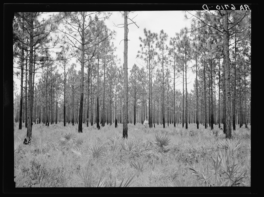
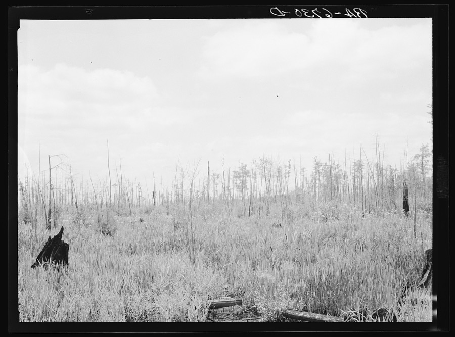
Taken for the Office of War Information and the Farm Security Administration, who photographed the country between 1935 and 1944. Works of United States government photographers, with no known restriction on use. Each opens its catalogue record.

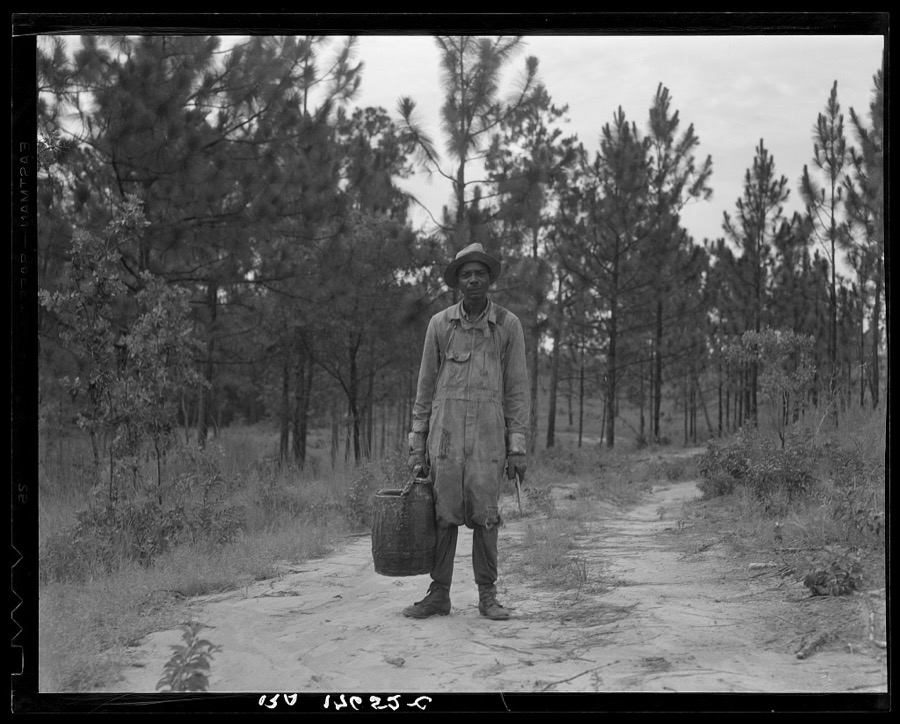
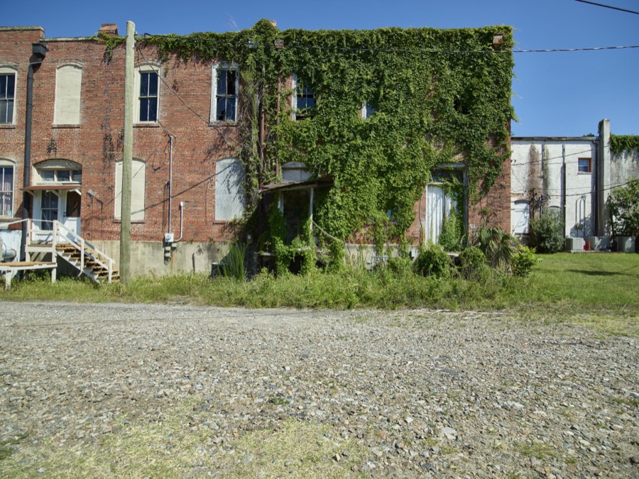



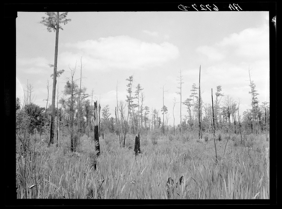
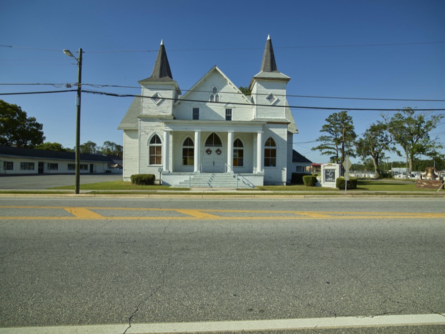



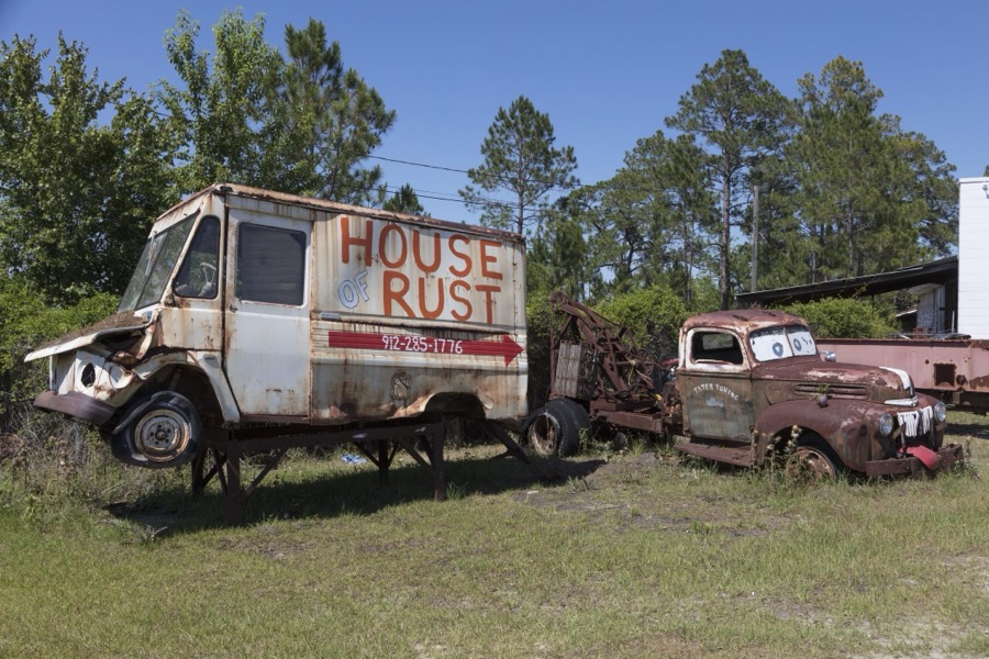



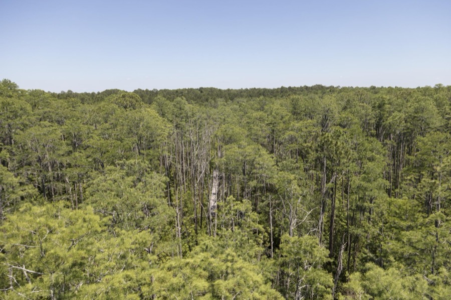
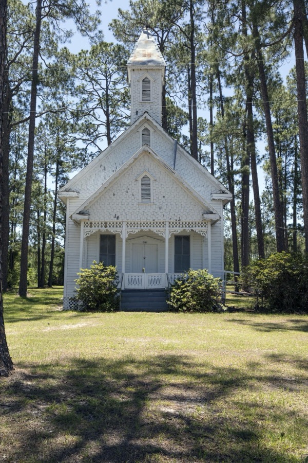
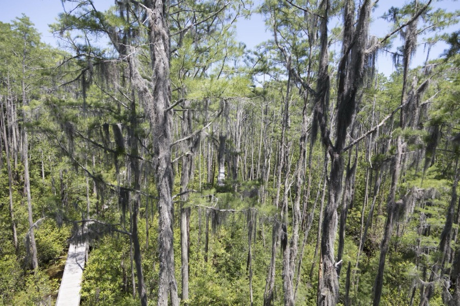



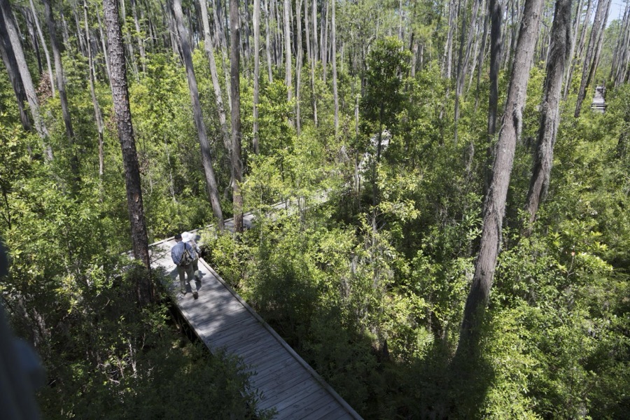




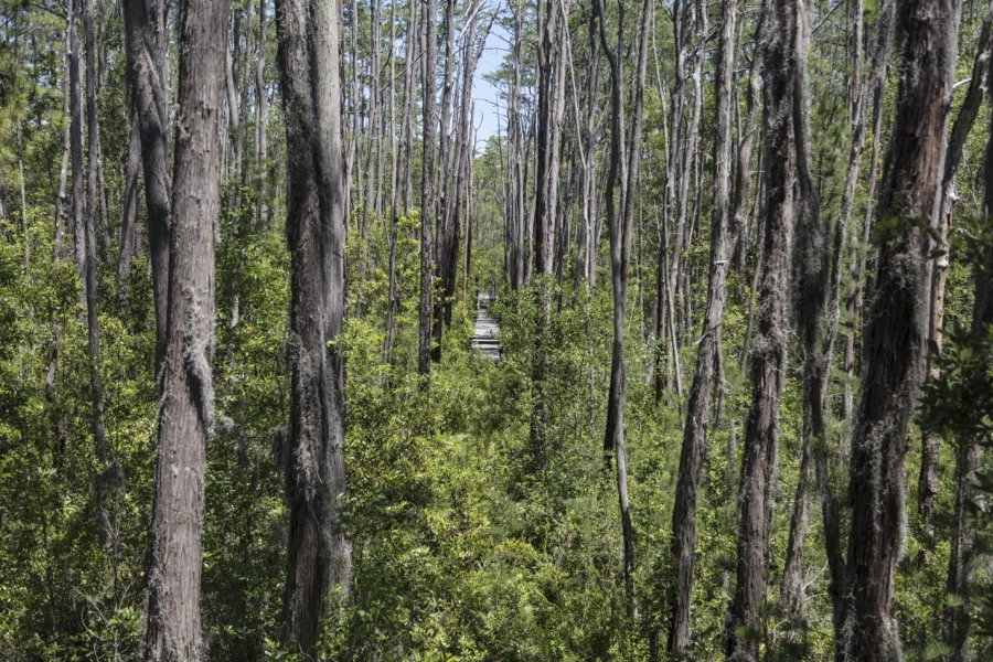

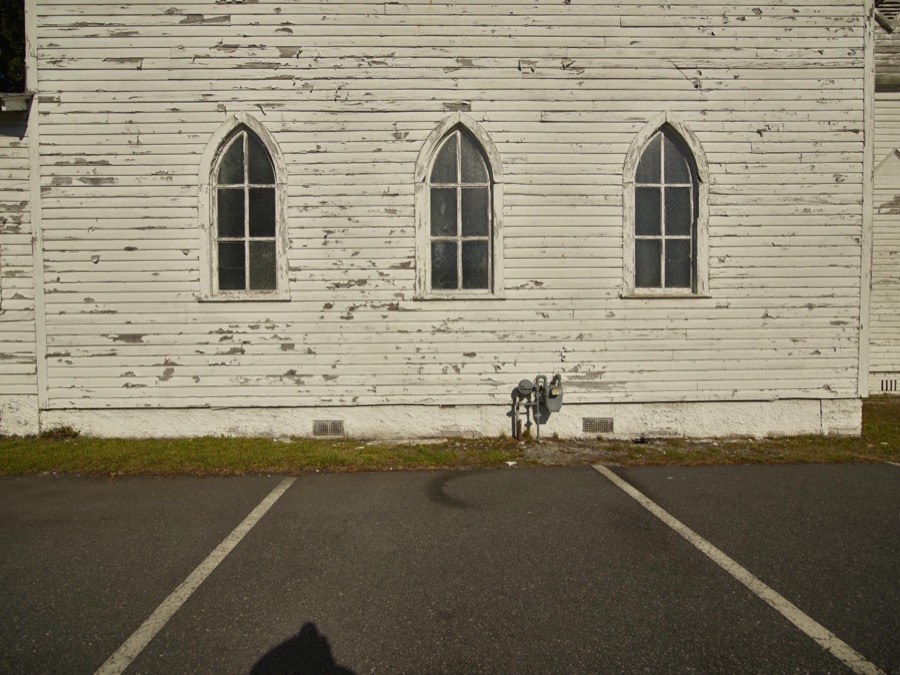






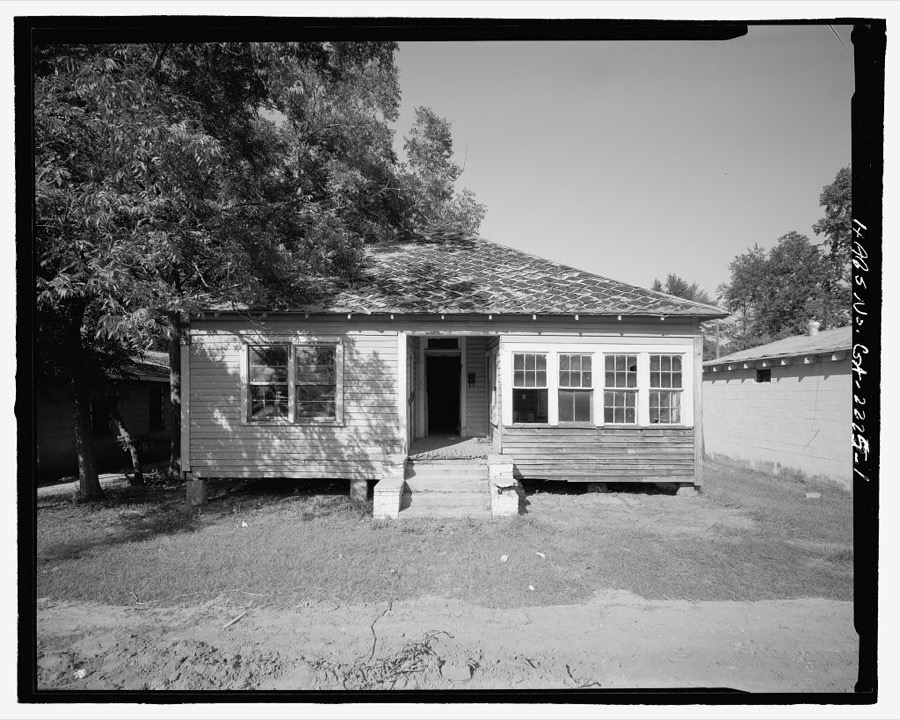
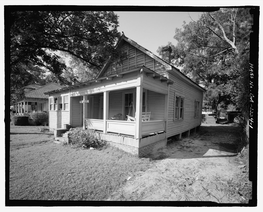
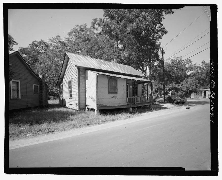
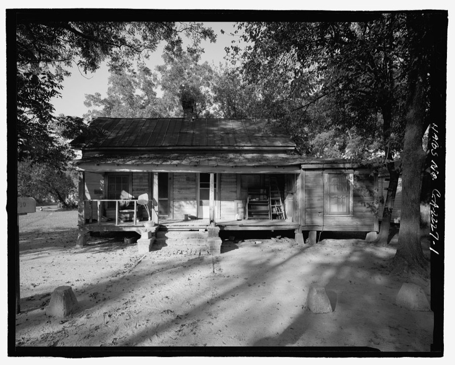
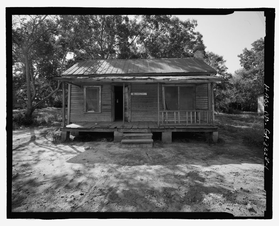
Every property in this county listed on the National Register of Historic Places, with the year it was listed and the federal nomination document.
| Photograph | Property | Type | Listed | Reference |
|---|---|---|---|---|
 | Obediah Barber Homestead | building | 1995 | 95000742 |
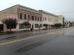 | Downtown Waycross Historic District | district | 1992 | 92000125 |
 | First African Baptist Church and Parsonage | building | 2003 | 03000197 |
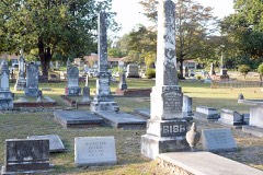 | Lott Cemetery | site | 2008 | 08000712 |
 | Manor School | building | 2017 | 100001310 |
 | Phoenix Hotel | building | 1986 | 86000802 |
 | U.S. Post Office and Courthouse | building | 1980 | 80001258 |
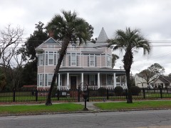 | Waycross Historic District | district | 1976 | 76000656 |
Sampled issues, machine-read from the Library of Congress scan and published page by page, so every headline and column is searchable text.
Waycross ; Brunswick, Ga. ; Tampa, Fla., 1896 to 19??. Machine-read from the Library of Congress scan.
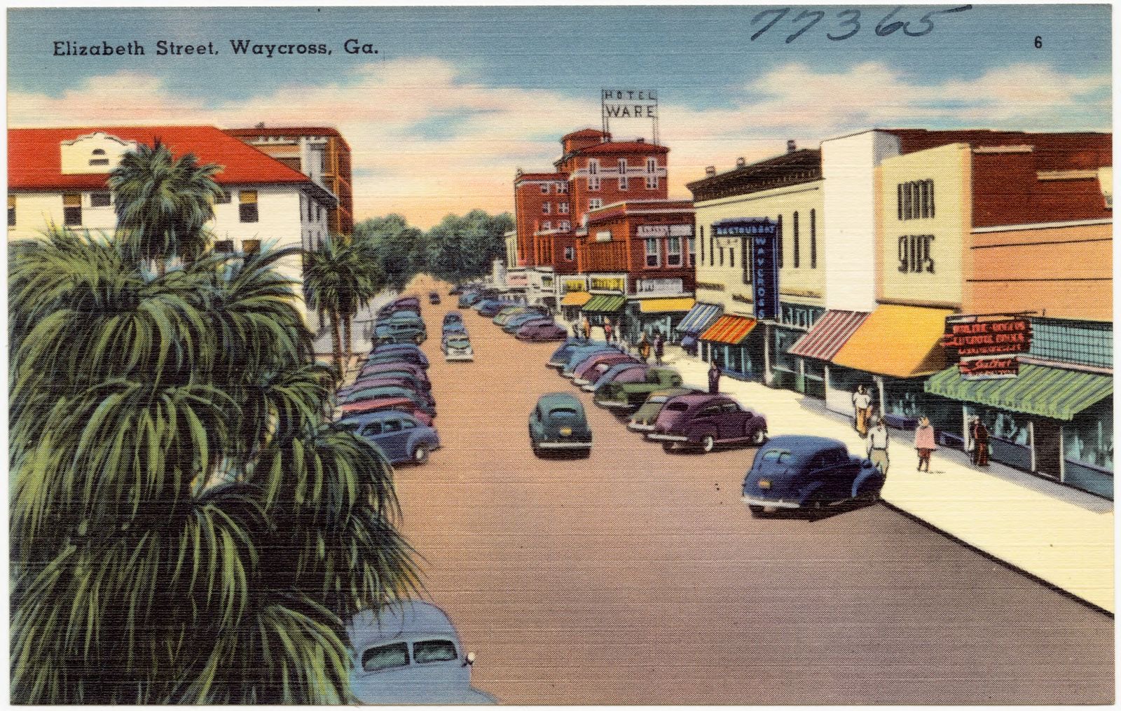
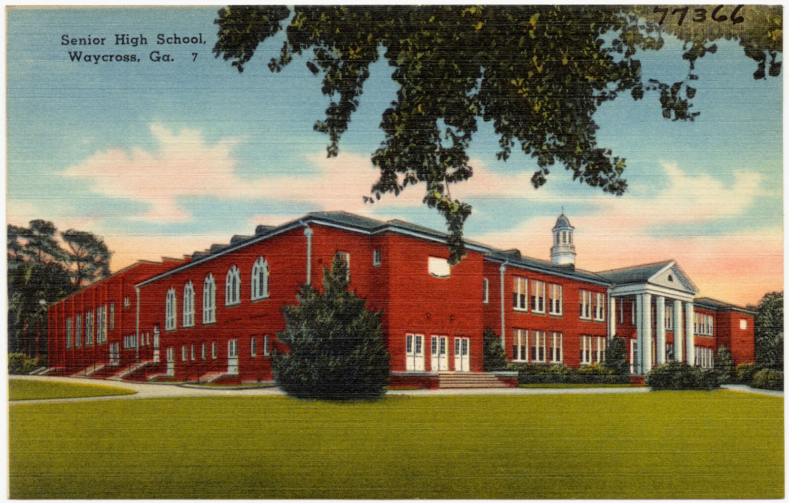
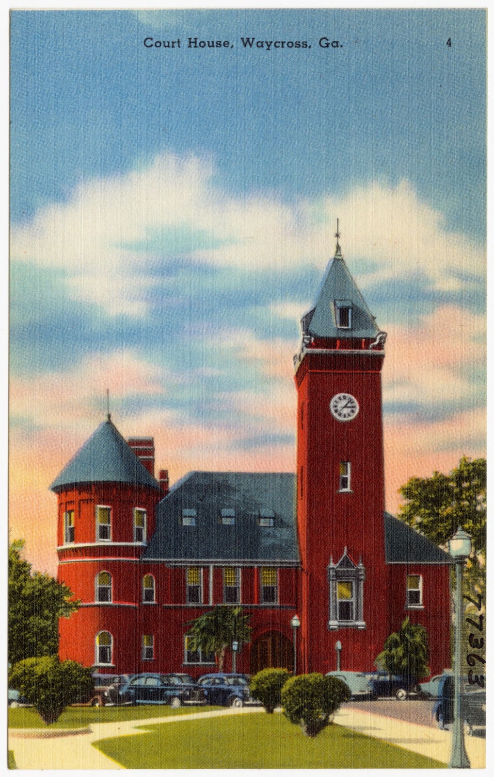
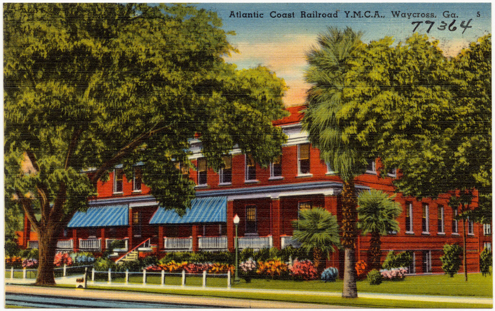
Selected from the Digital Public Library of America's 17 image records catalogued for this county. Every one shown here carries a public-domain status or a licence that permits reuse on a site that carries advertising; non-commercial, share-alike and restricted images are excluded. The selection is spread across the county's towns (at most eight per town), so no single institution's bulk upload crowds out the rest. Each opens the holding library's record, and the complete set at the Digital Public Library of America is one click away.
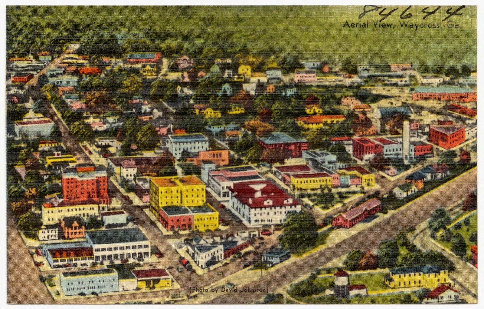


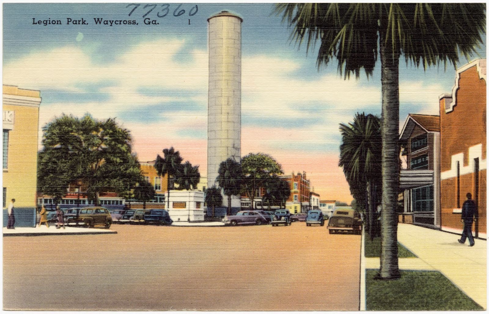
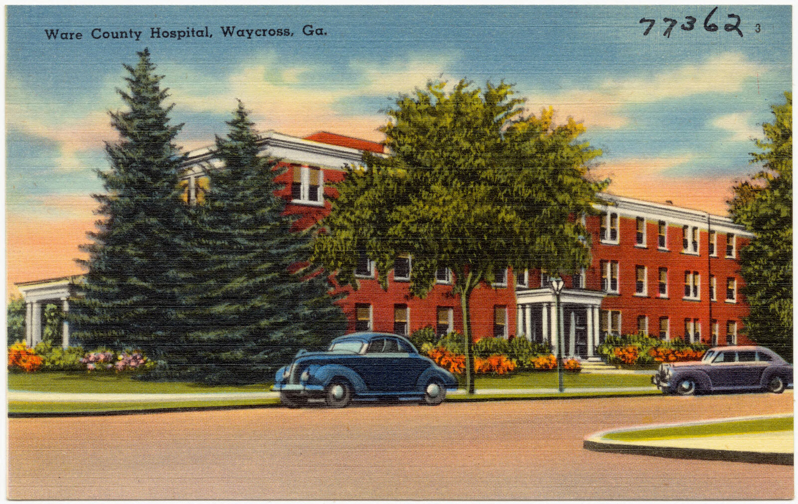




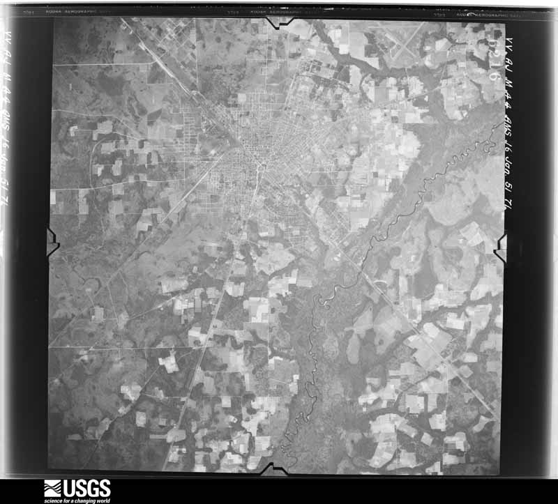
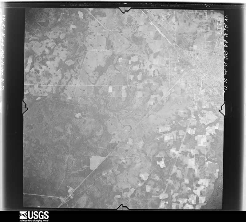
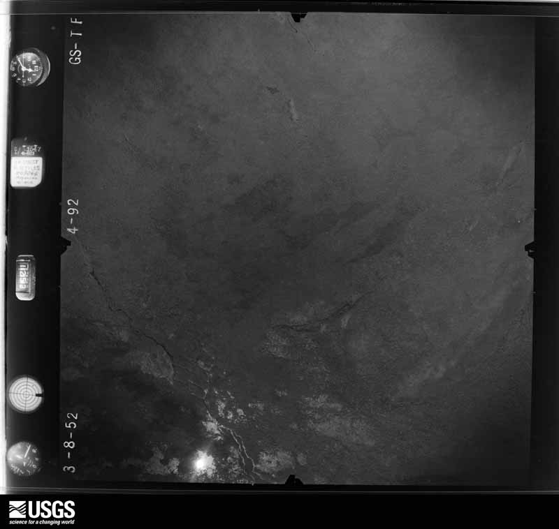
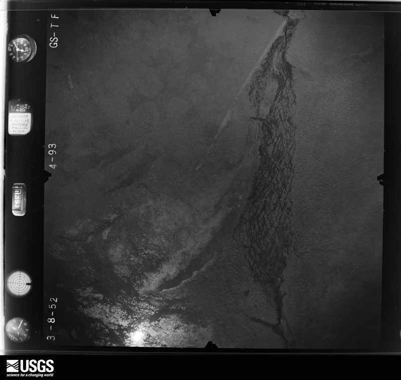
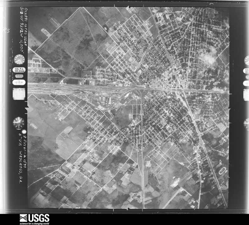
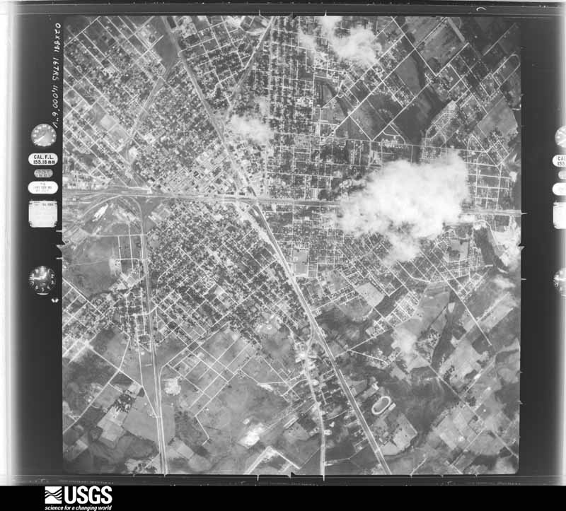
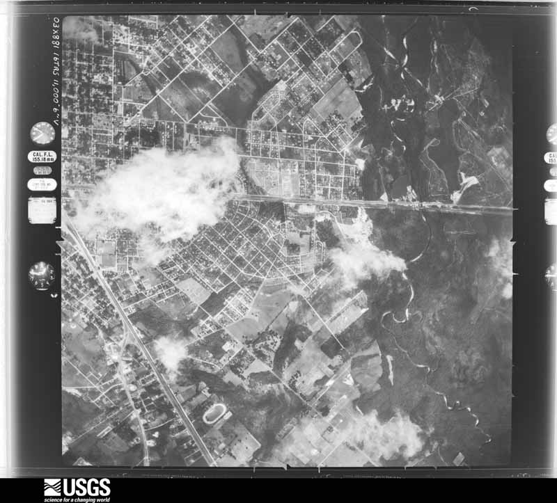
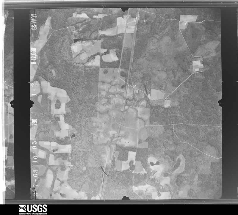
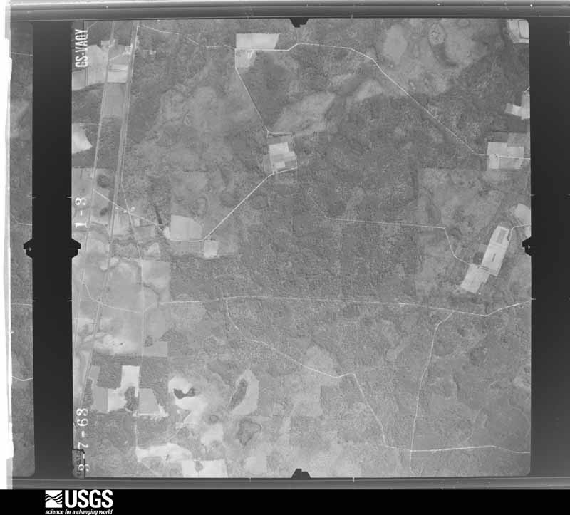
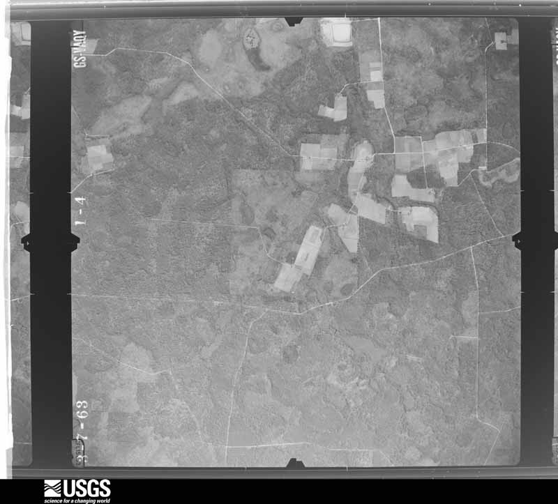
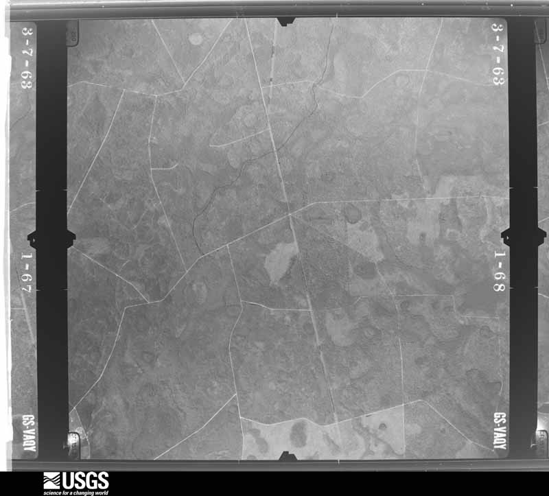
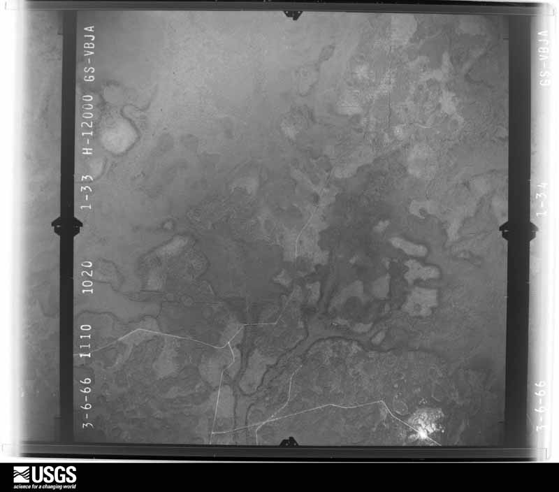
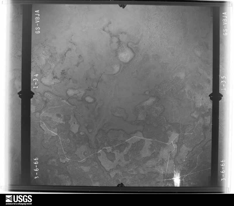
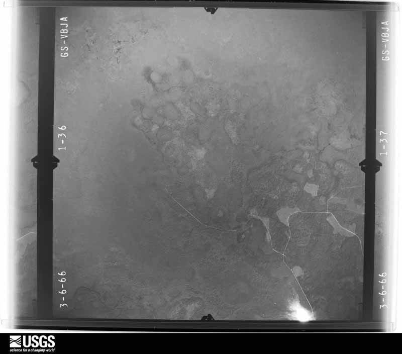
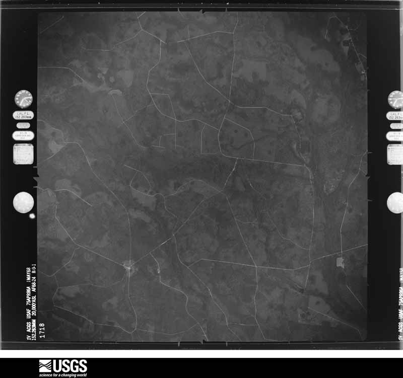
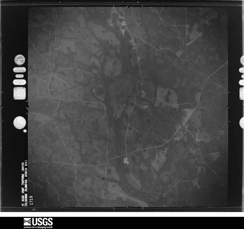
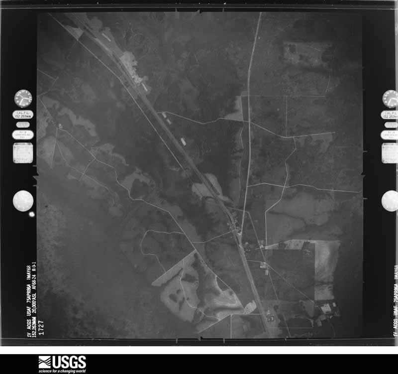
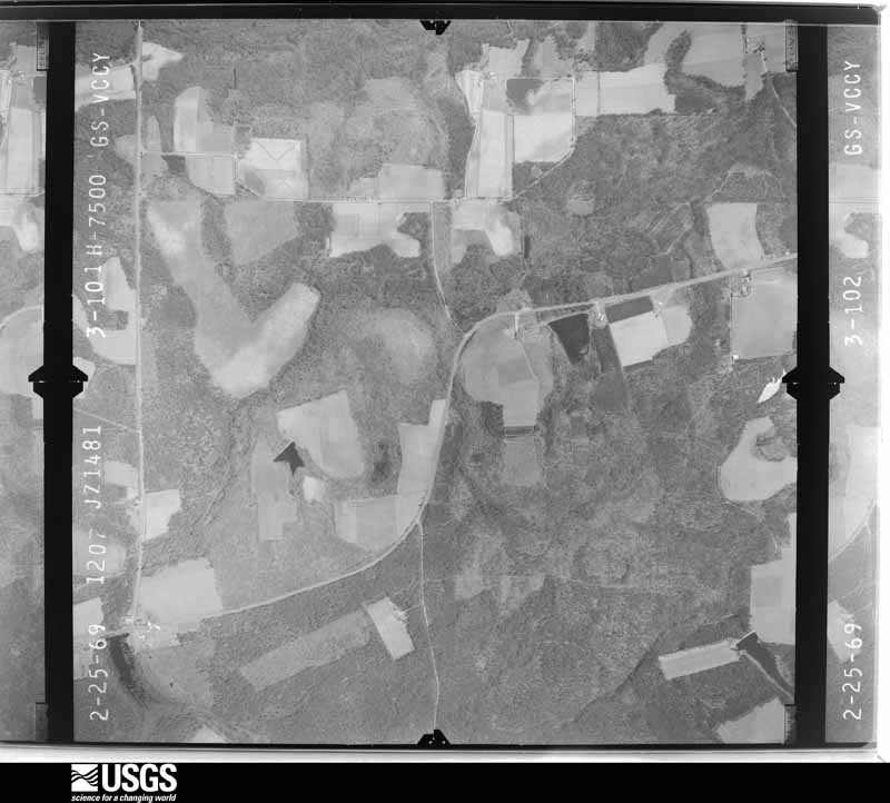
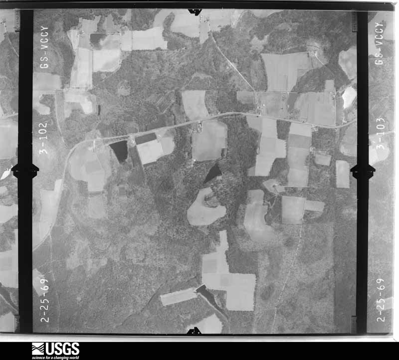
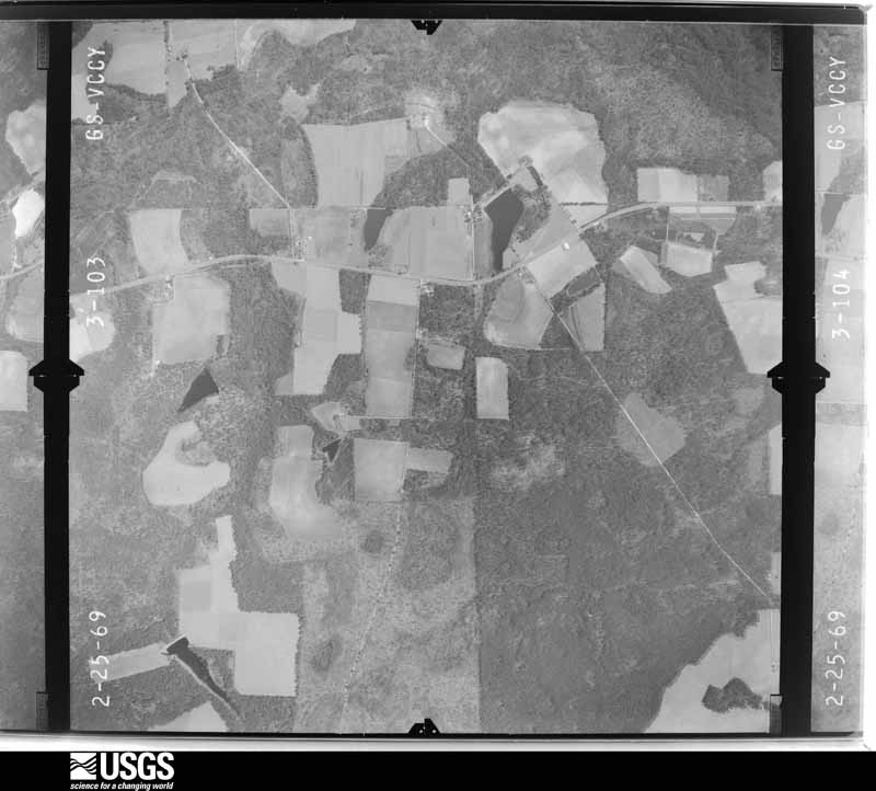
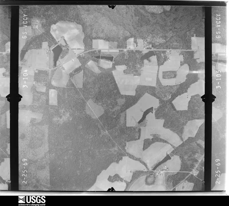
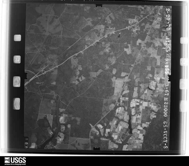
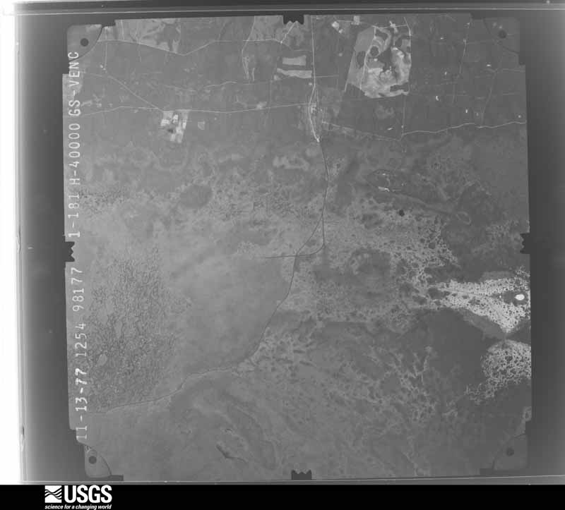
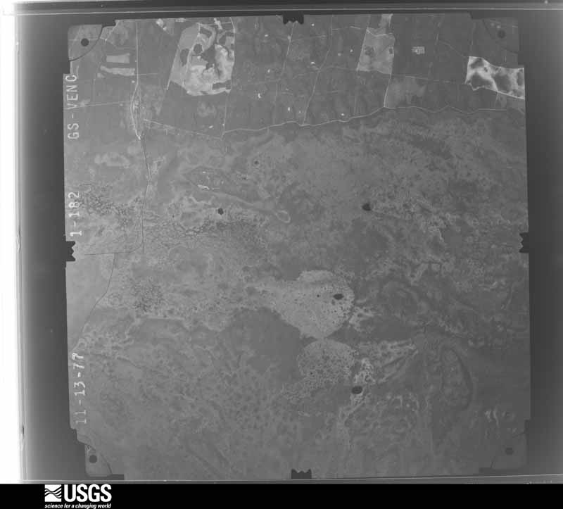
Flown by the U.S. Geological Survey between 1937 and 1989, the Aerial Photo Single Frames collection is the definitive mid-century view of the land: fields, roads and rivers as the camera saw them. The Survey holds 2,050 frames inside the rectangle that bounds this county; the 39 frames below were taken over the county itself, chosen across the decades of flights (at most four a year from that rectangle), so one flight cannot crowd out the rest. The full set is free to browse and download at EarthExplorer under the dataset Aerial Photo Single Frames.















The thermometers that kept this county's weather, and the gages that measured the flow of its streams, as the federal records hold them. The extremes below are measured values from those records, not estimates.
Who lived here in 1950, one enumeration district at a time, as the Census Bureau described each district. Each row opens its official National Archives result, with Population Schedules and ED Maps available there.
Every wildfire the federal occurrence database records inside this county: 2,269 of them, burning about 582,639 acres. 368 started naturally and 273 were recorded as arson. Each settlement page carries the fires within five miles of it.
| Reported cause | Fires |
|---|---|
| Debris and open burning | 1048 |
| Natural | 368 |
| Arson/incendiarism | 273 |
| Railroad operations and maintenance | 233 |
| Equipment and vehicle use | 144 |
| Missing data/not specified/undetermined | 79 |
| Misuse of fire by a minor | 64 |
| Recreation and ceremony | 43 |
| Smoking | 17 |
The five largest, by the area the report gives. None of them was recorded as arson.
| Date | Cause | Size | Reported by | Name on the report |
|---|---|---|---|---|
| 29 April 2011 | Natural | 309,200 acres | Okefenokee National Wildlife Refuge | HONEY PRAIRIE |
| 3 May 2002 | Natural | 124,110 acres | Okefenokee National Wildlife Refuge | BJ-BAYCOMP |
| 16 April 2007 | Natural | 68,361 acres | Okefenokee National Wildlife Refuge | GA-12 (SWEAT FARM RD.) |
| 7 April 2017 | Natural | 28,986 acres | Georgia Forestry Commission | FY2017-CHARLTON-055 |
| 15 June 2011 | Debris and open burning | 19,198 acres | Georgia Forestry Commission | FY2011-WARE-093 |
| 21 March 2002 | Debris and open burning | 5,816 acres | Okefenokee National Wildlife Refuge | NO.1WILD |
| 8 June 1993 | Natural | 5,711 acres | Okefenokee National Wildlife Refuge | GNATCATCHE |
| 9 July 1998 | Natural | 4,867 acres | Okefenokee National Wildlife Refuge | HONEYSCRUB |
Every settlement page carries the fires within five miles of it - see the settlement index below.
The NOAA Storm Events Database holds 304 reports for this county, causing 2 deaths, 21 injuries and about $6,487,300 in recorded property damage. Each settlement page carries the reports that name it.
| Kind of event | Reports |
|---|---|
| Thunderstorm Wind | 191 |
| Hail | 51 |
| Tornado | 20 |
| Heavy Rain | 14 |
| Lightning | 9 |
| Funnel Cloud | 7 |
| Flash Flood | 6 |
| Flood | 6 |
The most serious of them, by death, then injury, then recorded damage. The accounts are quoted exactly as the forecast office filed them.
| When | Event | Place named | Harm | What the report says |
|---|---|---|---|---|
| July 2025 | Lightning | Emerson Park | 2 killed | Two males, 18 and 19 years old, were killed by lightning in an open field near a vehicle during a thunderstorm Thursday evening along Lejuene Road and Alton Circle after fishing. The time of the event was based on county official information and lightning data. |
| February 1986 | Tornado (F1) | not stated | 12 hurt, $2,500,000 | no account filed |
| February 1986 | Tornado (F1) | not stated | 2 hurt, $250,000 | no account filed |
| February 1970 | Tornado (F2) | not stated | 2 hurt, $250,000 | no account filed |
| February 1966 | Tornado (F0) | not stated | 1 hurt, $25,000 | no account filed |
| May 1996 | Thunderstorm Wind | Manor | 1 hurt, $15,000 | no account filed |
| April 1957 | Tornado (F1) | not stated | 1 hurt, $2,500 | no account filed |
| April 2019 | Thunderstorm Wind | West Waycross | 1 hurt | A mobile home was rolled over and destroyed by severe thunderstorm winds. Three vehicles were also overturned at the same location. One person was injured inside the mobile home. |
| May 1996 | Lightning | Waycross | 1 hurt | no account filed |
| January 1999 | Thunderstorm Wind | Waycross | $2,200,000 | In the Jamestown Community two residents with minor damage. In an Industrial Park a boat manufacturing company had one building destroyed and moderate damage to one end of their main building. A mobile home manufacturing plant had a 100,000 sq/ft building and shop destroyed, 5 new mobile homes were destroyed and 14 others were damaged, 5 semi-trailers were damaged and a pickup truck. |
| July 2006 | Thunderstorm Wind | Dixie Union | $250,000 | no account filed |
| September 1991 | Tornado (F0) | not stated | $250,000 | no account filed |
| May 1989 | Tornado (F1) | not stated | $250,000 | no account filed |
| August 2000 | Thunderstorm Wind | Waycross | $50,000 | One large business with roof damage. Large trees and power lines were blown down. |
| June 1994 | Thunderstorm Wind | Waycross | $50,000 | Thunderstorm winds downed several large trees, power lines and knocked out telephone communications throughout Waycross including the 911 Emergency Operations Center. |
| September 2020 | Tornado (EF1) | Hebardville | $40,000 | Numerous gravestones were lofted and displaced along the damage path. A church at 2353 Carswell Avenue had roof damage where at leas 20% of the roof was lifted off of the structure. The cost of damage was unknown but estimated for Storm Data. |
| February 1971 | Tornado (F1) | not stated | $25,000 | no account filed |
| November 1968 | Tornado (F3) | not stated | $25,000 | no account filed |
| January 2007 | Tornado (F0) | Dixie Union | $20,000 | At 17:10 A pump house was destroyed.|At 17:15 One block off of highway 1 in Dixie Union along Otter Road multiple mobile homes had their siding stripped. Trees down. |
| June 2001 | Lightning | Waycross | $20,000 | Mobile home destroyed. |
| September 1998 | Flash Flood | Countywide | $20,000 | Rainfall amounts of 5 to 7 inches from the remnants of Hurricane Georges caused the closing of numerous street and roads. |
| August 2009 | Lightning | Waresboro | $15,000 | Lightning struck an outside garage-type building at a Waresboro residence and caused a fire which resulted in about $15,000 in damages. The building had held an antique tractor, a golf cart and a lot of antiques. |
| June 1998 | Thunderstorm Wind | Waycross | $15,000 | Large trees and power lines were blown down along HWY 122. Large tree fell on a truck. |
| August 1999 | Thunderstorm Wind | Dixie Union | $15,000 | no account filed |
| November 2011 | Thunderstorm Wind | Waresboro | $10,000 | Winds blew down a barn with sheet metal ripped off of the roof at 3661 Luvett Road. Straight line winds produced a damage swath less than a quarter of a mile. The time of the event was based on radar. The cost of damage was estimated. |
| January 2006 | Thunderstorm Wind | Waycross | $10,000 | Large billboard brought down and railroad crossing arm snapped by thunderstorm winds. Waycross Airport reported a gust to 41 mph as the storm moved over the area. |
| September 1998 | Flash Flood | Waycross | $10,000 | Underpasses with parts of some roads closed. Numerous stalled vehicles in standing water. |
| October 1998 | Flash Flood | South Portion | $10,000 | Numerous road were impassable. |
| November 1995 | Thunderstorm Wind | Waycross | $10,000 | Numerous large trees were uprooted or blown down. |
| May 1996 | Thunderstorm Wind | (Ays)Ware Co Arpt Wa | $10,000 | no account filed |
| November 2011 | Tornado (EF1) | (Ays)Ware Co Arpt Wa | $8,000 | EF1 tornado damage was observed at 5000 Hunt Trail. A roof was taken off of a gazebo and a porch and carports were damaged. At peak intensity of near 100 mph, the tornado lifted a shed 25 yards and moved a mobile home 1 foot off of its foundation. The cost of damage was estimated. |
| December 2018 | Lightning | Emerson Park | $5,000 | A home was damaged by lightning along Lucille Street. The cost of damage was unknown, but it was estimated for the event to be included in Storm Data. |
| December 2018 | Lightning | Waycross | $5,000 | A lightning strike damaged a home along Carswell Avenue Tebeau Street in Waycross. The cost of damage was unknown, but it was estimated for the event to be included in Storm Data. |
| June 2014 | Thunderstorm Wind | Waycross | $5,000 | Trees and power lines were blown down. The time of damage was based on radar. The cost of damage was estimated for the event to be included in StormData. |
| April 1997 | Thunderstorm Wind | Waycross | $5,000 | Storage shed and destroyed, and numerous reports of large trees blown down. |
| November 1995 | Thunderstorm Wind | Dixie Union | $5,000 | Large trees and power lines were blown down. |
| June 1994 | Thunderstorm Wind | Waycross | $5,000 | Several large trees and power lines were downed by thunder- storm winds. |
| June 2001 | Thunderstorm Wind | Needham | $3,500 | Large trees and power lines were blown down. |
| June 2000 | Thunderstorm Wind | Manor | $3,500 | Large trees and power lines were blown down. |
| June 2000 | Thunderstorm Wind | Waycross | $3,500 | Large trees and power lines were blown down. |
| June 2000 | Thunderstorm Wind | Waycross | $3,500 | Large trees and power lines were blown down. |
| September 1999 | Thunderstorm Wind | Waycross | $3,500 | Large trees and power lines were blown down. |
| August 1999 | Thunderstorm Wind | Waycross | $3,500 | Large trees and power lines were blown down. |
| May 2022 | Thunderstorm Wind | Dixie Union | $3,000 | Two trees were blown down in Dixie Union. One tree fell onto a home's roof. The cost of damage was unknown, but it was estimated for inclusion into Storm Data. |
| May 2015 | Thunderstorm Wind | Waycross | $3,000 | A tree fell onto a vehicle. The cost of damage was unknown but was estimated for the event to be included in Storm Data. |
| March 2012 | Thunderstorm Wind | Waycross | $3,000 | Trees were blown down near Plant Avenue and one large tree fell on a fence of a residence. The time of damage was based on radar imagery. The cost of damage was estimated. |
| June 2011 | Thunderstorm Wind | (Ays)Ware Co Arpt Wa | $3,000 | A double wide mobile home was rolled onto its roof at the Scottbuilt Homes plant in Waycross. It was unknown if the home was strapped down. The cost of damage was estimated. |
| November 2011 | Thunderstorm Wind | Waltertown | $3,000 | Roofs were damaged in the Palmetto Subdivision near Cameron Lane and US-1. The time of the event was based on radar. The cost of damage was estimated. |
| November 2011 | Thunderstorm Wind | Waycross | $3,000 | The county 911 dispatch center reported that roofs were torn off of sheds and a trampoline was blown into the middle of the road. The cost of damage was estimated. |
| June 2001 | Thunderstorm Wind | Waycross | $3,000 | Storefront plate glass window was blown out. |
| March 2001 | Thunderstorm Wind | Waycross | $2,500 | Large trees and power lines were blown down. |
| June 2001 | Thunderstorm Wind | Waycross | $2,500 | Large trees and power lines were blown down. |
| April 2000 | Thunderstorm Wind | Manor | $2,500 | Large trees were blown donw. |
| June 2000 | Thunderstorm Wind | Waycross | $2,500 | Large trees and power lines were blown down. |
| July 1998 | Thunderstorm Wind | Waycross | $2,500 | Large trees and power lines were blown down. |
| July 1997 | Thunderstorm Wind | Waycross | $2,500 | Large trees and limbs were blown down. |
| May 1997 | Thunderstorm Wind | Waresboro | $2,500 | Numerous reports of large trees blown down. A carport was damaged. |
| October 1997 | Thunderstorm Wind | Bickley | $2,500 | Large trees and power lines were blown down. |
| July 1995 | Thunderstorm Wind | Bickley | $2,500 | Thunderstorm winds knocked down trees and power lines over the northern sections of the county. |
| June 2018 | Thunderstorm Wind | Hebardville | $2,000 | Power lines were blown down and a transformer blew at 3040 Cherokee Street. Time of damage was based on radar. Cost of damage was unknown, but it was estimated for inclusion in Storm Data. |
The Survey's mineral resources record lists 6 workings inside this county. 4 still produce and 2 are closed or unrecorded. Each settlement page carries the workings within five miles of it.
| Commodity | Workings |
|---|---|
| Sand and Gravel, Construction | 6 |
The least common of them first, because a county's hundredth gravel pit says nothing its first ten did not.
| Where | Site | Commodity | Status | Recorded |
|---|---|---|---|---|
| Minchew Mine No. 3 | Sand and Gravel, Construction | Producer | ||
| Minchew Sand Co Mine | Sand and Gravel, Construction | Producer | ||
| Pafford Pit | Sand and Gravel, Construction | Producer | ||
| Pafford Pit No. 2 | Sand and Gravel, Construction | Producer | ||
| Unnamed Sand Deposit | Sand and Gravel, Construction | Past Producer | Alluvium | |
| Unnamed Sand Deposit | Sand and Gravel, Construction | Occurrence | Alluvium |
Named settlements recorded in the Geographic Names Information System, each with the topographic sheets covering it. Villages, hamlets and abandoned places alike. Each is shown with the nearest named watercourse or landform and the survey quadrangle it falls on. The 1 place that was also surveyed for fire insurance comes first, with the number of atlases and photographs held for them.
Waycross census division · 31501 · On Bailey Branch · Waycross East quadrangle
7 sheets, 1953 to 1988
Fire insurance: 9 atlases
Waycross census division · 31503 · Near Bear Island · Waycross SE quadrangle
8 sheets, 1953 to 1994
Waycross census division · 31503 · Waycross West quadrangle
8 sheets, 1953 to 1988
Manor census division · 31503 · On Big Alligator Creek · Manor quadrangle
8 sheets, 1953 to 1988
Waresboro census division · 31503 · On Kettle Creek · Dixie Union quadrangle
8 sheets, 1953 to 1988
Waresboro census division · 31552 · On Perch Creek · Axson quadrangle
7 sheets, 1953 to 1988
Manor census division · 31550 · Near Horseshoe Island · Manor quadrangle
8 sheets, 1953 to 1988
Waycross census division · 31503 · Near Croaker Island · Waycross SE quadrangle
8 sheets, 1953 to 1994
Waycross census division · 31501 · On Caney Branch · Waycross East quadrangle
7 sheets, 1953 to 1988
Dixie Union census division · 31552 · On Fullwood Creek · Talmo quadrangle
8 sheets, 1953 to 1988
Manor census division · 31503 · Near Bush Island · Waycross SW quadrangle
8 sheets, 1953 to 1988
7 topographic sheets and 9 fire insurance atlases, 1889 to 1947
The complete index, with nothing left out. Each of these is a separate record with its own page: a federal survey report, or the case file that argued a property on to the National Register. Both are public domain and reproduced word for word.