 Block
From the record
2 National Register listings published here.
Sources: the National Register database, National Park Service
21 topographic sheets and 8 fire insurance atlases across 2 places.
2 National Register listings published here.
Sources: the National Register database, National Park Service
Taken for the Office of War Information and the Farm Security Administration, who photographed the country between 1935 and 1944. Works of United States government photographers, with no known restriction on use. Each opens its catalogue record.



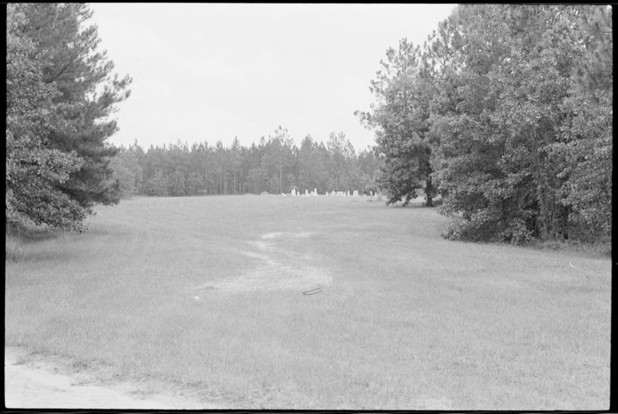
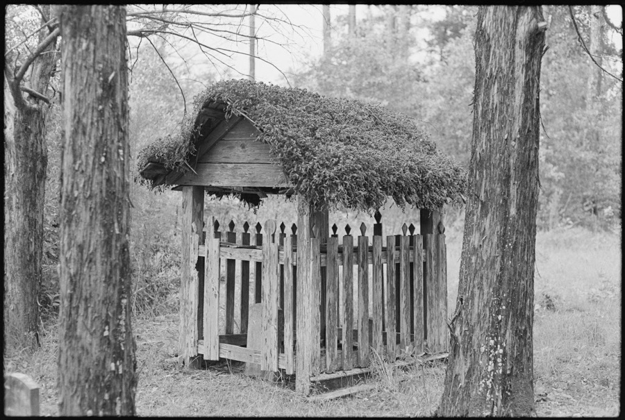
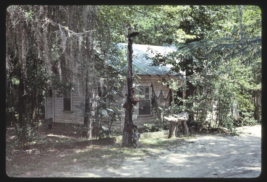

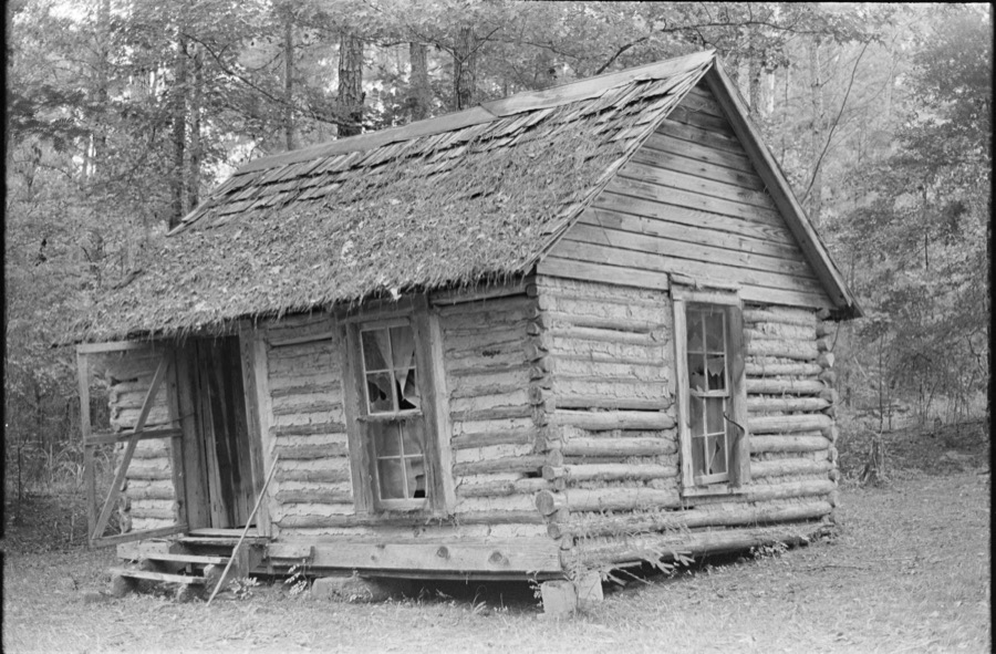


Every property in this county listed on the National Register of Historic Places, with the year it was listed and the federal nomination document.
| Photograph | Property | Type | Listed | Reference |
|---|---|---|---|---|
| Rochelle Historic District | district | 2008 | 07001398 | |
 | Wilcox County Courthouse | building | 1980 | 80001265 |
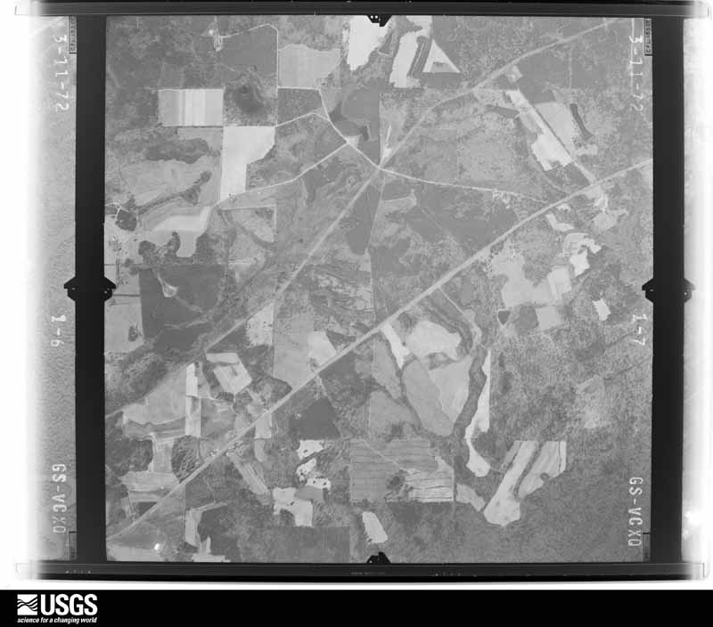
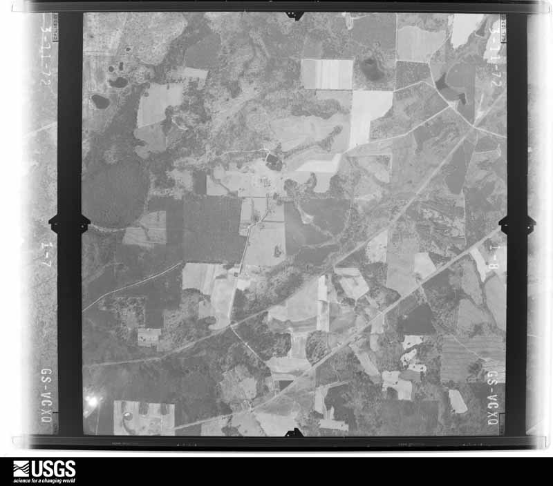
Flown by the U.S. Geological Survey between 1937 and 1989, the Aerial Photo Single Frames collection is the definitive mid-century view of the land: fields, roads and rivers as the camera saw them. The Survey holds 488 frames inside the rectangle that bounds this county; the 16 frames below were taken over the county itself, chosen across the decades of flights (at most four a year from that rectangle), so one flight cannot crowd out the rest. The full set is free to browse and download at EarthExplorer under the dataset Aerial Photo Single Frames.

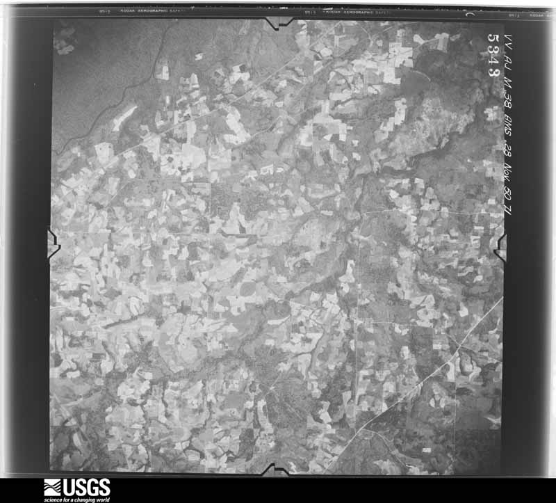
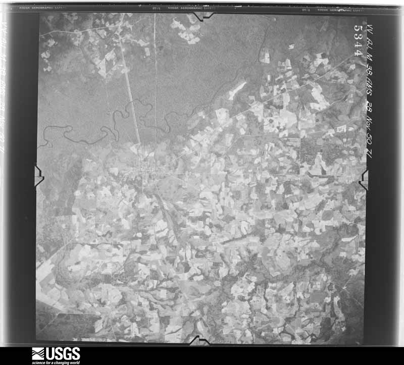
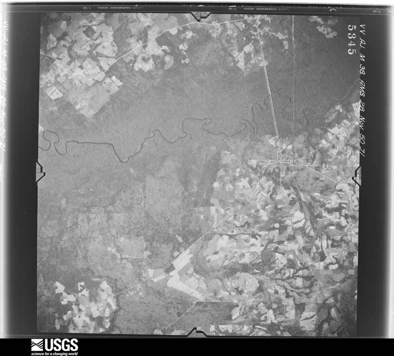




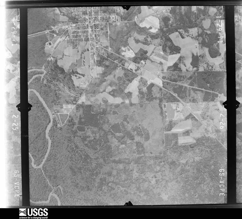
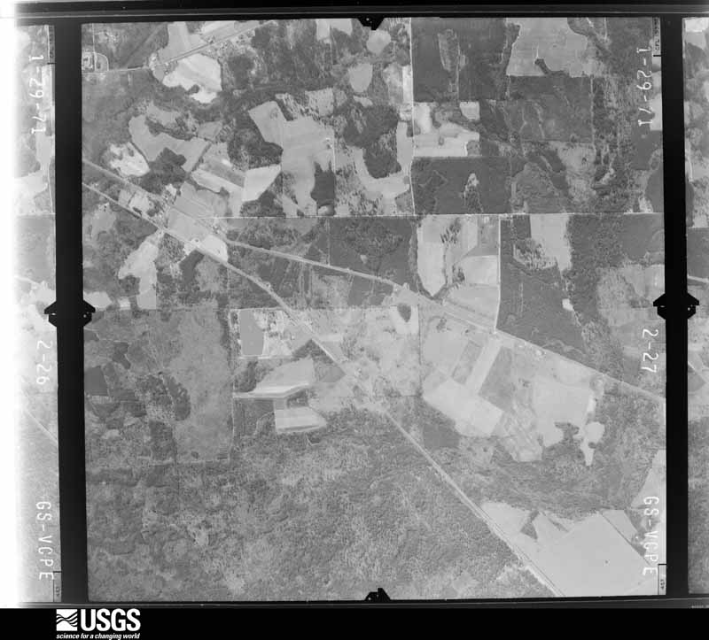
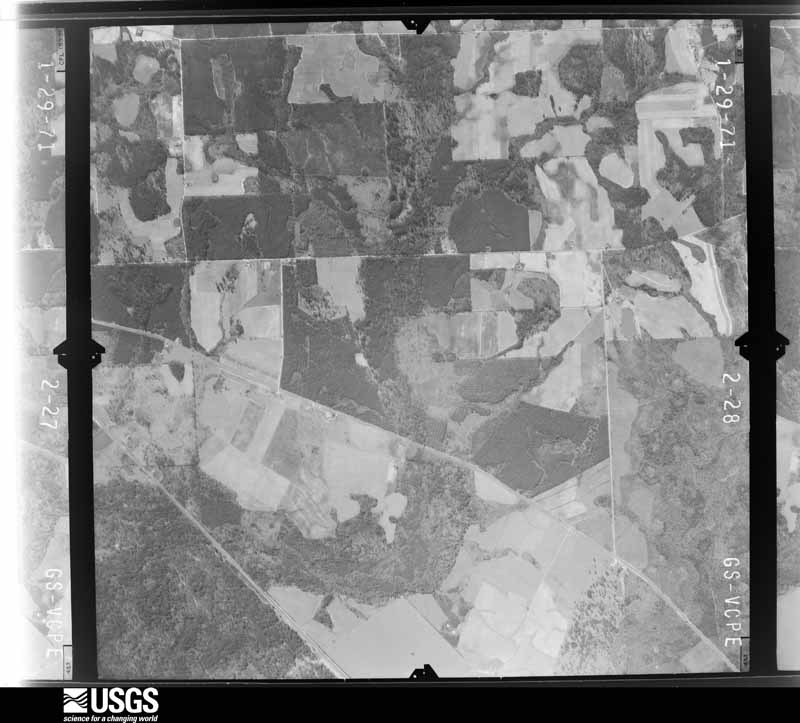

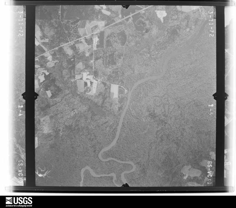
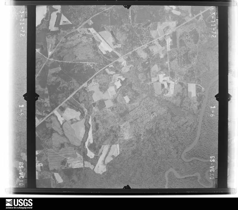
The thermometers that kept this county's weather, and the gages that measured the flow of its streams, as the federal records hold them. The extremes below are measured values from those records, not estimates.
Who lived here in 1950, one enumeration district at a time, as the Census Bureau described each district. Each row opens its official National Archives result, with Population Schedules and ED Maps available there.
Every wildfire the federal occurrence database records inside this county: 1,468 of them, burning about 6,557 acres. 88 started naturally and 140 were recorded as arson. Each settlement page carries the fires within five miles of it.
| Reported cause | Fires |
|---|---|
| Debris and open burning | 925 |
| Equipment and vehicle use | 152 |
| Arson/incendiarism | 140 |
| Missing data/not specified/undetermined | 89 |
| Natural | 88 |
| Smoking | 30 |
| Recreation and ceremony | 16 |
| Railroad operations and maintenance | 15 |
| Misuse of fire by a minor | 13 |
The five largest, by the area the report gives. Two of them were set deliberately.
| Date | Cause | Size | Reported by | Name on the report |
|---|---|---|---|---|
| 23 March 1999 | Arson/incendiarism | 233 acres | Georgia Forestry Commission | not named |
| 12 July 1996 | Debris and open burning | 129 acres | Georgia Forestry Commission | not named |
| 9 March 2006 | Arson/incendiarism | 117 acres | Georgia Forestry Commission | not named |
| 23 March 1996 | Debris and open burning | 94 acres | Georgia Forestry Commission | not named |
| 7 March 2005 | Debris and open burning | 92 acres | Georgia Forestry Commission | not named |
| 4 March 2017 | Debris and open burning | 87 acres | Georgia Forestry Commission | FY2017-WILCOX-037 |
| 10 March 2014 | Debris and open burning | 86 acres | Georgia Forestry Commission | FY2014-WILCOX-007 |
| 18 March 2004 | Debris and open burning | 85 acres | Georgia Forestry Commission | not named |
Every settlement page carries the fires within five miles of it - see the settlement index below.
The NOAA Storm Events Database holds 112 reports for this county, causing 1 death, 11 injuries and about $3,263,900 in recorded property damage. Each settlement page carries the reports that name it.
| Kind of event | Reports |
|---|---|
| Thunderstorm Wind | 68 |
| Hail | 21 |
| Tornado | 14 |
| Flash Flood | 5 |
| Lightning | 3 |
| Heavy Rain | 1 |
The most serious of them, by death, then injury, then recorded damage. The accounts are quoted exactly as the forecast office filed them.
| When | Event | Place named | Harm | What the report says |
|---|---|---|---|---|
| November 1989 | Tornado (F2) | not stated | 1 killed, 8 hurt, $250,000 | no account filed |
| May 2019 | Thunderstorm Wind | Abbeville | 2 hurt, $50,000 | A portion of a rood to the Abbeville supermarket was blown off during a thunderstorm , landing in the parking lot and resulting in minor damage to 3 vehicles. Two people sustained minor injuries, mainly cuts from glass. |
| April 1971 | Tornado (F2) | not stated | 1 hurt, $25,000 | no account filed |
| May 2017 | Tornado (EF1) | Double Run | $500,000 | A National Weather Service survey team found that an EF1 tornado with maximum wind speeds of 100 MPH and a maximum path width of 50 yards began in a pecan orchard south of Bowen Road and east of Worley Road where it quickly intensified with wind speeds of 100 mph. At least 100 pecan trees were snapped and shredded along a narrow, 30 yard wide, path with no damage on either side. The tornado traveled east-northeast and weakened slightly snapping several more trees. A 400ft section of a large chicken house was destroyed west of Highway 159 and a few more trees were blown down before the tornado lifted just east of the intersection of Bowen Road and Highway 159. No injuries were reported. [05/23/17: Tornado #3, County #1/1, EF-1, Wilcox, 2017:074]. |
| January 2017 | Tornado (EF2) | Double Run | $300,000 | A National Weather Service survey team found that the large tornado that moved across Dougherty and Turner Counties moved into Wilcox County crossing County Line Road just west of Shady Lane. Damage was seen off Double Run Road and County Road 41 where a small farm building was completely destroyed. Windows were broken at two residences and several small trees were uprooted. Just northeast, significant damage occurred along Crawford Dairy Road between July Road and Loblolly Road. A metal structure was significantly damaged with the several anchored metal trusses completely pulled off the concrete foundation, resulting in a total collapse of the building. Additional farm outbuildings and barns around the property were severely damaged, and hundreds of pines were snapped or uprooted. Farther along Crawford Dairy Road, just before SR 233, several large, wooden, electrical transmission towers were snapped (near the base) or leaning. The width of the tornado around this location is estimated to be at least one half mile. Along American Legion Road, between Bayberry Lane and Elderberry Lane, a large semi-trailer was flattened and moved across a road. The southeast corner of a metal structure was completely destroyed with deep concrete footings ripped out of the ground. Numerous large trees were snapped as well around this location and a small home nearby sustained minor roof and siding damage. Further northeast along Willingham road, trees were snapped or uprooted. As the tornado went over Mount Olive Road, just south of Highway 280, several manufactured homes were completely destroyed with debris moved 50 to 100 yards away from the original foundations. Based on this damage, the tornado is believed to have briefly strengthened to around 135 MPH. A large house just up the hill from this location sustained minor roof damage. The tornado crossed Highway 280 leveling numerous trees and destroying several small wooden sheds and barns. From this point on, the tornado weakened considerably, with only some trees snapped or uprooted along Kingfisher Road, just west of Abbeville where the damage ended. [01/22/17: Tornado #2, County #2/2, EF2, Crisp-Wilcox, 2017:026]. |
| October 2008 | Thunderstorm Wind | Rochelle | $250,000 | The Wilcox County Emergency Management Director reported that thunderstorm winds resulted in damage to several chicken houses. The roof was blown off nine chicken homes and five others were left leaning slightly. |
| January 1963 | Tornado (F1) | not stated | $250,000 | no account filed |
| April 2011 | Thunderstorm Wind | Pineview | $200,000 | The Wilcox County Emergency Management Director reported that one home sustained minor damage from downed trees and thunderstorm wind, while another sustained minor damage. |
| April 2009 | Tornado (EF0) | Double Run | $200,000 | Data gathered from the Wilcox County Emergency Management Director and from a damage survey conducted by the National Weather Service Forecast Office in Peachtree City, Georgia concluded that the EF1 tornado that began in the Cobb community of far southeast Sumter county and tracked east-southeast across Crisp county, continued into far southwest and south central Wilcox county before lifting. The total path length of the tornado was around 33 miles. Damage was sporadic along the path of the tornado. The tornado tracked approximately 12 miles within Wilcox county and remained as a weaker EF0 tornado with a maximum path width of 100 yards and maximum winds of 80 mph. Within Wilcox county, most of the damage was concentrated in the Owensboro area, with just isolated tree damage from Hatley, along the Crisp/Wilcox county line to the west side of Ownesboro. One home at the intersection of County Roads 60 and 61, just southwest of Owensboro, suffered considerable damage. A mobile home was destroyed just east of the intersection of Georgia Highways 233 and 238. Finally, considerable damage was noted to a pecan orchard east of County Road 63 or about one mile east-southeast of Owensboro, near the point where the tornado lifted. |
| March 2005 | Flash Flood | Northwest Portion | $150,000 | The public reported that extensive flash flooding was ongoing, mainly in the western portion of the county. Several roads were washed out. A number of people were trapped in their homes by rising flood waters and others were trapped in their cars with water rising up to the hood level. Four to six inches of rain fell across the northwest part of the county, mainly northwest of Rochelle. Much of this information was confirmed by the county 911 Center. |
| July 2000 | Lightning | Rochelle | $150,000 | The Ben Hill Herald-Leader reported that a lightning strike started a fire at a logging operation on Pineview Road which destroyed a fuel trailer with two tanks, an equipment trailer, and a log truck. |
| December 2005 | Tornado (F0) | Pitts | $125,000 | The Wilcox County 911 Center reported, and which was later confirmed by the Wilcox County Emergency Management Director, that an F0 tornado had touched down north-northwest of Pitts and traveled east-northeast across for approximately 2.5 miles. The path width was 50 yards. The tornado crossed Georgia Highway 215, but traveled mostly through rural areas. One home near Georgia Highway 215 sustained major damage and the roof was lifted off an industrial building. Some peanut trailers were tossed into a pond. At least three vehicles were damaged as a result of downed trees. |
| June 2001 | Lightning | Abbeville | $125,000 | The Abbeville NWS cooperative observer reported that lightning struck a home on U.S. Highway 129 near the Pulaski county line. The home was completely destroyed by the ensuing fire. |
| October 2008 | Hail | Rochelle | $100,000 | A deputy with the Wilcox County Sheriff's Department observed baseball-sized hail in the Rochelle area. The public observed golf ball-sized hail in the far northern part of the county in the Pineview area. Several car windshields were observed to have been damaged in the area. |
| March 2020 | Flash Flood | Pitts | $75,000 | Social Media initially reported a washout of SR-112 between Rebecca and Rochelle. News media and the Emergency Manager provided additional details later that a 250 foot stretch of SR-112 was washed out due to high flow through Mill Creek. Water covered the roadway by 1030 PM, and the road failed at approximately 230 AM on March 5. Repairs took more than two months. Radar estimates indicate that 5 to 6 inches of rain occurred in the area, falling on already wet soils, causing the flash flooding. |
| December 2007 | Thunderstorm Wind | Owensboro | $75,000 | A storm survey conducted by the National Weather Service Peachtree City, GA forecast office concluded that the same supercell which spawned the tornado west of Owensboro continued to cause damage across eastern Wilcox county in the form of damaging winds. Wind gusts were estimated from 75 to 100 mph from four miles northeast of Owensboro to three miles south of Abbeville. At the intersection of Bramblewood and Perry Roads, four miles northeast of Owensboro, wind gusts estimated near 100 mph flipped over a manufactured home and uprooted numerous large trees. Then further east, four miles south of Abbeville, wind gusts estimated at 70 mph ripped a tin roof off a house and blew a truck off a road and into a ditch. |
| June 1994 | Thunderstorm Wind | Rochelle | $50,000 | 25 to 30 pecan trees and power lines were downed by straight line thunderstorm winds along Georgia Highway 112. |
| August 2012 | Thunderstorm Wind | Rochelle | $40,000 | Law enforcement reported several trees down in Rochelle; one large oak tree fell on a mobile home. |
| July 2000 | Thunderstorm Wind | Abbeville | $28,000 | The Abbeville NWS Cooperative Observer reported that strong thunderstorm winds caused considerable damage in Abbeville. Numerous trees were toppled and two trailers were knocked over and damaged. The top was stripped off one of the trailers. The strong thunderstorm winds also picked up a car, with two occupants, traveling on a local road, and set it down in a resident's yard. No injuries were reported. |
| July 2015 | Thunderstorm Wind | Rochelle | $25,000 | The public reported around a dozen pecan trees blown down near the town of Rochelle. |
| April 2009 | Tornado (EF1) | Five Points | $25,000 | A survey conducted by the National Weather Service Forecast Office in Peachtree City confirmed that the EF1 tornado, that initially touched down in far northeast Sumter county, continued across far southern Dooly county, before ending just inside Wilcox county, approximately five miles north of Seville. The tornado tracked a little over one mile within Wilcox county with a maximum path width of 250 yards and maximum winds estimated at 110 mph. Within Wilcox county, only around 100 downed trees were noted along the path of the tornado. |
| May 2008 | Hail | Owensboro | $25,000 | The Wilcox County Sheriff's Office reported golf ball-sized hail in Owensboro. The National Weather Service cooperative observer for Wilcox county relayed reports of golf-ball sized hail four miles east of Owensboro and of quarter-sized hail four miles north of Owensboro. In both instances the ground was covered with hail. Brown Farm Pecan Orchard north of Owensboro reported some damage to leaves on the trees from the hail. |
| July 2007 | Thunderstorm Wind | Abbeville | $25,000 | The Wilcox County Emergency Management Director reported that the roof was blown off the Abbeville Highschool gymnasium. One tree was also down in the area. |
| January 2006 | Lightning | Pitts | $25,000 | The Wilcox county cooperative observer reported that a lightning-related fire destroyed a mobile home. |
| July 2000 | Thunderstorm Wind | Countywide | $20,000 | The Ben Hill Herald Leader reported that thunderstorms winds, estimated at 50 mph, knocked down numerous trees and power lines around the county, particularly in the Rochelle, Pitts, and Cedar Creek areas. On County Road 24, a large oak tree was blown down knocking several power lines down along with it. The downed power lines sparked several grass fires. The local cooperative observer for the NWS in Abbeville indicated that an awning was blown off the front porch of a mobile home as well. |
| October 2011 | Thunderstorm Wind | Double Run | $15,000 | The Wilcox County Emergency Management Director reported that up to eight trees were down near Rochelle, with a couple causing minor damage to homes. |
| January 2017 | Thunderstorm Wind | Owensboro | $12,000 | The Wilcox County Emergency Manager reported numerous trees and power lines blown down from south of Rochelle along Highway 233 to south of Abbeville along Highway 129. |
| September 2019 | Thunderstorm Wind | Abbeville | $10,000 | The Wilcox County 911 center reported trees blown down along Highway 215 near Sibbie Road and a logging truck toppled by winds on Mistletoe Road near American Legion Road. No injuries were reported. |
| August 1999 | Thunderstorm Wind | Rochelle | $10,000 | Wilcox county 911 reported thunderstorm winds tore the roof off of a house. |
| May 2011 | Thunderstorm Wind | Abbeville | $7,000 | Middle Georgia Electric Membership Cooperative reported that several trees and power lines were down along Connor Road, just south of Cedar Creek in northeast Wilcox county and along Antioch Church Road, near Antioch Church in southeast Wilcox county. The Wilcox County Emergency Management Director reported that at least two trees were down just south of Abbeville in far eastern Wilcox county. |
| June 2009 | Thunderstorm Wind | Seville | $7,000 | The Wilcox County 911 Center reported that several trees and power lines were down, scattered about the county. Radar data indicates that storms and strong winds, likely of 60 mph or possibly greater, affected the far western part of the county from the northwest corner of the county west of Pineview to just south of Pitts in the southwest part of the county. |
| May 2006 | Thunderstorm Wind | Countywide | $7,000 | The Wilcox County 911 Center reported that several trees were down scattered throughout the county. The most significant wind damage occurred across the eastern portion of the county along U.S. Highway 129 north and south of Abbeville where several trees were down, including several on U.S. Highway 129. |
| May 2016 | Thunderstorm Wind | Pitts | $6,000 | The Wilcox County Sheriff's Office reported several trees blown down on Highway 215 north of Pitts. |
| June 2020 | Thunderstorm Wind | Rochelle | $5,000 | The Wilcox County Emergency Manager reported trees and poweer lines blown down along 5th Avenue in Rochelle. |
| June 2020 | Flash Flood | Rochelle | $5,000 | The Emergency Manager reported a car underwater near the Rochelle Baptist Church. |
| June 2018 | Thunderstorm Wind | Browning | $5,000 | The Wilcox County 911 center reported several trees blown down near the intersection of American Legion Road and Highway 129 south of Abbeville. |
| January 2017 | Thunderstorm Wind | Rochelle | $5,000 | The Wilcox County Emergency Manager reported numerous trees blown down from Rochelle to Abbeville. Including 2 trees down in Rochelle and 1 down on Wilson Road and another on Owensboro Road between Rochelle and Abbeville. |
| March 2013 | Thunderstorm Wind | Five Points | $5,000 | The Wilcox County 911 Center reported trees and power lines blown down county wide. |
| March 2009 | Thunderstorm Wind | Seville | $5,000 | The Wilcox County Emergency Management Director reported that several trees were blown down across the county. |
| July 2007 | Thunderstorm Wind | Pineview | $5,000 | The Wilcox County Emergency Management Director and the Wilcox County 911 Center reported that several trees and power lines were down in the Pineview, Abbeville, and Rochelle areas. Much of the Pineview area was left without power. In addition, two delivery vehicles were blown off the road south of Rochelle. |
| December 2007 | Tornado (EF1) | Owensboro | $5,000 | A survey conducted by the National Weather Service Forecast Office in Peachtree City, GA concluded that a tornado touched down approximately two miles west of Owensboro in southeast Wilcox county. The tornado moved rapidly northeast and lifted approximately 0.5 mile to the west-northwest of Owensboro. The tornado path width was estimated to be approximately 100 yards wide. The roof was ripped off an old dairy shed and a cinder block attached to the shed was completely destroyed. While the tornado lifted shortly after touching down, wind damage, consistent with 70 to 100 mph wind speeds, continued northeast across the county toward Abbeville. |
| April 2007 | Thunderstorm Wind | Browning | $5,000 | The Wilcox County Emergency Management Director reported that a couple of trees were down on a home under construction. |
| May 2003 | Thunderstorm Wind | Countywide | $5,000 | The public, as well as the Abbeville cooperative observer for the National Weather Service, reported that a number of trees and several power lines were blown down around the county, including two large pine trees south of Abbeville. |
| June 1998 | Thunderstorm Wind | Abbeville | $5,000 | A cooperative observer reported several trees were blown down around the county. |
| July 1998 | Thunderstorm Wind | Countywide | $5,000 | WMGX radio station reported dime size hail and numerous trees down in Rochelle. One tree was blocking Georgia highway 215. A Dairy Queen sign was also blown down. Wilcox county 911 reported trees down and power outages countywide. |
| October 1993 | Thunderstorm Wind | Pitts | $5,000 | Thunderstorm winds blew a mobile home off its foundation and downed several large trees. Montgomery County 2 E Uvalda,30,0550EST,,,0,0,2,?,Thunderstorm Winds Several large tree limbs and small trees were downed by thunderstorm winds. |
| June 2018 | Thunderstorm Wind | Abbeville | $4,000 | The Wilcox County 911 center reported several trees blown down on Siloam Road near the railroad tracks. |
| June 1997 | Thunderstorm Wind | Rochelle | $4,000 | Numerous trees downed between Rochelle and Abbeville. |
| May 2017 | Thunderstorm Wind | Rochelle | $3,000 | The Wilcox County Emergency Manager reported a few trees blown down around Highway 215 and American Legion Road. |
| August 2013 | Thunderstorm Wind | Owensboro | $3,000 | The Middle Georgia EMC reported a few power outages across the county, mainly in the south and southwest portion, mostly caused by downed limbs. The Wilcox County 911 Center reported that a couple of trees were blown down in Pitts as well. |
| April 1955 | Tornado (F0) | not stated | $2,500 | no account filed |
| August 2010 | Thunderstorm Wind | Owensboro | $2,000 | The Wilcox County 911 Center reported that at least a dozen trees were down around Owensboro near Georgia Highway 233. |
| June 2010 | Thunderstorm Wind | Abbeville | $2,000 | The Wilcox County 911 Center and the public reported that at least 10 trees were down across the eastern part of the county from southwest of Abbeville to just north of Abbeville. Trees were reported down on Bowen Street, McCampbell Street, and on American Legion Road among other locations. A couple of other trees were down in the north central part of the county and also southwest of Rochelle, caused by separate thunderstorms. |
| July 2004 | Thunderstorm Wind | Rochelle | $2,000 | The Rochelle Police Department reported that power lines were down west of Rochelle, while in the city itself, several limbs were blown down. |
| March 2001 | Thunderstorm Wind | Rochelle | $2,000 | The Wilcox county 911 center reported 4 to 5 trees down from Rochelle to Abbeville. |
| June 1999 | Thunderstorm Wind | Abbeville | $2,000 | Wilcox county 911 center and a co-op observer reported several large oak trees were uprooted. There also was an unofficial report of a tornado. |
| May 2022 | Thunderstorm Wind | Kramer | $1,000 | Tree down near the intersection of GA-112 and Christian Hill Rd. |
| June 2021 | Thunderstorm Wind | Rochelle | $1,000 | The Wilcox County Emergency Manager reported power lines blown down along Highway 215 in Rochelle. |
| June 2019 | Thunderstorm Wind | Sibbie | $1,000 | The Wilcox County Emergency Manager reported a tree blown down on Walker Road. |
| May 2011 | Thunderstorm Wind | Pitts | $1,000 | The Wilcox County 911 Center reported that four trees were down between Pitts and Rochelle. |
Named settlements recorded in the Geographic Names Information System, each with the topographic sheets covering it. Villages, hamlets and abandoned places alike. Each is shown with the nearest named watercourse or landform and the survey quadrangle it falls on. The 2 places that were also surveyed for fire insurance come first, with the number of atlases and photographs held for them.
Abbeville census division · 31001 · On Town Creek · Abbeville South quadrangle
7 sheets, 1953 to 1988
Fire insurance: 5 atlases
Rochelle census division · 31079 · On Reynolds Creek · Rochelle quadrangle
7 sheets, 1953 to 1988
Fire insurance: 3 atlases
Pineview census division · 31079 · On Bear Creek · Pineview West quadrangle
8 sheets, 1957 to 1988
Abbeville census division · 31001 · On Deaden Branch · Queensland quadrangle
8 sheets, 1953 to 1988
Abbeville census division · 31001 · On Cypress Creek · Abbeville South quadrangle
7 sheets, 1953 to 1988
7 topographic sheets and 5 fire insurance atlases, 1899 to 1936
7 topographic sheets and 3 fire insurance atlases, 1909 to 1934