 Block
Double Run, Georgia
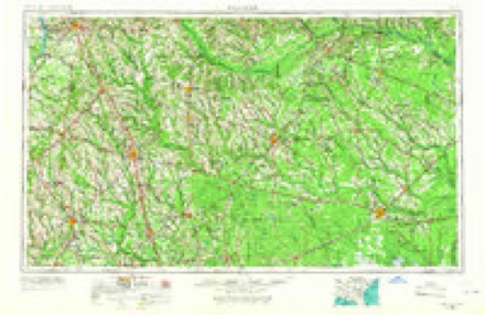
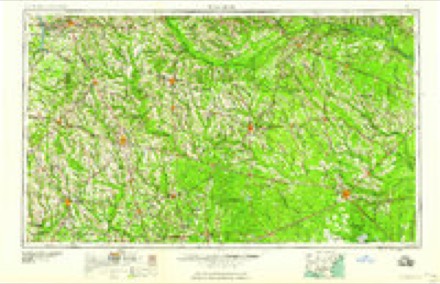
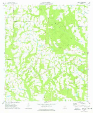
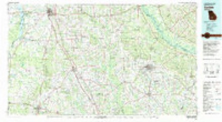
7 topographic sheets cover this place, the earliest surveyed in 1953 and the latest in 1988. It stands in the Pitts census division. It lies in ZIP code area 31072. The Survey maps it on the Amboy quadrangle.
Topographic sheets covering this place
5 surveys from 7 printed sheetsMatched by testing this settlement's coordinate against the published boundary of every sheet in the United States Geological Survey's historical collection. Each opens the scanned sheet at the Survey.
- 1953 USGS Waycross quadrangle1:250000, 2 printings
- 1958 USGS Waycross quadrangle1:250000, 2 printings
- 1974 USGS Amboy quadrangle1:24000
- 1981 USGS Cordele quadrangle1:100000
- 1988 USGS Waycross quadrangle1:250000
Fires near this place
206 since 1992Regional context, not property-specific evidence. The federal wildfire occurrence database lists 206 fires within 5 miles of Double Run between 1992 and 2020, burning about 1,193 acres in total. 11 started naturally. 28 were recorded as arson. Distance is straight-line from the map coordinates, so a fire counted here may appear on a neighbouring settlement's page as well.
| Reported cause | Fires |
|---|---|
| Debris and open burning | 137 |
| Arson/incendiarism | 28 |
| Equipment and vehicle use | 18 |
| Natural | 11 |
| Missing data/not specified/undetermined | 7 |
| Smoking | 2 |
| Railroad operations and maintenance | 2 |
| Recreation and ceremony | 1 |
The most recent of them, most recent first, with the day each was reported and the service that recorded it.
| Date | Cause | Size | Reported by | Name on the report |
|---|---|---|---|---|
| 8 September 1996 | Arson/incendiarism | under an acre | Georgia Forestry Commission | not named |
| 6 September 1997 | Equipment and vehicle use | under an acre | Georgia Forestry Commission | not named |
| 4 September 1995 | Equipment and vehicle use | under an acre | Georgia Forestry Commission | not named |
| 25 September 2007 | Equipment and vehicle use | 3.1 acres | Georgia Forestry Commission | not named |
| 22 September 1995 | Debris and open burning | 3.1 acres | Georgia Forestry Commission | not named |
| 2 September 1995 | Debris and open burning | under an acre | Georgia Forestry Commission | not named |
| 17 September 2005 | Equipment and vehicle use | under an acre | Georgia Forestry Commission | not named |
| 13 September 2017 | Debris and open burning | under an acre | Georgia Forestry Commission | FY2018-TURNER-004 |
Settlements close enough to share some of these fires:
Storms near this place
4 since 2009Regional context, not property-specific evidence. The National Weather Service names Double Run in 4 storm reports between 2009 and 2017: 3 tornado, 1 thunderstorm wind. No death or injury is recorded in these reports. Each account below is quoted exactly as the forecast office filed it, from the NOAA Storm Events Database, and each date opens the federal record of that event.
| When | Event | Place named | Harm | What the report says |
|---|---|---|---|---|
| May 2017 | Tornado (EF1) | Double Run | $500,000 | A National Weather Service survey team found that an EF1 tornado with maximum wind speeds of 100 MPH and a maximum path width of 50 yards began in a pecan orchard south of Bowen Road and east of Worley Road where it quickly intensified with wind speeds of 100 mph. At least 100 pecan trees were snapped and shredded along a narrow, 30 yard wide, path with no damage on either side. The tornado traveled east-northeast and weakened slightly snapping several more trees. A 400ft section of a large chicken house was destroyed west of Highway 159 and a few more trees were blown down before the tornado lifted just east of the intersection of Bowen Road and Highway 159. No injuries were reported. [05/23/17: Tornado #3, County #1/1, EF-1, Wilcox, 2017:074]. |
| January 2017 | Tornado (EF2) | Double Run | $300,000 | A National Weather Service survey team found that the large tornado that moved across Dougherty and Turner Counties moved into Wilcox County crossing County Line Road just west of Shady Lane. Damage was seen off Double Run Road and County Road 41 where a small farm building was completely destroyed. Windows were broken at two residences and several small trees were uprooted. Just northeast, significant damage occurred along Crawford Dairy Road between July Road and Loblolly Road. A metal structure was significantly damaged with the several anchored metal trusses completely pulled off the concrete foundation, resulting in a total collapse of the building. Additional farm outbuildings and barns around the property were severely damaged, and hundreds of pines were snapped or uprooted. Farther along Crawford Dairy Road, just before SR 233, several large, wooden, electrical transmission towers were snapped (near the base) or leaning. The width of the tornado around this location is estimated to be at least one half mile. Along American Legion Road, between Bayberry Lane and Elderberry Lane, a large semi-trailer was flattened and moved across a road. The southeast corner of a metal structure was completely destroyed with deep concrete footings ripped out of the ground. Numerous large trees were snapped as well around this location and a small home nearby sustained minor roof and siding damage. Further northeast along Willingham road, trees were snapped or uprooted. As the tornado went over Mount Olive Road, just south of Highway 280, several manufactured homes were completely destroyed with debris moved 50 to 100 yards away from the original foundations. Based on this damage, the tornado is believed to have briefly strengthened to around 135 MPH. A large house just up the hill from this location sustained minor roof damage. The tornado crossed Highway 280 leveling numerous trees and destroying several small wooden sheds and barns. From this point on, the tornado weakened considerably, with only some trees snapped or uprooted along Kingfisher Road, just west of Abbeville where the damage ended. [01/22/17: Tornado #2, County #2/2, EF2, Crisp-Wilcox, 2017:026]. |
| April 2009 | Tornado (EF0) | Double Run | $200,000 | Data gathered from the Wilcox County Emergency Management Director and from a damage survey conducted by the National Weather Service Forecast Office in Peachtree City, Georgia concluded that the EF1 tornado that began in the Cobb community of far southeast Sumter county and tracked east-southeast across Crisp county, continued into far southwest and south central Wilcox county before lifting. The total path length of the tornado was around 33 miles. Damage was sporadic along the path of the tornado. The tornado tracked approximately 12 miles within Wilcox county and remained as a weaker EF0 tornado with a maximum path width of 100 yards and maximum winds of 80 mph. Within Wilcox county, most of the damage was concentrated in the Owensboro area, with just isolated tree damage from Hatley, along the Crisp/Wilcox county line to the west side of Ownesboro. One home at the intersection of County Roads 60 and 61, just southwest of Owensboro, suffered considerable damage. A mobile home was destroyed just east of the intersection of Georgia Highways 233 and 238. Finally, considerable damage was noted to a pecan orchard east of County Road 63 or about one mile east-southeast of Owensboro, near the point where the tornado lifted. |
| October 2011 | Thunderstorm Wind | Double Run | $15,000 | The Wilcox County Emergency Management Director reported that up to eight trees were down near Rochelle, with a couple causing minor damage to homes. |
Nearest settlements
The eight closest, with where each one stands in the county. Distances are straight-line, computed from the Geographic Names Information System coordinates.
Elsewhere
Matched on this settlement's Geographic Names Information System number rather than its name, so it cannot be a different place of the same name in another state.
| Wikipedia article on Double Run | An encyclopaedic summary. Its text is share-alike, so it is linked here rather than copied. |
| Wikidata item Q54888734 | The structured record the population and elevation above come from. Public domain (CC0). |
Provenance
This settlement is recorded in the Geographic Names Information System as feature 355525. The sheet list is computed by point-in-boundary test against the United States Geological Survey's historical topographic inventory. Both are works of the United States government and carry no copyright under 17 U.S.C. 105.
Wildfire. Short, Karen C. 2022. Spatial wildfire occurrence data for the United States, 1992-2020 [FPA_FOD_20221014]. 6th Edition. Fort Collins, CO: Forest Service Research Data Archive. https://doi.org/10.2737/RDS-2013-0009.6 Collected with United States Government funding and usable without additional permissions or fees.
Storms. NOAA National Centers for Environmental Information, Storm Events Database https://www.ncei.noaa.gov/stormevents/ A work of the United States government, no copyright under 17 U.S.C. 105. Narratives are quoted verbatim from the National Weather Service report and are not edited or summarised.