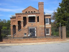
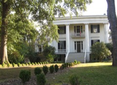
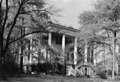
Block
From the record
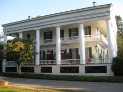
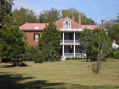
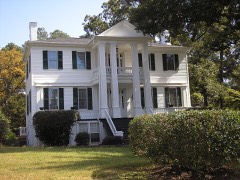
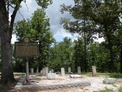
29 National Register listings published here, 2 of them National Historic Landmarks.
Sources: the National Register database, National Park Service
29 topographic sheets and 8 fire insurance atlases across 1 place.
29 National Register listings published here, 2 of them National Historic Landmarks.
Sources: the National Register database, National Park Service
Taken for the Office of War Information and the Farm Security Administration, who photographed the country between 1935 and 1944. Works of United States government photographers, with no known restriction on use. Each opens its catalogue record.
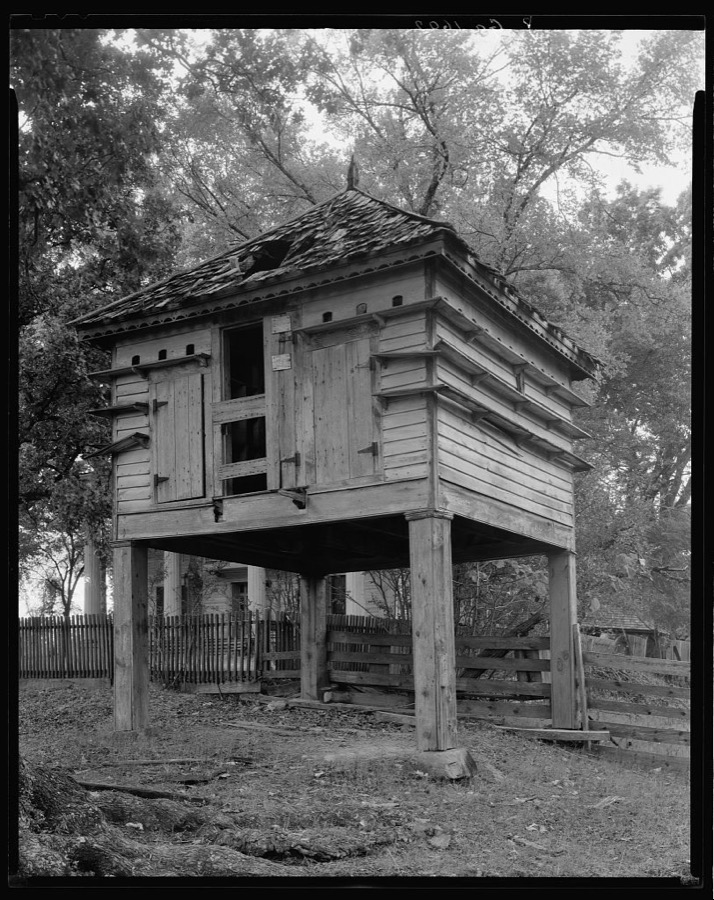
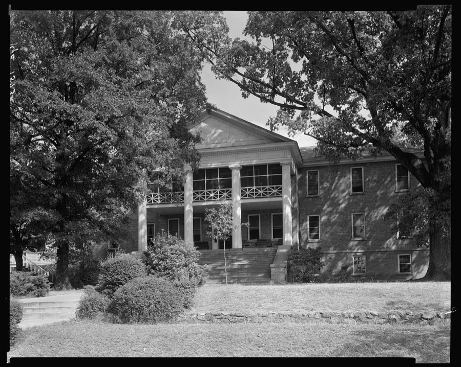

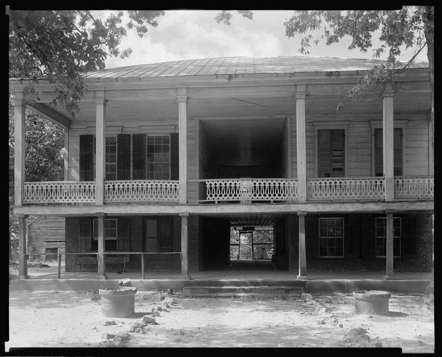

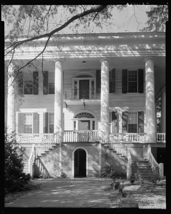

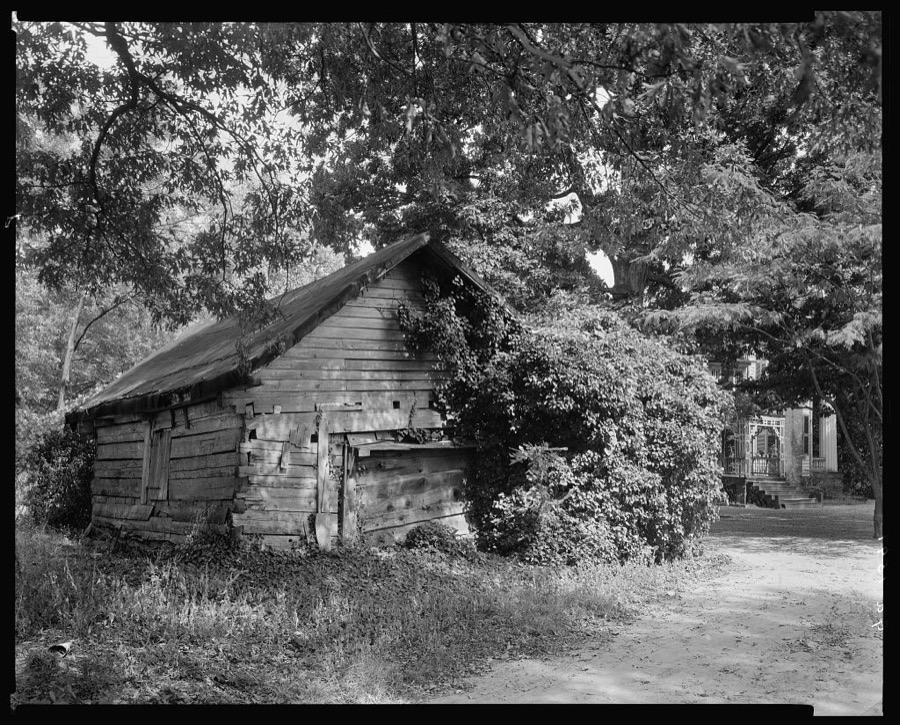
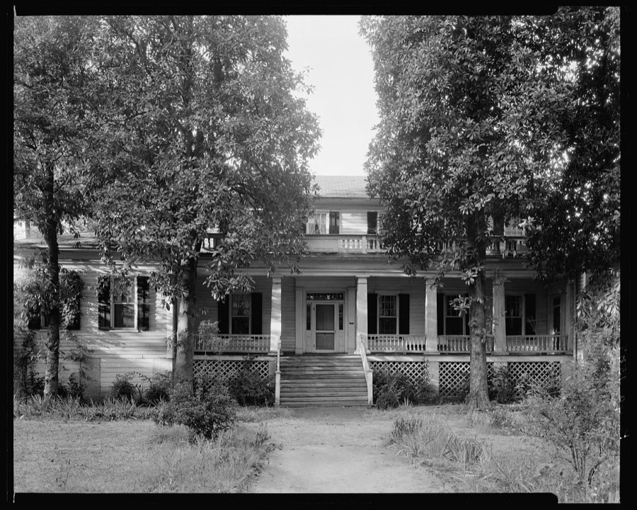
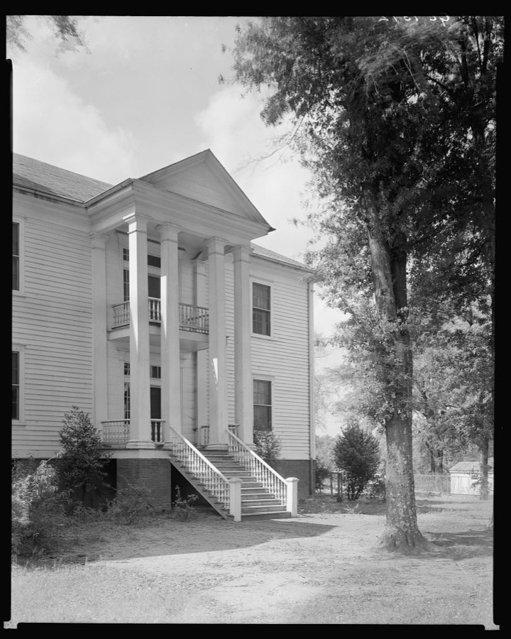
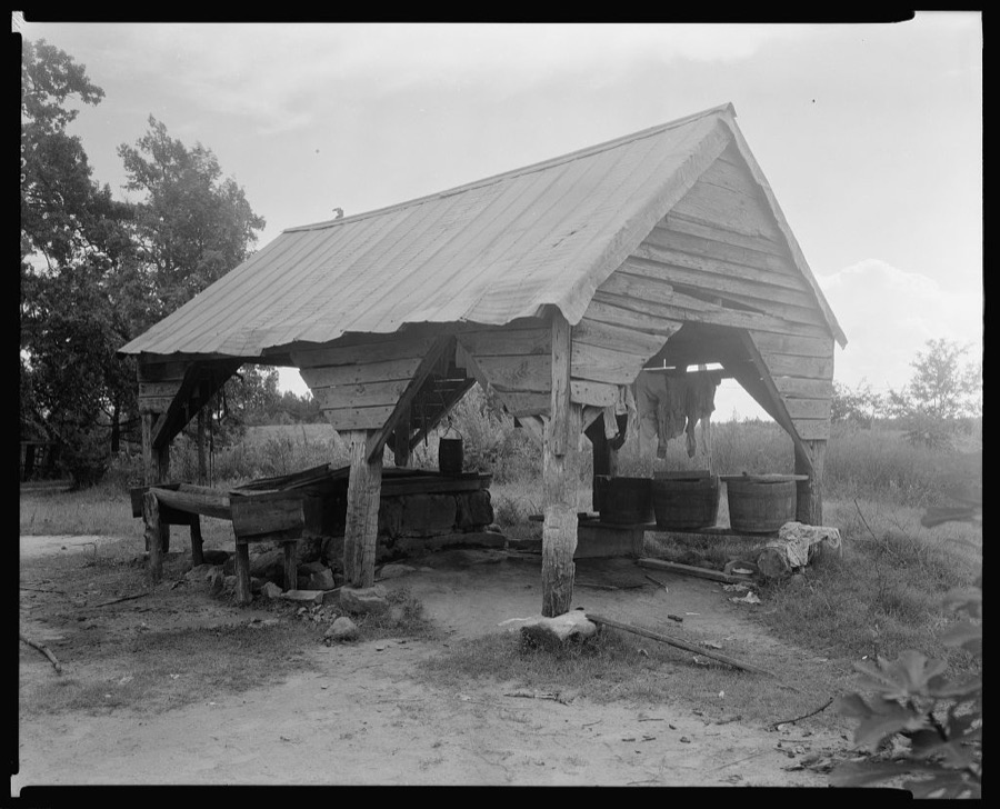
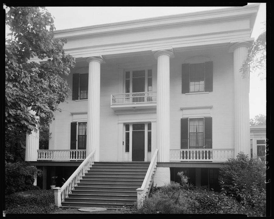
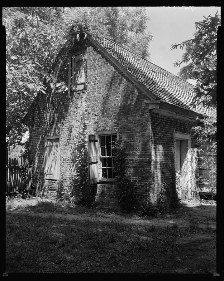
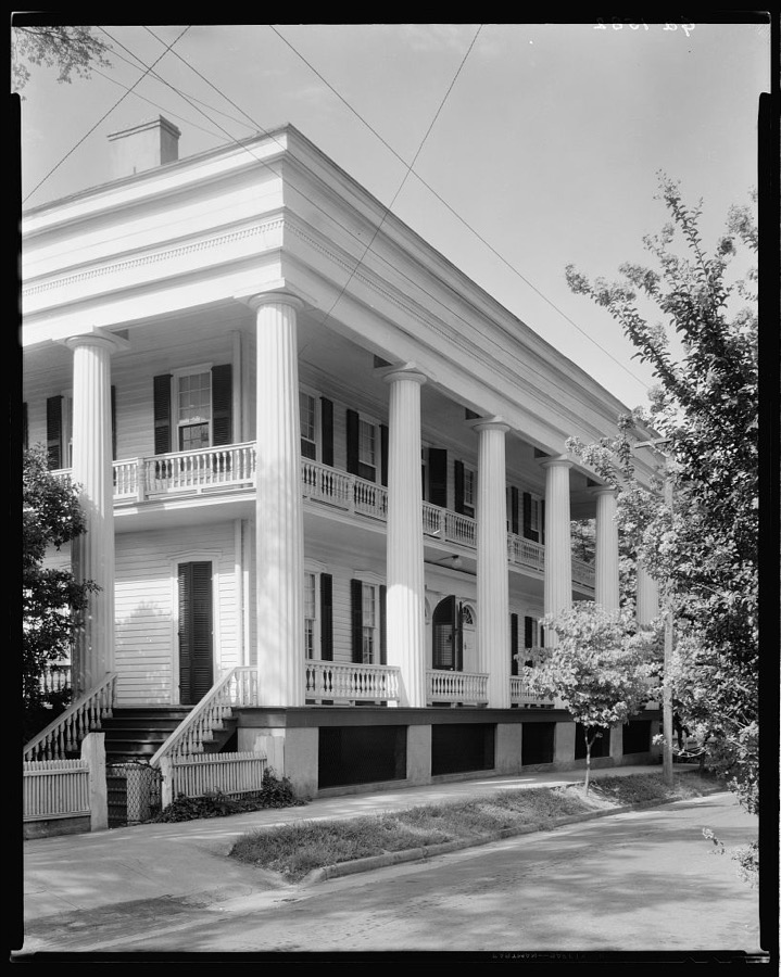
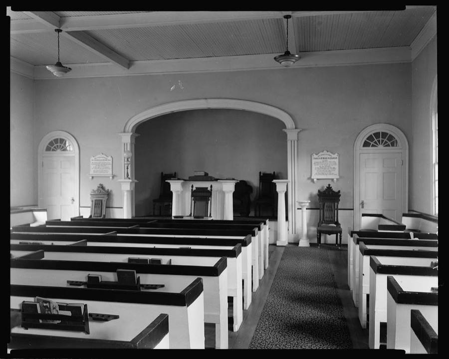
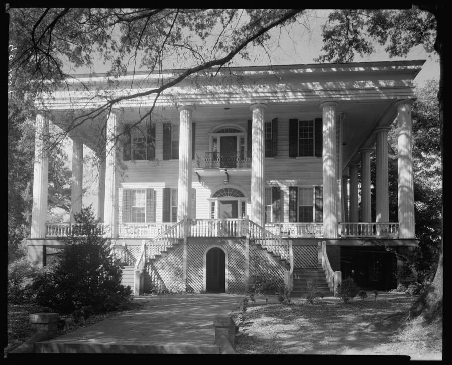
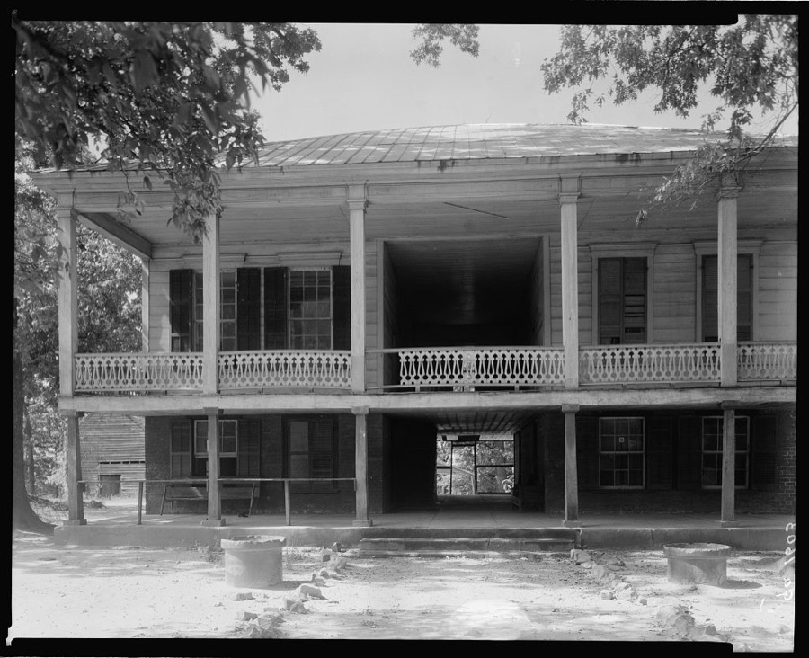
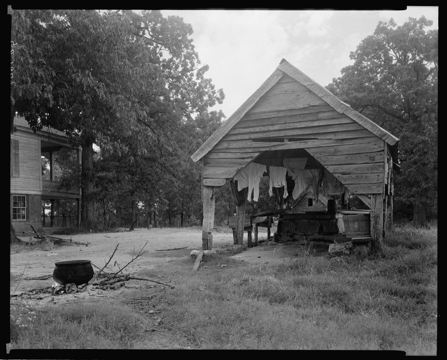
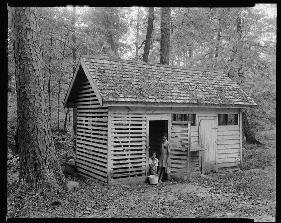
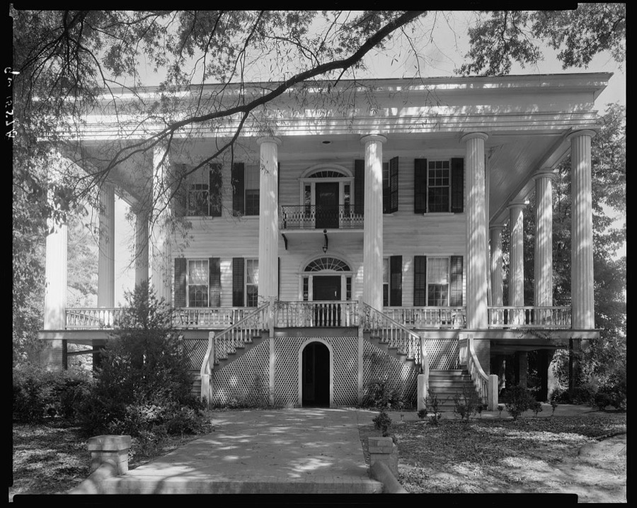
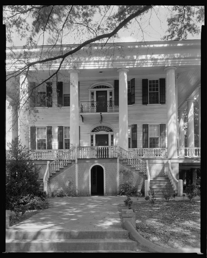
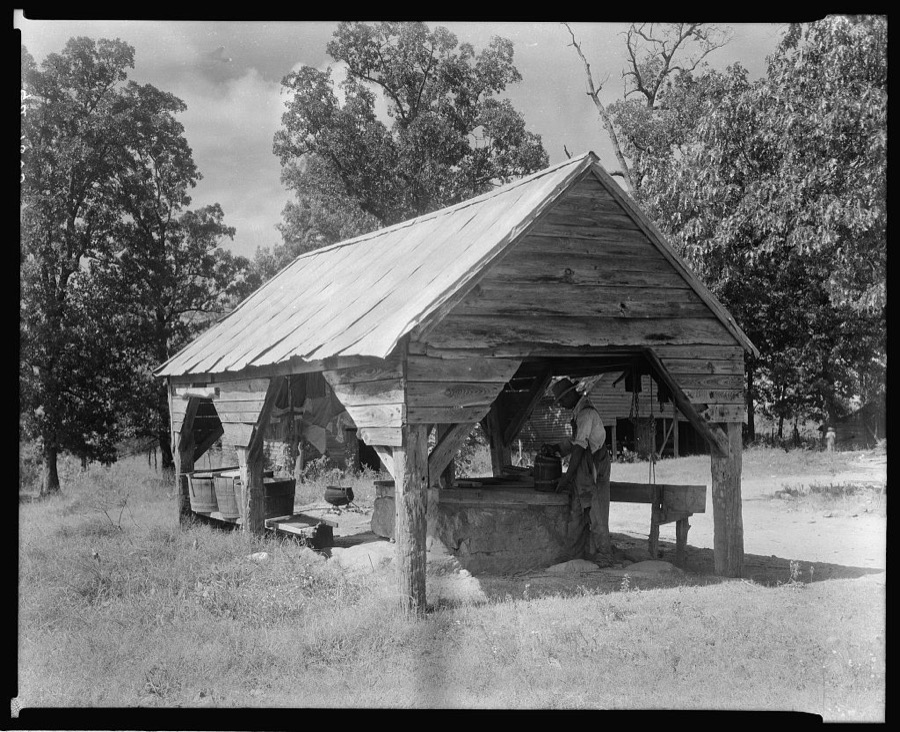
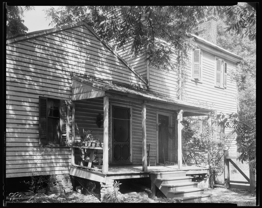
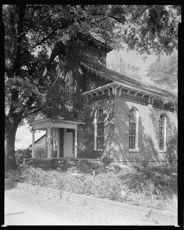
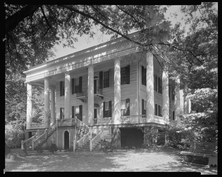
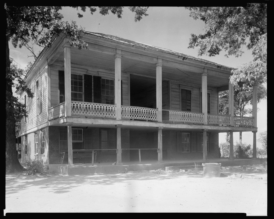
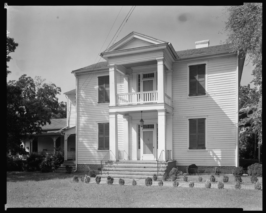
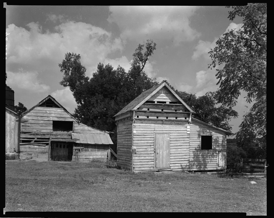
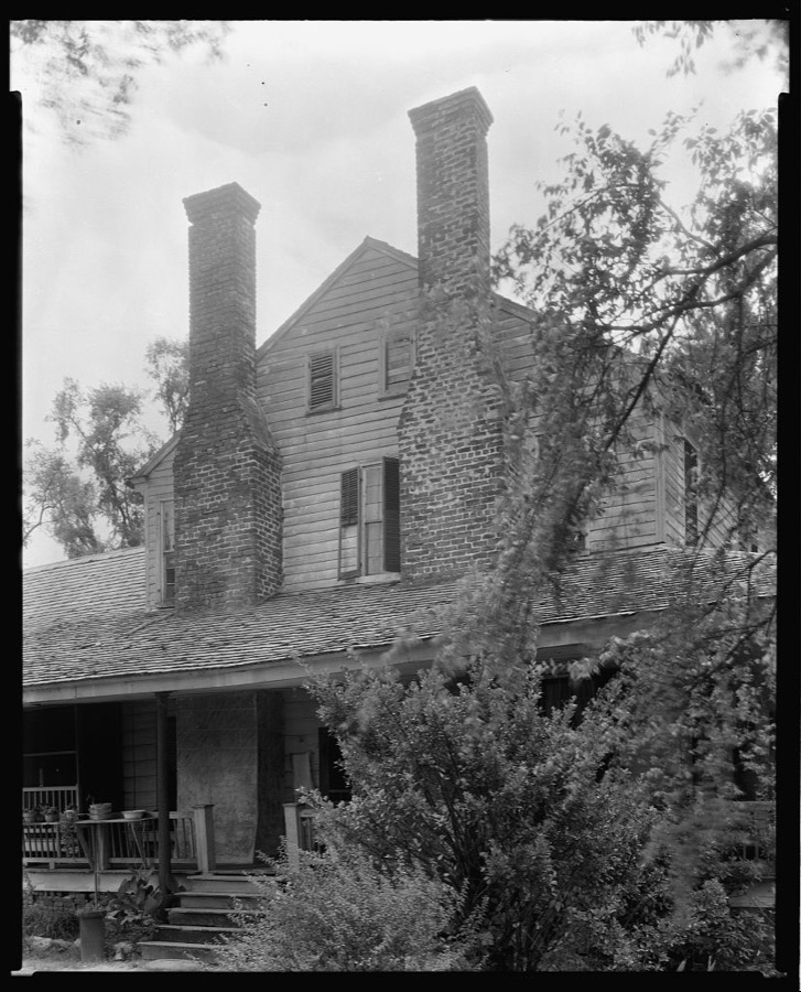
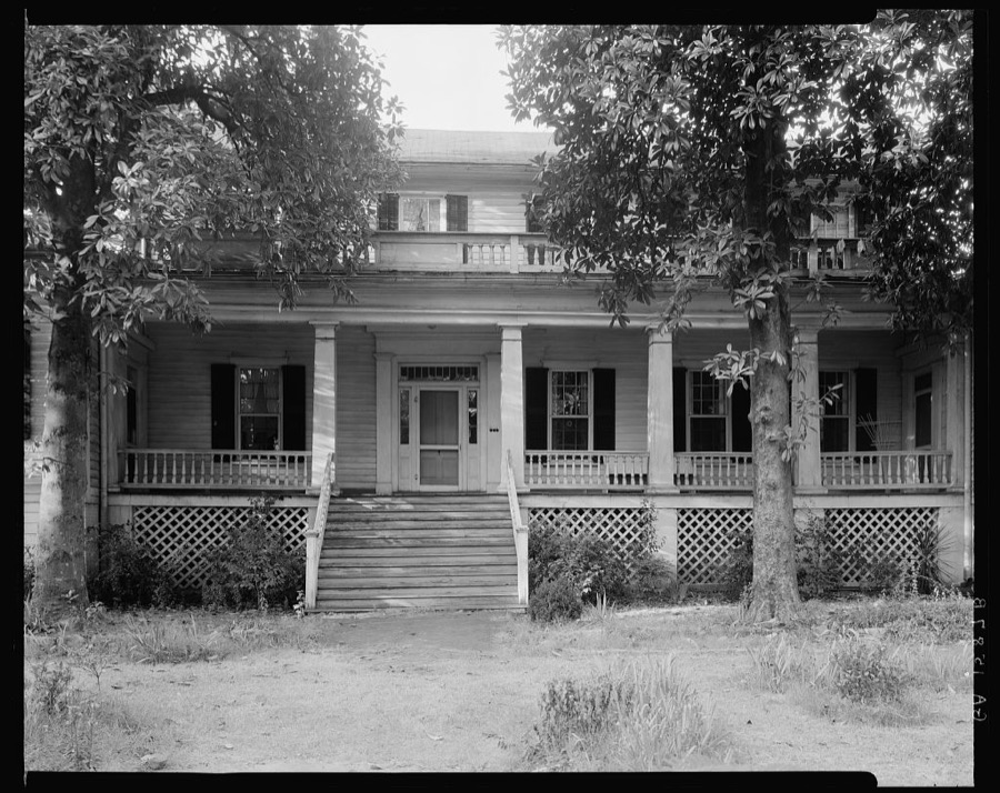
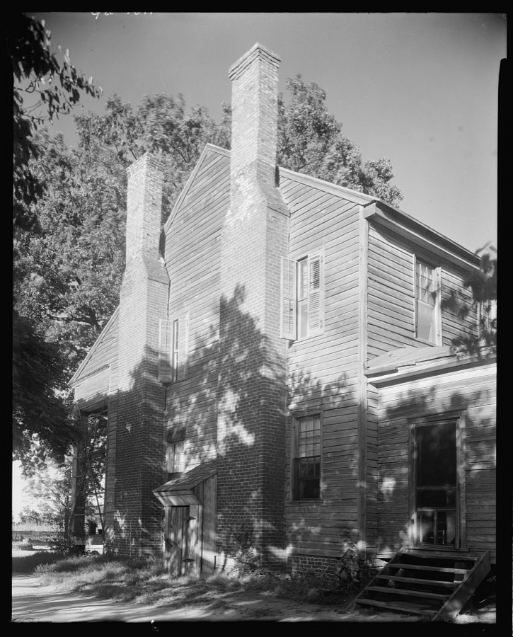
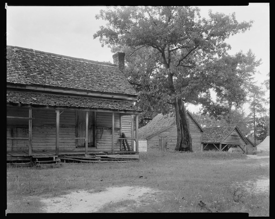
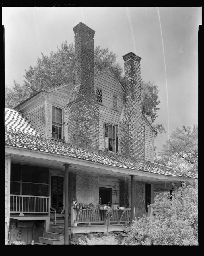
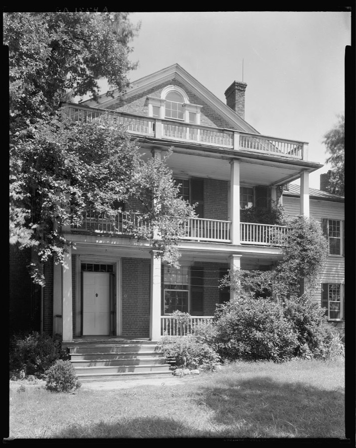
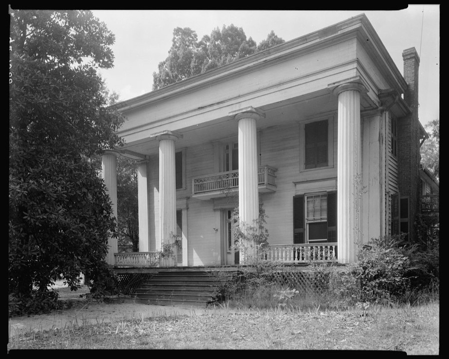
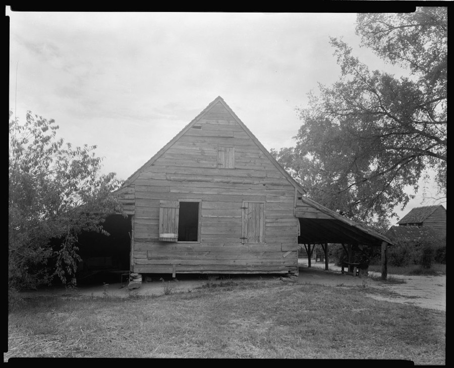
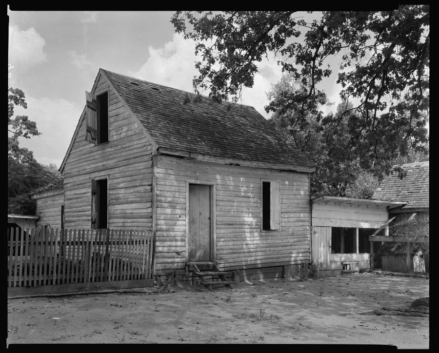
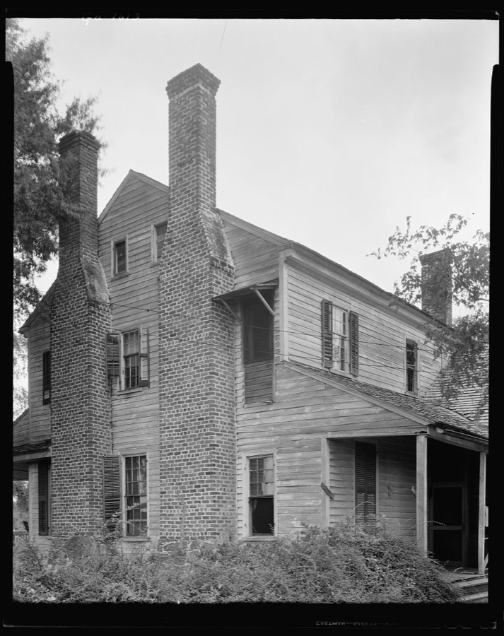
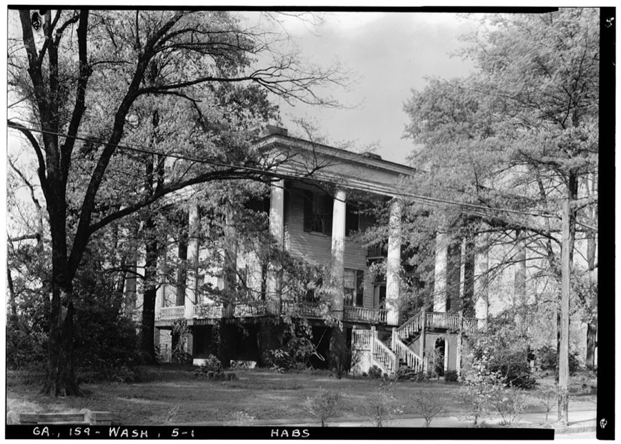
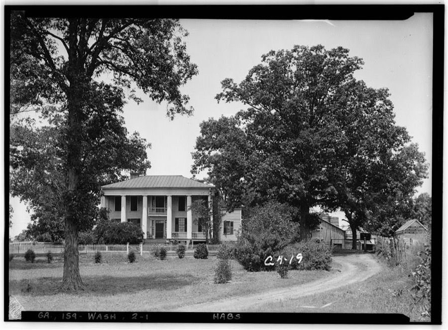
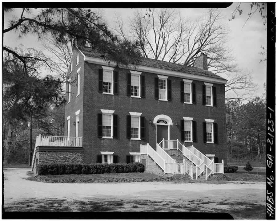

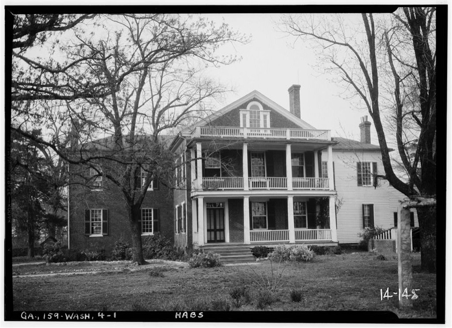
Every property in this county listed on the National Register of Historic Places, with the year it was listed and the federal nomination document.
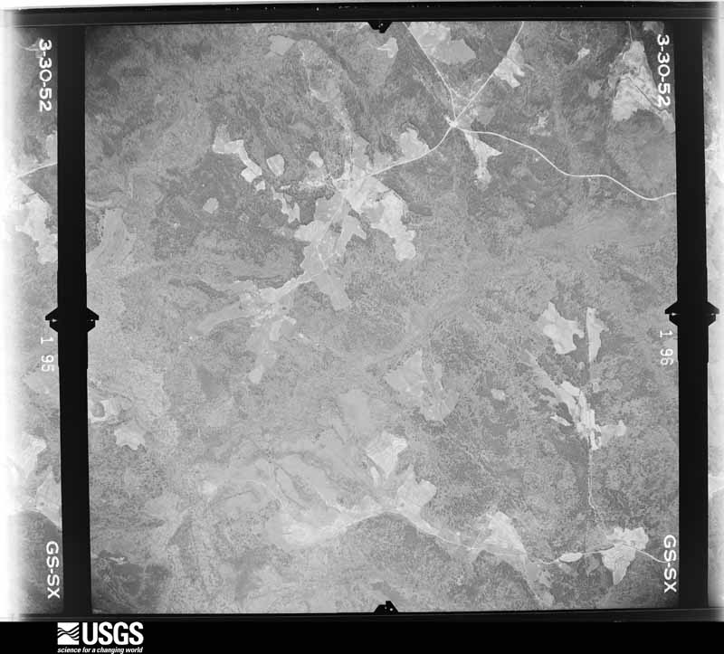
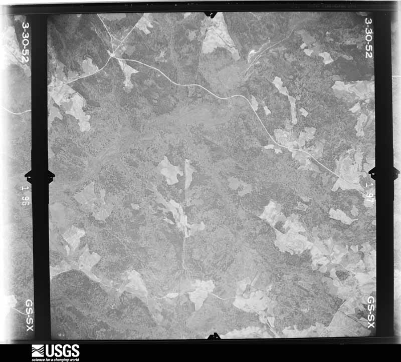
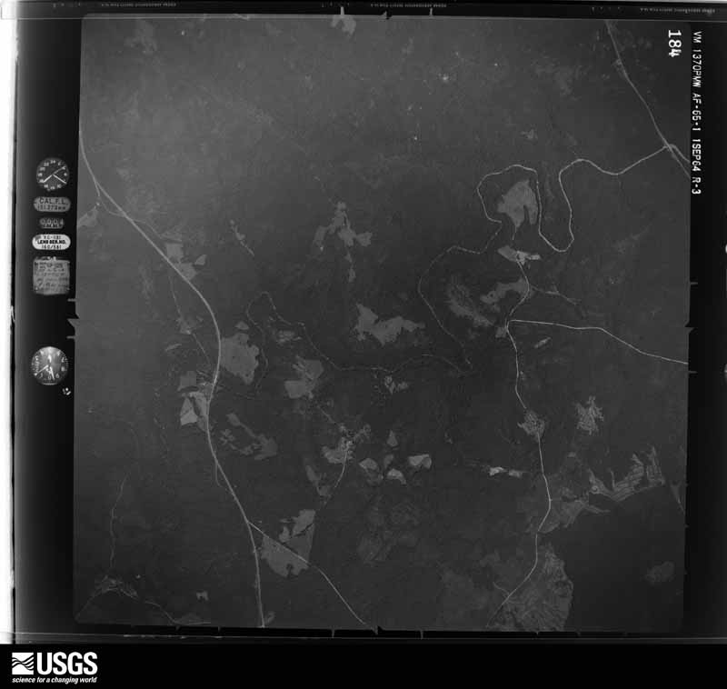
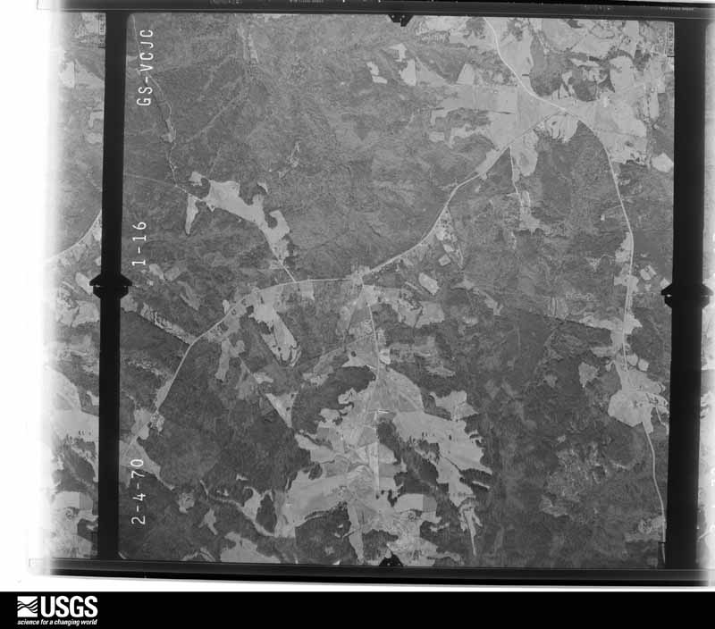
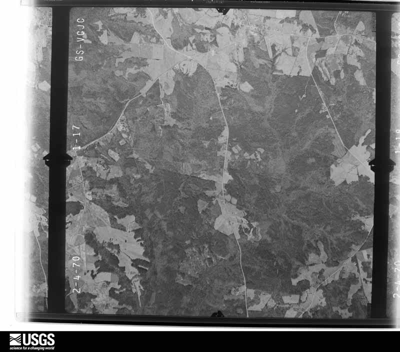
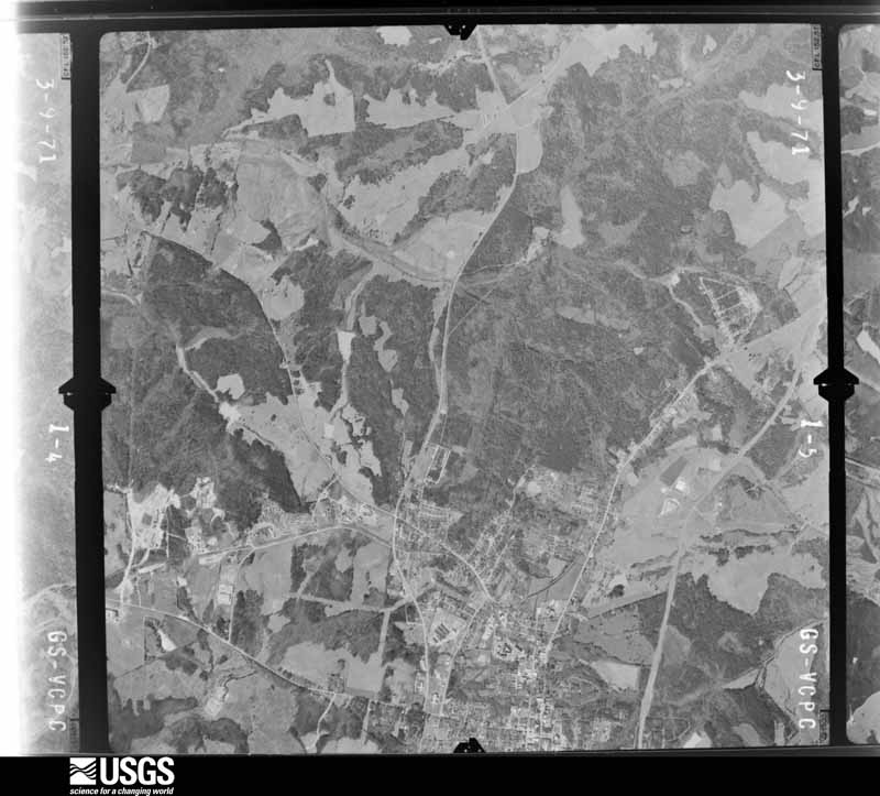
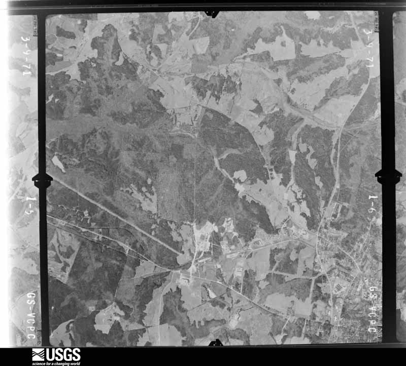
Flown by the U.S. Geological Survey between 1937 and 1989, the Aerial Photo Single Frames collection is the definitive mid-century view of the land: fields, roads and rivers as the camera saw them. The Survey holds 721 frames inside the rectangle that bounds this county; the 24 frames below were taken over the county itself, chosen across the decades of flights (at most four a year from that rectangle), so one flight cannot crowd out the rest. The full set is free to browse and download at EarthExplorer under the dataset Aerial Photo Single Frames.





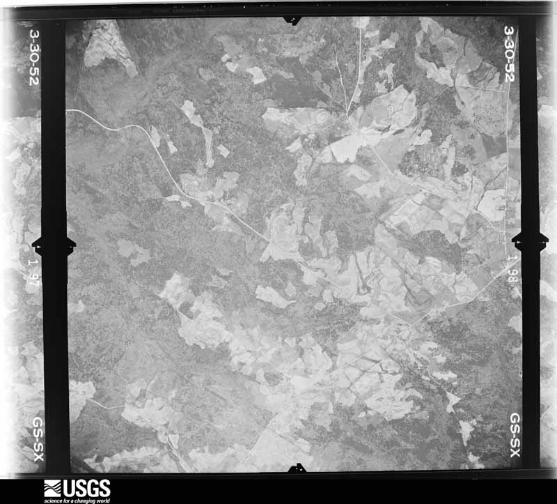
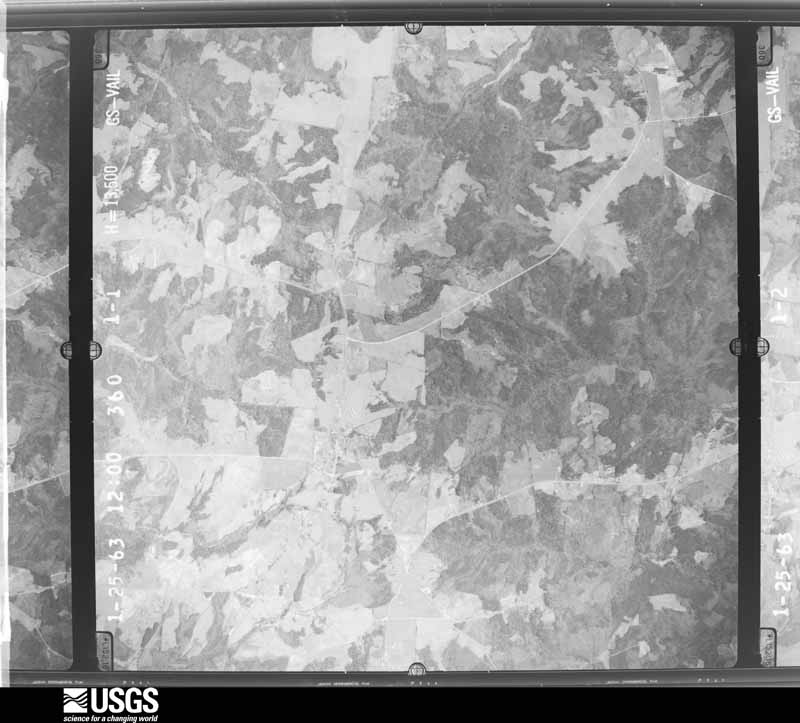

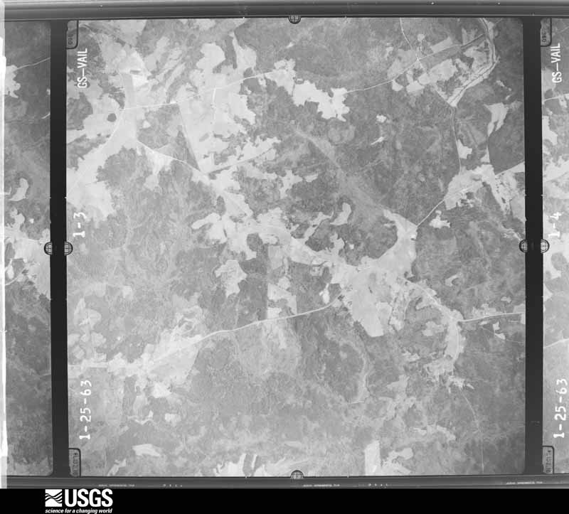
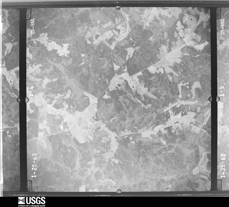







The thermometers that kept this county's weather, and the gages that measured the flow of its streams, as the federal records hold them. The extremes below are measured values from those records, not estimates.
Who lived here in 1950, one enumeration district at a time, as the Census Bureau described each district. Each row opens its official National Archives result, with Population Schedules and ED Maps available there.
Every wildfire the federal occurrence database records inside this county: 613 of them, burning about 2,934 acres. 44 started naturally and 42 were recorded as arson. Each settlement page carries the fires within five miles of it.
| Reported cause | Fires |
|---|---|
| Debris and open burning | 298 |
| Missing data/not specified/undetermined | 102 |
| Equipment and vehicle use | 65 |
| Natural | 44 |
| Arson/incendiarism | 42 |
| Smoking | 24 |
| Recreation and ceremony | 19 |
| Railroad operations and maintenance | 11 |
| Misuse of fire by a minor | 8 |
The five largest, by the area the report gives. One of them was set deliberately.
| Date | Cause | Size | Reported by | Name on the report |
|---|---|---|---|---|
| 25 February 2017 | Debris and open burning | 143 acres | Georgia Forestry Commission | FY2017-WILKES-017 |
| 12 February 2017 | Debris and open burning | 139 acres | Georgia Forestry Commission | FY2017-WILKES-016 |
| 10 March 2009 | Debris and open burning | 124 acres | Georgia Forestry Commission | not named |
| 5 April 2004 | Debris and open burning | 80 acres | Georgia Forestry Commission | not named |
| 22 April 1999 | Recreation and ceremony | 75 acres | Georgia Forestry Commission | not named |
| 31 October 2001 | Debris and open burning | 74 acres | Georgia Forestry Commission | FY2002-WILKES-007 |
| 1 February 2004 | Arson/incendiarism | 69 acres | Georgia Forestry Commission | not named |
| 22 April 1999 | Debris and open burning | 50 acres | Georgia Forestry Commission | not named |
Every settlement page carries the fires within five miles of it - see the settlement index below.
The NOAA Storm Events Database holds 119 reports for this county, causing no deaths, 4 injuries and about $3,459,850 in recorded property damage. Each settlement page carries the reports that name it.
| Kind of event | Reports |
|---|---|
| Thunderstorm Wind | 74 |
| Hail | 28 |
| Tornado | 5 |
| Flood | 4 |
| Flash Flood | 4 |
| Lightning | 3 |
| Heavy Rain | 1 |
The most serious of them, by death, then injury, then recorded damage. The accounts are quoted exactly as the forecast office filed them.
| When | Event | Place named | Harm | What the report says |
|---|---|---|---|---|
| June 1954 | Tornado (F1) | not stated | 2 hurt, $25,000 | no account filed |
| November 1992 | Tornado (F1) | not stated | 1 hurt, $250,000 | no account filed |
| January 2020 | Flash Flood | Tyrone | 1 hurt, $40,000 | Media reported that Rocker Road near Greensboro Highway was washed out by flash flooding. A driver was injured and had to be rescued when her car drove into the floodwaters. Additionally, several other roads were closed in the area due to water over the road or touching the bridge, including: Happy Hollow Road, Norman Road NE, Maxwell Mill Road. Radar estimates indicate that 3 to 5 inches of rain occurred over the area in a short period of time, causing a rapid rise in creeks and streams and overwhelming culvert and storm drain systems. |
| September 2004 | Tornado (F1) | Tignall | $1,500,000 | A damage assessment conducted by the Wilkes County Emergency Management Director indicated that an F1 tornado, briefly at the high end of the F1 scale, touched down just south of Tignall near Georgia Highway 17 and continued north from six to seven miles along or just west of Georgia Highway 17 to just north of Norman. The path width of the tornado was mostly between 100 and 200 yards, but briefly was up to 500 yards wide between Mallorysville and Georgia Highway 17. The tornado was believed to have been on the ground from 70 to 80 percent of the time along its path. Large trees were uprooted on six single-family dwellings in the Tignall area and several other dwellings were damaged in Norman. All together 23 structures sustained damage from the tornado, ranging from very minor to major. Numerous trees and power lines were blown down, twisted, or uprooted along the path, many causing additional damage to farm fences along the way. A large communications tower was also destroyed. Georgia Highway 17 was blocked in two places along the path by downed trees and three county dirt roads were also blocked along the path. At least 1000 residents in the area lost power and phone service during the event. |
| February 2009 | Tornado (EF3) | Tyrone | $300,000 | A damage survey conducted by the National Weather Service Forecast office in Columbia, South Carolina, confirmed that an EF3 tornado had tracked across far southern Wilkes county causing considerable damage along its path. The tornado continued its east-southeastward track into extreme northeastern McDuffie county. The total tornado path length was 18.6 miles. The tornado initially touched down in the Tyrone community in southwest Washington county. Here a cinder block home was completely destroyed with the cinder block debris blown downstream nearly 1/2 mile. Fifteen other homes along the path of the tornado sustained moderate to major damage from the tornado. Nineteen outbuildings and a commercial chicken house was destroyed. In addition, a steeple was blown off a church and a 2-ton truck was moved 60 feet. The maximum path width was approximately 1/2 mile with maximum winds estimated to be 160 mph. |
| May 2005 | Lightning | Washington | $250,000 | The News Reporter of Washington reported that lightning struck the Wilkes County Law Enforcement Center, causing significant damage to computer equipment in the 911 Center and sheriff's office. Electronic circuitry was damaged in electronic locks, security cameras, computers, and fax machines. It was noted that this was the third time since opening that this building has sustained a lightning strike. |
| April 2011 | Thunderstorm Wind | Rayle | $150,000 | The Wilkes County Emergency Management Director reported that more than a dozen trees and several power lines were down across the county. Two homes sustained minor to moderate damage. |
| June 2013 | Thunderstorm Wind | Wash Wilkes Co Arpt | $120,000 | The Wilkes County Emergency Manager reported that trees were blown down across the county, including on Independence, South Butler, Lincolnton Highway, Lexington Highway, Susan Road, Beaverdam Road, Newtown Road, and Alexander Drive. A few trees were down on houses. |
| November 2002 | Thunderstorm Wind | Washington | $115,000 | The Wilkes county Emergency Management Director reported that a vacant home north of Washington was destroyed and another home west of Washington suffered significant damage. A third home in Washington suffered minor damage. Numerous trees and power lines were also down in the area. Georgia Highway 17, Tignall Road, was completely blocked north of Washington. In addition, up to 3500 residents were without power for several hours. |
| July 2003 | Thunderstorm Wind | Washington | $75,000 | The Wilkes county Emergency Management Director reported that a number of large trees were blown down or uprooted, many of which fell on power lines. Other trees were blocking roads. Power outages were widespread in the area. One large uprooted tree fell on a house and caused significant damage to the structure. The Emergency Management Director reported that the damage appeared to be a fairly consistent path from Washington to Metasville and on into Lincoln county. However, the damage was not indicative of a tornadic circulation. |
| July 2016 | Thunderstorm Wind | Washington | $50,000 | The Wilkes County 911 center reported numerous trees blown down in the Washington area. Location include Highway 44, Highway 47 and Oka Street. A tree fell on a house on Lincolnton Road causing significant damage to the home, but no injuries to the occupants. |
| May 1998 | Thunderstorm Wind | Metasville | $50,000 | Newspaper accounts stated that a barn was destroyed and windows blown out of the house on a farmin Metasville. A funnel cloud was reported, but there was no confirmation of a tornado at the farm. |
| June 1994 | Thunderstorm Wind | Tyrone | $50,000 | Several trees were downed by thunderstorm winds onto at least eight homes in Tyrone. Slight to moderate roof and ,structural damage were reported to the homes. |
| April 2017 | Hail | Linesville | $44,000 | Golf ball size hail was reported by a CoCoRaHS observer near Rayle. |
| August 2000 | Lightning | Washington | $35,000 | The Washington News Reporter indicated that a lightning strike to the outside of the Cecil A. Moore Law Enforcement Center caused extensive damage to inside computer equipment and many other electrical systems inside the building. Damage was estimated between $30,000 and $40,000. Lightning also destroyed a large old cedar tree at the Board of Education building. |
| June 2015 | Thunderstorm Wind | Logan | $30,000 | The Wilkes County Emergency Manager reported dozens of trees blown down and damage to two barns in the area around Lincolnton and Metasville Roads. |
| August 2008 | Hail | Rayle | $30,000 | The public observed golf ball-sized hail south of Rayle. |
| August 2008 | Tornado (EF0) | Mallorysville | $30,000 | A damage survey conducted by the National Weather Service in Peachtree City, Georgia and the Wilkes County Emergency Management Director confirmed that an EF0 tornado touched down in northeast Wilkes county about three miles northwest of Tignall near the intersection of Bunch Road and Mallorysville Road. The tornado path length was determined to be around five miles with the tornado lifting at a point approximately three miles northeast of Norman, or near Henry Hill Road. A swath of trees were downed all along the entire track of the tornado. An anchored mobile home along Georgia Highway 17 at Boyd Road was blown six feet of its foundation. Another home along Georgia Highway 17 lost several shingles from its roof. |
| February 2005 | Hail | Rayle | $25,000 | The Wilkes County Sherrif's Department reported half-dollar-sized hail in the Sardis Road area. Some vehicle damage was reported in the area. |
| May 1998 | Thunderstorm Wind | Washington | $25,000 | Thunderstorm winds ripped a canopy from the front of a downtown business. Other damage was noted at shopping center where utility buildings on display were destroyed. |
| June 1998 | Thunderstorm Wind | Countywide | $25,000 | Newspaper accounts stated that severe thunderstorm winds knocked down trees across Wilkes county, damaging a few homes, and causing power outages. |
| June 2001 | Flood | Countywide | $16,000 | The Wilkes County Emergency Manager reported that high water caused minor damage to a couple of roads and culverts and washed out a few gravel roads. |
| February 2005 | Heavy Rain | Washington | $15,000 | The News Reporter of Washington reported that heavy rain pooled on the roof of the Wilkes County Department of Family and Children's Services building. A significant leak developed as a result causing damage to ceiling tiles, carpet, and other equipment. Several offices were flooded. |
| August 2020 | Thunderstorm Wind | Wash Wilkes Co Arpt | $10,000 | The Wilkes County Emergency Manager reported several trees blown down across the eastern portion of the county in a swath around 8 miles wide from the north side of Washington to near the Fishing Creek WMA. |
| July 2018 | Thunderstorm Wind | Logan | $10,000 | The Wilkes County Emergency Manager reported multiple trees and power lines blown down along Lundburg Road and Branham Road south of Washington. One tree fell onto and destroyed a well house at a home on Branham Road. |
| March 2017 | Thunderstorm Wind | Rayle | $10,000 | The Wilkes County Emergency Manager reported numerous trees blown down across the county from near Rayle to Holiday Park. |
| May 2017 | Thunderstorm Wind | Armstrong | $10,000 | The Wilkes County Emergency Manager reported trees blown down from south of Tignall to Washington. A tree fell on a car on Tignall Road striking a car, no injuries were reported. In Washington trees were blown down on Pope Street, Orchard Street, Alexander Avenue and Barnett Street. |
| April 2017 | Thunderstorm Wind | Tyrone | $10,000 | The Wilkes County Emergency Manager reported around a dozen trees blown down at a residence on Rocker Road. |
| April 2017 | Thunderstorm Wind | Tyrone | $10,000 | The Wilkes County Emergency Manager reported several trees blown down across the county. |
| November 2002 | Thunderstorm Wind | Rayle | $10,000 | A TV news reporter indicated that the roof of a home was partially damaged by thunderstorms winds in Rayle and that approximately 25 trees were down in Tignall. |
| May 2019 | Thunderstorm Wind | Washington | $8,000 | Dispatch reported several trees down near intersection of Braxton and Lundberg Road. |
| August 2019 | Thunderstorm Wind | New Town | $8,000 | At least two areas where multiple trees were blown down on either side of the town of Tignall. Specifica locations include, near the intersection of Newton road and Jane Hill Road southwest of Tignall, and around Flatrock Road and Annie Blackmon Road. |
| July 2003 | Thunderstorm Wind | Countywide | $7,500 | The Wilkes county Emergency Management Director reported that a number of trees had been blown down across the county. Widespread power outages were observed as well. |
| June 2018 | Thunderstorm Wind | Prather | $7,000 | The Wilkes County Emergency Manager reported several trees and power lines blown down across the county from the Rayle and Tignall areas across Washington to near Aonia. |
| August 2015 | Thunderstorm Wind | Bessie | $6,000 | The Wilkes County 911 Center reported several trees blown down from Tignall to Danburg, including on Pecan Grove Road, Independence Street and Euel Saggus Road. |
| March 2010 | Hail | Tyrone | $6,000 | The Wilkes County Emergency Management Director relayed reports of golf ball-sized hail from the Rayle area. Radar data suggests that quarter to golf ball-sized hail likely fell from just west-northwest of Tyrone along the Taliaferro county line, where golf ball-sized hail was also observed, to the northeast corner of the county, just north of Delhi. |
| May 2020 | Thunderstorm Wind | Prather | $5,000 | The Wilkes County Emergency Manager reported a small shed and a trampoline anchored with concrete footings damaged by winds north of Rayle. |
| July 2017 | Thunderstorm Wind | Daniel | $5,000 | The Wilkes County 911 center reported trees blown down from Bartram Trace Road near Highway 44 to Sharon Road south of Washington and Hill Street in Washington. |
| May 2014 | Thunderstorm Wind | Washington | $5,000 | The Wilkes County Emergency Manager reported that approximately 17-18 trees were downed just off Tignall Road, and another blocked both lanes of traffic on Highway 17 North. |
| June 2010 | Thunderstorm Wind | Delhi | $5,000 | The Wilkes County Emergency Management Director reported that four trees were blown down and part of a tin roof on a barn was lifted up by strong thunderstorm winds. |
| December 2009 | Thunderstorm Wind | Rayle | $5,000 | The Wilkes County Emergency Management Director reported that a barn was blown across a field on Clark-Gresham Road, just northwest of Rayle near the Oglethorpe county line. |
| September 2009 | Flash Flood | Rayle | $5,000 | The USGS stream gage on Kettle Creek just south of Washington reached its flood stage of 14 feet at 1145 pm EDT. The creek remained above flood stage for several hours. Monetary damage was confined to minor debris removal from areas adjacent to the creek. |
| May 2003 | Thunderstorm Wind | Washington | $5,000 | The Wilkes county newspaper reported that a number of trees were toppled during a severe thunderstorm. Damage was minimal as the trees missed homes and other structures. A large and very old oak tree fell at the Hopkins Funeral Home, but no damage to the structure was noted. |
| February 1993 | Thunderstorm Wind | Washington | $5,000 | Numerous large trees were blown down. |
| March 1997 | Thunderstorm Wind | Rayle | $5,000 | no account filed |
| May 1996 | Thunderstorm Wind | Tyrone | $5,000 | no account filed |
| June 2018 | Thunderstorm Wind | Prather | $4,000 | The Wilkes County Emergency Manager reported multiple trees blown down north of Rayle. |
| July 2020 | Thunderstorm Wind | Bessie | $3,000 | The Wilkes County Emergency Manager reported 3 trees blown down along Blackmon Farm Road near Pecan Grove Road. |
| May 2014 | Thunderstorm Wind | Tignall | $3,000 | The Wilkes County 911 Center reported that numerous trees and power lines were blown down through the eastern portion of the county. |
| April 2013 | Thunderstorm Wind | Washington | $3,000 | The Wilkes County Emergency Manager relayed a report of a tree and several power lines down on Troke Drive off Highway 47. |
| March 2008 | Thunderstorm Wind | Rayle | $3,000 | The Wilkes County Emergency Management Director reported that many trees were blown down, scattered about the county. |
| August 2007 | Thunderstorm Wind | Washington | $3,000 | The Wilkes County Emergency Management Director reported that four trees and a power line were blown down by a thunderstorm wind gust in the Prather area. A small metal storage building was also destroyed. |
| May 2003 | Thunderstorm Wind | Tignall | $3,000 | The Wilkes county Emergency Management Director reported that some trees and power lines were blown down. |
| June 2003 | Thunderstorm Wind | Tignall | $3,000 | The Wilkes county Emergency Management Director reported that several trees and some power lines were blown down along Georgia Highway 17 North between Tignall and Washington. |
| May 2017 | Thunderstorm Wind | Washington | $2,000 | The Wilkes County 911 center reported trees blown down at Alexander Street and Baltimore Road and along Baker Street in Washington. |
| May 2002 | Thunderstorm Wind | Washington | $2,000 | The public reported that several trees were blown down. |
| August 2000 | Thunderstorm Wind | Rayle | $2,000 | The Washington News Reporter indicated that skirting was blown off several mobile homes at a mobile home sales lot. |
| May 1998 | Hail | Tignall | $2,000 | A couple of public reports indicated golf ball size hail fell. |
| August 1996 | Thunderstorm Wind | Danburg | $1,500 | no account filed |
| April 2025 | Thunderstorm Wind | Brickhouse | $1,000 | One tree down near the intersection of branham road and industrial park road. |
The Survey's mineral resources record lists 14 workings inside this county. 4 still produce and 10 are closed or unrecorded. Each settlement page carries the workings within five miles of it.
| Commodity | Workings |
|---|---|
| Gold | 7 |
| Manganese | 2 |
| Granite | 2 |
| Kyanite | 1 |
| Feldspar | 1 |
| Silver, Copper, Gold, Lead, Zinc | 1 |
The least common of them first, because a county's hundredth gravel pit says nothing its first ten did not.
| Where | Site | Commodity | Status | Recorded |
|---|---|---|---|---|
| Chambers Mine | Silver, Copper, Gold, Lead, Zinc | Past Producer | 1892, 1895 | |
| Delhi Mine | Feldspar | Producer | ||
| Little River Mill C-E Minerals | Kyanite | Producer | ||
| Morgans Mn Mine | Manganese | Past Producer | Residual | |
| Pink Pearl Quarry | Granite | Producer | ||
| Ross Property | Manganese | Prospect | 1945 | |
| Silver Pearl Quarry | Granite | Producer | ||
| G.W. Booker Property | Gold | Past Producer | Vein | |
| Hilly Mine | Gold | Past Producer | Vein | |
| Kendall Mine | Gold | Past Producer | Vein | |
| Latimer Mine (Fairy Ridge) | Gold | Past Producer | Vein | |
| Lon Edmonds Mine | Gold | Past Producer | ||
| Stone Ridge Mine (Orr) | Gold | Past Producer | Vein | |
| Stoney Ridge Gold Mine | Gold | Past Producer |
Named settlements recorded in the Geographic Names Information System, each with the topographic sheets covering it. Villages, hamlets and abandoned places alike. Each is shown with the nearest named watercourse or landform and the survey quadrangle it falls on. The 1 place that was also surveyed for fire insurance comes first, with the number of atlases and photographs held for them.
Washington census division · 30673 · Washington East quadrangle
13 sheets, 1906 to 1988
Fire insurance: 8 atlases
Washington census division · 30673 · On Jocko Creek · Aonia quadrangle
13 sheets, 1906 to 1988
Washington census division · 30673 · Washington East quadrangle
13 sheets, 1906 to 1988
Washington census division · 30673 · Celeste quadrangle
12 sheets, 1906 to 1988
No longer a settlement
Tignall census division · 30673 · On Williamson Branch · Celeste quadrangle
12 sheets, 1906 to 1988
No longer a settlement
Rayle census division · 30668 · On Dry Fork Creek · Jacksons Crossroads quadrangle
12 sheets, 1906 to 1988
No longer a settlement
Washington census division · 30673 · On Armstrong Branch · Tignall quadrangle
13 sheets, 1906 to 1988
Tignall census division · 30668 · Broad quadrangle
13 sheets, 1906 to 1988
No longer a settlement
Washington census division · 30673 · On Harden Creek · Washington West quadrangle
13 sheets, 1906 to 1988
Tignall census division · 30668 · On Wolf Branch · Tignall quadrangle
13 sheets, 1906 to 1988
Rayle census division · 30668 · Jacksons Crossroads quadrangle
12 sheets, 1906 to 1988
Rayle census division · 30673 · Washington West quadrangle
13 sheets, 1906 to 1988
No longer a settlement
Washington census division · 30673 · Washington West quadrangle
13 sheets, 1906 to 1988
Rayle census division · 30660 · On Hood Branch · Celeste quadrangle
12 sheets, 1906 to 1988
Washington census division · 30673 · On Beaverdam Creek · Washington West quadrangle
13 sheets, 1906 to 1988
Washington census division · 30673 · On Williamson Branch · Celeste quadrangle
12 sheets, 1906 to 1988
Washington census division · 30673 · On Porters Branch · Washington East quadrangle
13 sheets, 1906 to 1988
Tignall census division · On Benson Branch · Tignall quadrangle
13 sheets, 1906 to 1988
No longer a settlement
Washington census division · 30673 · Washington East quadrangle
13 sheets, 1906 to 1988
Rayle census division · 30660 · On Hood Branch · Rayle quadrangle
12 sheets, 1906 to 1988
No longer a settlement
Tignall census division · 30668 · On Pole Branch · Tignall quadrangle
13 sheets, 1906 to 1988
Washington census division · 30673 · Washington West quadrangle
13 sheets, 1906 to 1988
The vanished settlements of Wilkes County: the places named above that are no longer on the map.
13 topographic sheets and 8 fire insurance atlases, 1885 to 1940
The complete index, with nothing left out. Each of these is a separate record with its own page: a federal survey report, or the case file that argued a property on to the National Register. Both are public domain and reproduced word for word.
The vanished settlements of Wilkes County, the places these records name that are no longer on the map.