 Block
Washington, Georgia
13 topographic sheets cover this place, the earliest surveyed in 1906 and the latest in 1988. It stands in the Washington census division. It lies in ZIP code area 30673. The Survey maps it on the Washington East quadrangle. 3,754 people lived here at the 2020 count. It stands 607 feet above sea level.
Research this city
On record in Washington
Buildings and businesses the archive holds for this place. Each opens its own page, with the source record it came from.
On the National Register 12 of 24 shown
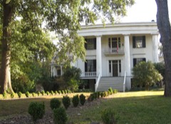 Robert Toombs HouseNational Historic Landmark · listed 1972
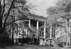 Tupper-Barnett HouseNational Historic Landmark · listed 1972
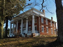 Arnold-Callaway Plantationlisted 1972
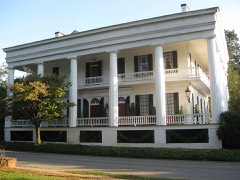 Campbell-Jordan Houselisted 1971
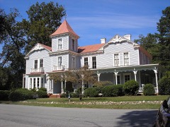 Cedars, Thelisted 1972
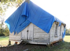 Cherry Grove Baptist Church Schoolhouselisted 2020
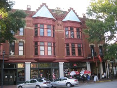 Fitzpatrick Hotellisted 1982
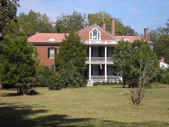 Gilbert-Alexander Houselisted 1972
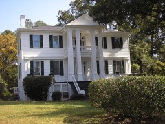 Holly Courtlisted 1972
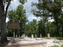 Kettle Creek Battlefieldlisted 1975
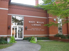 Mary Willis Librarylisted 1972
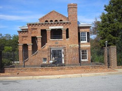 Old Jaillisted 1974
Every listing in Wilkes County
Surveyed buildings and structures 7 records
- Bennett House, Robert Toombs Avenue, Washingtonfederal building survey, 1 photograph
- Gilbert-Alexander-Wright House, 312 North Alexander Avenue, Washingtonfederal building survey, 5 photographs
- James C. Daniel House, Bartram Trace Road, Washingtonfederal building survey, 2 photographs
- New Haywood, 201 West Robert Toombs Avenue, Washingtonfederal building survey, 1 photograph
- Presbyterian Church, Washingtonfederal building survey, 4 photographs
- Robert Toombs House, Washingtonfederal building survey, 2 photographs
- Wingfield-Cade-Saunders House, 120 Tignall Road, Washingtonfederal building survey, 4 photographs
Population over time
2 figuresWashington fell from 4,134 to 3,754 between 2010 and 2020. These are the recorded population figures Wikidata holds for this place, reached through the Geographic Names Information System number this page is keyed on rather than by name, so they belong to this place and not to another of the same name. Most are census counts, but not all are: an early figure may be a founding or settlement estimate, and an estimate published within five years of a census is left out. The change column is computed, and is left blank where more than 20 years separate a figure from the one before it, because a gap that long is not a change between two counts.
| Year | People | Change |
|---|---|---|
| 2010 | 4,134 | |
| 2020 | 3,754 | -380 (-9%) |
Topographic sheets covering this place
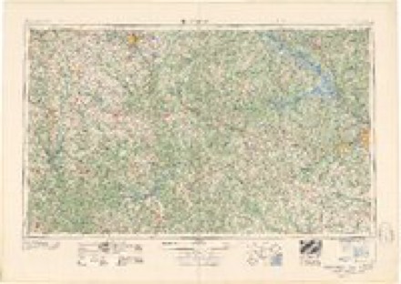
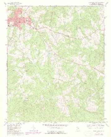
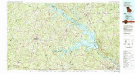
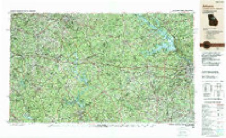
8 surveys from 13 printed sheetsMatched by testing this settlement's coordinate against the published boundary of every sheet in the United States Geological Survey's historical collection. Each opens the scanned sheet at the Survey.
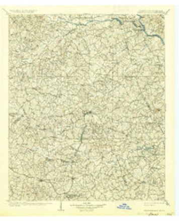
- 1906 USGS Crawfordville quadrangle1:125000, 3 printings
- 1953 USGS Athens quadrangle1:250000, 3 printings
- 1958 USGS Athens quadrangle1:250000
- 1959 USGS Athens quadrangle1:250000
- 1963 USGS Athens quadrangle1:250000
- 1972 USGS Washington East quadrangle1:24000, 2 printings
- 1980 USGS Clark Hill Lake quadrangle1:100000
- 1988 USGS Athens quadrangle1:250000
Photographs
8 of 38 photographs shown, 1939 to 1944Taken for the Office of War Information and the Farm Security Administration, who photographed the country between 1935 and 1944. Works of United States government photographers, with no known restriction on use. Each opens its catalogue record.
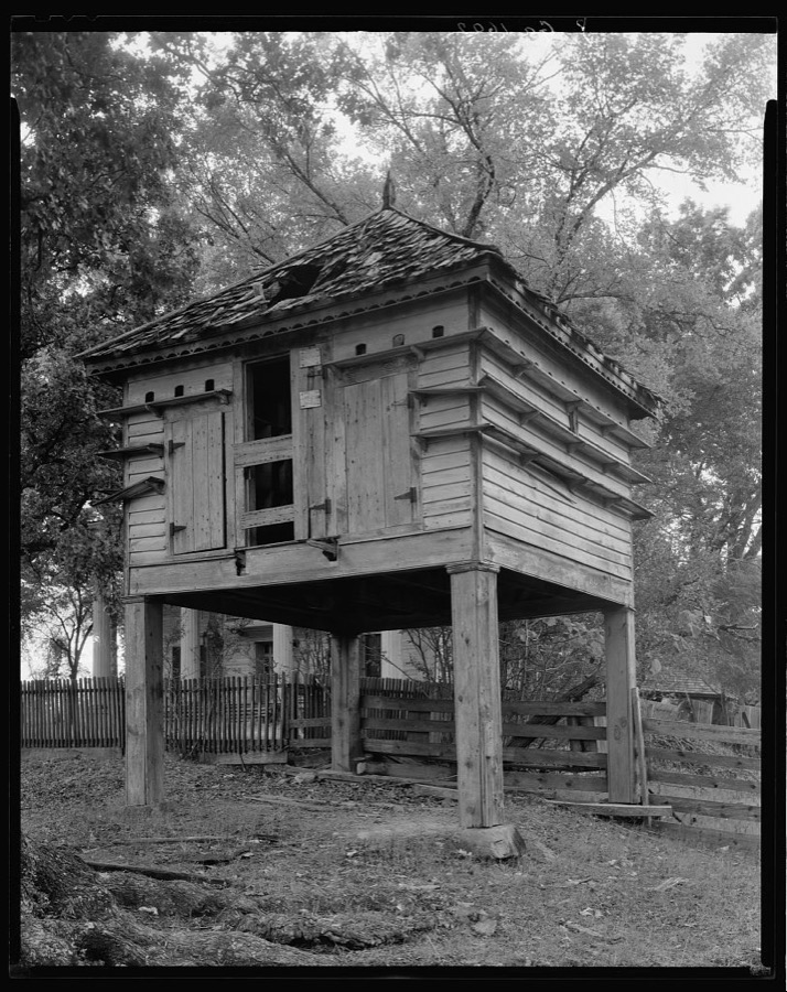
Johnston, Frances Benjamin, 1939. Library of Congress
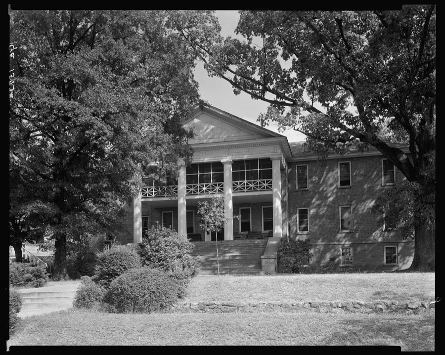
Johnston, Frances Benjamin, 1939. Library of Congress
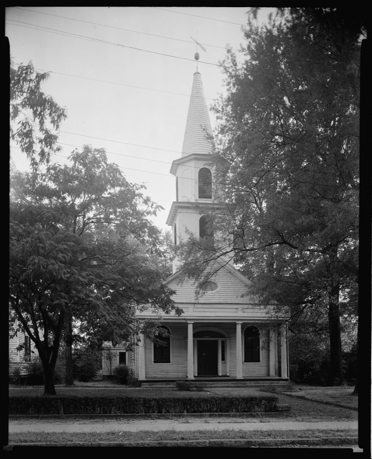
Johnston, Frances Benjamin, 1939. Library of Congress
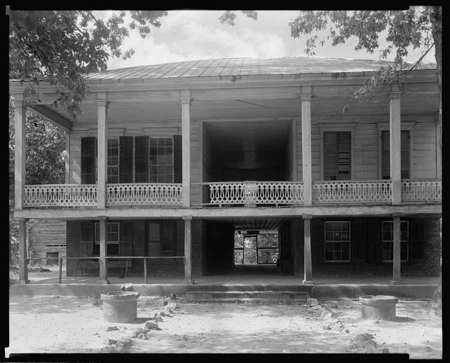
Johnston, Frances Benjamin, 1939. Library of Congress
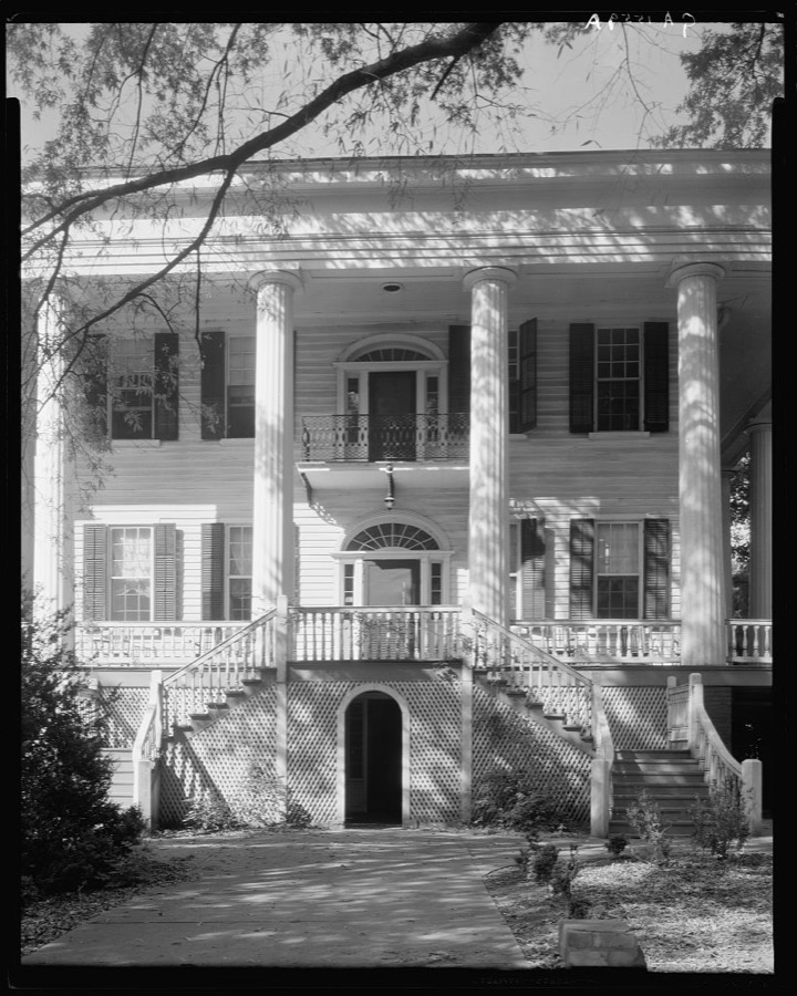
Johnston, Frances Benjamin, 1944. Library of Congress
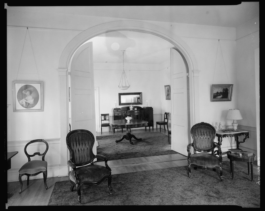
Johnston, Frances Benjamin, 1939. Library of Congress
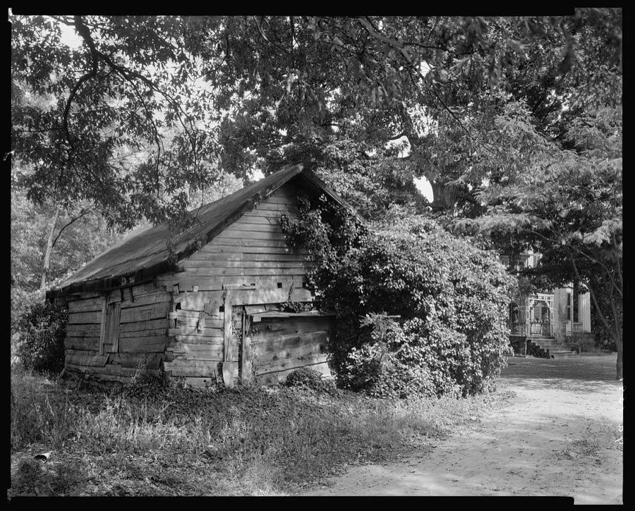
Johnston, Frances Benjamin, 1939. Library of Congress
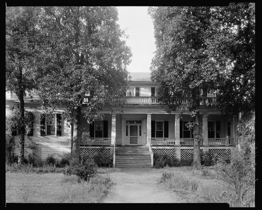
Johnston, Frances Benjamin, 1939. Library of Congress
Every photograph of Wilkes County
Fires near this place
126 since 1992Regional context, not property-specific evidence. The federal wildfire occurrence database lists 126 fires within 5 miles of Washington between 1992 and 2019, burning about 546 acres in total. 8 started naturally. 7 were recorded as arson. Distance is straight-line from the map coordinates, so a fire counted here may appear on a neighbouring settlement's page as well.
| Reported cause | Fires |
|---|---|
| Debris and open burning | 58 |
| Missing data/not specified/undetermined | 17 |
| Equipment and vehicle use | 11 |
| Railroad operations and maintenance | 11 |
| Natural | 8 |
| Arson/incendiarism | 7 |
| Smoking | 6 |
| Misuse of fire by a minor | 4 |
| Recreation and ceremony | 4 |
The most recent of them, most recent first, with the day each was reported and the service that recorded it.
| Date | Cause | Size | Reported by | Name on the report |
|---|---|---|---|---|
| 9 September 2017 | Smoking | under an acre | Georgia Forestry Commission | FY2018-WILKES-003 |
| 7 September 2016 | Debris and open burning | 4.0 acres | Georgia Forestry Commission | FY2017-WILKES-001 |
| 5 September 2019 | Debris and open burning | under an acre | Georgia Forestry Commission | FY2020WILKES004 |
| 29 September 2016 | Railroad operations and maintenance | 7.8 acres | Georgia Forestry Commission | FY2017-WILKES-003 |
| 27 September 2017 | Debris and open burning | under an acre | Georgia Forestry Commission | FY2018-WILKES-004 |
| 23 September 2010 | Missing data/not specified/undetermined | under an acre | Georgia Forestry Commission | FY2011-WILKES-011 |
| 23 September 1993 | Equipment and vehicle use | under an acre | Georgia Forestry Commission | not named |
| 23 September 1993 | Equipment and vehicle use | 5.7 acres | Georgia Forestry Commission | not named |
Settlements close enough to share some of these fires:
Mines and quarries near this place
2 within 5 milesRegional context, not property-specific evidence. The federal mineral resources record lists 2 workings within 5 miles of Washington: 2 past producers. None of them still produces. What was taken out: Gold. Distance is straight-line from the map coordinates, so a quarry counted here may appear on a neighbouring settlement's page as well.
| Where | Site | Commodity | Status | Recorded |
|---|---|---|---|---|
| Stone Ridge Mine (Orr) | Gold | Past Producer | Vein | |
| Stoney Ridge Gold Mine | Gold | Past Producer |
Storms near this place
33 since 1993Regional context, not property-specific evidence. The National Weather Service names Washington in 33 storm reports between 1993 and 2024: 19 thunderstorm wind, 10 hail, 3 lightning, 1 heavy rain. No death or injury is recorded in these reports. Each account below is quoted exactly as the forecast office filed it, from the NOAA Storm Events Database, and each date opens the federal record of that event.
| When | Event | Place named | Harm | What the report says |
|---|---|---|---|---|
| May 2005 | Lightning | Washington | $250,000 | The News Reporter of Washington reported that lightning struck the Wilkes County Law Enforcement Center, causing significant damage to computer equipment in the 911 Center and sheriff's office. Electronic circuitry was damaged in electronic locks, security cameras, computers, and fax machines. It was noted that this was the third time since opening that this building has sustained a lightning strike. |
| November 2002 | Thunderstorm Wind | Washington | $115,000 | The Wilkes county Emergency Management Director reported that a vacant home north of Washington was destroyed and another home west of Washington suffered significant damage. A third home in Washington suffered minor damage. Numerous trees and power lines were also down in the area. Georgia Highway 17, Tignall Road, was completely blocked north of Washington. In addition, up to 3500 residents were without power for several hours. |
| July 2003 | Thunderstorm Wind | Washington | $75,000 | The Wilkes county Emergency Management Director reported that a number of large trees were blown down or uprooted, many of which fell on power lines. Other trees were blocking roads. Power outages were widespread in the area. One large uprooted tree fell on a house and caused significant damage to the structure. The Emergency Management Director reported that the damage appeared to be a fairly consistent path from Washington to Metasville and on into Lincoln county. However, the damage was not indicative of a tornadic circulation. |
| July 2016 | Thunderstorm Wind | Washington | $50,000 | The Wilkes County 911 center reported numerous trees blown down in the Washington area. Location include Highway 44, Highway 47 and Oka Street. A tree fell on a house on Lincolnton Road causing significant damage to the home, but no injuries to the occupants. |
| August 2000 | Lightning | Washington | $35,000 | The Washington News Reporter indicated that a lightning strike to the outside of the Cecil A. Moore Law Enforcement Center caused extensive damage to inside computer equipment and many other electrical systems inside the building. Damage was estimated between $30,000 and $40,000. Lightning also destroyed a large old cedar tree at the Board of Education building. |
| May 1998 | Thunderstorm Wind | Washington | $25,000 | Thunderstorm winds ripped a canopy from the front of a downtown business. Other damage was noted at shopping center where utility buildings on display were destroyed. |
| February 2005 | Heavy Rain | Washington | $15,000 | The News Reporter of Washington reported that heavy rain pooled on the roof of the Wilkes County Department of Family and Children's Services building. A significant leak developed as a result causing damage to ceiling tiles, carpet, and other equipment. Several offices were flooded. |
| May 2019 | Thunderstorm Wind | Washington | $8,000 | Dispatch reported several trees down near intersection of Braxton and Lundberg Road. |
| May 2014 | Thunderstorm Wind | Washington | $5,000 | The Wilkes County Emergency Manager reported that approximately 17-18 trees were downed just off Tignall Road, and another blocked both lanes of traffic on Highway 17 North. |
| May 2003 | Thunderstorm Wind | Washington | $5,000 | The Wilkes county newspaper reported that a number of trees were toppled during a severe thunderstorm. Damage was minimal as the trees missed homes and other structures. A large and very old oak tree fell at the Hopkins Funeral Home, but no damage to the structure was noted. |
| February 1993 | Thunderstorm Wind | Washington | $5,000 | Numerous large trees were blown down. |
| April 2013 | Thunderstorm Wind | Washington | $3,000 | The Wilkes County Emergency Manager relayed a report of a tree and several power lines down on Troke Drive off Highway 47. |
| August 2007 | Thunderstorm Wind | Washington | $3,000 | The Wilkes County Emergency Management Director reported that four trees and a power line were blown down by a thunderstorm wind gust in the Prather area. A small metal storage building was also destroyed. |
| May 2017 | Thunderstorm Wind | Washington | $2,000 | The Wilkes County 911 center reported trees blown down at Alexander Street and Baltimore Road and along Baker Street in Washington. |
| May 2002 | Thunderstorm Wind | Washington | $2,000 | The public reported that several trees were blown down. |
| January 2020 | Thunderstorm Wind | Washington | $1,000 | The Wilkes County Emergency Manager reported a tree blown down on Lovelace Way in Washington. |
| March 2008 | Thunderstorm Wind | Washington | $1,000 | The Wilkes County Emergency Management Director reported that a couple of power lines were down. |
| June 2020 | Thunderstorm Wind | Washington | $500 | The public reported several large tree limbs blown down along Elizabeth Drive. |
| July 2002 | Thunderstorm Wind | Washington | $500 | The Wilkes county 911 center reported that three trees were blown down. |
| January 2005 | Thunderstorm Wind | Washington | $250 | The Wilkes County Emergency Management Director reported that a small, 10 by 16 foot, aluminum outbuilding was flipped over by a thunderstorm wind gust. |
| January 2024 | Thunderstorm Wind | Washington | - | A portion of the gas station overhang in the 800 block of ga-10 was removed by the wind. |
| May 2019 | Hail | Washington | - | Report of quarter to golf ball sized hail in Washington. |
| February 2009 | Hail | Washington | - | The public observed half-dollar-sized hail in the Washington area, especially along U.S. Highway 378 about two miles southeast of Washington. |
| March 2008 | Hail | Washington | - | The Wilkes County Emergency Management Director reported nickel-sized hail in the Washington area. Radar supported that this large or larger hail continued on an east-southeastward tack into southeast Wilkes county, east of the Aonia community. |
| June 2007 | Thunderstorm Wind | Washington | - | The public reported that a 14-foot garage door on a shop building was blown in by strong thunderstorm winds. Pea-sized hail was also observed in the area. |
| June 2006 | Hail | Washington | - | The Wilkes County Emergency Management Director reported penny-sized hail. |
| February 2003 | Hail | Washington | - | The Wilkes county 911 center reported dime size hail. |
| May 2003 | Hail | Washington | - | The public reported nickel to quarter-sized hail. |
| May 2002 | Lightning | Washington | - | The Washington News Reporter reported that lightning had struck two trees outside a house on Tignall Road in Washington. The lightning traveled through the phone lines and blew out a protective device on a gas meter. This caused a gas leak. There was no fire or other damage reported. |
| July 2001 | Hail | Washington | - | The Wilkes county 911 center reported dime size hail from Washington to Aonia. |
| May 1999 | Hail | Washington | - | Wilkes county 911 reported quarter size hail. |
| May 1996 | Hail | Washington | - | no account filed |
| March 1996 | Hail | Washington | - | no account filed |
Nearest settlements
The eight closest, with where each one stands in the county. Distances are straight-line, computed from the Geographic Names Information System coordinates.
| Map | Place | Distance | Sheets |
|---|---|---|---|
| Ravenwood Park | 1.2 miles | 13 | |
| Washington Heights | 1.4 miles | 13 | |
| Logan | 1.6 miles | 13 | |
| Lincoln Heights | 1.9 miles | 13 | |
| Anne Heights | 2.1 miles | 13 | |
| Jackson Heights | 2.4 miles | 12 | |
| Porters | 3.9 miles | 13 | |
| Cohentown | 4.1 miles | 13 |
Elsewhere
Matched on this settlement's Geographic Names Information System number rather than its name, so it cannot be a different place of the same name in another state.
| Wikipedia article on Washington | An encyclopaedic summary. Its text is share-alike, so it is linked here rather than copied. |
| Wikidata item Q166186 | The structured record the population and elevation above come from. Public domain (CC0). |
Provenance
This settlement is recorded in the Geographic Names Information System as feature 356620. The sheet list is computed by point-in-boundary test against the United States Geological Survey's historical topographic inventory. Both are works of the United States government and carry no copyright under 17 U.S.C. 105.
Wildfire. Short, Karen C. 2022. Spatial wildfire occurrence data for the United States, 1992-2020 [FPA_FOD_20221014]. 6th Edition. Fort Collins, CO: Forest Service Research Data Archive. https://doi.org/10.2737/RDS-2013-0009.6 Collected with United States Government funding and usable without additional permissions or fees.
Mines and quarries. USGS Mineral Resources Data System (MRDS) https://mrdata.usgs.gov/mrds/ A work of the United States government, no copyright under 17 U.S.C. 105.
Storms. NOAA National Centers for Environmental Information, Storm Events Database https://www.ncei.noaa.gov/stormevents/ A work of the United States government, no copyright under 17 U.S.C. 105. Narratives are quoted verbatim from the National Weather Service report and are not edited or summarised.