 Block
Armuchee, Georgia
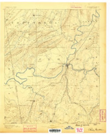
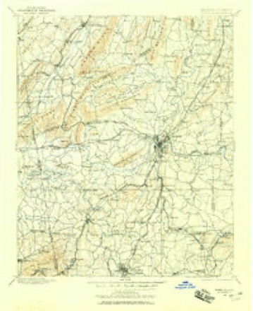
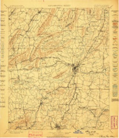
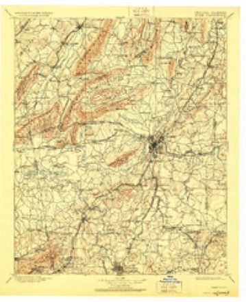
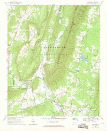
16 topographic sheets cover this place, the earliest surveyed in 1886 and the latest in 1981. It stands in the Armuchee census division. It lies in ZIP code area 30105. It lies near Little Texas Valley. The Survey maps it on the Armuchee quadrangle. It stands 623 feet above sea level.
Topographic sheets covering this place
10 surveys from 16 printed sheetsMatched by testing this settlement's coordinate against the published boundary of every sheet in the United States Geological Survey's historical collection. Each opens the scanned sheet at the Survey.
- 1886 USGS Rome quadrangle1:125000
- 1898 USGS Rome quadrangle1:125000
- 1899 USGS Rome quadrangle1:125000
- 1904 USGS Rome quadrangle1:125000, 4 printings
- 1955 USGS Rome quadrangle1:250000
- 1958 USGS Rome quadrangle1:250000, 3 printings
- 1961 USGS Rome quadrangle1:250000
- 1963 USGS Rome quadrangle1:250000
- 1968 USGS Armuchee quadrangle1:24000
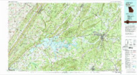
- 1981 USGS Rome quadrangle1:100000, 2 printings




Fires near this place
214 since 1992Regional context, not property-specific evidence. The federal wildfire occurrence database lists 214 fires within 5 miles of Armuchee between 1992 and 2019, burning about 1,075 acres in total. 9 started naturally. 43 were recorded as arson. Distance is straight-line from the map coordinates, so a fire counted here may appear on a neighbouring settlement's page as well.
| Reported cause | Fires |
|---|---|
| Debris and open burning | 124 |
| Arson/incendiarism | 43 |
| Equipment and vehicle use | 22 |
| Natural | 9 |
| Recreation and ceremony | 7 |
| Misuse of fire by a minor | 5 |
| Missing data/not specified/undetermined | 3 |
| Smoking | 1 |
The most recent of them, most recent first, with the day each was reported and the service that recorded it.
| Date | Cause | Size | Reported by | Name on the report |
|---|---|---|---|---|
| 6 September 1999 | Arson/incendiarism | 2.7 acres | Georgia Forestry Commission | not named |
| 5 September 1993 | Debris and open burning | under an acre | Georgia Forestry Commission | not named |
| 29 September 1995 | Debris and open burning | 1.4 acres | Georgia Forestry Commission | not named |
| 28 September 1993 | Debris and open burning | under an acre | Georgia Forestry Commission | not named |
| 23 September 1997 | Debris and open burning | under an acre | Georgia Forestry Commission | not named |
| 20 September 2018 | Debris and open burning | under an acre | Georgia Forestry Commission | FY2019FLOYD004 |
| 18 September 1993 | Debris and open burning | 3.6 acres | Georgia Forestry Commission | not named |
| 17 September 2003 | Debris and open burning | under an acre | Georgia Forestry Commission | not named |
Settlements close enough to share some of these fires:
Storms near this place
44 since 1995Regional context, not property-specific evidence. The National Weather Service names Armuchee in 44 storm reports between 1995 and 2023: 21 hail, 20 thunderstorm wind, 1 lightning, 1 heavy rain. No death or injury is recorded in these reports. Each account below is quoted exactly as the forecast office filed it, from the NOAA Storm Events Database, and each date opens the federal record of that event.
| When | Event | Place named | Harm | What the report says |
|---|---|---|---|---|
| July 2012 | Hail | Armuchee | $496,000 | Numerous reports of quarter to golf ball sized hail were received from amateur radio operators and the public. |
| February 2005 | Hail | Armuchee | $450,000 | A volunteer student for the National Weather Service reported golf ball-sized hail. |
| February 2009 | Hail | Armuchee | $300,000 | Several reports of large hail, ranging in size from quarters to golf balls were received from the public across northern Floyd county. |
| April 2009 | Hail | Armuchee | $300,000 | Many reports of large hail, ranging in size from golf balls to baseballs were received from the public across northern Floyd county, including the northern side of Rome and Shannon, as a supercell thunderstorm tracked from west of Armuchee to Pinson. At least one report of shattered windshields was received from the public in the Armuchee area. |
| July 2008 | Thunderstorm Wind | Armuchee | $50,000 | The Floyd County Emergency Management Director reported that one tree was down on a house and another tree was down on a vehicle. Two people were trapped inside the vehicle, but no injuries were reported. The Rome News Tribune reported that at least eight trees were down across the county. In addition to the vehicle incident noted above, the porch of a home on Forsyth Street in Rome was damaged by a downed tree. A power line was also brought down by this tree. |
| August 2004 | Thunderstorm Wind | Armuchee | $30,000 | The Rome News-Tribune reported that thunderstorm winds blew the roof off a building at the Richard B. Russell Regional Airport, tangling it in power lines. In addition, four trees were blown down onto power lines. Up to 1000 people were without electricity during this incident. |
| May 2002 | Thunderstorm Wind | Armuchee | $30,000 | The Floyd county 911 center reported that trees were down at the intersection of Georgia Highway 156 and Haywood Valley Road. The Rome News Tribune reported that extensive damage occurred to Camp Sydney Dew, a Boy Scout Retreat Camp. Debris from trees and other camping structures were scattered throughout the camp. It was described as "looking like a war zone". |
| August 2006 | Thunderstorm Wind | Armuchee | $25,000 | The Floyd County Emergency Management Director reported that strong winds from repeated thunderstorms across the northern part of Floyd county over a one hour period caused damage to trees, a storage building, and one home. At least five trees were down in the northern part of the county, north of Rome. A storage building was heavily damaged as it was blown into a house in Rome and another home sustained significant damage when a large oak tree fell through the roof of the structure. Two nearby vehicles were also damaged. In addition, at least two power lines were also down in the area. |
| March 2011 | Flash Flood | Armuchee | $20,000 | The Floyd County Emergency Management Director observed flash flooding in Floyd county. Eighteen roads across the county, mostly in the Rome area, had to be closed from flooding caused by nearby streams, creeks, and drainage ditches. Water was at least one foot deep in some areas. In addition, a flag football field was flooded near the Floyd Hospital. Damage was confined to considerable debris removal. |
| June 2011 | Thunderstorm Wind | Armuchee | $15,000 | The Floyd County Emergency Management Director reported that at least half-a-dozen trees and four power lines were down from Armuchee to Rome, Lindale, and Silver Creek. The public reported that part of a tin roof was blown off an outbuilding just southwest of Rome. Trees were down on Avenue D in Rome and Pine Ridge Drive near Silver Creek. Power lines were down on Drexel Drive, west of Rome, as well as Rockmart Road and Pine Ridge Drive in Rome. |
| July 2011 | Thunderstorm Wind | Armuchee | $10,000 | The Floyd County Emergency Management Director reported that at least a dozen trees were blown down by strong thunderstorm winds across the northern half of the county. Trees were down in Armuchee on McGrady Road, Wayside Road in Shannon, near the Rome Airport, Parris Drive, and at Horseleg Creek Road just southwest of Rome. Tree debris was observed in the roadway at Shorter Avenue and a business sign was blown into the roadway at Huffaker and Shorter Avenue in Rome. The ASOS at the Rome Airport (RMG), about five miles north of the city of Rome, recorded a wind gust of 50 mph. |
| December 2009 | Heavy Rain | Armuchee | $10,000 | The Floyd County Emergency Management Director reported that heavy rain during the morning hours caused several roads, especially in and around Rome, to become temporarily flooded and closed. A home near Armuchee Creek in northern Floyd county suffered water damage when water rose nearly two feet deep in the crawl space causing damage to the heating system and well water pump. A trailer home on Shorter Road, located within a flood prone area, also sustained water damage. |
| March 2008 | Thunderstorm Wind | Armuchee | $10,000 | The Floyd County Emergency Management Director reported that a tree was blown down onto a home on Bix Texas Valley Road when a large area of rain and embedded thunderstorms moved across the region. |
| February 2005 | Thunderstorm Wind | Armuchee | $10,000 | The Rome News Tribune reported that thunderstorms winds downed a number of trees across the northern part of the county. Many of the trees fell across power lines causing power outages for around 4300 residents. On Warren Road, a tree fell across a power line and ruptured a natural gas line. |
| February 2009 | Thunderstorm Wind | Armuchee | $7,000 | The Floyd County Emergency Management Director reported that six to ten trees were blown down across the county. A few power lines were also down in the county as well. The Rome News Tribune indicated that more than 12 trees were down...especially in the Rome, Lindale, and Silver Creek areas. |
| October 2010 | Thunderstorm Wind | Armuchee | $5,000 | The Floyd County Emergency Management Director reported that several trees were down across the county. One telephone pole was down across a road causing the road to be temporarily closed. |
| August 2007 | Lightning | Armuchee | $5,000 | The Floyd County Emergency Management Director reported that lightning struck a tree causing it to fall down onto a home. Minor damage resulted. In addition, wind gusts from thunderstorms caused three trees to be blown down in Rome. |
| May 2003 | Thunderstorm Wind | Armuchee | $5,000 | The Rome News Tribune reported that several trees were blown down in Armuchee and the roof was blown off a chicken house in Cave Spring owned by Coosa Valley Growers. Other than the roof and some insulation, the house did not have any other structural damage. |
| June 2011 | Thunderstorm Wind | Armuchee | $3,000 | The Floyd County 911 Center reported that at least nine trees were down across the county, mainly just southwest of Rome. |
| May 2003 | Thunderstorm Wind | Armuchee | $3,000 | The Floyd county 911 center reported that some trees and power lines were down. |
| July 2010 | Thunderstorm Wind | Armuchee | $2,000 | The Floyd County 911 Center and the public works department reported that at least four trees were down across the northern portion of the county. The downed trees were causing blockage on Jones Mill, Buttrum, and Mountain Roads north of Rome. |
| May 2009 | Thunderstorm Wind | Armuchee | $2,000 | The Floyd County Emergency Management Director reported that several trees were blown down by strong straight-line winds. |
| May 1998 | Hail | Armuchee | $2,000 | A public report indicated 2 inch hail in Armuchee and a spotter reported 3/4 to 1 inch hail in Shannon. |
| June 2023 | Thunderstorm Wind | Armuchee | $1,000 | Tree down near intersection of Little Texas Valley Rd NW and Mountain Rd NW. |
| June 2023 | Thunderstorm Wind | Armuchee | $1,000 | The emergency manager reported Scenic Rd closed between us 27 and Little Texas Valley Rd due to down tree. |
| April 2015 | Thunderstorm Wind | Armuchee | $1,000 | The broadcast media reported trees down near Armuchee. |
| September 2009 | Thunderstorm Wind | Armuchee | $1,000 | A storm spotter reported that a few trees were down in the area between Armuchee and Shannon. |
| June 2004 | Thunderstorm Wind | Armuchee | $500 | The Floyd county 911 center reported that a couple of trees were blown down in two separate locations in northern Floyd county. |
| March 2011 | Hail | Armuchee | - | The public observed quarter-sized hail across the Rome area. WSR-88D suggests that similar-sized hail likely fell from northwest of Rome to east of Lindale. The public also reported that wind gusts were on the order of 45 mph and were strong enough to blow over an outdoor cooking grill. |
| September 2009 | Hail | Armuchee | - | A storm spotter observed penny to nickel-sized hail in the area between Armuchee and Shannon. |
| June 2008 | Hail | Armuchee | - | The public observed quarter-sized hail around Armuchee. |
| April 2006 | Hail | Armuchee | - | The Floyd County 911 Center reported quarter-sized hail north of Armuchee and the public reported nickel-sized hail in Armuchee. |
| April 2006 | Hail | Armuchee | - | The public reported nickel-sized hail. |
| June 2006 | Hail | Armuchee | - | Several reports of hail ranging in size from pennies to quarters were reported across north Floyd county. The public reported quarter-sized hail north of Rome near Mount Berry and penny-sized hail was reported north of Armuchee. The Floyd County Sheriff also observed penny-sized hail while driving north of Armuchee on U.S. Highway 27 near the Chattooga county line. Pea-sized hail was reported by the public in the Shannon area. |
| November 2005 | Hail | Armuchee | - | The Floyd County Emergency Management Director reported penny-sized hail. |
| December 2004 | Hail | Armuchee | - | The public reported penny to nickel-sized hail in Rome and nickel-sized hail in Shannon. The Floyd County 911 Center reported penny-sized hail in Armuchee. |
| May 2003 | Hail | Armuchee | - | The public reported golf ball-sized hail in Armuchee and nickel-sized hail in Shannon. |
| July 2002 | Hail | Armuchee | - | The public reported dime size hail. |
| July 2002 | Hail | Armuchee | - | A storm spotter reported dime size hail. |
| May 2001 | Hail | Armuchee | - | Several reports of dime to quarter size hail were received from the public across the northern part of Floyd county, including Armuchee, Shannon, and Rome. One person reported that hail covered the ground about 5 miles northeast of Rome. |
| March 2000 | Hail | Armuchee | - | Floyd county 911 relayed a report of dime size hail that covered a deck up to an inch deep. |
| May 1999 | Hail | Armuchee | - | The public reported dime to golfball size hail. |
| June 1999 | Hail | Armuchee | - | no account filed |
| June 1995 | Hail | Armuchee | - | no account filed |
Nearest settlements
The eight closest, with where each one stands in the county. Distances are straight-line, computed from the Geographic Names Information System coordinates.
| Map | Place | Distance | Sheets |
|---|---|---|---|
| Crystal Springs | 2.9 miles | 16 | |
| Floyd Springs | 3.0 miles | 16 | |
| Orsman | 3.4 miles | 18 | |
| Margie (historical) | 3.8 miles | 17 | |
| Central Grove (historical) | 3.9 miles | 18 | |
| Green Acre | 3.9 miles | 18 | |
| Sand Springs | 4.6 miles | 18 | |
| Rosedale | 5.2 miles | 17 |
Elsewhere
Matched on this settlement's Geographic Names Information System number rather than its name, so it cannot be a different place of the same name in another state.
| Wikipedia article on Armuchee | An encyclopaedic summary. Its text is share-alike, so it is linked here rather than copied. |
| Wikidata item Q19986515 | The structured record the population and elevation above come from. Public domain (CC0). |
Provenance
This settlement is recorded in the Geographic Names Information System as feature 354390. The sheet list is computed by point-in-boundary test against the United States Geological Survey's historical topographic inventory. Both are works of the United States government and carry no copyright under 17 U.S.C. 105.
Wildfire. Short, Karen C. 2022. Spatial wildfire occurrence data for the United States, 1992-2020 [FPA_FOD_20221014]. 6th Edition. Fort Collins, CO: Forest Service Research Data Archive. https://doi.org/10.2737/RDS-2013-0009.6 Collected with United States Government funding and usable without additional permissions or fees.
Storms. NOAA National Centers for Environmental Information, Storm Events Database https://www.ncei.noaa.gov/stormevents/ A work of the United States government, no copyright under 17 U.S.C. 105. Narratives are quoted verbatim from the National Weather Service report and are not edited or summarised.