BlockBefore

Floyd County, Georgia

47 topographic sheets and 14 fire insurance atlases across 3 places.

Research this county

From the record

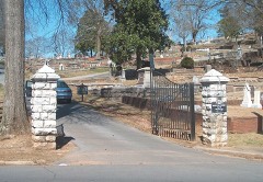
“In the part of Myrtle Hill Cemetery reserved for the deceased of the Civil War are 377 graves. Thig number includes 81 Confederate unknown and two unknown of the Federal Army. These Boys in Gray died at or near Rome; most of them succumbed to wounds or disease in Rome hospitals, while some were killed in defending Rome against Sherman's army in May, 1864, and in skirmishes before and after that date.”

Confederate Soldiers' Section - A History of Rome and Floyd County, State of Georgia, United States of America; Including Numerous Incidents of More Than Local Interest, 1540-1922 (1922). Machine-read text.

48 National Register listings published here, 1 of them a National Historic Landmark · the county-history sources tell 6 stories and name 37 people · people the book names include E. W. Barrett (Rome, 1922) (machine-read).

Sources: the county history on the Internet Archive · the National Register database, National Park Service

Georgia within the United States
Floyd County within Georgia

What the record shows

  • 3 places in this county were surveyed for fire insurance: Rome, Cave Springs, Cave Spring, between 1885 and 1950.
  • 14 fire insurance atlases survive for the county. Topographic coverage is national; fire insurance survey reached only incorporated places with something worth insuring.
  • 2,103 topographic sheet readings cover the county's settlements.
  • 48 properties here are on the National Register of Historic Places: 30 buildings, 17 districts and 1 structure.
  • 3 of the 48 listings were added during the 1970s.
  • The Geographic Names Information System records 118 populated places in this county; 118 are covered by at least one topographic sheet.

What happened here

6 accounts

Among them: Chapter Ii; Four Intrepid Confederate Leaders; Henry Grady To General. These passages come from the identified county-history source books. Each inset names its own source and opens the exact section it comes from.

From A History of Rome and Floyd County, State of Georgia, United States of America; Including Numerous Incidents of More Than Local Interest, 1540-1922, published 1922 - Rome

Chapter Ii

which the site of Rome was brought to the attention of the country. Gen. John Sevier* descended upon Cherokee Georgia from Tennessee, chasing with his 800 men 1,000 Indians who had scalped and killed thirteen people at Cavett's Station, near Knoxville, and had retreated southward. Gen. Sevier swept out of his path such resistance as was offered, and burned a number of Indian towns.

Read the rest of this passage

From A History of Rome and Floyd County, State of Georgia, United States of America; Including Numerous Incidents of More Than Local Interest, 1540-1922, published 1922 - Rome

Four Intrepid Confederate Leaders

At top, left to right, are Jefferson Davis, president of the Southern Confederacy, who was captured near Irwinville, Ga., in 1865, after a flight from Richmond with Colonel and Mrs. C. I. Graves, of Rome; and Gen. Jos. Eccleston Johnston, famed for his well-ordered retreat from Chattanooga through Rome. At the bottom are Gen.

Read the rest of this passage

From A History of Rome and Floyd County, State of Georgia, United States of America; Including Numerous Incidents of More Than Local Interest, 1540-1922, published 1922 - Rome

Henry Grady To General

HENRY GRADY TO GENERAL SHERMAN. - On Dec. 22, 1886, at a banquet of the New England Society at New York, at which Gen. Wm. T. Sherman sat at the speakers' table, Henry W. Grady declared : he said, 'Well, I killed as many of them as they did of me, and so I'm going to work!' A Confederate soldier returning home after defeat and roasting some corn on the roadside, said to his comrades, 'You may leave the South if you want to, but I'm going to SaTidersville, kiss my wife and raise a crop, and if the Yankees fool with me any more, I'll whip 'em again!' I want to say to Gen.

Read the rest of this passage

From A History of Rome and Floyd County, State of Georgia, United States of America; Including Numerous Incidents of More Than Local Interest, 1540-1922, published 1922 - Rome

A. Thew H. Brower

The preliminaries were all disposed of that day and fei'vent resolutions made if not promises exacted. The fates which had been cruel to Rome smiled upon the dilemma of the young Atlanta lawyer. A freshet in 1881 and swept away the first East Rome bridge (over the Etowah at Second Avenue). The river separated Woodrow and Ellen Lou, so the former borrowed a batteau built personally by Col.

Read the rest of this passage

From A History of Rome and Floyd County, State of Georgia, United States of America; Including Numerous Incidents of More Than Local Interest, 1540-1922, published 1922 - Rome

Five Romans Of The Early Days

Top, left to light, DeWitt Clinton Hargrove, who was killed at the First Battle of Manassas as a member of the Rome Light Guards; Henry W. Dean, father of Linton A., H. A. and J. Ed. Dean; Dr. George M. Battey, pharmacist and physician; Zachariah B. Hargrove, Jr., mayor of Rome in 1869; Wm. Hemphill Jones, son of Walton H.

Read the rest of this passage

From A History of Rome and Floyd County, State of Georgia, United States of America; Including Numerous Incidents of More Than Local Interest, 1540-1922, published 1922 - Rome

Confederate Soldiers' Section

In the part of Myrtle Hill Cemetery reserved for the deceased of the Civil War are 377 graves. Thig number includes 81 Confederate unknown and two unknown of the Federal Army. These Boys in Gray died at or near Rome; most of them succumbed to wounds or disease in Rome hospitals, while some were killed in defending Rome against Sherman's army in May, 1864, and in skirmishes before and after that date.

Read the rest of this passage

Photographs

12 photographs, 1943 to 2017

Taken for the Office of War Information and the Farm Security Administration, who photographed the country between 1935 and 1944. Works of United States government photographers, with no known restriction on use. Each opens its catalogue record.

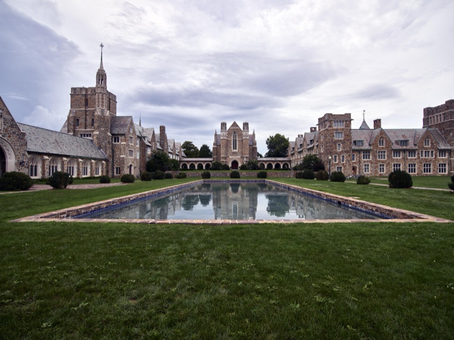
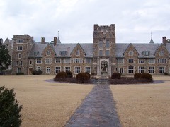
The Ford Buildings, as they are known, on the 27,000-acre campus of Berry College in Mount Berry, near Rome, Georgia
Highsmith, Carol M, 2017. Library of Congress
A Greyhound bus trip from Louisville, Kentucky, to Memphis, Tennessee, and the terminals. Passengers waiting to get on the Greyhound bus at Rome, Georgia. Most of them only travel a short distance, having come in from nearby farms to shop, etc
Bubley, Esther, photographer, 1943. Library of Congress
View from the pulpit at the Sardis Presbyterian Church, a historic rural church near Rome in Floyd County, Georgia
Highsmith, Carol M, 2017. Library of Congress
View from the pulpit at the Sardis Presbyterian Church, a historic rural church near Rome in Floyd County, Georgia
Highsmith, Carol M, 2017. Library of Congress
A Greyhound bus trip from Louisville, Kentucky, to Memphis, Tennessee, and the terminals. Sign at bus station. Rome, Georgia
Bubley, Esther, photographer, 1943. Library of Congress
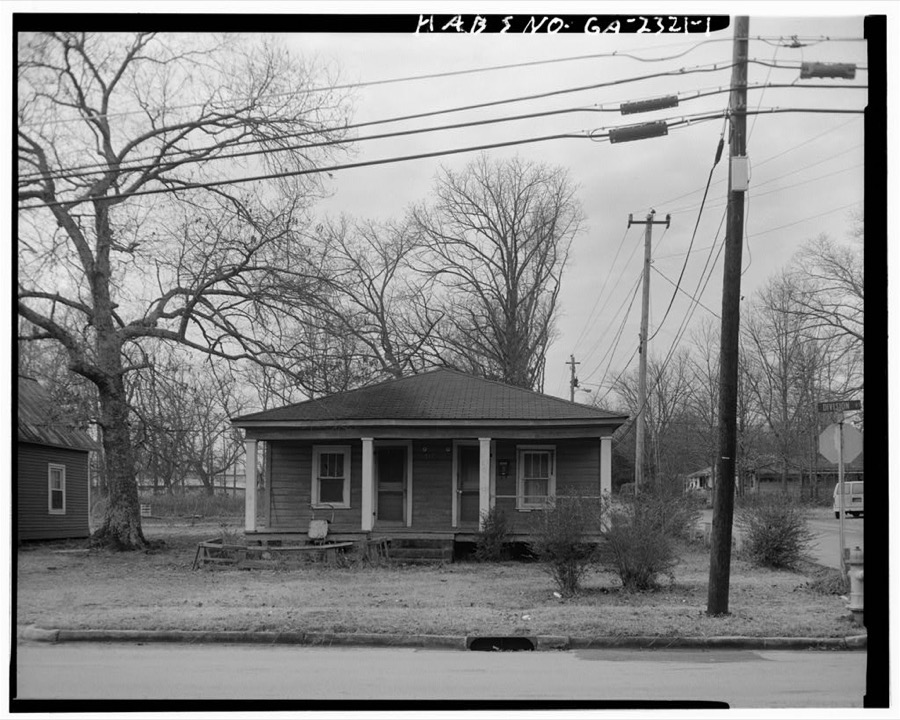
217 Division Street (House), Rome, Floyd County, GA
Photographer not recorded. Library of Congress
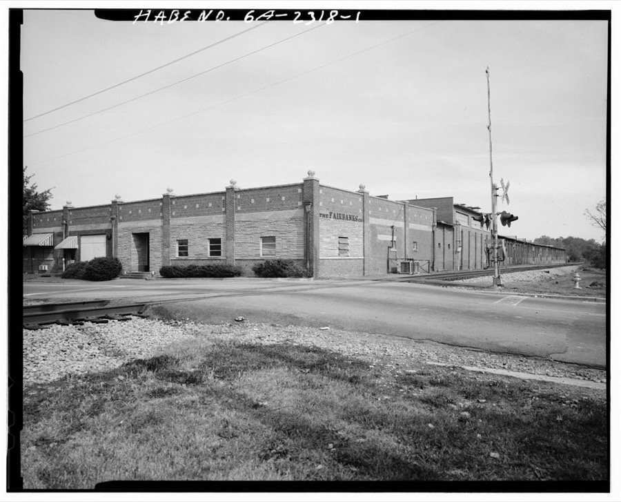
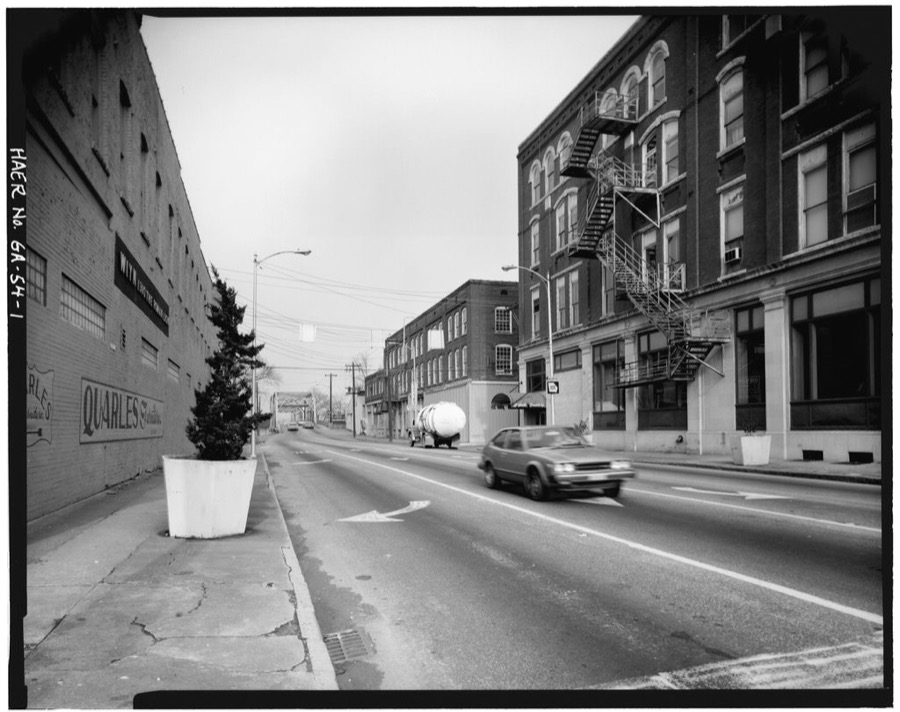
Fairbanks Company, 202 Division Street, Rome, Floyd County, GA
Photographer not recorded. Library of Congress
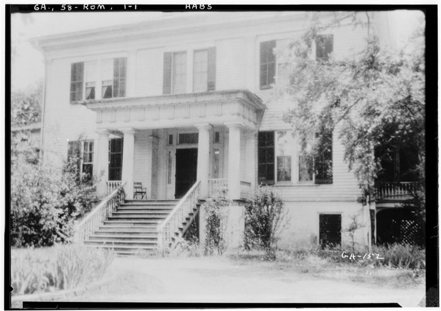
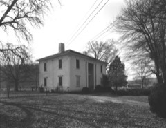
"Thornwood", Shorter College Vicinity, Rome, Floyd County, GA
Photographer not recorded. Library of Congress
Second Avenue Bridge, Spanning Oostanaula on State Route 101 (Second Avenue), Rome, Floyd County, GA
Photographer not recorded. Library of Congress
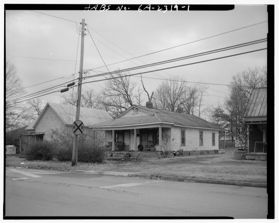
213 Division Street (House), Rome, Floyd County, GA
Photographer not recorded. Library of Congress
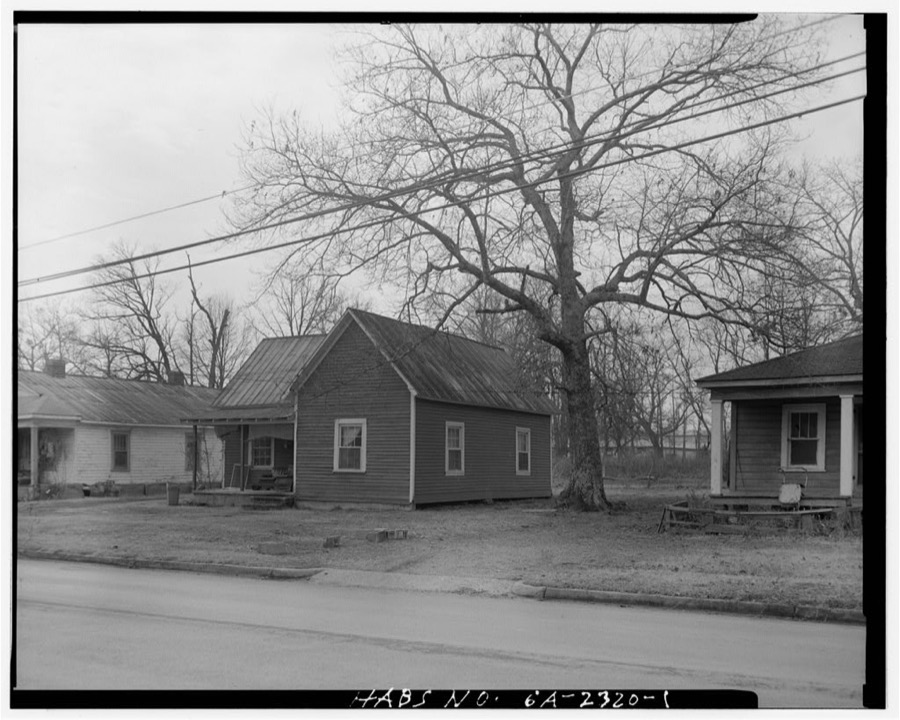
215 Division Street (House), Rome, Floyd County, GA
Photographer not recorded. Library of Congress
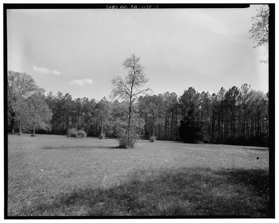
Berry Schools Historic District (Landscape), Mount Berry, Floyd County, GA
Photographer not recorded. Library of Congress

Places on the National Register

48

Every property in this county listed on the National Register of Historic Places, with the year it was listed and the federal nomination document.

Photograph PropertyType ListedReference
Dr. Robert Battey Housebuilding198282002414
Berry Schoolsdistrict197878000981
Between the Rivers Historic Districtdistrict198383000193
Between the Rivers Historic District (Boundary Increase)building198988003124
John M. Carroll Housebuilding198080001021
Carroll-Harper Housebuilding198080001023
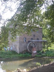
Carroll-Richardson Grist Millbuilding198080001025
Cave Spring Commercial Historic Districtdistrict198080001028
Cave Spring Female Academybuilding198080001030
Cave Spring High Schoolbuilding198080001032
Cave Spring Railroad Stationbuilding198080001034
Cave Spring Residential Historic Districtdistrict198080001035
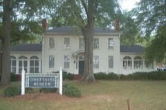
Chieftainsbuilding197171000273
Chubb Methodist Episcopal Churchbuilding199090000728
Wesley O. Conner Housebuilding198080001037
Coosa Country Club Golf Coursedistrict2022100007578
William D. Cowdry Plantationbuilding198080001039
Double-Cola Bottling Companybuilding200606000738
East Rome Historic Districtdistrict198585001637
Fairview Schoolbuilding2017100001019
Oliver P. Fannin Housebuilding198080001041
Floyd County Courthousebuilding198080001067
Joseph Ford Housebuilding198080001043
Georgia School for the Deaf Historic Districtdistrict198080001045
Jackson Hill Historic Districtdistrict199797000370
Lower Avenue A Historic Districtdistrict198383000194
Main High Schooldistrict200202001219
John T. Mann Housebuilding198080001047
Mayo's Bar Lock and Damdistrict198989002020
Dr. W. T. McKinney Housebuilding198080001049
Myrtle Hill Cemeterydistrict198383000196
Oakdene Placedistrict198383000197
Old Brick Millbuilding199393000936
Rivers Farmbuilding198080001051
Samuel W. Robbins Housebuilding198080001053
Rolator Park Historic Districtdistrict198080001055
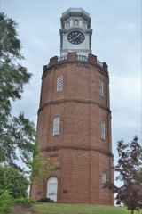
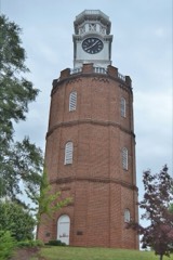
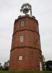
Rome Clock Towerstructure198080001068
Roving Housebuilding198080001057
Sardis Presbyterian Church and Cemeterydistrict200504001468
Simmons Housebuilding198080001059
William S. Simmons Plantationbuilding198080001061
South Broad Street Historic Districtdistrict198383004182
Sullivan-Hillyer Housebuilding200202001215
Thankful Baptist Churchbuilding198585001973
U.S. Post Office and Courthousebuilding197575000592
Upper Avenue A Historic Districtdistrict198383000198
George T. Watts Housebuilding198080001063
Wharton-Trout Housebuilding198080001065

Bird's-eye views and land ownership maps

2

Drawn when these were printed as single large sheets: the town seen from the air, and the county divided into its farms with every owner named. Each opens the original at the Library of Congress.

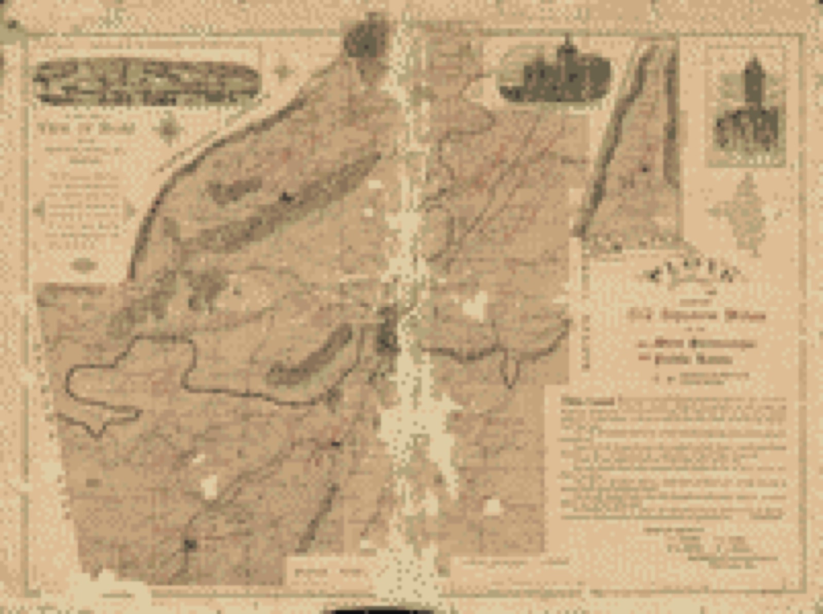
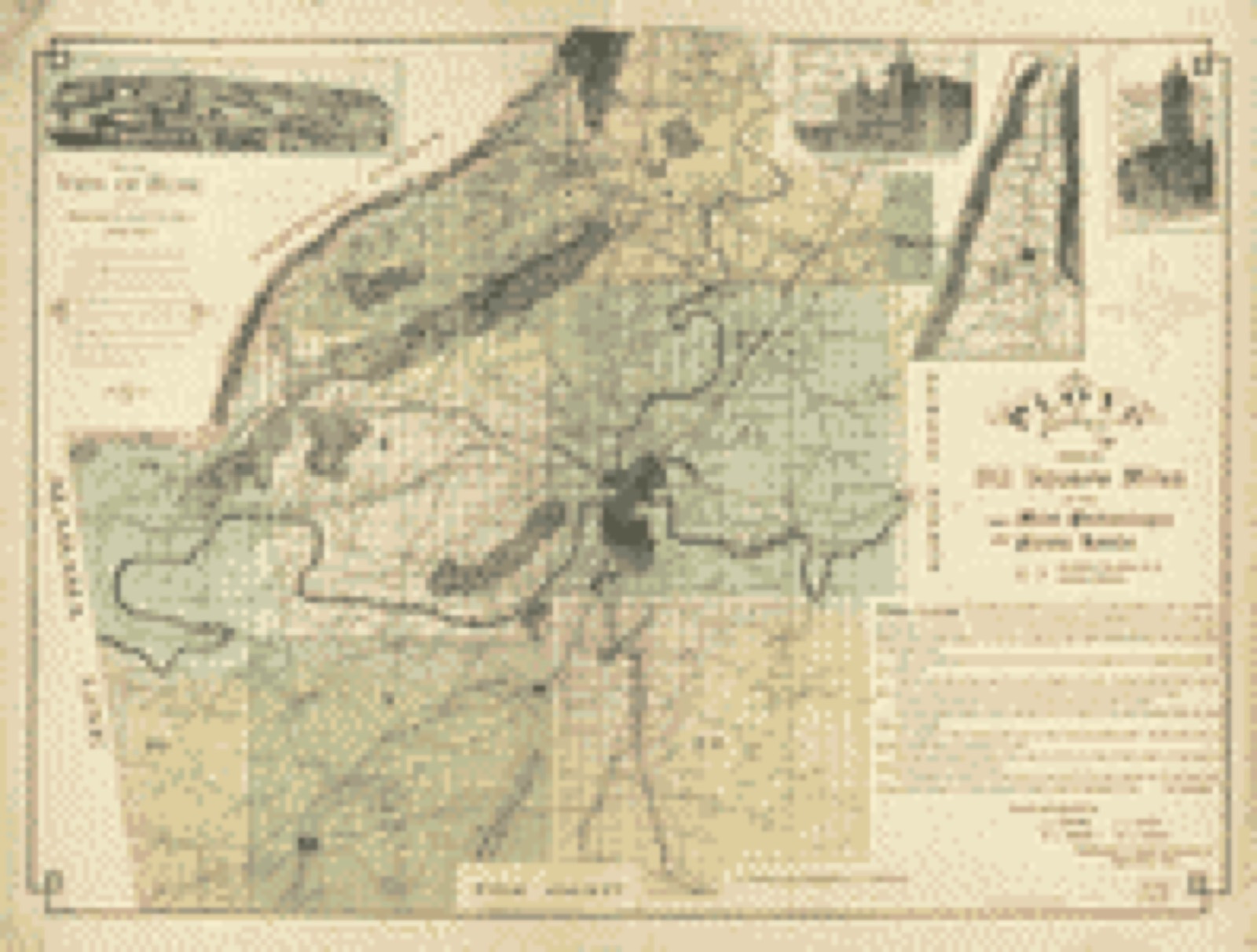
Land ownership map, 1895 - Floyd County, Ga. embraces 512 square miles of the most picturesque and fertile lands, conceded to the state Cherokee Indians
Land ownership map (1895) - Floyd County, Ga. embraces 512 square miles of the most picturesque and fertile lands, conceded to the state Cherokee Indians. Library of Congress.

The county from the air

28 shown

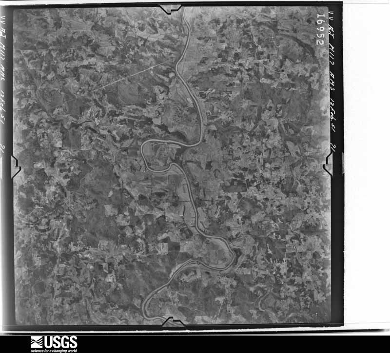
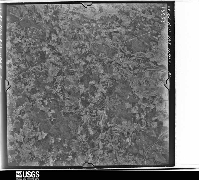
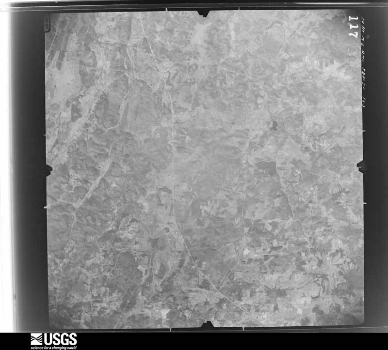
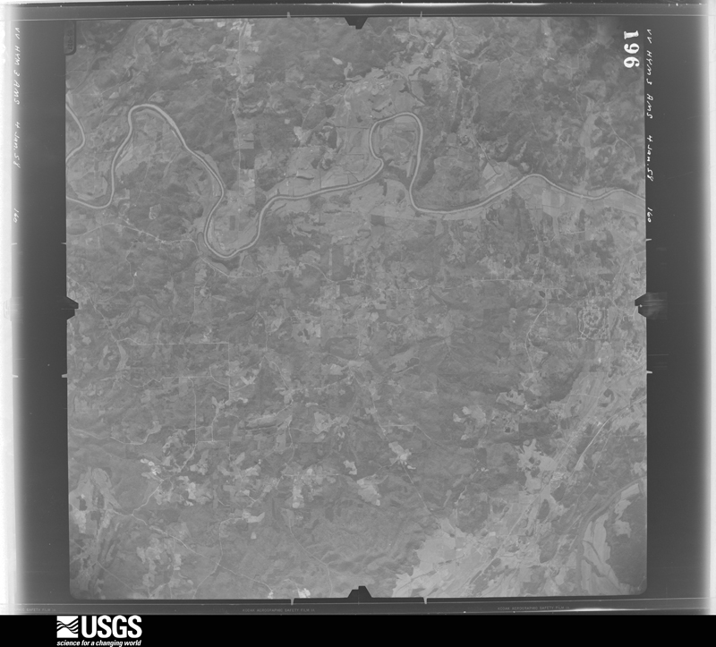
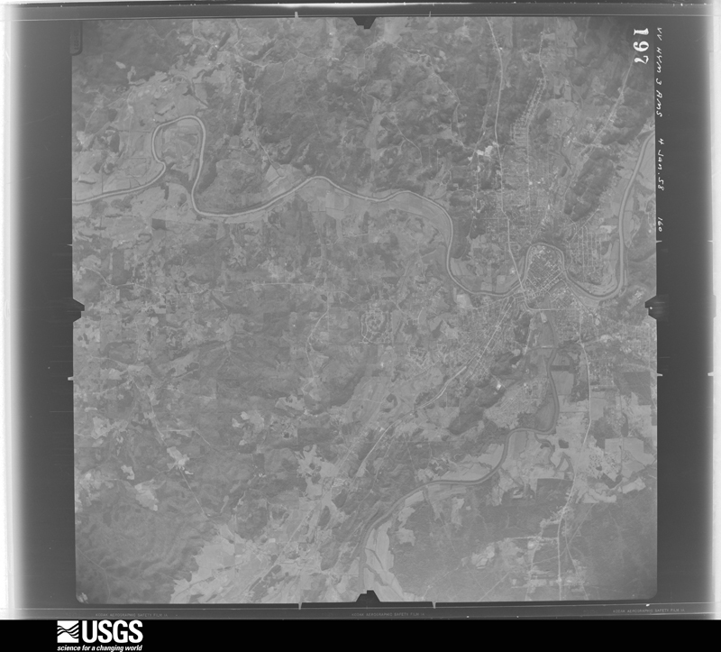
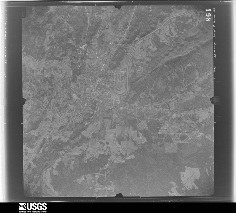
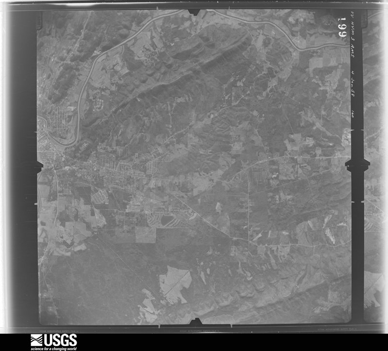
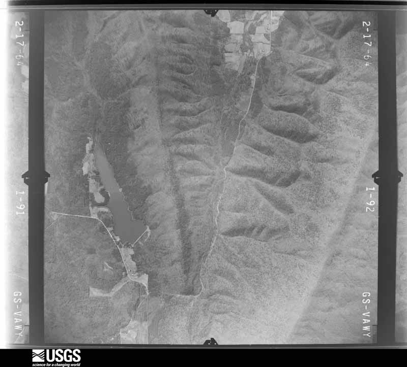
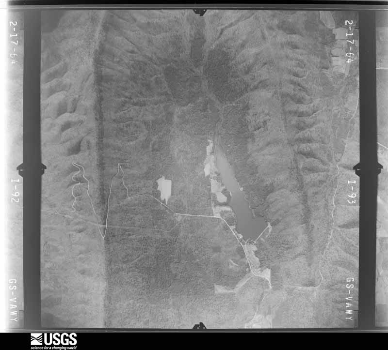
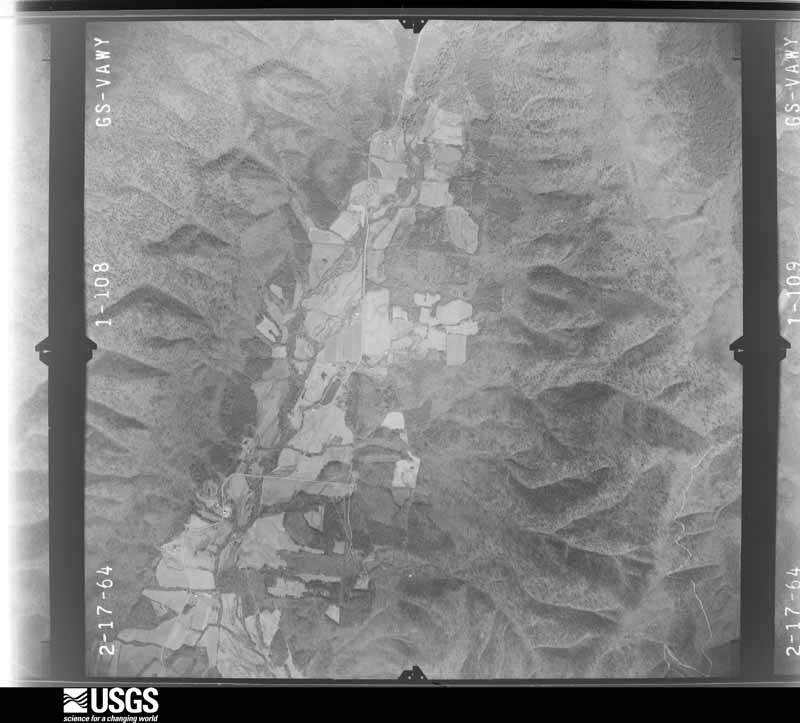
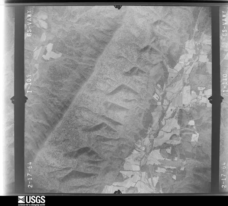
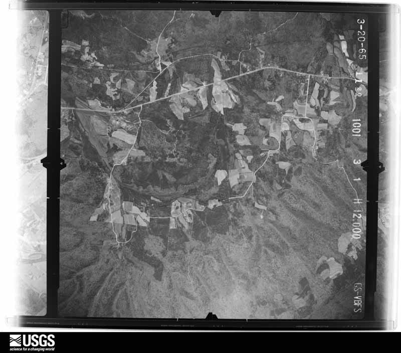
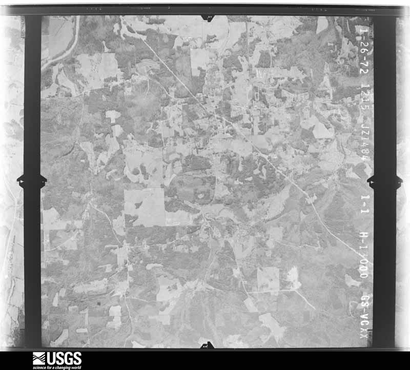
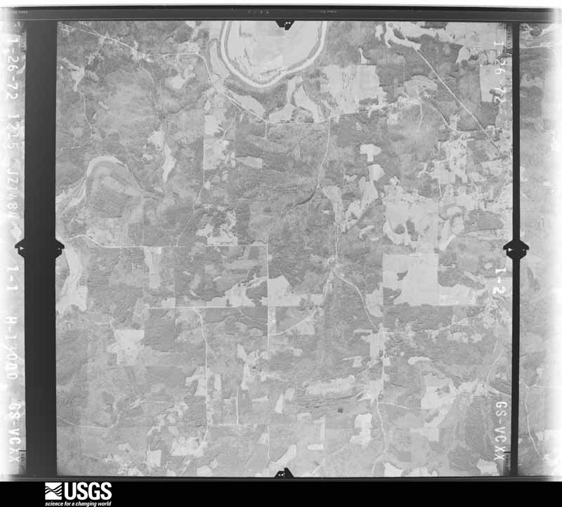
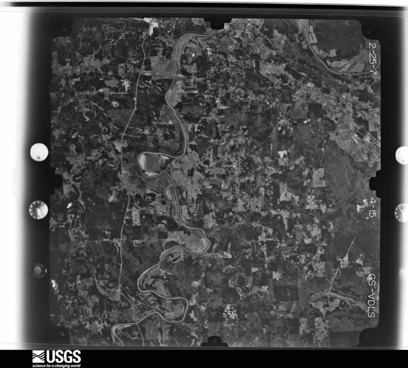
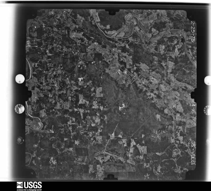
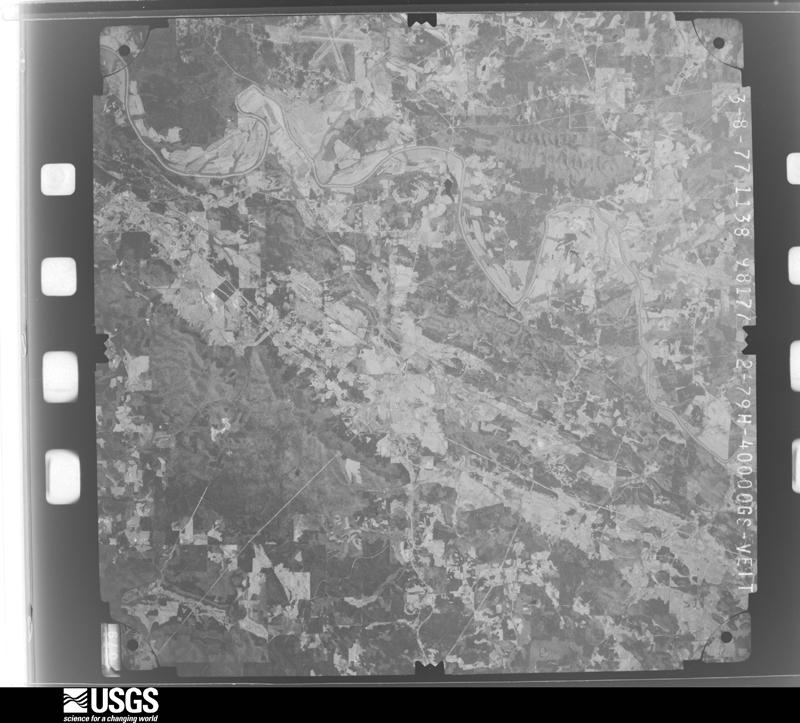
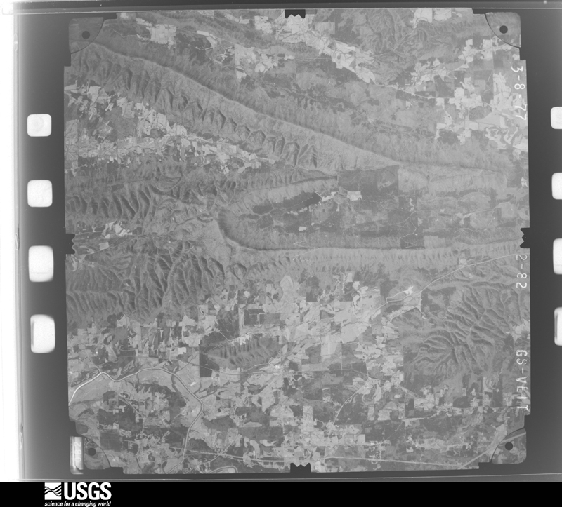
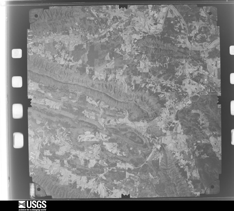
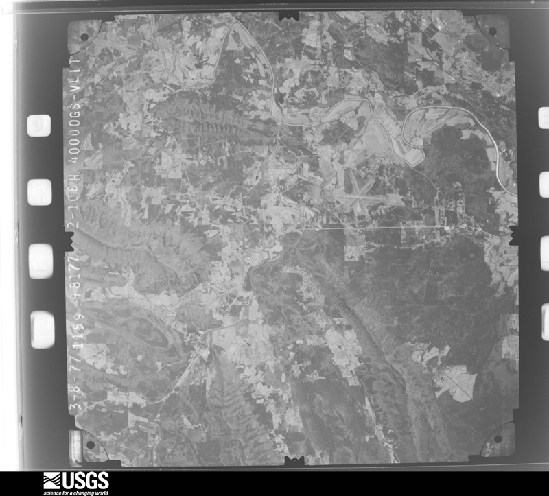
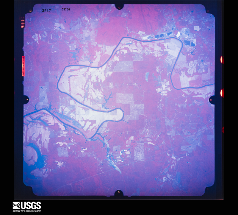
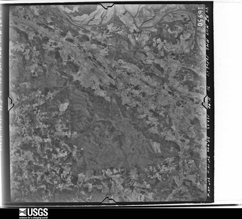
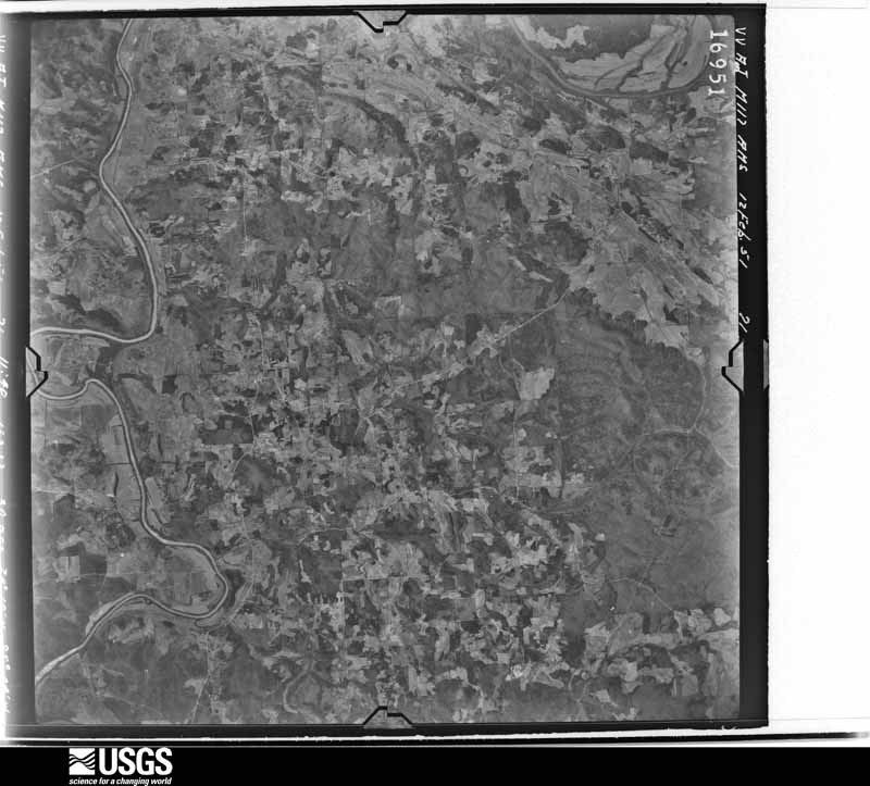
Flown by the U.S. Geological Survey between 1937 and 1989, the Aerial Photo Single Frames collection is the definitive mid-century view of the land: fields, roads and rivers as the camera saw them. The Survey holds 917 frames inside the rectangle that bounds this county; the 28 frames below were taken over the county itself, chosen across the decades of flights (at most four a year from that rectangle), so one flight cannot crowd out the rest. The full set is free to browse and download at EarthExplorer under the dataset Aerial Photo Single Frames.

U.S. Geological Survey aerial photograph, 1951-02-12, scale 1:60000
1951-02-12, scale 1:60000. U.S. Geological Survey aerial photograph.
U.S. Geological Survey aerial photograph, 1951-02-12, scale 1:60000
1951-02-12, scale 1:60000. U.S. Geological Survey aerial photograph.
U.S. Geological Survey aerial photograph, 1951-02-12, scale 1:60000
1951-02-12, scale 1:60000. U.S. Geological Survey aerial photograph.
U.S. Geological Survey aerial photograph, 1951-02-12, scale 1:60000
1951-02-12, scale 1:60000. U.S. Geological Survey aerial photograph.
U.S. Geological Survey aerial photograph, 1957-12-05, scale 1:66000
1957-12-05, scale 1:66000. U.S. Geological Survey aerial photograph.
U.S. Geological Survey aerial photograph, 1957-12-05, scale 1:66000
1957-12-05, scale 1:66000. U.S. Geological Survey aerial photograph.
U.S. Geological Survey aerial photograph, 1958-01-04, scale 1:66000
1958-01-04, scale 1:66000. U.S. Geological Survey aerial photograph.
U.S. Geological Survey aerial photograph, 1958-01-04, scale 1:66000
1958-01-04, scale 1:66000. U.S. Geological Survey aerial photograph.
U.S. Geological Survey aerial photograph, 1958-01-04, scale 1:66000
1958-01-04, scale 1:66000. U.S. Geological Survey aerial photograph.
U.S. Geological Survey aerial photograph, 1958-01-04, scale 1:66000
1958-01-04, scale 1:66000. U.S. Geological Survey aerial photograph.
U.S. Geological Survey aerial photograph, 1964-02-17, scale 1:19000
1964-02-17, scale 1:19000. U.S. Geological Survey aerial photograph.
U.S. Geological Survey aerial photograph, 1964-02-17, scale 1:19000
1964-02-17, scale 1:19000. U.S. Geological Survey aerial photograph.
U.S. Geological Survey aerial photograph, 1964-02-17, scale 1:19000
1964-02-17, scale 1:19000. U.S. Geological Survey aerial photograph.
U.S. Geological Survey aerial photograph, 1964-02-17, scale 1:19000
1964-02-17, scale 1:19000. U.S. Geological Survey aerial photograph.
U.S. Geological Survey aerial photograph, 1965-03-20, scale 1:24000
1965-03-20, scale 1:24000. U.S. Geological Survey aerial photograph.
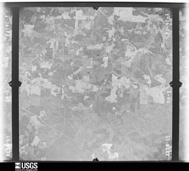
U.S. Geological Survey aerial photograph, 1972-01-26, scale 1:26000
1972-01-26, scale 1:26000. U.S. Geological Survey aerial photograph.
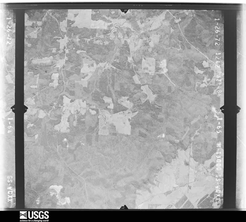
U.S. Geological Survey aerial photograph, 1972-01-26, scale 1:26000
1972-01-26, scale 1:26000. U.S. Geological Survey aerial photograph.
U.S. Geological Survey aerial photograph, 1972-01-26, scale 1:26000
1972-01-26, scale 1:26000. U.S. Geological Survey aerial photograph.
U.S. Geological Survey aerial photograph, 1972-01-26, scale 1:26000
1972-01-26, scale 1:26000. U.S. Geological Survey aerial photograph.
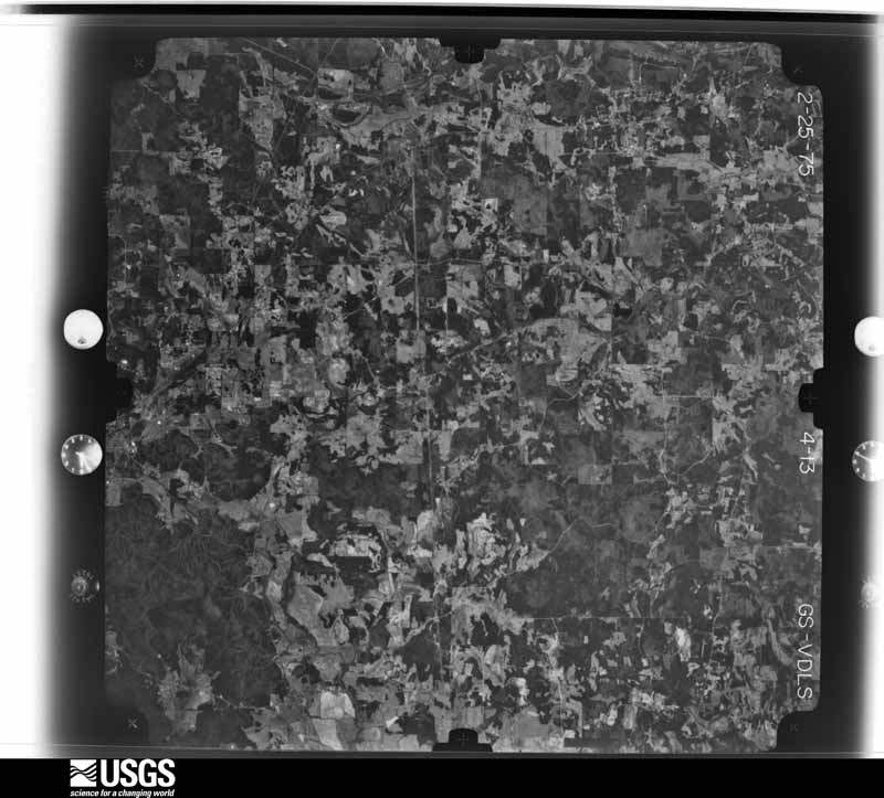
U.S. Geological Survey aerial photograph, 1975-02-25, scale 1:76000
1975-02-25, scale 1:76000. U.S. Geological Survey aerial photograph.
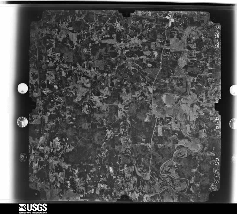
U.S. Geological Survey aerial photograph, 1975-02-25, scale 1:76000
1975-02-25, scale 1:76000. U.S. Geological Survey aerial photograph.
U.S. Geological Survey aerial photograph, 1975-02-25, scale 1:76000
1975-02-25, scale 1:76000. U.S. Geological Survey aerial photograph.
U.S. Geological Survey aerial photograph, 1975-02-25, scale 1:76000
1975-02-25, scale 1:76000. U.S. Geological Survey aerial photograph.
U.S. Geological Survey aerial photograph, 1977-03-08, scale 1:80000
1977-03-08, scale 1:80000. U.S. Geological Survey aerial photograph.
U.S. Geological Survey aerial photograph, 1977-03-08, scale 1:80000
1977-03-08, scale 1:80000. U.S. Geological Survey aerial photograph.
U.S. Geological Survey aerial photograph, 1977-03-08, scale 1:80000
1977-03-08, scale 1:80000. U.S. Geological Survey aerial photograph.
U.S. Geological Survey aerial photograph, 1977-03-08, scale 1:80000
1977-03-08, scale 1:80000. U.S. Geological Survey aerial photograph.
U.S. Geological Survey aerial photograph, 1988-07-09, scale 1:66000
1988-07-09, scale 1:66000. U.S. Geological Survey aerial photograph.

Weather records

21 stations, 8 gages

The thermometers that kept this county's weather, and the gages that measured the flow of its streams, as the federal records hold them. The extremes below are measured values from those records, not estimates.

The 1950 census, district by district

84 districts

Who lived here in 1950, one enumeration district at a time, as the Census Bureau described each district. Each row opens its official National Archives result, with Population Schedules and ED Maps available there.

  • 57-1Militia District 829, Cave Springs: Cave Springs city, excluding Georgia State School for the Deaf
  • 57-2Georgia State School for the Deaf (In Cave Springs city)
  • 57-3Militia District 829, Cave Springs - That part outside Cave Springs city
  • 57-4Militia District 855, North Carolina - That part north of State Hwy. 20
  • 57-5Militia District 855, North Carolina - That part south of State Hwy. 20
  • 57-6Militia District 859, Watters: Shannon, unincorporated (See boundaries shown on aerial photo number J7-30-19)
  • 57-7Militia District 859, Watters - That part southeast of State Hwy. 53, outside Shannon, unincorporated (See aerial photo JZ-30-19 for boundaries of Shannon)
  • 57-8Militia District 859, Watters - That part northwest of State Hwy. 53, outside Shannon, unincorporated (See aerial photo JZ-30-19 for boundaries of Shannon) Rome city, comprising Militia District 919, Rome, and part of Militia Districts 1048, Etowah, 1120, Mount Alto and 1562, Lindale:
  • 57-9Rome city - That part of Ward 1 in Militia District 919, Rome Bounded by Harvey, N. Broad, Calhoun Ave.; Southern Railroad; E. First; Ross
  • 57-10Rome city - That part of Ward 1 in Militia District 919, Rome Bounded by City limits, Ward line; Blossom Hill Rd., Ross; Broad; 8th Ave., W. 2nd, 7th Ave.
  • 57-11Rome city - That part of Ward 1 in Militia District 919, Rone Bounded by City limits; 7th Ave., W. 2nd, 8th Ave.; Broad; 6th Ave., Ward line, Oostanaula River
  • 57-12Rome city - That part of Ward 1 in Militia District 919, Rome Bounded by Broad, Ross, E. 1st; Southern Railroad; City limits; Ward line, 6th Ave.
  • 57-13Rome city - That part of Ward 2 in Militia District 919, Rome, excluding General Forrest Hotel Bounded by Oostanaula River; Ward line, 6th Ave.; E. 2nd; 3rd Ave., Ward line
  • 57-14General Forrest Hotel (In Rome city, Ward 2, Militia District 919, Rome)
  • 57-15Rome city - That part of Ward 2 in Militia District 919, Rome Bounded by E. 2nd; 6th Ave., Ward line; City limits, Ward line, Etowah River; Ward line, 3rd Ave.
  • 57-16Rome city - That part of Ward 3 in Militia District 919, Rome Bounded by Oostanaula River; Ward line, 3rd Ave., Ward line; Etowah River; 2nd Ave.
  • 57-17Rome city - That part of Ward 3 in Militia District 919, Rome, excluding Greystone Hotel Bounded by Ward line, Oostanaula River; 2nd Ave.; Etowah River, Ward line; Etowah River
  • 57-18Greystone Hotel (In Rome city, Ward 3, Militia District 919, Rome)
  • 57-19Rome city - That part of Ward 4 in Militia District 919, Rome Bounded by City limits; City limits; Robin, Timothy Ave., Charlton; City limits
  • 57-20Rome city - That part of Ward 4 in Militia District 919, Rome Bounded by Charlton, Timothy Ave., Robin; City limits, Southern Railroad, N. 2nd Ave., Quarry, Desoto Ave., N. 2nd Ave.; Shorter Ave.; Rock Ave., Ward line, Central of Georgia Railroad, City limits
  • 57-21Rome city - That part of Ward 4 in Militia District 919, Rome Bounded by Southern Railroad; Ave. C, N. 5th Ave.; W. 7th; N. 2nd Ave., Desoto Ave., Quarry, N. 2nd Ave.
  • 57-22Rome city - That part of Ward 4 in Militia District 919, Rome Bounded by West 13th; Ave. B; N. 5th Ave.; N. 5th Ave., Ave; C
  • 57-23Rome city - That part of Ward 4 in Militia District 919, Rome Bounded by City limits; City limits, Oostanaula River; N. 5th Ave. bridge, N. 5th Ave.; Ave. B, W. 13th, Ave. C
  • 57-24Rome city - That part of Ward 4 in Militia District 919, Rome Bounded by Shorter Ave., W. 7th; N. 5th Ave., N. 5th Ave. bridge, Oostanaula River; Ward line, Coosa River; Ward line
  • 57-25Rome city - That part of Ward 5 in Militia District 919, Rome Bounded by Coosa River, Etowah River; S. Broad; Alto, Pennington Ave., Myrtle; City limits
  • 57-26Rome city - That part of Ward 5 in Militia District 919, Rome Bounded by Alto, S. Broad; Etowah Ter.; Forrest; Pennington Ave.
  • 57-27Rome city - That part of Ward 5 in Militia District 919, Rome Bounded by Myrtle; Pennington Ave., Cherokee, Branham Ave.; Grover; City limits
  • 57-28Rome city - That part of Ward 5 in Militia District 919, Rome Bounded by Cherokee, Pennington Ave., Forrest; Etowah Ter.; Lookout Ave., S. Broad, W. Main, Pennington Ave., Grover; Branham Ave.
  • 57-29Rome city - That part of Ward 5 in Militia District 919, Rome Bounded by S. Broad; Etowah River, Silver Creek; E. 12th, E. Main; S. Broad, Lookout Ave., Etowah Ter.
  • 57-30Rome city - That part of Ward 5 in Militia District 919, Rome Bounded by E. Main; Cave Spring; Ward line, City limits; S. Broad
  • 57-31Rome city - That part of Ward 5 in Militia District 919, Rome Bounded by City limits, Grover; Pennington Ave., W. Main, S. Broad; City limits; City limits
  • 57-32Rome city - That part of Ward 6 in Militia District 919, Rome Bounded by City limits; City limits; Southern Railroad; North Ave., City limits
  • 57-33Rome city - That part of Ward 6 in Militia District 919, Rome Bounded by City limits; North Ave., Southern Railroad; Calhoun Ave., N. Broad, Harvey; Copeland, Reece, Southern Railroad, northern branch of Southern Railroad, City limits
  • 57-34Rome city - That part of Ward 6 in Militia District 919, Rome Bounded by Northern branch of Southern Railroad, Southern Railroad; Reece, Copeland; Harvey, Ross, Blossom Hill Rd., Ward line; City limits
  • 57-35Rome city - That part of Ward 6 in Militia District 919, Rome Bounded by Southern Railroad City limits; Calhoun Ave.
  • 57-36Rome city - That part of Ward 6 in Militia District 919, Rome Bounded by Calhoun Ave., City limits; City limits; Kingston Ave.
  • 57-37Rome city - That part of Ward 6 in Militia District 919, Rome Bounded by Kingston Ave.; City limits; City limits, E. 1st; Chambers
  • 57-38Rome city - That part of Ward 6 in Militia District 919, Rome Bounded by Calhoun Ave., Kingston Ave.; Chambers, Militia District line; City limits; Southern Railroad
  • 57-39Rome city - That part of Ward 7 in Militia District 919, Rome Bounded by Ward line, City limits; Brooks Ave., City limits; E. 6th; 2nd Ave., 2nd Ave. bridge, Etowah River
  • 57-40Rome city - That part of Ward 7 in Militia District 919, Rome Bounded by Etowah River; 2nd Ave. bridge, 2nd Ave., E. 6th, Maple Ave.; E. 12th; Silver Creek, Ward line
  • 57-41Rome city - That part of Ward 7 in Militia District 919, Rome Bounded by 2nd Ave.; E. 10th; Maple Ave., E. 6th
  • 57-42Rome city - That part of Ward 7 in Militia District 919, Rome Bounded by E. 8th; City limits; City limits, E. 12th; 2nd Ave.
  • 57-43Rome city - That part of Ward 7 in Militia District 919, Rome Bounded by E. 10th, 2nd Ave.; Dean Ave.; E. 14th; Maple Ave.
  • 57-44Rome city - That part of Ward 8 in Militia District 919, Rome Bounded by E. 14th, Dean Ave., E. 12th; City limits; City limits; Maple Ave.
  • 57-45Rome city - That part of Ward 8 in Militia District 919, Rome Bounded by E. 12th; Maple Ave.; E. 18th; Central of Georgia R.B., Southern Railroad
  • 57-46Rome city - That part of Ward 8 in Militia District 919, Rome Bounded by Ward line, Cave Spring, E. Main, E. 12th; Southern Railroad; City limits; City limits
  • 57-47Rome city - That part of Ward 8 in Militia District 919, Rome Bounded by Central of Georgia Railroad, E. 18th; Maple Ave.; City limits; Southern Railroad
  • 57-48Rome city - That part of Ward 9 in Militia District 919, Rome Bounded by Central of Georgia Railroad; Ward line, Rock Ave.; Shorter Ave.; Division
  • 57-49Rome city - That part of Ward 9 in Militia District 919, Rome Bounded by City limits, Southern Railroad, Militia District line, Lamar, Sampson, Militia District line, Gadson, Militia District line, Fortune, Georgia Ave., Militia District line, Georgia Ave.; Division; Shorter Ave.; City limits
  • 57-50Rome city - That part of Ward 9 in Militia District 919, Rome Bounded by Shorter Ave.; Hanks; City limits; City limits
  • 57-51Rome city - That part of Ward 9 in Militia District 919, Rome Bounded by Shorter Ave.; Ward line; City limits; Hanks
  • 57-52Rome city - That part of Ward 6 in Militia District 1048, Etowah Bounded by E. 1st; City limits; City limits; Militia District line, Chambers
  • 57-53Rome city - That part of Ward 9 in Militia District 1120, Mount Alto Bounded by City limits; Georgia Ave., Militia District line, Georgia Ave., Fortune, Militia District line, Gadson, Militia District line, Sampson, Lamar, Militia District line, Southern Railroad; City limits
  • 57-54Rome city - That part of Ward 7 in Militia District 1562, Lindale Bounded by City limits; City limits; City limits; Brooks Ave.
  • 57-55Militia District 923, Texas Valley
  • 57-56Militia District 924, Barkers - That part southeast of U.S. Hwy. 27
  • 57-57Militia District 924, Barkers - That part northwest of U.S. Hwy. 27
  • 57-58Militia District 949, Floyd Springs
  • 57-59Militia District 962, Chulio - That part east of Spring Creek
  • 57-60Militia District 962, Chulio - That part west of Spring Creek
  • 57-61Militia District 1048, Etowah - That part north of U.S. Hwy. 411
  • 57-62Militia District 1048, Etowah - That part south of U.S. Hwy. 411, outside Rome city (Remainder of Militia District 1048, Etowah, is in Rome city)
  • 57-63Militia District 1059, Livingston
  • 57-64Militia District 1120, Mount Alto, outside Rome city: Alto Park, unincorporated (See boundaries shown on aerial photo JZ-30-103)
  • 57-65Militia District 1120, Mount Alto - That part outside Rome city and Alto Park, unincorporated (See. aerial photo JZ-3C-103 for boundaries of Alto Park (Remainder of Militia District 1120, Mount Alto, is in Rome city)
  • 57-66Militia District 1337, Everett Springs
  • 57-67Militia District 1453, Fosters Mill
  • 57-68Militia District 1478, Vans Valley: DeSoto Park, unincorporated Bounded by Rome City limits; Rome city limits, Militia District line; Unnamed road, E. Wt. line to Coosa River; Coosa River
  • 57-69Militia District 1478, Vans Valley - That part outside DeSoto Park, unincorporated (See separate map for boundaries of DeSoto Park)
  • 57-70Militia District 1504, Howells - That part east of State Hwy. 101
  • 57-71Militia District 1504, Howells - That part west of State Hwy. 101
  • 57-72Militia District 1562, Lindale, outside Rome city: Lindale and Silver Creek, unincorporated - That part Bounded by Alexander extended, Alexander, Central of Georgia Railroad, Old Lindale Rd.; U.S. Hwy. 27, Old Rockmart Rd.; Silver, U.S. Hwy. 27; Southern Railroad
  • 57-73Lindale and Silver Creek, unincorporated - That part Bounded by Militia District line; Southern Railroad, U.S. Hwy. 27, S. 1st, Grove; S. 3rd, Walnut, S. 2nd, Eden Mountain Rd.; Militia District line
  • 57-74Lindale and Silver Creek, unincorporated - That part Bounded by Eden Mountain Rd., S. 2nd; Walnut, S. 5th, U.S. Hwy. 27; Booze Mountain Rd.; Militia District line
  • 57-75Lindale and Silver Creek, unincorporated - That part Bounded by Silver, Old Rockmart Rd.; Old Rockmart Rd.; Silver Creek Rd.; U.S. Hwy. 27, S. 5th, Walnut, S. 3rd, Grove, S. 1st, U.S. Hwy. 27
  • 57-76Militia District 1562, Lindale - That part east of State Hwy. 101, outside Rome city
  • 57-77Militia District 1562, Lindale, - That part west of State Hwy. 101, outside Lindale and Silver Creek, unincorporated (See separate map for boundaries of Lindale and Silver Creek) (Remainder of Militia District 1562, Lindale is in Rome city)
  • 57-78Militia District 1688, Glenwood - That part east of U.S. Hwy. 27
  • 57-79Militia District 1688, Glenwood - That part west of U.S. Hwy. 27, excluding Georgia Juvenile Training Institute
  • 57-80Georgia Juvenile Training Institute (in Militia District 1688, Glenwood)
  • 57-81Militia District 1719, Armuchee - That part east and northeast of U.S. Hwy. 27
  • 57-82Militia District 1719, Armuchee - That part southwest and west of U.S. Hwy. 27
  • 57-83Militia District 1822, Riverside, coextensive with Celanese Village, unincorporated - Celanese Village, unincorporated - That part Bounded by Militia District line; Militia District line; North Ave., Chatillion, Tubize Rd., Southern Railway, Militia District line (Rome city limits); Militia District line (Oostanaula River) (See boundaries shown on aerial photo JZ-3C-34)
  • 57-84Celanese Village, unincorporated - That part Bounded by Militia District line, Southern Railway, Tubize Rd., Chattillion, North Ave.; Militia District line; Militia District line (Rome city limits); Militia District line (Rome city limits) (See boundaries shown on aerial photo JZ-30-34)

Wildfire, 1992 to 2020

2,052 fires

Every wildfire the federal occurrence database records inside this county: 2,052 of them, burning about 13,396 acres. 52 started naturally and 675 were recorded as arson. Each settlement page carries the fires within five miles of it.

Reported cause Fires
Debris and open burning962
Arson/incendiarism675
Equipment and vehicle use122
Recreation and ceremony77
Misuse of fire by a minor69
Missing data/not specified/undetermined60
Natural52
Smoking27
Railroad operations and maintenance8

The five largest, by the area the report gives. Three of them were set deliberately.

DateCause SizeReported by Name on the report
22 September 2016Arson/incendiarism908 acresGeorgia Forestry CommissionFY2017-FLOYD-012
2 August 1995Arson/incendiarism265 acresGeorgia Forestry Commissionnot named
6 October 1993Arson/incendiarism229 acresGeorgia Forestry Commissionnot named
15 March 1994Missing data/not specified/undetermined218 acresGeorgia Forestry Commissionnot named
16 November 1999Recreation and ceremony197 acresGeorgia Forestry Commissionnot named
22 September 2014Debris and open burning182 acresGeorgia Forestry CommissionFY2015-FLOYD-003
10 November 1999Missing data/not specified/undetermined181 acresChattahoochee-Oconee National ForestLAKE MARVIN
6 January 2001Debris and open burning174 acresGeorgia Forestry CommissionFY2001-FLOYD-036

Every settlement page carries the fires within five miles of it - see the settlement index below.

Storms, 1955 to 2026

60 of 516 shown

The NOAA Storm Events Database holds 516 reports for this county, causing 4 deaths, 53 injuries and about $48,553,000 in recorded property damage. Each settlement page carries the reports that name it.

Kind of event Reports
Thunderstorm Wind286
Hail116
Lightning38
Flash Flood35
Tornado19
Flood11
Heavy Rain7
Funnel Cloud4

The most serious of them, by death, then injury, then recorded damage. The accounts are quoted exactly as the forecast office filed them.

WhenEvent Place namedHarm What the report says
April 1977Tornado (F3)not stated1 killed, 15 hurt, $2,500,000no account filed
March 2008Tornado (EF3)Wax1 killed, 1 hurt, $1,000,000A ground and aerial storm survey conducted by the National Weather Service Forecast Office in Peachtree City Georgia in cooperation with the Georgia State Patrol confirmed that the EF3 tornado, that first touched down in extreme north central Polk county just east of Seney, continued on an east-northeastward track across extreme southeast Floyd county. Approximately three miles of the 16-mile long path of this tornado was within Floyd county. The maximum path was once again estimated to be approximately 1/2 mile. Despite the relatively short time frame and small area of the county affected, considerable damage was inflicted to the far southeast part of the county. A home was destroyed on Old Wax Road, resulting in additional fatality and injury. Dozens of trees and several power lines were also down in this part of the county.||Overall damage consisted of 20 homes, 10 of which were destroyed, and 10 with minor damage.
May 2013FloodPinson1 killed, 1 hurtThe Calhoun Times Newspaper reported a car drove into flood waters off Thomas Bluff Road just inside Floyd County after a high speed chase with the Gordon County Police. The driver got out and tried to swim away. The person drowned and his body was found four days later.
April 1993Thunderstorm WindRome1 killed, $50,000A man was crushed and killed in Rome when thunderstorm winds toppled a large pine tree onto the tractor he was driving. Thunderstorm winds downed several large trees and power lines in Rome which caused 1,200 residents to loose electric power for up to an hour. (M61O)
March 2013Thunderstorm WindBrice7 hurt, $300,000A National Weather Service storm survey team determined that straight-line winds between 80 and 100 MPH occurred in the Silver Creek area. A home off Center Road was damaged by winds approximately 80 MPH. Numerous trees were uprooted or snapped along Highway 101 where the Silver Creek Mini Mart was heavily damaged. Winds were estimated at 100 MPH at this location. Also, several homes were damaged due to falling trees. Seven minor injuries occurred in the Silver Creek area, with three requiring hospitalization.
April 2011Thunderstorm WindCave Spg4 hurt, $20,000,000The Floyd County Emergency Management Director reported that strong thunderstorm winds, likely well in excess of 60 mph, caused widespread and extensive damage across the county. Some of the worst damage was in the Cave Spring area. All together, 157 homes and 13 commercial buildings sustained minor to moderate damage or were destroyed, many from downed trees. Four injuries were reported during this event, three which occurred when a large tree fell on a vehicle and a fourth when a large tree fell on a home and injured an elderly lady. Over 300 trees were down across the county causing 32 roads to be closed. Over 15,000 homes and many businesses across the county were left without power for several hours. Both Shorter University and Berry College were closed as neither institution had any power at the start of the business day. The Emergency Manager estimated that monetary damages from this countywide thunderstorm wind event exceeded the damage that occurred later in the day with an EF2 tornado, during which the damage was more localized.
April 2011Tornado (EF2)Haney4 hurt, $5,000,000A damage survey conducted by the National Weather Service Forecast Office in Peachtree City, Georgia confirmed that the EF2 tornado that originated in Cherokee county, Alabama, then crossed into extreme northwest Polk county, Georgia, continued across southern Floyd county before crossing into and eventually lifting in southwest Bartow county. The tornado tracked entered Floyd county approximately 1.4 miles south of Cave Spring then moved to the Bartow county line approximately 7.6 miles east of Lindale. Within Floyd county, the tornado had a path length of just under 19 miles. The maximum path width remained at 1/2 mile with maximum winds estimated to be 125 mph. Several homes sustained minor to moderate damage along the path of the tornado, in addition to numerous downed trees and power lines. One home on Old Cedartown Road was completely destroyed. There were no fatalities reported in Floyd county, but four injuries occurred at the damaged homes.||The earlier morning damaging thunderstorm wind event and this tornado in Floyd county netted 105 destroyed homes, 60 with major damage, and an additional 44 homes with minor damage.||[04/27-04/28/11: Tornado #5, County #2-3, EF2, Polk-Floyd-Bartow, 2011:014].
December 2011Tornado (EF2)Coosa3 hurt, $2,250,000A damage survey conducted by the National Weather Service Forecast Office in Peachtree City, Georgia, confirmed that an EF2 tornado, the first of six tornadoes to affect west Georgia on this day, touched down approximately three miles west-southwest of Rome, then continued on a northeastward track approximately 12 miles before lifting about 7 1/4 miles north-northeast of Rome. The tornado was determined to have a maximum path width of 200 yards with maximum winds estimated to be 125 mph. As the tornado first touched down just west of Rome, it was classified as an EF1 but strengthened to an EF2 as it moved toward the community of Walton Creek. The tornado remained at an EF2 intensity for approximately 1 1/2 miles as it crossed Georgia Highway 20. The tornado eventually lifted and dissipated just west of Georgia Highway 53, just north of Jones Bend Road. At least 20 homes along the path of the tornado sustained significant damage. Many trees and several power lines were also damage or destroyed by the tornado. In addition, three minor injuries were reported at one of the damaged homes. Numerous trees and power lines were down along the path of the tornado as well, including along Georgia Highway 27, Division Street, Shorter Avenue, Edmond Road, and Elm Street. Some traffic signals were also blown down.||[12/22/11: Tornado #1, County #1-1, EF2, Floyd, 2011:027].
March 1975Tornado (F1)not stated3 hurt, $250,000no account filed
March 1963Tornado (F1)not stated2 hurt, $250,000no account filed
December 1967Tornado (F2)not stated2 hurt, $25,000no account filed
June 2002LightningRome2 hurt, $10,000The Rome News Tribune reported that lightning struck three homes in the city of Rome. The lightning caused injury to a man and a boy at one residence as lightning entered through a window. Fires were started at the other two residences, but damage was reported to be minor.
November 1989Tornado (F2)not stated1 hurt, $2,500,000no account filed
August 2007LightningEverett Spgs1 hurt, $75,000The Floyd County Emergency Management Director reported that lightning struck near a young girl on Dodd Boulevard in east Rome causing injury. A home in the area was also set on fire by a lightning strike. In addition, a power substation in the northern part of the county was struck by lightning with a resulting fire. Much of the county was left without power as a result.
July 2002Thunderstorm WindSilver Creek1 hurt, $55,000The Rome News Tribune reported that thunderstorm winds wreaked havoc on downtown Rome. The Civil War constructed Brock's Greek Revival Mansion, often referred to as "Sherman Oaks", was severely damaged when two 100-foot tall oak trees crashed through the roof. Nearby on the same street, debris from another storm damaged tree caused significant damage to a Ford Expedition. At the Knight's Tower Hill Apartment building, also constructed during the Civil War, a downed tree caused significant damage to a parked vehicle. Another large tree was toppled at the historic Myrtle Hill Cemetery. The tree fell near the cemetery's apex and caused damage to a wall at the Hight gravesight. The public reported that some power lines were down in the southeast part of Floyd county near Silver Creek. One person was injured as a result. Over 8000 residents in the county were without power much of the evening, either from downed power lines or lightning strikes to power lines.
September 2009FloodAlto Park1 hurt, $15,000The Floyd County Emergency Management Director reported flooding across parts of Floyd county, especially in the Rome area. A male was caught and injured in a storm drain when the raging high water attempted to carrying him downstream. Minor flooding was observed on some roads in the county. The monetary damage estimate was estimated to be $15,000, primarily in the form of debris removal.
June 2014Thunderstorm WindRome1 hurt, $12,000The Floyd County Emergency Manager reported six trees down in the Rome area. One tree fell on a car with two occupants; one occupant was injured.
July 2018Thunderstorm WindRosedale1 hurt, $10,000The Floyd County 911 center reported numerous trees and power lines blown down across the northern part of the county in the Plainville, Everett Springs and Armuchee areas. One male received minor cuts when a glass door was blown in west of Armuchee.
June 2011Thunderstorm WindRome1 hurtThe Floyd County Emergency Management Director reported that a tree limb fell and hit a 19-year old female during strong thunderstorm wind gusts at an outdoor event in Rome. The individual was taken to the hospital and released with minor injuries.
June 2004LightningRome1 hurtThe Rome News-Tribune reported that a lady was injured by a lightning strike to her home. The lightning struck the woman through an electrical appliance in her home. Lightning also disrupted power to around 1300 customers in the Rome area when lightning struck a power pole in the city.
May 2001LightningRome1 hurtThe Rome News Tribune reported that a man was struck by lightning and injured. This information was confirmed by the Floyd county 911 center at the time of the event. The man was sitting in a wooden swing on the front porch at his residence. The lightning struck a nearby tree a few feet from the porch and then arced over to the roof of the house. The man sustained burns to his legs, but was not injured seriously.
February 2012Tornado (EF1)Forrestville$1,600,000An EF-1 tornado touched down in Rome just west of the Maplewood Subdivision. EF-1 damage, consisting mostly of uprooted and snapped trees, occurred as the tornado moved in a general easterly direction. The tornado traveled east of Rome and nearly paralleled Kingston Highway, where the most significant damage was sustained near the intersection of Kingston Highway and Freeman Ferry. At this location, a small store lost a significant portion of its roof, and the entire roof was blown off of a single-wide manufactured home. The one indirect fatality associated with the storm occurred at this location, when a 73-year-old woman died of a heart attack after the storm passed. The tornado continued to parallel Kingston Highway, uprooting numerous trees. A couple of outbuildings were damaged or destroyed due to falling trees, and a single-wide manufactured home was heavily damaged when a tree fell on it. The tornado weakened to an EF-0 and finally lifted just east of the intersection of Kingston Highway and Mathis Road.||[02/22/12: Tornado #1, County #1-1, EF1, Floyd, 2012:004].
April 2011Thunderstorm WindRome$1,000,000A damage survey conducted by the National Weather Service Forecast Office in Peachtree City, Georgia confirmed that extensive damage to trees in the south part of Rome toward Lindale was the result of strong straight-line thunderstorm winds, estimated to be on the order of 80 mph. Up to 100 trees were uprooted or blown over in this area. Two dozen homes sustained moderate to major damage. One home was crushed by a very large tree which fell right across the middle of the structure. In addition, at least five roads across the county were also closed as a result of downed trees.
April 2009HailCoosa$1,000,000Several reports of hail, ranging in size from pennies to baseballs were received from the northern part of Floyd county as yet a third supercell thunderstorm tracked across the region from Coosa to just south of Shannon. Hail in Rome ranged in size from less than pennies to baseballs. Golf ball-sized hail was observed near Shannon.
May 2003Flash FloodCountywide$1,000,000The Floyd county Emergency Management Director and the county 911 center reported extensive flooding of roads around the county because of flash flooding and river flooding as four to five inches of rain was reported in just a few hours during the late morning and early afternoon. Nearly 30 roads around the county had to be closed because of flooding. Twenty to 30 residents of the Willingham Village Apartments in West Rome had to be evacuated because of flood waters as a nearby creek overflowed its banks. The Rome News Tribune reported that flooding was quite extensive across the county, especially in the Rome area. A number of homes in the Rome area were also flooded, and several businesses in downtown Rome were also flooded. The Garden Lakes area suffered extensive flooding with a number of homes flooded. In some cases, the water rose several feet on the homes. On Martha Berry Highway, water rose as high as the back of a sofa in one home. In downtown Rome, water seeped through three levels at Adams Furniture ruining thousands of dollars of furniture in the storage area. Next door to the furniture store, some offices were damaged from the flood water.
April 2011Thunderstorm WindEverett Spgs$500,000The Floyd County Emergency Management Director reported extensive and widespread damage to trees, power lines, and property across Floyd county as a line of severe thunderstorms tracked from northwest to southeast across the county. Hundreds of trees were down across the county, many of which fell on power lines. Dozens of homes and other structures were also damaged by the downed trees. At least five house fires were the result of downed trees and power lines. Many roads across the county were blocked throughout the night from numerous downed trees.
April 2009Thunderstorm WindCave Spg$500,000The Floyd County Emergency Management Director and the Rome News Tribune reported that a narrow, 5 to 10-mile wide line of thunderstorms produced damaging wind gusts of at least 60 mph from the southwest to the northeast part of the county. Several large trees were blown down in the Cave Spring, Rome, and Shannon areas. Extensive damage was reported to about seven homes in Rome on Fernwood Drive, Shoreline Drive, Brookwood Avenue, East Fourth Street, East Glover Street, and Flannery Street. Six homes were damaged in Cave Spring from downed trees.
June 1994Thunderstorm WindRome$500,000Several trees and power lines were downed along Georgia Highway 20 by thunderstorm winds. Straightline thunderstorm winds caused considerable tree and power line damage in and through- out the city of Rome. Power outages were reported for one to two hours following the wind damage. Twelve to 15 homes and three businesses throughout the Rome area received slight to moderate roof and structural damage from trees downed by thunderstorm winds. One of the hardest hit areas was at the intersection of Old Calhoun and Warren Roads where numerous trees and power lines were downed by thunderstorm winds.
March 2012HailVans Vly$496,000Floyd County Emergency Management relayed a report from a trained spotter of golf ball size hail near McGee Bend Road and Fosters Mill Road.
July 2012HailArmuchee$496,000Numerous reports of quarter to golf ball sized hail were received from amateur radio operators and the public.
February 2005HailArmuchee$450,000A volunteer student for the National Weather Service reported golf ball-sized hail.
April 2011HailCoosa$345,000Several reports of hail, ranging in size from quarters to golf balls, were received from the Floyd County Emergency Management Director and the public across the central portion of the county from southwest of Coosa, to Lindale and Rome. Golf ball-sized hail was observed in downtown Rome.
April 2007HailCave Spg$325,000Several reports of hail, ranging in size from nickels to golf balls, were received from the Floyd County Emergency Management Director, storm spotters, and the public. Nickel-sized hail was reported from the Cave Spring area, with nickel to golf ball-sized hail just north of Cave Spring. Several car windshields were broken from large hail on Georgia Highway 100 north of Cave Spring. Further east in the southeast part of the county, southeast of Lindale, there were widespread reports from the public of penny to nickel-sized hail.
February 2009HailArmuchee$300,000Several reports of large hail, ranging in size from quarters to golf balls were received from the public across northern Floyd county.
April 2009HailRome$300,000The public reported golf ball-sized hail with a second thunderstorm that tracked across northern Floyd county. Golf ball-sized hail was reported from the north side of Rome to Shannon.
April 2009HailArmuchee$300,000Many reports of large hail, ranging in size from golf balls to baseballs were received from the public across northern Floyd county, including the northern side of Rome and Shannon, as a supercell thunderstorm tracked from west of Armuchee to Pinson. At least one report of shattered windshields was received from the public in the Armuchee area.
April 2006HailCoosa$300,000Several reports of large hail were received from southern and western Floyd county, including Cave Spring, Lindale, and Silver Creek. The Floyd County Emergency Management Director and the public reported golf ball-sized hail from Cave Spring, to Blacksbluff Road and the Lock and Dam Park near Coosa, to five miles west of Lindale. Pea-sized hail was reported on the far east end of the county near the Bartow county border. Smaller pea-sized hail was observed on the south side of Rome and in Rome itself.
July 2009LightningLindale$250,000The Rome News Tribune reported that lightning struck an old 1800's residential home in the Boozeville community resulting in a fire that completely destroyed the structure. Firefighters reported that cloud-to-ground lightning was so intense in the area at the time that it hampered their efforts to extinguish the fire.
August 1992Tornado (F1)not stated$250,000no account filed
April 1989Tornado (F2)not stated$250,000no account filed
August 2009Thunderstorm WindRome$225,000The Floyd County Emergency Management Director reported that strong thunderstorm winds blew down over 50 trees from just south of Rome to Cave Spring and just southeast of Lindale. Two homes suffered considerable damage from the downed trees. One of these homes was on the west side of Rome on Mountain Chase Road. Several power lines were also down throughout the same areas. Doppler radar detected a significant downburst in the area at the time.
June 2010Thunderstorm WindPinson$200,000The Floyd County 911 Center reported that nearly three dozen trees were down across the county. Three homes and two vehicles were damaged from falling trees. Several power lines were also down. The hardest hit area was the Horseleg Creek area.
June 1998Thunderstorm WindRome$200,000Floyd county 911 reported numerous trees were blown down in Rome and across Floyd county. The wind knocked trees across power lines, onto vehicles, and into homes across southern Floyd county. About 15 vehicles and 25 homes were damaged by winds that probably reached 60-70 mph. Upwards of 6,000 homes lost power.
July 2009LightningLavender$150,000WSB TV of Atlanta and the Rome News Tribune reported that lightning struck the Collier Springs Road Country Club setting the structure on fire and causing significant damage.
March 2008LightningWax$150,000The Floyd County Emergency Management Director reported that a home at 5229 Rockmart Road in Silver Creek was struck by lightning and completely destroyed from the resulting fire.
April 2006Thunderstorm WindShannon$150,000The Floyd County Emergency Management Director reported that numerous trees and power lines were blown down along Georgia Highway 53 in the Shannon area of northeast Floyd county. Eleven structures were damaged and at least 9000 customers were left without power for up to 12 hours or more.
May 2004LightningRome$125,000The Rome News Tribune, as well as the Floyd County 911 center reported that lightning struck a home on Woodbine Street in Rome setting it on fire and causing extensive damage to the home. Much of the garage and adjacent areas of the structure were destroyed. Some minor electrical damage was reported to another home as a result of another lightning strike.
May 2010Thunderstorm WindLindale$100,000The Floyd County Emergency Management Director reported that six trees were down in the Lindale to Rome area. Trees were down on homes on Barron Road and Clark Drive. Trees were down on vehicles on Presley Street, Crescent Street, Culio Road, and Druid Road. Trees were down on power lines on Midway Park Road.
April 2010Thunderstorm WindCoosa$100,000The Floyd County Emergency Management Director reported that strong wind gusts associated with a line of showers and isolated thunderstorms blew down at least a dozen trees across the county. An apartment building and adjacent garage were heavily damaged when a large oak tree fell on the structures. A vehicle was also damaged from a large downed tree limb. Some power lines were also impacted by the downed trees.
June 2010LightningRome$75,000The Rome News Tribune reported that two homes and vehicle on Virginia Circle, near the Coosa Country Club, were damaged when lightning struck an adjacent tree causing it to fall.
September 2008Thunderstorm WindFosters Mills$75,000The Floyd County Emergency Management Director reported that seven trees were blown down, mostly on the northeast side of Rome. One tree was down on a home on East 2nd Street in Rome, causing major damage to the structure. Another large tree was down across Shannon Circle in Rome. Approximately six miles north to northeast of Rome, trees were down across Sam Harris, Bells Ferry, Bert, and Old Dalton Road. In Shannon, a tree was down across a power line on 2nd Street.
July 2000Thunderstorm WindCountywide$75,000The Rome Daily News, the Marietta Daily Journal, the public, and amateur radio operators reported widespread tree and power line damage countywide. Trees were reported down on homes, a vehicle, and power lines, and were blocking several roads, especially in Rome. A house on Lakeview Drive in the Garden Lakes community sustained significant damage when a large oak tree fell on the roof. The handrail of the St. Peter's Episcopal Church was damaged when a tree fell on the front steps. A van was also damaged significantly when a large oak tree fell on it during the thunderstorm. There was also a report of damage to the awning and carport of one house in Rome and some windows were blown out of one house about 8 miles south of Rome.
May 1996Thunderstorm WindRome$75,000no account filed
April 2008HailRome$70,000Several reports of hail, ranging in size from nickels to golf balls, were received from north central and northeastern Floyd county. An amateur radio operator reported golf ball-sized hail just south of Shannon, an off-duty National Weather Service employee and a storm spotter observed nickel-sized hail in Rome, and an observer for Fox 5 Television in Atlanta reported quarter-sized hail in Rome.
May 2006HailCave Spg$65,000The public reported quarter-sized hail in Coosa and also about halfway between Cave Spring and Coosa, or about six miles north of Cave Spring. Golf ball-sized hail was reported six miles northeast of Cave Spring, or about halfway between Cave Spring and Lindale. Only pea-sized hail was observed in Rome.
July 2023Flash FloodRome$50,000The Emergency Manager reported numerous reports of flooding within the city of Rome. Several buildings experienced flooding, including six feet of water in the first floor of Kindred Hospital on Turner McCall Blvd. Additionally, numerous other roads were closed with water two to three feet deep. There was one report of a rescue from a stalled vehicle. Radar estimates indicate between 3.5 and 4.5 inches occurred over the area, resulting in the flash flooding.
April 2020Thunderstorm WindSilver Creek$50,000Multiple reports of trees and powerlines down just southeast of Lindale.
March 2019Tornado (EF0)Vans Vly$50,000A National Weather Service survey team found that an EF0 tornado with maximum wind speeds of 75 mph and a maximum path width of 150 yards touched down west of Randall Road SW where a few trees were uprooted and a shed was destroyed. The |tornado moved east-northeast across Randall Road to around the intersection of Lyons Bridge Road SW and Booger Hollow Road where it turned northeast along Booger Hollow road. Numerous trees were uprooted or snapped and two homes were damaged just north of the intersection of Booger Hollow Rd and Lyons Bridge Rd. A carport collapsed and portions of the roof of one home and a building beside were peeled and scattered across the yard. Another home adjacent had significant amounts of its metal roofing peeled back allowing rainwater to damage the inside of the home. A trampoline was tossed approximately 100 yards over the second home into the top of a neighbor's tree. Numerous trees were snapped in the forest adjacent the homes. The tornado lifted northeast of the damaged homes before reaching Hwy 27. No injuries were reported. [03/14/19: Tornado #1, County #1/1, EF-0, Floyd, 2019:020].
January 2013Thunderstorm WindRiverside$50,000The Floyd County Emergency Manager reported that a tree was blown down onto power lines on Woodward street, and another fell on a house on Dogwood Street. One person was trapped in the Dogwood Street home but did not sustain any injuries.
July 2008LightningCoosa$50,000The Floyd County Emergency Management Director reported that a home was struck and set on fire by lightning. A specific damage amount was not provided.

Mines and quarries

152 recorded

The Survey's mineral resources record lists 152 workings inside this county. 10 still produce and 142 are closed or unrecorded. Each settlement page carries the workings within five miles of it.

Commodity Workings
Aluminum106
Manganese16
Clay10
Iron7
Stone, Crushed/Broken3
Cobalt, Nickel2
Iron, Manganese2
Cobalt, Manganese2
Barium-Barite1
Magnesite1

The least common of them first, because a county's hundredth gravel pit says nothing its first ten did not.

Where SiteCommodity StatusRecorded
Branden PropertyBarium-BariteProspect
Mary Thomas PropertyMagnesitePast Producer
Berkstresser Prop Cave SpringCobalt, ManganeseOccurrence
Berkstresser, H.L. ProspectCobalt, NickelProducerReplacement
Gibson MineManganese, Cobalt, NickelProducerResidual
Gibson MineCobalt, ManganesePast Producer
Harper TractIron, ManganesePast Producer1895
Spence PropertyIron, ManganeseProspect1918
County QuarryStone, Crushed/BrokenPast Producer
Floyd County QuarryStone, Crushed/BrokenProducer
Rome Quarry Fla Rock IndusStone, Crushed/BrokenProducer
Bobo BankIronPast ProducerResidual
Cave Spring-DIronPast ProducerResidual
Cuzzort PropertyIronPast Producer1898
Johnson PropertyIronPast Producer
Porter-Shippen MineIronPast Producer1943
Warrick Iron PropertyIronPast Producer
Washington BankIronPast ProducerResidual
Berry School Shale PitClayPast Producer
Bickerstaff Clay ProductsClayUnknown
Floyd County MineClayProducer
Lavender Clay PitClayProducer
Lavender PitClayProducer
Martin MineClayProducer
Neill Georgia PitClayProducer
Oconee Clay Products Co PitsClayPast Producer
Oreburg PitClayProducer
Rome City Shale QuarryClayPast Producer
Asbury PropertyManganeseOccurrence1908
Couper PropertyManganesePast ProducerResidual
Hillyer PropertyManganeseProspect1919
Hughes PropertyManganesePast Producer1908
Jennings LotManganeseUnknown1908
Lot 44ManganesePast Producer1901
Mcginnis PropertyManganesePast Producer1918
Mchenry PropertyManganeseOccurrence1919
Miller PropertyManganeseProspect1917
NannieManganeseOccurrence1919
Pattillo PropertyManganeseProspect1919
Reeves ProspectManganeseProspect1918
Simmons LotManganeseProspect1908
Thompson PropertyManganeseOccurrence1919
Wood and Reynolds PropertyManganeseProspect1902
Armstrong MineAluminumPast Producer
Asbury MineAluminumPast Producer
Bobo BauxiteAluminumProspectWeathering Residual
Bobo MineAluminumPast Producer
Booger Hollow MineAluminumPast Producer
Braden ProspectAluminumProspect
Bradshaw MineAluminumPast Producer
Brannon ProspectAluminumProspect
Burkhalter ProspectsAluminumProspect
Burney MineAluminumPast Producer
Bush Washington ProspectAluminumProspect
Cave Springs MinesAluminumPast Producer
Church MineAluminumPast Producer
Cochran MineAluminumPast Producer
Culbertson MineAluminumPast Producer
Discovery MineAluminumPast Producer
Doyle MineAluminumPast Producer
Drummond MineAluminumPast Producer
Duke ProspectAluminumProspect
Erwin ProspectAluminumProspect
Evans ProspectAluminumProspect
Fat John MineAluminumPast Producer
Flowery Branch MineAluminumPast Producer
Fomby MineAluminumPast Producer
Freeman ProspectAluminumProspect
Gordon MineAluminumPast Producer
Grier ProspectAluminumProspect
Hardee MineAluminumPast Producer
Hatch ProspectAluminumProspect
Henry MineAluminumPast Producer
Hermitage MinesAluminumPast Producer
Holland Hill MineAluminumPast Producer
Holland House MineAluminumPast Producer
Holland MineAluminumPast Producer
Holland Spring MineAluminumPast Producer
Howell MineAluminumPast Producer
J T Waters MineAluminumPast Producer
Jeff Washington MineAluminumPast Producer
Kerce ProspectAluminumProspect
Kirkland MineAluminumPast Producer
Lanham ProspectAluminumProspect
Little Lamb ProspectAluminumProspect
Lot 1AluminumProspect
Lot 1017 MineAluminumPast Producer
Lot 102AluminumProspect
Lot 103 MineAluminumPast Producer
Lot 104 MineAluminumPast Producer
Lot 12AluminumProspect
Lot 14AluminumProspect
Lot 20AluminumProspect
Lot 25AluminumProspect
Lot 30AluminumProspect
Lot 31AluminumProspect
Lot 48AluminumProspect
Lot 60AluminumProspect
Lot 61AluminumProspect
Lot 616AluminumProspect
Lot 678AluminumProspect
Lot 692AluminumProspect
Lot 748AluminumProspect
Lot 756AluminumProspect
Lot 765AluminumProspect
Lot 830AluminumProspect
Lot 837AluminumProspect
Lot 86AluminumProspect
Lot 892AluminumProspect
Lot 98AluminumProspect
Maddox MineAluminumPast Producer
Maggie Burkhalter ProspectAluminumProspect
Minter MineAluminumPast Producer
Montgomery and Phillips MinesAluminumPast Producer
Moseley MineAluminumPast Producer
New Holland PitAluminumPast Producer
New Prospect MineAluminumPast Producer
North Hardee MineAluminumPast Producer
North Ware Mountain MineAluminumPast Producer
Northeast Lenning MineAluminumPast Producer
Otts MineAluminumPast Producer
Penny MineAluminumPast Producer
Pinson MineAluminumPast Producer
Prospect Church MineAluminumPast Producer
Red Warrior MineAluminumPast Producer
Reese MineAluminumPast Producer
Relay ProspectAluminumProspect
Reynolds ProspectAluminumOccurrence
Ritch ProspectAluminumProspect
South Ware Mountain MineAluminumPast Producer
Southwest Lenning MineAluminumPast Producer
Stockade MineAluminumPast Producer
Unnamed ProspectAluminumProspect
Ward MineAluminumPast Producer
Washington ProspectAluminumProspect
Watters ProspectAluminumProspect
Whorton MineAluminumPast Producer
Willis Reynolds ProspectAluminumProspect
Woods MineAluminumPast Producer
Wright MineAluminumPast Producer
Cave Spring-EPast ProducerResidual
Hermitage ReionPast ProducerResidual
Silver Creek Distr.Past ProducerResidual

Town by town, in the county's histories

265,077 words

The part of each published history that is about one town: 1 chapter, each reproduced complete.

TownChapter FromLength
RomeHistoryA History of Rome and Floyd County, State of Georgia, United States of America; Including Numerous Incidents of More Than Local Interest, 1540-1922 (1922)265,077 words in 17 parts

The people it describes

37 named

Everyone A History of Rome and Floyd County, State of Georgia, United States of America; Including Numerous Incidents of More Than Local Interest, 1540-1922 stops to write about, with the section that describes them. Among them are the men who founded the place and governed the Territory. Each name opens the passage itself, in the words of 1922.

Every populated place in the county

118

Named settlements recorded in the Geographic Names Information System, each with the topographic sheets covering it. Villages, hamlets and abandoned places alike. Each is shown with the nearest named watercourse or landform and the survey quadrangle it falls on. The 3 places that were also surveyed for fire insurance come first, with the number of atlases and photographs held for them.

The vanished settlements of Floyd County: the places named above that are no longer on the map.

Recorded here

Rome, Georgia

18 topographic sheets and 9 fire insurance atlases, 1885 to 1950

Cave Springs, Georgia

0 topographic sheets and 4 fire insurance atlases, 1900 to 1923

Cave Spring, Georgia

18 topographic sheets and 1 fire insurance atlases, 1923

Everything this county holds

The complete index, with nothing left out. Each of these is a separate record with its own page: a federal survey report, or the case file that argued a property on to the National Register. Both are public domain and reproduced word for word.

Surveyed structures

17 structures

The vanished settlements of Floyd County, the places these records name that are no longer on the map.

Provenance

  • Topographic sheets. USGS Historical Topographic Map Collection, county index, measured from the bulk metadata.
  • Fire insurance maps. Library of Congress Sanborn collection, faceted to this county.
  • Photographs. Each place queried individually against the Library of Congress Prints and Photographs search.
  • Wildfire. Short, Karen C. 2022. Spatial wildfire occurrence data for the United States, 1992-2020 [FPA_FOD_20221014]. 6th Edition. Fort Collins, CO: Forest Service Research Data Archive. https://doi.org/10.2737/RDS-2013-0009.6 Collected with United States Government funding and usable without additional permissions or fees.
  • Mines and quarries. USGS Mineral Resources Data System (MRDS) https://mrdata.usgs.gov/mrds/ A work of the United States government, no copyright under 17 U.S.C. 105.
  • Storms. NOAA National Centers for Environmental Information, Storm Events Database https://www.ncei.noaa.gov/stormevents/ A work of the United States government, no copyright under 17 U.S.C. 105. Narratives are quoted verbatim from the National Weather Service report and are not edited or summarised.