 Block
Athens, Georgia
15 topographic sheets cover this place, the earliest surveyed in 1953 and the latest in 1998. It stands in the Athens census division. It lies in ZIP code area 30601. It stands on Trail Creek. The Survey maps it on the Athens West quadrangle. 127,315 people lived here at the 2020 count. It stands 636 feet above sea level.
Research this city
On record in Athens
Buildings and businesses the archive holds for this place. Each opens its own page, with the source record it came from.
On the National Register 12 of 62 shown
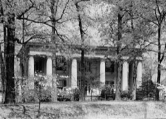 Henry W. Grady HouseNational Historic Landmark · listed 1976
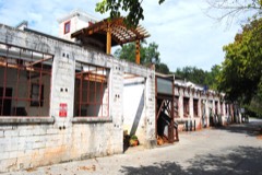 Athens Manufacturing Companylisted 2002
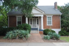 Bishop Houselisted 1972
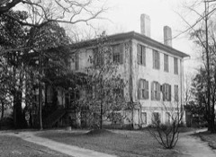 Camak Houselisted 1975
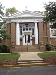 Carnegie Library Buildinglisted 1975
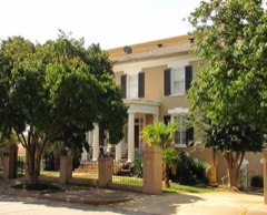 Albon Chase Houselisted 1974
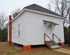 Chestnut Grove Schoollisted 1984
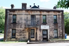 Clarke County Jaillisted 1980
 T. R. R. Cobb House
 Cobb, T.R.R., Houselisted 2013
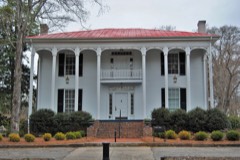 Cobb-Treanor Houselisted 1979
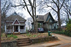 Cobbham Historic Districtlisted 1978
Every listing in Clarke County
Surveyed buildings and structures 12 of 32 shown
- 1234 Lumpkin Street (House), Athensfederal building survey, 1 photograph
- 225 Milledge Avenue (House), Athensfederal building survey, 1 photograph
- 897 Milledge Avenue (House), Athensfederal building survey, 1 photograph
- Camak House, 279 Meigs Street, Athensfederal building survey, 5 photographs
- Charles Hayes House, 1720 South Lumpkin Street, Athensfederal building survey, 1 photograph
- Cobb Institute, Girls' Dormitory, 220 North Milledge Avenue, Athensfederal building survey, 5 photographs
- Dearing House, Athensfederal building survey, 3 photographs
- First Presbyterian Church, Athensfederal building survey, 1 photograph
- General R. D. B. Taylor House, 634 Prince Avenue, Athensfederal building survey, 5 photographs
- Golding-Gerdine House, 129 Dougherty Street, Athensfederal building survey, 1 photograph
- Grant-Hill-White-Bradshaw House, 570 Prince Avenue, Athensfederal building survey, 3 photographs
- H. C. White House, 327 South Milledge Avenue, Athensfederal building survey, 1 photograph
Population over time
2 figuresAthens grew from 115,452 to 127,315 between 2010 and 2020. These are the recorded population figures Wikidata holds for this place, reached through the Geographic Names Information System number this page is keyed on rather than by name, so they belong to this place and not to another of the same name. Most are census counts, but not all are: an early figure may be a founding or settlement estimate, and an estimate published within five years of a census is left out. The change column is computed, and is left blank where more than 20 years separate a figure from the one before it, because a gap that long is not a change between two counts.
| Year | People | Change |
|---|---|---|
| 2010 | 115,452 | |
| 2020 | 127,315 | +11,863 (+10%) |
Topographic sheets covering this place
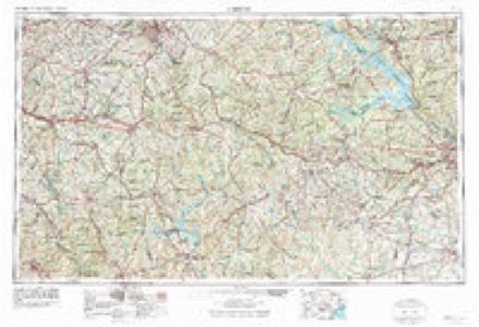
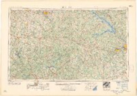
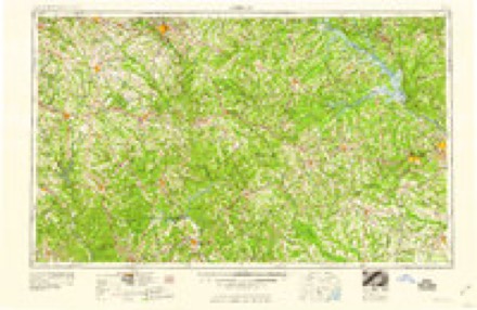
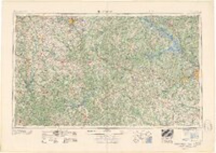
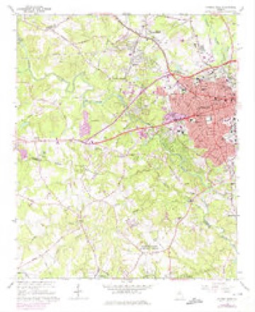
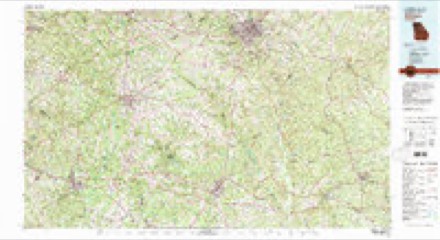
8 surveys from 15 printed sheetsMatched by testing this settlement's coordinate against the published boundary of every sheet in the United States Geological Survey's historical collection. Each opens the scanned sheet at the Survey.
- 1953 USGS Athens quadrangle1:250000, 3 printings
- 1958 USGS Athens quadrangle1:250000
- 1959 USGS Athens quadrangle1:250000
- 1963 USGS Athens quadrangle1:250000
- 1964 USGS Athens West quadrangle1:24000, 5 printings
- 1980 USGS Athens quadrangle1:100000, 2 printings
- 1988 USGS Athens quadrangle1:250000
- 1998 USGS Athens West quadrangle1:24000
What the histories say of this town
32,981 words1 chapter about Athens from the published histories of the county, public domain and reproduced complete.
| Chapter | From | Length |
|---|---|---|
| Clarke County, Ga. and the City of Athens | Clarke County, Ga. and the City of Athens (1893) | 32,981 words in 3 parts |
Photographs
8 of 54 photographs shown, 1939 to 2017Taken for the Office of War Information and the Farm Security Administration, who photographed the country between 1935 and 1944. Works of United States government photographers, with no known restriction on use. Each opens its catalogue record.
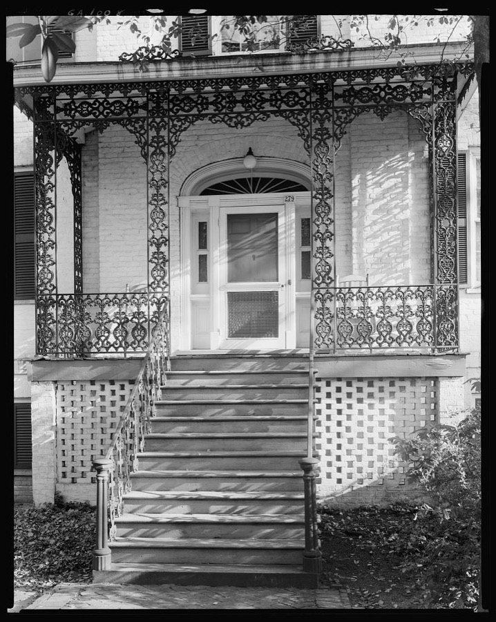
Johnston, Frances Benjamin, 1939. Library of Congress
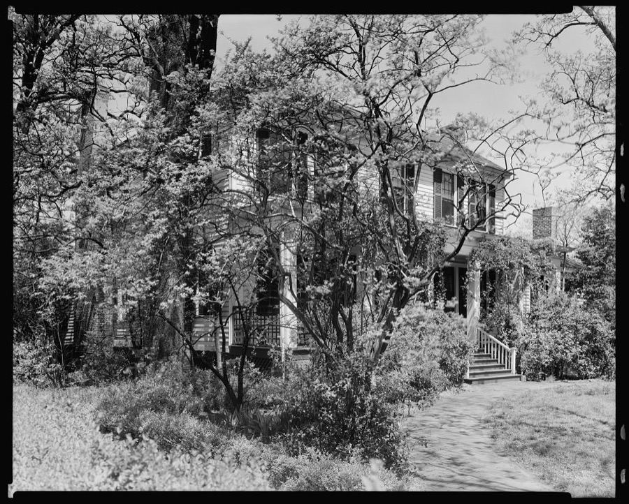
Johnston, Frances Benjamin, 1939. Library of Congress
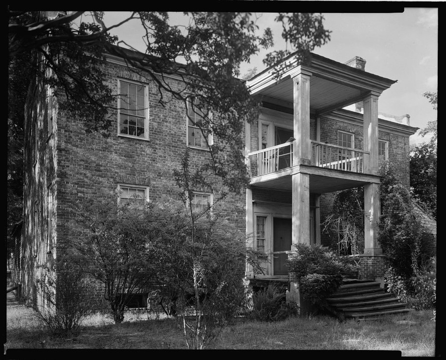
Johnston, Frances Benjamin, 1939. Library of Congress
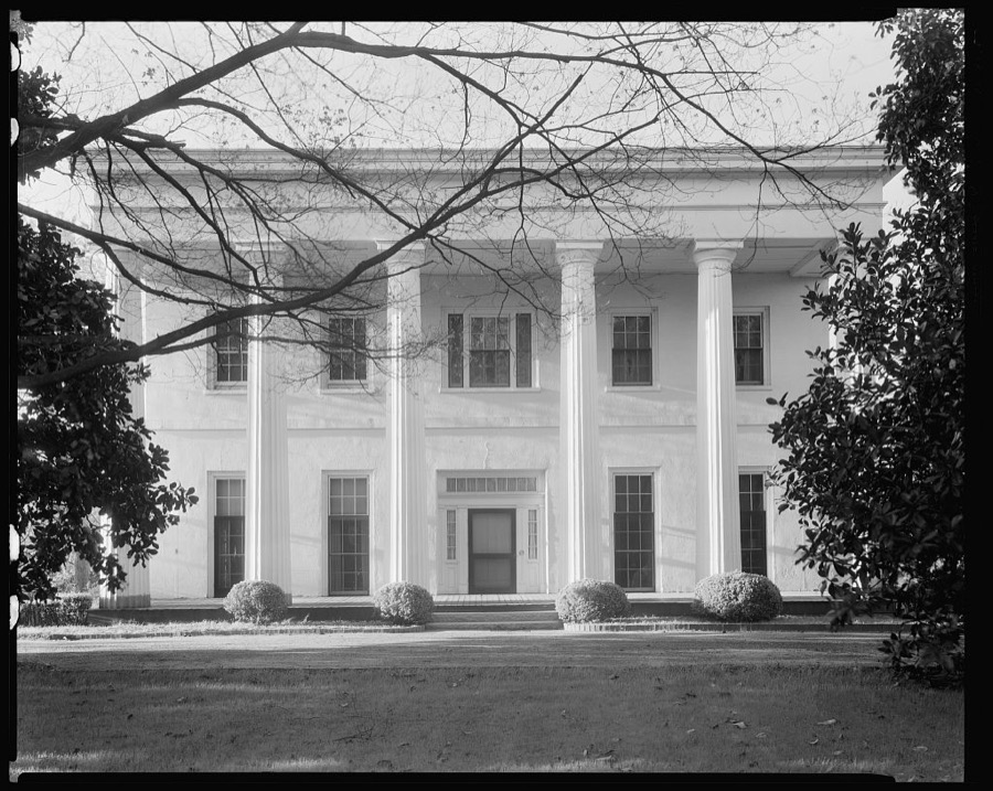
Johnston, Frances Benjamin, 1939. Library of Congress
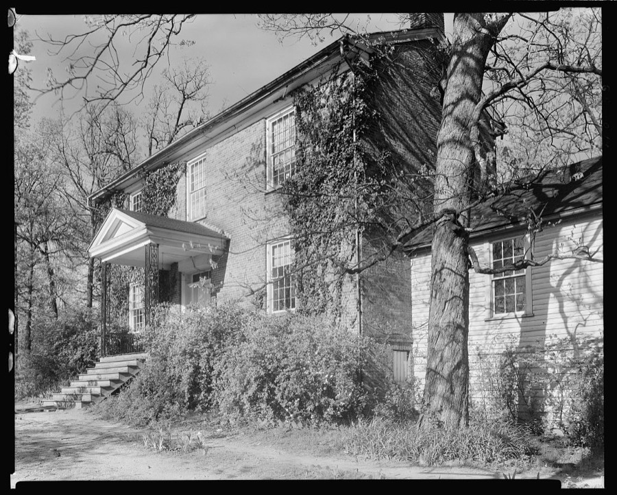
Johnston, Frances Benjamin, 1939. Library of Congress
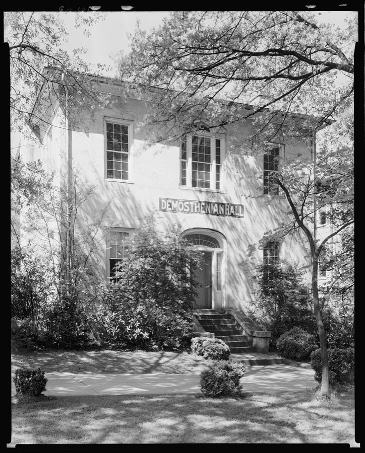
Johnston, Frances Benjamin, 1939. Library of Congress
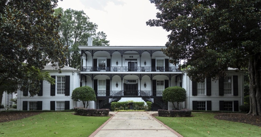
Highsmith, Carol M, 2017. Library of Congress
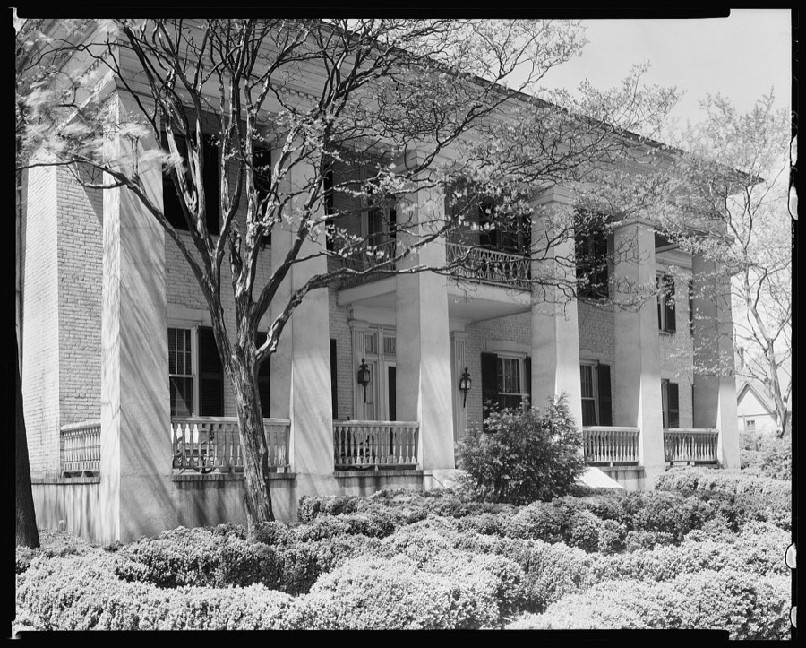
Johnston, Frances Benjamin, 1939. Library of Congress
Every photograph of Clarke County
Fires near this place
88 since 1992Regional context, not property-specific evidence. The federal wildfire occurrence database lists 88 fires within 5 miles of Athens between 1992 and 2017, burning about 216 acres in total. 4 started naturally. 32 were recorded as arson. Distance is straight-line from the map coordinates, so a fire counted here may appear on a neighbouring settlement's page as well.
| Reported cause | Fires |
|---|---|
| Arson/incendiarism | 32 |
| Debris and open burning | 25 |
| Equipment and vehicle use | 9 |
| Misuse of fire by a minor | 6 |
| Natural | 4 |
| Smoking | 4 |
| Missing data/not specified/undetermined | 3 |
| Railroad operations and maintenance | 3 |
| Recreation and ceremony | 2 |
The most recent of them, most recent first, with the day each was reported and the service that recorded it.
| Date | Cause | Size | Reported by | Name on the report |
|---|---|---|---|---|
| 30 September 2007 | Missing data/not specified/undetermined | under an acre | Georgia Forestry Commission | not named |
| 18 September 2003 | Debris and open burning | under an acre | Georgia Forestry Commission | not named |
| 18 September 1993 | Smoking | under an acre | Georgia Forestry Commission | not named |
| 16 September 1998 | Equipment and vehicle use | 4.5 acres | Georgia Forestry Commission | not named |
| 29 August 2011 | Arson/incendiarism | under an acre | Georgia Forestry Commission | FY2012-CLARKE-002 |
| 28 August 2011 | Misuse of fire by a minor | 3.1 acres | Georgia Forestry Commission | FY2012-CLARKE-001 |
| 2 August 2002 | Debris and open burning | under an acre | Georgia Forestry Commission | FY2003-OCONEE-002 |
| 2 August 1995 | Arson/incendiarism | under an acre | Georgia Forestry Commission | not named |
Settlements close enough to share some of these fires:
Mines and quarries near this place
2 within 5 milesRegional context, not property-specific evidence. The federal mineral resources record lists 2 workings within 5 miles of Athens: 1 producer, 1 past producer. 1 still produces. What was taken out: Stone, Crushed/Broken, Iron. Distance is straight-line from the map coordinates, so a quarry counted here may appear on a neighbouring settlement's page as well.
| Where | Site | Commodity | Status | Recorded |
|---|---|---|---|---|
| Athens Quarry | Stone, Crushed/Broken | Producer | ||
| The Georgia Loan & Trust Co. Mine | Iron | Past Producer |
Storms near this place
60 of 88 shownRegional context, not property-specific evidence. The National Weather Service names Athens in 88 storm reports between 1993 and 2025: 51 thunderstorm wind, 26 hail, 3 funnel cloud, 3 lightning. The reports record 1 injury. Each account below is quoted exactly as the forecast office filed it, from the NOAA Storm Events Database, and each date opens the federal record of that event.
| When | Event | Place named | Harm | What the report says |
|---|---|---|---|---|
| May 2023 | Thunderstorm Wind | Athens | 1 hurt | Report of tree falling on person and injuring them near the Oconnee Hill Cemetery. |
| July 2018 | Hail | Athens | $1,000,000 | A report of golf ball size hail in Athens was received on social media. |
| August 2016 | Heavy Rain | Athens | $50,000 | The Athens Banner Herald newspaper reported a portion of the flat roof of the AAMCO Transmissions and Total Car Care building off of West Broad Street or 1.8 miles west to southwest of Athens collapsed due to the weight of heavy rain. It was likely due to clogged storm drains on the roof. |
| July 2013 | Thunderstorm Wind | Athens | $50,000 | The Clarke County Emergency Manager reported that at least 10 trees were blown down on the east side of Athens. One tree and several power poles fell on a house. |
| June 1994 | Thunderstorm Wind | Athens | $50,000 | Thunderstorm winds blew over a large oak tree that fell on a house in Athens. The tree destroyed the roof, air conditioning, knocked the house of its foundation and ripped up the drain line for the septic tank. |
| July 2018 | Thunderstorm Wind | Athens | $25,000 | The Clarke County Emergency Manager and University of Georgia officials reported trees blown down and damage to the ecology building around the campus of the University of Georgia and the city of Athens, stretching east to Winterville around the city park. |
| August 2006 | Thunderstorm Wind | Athens | $25,000 | The public reported that between one and two dozen trees were down in the Athens area as the result of a thunderstorm downburst. Some of the trees fell on mailboxes and one roof was damaged from a downed tree. |
| July 2005 | Thunderstorm Wind | Athens | $25,000 | The public reported that thunderstorm winds had caused extensive damage to trees and power lines in the Green Acre subdivision just southeast of Athens. Numerous trees and power lines were down. Damage was also reported at a Kroger store where the building's sign was damaged and several shopping carts were blown onto cars parked in the parking lot, causing damage to the vehicles. At least 600 residents in the county were left without power during the thunderstorm. |
| June 1998 | Thunderstorm Wind | Athens | $20,000 | Newspaper and public reports indicated lots of tree limbs and some trees were knocked down. Damages occurred to cars and houses. |
| December 2009 | Thunderstorm Wind | Athens | $11,000 | The Clarke County 911 Center reported that two trees were down in the Athens area, one of which landed on a caused damage to a home. Two power lines were also down near Athens. |
| July 2016 | Thunderstorm Wind | Athens | $10,000 | The Clarke County Emergency Manager reported several power lines blown down across the county including along West Hancock Avenue, Calhoun Drive and Lexington Road near Old Lexington Road. |
| August 2016 | Thunderstorm Wind | Athens | $10,000 | The Clarke County Emergency Manager reported numerous trees and power lines blown down across the Athens area. |
| June 2011 | Thunderstorm Wind | Athens | $10,000 | The Clarke County Emergency Management Director reported that at least four trees and over six power lines were down in the Athens area. Much of the city of Athens was left without power for several hours following the damaging thunderstorm winds. |
| June 1995 | Thunderstorm Wind | Athens | $10,000 | Thunderstorm winds knocked down large limbs and blew a hanger door off at the Athens Airport. Gusts of 43 knots were recorded at Weaterh Service Office AHN. |
| August 1999 | Lightning | Athens | $10,000 | no account filed |
| June 2016 | Thunderstorm Wind | Athens | $8,000 | The public reported several 1 to 3 foot diameter trees were snapped by wind between Baxter Street and Sanford Drive on the University of Georgia campus. |
| August 2019 | Thunderstorm Wind | Athens | $7,000 | The Clarke County Emergency Manager reported several trees blown down across northern and western Athens, including near the intersection of Prince Avenue and Talmadge Drive, Pineneedle Road, Sunset Drive and Edwards Drive, and Atlanta Highway at the Athens Perimeter. |
| June 2025 | Thunderstorm Wind | Athens | $5,000 | Areas of the road near the intersection of Bloomfield Street and Hall Street impassable due to several trees down in and along the roadways. |
| July 2023 | Thunderstorm Wind | Athens | $5,000 | Multiple large pine trees toppled at the intersection of Lexington Rd and The Loop. |
| August 2023 | Thunderstorm Wind | Athens | $5,000 | Tree down on mail truck on West Cloverhurst Avenue between S Milledge Avenue and Springdale St. |
| June 2004 | Thunderstorm Wind | Athens | $5,000 | A trained spotter and University of Georgia Student reported that a large oak tree was uprooted onto a home just southwest of the University of Georgia Campus on Springdale Street. The home did sustain some damage. In addition, at least one other large limb (greater than 6 inches in diameter) was blown off another tree in the nearby vicinity |
| November 2004 | Thunderstorm Wind | Athens | $5,000 | The Clarke County 911 Center reported that an extensive number of trees were down in a small area just west of Athens. |
| May 2003 | Thunderstorm Wind | Athens | $5,000 | The Clarke county 911 center reported that a number of trees were down across the northern part of the county. |
| December 2000 | Thunderstorm Wind | Athens | $5,000 | The Athens Daily News reported that a few trees and power lines were blown down. |
| June 1999 | Hail | Athens | $5,000 | The public reported damage to cars and windshields. |
| May 1998 | Hail | Athens | $5,000 | The public reported quarter to golf ball size hail. |
| July 1998 | Thunderstorm Wind | Athens | $5,000 | The Flight Service Station in Athens reported nickel size hail and several 100 foot oak trees down. Winds were estimated at 80 mph. |
| August 1998 | Flood | Athens | $5,000 | Over 3 inches of rain in an hour caused flooding of part of the Baxter Street area. The water rose to door level in areas with poor drainage. Water surged through the street, closing the road to traffic. Minor damage occurred from the rapidly rising water. |
| June 1994 | Thunderstorm Wind | Athens | $5,000 | Numerous trees and power lines were downed in Athens which caused power outages for several hours throughout the city. |
| February 1993 | Thunderstorm Wind | Athens | $5,000 | Several large trees and power lines were downed along Georgia Highway 153. |
| July 2022 | Thunderstorm Wind | Athens | $3,000 | A tree was reported down on Prince Ave between N Milledge Ave and N Chase Street. |
| June 2010 | Thunderstorm Wind | Athens | $3,000 | The Clarke County 911 Center reported that at approximately six trees were down across the far eastern part of the county, mostly in the Winterville area and near the Oglethorpe county line. Trees were down on Danielsvlle Road, Freeman Drive, and near the intersection of North Church Road and Smokey Road. At least two power lines were also down. |
| January 2007 | Thunderstorm Wind | Athens | $3,000 | The Clarke County 911 Center reported that several trees and power lines were down across the north end of the county, including Athens. Trees and power lines were down on Province Road. |
| August 2006 | Thunderstorm Wind | Athens | $3,000 | The Athens Daily Herald reported that thunderstorm wind gusts knocked down several trees and power lines across the city. Power was disrupted to about 6,000 residents. Traffic signals were out of service at 10 intersections within the city. |
| February 1997 | Thunderstorm Wind | Athens | $2,500 | no account filed |
| May 1998 | Hail | Athens | $2,000 | The public reported dime to golf ball size hail. |
| May 1998 | Hail | Athens | $2,000 | no account filed |
| June 2010 | Thunderstorm Wind | Athens | $1,500 | The Clarke County 911 Center reported that six trees were down scattered about the county. |
| July 2006 | Thunderstorm Wind | Athens | $1,500 | The Clarke County 911 Center reported that several large trees were blown down around the city along with a number of tree limbs. |
| April 1997 | Thunderstorm Wind | Athens | $1,500 | no account filed |
| August 2023 | Thunderstorm Wind | Athens | $1,000 | Emergency manager reported a tree down near the intersection of Hooper St and E Campus Rd, which fell on two vehicles. |
| May 2011 | Thunderstorm Wind | Athens | $1,000 | The public reported that one tree was down in Athens and two in Winterville. Several large tree limbs were also down across the University of Georgia south campus area. |
| June 2010 | Thunderstorm Wind | Athens | $1,000 | The Clarke County 911 Center reported that one tree and one power line were down near Athens. |
| August 2007 | Thunderstorm Wind | Athens | $1,000 | The public reported that a portion of siding was blown off a home. Winds were estimated by the public to be 60 mph. Earlier, around 435 pm EDT, a large tree was blown down in Athens. |
| April 2005 | Lightning | Athens | $1,000 | The Clarke County 911 Center reported that a home was struck by lightning. Only minor damage was reported. |
| June 1999 | Thunderstorm Wind | Athens | $1,000 | The state climatologist reported trees were blown down. |
| July 1998 | Thunderstorm Wind | Athens | $1,000 | The Athens Police reported trees were knocked down in the north half of Clarke county. |
| March 1997 | Thunderstorm Wind | Athens | $1,000 | no account filed |
| May 2009 | Thunderstorm Wind | Athens | $750 | The public reported that three trees were blown down within the city of Athens. No structural damage was reported. |
| August 2010 | Lightning | Athens | $500 | The Clarke County Emergency Management Director reported that a lightning strike caused minor damage to a home on Sing Tree Lane. |
| April 2009 | Thunderstorm Wind | Athens | $500 | The public reported that three trees were blown down around Athens. |
| May 2002 | Thunderstorm Wind | Athens | $500 | The Athens police reported that two trees were blown down in the city. |
| July 2000 | Thunderstorm Wind | Athens | $500 | The Athens Daily News reported two trees down. |
| June 1998 | Thunderstorm Wind | Athens | $500 | The Clarke county EMA reported 4 trees down near Old Elberton and Lem Edwards roads. |
| June 2005 | Thunderstorm Wind | Athens | $250 | The Athens Police Department reported that a tree was down on Winterville Road at Glendale Heights blocking the road. |
| February 2003 | Thunderstorm Wind | Athens | $250 | The Clarke county 911 center reported that one tree was blown down in the city. |
| June 2025 | Thunderstorm Wind | Athens | - | A tree fell onto a home in the 500 block of Southview Drive. No injuries. |
| July 2023 | Thunderstorm Wind | Athens | - | A UGA weather stem station located at 100 Sanford Drive measured a 66 mph wind gust. |
| July 2023 | Thunderstorm Wind | Athens | - | Mesonet station 0.6 (miles) SE of Athens, measured a 66 mph peak wind gust. |
| May 2015 | Thunderstorm Wind | Athens | - | Several trees and powerlines blown down near the area around Lexington Road and Oconee Street. |
Nearest settlements
The eight closest, with where each one stands in the county. Distances are straight-line, computed from the Geographic Names Information System coordinates.
| Map | Place | Distance | Sheets |
|---|---|---|---|
| Park View Homes | 0.4 miles | 15 | |
| Unified Government of Athens-Clarke County (Balance) | 0.8 miles | 13 | |
| Cobbham (historical) | 0.9 miles | 15 | |
| Broad Acres | 0.9 miles | 15 | |
| Stonemill Run | 0.9 miles | 13 | |
| Broadacres Homes | 1.1 miles | 15 | |
| Spring Valley Estates | 1.8 miles | 13 | |
| Wonderland Estates | 1.9 miles | 13 |
Elsewhere
Matched on this settlement's Geographic Names Information System number rather than its name, so it cannot be a different place of the same name in another state.
| Wikipedia article on Athens | An encyclopaedic summary. Its text is share-alike, so it is linked here rather than copied. |
| Wikidata item Q203263 | The structured record the population and elevation above come from. Public domain (CC0). |
Provenance
This settlement is recorded in the Geographic Names Information System as feature 354407. The sheet list is computed by point-in-boundary test against the United States Geological Survey's historical topographic inventory. Both are works of the United States government and carry no copyright under 17 U.S.C. 105.
Wildfire. Short, Karen C. 2022. Spatial wildfire occurrence data for the United States, 1992-2020 [FPA_FOD_20221014]. 6th Edition. Fort Collins, CO: Forest Service Research Data Archive. https://doi.org/10.2737/RDS-2013-0009.6 Collected with United States Government funding and usable without additional permissions or fees.
Mines and quarries. USGS Mineral Resources Data System (MRDS) https://mrdata.usgs.gov/mrds/ A work of the United States government, no copyright under 17 U.S.C. 105.
Storms. NOAA National Centers for Environmental Information, Storm Events Database https://www.ncei.noaa.gov/stormevents/ A work of the United States government, no copyright under 17 U.S.C. 105. Narratives are quoted verbatim from the National Weather Service report and are not edited or summarised.