 Block
Augusta, Georgia
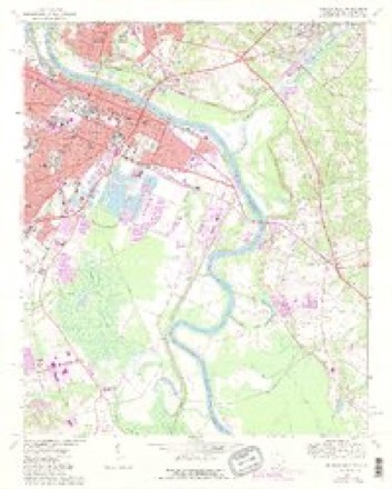
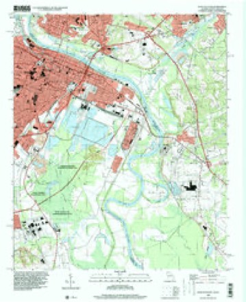
21 topographic sheets cover this place, the earliest surveyed in 1921 and the latest in 1995. It stands in the Augusta census division. It lies in ZIP code area 30901. The Survey maps it on the Augusta East quadrangle. 202,081 people lived here at the 2020 count. It stands 148 feet above sea level.
Research this city
On record in Augusta
Buildings and businesses the archive holds for this place. Each opens its own page, with the source record it came from.
On the National Register 12 of 47 shown
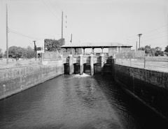 Augusta Canal Industrial DistrictNational Historic Landmark · listed 1971
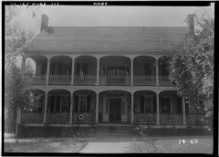 College HillNational Historic Landmark · listed 1971
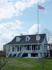 Meadow GardenNational Historic Landmark · listed 1976
 Old Medical College BuildingNational Historic Landmark · listed 1972
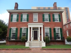 Woodrow Wilson Boyhood HomeNational Historic Landmark · listed 1979
 Academy of Richmond Countylisted 1973
 Academy of Richmond County-1926 Campuslisted 2004
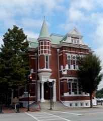 Augusta Cotton Exchange Buildinglisted 1978
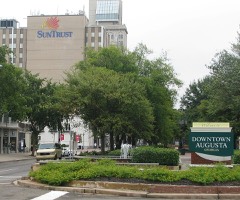 Augusta Downtown Historic Districtlisted 2004
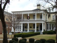 Stephen Vincent Benet Houselisted 1971
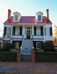 Brahe Houselisted 1973
 Broad Street Historic Districtlisted 1980
Every listing in Richmond County
Surveyed buildings and structures 12 of 78 shown
- 261 Watkins Street (House), Augustafederal building survey, 1 photograph
- 467 Greene Street (House, Ironwork), Augustafederal building survey, 2 photographs
- 708 Walton Way (House), Augustafederal building survey, 5 photographs
- 712 Walton Way (House), Augustafederal building survey, 4 photographs
- 714-716 Walton Way (House), Augustafederal building survey, 2 photographs
- 720 Walton Way (House), Augustafederal building survey, 3 photographs
- 726 Walton Way (House), Augustafederal building survey, 7 photographs
- 730 Walton Way (House), Augustafederal building survey, 3 photographs
- Atlantic Coastline Railroad Freight Warehouse, 1 Ninth Street, Augustafederal building survey, 11 photographs
- Augusta Canal Industrial District, Augustafederal building survey, 2 photographs
- Augusta Canal, Augustafederal building survey, 47 photographs
- Augusta Machine Works, Jackson, Adams, & Campbell Streets, Augusta Canal, Augustafederal building survey, 4 photographs
Population over time
4 figuresAugusta grew from 48,000 to 202,081 between 1980 and 2020. These are the recorded population figures Wikidata holds for this place, reached through the Geographic Names Information System number this page is keyed on rather than by name, so they belong to this place and not to another of the same name. Most are census counts, but not all are: an early figure may be a founding or settlement estimate, and an estimate published within five years of a census is left out. The change column is computed, and is left blank where more than 20 years separate a figure from the one before it, because a gap that long is not a change between two counts.
| Year | People | Change |
|---|---|---|
| 1980 | 48,000 | |
| 1990 | 397,000 | +349,000 (+727%) |
| 2010 | 195,844 | -201,156 (-51%) |
| 2020 | 202,081 | +6,237 (+3%) |
Topographic sheets covering this place
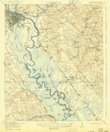
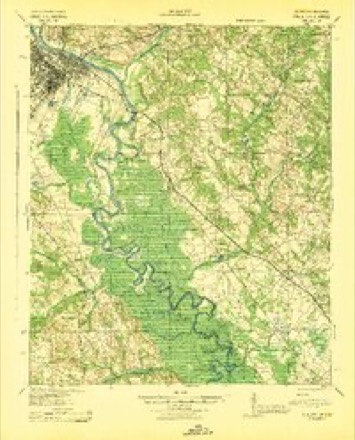
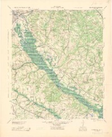
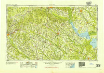
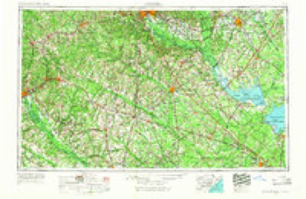
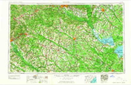
11 surveys from 21 printed sheetsMatched by testing this settlement's coordinate against the published boundary of every sheet in the United States Geological Survey's historical collection. Each opens the scanned sheet at the Survey.
- 1921 USGS Augusta quadrangle1:62500, 5 printings
- 1943 USGS Augusta quadrangle1:62500
- 1943 USGS Augusta East quadrangle1:125000
- 1954 USGS Augusta quadrangle1:250000
- 1957 USGS Augusta quadrangle1:250000, 3 printings
- 1958 USGS Augusta quadrangle1:250000
- 1961 USGS Augusta quadrangle1:250000, 2 printings
- 1962 USGS Augusta quadrangle1:250000
- 1965 USGS Augusta East quadrangle1:24000, 4 printings
- 1982 USGS Barnwell quadrangle1:100000
- 1995 USGS Augusta East quadrangle1:24000
What the histories say of this town
267,338 words1 chapter about Augusta from the published histories of the county, public domain and reproduced complete.
| Chapter | From | Length |
|---|---|---|
| History | Memorial History of Augusta, Georgia : from Its Settlement in 1735 to the Close of the Eighteenth Century / by Charles C. Jones, Jr. LL.D. From the Close of the Eighteenth Century to the Present Time / by Salem Dutcher (1890) | 267,338 words in 17 parts |
Photographs
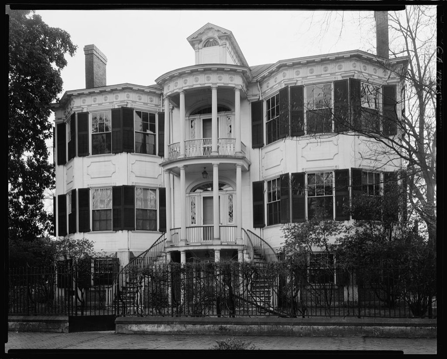
8 of 42 photographs shown, 1939Taken for the Office of War Information and the Farm Security Administration, who photographed the country between 1935 and 1944. Works of United States government photographers, with no known restriction on use. Each opens its catalogue record.
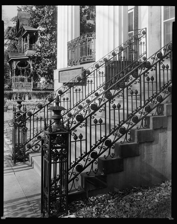
Johnston, Frances Benjamin, 1939. Library of Congress
Johnston, Frances Benjamin, 1939. Library of Congress
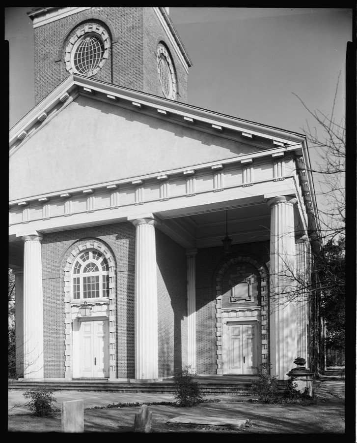
Johnston, Frances Benjamin, 1939. Library of Congress
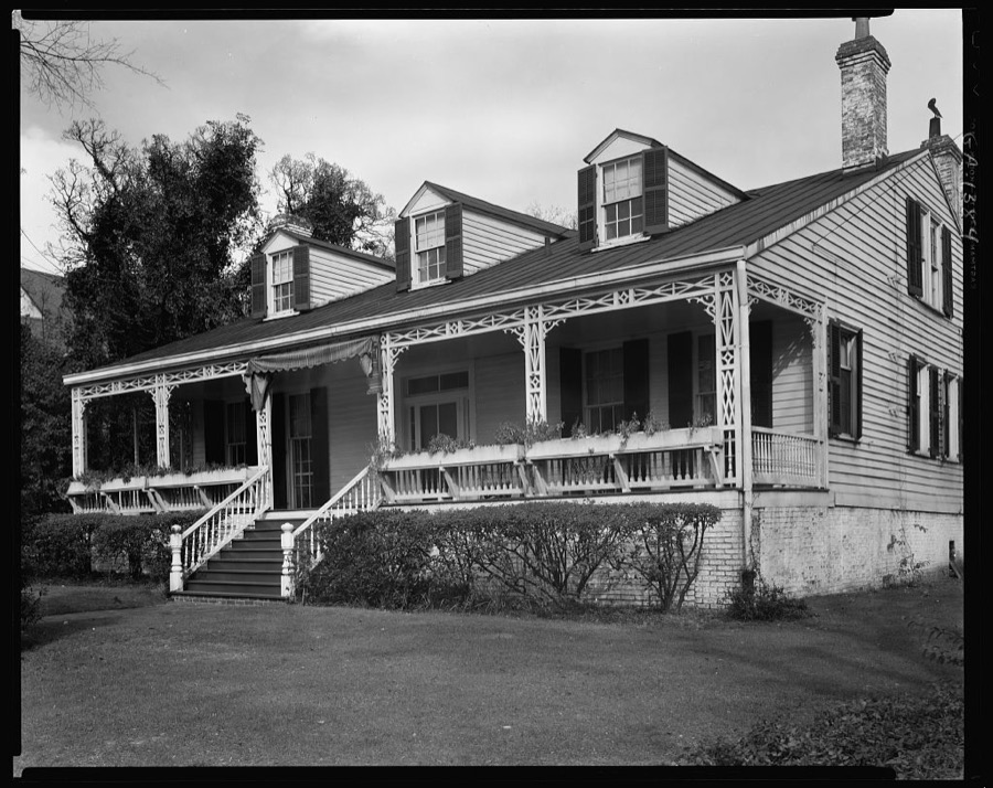
Johnston, Frances Benjamin, 1939. Library of Congress
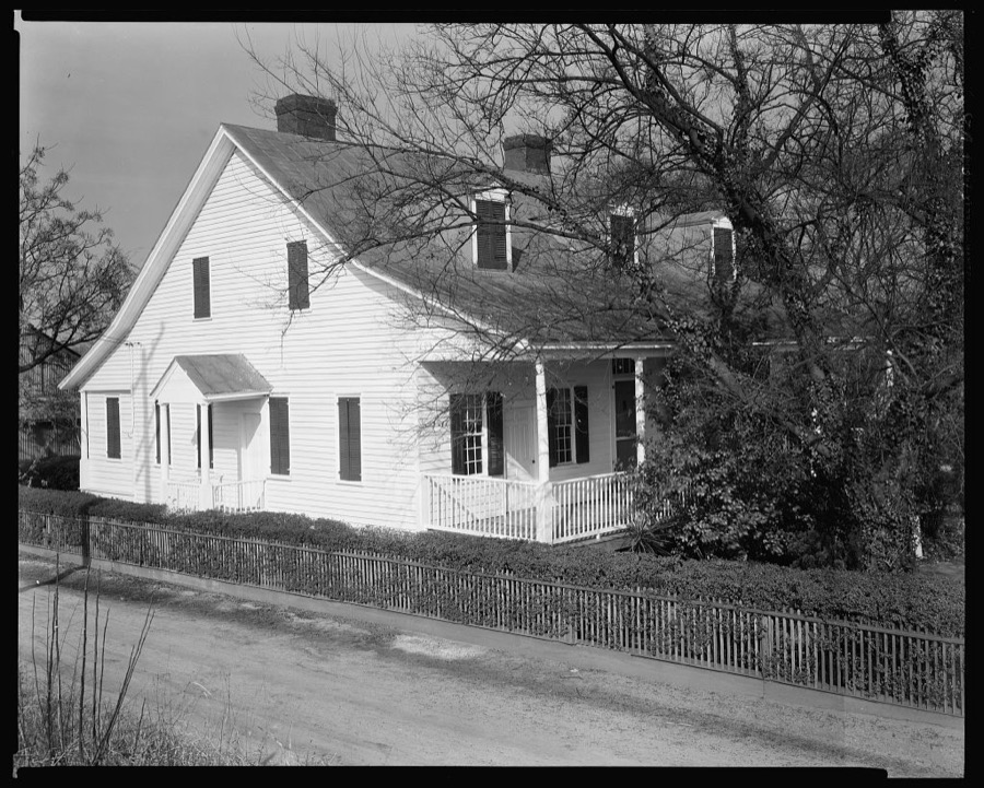
Johnston, Frances Benjamin, 1939. Library of Congress
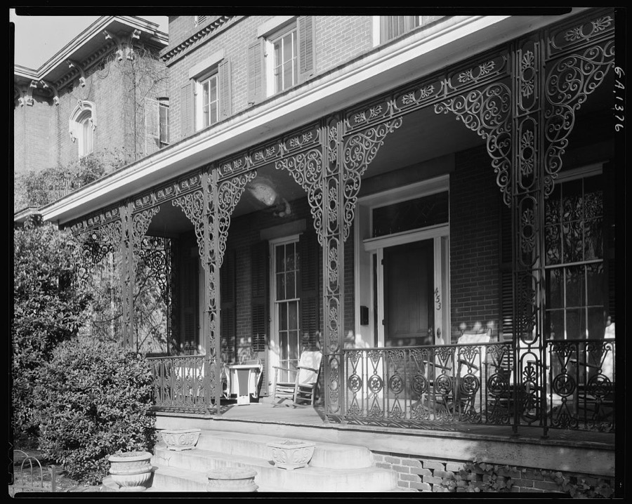
Johnston, Frances Benjamin, 1939. Library of Congress
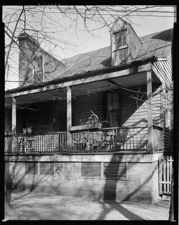
Johnston, Frances Benjamin, 1939. Library of Congress
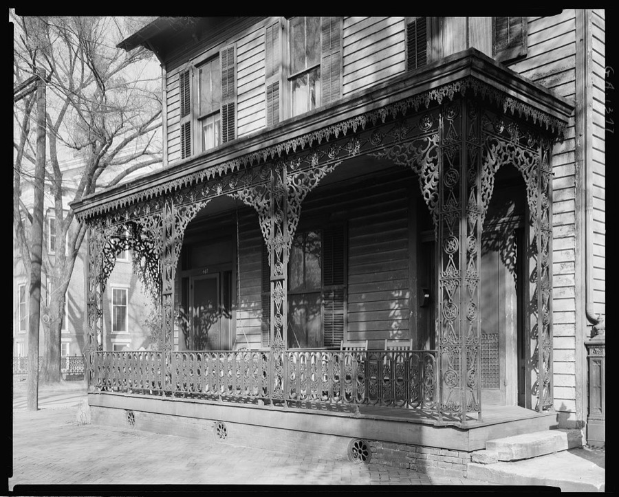
Johnston, Frances Benjamin, 1939. Library of Congress
Every photograph of Richmond County
Fires near this place
199 since 1992Regional context, not property-specific evidence. The federal wildfire occurrence database lists 199 fires within 5 miles of Augusta between 1992 and 2020, burning about 610 acres in total. 2 started naturally. 45 were recorded as arson. Distance is straight-line from the map coordinates, so a fire counted here may appear on a neighbouring settlement's page as well.
| Reported cause | Fires |
|---|---|
| Missing data/not specified/undetermined | 50 |
| Debris and open burning | 46 |
| Arson/incendiarism | 45 |
| Misuse of fire by a minor | 32 |
| Equipment and vehicle use | 11 |
| Smoking | 5 |
| Other causes | 3 |
| Natural | 2 |
| Recreation and ceremony | 2 |
| Fireworks | 1 |
| Power generation/transmission/distribution | 1 |
| Railroad operations and maintenance | 1 |
The most recent of them, most recent first, with the day each was reported and the service that recorded it.
| Date | Cause | Size | Reported by | Name on the report |
|---|---|---|---|---|
| 9 September 1997 | Arson/incendiarism | 2.0 acres | Georgia Forestry Commission | not named |
| 7 September 2002 | Debris and open burning | under an acre | Georgia Forestry Commission | FY2003-RICHMOND-015 |
| 6 September 1999 | Misuse of fire by a minor | under an acre | South Carolina Forestry Commission | not named |
| 6 September 1999 | Misuse of fire by a minor | under an acre | South Carolina Forestry Commission | not named |
| 24 September 2012 | Debris and open burning | 1.2 acres | Georgia Forestry Commission | FY2013-RICHMOND-002 |
| 2 September 2011 | Arson/incendiarism | 2.7 acres | Georgia Forestry Commission | FY2012-RICHMOND-012 |
| 2 September 1993 | Arson/incendiarism | under an acre | Georgia Forestry Commission | not named |
| 18 September 2001 | Misuse of fire by a minor | 1.0 acres | South Carolina Forestry Commission | not named |
Settlements close enough to share some of these fires:
Mines and quarries near this place
10 of 21 shownRegional context, not property-specific evidence. The federal mineral resources record lists 21 workings within 5 miles of Augusta: 7 past producers, 6 occurrences, 4 unknowns, 4 producers. 4 still produce. What was taken out: Sand and Gravel, Construction, Clay, Brick Clay, Fire Clay (Refractory). Distance is straight-line from the map coordinates, so a quarry counted here may appear on a neighbouring settlement's page as well.
| Where | Site | Commodity | Status | Recorded |
|---|---|---|---|---|
| Clay Preparation Plant | Fire Clay (Refractory) | Past Producer | ||
| Foster's Lane Pit | Brick Clay | Occurrence | ||
| Horse Creek | Titanium, Zirconium, REE, Thorium | Unknown | Placer-Modern-Fluvial | |
| Horse Creek | REE | Past Producer | ||
| Unidentified Mine(Horse Creek Mine) | Zirconium, Sand and Gravel, Construction, REE, Titanium | Past Producer | Sedimentary Kaolin | |
| Merry Companies Mine | Clay | Producer | ||
| Merry Pit 4 | Clay | Producer | ||
| North Augusta Mine | Clay | Past Producer | ||
| Richmond County Mine | Clay | Past Producer | ||
| Unidentified Mine | Clay | Past Producer | Sedimentary Kaolin |
Storms near this place
60 of 92 shownRegional context, not property-specific evidence. The National Weather Service names Augusta in 92 storm reports between 1993 and 2025: 54 thunderstorm wind, 27 hail, 7 flash flood, 2 tornado. The reports record 1 death and 44 injuries. Each account below is quoted exactly as the forecast office filed it, from the NOAA Storm Events Database, and each date opens the federal record of that event.
| When | Event | Place named | Harm | What the report says |
|---|---|---|---|---|
| July 2007 | Thunderstorm Wind | Augusta | 1 killed, 4 hurt | Sheriff reported trees and powerlines down. One man died when storms swept across the area. 40-year-old Robert Walker was riding his bike when a tree fell, killing him.|Nearby, there were four others trapped in a store on the corner of 11th and Dugas Street. Inmate crews were out for hours today cleaning up the mess.|The tree that leveled the corner store was completely uprooted. Two men and two children were inside the building and were injured when it collapsed.| |
| June 2011 | Thunderstorm Wind | Augusta | 24 hurt, $12,000 | Sheriff reported trees and powerlines down around the Augusta area. About 24 soldiers at Ft. Gordon were injured from debris crashing into their tents and were taken to the Dwight D. Eisenhower Army Medical Center for treatment. |
| December 2000 | Tornado (F2) | Augusta | 8 hurt | An F2 tornado intermittently touched down along a 2 mile path. Extensive damage was done to the Timberidge subdivision and to other homes and mobile homes along its path. Eight people were injurred, one seriously. There were no deaths. |
| May 1995 | Thunderstorm Wind | Augusta | 4 hurt, $2,000 | Thunderstorm winds knocked over several large tree limbs. Four people suffered minor injuries when a large limb fell on their car. |
| July 2012 | Lightning | Augusta | 3 hurt, $160,000 | Lightning struck the roof of SunBelt Auto Center in Augusta. The lightning rippled through the interior of the facility injuring a few people. Then the wind blew out the cracked windows. Ken Harris, the general manager, was blead out of his arm and a little bit on his head. Harris said he couldn't believe the devastation. |
| May 2002 | Thunderstorm Wind | Augusta | 1 hurt, $18,000 | A tree fell on a vehicle with a woman inside who had minor injuries. The car was totalled. The event occurred on Walton Way. |
| February 2012 | Thunderstorm Wind | Augusta | $120,000 | EM, Sheriff, and SKYWARN spotters reported numerous trees and powerlines down in the Augusta area. Several homes and vehicles had trees on them and 2 people were injured when a tree fell on them. |
| May 1993 | Tornado (F0) | Augusta | $50,000 | A short lived tornado touched down on old trail road along the Richmond-Columbia county line. One home and two cars were damaged by toppled trees. |
| May 1993 | Thunderstorm Wind | Augusta | $50,000 | Numerous large trees were blown down along Interstate 20 with damage to one vehicle and a house. |
| June 2010 | Thunderstorm Wind | Augusta | $40,000 | Augusta Chronicle reported a downburst damaged the Homechoice Partners building on Washington road and also damaged a couple of vehicles. |
| July 2015 | Thunderstorm Wind | Augusta | $24,000 | WRDW reported a tree fell on a home causing some damage. |
| June 1995 | Thunderstorm Wind | South Augusta | $18,000 | Thunderstorm winds blew large limbs and several utility poles down throughout the city. A field light pole at May park was nearly sheared in half by thunderstorm winds. Electricity was knocked out for nearly 6,300 customers for two hours. |
| February 2012 | Hail | Augusta | $15,000 | WJBF reported golf ball size hail in Augusta and the surrounding area. |
| April 1997 | Hail | Augusta | $10,000 | no account filed |
| June 2009 | Thunderstorm Wind | Augusta | $6,000 | SKYWARN spotters reported trees and powerlines down around Augusta, especially on Lumpkin road on the south side of town. |
| June 1994 | Thunderstorm Wind | Augusta | $5,000 | Several large trees were downed by thunderstorm winds. |
| June 1994 | Thunderstorm Wind | Augusta | $5,000 | Numerous trees were downed by thunderstorm winds along Barton Chapel and Deans Bridge Roads. |
| May 1993 | Thunderstorm Wind | Augusta | $5,000 | Several large trees were blown down near Augusta National Golf Course along Interstate 20. |
| May 1993 | Thunderstorm Wind | Augusta | $5,000 | Numerous large trees were blown down along U.S. Highway 78. |
| July 2010 | Thunderstorm Wind | Augusta | $4,000 | Sheriff reported trees down around the city, especially on the north and east side. |
| December 2009 | Thunderstorm Wind | Augusta | $4,000 | Sheriff reported trees down in many loactions. |
| August 2009 | Thunderstorm Wind | Augusta | $2,000 | TV 26 in Augusta reported large limbs down on Broad Street and some trees down on Green street. |
| December 1997 | Flash Flood | Augusta | $2,000 | Flash flooding along several creeks flooded several highways including Richmond Hill road. |
| June 2014 | Flash Flood | Augusta | $1,000 | Public reported flash flooding on Broad and 4th streets temporarily closing them. |
| July 2023 | Flash Flood | Augusta | $500 | Laney Walker Blvd Ext at E Boundary St, and E Boundary St and Sibley St, were closed due to flooding. Time estimated. |
| June 1995 | Thunderstorm Wind | Augusta | $500 | Thunderstorm winds knocked down trees reported by a storm spotter. |
| July 1995 | Thunderstorm Wind | Augusta | $500 | Thunderstorm winds knocked trees and powerlines down within McBean. |
| June 2025 | Thunderstorm Wind | Augusta | - | Richmond County dispatch reported trees down at the intersection of 2nd St and Broad St. Time estimated by radar. |
| September 2017 | Hail | Augusta | - | Dime to quarter size hail reported by the public. Report relayed via adjacent NWS office. |
| July 2016 | Thunderstorm Wind | Augusta | - | A social media report through the media indicated large trees down along the 300 block of Broad Street in Augusta. |
| September 2014 | Heavy Rain | Augusta | - | An automated rain gage at Augusta reported 1.53 inches of rain in an hour. |
| October 2010 | Thunderstorm Wind | Augusta | - | Augusta Chronicle reported large limbs down in the downtown area. |
| July 2010 | Hail | Augusta | - | SKYWARN spotter reported nickel size hail on Reynolds Road. |
| August 2009 | Hail | Augusta | - | EM reported penny size hail downtown. |
| March 2008 | Thunderstorm Wind | Augusta | - | A downburst took the roof off a building and damaged several others. The roof at Josey High School was damaged. There were also took down trees and powerlines. There were no injuries. |
| May 2008 | Hail | Augusta | - | Public reported half dollar size hail in downtown Augusta. |
| May 2008 | Thunderstorm Wind | Augusta | - | Sheriff reported trees and powerlines down in Augusta. |
| June 2008 | Thunderstorm Wind | Augusta | - | EM reported trees down on vehicles in the Country Club Hills area. |
| June 2007 | Hail | Augusta | - | Public reported quarter size hail in the Augusta metro area. |
| February 2007 | Hail | Augusta | - | SKYWARN spotter reported nickel size hail. |
| July 2006 | Thunderstorm Wind | Augusta | - | GA Power reported powerlines down near Martinez. |
| July 2006 | Thunderstorm Wind | Augusta | - | Public reported trees and powerlines down. |
| February 2005 | Hail | Augusta | - | SKYWARN spotter reported nickel size hail. |
| May 2005 | Thunderstorm Wind | Augusta | - | TV26 reported several trees down around the city. |
| April 2005 | Hail | Augusta | - | Public reported 1/2 inch hail on Peach Tree road and Peach Pond road. |
| April 2005 | Thunderstorm Wind | Augusta | - | Public reported couple of trees down and shingles blow off roof. |
| August 2005 | Thunderstorm Wind | Augusta | - | Sheriff reported a couple of trees down just east of Daniel Field. |
| May 2004 | Thunderstorm Wind | Augusta | - | EM reported trees and powerlines down in Augusta. |
| November 2003 | Thunderstorm Wind | Augusta | - | TV meteorologist reported large limbs and power lines down in south Augusta. |
| February 2003 | Thunderstorm Wind | Augusta | - | EOC reported trees and powerlines down in west Augusta. |
| May 2003 | Hail | Augusta | - | DOE employee reported 1 inch hail on Gordon Highway. |
| May 2003 | Thunderstorm Wind | Augusta | - | SKYWARN spotter reported large branches down on Tobacco road in Augusta. |
| May 2003 | Flash Flood | Augusta | - | SKYWARN spotter reported high water covering one area of US 1 and Bobby Jones Highway. |
| July 2003 | Thunderstorm Wind | Augusta | - | Sheriff reported trees down on Brown road. |
| August 2003 | Flash Flood | Augusta | - | Sheriff reported 2 residences flooded on Jennifer Court. Street flooding also occurred throughout the city. |
| March 2002 | Hail | Augusta | - | Spotter reported golf ball size hail in west Augusta. |
| March 2002 | Hail | Augusta | - | General public reported dime size hail in Augusta. |
| March 2002 | Hail | Augusta | - | Spotter reported 3/4 inch hail in Augusta. |
| June 2002 | Hail | Augusta | - | HAM operater reported golf ball size hail in northwest Augusta.along Riverwatch Parkway. |
| May 2002 | Thunderstorm Wind | Augusta | - | Spotter recorded gust to 70mph at home. |
Newspapers printed here
46,873 digitised pages8 papers published in this town, digitised by the Library of Congress and free to read: 5,683 issues, 46,873 pages. Every page is searchable, so a name or a street can be looked for directly in what the town printed about itself at the time.
| Newspaper | Published |
|---|---|
| The Augusta Courier | 1946 to 1974 |
| The Weekly Loyal Georgian | 1867 to 1868 |
| The Colored American | 1865 to 1866 |
| The Loyal Georgian | 1866 to 1867 |
| The Loyal Georgian | 1867 |
| The Augusta Union | 1889 to 19?? |
| Trench and Camp | 1917 to 1919 |
| The Georgia Baptist | 1880 to 1??? |
What the paper printed
49,094 wordsFront pages of the local paper, read from the Library of Congress scans: 17 issues spread across its run from 1865 to 1919, 49,094 words in total. Each is reproduced on its own page, exactly as the recogniser returned it.
These pages read less well than anything else here, and the number is worth stating: about three words in four come through cleanly, against nine in ten for the building records. An 1896 broadsheet sets eight-point type in seven columns on microfilm, which is the hardest thing in this archive to read by machine. We tested our own recognisers against the Library's and they were not better, so the Library's text is what appears, with the wholly unreadable columns removed. Read it as a guide to what the paper covered, and follow the link to the scan before quoting anything.
| Issue | Paper | Length |
|---|---|---|
| 1865-12-30 | The Colored American | 1,817 words |
| 1866-01-27 | The Loyal Georgian | 3,838 words |
| 1866-10-13 | The Loyal Georgian | 2,952 words |
| 1867-07-06 | The Loyal Georgian | 1,584 words |
| 1867-05-09 | The Loyal Georgian | 2,870 words |
| 1867-05-16 | The Loyal Georgian | 3,875 words |
| 1900-01-27 | The Augusta Union | 3,423 words |
| 1867-08-24 | The Weekly Loyal Georgian | 8,582 words |
| 1917-10-10 | Trench and Camp | 581 words |
| 1917-10-31 | Trench and Camp | 3,181 words |
| 1917-11-28 | Trench and Camp | 1,972 words |
| 1917-12-19 | Trench and Camp | 2,235 words |
| 1919-02-05 | Trench and Camp | 4,805 words |
| 1898-03-24 | The Georgia Baptist | 1,842 words |
| 1898-05-26 | The Georgia Baptist | 1,486 words |
| 1898-08-25 | The Georgia Baptist | 1,955 words |
| 1898-10-27 | The Georgia Baptist | 2,096 words |
Nearest settlements
The eight closest, with where each one stands in the county. Distances are straight-line, computed from the Geographic Names Information System coordinates.
| Map | Place | Distance | Sheets |
|---|---|---|---|
| Gordon Park | 1.1 miles | 21 | |
| Oglethorpe Homes | 1.4 miles | 20 | |
| Eastview | 1.8 miles | 21 | |
| Hillside Park | 1.8 miles | 20 | |
| Turrin Hill | 2.0 miles | 21 | |
| Olmstead Homes | 2.0 miles | 20 | |
| Marion Homes | 2.3 miles | 21 | |
| Summerville | 2.3 miles | 20 |
Elsewhere
Matched on this settlement's Geographic Names Information System number rather than its name, so it cannot be a different place of the same name in another state.
| Wikipedia article on Augusta | An encyclopaedic summary. Its text is share-alike, so it is linked here rather than copied. |
| Wikidata item Q181962 | The structured record the population and elevation above come from. Public domain (CC0). |
Provenance
This settlement is recorded in the Geographic Names Information System as feature 310670. The sheet list is computed by point-in-boundary test against the United States Geological Survey's historical topographic inventory. Both are works of the United States government and carry no copyright under 17 U.S.C. 105.
Wildfire. Short, Karen C. 2022. Spatial wildfire occurrence data for the United States, 1992-2020 [FPA_FOD_20221014]. 6th Edition. Fort Collins, CO: Forest Service Research Data Archive. https://doi.org/10.2737/RDS-2013-0009.6 Collected with United States Government funding and usable without additional permissions or fees.
Mines and quarries. USGS Mineral Resources Data System (MRDS) https://mrdata.usgs.gov/mrds/ A work of the United States government, no copyright under 17 U.S.C. 105.
Storms. NOAA National Centers for Environmental Information, Storm Events Database https://www.ncei.noaa.gov/stormevents/ A work of the United States government, no copyright under 17 U.S.C. 105. Narratives are quoted verbatim from the National Weather Service report and are not edited or summarised.