Georgia within the United StatesRichmond County within Georgia
Explore by year
What the record shows
1 place in this county was surveyed for fire insurance: Augusta, between 1884 and 1955.
13 fire insurance atlases survive for the county. Topographic coverage is national; fire insurance survey reached only incorporated places with something worth insuring.
2,838 topographic sheet readings cover the county's settlements.
51 properties here are on the National Register of Historic Places: 36 buildings and 15 districts.
19 of the 51 listings were added during the 1970s.
The Geographic Names Information System records 137 populated places in this county; 137 are covered by at least one topographic sheet.
What happened here
3 accounts
Among them: Chapter Xii; Chapter Xxiv; The Medical Profession. Concluded. These passages come from the
identified county-history source books. Each inset names its own source
and opens the exact section it comes from.
Military Operations Culminating in the Surrender of Savannah - Plot to Murder Colonel Jackson - Celebration in Augusta upon the Acknowledgment of the Independence of the United States - Charge of Chief Justice Walton - Early Legislation Aftecting Augusta - The City of Augusta Incorporated in 1798 - Trustees, Intendants, and Mayors of Augusta 1 27
The Medical Profession Concluded - The Yellow Fever Epidemic of 1854 - Portability of Fever Germ - Dr. Campbell's Theory of Quarantine - Board of Health - The Sewer System - Decrease in Death Rate - Southern Medical and Surgical Journal - Eminent Physicians - Milton Antony - Fendall - Cunningham - Watkins - Carter - Garvin - Newton - Dugas - Ford - Eve - Augusta's Present Faculty 262
The Yellow Fever Epidemic of 1854 - Portability of Fever Germ - Dr. Campbell's Theory of Quarantine - Board of Health - The Sewer System - Decrease in Death RaXt - Southern Medical and Surgical Journal - Eminent Physicians - Milton Antony - Fendall - Cunningham - Watkins - Carter - Garvin - Newton - Dugas - Ford - Eve - Augusta's Present Faculty.
Taken for the Office of War Information and
the Farm Security Administration, who photographed the country between
1935 and 1944. Works of United States government photographers, with no
known restriction on use. Each opens its catalogue record.
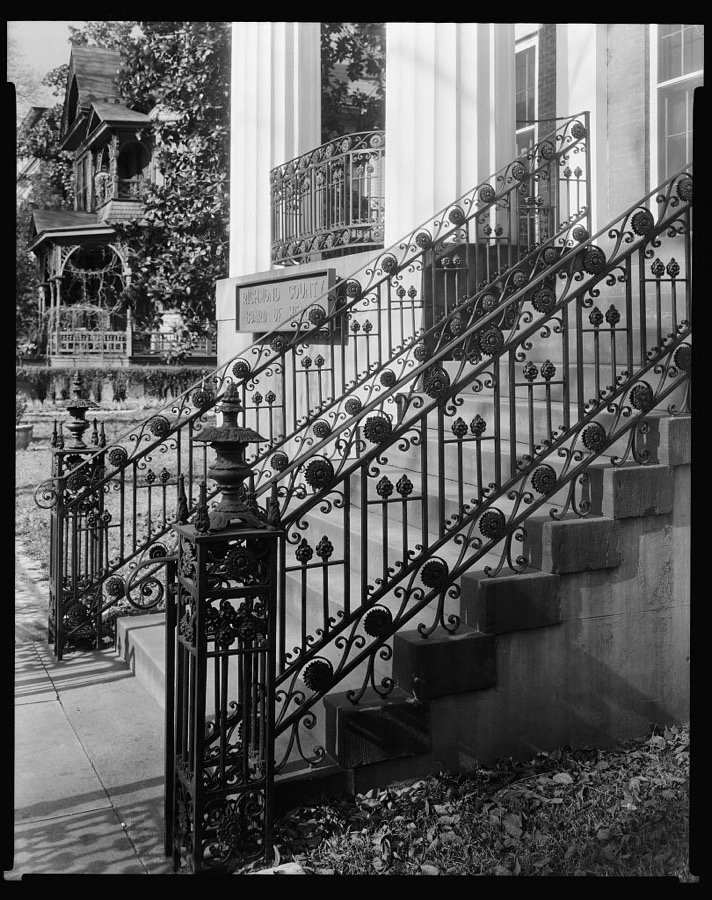
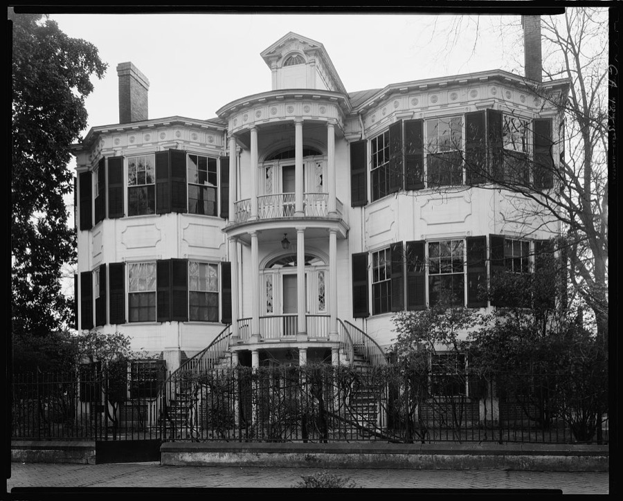
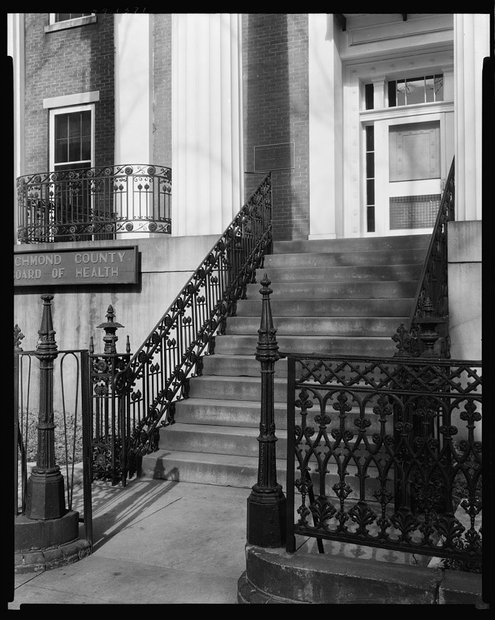
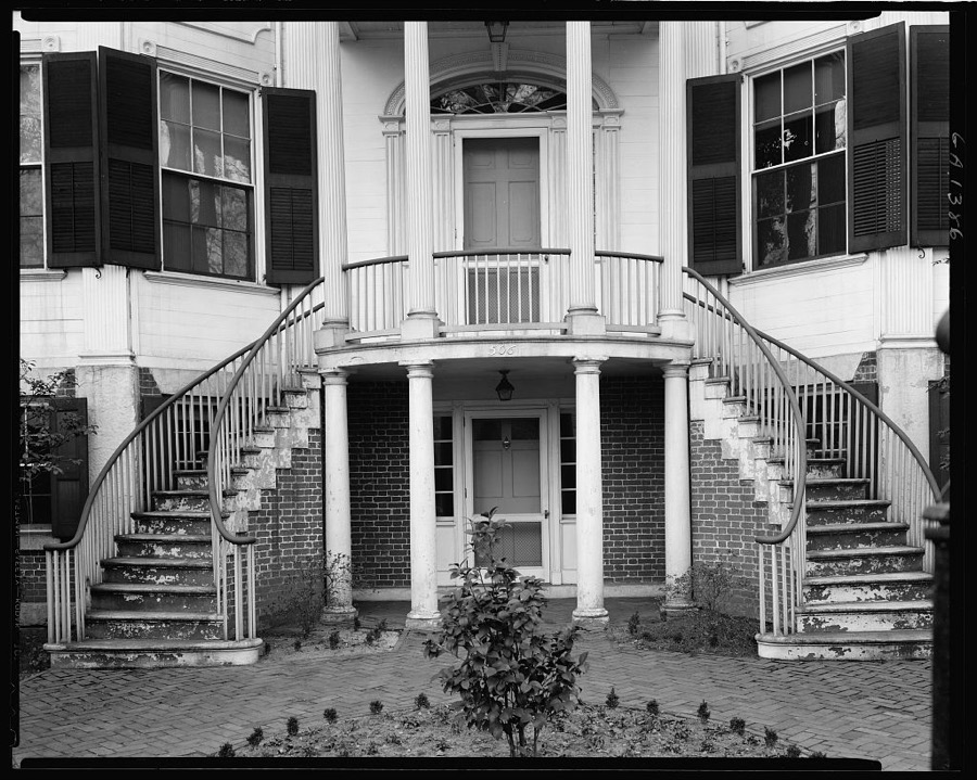
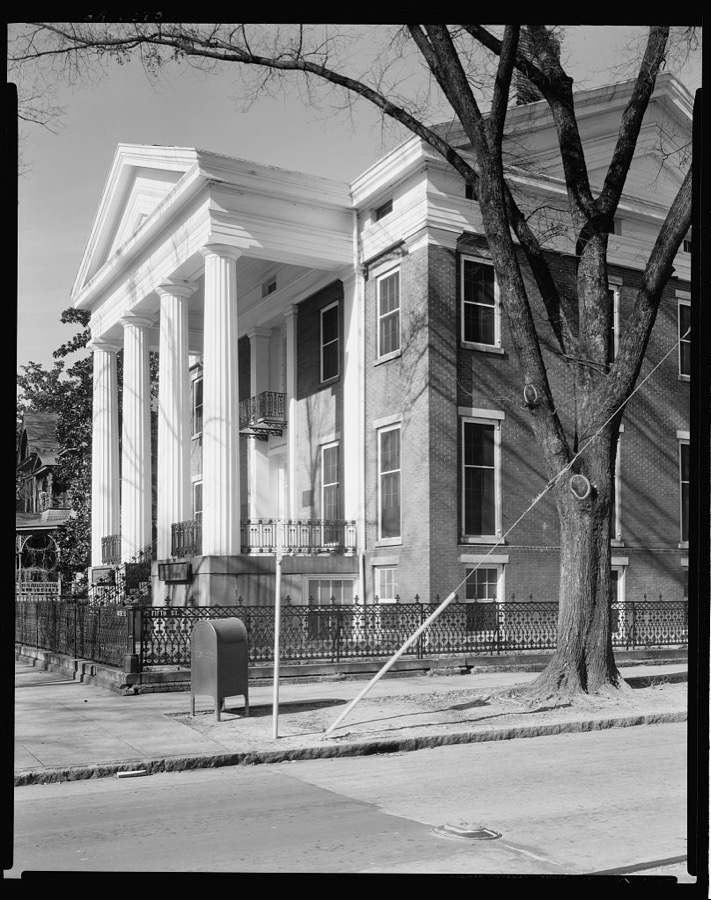
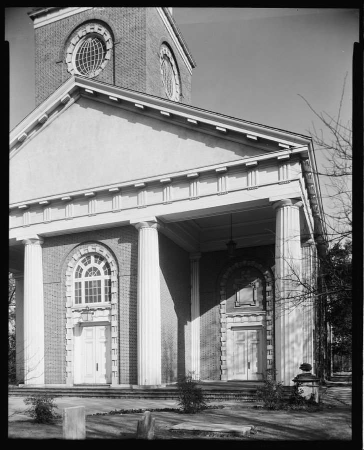
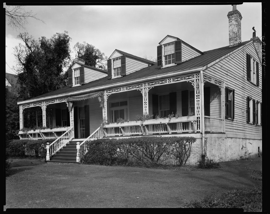
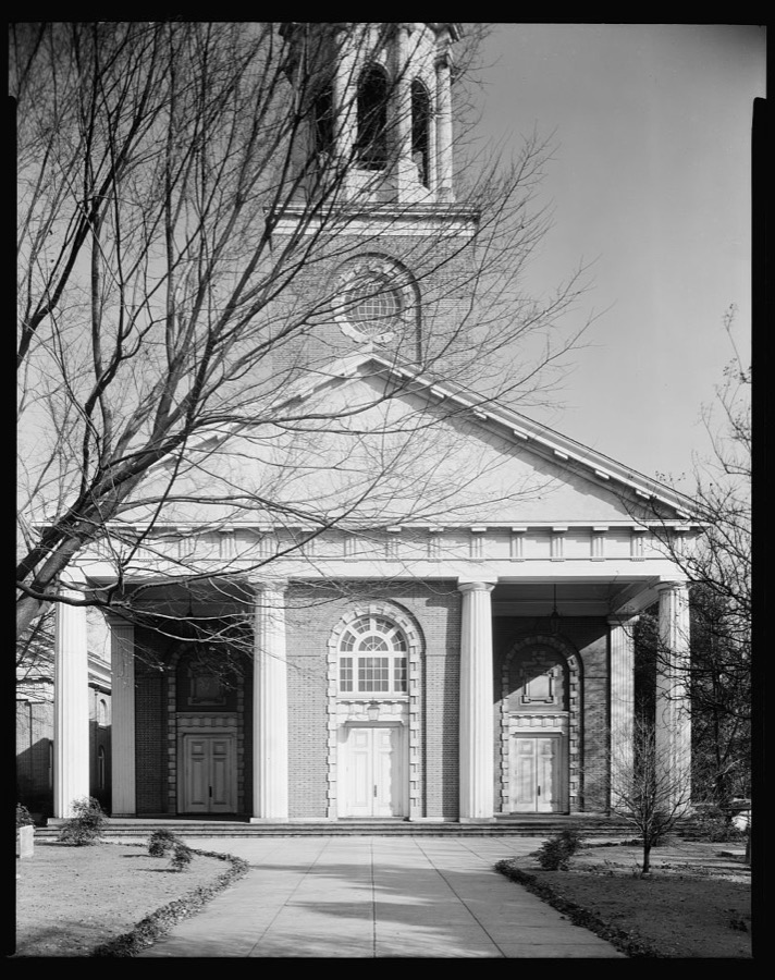
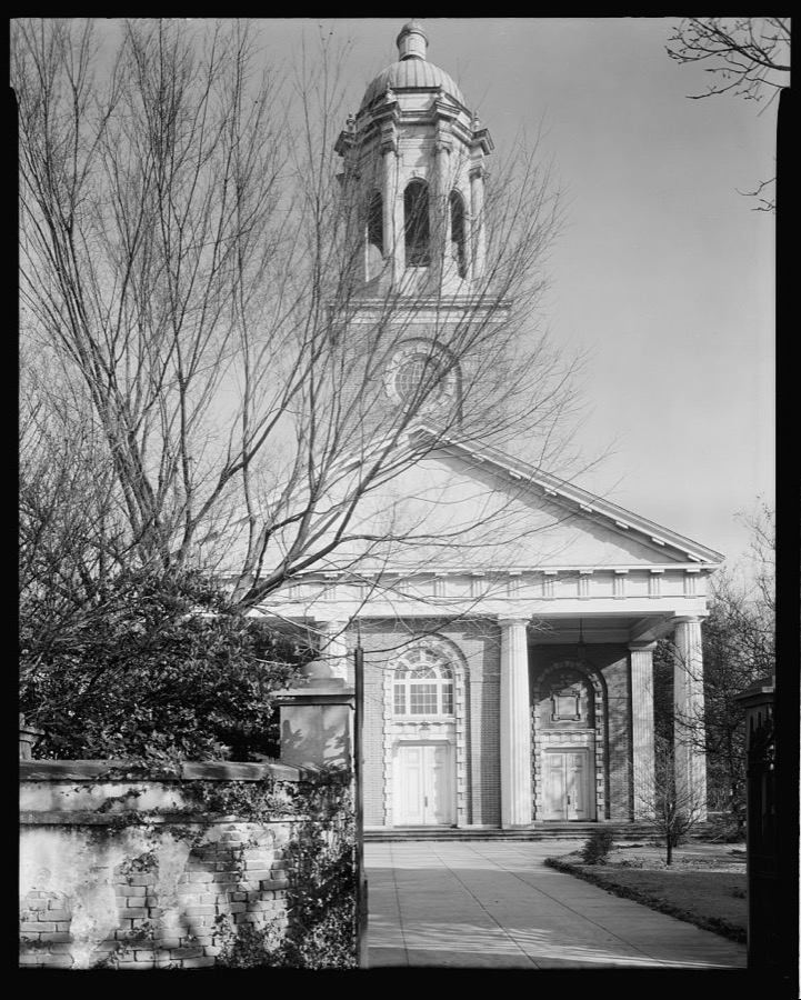
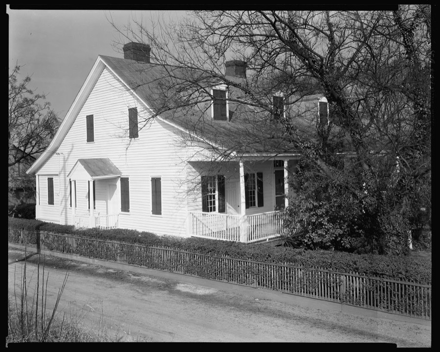
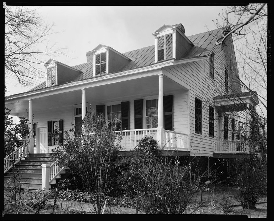
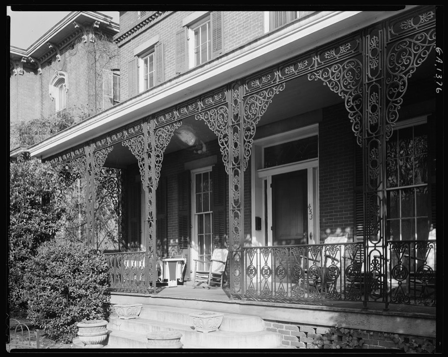
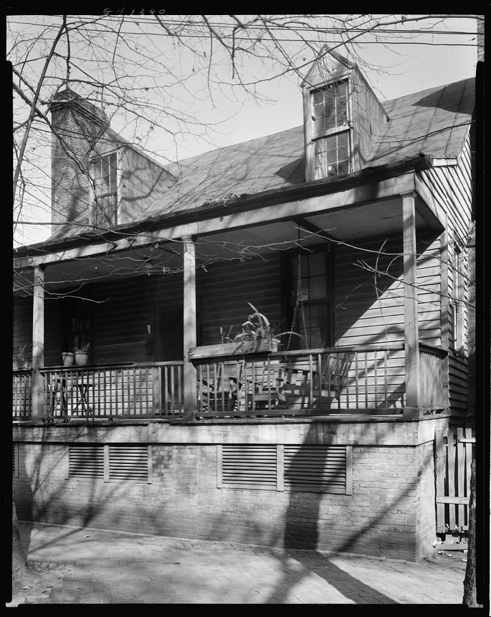
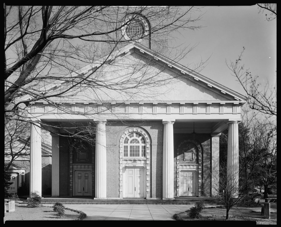
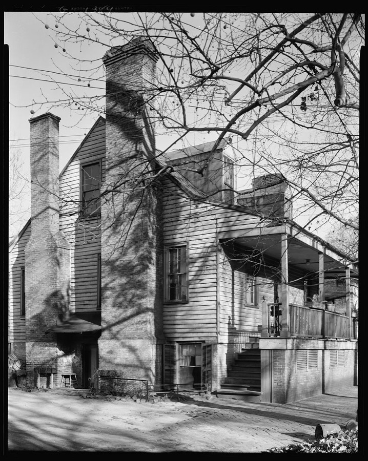
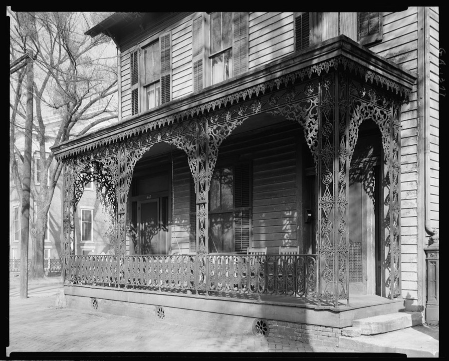
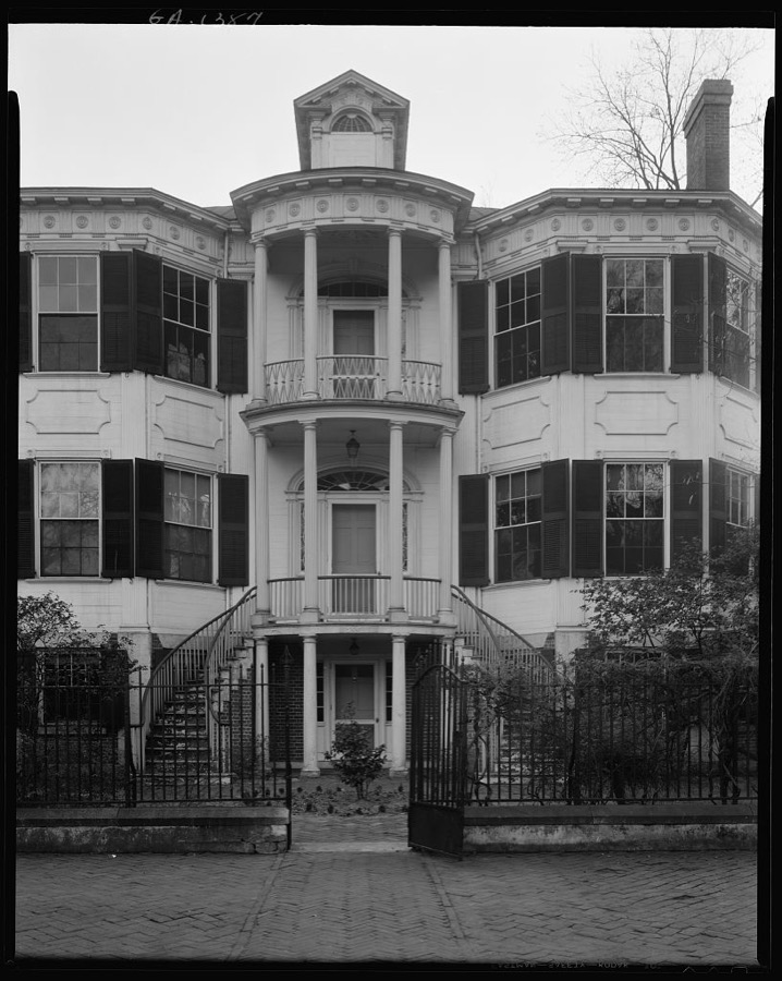
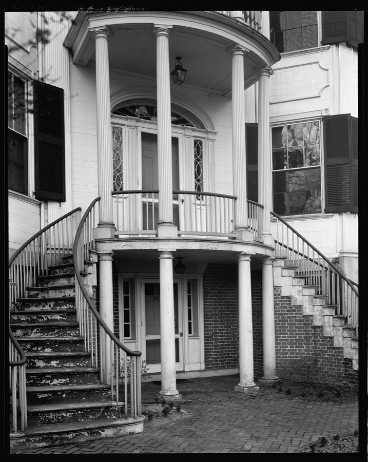
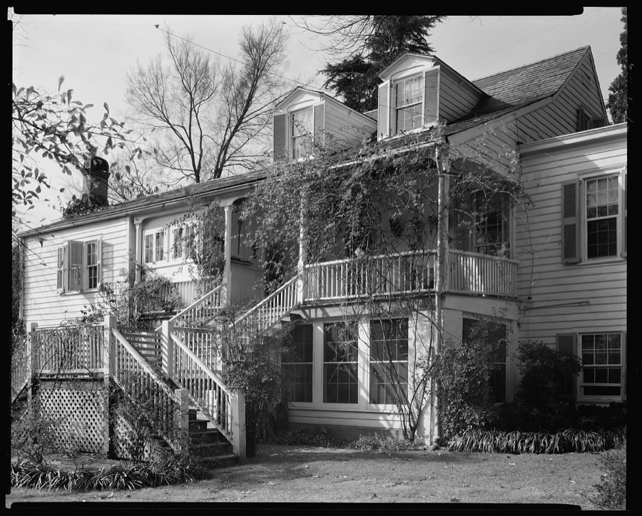
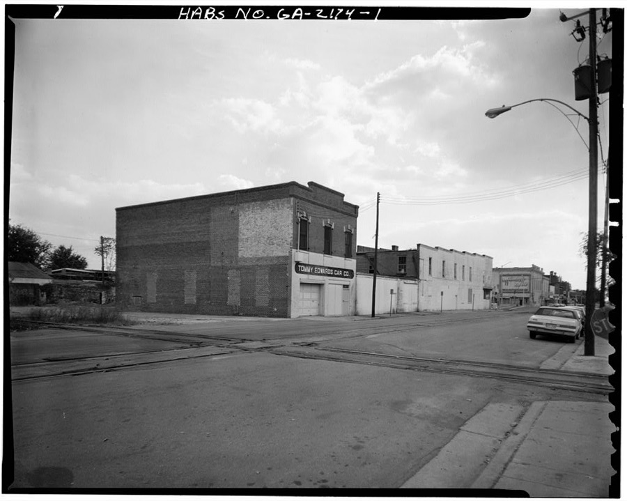
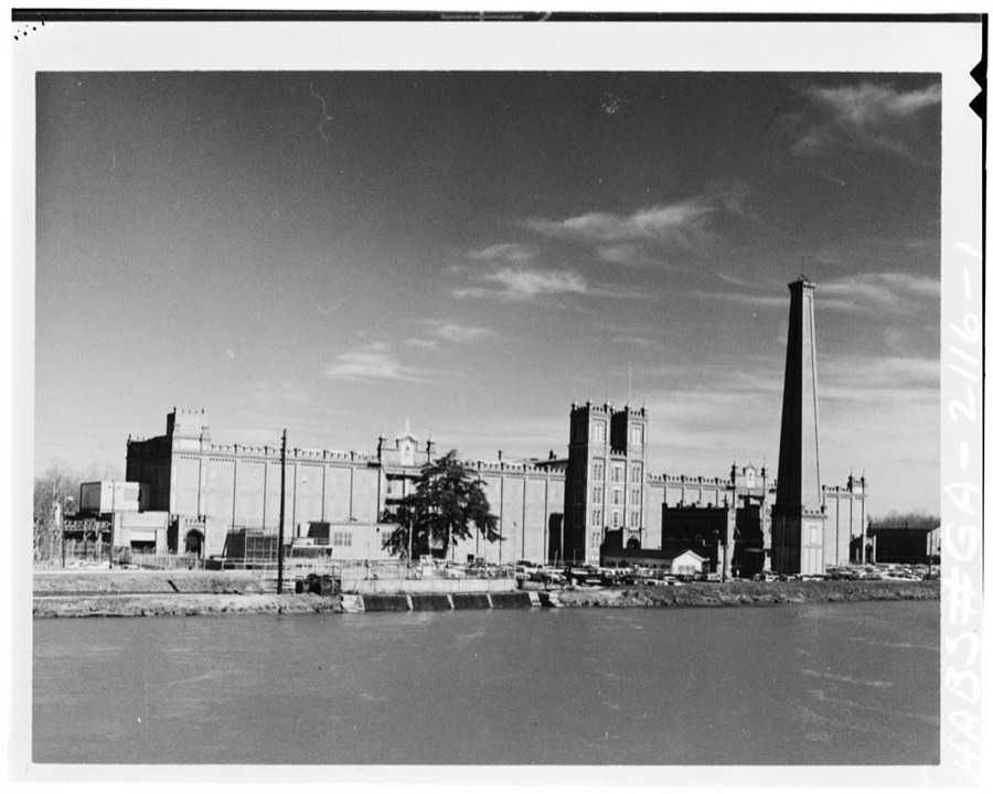
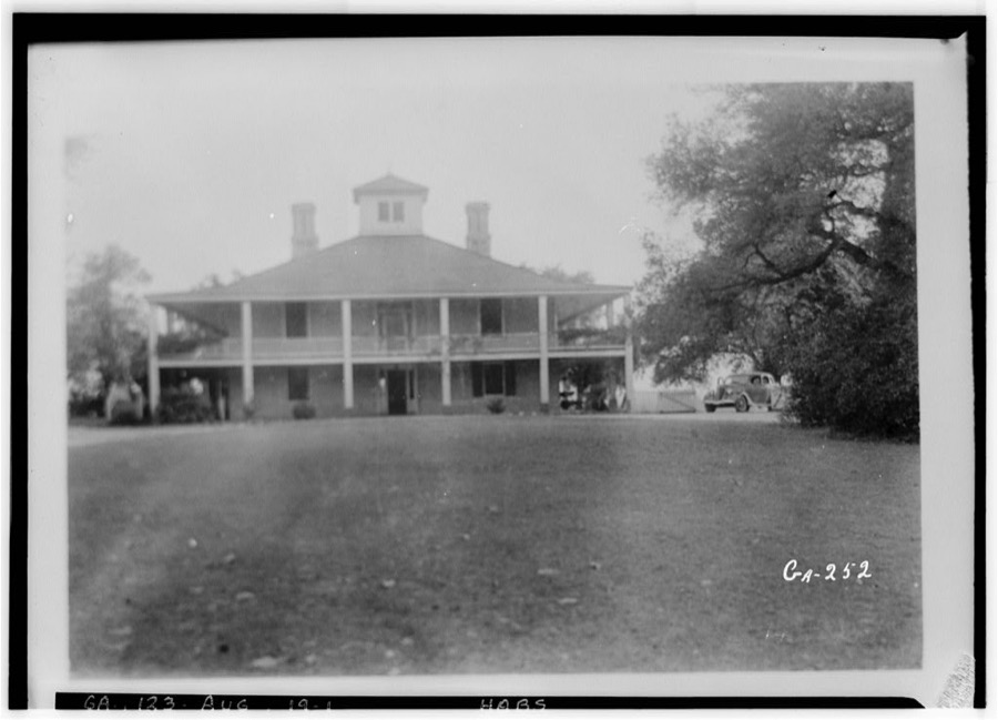
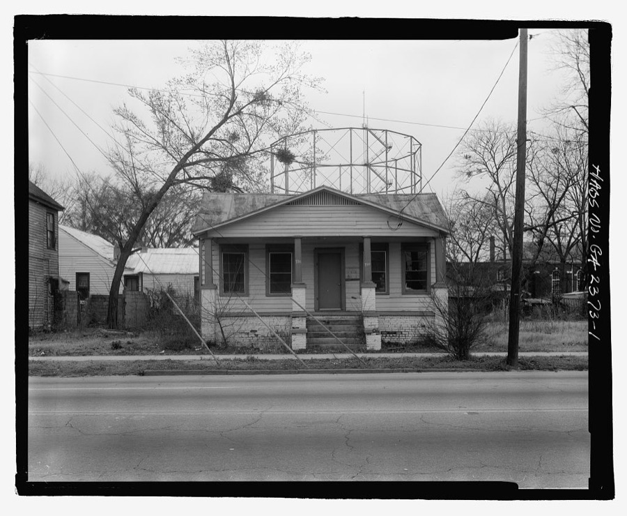
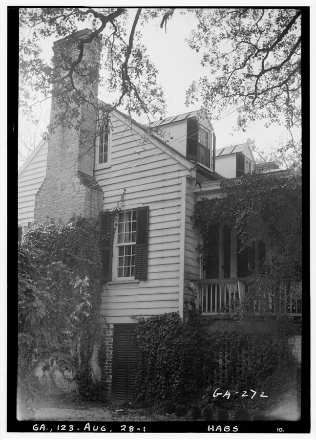
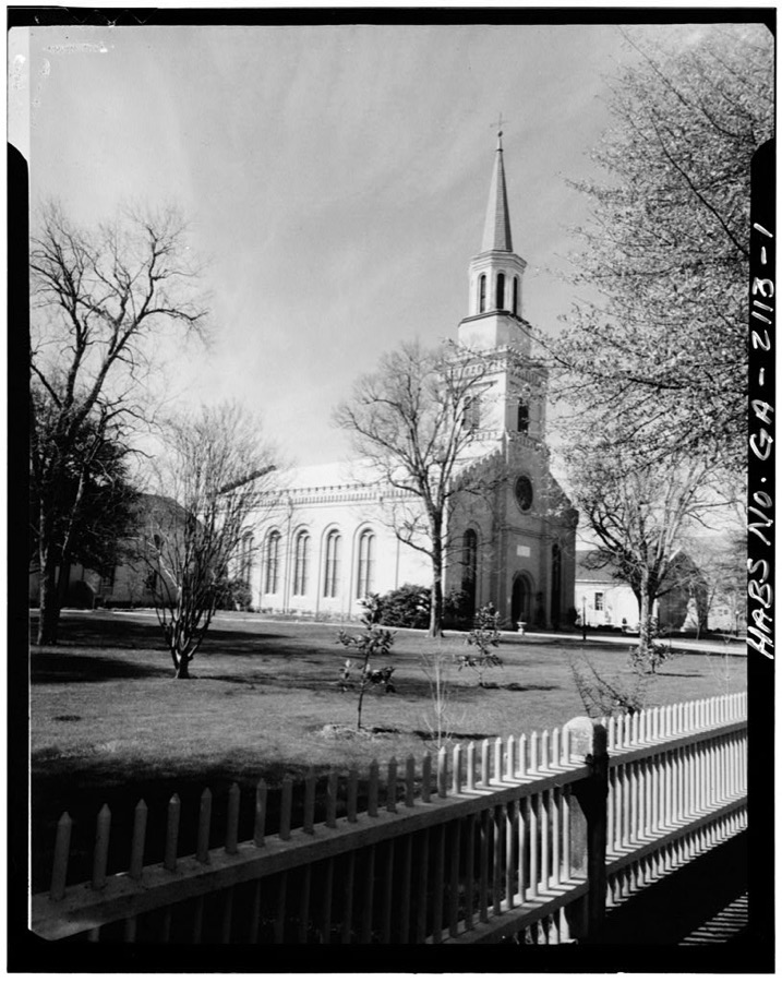
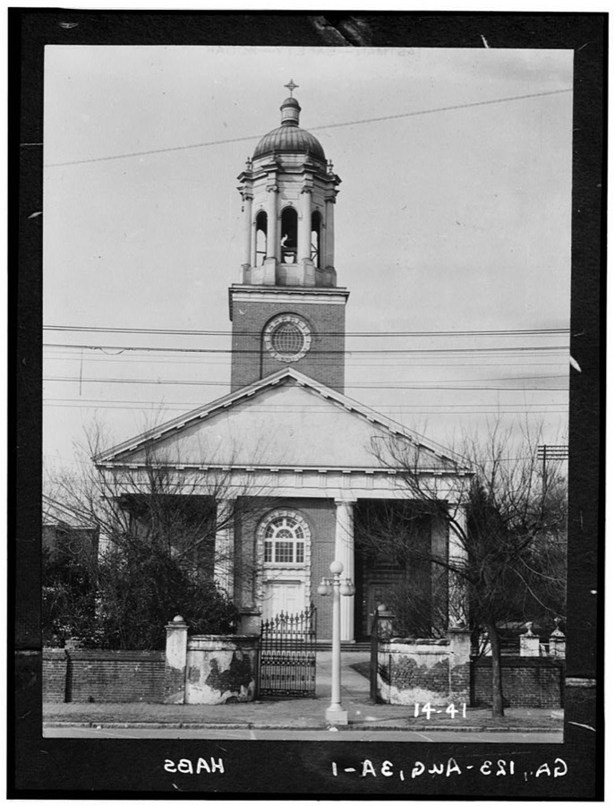
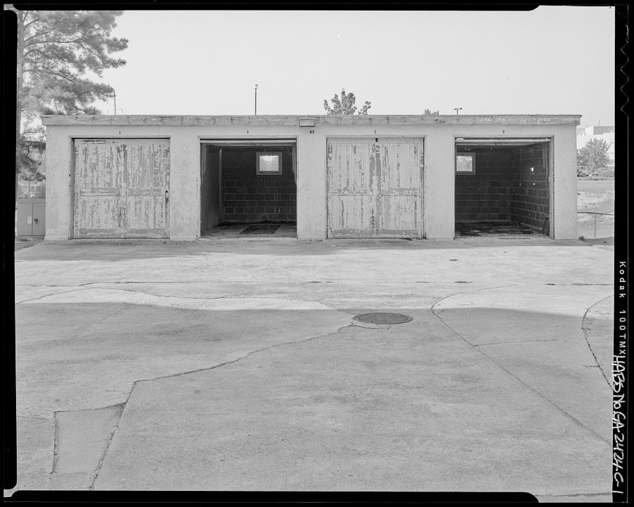
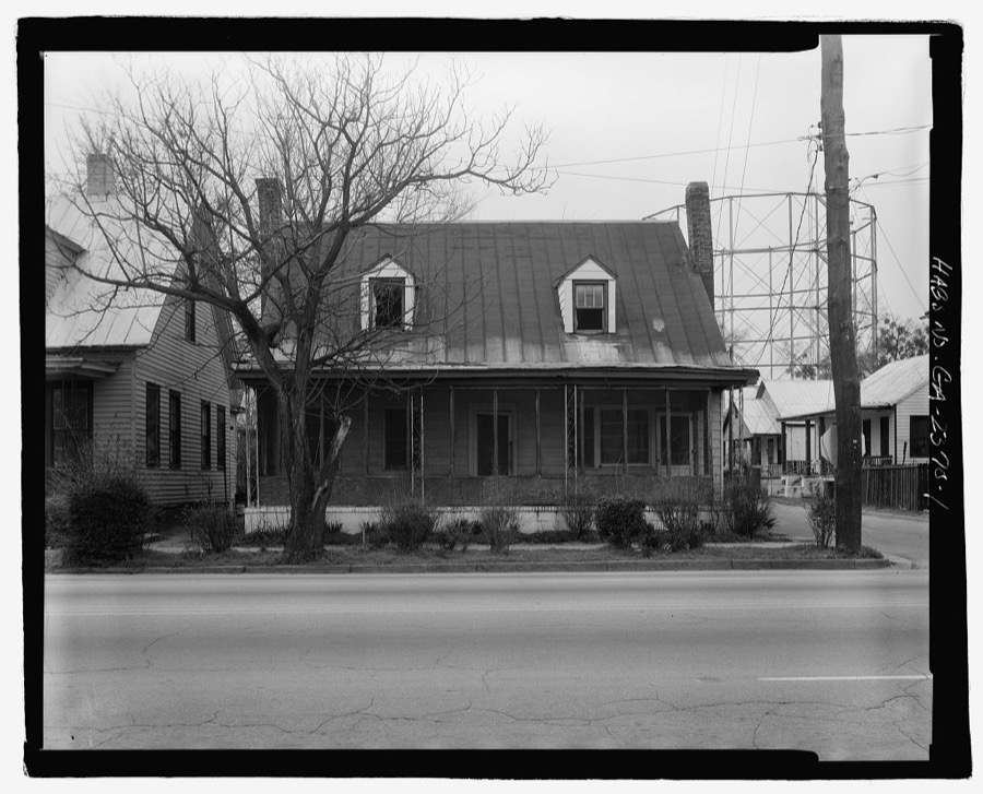
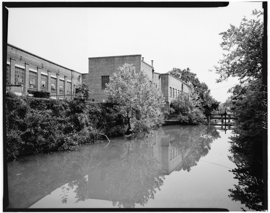
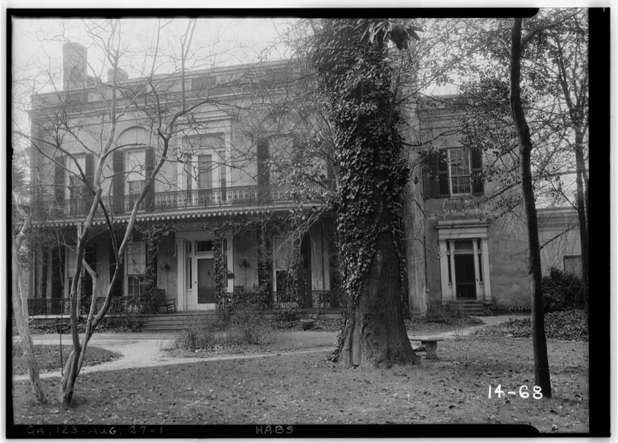
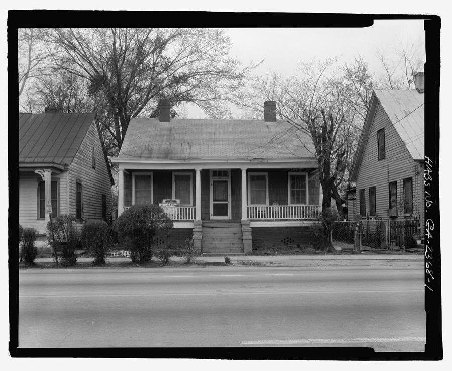
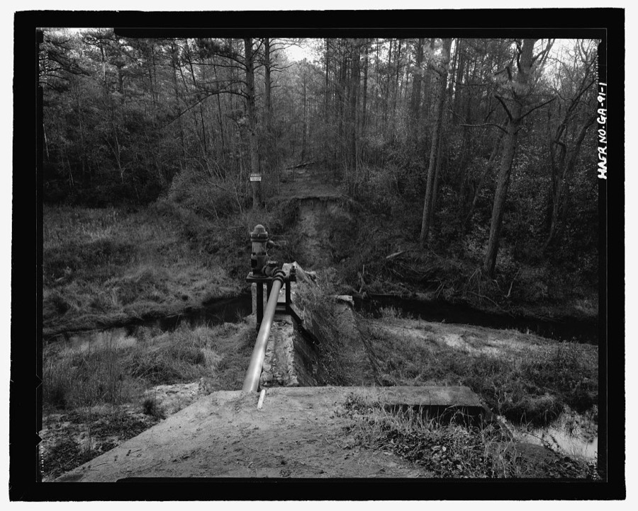
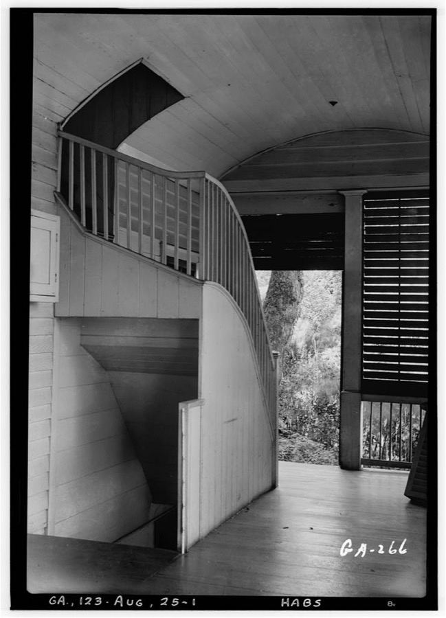
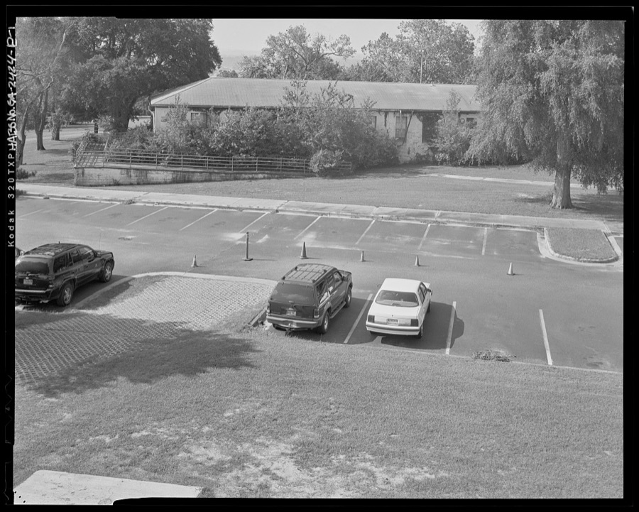
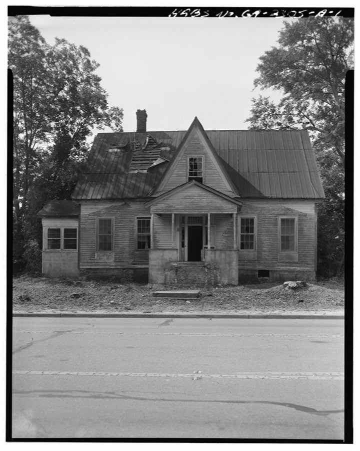
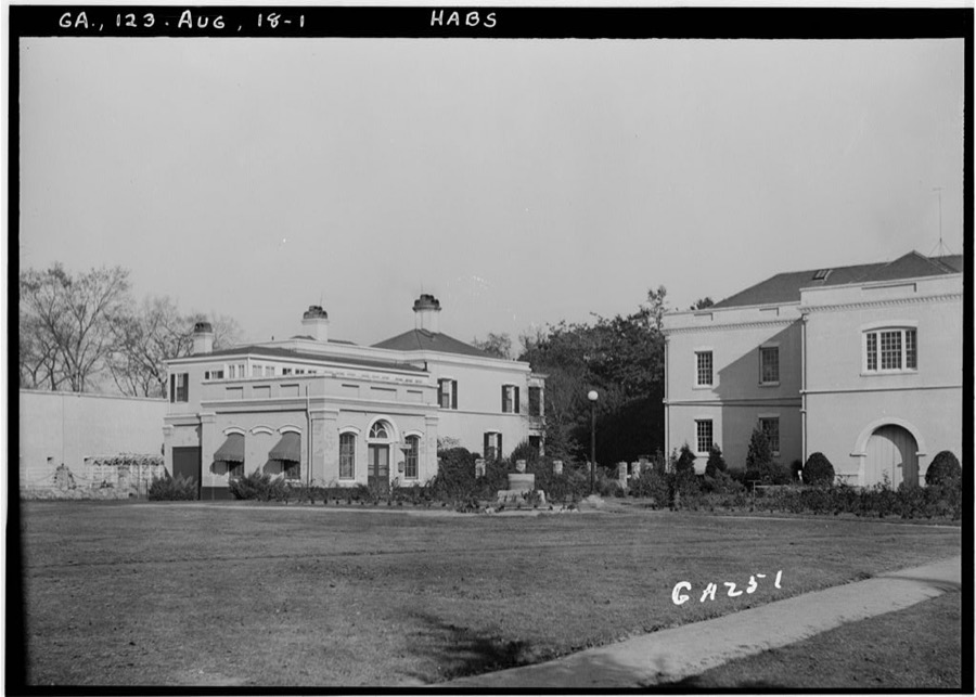
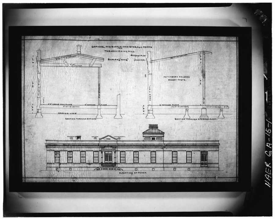
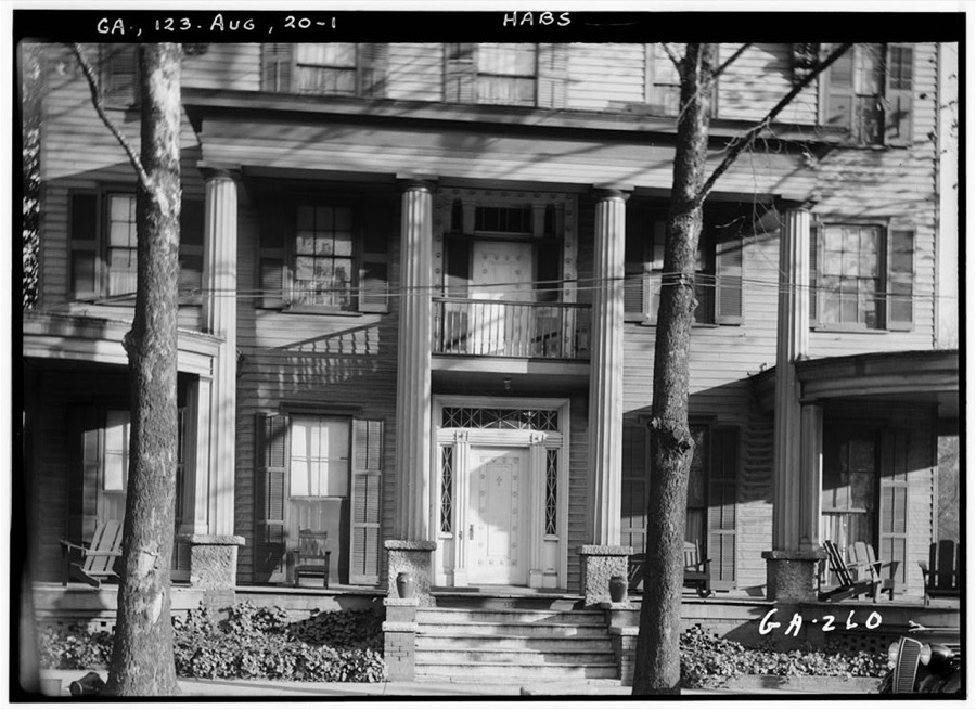
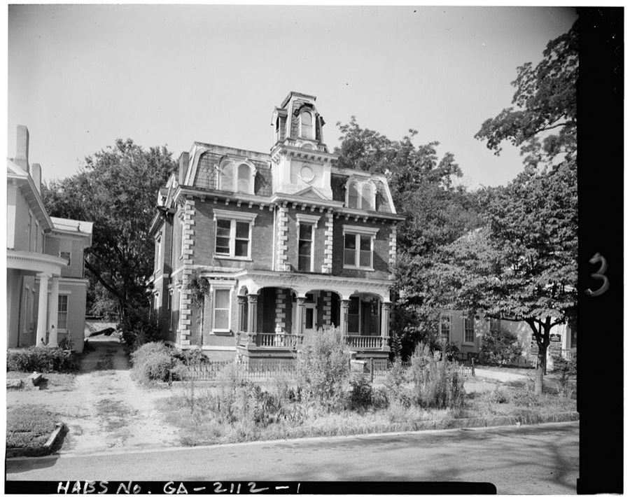
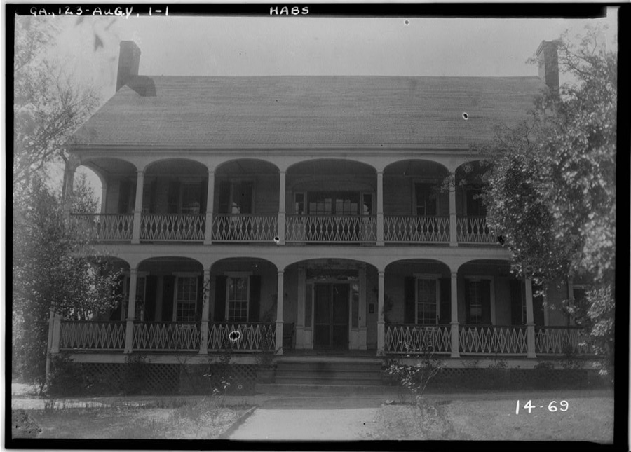
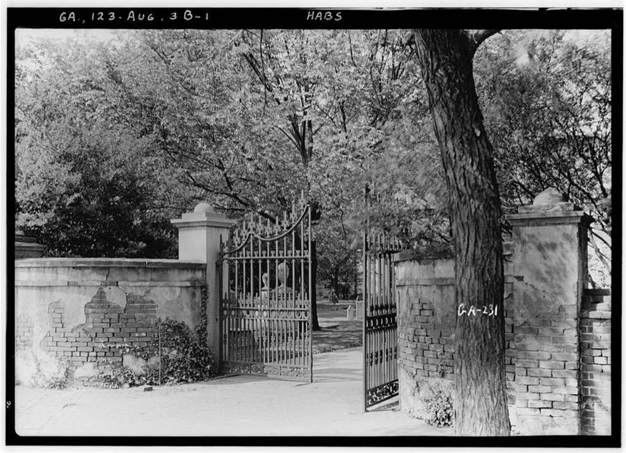
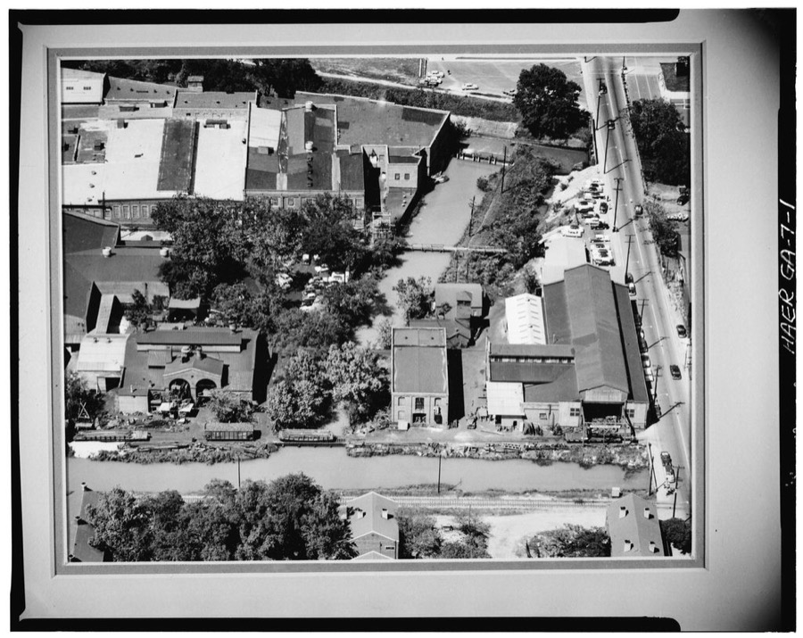
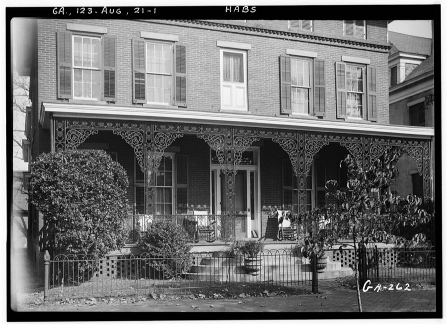
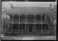
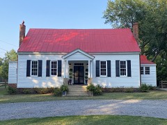
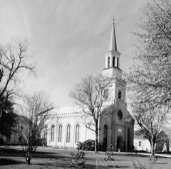
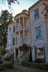
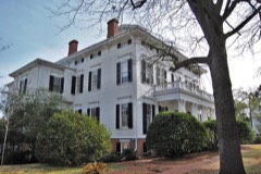
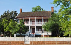
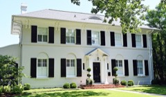
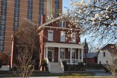
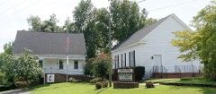
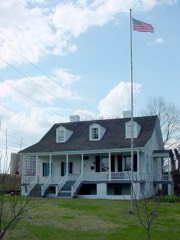
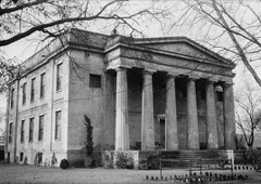
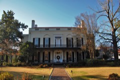
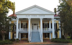
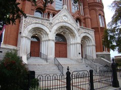
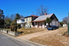
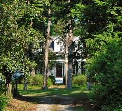
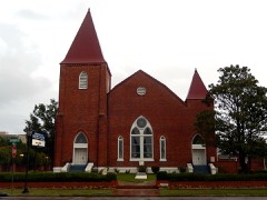
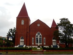
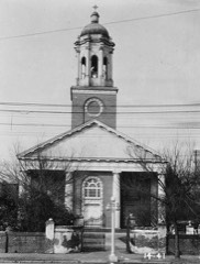
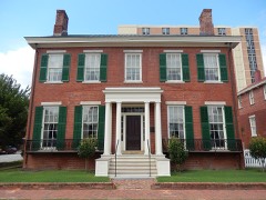
Clanton-Vaison-Coleman House, Augusta, Richmond County, Georgia Johnston, Frances Benjamin, 1939. Library of CongressWare-Sibley House, Augusta, Richmond County, Georgia Johnston, Frances Benjamin, 1939. Library of CongressClanton-Vaison-Coleman House, Augusta, Richmond County, Georgia Johnston, Frances Benjamin, 1939. Library of CongressWare-Sibley House, Augusta, Richmond County, Georgia Johnston, Frances Benjamin, 1939. Library of CongressClanton-Vaison-Coleman House, Augusta, Richmond County, Georgia Johnston, Frances Benjamin, 1939. Library of CongressSt. Paul's Church, Augusta, Richmond County, Georgia Johnston, Frances Benjamin, 1939. Library of CongressPickens House, 2229 Pickens Rd., Augusta, Richmond County, Georgia Johnston, Frances Benjamin, 1939. Library of CongressSt. Paul's Church, Augusta, Richmond County, Georgia Johnston, Frances Benjamin, 1939. Library of CongressSt. Paul's Church, Augusta, Richmond County, Georgia Johnston, Frances Benjamin, 1939. Library of CongressMeadow Garden, Augusta, Richmond County, Georgia Johnston, Frances Benjamin, 1939. Library of CongressMeadow Garden, Augusta, Richmond County, Georgia Johnston, Frances Benjamin, 1939. Library of CongressPlatt-Fleming-Walker-D'Antignac, Ironwork, 453 Greene Street, Augusta, Richmond County, Georgia Johnston, Frances Benjamin, 1939. Library of CongressOld Cottage, Augusta, Richmond County, Georgia Johnston, Frances Benjamin, 1939. Library of CongressSt. Paul's Church, Augusta, Richmond County, Georgia Johnston, Frances Benjamin, 1939. Library of CongressOld Cottage, Augusta, Richmond County, Georgia Johnston, Frances Benjamin, 1939. Library of Congress467 Green Street, Ironwork, Augusta, Richmond County, Georgia Johnston, Frances Benjamin, 1939. Library of CongressWare-Sibley House, Augusta, Richmond County, Georgia Johnston, Frances Benjamin, 1939. Library of CongressWare-Sibley House, Augusta, Richmond County, Georgia Johnston, Frances Benjamin, 1939. Library of CongressChafee House, Augusta, Richmond County, Georgia Johnston, Frances Benjamin, 1939. Library of CongressTommy Edwards Car Company, 114 Sixth Street, Augusta, Richmond County, GA Photographer not recorded. Library of CongressSibley Manufacturing Company, Goodrich Street, Augusta, Richmond County, GA Photographer not recorded. Library of CongressFruitlands, 2604 Washington Road, Augusta, Richmond County, GA Photographer not recorded. Library of Congress730 Walton Way (House), Augusta, Richmond County, GA Photographer not recorded. Library of CongressAzalea Cottage, 2236 Walton Way, Augusta, Richmond County, GA Photographer not recorded. Library of CongressFirst Presbyterian Church, 642 Telfair Street, Augusta, Richmond County, GA Photographer not recorded. Library of CongressSt. Paul's Church (Episcopal), 605 Reynolds Street, Augusta, Richmond County, GA Photographer not recorded. Library of CongressU.S. Veterans Hospital No. 62, Garage, 1 Freedom Way, Augusta, Richmond County, GA Photographer not recorded. Library of Congress714-716 Walton Way (House), Augusta, Richmond County, GA Photographer not recorded. Library of CongressGlobe Mill, 12th & 13th Streets, 2 & 3 levels Augusta Canal, Augusta, Richmond County, GA Photographer not recorded. Library of CongressMurphey House, Telfair Street, Augusta, Richmond County, GA Photographer not recorded. Library of Congress708 Walton Way (House), Augusta, Richmond County, GA Photographer not recorded. Library of CongressSilas C. Read Sawmill, Outlet of Maxwell Lake near North Range Road, Fort Gordon, Richmond County, GA Photographer not recorded. Library of CongressHigh Gate, 820 Milledge Road, Augusta, Richmond County, GA Photographer not recorded. Library of CongressU.S. Veterans Hospital No. 62, Hospital Ward, 1 Freedom Way, Augusta, Richmond County, GA Photographer not recorded. Library of CongressVance Farmstead, Main House, State Route 88, Hephzibah, Richmond County, GA Photographer not recorded. Library of CongressU. S. Arsenal, Walton Way Vicinity, Augusta, Richmond County, GA Photographer not recorded. Library of CongressJohn P. King Manufacturing Company, 1701 Goodrich Street, Augusta Canal, Augusta, Richmond County, GA Photographer not recorded. Library of CongressChew-Dearing-Battey House, 428 Washington Street, Augusta, Richmond County, GA Photographer not recorded. Library of CongressZachary Daniels House, 448 Greene Street, Augusta, Richmond County, GA Photographer not recorded. Library of CongressPendleton & Boardman Foundry, 636 11th Street, Augusta, Richmond County, GA Photographer not recorded. Library of CongressHarper House, Wrightsboro Road, Augusta, Richmond County, GA Photographer not recorded. Library of CongressSt. Paul's Parish Cemetery Gate & Gravestones, 605 Reynolds Street, Augusta, Richmond County, GA Photographer not recorded. Library of CongressGeorgia Iron Works, 620-640 12th Street, Augusta Canal, Augusta, Richmond County, GA Photographer not recorded. Library of CongressPlatt-Fleming-Walker-d'Antignac House, 453 Greene Street, Augusta, Richmond County, GA Photographer not recorded. Library of Congress
Places on the National Register
51
Every property in this county listed on the
National Register of Historic Places, with the year it was listed and the
federal nomination document.
Selected from the Digital Public Library
of America's 79 image records catalogued for this county. Every
one shown here carries a public-domain status or a licence that permits
reuse on a site that carries advertising; non-commercial, share-alike
and restricted images are excluded. The selection is spread across the
county's towns (at most eight per town), so no single institution's
bulk upload crowds out the rest. Each opens the holding library's
record, and
the complete set at the
Digital Public Library of America is one click away.
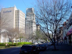
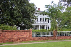
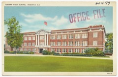
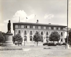
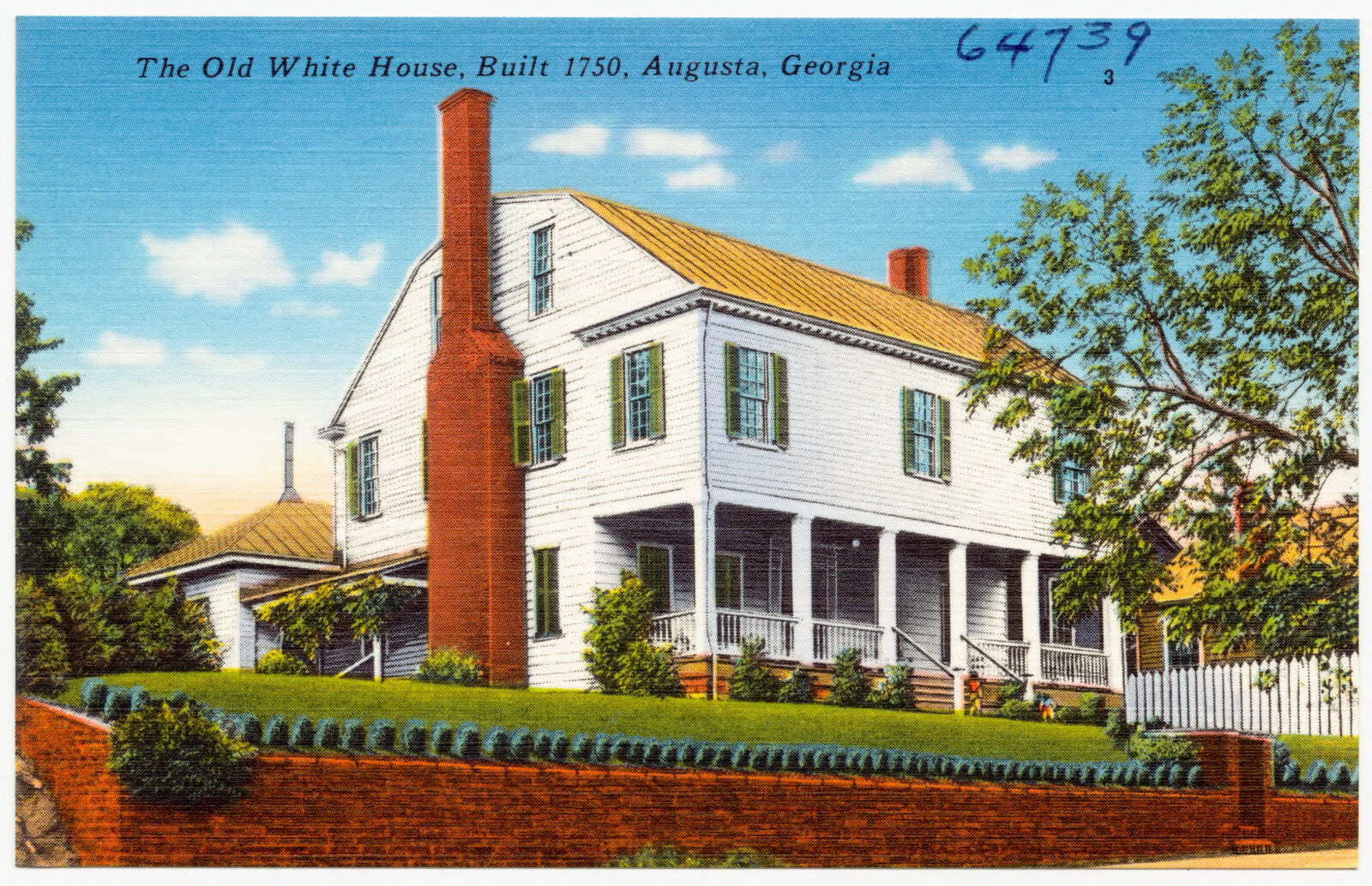
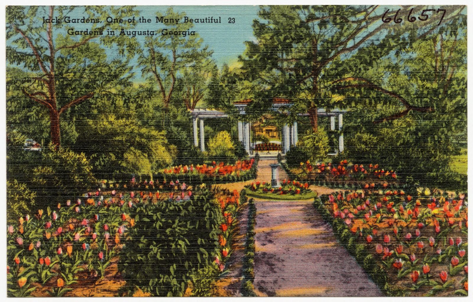
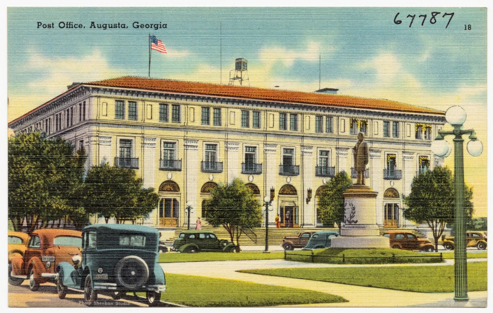
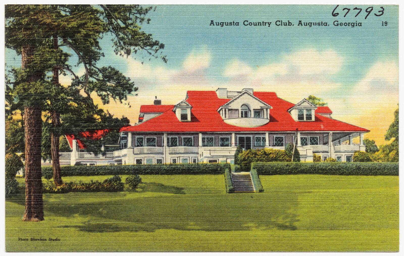
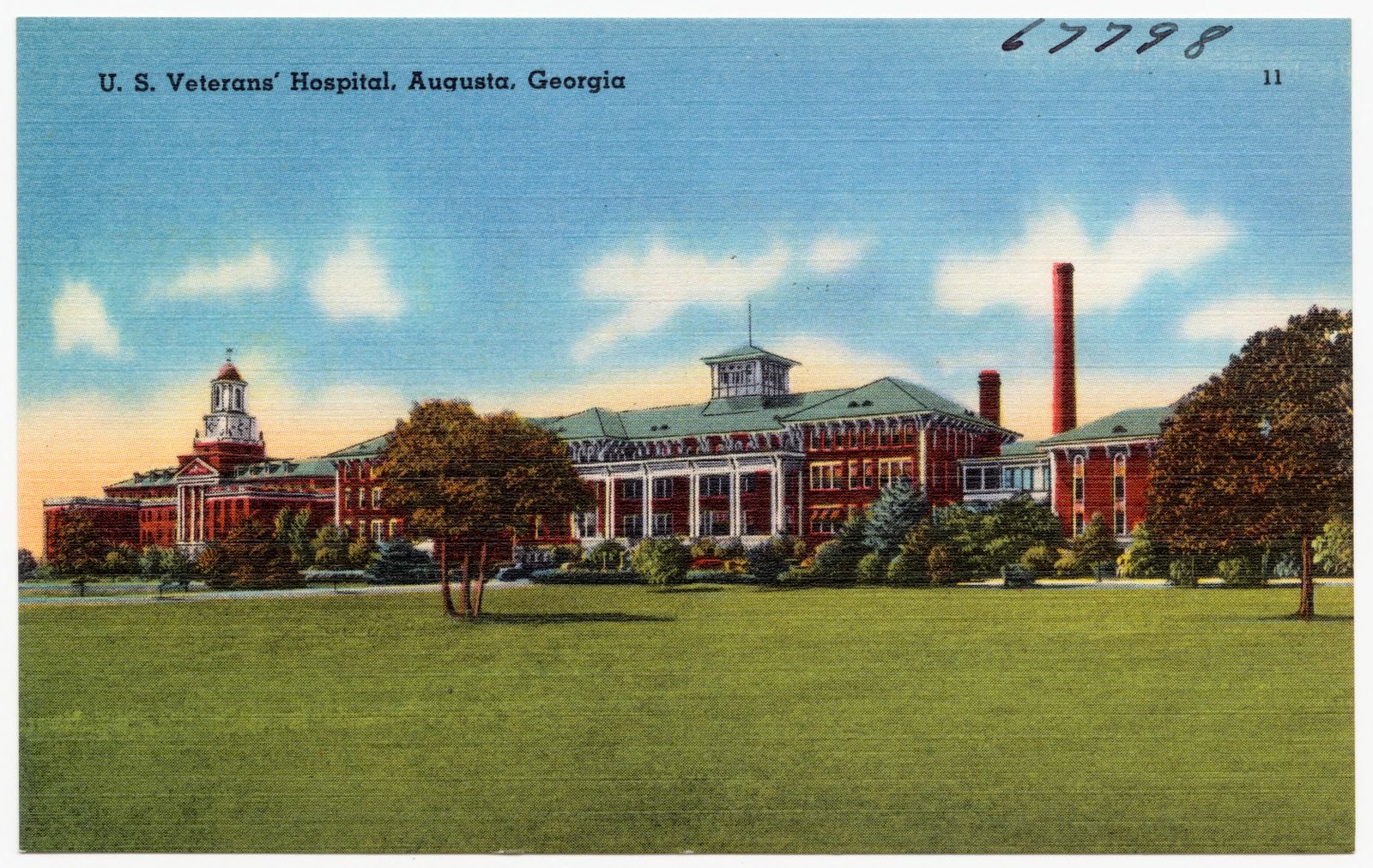
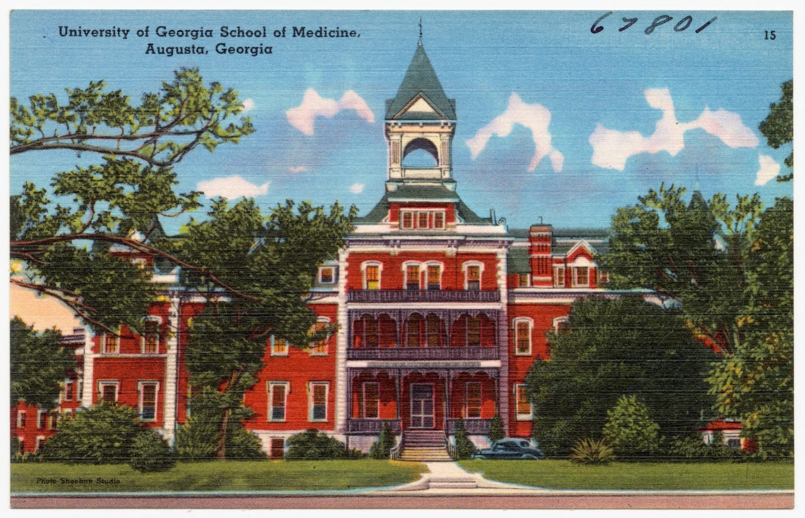
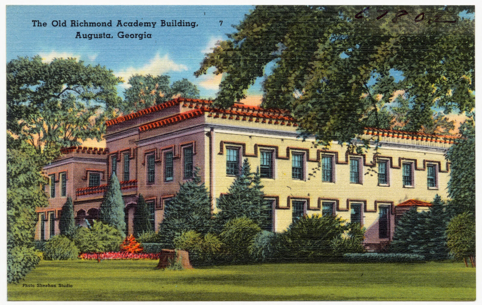
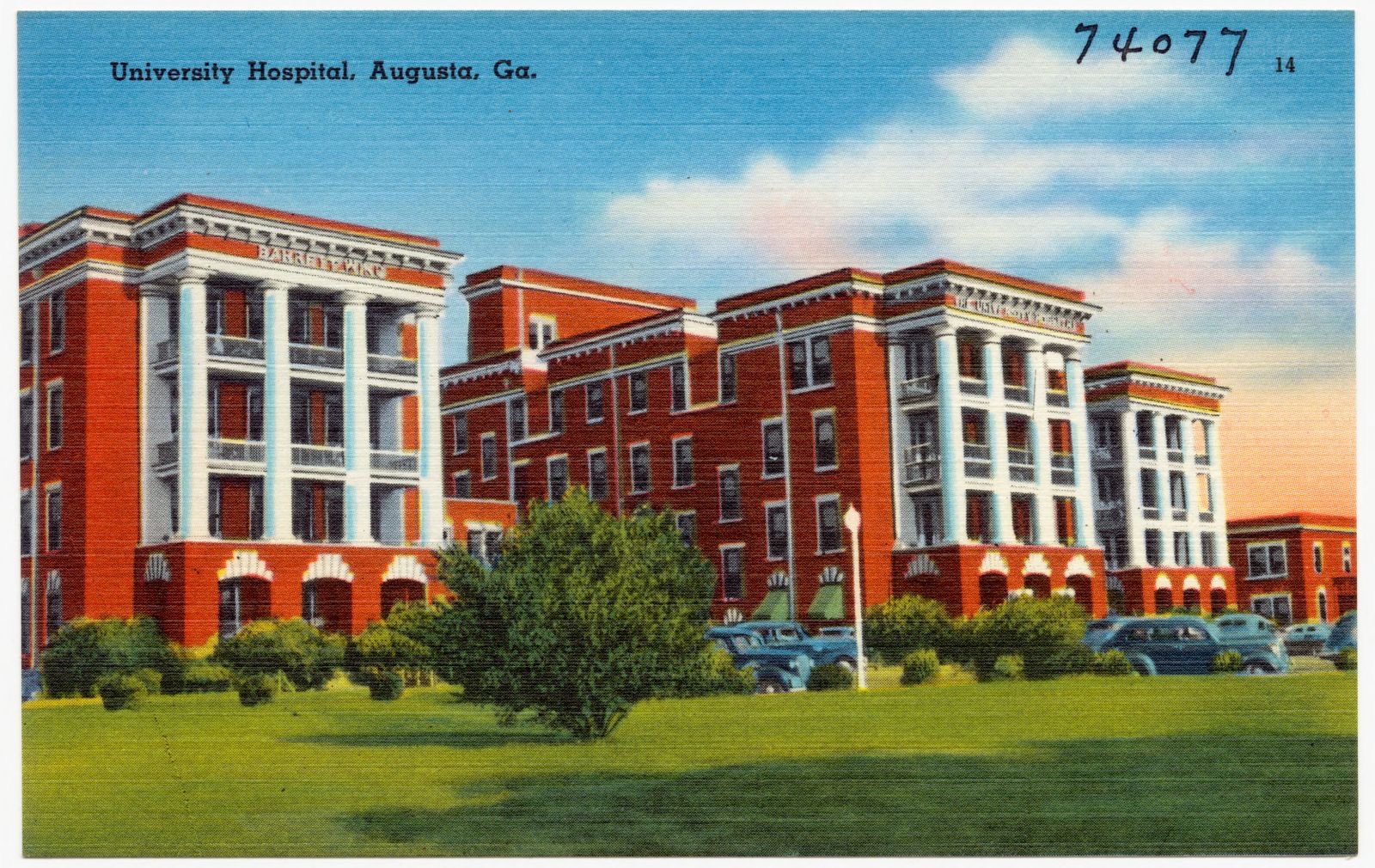
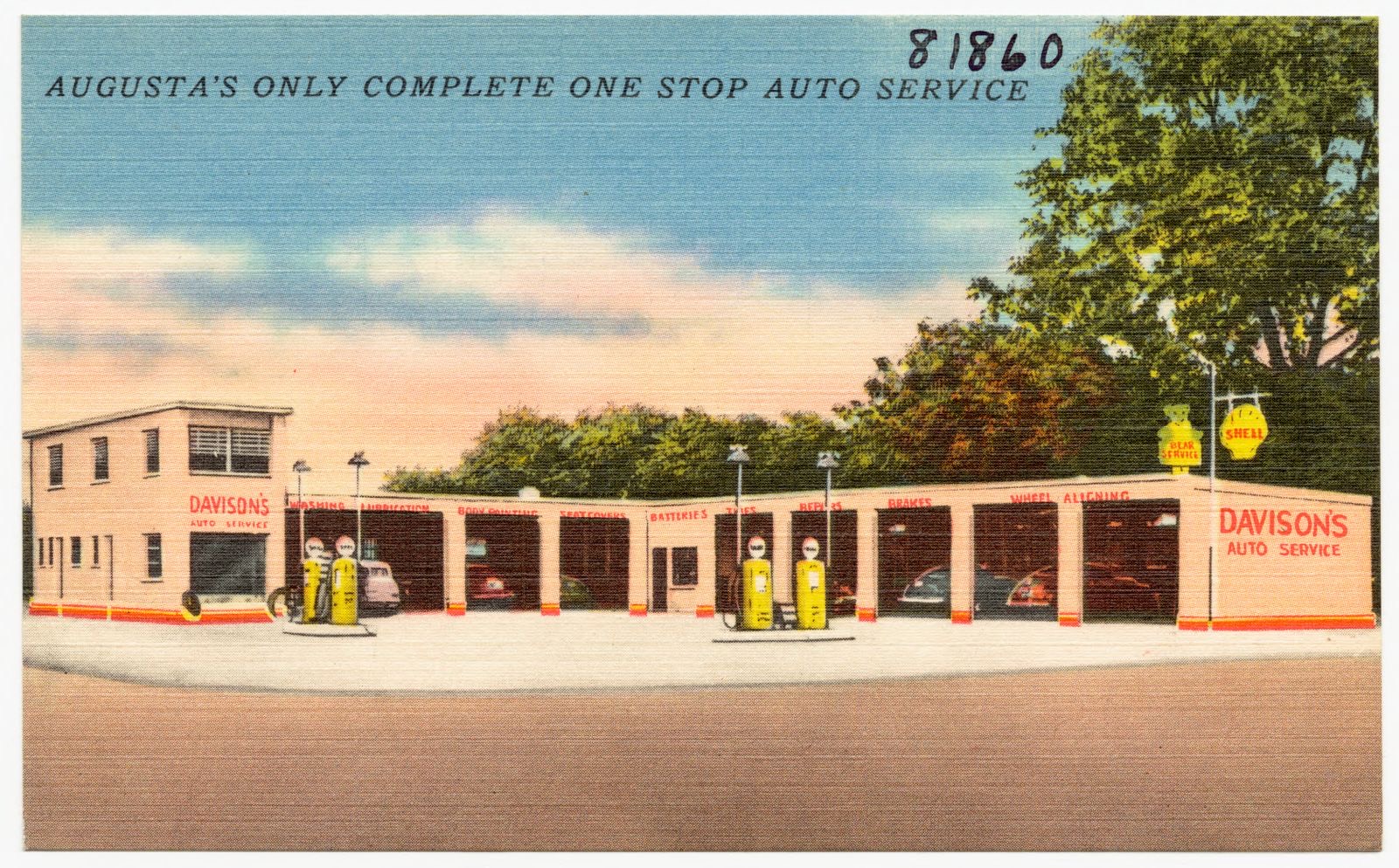
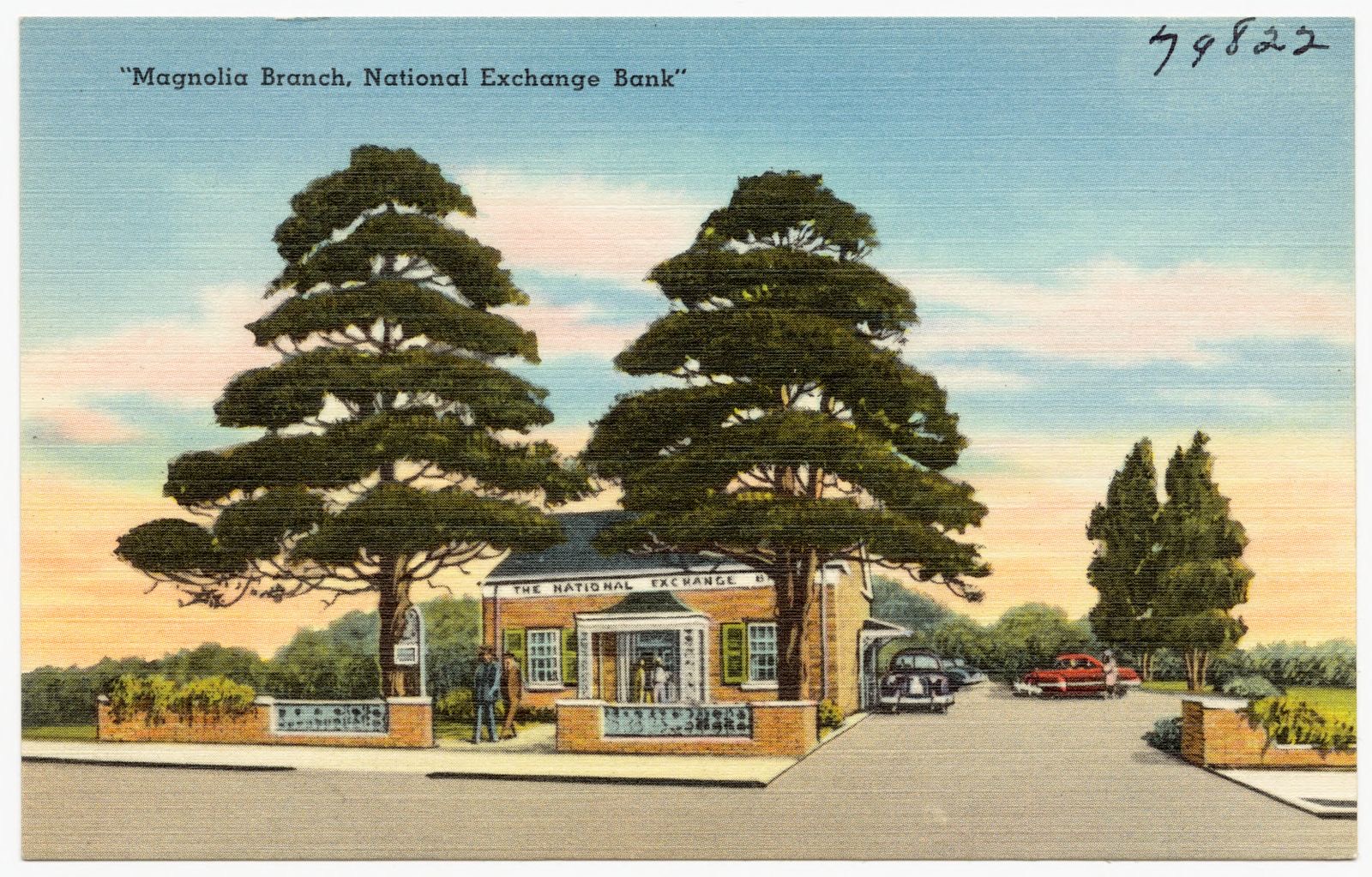
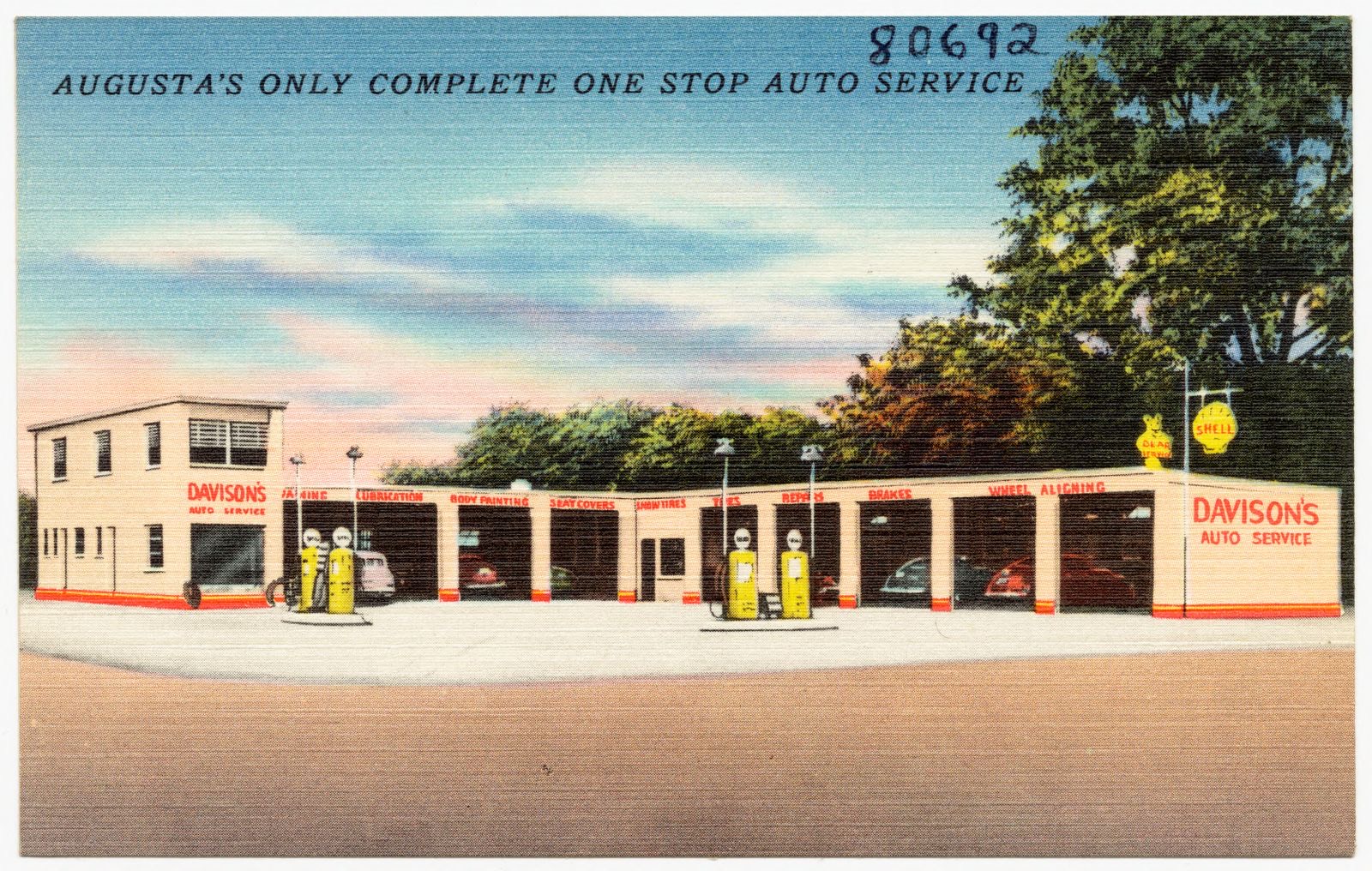
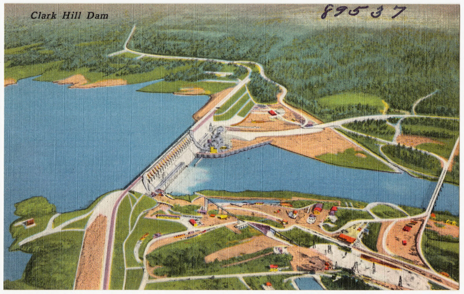
The Old White House, built 1750, Augusta, Georgia. Boston Public Library, via the Digital Public Library of America.Jack Gardens, one of the many beautiful gardens in Augusta, Georgia. Boston Public Library, via the Digital Public Library of America.Post Office, Augusta, Georgia. Boston Public Library, via the Digital Public Library of America.Augusta Country Club, Augusta, Georgia. Boston Public Library, via the Digital Public Library of America.U. S. Veterans' Hospital, Augusta, Georgia. Boston Public Library, via the Digital Public Library of America.University of Georgia School of Medicine, Augusta, Georgia. Boston Public Library, via the Digital Public Library of America.The old Richmond Academy building, Augusta, Georgia. Boston Public Library, via the Digital Public Library of America.University Hospital, Augusta, Ga.. Boston Public Library, via the Digital Public Library of America.Greetings from Fort Gordon Georgia. Boston Public Library, via the Digital Public Library of America.Greetings from Fort Gordon Georgia. Boston Public Library, via the Digital Public Library of America.Davison's Auto Service, Augusta's only complete one stop auto service. Boston Public Library, via the Digital Public Library of America."Magnolia Branch, National Exchange Bank". Boston Public Library, via the Digital Public Library of America.Davison's Auto Service, Augusta's only complete one stop auto service. Boston Public Library, via the Digital Public Library of America.Clark Hill Dam. Boston Public Library, via the Digital Public Library of America.
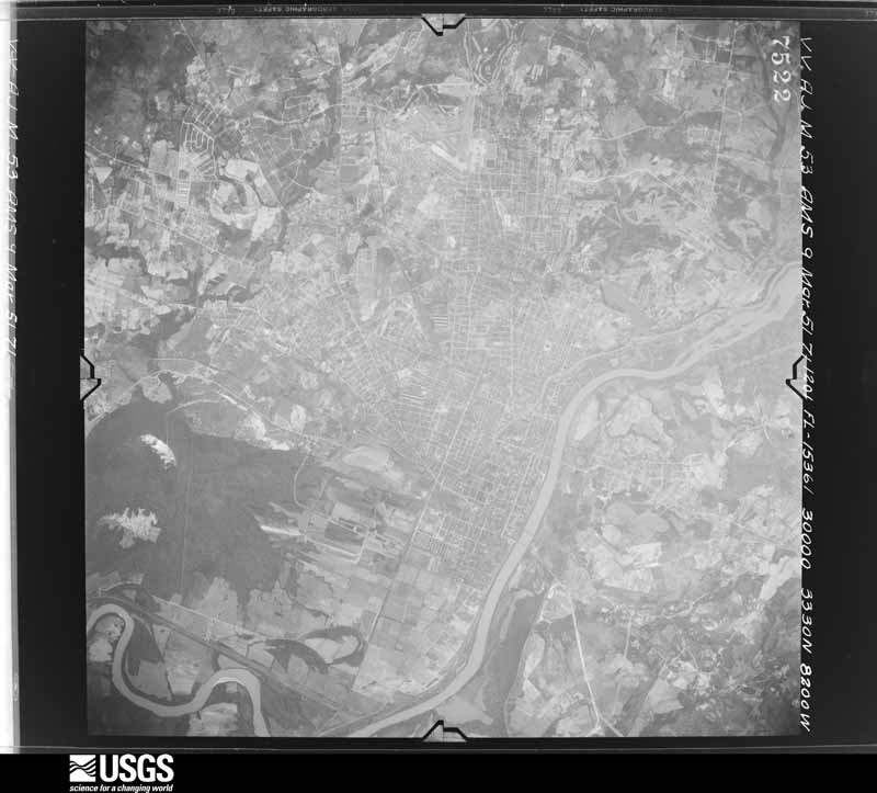
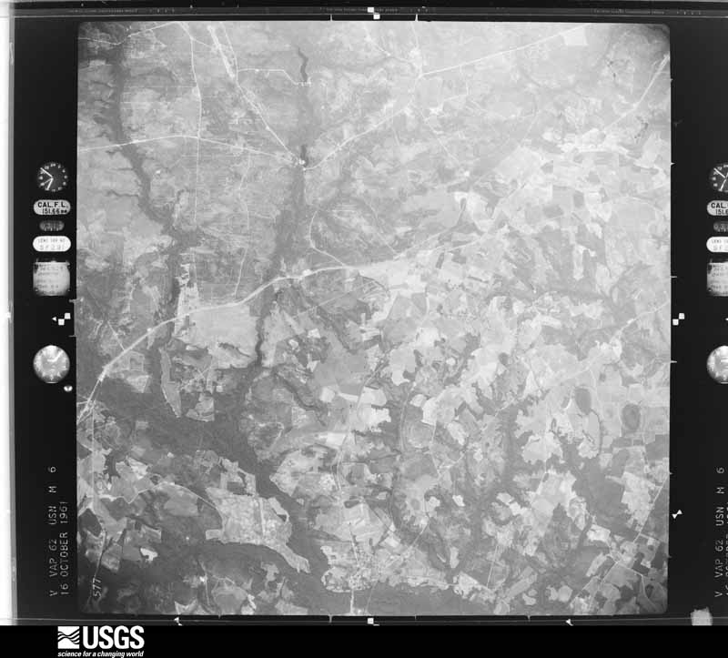
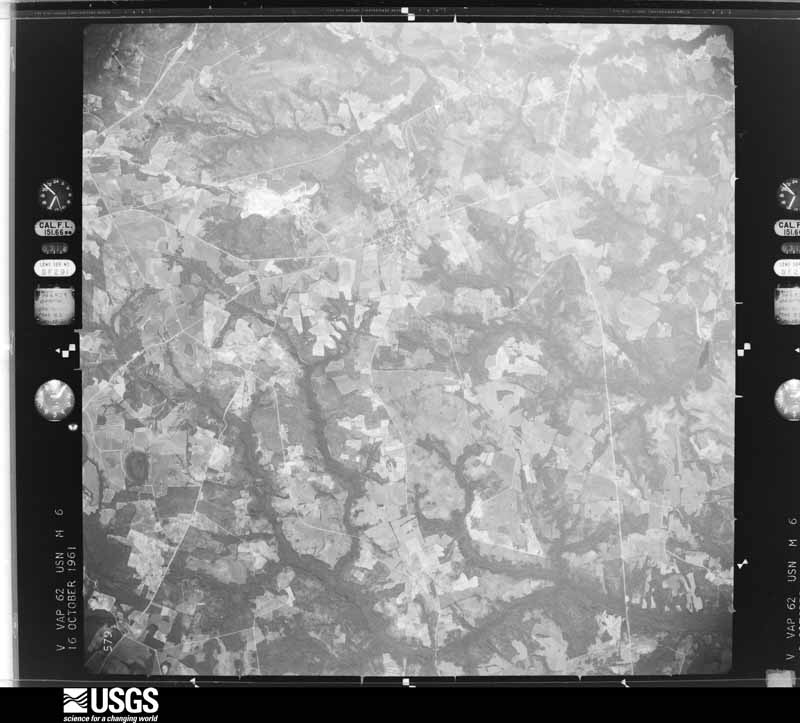
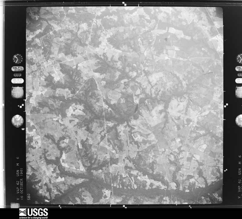
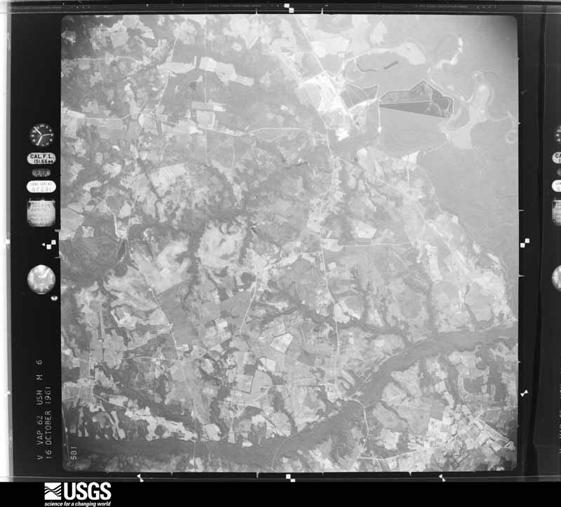
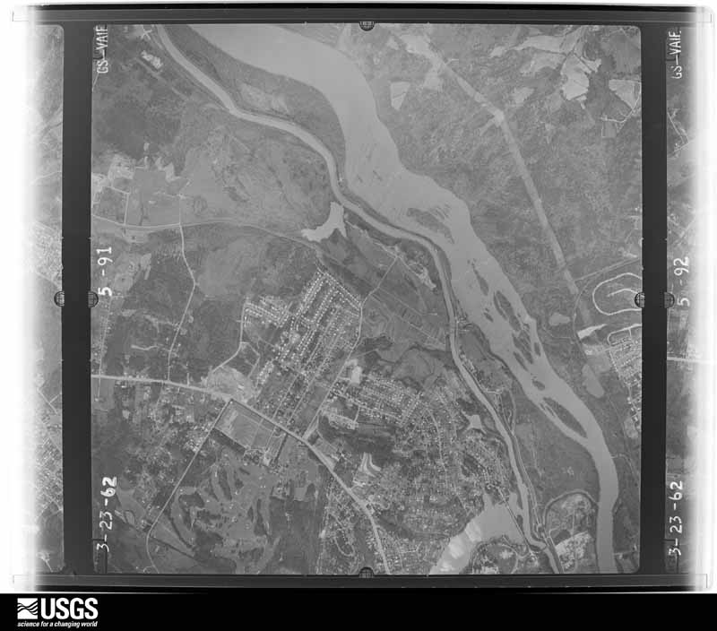
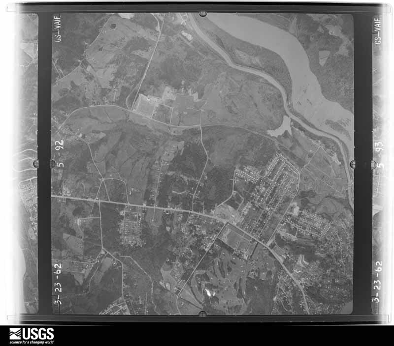
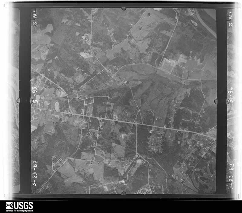
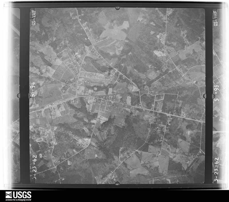
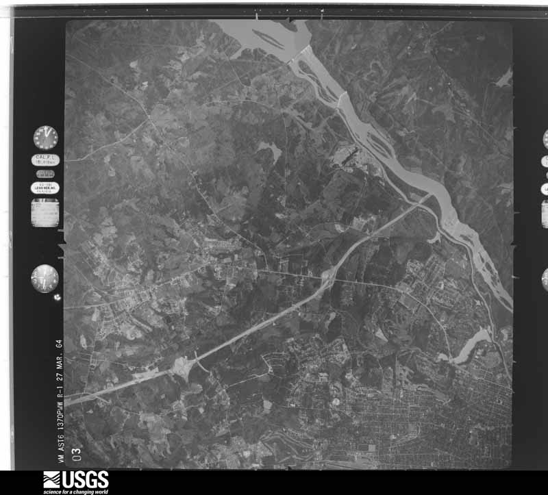
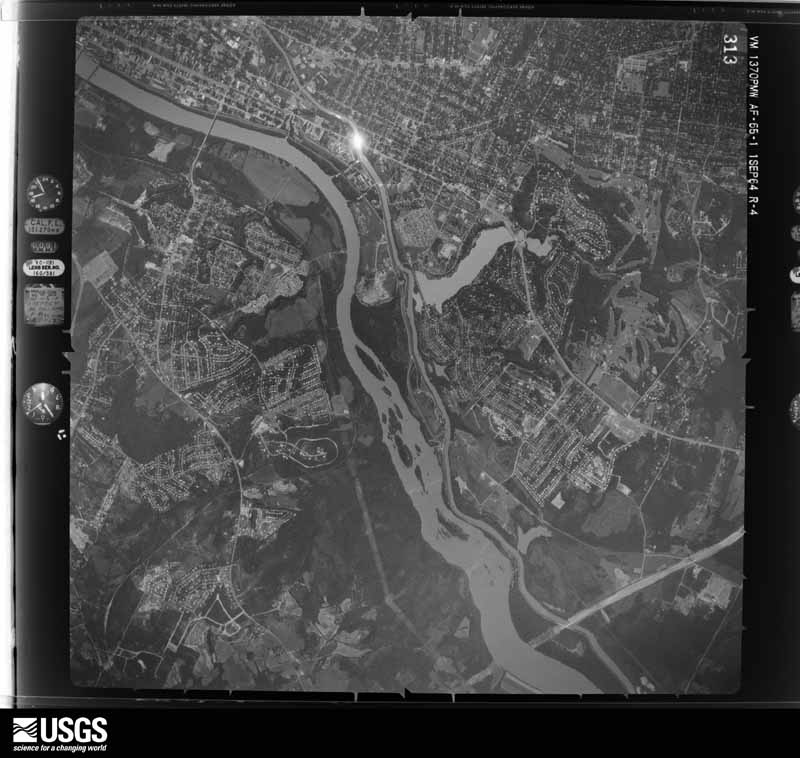
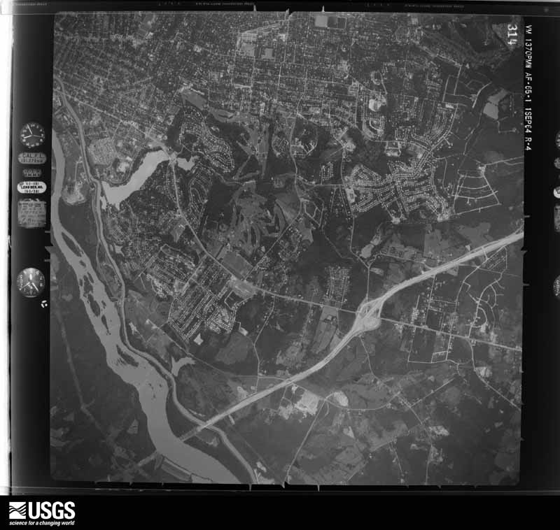
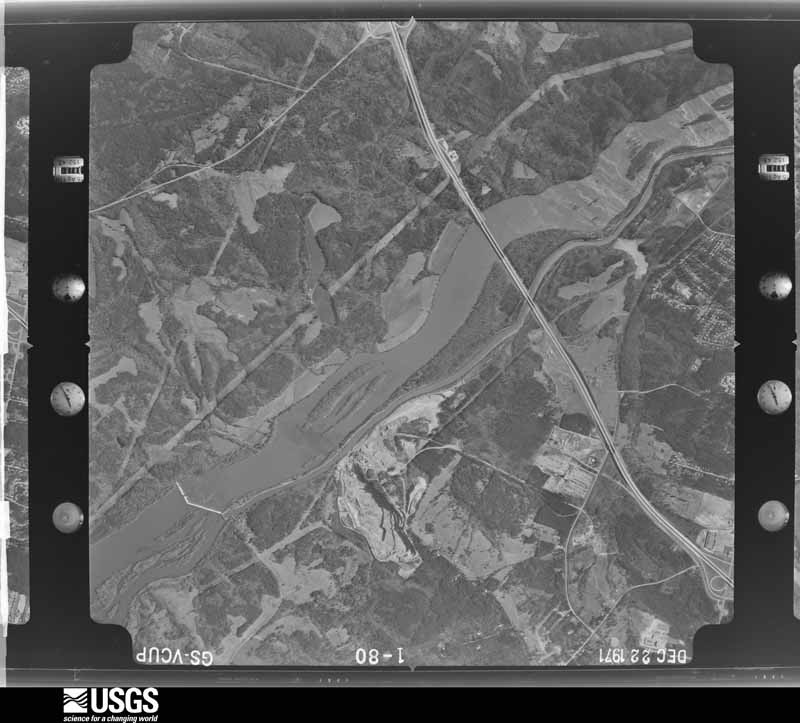
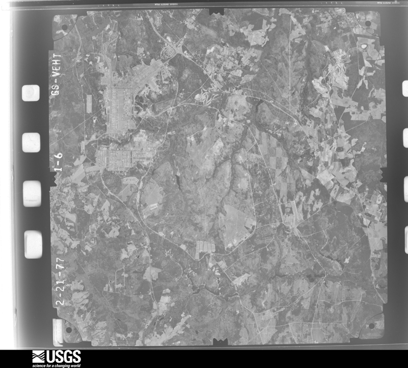
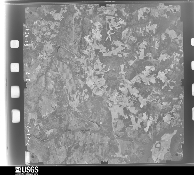
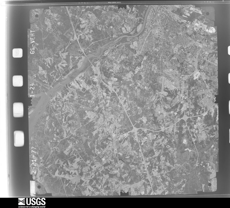
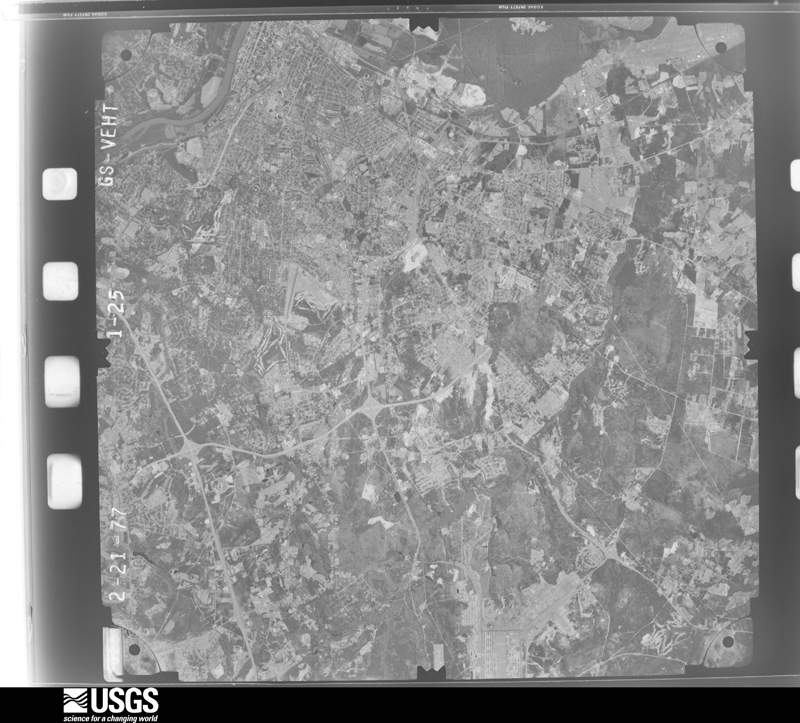
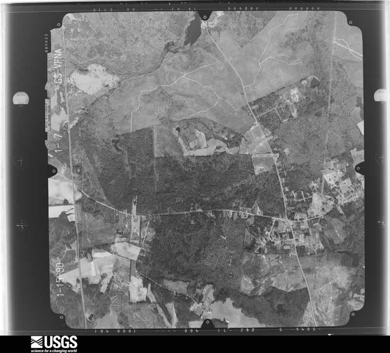
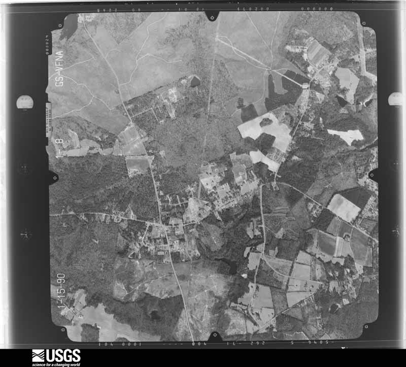
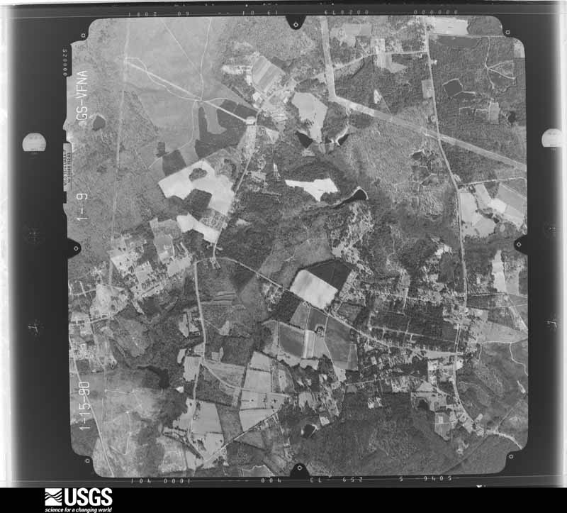
The county from the air
25 shown
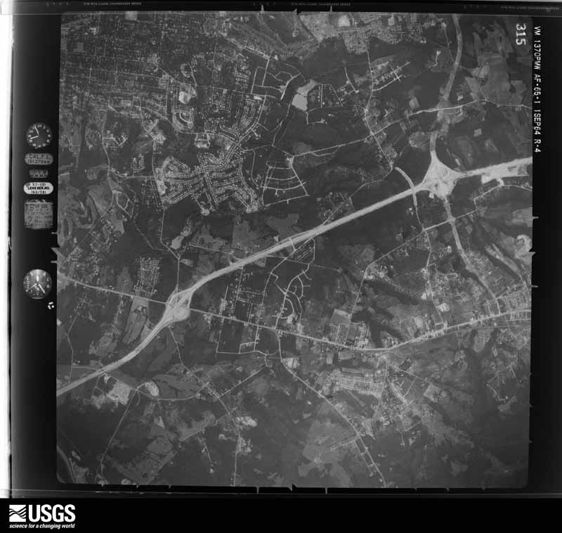
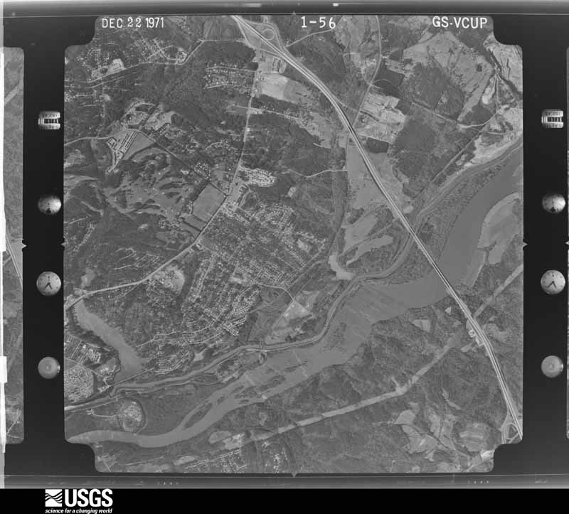
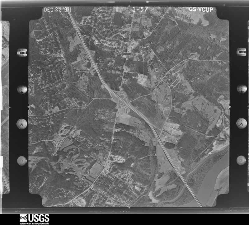
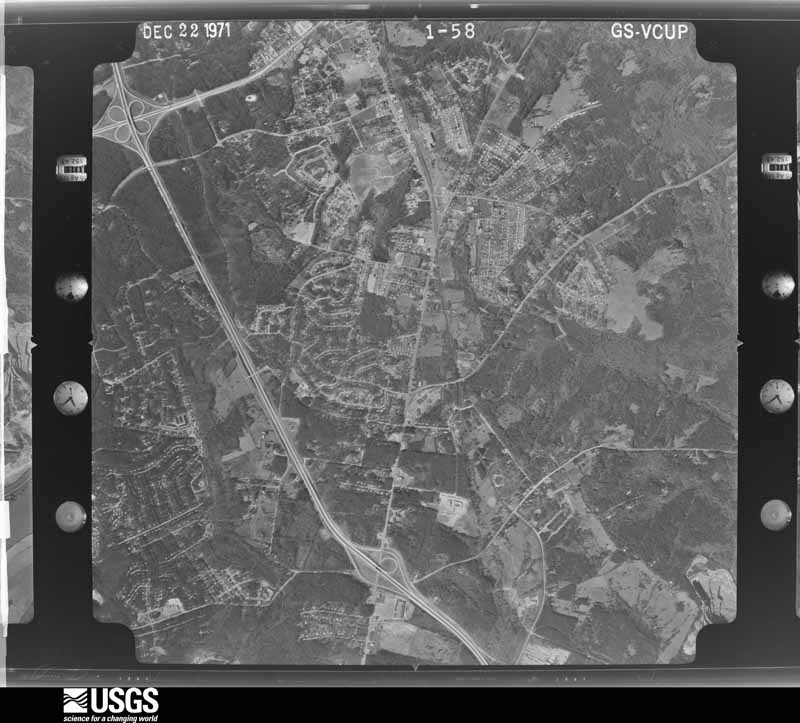
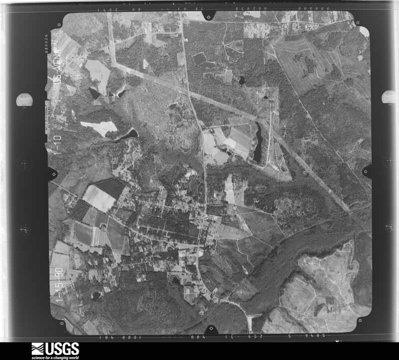
Flown by the U.S. Geological Survey
between 1937 and 1989, the Aerial Photo Single Frames collection is
the definitive mid-century view of the land: fields, roads and rivers
as the camera saw them. The Survey holds 722 frames inside the
rectangle that bounds this county; the 25 frames below were taken over
the county itself, chosen across the decades of flights (at most four
a year from that rectangle), so one flight cannot crowd out the rest.
The full set is free to browse and download at
EarthExplorer under the dataset Aerial Photo Single
Frames.
1951-03-09, scale 1:57000. U.S. Geological Survey aerial photograph.1961-10-16, scale 1:60000. U.S. Geological Survey aerial photograph.1961-10-16, scale 1:60000. U.S. Geological Survey aerial photograph.1961-10-16, scale 1:60000. U.S. Geological Survey aerial photograph.1961-10-16, scale 1:60000. U.S. Geological Survey aerial photograph.1962-03-23, scale 1:19000. U.S. Geological Survey aerial photograph.1962-03-23, scale 1:19000. U.S. Geological Survey aerial photograph.1962-03-23, scale 1:19000. U.S. Geological Survey aerial photograph.1962-03-23, scale 1:19000. U.S. Geological Survey aerial photograph.1964-04-01, scale 1:50000. U.S. Geological Survey aerial photograph.1964-09-01, scale 1:30000. U.S. Geological Survey aerial photograph.1964-09-01, scale 1:30000. U.S. Geological Survey aerial photograph.1964-09-01, scale 1:30000. U.S. Geological Survey aerial photograph.1971-12-22, scale 1:24000. U.S. Geological Survey aerial photograph.1971-12-22, scale 1:24000. U.S. Geological Survey aerial photograph.1971-12-22, scale 1:24000. U.S. Geological Survey aerial photograph.1971-12-22, scale 1:24000. U.S. Geological Survey aerial photograph.1977-02-21, scale 1:80000. U.S. Geological Survey aerial photograph.1977-02-21, scale 1:80000. U.S. Geological Survey aerial photograph.1977-02-21, scale 1:80000. U.S. Geological Survey aerial photograph.1977-02-21, scale 1:80000. U.S. Geological Survey aerial photograph.1990-01-01, scale 1:24000. U.S. Geological Survey aerial photograph.1990-01-01, scale 1:24000. U.S. Geological Survey aerial photograph.1990-01-01, scale 1:24000. U.S. Geological Survey aerial photograph.1990-01-01, scale 1:24000. U.S. Geological Survey aerial photograph.
Weather records
16 stations, 7 gages
The thermometers that kept this county's weather, and the gages that measured the flow of its streams, as the federal records hold them. The extremes below are measured values from those records, not estimates.
AUGUSTA1891 to 1960, hottest 42.8 C, coldest -12.2 C
HEPHZIBAH1892 to 1905, hottest 42.2 C, coldest -12.2 C
Who lived here in 1950, one enumeration
district at a time, as the Census Bureau described each district.
Each row opens its official National Archives result, with Population
Schedules and ED Maps available there.
161-1Augusta city, comprising Militia District 120, 600 and parts if Militia District 119, 123, and 1269: Augusta city - That part of Ward 3 (Tract 15 - part) in Militia District 119 Bounded by Wrightsboro Rd.; 12th; Johnson Ave., Forest, Anderson Ave.; Mill, Mill extended. This Enumeration District consists of the following blocks: 5, 6, 7, 8, 9, 15
161-2Augusta city - That part of Ward 3 (Tract 15 - part) in Militia District 119 Bounded by Anderson Ave., Forest, Johnson Ave.; 12th; Milledgeville Rd.; Mill. This Enumeration District consists of the following blocks: 16, 17, 18, 19 20 28 29
161-3Augusta city - That part of Ward 4 (Tract 14 - part) in Militia District 119 Bounded by Wrightsboro Rd.; Mill extended, Mill; Anderson Ave.; Augusta Ave. This Enumeration District consists of the following blocks: 1, 2, 12, 13
161-4Augusta city - That part of Ward 4 (Tract 14 - part) in Militia District 119 Bounded by Wrightsboro Rd.; Augusta Ave.; Poplar; Linden. This Enumeration District consists of the following blocks: 3, 4
161-5Augusta city - That part of Ward 4 (Tract 14 - part) in Militia District 119 Bounded by Wrightsboro Rd.; Linden; McCauley; McCauley. This Enumeration District consists of the following blocks: 5, 9, 10
161-6Augusta city - That part of Ward 4 (Tract 14 - part) in Militia District 119 Bounded by Wrightsboro Rd.; McCauley, Linden; Tutt Ave.; 15th. This Enumeration District consists of the following blocks: 6, 7, 8
161-7Augusta city - That part of Ward 4 (Tract 14 - part) in Militia District 119 Bounded by Poplar, Anderson Ave.; Mill; Milledgeville Rd.; Steed, Linden. This Enumeration District consists of the following blocks: 11, 17, 21
161-8Augusta city - That part of Ward 4 (Tract 14 - part) in Militia District 119 Bounded by Tutt Ave.; Steed; Milledgeville Rd., Sunset Rd.; 15th. This Enumeration District consists of the following blocks: 18, 19, 20, 24, 27, 28
161-9Augusta city - That part of Ward 4 (Tract 14 - part) in Militia District 119 Bounded by Wrightsboro Rd.; 15th, Georgia Railroad Yard; City limits; Ward line, Heard Ave. This Enumeration District consists of the following blocks: 1, 2, 3, 4, 5, 6, 11E, 12, 13
161-10Augusta city - That part of Ward 6 (Tract-13 - part) in Militia District 119, excluding U.S. Arsenal Warehouse in Block 14 Bounded by Georgia Railroad Yard; 15th; Sunset Ave., City limits. This Enumeration District consists of the following blocks: 14 -part, 15, 16, 17, 18
161-11Augusta city - That part of Ward 7 (Tract 13 - part) in Militia District 119 Bounded by Wrightsboro Rd.; Heard Ave., Ward line; City limits; Troupe. This Enumeration District consists of the following blocks: 7, 8, 10, 11W
161-12Augusta city - That part of Ward 7 (Tract 12 - part) in Militia District 119 Bounded by Wrightsboro Rd.; Troupe; City limits; Whitney. This Enumeration District consists of the following blocks: 22, 23, 24, 25, 26, 27, 28, 29, 30, 31, 32
161-13Augusta city - That part of Ward 7 (Tract 12 - part) in Militia District 119, excluding Veterans Administration Hospital #62 (Facility) in Block 33 Bounded by Wrightsboro Rd.; Whitney; City limits; Wheless Rd. This Enumeration District consists of the following blocks: 33 - part, 34, 35, 36, 37, 38, 39, 40
161-14Augusta city - That part of Ward 7 (Tract 12 - part) in Militia District 119, comprising Veterans Administration Hospital #62 (Facility) in Block 33
161-15Augusta city - That part of Ward 1 (Tract 5 - part) in Militia District 120 Bounded by City limits; City limits; Reynolds, 2nd, Broad; 5th, Jefferson Memorial Bridge. This Enumeration District consists of the following blocks: 3, 4, 5, 6, 7, 8, 9, 10, 23, 26, 27
161-16Augusta city - That part of Ward 1 (Tract 5 - part) in Militia District 120 Bounded by Broad, 2nd, Reynolds; City limits; Ellis; 5th. This Enumeration District consists of the following blocks: 24, 25, 28, 29, 30, 31, 31, 33, 34, 35, 36, 37, 38, 39, 40, 41, 42, 43
161-17Augusta city - That part of Ward 1 (Tract 5 - part) in Militia District 120 Bounded by Ellis; City limits; Telfair; 2nd, Greene, 3rd. This Enumeration District consists of the following blocks: 59 60 61 62 63 64 65 66 67
161-18Augusta city - That part of Ward 1 (Tract 5 - part) in Militia District 120 Bounded by Ellis; 3rd, Greene, 2nd; Telfair; 5th. This Enumeration District consists of the following blocks: 57 58 68 69 70
161-19Augusta city - That part of Ward 1 (Tract 6 - part) in Militia District 120 Bounded by Telfair; City limits; Gwinnett; 2nd. This Enumeration District consists of the following blocks: 1 2 3 4 16 17 18 19 20 40 41 49 50
161-20Augusta city - That part of Ward 1 (Tract 6 - part) in Militia District 120 Bounded by Telfair; 2nd; Gwinnett; 3rd. This Enumeration District consists of the following blocks: 5, 15, 21
161-21Augusta city - That part of Ward 1 (Tract 6 - part) in Militia District 120 Bounded by Telfair; 3rd; Calhoun; 4th, Walker, 5th. This Enumeration District consists of the following blocks: 6, 7, 14, 22
161-22Augusta city - That part of Ward 1 (Tract 6 - part) in Militia District 120 Bounded by Walker; 4th; Calhoun; 5th. This Enumeration District consists of the following blocks: 13, 23, 29
161-23Augusta city - That part of Ward 1 (Tract 6 - part) in Militia District 120 Bounded by Calhoun; 3rd; Gwinnett; 5th. This Enumeration District consists of the following blocks: 30, 31, 38, 39, 42, 43, 47, 48
161-24Augusta city - That part of Ward 2 (Tract 5 - part) in Militia District 120 Bounded by City limits; Jefferson Memorial Bridge, 5th; Ellis, 7th, Reynolds; 9th, 9th extended. This Enumeration District consists of the following blocks: 1, 2, 11, 12, 13, 14, 21, 22, 44, 45, 46
161-25Augusta city - That part of Ward 2 (Tract 5 - part) in Militia District 120, excluding Richmond Hotel in Block 48 Bounded by Reynolds; 7th; Ellis; 9th. This Enumeration District consists of the following blocks: 19, 20, 47, 48 - part, 49
161-26Augusta city - That part of Ward 2 (Tract 5 - part) in Militia District 120, comprising Richmond Hotel in Block 48
161-27Augusta city - That part of Ward 2 (Tract 5 - part) in Militia District 120 Bounded by Ellis; 7th; Telfair; 9th. This Enumeration District consists of the following blocks: 52, 53, 73, 74
161-28Augusta city - That part of Ward 2 (Tract 5 - part) in Militia District 120 Bounded by Ellis; 5th; Telfair; 7th. This Enumeration District consists of the following blocks: 54, 55, 56, 71, 72
161-29Augusta city - That part of Ward 2 (Tract 6 - part) in Militia District 120 Bounded by Telfair; 5th; Calhoun; 7th. This Enumeration District consists of the following blocks: 8, 9, 10, 11, 12, 24, 25, 26, 27, 28
161-30Augusta city - That part of Ward 2 (Tract 6 - part) in Militia District 120 Bounded by Calhoun; 5th; Gwinnett; Twiggs, 7th. This Enumeration District consists of the following blocks: 32, 33, 34, 36, 37, 44, 45, 46
161-31Augusta city - That part of Ward 2 (Tract 7 - part) in Militia District 120, excluding Plaza Hotel in Block 4 Bounded by Telfair; 7th; Calhoun; 9th. This Enumeration District consists of the following blocks: 1 2 3 4-part 10 11 12 13 14
161-32Augusta city - That part of Ward 2 (Tract 7 - part) in Militia District 120, comprising Plaza Hotel in Block 4
161-33Augusta city - That part of Ward 2 (Tract 7 - part) in Militia District 120 Bounded by Calhoun; 7th, Twiggs; Gwinnett; 8th. This Enumeration District consists of the following blocks: 21 22 35 55 56 57
161-34Augusta city - That part of Ward 2 (Tract 7 - part) in Militia District 120 Bounded by Calhoun; 8th; Gwinnett; 9th. This Enumeration District consists of the following blocks: 20 34 53 54 58 59
161-35Augusta city - That part of Ward 2 (Tract 9 - part) in Militia District 120 Bounded by Gwinnett; Twiggs; Florence; 9th. This Enumeration District consists of the following blocks: 2, 3, 24
161-36Augusta city - That part of Ward 2 (Tract 9 - part) in Militia District 120 Bounded by Florence; Twiggs; Wrightsboro Rd.; 9th. This Enumeration District consists of the following blocks: 27, 46
161-37Augusta city - That part of Ward 3 (Tract 15 - part) in Militia District 120 Bounded by Wrightsboro Rd. 9th Twiggs, Milledgeville Rd. 10th. This Enumeration District consists of the following block: 3
161-38Augusta city - That part of Ward 3 (Tract 4 - part) in Militia District 120 Bounded by City limits; 9th extended, 9th, Reynolds, 10th; Broad; 12th, Ward line. This Enumeration District consists of the following blocks: 1E, 4, 5, 6, 7, 8, 9, 16, 17, 18, 19
161-39Augusta city - That part of Ward 3 (Tract 5 - part) in Militia District 120 Bounded by Reynolds; 9th; Telfair; 10th. This Enumeration District consists of the following blocks: 15 17 50 75 16 18 51
161-40Augusta city - That part of Ward 3 (Tract 8 - part) in Militia District 120 Bounded by Broad; 10th; Telfair; 12th. This Enumeration District consists of the following blocks: 1, 2, 10, 11, 12, 13
161-41Augusta city - That part of Ward 3 (Tract 7 - part) in Militia District 120 Bounded by Telfair; 9th; Fenwick; 12th. This Enumeration District consists of the following blocks: 5, 6, 7, 8, 9
161-42Augusta city - That part of Ward 3 (Tract 7 - part) in Militia District 120 Bounded by Fenwick; 10th; D'Antignac; 12th. This Enumeration District consists of the following blocks: 16, 17, 24, 25
161-43Augusta city - That part of Ward 3 (Tract 7 - part) in Militia District 120 Bounded by Fenwick; 9th; D'Antignac; 10th. This Enumeration District consists of the following blocks: 15, 18, 19, 23
161-44Augusta city - That part of Ward 3 (Tract 7 - part) in Militia District 120 Bounded by D'Antignac; 9th; Gwinnett; Carrie. This Enumeration District consists of the following blocks: 33, 36, 52, 60
161-45Augusta city - That part of Ward 3 (Tract 7 - part) in Militia District 120 Bounded by D'Antignac; Carrie; Gwinnett; 11th. This Enumeration District consists of the following blocks: 31, 32, 37, 38, 50, 51, 52, 61, 62
161-46Augusta city - That part of Ward 3 (Tract 7 - part) in Militia District 120 Bounded by D'Antignac; 11th; Gwinnett; 12th. This Enumeration District consists of the following blocks: 29, 30, 39, 40, 48, 49, 63, 64
161-47Augusta city - That part of Ward 3 (Tract 9 - part) in Militia District 120, excluding St. Benedict Orphanage in Block 7 Bounded by Gwinnett; 9th; Florence, 11th, Florence; 12th. This Enumeration District consists of the following blocks: 4, 5, 6, 7 - part, 22, 23
161-48Augusta city - That part of Ward 3 (Tract 9 - part) in Militia District 120, comprising St. Benedict Orphanage in Block 7
161-49Augusta city - That part of Ward 3 (Tract 9 - part) in Militia District 120 Bounded by Florence, 11th, Florence; 9th; Wrightsboro Rd.; 12th. This Enumeration District consists of the following blocks: 28, 29, 30, 43, 44, 45
161-50Augusta city - That part of Ward 3 (Tract 15 - part) in Militia District 120 Bounded by Wrightsboro Rd.; 9th; Twiggs, Milledgeville Rd.; 10th. This Enumeration District consists of the following block: 3
161-51Augusta city - That part of Ward 3 (Tract 15 - part) in Militia District 120 Bounded by Wrightsboro Rd.; 10th; Milledgeville Rd.; 12th. This Enumeration District consists of the following blocks: 4, 14
161-52Augusta city - That part of Ward 2 (Tract 9 - part) in Militia District 123 Bounded by Twiggs, Gwinnett; City limits; City limits; Hickory. This Enumeration District consists of the following blocks: 1, 25, 26, 47
161-53Augusta city - That part of Ward 2 (Tract 15 - part) in Militia District 123 Bounded by Twiggs; Hickory; City limits; Daniel, Georgia and Florida Railroad, Sherman, Old Savannah Rd. This Enumeration District consists of the following blocks: 1, 10, 11, 12, 13, 21, 22, 25
161-54Augusta city - That part of Ward 2 (Tract 15 - part) in Militia District 123 Bounded by Milledgeville Rd., Old Savannah Rd., Sherman; Georgia and Florida Railroad, Daniel, City limits; City limits; Old Savannah Rd., 12th. This Enumeration District consists of the following blocks: 23, 24, 26, 35, 36, 37
161-55Augusta city - That part of Ward 2 (Tract 15 - part) in Militia District 123 Bounded by Milledgeville Rd.; 12th; Old Savannah Rd.; Roselle. This Enumeration District consists of the following blocks: 27, 30, 31
161-56Augusta city - That part of Ward 3 (Tract 15 - part) in Militia District 123 Bounded by Milledgeville Rd., Roselle; Old Savannah Rd.; City limits; Grand Blvd., Mill. This Enumeration District consists of the following blocks: 32, 33, 34
161-57Augusta city - That part of Ward 3 (Tract 14 - part) in Militia District 123 Bounded by Milledgeville Rd.; Mill; Grand Blvd., City limits; City limits. This Enumeration District consists of the following blocks: 14, 15, 16, 22, 23, 25, 26
161-58Augusta city - That part of Ward 4 (Tract 4 - part) in Militia District 600 Bounded by City limits; Ward line, 12th; Broad; 13th, 13th St. Bridge. This Enumeration District consists of the following blocks: 1 - W, 3, 10, 15, 20
161-59Augusta city - That part of Ward 4 (Tract 4 - part) in Militia District 600 Bounded by City limits; 13th St. Bridge, 13th; Broad, 14th, Reynolds; 15th, 15th extended. This Enumeration District consists of the following blocks: 2, 11, 12, 14, 21
161-60Augusta city - That part of Ward 4 (Tract 4 - part) in Militia District 600 Bounded by Reynolds; 14th; Broad; 15th. This Enumeration District consists of the following blocks: 13, 22
161-61Augusta city - That part of Ward 4 (Tract 8 - part) in Militia District 600 Bounded by Broad; 13th, Ellis, 14th; Greene; 15th. This Enumeration District consists of the following blocks: 4, 5, 6
161-62Augusta city - That part of Ward 4 (Tract 8 - part) in Militia District 600 Bounded by Broad; 12th; Greene; 14th, Ellis, 13th. This Enumeration District consists of the following blocks: 3, 7, 8, 9
161-63Augusta city - That part of Ward 4 (Tract 8 - part) in Militia District 600 Bounded by Greene; 12th; Fenwick; 13th. This Enumeration District consists of the following blocks: 14, 15, 16, 24
161-64Augusta city - That part of Ward 4 (Tract 8 - part) in Militia District 600 Bounded by Greene; 13th; Fenwick, Augusta Power Canal; 15th. This Enumeration District consists of the following blocks: 17, 18, 19, 20, 21, 23
161-65Augusta city - That part of Ward 4 (Tract 8 - part) in Militia District 600, excluding University of Georgia Hospital in Block 50 Bounded by Augusta Power Canal, Fenwick; 13th, Walton Way, Bailie, Harper, University Pl.; Gwinnett; 15th. This Enumeration District consists of the following blocks: 22, 31, 32, 33, 43, 44, 45, 46, 47, 50 - part
161-66Augusta city - That part of Ward 4 (Tract 8 - part) in Militia District 600, comprising University of Georgia Hospital in Block 50
161-67Augusta city - That part of Ward 4 (Tract 8 - part) in Militia District 600 Bounded by Walton Way; Young; Harper; Bailie. This Enumeration District consists of the following blocks: 30, 34, 41, 42, 48
161-68Augusta city - That part of Ward 4 (Tract 8 - part) in Militia District 600 Bounded by Walton Way; Evans, Estes, University Pl.; Harper; Young. This Enumeration District consists of the following blocks: 28, 29, 35, 36, 39, 40, 49
161-69Augusta city - That part of Ward 4 (Tract 8 - part) in Militia District 600 Bounded by Fenwick; 12th; D'Antignac; University Pl., Estes; Evans, Walton Way, 13th. This Enumeration District consists of the following blocks: 25, 26, 27, 37, 38
161-70Augusta city - That part of Ward 4 (Tract 7 - part) in Militia District 600 Bounded by D'Antignac; 12th; Gwinnett; 13th. This Enumeration District consists of the following blocks: 27, 28, 41, 42, 46, 47, 65, 66
161-71Augusta city - That part of Ward 4 (Tract 7 - part) in Militia District 600 Bounded by University Pl.; D'Antignac; 13th; Gwinnett. This Enumeration District consists of the following blocks: 26, 43, 44, 45, 67, 68, 69, 70
161-72Augusta city - That part of Ward 4 (Tract 9 - part) in Militia District 600 Bounded by Gwinnett; 12th; Mauge, 13th, Florence; Augusta Ave. This Enumeration District consists of the following blocks: 8, 9, 10, 11, 18, 19, 20
161-73Augusta city - That part of Ward 4 (Tract 9 - part) in Militia District 600 Bounded by Florence, 13th, Mauge; 12th; Wrightsboro Rd.; Augusta Ave. This Enumeration District consists of the following blocks: 21, 31, 32, 33, 34, 39, 40, 41, 42
161-74Augusta city - That part of Ward 4 (Tract 9 - part) in Militia District 600 Bounded by Railroad Ave; Augusta Ave; Wrightsboro Ave. This Enumeration District consists of the following blocks: 16, 17, 35, 37, 38
161-75Augusta city - That part of Ward 4 (Tract 9 - part) in Militia District 600 Bounded by Gwinnett; Railroad Ave; Goss Alley, Thomas, Angle, Floyd. This Enumeration District consists of the following blocks: 12, 13
161-76Augusta city - That part of Ward 4 (Tract 9 - part) in Militia District 600 Bounded by Gwinnett; Floyd, Angle, Thomas, Goss Alley, Railroad Ave; Wrightsboro Rd; 15th. This Enumeration District consists of the following blocks: 14, 15, 36. Supervisor Note: This Enumeration District is expected to require subdivision. Examin before enumeration. See instructions.
161-77Augusta city - That part of Ward 5 (Tract 3 - part) in Militia District 600 Bounded by City limits; 15th extended, 15th; Broad, Augusta, Power Canal; Eve extended. This Enumeration District consists of the following blocks: 1, 2, 6, 7, 8
161-78Augusta city - That part of Ward 5 (Tract 3 - part) in Militia District 600 Bounded by Eve, Eve extended; Augusta Power Canal; Broad. This Enumeration District consists of the following blocks: 3, 4, 5
161-79Augusta city - That part of Ward 5 (Tract 3 - part) in Militia District 600 Bounded by Broad; Crawford Ave.; Militia District line; Eve. This Enumeration District consists of the following blocks: 14, 15, 24E, 25E, 29E, 30E
161-80Augusta city - That part of Ward 5 (Tract 3 - part) in Militia District 600 Bounded by Broad; Tuttle; Hicks; Crawford Ave. This Enumeration District consists of the following blocks: 11, 12, 13, 16, 17, 18, 23
161-81Augusta city - That part of Ward 5 (Tract 3 - part) in Militia District 600 Bounded by Broad; 15th; Augusta Power Canal; Augusta Power Canal. This Enumeration District consists of the following blocks: 9, 10
161-82Augusta city - That part of Ward 5 (Tract 3 - part) in Militia District 600 Bounded by Augusta Power Canal; 15th; Hicks; Tuttle. This Enumeration District consists of the following blocks: 19, 20, 21, 22
161-83Augusta city - That part of Ward 5 (Tract 3 - part) in Militia District 600 Bounded by Augusta Power Canal; 15th; Hicks; Tuttle. This Enumeration District consists of the following blocks: 34, 35, 36, 37
161-84Augusta city - That part of Ward 5 (Tract 3 - part) in Militia District 600 Bounded by Hicks; Moore Ave; Fenwick; Militia District line, Crawford Ave. This Enumeration District consists of the following blocks: 26, 27, 28, 31, 32, 33, 38, 39E
161-85Augusta city - That part of Ward 5 (Tract 3 - part) in Militia District 600 Bounded by Fenwick; 15th; Walton Way; Militia District line. This Enumeration District consists of the following blocks: 42E, 48E, 49E, 50, 51, 52, 53, 54
161-86Augusta city - That part of Ward 5 (Tract 2 - part) in Militia District 600 Bounded by City limits; City limits; Eve. extended; Savannah River Levee, Ward line, City limits. This Enumeration District consists of the following blocks: 1N, 2N
161-87Augusta city - That part of Ward 5 (Tract 2 - part) in Militia District 600 Bounded by Ward line; Savannah River Levee; Eve. extended; Broad, Curry, Division. This Enumeration District consists of the following blocks: 2S, 20, 21, 22, 23
161-88Augusta city - That part of Ward 5 (Tract 10 - part) in Militia District 600 Bounded by Walton Way; 15th; Gwinnett; Militia District line. This Enumeration District consists of the following blocks: 1, 2, 3, 4, 5, 21S, 22, 23
161-89Augusta city - That part of Ward 5 (Tract 10 - part) in Militia District 600 Bounded by Gwinnett; 15th; Wrightsboro Rd.; Druid Park Ave., Militia District line. This Enumeration District consists of the following blocks: 39E, 40, 65, 66, 67, 68
161-90Augusta city - That part of Ward 6 (Tract 2 - part) in Militia District 600 Bounded by Ward line; Ward line, Division, Wood; Militia District line; City limits. This Enumeration District consists of the following blocks: 1S, 2C, 3, 4, 5N, 6, 12, 17N
161-91Augusta city - That part of Ward 6 (Tract 2 - part) in Militia District 600 Bounded by Division, Curry, Broad; Eve; Militia District line; Wood. This Enumeration District consists of the following blocks: 7, 8, 9, 10, 11, 12, 13, 14, 15, 16, 18, 19, 24N, 25N, 28E, 29N
161-92Augusta city - That part of Ward 6 (Tract 10 - part) in Militia District 600 Bounded by Druid Park Ave., Wrightsboro Rd.; Militia District line. This Enumeration District consists of the following blocks: 38E, 41E, 58E, 62S, 63S, 64
161-93Augusta city - That part of Ward 5 (Tract 3 - part) in Militia District 1269 Bounded by Eve; Militia District line; Walton Way. This Enumeration District consists of the following blocks: 24W, 25W, 29W, 30W, 39W, 40, 41, 42W, 43, 44, 45, 46, 47, 48W, 49W
161-94Augusta city - That part of Ward 5 (Tract 10 - part) in Militia District 1269 Bounded by Walton Way; Militia District line; Druid Park Ave. This Enumeration District consists of the following blocks: 6, 7, 8, 9, 21N
161-95Augusta city - That part of Ward 6 (Tract 2 - part) in Militia District 1269 Bounded by Militia District line; Greene; Milledge Rd., Broad, City limits. This Enumeration District consists of the following blocks: 5S, 17S, 24S, 25S, 26, 27, 28W, 29S, 30, 31
161-96Augusta city - That part of Ward 6 (Tract 2 - part) in Militia District 1269 Bounded by Greene; Eve; Battle Row; Starnes, Hickman Rd., Telfair, Milledge Rd. This Enumeration District consists of the following blocks: 32, 33, 34, 35, 36, 37, 38, 39, 40, 41, 42, 45, 46, 47, 48, 52, 53
161-97Augusta city - That part of Ward 6 (Tract 2 - part) in Militia District 1269 Bounded by Battle Row; Eve; Starnes; Starnes. This Enumeration District consists of the following blocks: 43, 44, 49, 50, 51, 56, 57
161-98Augusta city - That part of Ward 6 (Tract 2 - part) in Militia District 1269 Bounded by Starnes; Eve; Walton Way; Heard Ave. This Enumeration District consists of the following blocks: 58, 59, 61, 62, 63, 64, 65
161-99Augusta city - That part of Ward 6 (Tract 10 - part) in Militia District 1269 Bounded by Walton Way; Baker Ave.; Oglethorpe Ave.; Heard Ave. This Enumeration District consists of the following blocks: 15, 16, 28, 30, 31, 32, 33, 46, 47, 48, 49
161-100Augusta city - That part of Ward 6 (Tract 10 - part) in Militia District 1269 Bounded by Walton Way; Merry; Oglethorpe Ave.; Baker Ave. This Enumeration District consists of the following blocks: 13, 14, 17, 18, 26, 27, 34, 35, 43, 44, 45
161-101Augusta city - That part of Ward 6 (Tract 10 - part) in Militia District 1269 Bounded by Walton Way; Druid Park Ave., Militia District line; Oglethorpe Ave.; Merry. This Enumeration District consists of the following blocks: 10, 11, 12, 19, 20, 24, 25, 36, 37, 38W, 41W, 42
161-102Augusta city - That part of Ward 6 (Tract 10 - part) in Militia District 1269 Bounded by Oglethorpe Ave; Militia District line; Wrightsboro Rd; Heard Ave. This Enumeration District consists of the following blocks: 53, 54, 55, 56, 57, 58W, 59, 60, 61, 62N, 63N
161-103Augusta city - That part of Ward 6 (Tract 1 - part) in Militia District 1269 Bounded by Telfair; Hickman Rd.; Starnes, Ward line; Milledge Rd. This Enumeration District consists of the following blocks: 11N, 12
161-104Augusta city - That part of Ward 6 (Tract 1 - part) in Militia District 1269, excluding Sheraton Bon Air Hotel in Block 48 Bounded by City limits, Broad; Milledge Rd., Ward line, Starnes, Hickman Rd.; Walton Way, Johns Rd., Fitten, Weed, Porter, Fleming Ave., Allen, Second Ave., Wheeler Rd.; City limits. This Enumeration District consists of the following blocks: 1, 2, 3, 4, 5, 6, 7, 8, 9, 10, 11S, 17, 43, 44, 45, 46, 47, 48-part, 49
161-105Augusta city - That part of Ward 7 (Tract 1 - part) in Militia District 1269, comprising Sheraton Bon Air Hotel in Block 48
161-106Augusta city - That part of Ward 7 (Tract 1 - part) in Militia District 1269 Bounded by Fitten; Johns Rd.; Mt. Auburn; Fleming, Porter, Weed. This Enumeration District consists of the following blocks: 13, 14, 26, 27, 28
161-107Augusta city - That part of Ward 7 (Tract 1 - part) in Militia District 1269 Bounded by Allen; Fleming Ave., Porter, Fleming Ave.; Mt. Auburn; Monte Sand Ave., Wheeler Rd., Second Ave. This Enumeration District consists of the following blocks: 15, 16, 25, 29, 30, 31
161-108Augusta city - That part of Ward 7 (Tract 1 - part) in Militia District 1269 Bounded by Wheeler Rd.; Monte Sand Ave.; Oakland Ave., Highland Ave., Oakland Ave.; Peachtree Rd. This Enumeration District consists of the following blocks: 18, 19, 20, 21, 22, 23, 24, 32, 33, 34
161-109Augusta city - That part of Ward 7 (Tract 1 - part) in Militia District 1269 Bounded by Oakland Ave., Highland Ave., Oakland Ave.; Monte Sand Ave., Henry, Fleming Ave.; Walton Way; Peachtree Rd. This Enumeration District consists of the following blocks: 35, 36, 54, 55, 56
161-110Augusta city - That part of Ward 7 (Tract 1 - part) in Militia District 1269 Bounded by Mt. Auburn; Johns Rd.; Walton Way; Fleming Ave., Henry, Monte Sand Ave. This Enumeration District consists of the following blocks: 37, 38, 39, 40, 41, 42, 50, 51, 52, 53
161-111Augusta city - That part of Ward 7 (Tract 2 - part) in Militia District 1269 Bounded by Starnes; Heard Ave.; Walton Way; Hickman Rd. This Enumeration District consists of the following blocks: 54, 55, 60, 66
161-112Augusta city - That part of Ward 7 (Tract 10 - part) in Militia District 1269 Bounded by Walton Way; Heard Ave.; Wrightsboro Rd.; Hickman Rd. This Enumeration District consists of the following blocks: 29, 50, 51, 52
161-113Augusta city - That part of Ward 7 (Tract 11 - part) in Militia District 1269, excluding Partridge Inn in Block 1 Bounded by Walton Way; Hickman Rd.; Oglethorpe Ave.; Milledge Rd. This Enumeration District consists of the following blocks: 1-part, 2, 21, 22, 23, 24, 52, 53, 54
161-114Augusta city - That part of Ward 7 (Tract 11 - part) in Militia District 1269, comprising Partridge Inn in Block 1
161-115Augusta city - That part of Ward 7 (Tract 11 - part) in Militia District 1269 Bounded by Walton Way; Milledge Rd.; Oglethorpe Ave.; Johns Rd. This Enumeration District consists of the following blocks: 3, 20, 25, 26, 27, 46, 47, 48, 49, 50, 51
161-116Augusta city - That part of Ward 7 (Tract 11 - part) in Militia District 1269 excluding U.S. Arsenal in Block 5, Mount St. Josephs Academy in Block 18 Bounded by Walton Way; Johns Rd.; McDowell; Highland Ave. This Enumeration District consists of the following blocks: 4, 5-part, 6, 7, 8, 9, 16, 17, 18-part, 19, 31, 32, 33
161-117Augusta city - That part of Ward 7 (Tract 11 - part) in Militia District 1269, comprising U.S. Arsenal in Block 5
161-118Augusta city - That part of Ward 7 (Tract 11 - part) in Militia District 1269, comprising Mount St. Josephs Academy in Block 18
161-119Augusta city - That part of Ward 7 (Tract 11 - part) in Militia District 1269 Bounded by Walton Way; Highland Ave.; Wrightsboro Rd., Augusta Airport property line; City limits, Peachtree Rd. This Enumeration District consists of the following blocks: 10, 11, 12, 13, 14, 15, 34, 35, 36, 37
161-120Augusta city - That part of Ward 7 (Tract 11 - part) in Militia District 1269 Bounded by McDowell; Johns Rd.; Oglethorpe Ave.; Highland Ave. This Enumeration District consists of the following blocks: 28, 29, 30, 38, 39, 40, 41, 42, 43, 44, 45
161-121Augusta city - That part of Ward 7 (Tract 12 - part) in Militia District 1269 Bounded by Oglethorpe Ave.; Hickman Rd.; Wrightsboro Rd.; Johns Rd. This Enumeration District consists of the following blocks: 1, 2, 3, 4, 5, 6, 7, 18, 19, 20, 21
161-122Augusta city - That part of Ward 7 (Tract 12 - part) in Militia District 1269 Bounded by Oglethorpe Ave.; Johns Rd.; Wrightsboro Rd.; Highland Ave. This Enumeration District consists of the following blocks: 8, 9, 10, 11, 12, 13, 14, 15, 16, 17
161-123Augusta city - That part of Ward 7 (Tract 12 - part) in Militia District 1269 Bounded by City limits, Augusta Airport property line, Wrightsboro Rd.; Wheeless Rd.; City limits; City limits. This Enumeration District consists of the following blocks: 41, 42
161-124Augusta city - That part of Ward 6 (Tract 13 - part) in Militia District 119, comprising U.S. Arsenal Warehouse in Block 14
121-1Militia District 119, outside Augusta city - That part Bounded by Augusta city limits; Milledgeville Rd.; North Fork Oats Creek; Olive Rd., Sunset Ave.
121-2Militia District 119 - That part, excluding Oliver General Hospital Annex Bounded by Augusta city limits; Sunset Ave.; Georgia Railroad, Harvey, Kissing Bower Rd., Georgia Railroad, Belmont Ave. extended, Belmont Ave., Milledgeville Rd.; Sibley, Easy extended, Easy, Wheless Rd.
121-3Oliver General Hospital Annex (in Militia District 119)
121-4Militia District 119 - That part Bounded by Harvey, Georgia Railroad; Olive Rd., North Fork Oats Creek, White Rd., Olive Rd.; Cook Rd., Tubman Rd., South Fork Oats Creek; Kissing Bower Rd.
121-5Militia District 119 - That part Bounded by Cook Rd., Olive Rd., White Rd.; North Fork Oats Creek; Milledgeville Rd.; Tubman Rd.
121-6Militia District 119 - That part Bounded by South Fork Oats Creek; Tubman Rd.; Milledgeville Rd., Deans Bridge Rd.; Kissing Bower Rd., Bushie Rd., George Rd., Milledgeville Rd., Kissing Bower Rd.
121-7Militia District 119 - That part Bounded by Georgia Railroad; Kissing Bower Rd.; Milledgeville Rd.; Belmont Ave., Belmont Ave. extended
121-8Militia District 119 - That part Bounded by Georgia Railroad; Georgia Railroad, Wheless Rd.; Easy, Easy extended; Sibley
121-9Militia District 119, excluding Camp Gordon (part) Bounded by Georgia Railroad, Sibley Rd., State Hwy. 12; George Rd., Bushie Rd., Kissing Bower Rd., U.S. Hwy. 1; North Fork Spirit Creek; County line
121-10Camp Gordon - That part in Militia District 119 (Remainder of Camp Gordon, comprises parts of Militia District 1760, Richmond, County; Militia Districts 128, Harlem, and 1285, Groveton, Columbia County; Militia District 133, Dearing, McDuffie County; and Militia District 81, Wrens, Jefferson County) (Remainder of Militia District 119 is in Augusta city)
121-11Militia District 123: Militia District 123- That part Bounded by Augusta Levee; Unnamed street; Sand Bar Ferry Rd.; August city limits
121-12Militia District 123 -That part Bounded by Augusta city limits; Last Boundary Rd.; New spur line of Belt Line Railroad, Belt Line Railroad; Beaver Dam Canal, Augusta city limits
121-13Militia District 123 - That part Bounded by Augusta city limits; Beaverdam Canal, Belt Line Railroad; New Savannah Rd., Glass Factory Alley extended; Augusta city limits
121-14Militia District 123 - That part Bounded by Glass Factory Alley extended; New Savannah Rd.; Belt line Railroad; Augusta city limits
121-15Militia District 123 - That part Bounded by Augusta City limits; Central of Georgia Railroad, Aragon Dr., Georgia and Florida Railroad; Nixon, Old Savannah Rd., Tubman Rd.; Peach Orchard Rd., Barbara Dr., Old Savannah Rd.
121-16Militia District 123 - That part Bounded by Memory Dr., Boykin Pl., 15th, Grand Blvd.; Augusta city limits; Old Savannah Rd.; 1st Ave.
121-17Militia District 123 - That part Bounded by Milledgeville Rd.; Augusta city limits; Grand Blvd., 15th, Boykin Pl., Memory Dr., Sullivan; Olive Rd.
121-18Militia District 123 - That part Bounded by Milledgeville Rd., Olive Rd., Sullivan; Memory Dr., 1st Ave., Old Savannah Rd.; Peach Orchard Rd., Lazenby Dr. extended, Lazenby Dr.; Memory Dr., Kratha Dr.
121-19Militia District 123 - That part Bounded by Deans Bridge Rd., Cherry Rd., Tubman Rd., Milledgeville Rd.; Kratha Dr., Memory Dr., Lazenby Dr., Lazenby Dr. extended, Peach Orchard Rd.; Old Savannah Rd., Barbara Dr., Peach Orchard Rd., Tubman Rd., Tudor Rd., Peach Orchard Rd.; Unnamed Rd.
121-20Militia District 123 - That part Bounded by Deans Bridge Rd., Milledgeville Rd.; Tubman Rd.; Tubman Rd.; Cherry Rd.
121-21Militia District 123 - That part Bounded by Tubman Rd.; Peach Orchard Rd.; Tudor Rd.; Tudor Rd.
121-22Militia District 123 - That part Bounded by Tubman Rd., Old Savannah Rd., Nixon, Georgia and Florida Railway; Aragon Dr., Central of Georgia Railway, Augusta city limits, Belt Line Railroad, New spur line, East Boundary Rd., Augusta city limits, State Hwy. 28, Unnamed street, Augusta Levee, August city limits; County line; Militia District line (Butler Creek); U.S. Hwy. 25
121-23Militia District 123 - That part Bounded by Unnamed road; U.S. Hwy. 125; Militia District line; Militia District line (U.S. Hwy. 1)
121-25Militia District 1269, outside Augusta city: Militia District 1269 - That part Bounded by Charleston & Western Carolina Railway; Augusta city limits, Bluebird Rd. extended, Bluebird Rd., Woodbine Rd.; Washington Rd.; Alexander Rd.
121-26Militia District 1269 - That part Bounded by Washington Rd., Woodbine Rd., Bluebird Rd., Bluebird Rd. extended, Augusta city limits; Augusta city limits; Augusta city limits, Wheeler Rd.; Basin, Hackle, Boy Scout Rd., Magnolia Dr., Berckman Rd.
121-27Militia District 1269 - That part Bounded by Raes Creek; Berckman Rd. Magnolia Dr., Boy Scout Rd., Hacule Basin, Wheeler Rd., Bransford Rd., Walton Way extension, Bransford Rd., Fox Spring Rd., Unnamed Rd., Bransford extension, Bransford Rd., Lake Forest Dr., Oliver General Hospital property line, Wrightsboro Rd., Augusta city limits, Militia District line; Militia District line, Jackson Rd.; Wheeler Rd., Raes Creek
121-28Militia District 1269 - That part, excluding Oliver General Hospital Bounded by Wheeler Rd.; Augusta City limits; Augusta city limits, Wrightsboro Rd., Oliver General Hospital property line; Oliver General Hospital property line, Lake Forest Dr., Bransford Rd., Bransford extension, Unnamed Rd., Fox Spring Rd., Bransford Rd., Walton Way extension, Bransford Rd.
121-29Oliver General Hospital (in Militia District 1269)
121-30Militia District 1269 - That part Bounded by Militia District line (Augusta city limits); Charleston and Western Carolina Railway, Alexander Rd., Washington Rd., Berckman Rd., Raes Creek, Wheeler Rd., Jackson Rd.; Georgia Railroad; County line (Remainder of Militia District 1269 is in Augusta city)
121-32Militia District 1434 - That part outside Hephzibah town
121-33Militia District 1660, excluding Georgia Training School for Mental Defectives
121-34Georgia Training School for Mental Defectives (in Militia District 1660)
121-35Militia District 1760: Blythe town - That part in Richmond County comprising part of Militia District 1760 (Remainder of Blythe town is in Militia District 65, Tarvers, Burke County)
121-36Militia District 1700 - That part east and north of Sandy Run Creek, outside Blythe town, and excluding Camp Gordon (part)
121-37Militia District 1760 - That part south and west of Sandy Run Creek, and excluding Camp Gordon (part)
121-38Camp Gordon - That part in Militia District 1760 (Remainder of Camp Gordon comprises parts of Militia District 19, Richmond County; Militia Districts 128, Harlem, and 1235, Grovetown, Columbia County; Militia District 133, Dearing, McDuffie County, and Militia District 81, Wrens, Jefferson County)
Wildfire,
1992 to 2020
1,185 fires
Every wildfire the federal occurrence
database records inside this county: 1,185 of them, burning
about 4,008 acres. 26 started naturally and 518 were recorded as arson. Each settlement page carries the fires within
five miles of it.
Reported cause
Fires
Arson/incendiarism
518
Debris and open burning
397
Misuse of fire by a minor
90
Missing data/not specified/undetermined
54
Equipment and vehicle use
43
Recreation and ceremony
26
Natural
26
Smoking
25
Railroad operations and maintenance
6
The five largest, by the area the report
gives. Two of them were set deliberately.
Date
Cause
Size
Reported by
Name on the report
14 November 2007
Debris and open burning
144 acres
Georgia Forestry Commission
not named
23 March 2002
Arson/incendiarism
107 acres
Georgia Forestry Commission
FY2002-COLUMBIA-031
26 February 1995
Arson/incendiarism
99 acres
Georgia Forestry Commission
not named
3 July 2012
Natural
86 acres
Georgia Forestry Commission
FY2013-BURKE-005
8 November 2001
Missing data/not specified/undetermined
80 acres
Georgia Forestry Commission
FY2002-RICHMOND-016
10 March 1993
Debris and open burning
61 acres
Georgia Forestry Commission
not named
22 October 1995
Debris and open burning
56 acres
Georgia Forestry Commission
not named
16 June 2012
Recreation and ceremony
54 acres
Georgia Forestry Commission
FY2012-RICHMOND-034
Every settlement page carries the fires within five
miles of it - see the settlement index below.
Storms,
1954 to 2026
60 of 402 shown
The
NOAA Storm Events Database holds
402 reports for this county, causing 2 deaths, 74 injuries and about $12,044,370 in recorded property damage.
Each settlement page carries the reports that name it.
Kind of event
Reports
Thunderstorm Wind
250
Hail
98
Flash Flood
32
Tornado
10
Heavy Rain
9
Lightning
3
The most serious of them, by death, then
injury, then recorded damage. The accounts are quoted exactly as the
forecast office filed them.
According to media reports, a lightning strike at Fort Gordon, GA, killed one person and injured 9 others during a training exercise in the NW corner of the base.
Sheriff reported trees and powerlines down. One man died when storms swept across the area. 40-year-old Robert Walker was riding his bike when a tree fell, killing him.|Nearby, there were four others trapped in a store on the corner of 11th and Dugas Street. Inmate crews were out for hours today cleaning up the mess.|The tree that leveled the corner store was completely uprooted. Two men and two children were inside the building and were injured when it collapsed.|
Sheriff reported trees and powerlines down around the Augusta area. About 24 soldiers at Ft. Gordon were injured from debris crashing into their tents and were taken to the Dwight D. Eisenhower Army Medical Center for treatment.
A supercell tornado continued out of Columbia county and tracked across the Augusta area severely damaging many homes and business and taking down numerous trees and powerlines. One hundred and fifty people had to be evacuated from a nursing home that was damaged and there were around a dozen minor injuries.
An F2 tornado intermittently touched down along a 2 mile path. Extensive damage was done to the Timberidge subdivision and to other homes and mobile homes along its path. Eight people were injurred, one seriously. There were no deaths.
Lightning struck the roof of SunBelt Auto Center in Augusta. The lightning rippled through the interior of the facility injuring a few people. Then the wind blew out the cracked windows. Ken Harris, the general manager, was blead out of his arm and a little bit on his head. Harris said he couldn't believe the devastation.
Up to 4 ft of water covered roadways in downtown Augusta and the Olde Town area in the vicinity of E Boundary St, Laney Walker Blvd, Walton Way, and R A Dent Blvd. A dozen vehicles were flooded and abandoned including 2 water rescues. Three vehicles were flooded from water in the 1500 block of Forest St. Three more vehicles were flooded in the 1500 block of Gordon Hwy. Two homes were evacuated due to floodwaters in the vicinity of Melrose Dr and Formosa Dr. The 2200 block of Winston Way was flooded with 3-4 ft of water. A water rescue was performed at a residence in the 2500 block of Argonne Dr. Multiple homes were flooded with water and sewage along Abelia Dr and Melrose Dr. Multiple water rescues and stalled vehicles along the 3200 block of Peach Orchard Rd and 2000 block of Windsor Spring Rd.
EM, Sheriff, and SKYWARN spotters reported numerous trees and powerlines down in the Augusta area. Several homes and vehicles had trees on them and 2 people were injured when a tree fell on them.
Widespread flooding in the city of Augusta and vicinity. Numerous roads were closed and impassable. Numerous vehicles were flooded. Locations of flooded vehicles included Wrightsboro Rd at Blount Ave, Laney Walker Blvd at 15th St, Harper St at 15th St, Walton Way near Medical College of GA, Walton Way at St Sebastian Way, Oellerich Ave, and Central Ave near Paine College.
Dispatch and Emergency Management reported numerous trees and powerlines down Richmond County, especially in the Augusta area. Up to three thousand residents were without power.
Thunderstorm winds blew large limbs and several utility poles down throughout the city. A field light pole at May park was nearly sheared in half by thunderstorm winds. Electricity was knocked out for nearly 6,300 customers for two hours.
Sheriff reported a vehicle stalled in a flash flood in the 100 block of Wood street with a person in side, swift water rescue team had to save the person.
Broadcast media reported a fatality of a 64-year-old male driver of a vehicle that hydroplaned on a wet roadway at Deans Bridge Rd at Spring Grove Dr. Time of accident estimated. Broadcast media reported that the man was pronounced dead at 1259 EDT (1159 EST).
Sheriff Dispatch reported a couple of trees down on the south side of Augusta along with a street light and several signs.
Mines and
quarries
38 recorded
The Survey's mineral resources record
lists 38 workings inside this county. 17 still produce and 21 are closed or unrecorded. Each
settlement page carries the workings within five miles of it.
Commodity
Workings
Sand and Gravel, Construction
26
Clay
5
Kaolin
3
Brick Clay
2
Fire Clay (Refractory)
1
Stone, Crushed/Broken
1
The least common of them first, because a
county's hundredth gravel pit says nothing its first ten did not.
Memorial History of Augusta, Georgia : from Its Settlement in 1735 to the Close of the Eighteenth Century / by Charles C. Jones, Jr. LL.D. From the Close of the Eighteenth Century to the Present Time / by Salem Dutcher (1890)
267,338 words in 17 parts
Every populated place in the county
137
Named settlements recorded in the Geographic Names
Information System, each with the topographic sheets covering it. Villages,
hamlets and abandoned places alike. Each is shown with the nearest named
watercourse or landform and the survey quadrangle it falls on. The 1 place that was also surveyed for fire insurance comes first, with the number of atlases and photographs held for them.
The complete index, with nothing left out.
Each of these is a separate record with its own page: a federal survey
report, or the case file that argued a property on to the National
Register. Both are public domain and reproduced word for word.
Topographic sheets. USGS Historical Topographic Map Collection, county index, measured from the bulk metadata.
Fire insurance maps. Library of Congress Sanborn collection, faceted to this county.
Photographs. Each place queried individually against the Library of Congress Prints and Photographs search.
Wildfire. Short, Karen C. 2022. Spatial wildfire occurrence data for the United States, 1992-2020 [FPA_FOD_20221014]. 6th Edition. Fort Collins, CO: Forest Service Research Data Archive. https://doi.org/10.2737/RDS-2013-0009.6 Collected with United States Government funding and usable without additional permissions or fees.
Mines and quarries. USGS Mineral Resources Data System (MRDS) https://mrdata.usgs.gov/mrds/ A work of the United States government, no copyright under 17 U.S.C. 105.
Storms. NOAA National Centers for Environmental Information, Storm Events Database https://www.ncei.noaa.gov/stormevents/ A work of the United States government, no copyright under 17 U.S.C. 105. Narratives are quoted verbatim from the National Weather Service report and are not edited or summarised.
 Block