 Block
Austell, Georgia
20 topographic sheets cover this place, the earliest surveyed in 1891 and the latest in 1999. It stands in the Austell census division. It stands on Noses Creek. The Survey maps it on the Austell quadrangle. 7,713 people lived here at the 2020 count. It stands 928 feet above sea level.
On record in Austell
Buildings and businesses the archive holds for this place. Each opens its own page, with the source record it came from.
On the National Register 2 records
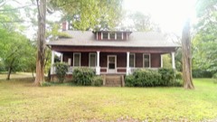 Israel Causey Houselisted 1975
 Riverview Carousel at Six Flags Over Georgialisted 1995
Population over time
2 figuresAustell grew from 6,581 to 7,713 between 2010 and 2020. These are the recorded population figures Wikidata holds for this place, reached through the Geographic Names Information System number this page is keyed on rather than by name, so they belong to this place and not to another of the same name. Most are census counts, but not all are: an early figure may be a founding or settlement estimate, and an estimate published within five years of a census is left out. The change column is computed, and is left blank where more than 20 years separate a figure from the one before it, because a gap that long is not a change between two counts.
| Year | People | Change |
|---|---|---|
| 2010 | 6,581 | |
| 2020 | 7,713 | +1,132 (+17%) |
Topographic sheets covering this place
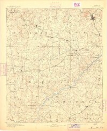
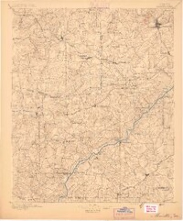
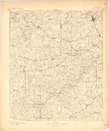
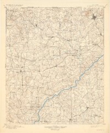
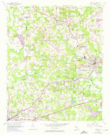
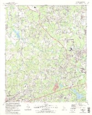
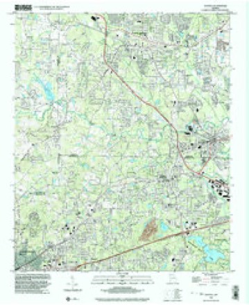
11 surveys from 20 printed sheetsMatched by testing this settlement's coordinate against the published boundary of every sheet in the United States Geological Survey's historical collection. Each opens the scanned sheet at the Survey.
- 1891 USGS Marietta quadrangle1:125000
- 1895 USGS Marietta quadrangle1:125000
- 1897 USGS Marietta quadrangle1:125000
- 1901 USGS Marietta quadrangle1:125000, 4 printings
- 1953 USGS Atlanta quadrangle1:250000, 2 printings
- 1954 USGS Austell quadrangle1:24000, 5 printings
- 1957 USGS Atlanta quadrangle1:250000
- 1958 USGS Atlanta quadrangle1:250000
- 1981 USGS Atlanta quadrangle1:100000
- 1992 USGS Austell quadrangle1:24000, 2 printings
- 1999 USGS Austell quadrangle1:24000




Fires near this place
59 since 1992Regional context, not property-specific evidence. The federal wildfire occurrence database lists 59 fires within 5 miles of Austell between 1992 and 2018, burning about 210 acres in total. 4 started naturally. 17 were recorded as arson. Distance is straight-line from the map coordinates, so a fire counted here may appear on a neighbouring settlement's page as well.
| Reported cause | Fires |
|---|---|
| Debris and open burning | 20 |
| Arson/incendiarism | 17 |
| Missing data/not specified/undetermined | 6 |
| Misuse of fire by a minor | 4 |
| Natural | 4 |
| Smoking | 3 |
| Recreation and ceremony | 3 |
| Equipment and vehicle use | 1 |
| Railroad operations and maintenance | 1 |
The most recent of them, most recent first, with the day each was reported and the service that recorded it.
| Date | Cause | Size | Reported by | Name on the report |
|---|---|---|---|---|
| 30 September 1993 | Debris and open burning | under an acre | Georgia Forestry Commission | not named |
| 16 September 1997 | Missing data/not specified/undetermined | 1.0 acres | Georgia Forestry Commission | not named |
| 12 September 1993 | Debris and open burning | 1.0 acres | Georgia Forestry Commission | not named |
| 2 August 1993 | Debris and open burning | under an acre | Georgia Forestry Commission | not named |
| 19 August 1993 | Missing data/not specified/undetermined | 4.0 acres | Georgia Forestry Commission | not named |
| 9 July 1993 | Arson/incendiarism | 1.3 acres | Georgia Forestry Commission | not named |
| 29 July 1995 | Natural | 3.0 acres | Georgia Forestry Commission | not named |
| 12 July 1993 | Missing data/not specified/undetermined | 3.0 acres | Georgia Forestry Commission | not named |
Settlements close enough to share some of these fires:
Mines and quarries near this place
1 within 5 milesRegional context, not property-specific evidence. The federal mineral resources record lists 1 working within 5 miles of Austell: 1 producer. All of them still produce. What was taken out: Stone, Crushed/Broken. Distance is straight-line from the map coordinates, so a quarry counted here may appear on a neighbouring settlement's page as well.
| Where | Site | Commodity | Status | Recorded |
|---|---|---|---|---|
| Lithia Springs Quarry | Stone, Crushed/Broken | Producer |
Storms near this place
26 since 1995Regional context, not property-specific evidence. The National Weather Service names Austell in 26 storm reports between 1995 and 2023: 12 hail, 9 thunderstorm wind, 3 flash flood, 1 lightning. The reports record 1 injury. Each account below is quoted exactly as the forecast office filed it, from the NOAA Storm Events Database, and each date opens the federal record of that event.
| When | Event | Place named | Harm | What the report says |
|---|---|---|---|---|
| August 1998 | Thunderstorm Wind | Austell | 1 hurt, $100,000 | A severe thunderstorm caused damage from near Austell to Marietta. Trees were uprooted or snapped off, falling on houses, vehicles, and power lines. One man was pinned for 3 hours by a tree that crashed through his home's roof. He sustained injuries but nothing was broken. Part of a Cobb county fire station's engine bay roof was peeled off. A chimney was knocked off of a house. Downed power lines left thousands without power into the next day. |
| April 2011 | Thunderstorm Wind | Austell | $400,000 | The Cobb County Emergency Management Director reported extensive and widespread thunderstorm wind damage across Cobb county from Austell, to Smyrna, to Vinings. The most significant damage was near Austell. In Austell, at least a dozen trees were down affecting five homes. Four of the homes suffered minor to moderate damage, while another suffered minor damage to its roof. The winds also ripped off a portion of the roof of a BJ's Warehouse building near Interstate-20. Wind damage to trees was also observed in the Smyrna area where a spotter measured at least a 52 mph wind gust on personal weather equipment. In Vinings, the public reported that a large sign was ripped off a store at a strip mall on Cobb Parkway with a tree down in the adjacent parking lot. Several power lines were also down between Austell and Vinings, leaving over 1000 people without power. In addition, several roads were blocked from downed trees. Nearly two dozen trees affected roads in eastern Cobb county, including Paces Ferry, Powers Ferry, Kings Ferry, Paper Mill, Cumberland Parkway, Hurt Road, Stillhouse Road, Mabry Road, and Milford Church Road. |
| July 2020 | Thunderstorm Wind | Austell | $50,000 | The Cob County 911 center reported numerous trees and power lines blown down across the county from the Powder Springs, Austell and Mableton areas to East Cobb. A tree fell onto a truck on 6 Flags Road and a tree fell onto a house on Concord Close Circle SE. No injuries were reported. |
| July 1997 | Lightning | Austell | $15,000 | Lightning struck a petroleum tank, causing fumes to ignite. The seven million gallon gas tank contained a little more than 6.1 million gallons when it ignited. |
| May 2010 | Flash Flood | Austell | $3,000 | The USGS stream gage on Nickajack Creek at the U.S. Highway 78 bridge reached its flood stage of 10.0 feet at 706 am EDT. The creek crested at 13.4 feet at 1015 am EDT before beginning to fall. Sweetwater Creek near Austell was nearly up to the bridge at Perkerson Mill Road. Several roads in the area were closed. Portions of Six Flag were submerged in standing water during the height of the heavy rain and flooding. No damage was reported at the park, however. Damage across the county was confined to minor debris removal from areas adjacent to the creek. |
| July 1998 | Hail | Austell | $2,000 | Numerous public reports indicated hail ranging from dime size to as large as baseball size fell in Cobb county. The hail covered the ground in some areas. One large tree was also reportedly blown down. |
| June 2022 | Thunderstorm Wind | Austell | $1,000 | Small tree snapped at Fessenden Ave and Washington St. |
| August 2006 | Thunderstorm Wind | Austell | $1,000 | The Atlanta Journal-Constitution reported that thunderstorm wind gusts knocked a couple of trees and power lines down in the Austell area. Consequently, around 20,000 people in the area were left without power during the afternoon. |
| October 2006 | Thunderstorm Wind | Austell | $1,000 | The Douglas County 911 Center relayed a report of two trees that were down just across the county line in extreme southern Cobb county near Austell. This damage was caused by the same thunderstorm that blew down two trees in Douglas county. |
| February 2005 | Thunderstorm Wind | Austell | $1,000 | The Austell Fire Department reported that a few trees were down in the city. |
| January 2023 | Thunderstorm Wind | Austell | - | Report of a building collapse off of the Cobb county side of Oak Ridge Rd. |
| January 2023 | Tornado (EF1) | Austell | - | As a line of strong to severe thunderstorms moved through the west Atlanta metropolitan area and into southwest Cobb county, a brief tornado spun up near the intersection of Oak Ridge Rd and Oak Ridge Pkwy SW, which is about a half-mile to the north of I-20. The tornado immediately caused damage to the 18 Wheeler Truck Parts & Chrome building, causing a portion of an exterior wall to collapse. A door was open on the back side of the building, providing a failure point as tornado winds entered the building. The tornado moved northeastward across Ivy Pointe Row SW and Ivy Log Dr SW, where several large and tall trees were snapped and caused damage to roofs and walls of homes. The tornado then turned east-northeast, bringing down additional trees onto Ivy Log Dr SW, Maple Log Pl SW, and Poplar Log Pl SW. Two homes on Poplar Log Pl SW sustained major damage as large trees fell on the home, removing portions of the roof and walls, which were then tossed by the tornado winds. The tornado then turned east-southeastward, uprooting several trees on Hembree Ln SW and Blair Bridge Rd SW, once again falling on homes and causing structural damage. The tornado continued onto William Rd, snapping and uprooting about a dozen trees before finally lifting and dissipating over Myra Ln SW. |
| January 2023 | Thunderstorm Wind | Austell | - | Tree down near intersection of Ivy Pointe Row and Oak Ridge Rd. |
| February 2020 | Flash Flood | Austell | - | A report was received via social media of flash flooding of Carol Way in Austell. Radar estimates indicate that 3 to 5 inches of rain occurred over the area in a short period of time. |
| May 2012 | Hail | Austell | - | The public reported that pea to dime sized hail fell in Austell. |
| April 2011 | Hail | Austell | - | Amateur radio operators relayed several reports of quarter-sized hail from Austell to Smyrna. |
| December 2005 | Hail | Austell | - | Several reports of nickel to quarter-sized hail were received from the public from Austell to Mableton. In Austell, the hail was reported to have been covering the ground. |
| May 2002 | Hail | Austell | - | The public reported dime size hail. |
| July 2002 | Hail | Austell | - | The public reported dime size hail. The public also reported that 1.8 inches of rain fell in about 30 minutes. |
| April 2000 | Hail | Austell | - | The public reported dime size hail. |
| August 1998 | Hail | Austell | - | Numerous public reports indicated hail ranged from dime to quarter size. One report was of golf ball size hailstones. |
| September 1997 | Hail | Austell | - | The public reported quarter sized hail in Austell in south Cobb county. |
| April 1998 | Hail | Austell | - | no account filed |
| January 1996 | Flash Flood | Austell | - | no account filed |
| April 1996 | Hail | Austell | - | no account filed |
| April 1995 | Hail | Austell | - | no account filed |
Nearest settlements
The eight closest, with where each one stands in the county. Distances are straight-line, computed from the Geographic Names Information System coordinates.
| Map | Place | Distance | Sheets |
|---|---|---|---|
| Cheyenne Estates | 0.8 miles | 19 | |
| Oak Hill | 1.2 miles | 19 | |
| Brenda View | 1.2 miles | 19 | |
| Sherwood Park | 1.4 miles | 20 | |
| Furniture City | 1.4 miles | 19 | |
| Creelwood | 1.4 miles | 19 | |
| Clarkdale | 1.5 miles | 20 | |
| Gordon Acres | 1.5 miles | 19 |
Elsewhere
Matched on this settlement's Geographic Names Information System number rather than its name, so it cannot be a different place of the same name in another state.
| Wikipedia article on Austell | An encyclopaedic summary. Its text is share-alike, so it is linked here rather than copied. |
| Wikidata item Q2688463 | The structured record the population and elevation above come from. Public domain (CC0). |
Provenance
This settlement is recorded in the Geographic Names Information System as feature 354416. The sheet list is computed by point-in-boundary test against the United States Geological Survey's historical topographic inventory. Both are works of the United States government and carry no copyright under 17 U.S.C. 105.
Wildfire. Short, Karen C. 2022. Spatial wildfire occurrence data for the United States, 1992-2020 [FPA_FOD_20221014]. 6th Edition. Fort Collins, CO: Forest Service Research Data Archive. https://doi.org/10.2737/RDS-2013-0009.6 Collected with United States Government funding and usable without additional permissions or fees.
Mines and quarries. USGS Mineral Resources Data System (MRDS) https://mrdata.usgs.gov/mrds/ A work of the United States government, no copyright under 17 U.S.C. 105.
Storms. NOAA National Centers for Environmental Information, Storm Events Database https://www.ncei.noaa.gov/stormevents/ A work of the United States government, no copyright under 17 U.S.C. 105. Narratives are quoted verbatim from the National Weather Service report and are not edited or summarised.