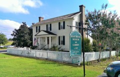
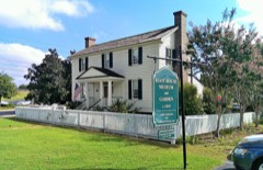
Block
From the record
48 National Register listings published here.
Sources: the National Register database, National Park Service
113 topographic sheets and 13 fire insurance atlases across 3 places.
48 National Register listings published here.
Sources: the National Register database, National Park Service
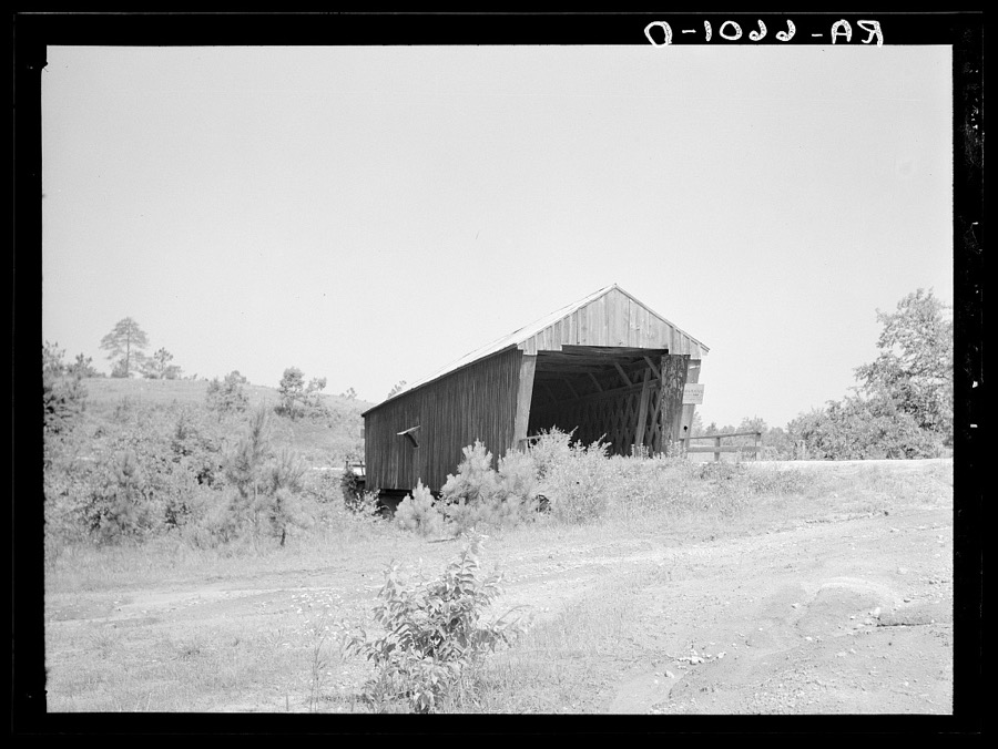
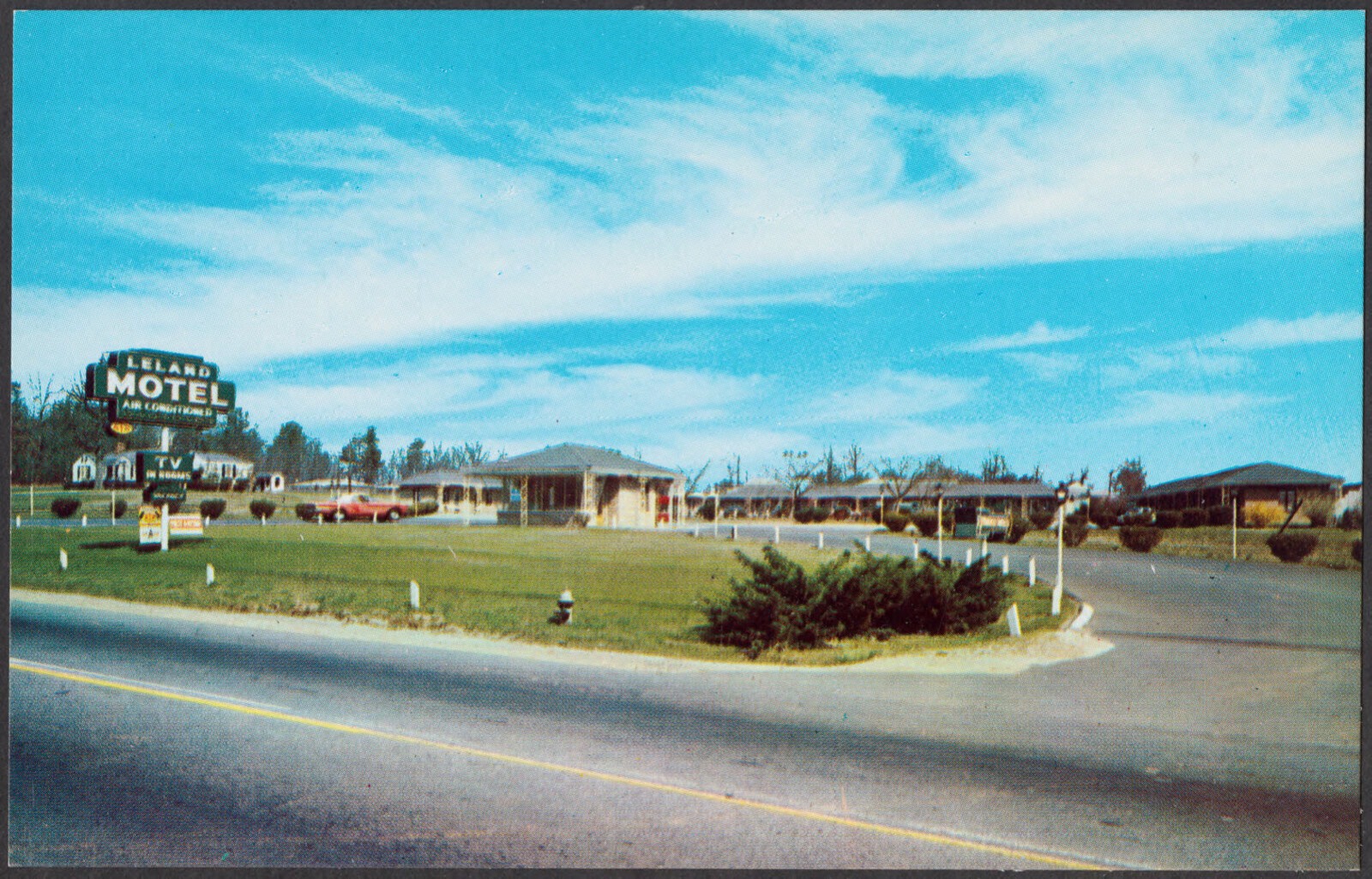
Taken for the Office of War Information and the Farm Security Administration, who photographed the country between 1935 and 1944. Works of United States government photographers, with no known restriction on use. Each opens its catalogue record.













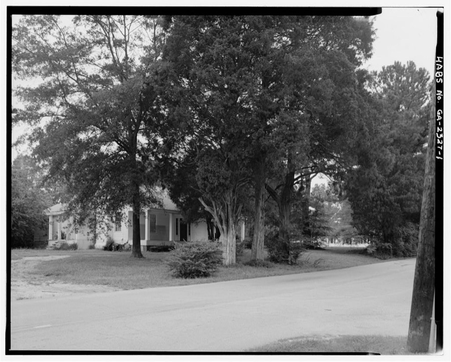
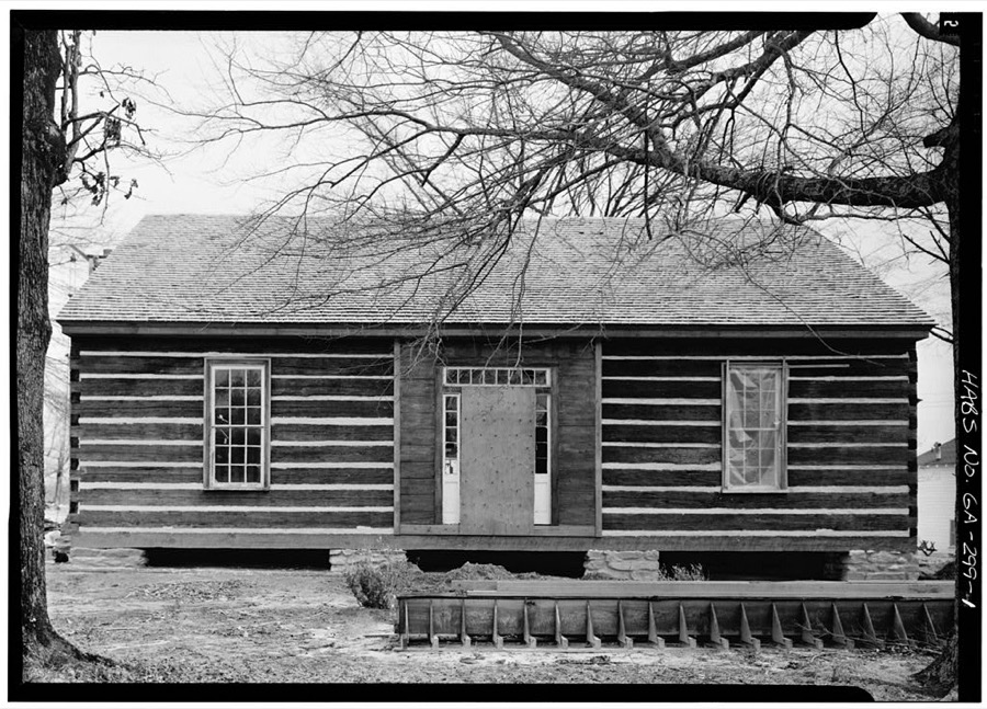
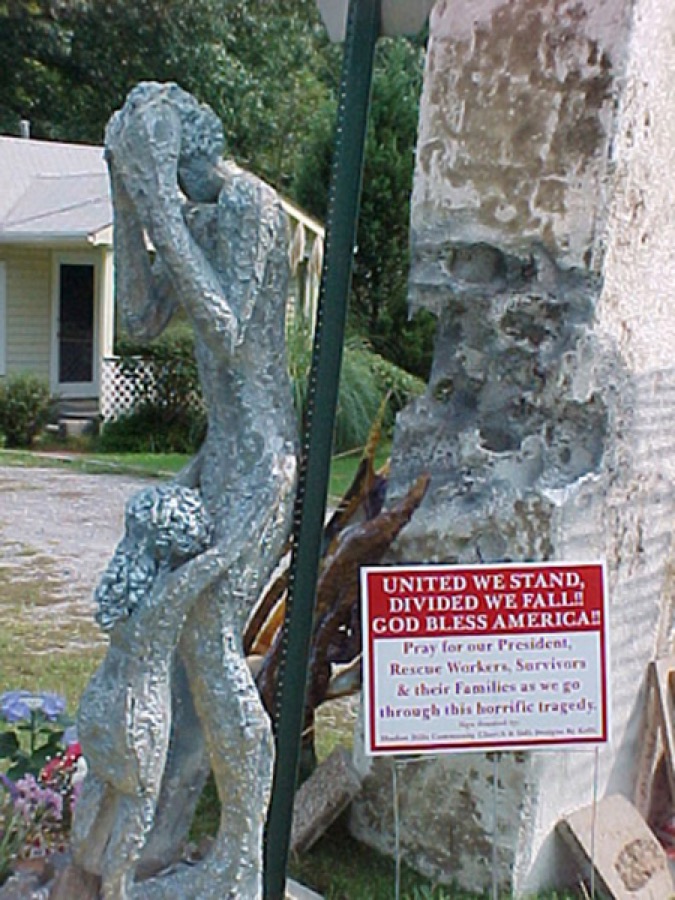


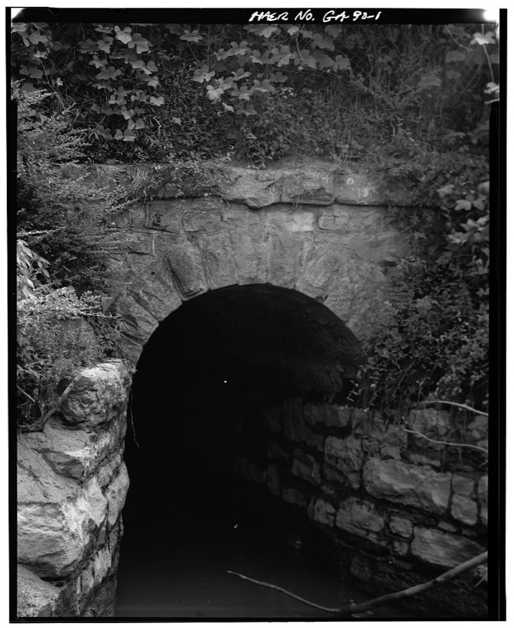


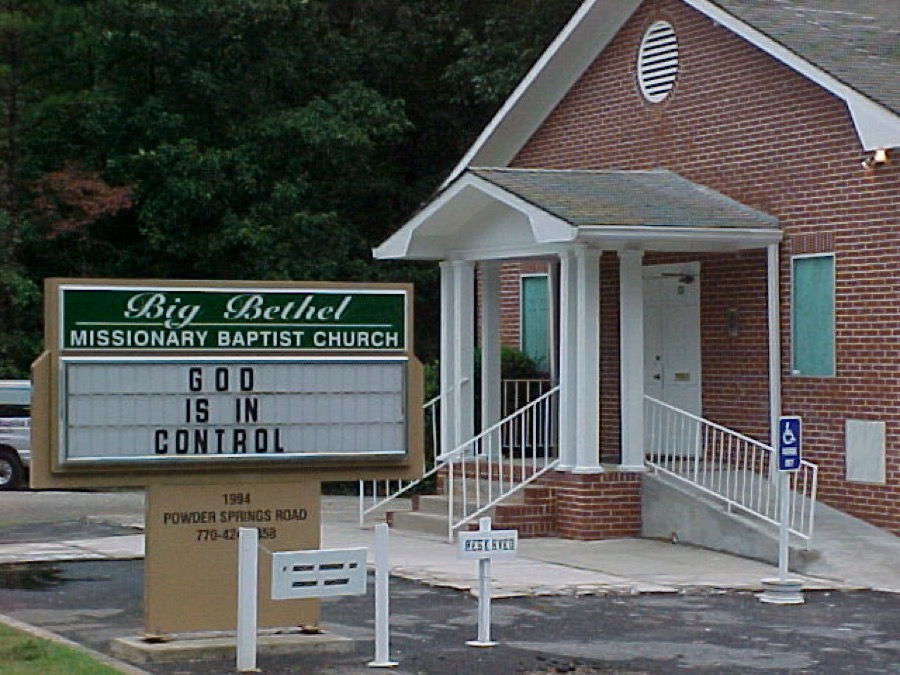
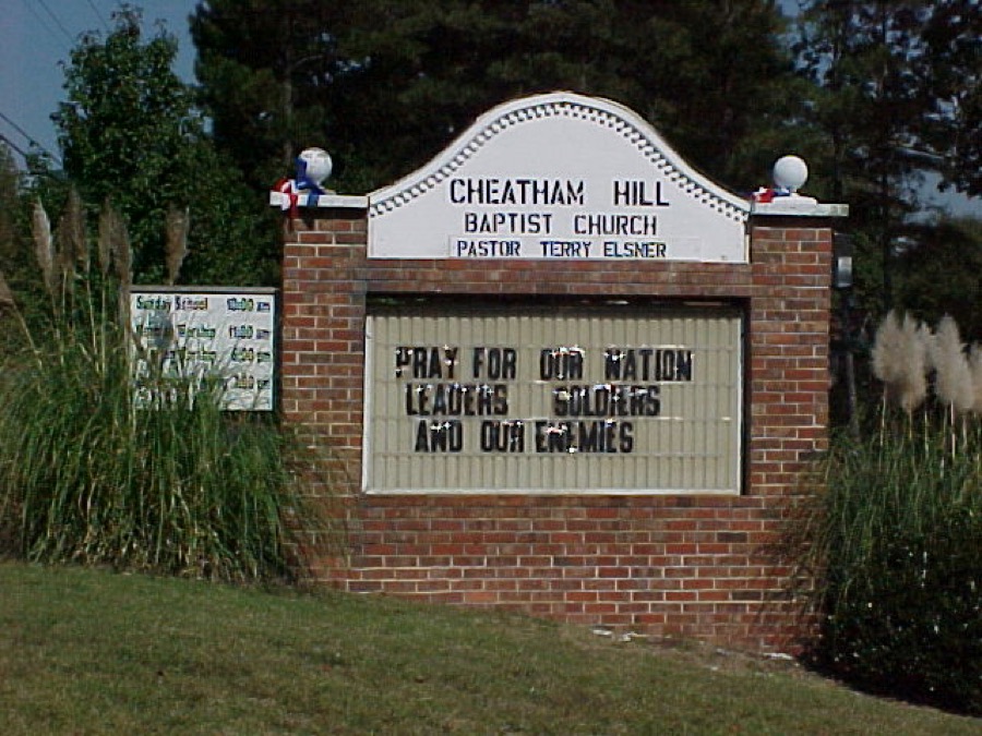
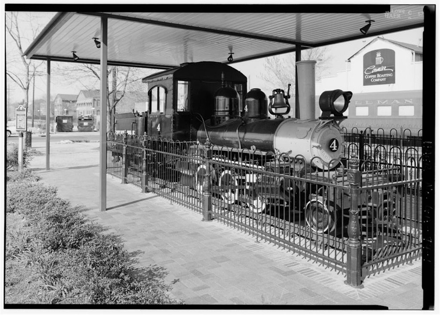
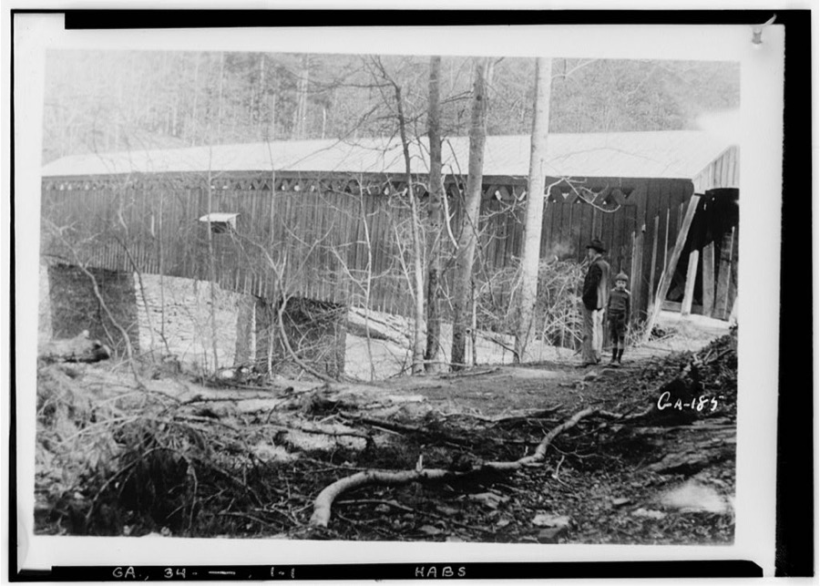

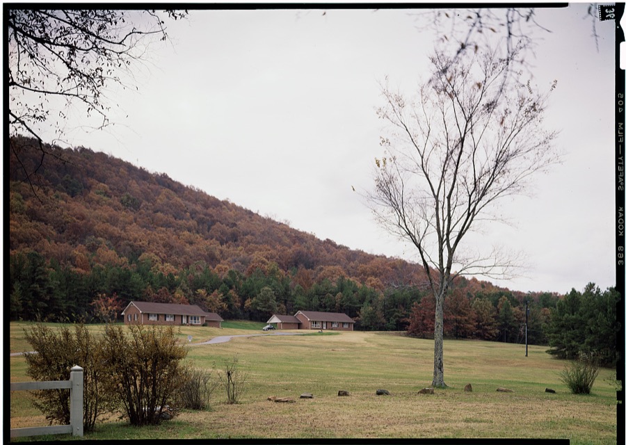
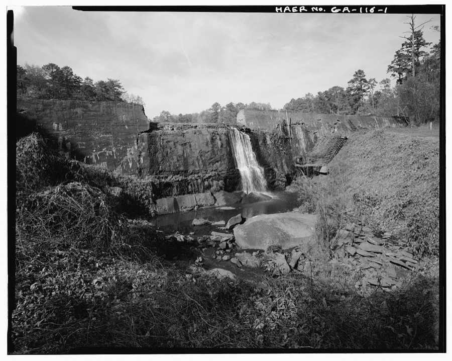
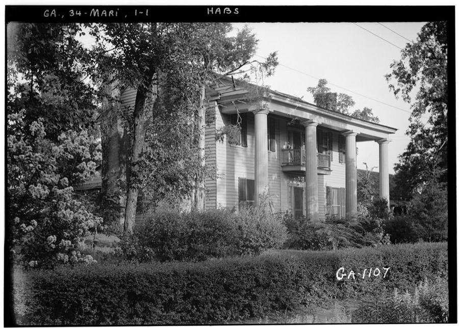
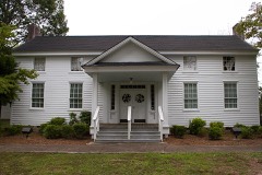
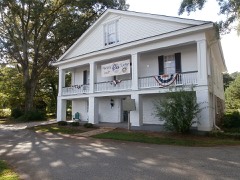
Every property in this county listed on the National Register of Historic Places, with the year it was listed and the federal nomination document.
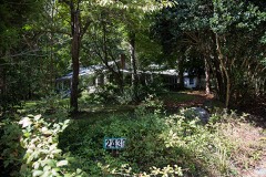
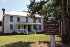
Cobb County has 1 covered bridge on the National Register. Each is a listed structure with a federal nomination on file.
 | Ruff's Mill and Concord Covered Bridge | Listed 1980 |
Sampled issues, machine-read from the Library of Congress scan and published page by page, so every headline and column is searchable text.
Marietta, Georgia; Marietta, Ga., 1866 to 1909. Machine-read from the Library of Congress scan.
Marietta, Ga., 1918 to 1944. Machine-read from the Library of Congress scan.
Marietta, Ga., 1909 to 1918. Machine-read from the Library of Congress scan.
Drawn when these were printed as single large sheets: the town seen from the air, and the county divided into its farms with every owner named. Each opens the original at the Library of Congress.
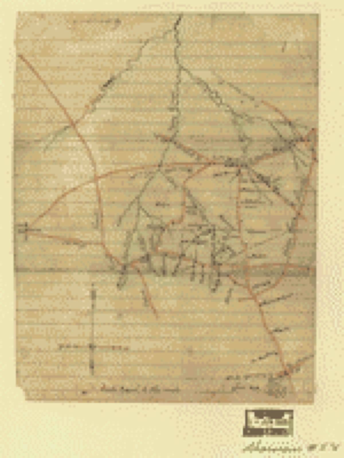

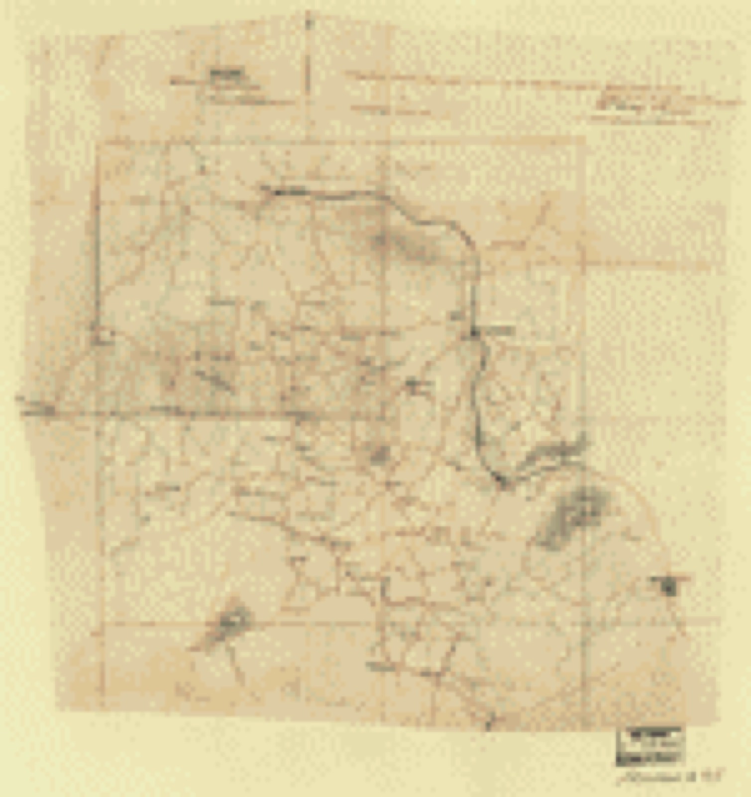
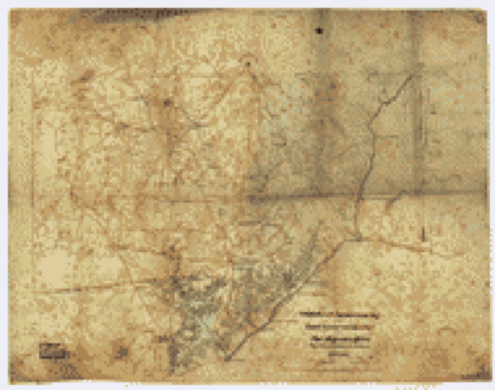
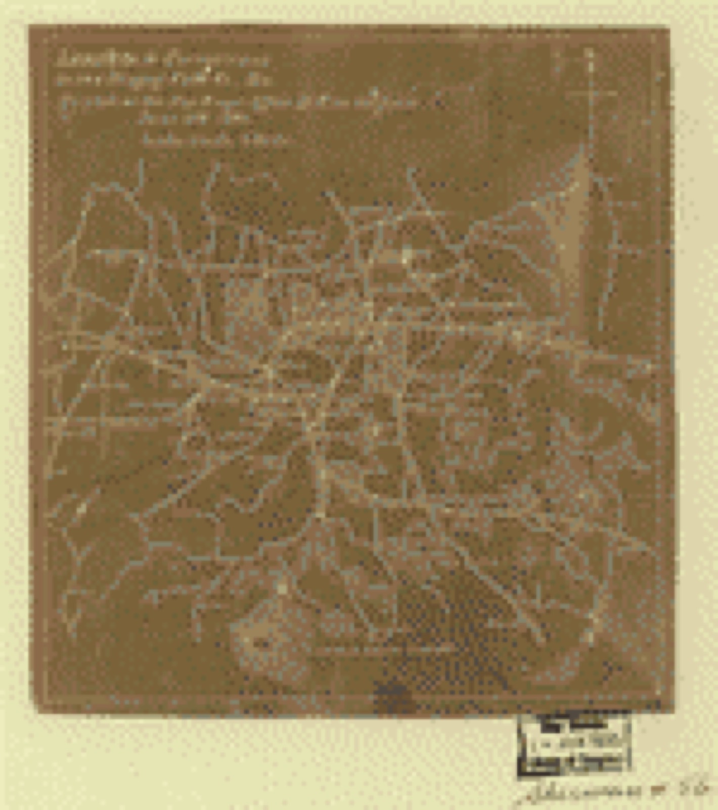
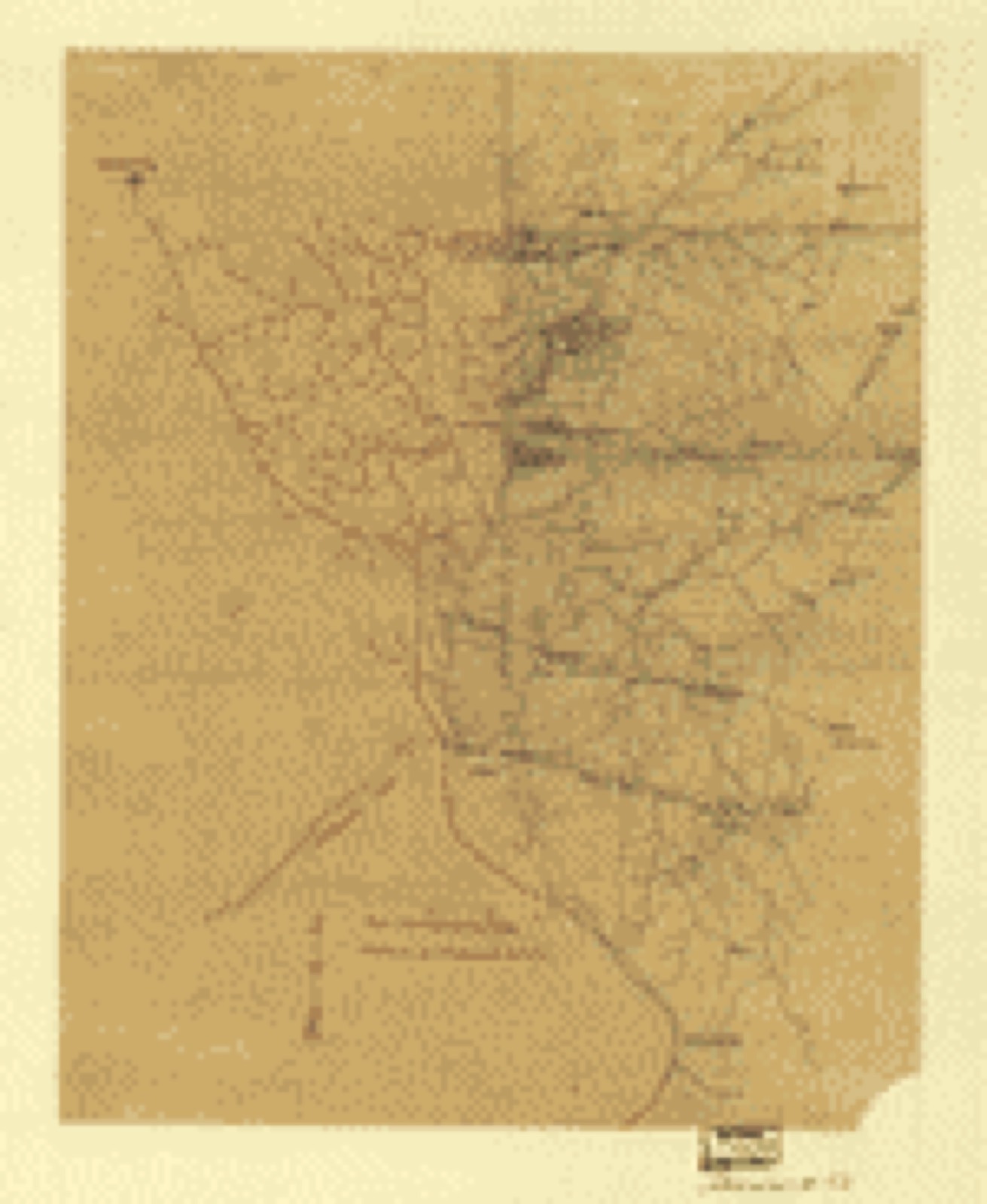
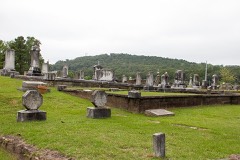
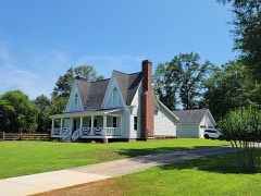
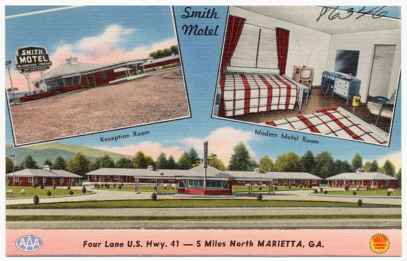
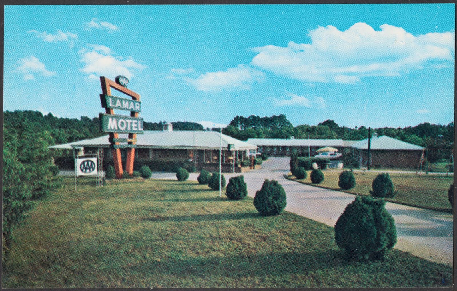
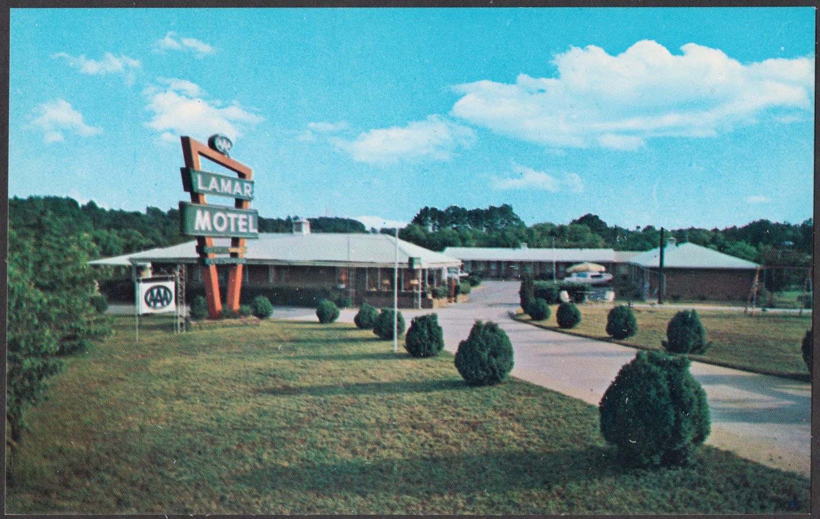
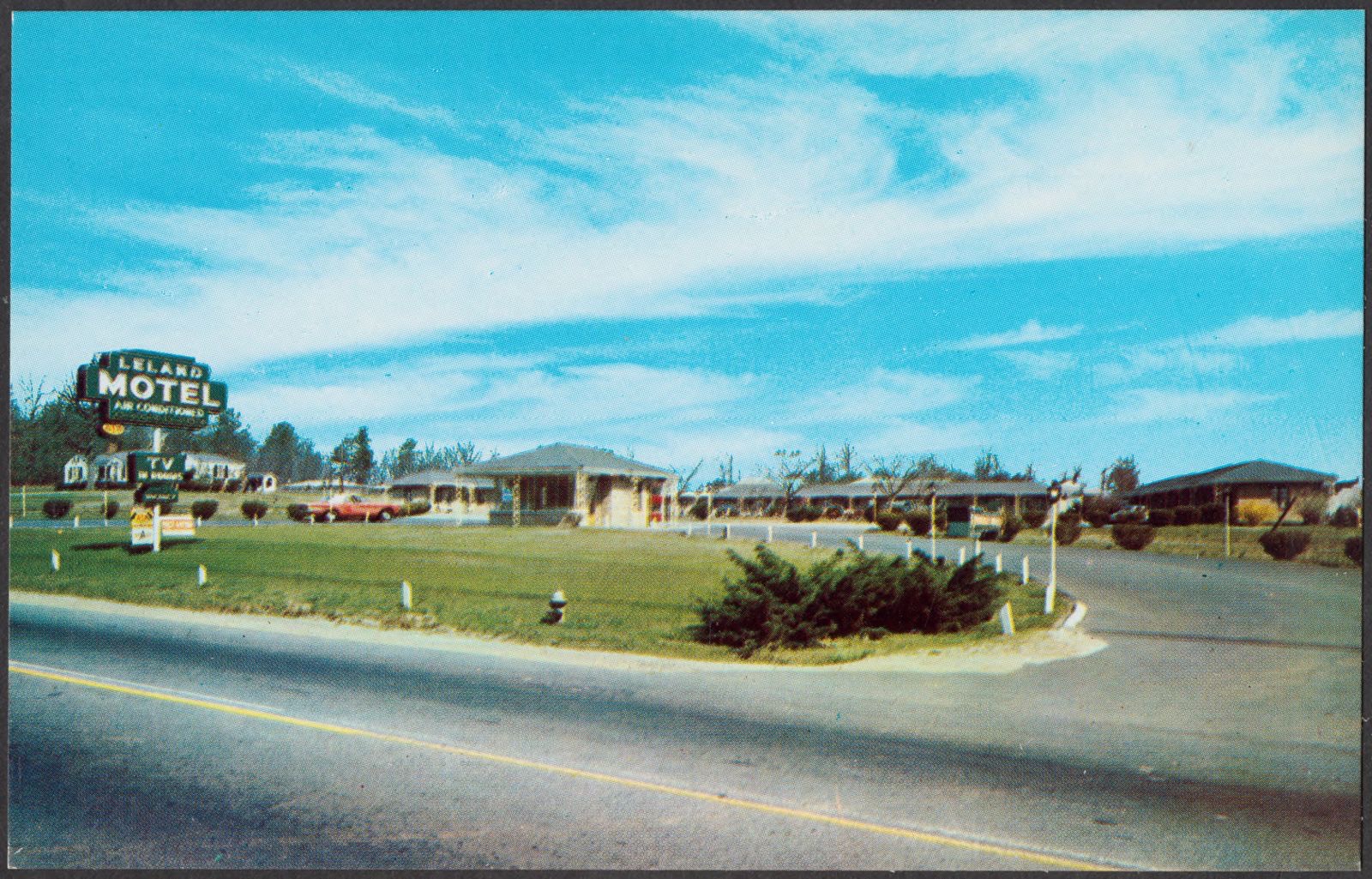
Selected from the Digital Public Library of America's 12 image records catalogued for this county. Every one shown here carries a public-domain status or a licence that permits reuse on a site that carries advertising; non-commercial, share-alike and restricted images are excluded. The selection is spread across the county's towns (at most eight per town), so no single institution's bulk upload crowds out the rest. Each opens the holding library's record, and the complete set at the Digital Public Library of America is one click away.

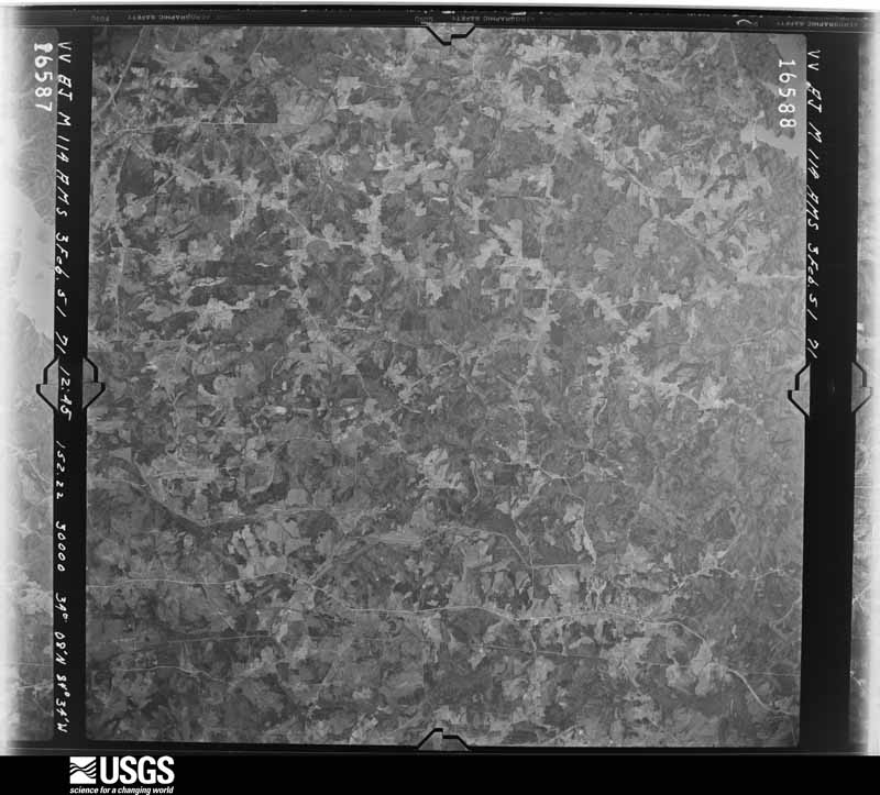
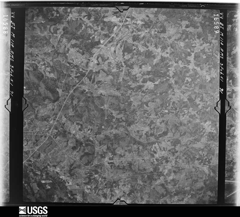
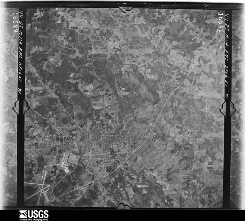
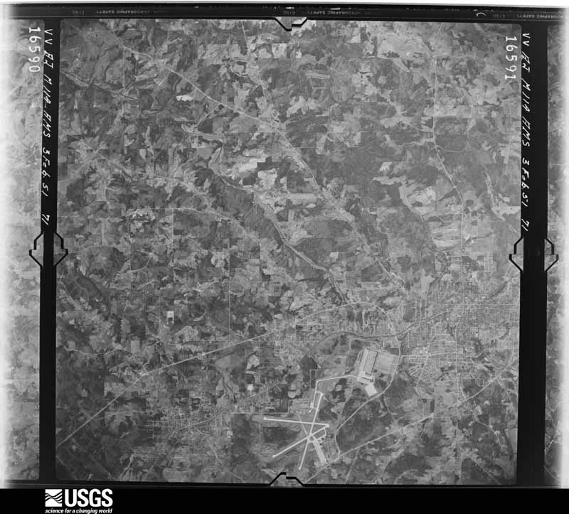
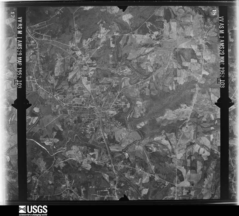
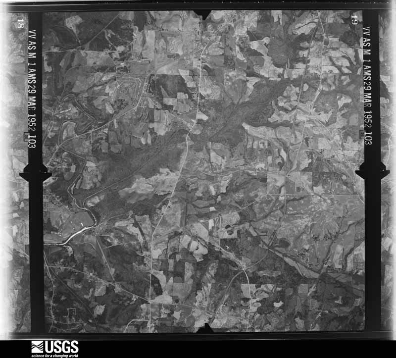
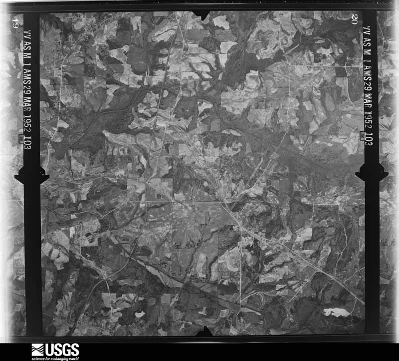
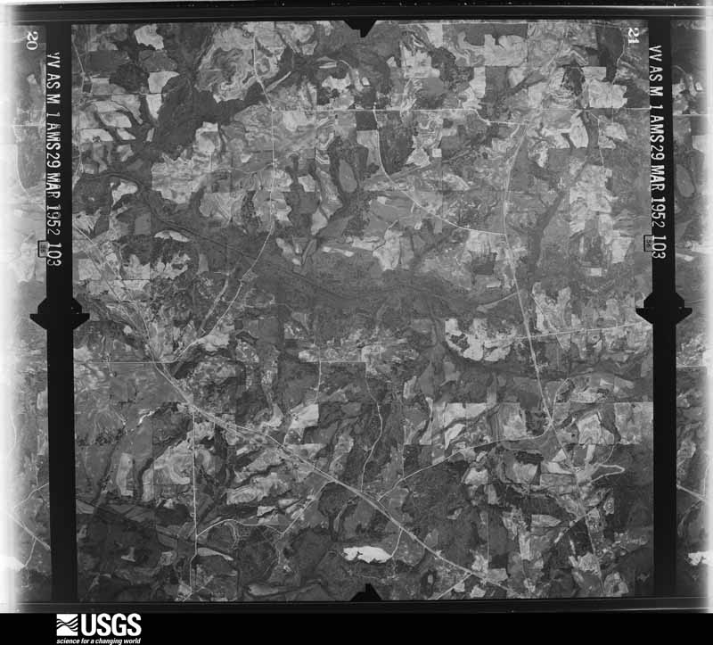
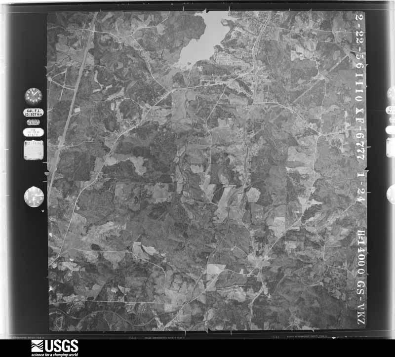
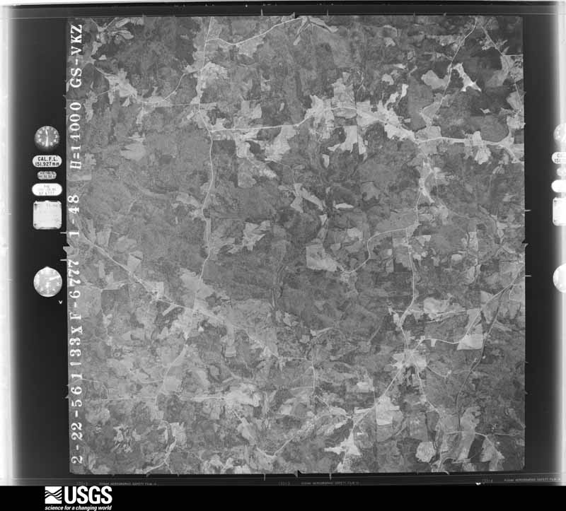
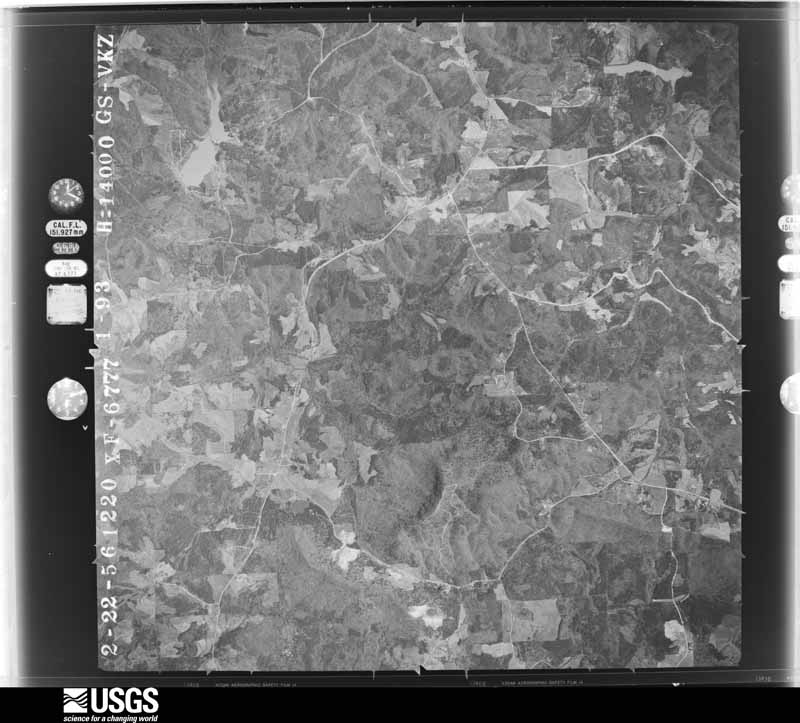
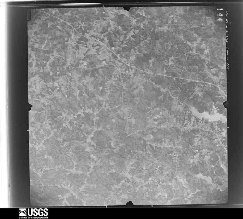
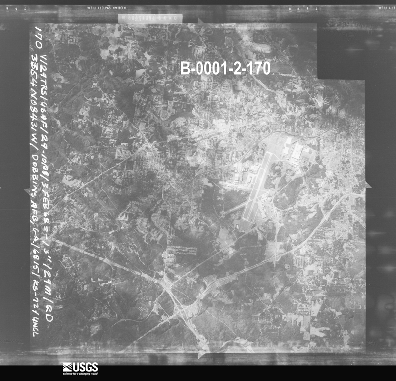
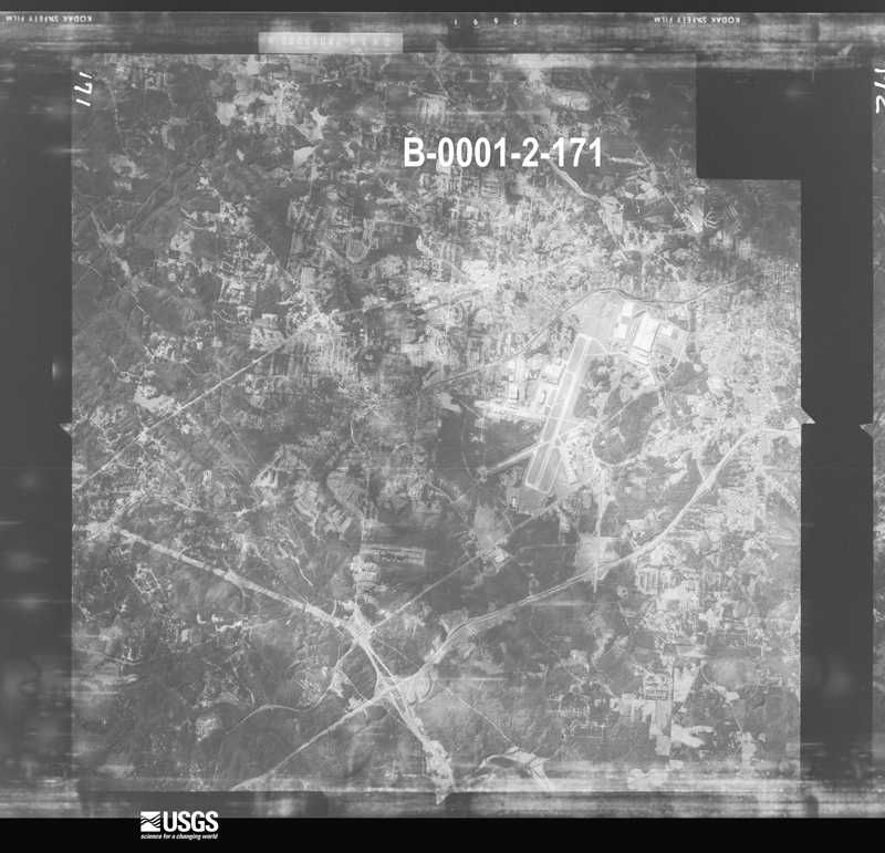
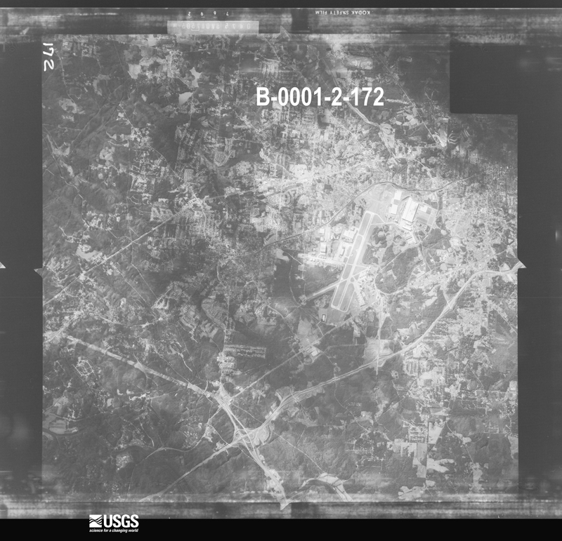
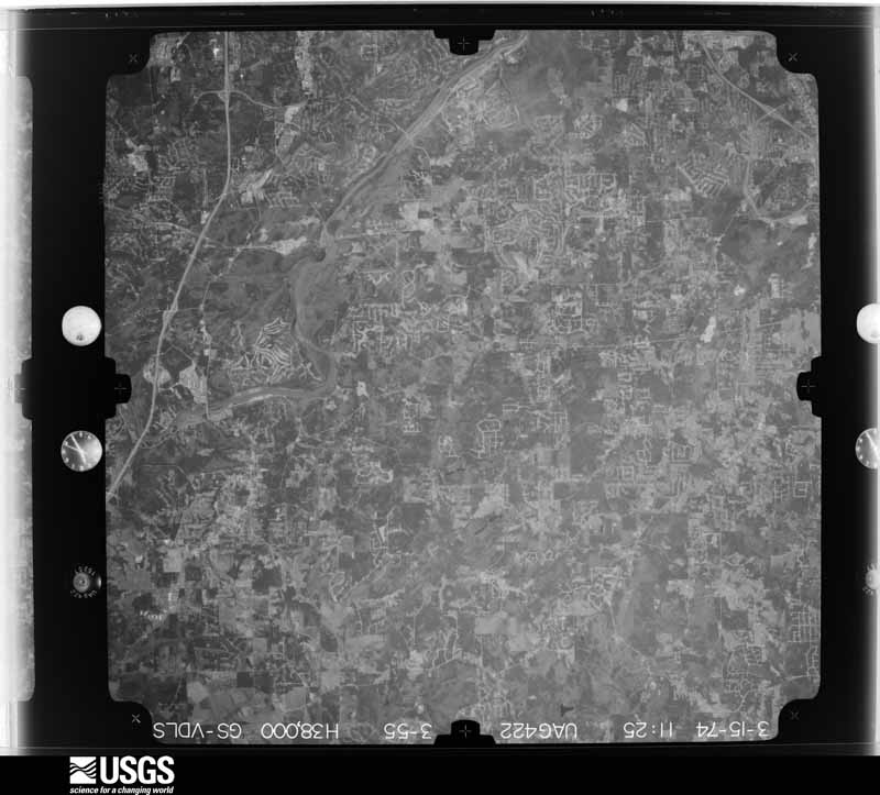
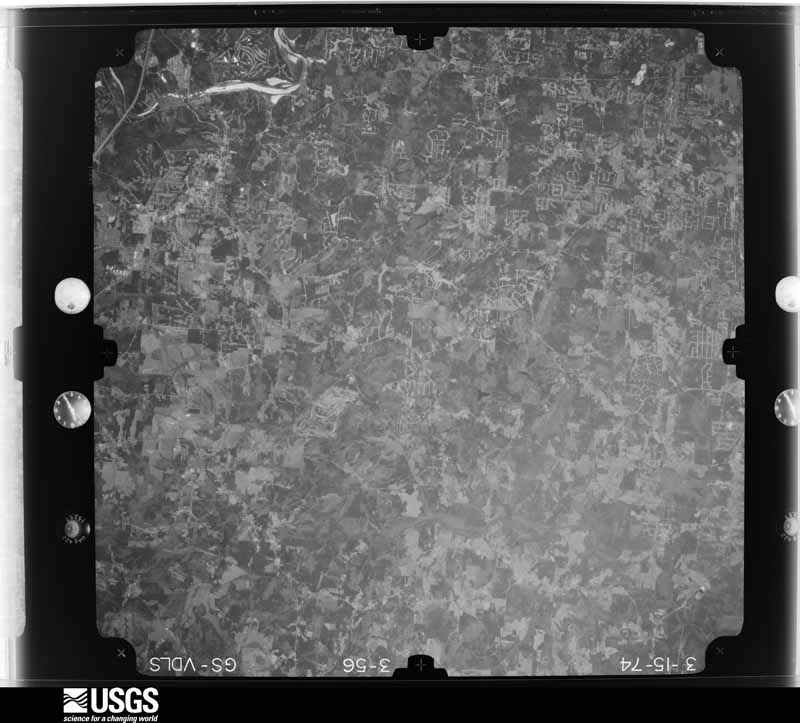
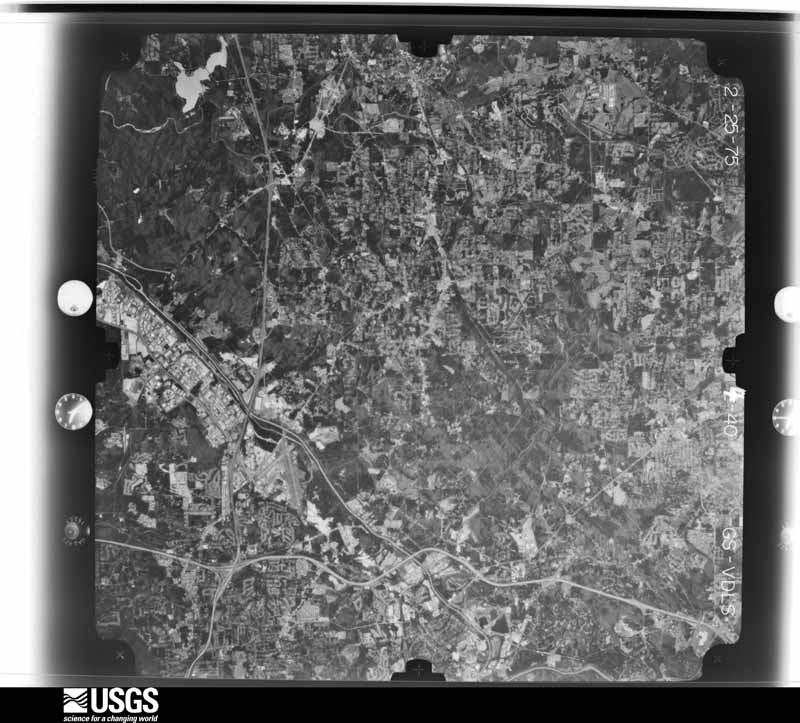
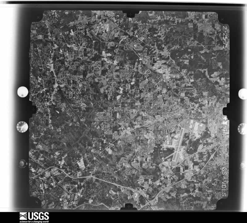
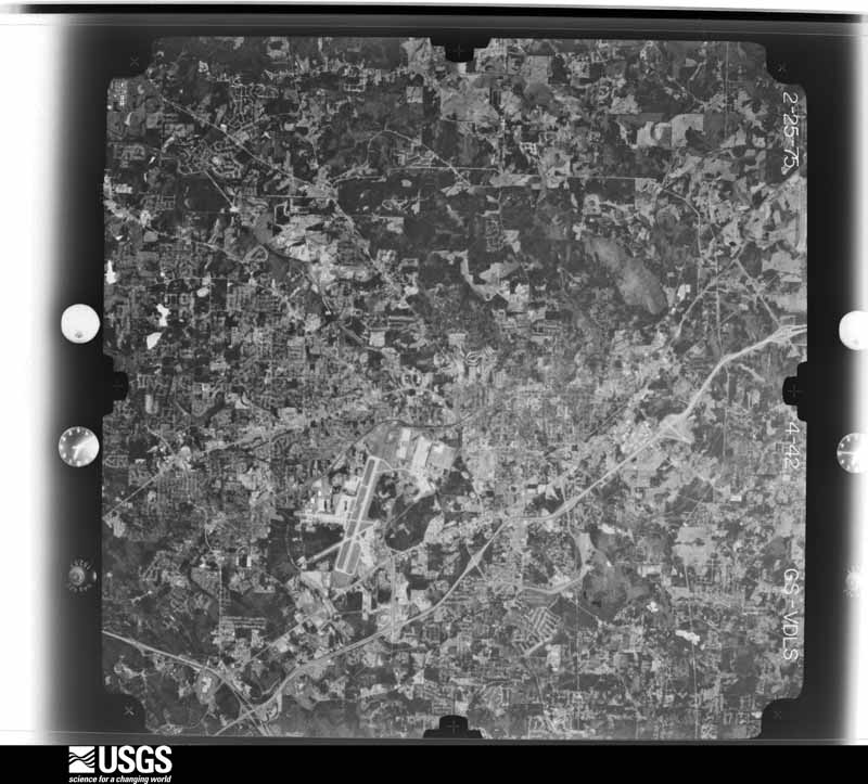
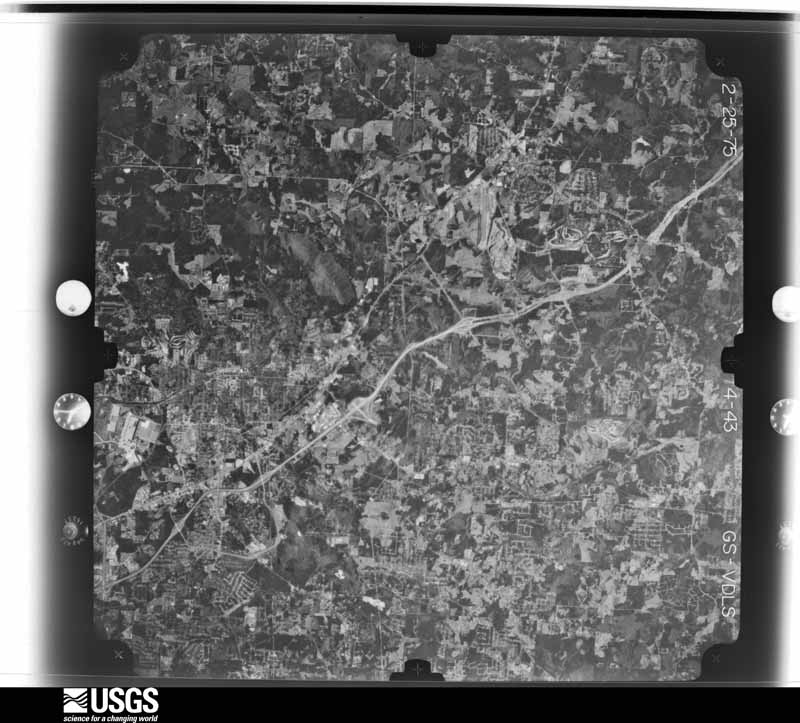
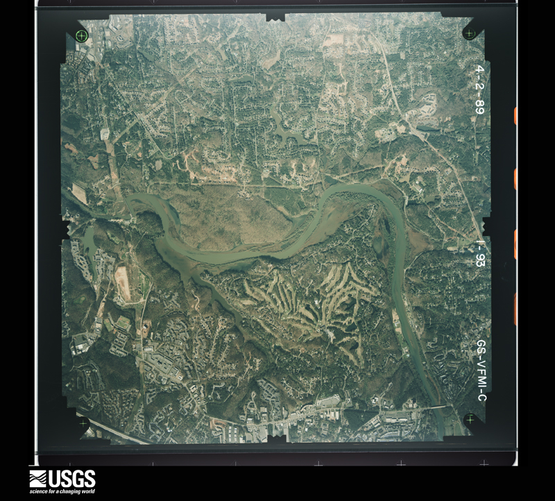
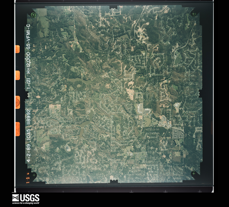
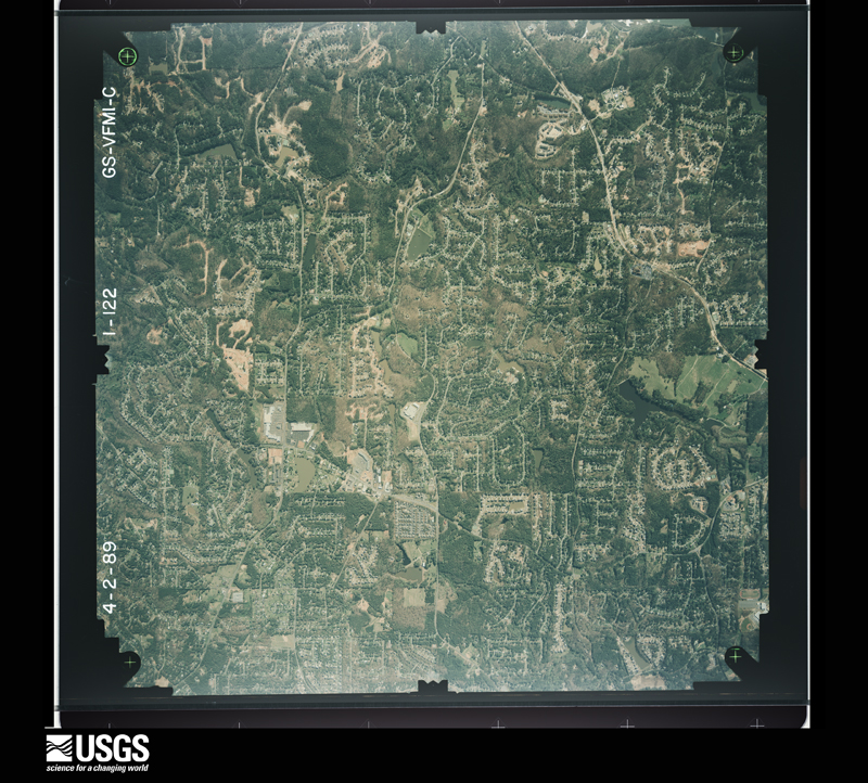
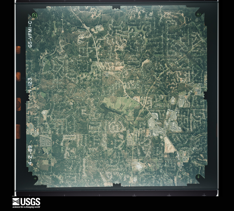
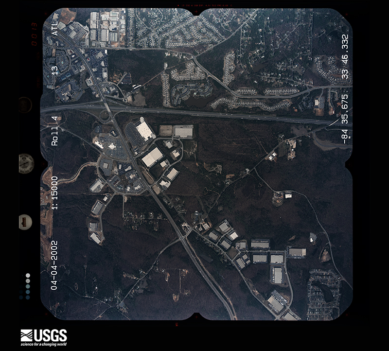
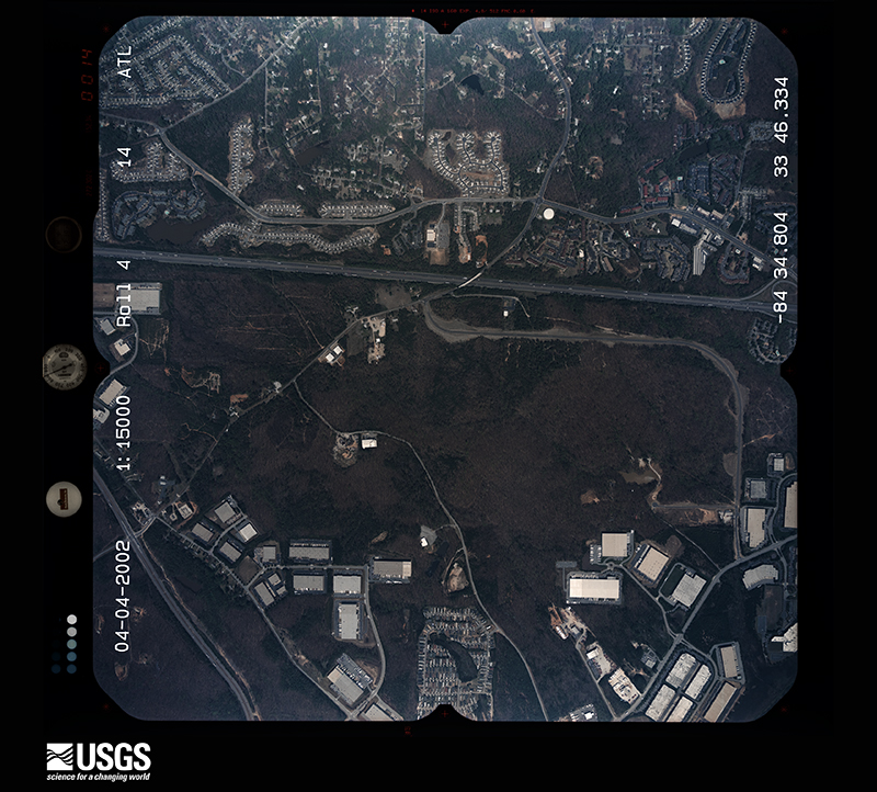
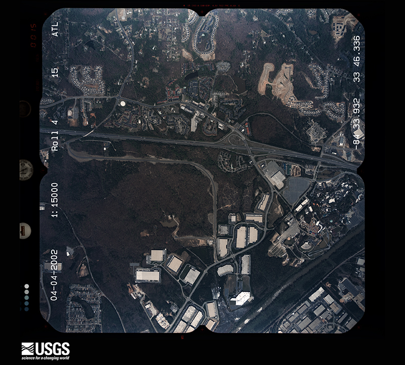
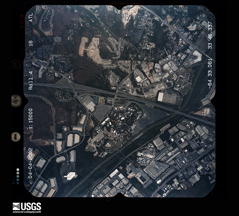
Flown by the U.S. Geological Survey between 1937 and 1989, the Aerial Photo Single Frames collection is the definitive mid-century view of the land: fields, roads and rivers as the camera saw them. The Survey holds 1,865 frames inside the rectangle that bounds this county; the 48 frames below were taken over the county itself, chosen across the decades of flights (at most four a year from that rectangle), so one flight cannot crowd out the rest. The full set is free to browse and download at EarthExplorer under the dataset Aerial Photo Single Frames.
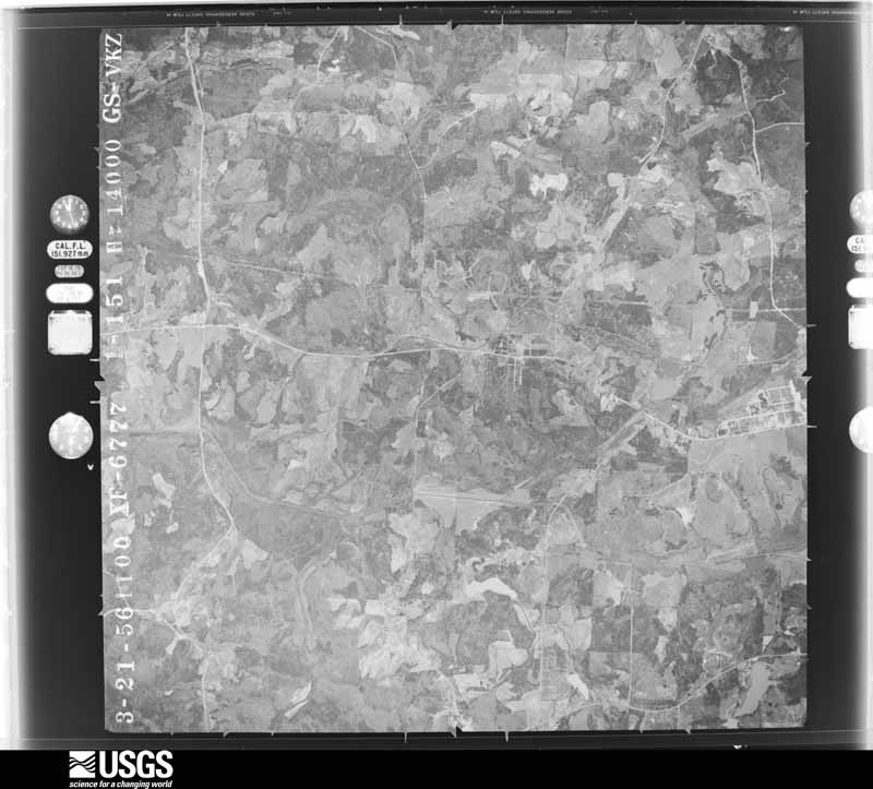
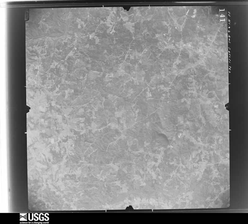
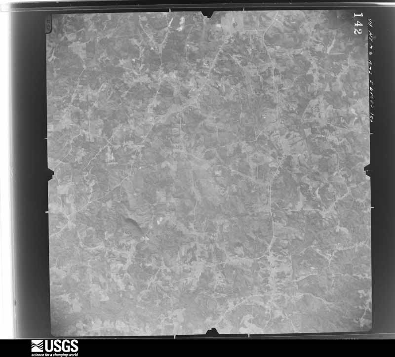
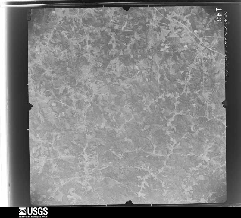
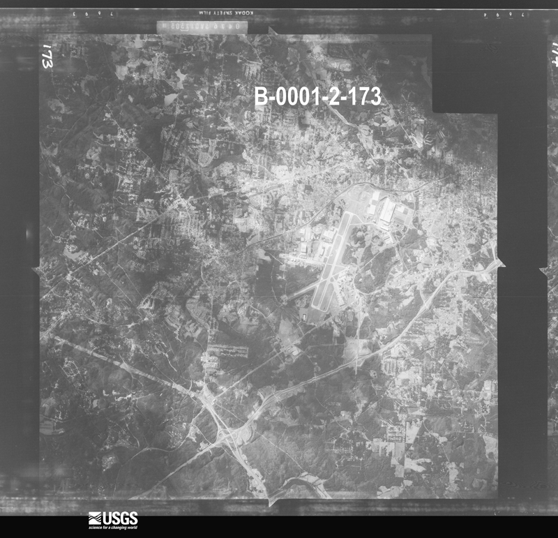










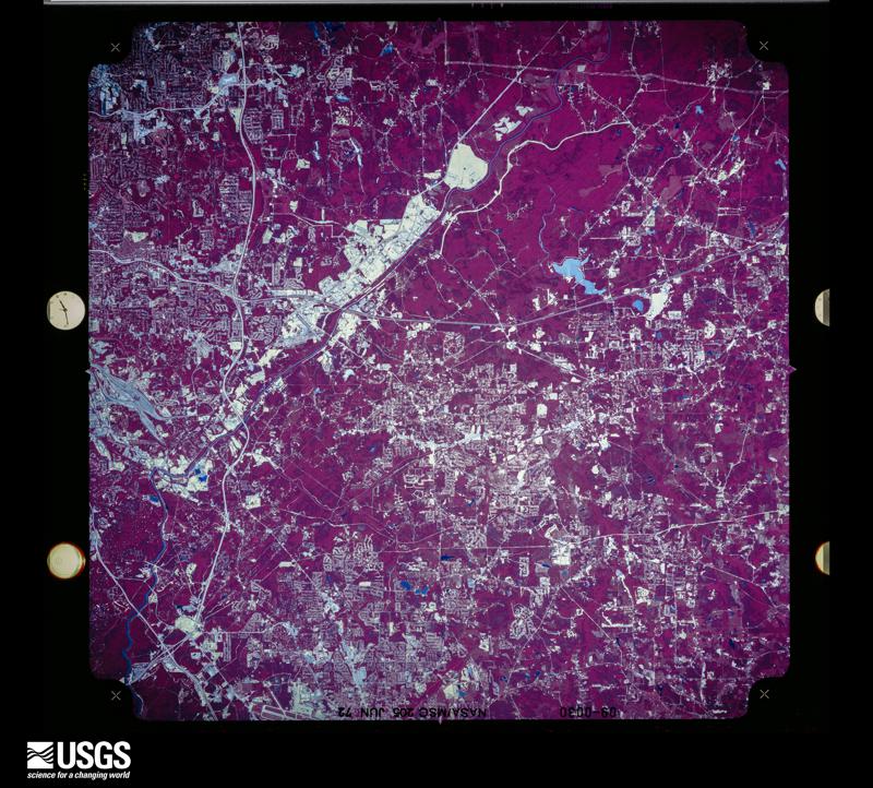

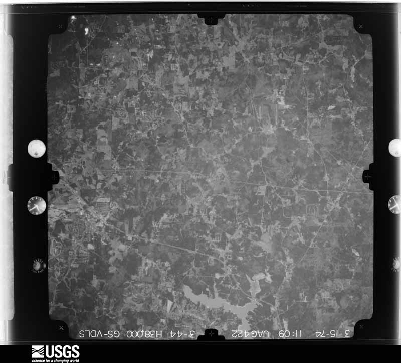
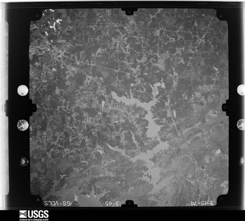
The thermometers that kept this county's weather, and the gages that measured the flow of its streams, as the federal records hold them. The extremes below are measured values from those records, not estimates.
Who lived here in 1950, one enumeration district at a time, as the Census Bureau described each district. Each row opens its official National Archives result, with Population Schedules and ED Maps available there.
Every wildfire the federal occurrence database records inside this county: 195 of them, burning about 486 acres. 11 started naturally and 55 were recorded as arson. Each settlement page carries the fires within five miles of it.
| Reported cause | Fires |
|---|---|
| Debris and open burning | 69 |
| Arson/incendiarism | 55 |
| Missing data/not specified/undetermined | 22 |
| Misuse of fire by a minor | 14 |
| Natural | 11 |
| Recreation and ceremony | 10 |
| Equipment and vehicle use | 6 |
| Smoking | 4 |
| Railroad operations and maintenance | 4 |
The five largest, by the area the report gives. Four of them were set deliberately.
| Date | Cause | Size | Reported by | Name on the report |
|---|---|---|---|---|
| 10 November 2001 | Debris and open burning | 29 acres | Georgia Forestry Commission | FY2002-CHEROKEE-024 |
| 27 May 1995 | Arson/incendiarism | 20 acres | Georgia Forestry Commission | not named |
| 15 May 2001 | Natural | 20 acres | Georgia Forestry Commission | FY2001-BARTOW-094 |
| 2 December 1993 | Recreation and ceremony | 18 acres | Georgia Forestry Commission | not named |
| 29 January 2011 | Arson/incendiarism | 16 acres | Georgia Forestry Commission | FY2011-COBB-020 |
| 15 March 1994 | Misuse of fire by a minor | 15 acres | Georgia Forestry Commission | not named |
| 19 March 1994 | Arson/incendiarism | 13 acres | Georgia Forestry Commission | not named |
| 30 March 2007 | Arson/incendiarism | 12 acres | Georgia Forestry Commission | not named |
Every settlement page carries the fires within five miles of it - see the settlement index below.
The NOAA Storm Events Database holds 609 reports for this county, causing 8 deaths, 374 injuries and about $241,285,600 in recorded property damage. Each settlement page carries the reports that name it.
| Kind of event | Reports |
|---|---|
| Thunderstorm Wind | 250 |
| Hail | 222 |
| Lightning | 49 |
| Flash Flood | 38 |
| Tornado | 31 |
| Flood | 9 |
| Heavy Rain | 7 |
| Funnel Cloud | 2 |
| Winter Storm | 1 |
The most serious of them, by death, then injury, then recorded damage. The accounts are quoted exactly as the forecast office filed them.
| When | Event | Place named | Harm | What the report says |
|---|---|---|---|---|
| June 1995 | Tornado (F1) | Smyrna | 4 killed, 250 hurt | A preliminary survey confirmed a small F1 tornado touched down for less than 30 seconds. Path width 30 yards...Length 100 yards. A Dairy Queen sustained the worst damage, as the roof was completely destroyed. A pay phone on the southeast side of the building held the roof up, sparing the lives of the 30 people inside. Four of the occupants sustained minor injuries. A business sign next door to the restaurant was knocked over. A Chevy van was picked up and moved although there appeared to be only slight cosmetic damage to it. |
| July 2010 | Lightning | Leland | 2 killed | WXIA Television of Atlanta reported that two teenage girls were struck by lightning while standing under a tree adjacent to their home at the Windwood apartments, just south of Mableton. The 16-year old female died shortly after being transported from the scene to the hospital. Her 14-year old cousin died on July 21st after being hospitalized in critical condition and on a respirator since the lightning strike on the 13th. |
| June 2011 | Thunderstorm Wind | Acworth | 1 killed, $30,000 | The Atlanta Journal-Contstituation and the Cobb County 911 Center reported that dozens of trees were down throughout the county. A 55-year old Marietta woman was killed instantly when a large tree fell on her vehicle while traveling along Powers Ferry Road. Many power outages were noted around the county for up to four hours in some areas. |
| July 2002 | Lightning | Marietta | 1 killed, $3,000 | Several newspapers, including the Atlanta Journal-Constitution, the Marietta Daily Journal, the Columbus Ledger Enquirer, and the Macon Telegraph, as well as the Cobb county Emergency Management Agency and local Atlanta TV stations, reported on a lightning strike and subsequent death to a 49-year old woman from Marietta who was hiking in the Kennesaw National Battlefield park. The woman was hiking on Kennesaw Mountain in the National Battlefield park with her husband and dog. No rain was falling at the time, but thunderstorms surrounded the area with considerable cloud-to-ground lightning activity. The lightning struck the woman at 6:52 pm EDT while she was approximately 30 feet ahead of her husband around a bend in the trail. Her husband found her flat on the ground, immediately after the strike, unconscious, but still alive at the time. She was immediately transported to a local hospital where she was pronounced dead on arrival. In addition to this incident, two homes in the Marietta area were set on fire by lightning strikes during this same round of thunderstorms. |
| November 1992 | Tornado (F4) | not stated | 34 hurt, $25,000,000 | no account filed |
| March 1991 | Tornado (F3) | not stated | 25 hurt, $25,000,000 | no account filed |
| March 1986 | Tornado (F2) | not stated | 15 hurt, $25,000,000 | no account filed |
| May 2001 | Lightning | Mt Bethel | 8 hurt | The Atlanta Journal and Constitution, as well as the Marietta Daily Journal, reported that 8 people were struck and injured by lightning. These people were part of a group of 20 people having a picnic at Lake Bishop in northeast Cobb county. The people were injured when lightning struck a pine tree under which they had sought shelter during a strong thunderstorm. |
| August 2014 | Lightning | Powder Spgs | 7 hurt | The Emergency Manager reported a lightning strike injured seven people near Powder Springs. Three were taken to a local hospital and the other four were treated on the scene. |
| April 1974 | Tornado (F2) | not stated | 7 hurt | no account filed |
| February 1993 | Tornado (F3) | Lost Mountain to | 3 hurt, $50,000,000 | The tornado touched down near Lost Mountain in Western Cobb County and proceded on an east southeat path across rural portions of the county, initially uprooting mainly trees and downing power lines. As the tornado moved over Marietta it touched down and caused severe damage to two condominium complexes, a large strip shopping center, and several apartment complexes. Over 400 condominiums, apartments, businesses, and mobile homes sustained damage from the tornado. Of the 400 structures damaged, 113 were mobile homes. In Marietta, several mobile home parks were severely damaged near Dobbins Air Force Base. Several businesses and industrial parks in Marietta sustained major damage. Box cars were pushed off railroad tracks. Numerous trees, poles, and power lines were downed which caused extensive power outages. Many of the trees were twisted or snapped in half. Over 9,100 Marietta Georgia Power customers lost their power as a result of the tornado. |
| April 1991 | Tornado (F0) | not stated | 3 hurt, $250,000 | no account filed |
| February 1990 | Tornado (F2) | not stated | 2 hurt, $2,500,000 | no account filed |
| December 2024 | Tornado (EF1) | Blackwells | 2 hurt, $50,000 | A brief EF1 tornado damaged approximately a dozen homes from numerous large trees that fell on them. Most of the damage occurred on Corral Dr. One home was nearly destroyed by a large pine tree and caused 2 injuries. |
| June 1998 | Lightning | Marietta | 2 hurt, $50,000 | Lightning injured a man on a road maintenance crew on Canton Road near I-75. Another man was injured by lightning off Barrett Parkway near Kennesaw. Seven structure fires resulted from lightning strikes. |
| September 2014 | Lightning | Marietta | 2 hurt | Two roofers in Marietta were struck by lightning and hospitalized. |
| May 1984 | Thunderstorm Wind | not stated | 2 hurt | no account filed |
| June 1994 | Tornado (F2) | Kennesaw to Kennesaw | 1 hurt, $5,000,000 | A tornado touched down in the Big Oaks subdivision two miles southwest of Kennesaw Mt. National Battlefield Park along Georgia Highway 120 at the intersection of Villa Rica and Friendship Church Roads. The tornado continued on the ground and moved northeast across Georgia Highway 120 through the Martin Ridge subdivision before dissipating at the Burnt Hickory Road at the base of Kennesaw Mountain. The tornado left a path one quarter mile wide and destroyed 20 homes, severely damaged an additional 80 homes and downed six to seven hundred trees. Damage estimated of property was estimated around 3 million dollars. Only one minor injury was reported with this storm. Residents who heard warning sirens took cover about five minutes prior to the touchdown. They stated that they heard sounds of a roaring train as the tornado passed overhead. Dallas Highway (Georgia Highway 120) was closed for several hours as numerous trees were downed across the roadway by tornadic winds. Over 14,000 residences and businesses were without power for at least six hours due to power lines downed by tornadic winds. |
| February 2014 | Thunderstorm Wind | Marietta Afs | 1 hurt, $500,000 | Broadcast media and the public reported multiple trees down in the Marietta area, including West Paces Ferry Road, Windy Hill Road, and Lower Roswell Road. At the intersection of Oak Knoll Drive and Cross Gate Drive, multiple trees were down, including one that fell on a home and injured a child. |
| April 1972 | Tornado (F1) | not stated | 1 hurt, $250,000 | no account filed |
| July 2003 | Thunderstorm Wind | Acworth | 1 hurt, $150,000 | The Cobb county 911 center, the public, and the Marietta Daily Journal all reported that a number of trees and power lines had been blown down throughout the county, but especially between Acworth, Kennesaw, and throughout the Marietta area. A number of trees were down on roads, including Lower Roswell Road and Allgood Road. A home sustained significant damage on Jim Owens Road near the Kennesaw/Acworth border and another tree was down on a house at a residence on Allgood Road in Marietta. Two small private planes were pulled free from their tie downs at McCollum field in Marietta and flipped onto their backs. Both planes sustained significant damage as a result. A woman, who was 9-months pregnant at the time, suffered minor injuries when a tree struck the windshield of her Sport Utility Vehicle (SUV). Dobbins Air Force Base, just southeast of Marietta, recorded a wind gust of 66 miles per hour at 136 pm EDT. At least 5000 homes around the county were left without power for a number of hours. |
| July 2015 | Thunderstorm Wind | Powder Spgs | 1 hurt, $100,000 | Reports of numerous trees and power lines blown down across Cobb County were received from the Cobb County Emergency Manager, the Cobb County 911 Center and from the public. The most significant damage included approximately 60 trees snapped or up-rooted along Stilesboro Road and multiple trees downed in the Gordon Combs Road and Fallwood Drive areas. Large trees were downed in the Burnt Hickory Road and Caisson Road areas as well. Several trees fell on houses and automobiles. One injury was reported when a tree fell on a house on Gordon Combs Road, however the extent of the injury was not known. |
| August 1998 | Thunderstorm Wind | Austell | 1 hurt, $100,000 | A severe thunderstorm caused damage from near Austell to Marietta. Trees were uprooted or snapped off, falling on houses, vehicles, and power lines. One man was pinned for 3 hours by a tree that crashed through his home's roof. He sustained injuries but nothing was broken. Part of a Cobb county fire station's engine bay roof was peeled off. A chimney was knocked off of a house. Downed power lines left thousands without power into the next day. |
| April 2002 | Lightning | Powder Spgs | 1 hurt, $25,000 | The Marietta Daily Journal reported that a large oak tree on Villa Rica Road in Powder Springs was struck by lightning. The tree split and fell on a man's truck. The truck was totaled, but the male passenger inside only sustained minor injuries. |
| August 2000 | Lightning | Marietta | 1 hurt, $15,000 | The Atlanta Journal and Constitution reported that lightning struck and set two homes on fire, as well causing a fire at The Landings apartment complex on Powers Ferry Road. The extent of the damage was unknown. In another instance, lightning injured an individual at a home 6 miles northeast of Dobbins Air Reserve Base. |
| June 1996 | Thunderstorm Wind | Marietta | 1 hurt, $15,000 | no account filed |
| June 2010 | Lightning | Elizabeth | 1 hurt | WSB Television of Atlanta reported that lightning struck and injured a man hiking at the Kennesaw National Battlefield Park. |
| June 2010 | Lightning | Acworth | 1 hurt | CBS Atlanta reported that a 14-year old boy was struck by lightning during an afternoon thunderstorm while taking shelter under a tree adjacent to Lake Acworth. The boy was taken to the hospital after being administered CPR by one of his friends. The lightning was said to have struck his lower back and then traveled through his body coming out of his ear and the top of his shoulder blades. He had to be revived three times as he was not breathing and had no pulse after the lightning strike. |
| July 1989 | Thunderstorm Wind | not stated | 1 hurt | no account filed |
| April 1998 | Tornado (F2) | Smyrna | $15,000,000 | The same supercell that had tracked from Alabama across Haralson and Paulding counties spawned another tornado in Smyrna. The touchdown was along Windy Hill Road just west of Cobb Parkway where a commercial building sustained heavy damage. A filling station and car dealership less than a block east also sustained heavy damage. There was $500,000 to $750,000 in damage to new cars. Trees over a foot in diameter were snapped or uprooted. In total, 59 buildings were damaged, but no injuries were reported. Aerial and ground surveys by NWS employees showed the path varied from 100 to 200 yards wide with a length of about 3 miles. The tornado crossed just into Fulton county near I-285 and the Chattahoochee River. Dime to quarter size hail and other wind damage were also reported in north and central Cobb county. |
| September 2009 | Flood | Acworth | $12,600,000 | Cobb county emergency management personnel and USGS stream gages confirmed that record to catastrophic flooding continued across much of the county. Hundreds of homes, apartments, businesses, and roads sustained damages from flooding. Many culverts and/or bridges were washed out and several roads were closed. Some of the worst flooding during this event occurred in the Cobb and Douglas county area. Flood waters began to recede after 830 am EDT on the 22nd, but many locations remained in major to record flood through 715 am EDT on the 23rd. Monetary damage from flooding continued to mount, with damage during this time frame exceeding $12.5 million. |
| September 2009 | Flood | Noonday | $11,400,000 | Record, and in some cases catastrophic, flooding continued to expand across the northern and western portions of the Atlanta metropolitan area as renewed rounds of showers and thunderstorms with very heavy rain tracked repeatedly over the same areas throughout the day. Portions of hundreds of roads in the county were closed from flooding and washed out bridges and/or culverts. Hundreds of homes, apartments, and businesses sustained significant flood damage. Record flooding was occurring on the Chattahoochee River at Vinings and on Sope Creek near Marietta. Monetary damage during this time frame across Cobb county was estimated to be at least $10,000,000. Total damages for Cobb county during this time frame were nearly $11.5 million. |
| July 2005 | Flash Flood | Countywide | $6,000,000 | Extensive flooding was reported across much of Cobb county and was on par with the flood damage reported in Douglas County. Rainfall across the county averaged 8-10 inches, but some areas received as much as a foot or more of rain from late afternoon on July 10th through the early morning hours of the 11th. Flood levels reached 100-year levels in many areas of the county. One resident even reported that the water reached a 500-year flood level according to flood certification papers they had received. Some parts of the county were under as much as six feet of water. Dozens of homes were flooded with water up to a foot deep in some homes, damaging homes and ruining personal possessions and belongings inside. The Red Cross estimated a combined total of 700 damaged homes between Douglas and Cobb counties. In Cobb county, at least 100 of these were outside the flood plane. Severeal businesses also sustained major flooding, with damage to government property alone estimated at $2.3 million dollars. The Clay Road Baptist Church was completely flooded, with water more than half-way up the walls of the structure. Dozens of roads and some bridges were washed out, including Malone Road, of which about 50 feet collapsed when flood waters washed out supporting 60-inch storm water culvert. A 12-inch water main was also washed out during the incident. A number of vehicles were also submerged or became stranded in flood waters. All together, 38 roads in the county had to be closed. Rescues were required in various areas of the county, many by boat. Several people had to be rescued from the Old Fashioned Foods Building in Austell during the height of the flooding. National Weather Service river gages indicated extensive flooding of creeks and streams across Cobb county as rainfall of 8 to 10 inches was widespread across all the southern portions of the county and 6 to 8 inches across the north. Noses Creek on Powder Springs Road near Powder Springs rose to a new gage height of 19.1 feet by 330 pm on the 11th. Nickajack Creek near U.S. Highway 78/278 near Mableton reached a record gage height of 16.6 feet. Both stages exceeded that reported during Hurricane Ivan on September 17, 2004. In addition, Sope Creek in Marietta rose above its flood stage 12.0 feet at 548 am EDT, crested at 15.2 feet at 930 am EDT, and fell below flood stage at 211 pm EDT. As with Douglas County, damages were estimated at at least $6,000,000. |
| April 2006 | Tornado (F1) | Noonday | $5,990,000 | A survey conducted by the National Weather Service in Peachtree City, GA concluded that a second and stronger F1 tornado affected far northern Cobb county and continued eastward into North Fulton county. The tornado touched down in the Noonday community or about seven miles north of Marietta just south of the intersection fo Canton Road/Georgia Highway 5 and Jamerson Road and traveled east a more or less continuous 18-mile long path into North Fulton county. Substantial damage was reported to homes and trees at the tornado's initial touchdown point in the Jamerson subdivision. At least 60 homes in the Jamerson subdivision sustained damage, 10 with major damage and 50 with minor damage. In addition, at least 200 trees were down in this area. Intermittent damage continued eastward from this point toward North Fulton county. Minor damage was reported to several homes in the Sweat Mountain area just before the tornado crossed into North Fulton county. Within Cobb county, this tornado traveled a 7-mile long path with a path width of anywhere from 10 to 200 yards. The overall path length of this tornado, including both Cobb and Fulton counties, was 18-miles long.Cobb county officials reported that tornado damage in the county consisted of:13 residences destroyed75 residences with major damage57 residences with minor damage38 residences affected1 commercial property destroyed10 commercial property with major damage16 commercial property with minor damage1 commercial property affected825 trees down30 roads impacted because of downed trees and power linescosting Cobb County $122,000 |
| September 2009 | Flood | Acworth | $5,700,000 | Although flash flooding began to subside, extensive flooding was reported across the county and confirmed from several USGS stream gages. Flooding expanded on areas earlier dexperiencing flash flooding. Record flooding was observed along Sweetwater Creek near Powder Springs, Powder Springs Creek, Noses Creek, and numerous other small creeks and tributaries. At least 100 roads across the county were closed, including portions of Interstate 20 and Interstate 285 near Six Flags. Extensive rescue operations were conducted in many areas of the county as motorists found their vehicle submerged in flood waters. At least a dozen people were evacuated in Powder Springs because of rising water from Sweetwater Creek near their homes. Other neighborhoods in south Cobb county were also flooded. Damage to home and businesses throughout much of the county was tremendous. During this time period alone, it was estimated that roads and property in the county sustained damage nearing $6 million. |
| February 2008 | Thunderstorm Wind | Acworth | $5,000,000 | A storm survey conducted by the National Weather Service Forecast Office in Peachtree City, Georgia and The Weather Channel concluded that a microburst with wind speeds up to 90 mph impacted the northeast part of Cobb county, causing extensive damage to trees, homes, and power lines. Several roads were also blocked. The majority of the damage was concentrated within a 0.3 to 1.0 mile wide path that extended from the Canterbury Woods Country Club north of Marietta eastward to the Fulton county line east of Sandy Plains. The damage continued into north Fulton county near Roswell. Extensive damage to trees and homes was observed in the neighborhoods around the Shallowford Road area. Several homes sustained moderate to major damage when large 80 foot pine trees fell on and through the structures. Thunderstorm winds caused damage to trees, power lines and other minor structural damage in many other parts of the county as well. A total of 87 structures suffered damage, mostly residential single-family homes. Two structures were destroyed, 20 suffered major damage, and 49 sustained minor damage. Many areas of the county were left without power for several hours. At least 75 locations observed downed trees. Trees were down in the cities of Acworth, Kennesaw, and Marietta. The ASOS at Dobbins Air Force Base in Marietta recorded a wind gust of 64 mph at 627 am EDT. |
| April 2006 | Hail | Acworth | $5,000,000 | Numerous reports of hail ranging in size from pennies to golf balls were reported across Cobb county from the northwest corner near Acworth to Smyrna in the southeast part. The storm was strongest when it entered the northwest part of the county, then gradually weakened as it moved southeast across the county. Nickel to golf ball-size hail was reported in the Kennesaw area, while only penny-sized hail was reported in the Smyrna area. Car windshields were cracked in the Kennesaw area where golf ball-size hail fell. |
| February 2005 | Hail | Acworth | $5,000,000 | Numerous reports of large hail were received from the public in Acworth, Kennesaw, and Marietta. Golf ball to tennis ball-sized hail was reported in Acworth, golf ball-sized hail in Kennesaw, and nickel to quarter-sized hail in Marietta. Damage was reported to vehicles and residences. |
| March 2011 | Hail | Acworth | $3,810,000 | The public observed golf ball-sized hail west of Kennesaw and near Due West, with quarter-sized hail southwest of Acworth and near Marietta. WSR-88D suggests that at least quarter-sized hail continued southeast across the county toward Smyrna and Vinings. Wind gusts of 45 mph were also noted at two separate locations in the county during this storm. |
| March 2012 | Hail | Acworth | $3,758,000 | The public reported golf ball sized hail in Acworth, south of Interstate 75 toward Sugar Maple Lane. |
| June 2010 | Hail | Acworth | $2,600,000 | The public measured golf ball-sized hail in the Acworth area. |
| June 2007 | Hail | Marietta | $2,600,000 | Well over a dozen reports of large hail, ranging in size from nickels to golf balls were received from the public across eastern Cobb county. The largest hail fell in the Marietta area. Golf ball-sized hail was reported on Interstate-75 at exit 263, on Roswell Road, on Clay Drive and at numerous other locations in Marietta. Several other locations in Marietta reported hail the size of half-dollars or ping-pong balls. Quarter-sized hail fell at Dobbins Air Force Base in Marietta. As the storm moved south, it weakened some. Only penny to nickel-sized hail was reported in the Smyrna area. |
| April 1989 | Tornado (F2) | not stated | $2,500,000 | no account filed |
| April 2009 | Hail | Vinings | $2,000,000 | Several reports of penny, quarter, and golf ball-sized hail received from the Smyrna and Vinings area in eastern Cobb county. This was the second of four severe thunderstorms to impact Cobb county during the evening of April 23rd. |
| September 2021 | Flash Flood | Marietta | $1,940,000 | Numerous social media posts and reports from Emergency Management indicated significant flooding over Cobb county due to anomalously heavy rainfall. ||Radar estimates indicate 5 to 7 inches of rain accumulated quickly over the area resulting in the flash flooding. These amounts are between 0.1% and 0.2% chance of occurrence in a given year according to the NOAA Atlas 14.||In total, more than 250 structures, 15 roadways and more than 100 cars were inundated with floodwater. The Emergency Management reported flooding of the Roswell Road and Old Canton Road intersection, a washout of East Lake Parkway, a washed out footbridge near Chinquapin Drive and South Woodland Drive, and complete collapse and washout of Pickens Industrial Drive. ||Additionally, dozens of cars were flooded in the parking lot of the Marietta Crossing Apartment homes due to flash flooding of Rottenwood Creek. Water also caused damage to the interior of the building after water inundated the apartments.||Flash flooding occurred along Columns Drive along the western bank of the Chattahoochee River, inundating multiple homes and vehicles. This flooding was also documented by a local news station traffic helicopter on Twitter.||The river gage on Sope Creek (NWS MARG1/USGS 02335870) recorded an almost 17 foot rise in 4 hours due to the quickly accumulating rainfall. The observed stage height crest in Major Flood Stage at 18.05 feet -- only 0.3 feet below the crest from the historic September 2009 floods. Two river gages on the Chattahoochee River in Vinings (NWS VING1/USGS 02336000 and NWS VIXG1/USGS 02335990) also rose above flood stage. |
| April 2009 | Hail | Acworth | $1,500,000 | Many reports of quarter sized-hail were received across northern Cobb county from Acworth to Kennesaw to Marietta and the northeast corner of the county. The public reported golf ball-sized hail northeast of Acworth near the Cherokee county line. The public estimated that wind gusts with the thunderstorm were near 50 mph, but no structural, tree, or power line damage was reported. |
| June 1999 | Flash Flood | Powder Spgs | $1,200,000 | Thunderstorms produced nearly 3 inches of rain in parts of Cobb county during a 3 hour period, according to radar estimates. Newspaper articles said as much as 5 inches may have fallen as slow moving thunderstorms persisted over the area. Poor drainage may have also been responsible for accumulating 6 to 12 inches of water on some roads. About 90 homes were damaged by flood waters. About a dozen people in the Powder Springs area were evacuated, due to concern that the dam on a small private lake may have weakened. Cobb county officials estimated that the storms would cost affected homeowners $1.2 million. |
| April 2007 | Hail | Acworth | $1,000,000 | Numerous reports of hail, ranging in size from quarters to half-dollars, were received from the public across Cobb county. The hail storm began in the west part of the county about six miles southwest of Acworth and tracked east-southeast across the county affecting Lost Mountain, Marietta, and Smyrna. Quarter-sized hail was reported at most locations, but half-dollar-sized hail was reported from west central Cobb county, about six miles southwest of Kennesaw near Lost Mountain. |
| September 2004 | Flash Flood | Countywide | $1,000,000 | Numerous reports of widespread flooding were received from the public as rainfall from 6-10 inches fell across most of the county during the afternoon and evening. Many creeks were flowing several feet out of their banks in Acworth, Smyrna, Powder Springs, Marietta, and other areas in the county. Significant flooding was reported on Indian River Creek and Story Creek, which was five feet out of its banks. Many roads were flooded also, especially U.S. Highway 41 in Marietta where water was up to the bottom of cars. This flooding was a result of moderate flooding on nearby Sope Creek. In Smyrna, a foot of water was flowing across Atlanta Road at Spring Street. A number of roads in the county, especially the northern areas, sustained damage. Some neighborhoods in Smyrna were reported to be almost completely under water with minor damage to a number of homes. Many yards were flooded in Powder Springs, with up to six feet of water in some streets. Sope Creek went above its flood stage of 12 feet at 545 pm EDT, crested at 17.5 feet around 11 pm EDT, and the fell below flood stage at 245 am EDT on September 17th. |
| August 2000 | Lightning | Countywide | $1,000,000 | The Atlanta Journal and Constitution reported that lightning struck and set fire to 24 homes, primarily in Marietta and Smyrna. Seven of the homes were severely damaged, one of which was almost completely destroyed. The state insurance commissioner estimated damages of $1,000,000. |
| July 2010 | Thunderstorm Wind | Powder Spgs | $500,000 | The Cobb County 911 Center reported widespread and extensive damage from downed trees across the southern portion of the county, from Powder Springs, to Austell, to Mableton. Several of the trees fell on homes and a number of power lines were also brought down as well. Over 1000 residents in the county were left without power following the storms, in some cases throughout the night. |
| February 2005 | Lightning | Kennesaw | $500,000 | The Marietta Daily Journal reported that lightning struck and set on fire four homes in the northern portion of the county. Three of the homes suffered major damage. |
| September 2004 | Flash Flood | Marietta | $500,000 | The East Cobb Neighbor reported that several homes in Marietta sustained damage from moderate to major flooding from heavy rain associated with the remnants of Hurricane Jeanne. |
| June 1994 | Thunderstorm Wind | Marietta | $500,000 | Thunderstorm winds caused moderate damage to 30 homes and downed several trees and power lines in the Indian Hills Subdivision near the intersection of Georgia Highway 120 and Indian Hills Parkway. Estimated damage to homes was 450,000 dollars. |
| April 2011 | Thunderstorm Wind | Austell | $400,000 | The Cobb County Emergency Management Director reported extensive and widespread thunderstorm wind damage across Cobb county from Austell, to Smyrna, to Vinings. The most significant damage was near Austell. In Austell, at least a dozen trees were down affecting five homes. Four of the homes suffered minor to moderate damage, while another suffered minor damage to its roof. The winds also ripped off a portion of the roof of a BJ's Warehouse building near Interstate-20. Wind damage to trees was also observed in the Smyrna area where a spotter measured at least a 52 mph wind gust on personal weather equipment. In Vinings, the public reported that a large sign was ripped off a store at a strip mall on Cobb Parkway with a tree down in the adjacent parking lot. Several power lines were also down between Austell and Vinings, leaving over 1000 people without power. In addition, several roads were blocked from downed trees. Nearly two dozen trees affected roads in eastern Cobb county, including Paces Ferry, Powers Ferry, Kings Ferry, Paper Mill, Cumberland Parkway, Hurt Road, Stillhouse Road, Mabry Road, and Milford Church Road. |
| June 2013 | Tornado (EF0) | Noonday | $300,000 | The tornado that touched down just inside the Cherokee County line moved into Cobb County and strengthened to an EF-1. The tornado tracked southeast through Cobb County with the most significant damage occurring near Wendwood Drive Northeast and near Bishop Lake where dozens of trees were snapped and uprooted, many causing damage to homes. The tornado continued to track southeast, and crossed the Chattahoochee River at the Cobb-Fulton County line near the Morgan Falls Dam.|[06/13/13: Tornado #2, County #2-3, EF1, Cherokee-Cobb-Fulton, 2013:012]. |
| May 2001 | Lightning | Countywide | $300,000 | The Marietta Daily Journal reported that 8 homes were struck by lightning during the afternoon and early evening as several thunderstorms moved through the county. Two of the strikes resulted in fires. Moderate to heavy damage was sustained to two homes, one on Shamrock Trail in Smyrna at 3:49 pm EDT and the other on Cobblewood Drive in the Bristlewood subdivision of Kennesaw, shortly thereafter. No injuries were reported in any of these instances. |
| May 2010 | Lightning | Kennesaw | $250,000 | The Atlanta Journal-Constitution reported that lightning struck a home on Summit Wood Drive resulting in a fire. The home suffered major damage from the fire. The lone occupant was able to escape without injury. |
| July 2008 | Lightning | Marietta | $250,000 | The Atlanta Journal-Constitution reported that lightning struck a home on Knotty Pine Trail near Marietta. The home was completely destroyed by the resulting fire. |
| June 2007 | Lightning | Powder Spgs | $250,000 | The Cobb County 911 Center reported that lightning strikes caused several fires around the county. |
The Survey's mineral resources record lists 22 workings inside this county. 3 still produce and 19 are closed or unrecorded. Each settlement page carries the workings within five miles of it.
| Commodity | Workings |
|---|---|
| Gold | 15 |
| Sand and Gravel, Construction | 2 |
| Iron-Pyrite | 1 |
| Mica | 1 |
| Clay | 1 |
| Sulfur | 1 |
| Stone, Crushed/Broken | 1 |
The least common of them first, because a county's hundredth gravel pit says nothing its first ten did not.
| Where | Site | Commodity | Status | Recorded |
|---|---|---|---|---|
| Chalker Mine | Mica | Past Producer | ||
| D. Ragsdale Prospect | Iron-Pyrite | Occurrence | Massive Sulfide | |
| Kennesaw Quarry | Stone, Crushed/Broken | Producer | ||
| Kramper Property | Sulfur | Past Producer | ||
| Plant No. 7 | Clay | Past Producer | ||
| Dredge No. 1 | Sand and Gravel, Construction | Producer | ||
| Stamps Mine No 2 | Sand and Gravel, Construction | Producer | ||
| Cox | Gold | Past Producer | Vein | |
| Freeman Mine | Gold | Past Producer | ||
| Garrison | Gold | Prospect | Placer | |
| Hamilton | Gold | Prospect | Placer | |
| Hamilton Mine | Gold | Past Producer | ||
| House Mine | Gold | Past Producer | ||
| J. B. Kemp Prospect | Gold | Past Producer | ||
| J.B.Kemp's Property (Hathaway Property) | Gold | Past Producer | Vein | |
| Kendrick Mine | Gold | Past Producer | ||
| Mason Mine | Gold | Past Producer | Vein | |
| Payne Mine | Gold | Past Producer | ||
| Payne/Kendrick/Randall/House | Gold | Past Producer | Stream Placer | |
| Randall Mine | Gold | Past Producer | ||
| Van Prospect | Gold | Past Producer | Stream Placer | |
| W. H. Hadaway Prospect | Gold | Prospect |
Named settlements recorded in the Geographic Names Information System, each with the topographic sheets covering it. Villages, hamlets and abandoned places alike. Each is shown with the nearest named watercourse or landform and the survey quadrangle it falls on. The 3 places that were also surveyed for fire insurance come first, with the number of atlases and photographs held for them.
Acworth-Kennesaw census division · 30101 · On Proctor Creek · Acworth quadrangle
24 sheets, 1890 to 1992
Fire insurance: 3 atlases
Austell census division · On Noses Creek · Austell quadrangle
20 sheets, 1891 to 1999
Fire insurance: 2 atlases
Marietta census division · 30060 · Marietta quadrangle
20 sheets, 1891 to 1992
Fire insurance: 8 atlases
Acworth-Kennesaw census division · 30144 · Kennesaw quadrangle
23 sheets, 1890 to 1992
Acworth-Kennesaw census division · 30101 · On Proctor Creek · Acworth quadrangle
24 sheets, 1890 to 1992
Acworth-Kennesaw census division · 30101 · On Proctor Creek · Acworth quadrangle
24 sheets, 1890 to 1992
Northeast Cobb census division · 30066 · Kennesaw quadrangle
23 sheets, 1890 to 1992
Acworth-Kennesaw census division · 30101 · On Little Allatoona Creek · Acworth quadrangle
24 sheets, 1890 to 1992
Acworth-Kennesaw census division · 30101 · On Proctor Creek · Acworth quadrangle
24 sheets, 1890 to 1992
Acworth-Kennesaw census division · 30101 · On Little Allatoona Creek · Acworth quadrangle
24 sheets, 1890 to 1992
Acworth-Kennesaw census division · 30101 · On Tanyard Creek · Acworth quadrangle
24 sheets, 1890 to 1992
Acworth-Kennesaw census division · 30064 · Near Cheatham Hill · Marietta quadrangle
20 sheets, 1891 to 1992
Marietta census division · 30068 · On Sewell Mill Creek · Sandy Springs quadrangle
23 sheets, 1888 to 1997
Powder Springs census division · 30127 · On Powder Springs Creek · Austell quadrangle
20 sheets, 1891 to 1999
Acworth-Kennesaw census division · 30144 · Acworth quadrangle
24 sheets, 1890 to 1992
Mableton census division · 30126 · On Nickajack Creek · Mableton quadrangle
19 sheets, 1891 to 1992
Northeast Cobb census division · 30066 · On Little Noonday Creek · Kennesaw quadrangle
23 sheets, 1890 to 1992
Marietta census division · 30066 · Near Blackjack Mountain · Marietta quadrangle
20 sheets, 1891 to 1992
Acworth-Kennesaw census division · 30144 · On John Henry Creek · Acworth quadrangle
24 sheets, 1890 to 1992
Mableton census division · 30168 · On Olley Creek · Mableton quadrangle
19 sheets, 1891 to 1992
Mableton census division · 30126 · On Nickajack Creek · Mableton quadrangle
19 sheets, 1891 to 1992
Acworth-Kennesaw census division · 30101 · On Proctor Creek · Acworth quadrangle
24 sheets, 1890 to 1992
Powder Springs census division · 30127 · Austell quadrangle
20 sheets, 1891 to 1999
Acworth-Kennesaw census division · 30152 · Lost Mountain quadrangle
17 sheets, 1891 to 1992
Acworth-Kennesaw census division · 30152 · On John Henry Creek · Acworth quadrangle
24 sheets, 1890 to 1992
Acworth-Kennesaw census division · 30102 · Kennesaw quadrangle
23 sheets, 1890 to 1992
Mableton census division · 30126 · On Nickajack Creek · Mableton quadrangle
19 sheets, 1891 to 1992
Northeast Cobb census division · 30066 · Mountain Park quadrangle
23 sheets, 1890 to 1992
Northeast Cobb census division · 30075 · Mountain Park quadrangle
23 sheets, 1890 to 1992
Mableton census division · 30126 · On Nickajack Creek · Mableton quadrangle
19 sheets, 1891 to 1992
Northeast Cobb census division · 30068 · Sandy Springs quadrangle
23 sheets, 1888 to 1997
Northeast Cobb census division · 30067 · On Sope Creek · Sandy Springs quadrangle
23 sheets, 1888 to 1997
Acworth-Kennesaw census division · 30102 · Kennesaw quadrangle
23 sheets, 1890 to 1992
Austell census division · 30168 · On Noses Creek · Mableton quadrangle
19 sheets, 1891 to 1992
Northeast Cobb census division · 30075 · Mountain Park quadrangle
23 sheets, 1890 to 1992
Northeast Cobb census division · 30067 · On Poorhouse Creek · Sandy Springs quadrangle
23 sheets, 1888 to 1997
Austell census division · 30106 · On Powder Springs Creek · Austell quadrangle
20 sheets, 1891 to 1999
Northeast Cobb census division · 30066 · Kennesaw quadrangle
23 sheets, 1890 to 1992
Acworth-Kennesaw census division · 30152 · On John Henry Creek · Acworth quadrangle
24 sheets, 1890 to 1992
Powder Springs census division · 30127 · On Mud Creek · Lost Mountain quadrangle
17 sheets, 1891 to 1992
Smyrna census division · 30080 · Near Mount Wilkinson · Sandy Springs quadrangle
23 sheets, 1888 to 1997
Acworth-Kennesaw census division · 30152 · On John Henry Creek · Acworth quadrangle
24 sheets, 1890 to 1992
Smyrna census division · 30080 · Near Mount Wilkinson · Sandy Springs quadrangle
23 sheets, 1888 to 1997
Northeast Cobb census division · 30075 · Mountain Park quadrangle
23 sheets, 1890 to 1992
Northeast Cobb census division · 30075 · Mountain Park quadrangle
23 sheets, 1890 to 1992
Powder Springs census division · 30127 · On Mill Creek · Lost Mountain quadrangle
17 sheets, 1891 to 1992
Northeast Cobb census division · 30068 · On Sewell Mill Creek · Sandy Springs quadrangle
23 sheets, 1888 to 1997
Vinings census division · 30080 · Near Mount Wilkinson · Sandy Springs quadrangle
23 sheets, 1888 to 1997
Powder Springs census division · 30127 · Austell quadrangle
20 sheets, 1891 to 1999
Vinings census division · 30080 · Near Mount Wilkinson · Sandy Springs quadrangle
23 sheets, 1888 to 1997
Acworth-Kennesaw census division · 30101 · On John Henry Creek · Acworth quadrangle
24 sheets, 1890 to 1992
Acworth-Kennesaw census division · 30152 · Lost Mountain quadrangle
17 sheets, 1891 to 1992
Powder Springs census division · 30127 · Austell quadrangle
20 sheets, 1891 to 1999
Acworth-Kennesaw census division · 30101 · On Little Allatoona Creek · Acworth quadrangle
24 sheets, 1890 to 1992
Acworth-Kennesaw census division · 30101 · On Tanyard Creek · Acworth quadrangle
24 sheets, 1890 to 1992
Acworth-Kennesaw census division · 30101 · On John Henry Creek · Acworth quadrangle
24 sheets, 1890 to 1992
Acworth-Kennesaw census division · 30101 · On Tanyard Creek · Acworth quadrangle
24 sheets, 1890 to 1992
Austell census division · 30106 · On Powder Springs Creek · Austell quadrangle
20 sheets, 1891 to 1999
Northeast Cobb census division · 30144 · On Tate Creek · Kennesaw quadrangle
23 sheets, 1890 to 1992
Acworth-Kennesaw census division · 30101 · On Little Allatoona Creek · Acworth quadrangle
24 sheets, 1890 to 1992
Smyrna census division · 30080 · Near Mount Wilkinson · Sandy Springs quadrangle
23 sheets, 1888 to 1997
Mableton census division · 30168 · On Olley Creek · Mableton quadrangle
19 sheets, 1891 to 1992
Northeast Cobb census division · 30068 · Sandy Springs quadrangle
23 sheets, 1888 to 1997
Mableton census division · 30168 · On Olley Creek · Mableton quadrangle
19 sheets, 1891 to 1992
Northeast Cobb census division · 30075 · Mountain Park quadrangle
23 sheets, 1890 to 1992
Powder Springs census division · 30127 · Austell quadrangle
20 sheets, 1891 to 1999
Acworth-Kennesaw census division · 30144 · Kennesaw quadrangle
23 sheets, 1890 to 1992
Northeast Cobb census division · 30075 · Mountain Park quadrangle
23 sheets, 1890 to 1992
Mableton census division · 30168 · On Olley Creek · Mableton quadrangle
19 sheets, 1891 to 1992
Marietta census division · 30067 · On Poorhouse Creek · Sandy Springs quadrangle
23 sheets, 1888 to 1997
Acworth-Kennesaw census division · 30152 · Near Pine Mountain · Acworth quadrangle
24 sheets, 1890 to 1992
Northeast Cobb census division · 30068 · Sandy Springs quadrangle
23 sheets, 1888 to 1997
Northeast Cobb census division · 30068 · Sandy Springs quadrangle
23 sheets, 1888 to 1997
Acworth-Kennesaw census division · 30101 · On John Henry Creek · Acworth quadrangle
24 sheets, 1890 to 1992
Smyrna census division · 30080 · On Poplar Creek · Sandy Springs quadrangle
23 sheets, 1888 to 1997
Northeast Cobb census division · 30068 · Sandy Springs quadrangle
23 sheets, 1888 to 1997
Acworth-Kennesaw census division · 30102 · Kennesaw quadrangle
23 sheets, 1890 to 1992
Acworth-Kennesaw census division · 30101 · On Little Allatoona Creek · Acworth quadrangle
24 sheets, 1890 to 1992
Mableton census division · 30126 · On Nickajack Creek · Mableton quadrangle
19 sheets, 1891 to 1992
Austell census division · 30106 · On Powder Springs Creek · Austell quadrangle
20 sheets, 1891 to 1999
Northeast Cobb census division · 30062 · Mountain Park quadrangle
23 sheets, 1890 to 1992
Acworth-Kennesaw census division · 30101 · On Tanyard Creek · Acworth quadrangle
24 sheets, 1890 to 1992
Northeast Cobb census division · 30068 · On Sewell Mill Creek · Sandy Springs quadrangle
23 sheets, 1888 to 1997
Mableton census division · 30126 · On Nickajack Creek · Mableton quadrangle
19 sheets, 1891 to 1992
Northeast Cobb census division · 30066 · On Little Noonday Creek · Kennesaw quadrangle
23 sheets, 1890 to 1992
Austell census division · 30106 · On Powder Springs Creek · Austell quadrangle
20 sheets, 1891 to 1999
Acworth-Kennesaw census division · 30101 · On Little Allatoona Creek · Acworth quadrangle
24 sheets, 1890 to 1992
Mableton census division · 30126 · On Nickajack Creek · Mableton quadrangle
19 sheets, 1891 to 1992
Acworth-Kennesaw census division · 30152 · Near Little Kennesaw Mountain · Marietta quadrangle
20 sheets, 1891 to 1992
No longer a settlement
Acworth-Kennesaw census division · 30152 · On John Henry Creek · Acworth quadrangle
24 sheets, 1890 to 1992
Northeast Cobb census division · 30144 · On Little Noonday Creek · Kennesaw quadrangle
23 sheets, 1890 to 1992
Northeast Cobb census division · 30068 · Sandy Springs quadrangle
23 sheets, 1888 to 1997
Northeast Cobb census division · 30144 · On Little Noonday Creek · Kennesaw quadrangle
23 sheets, 1890 to 1992
Acworth-Kennesaw census division · 30101 · On Tanyard Creek · Acworth quadrangle
24 sheets, 1890 to 1992
Northeast Cobb census division · 30144 · On Little Noonday Creek · Kennesaw quadrangle
23 sheets, 1890 to 1992
Acworth-Kennesaw census division · 30144 · On Butler Creek · Acworth quadrangle
24 sheets, 1890 to 1992
Acworth-Kennesaw census division · 30101 · On Tanyard Creek · Acworth quadrangle
24 sheets, 1890 to 1992
Acworth-Kennesaw census division · 30101 · On Butler Creek · Acworth quadrangle
24 sheets, 1890 to 1992
Mableton census division · 30168 · Mableton quadrangle
19 sheets, 1891 to 1992
No longer a settlement
Acworth-Kennesaw census division · 30101 · On Tanyard Creek · Acworth quadrangle
24 sheets, 1890 to 1992
Acworth-Kennesaw census division · 30101 · On Tanyard Creek · Acworth quadrangle
24 sheets, 1890 to 1992
Acworth-Kennesaw census division · 30127 · On Lost Mountain · Lost Mountain quadrangle
17 sheets, 1891 to 1992
Marietta census division · 30060 · Marietta quadrangle
20 sheets, 1891 to 1992
No longer a settlement
Acworth-Kennesaw census division · 30101 · On John Henry Creek · Acworth quadrangle
24 sheets, 1890 to 1992
Acworth-Kennesaw census division · 30101 · On John Henry Creek · Acworth quadrangle
24 sheets, 1890 to 1992
Acworth-Kennesaw census division · 30101 · On John Henry Creek · Acworth quadrangle
24 sheets, 1890 to 1992
Acworth-Kennesaw census division · 30127 · On Mill Creek · Lost Mountain quadrangle
17 sheets, 1891 to 1992
Acworth-Kennesaw census division · 30101 · On Tanyard Creek · Acworth quadrangle
24 sheets, 1890 to 1992
Vinings census division · 30080 · Near Mount Wilkinson · Sandy Springs quadrangle
23 sheets, 1888 to 1997
No longer a settlement
Northeast Cobb census division · 30067 · On Poorhouse Creek · Sandy Springs quadrangle
23 sheets, 1888 to 1997
Acworth-Kennesaw census division · 30101 · On Proctor Creek · Acworth quadrangle
24 sheets, 1890 to 1992
Northeast Cobb census division · 30068 · Sandy Springs quadrangle
23 sheets, 1888 to 1997
Northeast Cobb census division · 30075 · Mountain Park quadrangle
23 sheets, 1890 to 1992
Mableton census division · 30126 · Mableton quadrangle
19 sheets, 1891 to 1992
No longer a settlement
Northeast Cobb census division · 30066 · On Little Noonday Creek · Kennesaw quadrangle
23 sheets, 1890 to 1992
Acworth-Kennesaw census division · 30101 · On Butler Creek · Acworth quadrangle
24 sheets, 1890 to 1992
Acworth-Kennesaw census division · 30144 · Kennesaw quadrangle
23 sheets, 1890 to 1992
Northeast Cobb census division · 30062 · Mountain Park quadrangle
23 sheets, 1890 to 1992
Acworth-Kennesaw census division · 30101 · On Little Allatoona Creek · Acworth quadrangle
24 sheets, 1890 to 1992
Smyrna census division · 30060 · On Poorhouse Creek · Sandy Springs quadrangle
23 sheets, 1888 to 1997
Acworth-Kennesaw census division · 30152 · On John Henry Creek · Acworth quadrangle
24 sheets, 1890 to 1992
Acworth-Kennesaw census division · 30144 · On Butler Creek · Acworth quadrangle
24 sheets, 1890 to 1992
Northeast Cobb census division · 30066 · Kennesaw quadrangle
23 sheets, 1890 to 1992
Mableton census division · 30168 · On Olley Creek · Mableton quadrangle
19 sheets, 1891 to 1992
Northeast Cobb census division · 30080 · On Poplar Creek · Sandy Springs quadrangle
23 sheets, 1888 to 1997
Marietta census division · 30064 · Near Kennesaw Mountain · Marietta quadrangle
20 sheets, 1891 to 1992
Acworth-Kennesaw census division · 30152 · On John Henry Creek · Acworth quadrangle
24 sheets, 1890 to 1992
Acworth-Kennesaw census division · 30102 · Kennesaw quadrangle
23 sheets, 1890 to 1992
Acworth-Kennesaw census division · 30101 · On Proctor Creek · Acworth quadrangle
24 sheets, 1890 to 1992
Northeast Cobb census division · 30075 · Mountain Park quadrangle
23 sheets, 1890 to 1992
Northeast Cobb census division · 30062 · Mountain Park quadrangle
23 sheets, 1890 to 1992
Northeast Cobb census division · 30067 · On Poplar Creek · Sandy Springs quadrangle
23 sheets, 1888 to 1997
Northeast Cobb census division · 30067 · On Poplar Creek · Sandy Springs quadrangle
23 sheets, 1888 to 1997
Northeast Cobb census division · 30339 · On Rottenwood Creek · Sandy Springs quadrangle
23 sheets, 1888 to 1997
Powder Springs census division · 30127 · Austell quadrangle
20 sheets, 1891 to 1999
Northeast Cobb census division · 30067 · On Poplar Creek · Sandy Springs quadrangle
23 sheets, 1888 to 1997
Northeast Cobb census division · 30068 · Sandy Springs quadrangle
23 sheets, 1888 to 1997
Northeast Cobb census division · 30068 · Sandy Springs quadrangle
23 sheets, 1888 to 1997
Austell census division · 30008 · On Mud Creek · Mableton quadrangle
19 sheets, 1891 to 1992
Mableton census division · 30126 · On Nickajack Creek · Mableton quadrangle
19 sheets, 1891 to 1992
Acworth-Kennesaw census division · 30101 · Lost Mountain quadrangle
17 sheets, 1891 to 1992
Acworth-Kennesaw census division · 30152 · Lost Mountain quadrangle
17 sheets, 1891 to 1992
Acworth-Kennesaw census division · 30064 · Marietta quadrangle
20 sheets, 1891 to 1992
Vinings census division · 30339 · On Rottenwood Creek · Sandy Springs quadrangle
23 sheets, 1888 to 1997
Northeast Cobb census division · 30066 · Mountain Park quadrangle
23 sheets, 1890 to 1992
Marietta census division · 30067 · On Powers Creek · Sandy Springs quadrangle
23 sheets, 1888 to 1997
Northeast Cobb census division · 30068 · Sandy Springs quadrangle
23 sheets, 1888 to 1997
Northeast Cobb census division · 30339 · On Poplar Creek · Sandy Springs quadrangle
23 sheets, 1888 to 1997
Northeast Cobb census division · 30188 · On Tate Creek · Kennesaw quadrangle
23 sheets, 1890 to 1992
Austell census division · 30106 · On Powder Springs Creek · Austell quadrangle
20 sheets, 1891 to 1999
Acworth-Kennesaw census division · 30152 · On John Henry Creek · Acworth quadrangle
24 sheets, 1890 to 1992
Northeast Cobb census division · 30067 · On Sope Creek · Sandy Springs quadrangle
23 sheets, 1888 to 1997
Acworth-Kennesaw census division · 30152 · Near Pine Mountain · Acworth quadrangle
24 sheets, 1890 to 1992
Austell census division · 30127 · On Powder Springs Creek · Austell quadrangle
20 sheets, 1891 to 1999
Acworth-Kennesaw census division · 30152 · Acworth quadrangle
24 sheets, 1890 to 1992
Vinings census division · 30339 · Near Mount Wilkinson · Sandy Springs quadrangle
23 sheets, 1888 to 1997
Acworth-Kennesaw census division · 30101 · Lost Mountain quadrangle
17 sheets, 1891 to 1992
No longer a settlement
Northeast Cobb census division · 30075 · Mountain Park quadrangle
23 sheets, 1890 to 1992
Austell census division · 30127 · On Powder Springs Creek · Austell quadrangle
20 sheets, 1891 to 1999
Acworth-Kennesaw census division · 30101 · On Proctor Creek · Acworth quadrangle
24 sheets, 1890 to 1992
Marietta census division · 30067 · On Powers Creek · Sandy Springs quadrangle
23 sheets, 1888 to 1997
Northeast Cobb census division · 30066 · Mountain Park quadrangle
23 sheets, 1890 to 1992
Northeast Cobb census division · 30067 · On Poorhouse Creek · Sandy Springs quadrangle
23 sheets, 1888 to 1997
Northeast Cobb census division · 30067 · Sandy Springs quadrangle
23 sheets, 1888 to 1997
Northeast Cobb census division · 30067 · On Poorhouse Creek · Sandy Springs quadrangle
23 sheets, 1888 to 1997
Northeast Cobb census division · 30339 · On Rottenwood Creek · Sandy Springs quadrangle
23 sheets, 1888 to 1997
Northeast Cobb census division · 30066 · Mountain Park quadrangle
23 sheets, 1890 to 1992
Northeast Cobb census division · 30339 · On Poplar Creek · Sandy Springs quadrangle
23 sheets, 1888 to 1997
Marietta census division · 30067 · On Powers Creek · Sandy Springs quadrangle
23 sheets, 1888 to 1997
Northeast Cobb census division · 30067 · On Poorhouse Creek · Sandy Springs quadrangle
23 sheets, 1888 to 1997
Acworth-Kennesaw census division · 30152 · Near Pine Mountain · Acworth quadrangle
24 sheets, 1890 to 1992
Northeast Cobb census division · 30066 · Mountain Park quadrangle
23 sheets, 1890 to 1992
Mableton census division · 30126 · On Nickajack Creek · Mableton quadrangle
19 sheets, 1891 to 1992
Northeast Cobb census division · 30068 · Sandy Springs quadrangle
23 sheets, 1888 to 1997
Vinings census division · 30339 · Near Mount Wilkinson · Northwest Atlanta quadrangle
24 sheets, 1888 to 1997
Northeast Cobb census division · 30080 · On Poplar Creek · Sandy Springs quadrangle
23 sheets, 1888 to 1997
Northeast Cobb census division · 30075 · Mountain Park quadrangle
23 sheets, 1890 to 1992
Acworth-Kennesaw census division · 30064 · Lost Mountain quadrangle
17 sheets, 1891 to 1992
Powder Springs census division · 30127 · On Powder Springs Creek · Austell quadrangle
20 sheets, 1891 to 1999
Acworth-Kennesaw census division · 30101 · On John Henry Creek · Acworth quadrangle
24 sheets, 1890 to 1992
Vinings census division · 30080 · Near Mount Wilkinson · Sandy Springs quadrangle
23 sheets, 1888 to 1997
Acworth-Kennesaw census division · 30064 · On Ward Creek · Lost Mountain quadrangle
17 sheets, 1891 to 1992
The vanished settlements of Cobb County: the places named above that are no longer on the map.
24 topographic sheets and 3 fire insurance atlases, 1921 to 1930
The complete index, with nothing left out. Each of these is a separate record with its own page: a federal survey report, or the case file that argued a property on to the National Register. Both are public domain and reproduced word for word.
The vanished settlements of Cobb County, the places these records name that are no longer on the map.