 Block
Avondale, Georgia
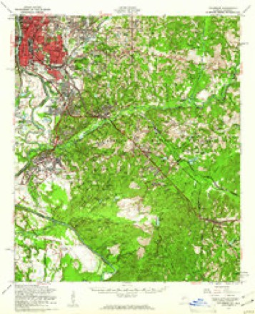
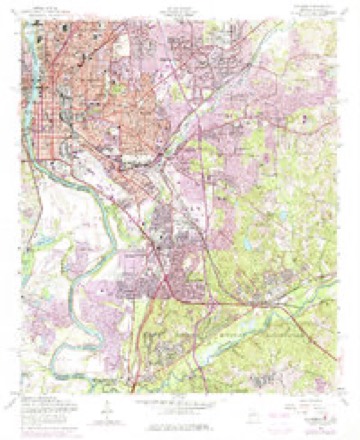
26 topographic sheets cover this place, the earliest surveyed in 1908 and the latest in 1999. It stands in the Columbus West census division. It lies in ZIP code area 31901. The Survey maps it on the Columbus quadrangle.
On record in Avondale
Buildings and businesses the archive holds for this place. Each opens its own page, with the source record it came from.
On the National Register within a mile 12 of 41 shown
The National Register names another town for these. They stand within one mile of this settlement's coordinate.
 Liberty Theaterlisted 1984 · 0.5 miles away
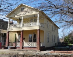 Gertrude Ma Pridgett Rainey Houselisted 1992 · 0.7 miles away
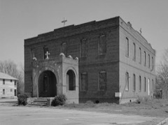 St. Christoper's Normal and Industrial Parish Schoollisted 1980 · 0.7 miles away
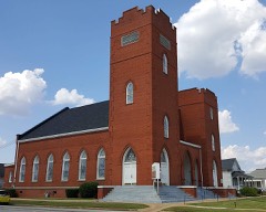 First African Baptist Churchlisted 1980 · 0.7 miles away
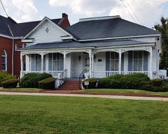 First African Baptist Church Parsonagelisted 1980 · 0.7 miles away
 Dinglewoodlisted 1972 · 0.7 miles away
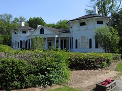 Wynnwoodlisted 1972 · 0.7 miles away
 Central of Georgia Railroad Terminallisted 1980 · 0.9 miles away
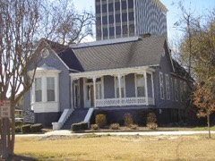 McArdle Houselisted 1980 · 0.9 miles away
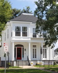 George Pond Houselisted 1980 · 1.0 miles away
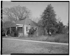 Columbus Historic Districtlisted 1969 · 1.0 miles away
- Building at 920 Ninth Avenuelisted 1980 · 0.4 miles away
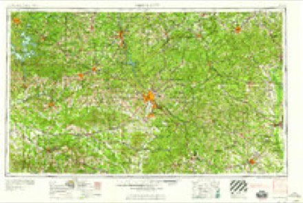
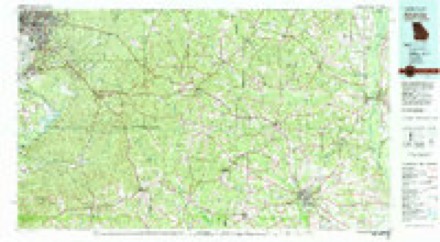
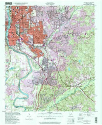
Topographic sheets covering this place
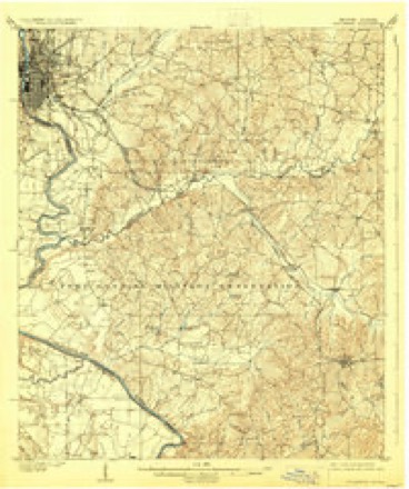
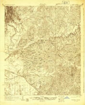
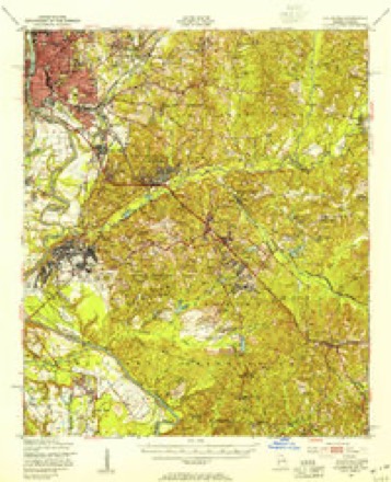
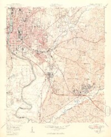
11 surveys from 26 printed sheetsMatched by testing this settlement's coordinate against the published boundary of every sheet in the United States Geological Survey's historical collection. Each opens the scanned sheet at the Survey.
- 1908 USGS Columbus quadrangle1:62500, 8 printings
- 1929 USGS Columbus quadrangle1:48000
- 1947 USGS Columbus quadrangle1:62500, 2 printings
- 1949 USGS Columbus quadrangle1:24000, 2 printings
- 1955 USGS Columbus quadrangle1:62500
- 1955 USGS Columbus quadrangle1:24000, 5 printings
- 1955 USGS Phenix City quadrangle1:250000, 3 printings
- 1957 USGS Phenix City quadrangle1:250000
- 1958 USGS Phenix City quadrangle1:250000
- 1981 USGS Americus quadrangle1:100000
- 1999 USGS Columbus quadrangle1:24000
Fires near this place
89 since 1992Regional context, not property-specific evidence. The federal wildfire occurrence database lists 89 fires within 5 miles of Avondale between 1992 and 2018, burning about 477 acres in total. 2 started naturally. 27 were recorded as arson. Distance is straight-line from the map coordinates, so a fire counted here may appear on a neighbouring settlement's page as well.
| Reported cause | Fires |
|---|---|
| Arson/incendiarism | 27 |
| Debris and open burning | 20 |
| Missing data/not specified/undetermined | 14 |
| Misuse of fire by a minor | 12 |
| Smoking | 7 |
| Recreation and ceremony | 4 |
| Natural | 2 |
| Railroad operations and maintenance | 2 |
| Other causes | 1 |
The most recent of them, most recent first, with the day each was reported and the service that recorded it.
| Date | Cause | Size | Reported by | Name on the report |
|---|---|---|---|---|
| 5 September 2015 | Missing data/not specified/undetermined | 4.0 acres | Alabama Forestry Commission | ECR-20150905-001 |
| 3 September 2011 | Misuse of fire by a minor | 9.2 acres | Georgia Forestry Commission | FY2012-MUSCOGEE-001 |
| 29 September 2008 | Misuse of fire by a minor | 2.0 acres | Alabama Forestry Commission | 2406 SANDFORT RD., AL |
| 22 September 1995 | Arson/incendiarism | under an acre | Georgia Forestry Commission | not named |
| 15 September 2010 | Arson/incendiarism | 1.5 acres | Georgia Forestry Commission | FY2011-MUSCOGEE-001 |
| 11 September 2002 | Smoking | 34 acres | Georgia Forestry Commission | FY2003-MUSCOGEE-001 |
| 1 September 2014 | Missing data/not specified/undetermined | 1.0 acres | Alabama Forestry Commission | ECR-20140901-002 |
| 1 September 1995 | Recreation and ceremony | 3.0 acres | Alabama Forestry Commission | not named |
Settlements close enough to share some of these fires:
Mines and quarries near this place
10 of 15 shownRegional context, not property-specific evidence. The federal mineral resources record lists 15 workings within 5 miles of Avondale: 14 producers, 1 past producer. 14 still produce. What was taken out: Sand and Gravel, Construction, Clay, Titanium, Metal, Zirconium, Kyanite, REE. Distance is straight-line from the map coordinates, so a quarry counted here may appear on a neighbouring settlement's page as well.
| Where | Site | Commodity | Status | Recorded |
|---|---|---|---|---|
| Chattahoochee River Gravel | Sand and Gravel, Construction, Titanium, Metal, Zirconium, Kyanite, REE | Producer | Ilmenite, Kyanite, Quartz, Rutile, Zircon | |
| Dixieland Mine | Sand and Gravel, Construction, Titanium, Metal, Zirconium, Kyanite, REE | Producer | Ilmenite, Kyanite, Quartz, Rutile, Zircon | |
| Dixieland Pits | Sand and Gravel, Construction, Titanium, Metal, Zirconium, Kyanite, REE | Producer | Placer | |
| Bussey Pit | Clay | Producer | ||
| Cilla Mine | Clay | Producer | ||
| No. 1 Pit | Clay | Producer | ||
| No. 4 Mines | Clay | Past Producer | ||
| Woolfolk Mine | Clay | Producer | ||
| Brown Sand Pit | Sand and Gravel, Construction | Producer | ||
| Dixieland Mine | Sand and Gravel, Construction | Producer |
Storms near this place
10 since 2011Regional context, not property-specific evidence. The National Weather Service names Avondale in 10 storm reports between 2011 and 2021: 4 thunderstorm wind, 3 hail, 2 flash flood, 1 tornado. No death or injury is recorded in these reports. Each account below is quoted exactly as the forecast office filed it, from the NOAA Storm Events Database, and each date opens the federal record of that event.
| When | Event | Place named | Harm | What the report says |
|---|---|---|---|---|
| March 2013 | Hail | Avondale | $2,790,000 | The public and broadcast media reported large hail 1 to 2 inches in diameter across the Columbus area. The hail fell for 10 minutes and covered the ground. |
| April 2019 | Tornado (EF0) | Avondale | $150,000 | A National Weather Service survey determined that an EF0 tornado with maximum wind speeds 85 mph and a maximum path width of 50 yards crossed the Chattahoochee river from Phenix City Alabama into Columbus Georgia. The tornado crossed the river between Rotary Park and 22nd Avenue snapping trees limbs between Victory Drive and Blanchard Boulevard. The tornado moved north damaging a metal awning and several gas pumps at a gas station along Martin Luther King Jr. Boulevard as well as a metal warehouse on Cusseta Road in the Avondale community. Further north a large tree was blown down on 17th Street near 15th Avenue bringing down power lines. No injuries were reported. [04/14/19: Tornado #1, County #1/1, EF-0, Muscogee, 2019:021]. |
| July 2019 | Thunderstorm Wind | Avondale | $10,000 | The local broadcast media reported thunderstorm wind damage to the roof of a storage facility on Blanchard Boulevard between 22nd and 25th Avenues. A tree was blown down in a neighborhood just behind this facility resulting in a power outage. |
| June 2016 | Thunderstorm Wind | Avondale | $10,000 | The Muscogee County 911 center reported numerous trees blown down around the county, especially in the Columbus area. |
| July 2014 | Thunderstorm Wind | Avondale | $2,000 | The public reported that several trees and power lines were down at the intersection of Standing Boy and Waterford Roads. |
| October 2021 | Flash Flood | Avondale | - | Broadcast Media reported floodwaters from Bull Creek was surrounding numerous apartments homes with a few inches of water. Radar estimates indicate that between 3 and 5 inches of rain occurred over the area at the time of the report, with a total of 6 to 10 inches estimated for the day. |
| September 2020 | Flash Flood | Avondale | - | The 911 Center relayed a report of water over portions of 5th Avenue and Veterans Parkway, resulting in road closures. Radar estimates indicate 6 to 8 inches of rain occurred over the area, causing the flash flooding. |
| April 2017 | Hail | Avondale | - | Several social media reports of quarter size hail were received from the downtown Columbus area. |
| May 2015 | Thunderstorm Wind | Avondale | - | Trees and powerlines down in many locations including around Columbus. |
| March 2011 | Hail | Avondale | - | The public observed quarter-sized hail in the Columbus area and half-dollar-sized hail in extreme northeast Muscogee county near Upatoi. |
Nearest settlements
The eight closest, with where each one stands in the county. Distances are straight-line, computed from the Geographic Names Information System coordinates.
| Map | Place | Distance | Sheets |
|---|---|---|---|
| Columbus | 0.7 miles | 26 | |
| Dinglewood | 0.8 miles | 26 | |
| Andrew Woods | 1.0 miles | 26 | |
| Weracoba Heights | 1.1 miles | 26 | |
| Willett | 1.2 miles | 26 | |
| Carver Heights | 1.3 miles | 26 | |
| Muscogee | 1.3 miles | 26 | |
| East Highlands | 1.4 miles | 26 |
Provenance
This settlement is recorded in the Geographic Names Information System as feature 331074. The sheet list is computed by point-in-boundary test against the United States Geological Survey's historical topographic inventory. Both are works of the United States government and carry no copyright under 17 U.S.C. 105.
Wildfire. Short, Karen C. 2022. Spatial wildfire occurrence data for the United States, 1992-2020 [FPA_FOD_20221014]. 6th Edition. Fort Collins, CO: Forest Service Research Data Archive. https://doi.org/10.2737/RDS-2013-0009.6 Collected with United States Government funding and usable without additional permissions or fees.
Mines and quarries. USGS Mineral Resources Data System (MRDS) https://mrdata.usgs.gov/mrds/ A work of the United States government, no copyright under 17 U.S.C. 105.
Storms. NOAA National Centers for Environmental Information, Storm Events Database https://www.ncei.noaa.gov/stormevents/ A work of the United States government, no copyright under 17 U.S.C. 105. Narratives are quoted verbatim from the National Weather Service report and are not edited or summarised.