 Block
Bolton, Georgia
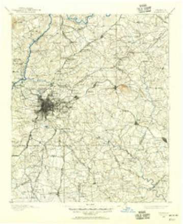
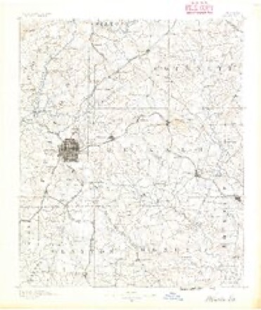
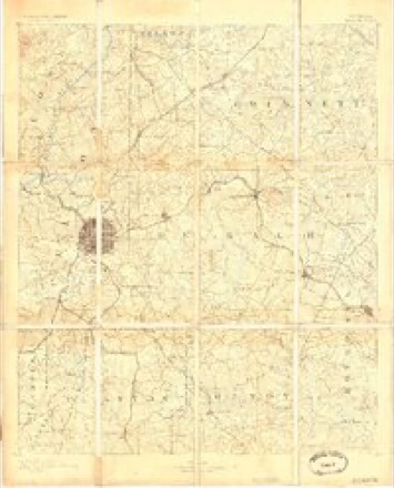
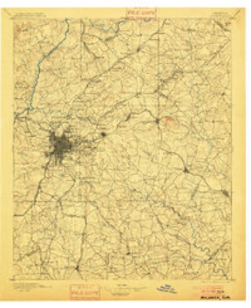
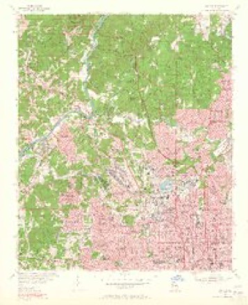
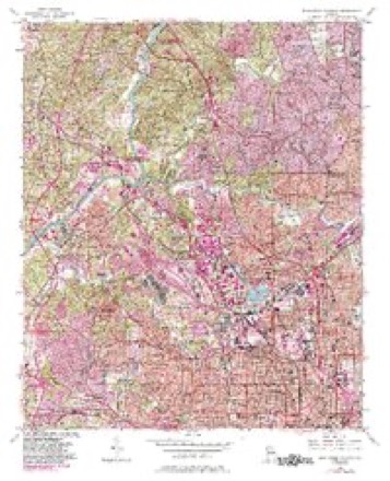
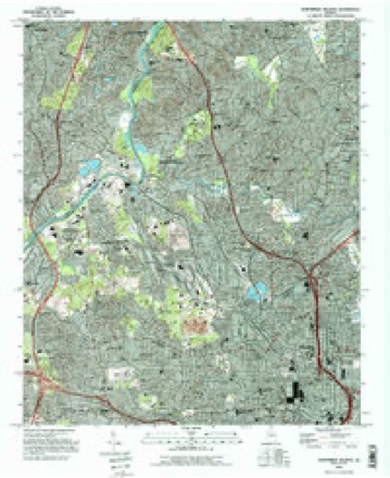
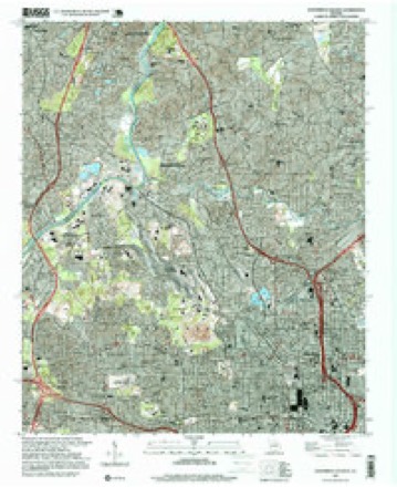
24 topographic sheets cover this place, the earliest surveyed in 1888 and the latest in 1997. It stands in the Atlanta census division. It lies in ZIP code area 30318. It stands on Peachtree Creek. The Survey maps it on the Northwest Atlanta quadrangle.
On record in Bolton
Buildings and businesses the archive holds for this place. Each opens its own page, with the source record it came from.
On the National Register within a mile 1 record
The National Register names another town for these. They stand within one mile of this settlement's coordinate.
- Bolton Lodge No. 416listed 2025 · 0.6 miles away
Topographic sheets covering this place
12 surveys from 24 printed sheetsMatched by testing this settlement's coordinate against the published boundary of every sheet in the United States Geological Survey's historical collection. Each opens the scanned sheet at the Survey.
- 1888 USGS Atlanta quadrangle1:125000
- 1890 USGS Atlanta quadrangle1:125000
- 1892 USGS Atlanta quadrangle1:125000
- 1895 USGS Atlanta quadrangle1:125000, 7 printings
- 1953 USGS Atlanta quadrangle1:250000, 2 printings
- 1954 USGS Bolton quadrangle1:24000, 2 printings
- 1954 USGS Northwest Atlanta quadrangle1:24000, 5 printings
- 1957 USGS Atlanta quadrangle1:250000
- 1958 USGS Atlanta quadrangle1:250000
- 1981 USGS Atlanta quadrangle1:100000
- 1993 USGS Northwest Atlanta quadrangle1:24000
- 1997 USGS Northwest Atlanta quadrangle1:24000




Fires near this place
11 since 1993Regional context, not property-specific evidence. The federal wildfire occurrence database lists 11 fires within 5 miles of Bolton between 1993 and 2019, burning about 16 acres in total. None started naturally. 3 were recorded as arson. Distance is straight-line from the map coordinates, so a fire counted here may appear on a neighbouring settlement's page as well.
| Reported cause | Fires |
|---|---|
| Debris and open burning | 5 |
| Arson/incendiarism | 3 |
| Missing data/not specified/undetermined | 2 |
| Recreation and ceremony | 1 |
The most recent of them, most recent first, with the day each was reported and the service that recorded it.
| Date | Cause | Size | Reported by | Name on the report |
|---|---|---|---|---|
| 7 July 2002 | Missing data/not specified/undetermined | under an acre | Georgia Forestry Commission | FY2003-LINCOLN-001 |
| 26 July 1993 | Debris and open burning | 1.0 acres | Georgia Forestry Commission | not named |
| 17 July 2019 | Arson/incendiarism | 2.5 acres | Georgia Forestry Commission | FY2020FULTON SOUTH001 |
| 5 May 1998 | Debris and open burning | under an acre | Georgia Forestry Commission | not named |
| 6 April 2014 | Debris and open burning | under an acre | Georgia Forestry Commission | FY2014-COBB-001 |
| 16 February 2015 | Debris and open burning | under an acre | Georgia Forestry Commission | FY2015-COBB-001 |
| 25 December 1994 | Recreation and ceremony | 2.0 acres | Chattahoochee River National Recreation Area | HO HO |
| 7 November 2005 | Debris and open burning | 1.2 acres | Georgia Forestry Commission | not named |
Settlements close enough to share some of these fires:
Mines and quarries near this place
8 within 5 milesRegional context, not property-specific evidence. The federal mineral resources record lists 8 workings within 5 miles of Bolton: 6 producers, 2 past producers. 6 still produce. What was taken out: Clay, Sand and Gravel, Construction, Stone, Crushed/Broken, Stone. Distance is straight-line from the map coordinates, so a quarry counted here may appear on a neighbouring settlement's page as well.
| Where | Site | Commodity | Status | Recorded |
|---|---|---|---|---|
| Atlanta Cement Plant | Stone | Producer | ||
| Bellwood Quarry | Stone, Crushed/Broken | Producer | ||
| Alanta Brick & Tile Co. Pit | Clay | Past Producer | ||
| Dredge No. 1 | Sand and Gravel, Construction | Producer | ||
| Plant No. 7 | Clay | Past Producer | ||
| Sandy Creek Mine | Clay | Producer | ||
| Stamps Mine | Sand and Gravel, Construction | Producer | ||
| Stamps Mine No 2 | Sand and Gravel, Construction | Producer |
Storms near this place
24 since 2003Regional context, not property-specific evidence. The National Weather Service names Bolton in 24 storm reports between 2003 and 2025: 13 thunderstorm wind, 4 hail, 4 flash flood, 2 tornado. No death or injury is recorded in these reports. Each account below is quoted exactly as the forecast office filed it, from the NOAA Storm Events Database, and each date opens the federal record of that event.
| When | Event | Place named | Harm | What the report says |
|---|---|---|---|---|
| June 2018 | Thunderstorm Wind | Bolton | $500,000 | The local broadcast media reported that a large tree was blown down onto a house on Woodley Drive in the Memorial Park area of northwest Atlanta. The tree crashed completely through the center of the home causing extensive damage. A tree was blown down onto Deering Road NW in the Brookwood area. The tree struck one car causing significant damage to the vehicle. No injuries were reported in either incident. |
| August 2021 | Thunderstorm Wind | Bolton | $50,000 | The Fulton County Office of Emergency Management reported several trees blown down from the Buckhead area to Grant Park. |
| October 2014 | Tornado (EF0) | Bolton | $40,000 | NWS Storm Survey team found a tornado touched down near Nancy Creek Road NW and West Paces Ferry Road NW then traveled north northwest lifting near Paces Ferry Road NW and Parian Ridge Road NW. EF0 damage was indicated with maximum wind speeds around 75 MPH and a path width of 75 yards. Damage was confined mainly to trees snapped or uprooted, however several homes sustained damage from falling trees. [10/14/14: Tornado #4, County #1-1, EF0, Fulton, 2014:014]. |
| June 2016 | Thunderstorm Wind | Bolton | $25,000 | The public reported trees and power lines blown down at Peyton Road N.W. and Hollywood Road N.W. One tree fell on a car, however no injuries were reported. Large limbs were blown down throughout the Riverside neighborhood in this vicinity. |
| November 2016 | Tornado (EF1) | Bolton | $25,000 | A National Weather Service storm survey team found that an EF1 tornado with maximum winds of 90 MPH moved along a path with a maximum width of 100 yards for 1.90 miles across portions of northern Fulton County. The tornado began along Margaret Mitchell Ct. NW just east of I-75 where several large pine trees were snapped. The tornado swept east northeast snapping or uprooting several more large pine trees around the intersection of Northside Parkway and Moores Mill Road NW. The tornado then turned more easterly snapping or uprooting several more trees along Marne Drive and Arden Road NW before ending around the intersection of West Paces Ferry Road and Habersham Road NW. [11/30/16: Tornado #4, County #1/1, EF1, Fulton, 2016:010]. |
| July 2016 | Thunderstorm Wind | Bolton | $20,000 | The Fulton County Office of Emergency Management and local broadcast media reported trees blown down along West Paces Ferry Road near the Governor's Mansion, on the Georgia Tech Campus, and along Confederate Avenue. Power was knocked out to around 10,000 customers across the county. |
| April 2016 | Thunderstorm Wind | Bolton | $10,000 | The Fulton County Fire Department reported numerous trees and power lines blown down around the intersection of Moores Mill Road and W. Wesley Road. |
| October 2009 | Flash Flood | Bolton | $5,000 | USGS stream gages along Nancy Creek and Peachtree Creek in north Atlanta reached and exceeded their flood stages during an approximate three-hour period. Nancy Creek reached its flood stage of 11.0 feet at 1148 am EDT while Peachtree Creek reached its flood stage of 17.0 feet at 150 pm EDT. The creeks remained in flood through 230 pm EDT. Damage was confined to minor debris removal adjacent to the creeks. |
| April 2019 | Thunderstorm Wind | Bolton | $3,000 | The public reported trees blown down on Brantley Street NW and Marietta Road NW near Dupont Commons Lane. |
| August 2018 | Thunderstorm Wind | Bolton | $3,000 | A report was received over social media of trees blown down in the vicinity of Mt Paran Road and West Conway Drive. |
| September 2014 | Flash Flood | Bolton | $3,000 | The public reported the upper reaches of Peachtree Creek near the Fulton and DeKalb county line had minor flooding of residential yards and commercial property. |
| October 2009 | Flood | Bolton | $3,000 | The USGS stream gages along Nancy and Peachtree Creeks in north and northeast Atlanta, as well as along the Chattahoochee River, showed that minor flooding continued across areas adjacent to the creeks and rivers. This followed earlier flash flooding along Peachtree Creek. Additional damage was confined to minor debris removal adjacent to the creeks and rivers. |
| June 2013 | Thunderstorm Wind | Bolton | $1,500 | A trained spotter reported that several trees were snapped and uprooted across Bolton Road between Marietta Boulevard and Marietta Road. Power lines were down as well. |
| June 2025 | Thunderstorm Wind | Bolton | $1,000 | A large tree fell onto West Paces Ferry Rd NW near Rilman Rd NW. |
| August 2023 | Thunderstorm Wind | Bolton | $1,000 | Tree downed along Defoors Ferry Rd near Fernleaf Ct NW. |
| August 2023 | Thunderstorm Wind | Bolton | $1,000 | Tree was reported down on Fairfield Rd NW. |
| August 2023 | Thunderstorm Wind | Bolton | $1,000 | A tree was reported down at Carroll Dr NW at Marietta Blvd NW. |
| June 2025 | Hail | Bolton | - | Public report of 1-inch hail at James Jackson Pkwy and Bolton Rd NW. |
| July 2023 | Flash Flood | Bolton | - | The public reported roadway flooding along Northside Drive NW near the intersection of Arden Road NW. Radar estimates indicate that between 3 and 4 inches of rain occurred over the area, resulting in the flash flooding in the roadway. |
| July 2018 | Hail | Bolton | - | A trained spotter reported quarter size hail just west of I-285 in west Atlanta. |
| April 2017 | Flash Flood | Bolton | - | A USGS stream gage on Nancy Creek at West Wesley Road in Atlanta quickly reached flood stage of 12 feet. The creek crest at 12.30 feet at 6:30 PM EST. Minor flooding of residential yards occured along the creek upstream and downstream from the gage, including Nancy Creek Road and Ridge Valley Court. Portions of The Westminster Schools athletic fields upstream from the gage also flooded. |
| October 2014 | Thunderstorm Wind | Bolton | - | The local news media reported a gust of 60 mph measured by weather equipment at the Lovett School. |
| July 2011 | Hail | Bolton | - | The public observed quarter-sized hail approximately four miles north-northwest of downtown Atlanta, especially along Howell Mill Road. The public also reported that the cloud-to-ground lightning was intense. |
| April 2003 | Hail | Bolton | - | Several local Atlanta television stations reported and showed pictures of quarter to golf ball-sized hail, in some cases covering the ground. In Buckhead, hail covered the sidewalks and parking lots at the Lennox Square Mall. The hail blocked a drainage system on Interstate 75 between downtown Atlanta and Interstate 285 on the northwest side of Atlanta causing the Interstate to be closed for 1 1/2 hours. This caused a major backup of traffic for several miles in the area. |
Nearest settlements
The eight closest, with where each one stands in the county. Distances are straight-line, computed from the Geographic Names Information System coordinates.
| Map | Place | Distance | Sheets |
|---|---|---|---|
| Tilford | 0.4 miles | 24 | |
| Magnolia | 0.7 miles | 24 | |
| Payton (historical) | 0.9 miles | 24 | |
| Westover Plantation | 0.9 miles | 24 | |
| Ridgewood Heights | 1.0 miles | 24 | |
| Ellen | 1.1 miles | 24 | |
| Hills Park | 1.2 miles | 24 | |
| Chattahoochee | 1.6 miles | 24 |
Provenance
This settlement is recorded in the Geographic Names Information System as feature 331205. The sheet list is computed by point-in-boundary test against the United States Geological Survey's historical topographic inventory. Both are works of the United States government and carry no copyright under 17 U.S.C. 105.
Wildfire. Short, Karen C. 2022. Spatial wildfire occurrence data for the United States, 1992-2020 [FPA_FOD_20221014]. 6th Edition. Fort Collins, CO: Forest Service Research Data Archive. https://doi.org/10.2737/RDS-2013-0009.6 Collected with United States Government funding and usable without additional permissions or fees.
Mines and quarries. USGS Mineral Resources Data System (MRDS) https://mrdata.usgs.gov/mrds/ A work of the United States government, no copyright under 17 U.S.C. 105.
Storms. NOAA National Centers for Environmental Information, Storm Events Database https://www.ncei.noaa.gov/stormevents/ A work of the United States government, no copyright under 17 U.S.C. 105. Narratives are quoted verbatim from the National Weather Service report and are not edited or summarised.