BlockBefore

Fulton County, Georgia

146 topographic sheets and 30 fire insurance atlases across 6 places.

Research this county

From the record

258 National Register listings published here, 11 of them National Historic Landmarks.

Sources: the National Register database, National Park Service

Georgia within the United States
Fulton County within Georgia
Explore by year 1864 1922

What the record shows

  • 6 places in this county were surveyed for fire insurance: Atlanta, Palmetto, Fairburn, Roswell, College Park, East Point, between 1885 and 1932.
  • 30 fire insurance atlases survive for the county. Topographic coverage is national; fire insurance survey reached only incorporated places with something worth insuring.
  • 5,591 topographic sheet readings cover the county's settlements.
  • 258 properties here are on the National Register of Historic Places: 182 buildings, 69 districts, 3 sites, 2 objects and 2 structures.
  • 68 of the 258 listings were added during the 1970s.
  • The Geographic Names Information System records 266 populated places in this county; 264 are covered by at least one topographic sheet.

Photographs

50 photographs, 1936 to 2022

Taken for the Office of War Information and the Farm Security Administration, who photographed the country between 1935 and 1944. Works of United States government photographers, with no known restriction on use. Each opens its catalogue record.
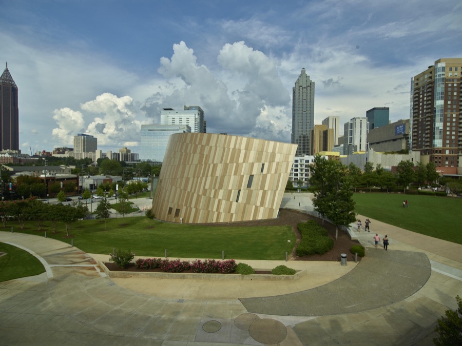
The Center for Civil and Human Rights in Atlanta, the capital city of the southern U.S. state of Georgia and the state's largest city
Highsmith, Carol M, 2017. Library of Congress
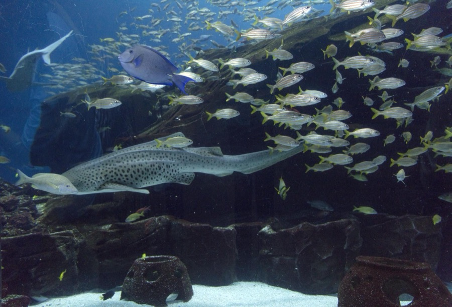
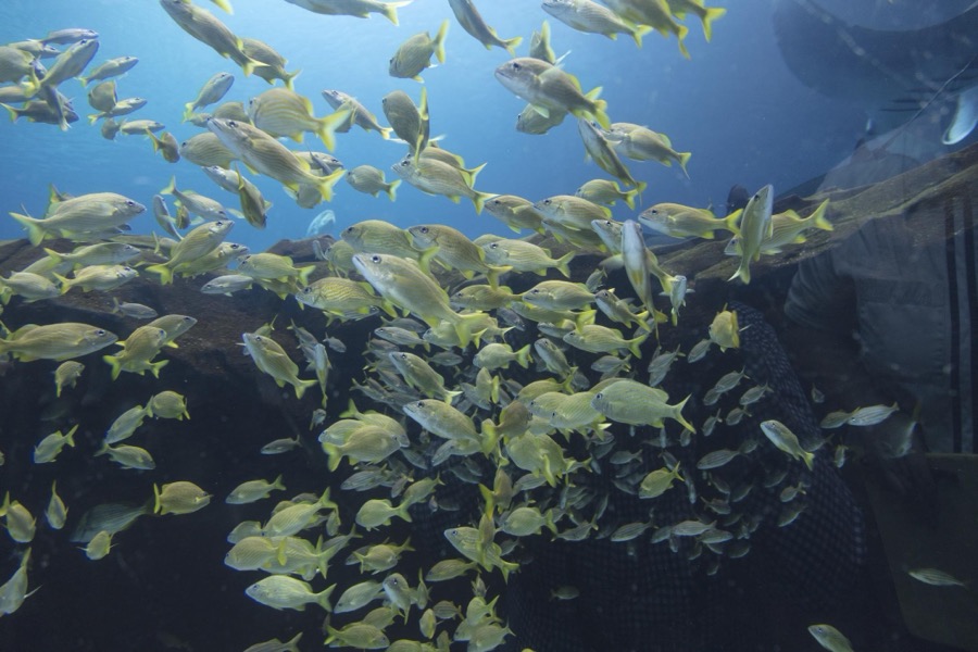
Living exhibit at the Georgia Aquarium in Atlanta, the capital city of the southern U.S. state of Georgia and the state's largest city
Highsmith, Carol M, 2017. Library of Congress
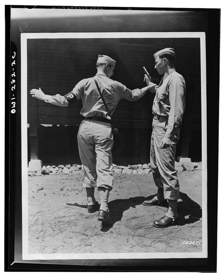
Fort McPherson, Georgia. Private Elliott Schneiderman and MP (Military Police) Private Edward Tevault practicing disarming a gunman
Photographer not recorded, 1942. Library of Congress
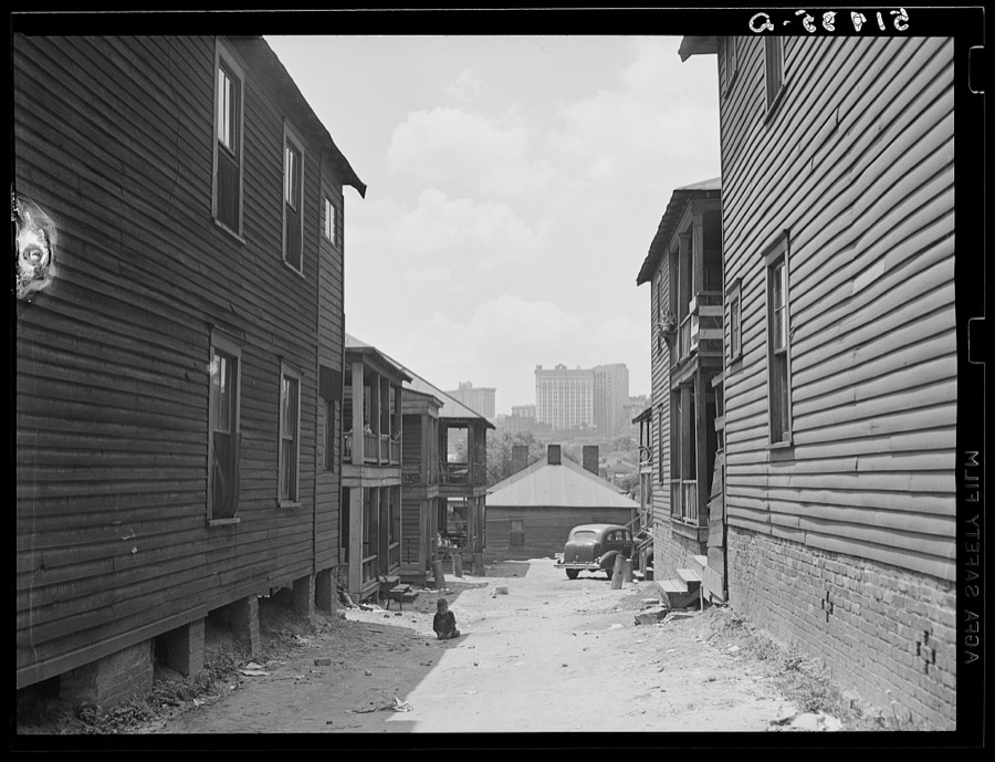
Slums in Negro district. Atlanta, Georgia
Wolcott, Marion Post, 1939. Library of Congress
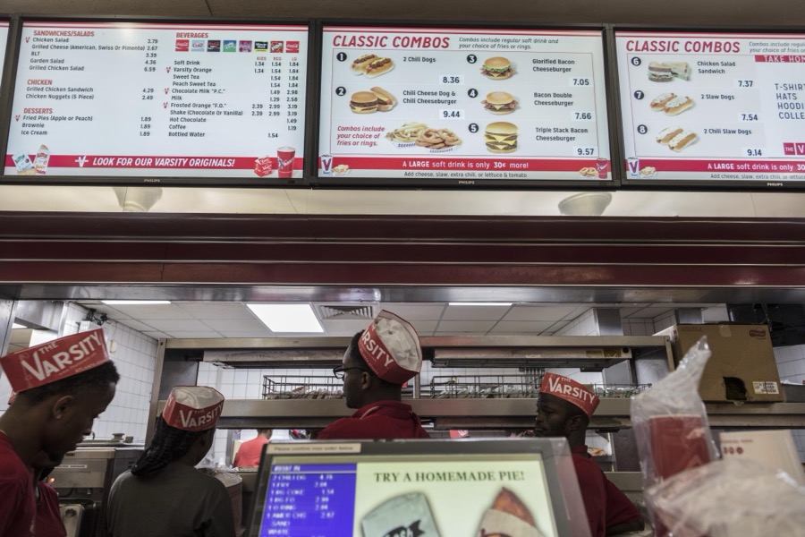
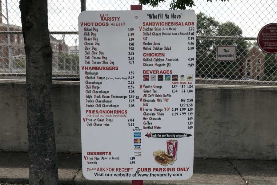
Menu board at The Varsity, often called the Varsity Grill, a local drive-in restaurant that became somewhat of a "must-see" institution in Atlanta, the capital city of the southern U.S. state of Georgia and the state's largest city
Highsmith, Carol M, 2017. Library of Congress
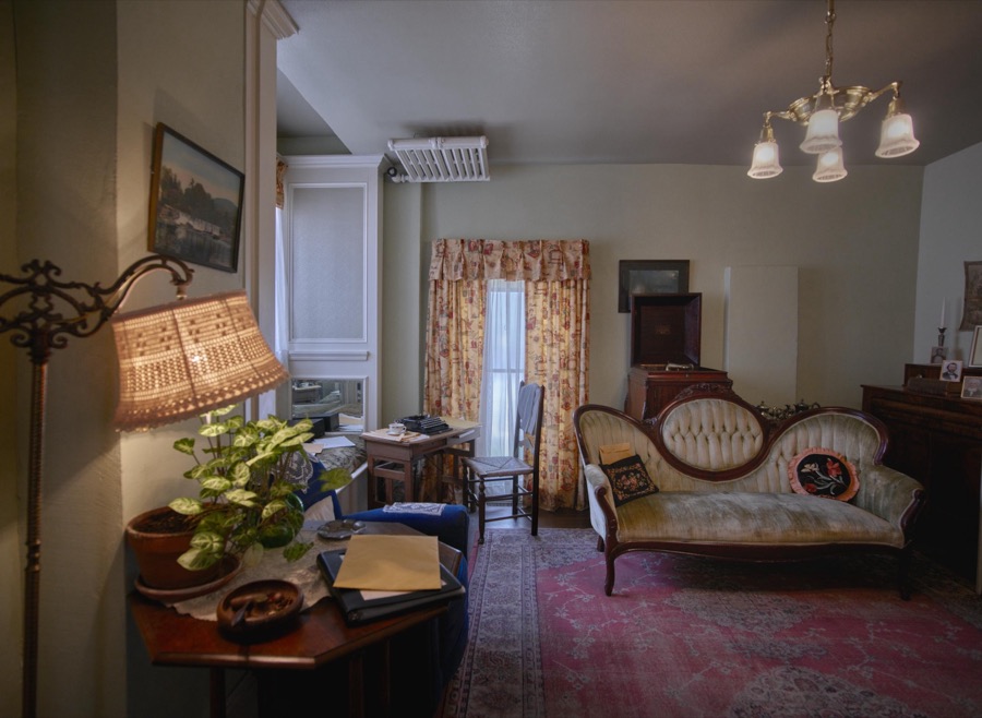
Recreated apartment in what is now a house museum where Margaret Mitchell, author of the iconic book "Gone With the Wind," once lived and wrote the book in Atlanta, the capital city of the southern U.S. state of Georgia and the state's largest city
Highsmith, Carol M, 2017. Library of Congress
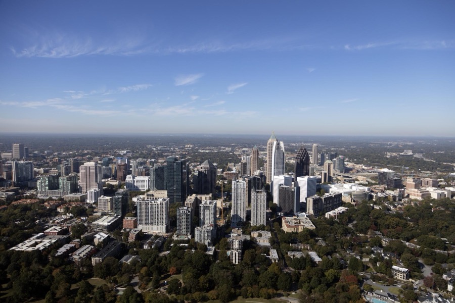
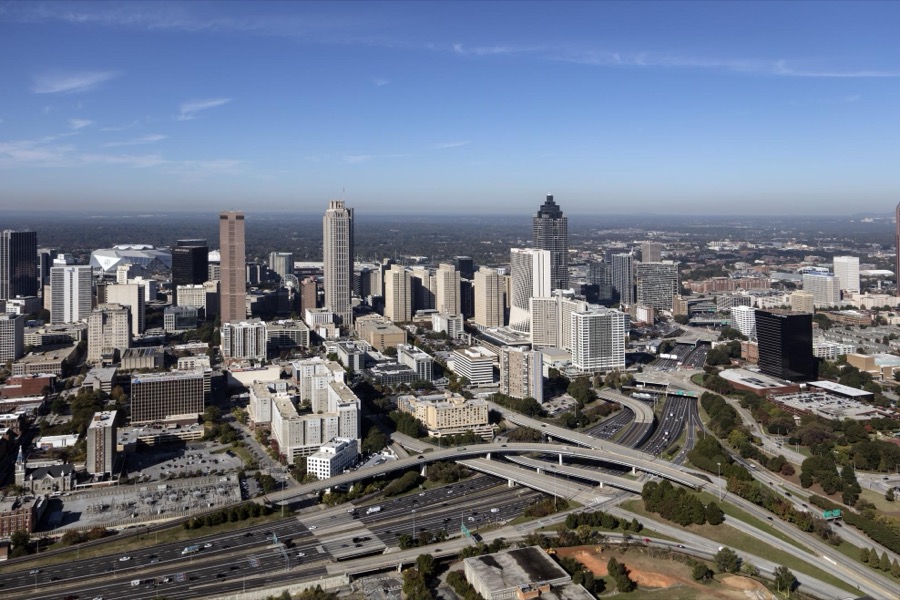
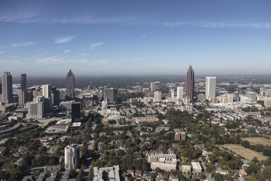
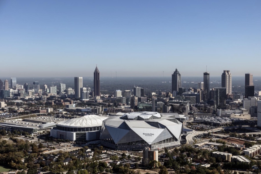
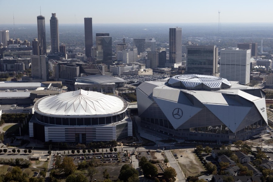
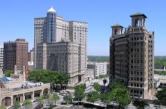
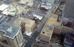
Aerial photograph of downtown Atlanta, Georgia, taken in October 2017
Highsmith, Carol M, 2017. Library of Congress
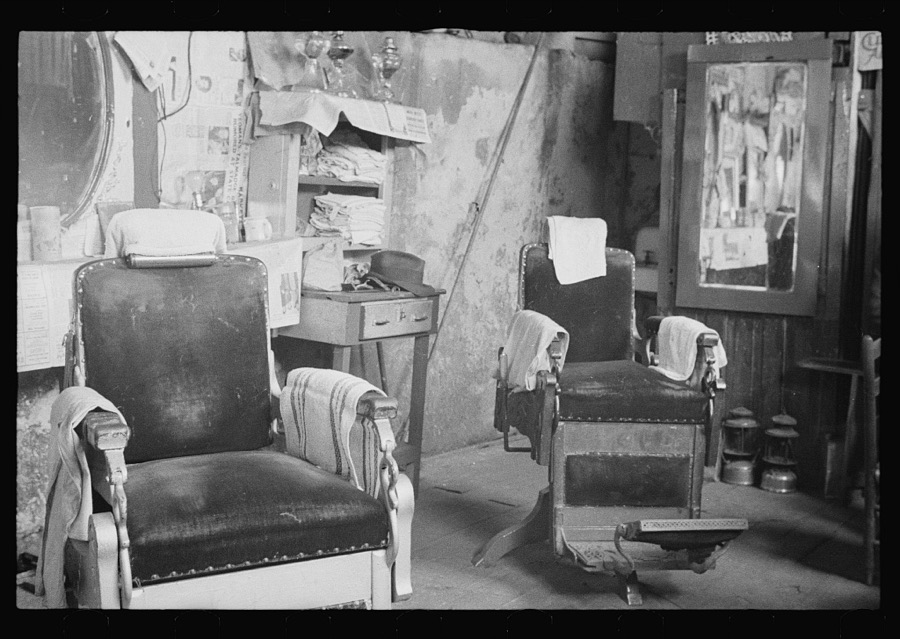
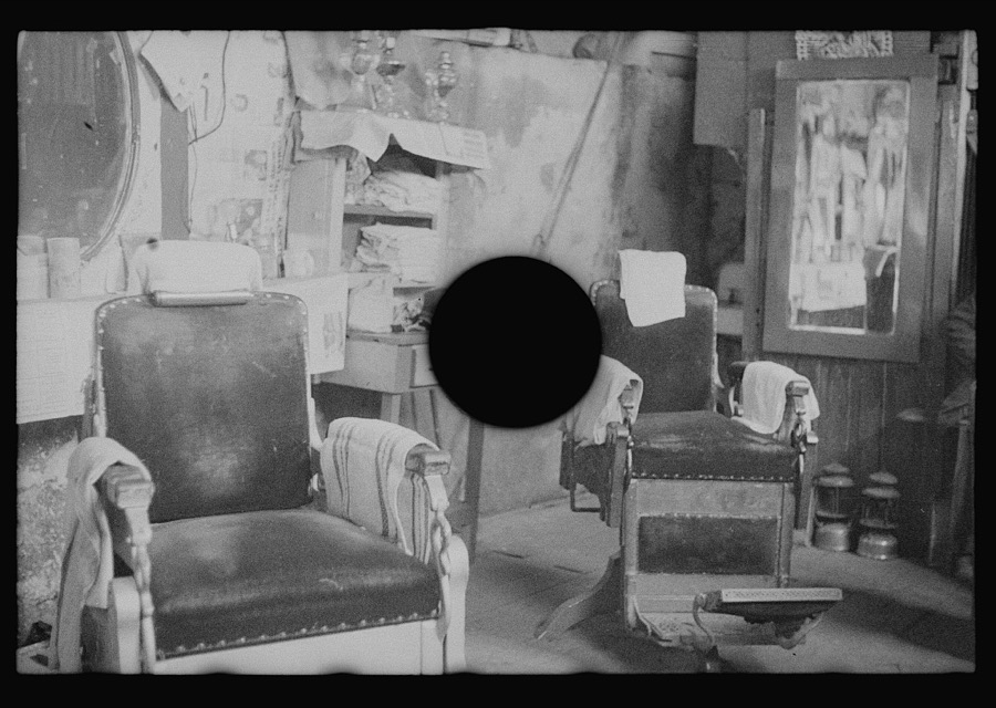
Negro barber shop. Atlanta, Georgia
Evans, Walker, 1936. Library of Congress
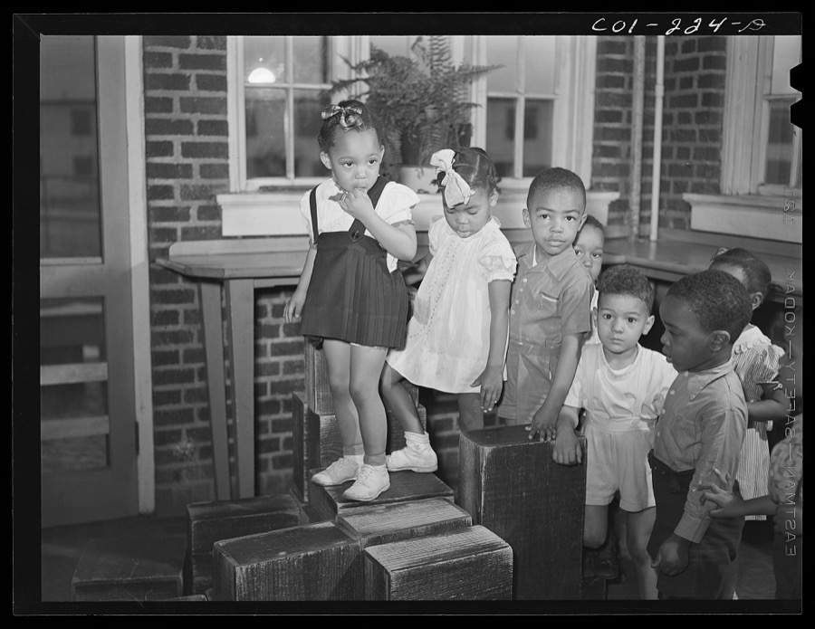
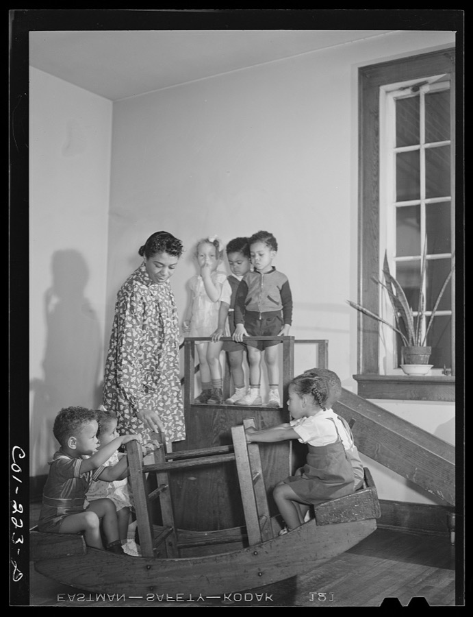
Atlanta University, Atlanta, Georgia. Nursery children
Rothstein, Arthur, 1942. Library of Congress
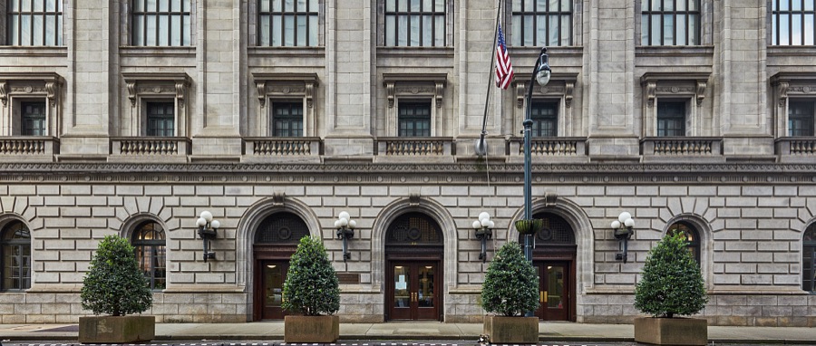
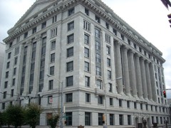
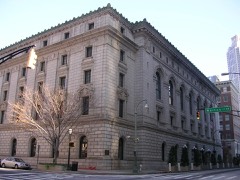
In the years following the Civil War, Atlanta's population expanded rapidly and to meet increased demands for federal services, Congress approved funds for a new building containing both postal and courthouse functions
Highsmith, Carol M, 2022. Library of Congress
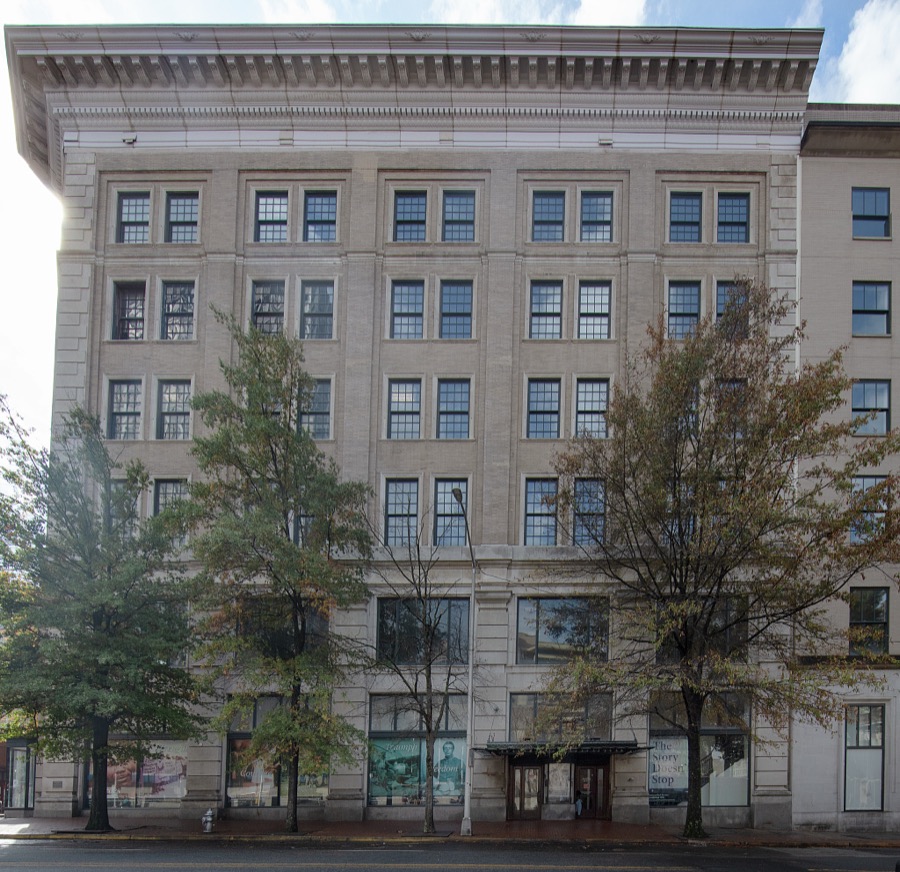
This is the Rich's Department Store that opened in 1924 in downtown Atlanta, Georgia where it remained until 1991
Highsmith, Carol M, 2022. Library of Congress
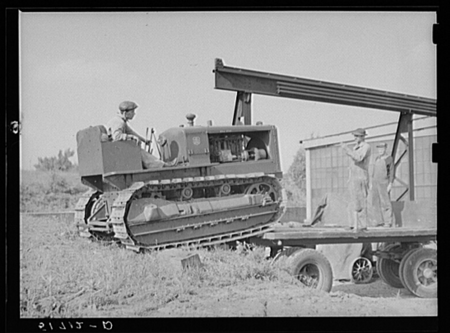
Loading repaired tractor from bank to truck ready to leave FSA (Farm Security Administration) warehouse depot in Atlanta, Georgia
Wolcott, Marion Post, 1939. Library of Congress
Aerial photograph of downtown Atlanta, Georgia, taken in October 2017
Highsmith, Carol M, 2017. Library of Congress
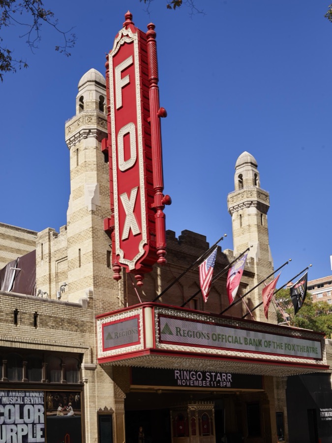
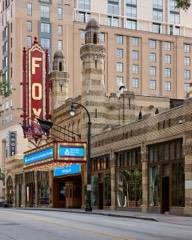
Marquee and elaborate facade of the historic Fox Theatre in downtown Atlanta, Georgia
Highsmith, Carol M, 2017. Library of Congress
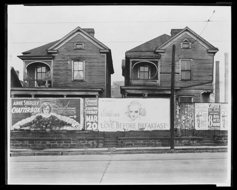
Houses. Atlanta, Georgia
Evans, Walker, 1936. Library of Congress
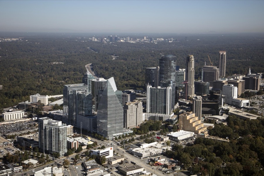
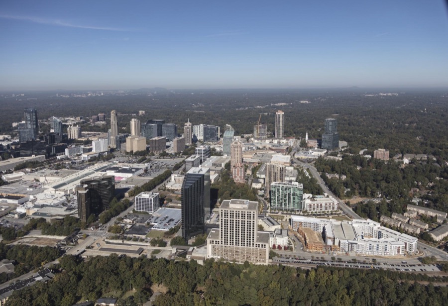
Aerial photograph of Atlanta, Georgia, taken in October 2017, with a focus on the city's Buckhead neighborhood
Highsmith, Carol M, 2017. Library of Congress
Aerial photograph of downtown Atlanta, Georgia, taken in October 2017
Highsmith, Carol M, 2017. Library of Congress
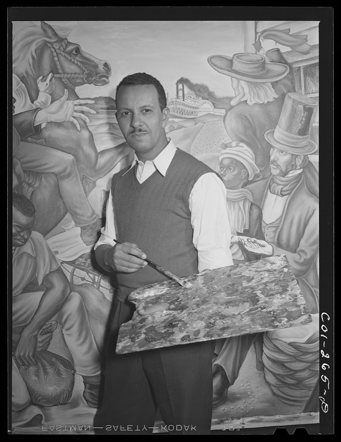
Atlanta University, Atlanta, Georgia. The painter Hale Woodruff
Rothstein, Arthur, 1942. Library of Congress
Living exhibit at the Georgia Aquarium in Atlanta, the capital city of the southern U.S. state of Georgia and the state's largest city
Highsmith, Carol M, 2017. Library of Congress
Menu board at The Varsity, often called the Varsity Grill, a local drive-in restaurant that became somewhat of a "must-see" institution in Atlanta, the capital city of the southern U.S. state of Georgia and the state's largest city
Highsmith, Carol M, 2017. Library of Congress
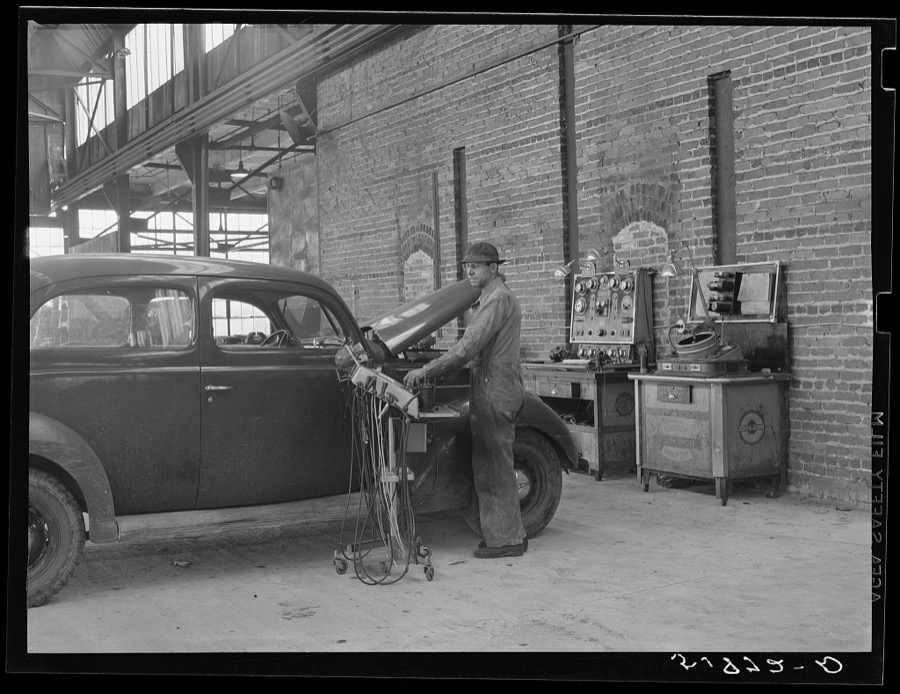
Testing motors of car in FSA (Farm Security Administration) warehouse depot. Atlanta, Georgia
Wolcott, Marion Post, 1939. Library of Congress
Aerial photograph of Atlanta, Georgia, taken in October 2017
Highsmith, Carol M, 2017. Library of Congress
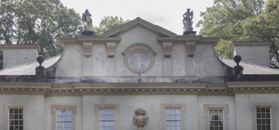
Detail of the Swan House, a historic house museum in Atlanta, the capital city of the southern U.S. state of Georgia and the state's largest city
Highsmith, Carol M, 2017. Library of Congress
Aerial photograph of Atlanta, Georgia, taken in October 2017
Highsmith, Carol M, 2017. Library of Congress
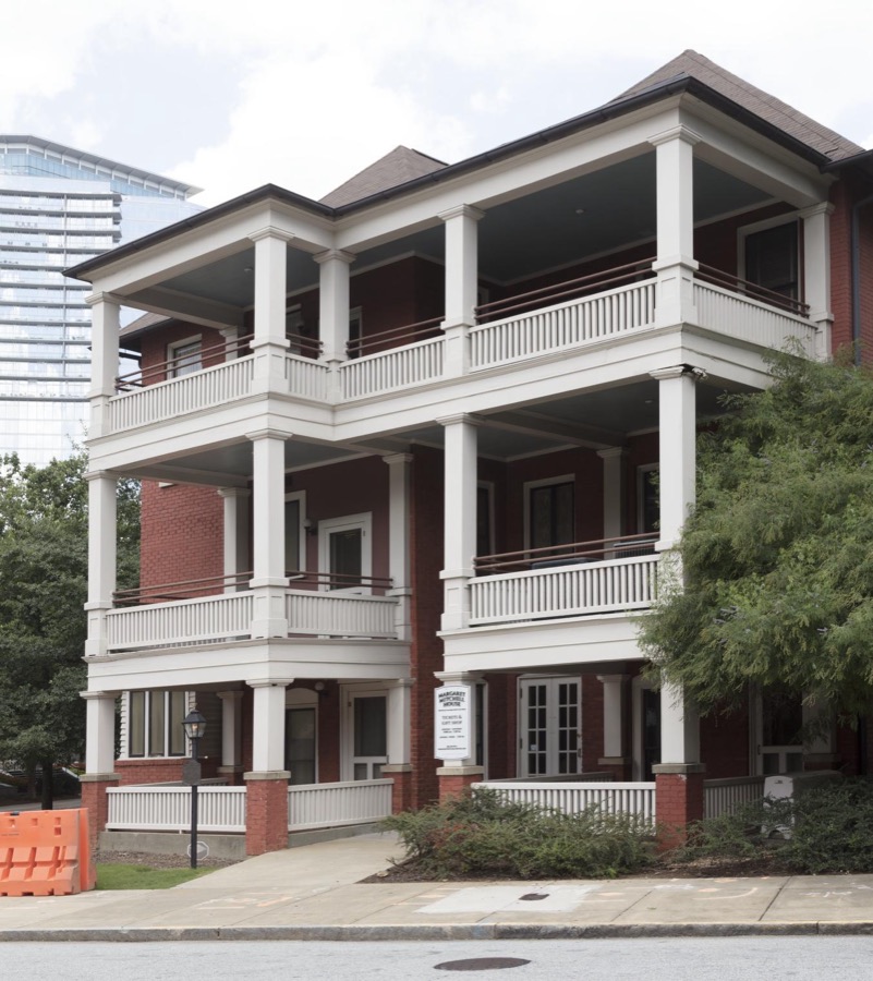
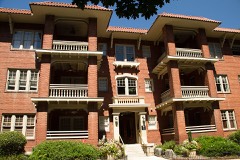
View of the apartment building, now a house museum, in which Margaret Mitchell, author of the iconic book "Gone With the Wind," once lived in Atlanta, the capital city of the southern U.S. state of Georgia and the state's largest city
Highsmith, Carol M, 2017. Library of Congress
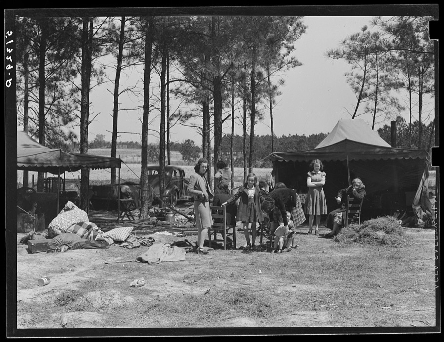
Atlanta mule warehouse sends a camp into rural sections of Georgia for several weeks at a time to sell mules to farmers
Wolcott, Marion Post, 1939. Library of Congress
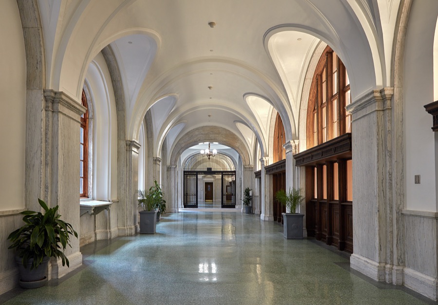
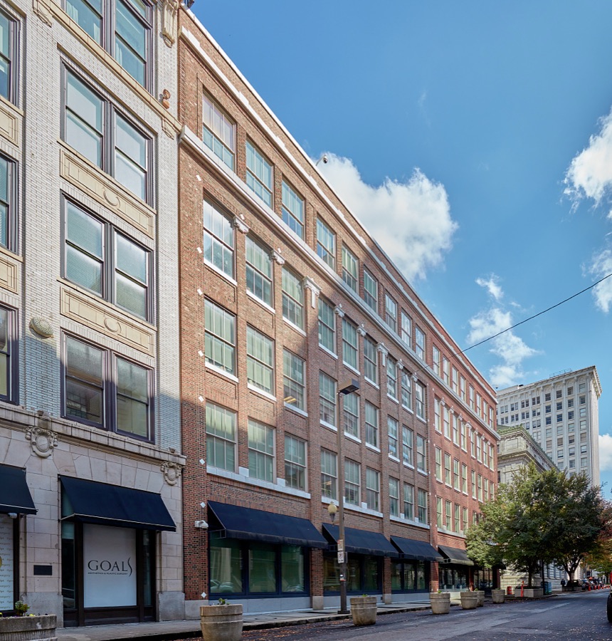
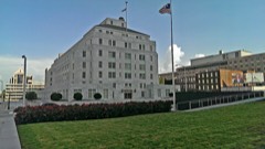
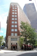
Located in a historic Atlanta district, the Godbold Federal Building is now an annex to the Elbert P. Tuttle U.S. Federal Court of Appeals building
Highsmith, Carol M, 2022. Library of Congress
Negro barber shop. Atlanta, Georgia
Evans, Walker, 1936. Library of Congress
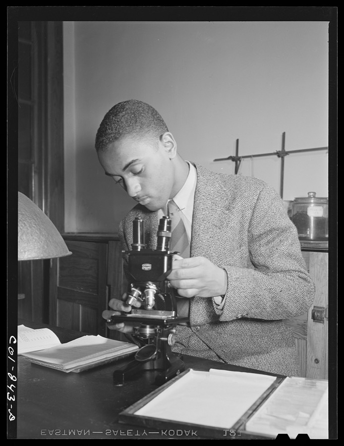
Atlanta University, Atlanta, Georgia. Zoology student
Rothstein, Arthur, 1942. Library of Congress
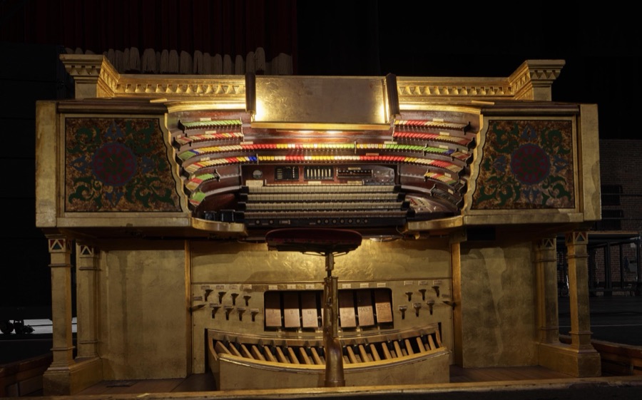
The "Mighty Mo" organ at the historic Fox Theatre in downtown Atlanta, Georgia
Highsmith, Carol M, 2017. Library of Congress
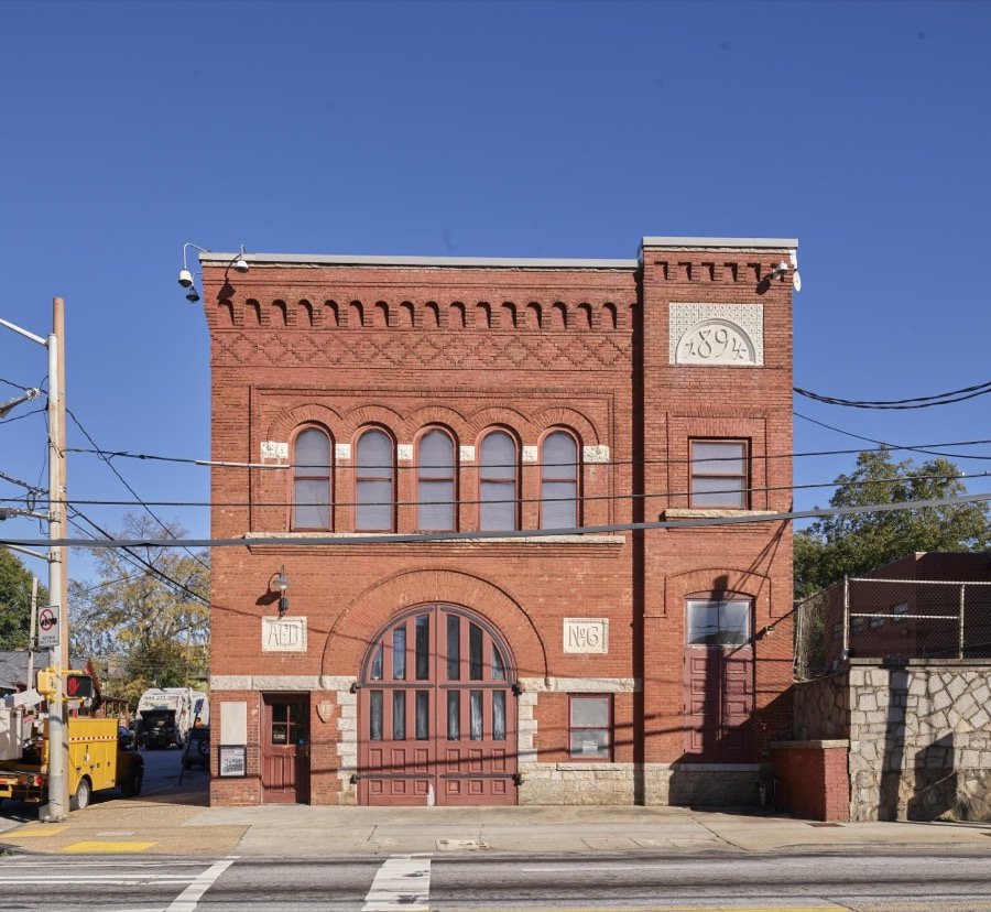
The neighorhood firehouse from Dr. Martin Luther King Jr.'s childhood, now preserved at the Martin Luther King Jr. National Historic Site, a park supervised by the U.S. National Park Service that includes several buildings central to the martyred civil-rights leader's early life, his later work, and his place of worship
Highsmith, Carol M, 2017. Library of Congress
In the years following the Civil War, Atlanta's population expanded rapidly and to meet increased demands for federal services, Congress approved funds for a new building containing both postal and courthouse functions
Highsmith, Carol M, 2022. Library of Congress
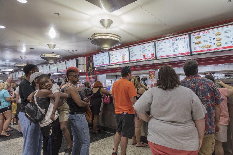
Customer line at The Varsity, often called the Varsity Grill, a local drive-in restaurant that became somewhat of a "must-see" institution in Atlanta, the capital city of the southern U.S. state of Georgia and the state's largest city
Highsmith, Carol M, 2017. Library of Congress
Atlanta University, Atlanta, Georgia. Nursery children
Rothstein, Arthur, 1942. Library of Congress
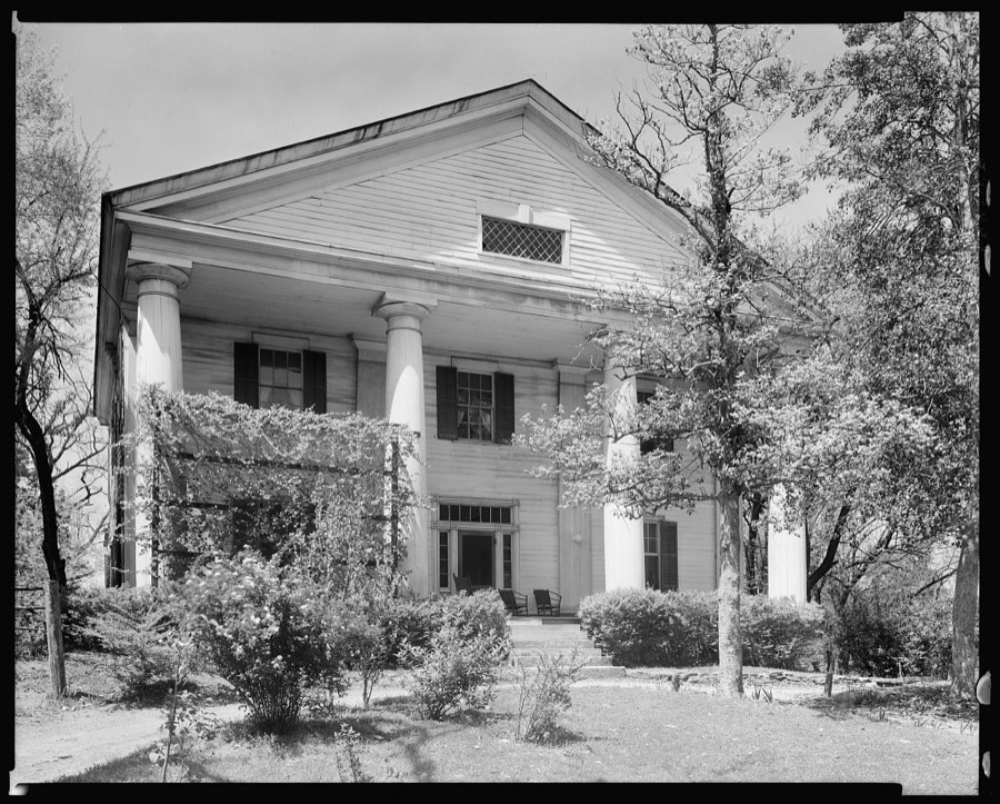
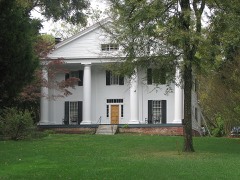
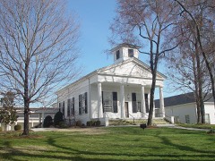
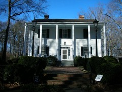
Bulloch Hall, Roswell, Fulton County, Georgia
Johnston, Frances Benjamin, 1939. Library of Congress
This is the Rich's Department Store that opened in 1924 in downtown Atlanta, Georgia where it remained until 1991
Highsmith, Carol M, 2022. Library of Congress
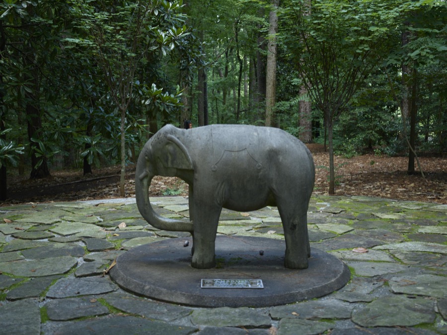
Elephant sculpture at the Swan House, a historic house museum in Atlanta, the capital city of the southern U.S. state of Georgia and the state's largest city
Highsmith, Carol M, 2017. Library of Congress
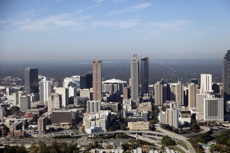
Aerial photograph of the skyscraper-filled downtown heart of Atlanta, Georgia, taken in October 2017
Highsmith, Carol M, 2017. Library of Congress
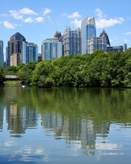
Dusk shot of the skyline of Atlanta, the capital of, and largest city in, the southeastern state of Georgia
Highsmith, Carol M, 2017. Library of Congress
Aerial photograph of Atlanta, Georgia, taken in October 2017, with a focus on the city's Buckhead neighborhood
Highsmith, Carol M, 2017. Library of Congress
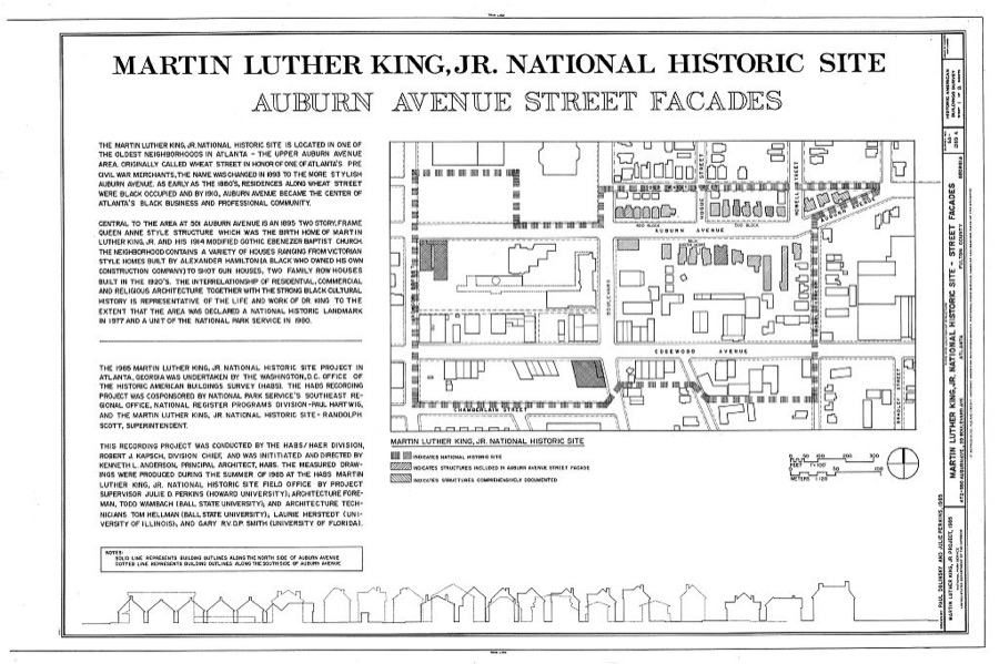
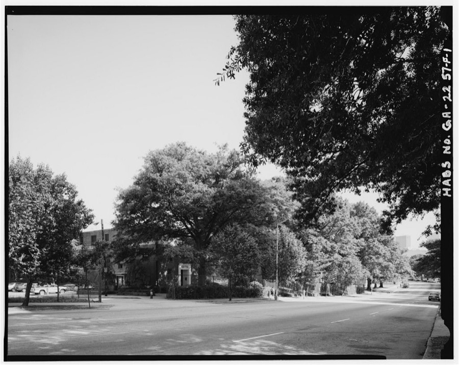
Martin Luther King, Jr. National Historic Site, 472-550 Auburn Avenue & 39 Boulevard Avenue, 472-550 Auburn Avenue & 39 Boulevard Avenue, Atlanta, Fulton County, GA
Photographer not recorded. Library of Congress
Techwood Homes, McDaniel Dormitory, 581-587 Techwood Drive, Atlanta, Fulton County, GA
Photographer not recorded. Library of Congress
Guyn House, 3524 Roxboro Road, Atlanta, Fulton County, GA
Photographer not recorded. Library of Congress
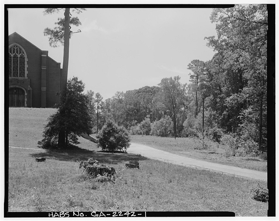
Atlanta University, Stone Hall, Morris Brown College Campus, Atlanta, Fulton County, GA
Photographer not recorded. Library of Congress
Arkwright House, 1585 Ponce DeLeon Avenue, Atlanta, Fulton County, GA
Photographer not recorded. Library of Congress
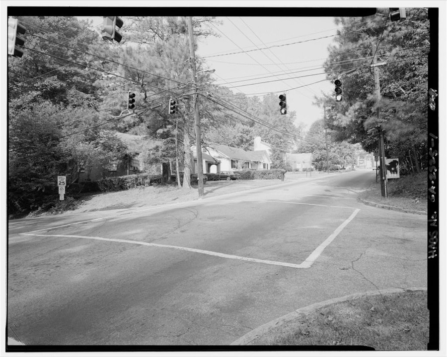
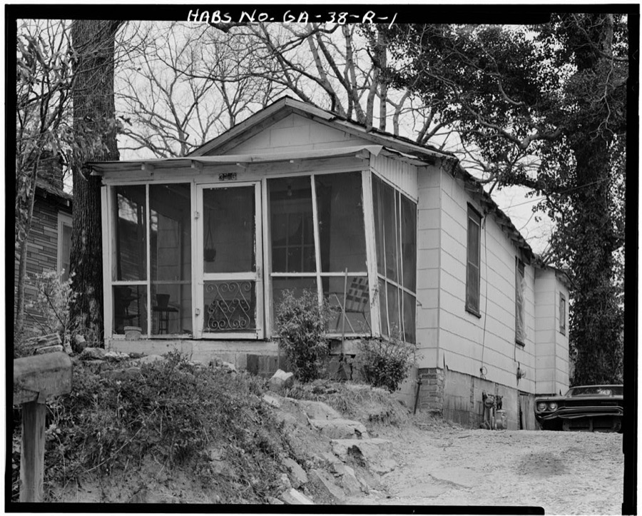
3353 Oak Valley Road (House), Atlanta, Fulton County, GA
Photographer not recorded. Library of Congress
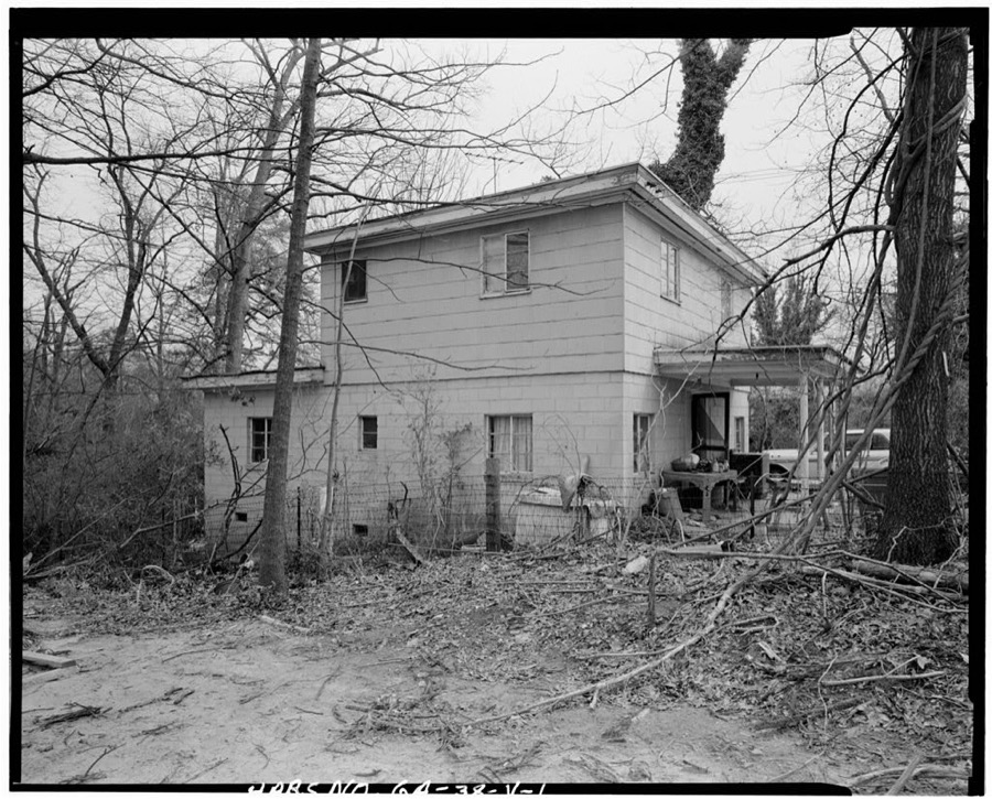
3371 Oak Valley Road (House), Atlanta, Fulton County, GA
Photographer not recorded. Library of Congress
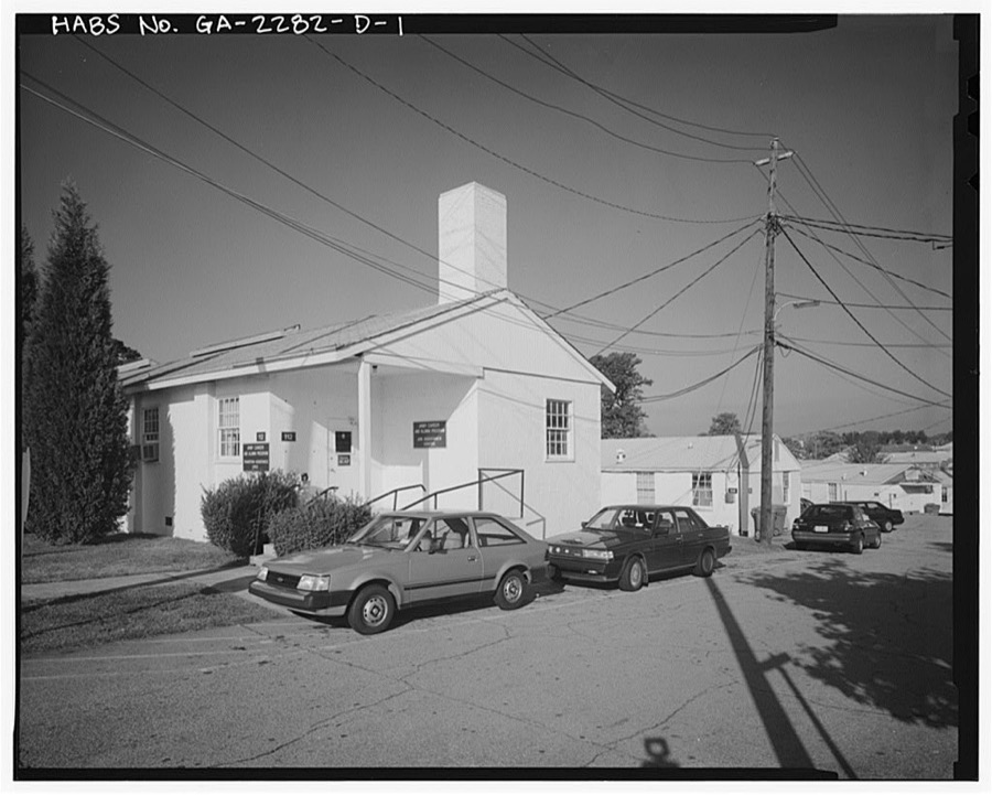
Fort McPherson, World War II Station Hospital, G. U. Treatment Unit Dispensary, Thorne Avenue, Atlanta, Fulton County, GA
Photographer not recorded. Library of Congress
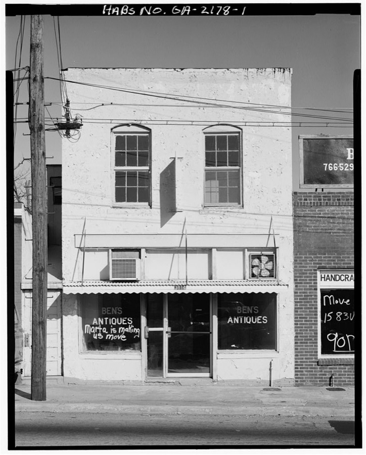
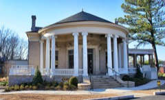
Old College Park City Hall, 3814 East Main Street, College Park, Fulton County, GA
Photographer not recorded. Library of Congress
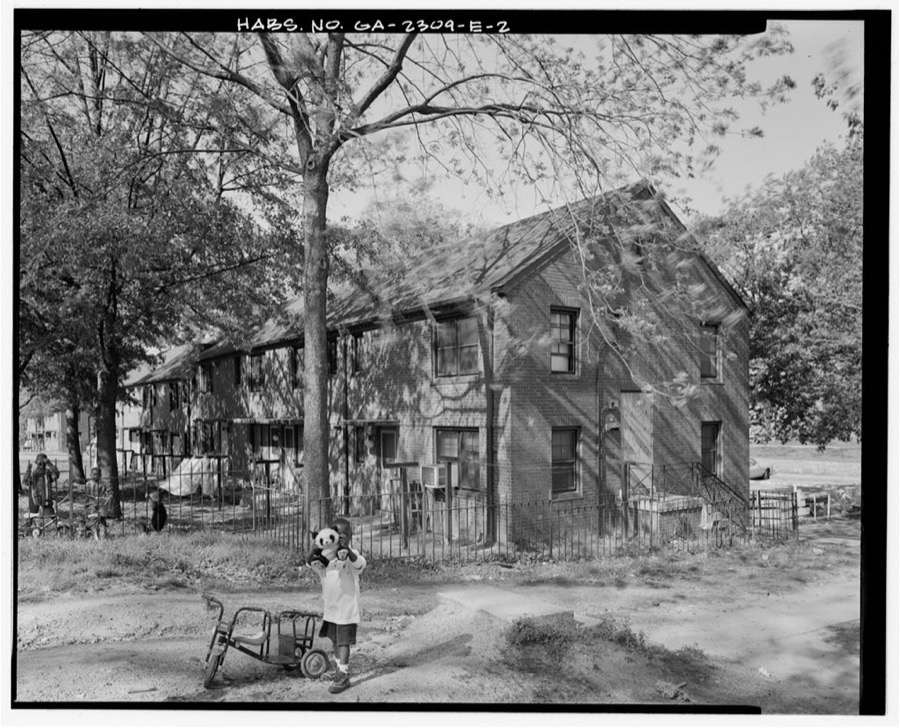
Clark Howell Homes, Building A-1, 474 Venable Street, Atlanta, Fulton County, GA
Photographer not recorded. Library of Congress

Places on the National Register

258

Every property in this county listed on the National Register of Historic Places, with the year it was listed and the federal nomination document.

Photograph PropertyType ListedReference
61 16th Street Apartment Buildingbuilding200606000732
63 Magnum Street Industrial Buildingbuilding199696000696
696 Peachtree Street Apartmentsbuilding201313000240
705 Piedmont Avenue Apartmentsbuilding199191001853
Academy of Medicinebuilding198080001070
Adair Park Historic Districtdistrict200000000563
Charles R. Adams Parkdistrict202112001167
Jack and Helen Adams Lustron Housebuilding199696000212
Alberta Drive-Mathieson Drive-West Shadowlawn Avenue Historic Districtdistrict201514001208
Cecil and Hermione Alexander Housebuilding201010000116
Ansley Park Historic Districtdistrict197979000717
Ansley Park Historic District (Boundary Increase, Decrease and Additional Documentation)district201515000466
Apartments at 2 Collier Roadbuilding200707000937
Apartments at 22-24 Collier Roadbuilding200707000938
Thomas P. Arnold Housebuilding198484001074
Ashby Street Car Barnbuilding199898000972
Atkins Park Districtdistrict198282004619
Atlanta Biltmore Hotel and Biltmore Apartmentsbuilding198080001071
Atlanta Buggy Company and Warehouse-Hatcher Bros. Furniture Companybuilding199292001070
Atlanta City Hallbuilding198383000227
Atlanta Constitution Buildingbuilding2026100012592
Atlanta Spring and Bed Company-Block Candy Companybuilding199595000910
Atlanta Stockadebuilding198787000948
Atlanta Waterworks Hemphill Avenue Stationbuilding197878000982
Atlanta Women's Clubbuilding197979000718
Atlanta and West Point Railroad Freight Depotbuilding197676000620
B. Mifflin Hood Brick Company Buildingbuilding2018100003173
Levi Ballard Housebuilding198080001080
Baltimore Blockbuilding197676000622
Barrington Hallbuilding197171000275
Bass Furniture Buildingbuilding197979000719
John F. Beavers Housebuilding198484001075
Berkeley Park Historic Districtdistrict200303000536
Bolton Lodge No. 416building2025100011607
Dr. Brailsford R. Brazeal Housebuilding200505000278
Briarcliff Hotelbuilding198282002415
Briarcliff Plazadistrict2020100005182
Dr. Marion Luther Brittain Sr. Housebuilding199393000999
Brookhaven Historic Districtdistrict198686000134
Brookwood Hills Historic Districtdistrict197979003776
Building at 161 Spring St.building200101000644
Building at 220 Sunset Avenue, NWbuilding2026100012511
Building at 760-768 Confederate Avenuebuilding2018100003037
Buildings at 523-549 Stewart Avenuebuilding2023100009517
Bulloch Hallbuilding197171000276
Burns Cottagebuilding198383003572
Butler Street Colored Methodist Episcopal Churchbuilding198383000228
Cabbagetown Districtdistrict197676000623
Campbell County Courthousebuilding197676000634
Candler Buildingbuilding197777000424
Canton Apartmentsbuilding198080004456
Capital City Clubbuilding197777000425
Capitol View Apartmentsbuilding2023100009520
Capitol View Historic Districtdistrict201616000195
Capitol View Manor Historic Districtdistrict201313000876
Cascade Heights Commercial Historic Districtdistrict2020100005817
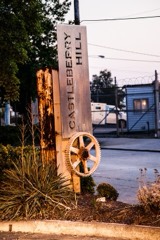
Castleberry Hill Historic Districtdistrict198585001742
Central Presbyterian Churchbuilding198686000366
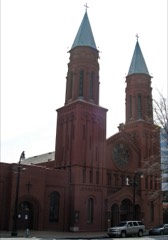
Church of the Sacred Heart of Jesusbuilding197676000625
Citizen's and Southern Bank Buildingbuilding197777000426
Coca-Cola Building Annexbuilding199696001138
College Park Historic Districtdistrict199696001338
College Street Schoolbuilding199595000902
Collier Heights Historic Districtdistrict200909000457
Collier-Perry-Bentley Housebuilding2021100006307
Daniel E. Conklin Housebuilding2022100008463
Cooledge, F. J., and Sons, Company-Hastings' Seed Companybuilding199595001229
Cox-Carlton Hotelbuilding200606000960
Crescent Apartmentsbuilding199696000649
William H. Crogman Schoolbuilding200505000692
Cyclorama of the Battle of Atlantaobject197171000274
H.B. Davis Building-Hotel Roxybuilding199797001123
Degive's Grand Opera Housebuilding197777000427
Dixie Coca-Cola Bottling Company Plantbuilding197777000428
East Point Industrial Districtdistrict198585001971
Rutherford and Martha Ellis Housebuilding200909000269
Empire Manufacturing Company Buildingbuilding200202000078
English Avenue Schoolbuilding2020100005101
English-American Buildingbuilding197676000626
Thomas and Rae Epting Lustron Housebuilding199696000210
F.H. Ross & Company Laundry Warehousebuilding2020100005906
Fairburn Commercial Historic Districtdistrict198888002015
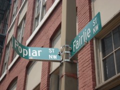
Fairlie-Poplar Historic Districtdistrict198282002416
Farlingerbuilding198282002417
Fire Station No. 11building198080001073
First Congregational Churchbuilding197979000720
First Methodist Episcopal Church, Southbuilding201010001000
First Presbyterian Church of Atlantabuilding2020100005252
Ford Motor Company Assembly Plantbuilding198484001080
Forscom Command Sergeant Major's Quartersbuilding197575000595
Fort Peacebuilding2018100002982
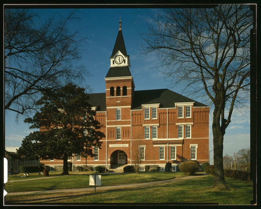
Fountain Hallbuilding197676000621
Fox Theatrebuilding197474002230
Fox Theatre Historic Districtdistrict197878003178
Freeman Ford Buildingbuilding199898000968
Fulton County Almshousebuilding201413001169
Fulton County Courthousebuilding198080001074
Gaines Hallbuilding197676000621
Garden Hills Historic Districtdistrict198787001362
Garrison Apartmentsbuilding197979000721
General Electric Company Repair Shop Warehousebuilding200808000968
George Towns housebuilding197676000621
Georgia Institute of Technology Historic Districtdistrict197878000983
Georgia State Capitolbuilding197171001099
Jeremiah S. Gilbert Housebuilding198080001075
Glenn Buildingbuilding200808000350
Glenridge Hallbuilding82002418
May Patterson Goodrum Housebuilding201313000215
Grace Towns Hamilton housebuilding197676000621
Grady Hospitalbuilding198181000652
Granada Apartmentsbuilding2026100012626
Grant Park Historic Districtdistrict197979000722
Grant Park Northdistrict198686000462
W. D. Grant Buildingbuilding197979003318
Great Atlantic & Pacific Tea Companybuilding200404001183
Griffith School of Musicbuilding199999000552
Habersham Memorial Hallbuilding197474000676
Hapeville Historic Districtdistrict200909000824
Joel Chandler Harris Housebuilding196666000281
Healey Buildingbuilding197777000429
Herndon Homebuilding200000000261
Highland Schooldistrict200606000959
Home Park Schooldistrict198989000851
Hotel Clermontbuilding2021100006310
Hotel Row Historic Districtdistrict198989000802
House at 690 South Boulevardbuilding2018100003174
Howell Interlocking Historic Districtdistrict200303000676
Howell Station Historic Districtdistrict199797000352
Mrs. George Arthur Howell Jr. Housebuilding199190002101
Hurt Buildingbuilding197777000431
Imperial Hotelbuilding198383000229
Inman Parkdistrict197373000621
Inman Park Historic District Boundary Increasedistrict200101000973
Inman Park-Moreland Historic Districtdistrict198686001209
Inman Park-Moreland Historic District (Boundary Increase)district200303001016
Island Ford Lodgebuilding201616000747
King Plow Companydistrict199696000337
Martin Luther King Jr. Historic Districtdistrict197474000677
Martin Luther King Jr. National Historic Site and Preservation Districtdistrict198080000435
M.C. Kiser Company Buildingbuilding2019100003966
William and Ruth Knight Lustron Housebuilding199696000208
Knox Apartments, Cauthorn House and Peachtree Road Apartments Historic Districtdistrict199898000248
Victor H. Kriegshaber Housebuilding197979000723
Lakewood Heights Historic Districtdistrict200202000712
Lindridge-Martin Manor Historic Districtdistrict201515000412
Crawford W. Long Memorial Hospitalbuilding198888001465
Manuel's Tavernbuilding2020100005253
Mark Inn Eastbuilding2026100012512
Means Street Historic Districtdistrict200101000648
Medical Arts Buildingbuilding201616000816
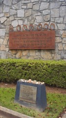
Memorial to the Six Millionstructure200808000351
Kenneth and Hazel Meredith Housebuilding2018100003150
Methodist Cemeterysite2021100006327
Methodist Centerbuilding2023100008493
Midtown Historic Districtsite199999000161
Mozley Park Historic Districtdistrict199595000909
National NuGrape Companybuilding199696001502
New Hope African Methodist Episcopal Church and Cemeterybuilding200908001281
Newtown Elementary Schoolbuilding200606000739
William P. Nicolson Housebuilding197777000432
North Avenue Presbyterian Churchbuilding197878000984
Oakland Cemeterydistrict197676000627
Oakland City Historic Districtdistrict200303000198
Odd Fellows Building and Auditoriumbuilding197575000594
Omega Chapter of the Chi Phi Fraternitybuilding198282002419
J. K. Orr Shoe Companybuilding199595001135
Paces Ferry Towerbuilding2023100009574
Packard Hallbuilding197676000621
Palmer House and Phelan House Apartmentsbuilding200404001182
Park Street Methodist Episcopal Church, Southbuilding199797000405
Peachtree Center Historic Districtdistrict2018100002207
Peachtree Christian Churchbuilding198484001082
Peachtree Heights Parkdistrict198080004457
Peachtree Highlands Historic Districtdistrict198686001252
Peachtree Highlands-Peachtree Park Historic Districtdistrict200808000325
Peachtree Southern Railway Stationbuilding197676000628
Edward C. Peters Housebuilding197272000384
Piedmont Parkdistrict197676000629
Piedmont Park Apartmentsbuilding200303001104
Thomas H. Pitts House and Dairybuilding197979000724
Pittsburgh Historic Districtdistrict200606000503
Prince Hall Masonic Lodgebuilding200100000741
William G. Raoul Housebuilding198686003298
Retail Credit Company Home Office Buildingbuilding198080001076
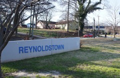
Reynoldstown Historic Districtdistrict200302001405
Rhodes Memorial Hallbuilding197474000678
Rhodes-Haverty Buildingbuilding197979000725
Isaac Roberts Housebuilding200808000262
Rock Spring Presbyterian Churchbuilding199090000804
Rufus M. Rose Housebuilding197777000433
Roswell Historic Districtdistrict197474000682
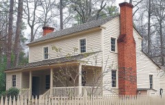
Simeon and Jane Rucker Log Housebuilding199797000353
Samuel T. Graves Hallbuilding197676000621
Sardis Methodist Church and Cemeterybuilding201212000840
Charles E. Sciple Housebuilding198484001084
Sears, Roebuck and Co. Mail-Order Warehouse and Retail Storebuilding201616000769
Selig Company Buildingbuilding199696000158
Shrine of the Immaculate Conceptionbuilding197676000630
Archibald Smith Housedistrict200606000740
Tullie Smith Housebuilding197070000204
Southern Bell Telephone Company Buildingbuilding197878000985
Southern Belting Company Buildingbuilding198888001174
Southern Dairiesbuilding200202000872
Southern Railway North Avenue Yards Historic Districtdistrict200202000539
Southern Spring Bed Companybuilding200707000088
Sperry & Hutchinson Company Warehousebuilding2021100006164
Spotswood Hallbuilding200201001556
St. Andrews Apartmentsbuilding198686001260
St. Mark Methodist Churchbuilding198787001911
Staff Row and Old Post Area (Boundary Increase)district201313000662
Staff Row and Old Post Area-Fort McPhersondistrict197474000679
Stewart Avenue Industrial Historic Districtdistrict2026100012668
Stewart Avenue Methodist Episcopal Church Southbuilding198989000154
Stone Hall, Atlanta Universitybuilding197474000680
Stonewall Park Historic Districtdistrict2020100005890
Swan Housebuilding197777000434
Sweet Auburn Historic Districtdistrict197676000631
Techwood Homes Historic Districtdistrict197676000632
Temple, Thebuilding198282002420
Texas, Thestructure197373002234
Albert E. Thornton Housebuilding198080004458
Thorton Buildingbuilding198484001107
Henry B. Tompkins Housebuilding197676000633
Trevor Arnett Hallbuilding197676000621
Trio Steam Laundrybuilding199797001122
Troy Peerless Laundry Buildingbuilding199999001100
Trust Company of Georgia Northeast Freeway Branchbuilding2018100002093
Trygvesonbuilding198080004241
Tuxedo Park Historic Districtdistrict2025100011463
Mary Elizabeth Tyler Housebuilding200605001598
Tyree Buildingbuilding198282002421
U.S. Post Office and Courthousebuilding197474000681
Underground Atlanta Historic Districtdistrict198080001077
United States Post Office, Federal Annexbuilding200604001217
Utoy Cemeterysite201515000025
E. Van Winkle Gin and Machine Worksbuilding197979000726
Villa Lamarbuilding198888001152
Virginia-Highland Historic Districtdistrict200505000402
Anne Wallace Branch-Carnegie Library of Atlantabuilding200303001223
Washington Carver Homesdistrict2023100008543
Washington Park Historic Districtdistrict200000000071
Booker T. Washington High Schoolbuilding198686000437
West Hunter St Baptist Churchbuilding199997000621
West Hunter Street Baptist Churchbuilding197676000621
Western Electric Company Buildingbuilding200000001329
Western and Atlantic Railroad Zero Milepostobject197777000435
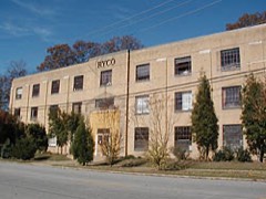
Westinghouse Electric Company Buildingbuilding200101000080
Westview Cemeterydistrict2020100005254
Wheat Street Baptist Churchbuilding200100000741
Whitehall Street Retail Historic Districtdistrict2020100005409
Whittier Mills Historic Districtdistrict200101000972
Judge William Wilson Housebuilding198080001078
Winecoff Hotelbuilding200909000185
Winnwood Apartmentsbuilding2021100006379
Winship, George, Jr., and Emily, Housebuilding200505000404
Stuart Witham Housebuilding197878000986
Wynne-Claughton Buildingbuilding201212000148
Yonge Street Schoolbuilding198080001079

Digitised newspapers

45 issues

Sampled issues, machine-read from the Library of Congress scan and published page by page, so every headline and column is searchable text.

The Presbyterian of the South : [Combining the] Southwestern Presbyterian, Central Presbyterian, Southern Presbyterian

Atlanta, Ga., 1909 to 1931. Machine-read from the Library of Congress scan.

The Golden Age

Atlanta, Ga., 1906 to 1920. Machine-read from the Library of Congress scan.

The Weekly Georgian

Atlanta, Ga., 1913 to 19??. Machine-read from the Library of Congress scan.

Atlanta Age

Atlanta, Ga., 1898 to 19??. Machine-read from the Library of Congress scan.

The Weekly Defiance

Atlanta, Ga., 1881 to 1889. Machine-read from the Library of Congress scan.

Voice of Missions

Atlanta, Ga., 1893 to 1900. Machine-read from the Library of Congress scan.

People's Party Paper

Atlanta, Ga., 1891 to 1898. Machine-read from the Library of Congress scan.

Atlanta Semi-Weekly Journal

Atlanta, Ga.; Atlanta, GA, 1898 to 1920. Machine-read from the Library of Congress scan.

The Atlanta Constitution

Atlanta, Ga., 1885 to 19??. Machine-read from the Library of Congress scan.

Atlanta Tri-Weekly Journal

Atlanta, Ga., 1920 to 19??. Machine-read from the Library of Congress scan.

Atlanta Georgian

Atlanta, Ga., 1912 to 1939. Machine-read from the Library of Congress scan.

Weekly Jeffersonian

Atlanta, Ga., 1906 to 1907. Machine-read from the Library of Congress scan.

Watson's Weekly Jeffersonian

Atlanta, Ga., 1907. Machine-read from the Library of Congress scan.

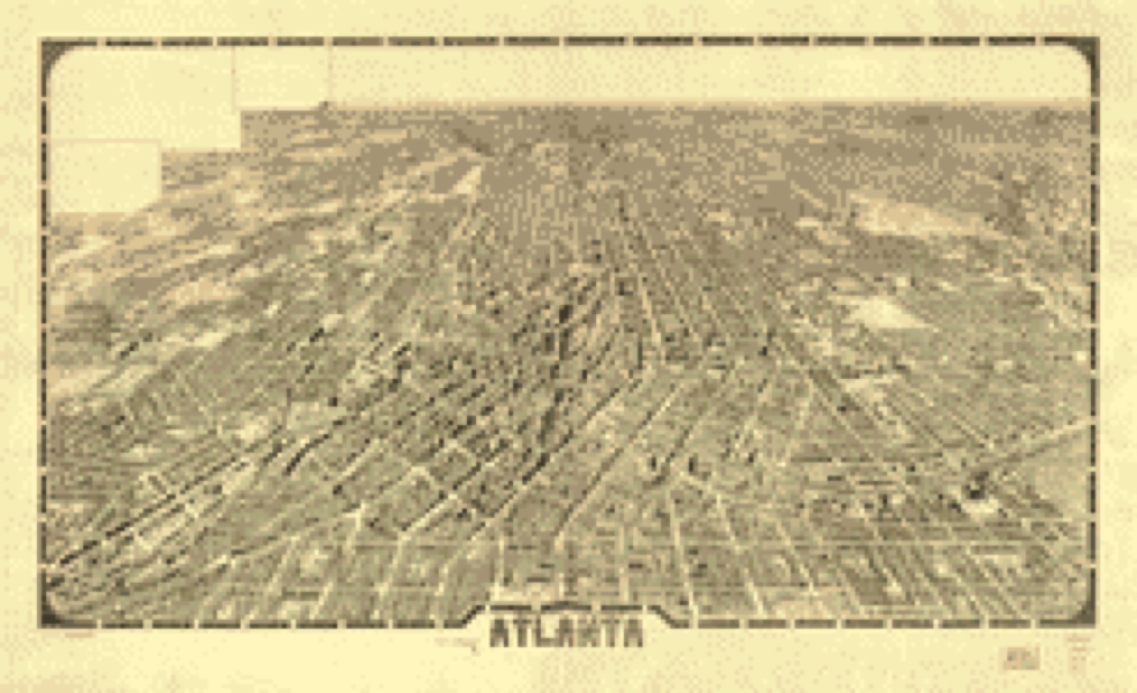
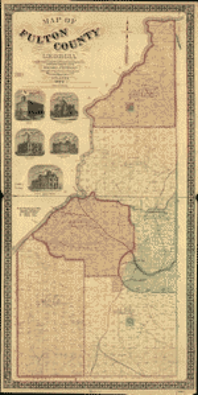
Bird's-eye views and land ownership maps

7

Drawn when these were printed as single large sheets: the town seen from the air, and the county divided into its farms with every owner named. Each opens the original at the Library of Congress.

Bird's-eye view, 1871 - Birds eye view of the city of Atlanta, the capitol of Georgia 1871
Bird's-eye view (1871) - Birds eye view of the city of Atlanta, the capitol of Georgia 1871. Library of Congress.
Bird's-eye view, 1892 - Bird's eye view of Atlanta, Fulton Co., State capital, Georgia
Bird's-eye view (1892) - Bird's eye view of Atlanta, Fulton Co., State capital, Georgia. Library of Congress.
Bird's-eye view, 1919 - Atlanta
Bird's-eye view (1919) - Atlanta. Library of Congress.
Land ownership map, 1864 - Part of DeKalb and Fulton County, Ga. : compiled for the use of the Topographical Engrs. from the original land map & surveys of DeKalb County
Land ownership map (1864) - Part of DeKalb and Fulton County, Ga. : compiled for the use of the Topographical Engrs. from the original land map & surveys of DeKalb County. Library of Congress.
Land ownership map, 1864 - [Part of DeKalb and Fulton County, Georgia : compiled for the use of the Topographical Engineers from the original land map and surveys of DeKalb County
Land ownership map (1864) - [Part of DeKalb and Fulton County, Georgia : compiled for the use of the Topographical Engineers from the original land map and surveys of DeKalb County. Library of Congress.
Land ownership map, 1893 - Map of Fulton County, Georgia
Land ownership map (1893) - Map of Fulton County, Georgia. Library of Congress.
Land ownership map, 1864 - [Map of part of the counties of Fulton and Cobb, Georgia, showing fortifications on the Chattahoochee River at Isoms Ford and Phillips Ferry]
Land ownership map (1864) - [Map of part of the counties of Fulton and Cobb, Georgia, showing fortifications on the Chattahoochee River at Isoms Ford and Phillips Ferry]. Library of Congress.

Photographs from libraries nationwide

18 of 169 shown

Selected from the Digital Public Library of America's 169 image records catalogued for this county. Every one shown here carries a public-domain status or a licence that permits reuse on a site that carries advertising; non-commercial, share-alike and restricted images are excluded. The selection is spread across the county's towns (at most eight per town), so no single institution's bulk upload crowds out the rest. Each opens the holding library's record, and the complete set at the Digital Public Library of America is one click away.

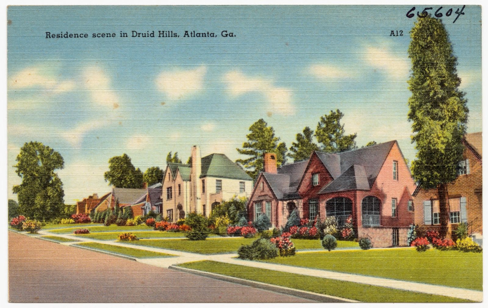
Residence scene in Druid Hills, Atlanta, Ga., Boston Public Library - undated
Residence scene in Druid Hills, Atlanta, Ga.. Boston Public Library, via the Digital Public Library of America.
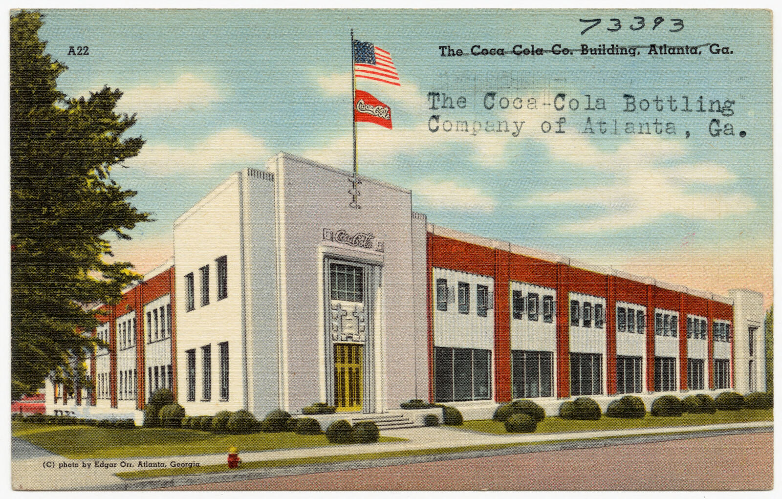
The Coca-Cola Bottling Company of Atlanta, Ga., Boston Public Library - undated
The Coca-Cola Bottling Company of Atlanta, Ga.. Boston Public Library, via the Digital Public Library of America.
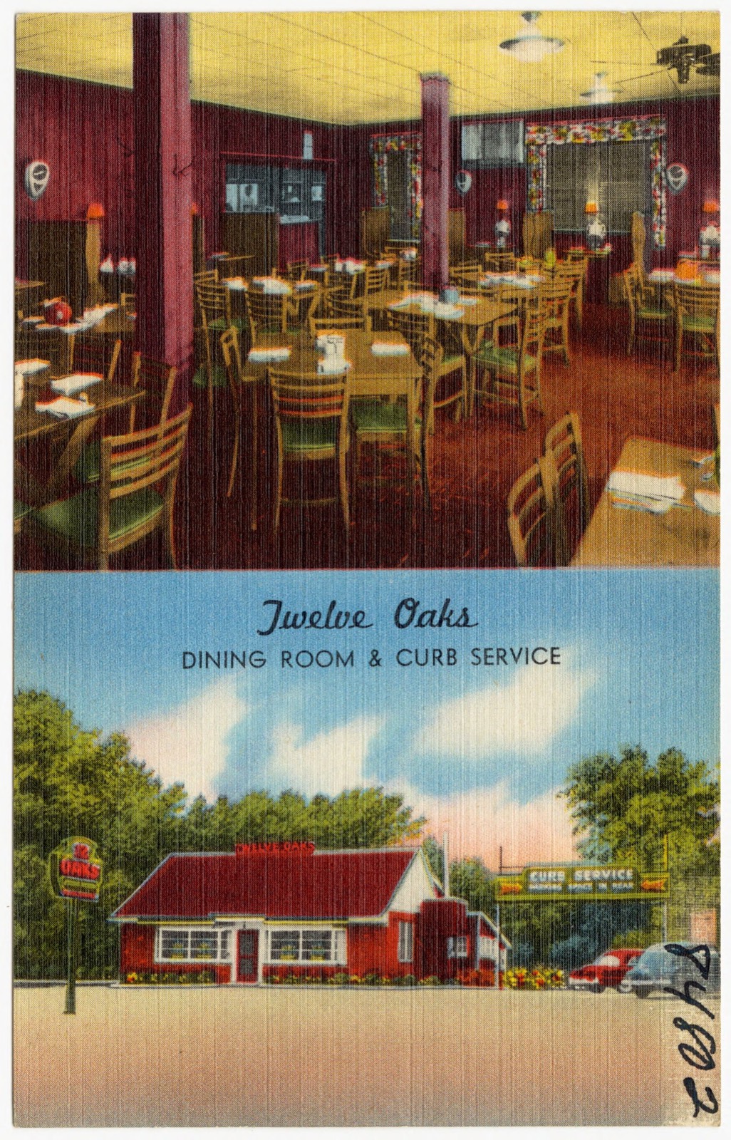
Twelve Oaks, dining room & curb service, Boston Public Library - undated
Twelve Oaks, dining room & curb service. Boston Public Library, via the Digital Public Library of America.
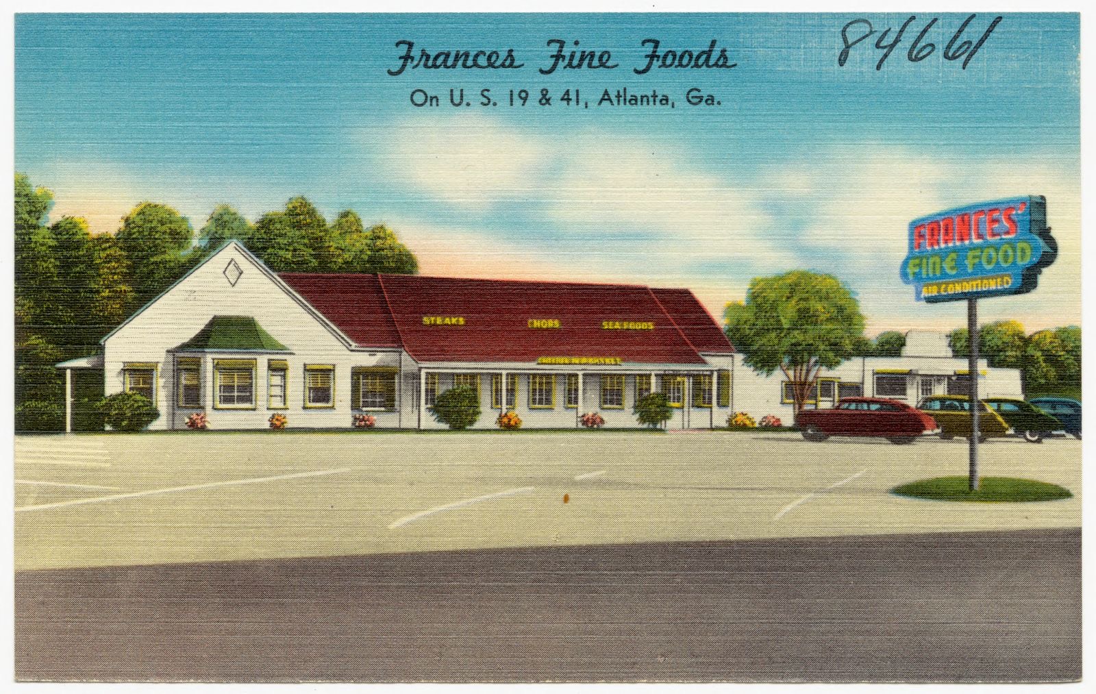
Frances Fine Foods on U. S. 19 & 41, Atlanta, Ga., Boston Public Library - undated
Frances Fine Foods on U. S. 19 & 41, Atlanta, Ga.. Boston Public Library, via the Digital Public Library of America.
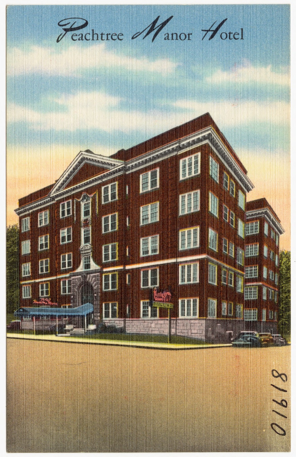
Peachtree Manor Hotel, Boston Public Library - undated
Peachtree Manor Hotel. Boston Public Library, via the Digital Public Library of America.
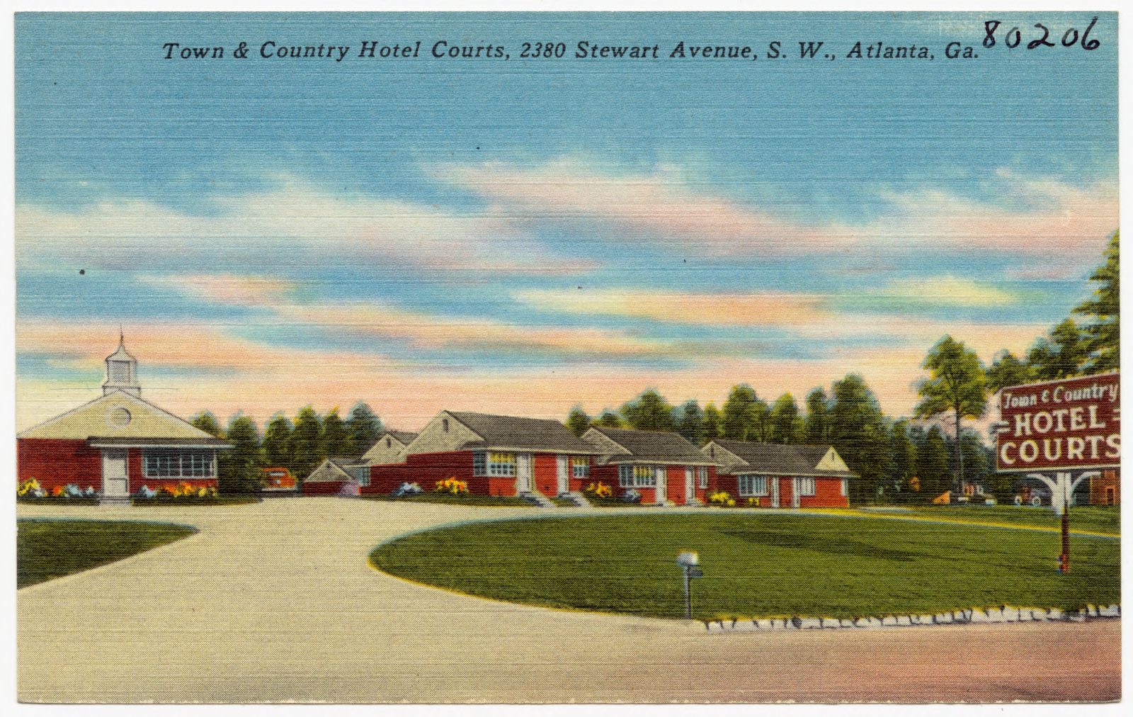
Town & Country Hotel Courts, 2380 Stewart Avenue, S. W., Atlanta, Ga., Boston Public Library - undated
Town & Country Hotel Courts, 2380 Stewart Avenue, S. W., Atlanta, Ga.. Boston Public Library, via the Digital Public Library of America.
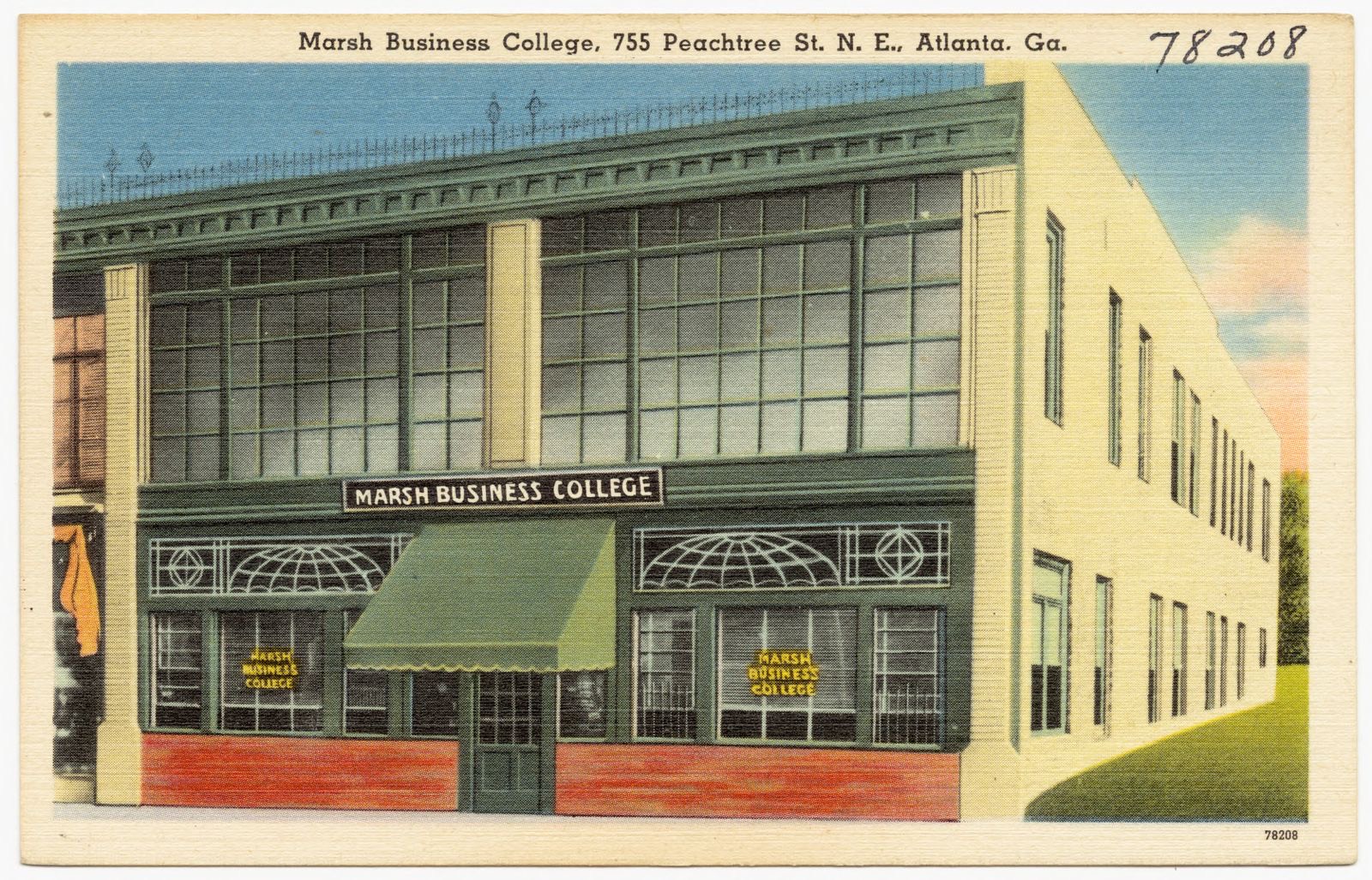
Marsh Business College, 755 Peachtree St. N. E., Atlanta, Ga., Boston Public Library - undated
Marsh Business College, 755 Peachtree St. N. E., Atlanta, Ga.. Boston Public Library, via the Digital Public Library of America.
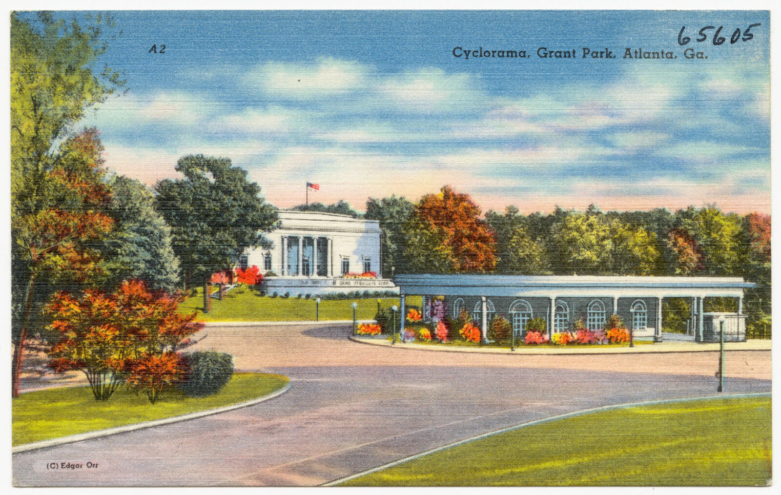
Cyclorama, Grant Park, Atlanta, Ga., Boston Public Library - undated
Cyclorama, Grant Park, Atlanta, Ga.. Boston Public Library, via the Digital Public Library of America.
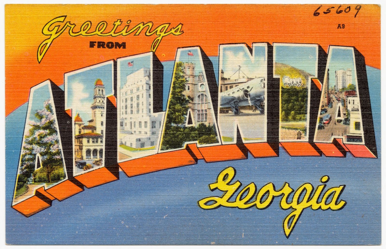
Greetings from Atlanta Georgia, Boston Public Library - undated
Greetings from Atlanta Georgia. Boston Public Library, via the Digital Public Library of America.
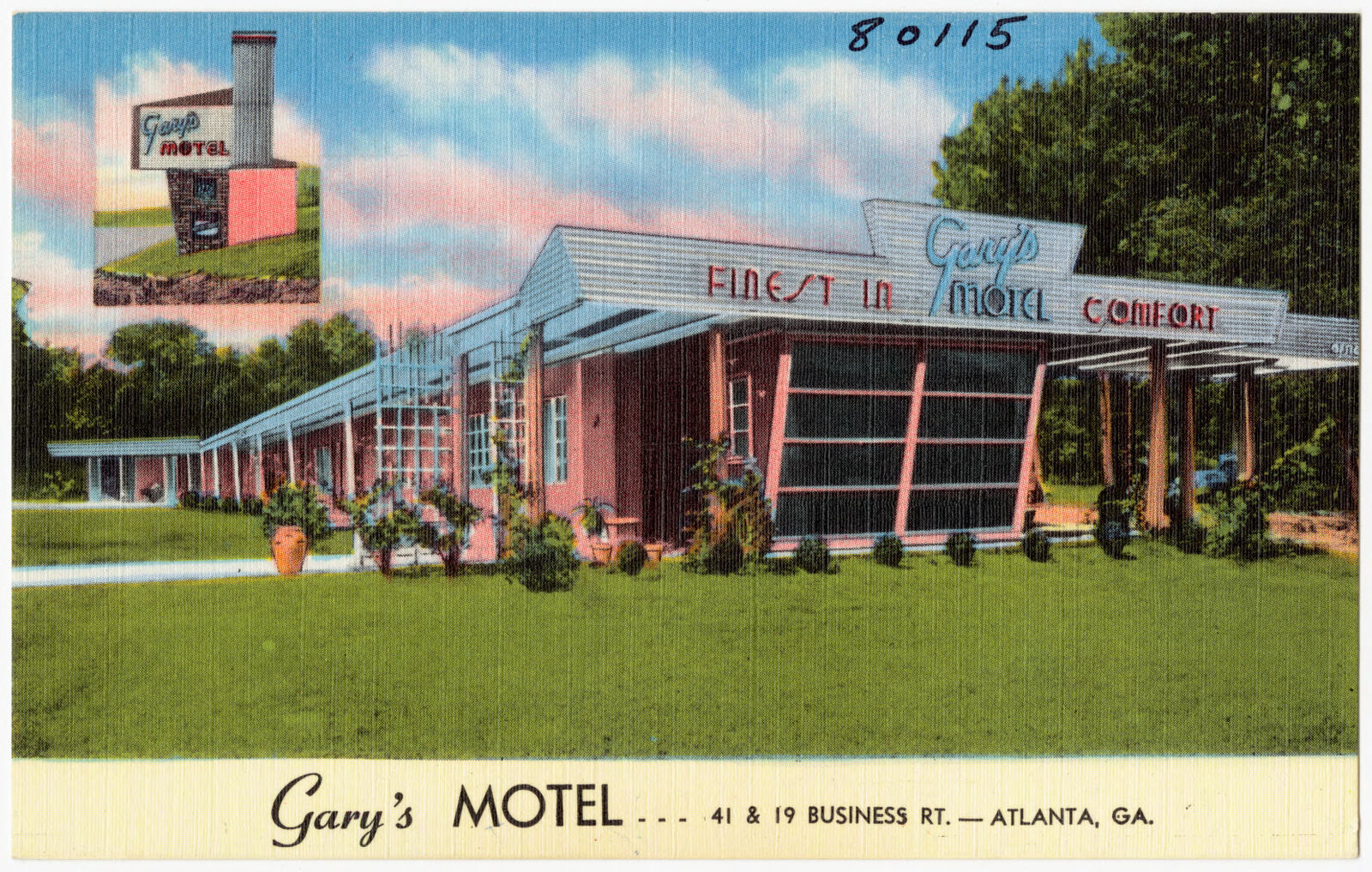
Gary's Motel...41 & 19 Business Rt. -- Atlanta, Ga., Boston Public Library - undated
Gary's Motel...41 & 19 Business Rt. -- Atlanta, Ga.. Boston Public Library, via the Digital Public Library of America.
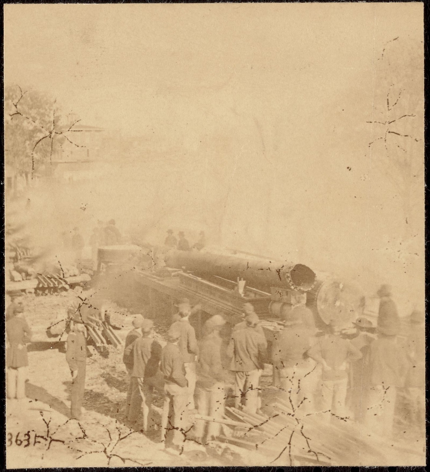
Sherman's men destroying railroad, Boston Public Library - undated
Sherman's men destroying railroad. Boston Public Library, via the Digital Public Library of America.
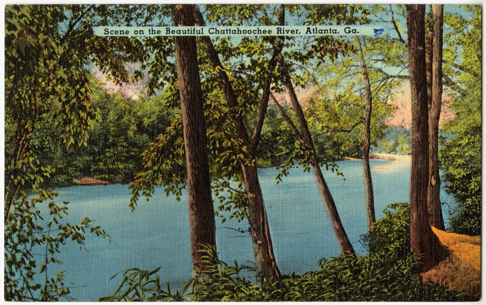
Scene on the beautiful Chattahoochee River, Atlanta, Ga., Boston Public Library - undated
Scene on the beautiful Chattahoochee River, Atlanta, Ga.. Boston Public Library, via the Digital Public Library of America.
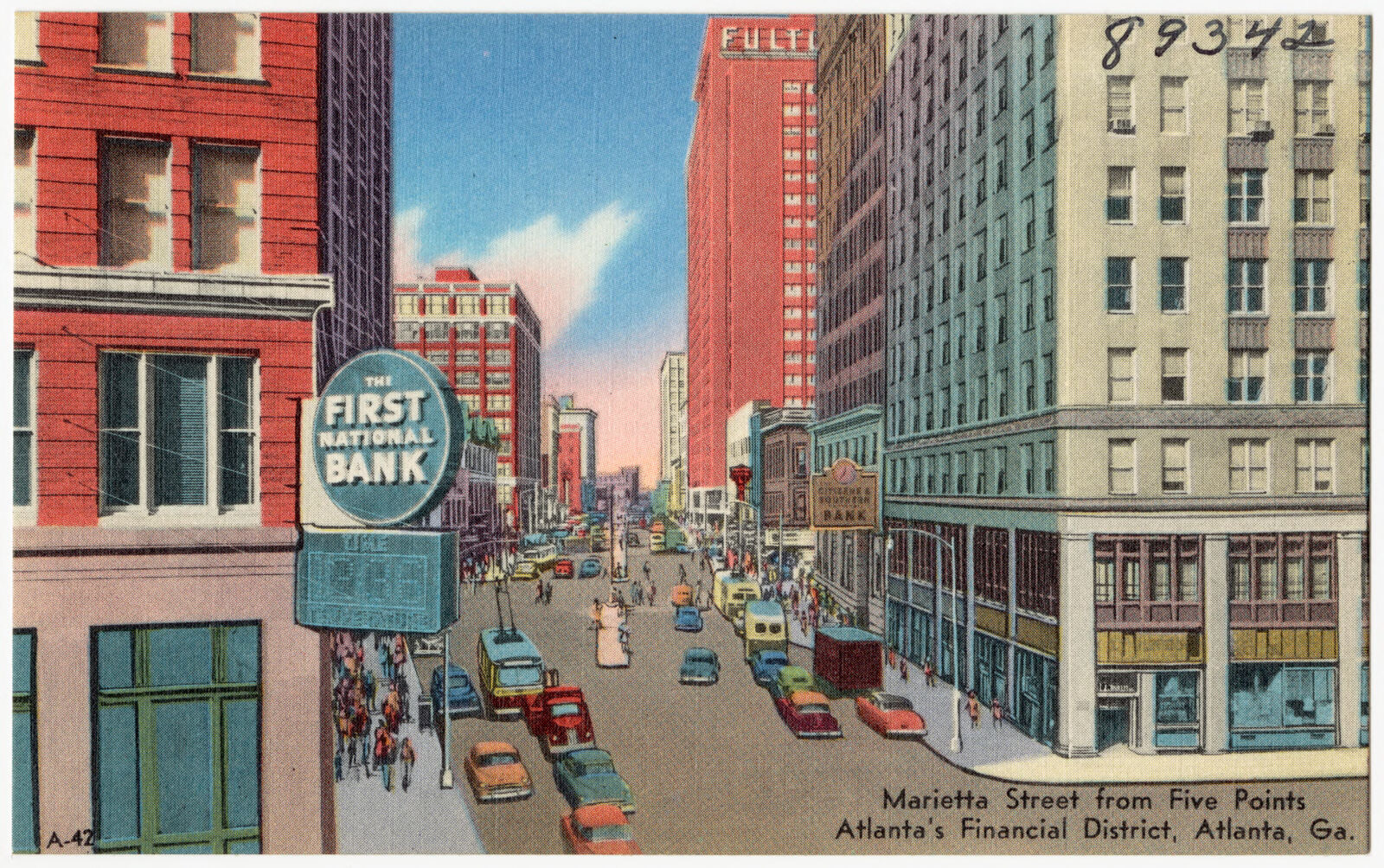
Marietta Street from Five Points, Atlanta's financial district, Atlanta, Ga., Boston Public Library - undated
Marietta Street from Five Points, Atlanta's financial district, Atlanta, Ga.. Boston Public Library, via the Digital Public Library of America.
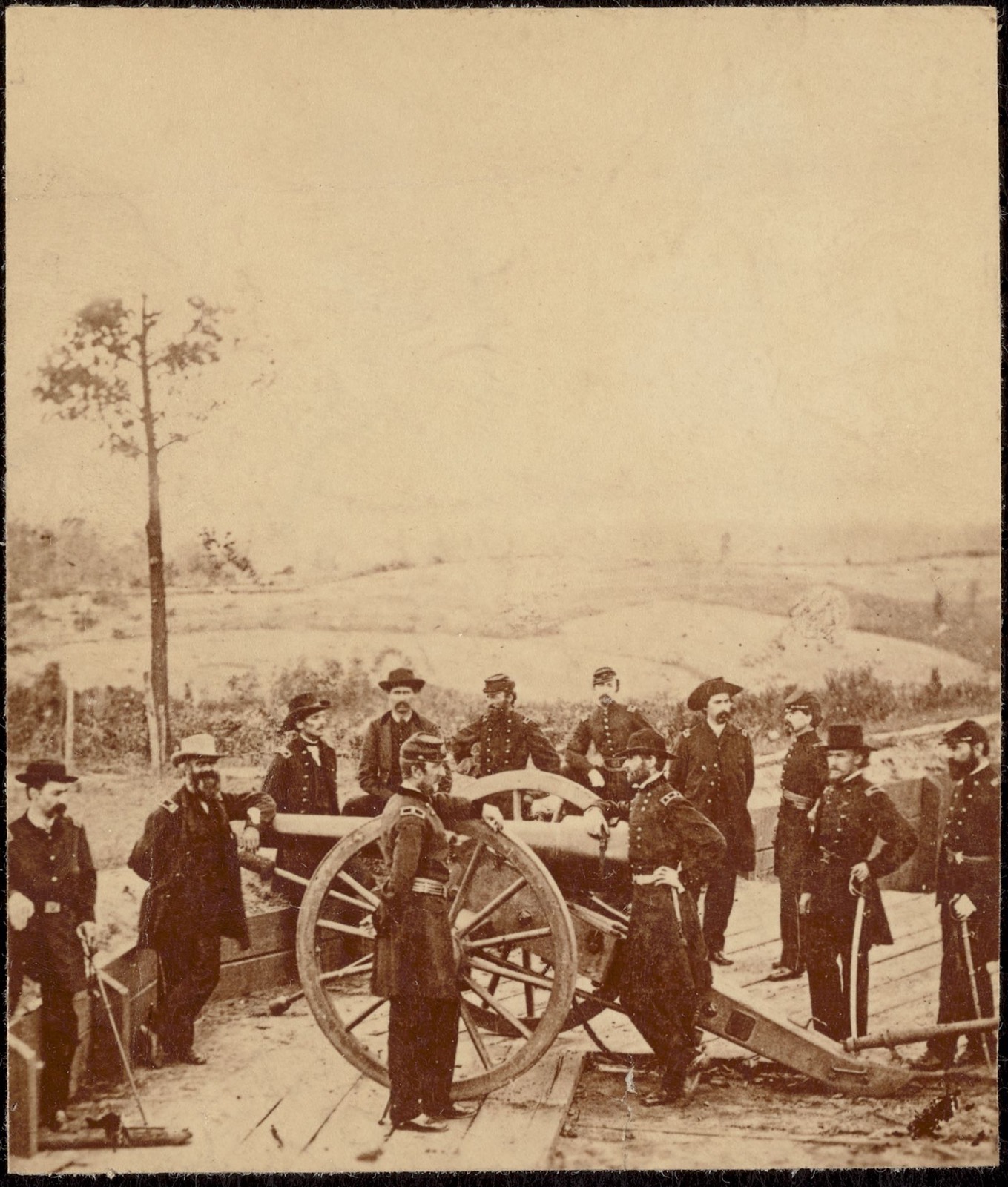
General Sherman and staff, Boston Public Library - undated
General Sherman and staff. Barnard, George N., 1819-1902, Boston Public Library, via the Digital Public Library of America.
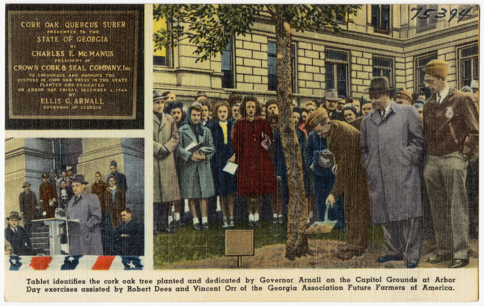
Tablet identifies the cork oak tree planted and dedicated by Governor Arnall on the capitol grounds at Arbor Day exercises assisted by Robert Dees and Vincent Orr of the Georgia Association Future Farmers of America., Boston Public Library - undated
Tablet identifies the cork oak tree planted and dedicated by Governor Arnall on the capitol grounds at Arbor Day exercises assisted by Robert Dees and Vincent Orr of the Georgia Association Future Farmers of America.. Boston Public Library, via the Digital Public Library of America.
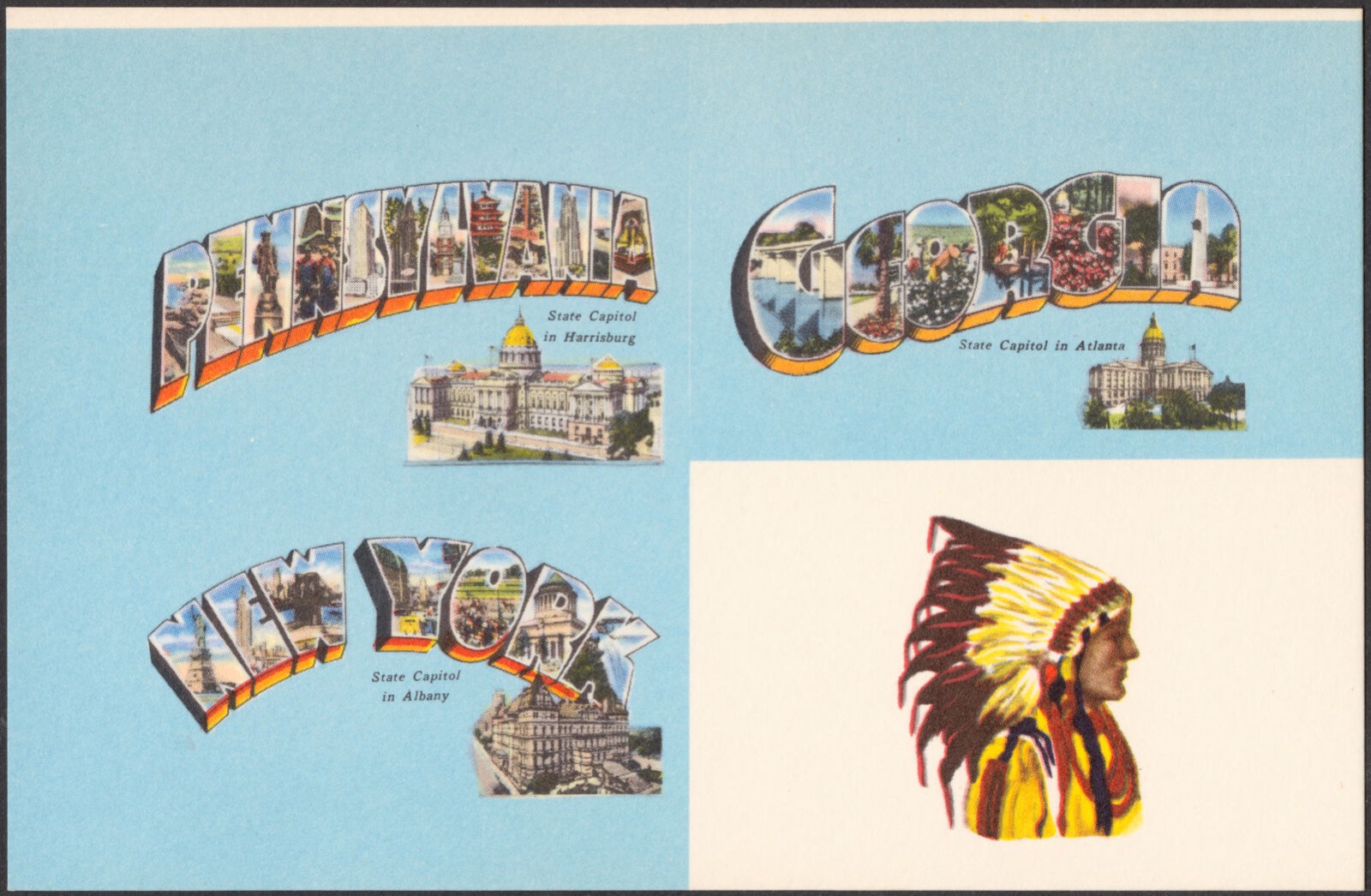
Pennsylvania. Georgia. New York, Boston Public Library - undated
Pennsylvania. Georgia. New York. Boston Public Library, via the Digital Public Library of America.
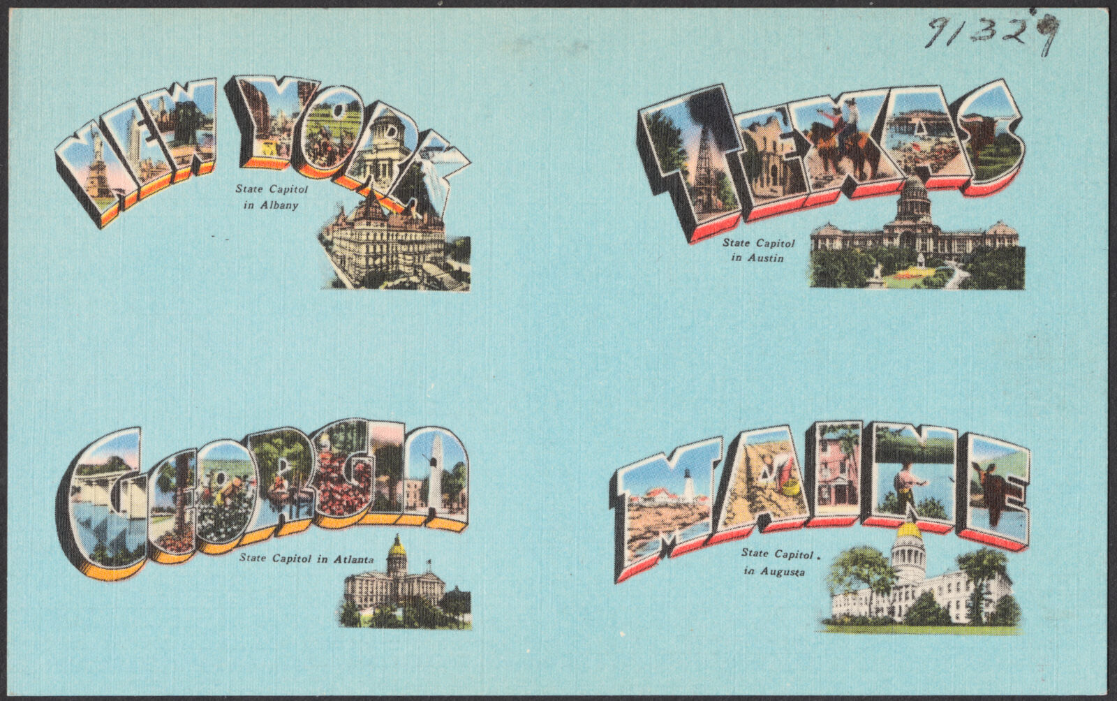
New York. Texas. Georgia. Maine, Boston Public Library - undated
New York. Texas. Georgia. Maine. Boston Public Library, via the Digital Public Library of America.
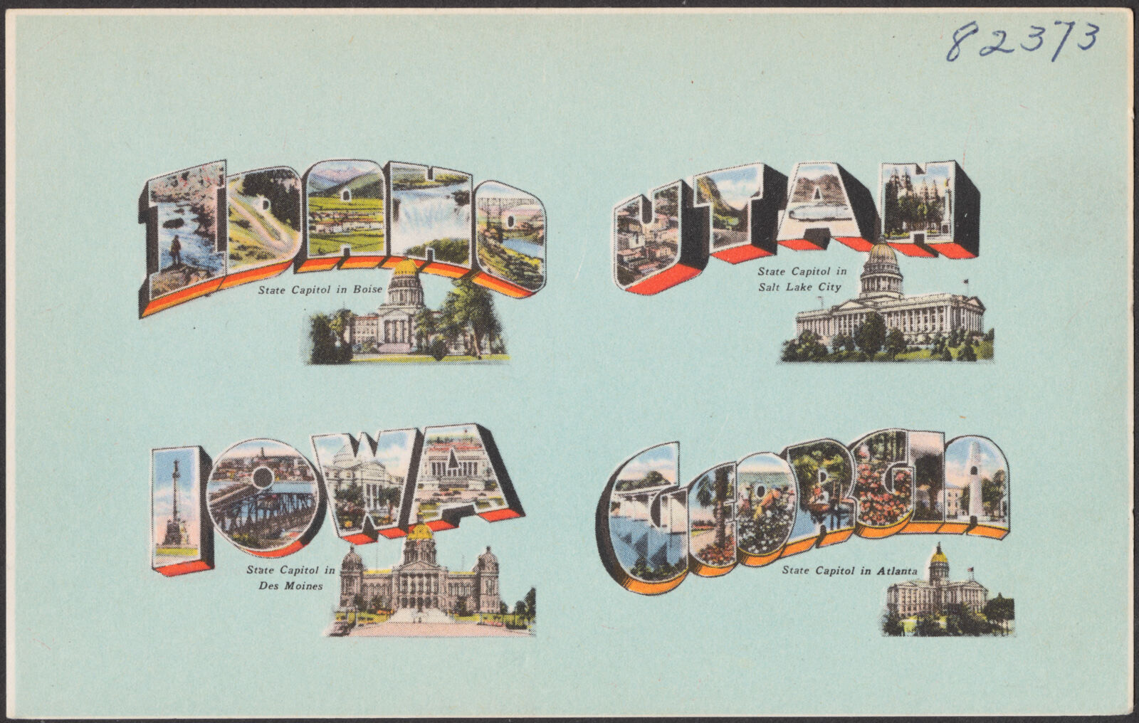
Idaho. Utah. Iowa. Georgia, Boston Public Library - undated
Idaho. Utah. Iowa. Georgia. Boston Public Library, via the Digital Public Library of America.

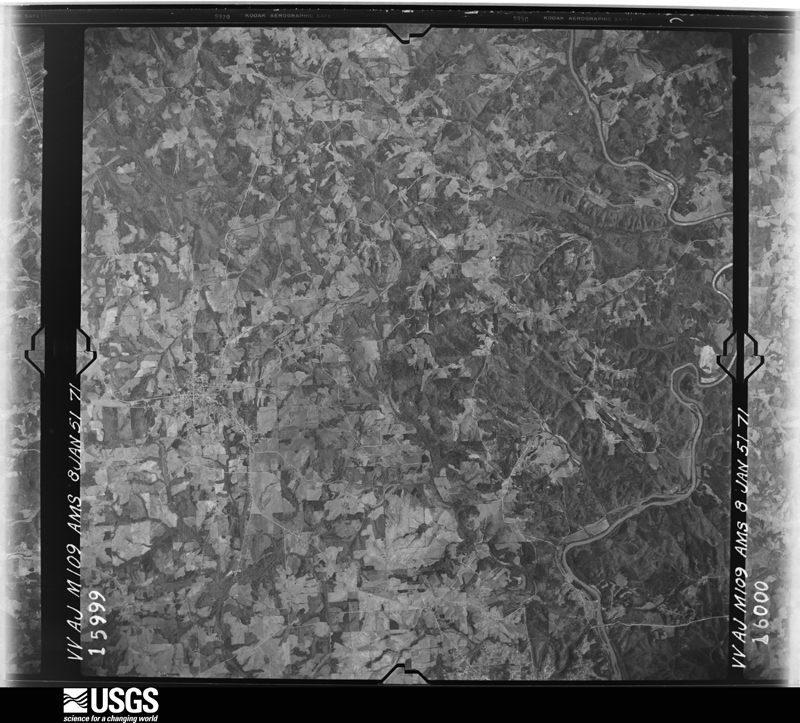
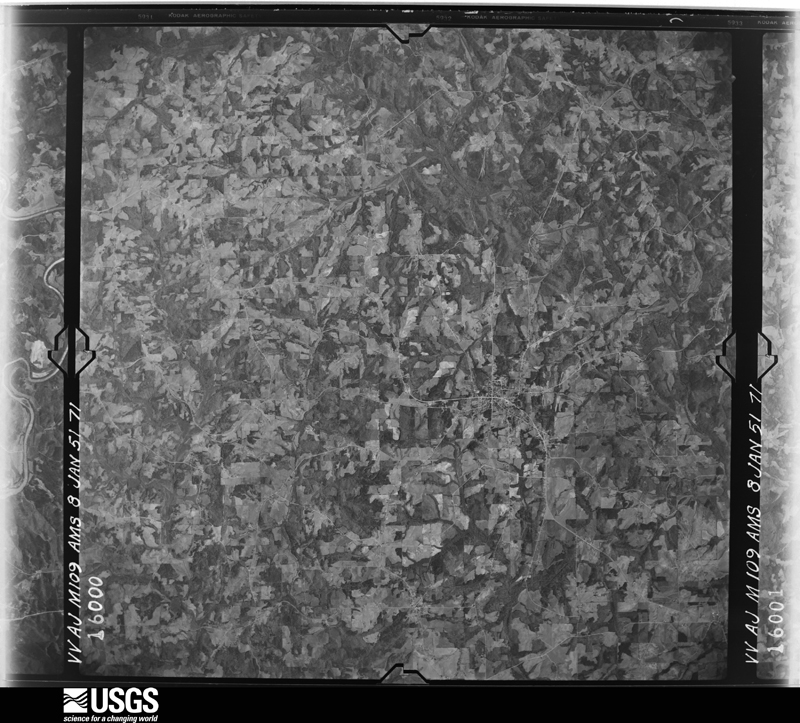
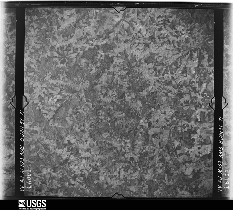
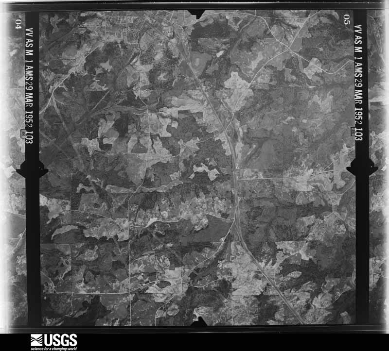
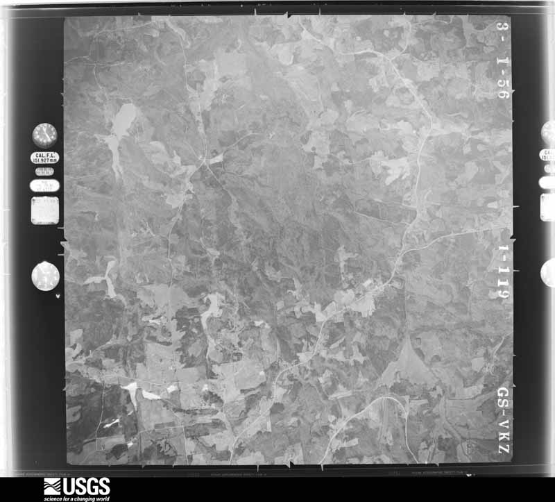
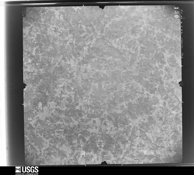
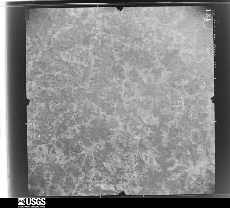
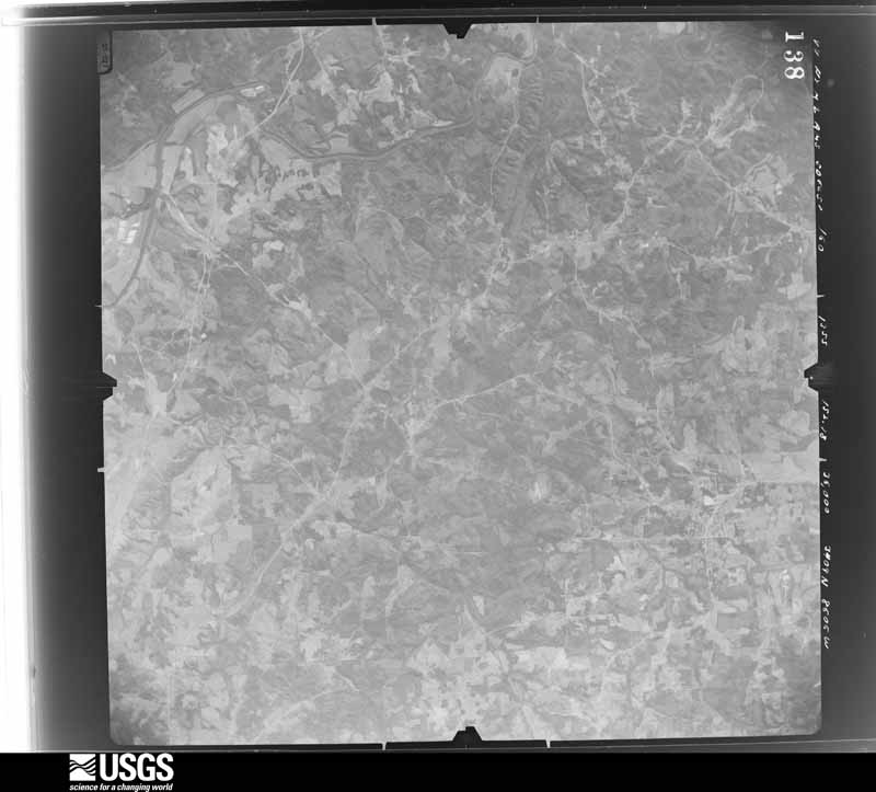
The county from the air

48 shown

Flown by the U.S. Geological Survey between 1937 and 1989, the Aerial Photo Single Frames collection is the definitive mid-century view of the land: fields, roads and rivers as the camera saw them. The Survey holds 5,402 frames inside the rectangle that bounds this county; the 48 frames below were taken over the county itself, chosen across the decades of flights (at most four a year from that rectangle), so one flight cannot crowd out the rest. The full set is free to browse and download at EarthExplorer under the dataset Aerial Photo Single Frames.

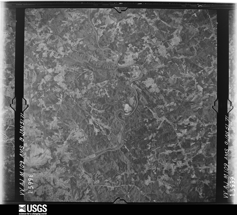
U.S. Geological Survey aerial photograph, 1951-01-08, scale 1:57000
1951-01-08, scale 1:57000. U.S. Geological Survey aerial photograph.
U.S. Geological Survey aerial photograph, 1951-01-08, scale 1:57000
1951-01-08, scale 1:57000. U.S. Geological Survey aerial photograph.
U.S. Geological Survey aerial photograph, 1951-01-08, scale 1:57000
1951-01-08, scale 1:57000. U.S. Geological Survey aerial photograph.
U.S. Geological Survey aerial photograph, 1951-01-08, scale 1:57000
1951-01-08, scale 1:57000. U.S. Geological Survey aerial photograph.
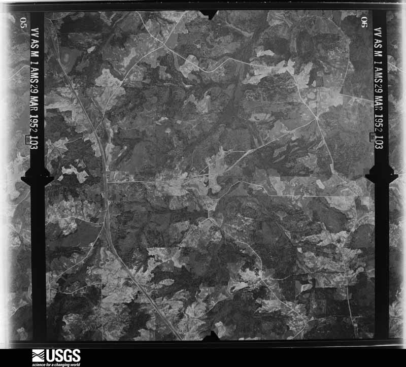
U.S. Geological Survey aerial photograph, 1952-03-29, scale 1:24000
1952-03-29, scale 1:24000. U.S. Geological Survey aerial photograph.
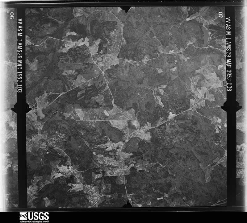
U.S. Geological Survey aerial photograph, 1952-03-29, scale 1:24000
1952-03-29, scale 1:24000. U.S. Geological Survey aerial photograph.
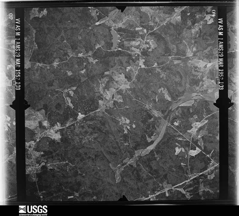
U.S. Geological Survey aerial photograph, 1952-03-29, scale 1:24000
1952-03-29, scale 1:24000. U.S. Geological Survey aerial photograph.
U.S. Geological Survey aerial photograph, 1952-03-29, scale 1:24000
1952-03-29, scale 1:24000. U.S. Geological Survey aerial photograph.
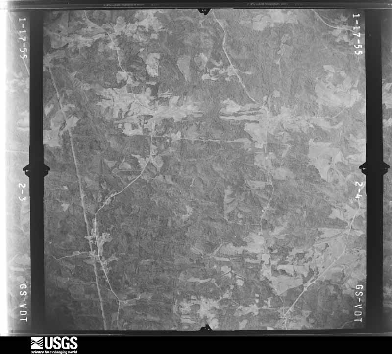
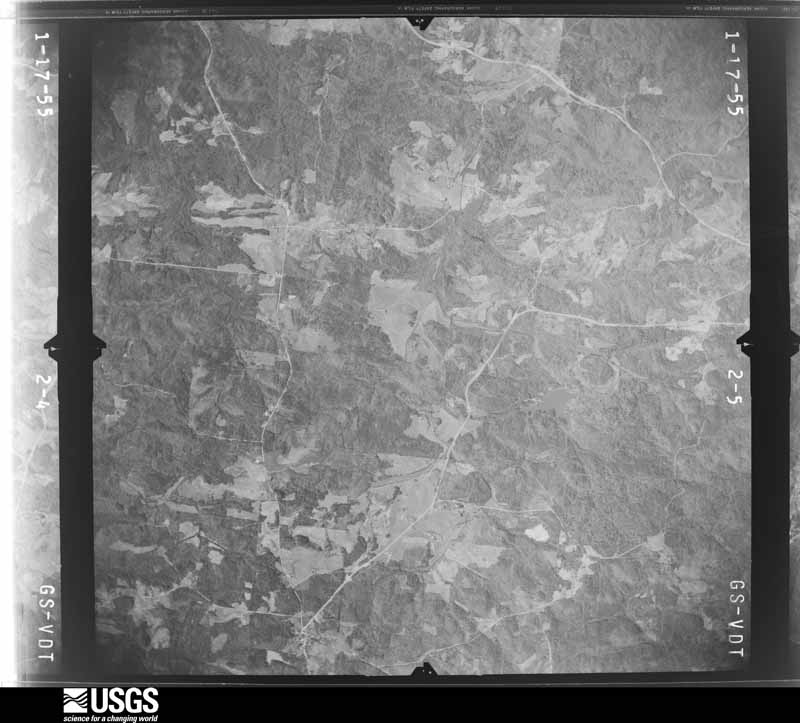
U.S. Geological Survey aerial photograph, 1955-01-17, scale 1:30000
1955-01-17, scale 1:30000. U.S. Geological Survey aerial photograph.
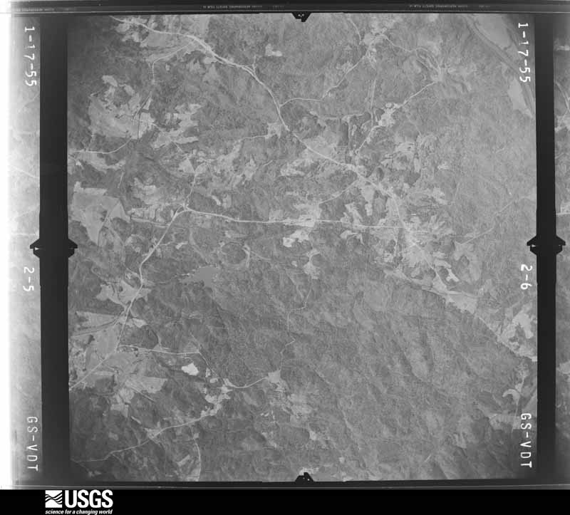
U.S. Geological Survey aerial photograph, 1955-01-17, scale 1:30000
1955-01-17, scale 1:30000. U.S. Geological Survey aerial photograph.
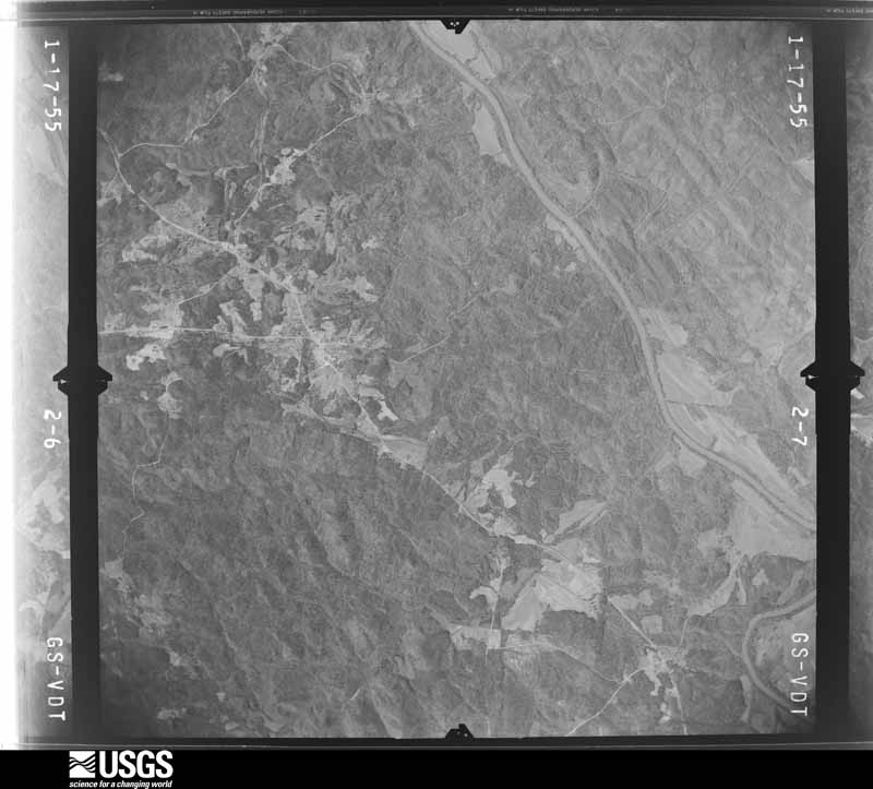
U.S. Geological Survey aerial photograph, 1955-01-17, scale 1:30000
1955-01-17, scale 1:30000. U.S. Geological Survey aerial photograph.
U.S. Geological Survey aerial photograph, 1955-01-17, scale 1:30000
1955-01-17, scale 1:30000. U.S. Geological Survey aerial photograph.
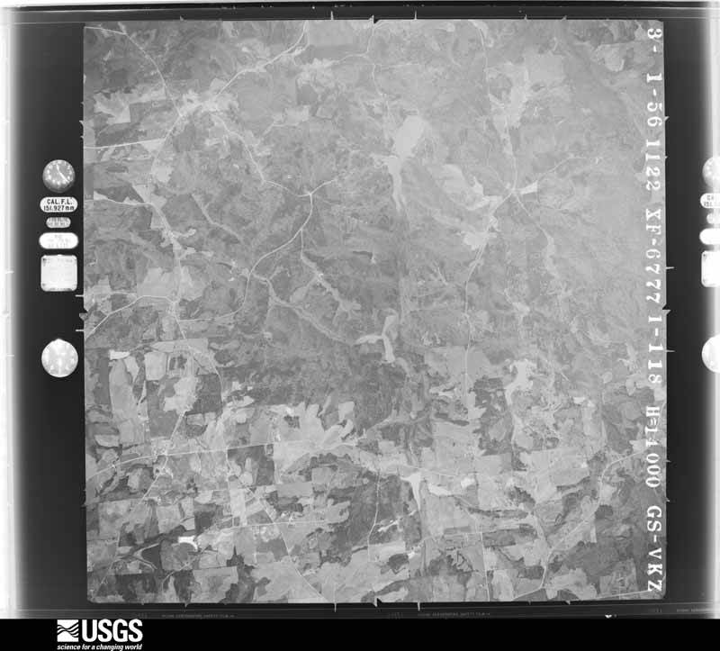
U.S. Geological Survey aerial photograph, 1956-03-01, scale 1:28000
1956-03-01, scale 1:28000. U.S. Geological Survey aerial photograph.
U.S. Geological Survey aerial photograph, 1956-03-01, scale 1:28000
1956-03-01, scale 1:28000. U.S. Geological Survey aerial photograph.
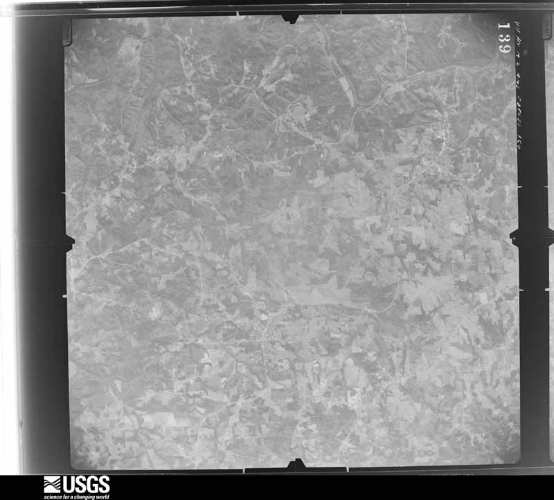
U.S. Geological Survey aerial photograph, 1957-12-05, scale 1:66000
1957-12-05, scale 1:66000. U.S. Geological Survey aerial photograph.
U.S. Geological Survey aerial photograph, 1957-12-05, scale 1:66000
1957-12-05, scale 1:66000. U.S. Geological Survey aerial photograph.
U.S. Geological Survey aerial photograph, 1957-12-05, scale 1:66000
1957-12-05, scale 1:66000. U.S. Geological Survey aerial photograph.
U.S. Geological Survey aerial photograph, 1957-12-05, scale 1:66000
1957-12-05, scale 1:66000. U.S. Geological Survey aerial photograph.
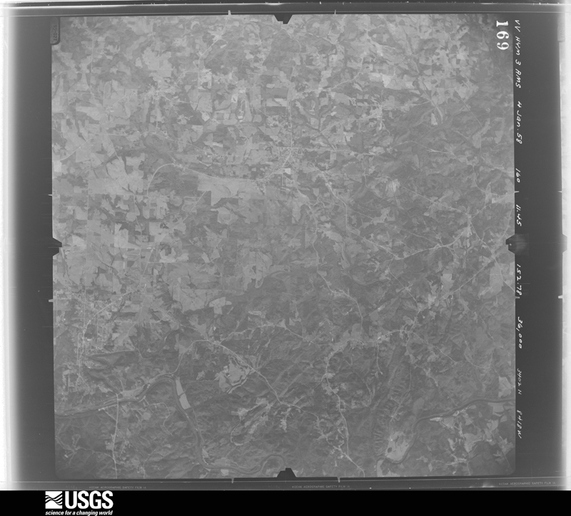
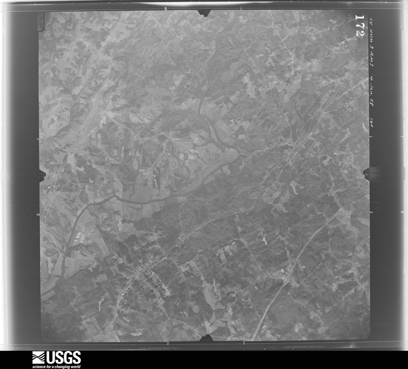
U.S. Geological Survey aerial photograph, 1958-01-04, scale 1:66000
1958-01-04, scale 1:66000. U.S. Geological Survey aerial photograph.
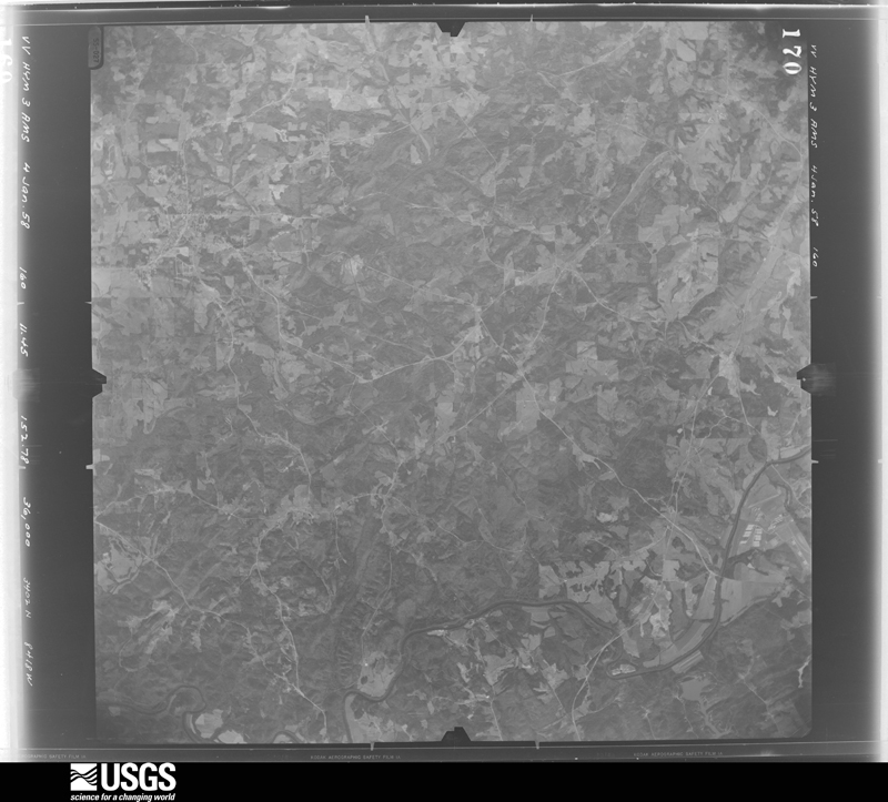
U.S. Geological Survey aerial photograph, 1958-01-04, scale 1:66000
1958-01-04, scale 1:66000. U.S. Geological Survey aerial photograph.
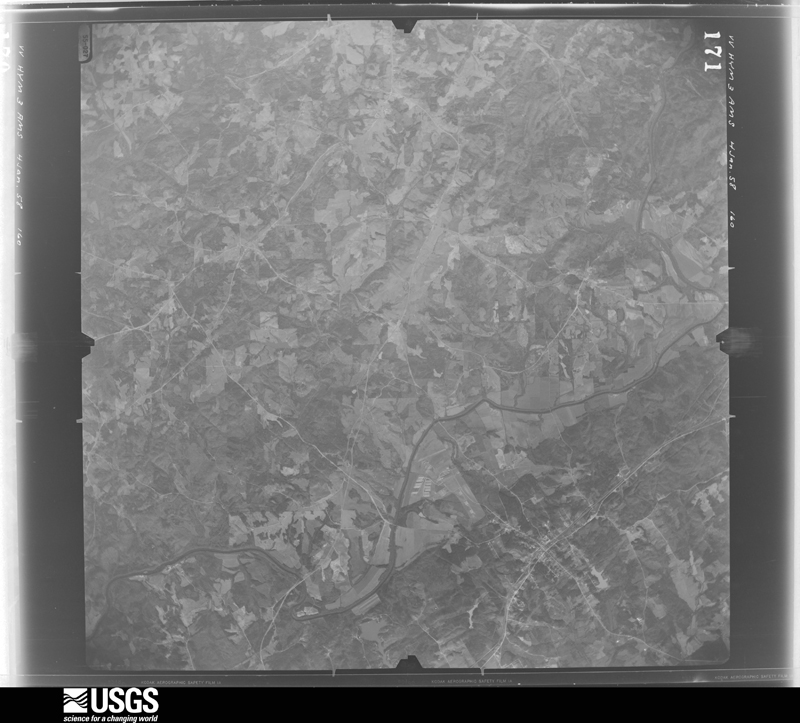
U.S. Geological Survey aerial photograph, 1958-01-04, scale 1:66000
1958-01-04, scale 1:66000. U.S. Geological Survey aerial photograph.
U.S. Geological Survey aerial photograph, 1958-01-04, scale 1:66000
1958-01-04, scale 1:66000. U.S. Geological Survey aerial photograph.
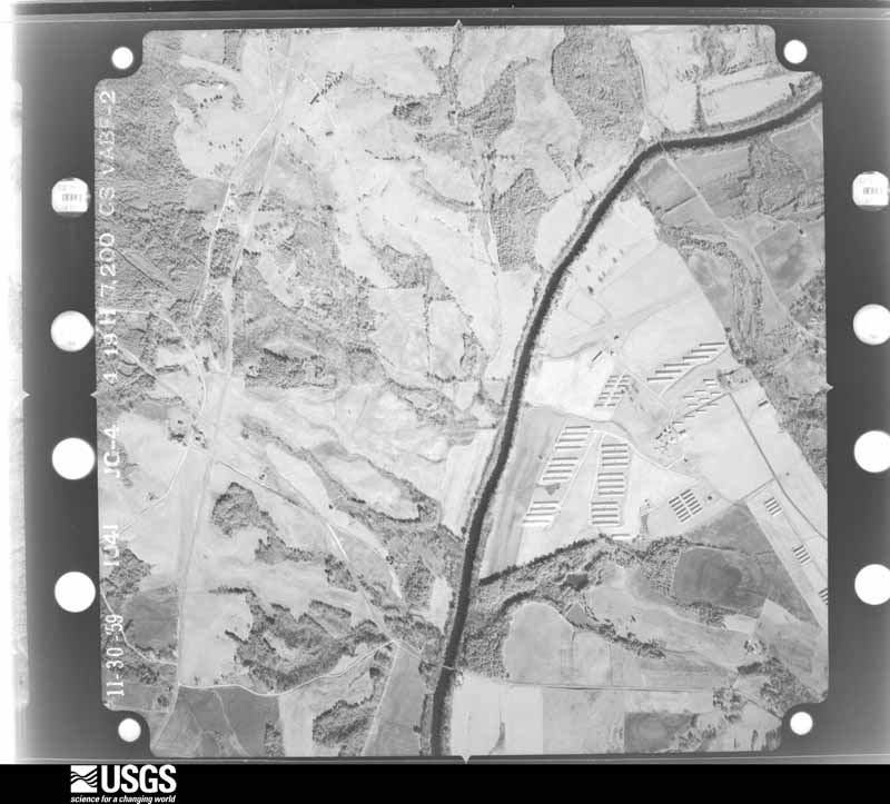
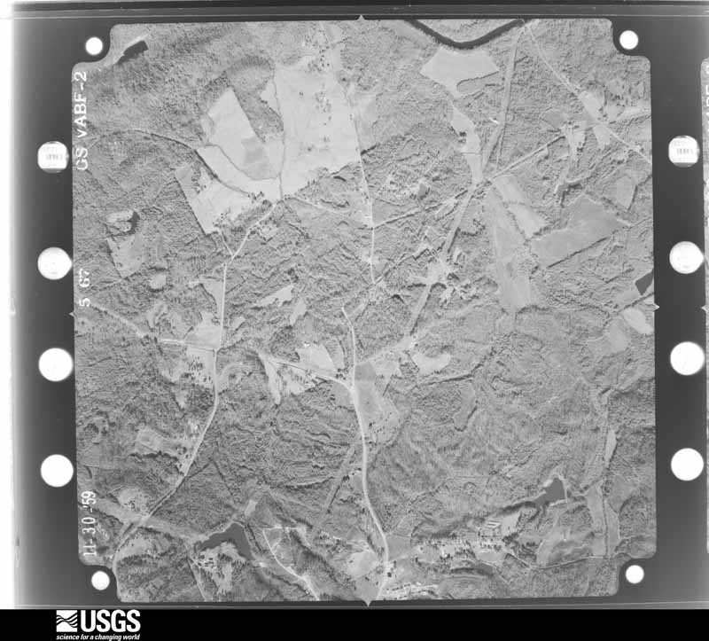
U.S. Geological Survey aerial photograph, 1959-11-30, scale 1:14400
1959-11-30, scale 1:14400. U.S. Geological Survey aerial photograph.
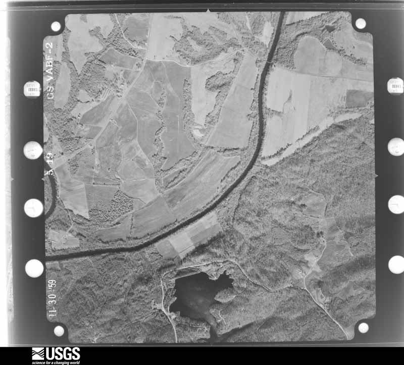
U.S. Geological Survey aerial photograph, 1959-11-30, scale 1:14400
1959-11-30, scale 1:14400. U.S. Geological Survey aerial photograph.
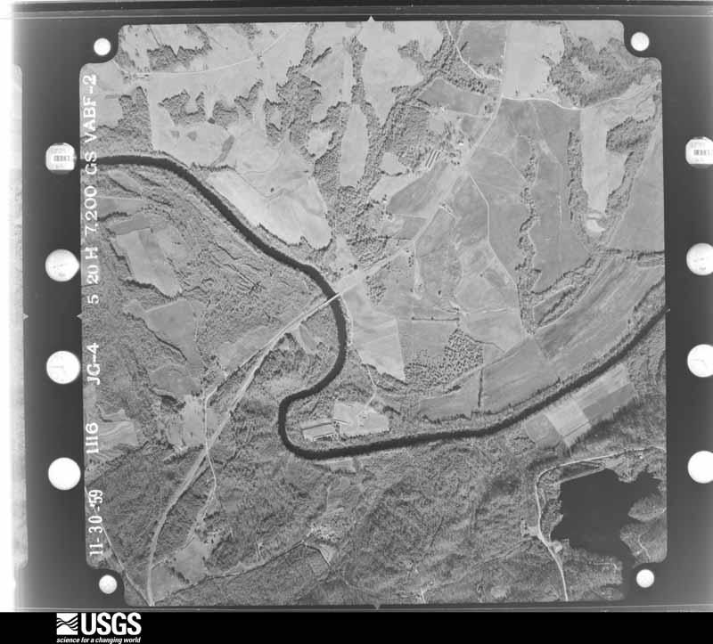
U.S. Geological Survey aerial photograph, 1959-11-30, scale 1:14400
1959-11-30, scale 1:14400. U.S. Geological Survey aerial photograph.
U.S. Geological Survey aerial photograph, 1959-11-30, scale 1:14400
1959-11-30, scale 1:14400. U.S. Geological Survey aerial photograph.
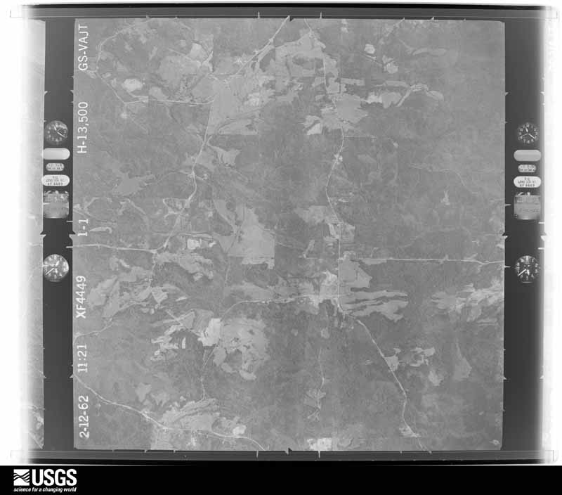
U.S. Geological Survey aerial photograph, 1962-02-12, scale 1:27000
1962-02-12, scale 1:27000. U.S. Geological Survey aerial photograph.
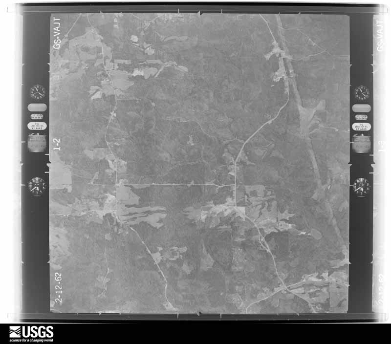
U.S. Geological Survey aerial photograph, 1962-02-12, scale 1:27000
1962-02-12, scale 1:27000. U.S. Geological Survey aerial photograph.
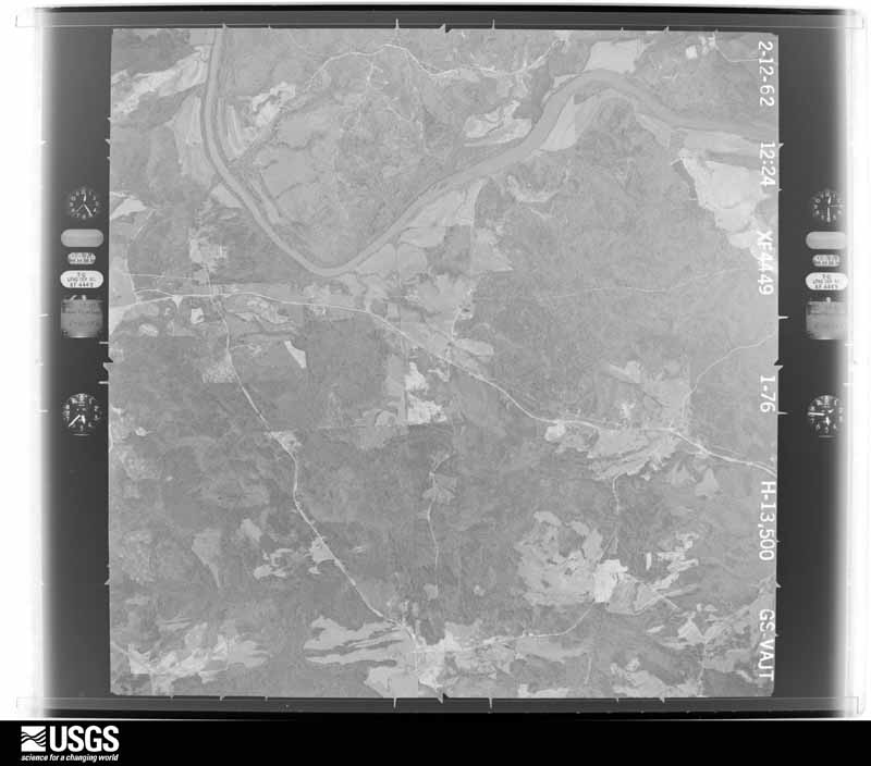
U.S. Geological Survey aerial photograph, 1962-02-12, scale 1:27000
1962-02-12, scale 1:27000. U.S. Geological Survey aerial photograph.
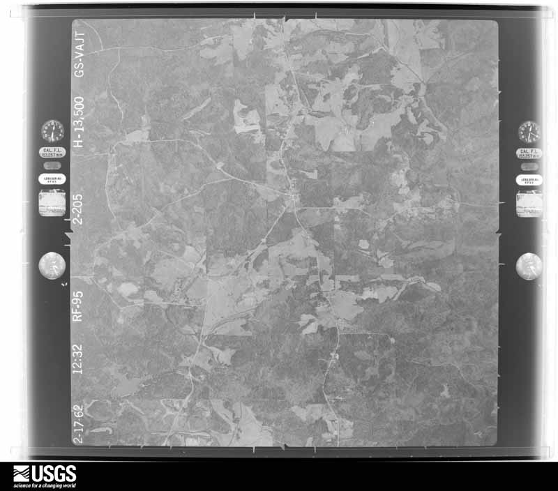
U.S. Geological Survey aerial photograph, 1962-02-17, scale 1:27000
1962-02-17, scale 1:27000. U.S. Geological Survey aerial photograph.
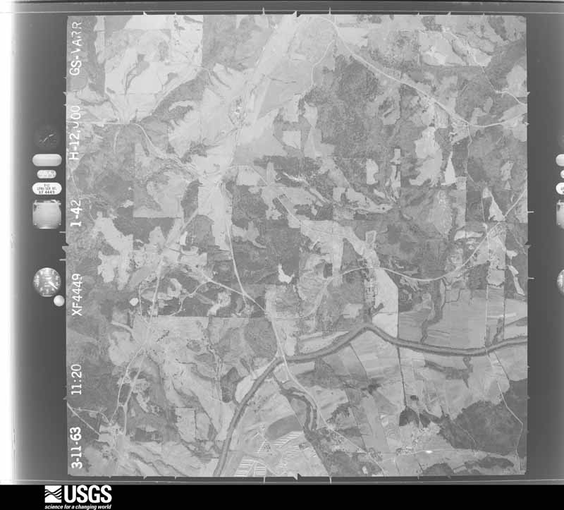
U.S. Geological Survey aerial photograph, 1963-03-11, scale 1:24000
1963-03-11, scale 1:24000. U.S. Geological Survey aerial photograph.
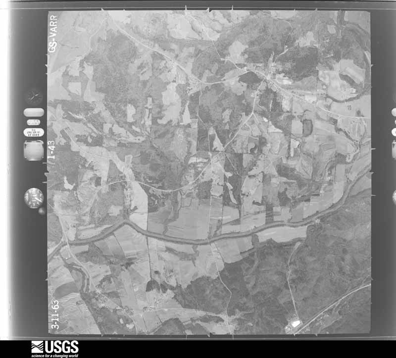
U.S. Geological Survey aerial photograph, 1963-03-11, scale 1:24000
1963-03-11, scale 1:24000. U.S. Geological Survey aerial photograph.
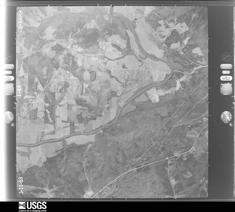
U.S. Geological Survey aerial photograph, 1963-03-11, scale 1:24000
1963-03-11, scale 1:24000. U.S. Geological Survey aerial photograph.
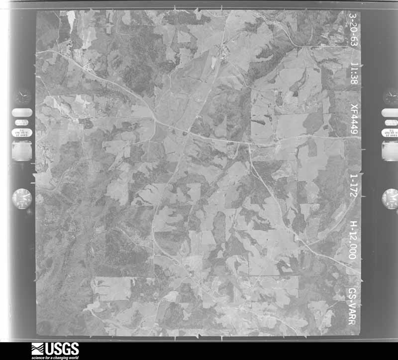
U.S. Geological Survey aerial photograph, 1963-03-20, scale 1:24000
1963-03-20, scale 1:24000. U.S. Geological Survey aerial photograph.
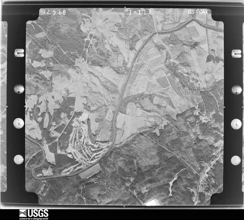
U.S. Geological Survey aerial photograph, 1968-12-05, scale 1:24800
1968-12-05, scale 1:24800. U.S. Geological Survey aerial photograph.
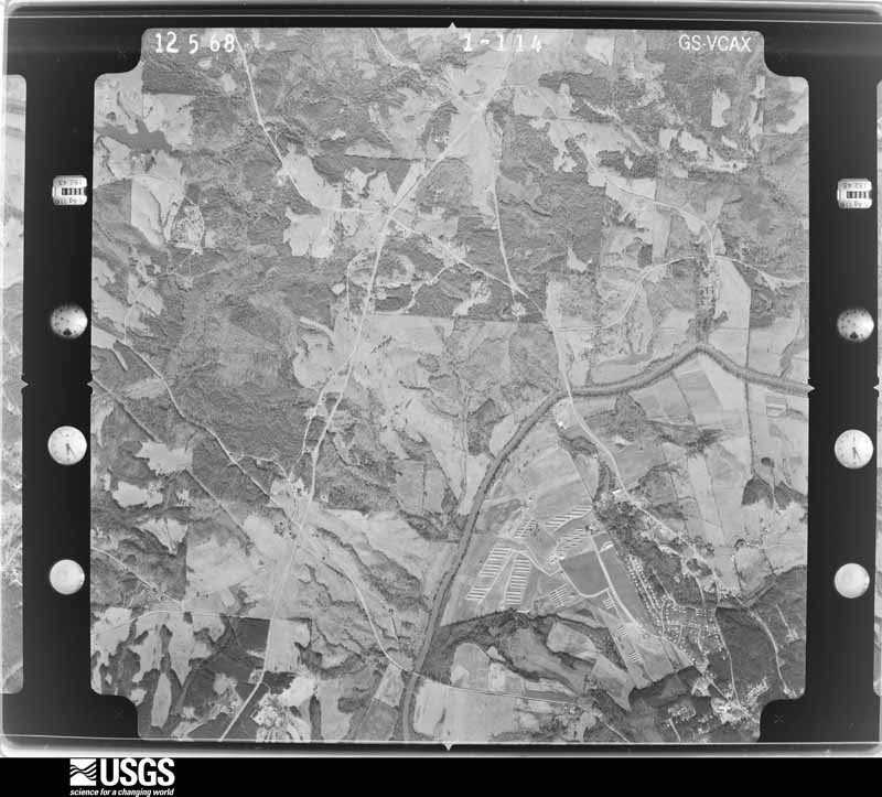
U.S. Geological Survey aerial photograph, 1968-12-05, scale 1:24800
1968-12-05, scale 1:24800. U.S. Geological Survey aerial photograph.
U.S. Geological Survey aerial photograph, 1968-12-05, scale 1:24800
1968-12-05, scale 1:24800. U.S. Geological Survey aerial photograph.
U.S. Geological Survey aerial photograph, 1968-12-05, scale 1:24800
1968-12-05, scale 1:24800. U.S. Geological Survey aerial photograph.
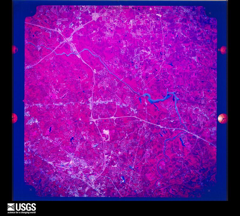
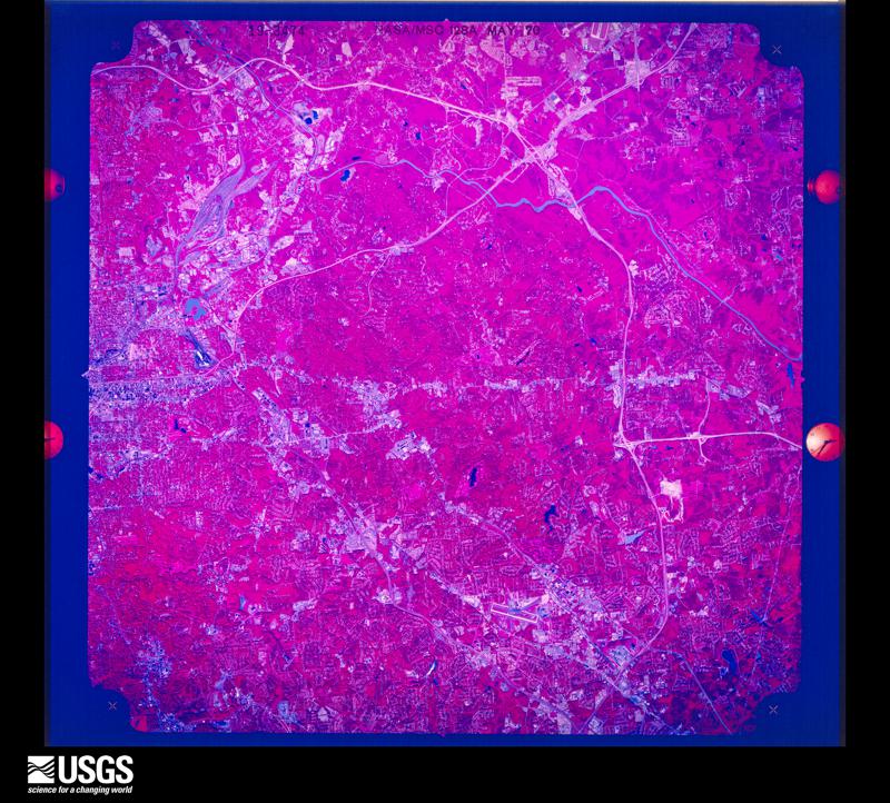
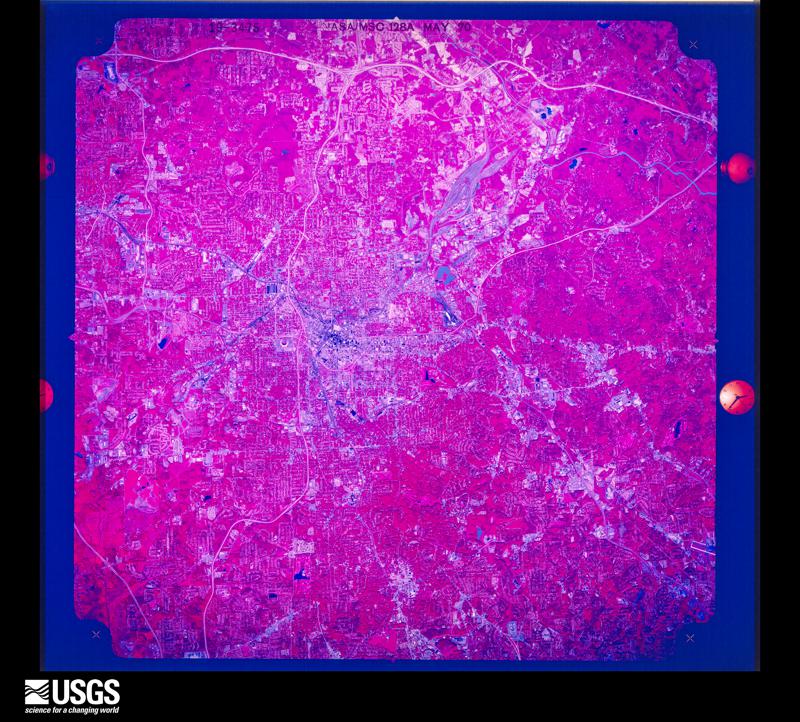
U.S. Geological Survey aerial photograph, 1970-05-05, scale 1:99167
1970-05-05, scale 1:99167. U.S. Geological Survey aerial photograph.
U.S. Geological Survey aerial photograph, 1970-05-05, scale 1:98566
1970-05-05, scale 1:98566. U.S. Geological Survey aerial photograph.
U.S. Geological Survey aerial photograph, 1970-05-05, scale 1:98566
1970-05-05, scale 1:98566. U.S. Geological Survey aerial photograph.
U.S. Geological Survey aerial photograph, 1970-05-05, scale 1:98566
1970-05-05, scale 1:98566. U.S. Geological Survey aerial photograph.
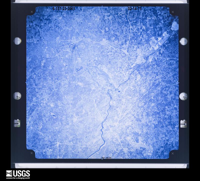
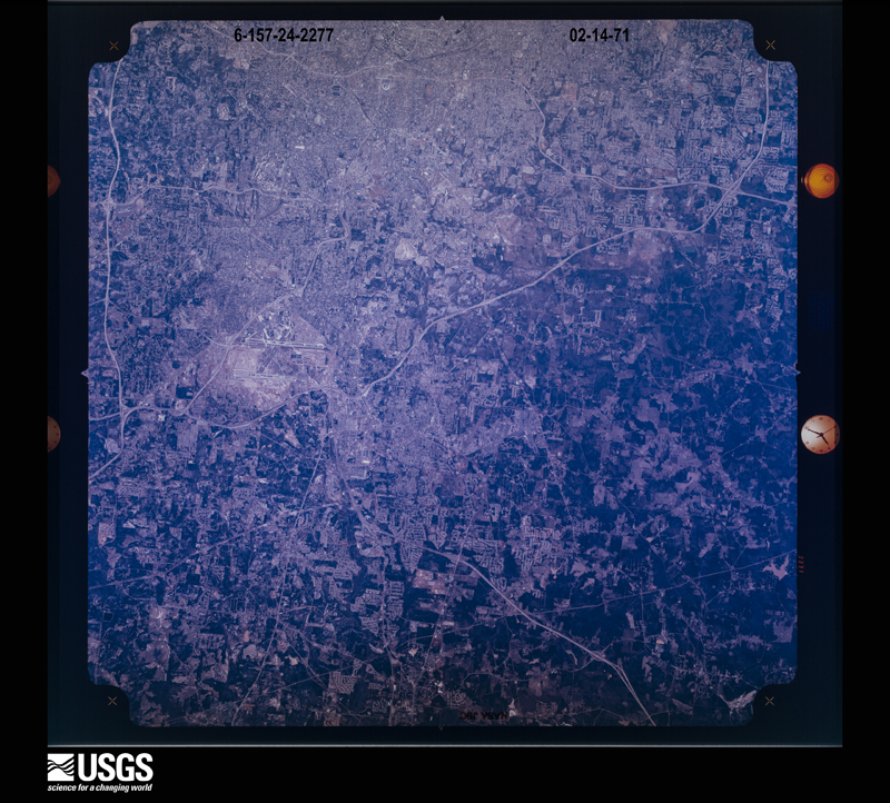
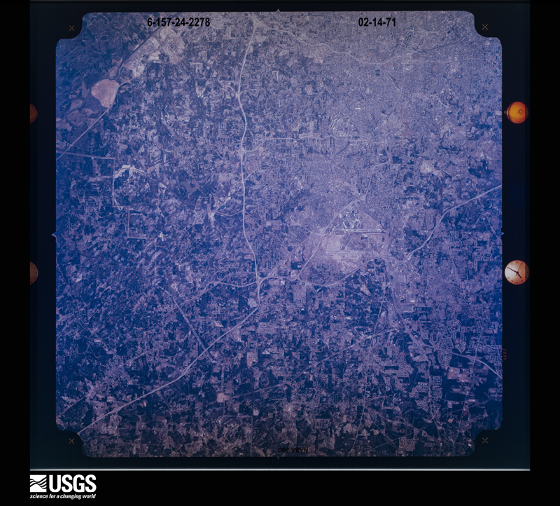
U.S. Geological Survey aerial photograph, 1971-02-14, scale 1:120084
1971-02-14, scale 1:120084. U.S. Geological Survey aerial photograph.
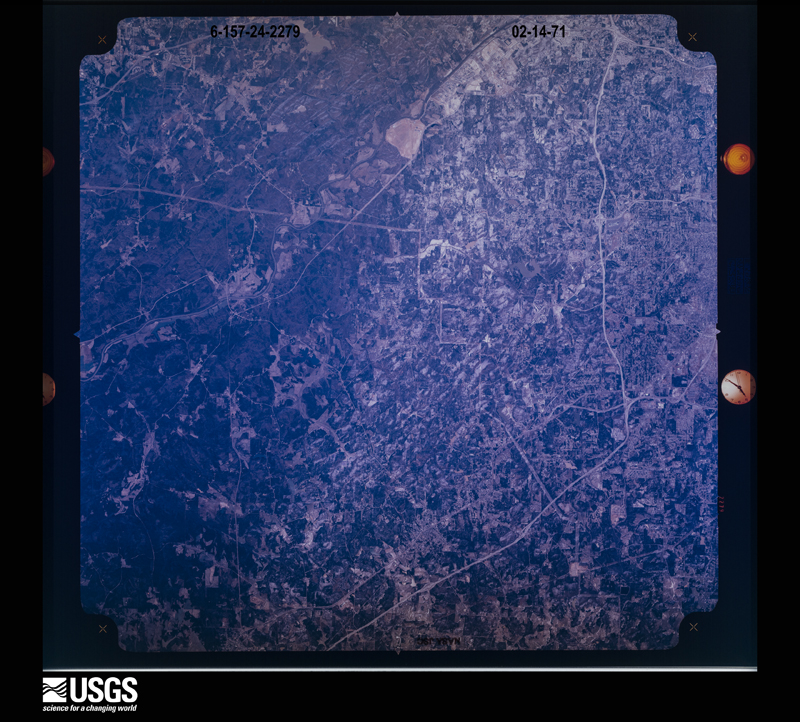
U.S. Geological Survey aerial photograph, 1971-02-14, scale 1:123283
1971-02-14, scale 1:123283. U.S. Geological Survey aerial photograph.
U.S. Geological Survey aerial photograph, 1971-02-14, scale 1:123283
1971-02-14, scale 1:123283. U.S. Geological Survey aerial photograph.
U.S. Geological Survey aerial photograph, 1971-02-14, scale 1:123283
1971-02-14, scale 1:123283. U.S. Geological Survey aerial photograph.
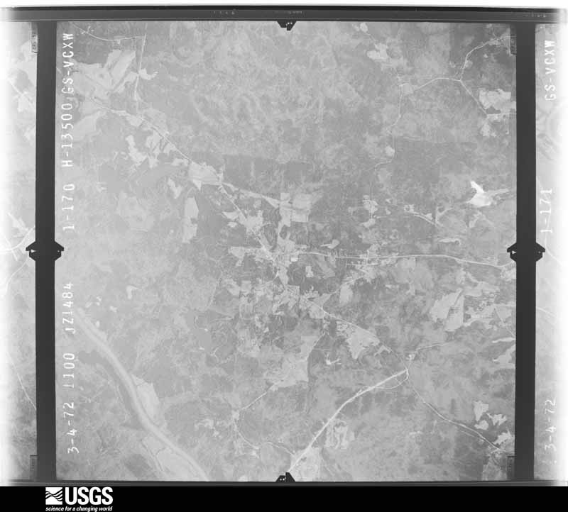
U.S. Geological Survey aerial photograph, 1972-03-04, scale 1:27000
1972-03-04, scale 1:27000. U.S. Geological Survey aerial photograph.
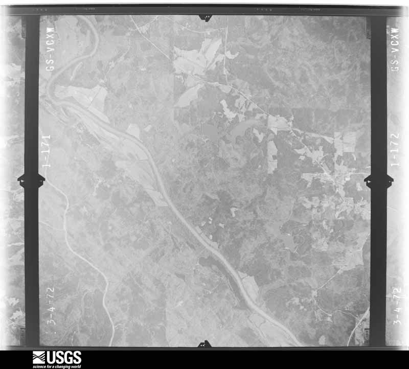
U.S. Geological Survey aerial photograph, 1972-03-04, scale 1:27000
1972-03-04, scale 1:27000. U.S. Geological Survey aerial photograph.

Weather records

45 stations, 34 gages

The thermometers that kept this county's weather, and the gages that measured the flow of its streams, as the federal records hold them. The extremes below are measured values from those records, not estimates.

The 1950 census, district by district

683 districts

Who lived here in 1950, one enumeration district at a time, as the Census Bureau described each district. Each row opens its official National Archives result, with Population Schedules and ED Maps available there.

  • 160-49Atlanta city - That part of Ward 1 (Tract F-32-part) Bounded by Georgia Railroad; Ward line, Pearl; Kirkwood Ave., Tye, Gaskill; Powell. This Enumeration District consists of the following blocks: 1W, 11, 12, 13, 14, 26
  • 160-50Atlanta city - That part of Ward 1 (Tract F-32-part) Bounded by Georgia Railroad; Powell; Fair; Berean, Pickett, Savannah, Tennelle, Carroll. This Enumeration District consists of the following blocks: 2, 9, 10, 32
  • 160-51Atlanta city - That part of Ward 1 (Tract F-32-part) Bounded by Georgia Railroad; Carroll, Boulevard; Fair; Oakland Ave. This Enumeration District consists of the following blocks: 3, 4, 5, 6, 7, 28, 29
  • 160-52Atlanta city - That part of Ward 1 (Tract F-32-part) Bounded by Tennelle; Savannah, Pickett, Berean; Fair; Boulevard, Carroll. This Enumeration District consists of the following blocks: 8, 27, 30, 31
  • 160-53Atlanta city - That part of Ward 1 (Tract F-32-part) Bounded by Kirkwood Ave.; Pearl; Fair; Powell, Gaskill, Tye. This Enumeration District consists of the following blocks: 24, 25, 33, 34, 35
  • 160-54Atlanta city - That part of Ward 1 (Tract F-34) Bounded by Georgia Railroad; Oakland Ave.; Fair; Moore. This Enumeration District consists of the following blocks: 1, 2, 3, 4, 5, 6, 7, 8, 9, 10, 11
  • 160-55AAtlanta city - That part of Ward 1 (Tract F-35-part), excluding Fulton County Jail in Block 26 Bounded by Georgia Railroad; Moore; Fair; Martin, Hunter, Washington. This Enumeration District consists of the following blocks: 24, 25, 26-part, 27, 28, 29
  • 160-55BAtlanta city - That part of Ward 1 (Tract F-35-part) Bounded by Hunter; Martin; Fair; Washington. This Enumeration District consists of the following blocks: 30, 31, 32, 33, 46, 47, 48, 49
  • 160-56Atlanta city - That part of Ward 1 (Tract F-35-part), comprising Fulton County Jail in Block 26
  • 160-57Atlanta city - That part of Ward 1 (Tract F-35-part), excluding Jefferson Hotel in Block 21 Bounded by Georgia Railroad; Washington; Mitchell; Whitehall. This Enumeration District consists of the following blocks: 14, 15, 16, 17, 21-part, 22, 23, 34, 35, 36
  • 160-58Atlanta city - That part of Ward 1 (Tract F-35-part), comprising Jefferson Hotel in Block 21
  • 160-59Atlanta city - That part of Ward 1 (Tract F-35-part) Bounded by Mitchell; Washington; Fair; Whitehall. This Enumeration District consists of the following blocks: 43, 44, 45, 50, 51, 52, 53, 62, 63, 64, 65, 66
  • 160-60Atlanta city - That part of Ward 1 (Tract F-45-part) Bounded by Fair; Capitol Ave.; Woodward Ave.; Washington. This Enumeration District consists of the following blocks: 1, 2
  • 160-61Atlanta city - That part of Ward 1 (Tract F-45-part) Bounded by Fair; Washington; Woodward Ave.; Pryor. This Enumeration District consists of the following blocks: 3, 4, 5
  • 160-62Atlanta city - That part of Ward 1 (Tract F-45-part) Bounded by Fair; Pryor; Rawson; Cooper. This Enumeration District consists of the following blocks: 6, 7, 10, 11, 12
  • 160-63Atlanta city - That part of Ward 1 (Tract F-45-part) Bounded by Whitehall; Cooper, Rawson, Formwalt; Eugenia; Windsor. This Enumeration District consists of the following blocks: 8, 9, 26, 27
  • 160-64Atlanta city - That part of Ward 1 (Tract F-45-part) Bounded by Rawson; Pryor; Ramona Ave.; Cooper, Eugenia, Formwalt. This Enumeration District consists of the following blocks: 25, 29, 30
  • 160-65Atlanta city - That part of Ward 1 (Tract F-45-part) Bounded by Woodward Ave.; Pulliam; Alice; Pryor. This Enumeration District consists of the following blocks: 13, 14, 23, 24
  • 160-66Atlanta city - That part of Ward 1 (Tract F-45-part) Bounded by Woodward Ave.; Washington, Rawson, Crew; Clarke; Pulliam. This Enumeration District consists of the following blocks: 15, 16, 21, 22
  • 160-67Atlanta city - That part of Ward 1 (Tract F-45-part) Bounded by Woodward Ave.; Capitol Ave.; Rawson; Washington. This Enumeration District consists of the following blocks: 17, 18, 19
  • 160-68Atlanta city - That part of Ward 1 (Tract F-45-part) Bounded by Rawson; Capitol Ave.; Richardson; Crew. This Enumeration District consists of the following blocks: 20, 35, 36
  • 160-69Atlanta city - That part of Ward 1 (Tract F-45-part) Bounded by Clarke; Crew; Richardson; Washington. This Enumeration District consists of the following blocks: 34, 37
  • 160-70Atlanta city - That part of Ward 1 (Tract F-45-part) Bounded by Clarke; Washington; Richardson; Pulliam. This Enumeration District consists of the following blocks: 33, 38
  • 160-71Atlanta city - That part of Ward 1 (Tract F-45-part) Bounded by Alice; Pulliam; Richardson; Pryor. This Enumeration District consists of the following blocks: 31, 32
  • 160-72Atlanta city - That part of Ward 1 (Tract F-45-part) Bounded by Eugenia; Cooper, Ramona Ave., Pryor; Richardson; Windsor. This Enumeration District consists of the following blocks: 28, 39, 40, 41
  • 160-73Atlanta city - That part of Ward 1 (Tract F-48-part) Bounded by Fair; Kelly; Clarke; Martin, Logan, Warner Ave., Woodward Ave., Connally. This Enumeration District consists of the following blocks: 1, 10, 11,12
  • 160-74Atlanta city - That part of Ward 1 (Tract F-48-part) Bounded by Fair; Connally, Woodward Ave., Warner Ave.; Logan; Martin. This Enumeration District consists of the following blocks: 2, 9
  • 160-75Atlanta city - That part of Ward 1 (Tract F-48-part) Bounded by Fair; Martin; Rawson; Fraser. This Enumeration District consists of the following blocks: 3, 6, 7, 8
  • 160-76Atlanta city - That part of Ward 1 (Tract F-48-part) Bounded by Fair; Fraser; Rawson; Capitol Ave. This Enumeration District consists of the following blocks: 4, 5
  • 160-77Atlanta city - That part of Ward 1 (Tract F-48-part) Bounded by Rawson; Fraser; Fulton; Capitol Ave. This Enumeration District consists of the following blocks: 15, 16
  • 160-78Atlanta city - That part of Ward 1 (Tract F-48-part) Bounded by Rawson; Martin; Fulton; Fraser. This Enumeration District consists of the following blocks: 14, 17, 18
  • 160-79Atlanta city - That part of Ward 1 (Tract F-48-part) Bounded by Clarke; Kelly; Glenwood Ave., Connally, Brandon; Martin. This Enumeration District consists of the following blocks: 13, 21
  • 160-80Atlanta city - That part of Ward 1 (Tract F-48-part) Bounded by Brandon; Connally; Fulton; Martin. This Enumeration District consists of the following blocks: 19, 20
  • 160-81Atlanta city - That part of Ward 1 (Tract F-49-part) Bounded by Fair; Cherokee Ave.; Bryan, Oakland Ave., Bryan; Grant. This Enumeration District consists of the following blocks: 1, 2, 9, 10
  • 160-82Atlanta city - That part of Ward 1 (Tract F-49-part) Bounded by Fair; Grant; Logan; Hill. This Enumeration District consists of the following blocks: 3, 4, 7, 8
  • 160-83Atlanta city - That part of Ward 1 (Tract F-49-part) Bounded by Fair; Hill, Logan, Broyles; Sidney, Hill, Glenwood Ave.; Kelly. This Enumeration District consists of the following blocks: 5, 6, 14, 15, 17
  • 160-84Atlanta city - That part of Ward 1 (Tract F-49-part) Bounded by Logan, Grant, Bryan, Oakland Ave., Bryan; Cherokee Ave.; Sidney; Broyles. This Enumeration District consists of the following blocks: 11, 12, 13, 18, 19, 20
  • 160-85Atlanta city - That part of Ward 1 (Tract F-49-part) Bounded by Glenwood Ave., Hill, Sidney; Cherokee Ave.; Milledge Ave.; Kelly. This Enumeration District consists of the following blocks: 16, 21, 22, 23, 24, 25, 26, 27, 28, 29, 30
  • 160-86Atlanta city - That part of Ward 1 (Tract F-49-part) Bounded by Milledge Ave.; Cherokee Ave.; Cherokee Pl.; Kelly. This Enumeration District consists of the following blocks: 31 32 33 34
  • 160-87Atlanta city - That part of Ward 1 (Tract F-49-part) Bounded by Cherokee Rd.; Cherokee Ave.; Georgia Ave.; Primrose. This Enumeration District consists of the following blocks: 35 36 37 38
  • 160-88Atlanta city - That part of Ward 1 (Tract F-54) pou led by Sidney; Park Ave., Berne, Boulevard; Atlanta Ave.; Cherokee Ave. This Enumeration District consists of the following block: 1
  • 160-89Atlanta city - That part of Ward 1 (Tract F-50-part) Bounded by Fair; Ward line; Old Flat Shoals Rd., Chastain, Narrow, Waldo, Woodward Ave.; Boulevard. This Enumeration District consists of the following blocks: 2W 3 4 5 6 7 8 17 20
  • 160-90Atlanta city - That part of Ward 1 (Tract F-50-part) Bounded by Fair; Boulevard; Bryan, Loomis, Woodward Ave.; Cherokee Ave. This Enumeration District consists of the following blocks: 9 10 11 12 14 15
  • 160-91Atlanta city - That part of Ward 1 (Tract F-50-part) Bounded by Woodward Ave., Loomis, Bryan; Boulevard; Glenwood Ave.; Cherokee Ave. This Enumeration District consists of the following blocks: 13 24 25 26
  • 160-92Atlanta city - That part of Ward 1 (Tract F-50-part) Bounded by Woodward Ave., Waldo, Narrow; Chastain; Old Flat Shoals Rd., Kalb, Cameron, Glenwood Ave.; Boulevard. This Enumeration District consists of the following blocks: 16 18 19 21 22 23 27 28
  • 160-93Atlanta city - That part of Ward 1 (Tract F-50-part) Bounded by Glenwood Ave., Cameron, Kalb, Old Flat Shoals Rd.; Ward line, Killian, Atlanta and West Point Railroad (Belt Line); Berne; Waldo. This Enumeration District consists of the following blocks: 29 30W 31 32 40 41 44 45 46W 47S 48 49 50
  • 160-94Atlanta city - That part of Ward 1 (Tract F - 50 - part) Bounded by Glenwood Ave., Boulevard, Glenwood Ave.; Waldo; Hansell, Boulevard, Hansell, Park Ave., Sidney; Cherokee Ave. This Enumeration District consists of the following blocks: 34, 35, 36, 37
  • 160-95Atlanta city - That part of Ward 1 (Tract F - 50 - part) Bounded by Hansell, Boulevard, Hansell; Waldo; Berne; Park Ave. This Enumeration District consists of the following blocks: 38, 39, 42, 43, 51
  • 160-96Atlanta city - That part of Ward 1 (Tract F - 53 - part) Bounded by Berne; Atlanta and West Point Railroad (Belt Line); Delmar Ave.; Boulevard. This Enumeration District consists of the following blocks: 34, 35, 36, 37, 38, 39, 40, 41, 42, 43, 44
  • 160-97Atlanta city - That part of Ward 1 (Tract F - 53 - part) Bounded by Georgia Ave.; Cherokee Ave.; Augusta Ave., Oakland Ave., Bass; Grant. This Enumeration District consists of the following blocks: 1, 7, 8, 9, 10, 11
  • 160-98Atlanta city - That part of Ward 1 (Tract F - 53 - part) Bounded by Georgia; Grant; Grant Park Pl.; Hill. This Enumeration District consists of the following blocks: 2, 6, 13, 17, 18
  • 160-99N/A
  • 160-100Atlanta city - That part of Ward 1 (Tract F - 53 - part) Bounded by Bass, Oakland, Augusta Ave.; Cherokee Ave.; Ormond; Grant. This Enumeration District consists of the following blocks: 12, 19, 20, 21, 22
  • 160-101Atlanta city - That part of Ward 1 (Tract F - 53 - part) Bounded by Atlanta Ave., Boulevard, Delmar Ave.; Atlanta and West Point Railroad (Belt Line); Boulevard, Robinson Ave.; Cherokee Ave. This Enumeration District consists of the following blocks: 30, 31, 32, 33, 45, 46, 47, 48, 49, 50, 51, 52, 59, 60
  • 160-102Atlanta city - That part of Ward 1 (Tract F - 53 - part) Bounded by Ormond; Cherokee Ave.; Atlanta Ave.; Primrose. This Enumeration District consists of the following blocks: 25, 26, 27, 28, 29
  • 160-103Atlanta city - That part of Ward 1 (Tract F - 53 - part) Bounded by Atlanta Ave.; Cherokee Ave., Robinson Ave., Boulevard; Atlanta and West Point Railroad (Belt Line); Hill. This Enumeration District consists of the following blocks: 53, 54, 55, 56, 57, 58
  • 160-104Atlanta city - That part of Ward 1 (Tract F - 47 - part) Bounded by Fulton, Connally, Glenwood Ave.; Kelly; Milledge Ave., Connally, Crumley; Martin. This Enumeration District consists of the following blocks: 1, 2, 9, 10
  • 160-105Atlanta city - That part of Ward 1 (Tract F - 47 - part) Bounded by Fulton; Martin; Richardson; Capitol Ave. This Enumeration District consists of the following blocks: 3, 4, 5
  • 160-106Atlanta city - That part of Ward 1 (Tract F - 47 - part) Bounded by Richardson; Martin; Crumley; Capitol Ave. This Enumeration District consists of the following blocks: 6, 7, 8
  • 160-107Atlanta city - That part of Ward 1 (Tract F - 47 - part) Bounded by Crumley; Fraser, Glenn, Reed; Georgia Ave.; Capitol Ave. This Enumeration District consists of the following blocks: 19, 20, 21, 22, 23
  • 160-108Atlanta city - That part of Ward 1 (Tract F - 47 - part) Bounded by Crumley; Martin; Georgia Ave.; Reed, Glenn, Fraser. This Enumeration District consists of the following blocks: 16, 17, 18, 24
  • 160-109Atlanta city - That part of Ward 1 (Tract F - 47 - part) Bounded by Crumley; Connally PI; Glenn; Martin. This Enumeration District consists of the following blocks: 13, 14, 15
  • 160-110Atlanta city - That part of Ward 1 (Tract F - 47 - part) Bounded by Crumley, Connally, Milledge Ave.; Kelly, Cherokee Pl., Primrose; Georgia Ave.; Martin, Glenn, Connally PI. This Enumeration District consists of the following blocks: 11, 12, 25, 26, 27, 28
  • 160-111Atlanta city - That part of Ward 1 (Tract F - 46 - part) Bounded by Richardson; Capitol Ave.; Glenn; Crew. This Enumeration District consists of the following blocks: 1, 16, 17
  • 160-112Atlanta city - That part of Ward 1 (Tract F - 46 - part) Bounded by Richardson; Crew; Glenn; Washington. This Enumeration District consists of the following blocks: 2, 15
  • 160-113Atlanta city - That part of Ward 1 (Tract F - 46 - part) Bounded by Richardson; Washington; Crumley; Pryor. This Enumeration District consists of the following blocks: 3, 4, 5
  • 160-114Atlanta city - That part of Ward 1 (Tract F - 46 - part) Bounded by Richardson; Pryor; Glenn; Windsor. This Enumeration District consists of the following blocks: 6, 7, 8, 9, 10, 11
  • 160-115Atlanta city - That part of Ward 1 (Tract F - 46 - part) Bounded by Crumley; Washington; Glenn; Pryor. This Enumeration District consists of the following blocks: 12, 13, 14
  • 160-116Atlanta city - That part of Ward 1 (Tract F - 46 - part) Bounded by Glenn; Washington; Georgia Ave.; Pryor. This Enumeration District consists of the following blocks: 21, 22, 23
  • 160-117Atlanta city - That part of Ward 1 (Tract F - 46 - part) Bounded by Glenn; Capitol Ave.; Georgia Ave.; Washington. This Enumeration District consists of the following blocks: 18, 19, 20
  • 160-118Atlanta city - That part of Ward 1 (Tract F - 46 - part) Bounded by Georgia Ave.; Capitol Ave.; Bass; Washington. This Enumeration District consists of the following blocks: 33, 34
  • 160-119Atlanta city - That part of Ward 1 (Tract F - 46 - part) Bounded by Georgia Ave.; Washington; Bass; Pryor. This Enumeration District consists of the following blocks: 30, 31, 32
  • 160-120Atlanta city - That part of Ward 1 (Tract F - 46 - part) Bounded by Glenn; Pryor; Bass; Windsor. This Enumeration District consists of the following blocks: 24, 25, 26, 27, 28, 29
  • 160-121Atlanta city - That part of Ward 1 (Tract F - 44 - part) Bounded by Whitehall; Windsor; Orange; Whitehall Ter. This Enumeration District consists of the following blocks 7, 8
  • 160-122Atlanta city - That part of Ward 1 (Tract F - 44 - part} Bounded by Whitehall, Whitehall Ter., Orange; Windsor; Rawson, Whitehall Ter., Richardson; McDaniel. This Enumeration District consists of the following blocks: 6, 9, 12, 13, 20
  • 160-123Atlanta city - That part of Ward 1 (Tract F - 44 - part) Bounded by Rawson; Windsor; Richardson; Whitehall Ter. This Enumeration District consists of the following blocks: 10, 11, 21, 22, 23, 24
  • 160-124Atlanta city - That part of Ward 1 (Tract F - 44 - part) Bounded by Richardson; Windsor; Glenn; McDaniel. This Enumeration District consists of the following blocks: 25, 26, 27, 28, 29, 30
  • 160-125Atlanta city - That part of Ward 1 (Tract F - 44 - part) Bounded by Glenn; Ira; Stephens, Southern Railway; McDaniel. This Enumeration District consists of the following blocks: 33, 34, 39, 40, 42, 43
  • 160-126Atlanta city - That part of Ward 1 (Tract F - 44 - part) Bounded by Glenn; Windsor, Windsor extended; Southern Railway; Stephens, Ira. This Enumeration District consists of the following blocks: 35, 36, 37, 38, 44, 45, 46
  • 160-127Atlanta city - That part of Ward 1 (Tract F - 57 - part) Bounded by Southern Railway; Mary extended, Mary; McDaniel. This Enumeration District consists of the following blocks: 11, 12, 13, 14, 26, 27, 28
  • 160-128Atlanta city - That part of Ward 1 (Tract F - 63 - part) Bounded by Mary extended; Southern Railway, Fletcher, West Ave.; City limits, Atlanta and West Point Railroad (Belt Line); Ward line, University Ave., Windsor. This Enumeration District consists of the following blocks: 1, 22, 23, 24, 25, 26, 45, 50, 51, 52, 64E
  • 160-129Atlanta city - That part of Ward 1 (Tract F - 63 - part) Bounded by Mary; Windsor; University Ave.; Smith, Roy, Ira. This Enumeration District consists of the following blocks: 2, 3, 20, 21, 27, 28, 43, 44, 54
  • 160-130Atlanta city - That part of Ward 1 (Tract F - 63 - part) Bounded by Mary; Ira, Roy, Smith; University Ave.; McDaniel. This Enumeration District consists of the following blocks: 4, 5, 18, 19, 29, 30, 41, 42, 55
  • 160-131Atlanta city - That part of Ward 1 (Tract F - 63 - part) Bounded by Fletcher; Southern Railway; Old city limits, City limits; West Ave. This Enumeration District consists of the following blocks: 46, 47, 48, 49, 65, 66, 67, 68, 69, 70, 71
  • 160-132Atlanta city - That part of Ward 1 (Tract F - 56 - part), excluding Our Lady of Perpetual Help Free Cancer Home (Servants of Relief for Incurable Cancer) in Block 17 Bounded by Bass; Capitol Ave.; Ormond; Washington. This Enumeration District consists of the following blocks: 1, 2, 17 - part, 18, 19, 20
  • 160-133Atlanta city - That part of Ward 1 (Tract F - 56 - part), comprising Our Lady of Perpetual Help Free Cancer Home (Servants of Relief for Incurable Cancer) in Block 17
  • 160-134Atlanta city - That part of Ward 1 (Tract F - 56 - part) Bounded by Bass; Washington; Ormond; Pulliam. This Enumeration District consists of the following blocks: 3, 16, 21
  • 160-135Atlanta city - That part of Ward 1 (Tract F - 56 - part) Bounded by Bass; Pulliam; Ormond; Pryor. This Enumeration District consists of the following blocks: 4, 5, 15
  • 160-136Atlanta city - That part of Ward 1 (Tract F - 56 - part) Bounded by Bass; Pryor; Hendrix Ave.; Cooper, Dodd Ave., Formwalt. This Enumeration District consists of the following blocks: 6, 7, 13
  • 160-137Atlanta city - That part of Ward 1 (Tract F - 56 - part) Bounded by Bass; Formwalt, Dodd Ave., Cooper; Hendrix Ave.; Windsor. This Enumeration District consists of the following blocks: 8, 9, 10, 11, 12
  • 160-138Atlanta city - That part of Ward 1 (Tract F - 56 - part) Bounded by Hendrix Ave.; Pryor; Southern Railway; Windsor extended, Windsor. This Enumeration District consists of the following blocks: 14, 23, 24, 25, 26, 34, 35, 36
  • 160-139Atlanta city - That part of Ward 1 (Tract F - 56 - part) Bounded by Ormond; Capitol Ave.; Atlanta Ave., Pulliam, Vassar; Pryor. This Enumeration District consists of the following blocks: 22, 27, 28, 29, 33
  • 160-140Atlanta city - That part of Ward 1 (Tract F - 56 - part) Bounded by Atlanta Ave.; Capitol Ave.; Haygood Ave., Crew, Hatcher Ave., Washington, Vassar; Pulliam. This Enumeration District consists of the following blocks: 30, 31, 32
  • 160-141Atlanta city - That part of Ward 1 (Tract F - 56 - part) Bounded by Vassar, Washington, Hatcher Ave., Crew, Haygood Ave.; Capitol Ave.; Southern Railway; Pryor. This Enumeration District consists of the following blocks: 37, 38, 39, 40, 41, 42, 43, 44
  • 160-142Atlanta city - That part of Ward 1 (Tract F - 55 - part) Bounded by Georgia Ave.; Primrose; Little; Martin. This Enumeration District consists of the following blocks: 1, 2, 3, 4, 14, 15
  • 160-143Atlanta city - That part of Ward 1 (Tract F - 55 - part) Bounded by Georgia Ave.; Martin; Little; Fraser, Bass, Reed. This Enumeration District consists of the following blocks: 5, 6, 11, 12, 13, 16, 17
  • 160-144Atlanta city - That part of Ward 1 (Tract F - 55 - part) Bounded by Georgia Ave.; Reed, Bass, Fraser; Little; Capitol Ave. This Enumeration District consists of the following blocks: 7, 8, 9, 10, 18, 19
  • 160-145Atlanta city - That part of Ward 1 (Tract F - 55 - part) Bounded by Little; Martin; Atlanta Ave.; Capitol Ave. This Enumeration District consists of the following blocks: 20, 21, 22, 30, 31
  • 160-146Atlanta city - That part of Ward 1 (Tract F - 55 - part) Bounded by Little; Primrose; Atlanta Ave.; Martin. This Enumeration District consists of the following blocks: 23, 24, 25, 26, 27, 28, 29
  • 160-147Atlanta city - That part of Ward 1 (Tract F - 55 - part) Bounded by Atlanta Ave.; Hill; Farrington Ave.; Martin, Greenfield. This Enumeration District consists of the following blocks: 35, 36, 44, 45
  • 160-148Atlanta city - That part of Ward 1 (Tract F - 55 - part) Bounded by Atlanta Ave.; Greenfield, Martin; Haygood Ave., Fern, Boynton Ave.; Capitol Ave. This Enumeration District consists of the following blocks: 32, 33, 34, 37, 38, 39, 40, 41, 42
  • 160-149Atlanta city - That part of Ward 1 (Tract F - 55 - part) Bounded by Boynton Ave., Fern, Haygood Ave., Martin, Farrington Ave.; Hill; Milton Ave., Martin, Calvert; Capitol Ave. This Enumeration District consists of the following blocks: 43, 46, 47, 48
  • 160-150Atlanta city - That part of Ward 1 (Tract F - 55 - part) Bounded by Calvert, Martin, Milton Ave.; Milton Ave.; McDonough Blvd., Buchanan Lane, Jonesboro Rd., Thayer; Lansing, Barrows, McDonough Blvd. This Enumeration District consists of the following blocks: 49, 50, 51, 52, 56, 57, 58, 59, 63
  • 160-151Atlanta city - That part of Ward 1 (Tract F - 55 - part) Bounded by McDonough Blvd.; Barrows, Lansing; Bisbee Ave.; Capitol Ave. This Enumeration District consists of the following blocks: 53, 54, 55
  • 160-152Atlanta city - That part of Ward 1 (Tract F - 55 - part) Bounded by Bisbee Ave.; Lansing; City limits; Capitol Ave., Thirkfield Ave. extended, Clark University property line, Thayer extended, Capitol Ave. This Enumeration District consists of the following blocks: 60, 61, 62, 69, 70, 71, 72, 73, 74, 75, 80, 81, 82
  • 160-153Atlanta city - That part of Ward 1 (Tract F - 55 - part) Bounded by Thayer, Jonesboro Rd., Buchanan Lane, McDonough Blvd.; Blashfield; City limits; Lansing. This Enumeration District consists of the following blocks: 64, 65, 66, 67, 68, 76, 77, 78, 79
  • 160-154Atlanta city - That part of Ward 1 (Tract F - 64 - part) Bounded by Atlanta and West Point Railroad (Belt Line); Ward line, City limits; City limits; Gault, Second, Boulevard. This Enumeration District consists of the following blocks: 1, 2, 3, 4, 9, 15, 16, 17, 18, 19, 20, 21
  • 160-155Atlanta city - That part of Ward 1 (Tract F - 64 - part) Bounded by Atlanta and West Point Railroad (Belt Line); Boulevard, Second, Gault; City limits; Blashfield, McDonough Blvd., Hill. This Enumeration District consists of the following blocks: 5, 6, 7, 8, 10, 11, 12, 13, 14, 22, 23, 24
  • 160-156Atlanta city - That part of Ward 2 (Tract F - 31 - part) Bounded by Georgia Railroad; County line; Boulevard Dr.; Walthall, Hardee. This Enumeration District consists of the following blocks: 1, 2, 3, 4, 5, 6
  • 160-157Atlanta city - That part of Ward 2 (Tract F - 31 - part) Bounded by Georgia Railroad, Hardee, Walthall, Boulevard Dr.; County line; Wylie; Atlanta and West Point Railroad (Belt Line). This Enumeration District consists of the following blocks: 7, 8, 9, 10, 11
  • 160-158Atlanta city - That part of Ward 2 (Tract F - 31 - part) Bounded by Wylie; County line; Kirkwood Ave.; Atlanta and West Point Railroad (Belt Line). This Enumeration District consists of the following blocks: 12, 13, 14, 15, 16, 17, 18, 19, 20, 21, 22
  • 160-159Atlanta city - That part of Ward 2 (Tract F - 31 - part) Bounded by Kirkwood Ave.; County line; Fair; Atlanta and West Point Railroad (Belt Line). This Enumeration District consists of the following blocks: 23, 24, 25, 26, 27, 28, 29, 30, 31, 32, 33, 34, 35, 36, 37, 38, 39
  • 160-160Atlanta city - That part of Ward 2 (Tract F - 32 - part) Bounded by Georgia Railroad; Atlanta and West Point Railroad (Belt Line); Kirkwood Ave.; Pearl, Ward line. This Enumeration District consists of the following blocks: 1E, 15, 16, 17, 18, 19, 20
  • 160-161Atlanta city - That part of Ward 2 (Tract F - 32 - part) Bounded by Kirkwood Ave.; Atlanta and West Point Railroad (Belt Line); Fair; Pearl. This Enumeration District consists of the following blocks: 21, 22, 23, 36
  • 160-162Atlanta city - That part of Ward 2 (Tract F - 50 - part) Bounded by Fair; Atlanta and West Point Railroad (Belt Line); Ward line, Killian; Ward line. This Enumeration District consists of the following blocks: 1, 2E, 30E, 46E, 47N
  • 160-163Atlanta city - That part of Ward 2 (Tract F - 51 - part) Bounded by Fair; County line; Faith Ave., Stovall, Glenwood Ave.; Atlanta and West Point Railroad (Belt Line). This Enumeration District consists of the following blocks: 1, 2, 3, 4
  • 160-164Atlanta city - That part of Ward 2 (Tract F - 51 - part) Bounded by Faith Ave.; County line; Glenwood Ave.; Stovall. This Enumeration District consists of the following blocks: 5, 6, 7, 8, 9
  • 160-165Atlanta city - That part of Ward 2 (Tract F - 52 - part) Bounded by Glenwood Ave.; County line; Berne; Atlanta and West Point Railroad (Belt Line). This Enumeration District consists of the following blocks: 1, 2, 3, 4, 5, 6, 7
  • 160-166Atlanta city - That part of Ward 2 (Tract F - 52 - part) Bounded by Berne; County line; Ormewood Ave., Woodland Ave., Ormewood Ave.; Atlanta and West Point Railroad (Belt Line). This Enumeration District consists of the following blocks: 8, 9, 10, 11, 12, 13
  • 160-167Atlanta city - That part of Ward 2 (Tract F - 52 - part) Bounded by Ormewood Ave.; Woodland Ave., Emerson Ave., Eastwood Ave.; Delaware Ave., Palatine Ave., Delmar Ave.; Atlanta and West Point Railroad (Belt Line). This Enumeration District consists of the following blocks: 14, 15, 16, 20, 21, 22
  • 160-168Atlanta city - That part of Ward 2 (Tract F - 52 - part) Bounded by Ormewood Ave.; County line; Eden; Eastwood Ave., Emerson Ave., Woodland Ave. This Enumeration District consists of the following blocks: 17, 18, 19, 26, 27, 28
  • 160-169Atlanta city - That part of Ward 2 (Tract F - 52 - part), excluding Confederate Soldiers Home in block 43 Bounded by Delmar Ave., Palatine Ave., Delaware Ave., Eastwood Ave., Eden; Woodland Ave.; City limits; Ward line, Atlanta and West Point Railroad (Belt Line). This Enumeration District consists of the following blocks: 23, 24, 25, 31, 32, 33, 34, 35, 43 - part, 44, 45
  • 160-170Atlanta city - That part of Ward 2 (Tract F - 52 - part), comprising Confederate Soldiers Home in Block 43
  • 160-171Atlanta city - That part of Ward 2 (Tract F - 52 - part) Bounded by Eden; County line; City limits; Woodland Ave. This Enumeration District consists of the following blocks: 29, 30, 36, 37, 38, 39, 40, 41, 42
  • 160-172Atlanta city - That part of Ward 3 (Tract F - 6 - part) Bounded by City limits; Hemphill Ave., 14th, Grove; 8th; City limits. This Enumeration District consists of the following blocks: 13, 14, 15, 41, 42, 43, 44, 45, 46, 47
  • 160-173Atlanta city - That part of Ward 3 (Tract F - 6- part) Bounded by 14th; Hemphill Ave.; 10th; Grove. This Enumeration District consists of the following blocks: 12, 16, 17
  • 160-174Atlanta city - That part of Ward 3 (Tract F - 6 - part) Bounded by 10th; Hemphill Ave.; 8th; Grove. This Enumeration District consists of the following blocks: 37, 38, 39, 40, 48, 49, 50
  • 160-175Atlanta city - That part of Ward 3 (Tract F - 7- part), excluding Fulton County Convict Camp in Block 24 Bounded by City limits; Ashby; Jefferson; Rice, Niles Ave., Herndon. This Enumeration District consists of the following blocks: 1, 13, 14, 15, 16, 17, 18, 19, 20, 24 - part, 25
  • 160-176Atlanta city - That part of Ward 3 (Tract F - 7 - part), comprising Fulton County Convict Camp in Block 24
  • 160-177Atlanta city - That part of Ward 3 (Tract F - 7 - part) Bounded by Church; Herndon; Niles Ave.; Rice. This Enumeration District consists of the following blocks: 10, 11, 12
  • 160-178Atlanta city - That part of Ward 3 (Tract F - 7 - part) Bounded by City limits; Herndon, Church, Rice; Jefferson; City limits. This Enumeration District consists of the following blocks: 2, 3, 4, 5, 6, 7, 8, 9, 21, 22, 23, 26
  • 160-179Atlanta city - That part of Ward 3 (Tract F - 7 - part) Bounded by Jefferson; Ashby; Pelham, Finley, Bankhead Ave.; City limits. This Enumeration District consists of the following blocks: 27, 28, 29, 30, 31, 32, 33, 34, 35, 36, 37, 38, 39, 40, 41
  • 160-180Atlanta city - That part of Ward 3 (Tract F - 8 - part) Bounded by City limits; Marietta, Alamo Ave., Circle; Echo, Oliver, Jefferson; Ashby. This Enumeration District consists of the following blocks: 2, 3, 4, 5, 6, 7, 8, 9
  • 160-181Atlanta city - That part of Ward 3 (Tract F - 8 - part) Bounded by Jefferson, Oliver, Echo; Chestnut; Wheeler, Lindsay, Bankhead Ave.; Ashby. This Enumeration District consists of the following blocks: 11, 12, 18, 19, 20, 21, 22, 23, 24, 25, 33
  • 160-182Atlanta city - That part of Ward 3 (Tract F - 8 - part) Bounded by Marietta; Southern Railroad; Bankhead Ave.; Chestnut, Echo, Circle, Alamo Ave. This Enumeration District consists of the following blocks: 1, 10, 13, 14, 15, 16, 17, 26, 27, 28
  • 160-183Atlanta city - That part of Ward 3 (Tract F - 8 - part) Bounded by Bankhead Ave.; Travis; North Ave.; Chestnut. This Enumeration District consists of the following blocks: 39, 40, 41, 42, 43, 44, 52, 53, 54, 55, 56
  • 160-184Atlanta city - That part of Ward 3 (Tract F - 8 - part) Bounded by Bankhead Ave., Lindsay, Wheeler; Chestnut; North Ave.; Ashby. This Enumeration District consists of the following blocks: 29, 30, 31, 32, 34, 35, 36, 37, 38, 45, 46, 47, 48, 49, 50, 51
  • 160-185Atlanta city - That part of Ward 3 (Tract F - 8 - part) Bounded by North Ave.; Elm; Jett; Paynes Ave. This Enumeration District consists of the following blocks: 57, 58, 59, 60, 61, 62, 63, 64, 65, 66, 67, 68, 69
  • 160-186Atlanta city - That part of Ward 3 (Tract F - 9 - part) Bounded by 8th; Hemphill Ave., 6th, Ponders; 3rd; McMillan. This Enumeration District consists of the following blocks: 1, 2, 3, 17, 24
  • 160-187Atlanta city - That part of Ward 3 (Tract F - 9 - part) Bounded by 8th; McMillan; Warren Ave., Curran, Marietta; Hampton. This Enumeration District consists of the following blocks: 4, 5, 6, 14, 15, 16
  • 160-188Atlanta city - That part of Ward 3 (Tract F - 9 - part) Bounded by City limits, 8th; Hampton; Jefferson; Southern Railroad. This Enumeration District consists of the following blocks: 7, 8, 9, 10, 11, 12
  • 160-189Atlanta city - That part of Ward 3 (Tract F - 9 - part) Bounded by Jefferson; Marietta, Curran, Warren Ave., McMillan, 3rd.; Ponders; Southern Railroad. This Enumeration District consists of the following blocks: 13, 25, 26, 27, 28, 29, 30, 38, 39, 43
  • 160-190Atlanta city - That part of Ward 3 (Tract F - 9 - part) Bounded by 6th; Hemphill Ave., State; 4th; Ponders. This Enumeration District consists of the following blocks: 18, 19, 20, 21, 22, 23
  • 160-191Atlanta city - That part of Ward 3 (Tract F - 9 - part) Bounded by 4th; State; North Ave., Southern Railroad; Ponders. This Enumeration District consists of the following blocks: 31, 32, 33, 34, 35, 36, 37, 40, 42, 47
  • 160-192Atlanta city - That part of Ward 3 (Tract F - 22 - part) Bounded by Bankhead Ave.; Southern Railroad; North Ave., Lambert, Meldrum; Elm, North Ave., Travis. This Enumeration District consists of the following blocks: 1, 2, 3, 4, 5
  • 160-193Atlanta city - That part of Ward 3 (Tract F - 22 - part) Bounded by Meldrum; Lambert; Jett, Vine, John; Elm. This Enumeration District consists of the following blocks: 12, 13, 14, 15, 16, 17, 18
  • 160-194Atlanta city - That part of Ward 3 (Tract F - 22 - part) Bounded by North Ave.; Gray; Kennedy; Lambert. This Enumeration District consists of the following blocks: 6, 7, 8, 9
  • 160-195Atlanta city - That part of Ward 3 (Tract F - 22 - part) Bounded by North Ave.; Southern Railroad; Simpson; Davis, Western Ave., Gray. This Enumeration District consists of the following blocks: 10, 20, 21, 22, 23, 24, 25, 26, 37, 38, 39
  • 160-196Atlanta city - That part of Ward 3 (Tract F - 22 - part) Bounded by Kennedy; Gray; John; Lambert. This Enumeration District consists of the following block: 11
  • 160-197Atlanta city - That part of Ward 3 (Tract F - 22 - part) Bounded by Jett, Lambert, John; Gray; Western Ave.; Vine. This Enumeration District consists of the following block: 19
  • 160-198Atlanta city - That part of Ward 3 (Tract F - 22 - part) Bounded by John, Vine, Western Ave.; Davis; Simpson; Elm. This Enumeration District consists of the following blocks: 27, 28, 29, 30, 31, 32, 33, 34, 35, 36
  • 160-199Atlanta city - That part of Ward 3 (Tract F - 23 - part) Bounded by Pelham, Ashby, North Ave.; Paynes Ave., Jett, Newport; Neal, Ashby, Jett; Cairo, North Ave., Simmons. This Enumeration District consists of the following blocks: 1, 2, 3, 4, 5, 6, 7, 8, 9, 10, 11, 18, 20, 21, 22, 23, 24, 25, 26
  • 160-200AAtlanta city - That part of Ward 3 (Tract F - 23 - part) Bounded by Bankhead Ave., Finley, Pelham; Simmons, North Ave., Cairo, Jett, Ashby, Neal, Newport; Simpson; City limits, excluding one lot 50' x 110' at 541 E. Anthony, on west boundary of Maddox Park, not adjacent to Atlanta city. This Enumeration District consists of the following blocks: 12, 13, 14, 15, 16, 17, 19, 34, 35, 36, 37, 38, 39, 40, 41, 42, 43, 44
  • 160-200BN/A
  • 160-201Atlanta city - That part of Ward 3 (Tract F - 23 - part) Bounded by Jett; Griffin; Simpson; Newport. This Enumeration District consists of the following: blocks: 27, 28, 32, 33, 45, 46
  • 160-202Atlanta city - That part of Ward 3 (Tract F - 23 - part) Bounded by Jett; EIm; Simpson; Griffin. This Enumeration District consists of the following blocks: 29, 30, 31, 47, 48
  • 160-203N/A
  • 160-204Atlanta city - That part of Ward 3 (Tract F - 24 - part) Bounded by Marie Ave., Ashby Circle; Ashby; Mayson and Turner Rd., Michigan Ave.; Ollie, Westmoor Dr., Washington Heights Ter. This Enumeration District consists of the following blocks: 4, 5, 6
  • 160-205Atlanta city - That part of Ward 3 (Tract F - 24 - part) Bounded by Michigan Ave., Mayson and Turner Rd.; Ashby; Hunter; Ollie. This Enumeration District consists of the following blocks: 7, 8, 10, 11
  • 160-206Atlanta city - That part of Ward 3 (Tract F - 25 - part) Bounded by Simpson; Vine; Foundry; Chestnut. This Enumeration District consists of the following blocks: 1, 2, 3, 4, 5, 12, 13, 14, 15, 16
  • 160-207Atlanta city - That part of Ward 3 (Tract F - 25 - part) Bounded by Simpson; Chestnut; Thurmond; Ashby. This Enumeration District consists of the following blocks: 6, 7, 8, 9
  • 160-208Atlanta city - That part of Ward 3 (Tract F - 25 - part) Bounded by Thurmond; Chestnut, Spencer, Taliaferro, Hill, Top Circle, Taliaferro; Harwell, Mayson and Turner Rd.; Ashby. This Enumeration District consists of the following blocks: 10, 11
  • 160-209Atlanta city - That part of Ward 3 (Tract F - 25 - part) Bounded by Spencer; Chestnut; Carter; Taliaferro, Hill Top Circle, Taliaferro. This Enumeration District consists of the following blocks: 17, 27
  • 160-210Atlanta city - That part of Ward 3 (Tract F - 25 - part) Bounded by Mayson and Turner Rd., Harwell, Taliaferro, Carter; Chestnut; Hunter; Ashby. This Enumeration District consists of the following blocks: 28, 29, 30, 31, 32, 33, 34
  • 160-211Atlanta city - That part of Ward 3 (Tract F - 25 - part) Bounded by Foundry; Sunset Ave.; Hunter; Chestnut. This Enumeration District consists of the following blocks: 18, 19, 25, 26, 35
  • 160-212Atlanta city - That part of Ward 3 (Tract F - 25 - part) Bounded by Foundry; Vine; Hunter; Sunset Ave. This Enumeration District consists of the following blocks: 20, 21, 22, 23, 24, 36, 37
  • 160-213Atlanta city - That part of Ward 3 (Tract F - 26 - part) Bounded by Simpson; Elliott; Thurmond; Davis. This Enumeration District consists of the following blocks: 1, 2, 3, 11, 12, 13, 14, 15, 16, 17
  • 160-214Atlanta city - That part of Ward 3 (Tract F - 26 - part} Bounded by Simpson; Davis; Magnolia; Maple. This Enumeration District consists of the following blocks: 4, 21, 22, 28, 29, 36, 37, 38
  • 160-215Atlanta city - That part of Ward 3 (Tract F - 26 - part) Bounded by Simpson; Maple; Spencer; Vine. This Enumeration District consists of the following blocks: 5, 6, 7, 8, 9, 10, 23, 24
  • 160-216Atlanta city - That part of Ward 3 (Tract F - 26 - part) Bounded by Spencer; Maple; Magnolia; Vine. This Enumeration District consists of the following blocks: 25, 26, 27, 39, 40
  • 160-217Atlanta city - That part of Ward 3 (Tract F - 26 - part) Bounded by Thurmond; Elliott; Magnolia; Davis. This Enumeration District consists of the following blocks: 18, 19, 20, 30, 31, 32, 33, 34, 35
  • 160-218Atlanta city - That part of Ward 3 (Tract F - 26 - part) Bounded by Magnolia; Elliott; Mitchell; Davis. This Enumeration District consists of the following blocks: 47, 48, 49, 50, 51, 52, 53, 62, 63, 64
  • 160-219Atlanta city - That part of Ward 3 (Tract F - 26 - part) Bounded by Magnolia; Davis; Carter; Maple. This Enumeration District consists of the following blocks: 44, 45, 46, 54, 55
  • 160-220Atlanta city - That part of Ward 3 (Tract F - 26 - part) Bounded by Magnolia; Maple; Rhodes; Vine. This Enumeration District consists of the following blocks: 41, 42, 43
  • 160-221Atlanta city - That part of Ward 3 (Tract F - 26 - part) Bounded by Rhodes, Maple, Carter; Davis; Hunter; Vine. This Enumeration District consists of the following blocks: 56, 57, 58, 59, 60, 61
  • 160-222Atlanta city - That part of Ward 3 (Tract F - 21 - part) Bounded by North Ave.; Techwood, Merritts Ave., Lovejoy; Pine; Luckie, Gresham, McCaffe. This Enumeration District consists of the following blocks: 1, 6
  • 160-223Atlanta city - That part of Ward 3 (Tract F - 21 - part) Bounded by North Ave.; McCaffe, Gresham, Luckie; Pine, Larietta, John; Southern Railroad. This Enumeration District consists of the following blocks: 2, 3, 4, 5, 7, 8, 9
  • 160-224Atlanta city - That part of Ward 3 (Tract F - 21 - part) Bounded by John, Marietta, Pine; Venable, Mills, Lovejoy; Alexander, Marietta, Jones Ave.; Southern Railroad. This Enumeration District consists of the following blocks: 10, 11, 12, 15, 16, 17, 18, 19, 20, 21, 22, 23
  • 160-225Atlanta city - That part of Ward 3 (Tract F - 21 - part) Bounded by Pine; Lovejoy; Mills; Venable. This Enumeration District consists of the following blocks: 13, 14
  • 160-226Atlanta city - That part of Ward 3 (Tract F - 21 - part) Bounded by Jones Ave., Marietta, Alexander; Fowler, Simpson, Hayden, Luckie; Cain; Southern Railroad. This Enumeration District consists of the following blocks: 32, 33, 34, 35, 36, 37, 38, 39, 40, 45, 46, 47, 48, 49, 50, 51, 52, 53, 54
  • 160-227Atlanta city - That part of Ward 3 (Tract F - 21 - part) Bounded by Mills; Techwood; Cain, Luckie; Hayden, Simpson, Fowler, Alexander, Lovejoy. This Enumeration District consists of the following blocks: 24, 28, 29, 30, 31, 41, 44, 55
  • 160-228Atlanta city - That part of Ward 3 (Tract F - 21 - part) Bounded by Mills; Williams; Cain; Techwood. This Enumeration District consists of the following blocks: 25, 26, 27, 42, 43, 56
  • 160-229Atlanta city - That part of Ward 3 (Tract F - 20 - part) Bounded by North Ave.; Williams; Linden; Techwood. This Enumeration District consists of the following block: 1
  • 160-230Atlanta city - That part of Ward 3 (Tract F - 20 - part) Bounded by Linden; Williams; Merritts Ave.; Techwood. This Enumeration District consists of the following block: 2
  • 160-231Atlanta city - That part of Ward 3 (Tract F - 20 - part) Bounded by Berritts Ave.; Williams; Hunnicutt; Techwood, Pine, Lovejoy. This Enumeration District consists of the following blocks: 3, 4, 6
  • 160-232Atlanta city - That part of Ward 3 (Tract F - 20 - part) Bounded by Pine; Techwood, Hunnicutt, Williams; Mills; Lovejoy. This Enumeration District consists of the following blocks: 5, 7, 8, 9, 10
  • 160-233Atlanta city - That part of Ward 3 (Tract F - 19 - part) Bounded by North Ave.; Piedmont Ave.; Merritts Ave.; Peachtree. This Enumeration District consists of the following blocks: 1, 2, 3, 11, 12
  • 160-234Atlanta city - That part of Ward 3 (Tract F - 19 - part) Bounded by North Ave.; Peachtree; Linden Ave.; Williams. This Enumeration District consists of the following blocks: 4, 5, 6, 7
  • 160-235Atlanta city - That part of Ward 3 (Tract F - 19 - part) Bounded by Linden; W. Peachtree, Prescott, Peachtree; Pine, Spring, Pine; Williams. This Enumeration District consists of the following blocks: 8, 9 - part, 16, 17, 18
  • 160-236VOID
  • 160-237Atlanta city - That part of Ward 3 (Tract F - 19 - part) Bounded by Linden; Peachtree; Prescott; W. Peachtree. This Enumeration District consists of the following block: 10
  • 160-238Atlanta city - That part of Ward 3 (Tract F - 19 - part) Bounded by Merritts Ave.; Piedmont Ave.; Currier; Peachtree. This Enumeration District consists of the following blocks: 13, 14, 15, 23, 24, 25
  • 160-239Atlanta city - That part of Ward 3 (Tract F - 19 - part) Bounded by Pine; Peachtree; W. Peachtree, Simpson; Spring. This Enumeration District consists of the following blocks: 21, 22, 27, 28, 29, 30, 31, 34, 35, 36, 37, 40, 41, 43, 44
  • 160-240Atlanta city - That part of Ward 3 (Tract F - 19 - part) Bounded by Pine; Spring; Simpson; Williams, Hunnicutt, Williams. This Enumeration District consists of the following blocks: 19, 20, 32, 33, 38, 39, 42
  • 160-241Atlanta city - That part of Ward 3 (Tract F - 19 - part), excluding Imperial Hotel in Block 46 Bounded by Currier; Courtland; Baker; Peachtree. This Enumeration District consists of the following blocks: 26, 45, 46 - part
  • 160-242Atlanta city - That part of Ward 3 (Tract F - 19 - part) comprising Imperial Hotel in Block 46
  • 160-243Atlanta city - That part of Ward 3 (Tract F - 19 - part), excluding St. Josephs Infirmary and Training School for Nurses in Block 52 Bounded by Baker; Courtland; Cain; Peachtree. This Enumeration District consists of the following blocks: 51, 52 - part, 53, 54
  • 160-244Atlanta city - That part of Ward 3 (Tract F - 19 - part), comprising St. Josephs Infirmary and Training School for Nurses in Block 52
  • 160-245Atlanta city - That part of Ward 3 (Tract F - 19 - part) Bounded by Simpson; W. Peachtree, Peachtree; Cain; Williams. This Enumeration District consists of the following blocks: 47, 48, 49, 50, 55, 56
  • 160-246Atlanta city - That part of Ward 3 (Tract F - 18 - part) Bounded by North Ave.; Ward line, Butler, Dayton Place, Ward line; Currier Piedmont Ave. This Enumeration District consists of the following blocks: 4W, 6W, 7, 8, 9, 10, 11, 12, 23, 24, 25W, 26, 28W
  • 160-247Atlanta city - That part of Ward 3 (Tract F - 18 - part) Bounded by Currier; Ward line, Butler; Baker; Piedmont Ave. This Enumeration District consists of the following blocks: 40W, 41, 42, 46, 47
  • 160-248Atlanta city - That part of Ward 3 (Tract F - 18 - part) Bounded by Currier; Piedmont Ave.; Baker; Courtland. This Enumeration District consists of the following blocks: 43, 44, 45
  • 160-249Atlanta city - That part of Ward 3 (Tract F - 28 - part) Bounded by Baker; Butler; Harris; Piedmont Ave. This Enumeration District consists of the following blocks: 3, 4
  • 160-250Atlanta city - That part of Ward 3 (Tract F - 28 - part) Bounded by Harris; Butler; Ellis; Piedmont Ave. This Enumeration District consists of the following blocks: 7, 8, 22
  • 160-251Atlanta city - That part of Ward 3 (Tract F - 28 - part) Bounded by Baker; Piedmont Ave.; Ellis; Courtland. This Enumeration District consists of the following blocks: 5, 6, 23, 24
  • 160-252Atlanta city - That part of Ward 3 (Tract F - 28 - part) Bounded by Ellis; Butler, Houston, Piedmont Ave.; Edgewood Ave.; Courtland. This Enumeration District consists of the following blocks: 25, 26, 41, 42, 44
  • 160-253Atlanta city - That part of Ward 3 (Tract F - 28 - part) Bounded by Houston; Butler; Edgewood Ave.; Piedmont Ave. This Enumeration District consists of the following blocks: 40, 43, 45
  • 160-254Atlanta city - That part of Ward 3 (Tract F-27-part), excluding Hampton Hotel and Marion Hotel in Block 51 Bounded by Cain; Courtland, Houston, Ivy; Auburn Ave.; Pryor. This Enumeration District consists of the following blocks: 1, 2, 27, 28, 29, 51-part, 52
  • 160-255Atlanta city - That part of Ward 3 (Tract F-27-part), comprising Hampton Hotel in Block 51
  • 160-256Atlanta city - That part of Ward 3 (Tract F-27-part), comprising Marion Hotel in Block 51
  • 160-257Atlanta city - That part of Ward 3 (Tract F-27-part), excluding Ansley Hotel in Block 32 and Henry Grady Hotel in Block 3 Bounded by Fairlie, Carnegie Way, Cain; Peachtree; Forsyth; Southern Railroad. This Enumeration District consists of the following blocks: 3-part, 4, 26, 31-part, 32-part, 33, 34, 35, 36
  • 160-258Atlanta city - That part of Ward 3 (Tract F-27-part), comprising Ansley Hotel in Block 32
  • 160-259Atlanta city - That part of Ward 3 (Tract F-27-part), comprising Henry Grady Hotel in Block 3
  • 160-260VOID
  • 160-261Atlanta city - That part of Ward 3 (Tract F-27-part), excluding Atlantan Hotel in Block 24 and Robert Fulton Hotel in Block 23 Bounded by Cain; Carnegie Way; Fairlie; Poplar, Spring, Nassau, Luckie. This Enumeration District consists of the following blocks: 5, 6, 7, 13, 14, 15, 16, 23-part, 24-part, 25
  • 160-262Atlanta city - That part of Ward 3 (Tract F-27-part) comprising Atlantan Hotel in Block 24
  • 160-263Atlanta city - That part of Ward 3 (Tract F-27-part), comprising Robert Fulton Hotel in Block 23
  • 160-264Atlanta city - That part of Ward 3 (Tract F-27-part) Bounded by Cain; Luckie, Nassau, Spring, Poplar; Fairlie; Southern Railroad. This Enumeration District consists of the following blocks: 8, 9, 10, 11, 12, 17, 18, 19, 20, 21, 22
  • 160-265Atlanta city - That part of Ward 3 (Tract F-27-part) Bounded by Forsyth; Luckie; Peachtree; Georgia Railroad. This Enumeration District consists of the following blocks: 37, 38, 39, 40, 43, 44, 45, 46
  • 160-266Atlanta city - That part of Ward 3 (Tract F-27-part), excluding Kimball House in Block 47 and Piedmont Hotel in Block 41 Bounded by Forsyth; Pryor; Georgia Railroad; Peachtree, Luckie. This Enumeration District consists of the following blocks 30, 41-part, 42, 47-part, 48, 49, 50
  • 160-267Atlanta city - That part of Ward 3 (Tract F-27-part), comprising Kimball House in Block 47
  • 160-268Atlanta city - That part of Ward 3 (Tract F-27-part), comprising Piedmont Hotel in Block 41
  • 160-269Atlanta city - That part of Ward 3 (Tract F-27-part) Bounded by Auburn Ave., Ivy, Houston; Courtland; Edgewood Ave., Ivy Ave., Decatur; Pryor. This Enumeration District consists of the following blocks: 53, 54, 55, 56, 57, 63
  • 160-270Atlanta city - That part of Ward 3 (Tract F-27-part) Bounded by Pryor, Decatur, Ivy Ave., Edgewood Ave.; Piedmont; Georgia Railroad. This Enumeration District consists of the following blocks: 58, 59, 60, 61, 62, 64, 65, 66, 67, 68
  • 160-271Atlanta city - That part of Ward 3 (Tract F-27-part) Bounded by Piedmont; Edgewood Ave.; Butler; Georgia Railroad. This Enumeration District consists of the following blocks: 69, 70, 71, 72, 73
  • 160-272Atlanta city - That part of Ward 3 (Tract F-35-part), excluding Gordon Hotel in Block 39 Bounded by Simpson; Southern Railroad, Georgia Railroad; Whitehall; Mitchell, Elliott. This Enumeration District consists of the following blocks: 1, 2, 3, 4, 5, 6, 7, 8, 9, 10, 11, 12, 13, 18, 19, 20, 37, 38, 39-part
  • 160-273Atlanta city - That part of Ward 3 (Tract F-35-part), comprising Gordon Hotel in block 39
  • 160-274Atlanta city - That part of Ward 3 (Tract F-35-part), excluding Tremont Hotel in block 42 Bounded by Walker, Nelson Elliott; Mitchell; Whitehall; Fair. This Enumeration District consists of the following blocks: 40, 41, 42-part, 54, 55, 56, 57, 58, 59, 60, 61, 67, 68, 69, 70, 71, 72
  • 160-275Atlanta city - That part of Ward 3 (Tract F-35-part), comprising Tremont Hotel in Block 42
  • 160-276Atlanta city - That part of Ward 3 (Tract F-36-part) Bounded by Mitchell; Elliott, Nelson, Walker; Fair; Chapel, Mangum This Enumeration District consists of the following blocks: 10, 11, 23, 24, 25, 26, 27, 28, 29
  • 160-277Atlanta city - That part of Ward 3 (Tract F-36-part) Bounded by Mitchell; Mangum; Chapel; Davis. This Enumeration District consists of the following blocks: 7, 8, 9, 12, 13, 22
  • 160-278Atlanta city - That part of Ward 3 (Tract F-36-part) Bounded by Hunter; Davis; Mitchell, Maple; Tatnall. This Enumeration District consists of the following blocks: 1, 2, 3, 4
  • 160-279Atlanta city - That part of Ward 3 (Tract F-36-part) Bounded by Mitchell; Davis; Markham; Maple. This Enumeration District consists of the following block: 6
  • 160-280Atlanta city - That part of Ward 3 (Tract F-36-part) Bounded by Markham; Davis; Chapel; Tatnall. This Enumeration District consists of the following blocks: 14, 15
  • 160-281Atlanta city - That part of Ward 3 (Tract F-36-part) Bounded by Tatnall; Chapel; Collier, High; Walnut. This Enumeration District consists of the following blocks: 5, 16, 17, 18, 21
  • 160-282Atlanta city - That part of Ward 3 (Tract F-36-part) Bounded by High, Collier; Chapel; Fair; Walnut. This Enumeration District consists of the following blocks: 19, 20, 30
  • 160-283Atlanta city - That part of Ward 3 (Tract F-38-part) Bounded by Hunter; Tatnall, Walnut; Beckwith, Ficken, Parsons, Lawshe, Fair; Chestnut. This Enumeration District consists of the following blocks: 1, 12, 13, 14, 25, 26
  • 160-284Atlanta city - That part of Ward 3 (Tract F-38-part) Bounded by Hunter; Chestnut; Mitchell; Ashby. This Enumeration District consists of the following blocks: 2, 3, 4, 5
  • 160-285Atlanta city - That part of Ward 3 (Tract F-38-part) Bounded by Mitchell; Chestnut; Beckwith; Ashby. This Enumeration District consists of the following blocks: 6, 7, 8, 9
  • 160-286Atlanta city - That part of Ward 3 (Tract F-38-part) Bounded by Beckwith; Chestnut; Parsons; Ashby. This Enumeration District consists of the following blocks: 15, 16, 17, 18, 19
  • 160-287Atlanta city - That part of Ward 3 (Tract F-38-part) Bounded by Parsons; Chestnut; Fair; Ashby. This Enumeration District consists of the following blocks: 20, 21, 22, 23, 24
  • 160-288Atlanta city - That part of Ward 3 (Tract F-38-part) Bounded by Fair; Chestnut; Greensferry Ave., Lee, Columbus; Ashby. This Enumeration District consists of the following block: 28
  • 160-289Atlanta city - That part of Ward 3 (Tract F-38-part) Bounded by Columbus; Lee; Greensferry Ave.; Ashby. This Enumeration District consists of the following blocks: 29, 30, 31
  • 160-290Atlanta city - That part of Ward 3 (Tract F-38-part) Bounded by Fair; Lawshe; Greensferry Ave.; Chestnut. This Enumeration District consists of the following block: 27
  • 160-291Atlanta city - That part of Ward 3 (Tract F-38-part) Bounded by Beckwith; Walnut; Fair; Elm, Parsons, Ficken This Enumeration District consists of the following blocks: 10, 11, 32, 33, 34, 35
  • 160-292Atlanta city - That part of Ward 3 (Tract F-38-part) Bounded by Fair; Chapel; Larkin; Maher. This Enumeration District consists of the following blocks: 36, 37, 38, 39
  • 160-293Atlanta city - That part of Ward 3 (Tract F-38-part) Bounded by Larkin; Chapel; Greensferry Ave.; Dora. This Enumeration District consists of the following block: 40
  • 160-294Atlanta city - That part of Ward 3 (Tract F-37-part) Bounded by Parsons; Elm, Harrison Pl., Battle; Fair; Lawshe. This Enumeration District consists of the following blocks: 1, 3
  • 160-295Atlanta city - That part of Ward 3 (Tract F-37-part) Bounded by Harrison Pl.; Elm, Fair, Maher; Larkin; Lawshe, Fair, Battle. This Enumeration District consists of the following blocks: 2, 4, 6
  • 160-296Atlanta city - That part of Ward 3 (Tract F-37-part) Bounded by Larkin; Dora; Greensferry Ave.; Lawshe. This Enumeration District consists of the following blocks: 5, 7
  • 160-297Atlanta city - That part of Ward 3 (Tract F-43-part) Bounded by Chapel, Trenholm, Walker; Fair; Atlanta and West Point Railroad, Central of Georgia Railroad; McDaniel. This Enumeration District consists of the following blocks: 1, 2, 5, 6
  • 160-298Atlanta city - That part of Ward 3 (Tract F-43-part) Bounded by Fair; Walker; Trenholm; Chapel. This Enumeration District consists of the following blocks: 3, 4
  • 160-299Atlanta city - That part of Ward 3 (Tract F-43-part) Bounded by Ella, Chapel; McDaniel; Atlanta and West Point Railroad and Central of Georgia Railroad; Park, Hammond, S. Lawn This Enumeration District consists of the following blocks: 7, 21, 23
  • 160-300Atlanta city - That part of Ward 3 (Tract F-43-part) Bounded by Greensferry Ave.; Chapel; Leonard This Enumeration District consists of the following block: 8
  • 160-301Atlanta city - That part of Ward 3 (Tract F-43-part) Bounded by Greensferry Ave.; Leonard; Chapel; Culver. This Enumeration District consists of the following blocks: 9, 10, 22
  • 160-302Atlanta city - That part of Ward 3 (Tract F-43-part) Bounded by Greensferry Ave.; Culver; Ella; N. Lawn, Lee. This Enumeration District consists of the following blocks: 11, 12, 16, 17, 18, 19, 20
  • 160-303Atlanta city - That part of Ward 3 (Tract F-44-part) Bounded by Atlanta and West Point Railroad and Central of Georgia Railroad; Fair; Whitehall; Southern Railroad. This Enumeration District consists of the following blocks: 1, 2, 3
  • 160-304Atlanta city - That part of Ward 3 (Tract F-58-part) Bounded by Atlanta and West Point Railroad and Central of Georgia Railroad; Southern Railroad; Whitehall. This Enumeration District consists of the following blocks: 1, 2
  • 160-305Atlanta city - That part of Ward 4 (Tract F-24-part) Bounded by City limits; Ward line; Hunter; Chappell Rd. This Enumeration District consists of the following blocks: 13, 14, 15
  • 160-306Atlanta city - That part of Ward 4 (Tract F-40-part) Bounded by City limits; W. Chappell. Rd., Mozley Dr. S.W., Racine; West View Dr., City limits; City limits. This Enumeration District consists of the following blocks: 1, 2, 3, 4, 5, 6, 7, 18, 19
  • 160-307Atlanta city - That part of Ward 4 (Tract F-40-part) Bounded by Mozley Dr. S.W.; Mathewson Pl. S.W.; West View Dr.; Racine. This Enumeration District consists of the following blocks: 15, 16, 17, 20, 21, 22, 23, 29, 30, 31
  • 160-308Atlanta city - That part of Ward 4 (Tract F-40-part) Bounded by Mozley Dr. S.W., Hunter; Louisville and Nashville Railroad; West View Dr.; Mathewson Pl. S.W. This Enumeration District consists of the following blocks: 8, 9, 10, 11, 12, 13, 14, 24, 25, 26, 27, 28
  • 160-309Atlanta city - That part of Ward 4 (Tract F-40-part) Bounded by West View Dr.; Louisville & Nashville Railroad; Lucile Ave., Gordon S.W.; Inman This Enumeration District consists of the following blocks: 35, 36, 37, 38, 39, 40, 41, 42, 43
  • 160-310Atlanta city - That part of Ward 4 (Tract F-40-part) Bounded by West View Dr.; Inman; Gordon S.W., City limits. This Enumeration District consists of the following blocks: 32, 33, 34
  • 160-311Atlanta city - That part of Ward 4 (Tract F-39-part) Bounded by Hunter; Ashby; Camilla S.W.; Parsons Pl., Beckwith S.W., "C" This Enumeration District consists of the following blocks: 1, 2, 3, 4, 11, 12, 13, 14, 15, 16, 18, 19, 20
  • 160-312Atlanta city - That part of Ward 4 (Tract F-39-part) Bounded by Hunter; "C", Beckwith S.W., Pamsons Pl., Camilla S.W., Lawton; West View Dr.; Louisville and Nashville Railroad. This Enumeration District consists of the following blocks: 5, 6, 7, 8, 9, 10, 17, 28, 29, 30
  • 160-313Atlanta city - That part of Ward 4 (Tract F-39-part) Bounded by Camilla S.W.; Ashby; Quarry; Lawton This Enumeration District consists of the following blocks: 21, 22, 23, 24, 25, 26, 27
  • 160-314Atlanta city - That part of Ward 4 (Tract F-39-part) Bounded by Quarry; Ashby; Sells Ave.; Lawton This Enumeration District consists of the following blocks: 31, 32, 33, 34, 35, 36, 37
  • 160-315Atlanta city - That part of Ward 4 (Tract F-43-part) Bounded by Greensferry Ave.; Lee; West End Ave.; Ashby. This Enumeration District consists of the following blocks: 13, 14, 15
  • 160-316Atlanta city - That part of Ward 4 (Tract F-44-part) Bounded by Whitehall; McDaniel; Crumley Pl., Robbins, Wells; Southern Railway. This Enumeration District consists of the following Blocks: 4, 5, 14, 15, 16, 19
  • 160-317Atlanta city - That part of Ward 4 (Tract F-44-part) Bounded by Wells, Robbins, Crumley Pl.; McDaniel; Southern Railway. This Enumeration District consists of the following blocks: 17, 18, 31, 32, 41
  • 160-318Atlanta city - That part of Ward 4 (Tract F-58-part) Bounded by Whitehall; Southern Railway, Glenn, Stewart Ave.; Lillian Ave.; Atlanta and West Point Railroad and Central of Georgia Railroad. This Enumeration District consists of the following blocks: 3, 4, 5, 6, 7, 8, 9, 10, 11, 12, 13, 14, 15, 16, 17
  • 160-319Atlanta city - That part of Ward 4 (Tract F-58-part) Bounded by Lillian Ave.; Stewart Ave.; Pearce; Allene Ave. This Enumeration District consists of the following blocks: 18, 19, 20, 21
  • 160-320Atlanta city - That part of Ward 4 (Tract F-58-part) Bounded by Allene Ave., Pearce; Stewart Ave.; Brookline, Allene Ave., Atlanta and West Point Railroad, (Belt Line); Atlanta and West Point Railroad, Central of Georgia Railroad. This Enumeration District consists of the following blocks: 22, 23, 24, 25, 26, 27, 30
  • 160-321Atlanta city - That part of Ward 4 (Tract F-58-part) Bounded by Brookline; Stewart Ave.; Lexington, Catherine; Allene Ave. This Enumeration District consists of the following blocks: 28, 29, 32, 33, 34
  • 160-322Atlanta city - That part of Ward 4 (Tract F-58-part) Bounded by Catherine, Lexington; Stewart Ave.; Atlanta and West Point Railroad (BELT LINE); Allene Ave. This Enumeration District consists of the following block: 31
  • 160-323Atlanta city - That part of Ward 4 (Tract F-42-part) Bounded by West End Ave.; N. Lawn, S. Lawn, Hammond; Park; Ashby. This Enumeration District consists of the following blocks: 1, 2, 9, 10
  • 160-324Atlanta city - That part of Ward 4 (Tract F-42-part) Bounded by Sells Ave.; Ashby; Lucile Ave.; Lawton This Enumeration District consists of the following blocks: 3, 4, 5, 6, 7, 8
  • 160-325Atlanta city - That part of Ward 4 (Tract F-42-part) Bounded by Lucile Ave.; Ashby; Oak; Lawton This Enumeration District consists of the following blocks: 13, 14, 15
  • 160-326Atlanta city - That part of Ward 4 (Tract F-42-part) Bounded by Park; W. Whitehall; Oak; Ashby. This Enumeration District consists of the following blocks: 11, 12
  • 160-327Atlanta city - That part of Ward 4 (Tract F-42-part) Bounded by Oak, W. Whitehall, Park; Atlanta and West Point Railroad and Central of Georgia Railroad; Gordon; Lee, Zachery, Dunn This Enumeration District consists of the following blocks: 22, 25, 26, 27
  • 160-328Atlanta city - That part of Ward 4 (Tract F-42-part) Bounded by Oak, Dunn, Zachery; Lee; Gordon; Ashby. This Enumeration District consists of the following blocks: 21, 23, 24
  • 160-329Atlanta city - That part of Ward 4 (Tract F-42-part) Bounded by Oak; Ashby; Gordon; Lawton This Enumeration District consists of the following blocks: 16, 17, 18, 19, 20
  • 160-330Atlanta city - That part of Ward 4 (Tract F-41-part) Bounded by West View Dr. S.W.; Lawton; Sells Ave.; Atwood. This Enumeration District consists of the following blocks: 1, 2, 3
  • 160-331Atlanta city - That part of Ward 4 (Tract F-41-part) Bounded by West View Dr. S.W.; Atwood; Lucile Ave.; Langston, Greenwich, Louisville and Nashville Railroad. This Enumeration District consists of the following blocks: 4, 5, 13, 14
  • 160-332Atlanta city - That part of Ward 4 (Tract F-41-part) Bounded by Sells Ave.; Lawton; Lucile Ave.; Atwood. This Enumeration District consists of the following blocks: 6, 7, 8, 9, 10, 11, 12
  • 160-333Atlanta city - That part of Ward 4 (Tract F-41-part) Bounded by Lucile Ave.; Lawton; Oak, Holderness, Oak; Atwood. This Enumeration District consists of the following blocks: 21, 22, 23
  • 160-334Atlanta city - That part of Ward 4 (Tract F-41-part) Bounded by Greenwich, Langston, Lucile Ave.; Atwood; Gordon; Gordon Lucile Ave., Louisville & Nashville Railroad. This Enumeration District consists of the following blocks: 15, 16, 17, 18, 19, 20, 28, 29, 30
  • 160-335Atlanta city - That part of Ward 4 (Tract F-41-part) Bounded by Oak, Holderness, Oak; Lawton; Gordon; Atwood. This Enumeration District consists of the following blocks: 24, 25, 26, 27
  • 160-336Atlanta city - That part of Ward 4 (Tract F-41-part) Bounded by Gordon; Lawton; Oglethorpe Ave.; Grady Pl. This Enumeration District consists of the following blocks: 34, 35
  • 160-337Atlanta city - That part of Ward 4 (Tract F-41-part) Bounded by Gordon, Grady Pl., Oglethorpe Ave.; Lawton; Louisville and Nashville Railroad. This Enumeration District consists of the following blocks: 31, 32, 33, 36, 37, 38, 39
  • 160-338Atlanta city - That part of Ward 4 (Tract F-60-part) Bounded by Gordon S.W.; S. Gordon; Ontario Ave., W. Ontario Ave. This Enumeration District consists of the following blocks: 1, 2, 3, 12, 13, 14
  • 160-339Atlanta city - That part of Ward 4 (Tract F-60-part) Bounded by City limits, Gordon S.W.; W. Ontario Ave., Ontario Ave.; South Gordon; City limits. This Enumeration District consists of the following blocks: 4, 5, 6, 7, 8, 9, 10, 11
  • 160-340Atlanta city - That part of Ward 4 (Tract F-60-part) Bounded by S. Gordon; Gordon, Cascade Ave.; Rogers Ave.; City limits. This Enumeration District consists of the following blocks: 16, 17, 18, 19, 20, 21, 22
  • 160-341Atlanta city - That part of Ward 4 (Tract F-60-part) Bounded by Rogers Ave.; Cascade Ave.; Beecher; City limits. This Enumeration District consists of the following blocks: 29, 30, 31, 32, 33, 34, 35
  • 160-342Atlanta city - That part of Ward 4 (Tract F-60-part) Bounded by Louisville and Nashville Railroad; Lawton; Donnelly Ave., Beecher; Cascade Ave. This Enumeration District consists of the following blocks: 23, 24, 25, 26, 27, 28, 36, 37, 38, 39, 40
  • 160-343AAtlanta city - That part of Ward 4 (Tract F-61-part) Bounded by Beecher, Donnelly Ave.; Hall; Richland Rd.; Westmont Rd. This Enumeration District consists of the following blocks: 1, 2, 3, 4, 5, 6, 12, 13, 14, 15, 16
  • 160-343BAtlanta city - That part of Ward 4 (Tract F-61-part) Bounded by Richland Rd.; Oakland Dr.; Avon Ave.; Westmont Rd. This Enumeration District consists of the following blocks: 17, 18, 25, 26, 27, 28, 29, 30, 59, 60, 61, 62
  • 160-344Atlanta city - That part of Ward 4 (Tract F-61-part) Bounded by Cascade Ave.; Westmont Rd.; Mayflower Ave., Orlando Pl.; Orlando. This Enumeration District consists of the following blocks: 11, 19, 20, 24, 31, 32, 33
  • 160-345Atlanta city - That part of Ward 4 (Tract F-61-part) Bounded by City limits, Beecher; Cascade Ave.; City limits; City limits. This Enumeration District consists of the following blocks: 7, 8, 9, 10, 21, 22, 23, 34, 35, 36, 42, 49
  • 160-346Atlanta city - That part of Ward 4 (Tract F-61-part) Bounded by Orlando, Orlando Pl., Mayflower Ave.; Westmont Rd., Avon Ave., Lorenzo Dr.; City limits; City limits, Cascade Ave. This Enumeration District consists of the following blocks: 37, 38, 39, 40, 41, 43, 44, 45, 46, 47, 48, 50, 51, 52, 53, 54, 55, 56, 57, 58
  • 160-347Atlanta city - That part of Ward 4 (Tract F-59-part) Bounded by Gordon; Atlanta and West Point Railroad and Central of Georgia Railroad; Lee, Oglethorpe Ave.; Evans. This Enumeration District consists of the following blocks: 1, 2, 11, 17
  • 160-348Atlanta city - That part of Ward 4 (Tract F-59-part) Bounded by Gordon; Evans; Oglethorpe Ave.; Ashby. This Enumeration District consists of the following blocks: 3, 10
  • 160-349Atlanta city - That part of Ward 4 (Tract F-59-part) Bounded by Gordon; Ashby; Oglethorpe Ave.; Lawton This Enumeration District consists of the following blocks: 4, 5, 6
  • 160-350Atlanta city - That part of Ward 4 (Tract F-59-part) Bounded by Oglethorpe Ave.; Ashby; Beecher; Lawton This Enumeration District consists of the following blocks: 7, 8, 9, 15, 16
  • 160-351Atlanta city - That part of Ward 4 (Tract F-59-part) Bounded by Oglethorpe Ave.; Lee; Beecher; Ashby. This Enumeration District consists of the following blocks: 12, 13, 14
  • 160-352Atlanta city - That part of Ward 4 (Tract F-62-part) Bounded by Beecher; Lee; White. This Enumeration District consists of the following blocks: 1, 2, 3, 4
  • 160-353Atlanta city - That part of Ward 4 (Tract F-62-part) Bounded by White; Lee, Atlanta and West Point Railroad and Central of Georgia Railroad; Dimmock, Lee, Dimmock, Peeples, Donnelly Ave.; Lawton This Enumeration District consists of the following blocks: 5, 6, 7, 22
  • 160-354Atlanta city - That part of Ward 4 (Tract F-62-part) Bounded by Peeples Dimmock, Lee, Dimmock; Atlanta and West Point Railroad and Central of Georgia Railroad; Avon Ave., Princess; Arlington Ave. This Enumeration District consists of the following blocks: 12, 13, 14, 15, 16, 20, 21, 23
  • 160-355Atlanta city - That part of Ward 4 (Tract F-62-part) Bounded by Richland Rd., Hall, Donnelly Ave.; Peeples, Arlington Ave., Princess Ave.; Avon Ave.; Oakland Dr. This Enumeration District consists of the following blocks: 8, 9, 10, 11, 17, 18, 19
  • 160-356Atlanta city - That part of Ward 4 (Tract F-57-part) Bounded by Southern Railway; McDaniel; Rockwell; Blackgum, Stephens, Humphries. This Enumeration District consists of the following blocks: 2, 7, 8, 9, 10
  • 160-357Atlanta city - That part of Ward 4 (Tract F-57-part) Bounded by Glenn; Southern Railway, Humphries, Stephens, Blackgum; Rockwell; Stewart Ave. This Enumeration District consists of the following blocks: 1, 3, 4, 5, 6
  • 160-358Atlanta city - That part of Ward 4 (Tract F-57-part) Bounded by Rockwell; Coleman; Mary; Stewart Ave. This Enumeration District consists of the following blocks: 18, 19, 20, 21, 22, 23
  • 160-359Atlanta city - That part of Ward 4 (Tract F-57-part) Bounded by Rockwell; McDaniel; Mary; Coleman This Enumeration District consists of the following blocks: 15, 16, 17, 24, 25
  • 160-360Atlanta city - That part of Ward 4 (Tract F-63-part) Bounded by Mary; McDaniel; Arthur; Stewart Ave. This Enumeration District consists of the following blocks: 6, 7, 8, 9, 10, 11, 12
  • 160-361Atlanta city - That part of Ward 4 (Tract F-63-part) Bounded by Arthur; McDaniel; Fletcher; Stewart Ave. This Enumeration District consists of the following blocks: 13, 14, 15, 16, 17, 31, 32, 33, 34
  • 160-362Atlanta city - That part of Ward 4 (Tract F-63-part) Bounded by Fletcher; McDaniel; University Ave.; Sims, Roy, Welch This Enumeration District consists of the following blocks: 37, 38, 39, 40, 56, 57, 58
  • 160-363Atlanta city - That part of Ward 4 (Tract F-63-part) Bounded by Fletcher; Welch, Roy, Sims, University Ave.; Ward line; Atlanta and West Point Railroad, (Belt Line); Stewart Ave. This Enumeration District consists of the following blocks: 35, 36, 59, 60, 61, 62, 63, 64W
  • 160-364Atlanta city - That part of Ward 4 (Tract F-65-part) Bounded by Central of Georgia Railroad, Atlanta and West Point Railroad (Belt Line); Stewart Ave.; Erin Ave., Allene Ave., Erin Ave., Fairbanks, Dill Ave., Hartford, Erin Ave.; Sylvan Rd. This Enumeration District consists of the following blocks: 1, 2, 3, 4, 5, 6, 7, 8, 9, 10
  • 160-365Atlanta city - That part of Ward 4 (Tract F-65-part) Bounded by Erin Ave., Hartford, Dill Ave.; Everhart; Deckner Ave.; Sylvan Rd. This Enumeration District consists of the following blocks: 11, 31, 32, 33, 34, 35, 36, 37, 38
  • 160-366Atlanta city - That part of Ward 4 (Tract F-65-part) Bounded by Erin Ave., Allene Ave., Erin Ave.; Beatie Ave., Dill Ave., Beatie Ave.; Deckner Ave.; Everhart, Dill Ave., Fairbanks. This Enumeration District consists of the following blocks: 12, 13, 28, 29, 30, 39, 40, 41
  • 160-367Atlanta city - That part of Ward 4 (Tract F-65-part) Bounded by Erin Ave.; Stewart Ave.; Genessee; Beatie Ave., Dill Ave., Beatie Ave. This Enumeration District consists of the following blocks: 14, 15, 25, 26, 27
  • 160-368Atlanta city - That part of Ward 4 (Tract F-65-part) Bounded by Genessee; Stewart Ave., Deckner Ave., Old City limits; Claire Dr.; Beatie Ave. This Enumeration District consists of the following blocks: 42, 43, 44, 45, 46, 47
  • 160-369Atlanta city - That part of Ward 4 (Tract F-65-part) Bounded by Atlanta and West Point Railroad (Belt Line); City limits; City limits, Old City limits; Stewart Ave. This Enumeration District consists of the following blocks: 16, 17, 18, 19, 20, 21, 22, 23, 24
  • 160-370Atlanta city - That part of Ward 4 (Tract F-66-part) Bounded by Atlanta and West Point Railroad and Central of Georgia Railroad; Sylvan Rd.; Deckner Ave., Langston; Murphy Ave., Arden Ave., Lee. This Enumeration District consists of the following blocks: 1, 2, 12, 13, 14
  • 160-371Atlanta city - That part of Ward 4 (Tract F-66-part) Bounded by Avon Ave.; Lee; City limits; Campbellton Rd., Oakland Dr. This Enumeration District consists of the following blocks: 3, 9, 10, 11, 15, 19, 20, 21, 22, 23, 24, 25, 26
  • 160-372Atlanta city - That part of Ward 4 (Tract F-66-part) Bounded by Avon Ave.; Oakland Dr.; Campbellton Rd.; City limits, Lorenzo Dr. This Enumeration District consists of the following blocks: 5, 6, 7, 8, 16, 17, 18
  • 160-373Atlanta city - That part of Ward 4 (Tract F-66-part) Bounded by Deckner Ave.; Sylvan Rd.; Katherwood Dr.; Langston This Enumeration District consists of the following blocks: 28, 29, 30, 31
  • 160-374Atlanta city - That part of Ward 4 (Tract F-66-part) Bounded by Arden Ave.; Murphy Ave., Langston, Katherwood Dr., Evans Dr.; Mickleberry, Murphy Ave., City limits; City limits, Lee. This Enumeration District consists of the following blocks: 27, 32, 40, 41
  • 160-375Atlanta city - That part of Ward 4 (Tract F-66-part) Bounded by Katherwood Dr.; Sylvan Rd.; Harte Dr.; Evans Dr. This Enumeration District consists of the following blocks: 33, 34, 35, 36
  • 160-376Atlanta city - That part of Ward 4 (Tract F-66-part) Bounded by Harte Dr.; Sylvan Rd.; Sylvan Pl., Langston, Mickleberry; Evans Dr. This Enumeration District consists of the following blocks: 37, 38, 39, 45, 46, 47
  • 160-377Atlanta city - That part of Ward 4 (Tract F-66-part) Bounded by Mickleberry, Langston, Sylvan Pl.; Sylvan Rd., City limits; City limits; Murphy Ave. This Enumeration District consists of the following blocks: 42, 43, 44, 48, 49, 50, 51, 52
  • 160-378AAtlanta city - That part of Ward 5 (Tract F-5-part) Bounded by Old City limits; Southern Railroad, Montgomery Ferry Dr., Polo Dr.; 19th; Montgomery Ferry Dr., Ansley Park property line. This Enumeration District consists of the following blocks: 1, 2, 3, 5
  • 160-378BAtlanta city - That part of Ward 5 (Tract F-5-part) Bounded by Old City limits; Ansley Park property line, Montgomery Ferry Dr.; The Prado, Peachtree Circle; W. Peachtree. This Enumeration District consists of the following block: 4
  • 160-378CAtlanta city - That part of Ward 5 (Tract F-5-part) Bounded by Huntington; City limits, Old city limits, W. Peachtree; Peachtree Rd.; Peachtree Rd. This Enumeration District consists of the following blocks: 39, 40
  • 160-379Atlanta city - That part of Ward 5 (Tract F-5-part) Bounded by City limits; City limits; Huntington, 26th; City limits. This Enumeration District consists of the following blocks: 31, 32, 33, 34
  • 160-380Atlanta city - That part of Ward 5 (Tract F-5-part) Bounded by 26th; Peachtree Rd., Spring; 16th; Mecaslin, City limits. This Enumeration District consists of the following blocks: 35, 36, 37, 38, 41
  • 160-381Atlanta city - That part of Ward 5 (Tract F-5-part) Bounded by Peachtree Rd.; W. Peachtree; 14th; Spring This Enumeration District consists of the following blocks: 42, 43, 44, 45
  • 160-382Atlanta city - That part of Ward 5 (Tract F-5-part) Bounded by The Prado, Montgomery, 19th; Polo Dr., Madox, Park Lane; Westminster Dr., The Prado, 17th; Peachtree Circle. This Enumeration District consists of the following blocks: 10, 11, 12, 16, 17, 18, 19, 20, 21, 29, 30
  • 160-383Atlanta city - That part of Ward 5 (Tract F-5-part) Bounded by Polo Dr., Montgomery; Southern Railroad; Westminster Dr., Piedmont Ave., The Prado; Westminster Dr., Park Lane, Maddex, Polo Dr., 19th This Enumeration District consists of the following blocks: 6, 7, 8, 9, 13, 14, 15, 22, 23, 24, 25, 26, 27, 28
  • 160-384Atlanta city - That part of Ward 5 (Tract F-5-part) Bounded by 16th; Spring; 14th; State. This Enumeration District consists of the following blocks: 46, 47, 48, 49, 50, 51, 52, 53, 54, 55, 56, 57, 58
  • 160-385Atlanta city - That part of Ward 5 (Tract F-6-part) Bounded by City limits; Mecaslin, 16th, State, 14th, Synder; Ethel; Hemphill Ave. This Enumeration District consists of the following blocks: 1, 2, 3, 4, 7, 8, 9, 10, 11
  • 160-386Atlanta city - That part of Ward 5 (Tract F-6-part) Bounded by Ethel, Synder, 14th; State; Calhoun, Hemphill Ave. This Enumeration District consists of the following blocks: 5, 6, 18, 19, 20, 21, 22, 23, 24, 25, 26, 27
  • 160-387Atlanta city - That part of Ward 5 (Tract F-6-part) Bounded by Calhoun; State; Hemphill Ave.; McMillan This Enumeration District consists of the following blocks: 28, 29, 30, 31, 32, 33, 34, 35, 36, 51, 52, 53, 54
  • 160-388Atlanta city - That part of Ward 5 (Tract F-10-part) Bounded by 14th; W. Peachtree; 10th; Williams. This Enumeration District consists of the following blocks: 1, 2, 3, 10, 11
  • 160-389Atlanta city - That part of Ward 5 (Tract F-10-part) Bounded by 14th; Williams, 10th, Fowler 5th, Cherry, 6th; State. This Enumeration District consists of the following blocks: 4, 5, 6, 7, 8, 9, 15, 16, 17, 23 24
  • 160-390Atlanta city - That part of Ward 5 (Tract F-10-part) Bounded by 10th; W. Peachtree; 6th; Fowler. This Enumeration District consists of the following blocks: 12, 13, 14, 18, 19, 20, 21, 22
  • 160-391Atlanta city - That part of Ward 5 (Tract 10 - part) Bounded by 6th; W. Peachtree; 4th; Williams, 5th, Fowler. This Enumeration District consists of the following blocks: 28, 29, 30, 31, 32, 33, 34
  • 160-392Atlanta city - That part of Ward 5 (Tract 10 - part) Bounded by 5th; Williams; North Ave.; Techwood, 3rd, Fowler, 4th, Fowler. This Enumeration District consists of the following blocks: 35, 36, 44, 45, 46, 51
  • 160-393Atlanta city - That part of Ward 5 (Tract F-10-part) Bounded by 6th, Cherry, 5th; Fowler, 4th, Fowler; 3rd, Cherry, 3rd; Hemphill Ave., State. This Enumeration District consists of the following blocks: 25, 26, 27, 37, 38, 39, 40, 41, 42, 43
  • 160-394Atlanta city - That part of Ward 5 (Tract F-10-part) Bounded by Hemphill Ave., 3rd, Cherry, 3rd; Techwood; North Ave.; State. This Enumeration District consists of the following blocks: 52, 53, 54, 55, 56, 57, 58, 59, 60, 61
  • 160-395Atlanta city - That part of Ward 5 (Tract F-10-part) Bounded by 4th; W. Peachtree; North Ave.; Williams. This Enumeration District consists of the following blocks: 47, 48, 49, 50, 62, 63
  • 160-396Atlanta city - That part of Ward 5 (Tract F-11-part) Bounded by 14th; Piedmont Ave.; 13th; Peachtree. This Enumeration District consists of the following block: 1
  • 160-397Atlanta city - That part of Ward 5 (Tract F-11-part) Bounded by 14th; Peachtree; 12th; W. Peachtree. This Enumeration District consists of the following blocks: 2, 3, 4, 5
  • 160-398Atlanta city - That part of Ward 5 (Tract F-11-part) Bounded by 13th; Piedmont Ave.; 12th; Peachtree. This Enumeration District consists of the following block: 6
  • 160-399Atlanta city - That part of Ward 5 (Tract F-11-part) Bounded by 12th; Piedmont Ave.; 11th; Peachtree. This Enumeration District consists of the following blocks: 7, 8
  • 160-400Atlanta city - That part of Ward 5 (Tract F-11-part) Bounded by 12th; Peachtree; 11th; W. Peachtree. This Enumeration District consists of the following blocks: 9, 10, 11
  • 160-401Atlanta city - That part of Ward 5 (Tract F-11-part) Bounded by 11th; Columbia Ave.; 10th; W. Peachtree. This Enumeration District consists of the following block: 12
  • 160-402Atlanta city - That part of Ward 5 (Tract F-11-part) Bounded by 11th; Juniper; 10th; Columbia Ave. This Enumeration District consists of the following blocks: 13, 14, 15
  • 160-403Atlanta city - That part of Ward 5 (Tract F-11-part) Bounded by 11th, Piedmont Ave., 12th; Park line; 10th; Juniper. This Enumeration District consists of the following blocks: 16, 17, 18
  • 160-404Atlanta city - That part of Ward 5 (Tract F-4-part) Bounded by The Prado; Piedmont Ave.; 14th; Peachtree, 15th, Lafayette Dr., Barksdale Dr. This Enumeration District consists of the following blocks: 1, 2, 3, 17, 18
  • 160-405Atlanta city - That part of Ward 5 (Tract F-4-part) Bounded by Inman Circle, 17th; The Prado, Parksdale Dr., Lafayette Dr.; 15th; Peachtree Circle. This Enumeration District consists of the following blocks: 4, 5, 6, 15, 16, 19
  • 160-406Atlanta city - That part of Ward 5 (Tract F-4-part) Bounded by 17th, Peachtree Circle, 17th; Inman Circle; 16th; Peachtree. This Enumeration District consists of the following blocks: 7, 11
  • 160-407Atlanta city - That part of Ward 5 (Tract F-4-part) Bounded by Peachtree Circle; 17th; Peachtree, W. Peachtree. This Enumeration District consists of the following block: 8
  • 160-408Atlanta city - That part of Ward 5 (Tract F-4-part), excluding Pershing Hotel in Block 9 Bounded by Peachtree; 16th; Lombardy Way; W. Peachtree. This Enumeration District consists of the following blocks: 9-part, 10
  • 160-409Atlanta city - That part of Ward 5 (Tract F-4-part), comprising Pershing Hotel in Block 9
  • 160-410Atlanta city - That part of Ward 5 (Tract F-4-part) Bounded by Lombardy Way, 16th; Peachtree Circle; 15th; W. Peachtree. This Enumeration District consists of the following blocks: 12, 13, 14
  • 160-411Atlanta city - That part of Ward 5 (Tract F-4-part) Bounded by 15th; Peachtree; 14th; W. Peachtree. This Enumeration District consists of the following block: 20
  • 160-412Atlanta city - That part of Ward 5 (Tract F-3) Bounded by Westminster Dr.; Southern Railroad; 10th; Park line, 12th, Piedmont Ave. This Enumeration District consists of the following block: 1
  • 160-413Atlanta city - That part of Ward 5 (Tract F-13-part) Bounded by 10th; Boulevard; Greenwood Ave.; Parkway Dr. This Enumeration District consists of the following bloeks: 3, 10, 11
  • 160-414Atlanta city - That part of Ward 5 (Tract F-13-part) Bounded by 10th; Parkway Dr.; 8th, Durant Pl., 7th; Argonne Ave. This Enumeration District consists of the following blocks: 4, 5, 6, 7, 8
  • 160-415Atlanta city - That part of Ward 5 (Tract F-13-part) Bounded by 7th; Durant Pl.; 5th; Argonne Ave. This Enumeration District consists of the following blocks: 19, 20, 21
  • 160-416Atlanta city - That part of Ward 5 (Tract F-13-part) Bounded by 8th; Parkway Dr.; 5th; Durant Pl. This Enumeration District consists of the following blocks: 9, 17, 18, 22
  • 160-417Atlanta city - That part of Ward 5 (Tract F-13-part) Bounded by Greenwood Ave.; Boulevard; Ponce De Leon Ave.; Parkway Dr. This Enumeration District consists of the following blocks: 15, 16
  • 160-418Atlanta city - That part of Ward 5 (Tract F-13-part) Bounded by Southern Railroad; North Ave.; Glen Iris Dr., Lakeview Ave., St. Charles Ave., Boulevard. This Enumeration District consists of the following blocks: 1, 2, 12, 13, 14, 29
  • 160-419Atlanta city - That part of Ward 5 (Tract F-13-part) Bounded by St. Charles Ave.; Lake View Ave.; Ponce De Leon Ave.; Boulevard. This Enumeration District consists of the following block: 28
  • 160-420Atlanta city - That part of Ward 5 (Tract F-13-part) Bounded by Ponce De Leon Ave.; Glen Iris Dr.; North Ave.; Boulevard. This Enumeration District consists of the following blocks: 30, 31
  • 160-421Atlanta city - That part of Ward 5 (Tract F-13-part) Bounded by Ponce De Leon Ave.; Boulevard; North Ave.; Parkway Dr. This Enumeration District consists of the following block: 32
  • 160-422Atlanta city - That part of Ward 5 (Tract F-13-part) Bounded by 5th; Parkway Dr.; Ponce De Leon Ave.; Durant Pl. This Enumeration District consists of the following blocks: 23, 27
  • 160-423Atlanta city - That part of Ward 5 (Tract F-13-part) Bounded by 5th; Durant Pl.; Ponce De Leon Ave.; Argonne Ave. This Enumeration District consists of the following blocks: 24, 25, 26
  • 160-424Atlanta city - That part of Ward 5 (Tract F - 12 - part) Bounded by 10th; Argonne Ave.; 8th; Piedmont Ave. This Enumeration District consists of the following blocks: 1, 2, 3
  • 160-425Atlanta city - That part of Ward 5 (Tract F - 12 - part) Bounded by 10th; Piedmont Ave.; 8th; Peachtree. This Enumeration District consists of the following blocks: 4, 5
  • 160-426Atlanta city - That part of Ward 5 (Tract F - 12 - part) Bounded by 10th; Peachtree; 9th; W. Peachtree. This Enumeration District consists of the following blocks: 6, 8, 9
  • 160-427Atlanta city - That part of Ward 5 (Tract F - 12 - part) Bounded by 9th; Peachtree 8th; W. Peachtree. This Enumeration District consists of the following blocks: 7, 10
  • 160-428Atlanta city - That part of Ward 5 (Tract F - 12 - part), excluding The Atlanta Biltmore Hotel in Block 25 Bounded by 8th; Peachtree; 5th; W. Peachtree. This Enumeration District consists of the following blocks: 11, 12, 23, 24, 25 - part, 26
  • 160-429Atlanta city - That part of Ward 5 (Tract F - 12 - part), comprising The Atlanta Biltmore Hotel in Block 25
  • 160-430Atlanta city - That part of Ward 5 (Tract F - 12 - part) Bounded by 8th; Juniper; 5th; Peachtree. This Enumeration District consists of the following blocks: 13, 22, 27
  • 160-431Atlanta city - That part of Ward 5 (Tract F - 12 - part) Bounded by 8th; Myrtle; 5th; Juniper. This Enumeration District consists of the following blocks: 14, 15, 20, 21, 28, 29
  • 160-432Atlanta city - That part of Ward 5 (Tract F - 12 - part) Bounded by 8th; Argonne Ave.; 5th; Myrtle. This Enumeration District consists of the following blocks: 16, 17, 18, 19, 30, 31
  • 160-433N/A
  • 160-434Atlanta city - That part of Ward 5 (Tract F - 12 - part) Bounded by 5th; Myrtle; North Ave.; Piedmont Ave. This Enumeration District consists of the following blocks: 34, 43, 46, 54
  • 160-435Atlanta city - That part of Ward 5 (Tract F - 12 - part) Bounded by 5th; Piedmont Ave.; North Ave.; Juniper. This Enumeration District consists of the following blocks: 35, 42, 47, 53
  • 160-436Atlanta city - That part of Ward 5 (Tract F - 12 - part) Bounded by 5th; Juniper; 3rd; W. Peachtree. This Enumeration District consists of the following blocks: 36, 37, 38, 39, 40, 41
  • 160-437Atlanta city - That part of Ward 5 (Tract F - 12 - part), excluding Cox Carlton Hotel and Georgian Terrace Hotel in Blook 48 Bounded by 3rd; Juniper; Ponce De Leon Ave.; W. Peachtree. This Enumeration District consists of the following blocks: 48 - part, 49, 50
  • 160-438Atlanta city - That part of Ward 5 (Tract F - 12 - part), comprising Cox Carlton Hotel in Block 48
  • 160-439Atlanta city - That part of Ward 5 (Tract F - 12 - part), comprising Georgian Terrace Hotel in Block 48
  • 160-440Atlanta city - That part of Ward 5 (Tract F - 12 - part) Bounded by Ponce De Leon Ave.; Juniper; North Ave.; W. Peachtree. This Enumeration District consists of the following blocks: 51, 52
  • 160-441Atlanta city - That part of Ward 5 (Tract F - 18 - part) Bounded by North Ave.; Parkway Dr.; Merritts Ave.; Nutting, Linden Ave., Hunt. This Enumeration District consists of the following blocks; 1, 16, 17, 18
  • 160-442Atlanta city - That part of Ward 5 (Tract F - 18 - part) Bounded by North Ave.; Hunt; Linden Ave.; Ward line. This Enumeration District consists of the following blocks: 2, 3, 4F, 5, 6E
  • 160-443Atlanta city - That part of Ward 5 (Tract F - 18 - part) Bounded by Linden Ave.; Nutting, Merritts Ave., Bedford Pl. N. E.; Pine; Dayton Pl., Butler. This Enumeration District consists of the following blocks: 13, 14, 15, 22
  • 160-444Atlanta city - That part of Ward 5 (Tract F - 18 - part) Bounded by Merritts Ave.; Parkway Dr.; Pine; Bedford Pl. N. E. This Enumeration District consists of the following blocks: 19, 20, 21
  • 160-445Atlanta city - That part of Ward 5 (Tract F - 18 - part) Bounded by Pine; Parkway Dr.; East Ave.; Felton Dr., Angier Ave., Bedford Pl. N. E. This Enumeration District consists of the following blocks: 32, 33, 34, 35, 53
  • 160-446Atlanta city - That part of Ward 5 (Tract F - 18 - part) Bounded by Angier Ave.; Felton Dr.; Forrest Ave.; Bedford Pl. N. E. This Enumeration District consists of the following blocks: 36, 37
  • 160-447Atlanta city - That part of Ward 5 (Tract F - 18 - part) Bounded by Pine; Bedford Pl. N. E.; E. Currier; Ward line. This Enumeration District consists of the following blocks: 25E, 27, 28E, 29, 30, 31
  • 160-448Atlanta city - That part of Ward 5 (Tract F - 18 - part) Bounded by E. Currier; Bedford Pl. N.E., Fort; Vernon Pl.; Butler, Ward line. This Enumeration District consists of the following blocks: 38, 39, 40E, 48
  • 160-449Atlanta city - That part of Ward 5 (Tract F - 18 - part) Bounded by Vernon Pl., Fort, Forrest Ave.; Hilliard; Highland Ave., Fort, Baker; Butler. This Enumeration District consists of the following blocks: 49, 50, 51
  • 160-450Atlanta city - That part of Ward 5 (Tract F - 18 - part) Bounded by Forrest Ave., Felton Dr., East Ave.; Parkway Dr.; Highland Ave.; Hilliard. This Enumeration District consists of the following blocks: 52, 54, 55
  • 160-451Atlanta city - That part of Ward 5 (Tract F - 17 - part) Bounded by North Ave.; Southern Railroad; Dallas, Glen Iris Dr., Boulevard Pl.; Boulevard. This Enumeration District consists of the following blocks: 1, 2, 3, 4
  • 160-452Atlanta city - That part of Ward 5 (Tract F - 17 - part) Bounded by Boulevard Pl.; Glen Iris Dr.; Winton Ter.; Boulevard. This Enumeration District consists of the following blocks: 6, 7
  • 160-453Atlanta city - That part of Ward 5 (Tract F - 17 - part) Bounded by North Ave.; Boulevard; Pine; Parkway Dr. This Enumeration District consists of the following block: 5
  • 160-454Atlanta city - That part of Ward 5 (Tract F - 17 - part) Bounded by Pine; Boulevard; Angier Ave.; Parkway Dr. This Enumeration District consists of the following block: 14
  • 160-455Atlanta city - That part of Ward 5 (Tract F - 17 - part) Bounded by Winton Ter.; Glen Iris Dr.; Angier Ave.; Boulevard. This Enumeration District consists of the following blocks: 12, 13, 15, 16
  • 160-456Atlanta city - That part of Ward 5 (Tract F - 17 - part) Bounded by Dallas; Southern Railroad; Highland Ave., Alaska Ave., East Ave.; Glen Iris Dr. This Enumeration District consists of the following blocks: 8, 9, 10, 11, 12, 17, 18, 25, 26, 27, 28, 29, 30
  • 160-457Atlanta city - That part of Ward 5 (Tract F - 17 - part) Bounded by Angier Ave.; Glen Iris Dr.; Wabash Ave.; Boulevard. This Enumeration District consists of the following blocks: 19, 20, 21
  • 160-458Atlanta city - That part of Ward 5 (Tract F - 17 - part) Bounded by Angier Ave.; Boulevard; Wabash Ave.; Parkway Dr. This Enumeration District consists of the following block: 22
  • 160-459Atlanta city - That part of Ward 5 (Tract F - 17 - part) Bounded by Wabash Ave.; Glen Iris Dr.; East Ave.; Parkway Dr. This Enumeration District consists of the following blocks: 23, 24, 31, 32
  • 160-460Atlanta city - That part of Ward 5 (Tract F - 17 - part) Bounded by East Ave.; Alaska Ave.; Highland Ave.; Glen Iris Dr. This Enumeration District consists of the following blocks: 38, 39, 40, 41, 42
  • 160-461Atlanta city - That part of Ward 5 (Tract F - 17 - part) Bounded by East Ave.; Glen Iris Dr. Highland Ave.; Boulevard. This Enumeration District consists of the following blocks: 35, 36, 37
  • 160-462Atlanta city - That part of Ward 5 (Tract F - 17 - part) Bounded by East Ave.; Boulevard; Highland; Jackson, Parkway Dr. This Enumeration District consists of the following blocks: 33, 34
  • 160-463Atlanta city - That part of Ward 5 (Tract F - 29 - part) Bounded by Highland Ave.; Southern Railroad; Houston; Howell, Johnson Ave., Glen Iris Dr. This Enumeration District consists of the following blocks: 1, 2, 3, 4, 6, 7
  • 160-464Atlanta city - That part of Ward 5 (Tract F - 29 - part) Bounded by Highland Ave.; Glen Iris Dr., Johnson Ave., Howell; Houston; Jackson. This Enumeration District consists of the following blocks: 5, 8, 9, 10, 11
  • 160-465Atlanta city - That part of Ward 5 (Tract F - 29 - part) Bounded by Houston; Howell, Irwin, Boulevard; Old Wheat; Jackson. This Enumeration District consists of the following blocks: 12, 13, 26
  • 160-466Atlanta city - That part of Ward 5 (Tract F - 29 - part) Bounded by Houston; Randolph; Old Wheat; Howell. This Enumeration District consists of the following blocks: 14, 22, 23
  • 160-467Atlanta city - That part of Ward 5 (Tract F - 29 - part) Bounded by Houston; Southern Railroad; Irwin; Randolph. This Enumeration District consists of the following blocks: 15, 16, 17
  • 160-468Atlanta city - That part of Ward 5 (Tract F - 29 - part) Bounded by Irwin; Southern Railroad; Edgewood Ave.; Howell, Auburn Ave., Howell, Old Wheat, Randolph. This Enumeration District consists of the following blocks: 18, 19 20, 21, 30, 31, 32
  • 160-469Atlanta city - That part of Ward 5 (Tract F - 29 - part) Bounded by Irwin; Howell, Auburn Ave., Howell; Edgewood Ave.; Boulevard. This Enumeration District consists of the following blocks: 24, 25, 28, 29, 33
  • 160-470Atlanta city - That part of Ward 5 (Tract F - 29 - part) Bounded by Old Wheat; Boulevard; Edgewood Ave.; Jackson. This Enumeration District consists of the following blocks: 27, 34
  • 160-471Atlanta city - That part of Ward 5 (Tract F - 28 - part) Bounded by Highland Ave.; Jackson; Cain, Hilliard, Dodge; Fort. This Enumeration District consists of the following blocks; 11, 14, 15, 16
  • 160-472Atlanta city - That part of Ward 5 (Tract F - 28 - part) Bounded by Baker; Fort; Bynum; Butler. This Enumeration District consists of the following blocks: 1, 2, 9
  • 160-473Atlanta city - That part of Ward 5 (Tract F - 28 - part) Bounded by Bynum; Fort; Ellis, Newman, Cain; Butler. This Enumeration District consists of the following blocks: 10, 19
  • 160-474Atlanta city - That part of Ward 5 (Tract F - 28 - part) Bounded by Cain; Newman, Ellis, Fort; Houston; Butler. This Enumeration District consists of the following blocks: 20, 21, 27
  • 160-475Atlanta city - That part of Ward 5 (Tract F - 28 - part) Bounded by Dodge, Hilliard, Cain; Jackson; Houston; Fort. This Enumeration District consists of the following blocks: 12, 13, 17, 18, 28
  • 160-476Atlanta city - That part of Ward 5 (Tract F - 28 - part) Bounded by Houston; Jackson; Lyons Ave.; Hilliard. This Enumeration District consists of the following blocks: 30, 31
  • 160-477Atlanta city - That part of Ward 5 (Tract F - 28 - part) Bounded by Lyons Ave.; Jackson; Old Wheat; Hilliard. This Enumeration District consists of the following block: 32
  • 160-478Atlanta city - That part of Ward 5 (Tract F - 28 - part) Bounded by Houston; Hilliard; Old Wheat; Fort. This Enumeration District consists of the following blocks: 29, 35
  • 160-479Atlanta city - That part of Ward 5 (Tract F - 28 - part) Bounded by Houston; Fort; Old Wheat, Bell, Auburn Ave.; Butler. This Enumeration District consists of the following blocks: 36, 37, 39
  • 160-480Atlanta city - That part of Ward 5 (Tract F - 28 - part) Bounded by Auburn Ave., Bell, Old Wheat, Fort, Old Wheat; Hilliard, Auburn Ave., Fort; Edgewood Ave.; Butler. This Enumeration District consists of the following blocks: 34, 38, 46, 47
  • 160-481Atlanta city - That part of Ward 5 (Tract F - 28 - part) Bounded by Auburn Ave., Hilliard, Old Wheat; Jackson; Edgewood Ave.; Fort. This Enumeration District consists of the following blocks: 33, 48, 49, 50
  • 160-482Atlanta city - That part of Ward 5 (Tract F - 33 - part) Bounded by Edgewood Ave.; Southern Railroad; Georgia Railroad; Boulevard, Decatur, Howell. This Enumeration District consists of the following blocks: 1, 2, 3, 32, 33, 34
  • 160-483Atlanta city - That part of Ward 5 (Tract F - 33 - part) Bounded by Edgewood Ave.; Howell; Decatur; Boulevard. This Enumeration District consists of the following blocks: 4, 5, 30, 31
  • 160-484Atlanta city - That part of Ward 5 (Tract F - 33 - part) Bounded by Edgewood Ave.; Boulevard; Gartrell; Jackson. This Enumeration District consists of the following blocks: 6, 7, 8, 9
  • 160-485Atlanta city - That part of Ward 5 (Tract F - 33 - part) Bounded by Edgewood Ave.; Jackson; Gartrell; Yonge. This Enumeration District consists of the following blocks: 10, 11
  • 160-486Atlanta city - That part of Ward 5 (Tract F - 33 - part) Bounded by Edgewood Ave.; Yonge, Decatur, Boulevard; Georgia Railroad; Hilliard. This Enumeration District consists of the following blocks: 12, 18, 35
  • 160-487AAtlanta city - That part of Ward 5 (Tract F - 33 - part) Bounded by Edgewood Ave.; Hilliard; Southern Railway; Bell, Decatur, concrete walk 300 feet east of and parallel to Bell, concrete walk 75 feet south of and parallel to Tanner extended, concrete walk 75 feet east of and parallel to Bell, Tanner extended, Bell. This Enumeration District consists of the following blocks: 13, 14 - part, 36
  • 160-487BAtlanta city - That part of Ward 5 (Tract F - 33 - part) Bounded by Tanner extended, concrete walk 75 feet east of and parallel to Bell, concrete walk 75 feet south of and parallel to Tanner extended; Concrete walk 300 feet east of and parallel to Bell; Decatur; Bell. This Enumeration District consists of the following block: 14 - part
  • 160-488Atlanta city - That part of Ward 5 (Tract F - 33 - part) Bounded by Edgewood Ave.; Bell; Georgia Railroad; Butler. This Enumeration District consists of the following blocks: 15, 16, 17, 19, 20, 21, 22, 23, 24, 37
  • 160-489Atlanta city - That part of Ward 5 (Tract F - 33 - part) Bounded by Gartrell; Jackson; Decatur; Yonge. This Enumeration District consists of the following block: 25
  • 160-490Atlanta city - That part of Ward 5 (Tract F - 33 - part) Bounded by Gartrell; Boulevard; Decatur; Jackson. This Enumeration District consists of the following blocks: 26, 27, 28, 29
  • 160-491Atlanta city - That part of Ward 6 (Tract F - 1 - part) Bounded by Old city limits, City limits, Old City limits; County line; Johnson Rd., Rock Spring Rd.; Rock Spring Rd., Piedmont Ave. This Enumeration District consists of the following blocks: 1, 2, 3, 5, 6, 7, 8, 9, 10, 11, 12, 13
  • 160-492Atlanta city - That part of Ward 6 (Tract F - 1 - part) Bounded by Rock Spring Rd., Johnson Rd.; County line; Reeder Circle, Cumberland Rd.; Morningside Dr. This Enumeration District consists of the following blocks: 4, 14, 15 18 19
  • 160-493Atlanta city - That part of Ward 6 (Tract F - 1 - part) Bounded by Cumberland Rd.; Reeder Circle; Johnson Rd.; Morningside Dr. This Enumeration District consists of the following blocks: 16, 17
  • 160-494Atlanta city - That part of Ward 6 (Tract F - 1 - part) Bounded by Reeder Circle; County line; Amsterdam Ave.; Lanier Blvd. N. Morningside Dr., Johnson Rd. This Enumeration District consists of the following blocks: 20, 21, 22, 23, 24, 25, 26
  • 160-495Atlanta city - That part of Ward 6 (Tract F - 1 - part) Bounded by N. Morningside Dr.; Lanier Blvd.; Amsterdam Ave.; Highland Ave. This Enumeration District consists of the following blocks: 27, 28, 29, 30
  • 160-496Atlanta city - That part of Ward 6 (Tract F - 1 - part) Bounded by Amsterdam Ave.; County line; Stillwood Dr., Los Angeles Ave., Lanier Blvd., Kentucky Ave.; Highland Ave. This Enumeration District consists of the following blocks: 31, 32, 33, 34, 35, 36, 37, 38
  • 160-497Atlanta city - That part of Ward 6 (Tract F - 1 - part) Bounded by Kentucky Ave., Lanier Blvd., Los Angeles Ave., Stillwood Dr.; County line; North Virginia Ave., Virginia Ave.; Highland Ave. This Enumeration District consists of the following blocks: 39, 40, 41, 42, 43
  • 160-498Atlanta city - That part of Ward 6 (Tract F-2-part) Bounded by Pelham Rd.; Rock Spring Rd., Morningside Dr.; Cumberland Rd.; Boulevard, Piedmont Ave. This Enumeration District consists of the following blocks: 2, 13, 14, 15, 16, 17, 18, 19, 20, 21
  • 160-499Atlanta city - That part of Ward 6 (Tract F-2-part) Bounded by Old City limits; Piedmont Ave., Rock Spring Rd.; Pelham Rd., Piedmont Ave.; Boulevard. This Enumeration District consists of the following blocks: 1, 3, 4, 5, 6, 7, 8
  • 160-500Atlanta city - That part of Ward 6 (Tract F-2-part) Bounded by Old City limits; Boulevard; Piedmont Ave.; Southern Railroad. This Enumeration District consists of the following blocks: 9, 10, 11, 12
  • 160-501Atlanta city - That part of Ward 6 (Tract F-2-part) Bounded by Piedmont Ave.; Boulevard, Orme Circle; Park Dr.; Southern Railroad. This Enumeration District consists of the following blocks: 22, 32, 35
  • 160-502Atlanta city - That part of Ward 6 (Tract F-2-part) Bounded by Cumberland Rd.; Morningside Dr.; Yorkshire Rd.; Boulevard. This Enumeration District consists of the following block: 23
  • 160-503Atlanta city - That part of Ward 6 (Tract F-2-part) Bounded by Yorkshire Rd.; Morningside Dr., Highland Ave.; Courtenay Dr., Northview Ave., Wayne Ave., Courtenay Dr., Amsterdam Ave.; Boulevard. This Enumeration District consists of the following block: 24
  • 160-504Atlanta city - That part of Ward 6 (Tract F-2-part) Bounded by Courtenay Dr., Wayne Ave., Northview Ave., Courtenay Dr.; Highland Ave.; Amsterdam Ave.; Courtenay Dr. This Enumeration District consists of the following blocks: 25, 26, 27, 28, 29
  • 160-505Atlanta city - That part of Ward 6 (Tract F-2-part) Bounded by Amsterdam Ave.; Highland Ave.; Glen Arden Way, Brookridge Dr., Elkmont Dr., Orme Circle; Boulevard. This Enumeration District consists of the following blocks: 30, 31, 38
  • 160-506Atlanta city - That part of Ward 6 (Tract F-2-part) Bounded by Elkmont Dr., Brookridge Dr., Glen Arden Way; Highland Ave.; Virginia Ave., Green Cove Ave., Clemont Dr.; Cresthill Ave., Park Dr., Orme Circle. This Enumeration District consists of the following blocks: 36, 37, 39, 40, 50, 51
  • 160-507Atlanta city - That part of Ward 6 (Tract F-2-part) Bounded by Park Dr.; Cresthill Ave., Elmwood Dr., Boulevard; Southern Railroad. This Enumeration District consists of the following blocks: 33, 34, 41, 42, 43
  • 160-508Atlanta city - That part of Ward 6 (Tract F-2-part) Bounded by Elmwood Dr., Cresthill Ave., Clemont Dr.; Green Cove Ave.; Virginia Ave.; Southern Railroad, Boulevard. This Enumeration District consists of the following blocks: 44, 45, 46, 47, 48, 49
  • 160-509Atlanta city - That part of Ward 6 (Tract F-14-part) Bounded by Virginia Ave.; Barnett; Drewry; Ponce De Leon Pl. This Enumeration District consists of the following blocks: 1, 2, 3, 5, 6, 7, 8
  • 160-510Atlanta city - That part of Ward 6 (Tract F-14-part) Bounded by Virginia Ave.; Ponce De Leon Pl., Drewry, Barnett; Greenwood Ave.; Southern Railroad. This Enumeration District consists of the following blocks: 4, 9, 10, 11
  • 160-511Atlanta city - That part of Ward 6 (Tract F-14-part) Bounded by Greenwood Ave.; Barnett; St. Charles Ave., Ponce De Leon Pl., Ponce De Leon Ave.; Southern Railroad. This Enumeration District consists of the following blocks: 12, 13, 14
  • 160-512Atlanta city - That part of Ward 6 (Tract F-14-part) Bounded by St. Charles Ave.; Barnett; Ponce De Leon Ave.; Ponce De Leon Pl. This Enumeration District consists of the following blocks: 15, 16, 17, 18
  • 160-513Atlanta city - That part of Ward 6 (Tract F-14-part), excluding Clermont Hotel in block 21 Bounded by Ponce De Leon Ave.; Barnett; North Ave.; Southern Railroad. This Enumeration District consists of the following blocks: 19, 20, 21 - part, 22
  • 160-514Atlanta city - That part of Ward 6 (Tract F-14-part), comprising Clermont Hotel in Block 21
  • 160-515Atlanta city - That part of Ward 6 (Tract F-15-part) Bounded by Virginia Ave., N. Virginia Ave.; County line; Rosel Dale Dr.; Highland Ave. This Enumeration District consists of the following blocks: 1, 2, 7
  • 160-516Atlanta city - That part of Ward 6 (Tract F-15-part) Bounded by Virginia Ave.; Highland Ave.; Adair Ave.; Barnett. This Enumeration District consists of the following blocks: 3, 4, 5, 6
  • 160-517Atlanta city - That part of Ward 6 (Tract F-15-part) Bounded by Adair Ave.; Highland Ave.; Drewry; Barnett. This Enumeration District consists of the following blocks: 8, 9, 10
  • 160-518Atlanta city - That part of Ward 6 (Tract F-15-part) Bounded by Rosel Dale Dr.; County line; St. Charles Pl.; Highland Ave. This Enumeration District consists of the following blocks: 11, 12, 13, 18
  • 160-519Atlanta city - That part of Ward 6 (Tract F-15-part) Bounded by Drewry; Highland Ave.; Greenwood Ave.; Barnett. This Enumeration District consists of the following blocks: 14, 15
  • 160-520Atlanta city - That part of Ward 6 (Tract F-15-part) Bounded by Greenwood Ave.; Highland Ave.; St. Charles Ave.; Barnett. This Enumeration District consists of the following blocks: 16, 17
  • 160-521Atlanta city - That part of Ward 6 (Tract F-15-part) Bounded by St. Charles Ave.; Frederica; Ponce De Leon Ave.; Barnett. This Enumeration District consists of the following block: 22
  • 160-522Atlanta city - That part of Ward 6 (Tract F-15-part), excluding Briarcliff Hotel in Block 21 Bounded by St. Charles Ave.; Highland Ave.; Ponce De Leon Ave.; Frederica. This Enumeration District consists of the following block: 21-part
  • 160-523Atlanta city - That part of Ward 6 (Tract F-15-part), comprising Briarcliff Hotel in Block 21
  • 160-524Atlanta city - That part of Ward 6 (Tract F-15-part) Bounded by St. Charles Pl.; County line, Ponce De Leon Ave., Seminole Ave.; Blue Ridge Ave.; Highland Ave. This Enumeration District consists of the following blocks: 19, 20, 24
  • 160-525Atlanta city - That part of Ward 6 (Tract F-15-part) Bounded by Ponce De Leon Ave.; Highland Ave.; Blue Ridge Ave.; Linwood Ave. This Enumeration District consists of the following block: 23
  • 160-526Atlanta city - That part of Ward 6 (Tract F-15-part), excluding Wynne Apartment Hotel in Block 28 Bounded by Ponce De Leon Ave., Linwood Ave., Blue Ridge Ave.; Highland Ave.; North Ave.; Barnett. This Enumeration District consists of the following blocks: 28-part, 29, 30
  • 160-527Atlanta city - That part of Ward 6 (Tract F-15-part), comprising Wynne Apartment Hotel in Block 28
  • 160-528Atlanta city - That part of Ward 6 (Tract F-15-part) Bounded by Blue Ridge Ave.; Seminole Ave.; North Ave.; Highland Ave. This Enumeration District consists of the following block: 27
  • 160-529Atlanta city - That part of Ward 6 (Tract F-15-part) Bounded by Ponce De Leon Ave.; County line; North Ave.; Seminole Ave. This Enumeration District consists of the following blocks: 25, 26
  • 160-530Atlanta city - That part of Ward 6 (Tract F-16-part) Bounded by North Ave.; County line; Seminole Ave., Cleburne Ave.; North Highland Ave. This Enumeration District consists of the following blocks: 1, 2, 15, 16
  • 160-531Atlanta city - That part of Ward 6 (Tract F-16-part) Bounded by North Ave.; North Highland Ave.; Cleburne Ave., Williams Mill Rd.; Barnett. This Enumeration District consists of the following blocks: 3, 4, 5, 6, 7, 8, 12
  • 160-532Atlanta city - That part of Ward 6 (Tract F-16-part) Bounded by North Ave.; Barnett; Forrest Rd.; Southern Railroad. This Enumeration District consists of the following blocks: 9, 10, 11
  • 160-533Atlanta city - That part of Ward 6 (Tract F-16-part) Bounded by Forrest Rd.; Barnett, Albion Ave.; North Highland Ave.; Southern Railroad. This Enumeration District consists of the following blocks: 20, 22, 23, 24, 25, 26, 27, 28
  • 160-534Atlanta city - That part of Ward 6 (Tract F-16-part) Bounded by Williams Mill Rd., Cleburne Ave.; North Highland Ave.; Albion Ave.; Barnett. This Enumeration District consists of the following blocks: 13, 14, 19, 21
  • 160-535Atlanta city - That part of Ward 6 (Tract F-16-part) Bounded by North Highland Ave.; Cleburne Ave., Seminole Ave.; Sinclair Ave.; Washita Ave. This Enumeration District consists of the following blocks: 17, 18, 29
  • 160-536Atlanta city - That part of Ward 6 (Tract F-16-part) Bounded by Sinclair Ave.; Seminole Ave.; Euclid Ave.; Washita Ave. This Enumeration District consists of the following blocks: 30, 31
  • 160-537Atlanta city - That part of Ward 6 (Tract F-30-part) Bounded by Euclid Ave.; County line; Decatur Ave.; De Gress Ave., Alta Ave. This Enumeration District consists of the following blocks: 1, 2, 30, 31, 32
  • 160-538Atlanta city - That part of Ward 6 (Tract F-30-part) Bounded by Highland Ave.; Washita Ave.; Euclid Ave., Waverly Way; Elizabeth This Enumeration District consists of the following blocks: 3, 4, 5, 6, 11, 12
  • 160-539BAtlanta city - That part of Ward 6 (Tract F-30-part) Bounded by Lake Ave.; Elizabeth, Waverly Way, Euclid Ave.; Druid Circle, Dixie Ave.; Waddell, Lake Ave., Ashland Ave., Virgil, Hale
  • 160-539AAtlanta city - That part of Ward 6 (Tract F-30-part) Bounded by North Highland Ave.; Elizabeth Ave., Lake Ave., Hale, Virgil; Ashland Ave., Lake Ave., Irwin; Southern Railroad
  • 160-540Atlanta city - That part of Ward 6 (Tract F-30-part) Bounded by Irwin, Waddell, Dixie Ave.; Druid Circle, Delta Pl.; Georgia Railroad; Southern Railroad. This Enumeration District consists of the following blocks: 18, 19, 20, 21, 22, 38, 40, 41, 42, 43, 44, 45
  • 160-541Atlanta city - That part of Ward 6 (Tract F-30-part) Bounded by Euclid Ave., Waverly Way; Elizabeth, Decatur, Hurt; Georgia Railroad; Chester Ave., Delta Pl., Druid Circle. This Enumeration District consists of the following blocks: 24, 25, 26, 27, 35, 36, 37, 39
  • 160-542Atlanta city - That part of Ward 6 (Tract F-30-part) Bounded by Waverly Way; Waverly Way, Euclid Ave., Poplar Circle, Hurt; Decatur; Elizabeth This Enumeration District consists of the following blocks: 13, 15, 28, 34
  • 160-543Atlanta city - That part of Ward 6 (Tract F-30-part) Bounded by Euclid Ave.; Alta Ave., De Grass Ave., Decatur Ave., County line; Georgia Railroad; Hurt, Poplar Circle. This Enumeration District consists of the following blocks: 14, 29, 33
  • 160-544Atlanta city - That part of Ward 5 (Tract F-13-part) Bounded by Ponce De Leon Ave.; Parkway Dr.; North Ave.; Argonne Ave. This Enumeration District consists of the following blocks: 33, 34
  • 160-545Atlanta city - That part of Ward 1 (Tract F - 55 - part) Bounded by Old City limits; Capitol Ave., Thayer extended, Clark University property line, Thirkfield Ave. extended, Capitol Ave., City limits; City limits; City limits. This Enumeration District consists of the following block: 83
  • 160-546Atlanta city - That part of Ward 4 (Tract F-65-part) Bounded by Victory Dr., Brewer Blvd., Woodbourne Dr., Perkerson Park Property Line, Beatie Ave., Claire Dr., Old city limits, Deckner Ave., Stewart Ave., Old City limits; City limits; City limits; Sylvan Rd. This Enumeration District consists of the following blocks: 55, 56, 57, 58, 59, 60, 61, 62, 63, 64, 65, 66, 67, 68, 69
  • 160-547Atlanta city - That part of Ward 4 (Tract F-65-part) Bounded by Deckner Ave.; Beatie Ave.; Perkerson Park Property Line, Woodbourne Dr., Brewer Blvd., Victory Dr.; Sylvan Rd. This Enumeration District consists of the following blocks: 48, 49, 50, 51, 52, 53, 54, 70
  • 160-548Atlanta city - That part of Ward 5 (Tract F - 2 - part) Bounded by City limits; Ward line (Southern Railway); Old City limits; Old city limits, City limits. This Enumeration District consists of the following block: 52W
  • 160-549Atlanta city - That part of Ward 6 (Tract F - 1 - part) Bounded by City limits; City limits (County line), Old city limits (County line); Old City limits; City limits. This Enumeration District consists of the following blocks: 44, 45
  • 160-550Atlanta city - That part of Ward 6 (Tract F-2-part) Bounded by City limits; City limits; Old City limits; Ward line (Southern Railway) This Enumeration District consists of the following blocks: 52E, 53, 54, 55, 56, 57
  • 60-1AN/A
  • 60-1BN/A
  • 60-2Militia District 469, Cooks - That part (Tract FC-5-part) Bounded by Militia District line; Militia District line, Atlanta city limits; Garden Lane, Steels Dr., Forrest Northside Dr.
  • 60-3Militia District 469, Cooks - That part (Tract FC-5-part) Bounded by Bowen, Howell; Mill Rd., Antone, Tullulan, Belle; Meade Ave., Northside Dr., Forrest, Steels Dr., Garden Lane Atlanta city limits; Atlanta city limits, Howell Mill Rd., Huff Rd., Earnest N. Ashby, Chattahoochee Ave.
  • 60-4Militia District 469, Cooks - That part (Tract FC-5-part) Bounded by Chattahoochee Ave., De Foor Pl., Belle Meade Ave.; Tullulan, Antone, Howell Mill Rd., Bowen, Chattahoochee Ave., N. Ashby, Earnest, Huff Rd., Howell Mill Rd., Atlanta City limits; Atlanta City limits; Militia District line, Georgia Power Company transmission line, Ellsworth
  • 60-5Militia District 469, Cooks - That part (Tract FC-5-part) Bounded by Militia District line; Unnamed Branch of Peachtree Creek, Georgia Power Company transmission line, Collier Rd., Seaboard Pl., Seaboard Ave., Seaboard Ave. extended, Seaboard Air Line Railroad, Chattahoochee Ave., Ellsworth; Georgia Power Company transmission line; Militia District line
  • 60-6AMilitia District 479, Bryants - That part (Tract FC-10-part) west of Childers Dr., north of State Hwy. 166 and east of Atlanta Birmingham and Coast Railroad
  • 60-6BMilitia District 479, Bryants - That part (Tract FC-10-part) north of State Hwy. 166 and east of Childers Dr.
  • 60-7Militia District 479, Bryants - That part (Tract FC-10-part) west of Atlanta Birmingham and Coast Railroad
  • 60-8Militia District 479, Bryants - That part (Tract FC-10-part) south of State Hwy. 166 and east of Atlanta Birmingham and Coast Railroad, outside East Point city (Remainder of Militia District 479, Bryants, is in East Point city)
  • 60-9Militia District 499, Red Oak:Militia District 499, Red Oak - That part northwest of U.S. Hwy. 29 and east of Atlanta Birmingham and Coast Railroad
  • 60-10Militia District 499, Red Oak - That part west of Atlanta Birmingham and Coast Railroad, and northwest of U.S. Hwy. 29
  • 60-11Militia District 499, Red Oak - That part southeast of U.S. Hwy. 29
  • 60-12East Point city - That part of Ward 3 (Tract FC-12-part) in Militia District 530, Black Hall Bounded by City limits; City limits; Militia District line; Militia District line
  • 60-13East Point city - That part of Ward 1 (Tract FC-13-part) in Militia District 1332, East Point Bounded by City limits; City limits; St. Francis Ave., Newnan Ave., St. Josephs Ave.; Lawrence
  • 60-14East Point city - That part of Ward 1 (Tract FC-13-part) in Militia District 1332, East Point Bounded by City limits; Lawrence, St. Josephs Ave., Newnan Ave., St. Francis Ave., City limits, Atlanta and West Point Railroad, Jefferson Ave., N. Main; Connally Dr.; Stanton Rd.
  • 60-15East Point city - That part of Ward 1 (Tract FC-13-part) in Militia District 1332, East Point Bounded by City limits; Stanton Rd.; Connally Dr.; Dodson Dr.
  • 60-16East Point city - That part of Ward 1 (Tract FC-13-part) in Militia District 1332, East Point Bounded by City limits, Dodson Dr., Connally Dr.; Lumpkin, Grove Ave., Lumpkin, Neely Ave., Semmes; Montrose Dr., Ward line; City limits
  • 60-17East Point city - That part of Ward 1 (Tract FC-13-part) in Militia District 1332, East Point Bounded by Connally Dr.; Main, Jefferson Ave.; Atlanta and West Point Railroad; Ward line, Cleveland Ave., Church, Beech Ave., Ward line; Semmes, Neely Ave., Lumpkin, Grove Ave., Lumpkin
  • 60-18East Point city - That part of Ward 2 (Tract FC-13-part) in Militia District 1332, East Point Bounded by Cleveland Ave., Ward line; Atlanta and West Point Railroad; Taylor Ave.; Church
  • 60-19East Point city - That part of Ward 2 (Tract FC-13-part) in Militia District 1332, East Point Bounded by Ward line, Beech Ave.; Church; Taylor Ave.; Semmes
  • 60-20Militia District 145, Greshamville
  • 60-21East Point city - That part of Ward 2 (Tract FC-13-part) in Militia District 1332, East Point Bounded by Ward line, Montrose Dr.; Kimmeridge Dr.; W. Washington Ave., Ben Hill Rd., Hogan Rd.; Militia District line
  • 60-22East Point city - That part of Ward 2 (Tract FC-13-part) in Militia District 1332, East Point Bounded by Hogan Rd., Ben Hill Rd., W. Washington Ave., Eighth, Taylor Ave.; Semmes, Farris Ave., Church; City limits; Militia District line
  • 60-23East Point city - That part of Ward 2 (Tract FC-13-part) in Militia District 1332, East Point Bounded by Taylor Ave.; Atlanta and West Point Railroad; City limits; Church, Farris Ave., Semmes
  • 60-24East Point city - That part of Ward 3 (Tract FC-12-part) in Militia District 1332, East Point Bounded by City limits; City limits, Militia District line; Jefferson Ave.; Atlanta and West Point Railroad
  • 60-25East Point city - That part of Ward 3 (Tract FC-12-part) in Militia District 1332, East Point Bounded by Jefferson Ave.; Militia District line; E. Cleveland Ave.; Atlanta and West Point Railroad
  • 60-26East Point city - That part of Ward 3 (Tract FC-12-part) in Militia District 1332, East Point Bounded by E. Cleveland Ave.; Militia District line; E. Washington Ave.; Atlanta and West Point Railroad
  • 60-27East Point city - That part of Ward 3 (Tract FC-12-part) in Militia District 1332, East Point Bounded by E. Washington Ave.; Militia District line; Calhoun Ave., Bayard, Holcomb Ave., Ward line, Taylor Ave.; Atlanta and West Point Railroad
  • 60-28East Point city - That part of Ward 4 (Tract FC-12-part) in Militia District 1332, East Point Bounded by Ward line, Holcomb Ave., Bayard, Calhoun Ave.; Militia District line; Central Ave.; Central Ave.
  • 60-29East Point city - That part of Ward 4 (Tract FC-12-part) in Militia District 1332, East Point Bounded by Taylor Ave.; Central Ave.; Militia District line, City limits; Atlanta and West Point Railroad
  • 60-30East Point city - That part of Ward 3 (Tract FC-12-part) in Militia District 1589, Hapeville Bounded by Militia District line, City limits; City limits; City limits, Ward line; Militia District line
  • 60-31Militia District 530, Black Hall, outside East Point city: Militia District 530, Black Hall - That part (Tract FC-11-part) Bounded by Atlanta city limits; Militia District line; Lakewood Ave.; Stewart Ave., Atlanta city limits
  • 60-32Militia District 530, Black Hall - That part (Tract FC-11-part) Bounded by Atlanta City limits; Stewart Ave., Lakewood Ave., Perkerson Rd., Aver Dr., Stewart Ave., Pegg Rd., Pegg Rd. extended, Bagwell Rd., Bickwell, Polar Rock Rd., Old Hapeville Rd., Militia District line; Militia District line (Cleveland Ave.); East Point city limits, Sylvan Rd., Atlanta city limits
  • 60-33Militia District 530, Black Hall - That part (Tract FC-11-part) Bounded by Atlanta City limits; Atlanta city limits, Beatie Ave.; Woodbourne Dr., Brewer Dr., Victory Dr.; Atlanta city limits
  • 60-34Militia District 530, Black Hall - That part (Tract FC-11-part), excluding Fort McPherson Bounded by Militia District line, Atlanta City limits; Atlanta city limits, Sylvan Rd. East Point city limits; Militia District line, East Point city limits, Fort McPherson property line, Campbellton Rd., Stanton Ave., Leslie Ave., Hadlock, Campbellton Rd., Beechwood Dr.
  • 60-35Fort McPherson (Tract FC-11-part) (in Militia District 530, Black Hall)
  • 60-36Militia District 530, Black Hall - That part (Tract FC-11-part) Bounded by Militia District line; Beechwood Dr., Campbellton Rd., Hadlock, Leslie Ave., Stanton Ave., Campbellton Rd., Fort McPherson property line, East Point city limits; East Point City limits; Militia District line
  • 60-37Militia District 530, Black Hall - That part (Tract FC-11-part) Bounded by Lakewood Ave., Militia District line; Old Hapeville Rd., Poler Rock Rd., Bickwell, Bagwell Rd. Pegg Rd. extended, Pegg Rd.; Stewart Ave., Aver Dr., Perkerson Rd. (Remainder of Militia District 530, Black Hall, is in East Point city)
  • 60-38Militia District 652, Palmetto: Palmetto town - That part northwest and west of U.S. Hwy. 29 and Berrien
  • 60-39Palmetto town - That part east and southeast of U.S. Hwy. 29 and Berrien (Remainder of Palmetto town is in Militia District 746, Seventh, Coweta County)
  • 60-40Militia District 652, Palmetto - That part outside Palmetto town
  • 60-41Militia District 722, Buckhead - That part (Tract FC-1-part) Bounded by Militia District line; County line; Nancy Creek; U.S. Hwy. 19
  • 60-42Militia District 722, Buckhead - That part (Tract FC-2-part), excluding Fulton County Almshouse Bounded by Militia District line; U.S. Hwy. 19; Nancy Creek, Militia District line; County line (Chattahoochee River)
  • 60-43Fulton County Almshouse (Tract FC-2-part) (in Militia District 722, Buckhead)
  • 60-44Militia District 722, Buckhead - That part (Tract FC-1-part) Bounded by Nancy Creek; County line; E. Brookhaven Dr., Davidson Ave., Club Dr., W. Club Dr., Dunwoody-Peachtree Rd., Stratford Rd., Mountain Dr., N. Ivy Rd., Wieuca Rd., Ivy Rd., Piedmont Rd.; Roswell Rd.
  • 60-45Militia District 722, Buckhead - That part (Tract FC-1-part) Bounded by Wieuca Rd.; Peachtree Rd., N. Stratford Rd., Stratford Rd.; Ivy Rd.
  • 60-46AMilitia District 722, Buckhead - That part (Tract FC-1-part) Bounded by W. Club Dr., Club Dr., Davidson Ave., E. Brookhaven Dr.; County line; Club Dr., Stovall Blvd.; Dunwoody-Peachtree Rd.
  • 60-46BMilitia District 722, Buckhead - That part (Tract FC-1-part) Bounded by Mountain Dr., Stratford Rd., Dunwoody-Peachtree Rd., Stovall Blvd., Club Dr.; County line; E. Roxboro, Roxborough Rd., Southern Railway, Lenox Rd., E. Paces Ferry Rd., Peachtree Dr., Highland Dr.; Peachtree Rd., Wieuca Rd., N. Ivy Rd.
  • 60-47Militia District 722, Buckhead - That part (Tract 10-1-part) Bounded by Southern Railway, Roxborough, E. Roxboro; County line; Militia District line (North Fork Peachtree Creek), La Vista Rd., Morosgo Dr.; Wesley Ter. extended, Crest Ave., Adina Rd., Burks, Southern Railway
  • 60-48DMilitia District 722, Buckhead - That part (Tract FC-1-part) Bounded by Peachtree Rd., Highland Dr., Peachtree Dr., E. Paces Ferry Rd., Lenox Rd. Southern Railway; Burks, Piedmont Rd., Pharr Rd.; Peachtree Rd.
  • 60-48CMilitia District 722, Buckhead - That part (Tract FC-1-part) Bounded by Belmont Dr., Lookout Pl., Brentwood Dr., Alpine Dr.; Sharondale Dr.; Arlene Way, Birchwood Dr., Elmwood Dr., W. Wesley Ave.; Peachtree Rd.
  • 60-48BMilitia District 722, Buckhead - That part (Tract FC-1-part) Bounded by Pharr Rd., Piedmont Rd., Burks; Southern Railway; Piedmont Rd., Alpine Dr., Brentwood Dr., Lookout Pl., Delmont Dr.; Peachtree Rd.
  • 60-48AMilitia District 722, Buckhead - That part (Tract FC-1-part) Bounded by Piedmont Rd., Ivy Rd.; Stratford Rd., N. Stratford Rd., Peachtree Rd.; Peachtree Rd.; Roswell Rd.
  • 60-49AMilitia District 722, Buckhead - That part (Tract FC-1-part) Bounded by Southern Railway, Burks; Adina Rd., Crest Ave., Wesley Ter. extended, Morosgo Dr., Piedmont Rd.; Lindberg Dr.; Southern Railway
  • 60-49BMilitia District 722, Buckhead - That part (Tract FC-1-part) Bounded by Morosgo Rd., La Vista Rd.; Lindberg Dr.; Piedmont Rd.
  • 60-49CMilitia District 722, Buckhead - That part (Tract FC-1-part) Bounded by Lindberg Dr.; Militia District line; Southern Railway
  • 60-49DMilitia District 722, Buckhead - That part (Tract FC-1-part) Bounded by W. Wesley Ave., Elmwood Dr., Birchwood Dr., Arlene Way, Sharondale Dr., Alpine Dr., Piedmont Rd.; Southern Railway; Lindberg Dr.; Peachtree Rd.
  • 60-49EMilitia District 722, Buckhead - That part (Tract FC-1-part) Bounded by Lindberg Dr.; Peachtree Hills, Virginia Pl.; Virginia Pl., Fairhaven Circle; Peachtree Rd.
  • 60-50Militia District 722, Buckhead - That part (Tract FC-1-part) Bounded by Fairhaven Circle, Virginia Pl., Peachtree Hills, Lindberg Dr.; Southern Railway; Militia District line (Peachtree Creek); Militia District line (Peachtree Creek), Peachtree Rd.
  • 60-51Militia District 722, Buckhead - That part (Tract FC-2-part) Bounded by Nancy Creek; Roswell Rd., Habersham Rd., Honour Circle, Habersham Rd., Branch of Nancy Creek, Roswell Rd.; E. Andrews Dr., W. Paces Ferry Rd., Chatham Rd., Habersham Rd., W. Paces Ferry Rd., Arden Rd., W. Pine Valley Rd., Pine Valley, Argonne Dr., Normandy Dr., W. Wesley Ave., Northside Dr., Peachtree; Battle Ave.; Militia District line
  • 60-52Militia District 722, Buckhead - That part (Tract FC-2-part) Bounded by Honour Circle, Habersham Rd.; Roswell Rd.; Branch of Mancy Creek; Habersham Rd., Honour Circle
  • 60-53AMilitia District 722, Buckhead - That part (Tract FC-2-part) Bounded by W. Paces Ferry Rd., Habersham Rd., Chatham Rd., W. Paces Ferry Rd., E.Andrews Dr.; Roswell Rd., Peachtree Rd.; W. Wesley Ave.; Normandy Dr., Argonne Dr., Pine Valley, W. Pine Valley Rd., Arden Rd.
  • 60-53CMilitia District 722, Buckhead - That part (Tract FC-2-part) Bounded by W. Wesley Ave.; Peachtree Rd.; Militia District line (Peachtree Creek); Delwood Dr. extended, Delwood Dr., Woodward Way, Nacoochee Dr., Peachtree Battle Ave., Habersham Rd.
  • 60-53BMilitia District 722, Buckhead - That part (Tract FC-2-part) Bounded by W. Wesley Ave.; Habersham Rd., Peachtree; Battle Ave., Nacoochee Dr., Noodward Way, Delwood Dr., Delwood Dr. extended; Militia District line (Peachtree Creek); Militia District line, Peachtree Battle Ave., Northside Dr.
  • 60-54Militia District 731, Sandtown
  • 60-55Militia District 733, Campbellton
  • 60-56Militia District 734, Old Ninth
  • 60-57Militia District 757, Goodes
  • 60-58Militia District 823, Double Branch - That part northeast of Birmingham Hwy. and south and east of Freemanville Rd.
  • 60-59Militia District 823, Double Branch - That part west and north of Freemanville Rd. and southwest of Birmingham Hwy.
  • 60-60Militia District 842, Old First
  • 60-61Militia District 845, Roswell: Roswell town - That part north of Oxbow Dr., east of Atlanta, and north of Mimosa Blvd., Magnolia, Coleman Rd.
  • 60-62Roswell town - That part south of Coleman Rd., Magnolia, Mimosa Blvd., west of Atlanta, and south of Oxbow Dr.
  • 60-63Militia District 345, Roswell - That part outside Roswell town
  • 60-64Militia District 892, Little River: Mountain Park city
  • 60-65Militia District 892, Little River - That part outside Mountain Park city
  • 60-66Militia District 1100, Oak Grove - That part east of U.S. Hwy. 19
  • 60-67Militia District 1100, Oak Grove - That part west of U.S. Hwy. 19
  • 60-68Militia District 1134, Fairburn: Fairburn city - That part northwest of U.S. Hwy. 29
  • 60-69Fairburn city - That part southeast of U.S. Hwy. 29
  • 60-70Militia District 1134, Fairburn - That part northwest of U.S. Hwy. 29, outside Fairburn city
  • 60-71Militia District 1134, Fairburn - That part southeast of U.S. Hwy. 29, outside Fairburn city
  • 60-72Militia District 1165, Rivertown
  • 60-73Militia District 1172, Newtown
  • 60-74Militia District 1176, Alpharetta: Alpharetta town
  • 60-75Militia District 1176, Alpharetta - That part north, west and north- west of U.S. Hwy. 19, outside Alpharetta town
  • 60-76Militia District 1176, Alpharetta - That part southeast, south and east of U.S. Hwy. 19, outside Alpharetta town
  • 60-77Militia District 1204, Union
  • 60-78Militia District 1226, Grogans
  • 60-79Militia District 1227, Big Creek
  • 60-80Militia District 1289, Adamsville - That part (Tract FC-8-part) east of Mill Rd., east and south of Bakers Ferry Rd., and northeast of Gordon Rd.
  • 60-81Militia District 1289, Adamsville - That part (Tract FC-8-part) southwest of Gordon Rd., north and west of Bakers Ferry Rd., and west of Mill Rd., excluding Georgia Training School for Delinquent Girls
  • 60-82Georgia Training School for Delinquent Girls (Tract FC-8-part) (in Militia District 1289, Adamsville)
  • 60-83Militia District 1328, Collins - That part (Tract FC-3-part) Bounded by Militia District line; Militia District line, W. Conway Dr., Mt. Paren Rd., Howell Mill Rd., Old Bolton Rd., W. Wesley Rd., Bohler Rd., Militia District line; Seaboard Airline Railway; County line (Chattahoochee River)
  • 60-84AMilitia District 1328, Collins - That part (Tract FC-3-part) Bounded by Mt. Paran Rd., W. Conway Dr.; Militia District line; New Marietta Rd., P. Ferry Way; Howell Mill Rd., Mt. Paran Rd.
  • 60-84BMilitia District 1328, Collins - That part (Tract FC-3-part) Bounded by P. Ferry Way, New Marietta Rd.; Militia District line, Memorial Dr., Howell Mill Rd., Northcliff Dr., Brookview Dr.; Militia District line; Bohler id., W. Wesley Rd., Old Bolton Rd., Howell Mill Rd.
  • 60-85Militia District 1328, Collins - That part (Tract FC-3-part) Bounded by Memorial Dr.; Militia District line; Militia District line; Brookview Dr., Northcliff Dr., Howell Mill Rd.
  • 60-86Militia District 1328, Collins - That part (Tract FC-6-part) Bounded by County line (Chattahoochee River), Seaboard Airline Railway; Militia District line, Georgia Power Company transmission line; Northern track of railroad yards; Belt Line Railroad spur, Dorchester Ave. extended, Dorchester Ave.; Carroll Dr., Chattahoochee Ave., Bolton Rd., Paul Ave. extension extended, Paul Ave. extension, Paul Ave., Bernard Rd., Bernard Rd. extended, Access Rd.
  • 60-87Militia District 1328, Collins - That part (Tract FC-6-part) Bounded by Access Rd.; Access Rd., Bolton Rd., Brownlee Rd., Branch of Proctor Creek; Militia District line (Proctor Creek); County line (Chattahoochee River)
  • 60-88Militia District 1328, Collins - That part (Tract FC-6-part) Bounded by Bernard Rd. extended, Bernard Rd., Paul Ave., Paul Ave. Extension, Paul Ave. Extension extended, Bolton Rd., Power line, Unnamed stream (Branch of Chattahoochee River), Main, Sweat Rd., Givens Ave.; 2nd, 2nd extended, Hollywood Rd., Southern Railroad; Access Rd.
  • 60-89Militia District 1328, Collins - That part (Tract FC-6-part) Bounded by Bolton Rd., Southern Railroad., Old Marietta Rd.; Old Marietta Rd., Crestlawn Cemetery property line, Marietta Rd., Ellen, Alma, Carroll Dr., Zone, Thomas, Marietta Rd.; Northernmost track of Southern Railroad yards, Southern Railroad; Main, Unnamed stream (Branch of Chattahoochee River); Power line
  • 60-90Militia District 1328, Collins - That part (Tract FC-6-part) Bounded by Bolton Rd.; Chattahoochee Ave., Carroll Dr., Dorchester Ave., Dorchester Ave. extended, Belt Line Railroad spur, Northern track of railroad yards, Georgia Power Company transmission line, Militia District line; Atlanta city limits, Militia District line; Inman Ave., Lively,Old Marietta Rd., Southwestern track of Southern Railroad yards, Northernmost track of Southern Railroad yards, Marietta Rd., Thomas, Zone, Carroll Dr., Alma, Ellen, Marietta Rd., Crestlawn Cemetery property line, Old Marietta Rd., Southern Railroad
  • 60-91Militia District 1328, Collins - That part (Tract FC-6-part) Bounded by Bolton Rd., Access Rd., Access Rd. extended, Southern Railroad, Hollywood Rd., 2nd extended, 2nd, Givens Ave., Sweat Rd., Main; Southern Railroad, Southwestern track of Southern Railroad yards, Old Marietta Rd. Lively, Inman Ave., Militia District line; Branch of Proctor Creek, Brownlee Rd., Bolton Rd.
  • 60-92Militia District 1332, East Point - That part (Tract FC-14-part) Bounded by Militia District line; Militia District line; East Point city limits; East Point city limits
  • 60-93Militia District 1332, East Point - That part (Tract FC-14-part) Bounded by East Point city limits; College Park city limits; Militia District line; Militia District line
  • 60-94Militia District 1332, East Point - That part (Tract FC-17-part) Bounded by East Point city limits; East Point city limits; College Park city limits; College Park city limits, East Point city limits (Remainder of Militia District 1332, East Point, is in East Point city)
  • 60-95Militia District 1348, South Bend - That part (Tract FC-20-part) Bounded by Atlanta city limits; County line (Moreland Ave.); Intrenchment Creek; Atlanta city limits
  • 60-96Militia District 1348, South Bend - That part (Tract FC-20-part), excluding U.S. Penitentiary Bounded by Intrenchment Creek; Militia District line; Isa Dr., McDonough Blvd., Forest Park Rd., Constitution Rd.; Jonesboro Rd., Schoen, Richmond Ave., Sawtel Ave., Atlanta city limits, McDonough Blvd., Marion Ave., Federal Ter., Funston, Custer Rd., Atlanta city limits
  • 60-97U.S. Penitentiary (Tract FC-20-part) (in Militia District 1348, South Bend)
  • 60-98Militia District 1348, South Bend - That part (Tract FC-20-part) Bounded by Custer Rd.; Funston, Federal Ter., Marion Ave.; McDonough Blvd.; Atlanta city limits
  • 60-99BMilitia District 1348, South Bend - That part (Tract FC-20-part) Bounded by Atlanta City limits; Sawtel Ave., Richmond Ave., Schoen, Jonesboro Rd.; Harper Rd., Browns Mill Rd., Greendale Dr., Fremont Ave., Adelle extended, Meadow Ave., Lakewood Ter., Claire Dr.; Atlanta city limits
  • 60-99CN/A
  • 60-99AMilitia District 1348, South Bend - That part (Tract FC-20-part) Bounded by Atlanta city limits; Atlanta city limits, Pryor; Pryor; Militia District line, Atlanta city limits
  • 60-100Militia District 1348, South Bend - That part (Tract FC-20-part) Bounded by Pryor, Atlanta city limits, Claire Dr.; Lakewood Ter., Meadow Ave.; Harper Rd., Lakewood Park property line, Militia District line; Militia District line (Pryor)
  • 60-101Militia District 1348, South Bend - That part (Tract FC-20-part) Bounded by Lakewood Park property line, Harper Rd., Meadow Ave., Adelle extended, Fremont Ave., Greendale Dr., Browns Mill Rd., Harper Rd.; Jonesboro Rd.; School Dr., Humphrey Rd., Browns Mill Rd., Zion Rd.; Militia District line
  • 60-102AMilitia District 1348, South Bend - That part (Tract FC-20-part) Bounded by Zion Rd., Browns Mill Rd., Humphrey Rd., School Dr.; Jonesboro Rd., Lazy Circle, Gilbert Rd., Unnamed Creek, Jonesboro Rd.; County line; Dixie Hwy., Hapeville city limits
  • 60-102BMilitia District 1348, South Bend - That part (Tract FC-20-part) Bounded by McDonough Blvd., Isa Dr.; County line; County line; Jonesboro Rd., Unnamed Creek, Gilbert Rd., Lazy Circle, Jonesboro Rd., Constitution Rd., Forest Park Rd.
  • 60-103Militia District 1348, South Bend - That part (Tract FC-20-part) Bounded by Hapeville city limits; Dixie Hwy.; County line; Hapeville city limits
  • 60-104Militia District 1362, Peachtree - That part (Tract FC-4-part) outside Area A Bounded by Militia District line (North Fork Peachtree Creek); County line; Atlanta City limits; Wellborn Dr., Cheshire Bridge Rd., Seaboard Airline Railway, Blakely Dr. extended, Blakely Dr., Lake Shore Dr., South Fork Peachtree Creek (See Enumeration District map for boundaries of Area A)
  • 60-105Militia District 1362, Peachtree - That part (Tract FC-4-part) comprising Area A ATA Bounded by La Vista Rd.; Cheshire Bridge Rd., Lenox Dr.; Woodland Dr., Woodland Dr. extended, Melante Dr., Cordova Dr.; Armand Dr.
  • 60-106BMilitia District 1362, Peachtree - That part (Tract FC-4-part) Bounded by Seaboard Airline Railway; Cheshire Bridge Rd., Wellborn Dr.; Atlanta City limits; Atlanta city limits
  • 60-106AMilitia District 1362, Peachtree - That part (Tract FC-4-part) Bounded by Militia District line (Peachtree Creek); South Fork Peachtree Creek, Lakeshore Dr., Blakely Dr., Atlanta City limits; Atlanta city limits, Militia District line; Militia District line, Golfview Rd., Dellwood Dr., Collier Rd., Seaboard Airline Railway, Tula, Peachtree Rd.
  • 60-107BMilitia District 1362 - That part (Tract FC-4-part) Bounded by Militia District line (Peachtree Creek); Colonial Homes Rd., Peachtree Rd., Tula; S.A. L. Railway, Collier Rd., Dellwood Dr., Golfview Rd.; Militia District line
  • 60-107AMilitia District 1362 - That part (Tract FC-4-part) Bounded by Militia District line (Peachtree Creek); Peachtree Rd.; Colonial Homes Rd.
  • 60-108Militia District 1511, Center Hill: Militia District 1511, Center Hill - That part (Tract FC-7-part) Bounded by Militia District line (Proctor Creek); Alvin Dr., Gun Club Rd., Old Gun Club Rd.; Hollywood Dr., Hollywood Rd., N. Grand Ave., Branch of Proctor Creek, St. Paul Ave. extended, St. Paul Ave., Hightower Rd., Ethridge Ave., 7th, St. James Ave.; Northwest Dr., Bolton Rd.
  • 60-109Militia District 1511, Center Hill - That part (Tract FC-7-part) Bounded by Ethridge Ave., Hightower Rd., St. Paul Ave., St. Paul Ave. extended; Branch of Proctor Creek; Brook Ave., St. James Ave., 1st, St. Joseph Ave., 4th, James Dr., Hightower Rd., St. Peter; 9th, St. James Ave., 7th
  • 60-110Militia District 1511, Center Hill - That part (Tract FC-7-part) Bounded by James Dr., 4th, St. Joseph Ave., 1st, St. James Ave., Brook Ave.; Branch of Proctor Creek, N. Grand Ave., Hollywood Rd., Portland; Bankhead Hwy; Hightower Pl., Hightower Rd.
  • 60-111Militia District 1511, Center Hill - That part (Tract FC-7-part) Bounded by Bankhead Hwy.; Bankhead Ave., Elizabeth Pl., Baker Rd., Mark Trey; W. North Ave., Baker Rd., Wood Dr., Syne; Hightower Rd., Beth Ave., Osborn Rd., Washington, Hightower Rd.
  • 60-112Militia District 1511, Center Hill - That part (Tract FC-7-part) Bounded by Alvin Dr., Militia District line; Ave. A, Roderick, Grove Park Pl., Hortense Way, Bankhead Ave., Lake Ave., Baker Rd., Blanche Pl.; W. North Ave.; Mark Trey, Baker Rd., Elizabeth Pl., Bankhead Ave., Bankhead Hwy., Portland, Hollywood Rd.
  • 60-113Militia District 1511, Center Hill - That part (Tract FC-7-part) Bounded by Militia District line; Atlanta City limits; Loveless Ave., Proctor Creek, Francis Pl., Eleanor Pl., Bankhead Ave.; Hortense Way, Grove Park Pl., Roderick, Ave. A.
  • 60-114Militia District 1511, Center Hill - That part (Tract F-7-part), excluding That part of Atlanta city comprising one lot 50' x 110' at 541 E. Anthony, on west boundary of Maddox Park not adjacent to Atlanta city Bounded by Bankhead Ave., Eleanor Pl., Francis Pl., Proctor Creek, Loveless Ave.; Atlanta City limits; Simpson, Burcanks Dr., Lavender Dr., Chappell Ave., Andrew; Holly Rd., Simpson Rd., West Lake Ave.
  • 60-115Militia District 1511, Center Hill - That part (Tract FC-7-part) Bounded by Hightower Rd., Syne, Wood Dr., Baker Rd., W. North Ave., Blanche Pl., Baker Rd.; West Lake Ave.; Simpson Rd., Morris Brown Ave., Morehouse Rd, Lincoln Memorial Park Cemetery property line, Simpson Rd., Collier Dr.; Collier Ridge Rd., Dale Creek Dr., Forrest Ridge Rd., Baker Ridge Rd.
  • 60-116Militia District 1511, Center Hill - That part (Tract FC-7-part), excluding Battle Hill Sanitarium Bounded by Simpson Rd.; West Lake Ave., Ezra Rd., Church; Atlanta city limits, Battle Hill Sanitarium property line; Battle Hill Sanitarium property line, Anderson Ave., Tiger Flowers Dr., Croesus, Morehouse Rd., Morris Brown Ave.
  • 60-117Battle Hill Sanitarium (Tract FC-7-part) (in Militia District 1511, Center H111)
  • 60-118Militia District 1511, Center Hill - That part (Tract FC-7-part) Bounded by Simpson Rd., Holly Rd., Andrew, Chapell Ave., Lavender Dr., Burbanks Dr., Simpson; Atlanta City limits; Atlanta City limits; Church, Ezra Rd., West Lake Ave.
  • 60-119Militia District 1511, Center Hill - That part (Tract FC-7-part) Bounded by Collier Dr., Simpson Rd., Lincoln Memorial Park Cemetery property line, Morehouse Rd., Croesus, Tiger Flowers Rd.; Anderson Ave., Battle Hill Sanitorium property line, Atlanta City limits; Militia District line, Atlanta, Birmingham and Coast Railroad, Wilson Ave., Wadley Ave., Verbena, Dahlia Ave., Unnamed street (north of Central Dr.), Fairfield Pl., Georgia Power Company transmission line, Cordon Rd., Barfield Ave., Militia District line; Militia District line
  • 60-120Militia District 1511, Center Hill - That part (Tract FC-7-part) Bounded by Unnamed street (north of Central Dr.); Dahlia Ave., Verbena, Wadley Ave., Wilson Ave., Atlanta, Birmingham and Coast Railroad, Militia District line; Militia District line; Barfield Ave., Gordon Rd., Georgia Power Company transmission line, Fairfield Pl.
  • 60-121Militia District 1511, Center Hill - That part (Tract FC-7-part) Bounded by Militia District line (Proctor Creek); Bolton Rd., Northwest Dr., 9th, St. Peter, Hightower ii htower Fl., Bankhead Hwy., Hightower nic., Washington, Osburn Rd., Beth Ave., Hightower Rd., Baker Ridge Forrest Ridge Rd., Dale Creek Dr., Collier Ridge Rd.; Militia District line; Militia District line (Sandy Creek), County line (Chattahoochee River)
  • 60-122Militia District 1589, Hapeville, outside Bast Point city: Hapeville city - That part of Ward 1 (Tract FC-19-part) Bounced by Central of Georgia Railway; City limits; City limits; Union Ave., College Ave., Perkins
  • 60-123Hapeville city - That part of Ward 1 (Tract FC-19-part) Bounded by Central of Georgia Railway; Perkins, College Ave., Union Ave.; City limits; City limits, Ward line, Evans Dr., Atlanta Ave.
  • 60-124Hapeville city - That part of Ward 2 (Tract FC-19-part), excluding Georgia Baptist Orphan Home Bounded by Orchard, Hamilton Ave., Virginia Ave., Central of Georgia Railway; Atlanta Ave.; Evans Dr., Ward line; City limits, Lang Ave.
  • 60-125Georgia Baptist Orphans Home (Tract FC-19-part) (In Hapeville city Ward 2)
  • 60-126Hapeville city - That part of Ward 2 (Tract FC-19-part) Bounded by Central of Georgia Railway; Virginia Ave.; Hamilton Ave., Orchard, Lang Ave., City limits; City limits
  • 60-127Hapeville city - That part comprising Ward 3 (Tract FC-19-part) Bounded by City limits; Stewart Ave.; Central of Georgia Railway; City limits
  • 60-128Hapeville city - That part of Ward 4 (Tract FC-19-part) Bounded by City limits; City limits; North Ave., Russell, Drive to Park., N. Fulton Ave., Central of Georgia Railway; Stewart Ave
  • 60-129Hapeville city - That part of Ward 4 (Tract FC-19-part) Bounded by Drive to Park, Russell, North Ave.; City limits; City limits, Central of Georgia Railway; N. Fulton Ave.
  • 60-130Militia District 1589, Hapeville - That part (Tract FC-18-part) Bounded by Militia District line; Militia District line; Hapeville City limits; Stewart Ave., Jonesboro Rd., Grand Ave.
  • 60-131Militia District 1589, Hapeville - That part (Tract FC-18-part) Bounded by Militia District line; Grand Ave., Jonesboro Rd., Stewart Ave.; Hapeville city limits; East Point city limits
  • 60-132Militia District 1589, Hapeville - That part (Tract FC-18-part) Bounded by East Point city limits; Hapeville city limits; Hapeville city limits; East Point city limits
  • 60-133Militia District 1589, Hapeville - That part (Tract FC-18-part) Bounded by Hapeville city limits; Hapeville city limits; County line College Park city limits, Whipple Ave.
  • 60-134Militia District 1589, Hapeville - That part (Tract FC-17-part) Bounded by East Point city limits; Whipple Ave.; College Park city limits; East Point city limits (Remainder of Militia District 1589, Hapeville, is in East Point city)
  • 60-135College Park city - That part in Fulton County: College Park city - That part of Ward 1 (Tract FC-16-part) Bounded by City limits; City limits; City limits, E. Rugby Ave., Madison Ave., E. Cambridge Ave., N. Jackson, E. Rugby Ave.; Atlanta and West Point Railroad
  • 60-136College Park city - That part of Ward 1 (Tract FC-16-part) Bounded by E. Rugby Ave., N. Jackson, E. Cambridge Ave., Madison Ave., E. Rugby Ave., City limits; City limits; E. Virginia Ave.; Atlanta and West Point Railroad
  • 60-137College Park city - That part of Ward 1 (Tract FC-15-part) Bounded by City limits; Atlanta and West Point Railroad; W. Walker Ave., N. Atlanta Ave., W. Rugby Ave.; City limits
  • 60-138College Park city - That part of Ward 1 (Tract FC-15-part) Bounded by W. Rugby Ave., N. Atlanta Ave., W. Walker Ave.; Atlanta and West Point Railroad; W. Virginia Ave., Ward line; City limits
  • 60-139College Park city - That part of Ward 2 (Tract FC-15-part) Bounded by W. Virginia Ave.; Atlanta and West Point Railroad; W. Princeton Ave.; N. Napoleon, W. Hawthorne Ave., N. Atlanta Ave.
  • 60-140College Park city - That part of Ward 2 (Tract FC-15-part) Bounded by Ward line, W. Virginia Ave.; N. Atlanta Ave., W. Hawthorne Ave., N. Napoleon, W. Princeton Ave., N. Napoleon, S. Napoleon; W. John Wesley Ave., Ward line; City limits
  • 60-141College Park city - That part of Ward 2 (Tract FC-15-part) Bounded by W. Princeton Ave.; Atlanta and West Point Railroad; W. John Wesley Ave.; S. Napoleon, N. Napoleon
  • 60-142College Park city - That part of Ward 2 (Tract FC-16-part) Bounded by E. Virginia Ave.; City limits; Ward line, E. John Wesley Ave.; S. Adams, N. Adams
  • 60-143ACollege Park city - That part of Ward 2 (Tract FC-16-part) Bounded by E. Virginia Ave.; N. Adams; Harvard; Ave.; E. N. Main (Atlanta and West Point Railroad)
  • 60-143BCollege Park city - That part of Ward 2 (Tract FC-16-part) Bounded by Harvard Ave.; S. Adams; E. John Wesley Ave.; E. S. Main (Atlanta and West Point Railroad)
  • 60-144College Park city - That part of Ward 3 (Tract FC-16-part) Bounded by E. John Wesley Ave., Ward line; City limits; City limits, County line; County line, Atlanta and West Point Railroad
  • 60-145College Park city - That part of Ward 3 (Tract FC-15-part) Bounded by Ward line, W. John Wesley Ave.; Atlanta and West Point Railroad; County line, City limits; City limits (Remainder of College Park city is in Militia District 1446, Oak, Clayton County)
  • 60-146Militia District 1725, Union City
  • 60-147Militia District 1725, Union City - That part outside Union City
  • 60-148Militia District 1762, Poole - That part (Tract FC-9-part) Bounded by Militia District line; Atlanta city limits; Atlanta city limits, Greenwood Cemetery property line, North Utoy Creek; Beecher, Ferris, Handley Ave., Shirley, Westwood, Westview Cemetery property line, Brooks Ave. extended, Brooks Ave., Larchwood, Barfield Ave.
  • 60-149Militia District 1762, Poole - That part (Tract FC-9-part) Bounded by Militia District line; Barfield Ave., Larchwood, Brooks Ave., Brooks Ave. extended, Westview Cemetery property line, Westwood, Shirley, Handley Ave., Ferris, Beecher, North Utoy Creek; Greenwood Cemetery property line, Highview Rd., Mt. Airy, Wynnewood Dr., Georgia Power Company transmission line, Sewell Rd.; Payton Rd.
  • 60-150AN/A
  • 60-150BN/A
  • 60-151Militia District 1762, Poole - That part (Tract FC-9-part) Bounded by Militia District line; Payton Rd., Sewell Rd., Wills Mill Rd., Cascade Rd., Venetian Dr., Georgia Power Company transmission line; Militia District line; Militia District line
  • 60-152East Point city, comprising parts of Militia Districts 479, Bryants, 530, Black Hall 1332, East Point, and 1589, Hapeville: East Point city - That part of Ward 2 (Tract FC-13-part) in Militia District 479, Bryants Bounded by City limits; Militia District line; City limits; City limits
  • 60-153BEast Point city - That part of Ward 4 (Tract FC-12-part) in Militia District 1589, Hapeville Bounded by Ward line; City limits; Central of Georgia Railway; Militia District line
  • 60-153AEast Point city - That part of Ward 4 (Tract FC-12-part) in Militia District 1589, Hapeville Bounded by Militia District line, Central of Georgia Railway; City limits; City limits; City limits

Wildfire, 1992 to 2020

366 fires

Every wildfire the federal occurrence database records inside this county: 366 of them, burning about 1,632 acres. 9 started naturally and 106 were recorded as arson. Each settlement page carries the fires within five miles of it.

Reported cause Fires
Debris and open burning145
Arson/incendiarism106
Misuse of fire by a minor32
Missing data/not specified/undetermined27
Recreation and ceremony22
Smoking13
Equipment and vehicle use12
Natural9

The five largest, by the area the report gives. One of them was set deliberately.

DateCause SizeReported by Name on the report
8 March 2006Debris and open burning105 acresGeorgia Forestry Commissionnot named
7 April 1996Smoking71 acresGeorgia Forestry Commissionnot named
19 November 2016Debris and open burning47 acresGeorgia Forestry CommissionFY2017-FULTON SOUTH-012
29 October 2012Arson/incendiarism37 acresGeorgia Forestry CommissionFY2013-FULTON SOUTH-004
23 February 1995Debris and open burning35 acresGeorgia Forestry Commissionnot named
8 March 2004Debris and open burning28 acresGeorgia Forestry Commissionnot named
16 September 2019Natural27 acresGeorgia Forestry CommissionFY2020FULTON SOUTH002
3 October 1993Misuse of fire by a minor27 acresGeorgia Forestry Commissionnot named

Every settlement page carries the fires within five miles of it - see the settlement index below.

Storms, 1954 to 2026

60 of 903 shown

The NOAA Storm Events Database holds 903 reports for this county, causing 17 deaths, 286 injuries and about $463,492,150 in recorded property damage. Each settlement page carries the reports that name it.

Kind of event Reports
Thunderstorm Wind464
Hail239
Flash Flood103
Tornado38
Lightning37
Flood13
Heavy Rain6
Funnel Cloud3

The most serious of them, by death, then injury, then recorded damage. The accounts are quoted exactly as the forecast office filed them.

WhenEvent Place namedHarm What the report says
March 1975Tornado (F3)not stated3 killed, 152 hurt, $250,000,000no account filed
July 2003Thunderstorm WindAtlanta3 killed, $35,000The Fulton county Emergency Management Director, as well as the Atlanta-Journal Constitution, reported that a large, 100-year old oak tree fell on a Sport Utility Vehicle (SUV) stopped in traffic in the Virginia-Highland neighborhood of midtown Atlanta. Three of the four people in the vehicle were killed instantly when the tree fell on the vehicle, including a 37-year old mother and her two boys, one three years old and the other only six months old. The husband in the front seat was uninjured. There were several other reports of trees and even some power lines down during the thunderstorm which left up to 30,000 residents of Atlanta without power during the evening.
May 2011Thunderstorm WindAtlanta2 killed, $100,000The Fulton County Emergency Management Director and the public reported that at least a dozen trees were down across the north part of the county in the Buckhead and Sandy Springs areas. A number of roads were blocked from downed trees, especially across the northern part of the county. Two females in their 60s were killed when a large tree fell on their Mazda Miata sports car while traveling on West Paces Ferry Road at Nancy Creek Road, approximately four miles west-northwest of Buckhead. A downed tree limb on the MARTA tracks near the Arts Center Station caused delays for southbound trains. Several power lines were also down across the area with thousands of residents across the county left without power for several hours, many even into the next day. In addition, a UPS truck was set on fire when a large tree fell on the vehicle.
December 1954Tornado (F2)not stated1 killed, 40 hurt, $25,000no account filed
March 2008Tornado (EF2)Atlanta1 killed, 30 hurt, $25,000,000A ground and aerial survey conducted by the National Weather Service Forecast Office in Peachtree City, Georgia in cooperation with the Atlanta Police Department, confirmed that an EF2 tornado tracked through the heart of the city of Atlanta causing millions of dollars of damage to buildings, including several high rise business and/or hotel buildings, within the downtown Atlanta area. The tornado also resulted in one death and 30 non-life threatening injuries. The death occurred on Decatur Street across from the Martin Luther King MARTA station.||The tornado first touched down near the intersection of Simpson and Burbank Streets in the Vine City neighborhood just west of downtown Atlanta. The tornado then tracked near due east over the center of the Georgia World Congress Center, about 100 yards north of the Georgia Dome, which was concurrently hosting an SEC basketball conference, across the CNN Omni Hotel Complex and the Phillips Arena, where an NBA basketball game was underway, across the Equitable Bank tower, across the Interstate 75/85 Downtown Connector at the Edgewood Exit, and then into the Cotton Mill Lofts across the Oakland Cemetery located near the Fulton/DeKalb county line. The tornado then weakened, but continued into extreme western DeKalb county before finally lifting for good.||The tornado had a total path length of six miles, five of which fell within Fulton county, and a maximum path width of 200 yards. Maximum wind speeds were estimated at 130 mph, which is a high end EF2. The tornado had a path width of 100 yards as it moved across the Georgia World Congress Center and CNN Omni Hotel complex and was ranked an EF1 at that point.||At least 50 homes were damaged by the tornado, as were several multi-story towers and commercial buildings near and east of Centennial Olympic Park. Windows were blown out of several of these high rise tower buildings at multiple heights. Damage in residential and industrial areas ranged from roofing materials blown from homes and businesses to trees falling on structures and vehicles. The Cotton Mill Lofts experienced some of the most significant damage with the roof blown off and exterior walls on the top or fourth floors blown inward. Two sections of the fourth flour collapsed all the way into the basement of the building, trapping several people. Most of the injuries observed were associated with this damage.||Damaged buildings and structures in the downtown Atlanta area included two Hermes 65-foot tall light towers at Centennial Olympic Park, the CNN Center/Omni Hotel, Ebenezer Baptist Church, Equitable Bank Building, Georgia-Pacific Building, Georgia World Congress Center, Grady Hospital, Jimmy Carter Presidential Library and Museum, Martin Luther King Center, Oakland Cemetery, SunTrust Building, Tabernacle, Ted's Montana Grill, Westin Peachtree Plaza Hotel, and Walton Building Barbershop.||In addition to the damage reports, a wind gust of 83 mph was measured at Atlanta Fire Station No. 13 at 447 Flat Shoals Road Southeast in Atlanta, and a wind gust of 65 mph was measured at Atlanta Fire Station No. 4 at 309 Edgewood Drive in Atlanta.
January 1972Tornado (F3)not stated1 killed, 9 hurt, $250,000no account filed
May 1984Thunderstorm Windnot stated1 killed, 5 hurtno account filed
February 1990Thunderstorm Windnot stated1 killed, 1 hurtno account filed
October 2019Thunderstorm WindSandy Spgs1 killed, $30,000The Fulton County Emergency Manager reported that a very large tree was blown down onto Mt. Paran Road NW between Jett Road NW and Rebel Trail NW. The tree fell onto a vehicle driven by a City of Atlanta Watershed employee, crushing the vehicle and killing the occupant.
February 2025Thunderstorm WindAtlanta1 killedEm reports a tree down on home on matilda pl nw near hortense pl nw. One fatality reported.
August 2007LightningAlpharetta1 killedThe Alpharetta Fire & Rescue Department reported that a 15-year old male was killed from a lightning strike. The individual was riding his bicycle with a group of friends in a parking lot at an apartment complex in the vicinity of 500 Governor's Circle. The group attempted to seek shelter from the thunderstorm under a gazebo. However, the victim was unable to seek shelter before the incident occurred. He was found unconscious in the parking lot next to his bicycle and was pronounced dead at North Fulton Regional Hospital.
April 1998LightningSandy Spgs1 killedA landscaper was struck and killed by lightning while holding a metal shovel.
November 1989Tornado (F2)not stated7 hurt, $2,500,000no account filed
June 2022Thunderstorm WindHapeville5 hurtReports of a large tree downed onto a home in the 2700 block of Grand Avenue.
June 2000Lightning(Atl)Atlanta Intl Ar5 hurtFive Delta Air Lines employees, working on a McDonnel Douglas MD-88 aircraft parked at gate B34 at Atlanta's Hartsfield International Airport, were injured when lightning struck the tail of the aircraft. All five employees were treated and released with only minor injuries.
April 1998Tornado (F1)Sandy Spgs4 hurt, $10,000,000The tornado continued into Fulton county before lifting temporarily. Large trees were snapped, power lines were downed and damage occurred to buildings. Four minor injuries were reported.
April 1998Thunderstorm WindRoswell4 hurt, $5,000The Fulton county EMA reported numerous trees were downed in northern Fulton county. Four minor injuries resulted.
June 1996Thunderstorm WindAtlanta4 hurt, $5,000no account filed
May 1995Thunderstorm WindAtlanta3 hurt, $70,000Several trees were knocked down and powerlines snapped in the Buckhead area of Atlanta and in College Park. In Palmetto, three people were injured when a giant oak tree fell on their car.
May 1965Tornado (F0)not stated3 hurt, $2,500no account filed
February 2008Thunderstorm WindRoswell2 hurt, $2,000,000The Fulton County Emergency Management Director reported that the same squall line that rolled through several west central and northwest Georgia counties early in the morning caused extensive damage across Fulton county as well. More than 50 trees were down across the county with at least 20 structures sustaining damage. A number of power lines were also down across these areas. The most concentrated damage continued from northeast Cobb county, within a 0.3 to 1.0 mile wide path, into north Fulton county from the Fulton/Cobb county line west of Roswell to just north of downtown Roswell. This portion of the damage was a continuation of the survey conducted by The Weather Channel. Hundreds of trees were blown down, several on homes. More than 300 trees along were blown down in 80-acre Roswell Park on Woodstock Road. The downed trees caused extensive damage to facilities within the park, including a children's playground, picnic shelters, and a maintenance building. Damage was reported to homes and other structures in Sandy Springs, Atlanta, Milton, and Johns Creek, College Park, and Fairburn. Heavy damage was noted in the Sandy Springs area. A business sign suffered damage near Hartsfield-Jackson International Airport. Two injuries were reported from a home on Moorehouse Drive Southwest in the city of Atlanta when a tree fell on the structure causing the roof and wall to collapse. An adult male and a pregnant adult female were injured as a result. Both injuries were non-life threatening. Damage was reported along Holcomb Bridge Road, Warsaw Road, and Park Bridge Lane. In Fairburn, two homes were damaged when trees fell on the structures on White Mill and Rivertown Roads.
July 2005LightningRoswell2 hurtThe Revue News of Alpharetta/Roswell reported that two Roswell police officers were injured when lightning struck a tree adjacent to them. Both officers were treated and released for injuries.
March 1975Tornado (F1)not stated1 hurt, $250,000no account filed
November 2015Tornado (EF1)Fairburn Sky Port1 hurt, $150,000A NWS survey team found that a second EF1 tornado developed from the same thunderstorm that produced the earlier Coweta County tornado. This new tornado touched down near Creekside High School where minor damage occurred to the goal posts and bleachers at the football field. Around the Durham Lakes Country Club, several large pine trees were uprooted as the tornado became better organized. One minor injury was reported in this area when a tree fell on a car near the country club. Near the intersection of Virlyn B. Smith road and Dynasty Drive there was a 120-yard wide area where numerous large trees were snapped and uprooted around several homes. The homes sustained only very minor roof and/or siding damage; however there was a small, unsecured, shed that was ripped apart by the winds in this location. Along Tell Road, additional large trees, mainly pines, were snapped near their bases. |The tornado continued to move northeast snapping trees along Rivertown Road just north of Clarence Duncan Park. Along White Bird Way, which turns into Tall Deer Drive, trees were snapped and uprooted with several homes sustaining significant damage from falling trees. Similar damage was seen along Small Elk Court. Maximum wind speeds were estimated to be around 95 mph with a maximum width of 200 yards. The tornado rapidly weakened and lifted before reaching West Campbellton Street just north of the town of Fairburn. [11/18/15: Tornado #2, County #1-1, EF1, Fulton, 2015:012].
May 2003Thunderstorm WindUnion City1 hurt, $150,000The Union City police department reported that numerous large trees and a number of power lines were blown down in the city. In three instances, the trees fell on homes causing significant damage to the structures. One person was injured in one of the homes as the tree fell on the house. Three other structures sustained roof damage from wind alone. In addition, two billboards near Interstate-85 were damaged by the wind.
March 2018Thunderstorm WindRico1 hurt, $100,000Numerous reports of trees and power lines blown down were received from the Fulton County Emergency Manager, 911 center and the local broadcast media. One large tree was blown down onto power lines and a vehicle on Mary George Avenue NW and an on-duty Atlanta Police Department officer was injured when another large tree was blown down onto his patrol car in the 2000 block of Northside Drive NW. About a dozen trees were blown down near the intersection of South Fulton Parkway and Cochran Mill Road and numerous trees and power lines were blown down around the Campbellton Road and Ridge Road.
June 2007Thunderstorm WindAtlanta1 hurt, $25,000The Fulton County Emergency Management Director reported that several trees were down around the city. One person was injured when a tree fell on their vehicle.
July 2022Thunderstorm Wind(Fty)Fulton Co Arpt1 hurt, $10,000A tree came down on a car at Eleanor Terrace NWS and Eleanor Court NW.
August 2012LightningAtlanta1 hurtThe Atlanta Fire Department reported that a man was injured when he was struck by lightning while working on the roof of the Marriott Marquis hotel on Peachtree Center Avenue.
July 2007LightningSandy Spgs1 hurtThe Atlanta-Journal & Constitution reported that a 29-year old male was struck by lightning while doing construction work on a building in the Sandy Springs area. Co-workers used a forklift to move him to the ground where he was treated by emergency medical technicians. He was treated on site and then transported to a local hospital.
November 1986Thunderstorm Windnot stated1 hurtno account filed
May 1984Thunderstorm Windnot stated1 hurtno account filed
September 2009FloodRico$48,000,000Record and in some cases catastrophic, flooding continued to expand across the northern and western portions of the Atlanta metropolitan area as renewed rounds of showers and thunderstorms with very heavy rain tracked repeatedly over the same areas throughout the day. Portions of hundreds of roads in the county were closed from flooding and washed out bridges and/or culverts. Even the Downtown Connector, Interstate-75/85, was closed for several hours because of flooding causing major traffic backups in the area. Hundreds of homes, apartments, and businesses sustained significant flood damage. Record flooding was occurring on Peachtree Creek and Nancy Creek in the north part of Atlanta. A significant water treatment plant for the city of Atlanta was destroyed by flooding, with damage to this plant alone estimated to be $57,000,000. Monetary damage during this time frame across Fulton county was estimated to be at least $48 million.
September 2009FloodRico$21,750,000Fulton county emergency management personnel and USGS stream gages confirmed that major to record flooding continued across much of the county. Hundreds of homes, apartments, businesses, and roads sustained damages from flooding. A number of culverts and/or bridges were washed out and several roads were closed. Flood waters began to recede after 830 am EDT on the 22nd, however many locations, especially along the Chattahoochee River and the western border of the county, remained in moderate to major flood through 715 am EDT on the 23rd. Monetary damage from flooding continued to mount, with damage nearing $22 million during this time period.
September 2004Flash FloodCountywide$20,000,000Numerous reports were received from the Fulton County Emergency Manager, the media, and the public of extensive flooding across much of the Atlanta metropolitan area, especially the northern part of the county. Widespread flooding of roads, streets, and highways was reported throughout the county, several of which had to be closed. Many homes, businesses, property, and vehicles across the county were flooded during the event. However, major flooding was reported in many areas of the central and northern part of the county, specifically between Interstates 20 and 285. Some areas experienced catastrophic and historical flooding, with some of the worst flooding reported in nearly 100 years. National Weather Service river gages showed that Peachtree Creek and Nancy Creek quickly rose to record flood levels during the late evening hours. Peachtree Creek rose above flood stage of 17 feet at 545 pm EDT, went into record flood stage at 845 pm EDT, and fell below flood stage between 5 and 6 am EDT September 17th. The river crested at 22.7 feet, which is 5.7 feet above flood stage and 1.5 feet above the record flood stage of 21.1 feet, previously reached in 1990. The river gage at Peachtree Creek was washed away during this event. Hundreds of residents along and near Peachtree Creek and to be evacuated, some by boat. At least 50 homes in this area were impacted by the flood waters, many sustaining significant and extensive damage. Record flooding was also observed on Nancy Creek, which rose above its flood stage of 11 feet at 600 pm EDT, reached a record flood stage of 15 feet at 1130 pm EDT, then fell below flood stage around 4 am EDT September 17th. The impact in this area was similar to that near Peachtree Creek with dozens of homes flooded and many residents having to be evacuated. Moderate flooding also occurred on Procter Creek, west of Atlanta. The creek went into flood at 515 pm EDT, crested at 14 feet around 630 pm EDT, then fell below flood stage around 7 pm EDT. Hortense Way at Northwest Place was completely flooded as a result. At least a dozen homes and apartments were also flooded in this area. Several residents lost all of their possessions. The Chattahoochee River also rose to major flood levels within 6 to 12 hours, but this fell more into the category of main stem river flooding instead of flash flooding.
July 2000Thunderstorm WindCollege Park$8,000,000The Atlanta Journal and Constitution, along with public, numerous ham radio reports, and county 911 reports indicated that widespread and substantial damage was done by a thunderstorm with winds estimated at 60 to 65 mph. Hundreds of trees littered the roads and knocked down power lines across southern Fulton county, from just south of the Atlanta International Airport to the Fayette county line. Highway 279 was blocked for several hours with debris. Dozens of homes sustained roof and some structural damage as large trees, mostly pines, fell on them and two windows were damaged at one home in College Park. Six to eight vehicles were damaged along Old National Highway when large trees fell on them. Furthermore, a large 10 ft by 2 ft metal sign was blown down in Fairburn at the intersection of Interstate 85 and Georgia Highway 74.
March 2008HailAdamsville$5,000,000The Fulton County Emergency Management Director observed baseball-sized hail across downtown Atlanta. Because of the extensive damage caused by the tornado the previous evening, it was hard to distinguish what damage was caused by the hail, but chards of glass were reported to have been spread across much of the downtown area. In addition, the public reported golf ball-sized hail southwest of Six Flags, just south of Interstate-20 in western Fulton county, including the area around Fulton Industrial Boulevard, and an off duty National Weather Service employee observed penny-sized hail just southeast of downtown Atlanta in the Grant Park area. An amateur radio operator relayed a report of penny to quarter-sized hail in Centennial Olympic Park.
September 2009Flash FloodSandy Spgs$4,500,000Several USGS stream gages in Fulton county indicated that significant flooding was commencing across Fulton county, especially the central and northern portion of the county. Peachtree Creek at Northside Drive reached its flood stage of 17 feet at 353 am EDT. Nancy Creek at Rickenbacker Drive reached its flood stage of 11 feet at 444 am EDT. The Chattahoochee River near Vingings and Paces Ferry Road reached its flood stage of 14 feet at 501 am EDT. Many homes, apartments, businesses, and roads experienced at least moderate flooding by the end of this time period. The heavy rain caused some trees to fall in water logged soil, causing minor power outages in the Sandy Springs area. Monetary damage to roads and property during this time frame was near $4.5 million.
April 2011HailSandy Spgs$4,270,000The public observed quarter to golf ball-sized hail near and southwest of Sandy Springs in north Fulton county. Hail as large as ping-pong balls was also observed around Roswell.
April 2017HailGoodes$4,100,000The Fulton County Emergency Manager relayed a report from the Fire Chief of golf ball size hail in Chattahoochee Hills area around the intersection of Wilkerson Mill Road and Cascade-Palmetto Road.
June 2015HailEast Pt$4,000,000The Fulton County Emergency Manager reported golf ball sized hail in East point.
April 2015HailRoswell$4,000,000The public reported golf ball size hail at Georgia Highway 400 and Holcomb Bridge Road.
July 2013HailFairburn$3,870,000The public reported golf ball sized hail west of Fairburn.
January 2012HailBen Hill$3,870,000The broadcast media reported 1.75 inch hail southwest of Atlanta.
February 1990Tornado (F1)not stated$2,500,000no account filed
November 1989Tornado (F2)not stated$2,500,000no account filed
April 1985Tornado (F1)not stated$2,500,000no account filed
December 1983Tornado (F2)not stated$2,500,000no account filed
March 2018HailCampbellton$2,000,000An amateur radio operator reported golf ball size hail around the intersection of Campbellton Road and Fulton Industrial Boulevard.
June 2010LightningBirmingham$2,000,000The Milton Herald reported that a large mansion home on Tullgean Drive was completely destroyed by a lightning strike. A firefighter was injured while fighting the fire when the roof collapsed on him. He suffered first and second degree burns on his legs.
April 2009HailAtlanta$2,000,000The Fulton County Emergency Management Director reported that golf ball-sized hail fell at Turner Field just southeast of Atlanta. The public observed penny-sized hail on the north side of Atlanta. This was the fourth severe thunderstorm to track across Fulton county during the evening of April 23rd.
May 2008HailFairburn$2,000,000The College Park Police Department observed golf ball-sized hail. The Fulton County 911 Center relayed a report of quarter-sized hail from the Fairburn area. Hail fell for 10 to 15 minutes in the Fairburn area. Georgia Highway 92 was reported to have been covered with hail. The storm weakened as it moved northeast, but penny-sized hail was still observed by the public as it moved through the East Point area near Atlanta's Hartsfield-Jackson International Airport.
September 2004Flash FloodNorth Portion$2,000,000The Fulton County Emergency Management Director reported major flooding was once again observed along Peachtree and Nancy Creeks across the northern portion of Atlanta. This information was confirmed by readings from National Weather Service river gages on the creeks. This was the second time in just 10 days that these creeks rose to record/historical levels. Peachtree Creek rose to 20.6 feet, well above the flood stage of 17 feet and within just two feet of the record stage reached just 10 days earlier during the remnants of Hurricane Ivan. Nancy Creek rose to 12.5 feet, also above its flood stage of 11 feet. Major flooding affected many roads and homes, many of which were the same ones affected just 10 days prior. Biscayne and Wesley Road were flooded along with Woodward Way. The Colonial Homes and Peachtree Apartments were flooded. Several homes in Buckhead were also flooded. A number of evacuations and rescues were required. The Bobby Jones Golf Course was also flooded. Flooding was also observed on Proctor Creek west of Atlanta. All of this flooding was the result of heavy rain which persisted on the northwest side of the remnants of Hurricane Jeanne as it moved through East Central Georgia.
March 2008HailHapeville$1,500,000The public observed half-dollar to golf ball-sized hail in the Hapeville and College Park areas just west and southwest of Atlanta Hartsfield-Jackson International Airport.
April 2006Tornado (F1)Mountain Park$1,500,000A storm survey conducted by the National Weather Service in Peachtree City, GA determined that the F1 tornado that began near Noonday in Cobb county continued eastward marking out a path approximately 11-miles long across North Fulton county. Considerable damage was noted just south of Crabapple where a car wash and detail shop was destroyed, a gas station suffered major damage, and a nearby strip mall suffered minor damage. Hundreds of trees were blown down along Rucker Road. The damage continued eastward into the Alpharetta area where 40 homes were damaged by downed trees, five of which sustained major damage. A dental building in Alpharetta also suffered major damage when a downed tree caused damage to the sprinkler system, flooding the building with thousands of gallons of water causing major damage to the historic building. All-in-all, local newspapers reported that 149 homes in Fulton county sustained moderate to serious damage, some of which were a total loss. Within Fulton county, the tornado had a path length of 11 miles with a path width ranging from 10 to 200 yards. The entire path length of this tornado, including Cobb and Fulton counties, was 18-miles long.
September 2002Flash FloodAtlanta$1,480,000The Fulton County Emergency Management Director reported that very heavy rain from a thunderstorm, moving southwest through the Atlanta metropolitan area, resulted in extensive flooding of homes and related property in the southwest Atlanta, East Point, and College Park areas. Rainfall in excess of 3 inches occurred in one hour or less throughout this area. The flooding was largely caused by clogged up drainage systems, trash, and other debris which collected along a fence which fell down as water pooled against it. Several homes were flooded as the result of this collapsed fence which acted much like a collapsed dam and a wall-of-water rushing downstream. Approximately 500 homes were flooded and damaged, with home damage apportioned as $956,000 in Atlanta, $134,435 in College Park, and $130,000 in East Point. Thirty-seven of these homes were declared uninhabitable by the county inspector as water rose to more than 18 inches deep in the homes and above electrical outlets, rendering them unsafe to inhabit. Water rose up to eight feet deep in one home and 4-foot deep water was common. Up to 20 residents had to be rescued by boat. More than 75% of these homes sustained major damage, deemed as in excess of $3500 damage, with the remaining 25% sustaining minor damage, deemed as in excess of $2300 but less than $3500 in damage. In addition to the damaged homes, at least a dozen cars were inundated and ruined in the flash flood and in excess of $90,000 of city and county overtime fees were required for clean up and repair. The flash flooding also resulted in numerous stranded vehicles on Interstate-75 and Interstate-20 near downtown as well as other roads in the immediate areas surrounding downtown Atlanta. Illustrating the extent of the very heavy rainfall was a rise on Peachtree Creek on the north side of Atlanta from 3 feet to in excess of 17 feet in just a couple of hours. The Governor of Georgia declared the area as a disaster area and was able to provide $1.2 million dollars of assistance to the residents affected.
July 1999LightningSandy Spgs$1,000,000Lightning ignited a fire that gutted a 56 unit building in the Post Terrace Apartments complex. Lightning set the roof of one building afire, then flames quickly spread throughout the four-story structure. Tremendous amounts of lightning also caused fires to break out in at least a dozen locations in the Atlanta area.
March 2018Tornado (EF2)Campbellton$750,000A national Weather Service survey team found that an EF2 tornado with maximum wind speeds of 120 mph and a maximum path width of 315 yards touched down in the South Fulton community between Fairburn and Campbellton. Most of the damage was to two-story homes in the Chestnut Ridge subdivision. More than 50 homes sustained visible damage with at least half sustaining significant damage. The worst damage occurred along Jumpers Trace between Jodhpur Way Suffolk Lane. In this small area, numerous homes had large sections of their roofs removed along with large pieces of the exterior, upstairs, walls. Large trees along the northern and eastern edges of the neighborhood were snapped or uprooted. The tornado continued east for a short distance, ending after crossing Highway 92 just north of Jones Road, but not before it removed part of a roof on a house off of the highway and shingles from the roofs of several houses along Winstar Lane. No injuries were reported. [03/19/18: Tornado #3, County #1/1, EF-2, Fulton, 2018:007].
February 2009HailPalmetto$700,000The Fulton County Emergency Management Director relayed reports of large hail from extreme southern Fulton county near the Coweta and Fayette county lines. Penny-sized hail was reported in the Chattahoochee Hills area in the far southwest part of the county near the Carroll county line and golf ball-sized hail between Palmetto and Union City near the Fayette county line. The public observed penny-sized hail in the College Park area.
April 2009HailRoswell$600,000The Fulton County Emergency Management Director reported that penny to golf ball-sized hail fell across far northern Fulton county around Alpharetta. The public observed penny-sized hail near Crabapple. Most of the hail reports were penny to nickel-sized.

Mines and quarries

25 recorded

The Survey's mineral resources record lists 25 workings inside this county. 11 still produce and 14 are closed or unrecorded. Each settlement page carries the workings within five miles of it.

Commodity Workings
Gold10
Sand and Gravel, Construction6
Stone, Crushed/Broken4
Clay3
Stone1
Mica1

The least common of them first, because a county's hundredth gravel pit says nothing its first ten did not.

Where SiteCommodity StatusRecorded
Atlanta Cement PlantStoneProducer
Daniels ProspectMicaProspect
Alanta Brick & Tile Co. PitClayPast Producer
Altizer PitClayProducer
Sandy Creek MineClayProducer
Bellwood QuarryStone, Crushed/BrokenProducer
Ben Hill Div. QuarryStone, Crushed/BrokenProducer
Red Oak QuarryStone, Crushed/BrokenProducer
Scott Development QuarryStone, Crushed/BrokenPast Producer
Johnston & Garrett MineSand and Gravel, ConstructionProducer
Roswell MineSand and Gravel, ConstructionProducer
Stamps MineSand and Gravel, ConstructionProducer
Stovall PitSand and Gravel, ConstructionPast Producer
Wilson Pit and DredgeSand and Gravel, ConstructionProducer
Wilson SiteSand and Gravel, ConstructionProducer
Fuller ProspectGoldPast ProducerStream Placer
Green Placer/Mcclure/NunnalyGoldPast ProducerStream Placer
John Creek PlacerGoldPast ProducerStream Placer
Lizzard LopeGoldProspectPlacer
Mason (Gold)GoldProspectPlacer
McclureGoldProspectPlacer
Mcclure No.2GoldPast ProducerStream Placer
No NameGoldPast ProducerVein
NunnalyGoldProspectPlacer
Seven BranchGoldPast ProducerStream Placer

Every populated place in the county

266

Named settlements recorded in the Geographic Names Information System, each with the topographic sheets covering it. Villages, hamlets and abandoned places alike. Each is shown with the nearest named watercourse or landform and the survey quadrangle it falls on. The 6 places that were also surveyed for fire insurance come first, with the number of atlases and photographs held for them.

The vanished settlements of Fulton County: the places named above that are no longer on the map.

Recorded here

Atlanta, Georgia

23 topographic sheets and 12 fire insurance atlases, 1886 to 1932

Palmetto, Georgia

16 topographic sheets and 7 fire insurance atlases, 1885 to 1924

Fairburn, Georgia

19 topographic sheets and 6 fire insurance atlases, 1892 to 1929

Roswell, Georgia

22 topographic sheets and 3 fire insurance atlases, 1911 to 1924

College Park, Georgia

23 topographic sheets and 1 fire insurance atlases, 1911

East Point, Georgia

23 topographic sheets and 1 fire insurance atlases, 1911

Everything this county holds

The complete index, with nothing left out. Each of these is a separate record with its own page: a federal survey report, or the case file that argued a property on to the National Register. Both are public domain and reproduced word for word.
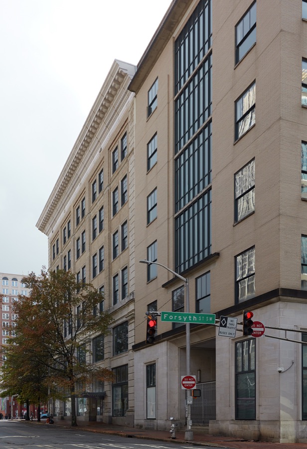
Surveyed structures

145 structures

The vanished settlements of Fulton County, the places these records name that are no longer on the map.
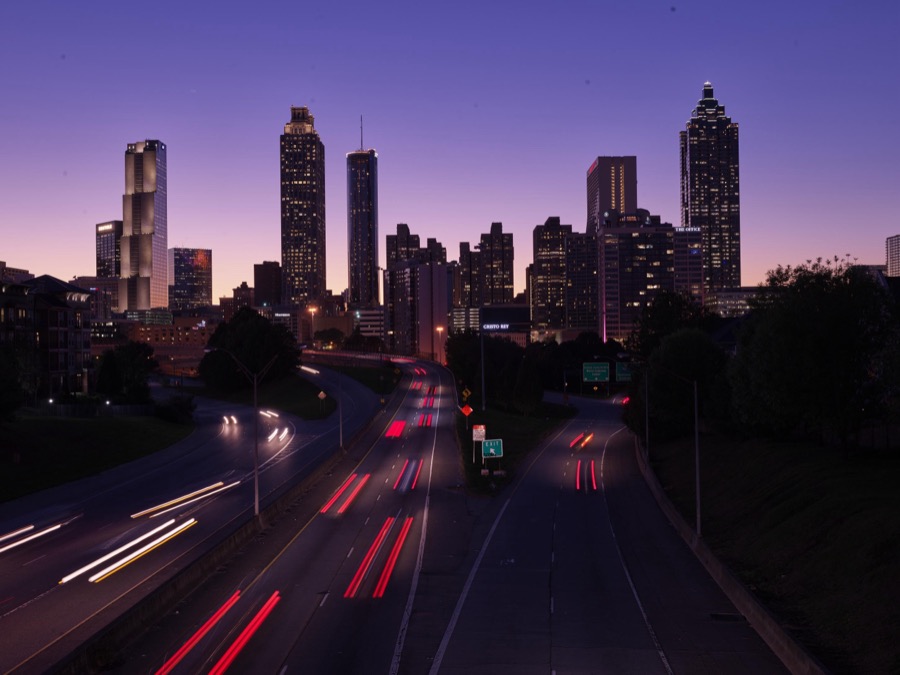
Provenance

  • Topographic sheets. USGS Historical Topographic Map Collection, county index, measured from the bulk metadata.
  • Fire insurance maps. Library of Congress Sanborn collection, faceted to this county.
  • Photographs. Each place queried individually against the Library of Congress Prints and Photographs search.
  • Wildfire. Short, Karen C. 2022. Spatial wildfire occurrence data for the United States, 1992-2020 [FPA_FOD_20221014]. 6th Edition. Fort Collins, CO: Forest Service Research Data Archive. https://doi.org/10.2737/RDS-2013-0009.6 Collected with United States Government funding and usable without additional permissions or fees.
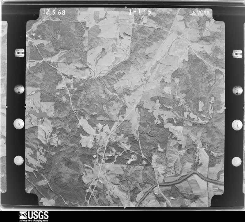
  • Mines and quarries. USGS Mineral Resources Data System (MRDS) https://mrdata.usgs.gov/mrds/ A work of the United States government, no copyright under 17 U.S.C. 105.
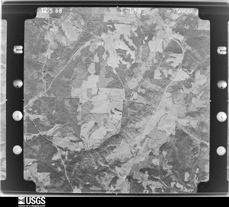
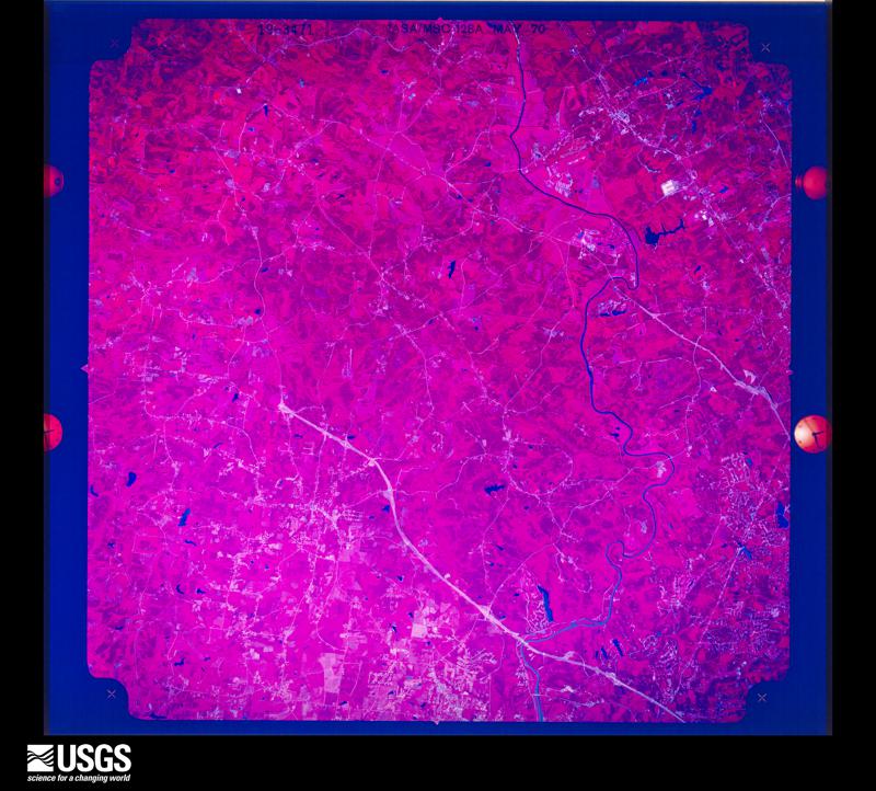
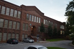
  • Storms. NOAA National Centers for Environmental Information, Storm Events Database https://www.ncei.noaa.gov/stormevents/ A work of the United States government, no copyright under 17 U.S.C. 105. Narratives are quoted verbatim from the National Weather Service report and are not edited or summarised.