 Block
Bowdon, Georgia
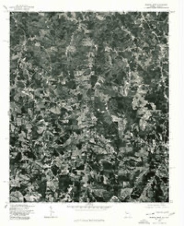
16 topographic sheets cover this place, the earliest surveyed in 1889 and the latest in 1981. It stands in the Bowdon census division. It lies in ZIP code area 30108. The Survey maps it on the Bowdon West quadrangle. 2,161 people lived here at the 2020 count. It stands 1,079 feet above sea level.
On record in Bowdon
Buildings and businesses the archive holds for this place. Each opens its own page, with the source record it came from.
On the National Register 3 records
 Dr. James L. Lovvorn Houselisted 1988
- Bowdon Historic Districtlisted 2009
- McDaniel-Huie Placelisted 1990
Population over time
2 figuresBowdon grew from 2,040 to 2,161 between 2010 and 2020. These are the recorded population figures Wikidata holds for this place, reached through the Geographic Names Information System number this page is keyed on rather than by name, so they belong to this place and not to another of the same name. Most are census counts, but not all are: an early figure may be a founding or settlement estimate, and an estimate published within five years of a census is left out. The change column is computed, and is left blank where more than 20 years separate a figure from the one before it, because a gap that long is not a change between two counts.
| Year | People | Change |
|---|---|---|
| 2010 | 2,040 | |
| 2020 | 2,161 | +121 (+6%) |
Topographic sheets covering this place
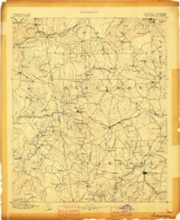
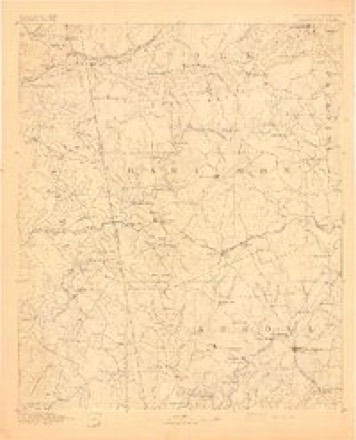
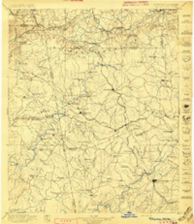
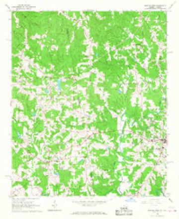
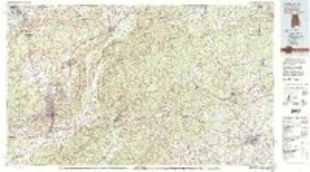
9 surveys from 16 printed sheetsMatched by testing this settlement's coordinate against the published boundary of every sheet in the United States Geological Survey's historical collection. Each opens the scanned sheet at the Survey.
- 1889 USGS Tallapoosa quadrangle1:125000
- 1892 USGS Tallapoosa quadrangle1:125000
- 1897 USGS Tallapoosa quadrangle1:125000, 4 printings
- 1953 USGS Atlanta quadrangle1:250000, 2 printings
- 1957 USGS Atlanta quadrangle1:250000
- 1958 USGS Atlanta quadrangle1:250000
- 1966 USGS Bowdon West quadrangle1:24000, 3 printings
- 1975 USGS Bowdon West quadrangle1:24000
- 1981 USGS Anniston quadrangle1:100000, 2 printings



Fires near this place
152 since 1992Regional context, not property-specific evidence. The federal wildfire occurrence database lists 152 fires within 5 miles of Bowdon between 1992 and 2020, burning about 542 acres in total. 1 started naturally. 34 were recorded as arson. Distance is straight-line from the map coordinates, so a fire counted here may appear on a neighbouring settlement's page as well.
| Reported cause | Fires |
|---|---|
| Debris and open burning | 78 |
| Arson/incendiarism | 34 |
| Missing data/not specified/undetermined | 14 |
| Misuse of fire by a minor | 9 |
| Recreation and ceremony | 7 |
| Smoking | 7 |
| Equipment and vehicle use | 2 |
| Natural | 1 |
The most recent of them, most recent first, with the day each was reported and the service that recorded it.
| Date | Cause | Size | Reported by | Name on the report |
|---|---|---|---|---|
| 9 September 2003 | Debris and open burning | under an acre | Georgia Forestry Commission | not named |
| 30 September 1993 | Debris and open burning | 1.3 acres | Georgia Forestry Commission | not named |
| 30 September 1993 | Debris and open burning | under an acre | Georgia Forestry Commission | not named |
| 25 September 2003 | Debris and open burning | under an acre | Georgia Forestry Commission | not named |
| 23 September 2018 | Debris and open burning | 3.5 acres | Georgia Forestry Commission | FY2019CARROLL003 |
| 21 September 1996 | Debris and open burning | under an acre | Georgia Forestry Commission | not named |
| 18 September 1999 | Debris and open burning | under an acre | Georgia Forestry Commission | not named |
| 16 September 1999 | Missing data/not specified/undetermined | 4.3 acres | Georgia Forestry Commission | not named |
Settlements close enough to share some of these fires:
Storms near this place
37 since 1998Regional context, not property-specific evidence. The National Weather Service names Bowdon in 37 storm reports between 1998 and 2025: 20 thunderstorm wind, 12 hail, 2 lightning, 1 tornado. The reports record 1 injury. Each account below is quoted exactly as the forecast office filed it, from the NOAA Storm Events Database, and each date opens the federal record of that event.
| When | Event | Place named | Harm | What the report says |
|---|---|---|---|---|
| February 2008 | Tornado (EF3) | Bowdon | 1 hurt, $8,000,000 | A ground and aerial damage survey conducted by the National Weather Service Forecast Office in Peachtree City, Georgia and the Carroll County Emergency Management Director concluded that an EF3 tornado touched down in extreme western Carroll county, just across the Alabama state line, about 13 miles west of Carrollton and continued to a point approximately five miles west of Carrollton. The tornado traveled a path length of seven to eight miles and had a maximum path width of 100 yards. Maximum wind speeds were estimated at 140 mph. Twelve structures, mostly single family homes, suffered extensive damage along the path of the tornado. Only four of the affected structures were manufactured or mobile homes. Two of the affected homes were destroyed, on Indian Creek Road. A woman was injured on Smithfield Road when she was blown from her home. Numerous trees and power lines were down throughout the area as well. Damages were estimated to be nearly $10 million. This plus the following tornado resulted in damage to 128 structures. Six single-family and one mobile home were destroyed, two mobile homes suffered major damage, 34 single-family homes sustained minor damage, and 84 single-family homes, along with one mobile home, suffered minor damage. Five businesses were damaged, two of which were destroyed, along with one suffering major and two others minor damage. |
| March 2013 | Hail | Bowdon | $768,000 | Ham radio operators and the public reported 1 to 2 inch hail across Carroll County in the second of two significant hailstorms that moved through. |
| February 2009 | Hail | Bowdon | $500,000 | Several reports of large hail were received from the southern half of the county. The public observed golf ball-sized hail in Clem. The Fire Department observed nickel-sized hail in Bowden. The county emergency manager observed penny-sized hail in Carrollton. Finally, a National Weather Service employee observed quarter-sized hail in Whitesburg in the far southeast corner of the county. The Target store at McIntosh Plaza suffered considerable roof damage from the hail, causing leaks and damaging merchandise. The public reported that windshields of vehicles in the area were damaged. |
| July 2002 | Lightning | Bowdon | $300,000 | The Times Georgian newspaper of Carrollton reported that lightning struck two homes. In both instances, the homes were completely destroyed and the families lost all of their possessions. |
| May 2010 | Flash Flood | Bowdon | $100,000 | The Carroll County Emergency Management Director reported that several road drainage culverts were washed out across the county. Culverts were washed out on Hamp Chappell Road seven miles southeast of Carrollton, Horsley Mill Road near Little Snake Creek eight miles east of Carrollton, and at Dashboard Road 10 miles southwest of Carrollton. At the height of the flooding, 18 roads across the county were closed. Road repair cost the county $100,000. |
| August 1999 | Lightning | Bowdon | $50,000 | Fire caused by lightning destroyed a 102 year old church. |
| May 2009 | Thunderstorm Wind | Bowdon | $30,000 | The Carroll County Emergency Management Director reported that at least a dozen trees were down across the county. One home in Amindon Estates suffered structural damage when a tree fell through the structure. |
| May 1998 | Hail | Bowdon | $25,000 | From 3/4 inch to 21/2 inch hail was reported by the public and an off-duty Weather Service employee. The hail was reported as golf ball size in Bowdon and up to tennis ball size in Carrollton. Cars were dented and had windshields broken. Roofs of houses were damaged and leaves were shredded leaves off trees. |
| June 2002 | Thunderstorm Wind | Bowdon | $15,000 | The Carroll county Emergency Management Director reported that numerous trees and power lines were down in Bowdon, Mt. Zion, and Whitesburg. In addition, an old barn was destroyed and the back porch on an old house was damaged. |
| August 1999 | Thunderstorm Wind | Bowdon | $10,000 | Wooden trusses for a new church were blown down during a strong thunderstorm. |
| July 2010 | Thunderstorm Wind | Bowdon | $7,000 | The Carroll County Emergency Management Director reported that several trees and power lines were blown down in the southern part of the county, mostly southeast of Bowdon. A few trees and tree limbs were also down in and around Carrollton. A barn just southeast of Bowdon lost parts of its roof from strong thunderstorm wind gusts. |
| May 2025 | Thunderstorm Wind | Bowdon | $5,000 | Emergency manager reported a tree down on a home on the 400 block of Mitchell Ave. |
| December 2024 | Thunderstorm Wind | Bowdon | $5,000 | Public reports multiple trees down in the city of Bowden . |
| June 2011 | Thunderstorm Wind | Bowdon | $5,000 | The Carroll County 911 Center reported that at least 10 trees were down across the county. |
| April 2011 | Thunderstorm Wind | Bowdon | $5,000 | The Carroll County Emergency Management Director reported that several trees and some power lines were down across the northwest part of the county from Bowdon to north of Carrollton to near the Haralson county line. |
| June 2011 | Thunderstorm Wind | Bowdon | $4,000 | An off-duty National Weather Service employee reported that at least 10 trees were down at the Sunset Hills Country Club southwest of Carrollton. WSB Television of Atlanta reported that a power line was down at a residence northeast of Carrollton. WSR-88D base velocity data suggested that strong winds, on the order of 50kts or greater, likely translated across the county from northwest of Bowdon to Whitesburg. |
| May 1998 | Thunderstorm Wind | Bowdon | $4,000 | The public reported thunderstorm winds blew shingles from a house, knocked down power lines, and broke off 6 to 8 inch diamter tree limbs. |
| February 2025 | Thunderstorm Wind | Bowdon | $3,000 | Several trees and powerlines down in the Bowden area of Carrol County. |
| May 2024 | Thunderstorm Wind | Bowdon | $3,000 | EM reports 3 trees down on roadways in the city limits of Bowdon. |
| June 2007 | Thunderstorm Wind | Bowdon | $3,000 | The Carroll County Emergency Management Director reported that several trees were down in the Bowdon area, two more trees down in Roopville, and two more down in Tyus. |
| August 2023 | Thunderstorm Wind | Bowdon | $1,000 | Tree and powerlines down along Wessmanor Cir. |
| June 2023 | Thunderstorm Wind | Bowdon | $1,000 | Emergency manager reported a tree down at the 900 block of South Hwy 100 to the south of Bowdon. |
| July 2006 | Thunderstorm Wind | Bowdon | $1,000 | The public reported that one large tree was blown down and a small shed was blown off its foundation. |
| June 1998 | Thunderstorm Wind | Bowdon | $1,000 | A HAM operator reported a few trees were blown down. |
| August 2023 | Thunderstorm Wind | Bowdon | - | Emergency Manager reported a tree fell on a home along Rome St in Bowdon. |
| August 2023 | Thunderstorm Wind | Bowdon | - | Emergency Manager reported a tree fell on a home along Grammar School Dr in Bowdon. |
| June 2022 | Thunderstorm Wind | Bowdon | - | Report of numerous trees down on Grammar School Dr and Eastwood Cir. |
| June 2011 | Hail | Bowdon | - | The Carroll County Emergency Management Director relayed a report of penny-sized hail just south of Bowdon. |
| January 2010 | Hail | Bowdon | - | The Carroll County Emergency Management Director reported penny-sized hail near Roopeville. |
| February 2009 | Funnel Cloud | Bowdon | - | The Carroll County 911 Center relayed reports of funnel clouds and a possible tornado just north of Bowdon near Georgia Highway 100 and Indian Creek Road. Doppler radar indicated a strong circulation in this area and a tornado warning was in effect at the time. However, no damage was observed or reported in this area. |
| May 2008 | Hail | Bowdon | - | A fire station south of Bowdon observed penny-sized hail in the southwest part of Carroll county. |
| May 2008 | Hail | Bowdon | - | An amateur radio operator reported penny-sized hail in the Bowdon area. Radar data supported that hail of similar size, perhaps larger, fell across the far western and southern parts of the county, south of Bowdon and toward Tyrus and possibly even Roopville. |
| June 2004 | Hail | Bowdon | - | The public reported that quarter-sized hail fell for up to 20 minutes. |
| May 2002 | Hail | Bowdon | - | The Carroll county 911 center reported golf ball size hail. The public reported dime size hail. |
| May 2002 | Hail | Bowdon | - | The public reported dime size hail. |
| May 2001 | Hail | Bowdon | - | An amateur radio operator reported dime size hail. |
| August 1999 | Hail | Bowdon | - | The public and a fire station reported 3/4 inch hail. |
Nearest settlements
The eight closest, with where each one stands in the county. Distances are straight-line, computed from the Geographic Names Information System coordinates.
| Map | Place | Distance | Sheets |
|---|---|---|---|
| Cedar Valley | 1.0 miles | 16 | |
| Jonesville | 1.9 miles | 15 | |
| Victory | 2.9 miles | 15 | |
| Fairview (historical) | 3.1 miles | 15 | |
| Farmers High | 3.5 miles | 15 | |
| Burwell | 3.8 miles | 15 | |
| Joel | 4.4 miles | 11 | |
| Bucktown | 4.8 miles | 13 |
Elsewhere
Matched on this settlement's Geographic Names Information System number rather than its name, so it cannot be a different place of the same name in another state.
| Wikipedia article on Bowdon | An encyclopaedic summary. Its text is share-alike, so it is linked here rather than copied. |
| Wikidata item Q3241365 | The structured record the population and elevation above come from. Public domain (CC0). |
Provenance
This settlement is recorded in the Geographic Names Information System as feature 354818. The sheet list is computed by point-in-boundary test against the United States Geological Survey's historical topographic inventory. Both are works of the United States government and carry no copyright under 17 U.S.C. 105.
Wildfire. Short, Karen C. 2022. Spatial wildfire occurrence data for the United States, 1992-2020 [FPA_FOD_20221014]. 6th Edition. Fort Collins, CO: Forest Service Research Data Archive. https://doi.org/10.2737/RDS-2013-0009.6 Collected with United States Government funding and usable without additional permissions or fees.
Storms. NOAA National Centers for Environmental Information, Storm Events Database https://www.ncei.noaa.gov/stormevents/ A work of the United States government, no copyright under 17 U.S.C. 105. Narratives are quoted verbatim from the National Weather Service report and are not edited or summarised.