 Block
From the record
17 National Register listings published here.
Sources: the National Register database, National Park Service
70 topographic sheets and 16 fire insurance atlases across 3 places.
17 National Register listings published here.
Sources: the National Register database, National Park Service
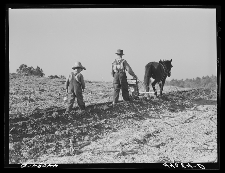
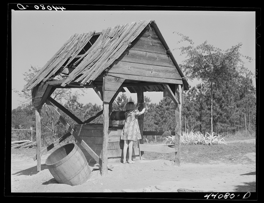
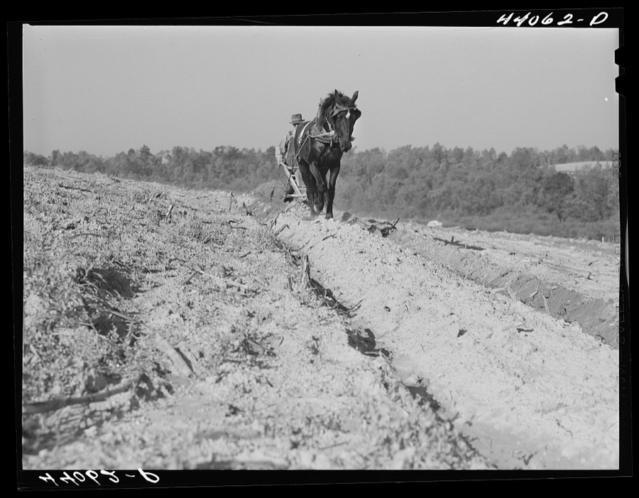
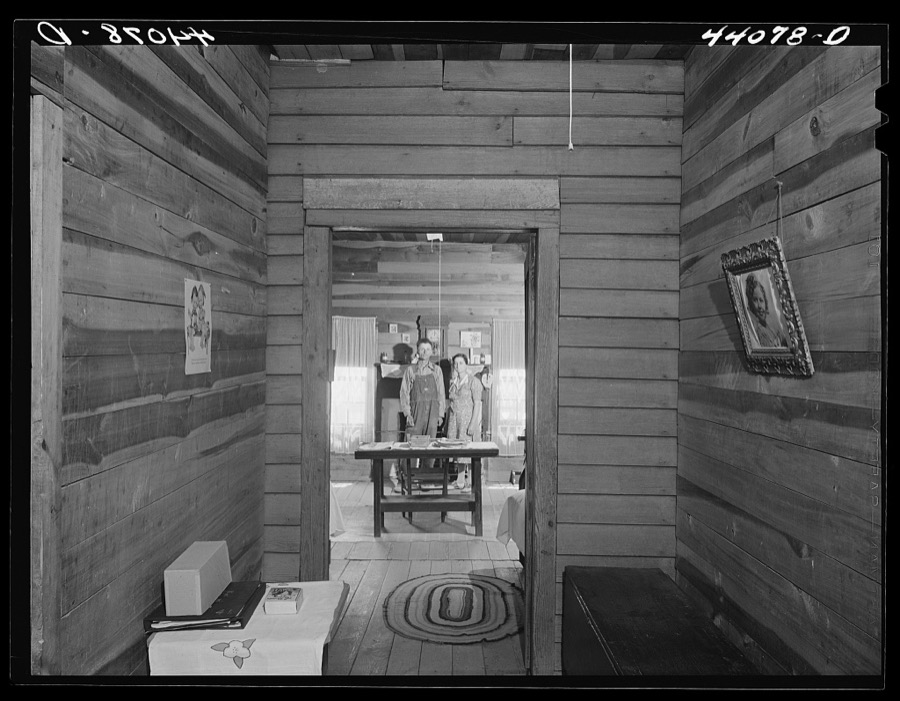
Taken for the Office of War Information and the Farm Security Administration, who photographed the country between 1935 and 1944. Works of United States government photographers, with no known restriction on use. Each opens its catalogue record.








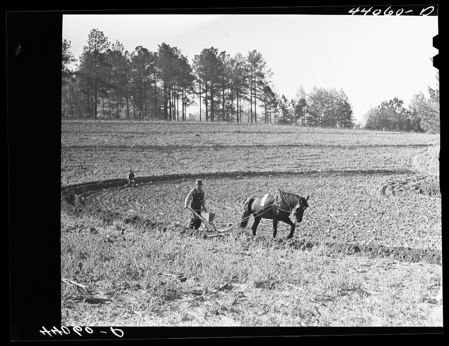
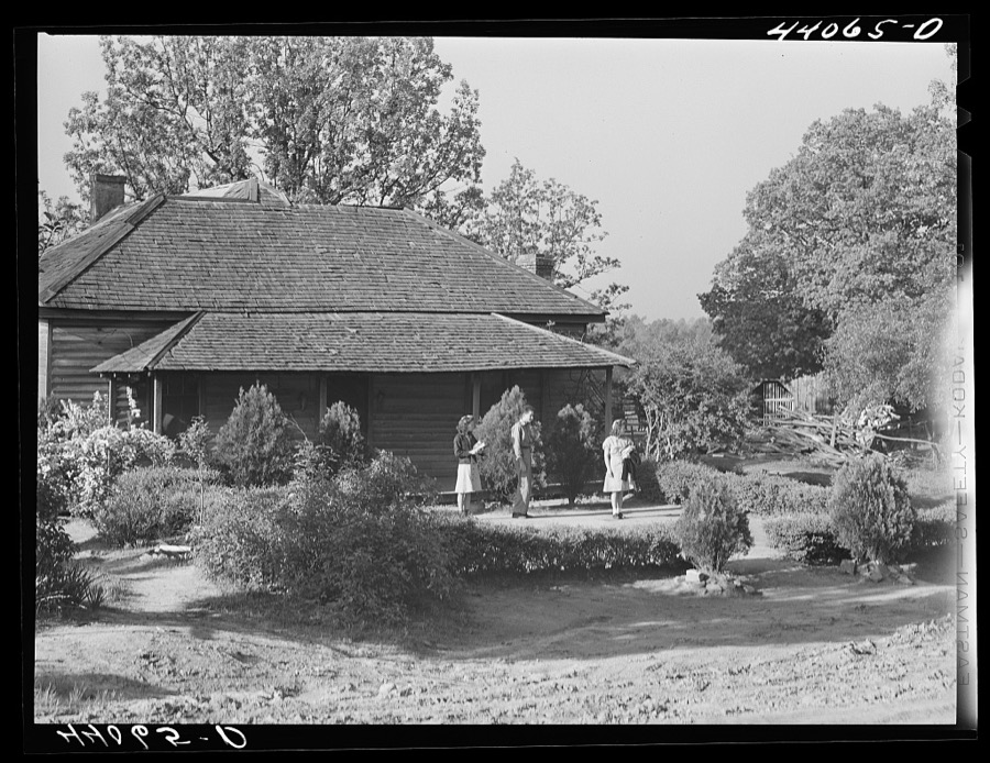
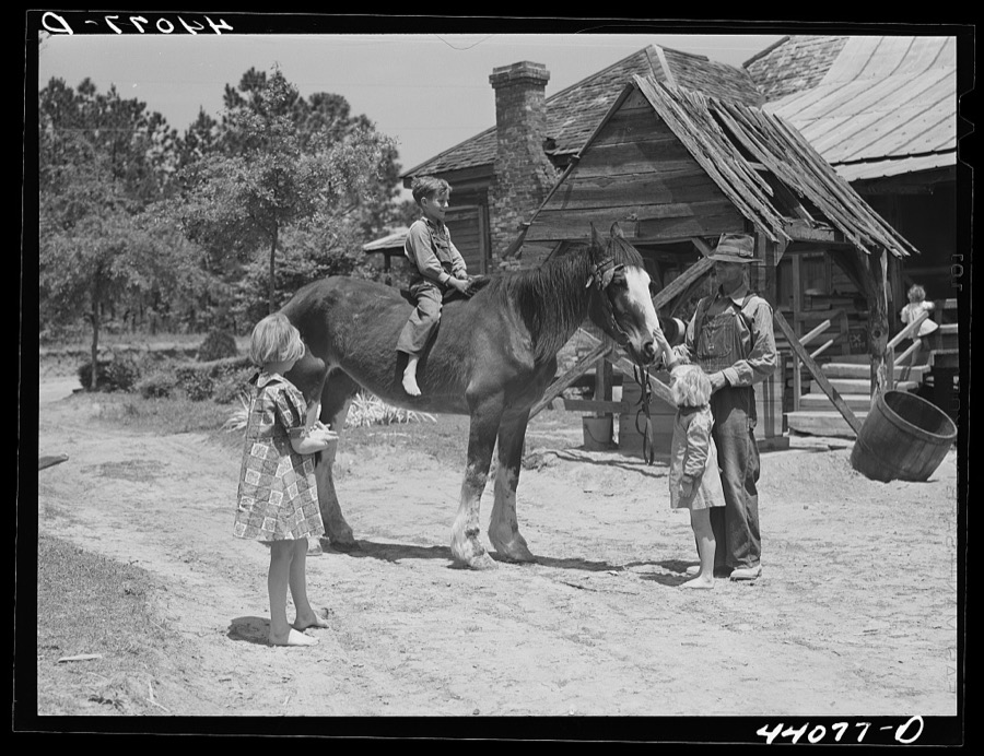
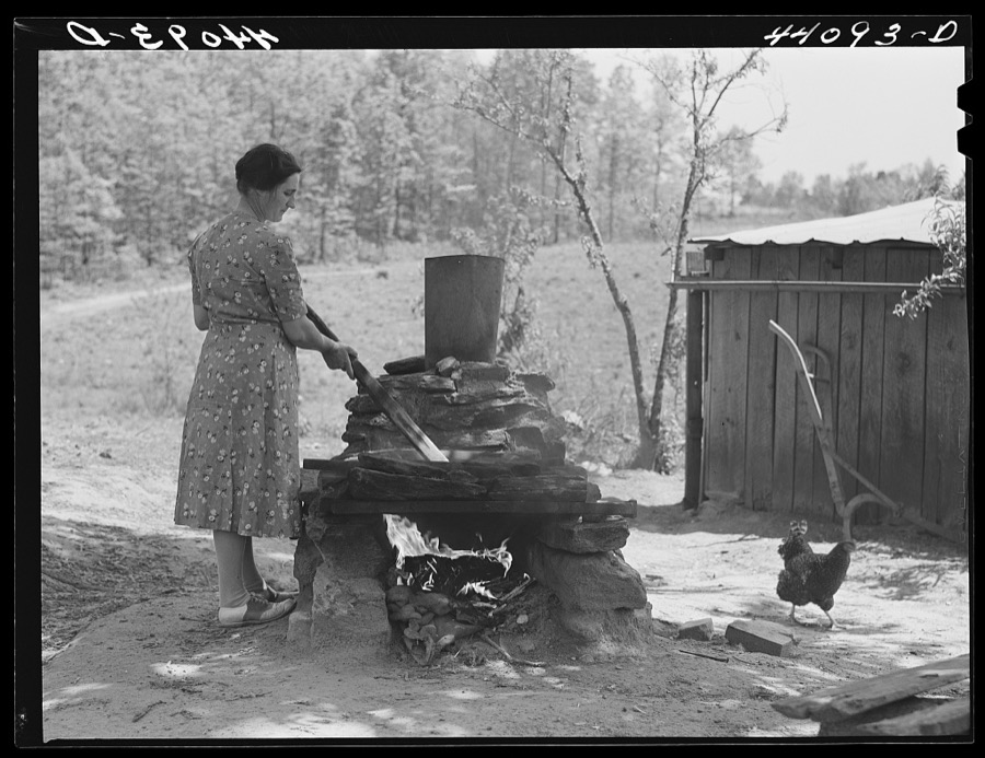
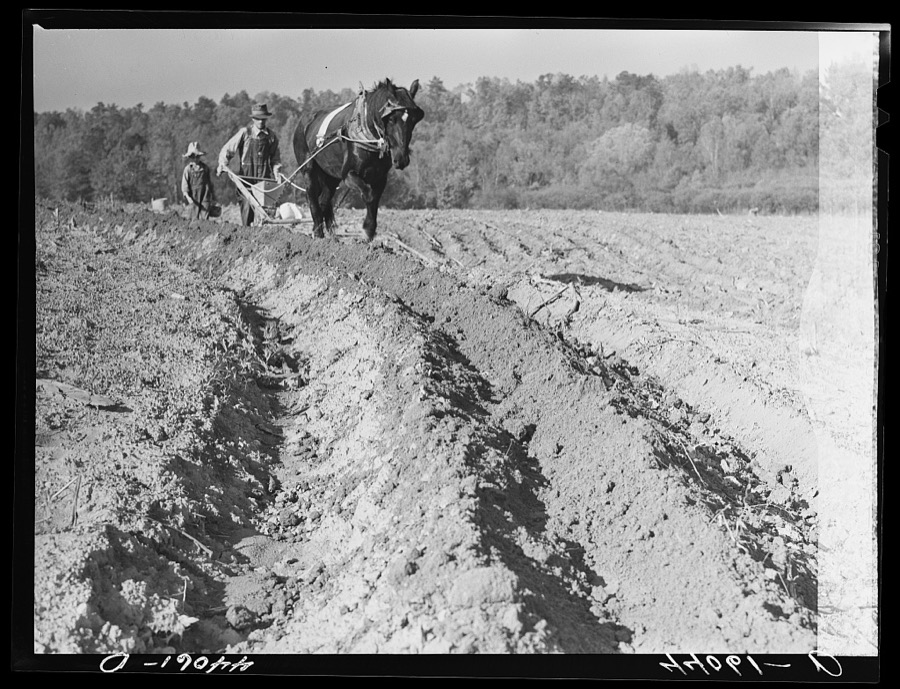


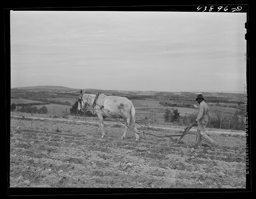
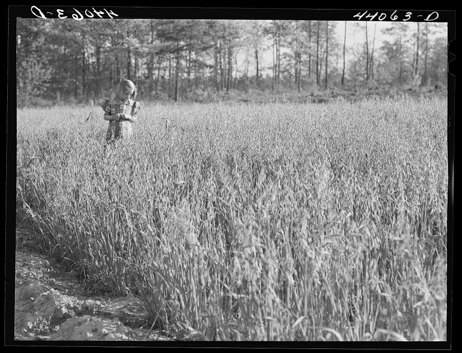




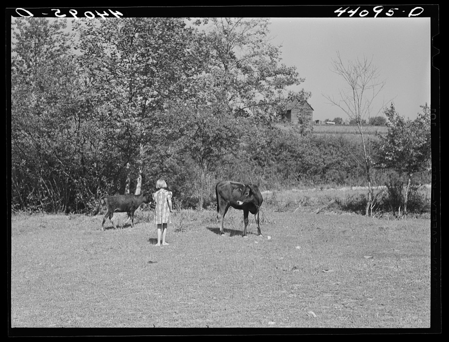
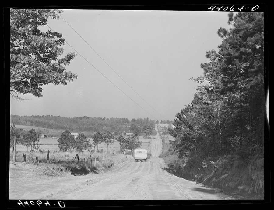









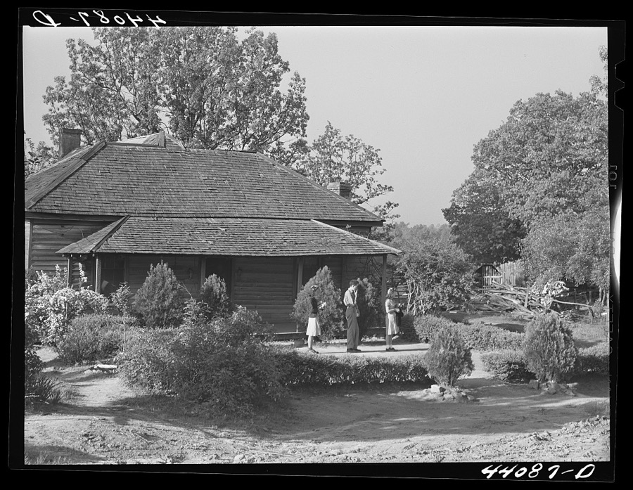
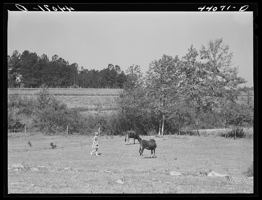
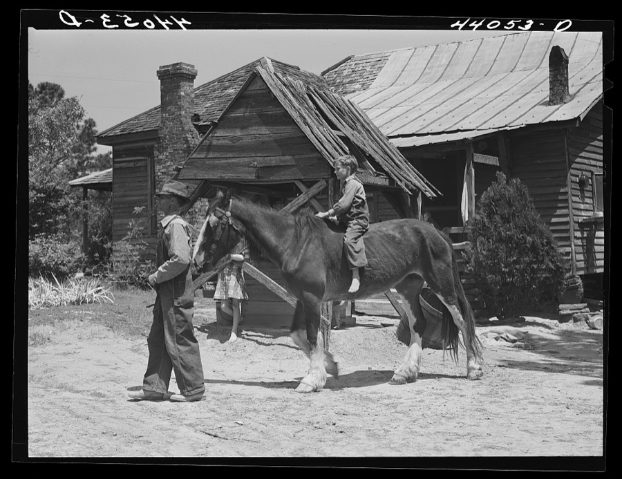

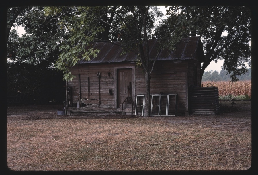


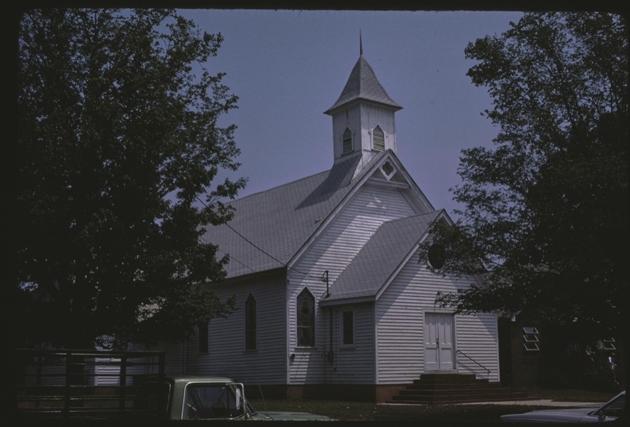
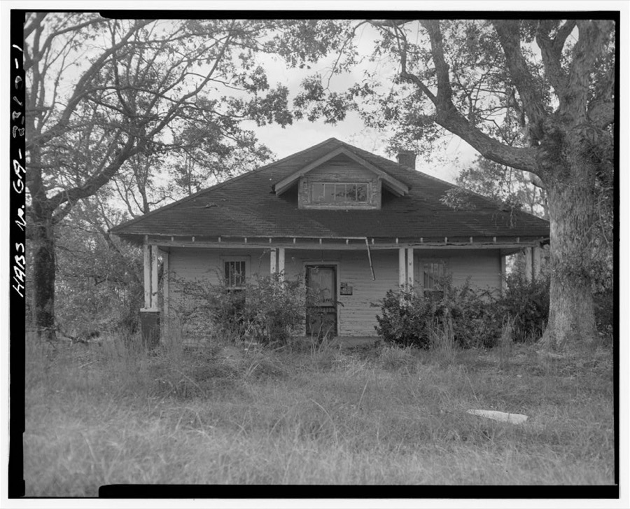
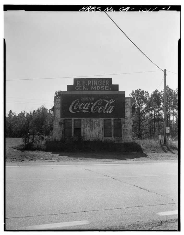
Every property in this county listed on the National Register of Historic Places, with the year it was listed and the federal nomination document.
| Photograph | Property | Type | Listed | Reference |
|---|---|---|---|---|
| Banning Mills Industrial Archeological District | district | 2025 | 100012416 | |
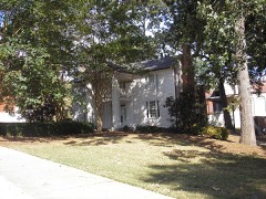 | Bonner-Sharp-Gunn House | building | 1970 | 70000198 |
| Bowdon Historic District | district | 2009 | 09001056 | |
 | Carroll County Courthouse | building | 1980 | 80000985 |
| Carrollton Downtown Historic District | district | 2007 | 07000378 | |
| Dorough Round Barn and Farm | building | 1980 | 80000986 | |
| Eric Vernon Folds House | building | 2005 | 05000902 | |
 | Lawler Hosiery Mill | building | 2005 | 04001558 |
 | Dr. James L. Lovvorn House | building | 1988 | 88000595 |
| Mandeville Mills and Mill Village Historic District | district | 2006 | 06000287 | |
| McDaniel-Huie Place | district | 1990 | 90000803 | |
 | North Villa Rica Commercial Historic District | district | 2002 | 02001635 |
| South Carrollton Residential Historic District | district | 1984 | 84000947 | |
 | U.S. Post Office | building | 1983 | 83000185 |
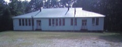 | Veal School | building | 2005 | 05001427 |
 | Whitesburg Baptist Church | building | 2002 | 02001220 |
| Williams Family Farm | district | 2005 | 05000193 |
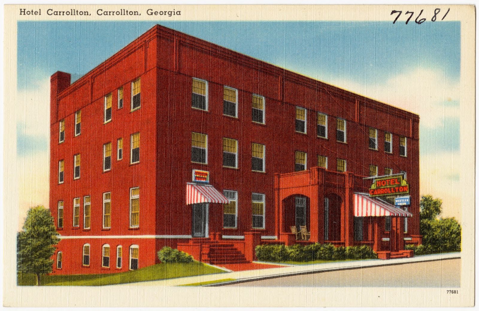
Selected from the Digital Public Library of America's 1 image records catalogued for this county. Every one shown here carries a public-domain status or a licence that permits reuse on a site that carries advertising; non-commercial, share-alike and restricted images are excluded. The selection is spread across the county's towns (at most eight per town), so no single institution's bulk upload crowds out the rest. Each opens the holding library's record, and the complete set at the Digital Public Library of America is one click away.
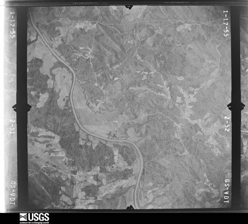
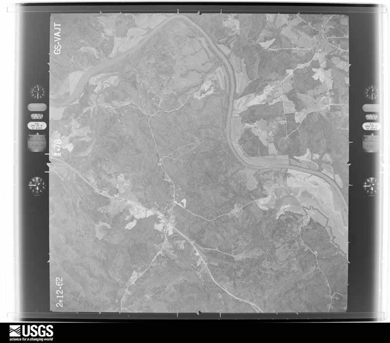
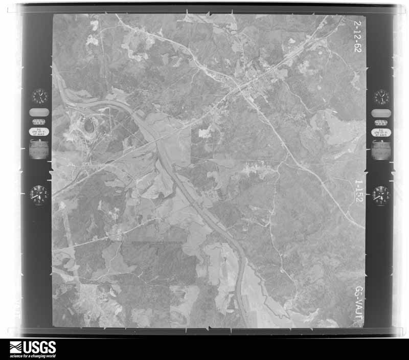
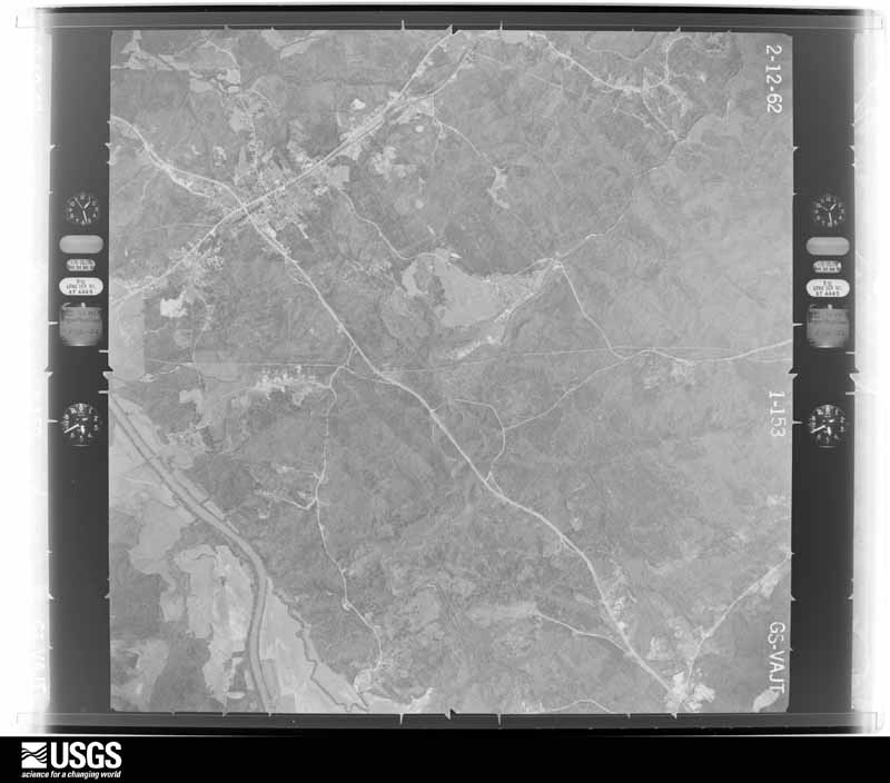
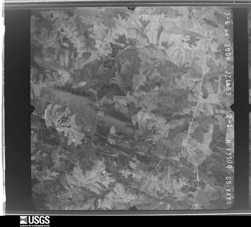
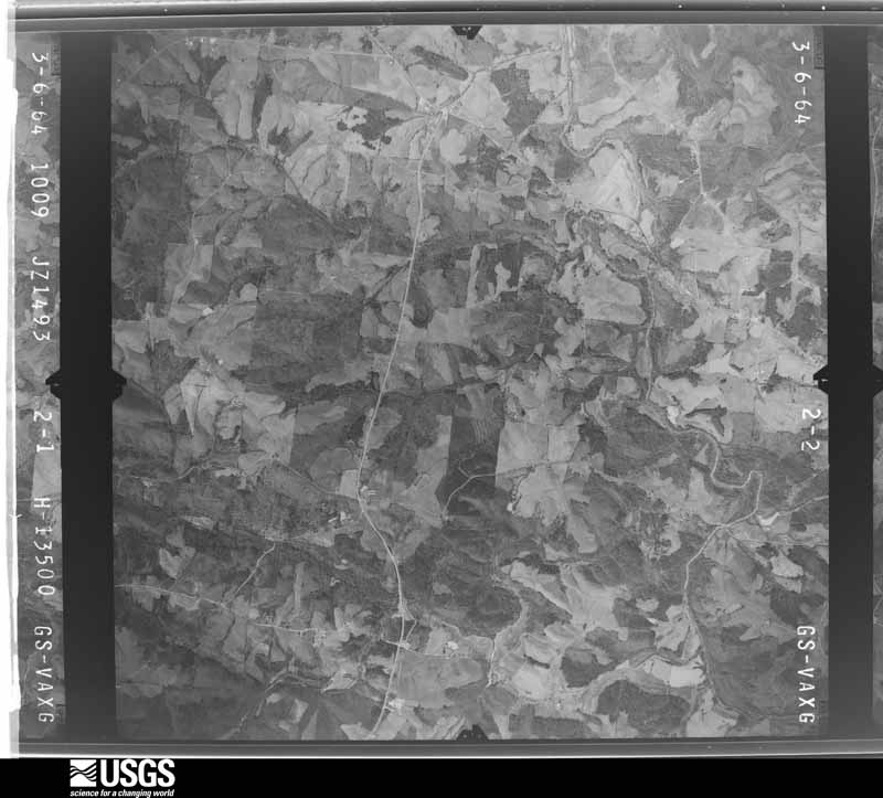
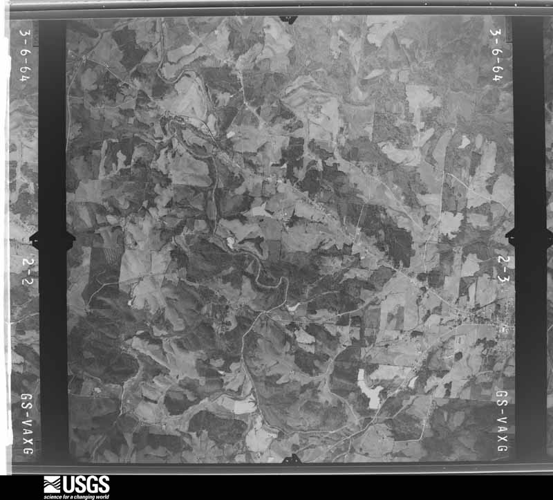
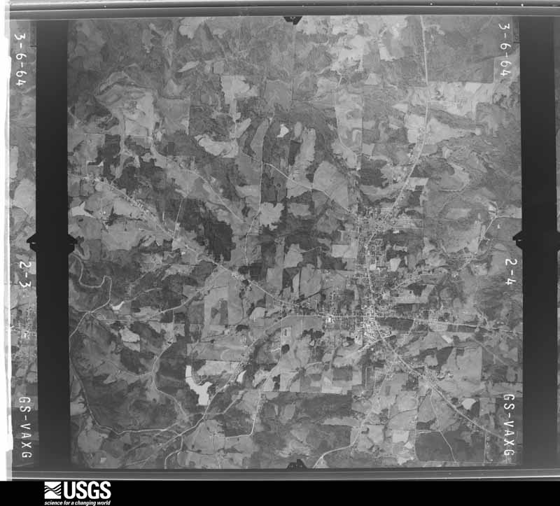
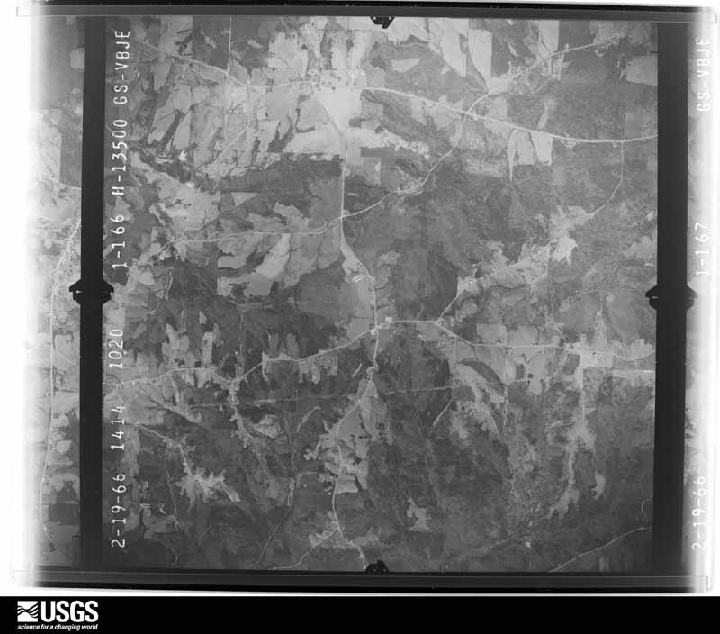
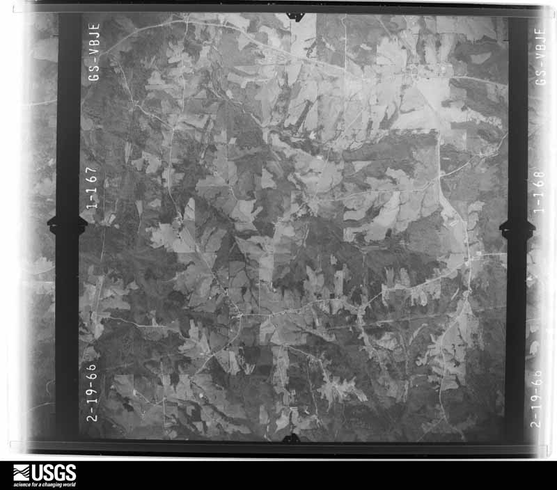
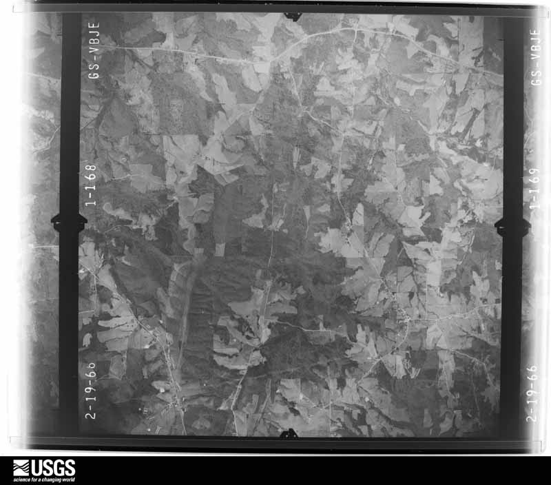
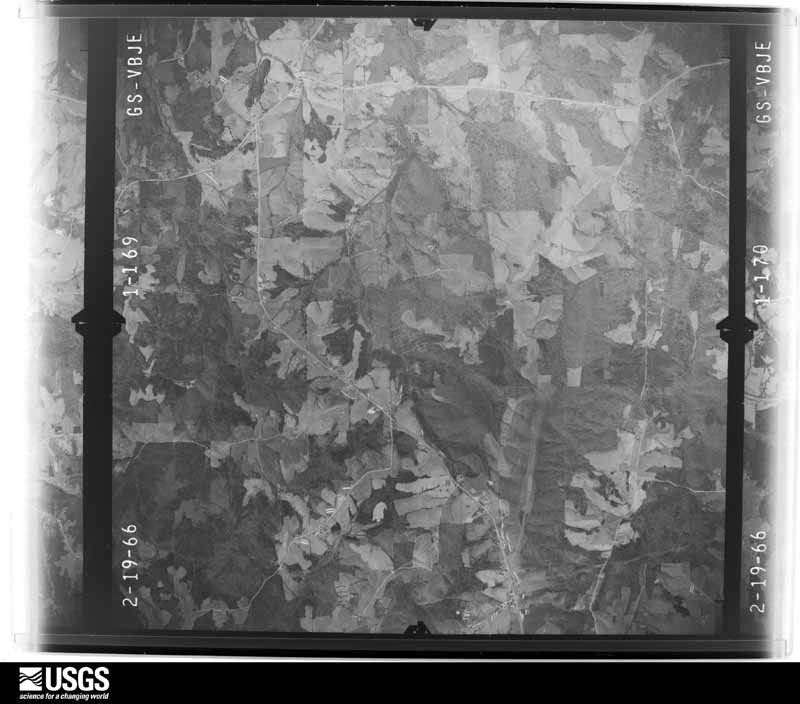
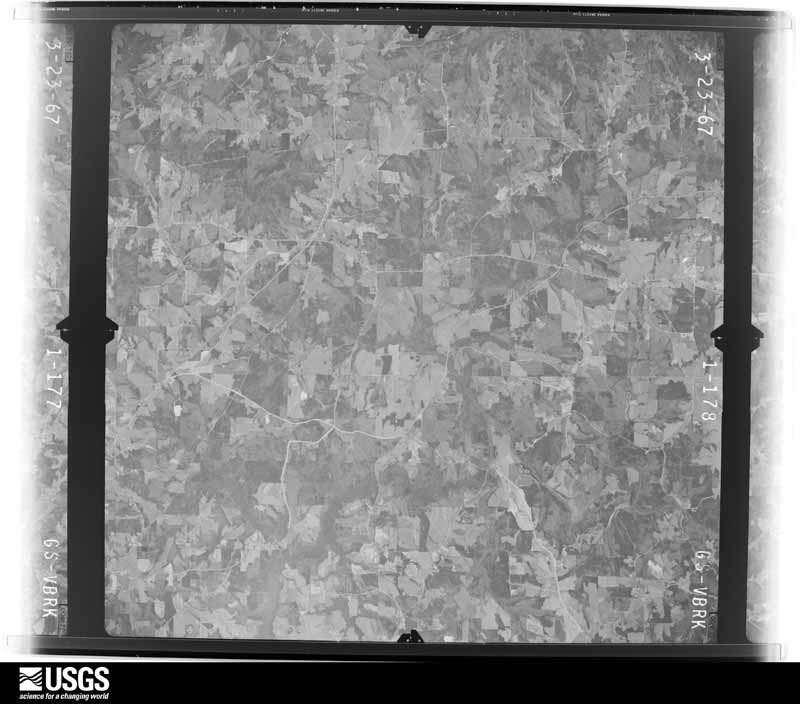
Flown by the U.S. Geological Survey between 1937 and 1989, the Aerial Photo Single Frames collection is the definitive mid-century view of the land: fields, roads and rivers as the camera saw them. The Survey holds 1,361 frames inside the rectangle that bounds this county; the 48 frames below were taken over the county itself, chosen across the decades of flights (at most four a year from that rectangle), so one flight cannot crowd out the rest. The full set is free to browse and download at EarthExplorer under the dataset Aerial Photo Single Frames.




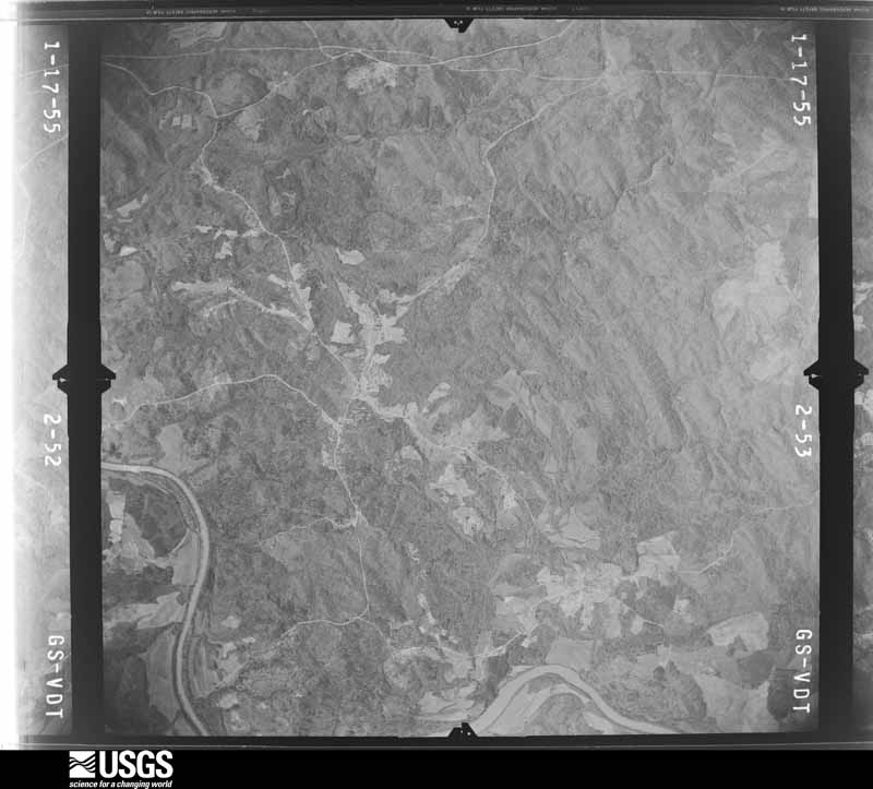
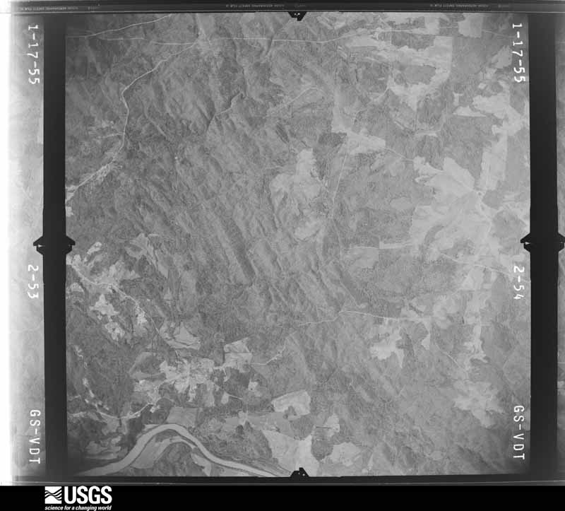
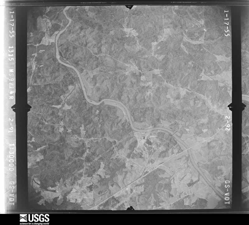
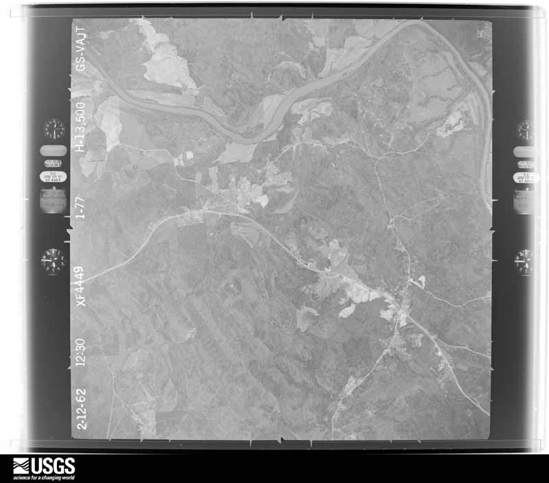



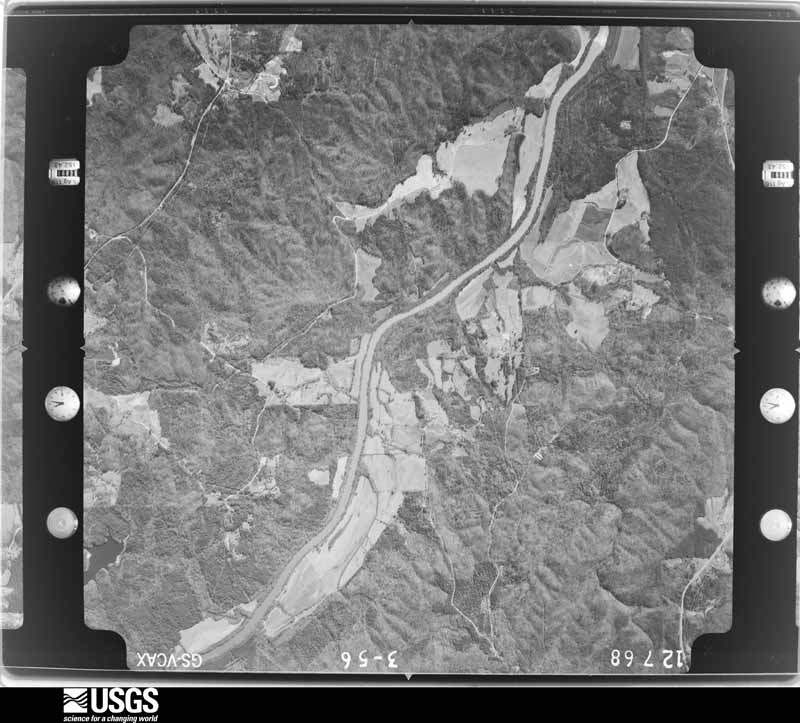
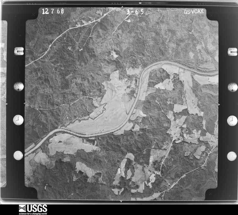
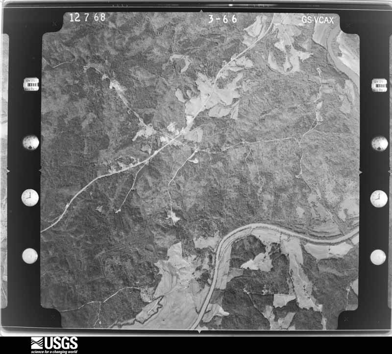
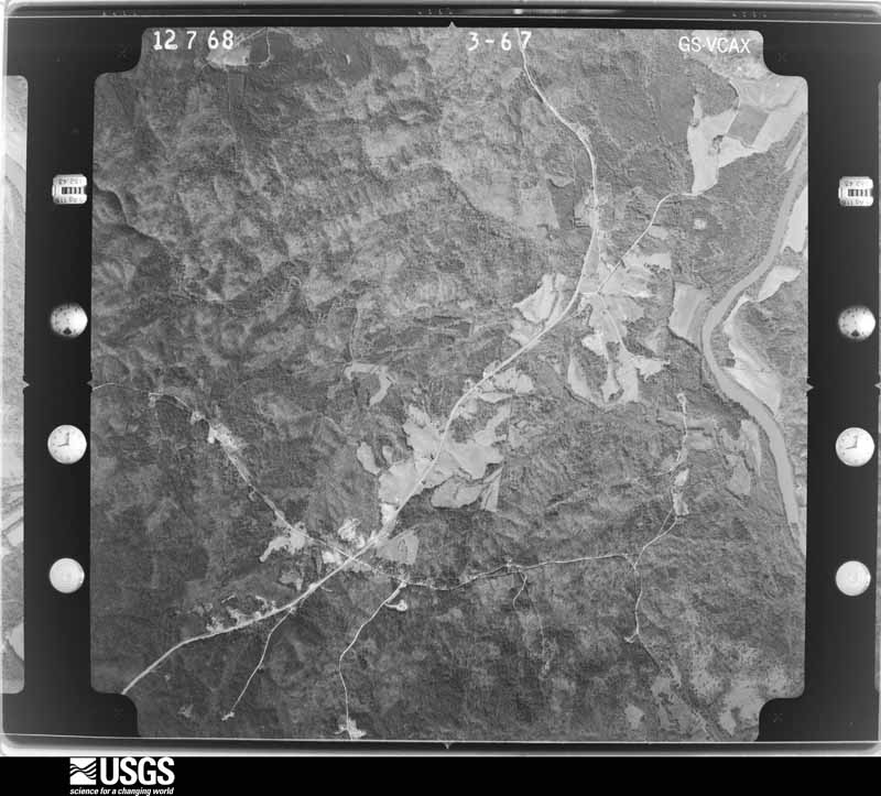








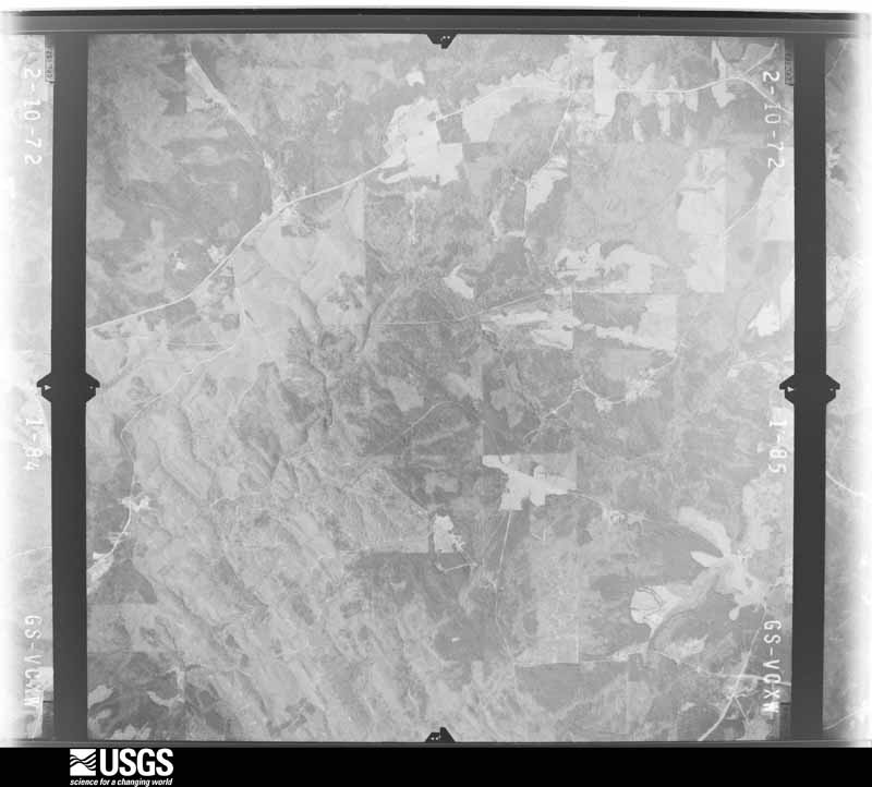
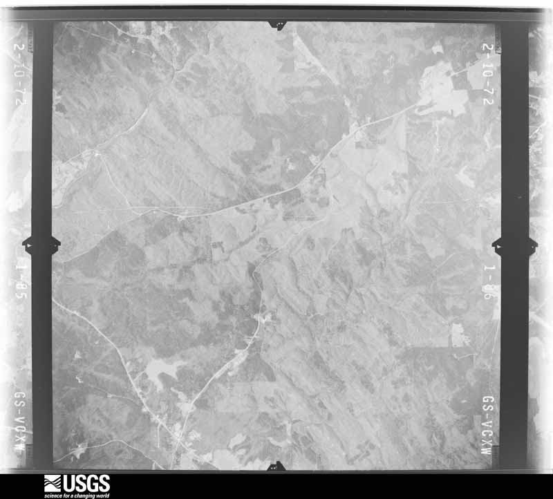
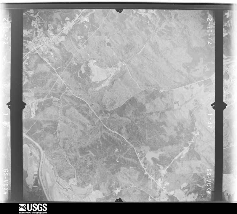
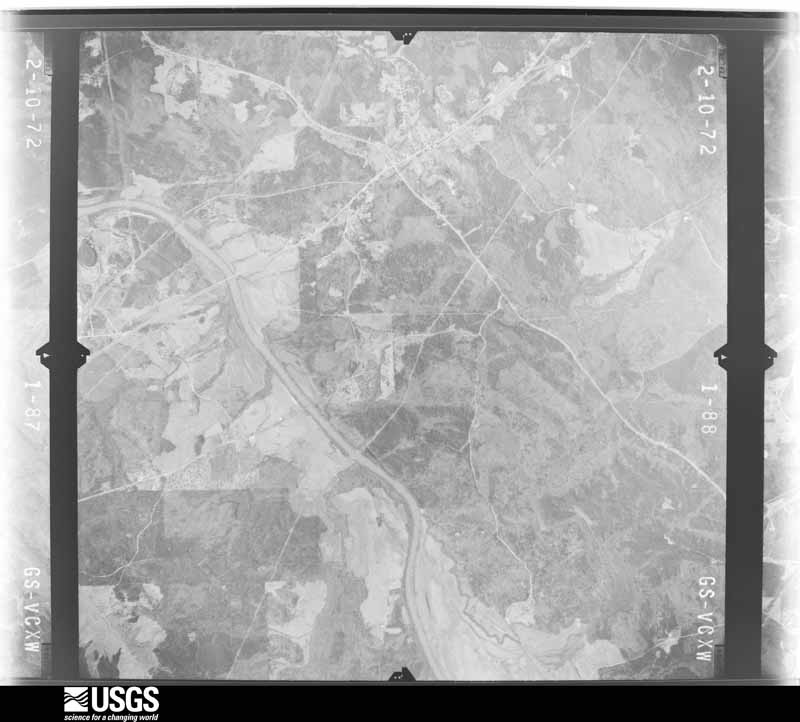



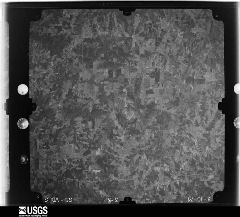

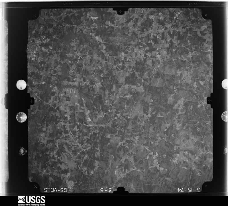
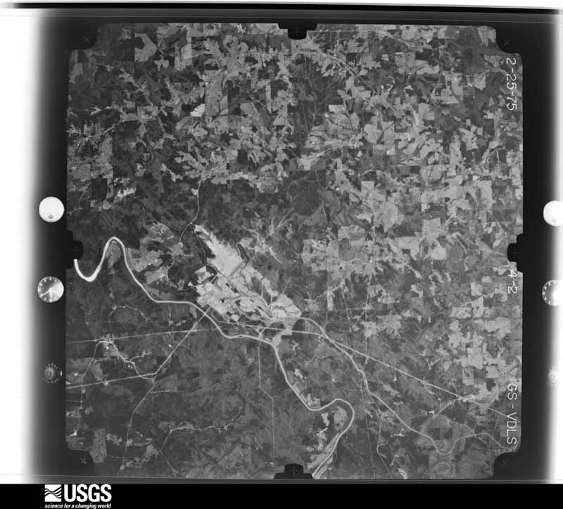
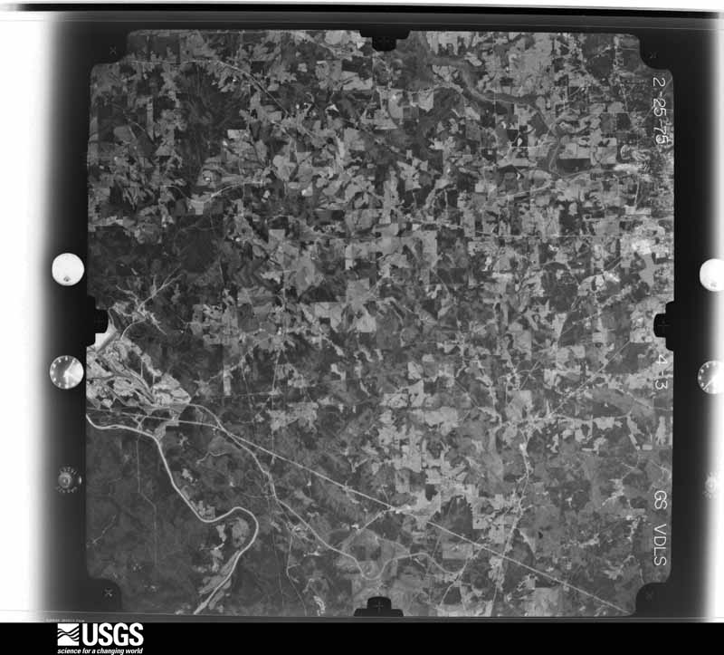
The thermometers that kept this county's weather, and the gages that measured the flow of its streams, as the federal records hold them. The extremes below are measured values from those records, not estimates.
Who lived here in 1950, one enumeration district at a time, as the Census Bureau described each district. Each row opens its official National Archives result, with Population Schedules and ED Maps available there.
Every wildfire the federal occurrence database records inside this county: 1,348 of them, burning about 4,591 acres. 45 started naturally and 384 were recorded as arson. Each settlement page carries the fires within five miles of it.
| Reported cause | Fires |
|---|---|
| Debris and open burning | 580 |
| Arson/incendiarism | 384 |
| Missing data/not specified/undetermined | 106 |
| Equipment and vehicle use | 78 |
| Recreation and ceremony | 62 |
| Misuse of fire by a minor | 53 |
| Natural | 45 |
| Smoking | 36 |
| Railroad operations and maintenance | 4 |
The five largest, by the area the report gives. Four of them were set deliberately.
| Date | Cause | Size | Reported by | Name on the report |
|---|---|---|---|---|
| 28 February 2007 | Debris and open burning | 160 acres | Georgia Forestry Commission | not named |
| 18 March 2016 | Arson/incendiarism | 94 acres | Georgia Forestry Commission | FY2016-CARROLL-009 |
| 4 March 2018 | Debris and open burning | 74 acres | Georgia Forestry Commission | FY2018CARROLL012 |
| 26 April 2013 | Debris and open burning | 63 acres | Georgia Forestry Commission | FY2013-CARROLL-034 |
| 4 April 1997 | Arson/incendiarism | 55 acres | Georgia Forestry Commission | not named |
| 20 March 1999 | Arson/incendiarism | 48 acres | Georgia Forestry Commission | not named |
| 3 March 2011 | Debris and open burning | 47 acres | Georgia Forestry Commission | FY2011-CARROLL-036 |
| 11 February 1996 | Arson/incendiarism | 46 acres | Georgia Forestry Commission | not named |
Every settlement page carries the fires within five miles of it - see the settlement index below.
The NOAA Storm Events Database holds 468 reports for this county, causing 2 deaths, 24 injuries and about $70,885,300 in recorded property damage. Each settlement page carries the reports that name it.
| Kind of event | Reports |
|---|---|
| Thunderstorm Wind | 277 |
| Hail | 109 |
| Tornado | 28 |
| Lightning | 22 |
| Flash Flood | 21 |
| Funnel Cloud | 4 |
| Flood | 3 |
| Heavy Rain | 3 |
| Winter Storm | 1 |
The most serious of them, by death, then injury, then recorded damage. The accounts are quoted exactly as the forecast office filed them.
| When | Event | Place named | Harm | What the report says |
|---|---|---|---|---|
| August 2005 | Tornado (F2) | Roopville | 1 killed, $4,400,000 | A National Weather Service Damage Survey Team, in conjunction with the Carroll County Emergency Manager and Chief of Fire and Rescue operations, concluded that the F2 tornado, which began just south of Glenloch in Heard county, continued north into Carroll county. The tornado entered Carroll county approximately three miles southeast of Roopville and continued north at 30-35 mph to a point about three miles northeast of Roopville. The overall path length within Carroll county was 4.0 miles with an approximate path width of 200 yards. Extensive damage occurred along the path of the tornado. A total of 17 large chicken houses were destroyed along with 1,000,000 chickens. This resulted in agricultural damages alone in Carroll county of $3,000,000. A 40-year old man was killed while stepping outside his house to check on the status of his poultry and one of his chicken houses. Other livestock, including cattle and horses were also killed along the tornado path. Several homes and vehicles were also damaged or destroyed. One Chevrolet pickup truck was flipped over by the tornado onto a pile of bricks and wooden panels. Damage to homes and residential property from the tornado was estimated at $1,435,800. Overall damage in Carroll county from the tornado and subsequent thunderstorm wind was estimated at $5,235,800. All together 30 homes in the county suffered moderate damage, with another 100 homes sustaining minor damage. |
| September 2009 | Flash Flood | Temple | 1 killed, $1,330,000 | The Atlanta Journal-Constitution reported that flash floods in Carroll county took the life of a 2-year old boy. The mobile home of a family of four was swept away by flood waters from Snake Creek. The childs's body was found almost a mile away from where the trailer home was originally anchored. The mobile home was located in a trailer park near Snake Creek, which was observed to have been nearly 20 feet deep. Local law enforcement officials note that the creek is normally only at a depth of two to three feet. It took nearly four hours to rescue the three other residents of the home, a man, wife, and 1-year old boy, which were found clinging to trees several yards downstream. This initial flash flood marked the beginning of a period of historical and record flash flooding across several west central Georgia counties. Flood damage during this initial time frame was estimated to be in excess of $1.3 million. |
| February 1990 | Tornado (F2) | not stated | 11 hurt, $250,000 | no account filed |
| April 1971 | Tornado (F2) | not stated | 2 hurt, $25,000 | no account filed |
| November 1967 | Tornado (F2) | not stated | 2 hurt, $25,000 | no account filed |
| February 1990 | Thunderstorm Wind | not stated | 2 hurt | no account filed |
| February 2008 | Tornado (EF3) | Bowdon | 1 hurt, $8,000,000 | A ground and aerial damage survey conducted by the National Weather Service Forecast Office in Peachtree City, Georgia and the Carroll County Emergency Management Director concluded that an EF3 tornado touched down in extreme western Carroll county, just across the Alabama state line, about 13 miles west of Carrollton and continued to a point approximately five miles west of Carrollton. The tornado traveled a path length of seven to eight miles and had a maximum path width of 100 yards. Maximum wind speeds were estimated at 140 mph. Twelve structures, mostly single family homes, suffered extensive damage along the path of the tornado. Only four of the affected structures were manufactured or mobile homes. Two of the affected homes were destroyed, on Indian Creek Road. A woman was injured on Smithfield Road when she was blown from her home. Numerous trees and power lines were down throughout the area as well. Damages were estimated to be nearly $10 million. This plus the following tornado resulted in damage to 128 structures. Six single-family and one mobile home were destroyed, two mobile homes suffered major damage, 34 single-family homes sustained minor damage, and 84 single-family homes, along with one mobile home, suffered minor damage. Five businesses were damaged, two of which were destroyed, along with one suffering major and two others minor damage. |
| February 2008 | Tornado (EF1) | Carrollton | 1 hurt, $7,000,000 | A damage survey conducted by the National Weather Service Forecast Office in Peachtree City, Georgia and the Carrollton County Emergency Management Director confirmed that yet another tornado touched down in eastern Carroll county spawned by the same squall line of thunderstorms that just a few minutes earlier had resulted in an EF3 tornado in western Carroll county. This tornado was rated an EF1, touching down three miles east of Carrollton and tracking to a point five miles east of Carrollton. The path length was two miles long with a maximum path width of 100 yards. Maximum wind speeds with the tornado were estimated at 90 mph. A total of 24 structures sustained minor damage. The majority of the damage was in the form of roof and siding damage to homes. Numerous trees and power lines were also blown down along this tornado track as well. A man was injured when a tree limb went through his automobile and impaled his body. |
| August 1961 | Tornado (F1) | not stated | 1 hurt, $25,000 | no account filed |
| December 2002 | Thunderstorm Wind | Carrollton | 1 hurt, $10,000 | A reporter with an Atlanta Television news station reported that numerous trees were blown down across the county. In Carrollton, one of the downed trees landed on a home causing damage to the structure and injuring a young girl that lived at the residence. |
| November 1992 | Thunderstorm Wind | not stated | 1 hurt | no account filed |
| February 1990 | Thunderstorm Wind | not stated | 1 hurt | no account filed |
| April 1989 | Thunderstorm Wind | not stated | 1 hurt | no account filed |
| September 2009 | Flood | Jake | $16,100,000 | Initial flash flooding evolved into a record and catastrophic flood event during this time frame. Carroll county emergency management personnel reported that at least a dozen other people were rescued from flooded homes and cars around the county, including one woman who escaped to safety as her vehicle was washed as she was driving. Substantial damage to homes, businesses, and roads were observed. Monetary damage during this time period was estimated to be in excess of $16 million. |
| May 2008 | Tornado (EF2) | Carrollton | $7,000,000 | A survey conducted by the National Weather Service Forecast Office in Peachtree City, Georgia confirmed that yet a second brief spinup tornado, spawned by the same parent thunderstorm, touched down in Carroll county. This tornado affected eastern Carroll county, touching down near the Diamond Court Subdivision off Cross Plains-Hulett Road, about three miles south of Hulett. Again, this tornado was embedded within a much larger and extensive area of straight-line wind damage that tracked across much of central Carroll county from near Bowden to the Douglas county line, southeast of Hulett. One home was completely destroyed by this second tornado and another received significant damage. A number of other homes sustained minor to moderate roof damage. Again, the path length and path width of this tornado were also only 100 yards.||The combined damage from the two tornadoes and straight-line wind damage within Carroll county caused damages in excess of $10 million. Damages consisted of the destruction of three mobile homes, 18 mobile homes with major damage, and 16 mobile homes with minor damage. Thirty-five single family dwellings were destroyed, 211 single-family dwellings sustained major damage, and another 346 suffered minor damage. In addition, a total of four businesses were destroyed, 133 more which had major damage, and 31 suffering minor damage. A public works building was also destoyed. Finally, at least $800,000 in damages was reported to electric utility poles in Carroll county. |
| September 2009 | Flood | Jake | $5,520,000 | Carroll county emergency management personnel and USGS stream gages confirmed that record to catastrophic flooding continued across much of the county, especially the eastern section. Hundreds of homes, apartments, businesses, and roads sustained damages from flooding. A number of culverts and/or bridges were washed out and several roads were closed. Flood waters began to recede after 830 am EDT on the 22nd, but many areas remained in moderate to major flood until 715 am EDT on the 23rd. Monetary damage from flooding continued to mount, with damages exceeding $5.5 million during this time frame. |
| May 2008 | Thunderstorm Wind | Jonesville | $5,000,000 | A survey conducted by the National Weather Service in Peachtree City, Georgia confirmed that thunderstorms tracked across central Carroll county from near the Alabama border, west of Bowden, to the Douglas county line, southeast of Hulett, leaving a 25-mile long and 3-mile wide path of extensive straight-line wind damage. Widespread tree and roof damage was noted along the path of straight-line winds, much of which occurred along and up to three miles south of Georgia Highway 166 from west of Carrollton, near Bowden, to western Douglas county, near Fairplay. Dozens upon dozens of trees and many power lines were downed along the path. A number of homes along this path also sustained minor roof damage. Within this extensive path of straight-line wind damage, two brief EF2 spinup tornadoes were documented, one in the Jonesville community and the other about seven miles east of Carrollton. |
| May 2008 | Tornado (EF2) | Jonesville | $2,000,000 | A survey conducted by the National Weather Service Forecast Office in Peachtree City, Georgia confirmed that two brief spinup tornadoes occurred within a larger and extensive area of straight-line wind damage across much of central Carroll county. The first brief tornado spinup was an EF2 in the Jonesville community, just northeast of Bowdon and west of Carrollton. The tornado touched down approximately two miles east of where the straight-line wind damage began. The tornado was only on the ground approximately 100 yards and had a path width of 100 yards as well. The roofs of two homes were completely blown off the structures, including nearly $1 million in damages to a Dalton Carpet Outlet. Hundreds of trees were also down in the area. |
| May 2003 | Flash Flood | Countywide | $2,000,000 | The Times Georgian newspaper of Carrollton reported that 40 roads around the county had been washed out by flooding, although on five of these the damage was only minor. Several bridges that cross the Little Tallapoosa River in the Tyus area were washed out. The Carroll county 911 center and the county Emergency Management Director corroborated the flooding reports. |
| March 2008 | Hail | Temple | $1,500,000 | An amateur radio operator in Villa Rica observed tennis ball to baseball-sized hail. Several other reports of golf ball-sized hail were received from the public across far northern Carroll county, especially in the Villa Rica area. |
| December 2015 | Flash Flood | Carrollton Reg Arpt | $866,000 | A USGS stream gauge on the Little Tallapoosa River at Georgia Highway 100 near Bowden reached flood stage of 17 feet. The river crest at 18 feet. Minor flooding occurred in the woodlands and fields along the river upstream and downstream from the gauge. Several roads and culverts were washed out on tributaries leading to the river between Bowden and Carrollton. |
| August 2005 | Thunderstorm Wind | Roopville | $800,000 | The Carroll County Emergency Management Director, the Carroll County Fire and Rescue Chief, and the National Weather Service Damage Survey Team determined that while the F2 tornado ended approximately three miles northeast of Roopville, damage continued northward from this location to a point approximately three miles southwest of Carrollton. Several more homes, vehicles, and residential property were damaged in this area. Residential damages from this non-tornadic portion of this storm were estimated at $800,000. |
| March 2013 | Hail | Bowdon | $768,000 | Ham radio operators and the public reported 1 to 2 inch hail across Carroll County in the second of two significant hailstorms that moved through. |
| July 2007 | Thunderstorm Wind | Mt Zion | $750,000 | The Carroll County Emergency Management Director reported that there was widespread wind damage across Carroll county as a result of thunderstorm wind gusts. Many trees and a number of power lines were down across the county from Mt. Zion to Clem. The most concentrated damage was in the Carrollton area. Three homes sustained moderate damage from downed trees. Eight other homes suffered minor damage as a result of downed trees. A truck was totaled when a large tree fell on it. At least 3800 people in the county were left without power during the height of the storm. |
| April 2017 | Hail | Bowdon Jct | $626,000 | The Carroll County Emergency Manager reported golf ball size hail at the intersection of I-20 and US Highway 27. |
| April 2006 | Hail | Temple | $600,000 | A thunderstorm moved across much of eastern Carroll county producing large hail. The Carroll County Emergency Management Director reported nickel-sized hail in the Temple area, the public reported quarter-sized hail in the Carrollton area, and the Emergency Management Director reported tennis ball-sized hail in the Whitesburg area and the public reported tennis ball-sized hail along Georgia Highway 16 between Whitesburg and Carrollton. |
| February 2009 | Hail | Bowdon | $500,000 | Several reports of large hail were received from the southern half of the county. The public observed golf ball-sized hail in Clem. The Fire Department observed nickel-sized hail in Bowden. The county emergency manager observed penny-sized hail in Carrollton. Finally, a National Weather Service employee observed quarter-sized hail in Whitesburg in the far southeast corner of the county. The Target store at McIntosh Plaza suffered considerable roof damage from the hail, causing leaks and damaging merchandise. The public reported that windshields of vehicles in the area were damaged. |
| April 2008 | Hail | Carrollton | $400,000 | A storm spotter reported that hail the size of quarters began at 725 pm EDT on the northwest side of Carrollton and increased to the size of golf balls over a five-minute period. The storm continued to drift and build southwestward with time with penny-sized hail reported one mile southeast of Bowdon at 745 pm. Radar supported that hail of similar size or larger continued until after 800 pm EDT in the southwest part of the county, south of Bowdon and near the Alabama border. |
| July 2010 | Lightning | Carrollton | $300,000 | The Times Georgian of Carrollton reported that lightning struck a propane tank at Lyle Enterprises near Carrollton. The lightning strike caused an explosion which set a 2400 square foot workshop on fire. This fire in turn set an adjacent mobile home, that was used for storage, four trucks, a tractor, some lawn mowers, and other miscellaneous supplies on fire. All of this property was destroyed as a result. |
| July 2002 | Lightning | Bowdon | $300,000 | The Times Georgian newspaper of Carrollton reported that lightning struck two homes. In both instances, the homes were completely destroyed and the families lost all of their possessions. |
| July 2005 | Flash Flood | Countywide | $250,000 | The Carroll County Emergency Management Director reported that repeated rounds of thunderstorms with very heavy rain, caused extensive flash flooding across much of the county. Approximately 20 roads were either washed out or damaged across the county and had to be closed. While several of these roads were dirt roads, nine of the roads were paved roads, two of which collapsed. The heavy rain was associated with outer spiral bands from Hurricane Dennis which at the time was just south of Pensacola, Florida. Rainfall averaged around two inches across much of the county, with the north central and northeastern sections of the county receiving four to five inches of rain. A small area just northeast of Carrollton received five to six inches of rain. |
| June 2003 | Flash Flood | Countywide | $250,000 | The Carroll county Emergency Management Director reported that an earthen dam on Lake Dakota near Whitesburg collapsed causing the flooding and closure of Ramsdell Road. Heavy rain flooded a number of roads and bridges across the county and forced the closing of 20 roads around the county. Some of the roads would require a week or more to repair. The Carroll Star News reported that Molette Street in Carrollton was completely washed out. A home in Carrollton was also flooded. |
| February 1990 | Tornado (F1) | not stated | $250,000 | no account filed |
| March 1984 | Tornado (F1) | not stated | $250,000 | no account filed |
| May 1999 | Tornado (F2) | Jake | $200,000 | Sight survey by NWS personnel and newspaper accounts determined that the tornado touched down in Carroll county near Five Points Road and Mt Zion Road. The storm path was to the northeast across Interstate 20 and then into Haralson county. All along the path there was structural damage to several homes, businesses, barns and outbuildings. Many hundreds of trees were snapped or uprooted, which caused much of the damage. Several of the trees were very large hardwoods and pines. There was also extensive damage to power and telephone lines. |
| June 1998 | Thunderstorm Wind | Villa Rica | $200,000 | The Carroll county EMA and the public reported thunderstorm winds damaged 12 buildings, 6 of them houses. Damage ranged from minor to moderate. Trees and power lines were also blown down. |
| July 2009 | Lightning | Carrollton Reg Arpt | $150,000 | The Times Georgian of Carrollton reported that lightning struck a home on Bear Creek Road during the early morning hours as the family inside was sleeping. The lightning strike caused a fire in the attic, resulting in minor to moderate damage to the structure. No injuries were reported, however. |
| March 2008 | Thunderstorm Wind | Sand Hill | $150,000 | The Carroll Star News of Carrollton reported that a number of trees and power lines were blown down in the Sand Hill area and near the intersection of Georgia Highway 166 and 61 northeast of Carrollton causing damage to four mobile homes. One of the mobile homes, located on Garden Ridge Drive, was destroyed, leaving four adults and two children homeless. The other other three mobile homes were heavily damaged. |
| February 2008 | Tornado (EF1) | Lowell | $150,000 | A survey conducted by the National Weather Service in Peachtree City, Georgia and the Carroll County Emergency Management Director confirmed that an EF1 tornado touched down in the southern Carroll county, four miles southwest of Lowell and tracked northeast, lifting approximately one mile northeast of Lowell. A single family home and a mobile home sustained major damage and another single family home sustained minor damage. Several barns and outbuildings were also damaged. Numerous trees and several power lines were blown down along the path of the tornado. The heaviest damage occurred on Ringer Road, Clem-Lowell Road, Miligan Creek Road, and Hamp Chappell Road. A total of three roads were blocked from downed trees. Much of this area of the county was left without power for several hours following the tornado. |
| June 2006 | Lightning | Countywide | $150,000 | The Times Georgian of Carrollton reported that lightning strikes set fire to three different homes and also caused one grass fire. |
| November 2004 | Thunderstorm Wind | Temple | $150,000 | The Carroll County Emergency Management Director reported extensive damage to trees in the Temple area. More than 25 large trees were blown down in the area. Three homes, two vehicles, and at least fifteen power lines sustained damage from downed trees. In addition, a commercial barn was damaged when the tin roof was ripped off the structure from the high winds. One road was also temporarily blocked from a downed tree. One resident in the area reported observing a tornado in the area. The Emergency Management Director noted that several trees were twisted off about 30 feet above the ground in this area, however there was no actual confirmation of a tornado in the area. |
| March 2018 | Thunderstorm Wind | Bowdon Jct | $100,000 | The Carroll County Emergency Manager reported numerous trees and power lines blown down across the northern end of the county, from around Bowden Junction to Abilene, Treasure Lake and Villa Rica. A porch was damaged by these strong winds at a home on Towne Creek Drive. |
| May 2010 | Flash Flood | Bowdon | $100,000 | The Carroll County Emergency Management Director reported that several road drainage culverts were washed out across the county. Culverts were washed out on Hamp Chappell Road seven miles southeast of Carrollton, Horsley Mill Road near Little Snake Creek eight miles east of Carrollton, and at Dashboard Road 10 miles southwest of Carrollton. At the height of the flooding, 18 roads across the county were closed. Road repair cost the county $100,000. |
| July 2007 | Lightning | Carrollton | $100,000 | The Carroll County Emergency Management Director reported that a home was struck by lightning causing significant damage to the structure. |
| August 2007 | Thunderstorm Wind | Villa Rica | $100,000 | The Carroll County Emergency Management Director reported that several large trees were blown down. Several homes were damaged from the downed trees. A smaller tree fell on a vehicle in Villa Rica trapping a woman in her car, but without injuries. Wind gusts in the area were estimated at 60 mph. |
| July 2007 | Lightning | Whitesburg | $100,000 | The Times Georgian of Carrollton reported that a weekend type cabin was destroyed by a fire as a result of a lightning strike. The cabin was declared a total loss. The fire was not actually discovered until after a midnight by a driver passing by the scene. |
| July 2002 | Lightning | Countywide | $100,000 | The Times Georgian newspaper of Carrollton reported that three separate homes across the county were struck by lightning, with damage ranging from minor to moderate. No injuries or deaths were reported. |
| June 1998 | Thunderstorm Wind | Countywide | $100,000 | The Carroll county EMA reported 30 structures sustained minor to moderate damage from falling treesas a squall line moved through west Georgia. Five mobile homes were damaged and 1 was destroyed when a tree split it in half as it fell. |
| April 2011 | Thunderstorm Wind | Whitesburg | $75,000 | A damage survey conducted by the National Weather Service Forecast Office in Peachtree City, Georgia confirmed that extensive damage to trees and minor damage to structures along Georgia Highway 5 near Whitesburg in the southeast corner of Carroll county was the result of straight line thunderstorm winds and not a tornado. Hundreds of trees were flattened along a five mile long path beginning near the intersection of Georgia Highway 5 and Reese Road traveling northeast to near the intersection of Georgia Highway 5 and Ringer Road. Minor roof damage was noted to a few homes along the westernmost portion of the path. Two trees were also down just north of Carrollton from a separate part of the line of thunderstorms. The damage near Whitesburg appeared to be the result of a localized downburst along the line of severe thunderstorms or QLCS. |
| August 2007 | Lightning | Villa Rica | $75,000 | The Carroll County EMA Director reported that lightning struck a home on Carrollton-Villa Rica Highway, Georgia Highway 61, causing damage to the structure. Another home on Sandhill Hickory Level Road was damaged when a tree fell on the residence as a result of a lightning strike. |
| May 2003 | Thunderstorm Wind | Countywide | $75,000 | The Carroll county 911 center and Emergency Management Director reported that numerous trees and power lines were blown down throughout the county. Two homes sustained minor to moderate damage as a result of the downed trees and roof damage caused by wind. |
| July 2002 | Lightning | Mt Zion | $75,000 | The Times Georgian newspaper of Carrollton reported that lightning struck and destroyed a Mt Zion home. All of the residents were across the street at the time of the incident, thus no injuries or deaths were reported. |
| July 2012 | Thunderstorm Wind | Carrollton | $55,000 | The Carroll County Emergency Manager reported that at least six trees and several power lines were blown down just north of Carrollton near Spence Road. One tree fell on a house. |
| February 2025 | Thunderstorm Wind | Carrollton | $50,000 | Numerous trees and powerlines down across the city of Carrollton. One tree fell on a vehicle on Tus Carrollton Rd and two trees fell on homes near Lake Carroll. |
| April 2017 | Tornado (EF1) | Carrollton | $50,000 | A National Weather Service survey team found that a brief EF-1 tornado with maximum wind speeds of 90 MPH and a maximum path width of 300 yards touched down over central Carroll County, near the University of West Georgia. The tornado tracked northeast then turned more easterly before dissipating near Highway 27 in Carrollton. Much of the tornado damage was snapped and uprooted trees, however, significant structural damage occurred to a fire station off Brumbelow Road. A Styrofoam-core metal roof was pulled off of the building and in the process, a portion of a concrete exterior wall was destroyed. Numerous large trees were snapped or uprooted across the street from this location. Based on this damage, estimated|winds were around 90 mph which resulted in an EF-1 rating for this tornado. No injuries were reported. [04/03/17: Tornado #1, County #1/1, EF-1, Carroll, 2017:033]. |
| May 2003 | Flash Flood | Countywide | $50,000 | The Carroll county Emergency Management Director reported that extensive flooding of roads was occurring countywide. Nearly 40 roads were impassable because of flooding and had to be closed. Several of these roads were washed out. |
| May 2003 | Flash Flood | Countywide | $50,000 | The Carroll county 911 center reported that many roads across the county were flooded, a number of these were impassable. Several roads had been washed out. |
| March 1999 | Thunderstorm Wind | Tyus | $50,000 | Carroll county 911, a spotter and a newspaper reported thunderstorm winds damaged a trailer on Waller Road in Tyus, lifting the front porch up and blocking the door. Four people were trapped inside but there were no injuries. The mobile home was actually shifted on its foundation, causing moderate damage. The county EMA and the newspaper also reported a barn was damaged off highway 5 and Barr Road, a chicken house was damaged on Old Columbus Road, and a tractor shed was blown away on Williams Road. Scattered trees were knocked down and there were power outages to up to 1500 homes. |
| August 1999 | Lightning | Bowdon | $50,000 | Fire caused by lightning destroyed a 102 year old church. |
| July 2018 | Flash Flood | Carrollton | $45,000 | Carroll County Emergency Management reported flooding near the intersection of Maple Street and Highway 27 in Carrollton. As a result, several cars were submerged up to their windows. Radar estimates indicate rainfall amounts of 2 to 2.5 inches, with locally higher amounts, occurred over a short period of time. |
The Survey's mineral resources record lists 19 workings inside this county. 3 still produce and 16 are closed or unrecorded. Each settlement page carries the workings within five miles of it.
| Commodity | Workings |
|---|---|
| Gold | 11 |
| Iron-Pyrite | 2 |
| Stone, Crushed/Broken | 2 |
| Iron-Pyrite, Zinc | 1 |
| Nickel, Cobalt | 1 |
| Cobalt, Nickel | 1 |
| Sand and Gravel, Construction | 1 |
| Copper | 1 |
| Mica | 1 |
The least common of them first, because a county's hundredth gravel pit says nothing its first ten did not.
| Where | Site | Commodity | Status | Recorded |
|---|---|---|---|---|
| (Facility) Carrollton Copper Smelter | Copper | Plant | ||
| Jenny Stone Prospect | Iron-Pyrite, Zinc | Occurrence | Gossan | |
| Jones Mill Pit | Sand and Gravel, Construction | Producer | ||
| Reeds Mountain | Gold, Nickel, Cobalt | Past Producer | Sulfide Segregations | |
| Reeds Mountain Prospect | Cobalt, Nickel | Occurrence | ||
| Treadway Prospect | Mica | Prospect | ||
| A. C. Watkins Prospect | Iron-Pyrite, Gold | Occurrence | Pyrite | |
| Lasseter Prospect | Iron-Pyrite | Past Producer | Pyrite | |
| Villa Rica Plant & Quarry | Stone, Crushed/Broken | Producer | ||
| Villa Rica Quarry | Stone, Crushed/Broken | Past Producer | ||
| Bonner Mine | Gold | Past Producer | Vein | |
| Chambers Mine | Gold | Past Producer | Vein | |
| Hart | Gold | Prospect | Vein | |
| Hixon | Gold | Past Producer | Vein | |
| J.L.Davis Property | Gold | Past Producer | Vein | |
| Jones Mine | Gold | Past Producer | Vein | |
| Lassetter | Gold | Prospect | Vein | |
| S. Klondyke Mine | Gold | Prospect | Vein | |
| Stacy Mine | Gold | Past Producer | Vein |
Named settlements recorded in the Geographic Names Information System, each with the topographic sheets covering it. Villages, hamlets and abandoned places alike. Each is shown with the nearest named watercourse or landform and the survey quadrangle it falls on. The 3 places that were also surveyed for fire insurance come first, with the number of atlases and photographs held for them.
Bowdon census division · 30108 · Bowdon West quadrangle
16 sheets, 1889 to 1981
Fire insurance: 4 atlases
Carrollton census division · 30117 · On Curtis Creek · Carrollton quadrangle
16 sheets, 1889 to 1981
Fire insurance: 9 atlases
Villa Rica census division · 30180 · Villa Rica quadrangle
17 sheets, 1891 to 1981
Fire insurance: 3 atlases
Carrollton census division · 30116 · On Hendricks Creek · Temple quadrangle
15 sheets, 1889 to 1981
Whitesburg census division · 30185 · On Guthrie Creek · Hulett quadrangle
16 sheets, 1891 to 1981
Whitesburg census division · 30185 · On Guthrie Creek · Hulett quadrangle
16 sheets, 1891 to 1981
Carrollton census division · 30117 · On Buck Creek · Carrollton quadrangle
16 sheets, 1889 to 1981
Carrollton census division · 30117 · On Bear Creek · Carrollton quadrangle
16 sheets, 1889 to 1981
No longer a settlement
Bowdon census division · 30108 · On Indian Creek · Graham quadrangle
13 sheets, 1899 to 1978
Bowdon census division · 30117 · On Jumpin In Creek · Bowdon East quadrangle
15 sheets, 1889 to 1981
Bowdon census division · 30108 · On Indian Creek · Bowdon West quadrangle
16 sheets, 1889 to 1981
Carrollton census division · 30116 · Carrollton quadrangle
16 sheets, 1889 to 1981
Villa Rica census division · 30180 · Near William Mountain · Villa Rica quadrangle
17 sheets, 1891 to 1981
No longer a settlement
Carrollton census division · 30117 · On Buck Creek · Carrollton quadrangle
16 sheets, 1889 to 1981
Carrollton census division · 30116 · On Gilley Creek · Hulett quadrangle
16 sheets, 1891 to 1981
Whitesburg census division · 30185 · On Crews Creek · Hulett quadrangle
16 sheets, 1891 to 1981
Carrollton census division · 30117 · On Buck Creek · Bowdon East quadrangle
15 sheets, 1889 to 1981
Villa Rica census division · 30180 · On Astin Creek · Villa Rica quadrangle
17 sheets, 1891 to 1981
Whitesburg census division · 30185 · On Stovall Creek · Hulett quadrangle
16 sheets, 1891 to 1981
No longer a settlement
Carrollton census division · 30117 · On Buck Creek · Carrollton quadrangle
16 sheets, 1889 to 1981
Bowdon census division · 30117 · Bowdon East quadrangle
15 sheets, 1889 to 1981
No longer a settlement
Carrollton census division · 30180 · On Sandy Creek · Villa Rica quadrangle
17 sheets, 1891 to 1981
Carrollton census division · 30117 · On Curtis Creek · Carrollton quadrangle
16 sheets, 1889 to 1981
Carrollton census division · 30117 · On Buck Creek · Carrollton quadrangle
16 sheets, 1889 to 1981
Villa Rica census division · 30180 · On Astin Creek · Villa Rica quadrangle
17 sheets, 1891 to 1981
Roopville census division · 30116 · On Cavender Creek · Lowell quadrangle
11 sheets, 1899 to 1978
No longer a settlement
Carrollton census division · 30116 · On Sharpe Creek · Carrollton quadrangle
16 sheets, 1889 to 1981
Carrollton census division · 30116 · On Norman Creek · Hulett quadrangle
16 sheets, 1891 to 1981
No longer a settlement
Carrollton census division · 30117 · On Curtis Creek · Carrollton quadrangle
16 sheets, 1889 to 1981
Villa Rica census division · 30180 · Near William Mountain · Villa Rica quadrangle
17 sheets, 1891 to 1981
Bowdon census division · 30108 · On South Branch Turkey Creek · Bowdon East quadrangle
15 sheets, 1889 to 1981
Carrollton census division · 30117 · On Curtis Creek · Carrollton quadrangle
16 sheets, 1889 to 1981
Carrollton census division · 30116 · Hulett quadrangle
16 sheets, 1891 to 1981
No longer a settlement
Carrollton census division · 30116 · On Curtis Creek · Carrollton quadrangle
16 sheets, 1889 to 1981
Mount Zion census division · 30108 · On Maple Branch · Bowdon East quadrangle
15 sheets, 1889 to 1981
No longer a settlement
Roopville census division · 30117 · On Knopp Creek · Roopville quadrangle
11 sheets, 1899 to 1978
No longer a settlement
Mount Zion census division · 30117 · On Little Turkey Creek · Bremen quadrangle
15 sheets, 1889 to 1981
Villa Rica census division · 30180 · On Astin Creek · Villa Rica quadrangle
17 sheets, 1891 to 1981
Carrollton census division · 30117 · On Curtis Creek · Carrollton quadrangle
16 sheets, 1889 to 1981
Carrollton census division · 30117 · On Curtis Creek · Carrollton quadrangle
16 sheets, 1889 to 1981
Villa Rica census division · 30180 · New Georgia quadrangle
16 sheets, 1891 to 1981
Carrollton census division · 30116 · On Hominy Creek · Temple quadrangle
15 sheets, 1889 to 1981
Temple census division · 30179 · On Trestle Creek · Temple quadrangle
15 sheets, 1889 to 1981
Bowdon census division · 30108 · On Words Creek · Bowdon East quadrangle
15 sheets, 1889 to 1981
The vanished settlements of Carroll County: the places named above that are no longer on the map.
16 topographic sheets and 9 fire insurance atlases, 1885 to 1946
16 topographic sheets and 4 fire insurance atlases, 1911 to 1930
17 topographic sheets and 3 fire insurance atlases, 1923 to 1944
The complete index, with nothing left out. Each of these is a separate record with its own page: a federal survey report, or the case file that argued a property on to the National Register. Both are public domain and reproduced word for word.
The vanished settlements of Carroll County, the places these records name that are no longer on the map.