 Block
Bud, Georgia
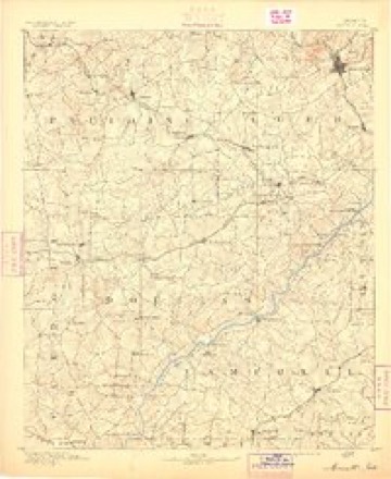
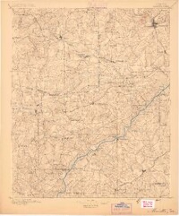
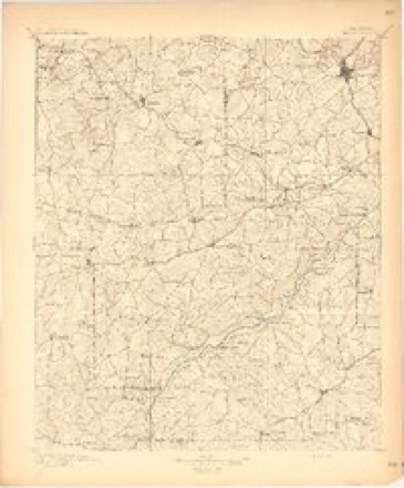
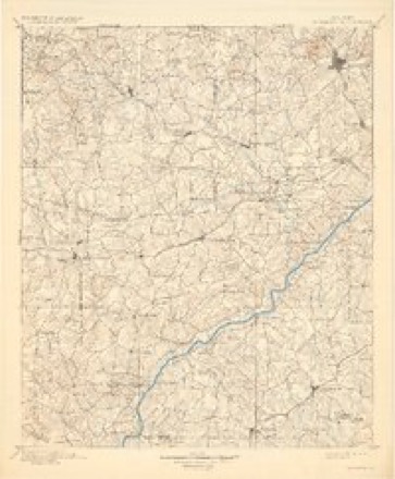
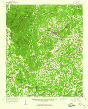
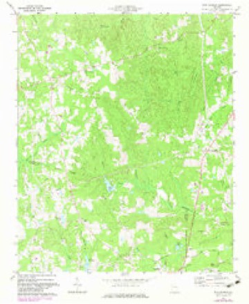
16 topographic sheets cover this place, the earliest surveyed in 1891 and the latest in 1981. It stands in the Yorkville census division. It lies in ZIP code area 30157. The Survey maps it on the New Georgia quadrangle.
Topographic sheets covering this place
10 surveys from 16 printed sheetsMatched by testing this settlement's coordinate against the published boundary of every sheet in the United States Geological Survey's historical collection. Each opens the scanned sheet at the Survey.
- 1891 USGS Marietta quadrangle1:125000
- 1895 USGS Marietta quadrangle1:125000
- 1897 USGS Marietta quadrangle1:125000
- 1901 USGS Marietta quadrangle1:125000, 4 printings
- 1953 USGS Atlanta quadrangle1:250000, 2 printings
- 1957 USGS Atlanta quadrangle1:250000
- 1958 USGS Atlanta quadrangle1:250000
- 1958 USGS Dallas quadrangle1:62500, 2 printings
- 1973 USGS New Georgia quadrangle1:24000, 2 printings
- 1981 USGS Atlanta quadrangle1:100000




Fires near this place
328 since 1992Regional context, not property-specific evidence. The federal wildfire occurrence database lists 328 fires within 5 miles of Bud between 1992 and 2020, burning about 1,022 acres in total. 7 started naturally. 94 were recorded as arson. Distance is straight-line from the map coordinates, so a fire counted here may appear on a neighbouring settlement's page as well.
| Reported cause | Fires |
|---|---|
| Debris and open burning | 161 |
| Arson/incendiarism | 94 |
| Misuse of fire by a minor | 23 |
| Missing data/not specified/undetermined | 18 |
| Equipment and vehicle use | 11 |
| Recreation and ceremony | 9 |
| Natural | 7 |
| Smoking | 4 |
| Railroad operations and maintenance | 1 |
The most recent of them, most recent first, with the day each was reported and the service that recorded it.
| Date | Cause | Size | Reported by | Name on the report |
|---|---|---|---|---|
| 8 September 2002 | Debris and open burning | under an acre | Georgia Forestry Commission | FY2003-PAULDING-013 |
| 8 September 1997 | Arson/incendiarism | under an acre | Georgia Forestry Commission | not named |
| 7 September 1998 | Debris and open burning | under an acre | Georgia Forestry Commission | not named |
| 6 September 2003 | Equipment and vehicle use | under an acre | Georgia Forestry Commission | not named |
| 6 September 1997 | Arson/incendiarism | under an acre | Georgia Forestry Commission | not named |
| 6 September 1997 | Arson/incendiarism | under an acre | Georgia Forestry Commission | not named |
| 5 September 2007 | Equipment and vehicle use | under an acre | Georgia Forestry Commission | not named |
| 30 September 2008 | Arson/incendiarism | 6.6 acres | Georgia Forestry Commission | not named |
Settlements close enough to share some of these fires:
Mines and quarries near this place
10 within 5 milesRegional context, not property-specific evidence. The federal mineral resources record lists 10 workings within 5 miles of Bud: 4 prospects, 3 past producers, 3 occurrences. None of them still produces. What was taken out: Mica, Sulfur, Iron-Pyrite, Gold. Distance is straight-line from the map coordinates, so a quarry counted here may appear on a neighbouring settlement's page as well.
| Where | Site | Commodity | Status | Recorded |
|---|---|---|---|---|
| Yorkville Mine | Gold, Silver | Past Producer | Vein | |
| Askew Prospect (Wisdom) | Iron-Pyrite | Occurrence | Vein | |
| Helms Prospect | Iron-Pyrite | Past Producer | Pyrite | |
| A Jones Prospect | Sulfur | Prospect | ||
| C B Mcgarity Prospect | Sulfur | Prospect | ||
| Helms Prospect | Sulfur | Prospect | ||
| C H Miller Deposit | Mica | Occurrence | ||
| Cole Mine | Mica | Past Producer | ||
| Imel Pit | Mica | Occurrence | ||
| W J Miller Prospect | Mica | Prospect |
Storms near this place
13 since 2009Regional context, not property-specific evidence. The National Weather Service names Bud in 13 storm reports between 2009 and 2025: 8 thunderstorm wind, 3 flash flood, 2 hail. No death or injury is recorded in these reports. Each account below is quoted exactly as the forecast office filed it, from the NOAA Storm Events Database, and each date opens the federal record of that event.
| When | Event | Place named | Harm | What the report says |
|---|---|---|---|---|
| September 2009 | Flash Flood | Bud | $200,000 | Paulding county Emergency Management personnel reported that flash flooding continued to expand and worsen across much of the county during this time frame. Multiple road closures and a number of flash flood and high water rescues were conducted during this time frame. However, no deaths were reported in Paulding county from the flash flooding. Damage to roads and bridges continued to expand||As repeated thunderstorms with heavy rain tracked across the area from the southwest, numerous major roads were blocked by high water, including U.S. Highway 278 and Georgia Highway 92 near Hiram. More than 69 roads were eventually closed across the county. The county court house and at least two convenience stores on Georgia Highway 92 were closed because of flooding. Schools were closed for several days because of flooded roads.||County emergency management personnel reported that 37 vehicles were rescued from flood waters and 46 residents of the county fell victim to rising flood waters and had to be rescued from peril. Fifteen individuals were removed from their homes because of rising flood waters. Two residents were electrocuted in flood waters by lightning strikes, but were not killed. Three homes suffered wall collapses from flood waters. At least eight gas leaks were caused by flood waters and eight power lines were either brought down or affected by trees downed in water logged soils.||During this time frame, flood damage was estimated to be $200,000. |
| September 2009 | Flash Flood | Bud | $40,000 | Paulding county Emergency Management personnel, local law enforcement, broadcast media, and newspapers reported that the historical and record flash flooding began to impact the southern portion of Paulding county during this time frame as repeated thunderstorms tracked across the area from the southwest. The most significant flooding during this time period was associated with Sweetwater Creek, which began its climb to record flood stage. By 1030 pm EDT, Sweetwater Creek near Brownsville and the Cobb/Paulding county line rose above flood stage. Several roads, culverts, and some bridges were beginning to flood during this time frame. Flood damage in southern Paulding county through 1100pm EST was estimated to be near $40,000. |
| August 2020 | Thunderstorm Wind | Bud | $20,000 | The Paulding County Emergency Manager reported numerous trees and some power lines blown down across the county. |
| May 2017 | Thunderstorm Wind | Bud | $10,000 | The Paulding County 911 center reported numerous trees and power lines blown down across the county from southwest through northeast of Dallas. Locations include Mulberry Rock Road at Harmony Road and at New Georgia Road, Glenn Eagles Way at Dallas Nebo Road, East Paulding Drive and Crow Circle, and Highway 92 at Due West Road. |
| June 2025 | Thunderstorm Wind | Bud | $4,000 | Two trees and telephone pole reported down at the intersection of Ridge Rd and Villa Rica Hwy. |
| July 2024 | Thunderstorm Wind | Bud | $2,000 | A tree was downed onto power lines on Ray Cole Rd near the Ray Cole Rd extension. |
| March 2018 | Hail | Bud | $2,000 | The Paulding County Emergency Manager reported quarter size hail around the intersection of Highway 61 and Ridge Road. |
| August 2014 | Thunderstorm Wind | Bud | $1,250 | The Paulding County 911 Center reported five trees down near Highway 61 and Ridge Road. |
| March 2025 | Thunderstorm Wind | Bud | $1,000 | Tree down on the road at ray cole road and georgian parkway. |
| July 2023 | Thunderstorm Wind | Bud | $1,000 | Trees and power lines in the roadway near the intersection of Marshall Fuller Rd and Mayfield Rd. |
| July 2023 | Thunderstorm Wind | Bud | $1,000 | Powerlines down in the roadway near the intersection of Cedar Creek Dr and Villa Rica Hwy. |
| November 2018 | Flash Flood | Bud | - | Emergency Manager reported multiple roads closed across the county, largely due to small creeks overrunning their banks. These roads included but were not limited to Mulberry Road Road and Bob Hunton Road. Radar estimates indicate that 3 to 4 inches of rain, with locally higher amounts, occurred during this time. |
| April 2009 | Hail | Bud | - | The public observed half-dollar-sized hail in the far southeast corner of Paulding county near the intersection of Georgia Highway 92 and Brownsville Road. The hail fell in the area for up to seven minutes. Earlier, the public observed nickel to quarter-sized hail further west near New Georgia in south central Paulding county. In addition, a wind gust of 51 mph was measured on personal wind equipment on a private vehicle on Georgia Highway 92 at Brownsville Road. |
Nearest settlements
The eight closest, with where each one stands in the county. Distances are straight-line, computed from the Geographic Names Information System coordinates.
| Map | Place | Distance | Sheets |
|---|---|---|---|
| Rollins | 1.0 miles | 16 | |
| Mulberry Place | 2.3 miles | 16 | |
| Hollyberry | 3.0 miles | 17 | |
| Baldwin Hills | 3.1 miles | 17 | |
| Rock Springs | 3.1 miles | 16 | |
| Paces Meadows | 3.2 miles | 17 | |
| New Georgia Estates | 3.3 miles | 16 | |
| Hickory Gap | 3.3 miles | 17 |
Provenance
This settlement is recorded in the Geographic Names Information System as feature 1730669. The sheet list is computed by point-in-boundary test against the United States Geological Survey's historical topographic inventory. Both are works of the United States government and carry no copyright under 17 U.S.C. 105.
Wildfire. Short, Karen C. 2022. Spatial wildfire occurrence data for the United States, 1992-2020 [FPA_FOD_20221014]. 6th Edition. Fort Collins, CO: Forest Service Research Data Archive. https://doi.org/10.2737/RDS-2013-0009.6 Collected with United States Government funding and usable without additional permissions or fees.
Mines and quarries. USGS Mineral Resources Data System (MRDS) https://mrdata.usgs.gov/mrds/ A work of the United States government, no copyright under 17 U.S.C. 105.
Storms. NOAA National Centers for Environmental Information, Storm Events Database https://www.ncei.noaa.gov/stormevents/ A work of the United States government, no copyright under 17 U.S.C. 105. Narratives are quoted verbatim from the National Weather Service report and are not edited or summarised.