 Block
From the record
4 National Register listings published here.
Sources: the National Register database, National Park Service
81 topographic sheets and 7 fire insurance atlases across 1 place.
4 National Register listings published here.
Sources: the National Register database, National Park Service
Every property in this county listed on the National Register of Historic Places, with the year it was listed and the federal nomination document.
| Photograph | Property | Type | Listed | Reference |
|---|---|---|---|---|
 | Fannin-Cooper Farm | district | 2012 | 12000411 |
 | Hiram Colored School | building | 2001 | 01000494 |
 | Paulding County Courthouse | building | 1980 | 80001218 |
 | Pickett's Mill Battlefield Site | site | 1973 | 73000637 |
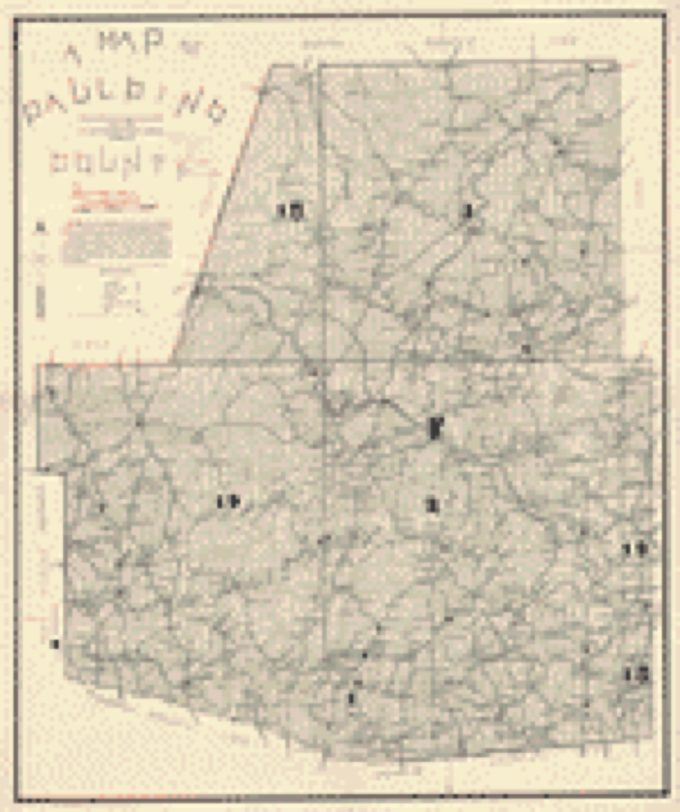
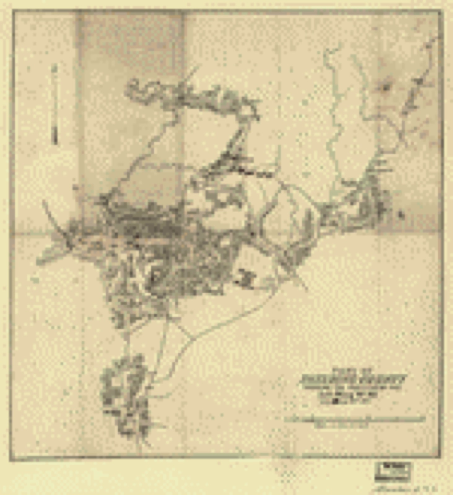
Drawn when these were printed as single large sheets: the town seen from the air, and the county divided into its farms with every owner named. Each opens the original at the Library of Congress.
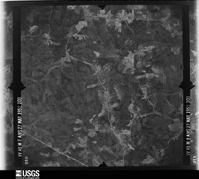
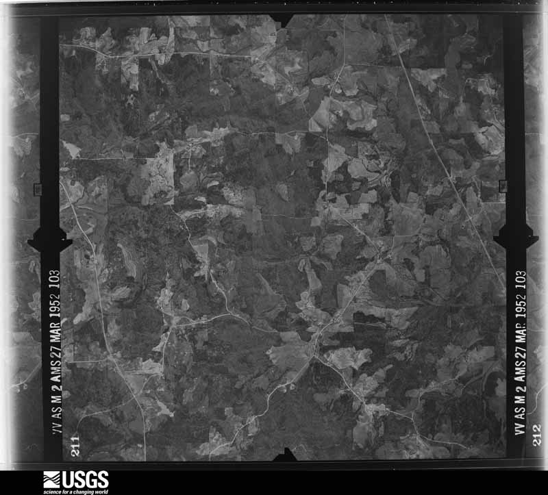
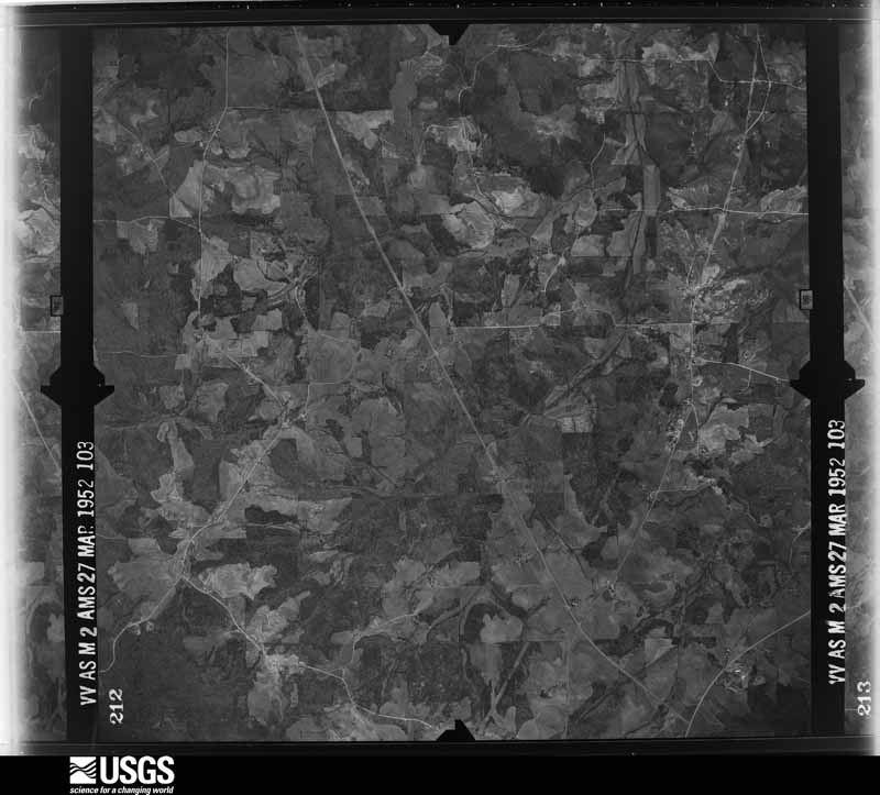
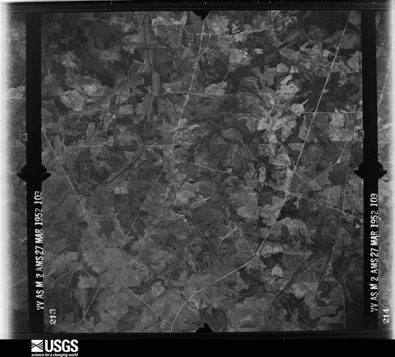
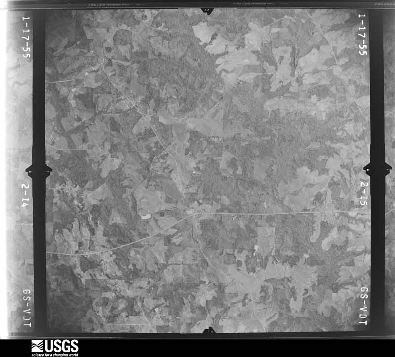
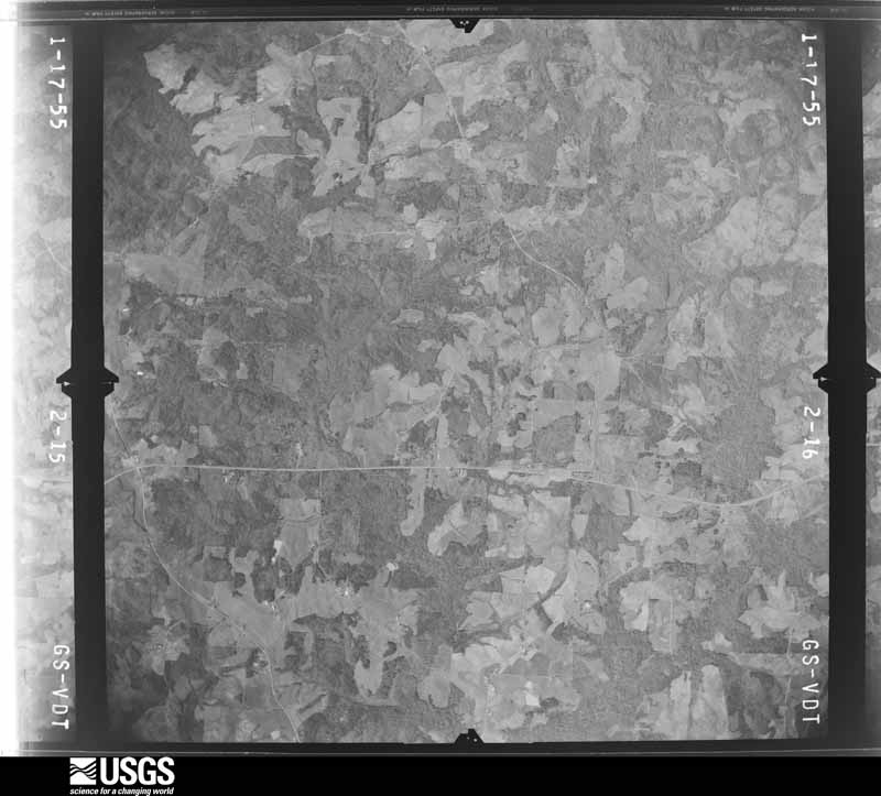
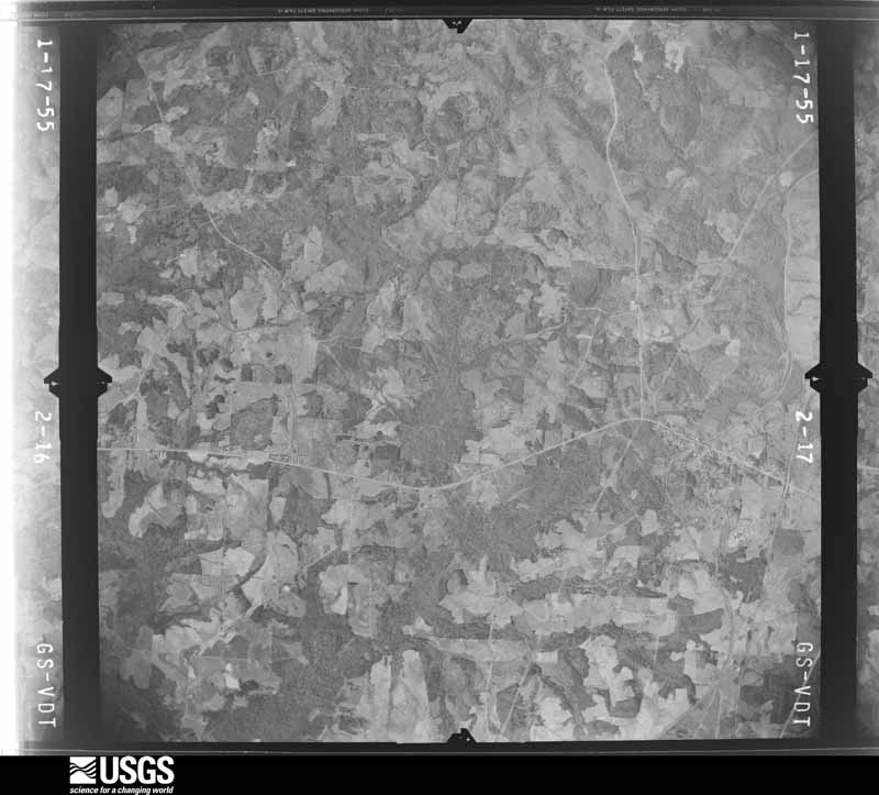
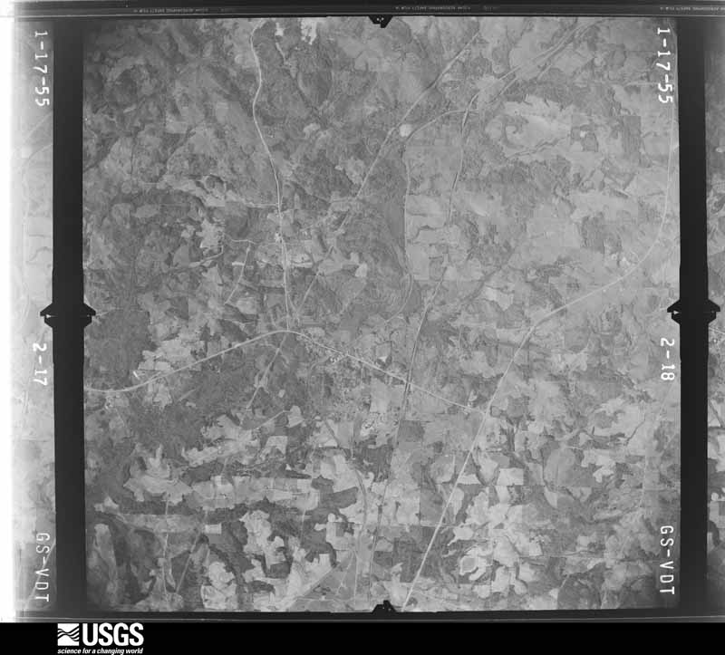
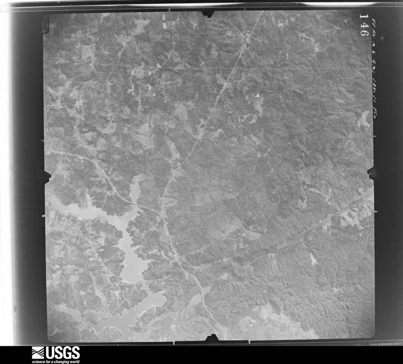
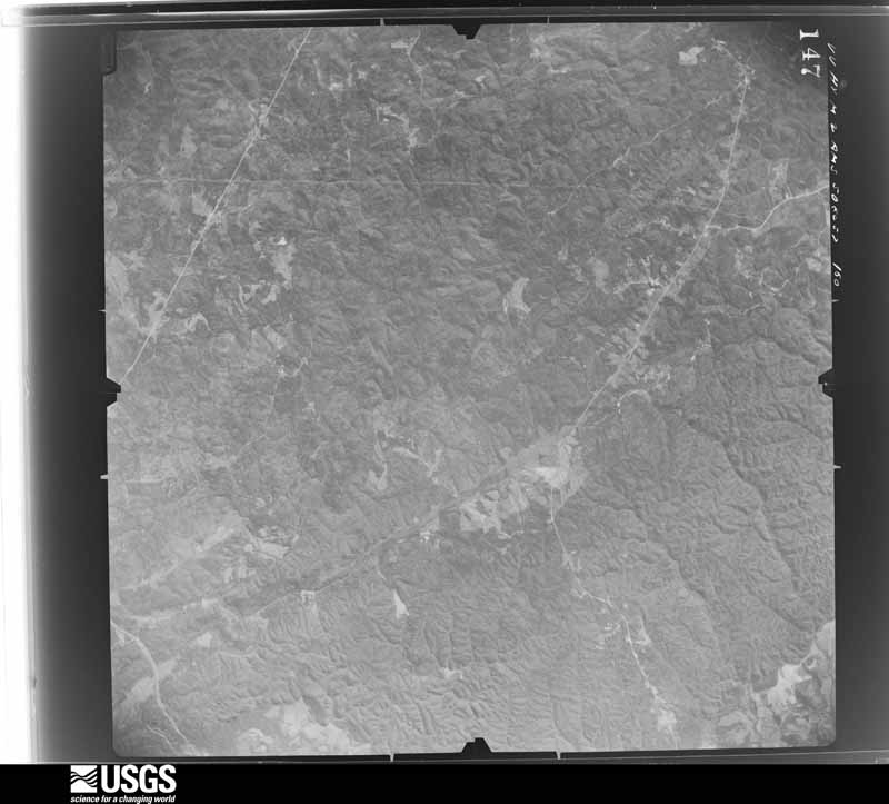
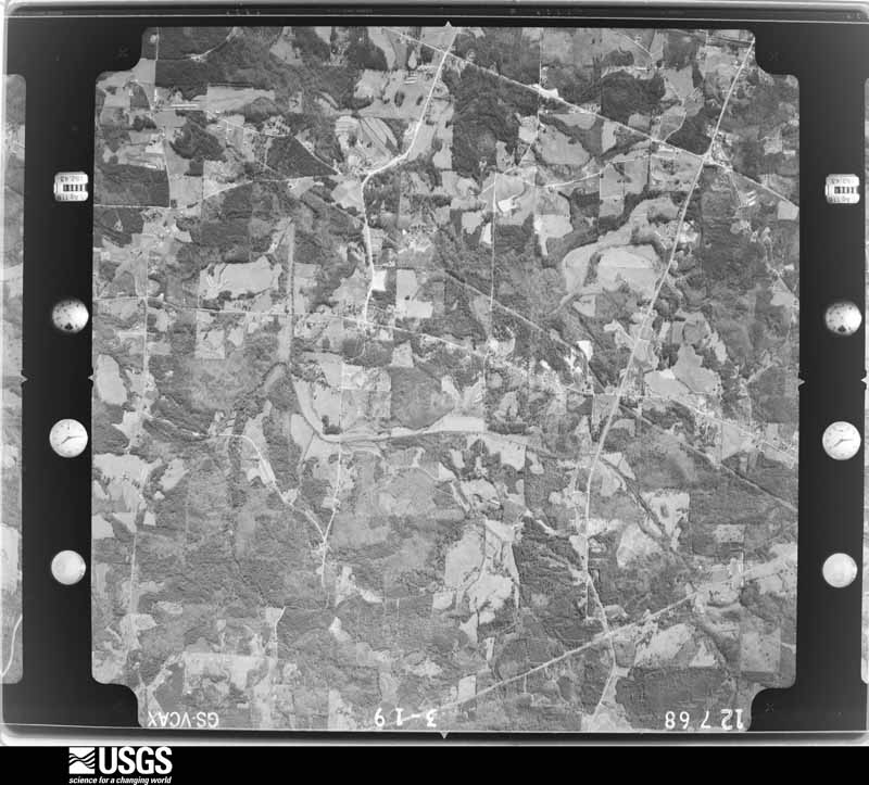
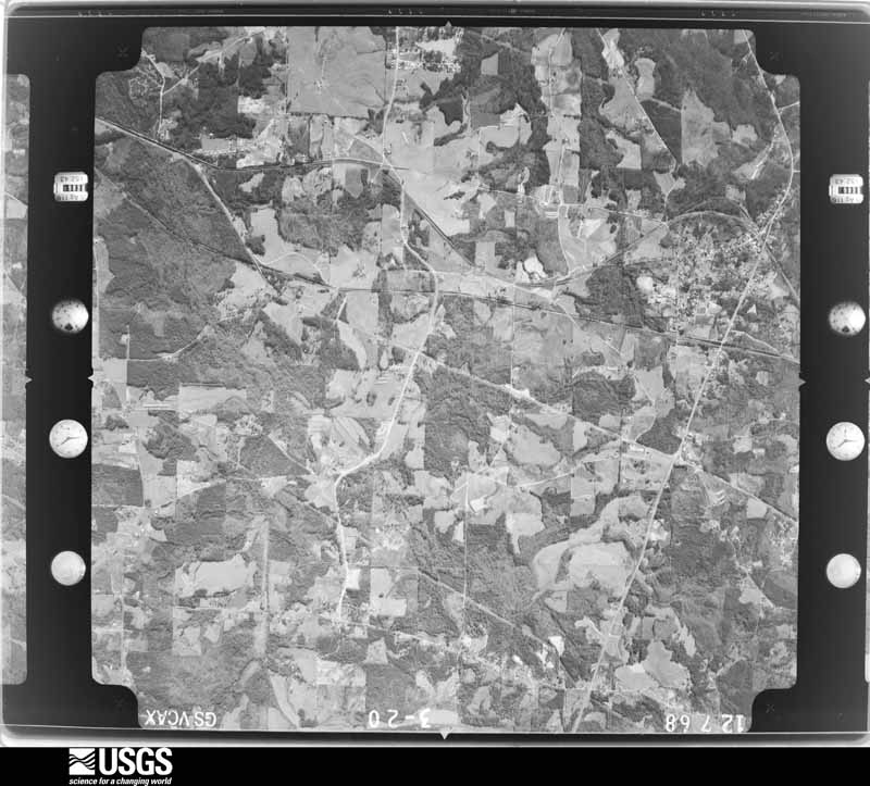
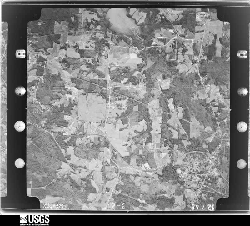
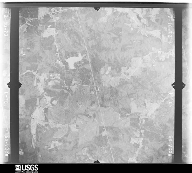
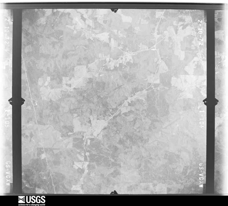
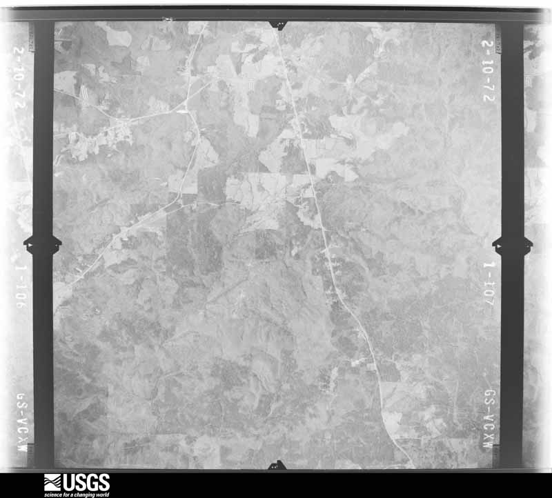
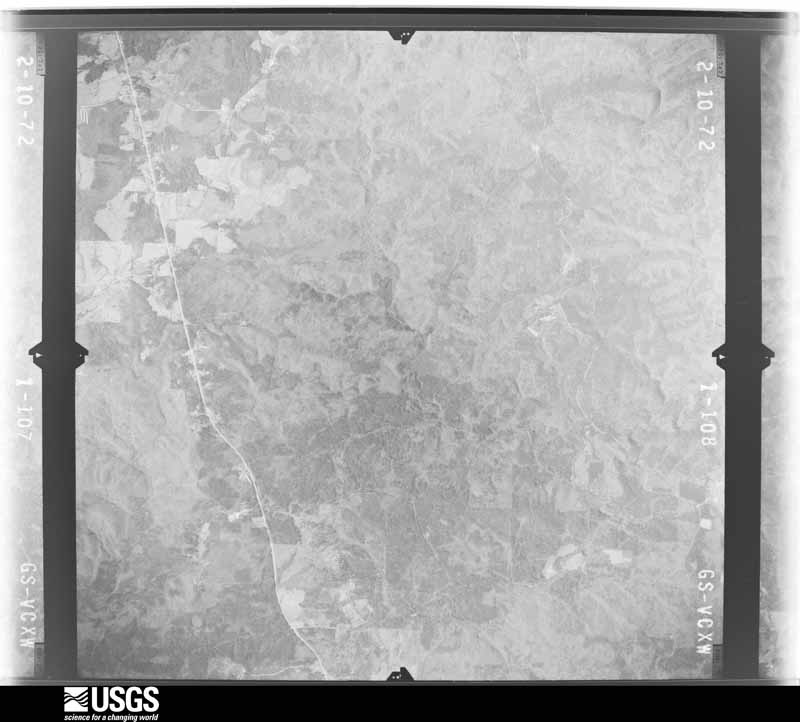
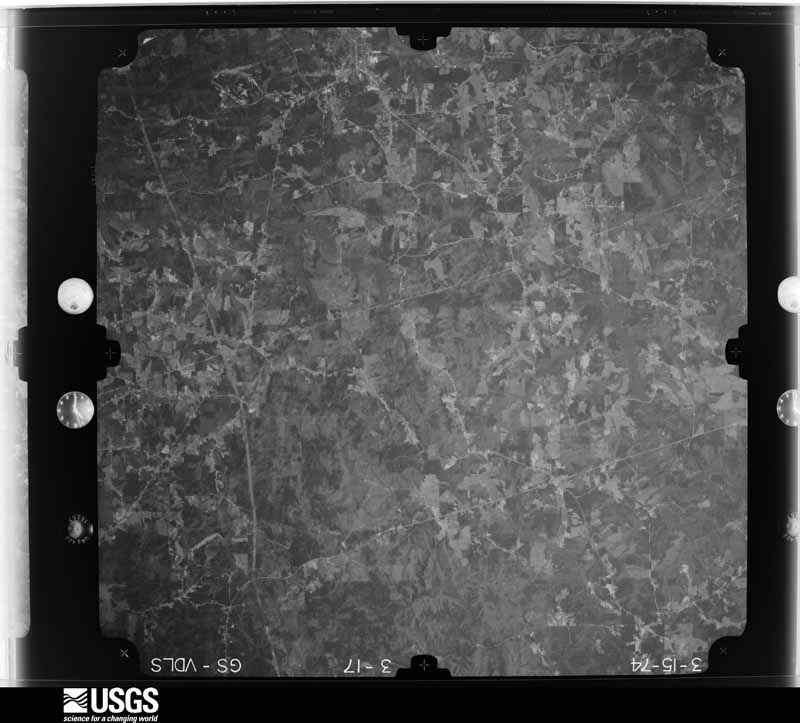
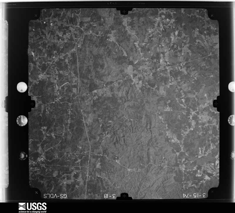
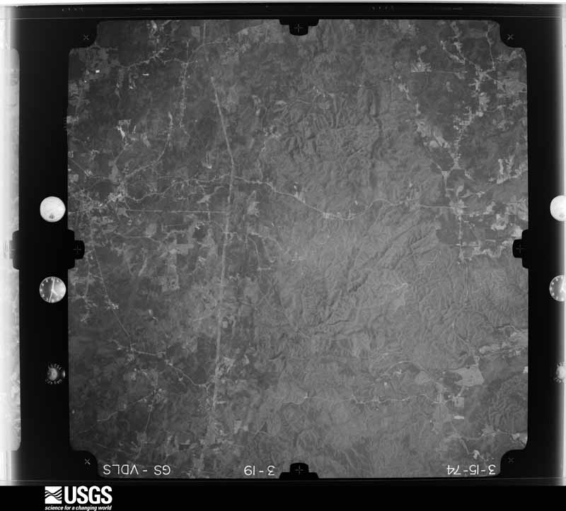
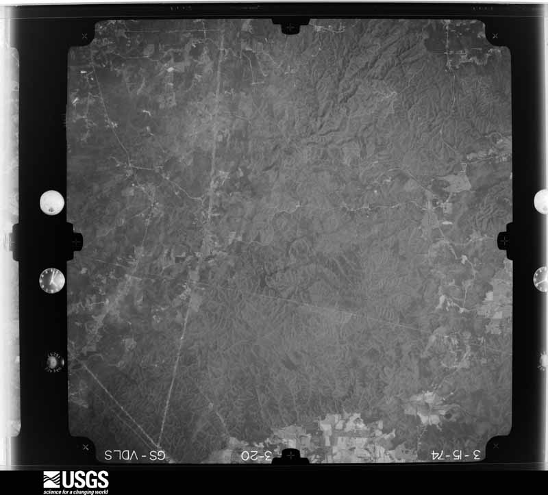
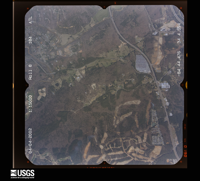
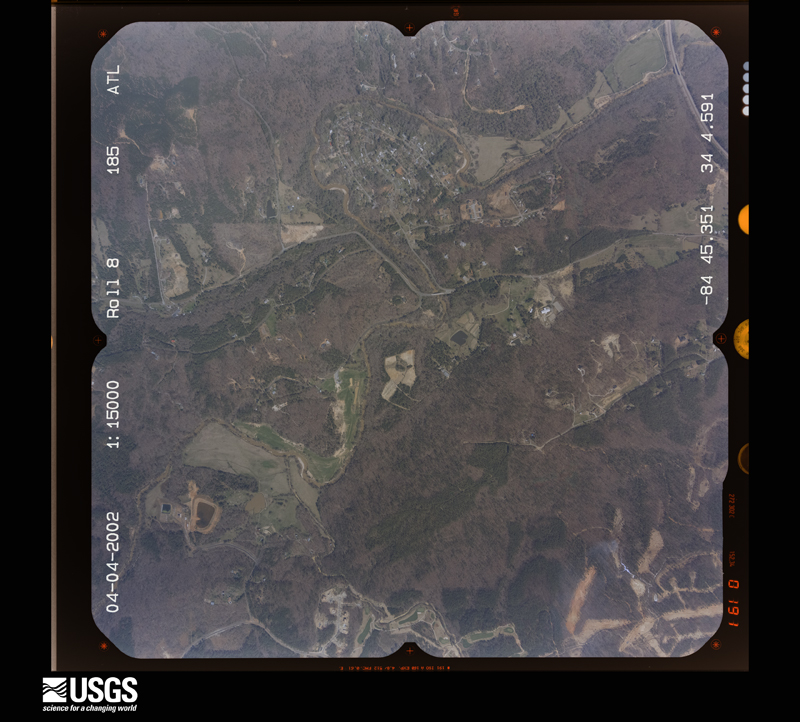
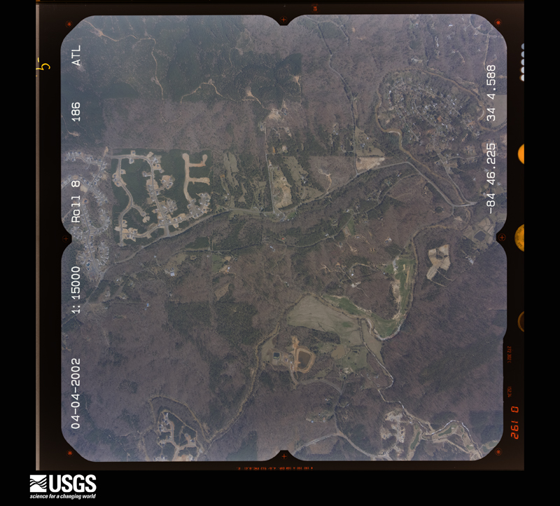
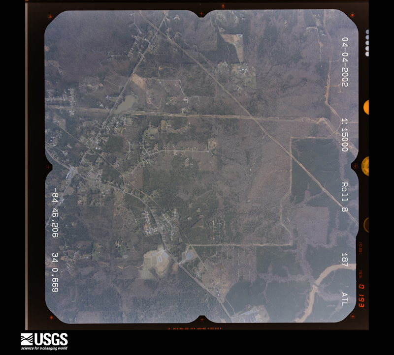
Flown by the U.S. Geological Survey between 1937 and 1989, the Aerial Photo Single Frames collection is the definitive mid-century view of the land: fields, roads and rivers as the camera saw them. The Survey holds 878 frames inside the rectangle that bounds this county; the 41 frames below were taken over the county itself, chosen across the decades of flights (at most four a year from that rectangle), so one flight cannot crowd out the rest. The full set is free to browse and download at EarthExplorer under the dataset Aerial Photo Single Frames.




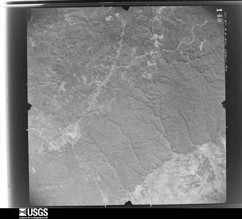
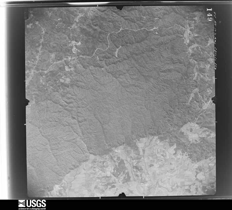
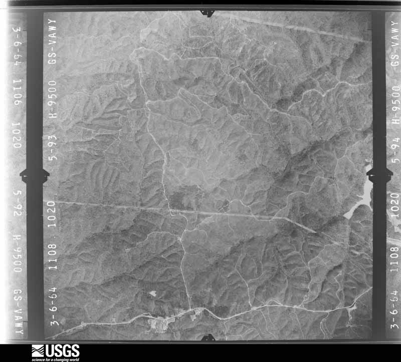
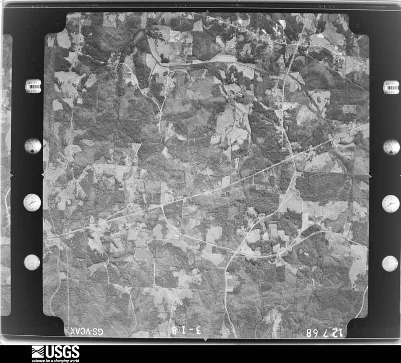








The thermometers that kept this county's weather, and the gages that measured the flow of its streams, as the federal records hold them. The extremes below are measured values from those records, not estimates.
Who lived here in 1950, one enumeration district at a time, as the Census Bureau described each district. Each row opens its official National Archives result, with Population Schedules and ED Maps available there.
Every wildfire the federal occurrence database records inside this county: 1,557 of them, burning about 5,166 acres. 26 started naturally and 500 were recorded as arson. Each settlement page carries the fires within five miles of it.
| Reported cause | Fires |
|---|---|
| Debris and open burning | 715 |
| Arson/incendiarism | 500 |
| Missing data/not specified/undetermined | 84 |
| Misuse of fire by a minor | 79 |
| Equipment and vehicle use | 62 |
| Railroad operations and maintenance | 45 |
| Recreation and ceremony | 34 |
| Natural | 26 |
| Smoking | 12 |
The five largest, by the area the report gives. Four of them were set deliberately.
| Date | Cause | Size | Reported by | Name on the report |
|---|---|---|---|---|
| 26 November 2012 | Debris and open burning | 519 acres | Georgia Forestry Commission | FY2013-PAULDING-016 |
| 15 March 1994 | Railroad operations and maintenance | 347 acres | Georgia Forestry Commission | not named |
| 16 September 1999 | Arson/incendiarism | 141 acres | Georgia Forestry Commission | not named |
| 9 June 2012 | Arson/incendiarism | 134 acres | Georgia Forestry Commission | FY2012-PAULDING-021 |
| 10 February 2007 | Arson/incendiarism | 91 acres | Georgia Forestry Commission | not named |
| 11 March 2012 | Arson/incendiarism | 89 acres | Georgia Forestry Commission | FY2012-PAULDING-016 |
| 8 November 2016 | Misuse of fire by a minor | 62 acres | Georgia Forestry Commission | FY2017-PAULDING-026 |
| 29 November 2019 | Debris and open burning | 62 acres | Georgia Forestry Commission | FY2020PAULDING006 |
Every settlement page carries the fires within five miles of it - see the settlement index below.
The NOAA Storm Events Database holds 352 reports for this county, causing 2 deaths, 15 injuries and about $24,911,950 in recorded property damage. Each settlement page carries the reports that name it.
| Kind of event | Reports |
|---|---|
| Thunderstorm Wind | 226 |
| Hail | 78 |
| Flash Flood | 19 |
| Lightning | 13 |
| Tornado | 10 |
| Flood | 5 |
| Funnel Cloud | 1 |
The most serious of them, by death, then injury, then recorded damage. The accounts are quoted exactly as the forecast office filed them.
| When | Event | Place named | Harm | What the report says |
|---|---|---|---|---|
| September 2023 | Lightning | Crowville | 1 killed | Lightning struck a person while playing golf on September 12, 2023. Unfortunately, the person passed away several days later. Very little media attention existed at the time of occurrence. A reporter from St. Louis was doing a follow-up story on this with the family and notified the appropriate NWS personnel months later. |
| May 2004 | Lightning | Hiram | 1 killed | The Atlanta-Journal/Constitution reported that a 37-year old male was struck and killed by lightning while outside working at the Metromont Materials Concrete Plant. |
| April 1974 | Tornado (F2) | not stated | 8 hurt | no account filed |
| August 2009 | Lightning | Braswell | 1 hurt, $250,000 | The Paulding County Emergency Management Director reported that at least nine homes across the county were struck by lightning. Two of these lightning strikes resulted in fires and damage to the structures. In addition, one individual approximately three miles north-northeast of New Georgia was injured as a result of a lightning strike. Lightning also struck a power line approximately three miles north-northeast of New Georgia in the southern part of the county, causing the power line to fall. |
| April 1971 | Tornado (F3) | not stated | 1 hurt, $250,000 | no account filed |
| April 1980 | Tornado (F1) | not stated | 1 hurt, $25,000 | no account filed |
| June 2022 | Thunderstorm Wind | Oberlochen | 1 hurt | Report of tree down on car near intersection of Bakers Bridge Rd and Rocky Ridge Rd. |
| November 2015 | Lightning | Sudie | 1 hurt | A local Atlanta television news station reported a man injured by a lightning strike near Meadow Lark after lightning struck a nearby power line and travelled through the ground to where the man was standing. The injuries were reported to be minor. |
| June 2000 | Lightning | Dallas | 1 hurt | The Atlanta Journal and Constitution reported that a woman was injured when lightning struck the computer on which she was working. |
| July 2000 | Lightning | Dallas | 1 hurt | Channel 2 (WSB TV) in Atlanta reported that a child was struck and injured by lightning. |
| March 2012 | Tornado (EF2) | Beulah | $11,000,000 | The Haralson County tornado entered northwest Paulding County near Yorkville around 8:28 PM. Numerous roads were closed due to debris. Three miles south of Yorkville there was an overturned RV, and a box truck was impaled by a 2-by-4. A residential neighborhood was hit, damaging several homes and destroying one. The most significant damage occurred at the new Paulding County Regional Airport, where maximum wind speeds were estimated at near 135 MPH. A hangar was destroyed and 19 of 23 planes were totaled, including a Citation jet. Damage was sustained to the terminal and other airport property, such as fences and lamp posts, as well. East of the airport, a church lost its roof. Poole Elementary School had a partial roof failure and at least one wall blown out. The portion of the roof that blew off was found across the campus. Six modular classrooms were destroyed as well. Additional homes were damaged as the tornado continued east, finally lifting near McClure Trail and McClure Drive around 8:50 PM. The Georgia Emergency Management Agency reported that in Paulding County, 92 homes sustained minor damage, 58 sustained moderate damage, and 10 were destroyed. The total path length for both counties was 29 miles.||[03/02/12: Tornado #1, County #2-2, EF2, Paulding, 2012:005]. |
| September 2009 | Flood | Union | $2,480,000 | As was the case with the neighboring northwest Atlanta metropolitan counties of Carroll, Douglas, and Cobb, initial flash flooding evolved into a record and catastrophic flood event across the southeast part of Paulding county as well. Extensive damage to roads and bridges were observed in this portion of the county. Many creeks and streams rose well above flood stage and remained so for over a day. Many homes and business sustained significant damage. Several high water rescues had to be performed during the height of the flooding and subsequent hours, but fortunately no deaths occurred in Paulding county from the flooding. Monetary damage to property and roads was estimated to be at least $2,000,000.||Numerous major roads were blocked by high water, including U.S. Highway 278 and Georgia Highway 92 near Hiram. More than 69 roads were closed across the county. The county court house and at least two convenience stores on Georgia Highway 92 were closed because of flooding. Schools were closed for several days because of flooded roads.||County emergency management personnel reported that 37 vehicles were rescued from flood waters and 46 residents of the county fell victim to rising flood waters and had to be rescued from peril. Fifteen individuals were removed from their homes because of rising flood waters. Two residents were electrocuted in flood waters by lightning strikes, but were not killed. Three homes suffered wall collapses from flood waters. At least eight gas leaks were caused by flood waters and eight power lines were either brought down or affected by trees downed in water logged soils.||Damage from initial flash flooding and subsequent flooding was estimated to be close to $2.5 million. Again, the majority of this damage occurred in the southeast part of the county near the Douglas and Cobb county borders. |
| April 2017 | Hail | Union | $1,400,000 | The Paulding County Emergency Manager reported golf ball size hail near the intersection of Highway 101 and Highway 120. |
| April 2011 | Hail | Hiram | $1,400,000 | The public observed golf ball-sized hail in the McClendon Creek subdivision. The only area of the county where WSR-88D radar data suggested that hail of this size would have occurred was near Browning in the far southeast part of the county. |
| June 2011 | Hail | Yorkville | $1,400,000 | The public observed golf ball-sized hail in the eastern part of Paulding county near Hiram and a cooperative observer reported quarter-sized hail near New Hope. This was the second severe thunderstorm to move across Paulding county this evening. WSR-88D radar data strongly suggested that hail of quarter-size or larger likely impacted a large portion of the county from Yorkville to Hiram. |
| June 2011 | Hail | Dallas | $1,400,000 | The Paulding County 911 Center reported golf ball-sized hail near Hiram as yet another round of thunderstorms tracked across the county from west to east. |
| September 2009 | Flood | Union | $1,280,000 | Paulding county emergency management personnel and USGS stream gages confirmed that record to catastrophic flooding continued across much of the county, especially the southeast portion. Hundreds of homes, apartments, businesses, and roads sustained damages from flooding. A number of culverts and/or bridges were washed out and several roads were closed. Flood waters began to recede after 830 am EDT on the 22nd. However, many locations remained in moderate to major flood until 715 am EDT on the 23rd. Monetary damage from flooding continued to mount, with damages exceeding $1.25 million during this time frame. |
| January 2020 | Thunderstorm Wind | Beulah | $500,000 | Numerous reports were received from the Paulding County Emergency Manager, the public and local news media of trees, power lines and signs blown down as well as wind damage to the roofs of some homes and businesses across the county in a swath at least 15 miles wide from just east of Draketown to east of Wood Valley. Several homes and businesses also received damage from trees falling onto the structures. No injuries were reported. |
| June 1994 | Hail | Hiram | $500,000 | Golfball size hail caused paint damage to nearly 30 vehicles. |
| August 2005 | Tornado (F0) | Nebo | $400,000 | The Paulding County Emergency Management Director reported that an F0 tornado touched down in the New Georgia Meadows Subdivision, about 1/2 mile southeast of the intersection of Nebo Road and Georgia Highway 61. This is about one mile north of the town of New Georgia. The tornado then traveled northwest crossing Georgia Highway 61 and eventually crossing Marshall Fuller Road, just west of Georgia Highway 61. The tornado dissipated as it crossed Nebo Road just west of Marshall Fuller Road about 1/2 mile west of Georgia Highway 61. The tornado path length was one mile with a maximum path width of 50 yards. Considerable damage was done to homes, vehicles, and trees in the area. Fifteen homes were damaged where the tornado first touched down in the New Georgia Meadows Subdivision, mostly on Brittaney Drive and Amanda Drive. Then 14 homes were damaged in the north part of Oak Leaf Township, mostly on Oak Leaf Drive, White Leaf Drive, and Red Leaf Drive. Next, the Crossroads Church sustained minor roof damage and a good number of trees were uprooted or blown down at the intersection of Georgia Highway 61 and Mayfield Road. As the tornado crossed Georgia Highway 61, six homes were damaged. A mobile home was damaged as the tornado crossed Marshall Fuller Road. Finally, six homes were damaged on Nebo Road where the tornado dissipated. All together, 45 homes and 12 vehicles were damaged along with extensive damage to trees and other landscaping in the area. However, damage was reported to be mostly minor to moderate, with none of the damaged structures rendered inhabitable. |
| September 2009 | Lightning | Dallas | $300,000 | Paulding County Emergency Management personnel reported that at least ten lightning strike incidents were documented across the county during the late evening and early morning hours of thunderstorms and flash flooding. At least two of the lightning strikes resulted in structural fires. In addition, two Paulding county individuals were electrocuted by lightning in flood waters, but were not killed during the incidents. |
| July 2008 | Lightning | Dallas | $250,000 | The Paulding County Emergency Management Director reported that lightning struck several homes across mostly the northern half of the county causing structural fires. |
| December 1973 | Tornado (F1) | not stated | $250,000 | no account filed |
| April 1956 | Tornado (F2) | not stated | $250,000 | no account filed |
| September 2009 | Flash Flood | Bud | $200,000 | Paulding county Emergency Management personnel reported that flash flooding continued to expand and worsen across much of the county during this time frame. Multiple road closures and a number of flash flood and high water rescues were conducted during this time frame. However, no deaths were reported in Paulding county from the flash flooding. Damage to roads and bridges continued to expand||As repeated thunderstorms with heavy rain tracked across the area from the southwest, numerous major roads were blocked by high water, including U.S. Highway 278 and Georgia Highway 92 near Hiram. More than 69 roads were eventually closed across the county. The county court house and at least two convenience stores on Georgia Highway 92 were closed because of flooding. Schools were closed for several days because of flooded roads.||County emergency management personnel reported that 37 vehicles were rescued from flood waters and 46 residents of the county fell victim to rising flood waters and had to be rescued from peril. Fifteen individuals were removed from their homes because of rising flood waters. Two residents were electrocuted in flood waters by lightning strikes, but were not killed. Three homes suffered wall collapses from flood waters. At least eight gas leaks were caused by flood waters and eight power lines were either brought down or affected by trees downed in water logged soils.||During this time frame, flood damage was estimated to be $200,000. |
| October 2010 | Lightning | New Hope | $150,000 | The Paulding County Emergency Management Director reported that a structure in the northeast part of the county, just northeast of New Hope was destroyed by a lightning-related fire. |
| April 2011 | Thunderstorm Wind | Braswell | $100,000 | The Paulding County 911 Center and amateur radio operators reported that dozens of trees and a number of power lines were down across the county. Some of the worst damage was noted along Buchanan Highway west of Dallas and toward Burnt Hickory Ridge north of Dallas. Amateur radio operators reported that the roof was blown off the Holy Cross Lutheran Church in Hiram. |
| July 2000 | Thunderstorm Wind | Countywide | $55,000 | A variety of sources, including the Georgia Emergency Management Association, an amateur radio operator, local Atlanta TV stations, and the general public, reported downed trees, power lines, and structural damage throughout Paulding county. Most of the damage was concentrated from Dallas to Hiram near Georgia Highways 6 and 92. In addition to the numerous reports of downed trees and power lines, 8 buildings sustained minor damage near the intersection of Harris Road and Georgia Highway 6, the siding was blown off a house on Georgia Highway 92 near the Paulding/Cobb county line, and a large pine tree damaged a house chimney near the Carroll county line north of Villa Rica. |
| April 2021 | Thunderstorm Wind | Union | $50,000 | The Paulding County Emergency Manager reported numerous trees and power lines blown down across the southern half of the county in a swath around 5 to 10 miles wide from the Draketown area to Dallas, Hiram and Floral Path. |
| August 2021 | Lightning | Crowville | $50,000 | The Paulding County Emergency Manager reported that lightning caused a structure fire on Pine Ridge Path near Seven Hills Boulevard. |
| January 2020 | Tornado (EF0) | Brock | $50,000 | A National Weather Service survey team found that an EF0 tornado with maximum wind speeds of 85 mph and a maximum path width of 400 yards touched down north of Hiram along Macland Road just west of Hiram-Acworth Highway. The tornado traveled east-northeast with mostly weak and intermittent damage, the most notable occurring on Cristy Drive where a dozen large trees were snapped or uprooted. One tree fell on the master bedroom of a 2-story home. The tornado continued causing sporadic damage as it moved east-northeast crossing into western Cobb County near the intersection of Poplar Springs Road and Puryear Path. [01/11/20: Tornado #1, County #1/2, EF-0, Paulding/Cobb, 2020:001]. |
| April 2006 | Thunderstorm Wind | Dallas | $50,000 | Amateur radio operators, the public, and an off duty weather observer for the Atlanta Hartsfield-Jackson International Airport reported that many trees were down throughout much of central, east central, and southeast Paulding county. This included areas northwest of Dallas, Dallas, and New Hope. Tree damage was observed along Georgia Highway 92 between Dallas , Hiram, and the southeast corner of the county, on Braswell Mountain Road, and on Due West and Bobo Roads. At least eight homes in the Steeple Chase area, in the Due West and Bobo Road areas near New Hope, sustained minor roof damage or siding damage. The observer from the Atlanta airport estimated the wind gusts at 60 mph. |
| June 1994 | Thunderstorm Wind | At 2.5 Southwest | $50,000 | Straight line thunderstorm winds downed several large trees and limbs along Georgia Highways 120 and 120 Connector. Two homes received moderate roof and antenna damage while one double-wide trailer received slight damage. A few cars had their windshields smashed from wind toppled trees. |
| September 2009 | Flash Flood | Bud | $40,000 | Paulding county Emergency Management personnel, local law enforcement, broadcast media, and newspapers reported that the historical and record flash flooding began to impact the southern portion of Paulding county during this time frame as repeated thunderstorms tracked across the area from the southwest. The most significant flooding during this time period was associated with Sweetwater Creek, which began its climb to record flood stage. By 1030 pm EDT, Sweetwater Creek near Brownsville and the Cobb/Paulding county line rose above flood stage. Several roads, culverts, and some bridges were beginning to flood during this time frame. Flood damage in southern Paulding county through 1100pm EST was estimated to be near $40,000. |
| January 2007 | Thunderstorm Wind | Hiram | $35,000 | The Paulding County 911 Center reported that over two dozen trees and a number of power lines were down in the south and southeast part of the county from New Georgia to Hiram. Some minor structural damage was also reported. Most of the damage occurred in the Hiram area. Much of the Hiram area was without power at the time as well. |
| February 2025 | Thunderstorm Wind | Vinson | $30,000 | Several trees down including one on a house and car and several powerlines down just west of yorkville. |
| June 2020 | Thunderstorm Wind | Nebo | $30,000 | The Paulding County Emergency Manager reported a few trees blown down in the eastern portion of the county. One tree fell onto a home, no injuries were reported. |
| March 2021 | Thunderstorm Wind | Nebo | $25,000 | The Paulding County Emergency Manager reported several trees blown down and a fence damaged along Wayne Meadows Court. Debris from the fence was blown into, and embedded in, the siding of a home along Wayne Meadows Court. |
| April 2019 | Thunderstorm Wind | Nebo | $25,000 | The Paulding County Emergency Manager reported numerous trees and power lines blown down from southeast of Dallas through northeast of Dallas. |
| June 2008 | Lightning | New Hope | $25,000 | The Paulding County 911 Center reported that two structures were set on fire by lightning. Damage amounts were not specified. |
| May 2003 | Flash Flood | Countywide | $25,000 | The Paulding county 911 center reported that many roads around the county were flooded. |
| August 2020 | Thunderstorm Wind | Bud | $20,000 | The Paulding County Emergency Manager reported numerous trees and some power lines blown down across the county. |
| June 2019 | Thunderstorm Wind | Pumpkin | $20,000 | The Paulding County Emergency Manager reported several trees and power lines blown down from around Dallas into the northeastern corner of the county. |
| March 2018 | Thunderstorm Wind | New Hope | $20,000 | The Paulding County Emergency Manager reported multiple trees blown down near the intersection of Mount Tabor Church Road and East Paulding Drive and an awning damaged by the winds at the C. A. Roberts Elementary School nearby. |
| September 1996 | Thunderstorm Wind | Dallas | $20,000 | no account filed |
| June 2019 | Thunderstorm Wind | Brock | $15,000 | Reports of a few smaller trees blown down around Merchants Drive and Ridge Run Drive. Social media reported a home was struck by a falling tree on Ridge Run Drive, but unknown extent of damage. |
| June 2011 | Thunderstorm Wind | Remus | $15,000 | The Paulding County 911 Center reported widespread damage to trees across the county. Dozens of trees were down across the county. |
| May 1996 | Thunderstorm Wind | Countywide | $15,000 | no account filed |
| February 2025 | Thunderstorm Wind | Nebo | $10,000 | Numerous trees down including one on a home in the area encompassed by bakers bridge rd, ridge rd, sweetwater church rd, and hwy 92. |
| June 2023 | Thunderstorm Wind | Sudie | $10,000 | Public report of a tree and powerlines fell onto a vehicle off Mustang Drive near Villa Rica Hwy. |
| August 2020 | Thunderstorm Wind | Nebo | $10,000 | The Paulding County Emergency Manager reported several trees and power lines blown down in the southern end of the county in the Brownsville area. |
| June 2020 | Thunderstorm Wind | Union | $10,000 | The Paulding County Emergency Manager reported trees and power lines blown down across the county from the southwest corner along Ragan drive northeast across Dallas on Wagon Trail Circle, Summer Creek Cove and Old Hickory Way and into the northeast portion of the county near the intersection of Ferguson Place and Cochran Road. |
| July 2019 | Lightning | Roxana | $10,000 | The Paulding County Emergency Manager reported a house fire caused by lightning in the 600 block of Old Dallas Acworth Road. |
| June 2019 | Thunderstorm Wind | Etta | $10,000 | The Paulding County Emergency Manager reported a tree blown down onto a home around the intersection of Colbert Road and Crowe Road. |
| May 2017 | Thunderstorm Wind | Bud | $10,000 | The Paulding County 911 center reported numerous trees and power lines blown down across the county from southwest through northeast of Dallas. Locations include Mulberry Rock Road at Harmony Road and at New Georgia Road, Glenn Eagles Way at Dallas Nebo Road, East Paulding Drive and Crow Circle, and Highway 92 at Due West Road. |
| July 2015 | Thunderstorm Wind | Dallas | $10,000 | The Paulding County Emergency Manager reported a large tree and numerous power lines blown down on Merchants Drive near Dallas. |
| June 2005 | Thunderstorm Wind | Dallas | $10,000 | The local newspaper from Dallas reported that thunderstorm winds destroyed a Burger King sign, causing pieces of it to fall on and damage a car. |
| July 2003 | Thunderstorm Wind | Countywide | $10,000 | The Paulding county 911 center reported that a number of trees had been blown down throughout the county. The public reported that some trees were down across Poplar Springs Road in Hiram. |
| April 1998 | Thunderstorm Wind | Dallas | $10,000 | Thunderstorm winds damaged roofs and knocked several trees down in the community of New Georgia. |
| March 2021 | Thunderstorm Wind | Divide | $8,000 | The Paulding County Emergency Manager reported trees and power lines blown down across the northern half of the county from near Braswell across Westfork to east of Burnt Hickory Farms. |
The Survey's mineral resources record lists 57 workings inside this county. None of them still produces: all are closed or unrecorded. Each settlement page carries the workings within five miles of it.
| Commodity | Workings |
|---|---|
| Gold | 17 |
| Sulfur | 16 |
| Mica | 9 |
| Manganese | 5 |
| Iron-Pyrite | 3 |
| Copper | 3 |
| Iron-Pyrite, Zinc | 2 |
| Stone, Crushed/Broken | 2 |
| Iron-Pyrite, Sulfur | 1 |
| Zinc | 1 |
| Nickel, Cobalt | 1 |
| Silver | 1 |
| Lead, Zinc | 1 |
| Copper, Sulfur, Zinc | 1 |
The least common of them first, because a county's hundredth gravel pit says nothing its first ten did not.
| Where | Site | Commodity | Status | Recorded |
|---|---|---|---|---|
| Coggins and Smith Prospect | Iron-Pyrite, Sulfur, Zinc | Occurrence | Massive Sulfide | |
| Little Bob Mine | Copper, Iron-Pyrite, Zinc, Nickel, Cobalt | Past Producer | 1860, 1920 | |
| Little Bob Mine | Copper, Sulfur, Zinc | Past Producer | ||
| Mcgarrity Prospect | Gold, Lead, Zinc | Past Producer | Vein | |
| Turner Prospect | Mica, Feldspar | Prospect | ||
| Yorkville Mine | Gold, Silver | Past Producer | Vein | |
| Gamel Quarry | Stone, Crushed/Broken | Past Producer | ||
| Paulding County Mine | Stone, Crushed/Broken | Past Producer | ||
| Shirley Mine | Iron-Pyrite, Zinc | Occurrence | Massive Sulfide | |
| Askew Prospect (Wisdom) | Iron-Pyrite | Occurrence | Vein | |
| Berg Prospect | Iron-Pyrite, Copper | Occurrence | Pyrite | |
| Helms Prospect | Iron-Pyrite | Past Producer | Pyrite | |
| Swift Prospect | Copper | Prospect | ||
| Cochran Property | Manganese | Prospect | 1918 | |
| Crowley Property | Manganese | Occurrence | 1919 | |
| Douglas Prospects | Manganese | Past Producer | 1896 | |
| Estes Property | Manganese | Unknown | 1919 | |
| Kirk Property | Manganese | Occurrence | 1919 | |
| C H Miller Deposit | Mica | Occurrence | ||
| Choran Prospect | Mica | Prospect | ||
| Cole Mine | Mica | Past Producer | ||
| Dean Mine | Mica | Past Producer | ||
| Imel Pit | Mica | Occurrence | ||
| Petty Prospect | Mica | Prospect | ||
| Poole Prospect | Mica | Prospect | ||
| W J Miller Prospect | Mica | Prospect | ||
| A Jones Prospect | Sulfur | Prospect | ||
| Berg Prospect | Sulfur | Prospect | ||
| C B Mcgarity Prospect | Sulfur | Prospect | ||
| C D Allgood Prospect | Sulfur | Prospect | ||
| Dever Prospect | Sulfur | Prospect | ||
| Don Watson Prospect | Sulfur | Prospect | ||
| Fred Dukes Prospect | Sulfur | Prospect | ||
| Helms Prospect | Sulfur | Prospect | ||
| Henry Winn Mine | Sulfur | Past Producer | ||
| Jack Moon Heirs Prospect | Sulfur | Prospect | ||
| Mammoth Prospect | Sulfur | Prospect | ||
| Mrs Dora Vaughan Prospect | Sulfur | Prospect | ||
| Mrs Sunie Clay Prospect | Sulfur | Prospect | ||
| Rush-Banks Prospect | Sulfur | Prospect | ||
| S O Brown Prospect | Sulfur | Prospect | ||
| W P Hutcheson Prospect | Sulfur | Prospect | ||
| Dr. Parker's Property | Gold | Past Producer | ||
| Dunaway Mine | Gold | Past Producer | Vein | |
| Hobbs | Gold | Prospect | Vein | |
| Hodges | Gold | Prospect | Vein | |
| Mathews Property | Gold | Past Producer | Stream Placer | |
| Merrit Prospect | Gold | Prospect | Vein | |
| Michigan Au Mining Company | Gold | Prospect | Vein | |
| N.Dockery | Gold | Prospect | Vein | |
| No Name | Gold | Past Producer | Vein | |
| No Name | Gold | Past Producer | Stream Placer | |
| Russell | Gold | Prospect | Vein | |
| Schofield Mine | Gold | Past Producer | Stream Placer | |
| Sheffield & Heidt Property | Gold | Past Producer | Vein | |
| Shirley Mine | Gold | Past Producer | ||
| T.Willery | Gold | Prospect | Vein |
Named settlements recorded in the Geographic Names Information System, each with the topographic sheets covering it. Villages, hamlets and abandoned places alike. Each is shown with the nearest named watercourse or landform and the survey quadrangle it falls on. The 1 place that was also surveyed for fire insurance comes first, with the number of atlases and photographs held for them.
Dallas census division · 30132 · On Weaver Creek · Dallas quadrangle
17 sheets, 1891 to 1981
Fire insurance: 7 atlases
North Paulding census division · 30132 · Near Elsberry Mountain · Dallas quadrangle
17 sheets, 1891 to 1981
North Paulding census division · 30101 · On Westbrook Creek · Acworth quadrangle
24 sheets, 1890 to 1992
Hiram census division · 30141 · On Lick Log Creek · Nebo quadrangle
17 sheets, 1891 to 1981
Hiram census division · 30157 · On Shed Creek · Nebo quadrangle
17 sheets, 1891 to 1981
North Paulding census division · 30132 · On Pegamore Creek · Taylorsville quadrangle
18 sheets, 1890 to 1981
Dallas census division · 30132 · Near Ray Mountain · Dallas quadrangle
17 sheets, 1891 to 1981
North Paulding census division · 30132 · On Lawrence Creek · Dallas quadrangle
17 sheets, 1891 to 1981
North Paulding census division · 30132 · On Goodwin Branch · Burnt Hickory Ridge quadrangle
18 sheets, 1890 to 1981
North Paulding census division · 30132 · On Dunaway Branch · Burnt Hickory Ridge quadrangle
18 sheets, 1890 to 1981
North Paulding census division · 30101 · On Westbrook Creek · Acworth quadrangle
24 sheets, 1890 to 1992
North Paulding census division · 30101 · On McEvers Branch · Burnt Hickory Ridge quadrangle
18 sheets, 1890 to 1981
Dallas census division · 30132 · On Griffin Creek · Dallas quadrangle
17 sheets, 1891 to 1981
Hiram census division · 30141 · On Lick Log Creek · Nebo quadrangle
17 sheets, 1891 to 1981
Dallas census division · 30157 · Near Elsberry Mountain · Dallas quadrangle
17 sheets, 1891 to 1981
Dallas census division · 30157 · Near Elsberry Mountain · Dallas quadrangle
17 sheets, 1891 to 1981
North Paulding census division · 30132 · On Picketts Mill Creek · Burnt Hickory Ridge quadrangle
18 sheets, 1890 to 1981
North Paulding census division · 30132 · On Picketts Mill Creek · Burnt Hickory Ridge quadrangle
18 sheets, 1890 to 1981
North Paulding census division · 30101 · On Little Pumpkinvine Creek · Burnt Hickory Ridge quadrangle
18 sheets, 1890 to 1981
Hiram census division · 30141 · On Lick Log Creek · Nebo quadrangle
17 sheets, 1891 to 1981
Dallas census division · 30132 · Near Elsberry Mountain · Dallas quadrangle
17 sheets, 1891 to 1981
Hiram census division · 30141 · On Lick Log Creek · Dallas quadrangle
17 sheets, 1891 to 1981
North Paulding census division · 30153 · Near Brushy Mountain · Yorkville quadrangle
16 sheets, 1891 to 1981
North Paulding census division · 30157 · Lost Mountain quadrangle
17 sheets, 1891 to 1992
North Paulding census division · 30132 · On Possum Creek · Dallas quadrangle
17 sheets, 1891 to 1981
No longer a settlement
Hiram census division · 30127 · On Lick Log Creek · Austell quadrangle
20 sheets, 1891 to 1999
North Paulding census division · 30132 · On Bone Creek · Dallas quadrangle
17 sheets, 1891 to 1981
Hiram census division · 30127 · On Lick Log Creek · Austell quadrangle
20 sheets, 1891 to 1999
North Paulding census division · 30101 · Acworth quadrangle
24 sheets, 1890 to 1992
Hiram census division · 30141 · On Davis Mill Creek · Nebo quadrangle
17 sheets, 1891 to 1981
Hiram census division · 30141 · On Lick Log Creek · Austell quadrangle
20 sheets, 1891 to 1999
Hiram census division · 30141 · On Lick Log Creek · Austell quadrangle
20 sheets, 1891 to 1999
Dallas census division · 30132 · On Griffin Creek · Dallas quadrangle
17 sheets, 1891 to 1981
Hiram census division · 30127 · On Mill Creek · Austell quadrangle
20 sheets, 1891 to 1999
Yorkville census division · 30157 · On Shed Creek · Nebo quadrangle
17 sheets, 1891 to 1981
North Paulding census division · 30132 · Dallas quadrangle
17 sheets, 1891 to 1981
Hiram census division · 30127 · On Lick Log Creek · Austell quadrangle
20 sheets, 1891 to 1999
Dallas census division · 30132 · Near Elsberry Mountain · Dallas quadrangle
17 sheets, 1891 to 1981
Dallas census division · 30132 · On Weaver Creek · Yorkville quadrangle
16 sheets, 1891 to 1981
Dallas census division · 30157 · Lost Mountain quadrangle
17 sheets, 1891 to 1992
North Paulding census division · 30157 · Dallas quadrangle
17 sheets, 1891 to 1981
Dallas census division · 30132 · Near Ray Mountain · Dallas quadrangle
17 sheets, 1891 to 1981
Dallas census division · 30132 · On Weaver Creek · Dallas quadrangle
17 sheets, 1891 to 1981
Yorkville census division · 30157 · Near Mulberry Rock · New Georgia quadrangle
16 sheets, 1891 to 1981
Dallas census division · 30157 · Near Elsberry Mountain · Dallas quadrangle
17 sheets, 1891 to 1981
Hiram census division · 30141 · On Davis Mill Creek · Nebo quadrangle
17 sheets, 1891 to 1981
Yorkville census division · 30157 · Near Mulberry Rock · New Georgia quadrangle
16 sheets, 1891 to 1981
Dallas census division · 30132 · Near Elsberry Mountain · Dallas quadrangle
17 sheets, 1891 to 1981
North Paulding census division · 30132 · On Picketts Mill Creek · Burnt Hickory Ridge quadrangle
18 sheets, 1890 to 1981
Hiram census division · 30157 · On Pace Creek · Nebo quadrangle
17 sheets, 1891 to 1981
North Paulding census division · 30132 · Burnt Hickory Ridge quadrangle
18 sheets, 1890 to 1981
North Paulding census division · 30101 · Acworth quadrangle
24 sheets, 1890 to 1992
North Paulding census division · 30101 · Acworth quadrangle
24 sheets, 1890 to 1992
Hiram census division · 30127 · On Lick Log Creek · Austell quadrangle
20 sheets, 1891 to 1999
Dallas census division · 30132 · On Weaver Creek · Dallas quadrangle
17 sheets, 1891 to 1981
Dallas census division · 30132 · On Weaver Creek · Dallas quadrangle
17 sheets, 1891 to 1981
Hiram census division · 30127 · On Mill Creek · Austell quadrangle
20 sheets, 1891 to 1999
Dallas census division · 30157 · Lost Mountain quadrangle
17 sheets, 1891 to 1992
Dallas census division · 30132 · On Weaver Creek · Yorkville quadrangle
16 sheets, 1891 to 1981
North Paulding census division · 30132 · On Little Raccoon Creek · Yorkville quadrangle
16 sheets, 1891 to 1981
Hiram census division · 30134 · On Little Creek · Nebo quadrangle
17 sheets, 1891 to 1981
Dallas census division · 30132 · Near Elsberry Mountain · Dallas quadrangle
17 sheets, 1891 to 1981
Dallas census division · 30157 · On Scoggins Creek · Yorkville quadrangle
16 sheets, 1891 to 1981
Yorkville census division · 30157 · On Pace Creek · New Georgia quadrangle
16 sheets, 1891 to 1981
North Paulding census division · 30132 · On Picketts Mill Creek · Dallas quadrangle
17 sheets, 1891 to 1981
North Paulding census division · 30132 · Dallas quadrangle
17 sheets, 1891 to 1981
Dallas census division · 30157 · On Scoggins Creek · Yorkville quadrangle
16 sheets, 1891 to 1981
Hiram census division · 30141 · On Davis Mill Creek · Nebo quadrangle
17 sheets, 1891 to 1981
Hiram census division · 30141 · On Davis Mill Creek · Nebo quadrangle
17 sheets, 1891 to 1981
Yorkville census division · 30179 · On McClendon Creek · Draketown quadrangle
16 sheets, 1889 to 1981
Hiram census division · 30141 · On Lick Log Creek · Dallas quadrangle
17 sheets, 1891 to 1981
Dallas census division · 30132 · Near Ray Mountain · Dallas quadrangle
17 sheets, 1891 to 1981
Hiram census division · 30141 · On Davis Mill Creek · Nebo quadrangle
17 sheets, 1891 to 1981
Hiram census division · 30141 · On Lick Log Creek · Nebo quadrangle
17 sheets, 1891 to 1981
Yorkville census division · 30153 · On Vinson Mountain · Rockmart South quadrangle
16 sheets, 1889 to 1981
No longer a settlement
North Paulding census division · 30132 · On Raper Creek · Burnt Hickory Ridge quadrangle
18 sheets, 1890 to 1981
North Paulding census division · 30132 · On Bone Creek · Dallas quadrangle
17 sheets, 1891 to 1981
Dallas census division · 30132 · Near Elsberry Mountain · Dallas quadrangle
17 sheets, 1891 to 1981
Yorkville census division · 30153 · On Rabbit Branch · Yorkville quadrangle
16 sheets, 1891 to 1981
The vanished settlements of Paulding County: the places named above that are no longer on the map.
17 topographic sheets and 7 fire insurance atlases, 1895 to 1945