 Block
Burroughs, Georgia
17 topographic sheets cover this place, the earliest surveyed in 1944 and the latest in 1981. It stands in the Pooler-Bloomingdale census division. It lies in ZIP code area 31419. The Survey maps it on the Burroughs quadrangle.
On record in Burroughs
Buildings and businesses the archive holds for this place. Each opens its own page, with the source record it came from.
On the National Register 1 record
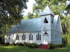 St. Bartholomew's Churchlisted 1982
Topographic sheets covering this place
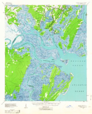
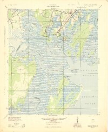
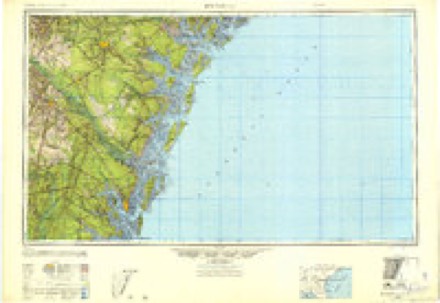
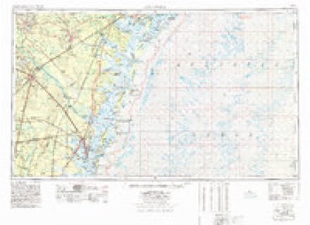
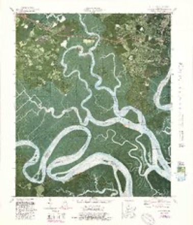
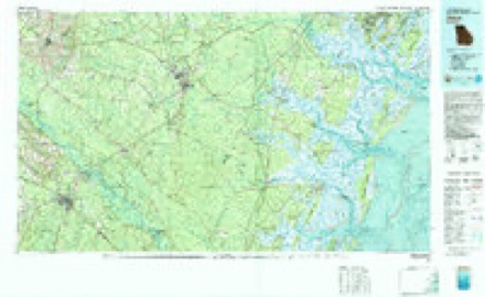
10 surveys from 17 printed sheetsMatched by testing this settlement's coordinate against the published boundary of every sheet in the United States Geological Survey's historical collection. Each opens the scanned sheet at the Survey.
- 1944 USGS Ossabaw Island quadrangle1:62500
- 1945 USGS Ossabaw Island quadrangle1:62500
- 1946 USGS Brunswick quadrangle1:250000
- 1948 USGS Brunswick quadrangle1:250000
- 1956 USGS Brunswick quadrangle1:250000, 2 printings
- 1957 USGS Burroughs quadrangle1:24000, 3 printings
- 1961 USGS Brunswick quadrangle1:250000
- 1978 USGS Brunswick quadrangle1:250000, 2 printings
- 1979 USGS Burroughs quadrangle1:24000, 4 printings
- 1981 USGS Jesup quadrangle1:100000
Fires near this place
202 since 1992Regional context, not property-specific evidence. The federal wildfire occurrence database lists 202 fires within 5 miles of Burroughs between 1992 and 2020, burning about 866 acres in total. 4 started naturally. 51 were recorded as arson. Distance is straight-line from the map coordinates, so a fire counted here may appear on a neighbouring settlement's page as well.
| Reported cause | Fires |
|---|---|
| Debris and open burning | 62 |
| Arson/incendiarism | 51 |
| Misuse of fire by a minor | 34 |
| Railroad operations and maintenance | 15 |
| Recreation and ceremony | 12 |
| Equipment and vehicle use | 11 |
| Smoking | 7 |
| Missing data/not specified/undetermined | 6 |
| Natural | 4 |
The most recent of them, most recent first, with the day each was reported and the service that recorded it.
| Date | Cause | Size | Reported by | Name on the report |
|---|---|---|---|---|
| 13 September 2006 | Debris and open burning | under an acre | Georgia Forestry Commission | not named |
| 8 August 2006 | Misuse of fire by a minor | 1.5 acres | Georgia Forestry Commission | not named |
| 5 August 2008 | Debris and open burning | under an acre | Georgia Forestry Commission | not named |
| 4 August 2012 | Natural | under an acre | Georgia Forestry Commission | FY2013-CHATHAM-003 |
| 31 August 1995 | Misuse of fire by a minor | under an acre | Georgia Forestry Commission | not named |
| 22 August 1998 | Misuse of fire by a minor | under an acre | Georgia Forestry Commission | not named |
| 18 August 2016 | Debris and open burning | 1.9 acres | Georgia Forestry Commission | FY2017-CHATHAM-003 |
| 17 August 2002 | Arson/incendiarism | 1.2 acres | Georgia Forestry Commission | FY2003-CHATHAM-001 |
Settlements close enough to share some of these fires:
Mines and quarries near this place
1 within 5 milesRegional context, not property-specific evidence. The federal mineral resources record lists 1 working within 5 miles of Burroughs: 1 producer. All of them still produce. What was taken out: Sand and Gravel, Construction. Distance is straight-line from the map coordinates, so a quarry counted here may appear on a neighbouring settlement's page as well.
| Where | Site | Commodity | Status | Recorded |
|---|---|---|---|---|
| Shuman Pit | Sand and Gravel, Construction | Producer |
Storms near this place
30 since 2003Regional context, not property-specific evidence. The National Weather Service names Burroughs in 30 storm reports between 2003 and 2025: 23 thunderstorm wind, 4 hail, 1 tornado, 1 lightning. No death or injury is recorded in these reports. Each account below is quoted exactly as the forecast office filed it, from the NOAA Storm Events Database, and each date opens the federal record of that event.
| When | Event | Place named | Harm | What the report says |
|---|---|---|---|---|
| August 2015 | Lightning | Burroughs | $20,000 | The media relayed a report of a house fire due to a lightning strike in the 100 block of Sugar Mill Drive. |
| August 2012 | Thunderstorm Wind | Burroughs | $5,000 | Multiple trees and power lines down on Waynesboro Road in the Ogeechee Farms area. |
| August 2011 | Thunderstorm Wind | Burroughs | $5,000 | A spotter reported several trees down two miles east of Richmond Hill. |
| July 2008 | Thunderstorm Wind | Burroughs | $5,000 | Trees and power lines were reported down along Gateway Boulevard, 5 miles west of the Hunter Army Airfield. Several signs were also downed by strong thunderstorm winds. |
| August 2011 | Thunderstorm Wind | Burroughs | $2,000 | Broadcast media relayed a report of trees down in Georgetown. |
| June 2010 | Thunderstorm Wind | Burroughs | $2,000 | The Chatham County Emergency Management reported powerlines down on Highway 204 near US 17. The powerlines were blocking both lanes of traffic. |
| July 2008 | Thunderstorm Wind | Burroughs | $2,000 | Trees were reported down near the Ogechee River in Burroughs, Georgia. |
| July 2012 | Thunderstorm Wind | Burroughs | $1,000 | Law Enforcement reported one tree down along the intersection of Highway 17 and Quacco Road. |
| August 2011 | Thunderstorm Wind | Burroughs | $1,000 | A county official reported a tree down at the intersection of Chevis Road and Wild Herron Road. |
| August 2012 | Thunderstorm Wind | Burroughs | $500 | One tree reported down near the 5700 block of Ogeechee Road. |
| June 2007 | Thunderstorm Wind | Burroughs | $500 | A few 6 to 8 inch diameter tree limbs were reported down near the intersection of Interstate 95 and SR 204. |
| July 2025 | Thunderstorm Wind | Burroughs | - | Chatham County Emergency Management reported a downed power line in the 300 block of Beaufort Road. |
| August 2025 | Flood | Burroughs | - | Emergency management reported a tree down on Wild Heron Road, likely due to saturated ground conditions from previous heavy rainfall. |
| May 2024 | Thunderstorm Wind | Burroughs | - | Chatham County Emergency Management Agency reported trees down on power lines in the 200 block of Wild Heron Road. |
| May 2024 | Thunderstorm Wind | Burroughs | - | Chatham County Emergency Management Agency reported a tree down across the road in the 6300 block of Chief Of Love Road. |
| August 2023 | Thunderstorm Wind | Burroughs | - | A spotter reported one tree uprooted on Chevis Road. |
| April 2021 | Thunderstorm Wind | Burroughs | - | A Chatham County emergency manager reported a tree blocking the road near the intersection of Sylvania Drive and Chevis Road. |
| May 2020 | Thunderstorm Wind | Burroughs | - | Chatham County Emergency Management reported a tree down across the roadway on Chevis Road near B Butler Road. |
| April 2019 | Thunderstorm Wind | Burroughs | - | A Chatham County emergency manager reported trees down on Cottonvale Road and Salt Landing Road. |
| January 2015 | Tornado (EF1) | Burroughs | - | The tornado initially touched down near the intersection of Berwick Boulevard and Stonebridge Circle and moved northeast through the Stonebridge neighborhood. The tornado ripped numerous shingles and vinyl siding panels off a number of houses and damaged several large wooden fences. A gazebo was damaged and a trampoline was lifted and thrown for about a quarter of a mile. High winds forced rainwater through the walls of one home and damaged the drywall and carpet. Several large trees were blown over and snapped. Quite a bit of debris was noted hanging in the trees in the back of the neighborhood. One air conditioner unit was lifted and moved several feet.||The tornado then lifted and periodically touched down between Elk Road, Moose Jaw Road and Salt Creek Road for a total path length of three miles. In these areas, large trees were either blown down or snapped, including many large grand oak trees. Two homes were damaged by falling trees. |
| April 2015 | Thunderstorm Wind | Burroughs | - | An emergency manager reported power lines down at the intersection of Chevis Road and Wild Heron Road. |
| April 2015 | Thunderstorm Wind | Burroughs | - | The media reported a tree down on King George Boulevard in Georgetown. |
| April 2015 | Thunderstorm Wind | Burroughs | - | An emergency manager reported a tree down at the 1500 block of Grove Point Road. |
| June 2015 | Hail | Burroughs | - | The public reported quarter size hail. |
| August 2014 | Thunderstorm Wind | Burroughs | - | The media reported a large tree down on a home along Parkview Road. |
| May 2012 | Hail | Burroughs | - | A trained spotter reported quarter size hail at Berwick Plantation. |
| December 2012 | Thunderstorm Wind | Burroughs | - | Broadcast media reported traffic lights blown down at the intersection of King George Blvd and Highway 204. |
| August 2010 | Hail | Burroughs | - | The media relayed a report of nickel size hail on Chavis Road. |
| September 2004 | Thunderstorm Wind | Burroughs | - | Thunderstorms winds caused significant damage to a home on Grove Point Island. |
| March 2003 | Hail | Burroughs | - | no account filed |
Nearest settlements
The eight closest, with where each one stands in the county. Distances are straight-line, computed from the Geographic Names Information System coordinates.
| Map | Place | Distance | Sheets |
|---|---|---|---|
| Ogeechee Farms | 1.1 miles | 18 | |
| Georgetown | 1.2 miles | 17 | |
| Village Green | 2.3 miles | 17 | |
| Henderson | 2.4 miles | 18 | |
| Grove Point | 2.8 miles | 17 | |
| Windward | 3.3 miles | 17 | |
| Forest River Farms | 4.0 miles | 17 | |
| Grubbs | 4.3 miles | 15 |
Provenance
This settlement is recorded in the Geographic Names Information System as feature 331291. The sheet list is computed by point-in-boundary test against the United States Geological Survey's historical topographic inventory. Both are works of the United States government and carry no copyright under 17 U.S.C. 105.
Wildfire. Short, Karen C. 2022. Spatial wildfire occurrence data for the United States, 1992-2020 [FPA_FOD_20221014]. 6th Edition. Fort Collins, CO: Forest Service Research Data Archive. https://doi.org/10.2737/RDS-2013-0009.6 Collected with United States Government funding and usable without additional permissions or fees.
Mines and quarries. USGS Mineral Resources Data System (MRDS) https://mrdata.usgs.gov/mrds/ A work of the United States government, no copyright under 17 U.S.C. 105.
Storms. NOAA National Centers for Environmental Information, Storm Events Database https://www.ncei.noaa.gov/stormevents/ A work of the United States government, no copyright under 17 U.S.C. 105. Narratives are quoted verbatim from the National Weather Service report and are not edited or summarised.