BlockBefore

Chatham County, Georgia

103 topographic sheets and 15 fire insurance atlases across 1 place.

Research this county

From the record

“Makeshift Custom Houses - Present Building Completed in 1850 - Forsyth Park - Atlantic Coast Line Railroad System - Welcome to Millard Fillmore - Another Yellow Fever Epidemic (1854) - Storm Adds Terrors to Epidemic - Resultant Sanitary Measures - Savannah Benevolent Association - Savannah's Public School System - The Massie Poor School Fund - The Massie Common School - Board of Public Education Organized (I860).”

Public Institutions And Noted Events - A History of Savannah and South Georgia (1913). Machine-read text.

80 National Register listings published here, 9 of them National Historic Landmarks · the county-history sources tell 5 stories and name 2 people · people the book names include Georgia'S Last Royal Governor (Savannah, 1913) (machine-read).

Sources: the county history on the Internet Archive · the National Register database, National Park Service

Georgia within the United States
Chatham County within Georgia
Explore by year 1734 1904

What the record shows

  • 1 place in this county was surveyed for fire insurance: Savannah, between 1884 and 1973.
  • 15 fire insurance atlases survive for the county. Topographic coverage is national; fire insurance survey reached only incorporated places with something worth insuring.
  • 2,511 topographic sheet readings cover the county's settlements.
  • 80 properties here are on the National Register of Historic Places: 49 buildings, 29 districts and 2 sites.
  • 24 of the 80 listings were added during the 1970s.
  • The Geographic Names Information System records 155 populated places in this county; 155 are covered by at least one topographic sheet.

What happened here

5 accounts

Among them: Chapter Xxxiii Public Institutions And Noted Events; Chapter Xxxvii Savannah During Civil War; Decade Of Noted Events. These passages come from the identified county-history source books. Each inset names its own source and opens the exact section it comes from.

From A History of Savannah and South Georgia, published 1913 - Savannah

Chapter Xxxiii Public Institutions And Noted Events

Makeshift Custom Houses - Present Building Completed in 1850 - Forsyth Park - Atlantic Coast Line Railroad System - AVelcome to Millard Fillmore - Another Yellow Fever Epidemic (1854) - Storm Adds Terrors to Epidemic - Resultant Sanitary Measures - Savannah Benevolent Association - Savannah's Public School System - The Massie Poor School Fund - The Massie Common School - Board of Public Education Organized (1866) 409

Read the rest of this passage

From A History of Savannah and South Georgia, published 1913 - Savannah

Chapter Xxxvii Savannah During Civil War

Mayor Purse's Report on the Progress of the War - Fall of Fort Pulaski - Holding of Fort McAllister Necessary to Defense of Savannah - Maj. John B. Gallie Killed - Address of Mayor Arnold to Citizens - Fall of Fort McAllister - Evacuation of Savannah - Special Order of Gen. Sherman - Resolutions of Council Seeking Protection of Citizens - Families of Confederate Officers Required to Leave 453

Read the rest of this passage

From A History of Savannah and South Georgia, published 1913 - Savannah

Decade Of Noted Events

Visit of Monroe and Calhoun - The New Independent Church - The Great Fire of 1820 - Yellow Fever Epidemic (also 1820) - Locating the Burial Place of Nathanael Greene - City Affairs Continued - Dry Culture Contracts - Winfield Scott and David Porter, Savannah's Guests - Reception of La Fayette - Memorials to General Greene and Count Pulaski - Mayors and Aldermen, 1821-24 - Canal Project Inaugurated - Fort Pulaski Commenced.

Read the rest of this passage

From A History of Savannah and South Georgia, published 1913 - Savannah

Public Institutions And Noted Events

Makeshift Custom Houses - Present Building Completed in 1850 - Forsyth Park - Atlantic Coast Line Railroad System - Welcome to Millard Fillmore - Another Yellow Fever Epidemic (1854) - Storm Adds Terrors to Epidemic - Resultant Sanitary Measures - Savannah Benevolent Association - Savannah's Public School System - The Massie Poor School Fund - The Massie Common School - Board of Public Education Organized (I860).

Read the rest of this passage

From A History of Savannah and South Georgia, published 1913 - Savannah

Savannah During Civil War

Mayor Purse's Report on the Progress of the War - Fall of Fort Pulaski - Holding of Fort McAllister Necessary to Defense of Savannah - Maj. John B. Gallie Killed - Address of Mayor Arnold to Citizens - Fall of Fort McAllister - Evacuation of Savannah - Special Order of Gen. Siierman - Resolutions of Council Seeking Protection of Citizens - Families of Confederate Officers Required to Leave.

Read the rest of this passage

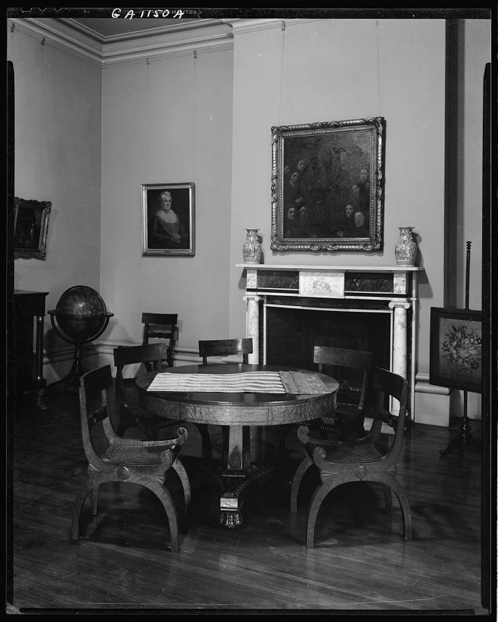
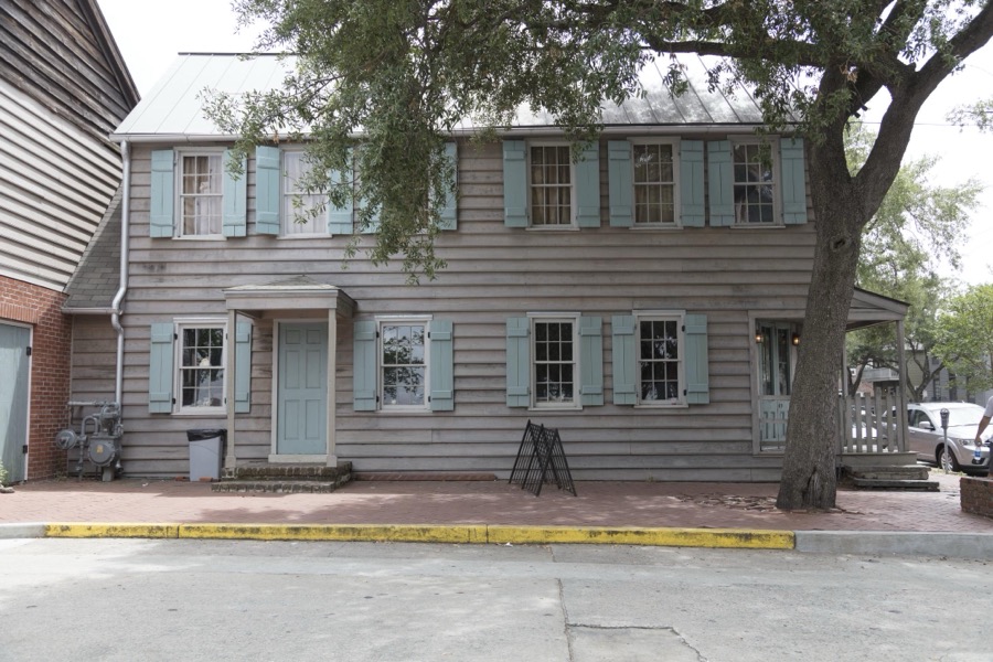
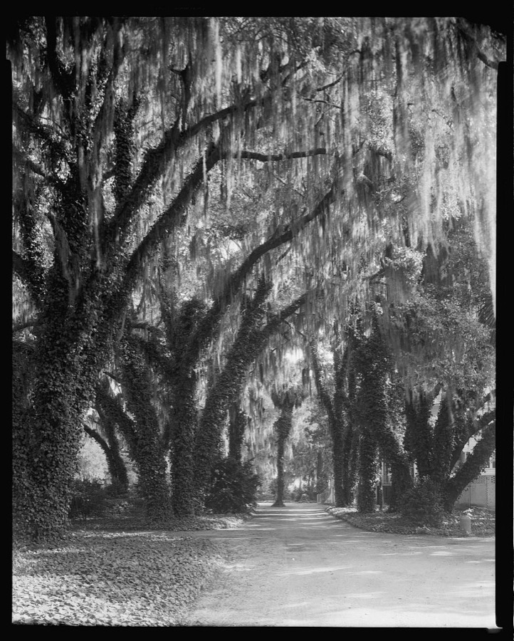
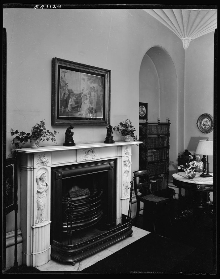
Photographs

50 photographs, 1939 to 2020

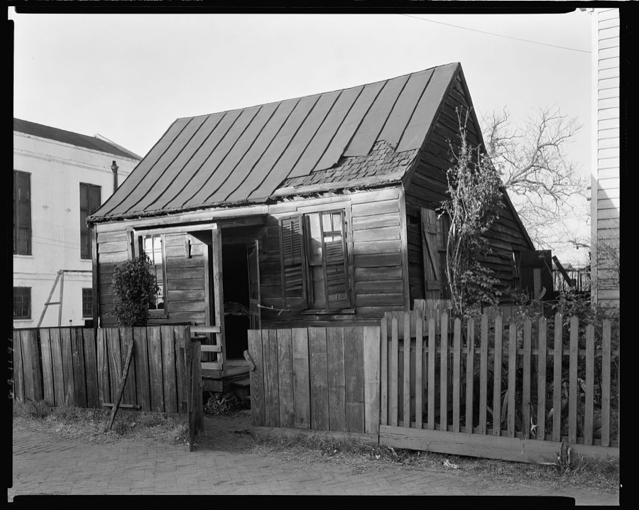
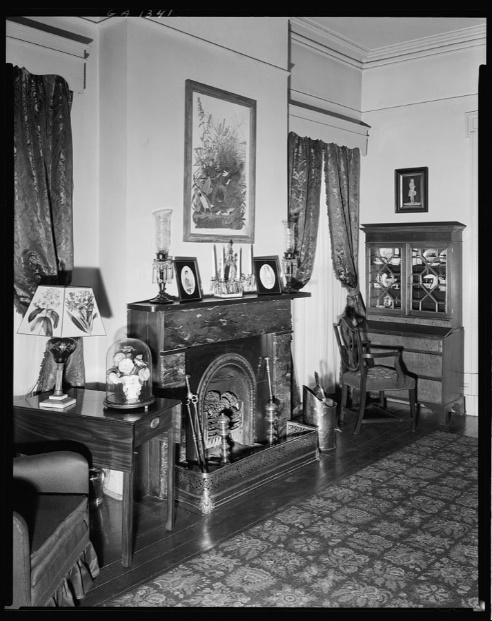
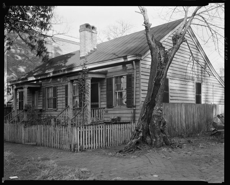
Taken for the Office of War Information and the Farm Security Administration, who photographed the country between 1935 and 1944. Works of United States government photographers, with no known restriction on use. Each opens its catalogue record.

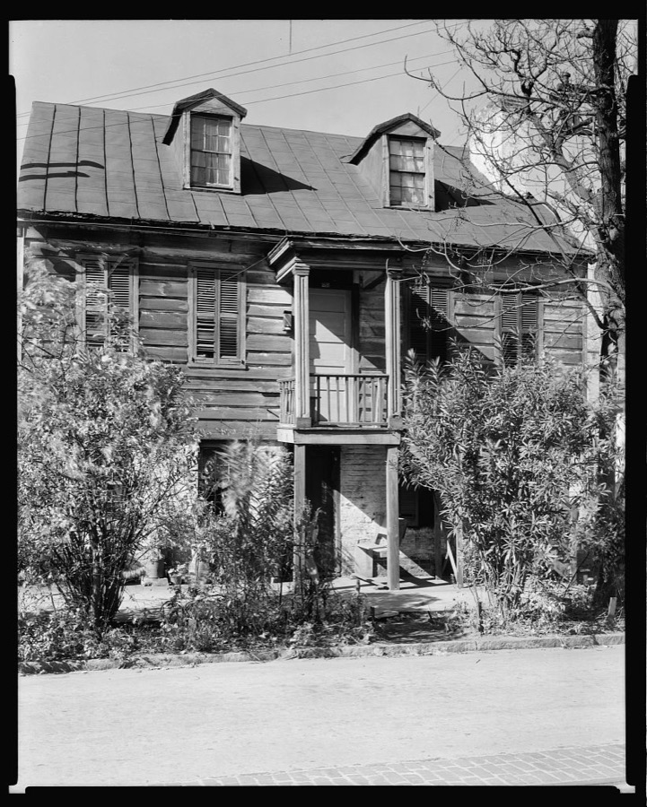
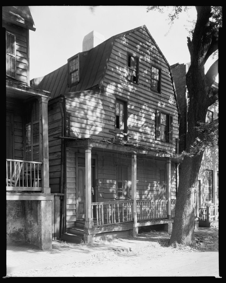
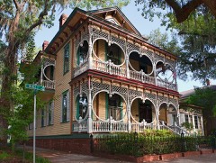
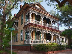
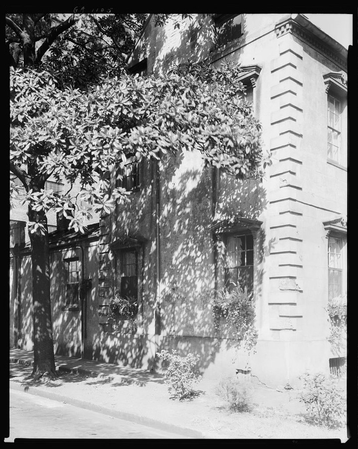
343 Habersham Street, Savannah, Chatham County, Georgia
Johnston, Frances Benjamin, 1939. Library of Congress
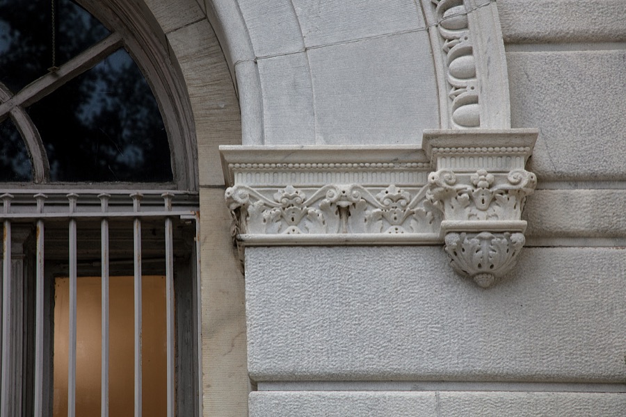
Detail of the Tomochichi Federal Building and U.S. Courthouse in Savannah, Georgia
Highsmith, Carol M, 2020. Library of Congress
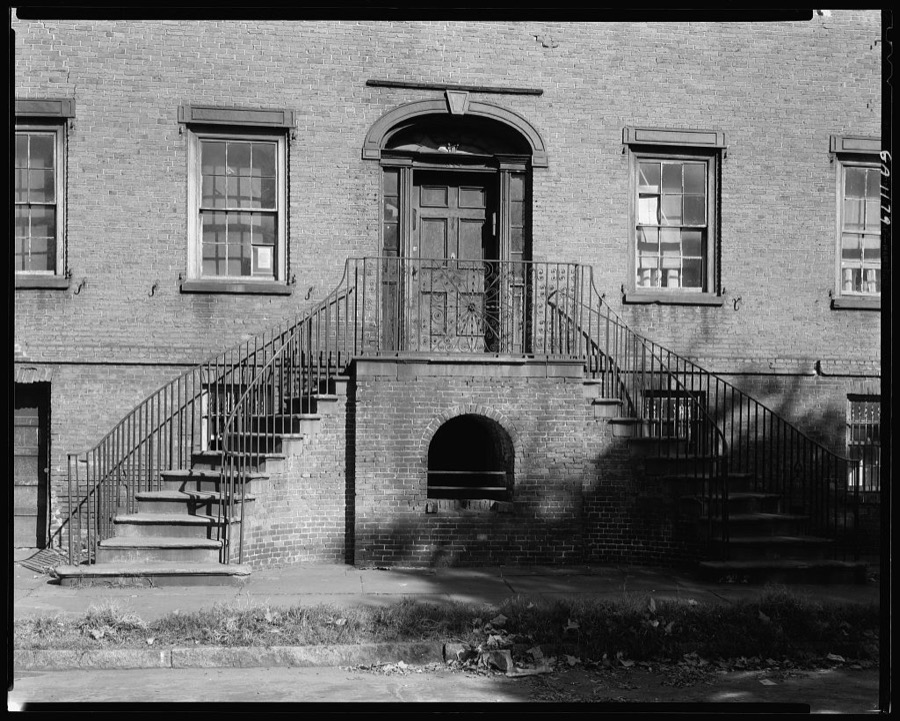
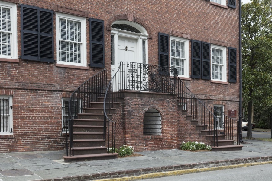
Davenport house, Columbus Square, Savannah, Chatham County, Georgia
Johnston, Frances Benjamin, 1939. Library of Congress
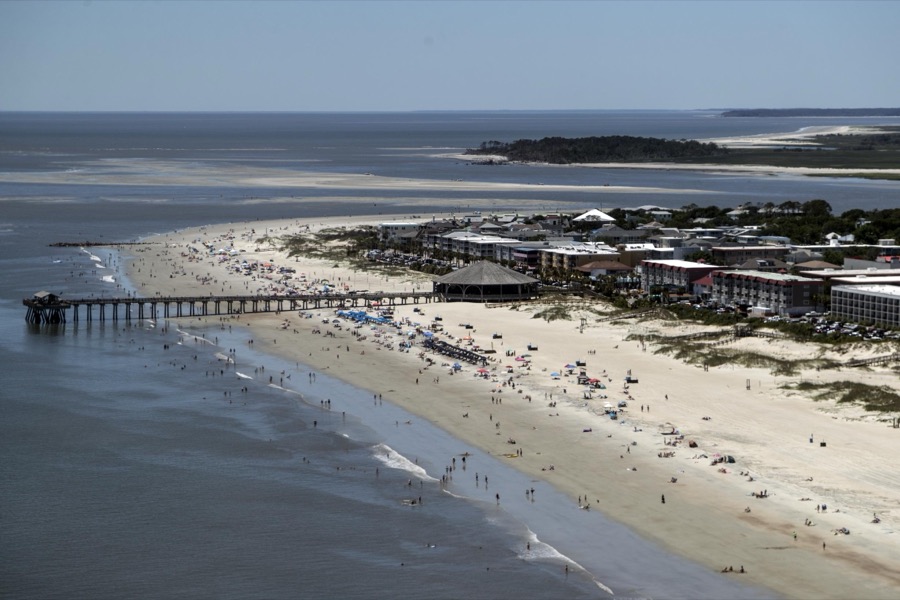
Aerial view of a pier on Tybee Island, Georgia, near Savannah
Highsmith, Carol M, 2017. Library of Congress
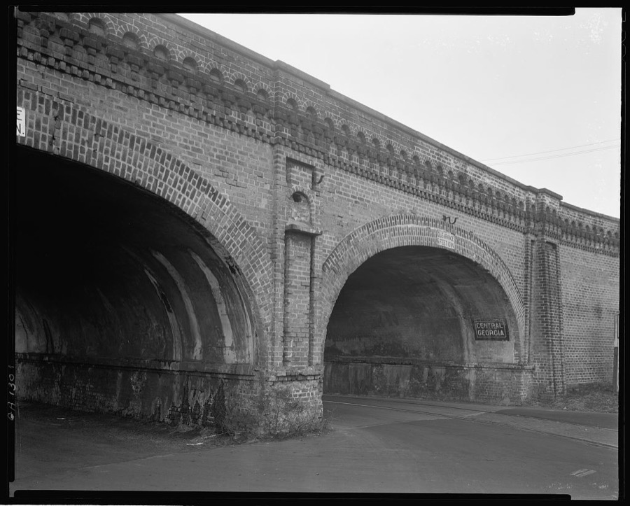
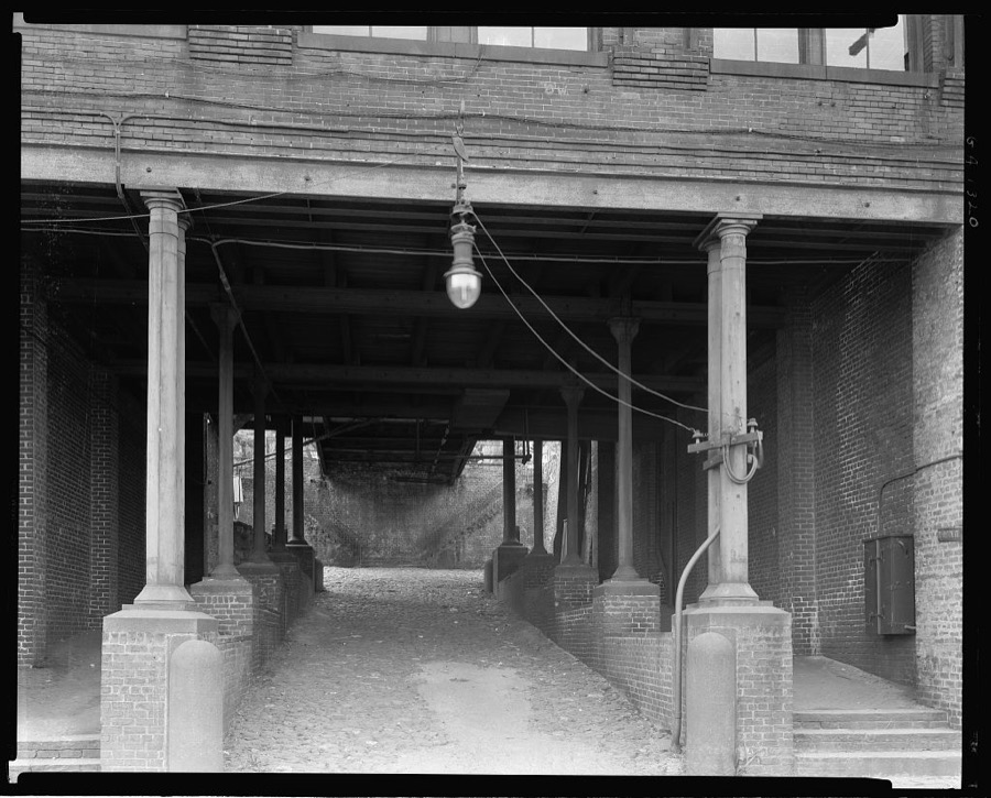
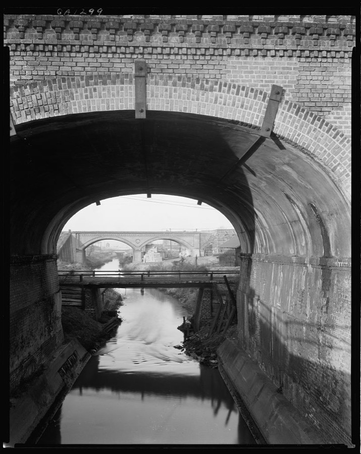
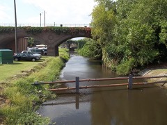
Georgia Central Railway Bridge, Railroad Street, Savannah, Chatham County, Georgia
Johnston, Frances Benjamin, 1939. Library of Congress
Fahn Street, West side, Savannah, Chatham County, Georgia
Johnston, Frances Benjamin, 1939. Library of Congress
Snowden Marshall House, 202 Taylor Street, East, Savannah, Chatham County, Georgia
Johnston, Frances Benjamin, 1939. Library of Congress
518 Tatnall Street, Savannah, Chatham County, Georgia
Johnston, Frances Benjamin, 1939. Library of Congress
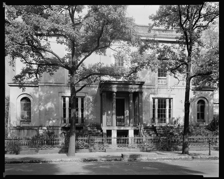
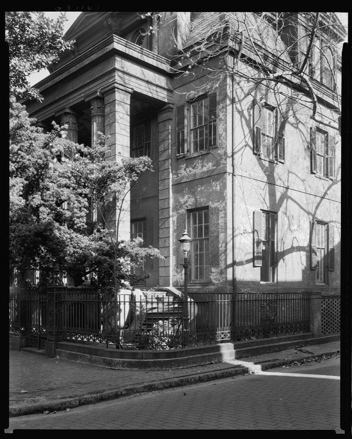
Sorrel-Weed house, 6 Harris Street, West, Savannah, Chatham County, Georgia
Johnston, Frances Benjamin, 1939. Library of Congress
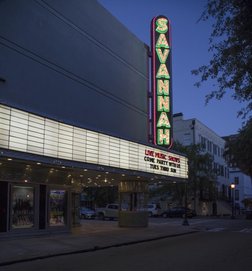
Marquee of the Savannah Theatre in downtown Savannah, Georgia
Highsmith, Carol M, 2017. Library of Congress
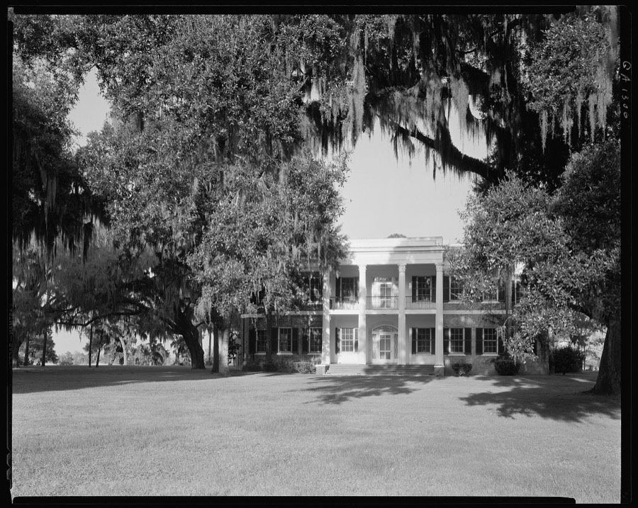
Richmond Hill, Savannah vic., Chatham County, Georgia
Johnston, Frances Benjamin, 1939. Library of Congress
The historic Davenport House in Savannah, Georgia, once photographed in 1939 by photographer Frances Benjamin Johnston as part of a Carnegie Grant study of the South
Highsmith, Carol M, 2017. Library of Congress
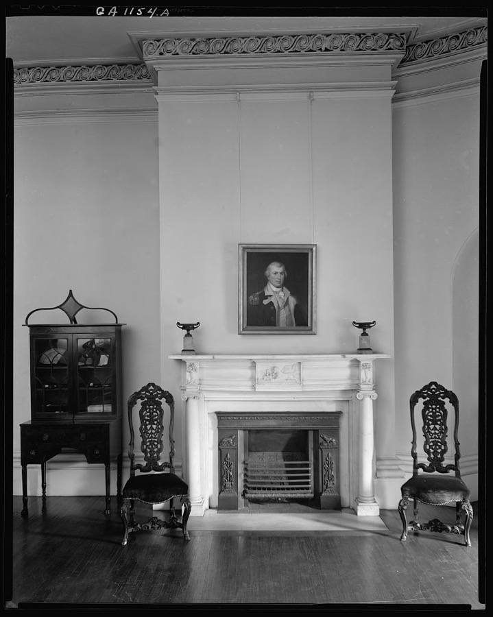
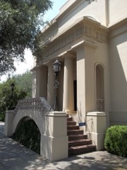
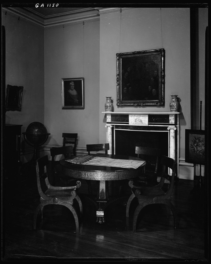
Telfair House, 121 Barnard Street, Savannah, Chatham County, Georgia
Johnston, Frances Benjamin, 1939. Library of Congress
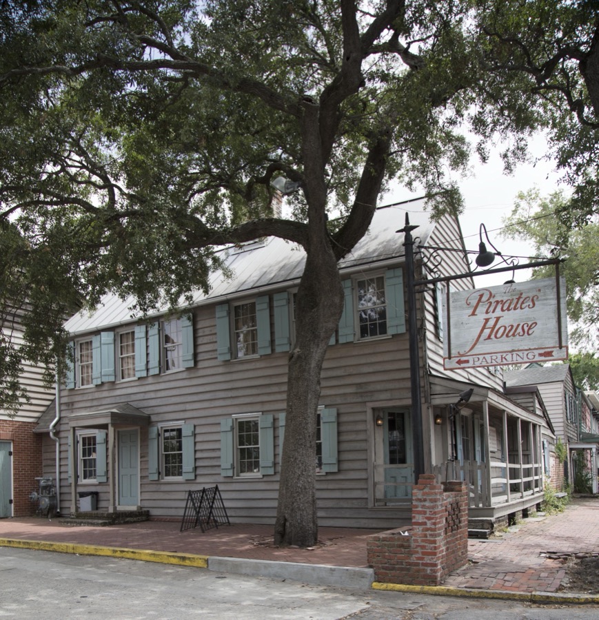
The Pirates' House, a historic restaurant location in Savannah, Georgia, established in 1753, opened as an inn for seafarers, and fast became a rendezvous for pirates and sailors back from ports around the world
Highsmith, Carol M, 2017. Library of Congress
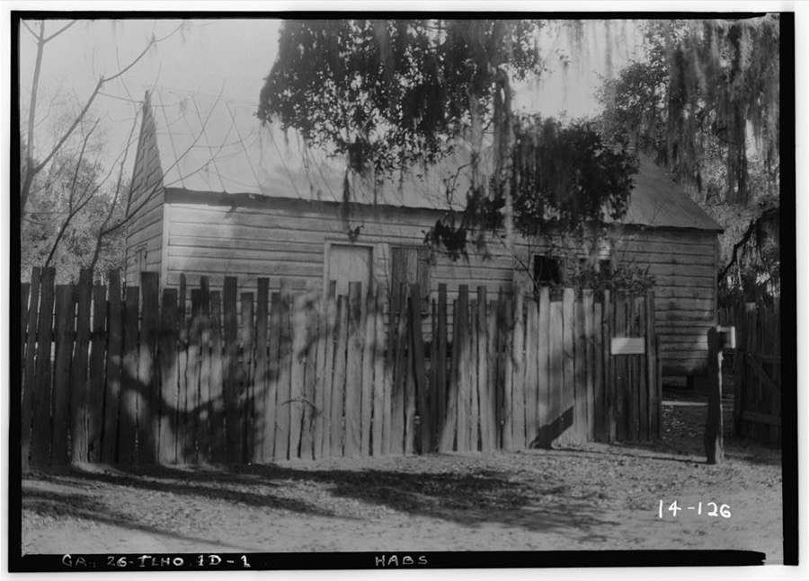
Wormsloe Plantation, Savannah vic., Chatham County, Georgia
Johnston, Frances Benjamin, 1939. Library of Congress
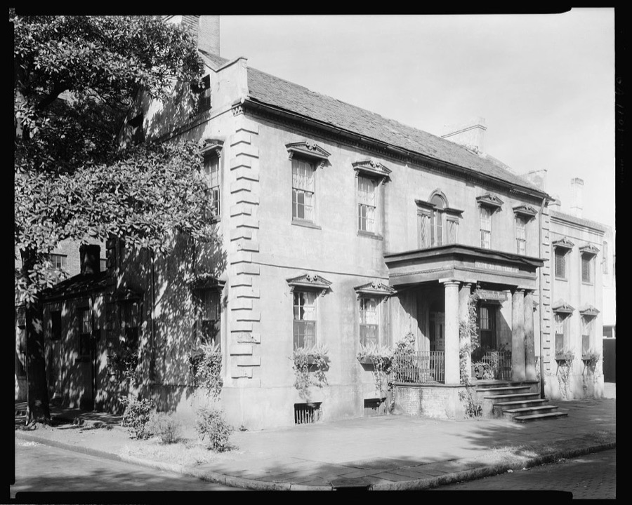
Richardson-Owens-Thomas House, 124 Abercorn St., Savannah, Chatham County, Georgia
Johnston, Frances Benjamin, 1939. Library of Congress
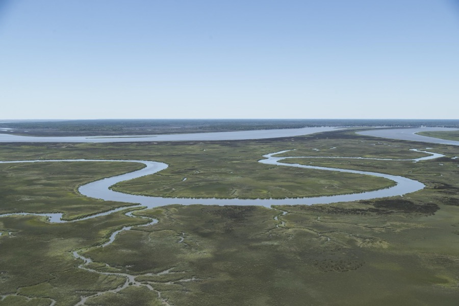
Aerial view of the Little Ogeechee River, near Montgomery, Georgia
Highsmith, Carol M, 2017. Library of Congress
Telfair House, 121 Barnard Street, Savannah, Chatham County, Georgia
Johnston, Frances Benjamin, 1939. Library of Congress
Stoddards Lower Range from Factory Walk, River Street, Savannah, Chatham County, Georgia
Johnston, Frances Benjamin, 1939. Library of Congress
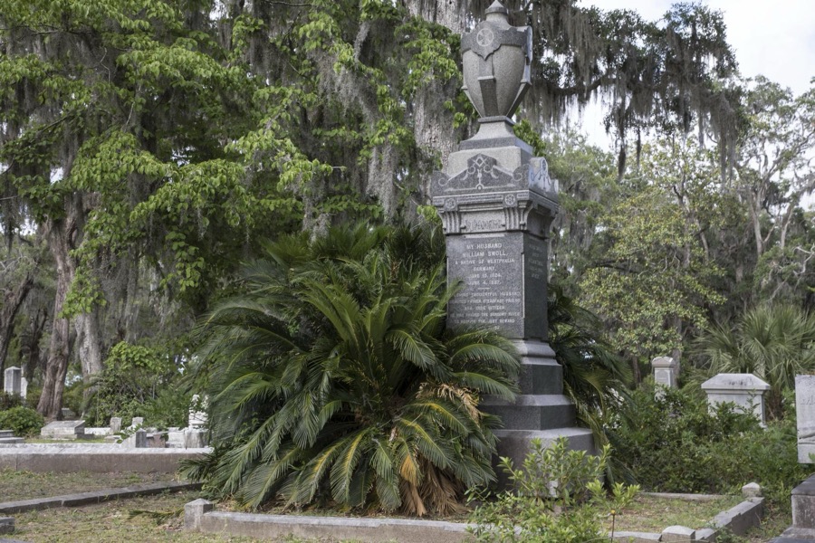
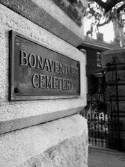
Gravesites at Bonaventure Cemetery in Savannah, Georgia
Highsmith, Carol M, 2017. Library of Congress
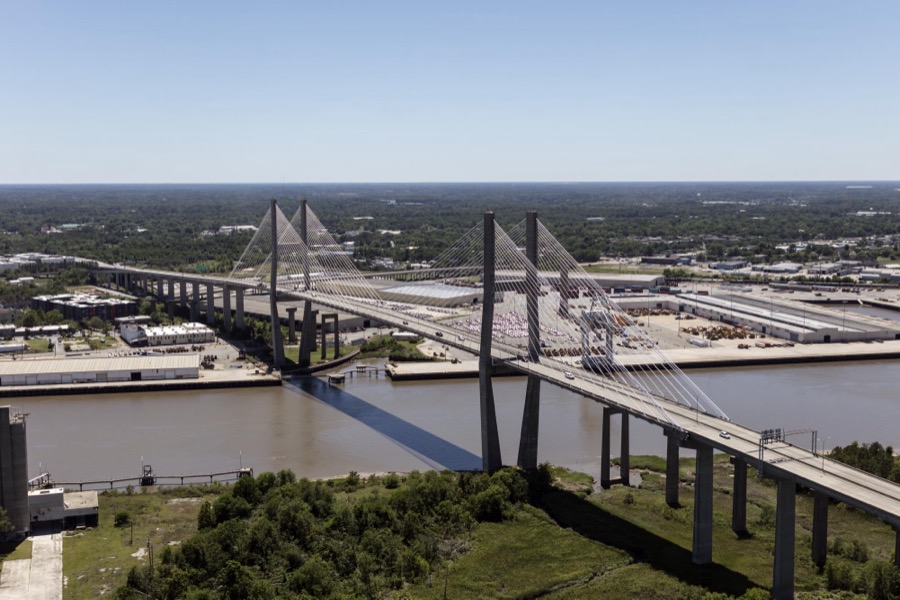
The Talmadge Memorial Bridge, spanning the Savannah River between downtown Savannah, Georgia, and Hutchinson Island
Highsmith, Carol M, 2017. Library of Congress
38 Price Street, Savannah, Chatham County, Georgia
Johnston, Frances Benjamin, 1939. Library of Congress
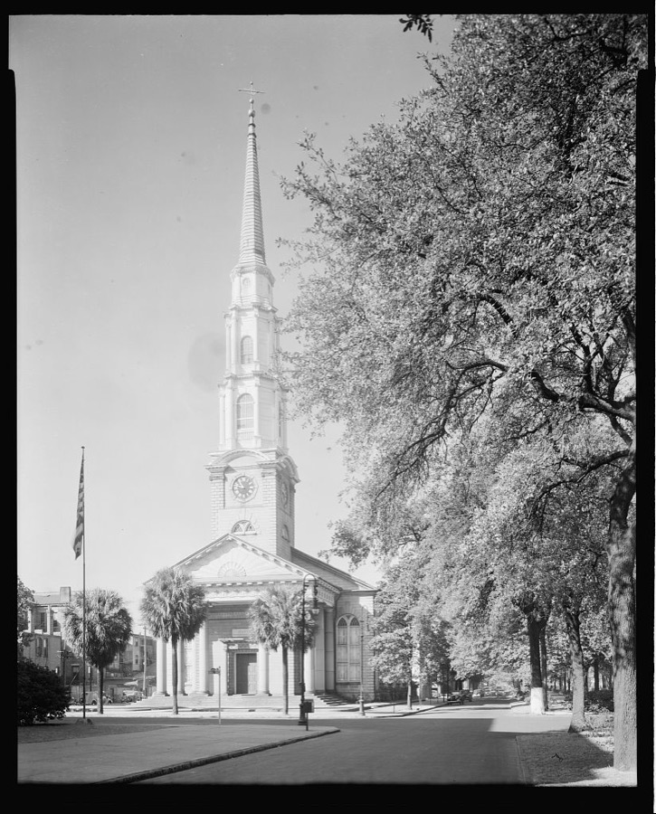
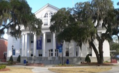
Independent Presbyterian Church, Savannah, Chatham County, Georgia
Johnston, Frances Benjamin, 1939. Library of Congress
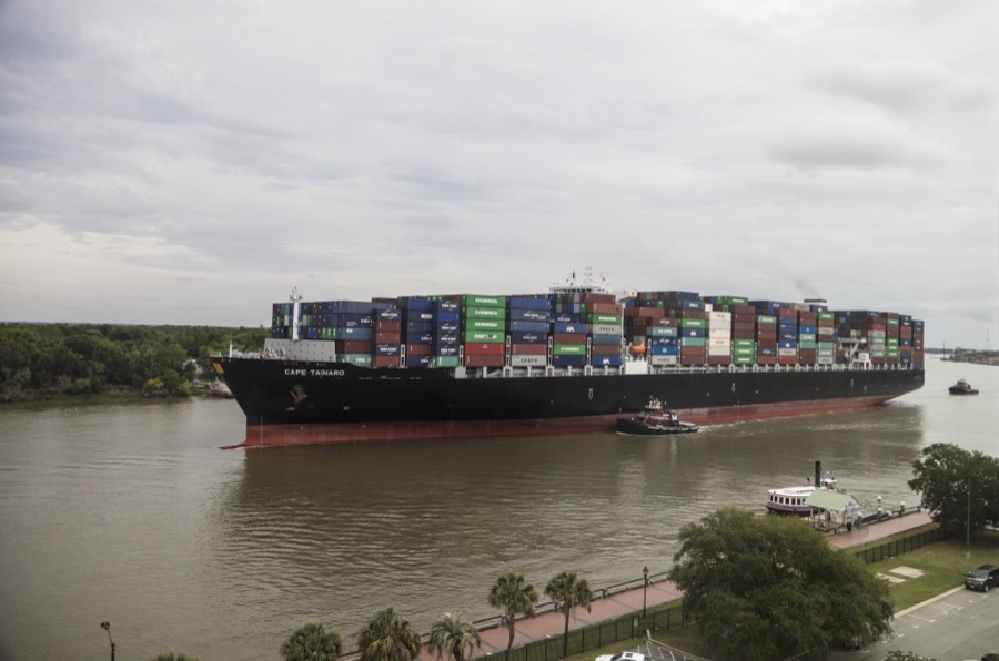
With a tugboat's help, an exceptionally heavy-laden oceangoing container ship plies the busy Savannah River in Savannah, Georgia
Highsmith, Carol M, 2017. Library of Congress
The Pirates' House, a historic restaurant location in Savannah, Georgia, established in 1753, opened as an inn for seafarers, and fast became a rendezvous for pirates and sailors back from ports around the world
Highsmith, Carol M, 2017. Library of Congress
Habersham house, 25 Abercorn Street, Savannah, Chatham County, Georgia
Johnston, Frances Benjamin, 1939. Library of Congress
Colonial Park, Savannah, Chatham County, Georgia
Johnston, Frances Benjamin, 1939. Library of Congress
Charlton house, 4 (or #6) Taylor Street West, Savannah, Chatham County, Georgia
Johnston, Frances Benjamin, 1939. Library of Congress
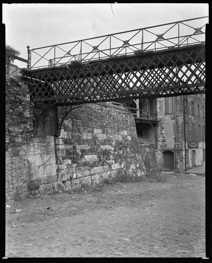
Bridges to Ware Houses, River Front, Savannah, Chatham County, Georgia
Johnston, Frances Benjamin, 1939. Library of Congress
Georgia Central Railway Bridge, Railroad Street, Savannah, Chatham County, Georgia
Johnston, Frances Benjamin, 1939. Library of Congress
Snowden Marshall House, 202 Taylor Street, East, Savannah, Chatham County, Georgia
Johnston, Frances Benjamin, 1939. Library of Congress
117 Jones Street, West, Savannah, Chatham County, Georgia
Johnston, Frances Benjamin, 1939. Library of Congress
Habersham house, 25 Abercorn Street, Savannah, Chatham County, Georgia
Johnston, Frances Benjamin, 1939. Library of Congress
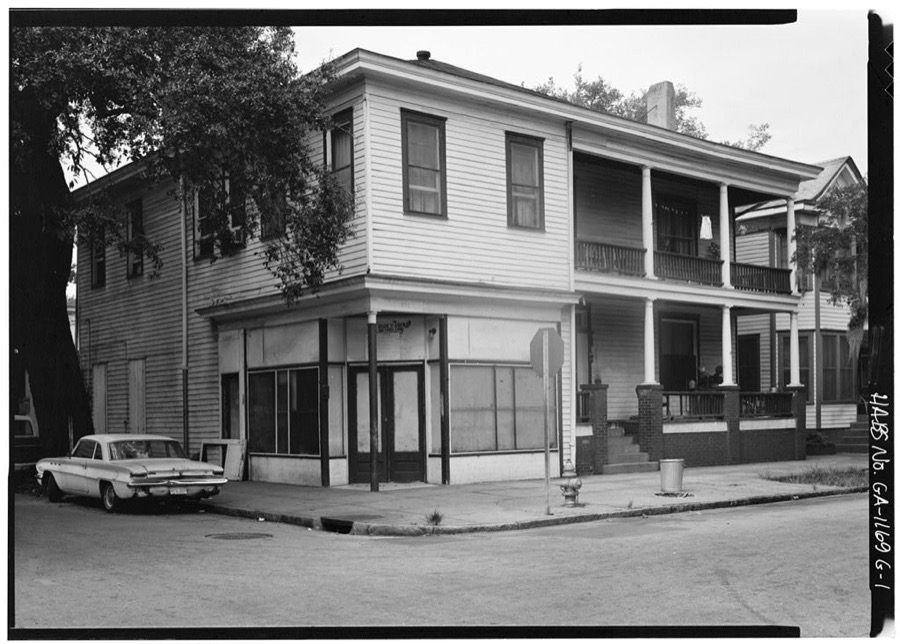
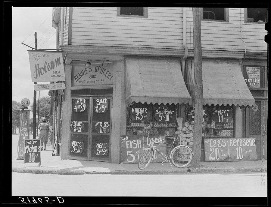
Negro grocery store. Savannah, Georgia. Prices posted outside
Wolcott, Marion Post, 1939. Library of Congress
Telfair House, 121 Barnard Street, Savannah, Chatham County, Georgia
Johnston, Frances Benjamin, 1939. Library of Congress
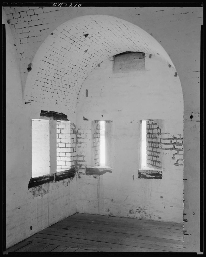
Fort Pulaski, Savannah, Chatham County, Georgia
Johnston, Frances Benjamin, 1939. Library of Congress
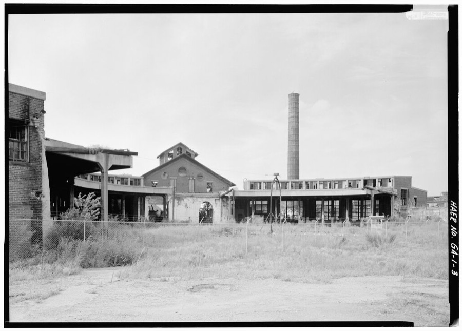
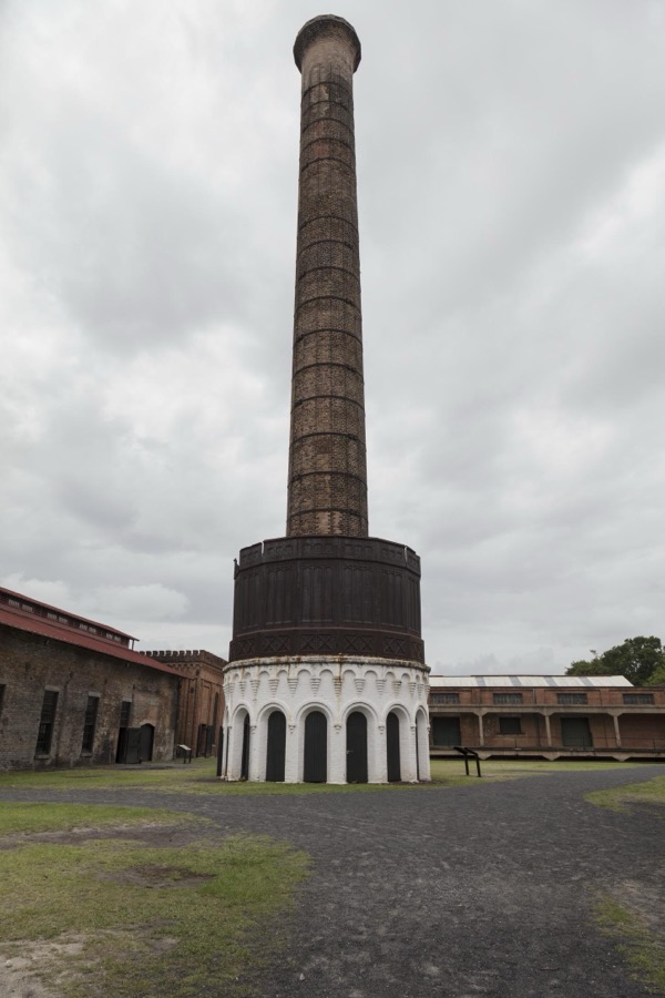
Enormous chimney at the Georgia State Railroad Museum on the grounds of the old Central of Georgia Railway Savannah Shops and Terminal facilities in Savannah, Georgia
Highsmith, Carol M, 2017. Library of Congress
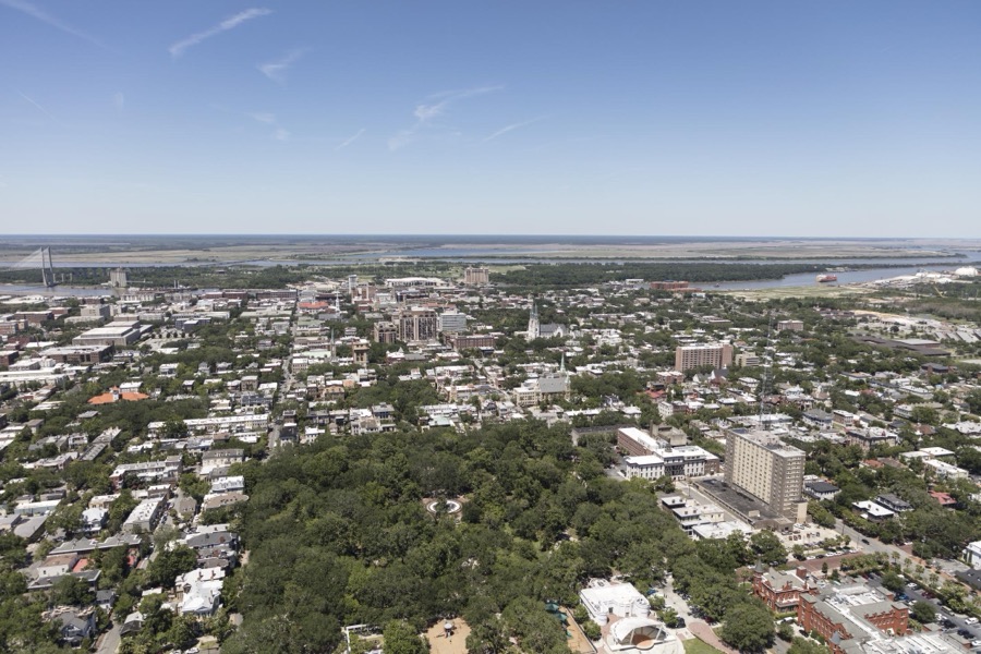
An aerial view of Savannah, Georgia
Highsmith, Carol M, 2017. Library of Congress
Champion-McAlpin-Fowlkes house, 230 Barnard Street, Savannah, Chatham County, Georgia
Johnston, Frances Benjamin, 1939. Library of Congress
310-312 Bryan Street, East, Savannah, Chatham County, Georgia
Johnston, Frances Benjamin, 1939. Library of Congress
Hermitage, Savannah River vicinity, Savannah, Chatham County, GA
Photographer not recorded. Library of Congress
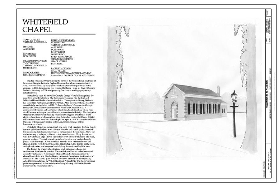
Whitefield Chapel, 9520 Ferguson Avenue, Savannah, Chatham County, GA
Photographer not recorded. Library of Congress
Frogtown District, Bounded by Jones, I-66 Ramp, & West Boundary Streets, Savannah, Chatham County, GA
Photographer not recorded. Library of Congress
Central of Georgia Railway, Savannah Repair Shops & Terminal Facilities, Roundhouse, Site Bounded by West Broad, Jones, West Boundary & Hull, Savannah, Chatham County, GA
Photographer not recorded. Library of Congress
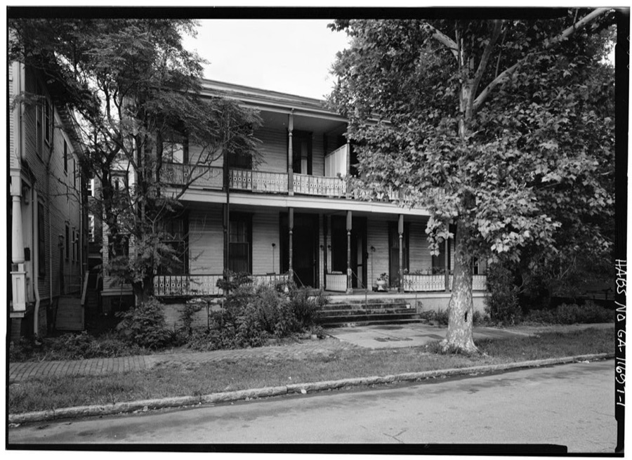
Savannah Victorian Historic District, 404-410 East Duffy Street (House), Savannah, Chatham County, GA
Photographer not recorded. Library of Congress
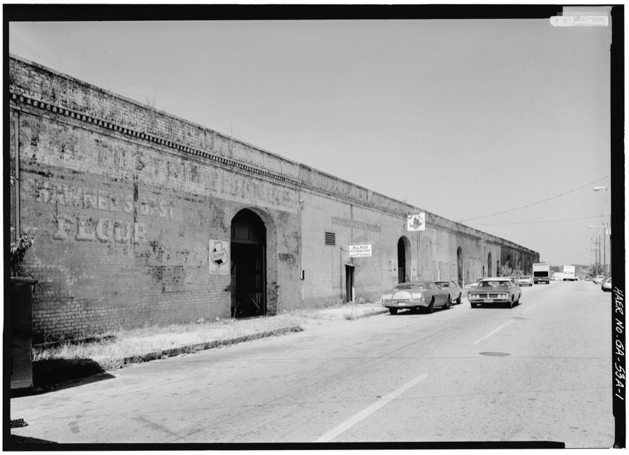
Central of Georgia Railway, Up Freight Warehouse, 227 West Broad Street (at rear of Gray Building), Savannah, Chatham County, GA
Photographer not recorded. Library of Congress
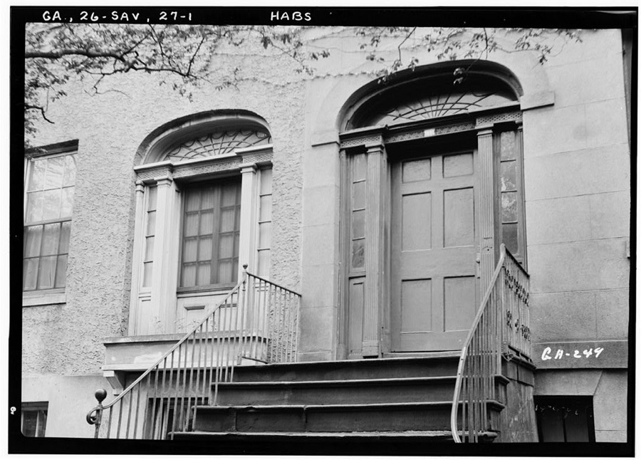
115 West Oglethorpe Street (House, Doorway), Savannah, Chatham County, GA
Photographer not recorded. Library of Congress
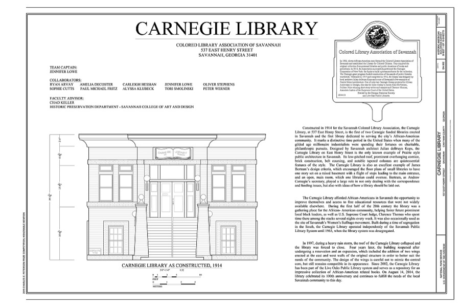
Carnegie Library, 537 East Henry Street, Savannah, Chatham County, GA
Photographer not recorded. Library of Congress
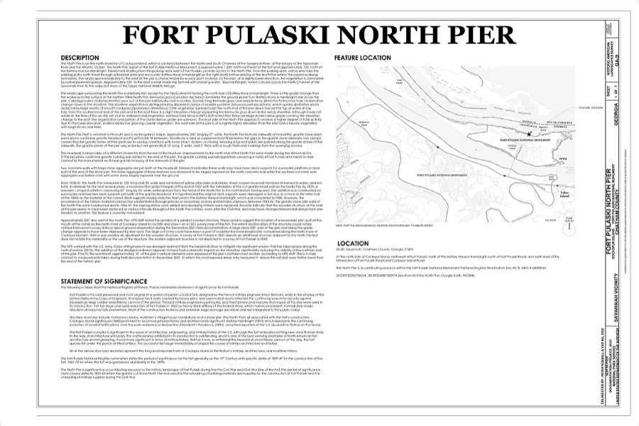
Fort Pulaski North Pier, Cockspur Island, Savannah, Chatham County, GA
Photographer not recorded. Library of Congress
Savannah Victorian Historic District, 301-305 West Duffy Street (House), Savannah, Chatham County, GA
Photographer not recorded. Library of Congress

Places on the National Register

80

Every property in this county listed on the National Register of Historic Places, with the year it was listed and the federal nomination document.

Photograph PropertyType ListedReference
Edmund and Mildred Abrahams Raised Tybee Cottagebuilding2020100004900
Andrew Low Housebuilding196666000276
Ardsley Park-Chatham Crescent Historic Districtdistrict198585001787
Atlantic Greyhound Bus Terminalbuilding201616000837
Battlefield Park, Carpentry Shopbuilding197878000970
Bethesda Home for Boysdistrict197373000614
Bonaventure Cemeterydistrict200101000035
Bordley Cottage-Beach View Housebuilding201414000345
Carbo House, Thebuilding201010000273
Carver Village Historic Districtdistrict2019100003340
Central of Georgia Depot and Trainsheddistrict197676000610
Central of Georgia Railway Company Shop Propertydistrict197070000199
Charity Hospitalbuilding198585000934
Curry-Miller-Byrd Cottagebuilding2021100006313
Cuyler-Brownville Historic Districtdistrict199898000028
Daffin Park-Parkside Place Historic Districtdistrict199999000554
Isaiah Davenport Housebuilding197272000374
Drayton Arms Apartmentsbuilding201313000826
Drouillard-Maupas Housebuilding199191000558
Dutton-Waller Raised Tybee Cottagebuilding200808000711
Eastside Historic Districtdistrict200202001292
Eureka Club-Farr's Pointbuilding200909000491
Fairway Oaks-Greenview Historic Districtdistrict200909000184
Federal Building and U.S. Courthousebuilding197474000663
First Bryan Baptist Churchbuilding197878000971
Fort James Jacksonbuilding197070000200
Fort Pulaski National Monumentdistrict196666000064
Fort Screven Historic Districtdistrict198282002393
Gordonston Historic Districtdistrict200101000741
Gray Buildingbuilding197878000970
Green-Meldrim Housebuilding197474000664
Hill Hall at Savannah State Collegebuilding198181000197
W. B. Hodgson Hallbuilding197777000413
Isle of Hope Historic Districtdistrict198484003874
J. Herbert and Julia Johnson Raised Tybee Cottagebuilding200808000441
Kensington Park-Groveland Historic Districtdistrict201414000533
Kiah Museumbuilding2024100011194
Laurel Grove-North Cemeterysite198383000187
Laurel Grove-South Cemeterysite197878000972
Lebanon Plantationbuilding197979000704
Juliette Gordon Low Historic Districtdistrict196666000276
Magnolia Park Historic Districtdistrict2024100009267
Massie Common School Housebuilding197777000414
Morgan-Ille Cottagebuilding200808000713
Mulherin-Righton Raised Tybee Cottagebuilding200808000349
New Ogeechee Missionary Baptist Churchbuilding200101000854
Nicholsonville Baptist Churchbuilding197878000969
Owens-Thomas Housebuilding197676000611
Paint and Coach Shopbuilding197878000970
Pine Gardens Historic Districtdistrict201414000890
James and Odessa Rourke Jr. Raised Tybee Cottagebuilding201010000804
Savannah Beach Town Hall and Auditoriumbuilding2022100007755
Savannah Historic Districtdistrict196666000277
Savannah Pharmacy and Fonvielle Office Buildingbuilding201313000023
Savannah Powder Magazinebuilding2025100011426
Savannah Victorian Historic Districtdistrict197474000665
Savannah Victorian Historic District (Boundary Increase)district198282002392
Savannah Water Works Pump Housebuilding2022100007368
Savannah and Ogeechee Canaldistrict199797000814
William Scarbrough Housebuilding197070000201
Sea View Apartmentsbuilding200303000286
Slotin Buildingbuilding198383000188
Springfield Terrace Schoolbuilding2022100007479
St. Bartholomew's Churchbuilding198282002391
St. Philip AME Churchbuilding198484000959
Oliver Sturges Housebuilding197171000271
Tabby Slave Quarter #1building199696000468
Telfair Academybuilding197676000612
Thomas Square Streetcar Historic Districtdistrict199797000813
Two Pierpont Circlebuilding199090000492
Tybee Island Back River Historic Districtdistrict199999000928
Tybee Island Strand Cottages Historic Districtdistrict199998000971
U.S. Customhousebuilding197474000666
Vernonburg Historic Districtdistrict200000000714
Edgar A. Weil Housebuilding201616000686
Wild Heronbuilding197777000415
Clarence and Louise Golden Williams Housebuilding2023100007895
Wormsloe Plantationdistrict197373000615

Digitised newspapers

24 issues

Sampled issues, machine-read from the Library of Congress scan and published page by page, so every headline and column is searchable text.

Savannah Morning News

Savannah, 1868 to 1887. Machine-read from the Library of Congress scan.

The Colored Tribune

Savannah [Ga.], 1875 to 1876. Machine-read from the Library of Congress scan.

Savannah Weekly Echo

Savannah, Ga., 1879 to 1884. Machine-read from the Library of Congress scan.

The Savannah Tribune

Savannah [Ga.]; Savannah, Ga., 1876 to 1960. Machine-read from the Library of Congress scan.

The Morning News

Savannah, Ga., 1887 to 1900. Machine-read from the Library of Congress scan.

The Savannah Morning News

Savannah, Ga., 1900 to Current. Machine-read from the Library of Congress scan.

Bird's-eye views and land ownership maps

4

Drawn when these were printed as single large sheets: the town seen from the air, and the county divided into its farms with every owner named. Each opens the original at the Library of Congress.

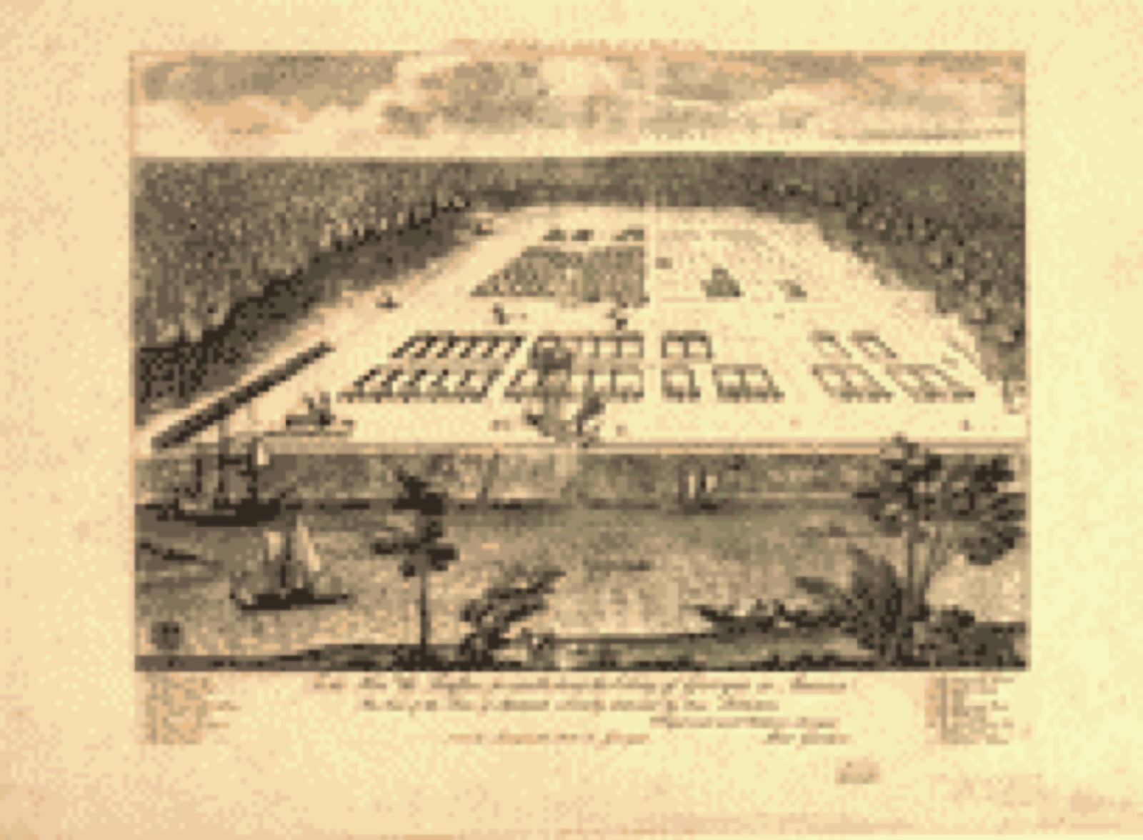
Bird's-eye view, 1734 - A view of Savannah as it stood the 29th of March 1734
Bird's-eye view (1734) - A view of Savannah as it stood the 29th of March 1734. Library of Congress.
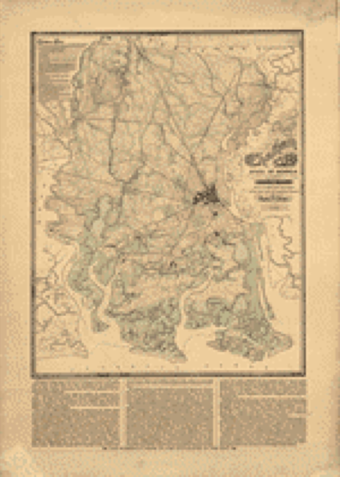
Land ownership map, 1875 - Map of Chatham County, state of Georgia
Land ownership map (1875) - Map of Chatham County, state of Georgia. Library of Congress.
Land ownership map, 1875 - Map of Chatham County, state of Georgia
Land ownership map (1875) - Map of Chatham County, state of Georgia. Library of Congress.
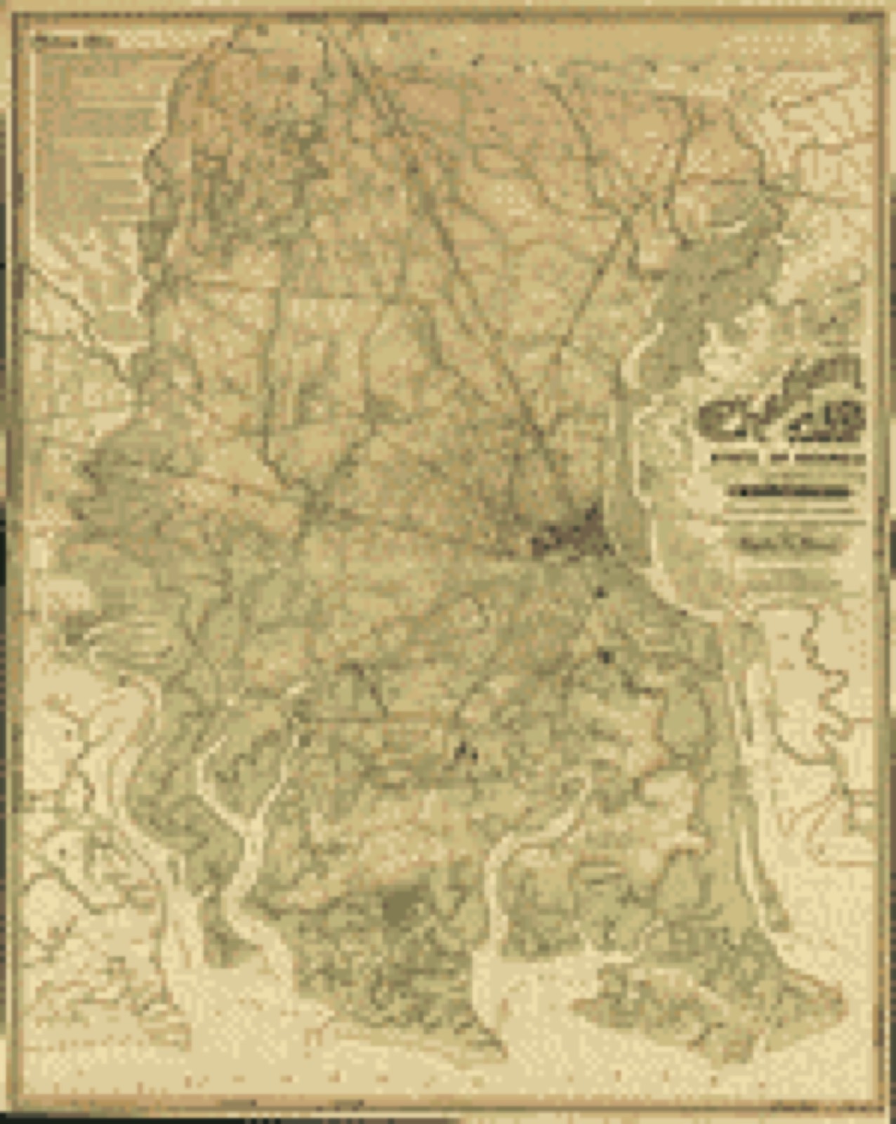
Land ownership map, 1874 - State of Georgia, Chatham County
Land ownership map (1874) - State of Georgia, Chatham County. Library of Congress.

Photographs from libraries nationwide

20 of 134 shown

Selected from the Digital Public Library of America's 134 image records catalogued for this county. Every one shown here carries a public-domain status or a licence that permits reuse on a site that carries advertising; non-commercial, share-alike and restricted images are excluded. The selection is spread across the county's towns (at most eight per town), so no single institution's bulk upload crowds out the rest. Each opens the holding library's record, and the complete set at the Digital Public Library of America is one click away.

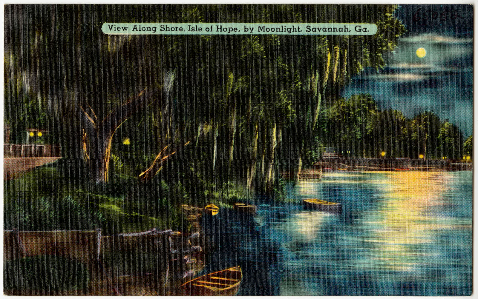
View along shore, Isle of Hope, by moonlight, Savannah, Ga., Boston Public Library - undated
View along shore, Isle of Hope, by moonlight, Savannah, Ga.. Boston Public Library, via the Digital Public Library of America.
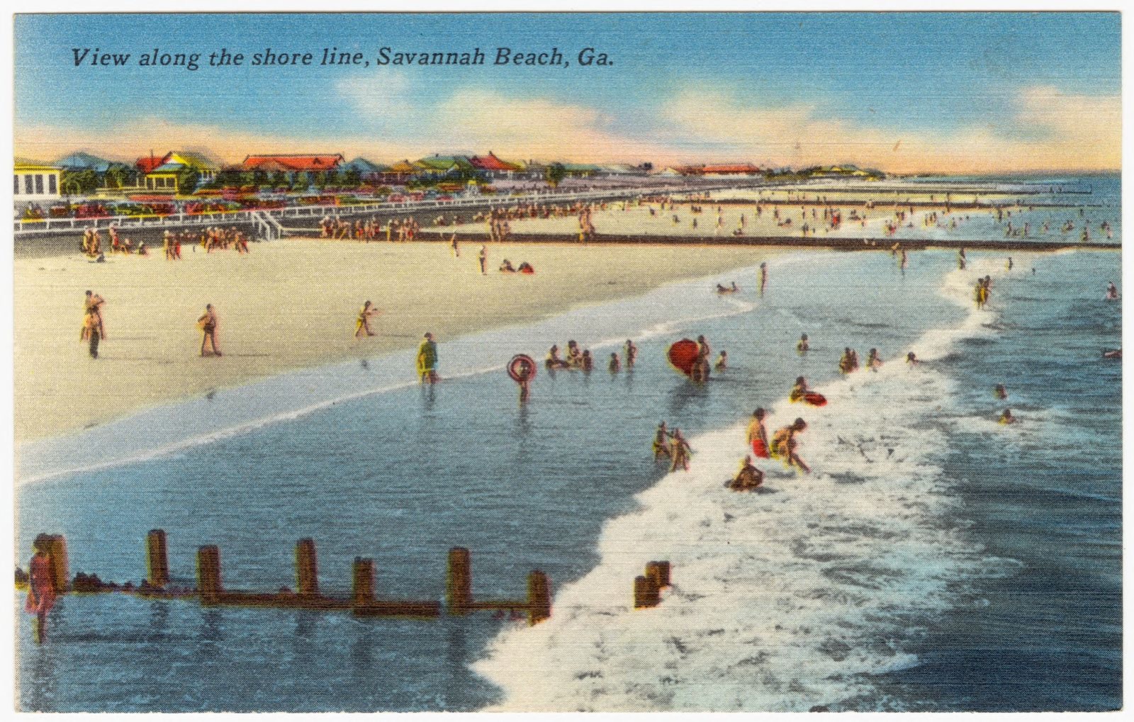
View along the shore line, Savanna Beach, Ga., Boston Public Library - undated
View along the shore line, Savanna Beach, Ga.. Boston Public Library, via the Digital Public Library of America.
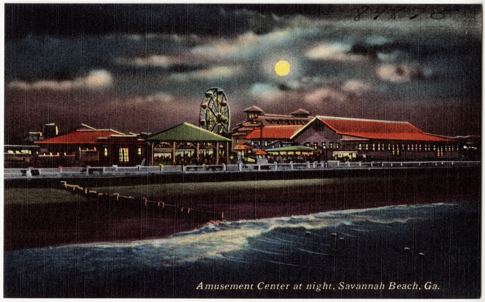
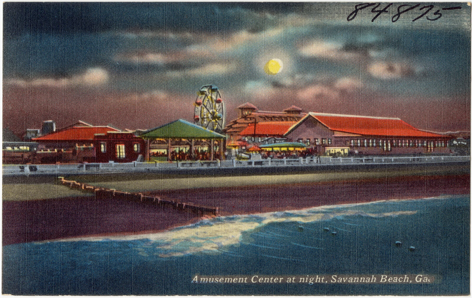
Amusement center at night, Savannah Beach, Ga., Boston Public Library - undated
Amusement center at night, Savannah Beach, Ga.. Boston Public Library, via the Digital Public Library of America.
Entrance to Forsyth Park, Boston Public Library - undated
Entrance to Forsyth Park. Boston Public Library, via the Digital Public Library of America.
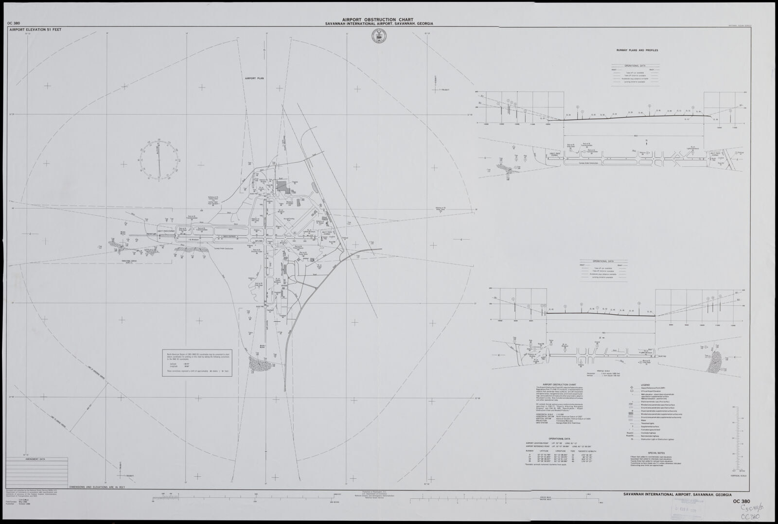
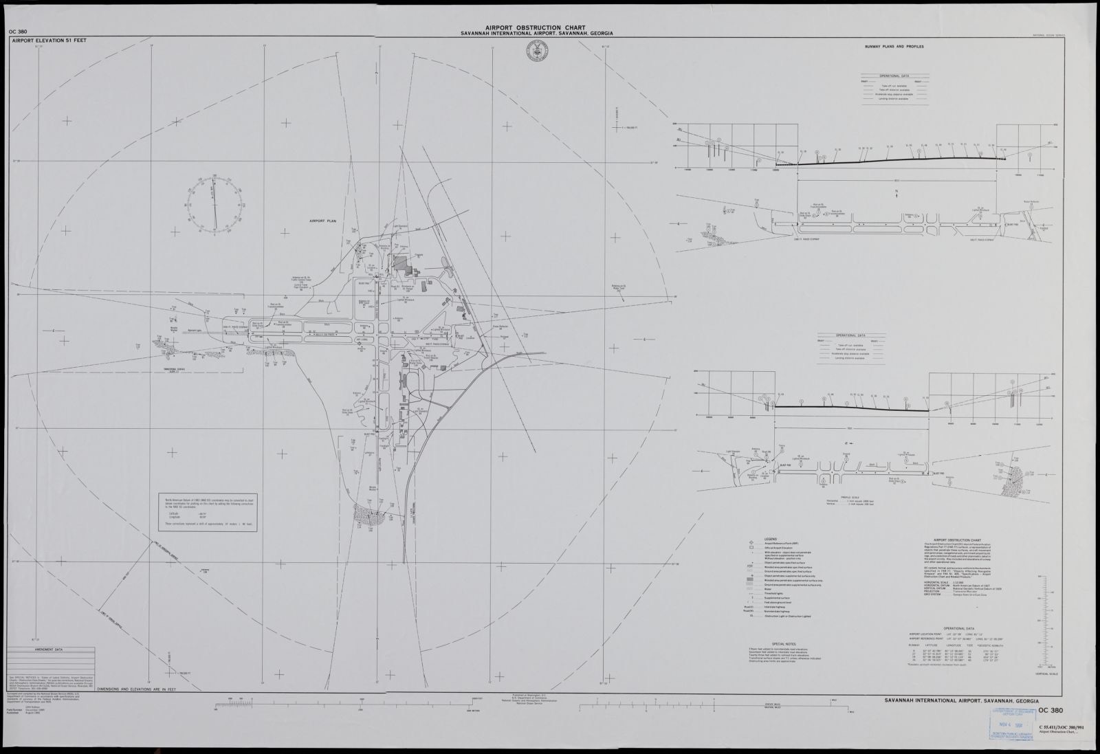
Airport obstruction chart, OC 380, Savannah International Airport, Savannah, Georgia, Boston Public Library - undated
Airport obstruction chart, OC 380, Savannah International Airport, Savannah, Georgia. United States. National Ocean Service, Boston Public Library, via the Digital Public Library of America.
Amusement center at night, Savannah Beach, Ga., Boston Public Library - undated
Amusement center at night, Savannah Beach, Ga.. Boston Public Library, via the Digital Public Library of America.
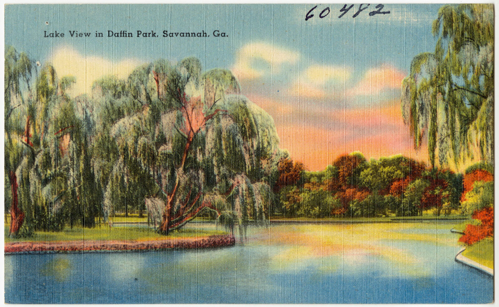
Lake view in Daffin Park, Savannah, Ga., Boston Public Library - undated
Lake view in Daffin Park, Savannah, Ga.. Boston Public Library, via the Digital Public Library of America.
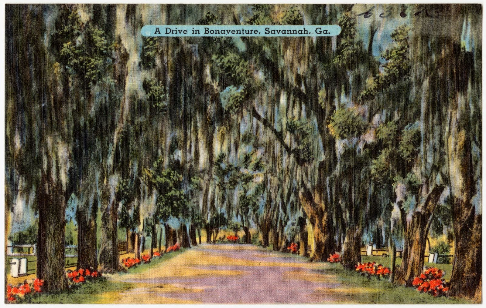
A drive in Bonaventure, Savannah, Ga., Boston Public Library - undated
A drive in Bonaventure, Savannah, Ga.. Boston Public Library, via the Digital Public Library of America.
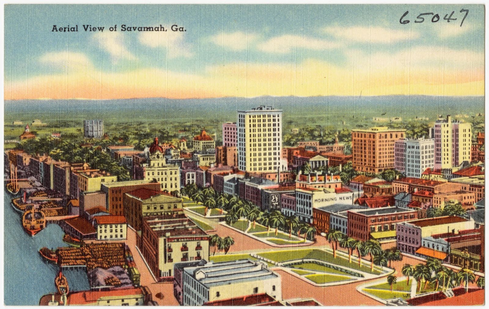
Aerial view of Savannah, Ga., Boston Public Library - undated
Aerial view of Savannah, Ga.. Boston Public Library, via the Digital Public Library of America.
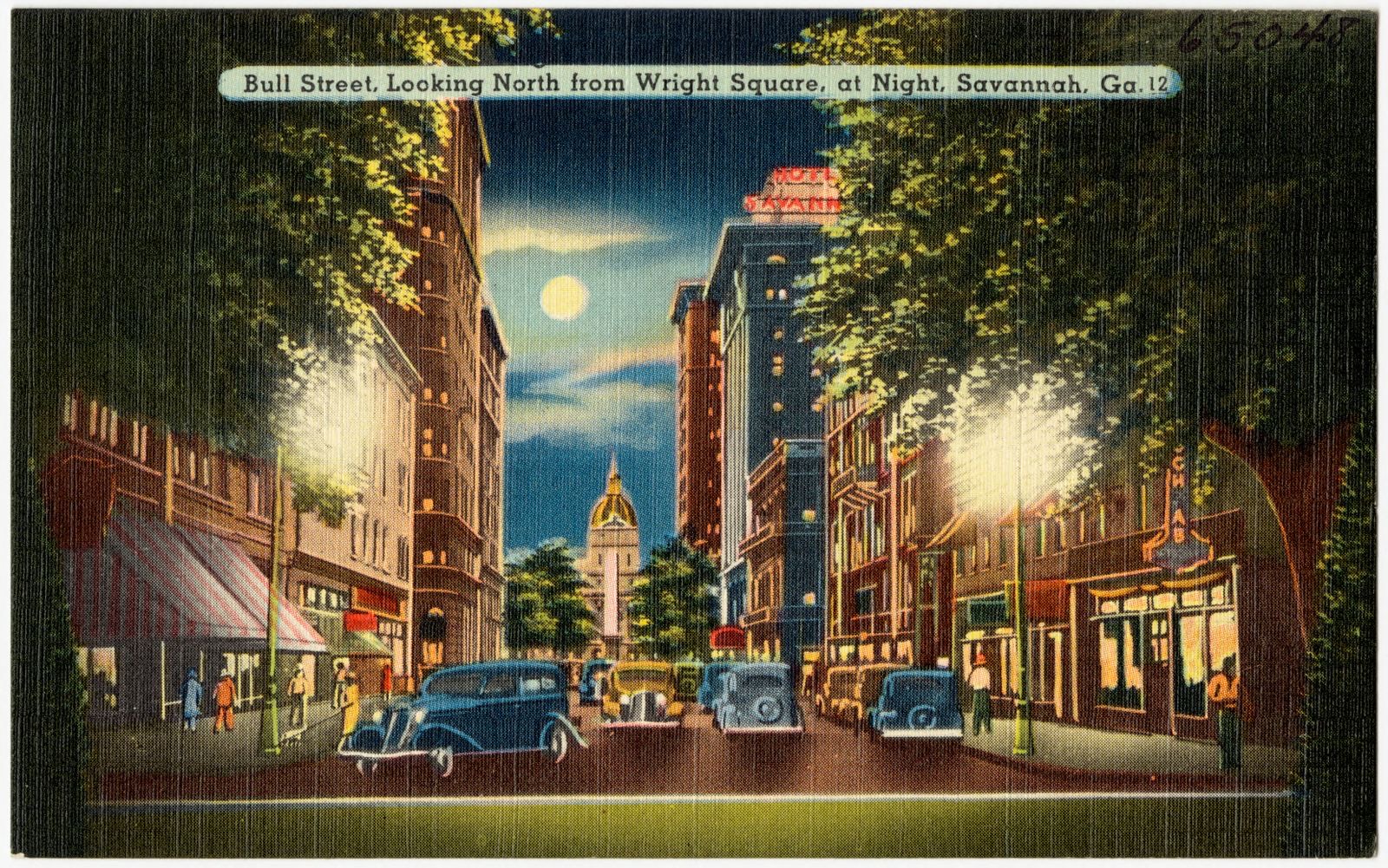
Bull Street, looking north from Wright Square, at night, Savannah, Ga., Boston Public Library - undated
Bull Street, looking north from Wright Square, at night, Savannah, Ga.. Boston Public Library, via the Digital Public Library of America.
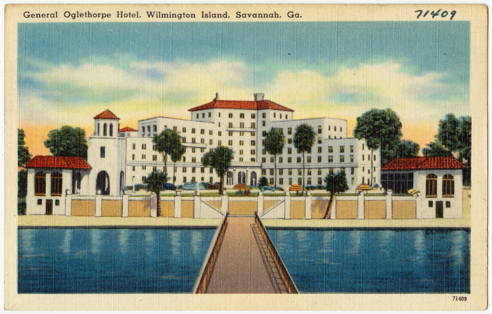
General Oglethorpe Hotel, Wilmington Island, Savannah, Ga., Boston Public Library - undated
General Oglethorpe Hotel, Wilmington Island, Savannah, Ga.. Boston Public Library, via the Digital Public Library of America.
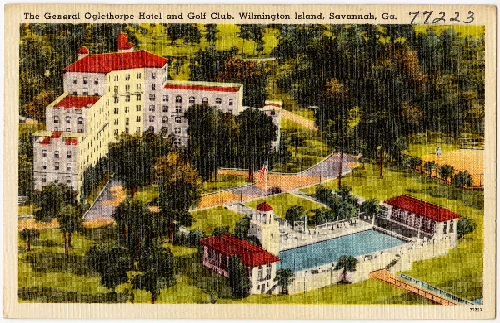
The General Oglethorpe Hotel and Golf Club, Wilmington Island, Savannah, Ga., Boston Public Library - undated
The General Oglethorpe Hotel and Golf Club, Wilmington Island, Savannah, Ga.. Boston Public Library, via the Digital Public Library of America.
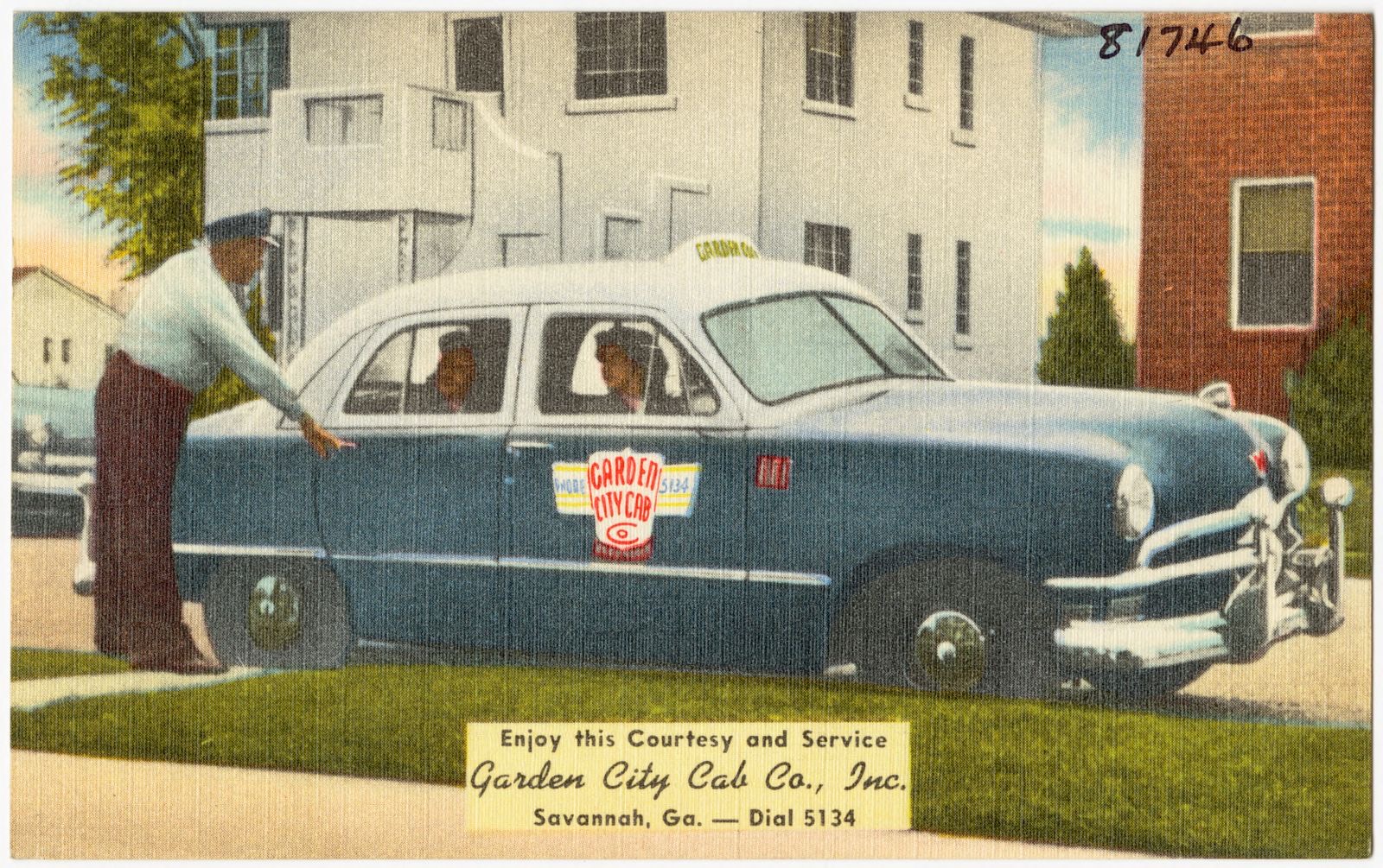
Enjoy this courtesy and service, Garden City Cab Co., Inc. Savannah, Ga., Boston Public Library - undated
Enjoy this courtesy and service, Garden City Cab Co., Inc. Savannah, Ga.. Boston Public Library, via the Digital Public Library of America.
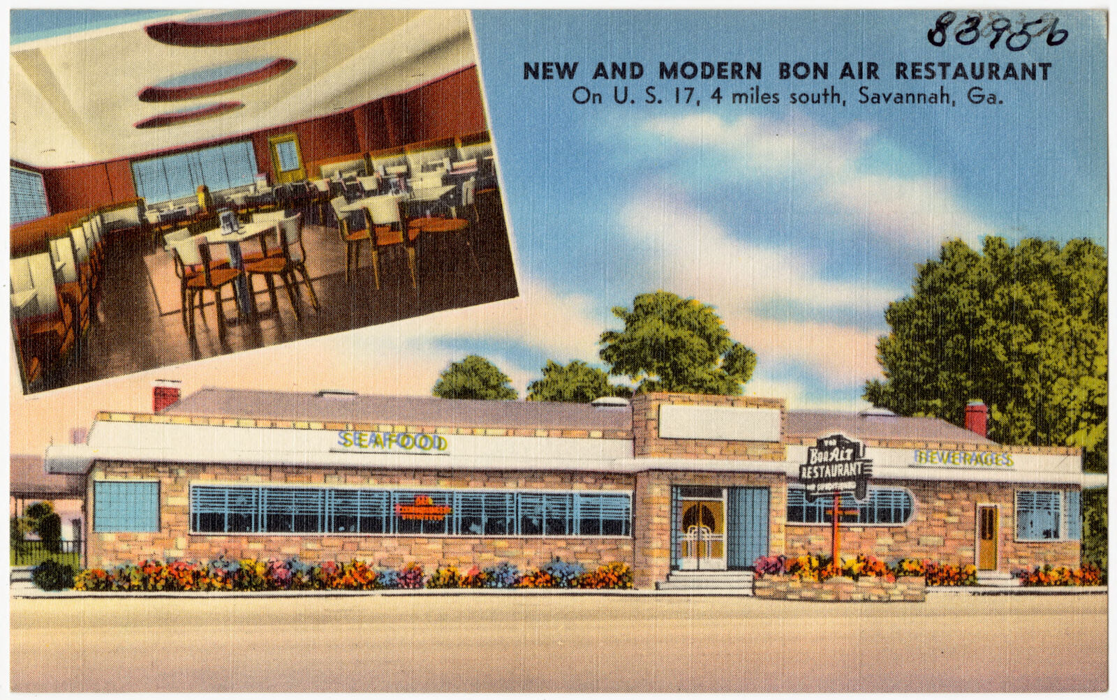
New and modern Bon Air Restaurant, on U. S. 17, 4 miles south, Savannah, Ga., Boston Public Library - undated
New and modern Bon Air Restaurant, on U. S. 17, 4 miles south, Savannah, Ga.. Boston Public Library, via the Digital Public Library of America.
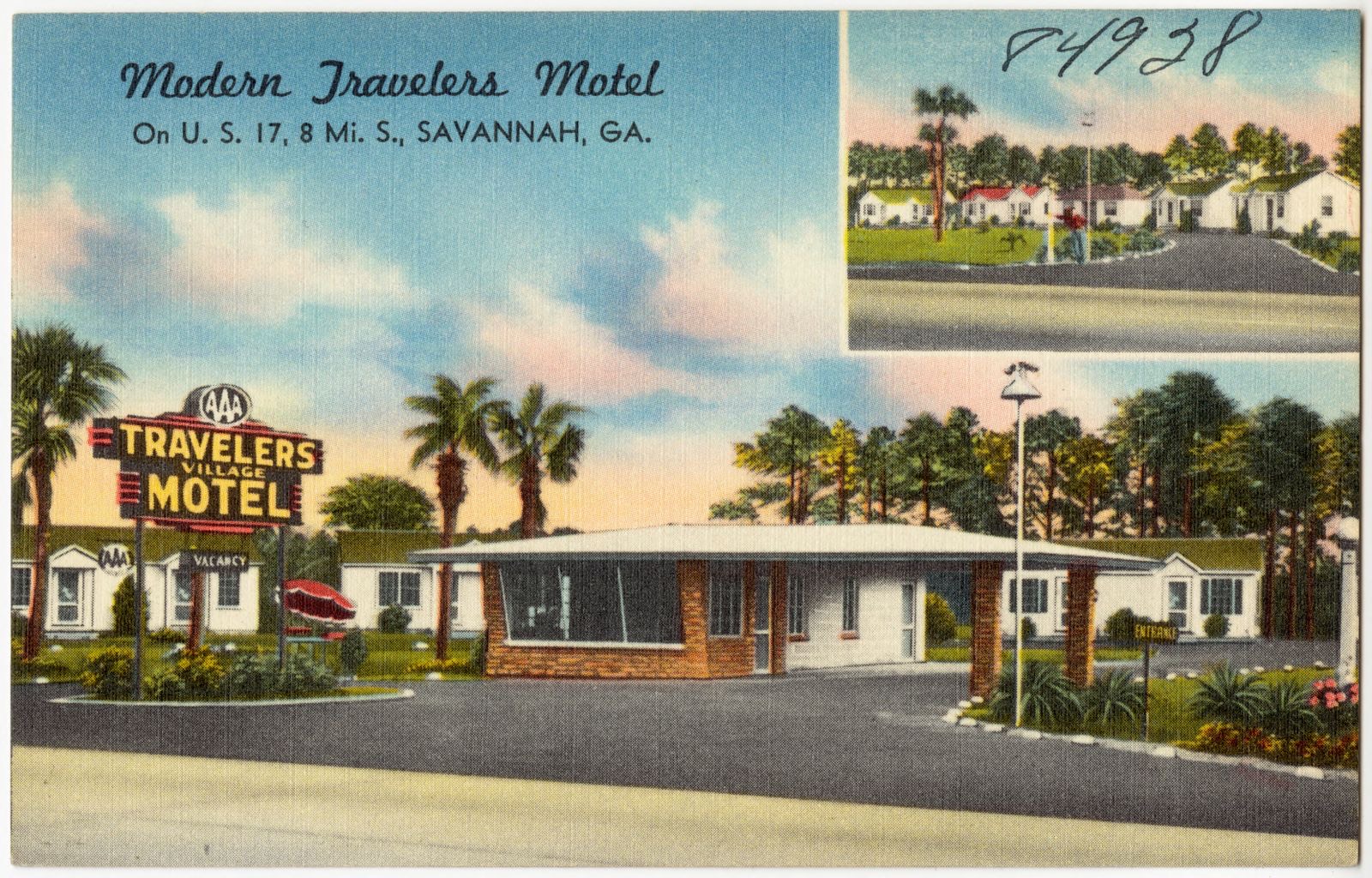
Modern Travelers Motel, on U. S. 17, 8 mi. s., Savannah, Ga., Boston Public Library - undated
Modern Travelers Motel, on U. S. 17, 8 mi. s., Savannah, Ga.. Boston Public Library, via the Digital Public Library of America.
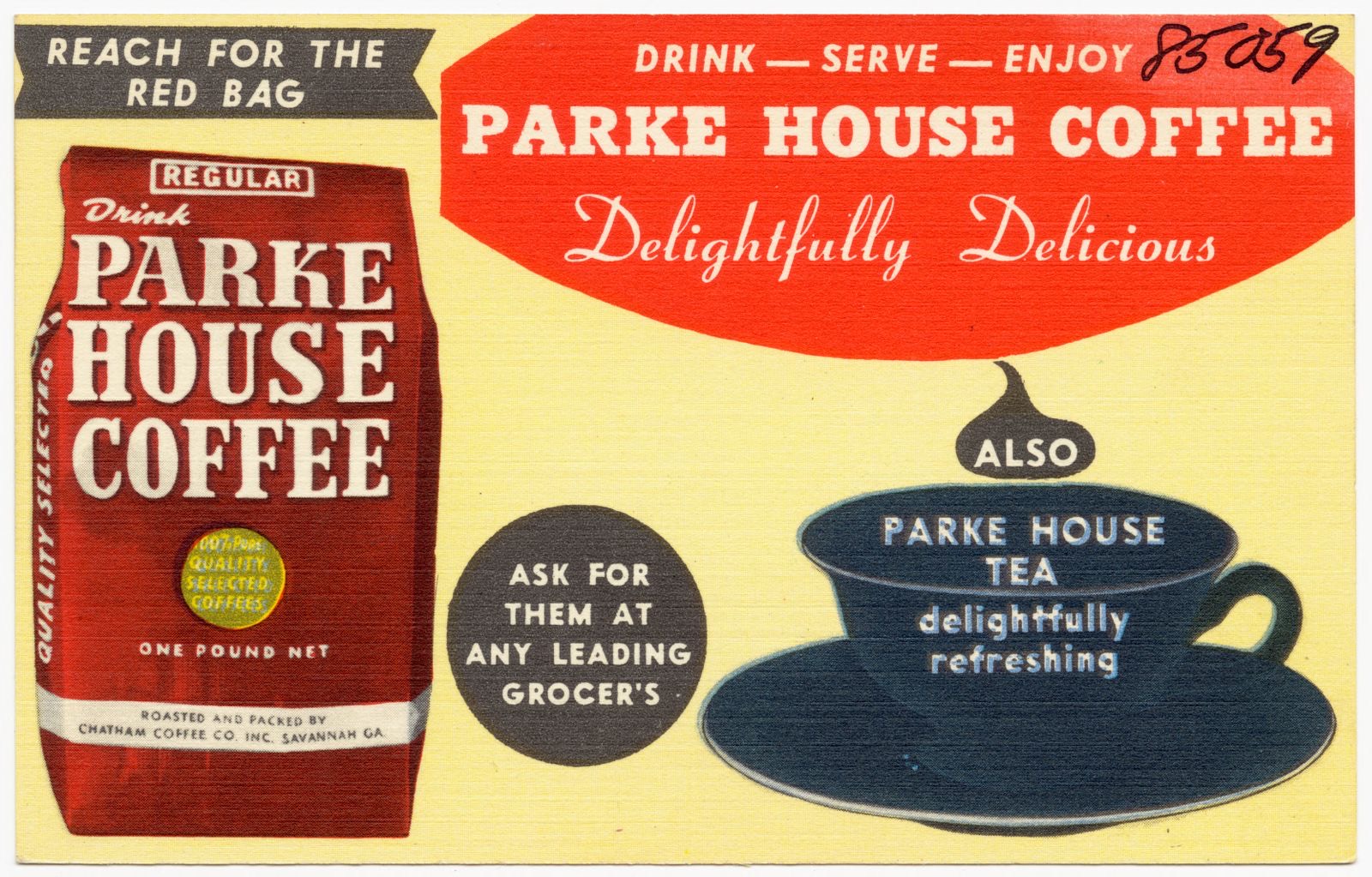
Drink - serve - enjoy Parke House Coffee, delightfully delicious, also Parke House Tea, delightfully refreshing, Boston Public Library - undated
Drink - serve - enjoy Parke House Coffee, delightfully delicious, also Parke House Tea, delightfully refreshing. Boston Public Library, via the Digital Public Library of America.
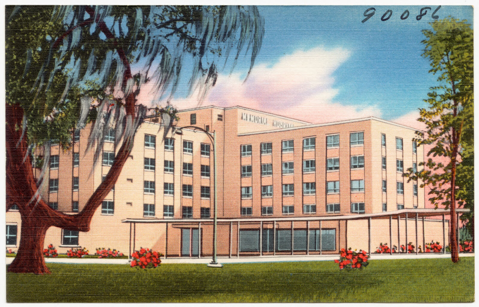
Memorial Hospital of Chatham County (1955), completely air conditioned 300 bed general hospital. Dedicated to the glory of God and health of mankind in memory of those who died in the service of our country., Boston Public Library - undated
Memorial Hospital of Chatham County (1955), completely air conditioned 300 bed general hospital. Dedicated to the glory of God and health of mankind in memory of those who died in the service of our country.. Boston Public Library, via the Digital Public Library of America.
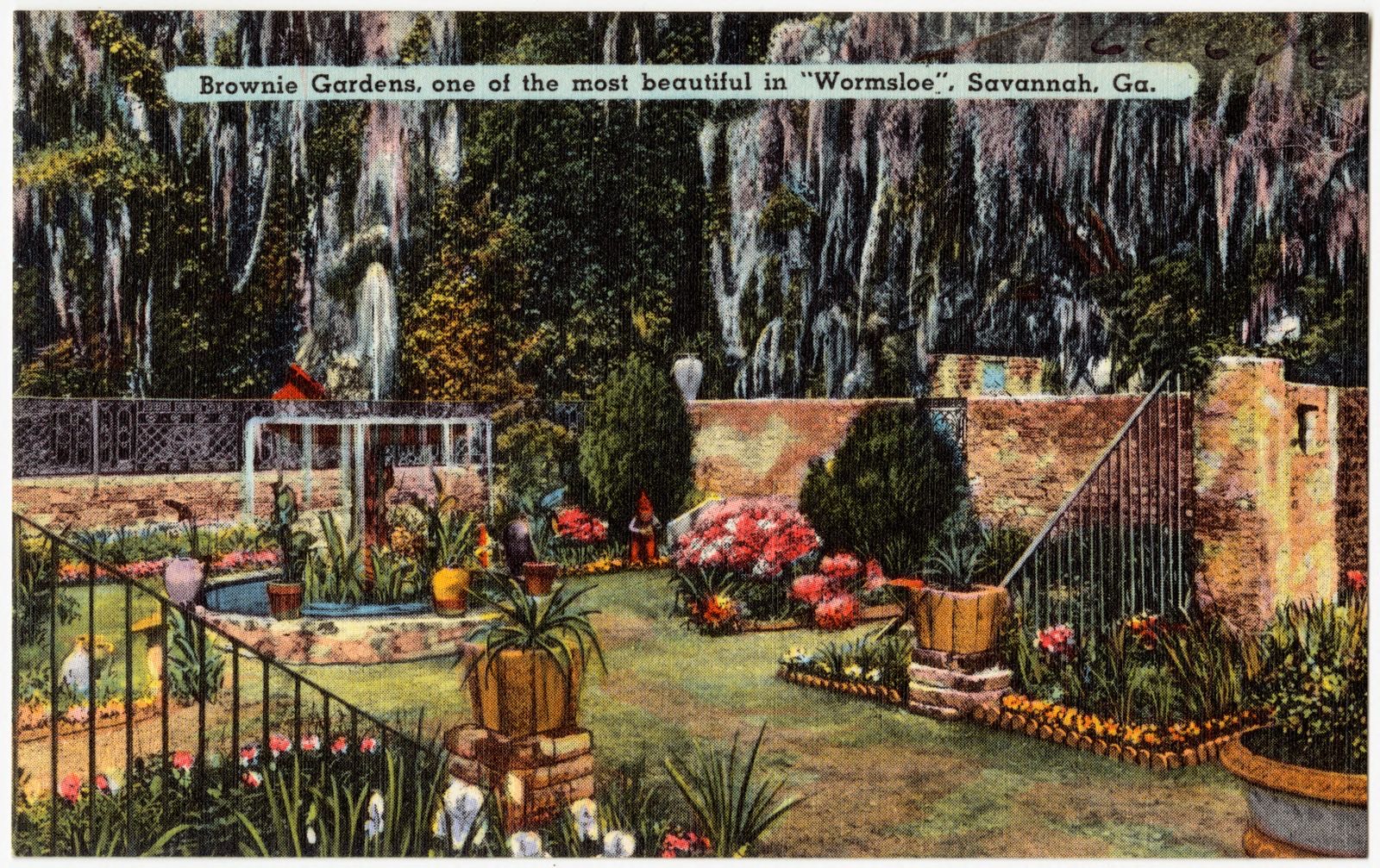
Brownie Gardens, one of the most beautiful in "Wormsloe", Savannah, Ga., Boston Public Library - undated
Brownie Gardens, one of the most beautiful in "Wormsloe", Savannah, Ga.. Boston Public Library, via the Digital Public Library of America.
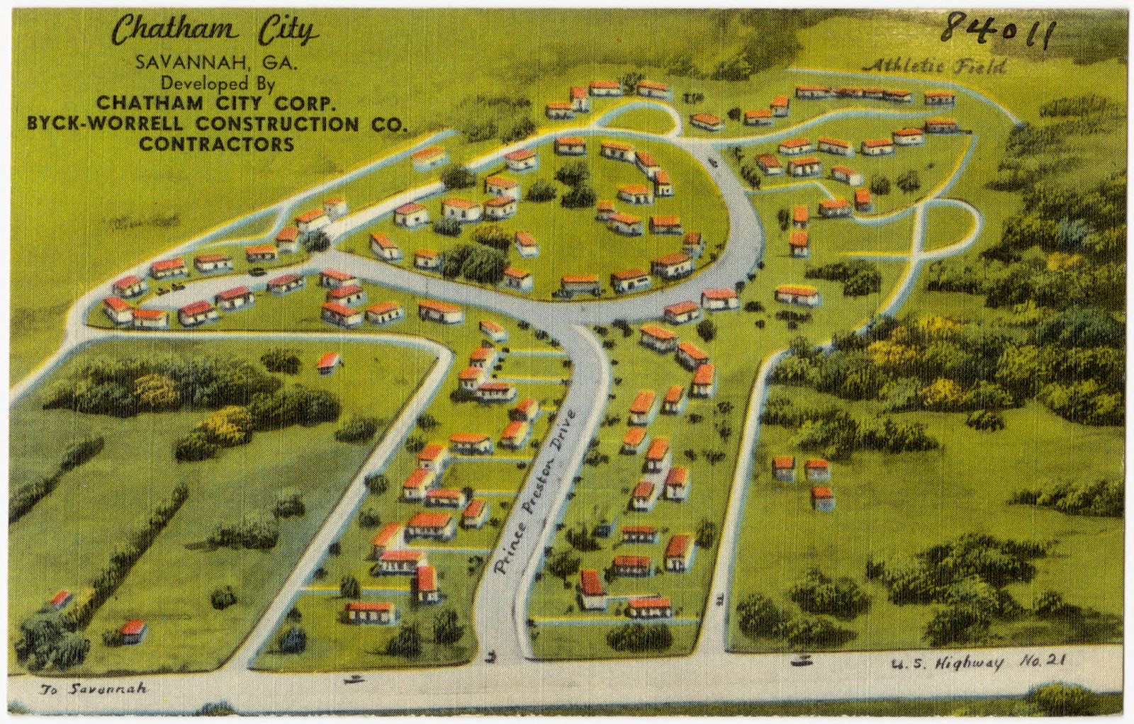
Chatham City, Savannah, Ga., Boston Public Library - undated
Chatham City, Savannah, Ga.. Boston Public Library, via the Digital Public Library of America.

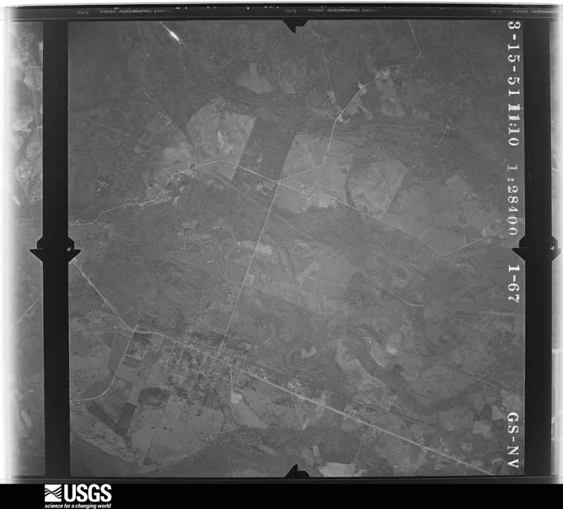
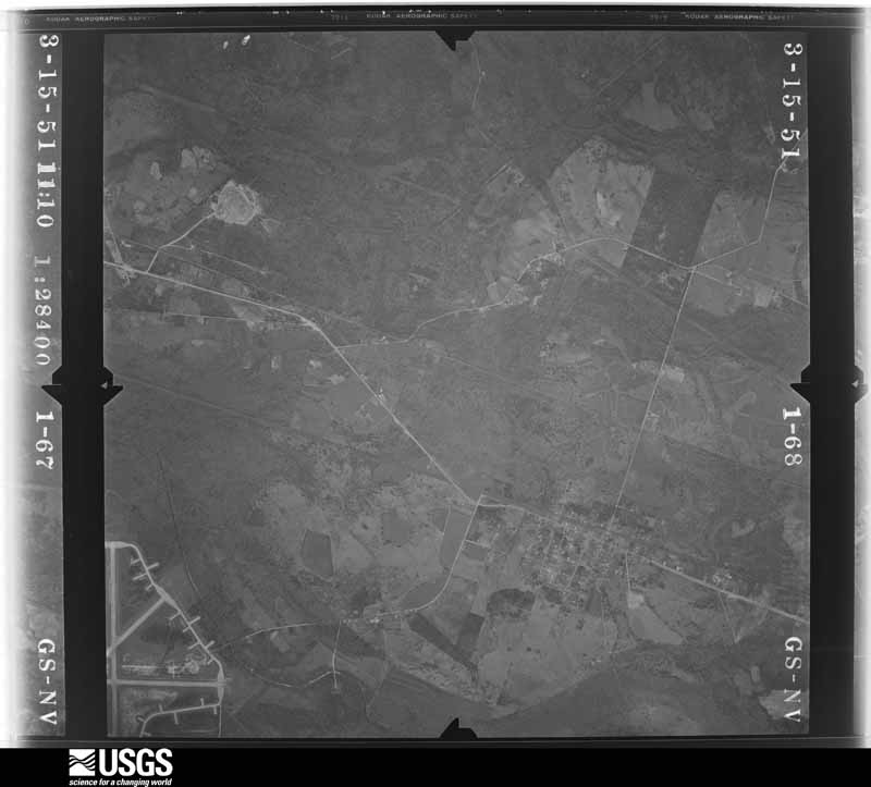
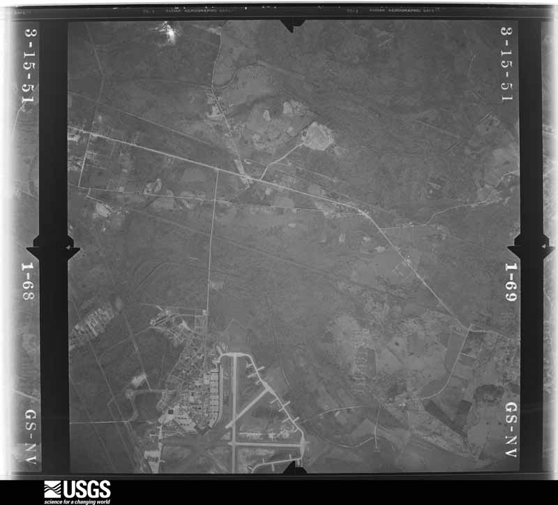
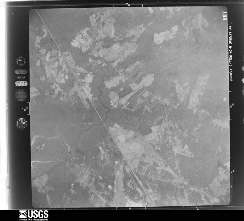
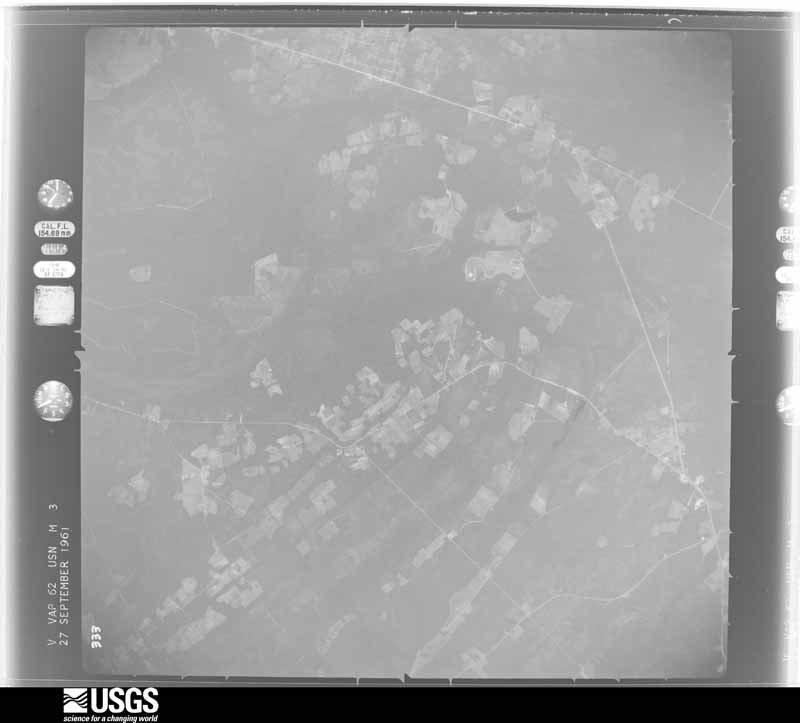
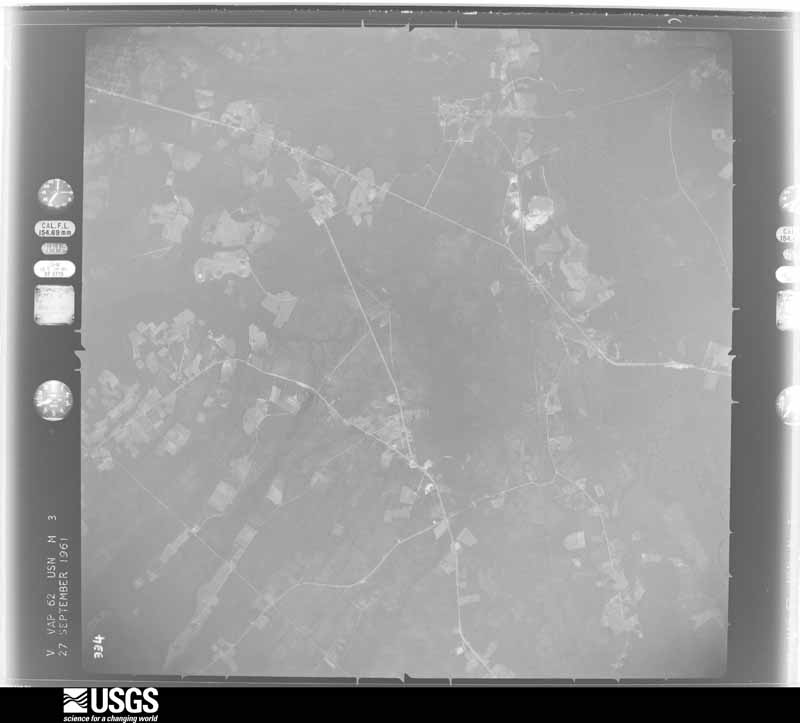
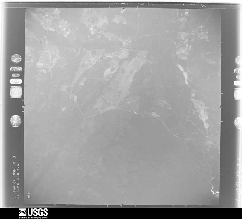
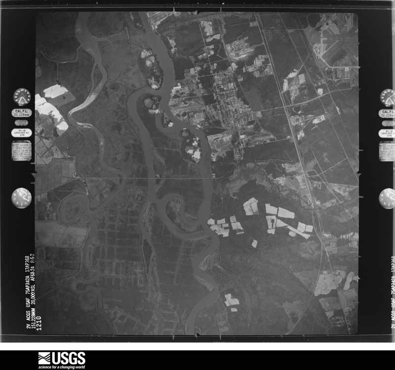
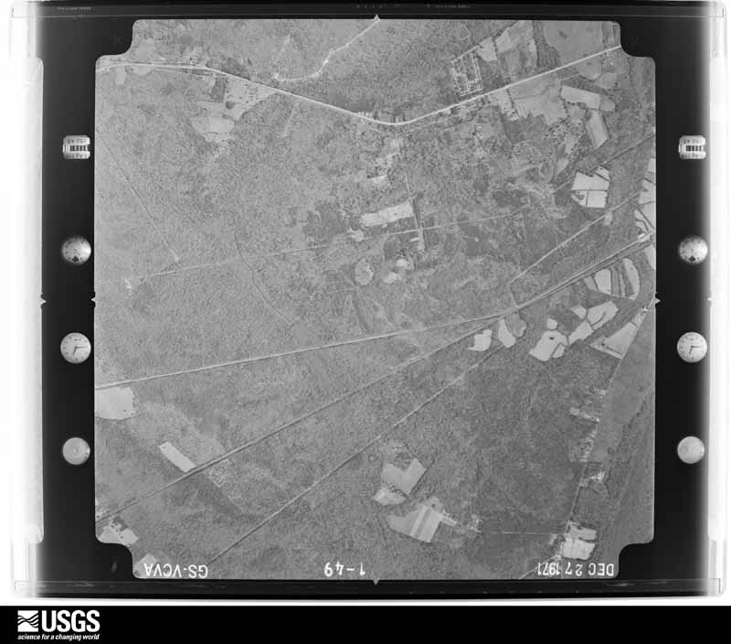
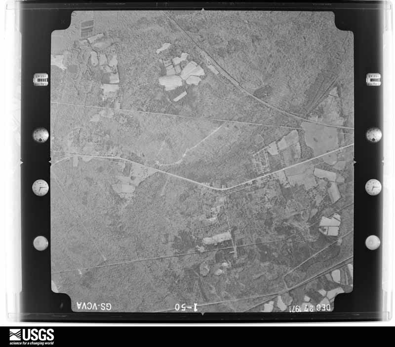
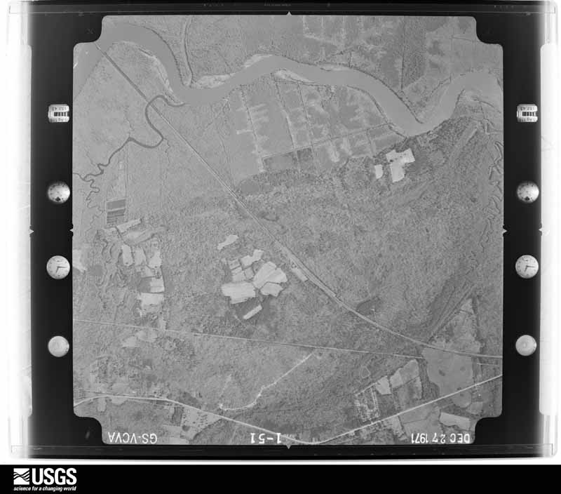
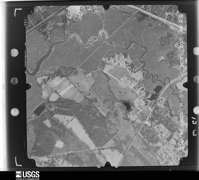
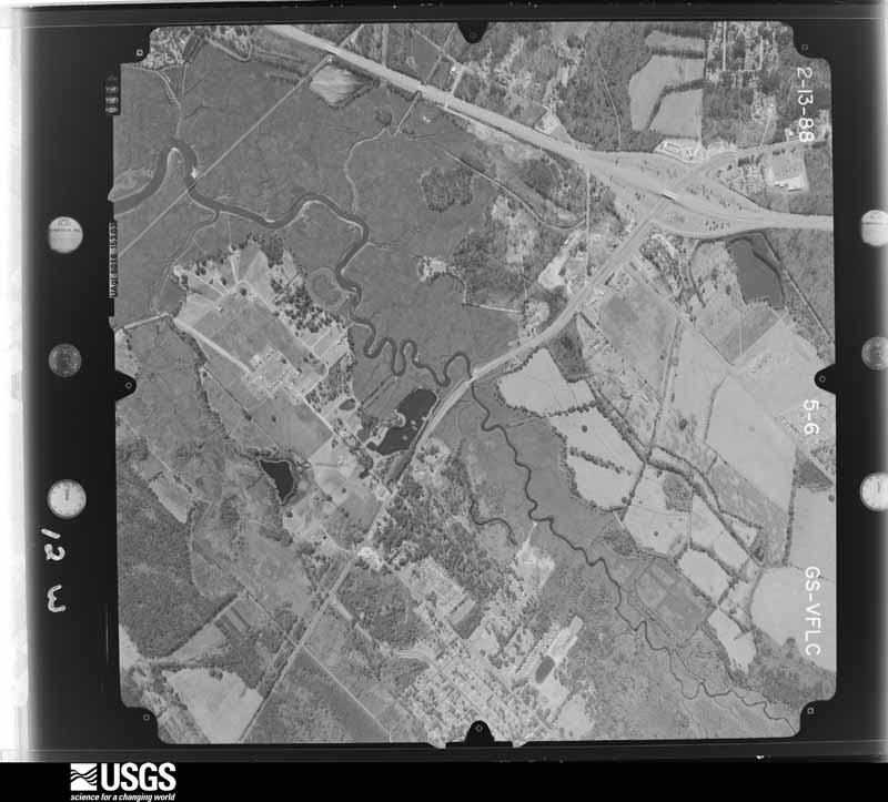
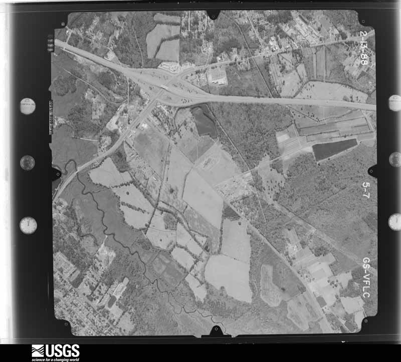
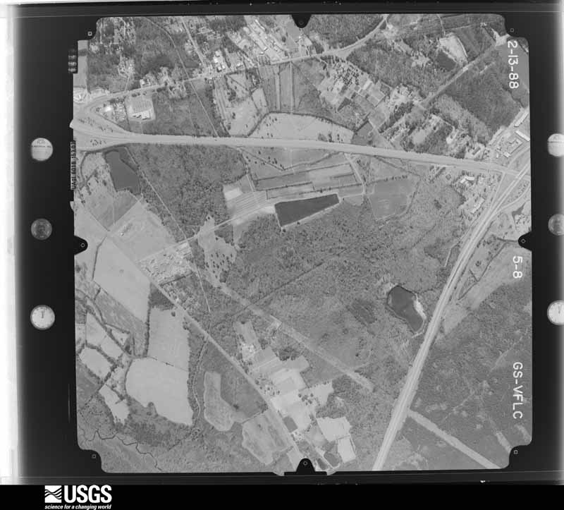
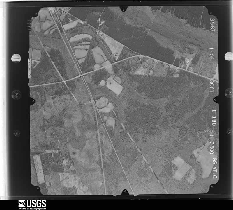
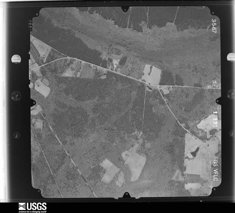
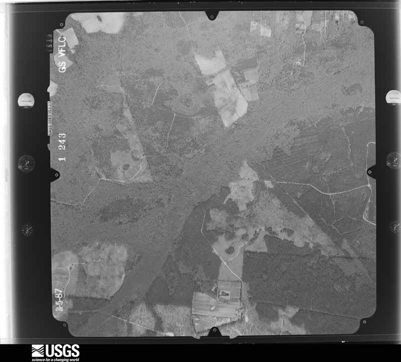
The county from the air

48 shown

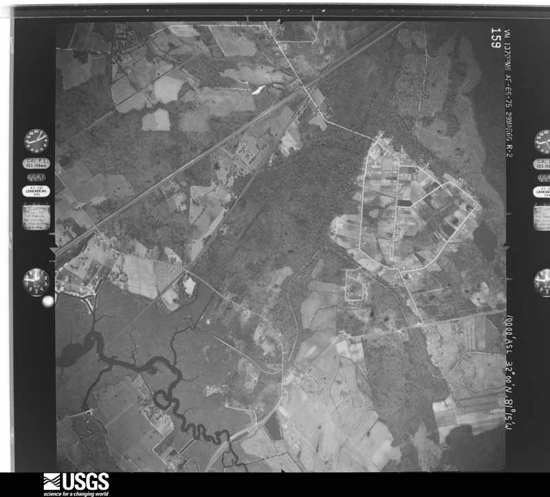
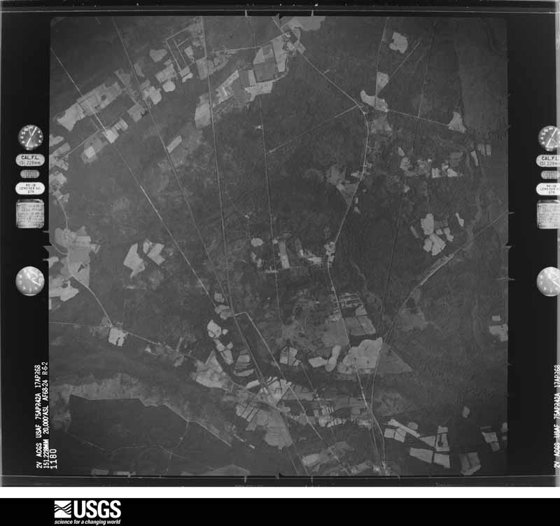
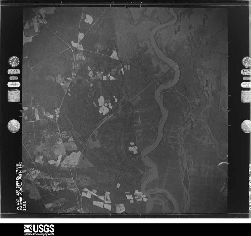
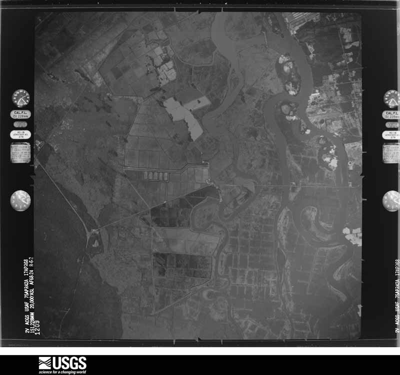
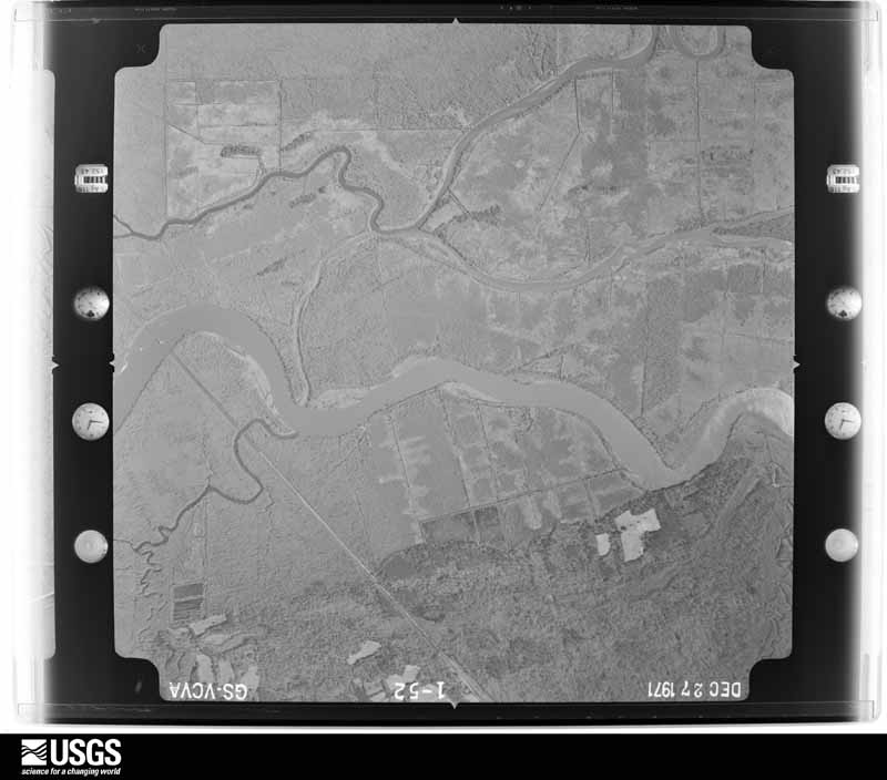
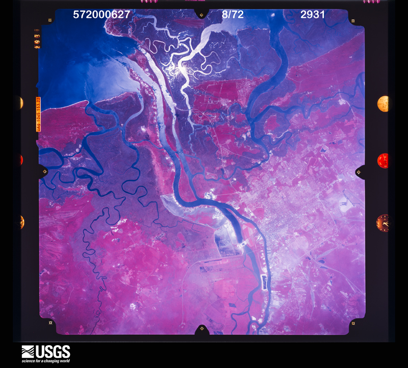
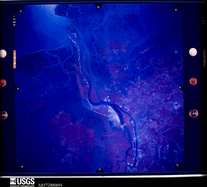
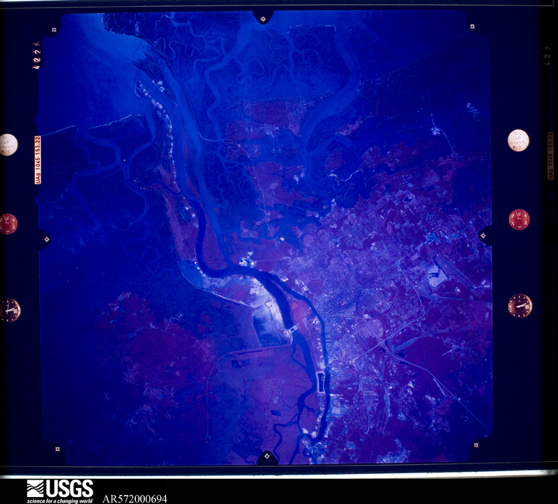
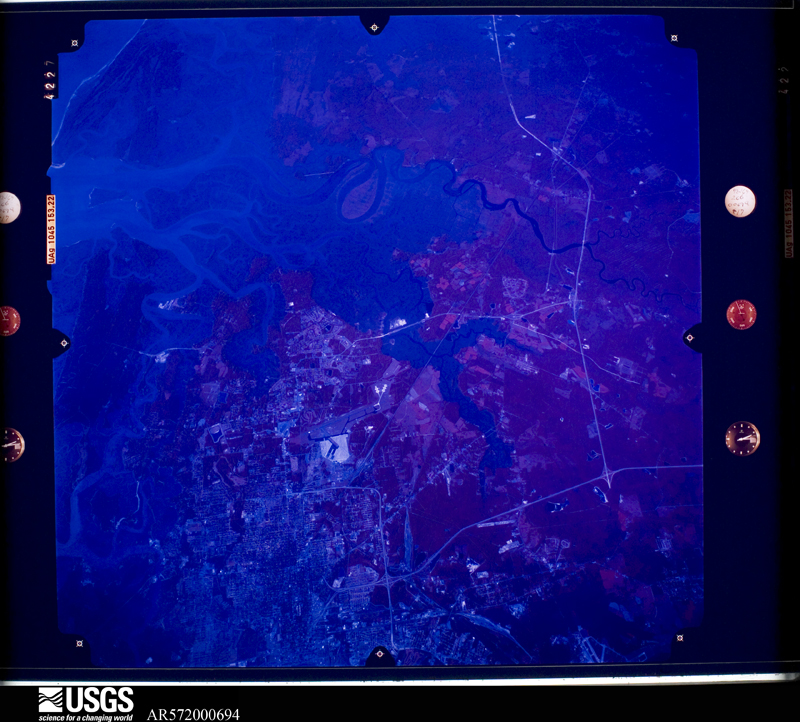
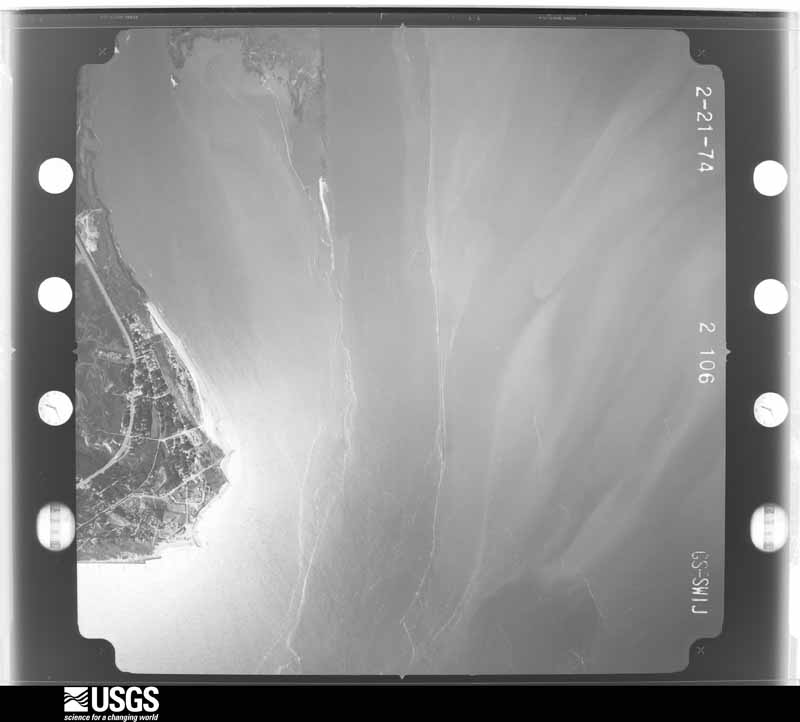
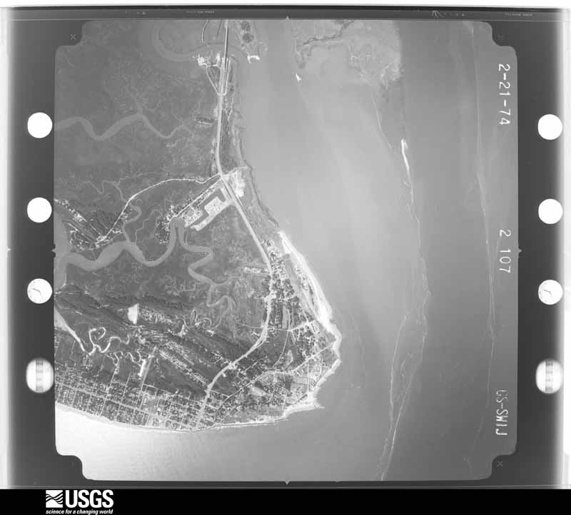
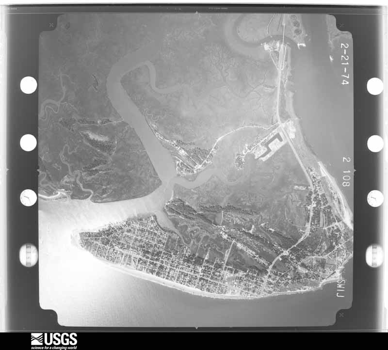
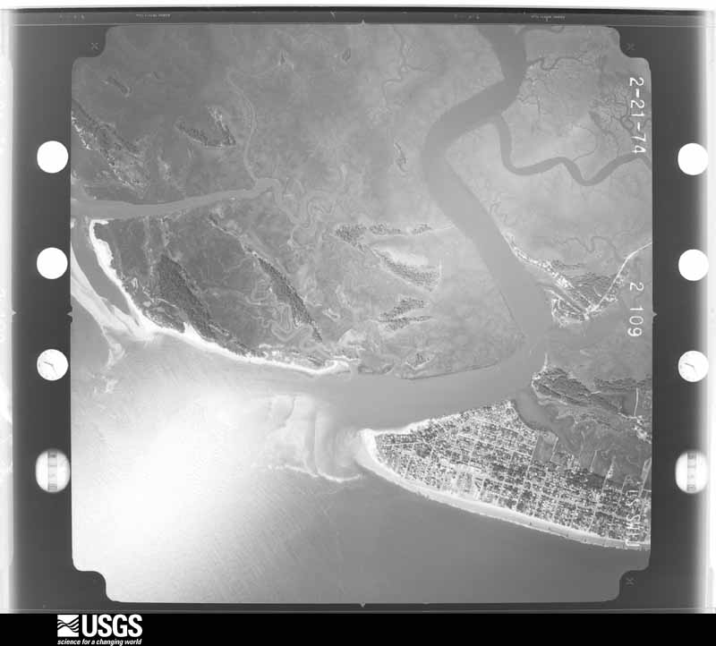
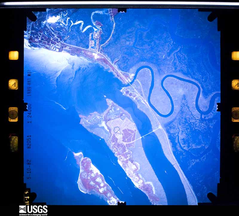
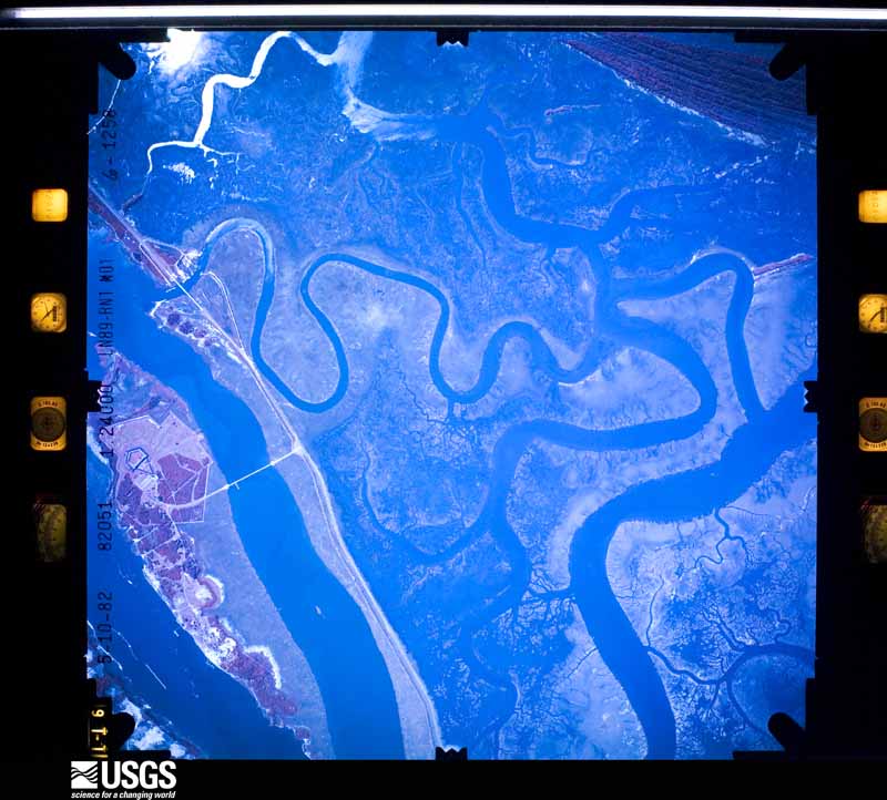
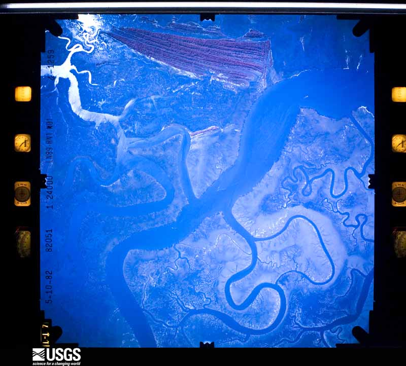
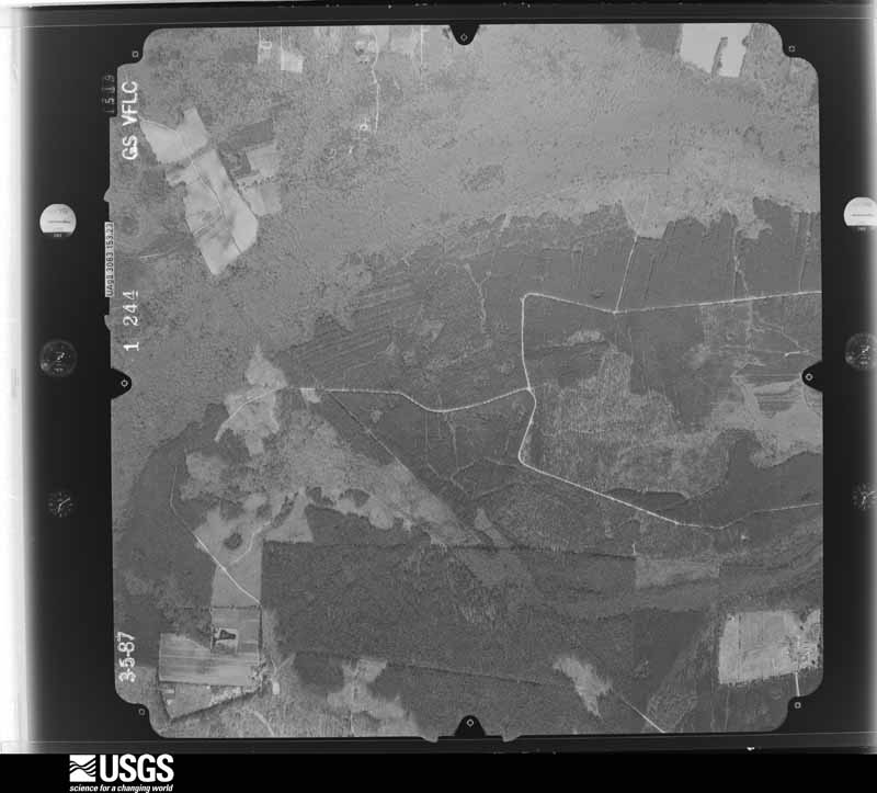
Flown by the U.S. Geological Survey between 1937 and 1989, the Aerial Photo Single Frames collection is the definitive mid-century view of the land: fields, roads and rivers as the camera saw them. The Survey holds 1,998 frames inside the rectangle that bounds this county; the 48 frames below were taken over the county itself, chosen across the decades of flights (at most four a year from that rectangle), so one flight cannot crowd out the rest. The full set is free to browse and download at EarthExplorer under the dataset Aerial Photo Single Frames.

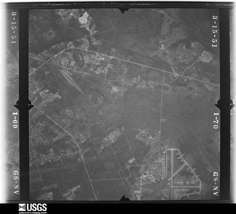
U.S. Geological Survey aerial photograph, 1951-03-15, scale 1:28400
1951-03-15, scale 1:28400. U.S. Geological Survey aerial photograph.
U.S. Geological Survey aerial photograph, 1951-03-15, scale 1:28400
1951-03-15, scale 1:28400. U.S. Geological Survey aerial photograph.
U.S. Geological Survey aerial photograph, 1951-03-15, scale 1:28400
1951-03-15, scale 1:28400. U.S. Geological Survey aerial photograph.
U.S. Geological Survey aerial photograph, 1951-03-15, scale 1:28400
1951-03-15, scale 1:28400. U.S. Geological Survey aerial photograph.
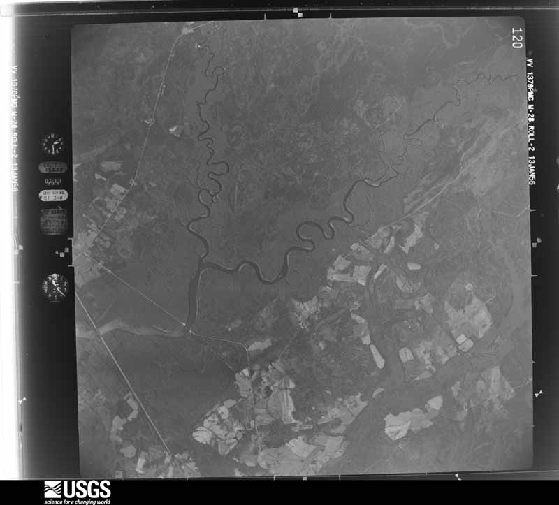
U.S. Geological Survey aerial photograph, 1956-01-17, scale 1:60000
1956-01-17, scale 1:60000. U.S. Geological Survey aerial photograph.
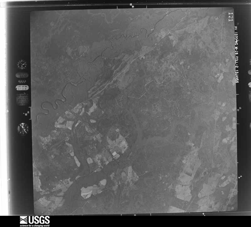
U.S. Geological Survey aerial photograph, 1956-01-17, scale 1:60000
1956-01-17, scale 1:60000. U.S. Geological Survey aerial photograph.
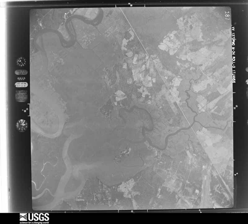
U.S. Geological Survey aerial photograph, 1956-01-17, scale 1:60000
1956-01-17, scale 1:60000. U.S. Geological Survey aerial photograph.
U.S. Geological Survey aerial photograph, 1956-01-17, scale 1:60000
1956-01-17, scale 1:60000. U.S. Geological Survey aerial photograph.
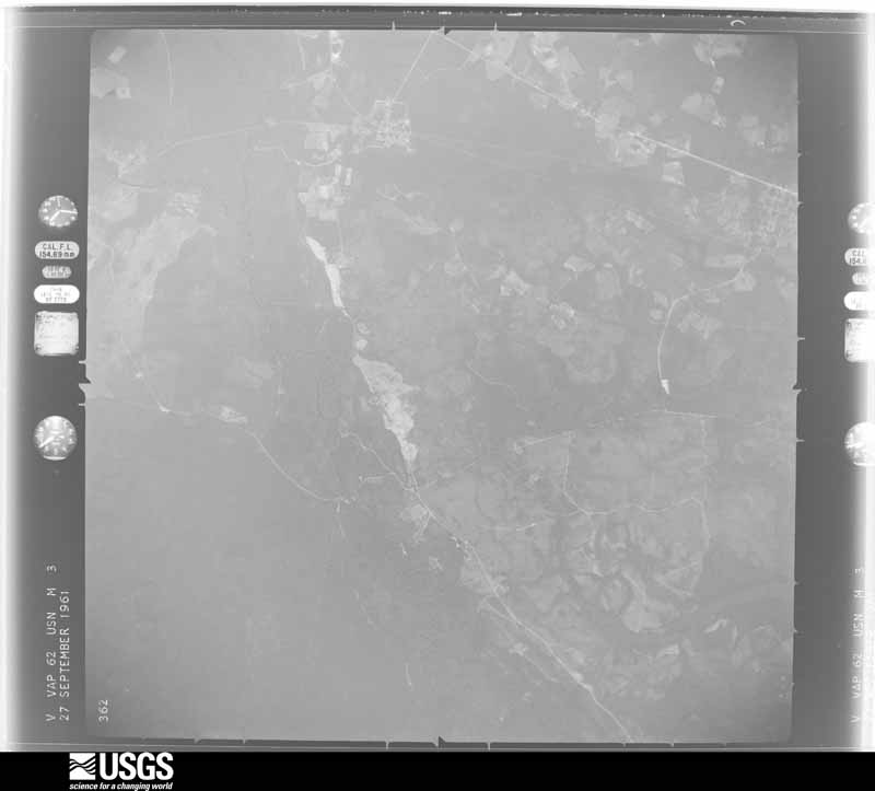
U.S. Geological Survey aerial photograph, 1961-10-01, scale 1:60000
1961-10-01, scale 1:60000. U.S. Geological Survey aerial photograph.
U.S. Geological Survey aerial photograph, 1961-10-01, scale 1:60000
1961-10-01, scale 1:60000. U.S. Geological Survey aerial photograph.
U.S. Geological Survey aerial photograph, 1961-10-01, scale 1:60000
1961-10-01, scale 1:60000. U.S. Geological Survey aerial photograph.
U.S. Geological Survey aerial photograph, 1961-10-01, scale 1:60000
1961-10-01, scale 1:60000. U.S. Geological Survey aerial photograph.
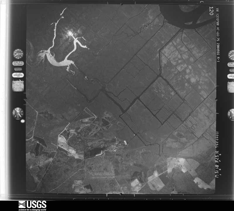
U.S. Geological Survey aerial photograph, 1966-03-29, scale 1:20000
1966-03-29, scale 1:20000. U.S. Geological Survey aerial photograph.
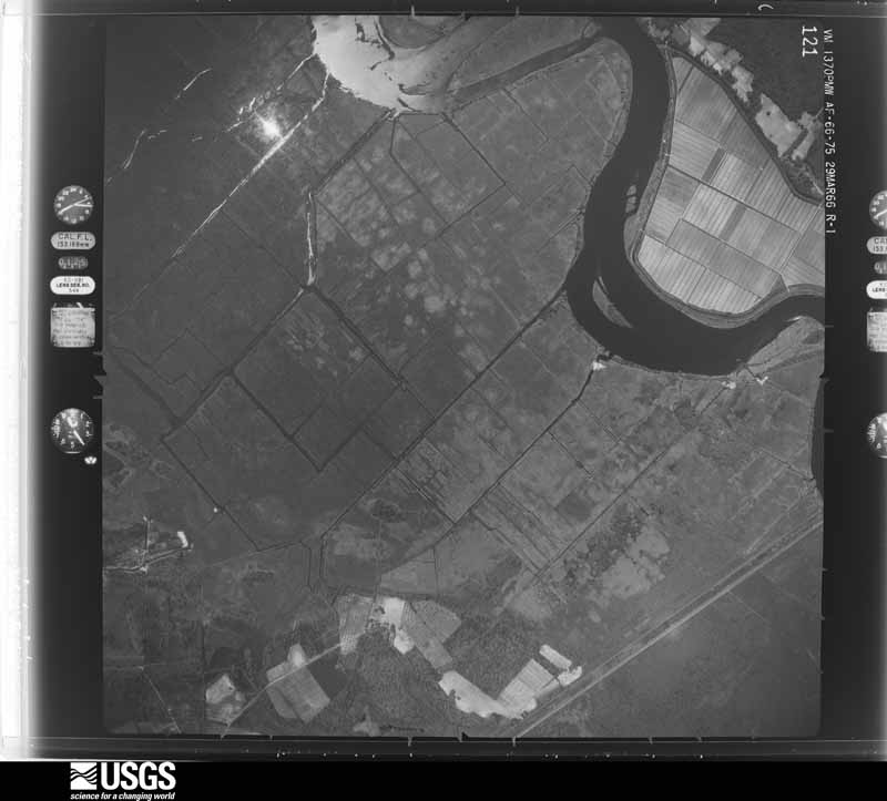
U.S. Geological Survey aerial photograph, 1966-03-29, scale 1:20000
1966-03-29, scale 1:20000. U.S. Geological Survey aerial photograph.
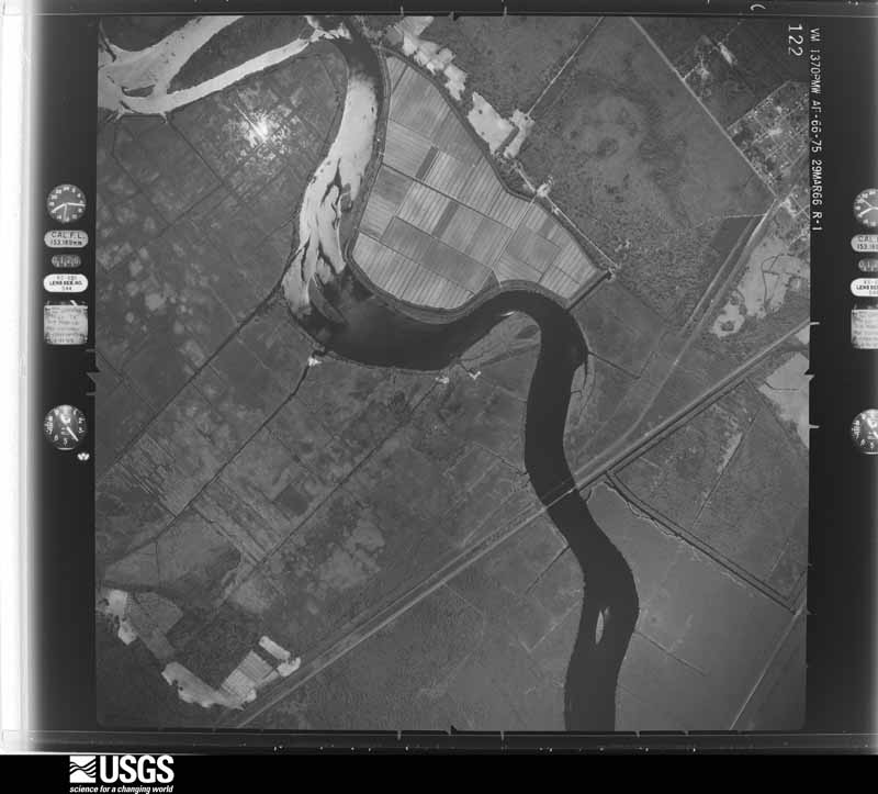
U.S. Geological Survey aerial photograph, 1966-03-29, scale 1:20000
1966-03-29, scale 1:20000. U.S. Geological Survey aerial photograph.
U.S. Geological Survey aerial photograph, 1966-03-29, scale 1:20000
1966-03-29, scale 1:20000. U.S. Geological Survey aerial photograph.
U.S. Geological Survey aerial photograph, 1968-04-16, scale 1:40000
1968-04-16, scale 1:40000. U.S. Geological Survey aerial photograph.
U.S. Geological Survey aerial photograph, 1968-04-16, scale 1:40000
1968-04-16, scale 1:40000. U.S. Geological Survey aerial photograph.
U.S. Geological Survey aerial photograph, 1968-04-16, scale 1:40000
1968-04-16, scale 1:40000. U.S. Geological Survey aerial photograph.
U.S. Geological Survey aerial photograph, 1968-04-16, scale 1:40000
1968-04-16, scale 1:40000. U.S. Geological Survey aerial photograph.
U.S. Geological Survey aerial photograph, 1971-12-27, scale 1:24000
1971-12-27, scale 1:24000. U.S. Geological Survey aerial photograph.
U.S. Geological Survey aerial photograph, 1971-12-27, scale 1:24000
1971-12-27, scale 1:24000. U.S. Geological Survey aerial photograph.
U.S. Geological Survey aerial photograph, 1971-12-27, scale 1:24000
1971-12-27, scale 1:24000. U.S. Geological Survey aerial photograph.
U.S. Geological Survey aerial photograph, 1971-12-27, scale 1:24000
1971-12-27, scale 1:24000. U.S. Geological Survey aerial photograph.
U.S. Geological Survey aerial photograph, 1972-08-19, scale 1:133000
1972-08-19, scale 1:133000. U.S. Geological Survey aerial photograph.
U.S. Geological Survey aerial photograph, 1972-09-22, scale 1:129000
1972-09-22, scale 1:129000. U.S. Geological Survey aerial photograph.
U.S. Geological Survey aerial photograph, 1972-09-22, scale 1:129000
1972-09-22, scale 1:129000. U.S. Geological Survey aerial photograph.
U.S. Geological Survey aerial photograph, 1972-09-22, scale 1:130006
1972-09-22, scale 1:130006. U.S. Geological Survey aerial photograph.
U.S. Geological Survey aerial photograph, 1973-09-16, scale 1:130000
1973-09-16, scale 1:130000. U.S. Geological Survey aerial photograph.
U.S. Geological Survey aerial photograph, 1973-09-16, scale 1:130000
1973-09-16, scale 1:130000. U.S. Geological Survey aerial photograph.
U.S. Geological Survey aerial photograph, 1973-09-16, scale 1:130000
1973-09-16, scale 1:130000. U.S. Geological Survey aerial photograph.
U.S. Geological Survey aerial photograph, 1973-09-16, scale 1:130000
1973-09-16, scale 1:130000. U.S. Geological Survey aerial photograph.
U.S. Geological Survey aerial photograph, 1974-04-07, scale 1:20500
1974-04-07, scale 1:20500. U.S. Geological Survey aerial photograph.
U.S. Geological Survey aerial photograph, 1974-04-07, scale 1:20500
1974-04-07, scale 1:20500. U.S. Geological Survey aerial photograph.
U.S. Geological Survey aerial photograph, 1974-04-07, scale 1:20500
1974-04-07, scale 1:20500. U.S. Geological Survey aerial photograph.
U.S. Geological Survey aerial photograph, 1974-04-07, scale 1:20500
1974-04-07, scale 1:20500. U.S. Geological Survey aerial photograph.
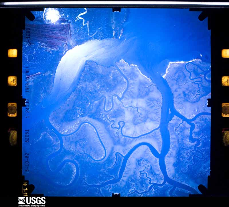
U.S. Geological Survey aerial photograph, 1982-05-10, scale 1:24657
1982-05-10, scale 1:24657. U.S. Geological Survey aerial photograph.
U.S. Geological Survey aerial photograph, 1982-05-10, scale 1:24657
1982-05-10, scale 1:24657. U.S. Geological Survey aerial photograph.
U.S. Geological Survey aerial photograph, 1982-05-10, scale 1:24657
1982-05-10, scale 1:24657. U.S. Geological Survey aerial photograph.
U.S. Geological Survey aerial photograph, 1982-05-10, scale 1:24657
1982-05-10, scale 1:24657. U.S. Geological Survey aerial photograph.
U.S. Geological Survey aerial photograph, 1983-05-01, scale 1:15000
1983-05-01, scale 1:15000. U.S. Geological Survey aerial photograph.
U.S. Geological Survey aerial photograph, 1983-05-01, scale 1:15000
1983-05-01, scale 1:15000. U.S. Geological Survey aerial photograph.
U.S. Geological Survey aerial photograph, 1983-05-01, scale 1:15000
1983-05-01, scale 1:15000. U.S. Geological Survey aerial photograph.
U.S. Geological Survey aerial photograph, 1983-05-01, scale 1:15000
1983-05-01, scale 1:15000. U.S. Geological Survey aerial photograph.
U.S. Geological Survey aerial photograph, 1987-03-01, scale 1:15000
1987-03-01, scale 1:15000. U.S. Geological Survey aerial photograph.
U.S. Geological Survey aerial photograph, 1987-03-01, scale 1:15000
1987-03-01, scale 1:15000. U.S. Geological Survey aerial photograph.
U.S. Geological Survey aerial photograph, 1987-03-01, scale 1:15000
1987-03-01, scale 1:15000. U.S. Geological Survey aerial photograph.
U.S. Geological Survey aerial photograph, 1987-03-01, scale 1:15000
1987-03-01, scale 1:15000. U.S. Geological Survey aerial photograph.

Weather records

65 stations

The thermometers that kept this county's weather, as the federal records hold them. The extremes below are measured values from those records, not estimates.

The 1950 census, district by district

281 districts

Who lived here in 1950, one enumeration district at a time, as the Census Bureau described each district. Each row opens its official National Archives result, with Population Schedules and ED Maps available there.

  • 25-1BN/A
  • 25-1AN/A
  • 25-2De Soto Beach Hotel and Cabana Club (Tract C-1-part) (In Savannah Beach town)
  • 25-3VOID
  • 25-4Tybee Hotel (Tract C-1-part) (In Savannah Beach town)
  • 25-5Thunderbolt town (Tract C-2)
  • 25-6Militia District 5 - That part (Tract C3-part), outside Savannah Beach town, excluding General Oglethorpe Hotel and Golf Club, Naval Section Base, and U.S. Public Health Service Communicable Disease Center Technical Development Division Bounded by County line; County line (Savannah River); Wilmington River, Thunderbolt town limits; Thunderbolt town limits, Wilmington River, South Channel Savannah River, Savannah River, Front River, Savannah city limits, Seaboard Airline Railway, Militia District line
  • 25-7General Oglethorpe Hotel and Golf Club (Tract C3-part) (in Militia District 5)
  • 25-8Naval Section Base (Tract C3-part) (in Militia District 5)
  • 25-9U.S. Public Health Service Communicable Disease Center Technical Development Division (Tract C3-part) (in Militia District 5)
  • 25-10U.S. Coast Guard Station and Lighthouse (Tract C-1 part) (in Savannah Beach town)
  • 25-11Militia District 5 - That part (Tract C3-part), excluding Georgia State College Bounded by Savannah city limits; Thunderbolt town limits, Wilmington River; Militia District line; Militia District line
  • 25-12Tybee Hotel (Tract C-1-part) (In Savannah Beach town)
  • 25-13Militia District 5 - That part (Tract C3-part) Bounded by Front River, Savannah River, South Channel Savannah River; Wilmington River; Thunderbolt town limits, Savannah Electric Power Company Railway; Savannah city limits, Private road, Standard Oil Company Storage Plant property line
  • 25-14Militia District 5 - That part (Tract (C3-part) Bounded by Seaboard Airline Railway; Savannah City limits; Savannah City limits; Militia District line
  • 25-15Militia District 5 - That part (Tract C3-part) Bounded by Front River; Standard Oil Company Storage Plant property line, Private road; Savannah City limits; Savannah city limits
  • 25-16VOID
  • 25-17VOID
  • 25-18VOID
  • 25-19VOID
  • 25-20VOID
  • 25-21VOID
  • 25-22Militia District 5 - That part (Tract C3-part) Bounded by Savannah Electric Power Company Railway; Thunderbolt town limits; Thunderbolt town limits; Savannah City limits
  • 25-23VOID
  • 25-24Militia District 6 - That part (Tract C4-part) Bounded by Militia District line; County line; County line; Rockfish Creek, Little Ogeechee River, Vernon River, Burnside River, Shipyard Creek
  • 25-25Militia District 6 - That part (Tract C4-part) Bounded by Montgomery Cross Rd., Militia District line; Shipyard Creek, Burnside River; Vernon River; White Bluff River
  • 25-26Militia District 6 - That part (Tract C4-part), excluding Chatham County Brown Farm Bounded by De Renne Ave., Middle Ground Rd., Montgomery, Savannah City limits; Militia District line; Montgomery Cross Rd., Buckhalter Rd.; Militia District line (Atlantic Coast Line Railroad)
  • 25-27Chatham County Brown Farm (Tract C4-part) (in Militia District 6)
  • 25-28Militia District 6 - That part (Tract C4-part) Bounded by Buckhalter Rd., Montgomery Cross Rd. White Bluff River, Vernon River Little Ogeechee River, Forest River, Little Ogeechee River Militia District line (Atlantic Coast Line Railroad)
  • 25-29Militia District 6 - That part (Tract C4-part) Bounded by Militia District line (Atlantic Coast Line Railroad); Little Ogeechee River, Forest River; Little Ogeechee River, Rock Fish Creek; County line (Ogeechee River)
  • 25-30VOID
  • 25-31Militia District 6 - That part (Tract C4-part) Bounded by Savannah City limits; Montgomery; Middle Ground Rd.
  • 25-32Militia District 6 - That part (Tract C4-part) Bounded by Savannah City limits; Savannah City limits; W. 56th, W. 56th extended; Militia District line (Atlantic Coast Line Railroad)
  • 25-33Militia District 6 - That part (Tract C4-part) Bound ed by W. 56th extended, W. 56th; Savannah city limits, Belt Ave., Jackson, Staley Ave., Franklin, Homer Ave., Savannah City limits; De Renne Ave.; Militia District line (Atlantic Coast Line Railroad)
  • 25-34Militia District 6 - That part (Tract C4-part) Bounded by Belt Ave.; Savannah City limits; Homer Ave.; Franklin, Staley Ave., Jackson
  • 25-35Militia District 7 - That part (Tract C5-part) Bounded by Savannah City limits; Militia District line (Atlantic Coast Line Railroad); Lumber yard property line; Whatley Ave., Hopkins
  • 25-36Militia District 7 - That part (Tract C5-part) Bounded by Savannah City limits; Savannah city limits, Hopkins, Whatley Ave., Lumber yard property line; Militia District line (Atlantic Coast Line Railroad); Atlantic Coast Line Railroad, Springfield Canal
  • 25-37Militia District 7 - That part (Tract C5-part) Bounded by Militia District line (Savannah and Ogeechee Canal); Savannah City limits; Seaboard Airline Railway; Seaboard Airline Railway
  • 25-38Militia District 7 - That part (Tract C5-part) Bounded by Militia District line; Seaboard Airline Railway (North-South tracks), Seaboard Airline Railway (East-West tracks), Savannah City limits; U.S. Hwy. 17; Little Ogeechee River
  • 25-39Militia District 7 - That part (Tract C5-part) Bounded by Little Ogeechee River; U.S. Hwy. 17, Grove Point Rd., Militia District line (Atlantic Coast Line Railroad); County line (Ogeechee River); Militia District line (Old Ogeechee Canal)
  • 25-40Militia District 7 - That part (Tract C5-part), excluding U.S. Naval Receiving Barracks Bounded by U.S. Hwy. 17, Savannah City limits; Springfield Canal, Atlantic Coast Line Railroad; Militia District line (Atlantic Coast Line Railroad); Grove Point Rd.
  • 25-41U.S. Naval Receiving Barracks (Tract C5-part) (in Militia District 7)
  • 25-42Militia District 8: Garden City town - That part (Tract C7-part) Bounded by Town limits; Town limits; Savannah and Atlanta Railway
  • 25-43Garden City town - That part (Tract C7-part) Bounded by Town limits; Savannah and Atlanta Railway, Town limits, Atlantic Coast Line Railroad; Nelson Ave., Rommel Ave.; Town limits
  • 25-44Garden City town - That part (Tract C7-part) Bounded by Rommel Ave., Nelson Ave., Atlantic Coast Line Railroad; Town limits; Town limits; Town limits
  • 25-45Pooler town (Tract C6)
  • 25-46Militia District 8 - That purt (Tract C7-part) Bounded by County line; County line; Militia District line, Savannah city limits, Front River, Savannah River, Front River, St. Augustine Creek; Seaboard Airline Railway
  • 25-47Militia District 8 - That part (Tract C7-part) Bounded by St. Augustine Creek; Front River, Bonny Bridge Rd. extended, Bonny Bridge Rd., Appleby Rd., U.S. Hwy. 17, Savannah and Atlanta Railway; Garden City town limits, Pipe Makers Canal; Seaboard Airline Railway
  • 25-48Militia District 8 - That part (Tract C7-part), excluding Chatham Air Force Base Bounded by County line; Seaboard Airline Railway; Pipe Makers Canal; Pipe Makers Canal
  • 25-49Chatham Air Force Base (Tract C7-part) (in Militia District 8)
  • 25-50Militia District 8 - That part (Tract C7-part) Bounded by Pipe Makers Canal; Garden City town limits, Savannah and Atlanta Railway, Atlantic Coast Line Railroad, Seaboard Airline Railway, Dundee Canal, Louisville Rd., Seaboard Airline Railway; Militia District line (Savannah and geechee Canal), Seaboard Airline Railway;County line
  • 25-51Militia District 8 - That part (Tract C7-part) Bounded by Seaboard Airline Railway; Militia District line (Savannah and Ogeechee Canal); County line (Ogeechee River); County line
  • 25-52Militia District 8 - That part (Tract C7-part) Bounded by Front River; Savannah City limits; Savannah City limits; Seaboard Airline Railway
  • 25-53Militia District 8 - That part (Tract C7-part) Bounded by Front River; Seaboard Airline Railway; Savannah city limits, U.S. Hwy. 80; Garden City town limits, Brampton Rd.
  • 25-54Militia District 8 - That part (Tract C7-part) Bounded by Drainage ditch, Turnberry, Coleraine Rd., U.S. 17, Private road, Savannah and Atlanta Railway, Savannah Sugar Refinery fence line; Savannah River, Front River; Brampton Rd.; Garden City town limits, Savannah and Atlanta Railway
  • 25-55Militia District 8 - That part (Tract C7-part) Bounded by Appleby Rd., Bonny Bridge Rd., Bonny Bridge Rd. extended, Front River; Front River; Savannah Sugar Refinery fence line, Savannah and Atlanta Railway; U.S. hwy. 17
  • 25-56Militia District 8 - That part (Tract C7-part) Bounded by Savannah and Atlanta Railway; Savannah and Atlanta Railway; Private road; U.S. Hwy. 17
  • 25-57Militia District 8 - That part (Tract C7-part) Bounded by Savannah and Atlanta Railway; U.S. Hwy. 17; Coleraine Rd., Turnberry, Drainage ditch; Savannah and Atlanta Railway
  • 25-58Militia District 8 - That part (Tract C7-part) Bounded by Savannah City limits; Savannah City limits; Militia District line (Savannah and Ogeechee Canal), Seaboard Airline Railway, Louisville Rd., Dundee Canal, Seaboard Airline Railway; Central of Georgia Railway, Dundee Canal, State Hwy. 26
  • 25-59Militia District 8 - That part (Tract C7-part) Bounded by Garden City town limits, U.S. Hwy. 80; Private road, Private road extended, 7th, 7th extended, State Hwy. 26, Dundee Canal; Central of Georgia Railway, Atlantic Coast Line Railroad; Atlantic Coast Line Railroad
  • 25-60Militia District 8 - That part (Tract C7-part) Bounded by U.S. Hwy. 80; Savannah city limits, State Hwy. 26; 7th extended, 7th; Private road extended, Private road
  • 164-1Savannah city, coextensive with Militia Districts 1, 2, 3, and 4: Savannah city - That part in Militia District 1 (Tract 3 - part) Bounded by City limits; Montgomery extended, Montgomery, Militia District line, Montgomery, Militia District line, Montgomery, Militia District line, Montgomery; Liberty; W. Broad, W. Broad extended. This Enumeration District consists of the following blocks: 3W, 4, 13, 14, 23, 24, 25, 26W, 46, 47, 61W, 62, 63, 64, 73, 74, 83, 84, 85, 86W, 100, 101
  • 164-2Savannah city - That part in Militia District 1 (Tract 2 - part) Bounded by City limits; W. Broad extended, W. Broad; Bryan; Fahm, River, Savannah Ogeechee Canal. This Enumeration District consists of the following blocks: 1, 2, 3, 4, 5, 6, 7, 8, 9, 10, 11, 12
  • 164-3Savannah city - That part in Militia District 1 (Tract 2 - part) Bounded by Bryan; W. Broad; Zubly; Fahm. This Enumeration District consists of the following blocks: 13, 14, 15, 16, 17
  • 164-4Savannah city - That part in Militia District 1 (Tract 2 - part) Bounded by Zubly; W. Broad; York; Fahm. This Enumeration District consists of the following blocks: 18, 19, 20, 21, 22, 23, 24
  • 164-5Savannah city - That part in Militia District 1 (Tract 2 - part) Bounded by York; W. Broad; Hull; Fahm. This Enumeration District consists of the following blocks: 25, 26, 27, 28
  • 164-6Savannah city - That part in Militia District 1 (Tract 1 - part) Bounded by City limits; Savannah Ogeechee Canal, River, Fahm; Joachim, W. Boundary, Bay, Bay Street Viaduct; City limits. This Enumeration District consists of the following blocks: 1, 2, 3, 4, 5, 6, 7, 8, 9, 10, 11, 12, 13
  • 164-7Savannah city - That part in Militia District 1 (Tract 1 - part) Bounded by Joachim; Fahm; Zubly; W. Boundary. This Enumeration District consists of the following blocks: 14, 15, 16, 17, 18, 23, 24, 25, 26
  • 164-8Savannah city - That part in Militia District 1 (Tract 1 - part) Bounded by Zubly; Fahm; Hull; Lumber, Oglethorpe Ave., W. Boundary. This Enumeration District consists of the following blocks: 27, 28, 29, 30, 34
  • 164-9Savannah city - That part in Militia District 1 (Tract 1 - part) Bounded by Bay, Bay Street Viaduct, Bay; W. Boundary, Oglethorpe Ave., Lumber, Hull, W. Boundary; Louisville Rd.; Lathrop Ave. E. This Enumeration District consists of the following blocks: 19, 20, 21, 22, 31, 32, 33, 35
  • 164-10Savannah city - That part in Militia District 1 (Tract 2 - part) Bounded by Smart; City limits; Bay; Carolan. This Enumeration District consists of the following blocks: 3, 4, 5, 6, 7, 8, 9, 10, 11, 12, 13
  • 164-11Savannah city - That part in Militia District 1 (Tract 2 - part) Bounded by City limits; City limits; Smart, Carolan, Bay, Bay Ave.; Celend Ave., Hopewell Ave. This Enumeration District consists of the following blocks: 1, 2, 14, 15
  • 164-12Savannah city - That part in Militia District 1 (Tract 2 - part) Bounded by City limits; Hopewell Ave., Celend Ave., Pay Ave., Bay, Lincoln Ave.; Augusta Ave.; City limits. This Enumeration District consists of the following blocks: 16, 17, 18, 19, 20, 21, 22, 23, 24, 25, 26, 27, 28, 29, 30, 31, 32, 33, 34, 35
  • 164-13Savannah city - That part in Militia District 1 (Tract 6 - part) Bounded by Bay; Lathrop Ave. E.; Love; De Lyon, Richards, Ferrill. This Enumeration District consists of the following blocks: 1, 2, 3, 16, 17, 18, 19, 20, 21, 22
  • 164-14Savannah city - That part in Militia District 1 (Tract 6 - part) Bounded by Bay; Ferrill; Richards; West. This Enumeration District consists of the following block: 4
  • 164-15Savannah city - That part in Militia District 1 (Tract 6 - part) Bounded by Bay; West, Richards, De Lyon; Augusta Ave.; McIntyre, Hadson, Millen. This Enumeration District consists of the following blocks: 5, 6, 7, 15, 23, 24, 25, 32, 41
  • 164-16Savannah city - That part in Militia District 1 (Tract 6 - part) Bounded by Bay; Millen, Hudson, McIntyre; Augusta Ave.; Lincoln Ave. This Enumeration District consists of the following blocks: 8, 9, 10, 11, 12, 13, 14, 26, 27, 28, 29, 30, 31
  • 164-17Savannah city - That part in Militia District 1 (Tract 6 - part) Bounded by Augusta Ave.; Beech; Comer; City limits, 2nd, Alexander. This Enumeration District consists of the following blocks: 42, 55, 56, 57, 58, 59, 60, 61, 62, 63, 64, 65, 68, 69, 70, 71, 72
  • 164-18Savannah city - That part in Militia District 1 (Tract 6 - part) Bounded by Love; Ferrill, Augusta Ave., Lathrop Ave. E.; Louisville Rd., City limits; City limits, Comer, Beech, Augusta Ave., De Lyon. This Enumeration District consists of the following blocks: 33, 34, 35, 40, 66, 67, 73
  • 164-19Savannah city - That part in Militia District 1 (Tract 6 - part) Bounded by Love; Lathrop Ave. E.; Augusta Ave.; Ferrill. This Enumeration District consists of the following blocks: 36, 37, 38, 39
  • 164-20Savannah city - That part in Militia District 1 (Tract 6 - part) Bounded by Louisville Rd.; Stiles Ave.; Gwinnett, Allen Ave., Gwinnett, City limits; City limits. This Enumeration District consists of the following blocks: 80, 81, 82, 83, 84, 85, 91, 92, 93, 94, 95, 96, 97, 98, 99, 100, 101
  • 164-21Savannah city - That part in Militia District 1 (Tract 6 - part) Bounded by Louisville Rd.; N. Boundary, Dixon, Philpot; Gwinnett; Stiles Ave. This Enumeration District consists of the following blocks: 74, 75, 76, 77, 78, 79, 86, 87, 88, 89, 90, 102, 103, 104
  • 164-22Savannah city - That part in Militia District 1 (Tract 6 - part) Bounded by Hull; W. Broad; Berrien, Lumber, Walker; N. Boundary. This Enumeration District consists of the following blocks: 1, 2, 3, 4, 5, 6, 7, 8, 9, 10, 11, 12
  • 164-23Savannah city - That part in Militia District 1 (Tract 7 - part) Bounded by Berrien; Stewart; Wilson, Cohen; Guerard, Walker, Lumber. This Enumeration District consists of the following blocks: 13, 14, 15, 16, 17, 18, 19, 20
  • 164-24Savannah city - That part in Militia District 1 (Tract 7 - part) Bounded by Walker, Guerard, Cohen, Wilson, Stewart, Berrien; W. Broad, Roberts, W. Boundary; Gwinnett; Philpot, Dixon, W. Boundary. This Enumeration District consists of the following blocks: 18, 21, 22, 23, 24, 27
  • 164-25Savannah city - That part in Militia District 1 (Tract 7 - part) Bounded by Roberts; W. Broad; Huntingdon. This Enumeration District consists of the following block: 25
  • 164-26Savannah city - That part in Militia District 1 (Tract 7 - part) Bounded by Huntingdon; W. Broad; Oak; Magnolia, Roberts. This Enumeration District consists of the following block: 26
  • 164-27Savannah city - That part in Militia District 1 (Tract 7 - part) Bounded by Oak; W. Broad; Maple, Russell, Magnolia, Gwinnett; W. Boundary, Roberts, Magnolia. This Enumeration District consists of the following blocks: 28, 29
  • 164-28Savannah city - That part in Militia District 1 (Tract 7 - part) Bounded by Russell, Maple; W. Broad; Gwinnett; Magnolia. This Enumeration District consists of the following block: 30
  • 164-29Savannah city - That part in Militia District 1 (Tract 8 - part) Bounded by Liberty; Montgomery; Gaston; W. Broad. This Enumeration District consists of the following blocks: 6, 7, 21, 22, 36, 37, 53, 54, 65
  • 164-30Savannah city - That part in Militia District 1 (Tract 13 - part) Bounded by Gaston; Montgomery; Park Ave.; W. Broad. This Enumeration District consists of the following blocks: 7, 8, 9, 24, 25, 26, 27, 40, 41, 42, 43
  • 164-31Savannah city - That part in Militia District 1 (Tract 12 - part) Bounded by Gwinnett; W. Broad; Walburg, Burroughs, Bolton Lane W.; Cuyler. This Enumeration District consists of the following blocks: 1, 2, 14, 15, 16, 17, 21
  • 164-32Savannah city - That part in Militia District 1 (Tract 12 - part) Bounded by Gwinnett; Cuyler, Bolton Lane W., Magnolia; Laurel Grove Cemetery north boundary, Spring; City limits, Springfield Canal. This Enumeration District consists of the following blocks: 3, 4, 5, 6, 7, 8, 9, 10, 11, 12, 13, 18
  • 164-33Savannah city - That part in Militia District 1 (Tract 12 - part) Bounded by Bolton Lane W., Burroughs, Waldburg; W. Broad; Park Ave.; Magnolia. This Enumeration District consists of the following blocks: 19, 20, 22, 23, 24, 25, 26, 27
  • 164-34Savannah city - That part in Militia District 1 (Tract 12 - part) Bounded by Park Ave.; W. Broad; Duffy, Cuyler, Duffy Lane; W. Magnolia. This Enumeration District consists of the following blocks: 28, 29, 30, 31, 32, 33, 36
  • 164-35Savannah city - That part in Militia District 1 (Tract 12 - part) Bounded by Duffy Lane W., Cuyler, Duffy; W. Broad; Anderson; Magnolia. This Enumeration District consists of the following blocks: 34, 35, 37, 38, 39, 40, 41, 42
  • 164-36Savannah city - That part in Militia District 1 (Tract 18-part) Bounded by Park Ave.; Montgomery; 34th W.; W. Broad. This Enumeration District consists of the following blocks: 5, 6, 15, 16, 24, 25, 34, 44, 45, 55
  • 164-37Savannah city - That part in Militia District 1 (Tract 17-part) Bounded by Anderson; W. Broad; 33rd W., Burroughs, 33rd Lane; Ogeechee Rd. This Enumeration District consists of the following blocks: 1, 2, 3, 4, 5, 6, 7
  • 164-38Savannah city - That part in Militia District 1 (Tract 17-part) Bounded by 33rd Lane, Burroughs, 33rd W.; W. Broad; Kline, Nichols; Florance, 34th, Ogeechee Rd. This Enumeration District consists of the following blocks: 8, 9, 10, 11
  • 164-39Savannah city - That part in Militia District 1 (Tract 17-part) Bounded by Nichols, Kline; W. Broad; W. 36th; Ogeechee Rd., 35th W., Florance This Enumeration District consists of the following blocks: 21, 22, 23, 24, 25, 26, 27, 28, 29, 30, 31
  • 164-40Savannah city - That part in Militia District 1 (Tract 17-part) Bounded by 34th; Florance; 35th W., Ogeechee Rd., 36th; Kollock This Enumeration District consists of the following blocks: 12, 13, 14, 15, 16, 17, 18, 19, 20, 32, 33, 34, 35
  • 164-41Savannah city - That part in Militia District 1 (Tract 16-part) Bounded by Laurel Grove Cemetery north boundary; Magnolia, Anderson, Ogeechee Rd., 34th, Kollock; City limits; Spring This Enumeration District consists of the following block: 1
  • 164-42Savannah city - That part in Militia District 1 (Tract 33-part) Bounded by Gwinnett, Allen Ave., Gwinnett; Springfield Canal; City limits; Allen Ave., Winburn, Carter. This Enumeration District consists of the following blocks: 1, 2, 3, 4, 5, 22, 23, 24, 25, 26, 27, 28, 44, 45, 46, 47, 48, 49
  • 164-43Savannah city - That part in Militia District 1 (Tract 33-part) Bounded by Gwinnett; Carter, Winburn, Allen Ave.; City limits; City limits. This Enumeration District consists of the following blocks: 6, 7, 8, 9, 10, 11, 12, 13, 14, 15, 16, 17, 18, 19, 20, 21, 29, 30, 31, 32, 33, 34, 35, 36, 37, 38, 39, 40, 41, 42, 43
  • 164-44Savannah city - That part in Militia District 1 (Tract 23-part) Bounded by 36th W., Ogeechee Rd., 36th W.; Bulloch; 39th, Ogeechee Rd.; Kollock. This Enumeration District consists of the following blocks: 5, 6, 7, 8, 9, 20, 21, 22, 23, 42
  • 164-45Savannah city - That part in Militia District 1 (Tract 23-part) Bounded by 36th W.; Burroughs, 37th W., Florance; 39th; Bulloch. This Enumeration District consists of the following blocks: 2, 3, 4, 10, 11, 12, 18, 19
  • 164-46Savannah city - That part in Militia District 1 (Tract 23-part) Bounded by 37th, Burroughs, 36th; W. Broad; 39th; Florance. This Enumeration District consists of the following blocks: 1, 13, 14, 15, 16, 17
  • 164-47Savannah city - That part in Militia District 1 (Tract 23-part) Bounded by 39th; W. Broad; 40th Lane; N. Florance. This Enumeration District consists of the following blocks: 30, 31, 32, 33, 36
  • 164-48Savannah city - That part in Militia District 1 (Tract 23-part) Bounded by 39th; Florance; 41st; Ogeechee Rd. This Enumeration District consists of the following blocks: 24, 25, 26, 27, 28, 29, 37, 38, 39, 40, 41, 43
  • 164-49Savannah city - That part in Militia District 1 (Tract 23-part) Bounded by 41st; Florance; Victory Dr., City limits; City limits, Ogeechee Rd. This Enumeration District consists of the following blocks: 44, 45, 46, 47, 48, 49, 54, 55, 56, 57, 58
  • 164-50Savannah city - That part in Militia District 1 (Tract 23-part) Bounded by 40th Lane W.; W. Broad; Victory Dr.; Florance. This Enumeration District consists of the following blocks: 34, 35, 50, 51, 52, 53
  • 164-51Savannah city - That part in Militia District 1 (Tract 24-part) Bounded by 34th W.; Montgomery; Victory Dr.; W. Broad. This Enumeration District consists of the following blocks: 7, 8, 9, 21, 22, 35, 36, 49, 50, 60, 61
  • 164-52Savannah city - That part in Militia District 1 (Tract 28-part) Bounded by Victory Dr.; Montgomery; City limits; Florance. This Enumeration District consists of the following blocks: 1, 2, 3, 4, 5, 12, 13, 14, 15, 24, 25, 32, 40, 41, 42, 50, 51, 56, 57, 62, 63, 68, 69, 70
  • 164-53Savannah city - That part in Militia District 1 (Tract 28-part) Bounded by Victory Dr.; Florance; City limits; City limits. This Enumeration District consists of the following blocks: 6, 7, 8, 9, 10, 11, 26, 27, 28, 29, 30, 31, 43, 44, 45, 46, 47, 48, 49, 58, 59, 60, 61, 71, 72, 73, 74, 75, 76
  • 164-54Savannah city - That part in Militia District 2 (Tract 3 - part) Bounded by City limits; Militia District line, Barnard, Militia District line, Barnard, Militia District line, Barnard; Broughton; Montgomery, Militia District line, Montgomery, Militia District line. This Enumeration District consists of the following blocks: 3E, 5, 10W, 11, 12, 15, 16, 21, 22, 26E, 27, 28, 29W, 35, 36, 38, 39, 44, 45
  • 164-55Savannah city - That part in Militia District 2 (Tract 3 - part) Bounded by Broughton; Barnard, Militia District line, Barnard; Oglethorpe Ave.; Montgomery, Militia District line, Montgomery. This Enumeration District consists of the following blocks: 48, 49, 56W, 57, 58, 59, 60, 61E, 65, 66, 71, 72
  • 164-56Savannah city - That part in Militia District 2 (Tract 3 - part) Bounded by Oglethorpe Ave.; Barnard, Militia District line, Barnard; Liberty; Militia District line, Montgomery. This Enumeration District consists of the following blocks: 75, 76, 81, 82, 86E, 87, 88, 89, 90W, 98, 99, 102, 103
  • 164-57Savannah city - That part in Militia District 2 (Tract 8 - part) Bounded by Liberty; Barnard, Militia District line, Barnard; Jones, Tattnall, Jones; Montgomery. This Enumeration District consists of the following blocks: 3, 4, 5, 8, 16W, 17, 18, 19, 20, 23, 24, 25, 26
  • 164-58Savannah city - That part in Militia District 2 (Tract 8 - part) Bounded by Jones, Tattnall, Jones; Barnard, Militia District line, Barnard; Gaston; Montgomery. This Enumeration District consists of the following blocks: 33, 34, 35, 38, 39, 40, 48W, 49, 50, 51, 52, 55, 56, 57, 62, 63, 64
  • 164-59Savannah city - That part in Militia District 2 (Tract 13 - part) Bounded by Gaston; Barnard; Hall, Jefferson, Lorch Lane; Montgomery. This Enumeration District consists of the following blocks: 3, 4, 5, 6, 10, 11, 13, 14
  • 164-60Savannah city - That part in Militia District 2 (Tract 13 - part) Bounded by Lorch Lane, Jefferson, Hall Barnard; Bolton; Montgomery. This Enumeration District consists of the following blocks: 12, 19, 20, 21, 22, 23, 28, 29, 30, 31
  • 164-61Savannah city - That part in Militia District 2 (Tract 13 - part) Bounded by Bolton; Barnard; Park Ave.; Montgomery. This Enumeration District consists of the following blocks: 36, 37, 38, 39, 44, 45, 46, 47
  • 164-62Savannah city - That part in Militia District 2 (Tract 18-part) Bounded by Park Ave.; Barnard; Henry, Jefferson, Henry Lane; Montgomery. This Enumeration District consists of the following blocks: 3, 4, 7, 8, 13, 14, 17, 18, 23
  • 164-63Savannah city - That part in Militia District 2 (Tract 18-part) Bounded by Henry Lane, Jefferson, Henry; Barnard; 31st; Montgomery. This Enumeration District consists of the following blocks: 22, 26, 27, 32, 33, 35, 36
  • 164-64Savannah city - That part in Militia District 2 (Tract 18-part) Bounded by 31st; Barnard; 34th; Montgomery. This Enumeration District consists of the following blocks: 42, 43, 46, 47, 52, 53, 54
  • 164-65Savannah city - That part in Militia District 2 (Tract 24-part) Bounded by 34th; Barnard; 37th; Montgomery. This Enumeration District consists of the following blocks: 5, 6, 10, 11, 19, 20
  • 164-66Savannah city - That part in Militia District 2 (Tract 24-part) Bounded by 37th; Barnard; 40th; Montgomery. This Enumeration District consists of the following blocks: 23, 24, 32, 33, 34, 37, 38
  • 164-67Savannah city - That part in Militia District 2 (Tract 24-part) Bounded by 40th; Barnard; Victory Dr.; Montgomery. This Enumeration District consists of the following blocks: 47, 48, 51, 52, 58, 59, 62, 63
  • 164-68Savannah city - That part in Militia District 2 (Tract 28-part) Bounded by Victory Dr.; Barnard, Militia District line, Barnard, Militia District line; 52nd W.; Montgomery. This Enumeration District consists of the following blocks: 16, 20, 23, 33W, 35W, 36, 37, 38W, 39, 52, 53W, 55, 64, 66W, 67
  • 164-69Savannah city - That part in Militia District 2 (Tract 28-part) Bounded by 52nd W.; Militia District line; 59th; Montgomery, City limits. This Enumeration District connists of the following blocks: 77, 78W, 79W, 80, 81, 82W, 84W, 85, 86, 87W, 90W, 91, 92, 93W
  • 164-70Savannah city - That part in Militia District 2 (Tract 34-part) Bounded by City limits; Montgomery, 59th, Militia District line; 61st, Montgomery, Montgomery extension, 63rd; City limits. This Enumeration District consists of the following blocks: 13W, 14, 15, 16, 17, 18, 19, 20, 21, 22W, 34, 35, 36, 37
  • 164-71Savannah city - That part in Militia District 3 (Tract 4 - part), excluding John Wesley Hotel and Annex in Block 23 and The Savannah Hotel in Block 26 Bounded by City limits; Militia District line, Abercorn, Militia District line, Abercorn; State, Drayton, Congress Lane E.; Bull, Congress, Bull, Bryan, Bull, Bay, Bull, Bull extended. This Enumeration District consists of the following blocks: 2, 7, 8, 9, 10, 21W, 22, 23-part, 24, 25, 26-part, 27, 34, 37
  • 164-72Savannah city - That part in Militia District 3 (Tract 4 - part), comprising John Wesley Hotel and Annex in Block 23
  • 164-73Savannah city - That part in Militia District 3 (Tract 4 - part), comprising the Savannah Hotel in Block 26
  • 164-74Savannah city - That part in Militia District 3 (Tract 4 - part), excluding U.S. Marine Hospital in Block 56 Bounded by Congress Lane E.; Drayton, State; Militia District line, Abercorn; Oglethorpe; Bull, York, Bull, State, Bull. This Enumeration District consists of the following blocks: 35, 36, 50W, 51, 52, 53, 54, 55, 56-part, 63, 64
  • 164-75Savannah city - That part in Militia District 3 (Tract 4 - part), including U.S. Marine Hospital in Block 56
  • 164-76Savannah city - That part in Militia District 3 (Tract 4 - part) Bounded by Oglethorpe; Abercorn; Liberty; Bull, Perry, Bull, Hull, Bull. This Enumeration District consists of the following blocks: 65, 66, 67, 73, 74, 75, 76, 77, 78, 84, 85, 86
  • 164-77Savannah city - That part in Militia District 3 (Tract 3 - part), excluding Pulaski Hotel in Block 19 and Whitney Hotel in Block 41 Bounded by City limits; Bull extended, Bull, Bay, Bull, Bryan, Bull, Congress, Bull, State, Bull, York, Bull; York Lane W.; Barnard, Militia District line, Barnard, Militia District line, Barnard, Militia District line. This Enumeration District consists of the following blocks: 1, 2, 6, 7, 8, 9, 10E, 17, 18, 19-part, 20, 29E, 30, 31, 32, 33, 34, 40, 41-part, 42, 43, 50, 51, 52, 53, 54, 55, 56E, 67, 68
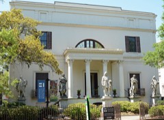
  • 164-78Savannah city - That part in Militia District 3 (Tract 3 - part), comprising Pulaski Hotel in Block 19
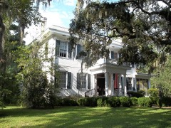
  • 164-79Savannah city - That part in Militia District 3 (Tract 3 - part), comprising Whitney Hotel in Block 41
  • 164-80Savannah city - That part in Militia District 3 (Tract 3 - part) Bounded by York Lane W.; Bull, Hull, Bull; Perry; Militia District line, Barnard. This Enumeration District consists of the following blocks: 69, 70, 77, 78, 79, 80, 90E, 91, 92, 93, 94, 95
  • 164-81Savannah city - That part in Militia District 3 (Tract 3 - part) Bounded by Perry; Bull; Liberty; Barnard. This Enumeration District consists of the following blocks: 96, 97, 104, 105
  • 164-82Savannah city - That part in Militia District 3 (Tract 8 - part) Bounded by Liberty; Bull, Harris, Bull, Charlton, Bull; Charlton Lane W., Whitaker, Charlton; Militia District line, Barnard. This Enumeration District consists of the following blocks: 1, 2, 9, 10, 11, 12, 13, 14, 15, 16E, 29
  • 164-83Savannah city - That part in Militia District 3 (Tract 8 - part) Bounded by Charlton, Whitaker, Charlton Lane W.; Bull; Taylor; Barnard. This Enumeration District consists of the following blocks: 27, 28, 30, 31, 32, 41, 42
  • 164-84Savannah city - That part in Militia District 3 (Tract 8 - part) Bounded by Taylor; Bull, Gordon, Bull; Gaston; Barnard, Militia District line. This Enumeration District consists of the following blocks: 43, 44, 45, 46, 47, 48E, 58, 59, 60, 61
  • 164-85Savannah city - That part in Militia District 3 (Tract 9 - part), excluding De Soto Hotel in Block 5 Bounded by Liberty; Abercorn, Militia District line, Abercorn; Jones Lane E., Drayton, Jones; Bull, Charlton, Bull, Harris, Bull. This Enumeration District consists of the following blocks: 4, 5-part, 6, 13W, 14, 15, 16, 17, 24, 25, 26, 27, 34
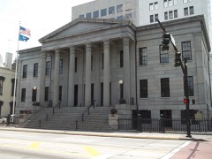
  • 164-86Savannah city - That part in Militia District 3 (Tract 9 - part), comprising De Soto Hotel in Block 5
  • 164-87Savannah city - That part in Militia District 3 (Tract 9 - part) Bounded by Jones, Drayton, Jones Lane E.; Abercorn, Militia District line, Abercorn; Gaston; Bull, Gordon, Bull, Taylor, Bull. This Enumeration District consists of the following blocks: 35, 36, 37, 45W, 46, 47, 48, 49, 56, 57, 58, 59
  • 164-88Savannah city - That part in Militia District 3 (Tract 15 - part) Bounded by Gaston; Abercorn; Hall; Drayton. This Enumeration District consists of the following blocks: 4, 14, 15
  • 164-89Savannah city - That part in Militia District 3 (Tract 15 - part) Bounded by Hall; Abercorn; Park Ave.; Drayton. This Enumeration District consists of the following blocks: 16, 17, 30, 31, 38, 39, 46
  • 164-90Savannah city - That part in Militia District 3 (Tract 14 - part) Bounded by Gaston; Drayton; Park Ave.; Whitaker. This Enumeration District consists of the following block: 1
  • 164-91Savannah city - That part in Militia District 3 (Tract 13 - part) Bounded by Gaston; Whitaker; Gwinnett; Barnard. This Enumeration District consists of the following blocks: 1, 2, 15, 16, 17, 18
  • 164-92Savannah city - That part in Militia District 3 (Tract 13 - part) Bounded by Gwinnett; Whitaker; Park Ave.; Barnard. This Enumeration District consists of the following blocks: 32, 33, 34, 35, 48, 49
  • 164-93Savannah city - That part in Militia District 3 (Tract 18-part) Bounded by Park Ave.; Bull; Anderson, Whitaker, 31st; Barnard. This Enumeration District consists of the following blocks: 1, 2, 9, 10, 11, 12, 19, 20, 21, 28, 29, 31
  • 164-94Savannah city - That part in Militia District 3 (Tract 18-part), excluding Benedictine Military School in Block 50 Bounded by 31st, Whitaker, Anderson; Bull; 34th; Barnard. This Enumeration District consists of the following blocks: 30, 37, 38, 39, 40, 41, 48, 49, 50-part, 51
  • 164-95Savannah city - That part in Militia District 3 (Tract 18-part), comprising Benedictine Military School in Block 50
  • 164-96Savannah city - That part in Militia District 3 (Tract 19-part) Bounded by Park Ave.; Abercorn; Henry; Bull. This Enumeration District consists of the following blocks: 4, 5, 6, 7, 17, 18, 19
  • 164-97Savannah city - That part in Militia District 3 (Tract 19-part) Bounded by Henry; Abercorn; 31st, Drayton, 31st Lane; Bull. This Enumeration District consists of the following blocks: 20, 21, 22, 33, 34, 35, 36, 37
  • 164-98Savannah city - That part in Militia District 3 (Tract 19-part) Bounded by 31st Lane, Drayton, 31st; Abercorn; 34th; Bull. This Enumeration District consists of the following blocks: 38, 39, 40, 49, 50, 51, 52
  • 164-99Savannah city - That part in Militia District 3 (Tract 25-part) Bounded by 34th; Abercorn; 39th, Drayton, 40th; Bull. This Enumeration District consists of the following blocks: 3, 4, 5, 6, 7, 12, 13, 14, 15, 22, 23, 24
  • 164-100Savannah city - That part in Militia District 3 (Tract 25-part) Bounded by 40th, Drayton, 39th; Abercorn; Victory Dr.; Bull. This Enumeration District consists of the following blocks: 25, 31, 32, 33, 34, 35, 36, 40, 41, 42, 43, 44, 49, 50, 51
  • 164-101Savannah city - That part in Militia District 3 (Tract 25-part) Bounded by 34th; Bull; 36th, Whitaker, 37th; Barnard. This Enumeration District consists of the following blocks: 1, 2, 3, 4, 12, 13, 14, 17, 18
  • 164-102Savannah city - That part in Militia District 3 (Tract 24-part) Bounded by 37th, Whitaker, 36th; Bull; 39th; Barnard. This Enumeration District consists of the following blocks: 15, 16, 25, 26, 27, 28, 29, 30, 31
  • 164-103Savannah city - That part in Militia District 3 (Tract 24-part) Bounded by 39th; Bull; Victory Dr.; Barnard. This Enumeration District consists of the following blocks: 39, 40, 41, 42, 43, 44, 45, 46, 53, 54, 55, 56, 57, 64, 65
  • 164-104Savannah city - That part in Militia District 3 (Tract 28-part) Bounded by Victory Dr.; Bull; 52nd W.; Militia District line, Barnard, Militia District line, Barnard. This Enumeration District consists of the following blocks: 17, 18, 19, 21, 22, 33E, 34, 35E, 38E, 53E, 54, 65, 66E
  • 164-105Savannah city - That part in Militia District 3 (Tract 28-part) Bounded by 52nd W.; Bull; 59th; Militia District line. This Enumeration District consists of the following blocks: 78E, 79E, 82E, 83, 84E, 87E, 88, 89, 90E, 93E, 94
  • 164-106Savannah city - That part in Militia District 3 (Tract 29-part) Bounded by Victory Dr.; Abercorn; 52nd; Bull. This Enumeration District consists of the following blocks: 7, 8, 22, 23, 24, 25, 38, 39, 40, 49, 50, 61, 62, 63
  • 164-107Savannah city - That part in Militia District 3 (Tract 29-part) Bounded by 52nd; Abercorn; 59th; Bull. This Enumeration District consists of the following blocks: 64, 73, 74, 75, 84W
  • 164-108Savannah city - That part in Militia District 3 (Tract 34-part) Bounded by 59th; Abercorn; 60th, White Bluff Rd., 61st; Militia District line. This Enumeration District consists of the following blocks: 11, 12, 13E, 22E, 23
  • 164-109Savannah city - That part in Militia District 4 (Tract 5 - part) Bounded by City limits; City limits; President Extension, President; East Broad, West Broad extended. This Enumeration District consists of the following blocks: 1, 2, 3, 4, 9, 10, 11, 25, 26, 27, 28
  • 164-110Savannah city - That part in Militia District 4 (Tract 5 - part) Bounded by Bay; E. Broad; Broughton, Houston, Congress Lane E.; Price. This Enumeration District consists of the following blocks: 5, 6, 7, 8, 9, 12, 13, 14, 15, 16, 17, 18, 19
  • 164-111Savannah city - That part in Militia District 4 (Tract 5 - part) Bounded by Congress Lane E., Houston, Broughton; E. Broad; York; Price. This Enumeration District consists of the following blocks: 20, 21, 22, 23, 24, 29, 30, 31, 32, 33
  • 164-112Savannah city - That part in Militia District 4 (Tract 5 - part) Bounded by York, E. Broad, President; Reynolds; Wheaton, Oglethorpe Lane E.; Price. This Enumeration District consists of the following blocks: 34, 35, 36, 37, 38, 39, 47, 48, 51, 52
  • 164-113Savannah city - That part in Militia District 4 (Tract 5 - part) Bounded by Oglethorpe Lane E.; Wheaton, McDonough, E. Boundary; Liberty; Price. This Enumeration District consists of the following blocks: 49, 50, 53, 54, 55, 56, 67, 68, 69, 70, 71, 72, 73, 74, 75, 76
  • 164-114Savannah city - That part in Militia District 4 (Tract 5 - part) Bounded by President; Randolph; Liberty; E. Boundary, McDonough, Reynolds. This Enumeration District consists of the following blocks: 40, 41, 45, 46, 57, 58, 65, 66, 77, 78, 79, 80, 81, 82
  • 164-115Savannah city - That part in Militia District 4 (Tract 5 - part) Bounded by Oglethorpe Ave.; McAlister; Perry Lane; Randolph. This Enumeration District consists of the following blocks: 43, 44, 59, 63, 64, 83
  • 164-116Savannah city - That part in Militia District 4 (Tract 5 - part) Bounded by President extension; City limits, Bilbo Canal; Wheaton; Randolph, Perry, McAlister, Oglethorpe Ave., Randolph. This Enumeration District consists of the following blocks: 42, 60, 61, 62, 84, 85, 86
  • 164-117Savannah city - That part in Militia District 4 (Tract 4 - part) Bounded by City limits; E. Broad extended, E. Broad, Bay, Price; State, Habersham, Broughton; Abercorn, Militia District line, Abercorn, Militia District line. This Enumeration District consists of the following blocks: 1, 2, 3, 4, 5, 6, 11, 12, 13, 14, 15, 16, 17, 18, 19, 20, 21E, 28, 29, 30, 31, 32, 33, 41, 42
  • 164-118Savannah city - That part in Militia District 4 (Tract 4 - part) Bounded by Broughton, Habersham, State; Price; York; Militia District line, Abercorn. This Enumeration District consists of the following blocks: 38, 39, 40, 43, 44, 45, 46, 47, 48, 49, 50E
  • 164-119Savannah city - That part in Militia District 4 (Tract 4 - part) Bounded by York; Price; McDonough, Habersham, Oglethorpe Ave.; Abercorn. This Enumeration District consists of the following blocks: 57, 58, 59, 60, 61, 62, 70, 71, 72
  • 164-120Savannah city - That part in Militia District 4 (Tract 4 - part) Bounded by Oglethorpe Ave.; Habersham, McDonough, Price; Liberty; Abercorn. This Enumeration District consists of the following blocks: 68, 69, 79, 80, 81, 82, 83
  • 164-121Savannah city - That part in Militia District 4 (Tract 9 - part), excluding Convent and Academy of St. Vincent de Paul in Block 3 Bounded by Liberty; Price; Charlton, Lincoln, Harris; Abercorn. This Enumeration District consists of the following blocks: 1, 2, 3-part, 7, 8, 9, 10, 11, 19, 20
  • 164-122Savannah city - That part in Militia District 4 (Tract 9 - part), comprising Convent and Academy of St. Vincent de Paul in Block 3
  • 164-123Savannah city - That part in Militia District 4 (Tract 9 - part) Bounded by Harris, Lincoln, Charlton; Price; Jones; Abercorn, Militia District line. This Enumeration District consists of the following blocks: 12, 13E, 18, 21, 22, 23, 28, 29, 30
  • 164-124Savannah city - That part in Militia District 4 (Tract 9 - part) excluding St. Josephs School of Nursing in Block 33 and St. Josephs Hospital in Block 39 Bounded by Jones; Price; Gordon, Lincoln, Taylor; Abercorn. This Enumeration District consists of the following blocks: 31, 32, 33-part, 38, 39-part, 40, 41, 42, 43, 51, 52
  • 164-125Savannah city - That part in Militia District 4 (Tract 9 - part), comprising St. Josephs School of Nursing in Block 33
  • 164-126Savannah city - That part in Militia District 4 (Tract 9 - part) comprising St. Josephs Hospital in Block 39
  • 164-127Savannah city - That part in Militia District 4 (Tract 9 - part) Bounded by Taylor, Lincoln, Gordon; Price; Gaston; Abercorn, Militia District line. This Enumeration District consists of the following blocks: 44, 45E, 50, 53, 54, 55, 60, 61, 62
  • 164-128Savannah city - That part in Militia District 4 (Tract 10 - part) Bounded by Liberty; Wheaton, Bilbo Canal; Gwinnett; W. Broad. This Enumeration District consists of the following blocks: 1, 24, 29, 30, 31
  • 164-129Savannah city - That part in Militia District 4 (Tract 10 - part) Bounded by Liberty; W. Broad; Charlton Lane; E. Price. This Enumeration District consists of the following blocks: 2, 3, 4, 5, 6
  • 164-130Savannah city - That part in Militia District 4 (Tract 10 - part) Bounded by Charlton Lane E.; W. Broad; Gaston; Price. This Enumeration District consists of the following blocks: 7, 8, 9, 10, 11, 12, 13
  • 164-131Savannah city - That part in Militia District 4 (Tract 10 - part) Bounded by Gaston; E. Broad; Nicoll, Mercer, Herndon; Price. This Enumeration District consists of the following blocks: 14, 15, 16, 17, 18, 20, 21
  • 164-132Savannah city - That part in Militia District 4 (Tract 10 - part) Bounded by Herndon, Mercer, Nicoll; E. Broad; Bolton; Price. This Enumeration District consists of the following blocks: 19, 22, 23, 26, 27
  • 164-133Savannah city - That part in Militia District 4 (Tract 10 - part) Bounded by Gwinnett; Bilbo Canal; Bolton; E. Broad. This Enumeration District consists of the following blocks: 25, 28, 32, 33, 34
  • 164-134Savannah city - That part in Militia District 4 (Tract 11 - part) Bounded by City limits; Jones Canal, Adair; Wheaton, Bouhan, Reirdon, Reid, Wheaton; Bilbo Canal. This Enumeration District consists of the following block: 1
  • 164-135Savannah city - That part in Militia District 4 (Tract 11 - part) Bounded by Wheaton; Ott, Rockefeller, Harmon; Joe Lane; Bilbo Canal. This Enumeration District consists of the following blocks: 2, 3, 4, 5, 6, 7, 8, 9, 10, 19, 20
  • 164-136Savannah city - That part in Militia District 4 (Tract 11 - part) Bounded by Rockefeller, Ott, Wheaton, Reid, Rierdon; Bouhan, Wheaton; Live Oak, Wright, Culver, Waters, Wolf; Harmon. This Enumeration District consists of the following blocks: 11, 12, 13, 14, 15, 16, 17, 18, 23, 24
  • 164-137Savannah city - That part in Militia District 4 (Tract 11 - part) Bounded by Joe Lane, Harmon, Wolf; Ott; Bolton; Bilbo Canal. This Enumeration District consists of the following blocks: 21, 22, 28, 29, 30, 31, 32, 33, 34, 35, 36
  • 164-138Savannah city - That part in Militia District 4 (Tract 11 - part) Bounded by Wolf, Waters, Culver, Wright, Live Oak, Wheaton; Ash; Bolton; Ott. This Enumeration District consists of the following blocks: 25, 26, 27, 37, 38, 39, 40, 41
  • 164-139Savannah city - That part in Militia District 4 (Tract 37-part) Bounded by City limits; Pennsylvania Ave., Causton Bluff Rd., Lawton Ave.; Gwinnett, Moore Ave.; Adair, Jones Canal. This Enumeration District consists of the following blocks: 1, 2, 3, 4, 5, 6, 8, 16, 17, 25, 26, 33, 36, 37, 38, 39, 40, 41, 42
  • 164-140Savannah city - That part in Militia District 4 (Tract 37-part) Bounded by Causton Bluff Rd.; Pennsylvania Ave., Jones, Screven Ave., Gaston, Anderson; Gwinnett; Lawton Ave. This Enumeration District consists of the following blocks: 7, 9, 10, 11, 12, 13, 14, 15, 18, 19, 20, 21, 23, 24, 27, 28, 31, 32, 33, 34, 43, 44
  • 164-141Savannah city - That part in Militia District 4 (Tract 37-part) Bounded by Jones; Pennsylvania Ave.; Gwinnett; Anderson, Gaston, Screven Ave. This Enumeration District consists of the following blocks: 22, 29, 30, 45, 46
  • 164-142Savannah city - That part in Militia District 4 (Tract 36-part) Bounded by Jones, Ohio Ave., Jones; City limits; Gwinnett; Pennsylvania Ave. This Enumeration District consists of the following blocks: 9, 10, 11, 12, 13, 14, 15, 16, 17, 18, 19
  • 164-143Savannah city - That part in Militia District 4 (Tract 35-part) Bounded by Gwinnett; City limits, Fulton, Georgia Ave.; Mississippi Ave.; Pennsylvania Ave. This Enumeration District consists of the following blocks: 20, 21, 22, 23, 24, 25, 26, 27, 28, 31, 32, 33, 34, 35, 36
  • 164-144Savannah city - That part in Militia District 4 (Tract 36-part) Bounded by Mississippi Ave.; Georgia Ave.; Bonaventure Rd., Wessells Ave., Indiana Ave.; Pennsylvania Ave. This Enumeration District consists of the following blocks: 37, 38, 39, 40, 41, 46, 47, 48, 49, 50, 51, 52, 53, 54, 55, 60, 61, 62, 63, 64, 65, 66, 67, 68, 73, 74, 75, 76, 77, 78, 84, 85, 90, 91, 97, 98
  • 164-145Savannah city - That part in Militia District 4 (Tract 36-part) Bounded by Indiana Ave., Wessells Ave., Bonaventure Rd.; Raskin Ave.; 42nd, Skidaway Rd., Victory Dr.; McAlpin, 36th, Pennsylvania Ave. This Enumeration District consists of the following blocks: 86, 87, 88, 89, 99, 100, 101, 102, 103, 104, 105, 106, 107, 108, 109, 110, 111, 112, 113, 114, 115, 116, 117, 118, 119, 120, 121, 122, 123, 126, 127, 128
  • 164-146Savannah city - That part in Militia District 4 (Tract 36-part), excluding St. Mary's Home for Girls in Block 96 Bounded by Bonaventure Rd.; City limits; Victory Dr.; Skidaway Rd., 42nd, Raskin Ave. This Enumeration District consists of the following blocks: 96-part, 108, 116, 117, 124, 125, 129, 130, 131
  • 164-147Savannah city - That part in Militia District 4 (Tract 22-part) Bounded by Gwinnett; Pennsylvania Ave.; Lee Dr., 32nd Ave., Moore Ave., Henry; McCormick, Park Ave., Moore Ave. This Enumeration District consists of the following blocks: 1, 2, 3, 4, 5, 6, 7, 8, 9, 10, 11, 12, 13, 14, 15, 16, 17, 18, 19, 20, 21, 22, 23, 24, 25, 26, 27, 28, 37, 38, 39
  • 164-148Savannah city - That part in Militia District 4 (Tract 22-part) Bounded by Moore Ave.; Moore Ave., Park Ave., McCormick; Henry; Ash. This Enumeration District consists of the following blocks: 5, 6
  • 164-149Savannah city - That part in Militia District 4 (Tract 22-part) Bounded by Henry; Moore Ave., 36th, McAlpin; Victory Dr., Elm, 38th; Ash. This Enumeration District consists of the following blocks: 29, 30, 31, 32, 33, 34, 35, 36, 44, 45, 46, 47, 48, 49, 50, 51, 52
  • 164-150Savannah city - That part in Militia District 4 (Tract 22-part) Bounded by 32nd Ave., Lee Dr.; Pennsylvania Ave.; Moore Ave. This Enumeration District consists of the following blocks: 40, 41, 42, 43
  • 164-151Savannah city - That part in Militia District 4 (Tract 22-part) Bounded by 38th; Elm; Victory Dr.; Ash. This Enumeration District consists of the following blocks: 53, 54, 55, 56, 57, 58, 60, 61, 62, 63, 64, 65, 66, 67, 68, 69
  • 164-152Savannah city - That part in Militia District 4 (Tract 21-part) Bounded by Bolton; Ash; Duffy; Waters Ave., Park Ave., Live Oak. This Enumeration District consists of the following blocks: 1, 10, 11, 12, 13, 24, 25, 26
  • 164-153Savannah city - That part in Militia District 4 (Tract 21-part) Bounded by Bolton; Live Oak, Park Ave., Waters Ave.; Duffy; Ott. This Enumeration District consists of the following blocks: 2, 5, 8, 9, 14, 15, 22, 23
  • 164-154Savannah city - That part in Militia District 4 (Tract 21-part) Bounded by Bolton; Ott; Duffy; Paulsen, Park Ave., Paulsen. This Enumeration District consists of the following blocks: 4, 5, 6, 7, 16, 17, 18, 19, 20
  • 164-155Savannah city - That part in Militia District 4 (Tract 21-part) Bounded by Duffy; Ott, Henry, Harmon; 34th; Paulsen. This Enumeration District consists of the following blocks: 31, 32, 33, 34, 47, 48, 49, 59, 60
  • 164-156Savannah city - That part in Militia District 4 (Tract 21-part) Bounded by Duffy; Waters Ave.; 34th; Harmon, Henry Ott. This Enumeration District consists of the following blocks: 30, 35, 36, 37, 38, 45, 46, 50, 57, 58, 61, 62, 63
  • 164-157Savannah city - That part in Militia District 4 (Tract 21-part) Bounded by Duffy; Ash; 31st, Live Oak, Anderson; Waters Ave. This Enumeration District consists of the following blocks: 27, 28, 29, 39, 40, 41, 42, 43
  • 164-158Savannah city - That part in Militia District 4 (Tract 21-part) Bounded by Anderson, Live Oak, 31st; Ash; 34th; Waters Ave. This Enumeration District consists of the following blocks: 44, 51, 52, 53, 54, 55, 56, 64, 65, 66
  • 164-159Savannah city - That part in Militia District 4 (Tract 20-part) Bounded by Bolton; Paulsen, Park Ave., Paulsen; Duffy, Atlantic Coast Line Railroad, Park Lane E.; E. Broad. This Enumeration District consists of the following blocks: 1, 2, 3, 8, 9, 10, 11, 12, 13, 14
  • 164-160Savannah city - That part in Militia District 4 (Tract 20-part) Bounded by Bolton; E. Broad; Park Lane E.; Price. This Enumeration District consists of the following blocks: 4, 5, 6, 7, 16
  • 164-161Savannah city - That part in Militia District 4 (Tract 20-part) Bounded by Park Lane E., Atlantic Coast Line Railroad, Duffy; Paulsen; Henry; Price. This Enumeration District consists of the following blocks: 15, 17, 18, 19, 20, 21, 22, 23
  • 164-162Savannah city - That part in Militia District 4 (Tract 20-part) Bounded by Henry; Atlantic; Anderson; Price. This Enumeration District consists of the following blocks: 26, 27, 28, 29, 30, 31
  • 164-163Savannah city - That part in Militia District 4 (Tract 20-part) Bounded by Anderson; Atlantic; 31st, Atlantic Coast Railroad, 32nd; Price. This Enumeration District consists of the following blocks: 32, 33, 34, 35, 36, 37, 38, 39, 40, 50, 51, 52
  • 164-164Savannah city - That part in Militia District 4 (Tract 20-part) Bounded by Henry; Paulsen; 34th; Randolph, 31st, Atlantic. This Enumeration District consists of the following blocks: 24, 25, 41, 42, 43, 44, 45, 46, 47, 56, 57, 58, 59, 60, 61, 62, 63
  • 164-165Savannah city - That part in Militia District 4 (Tract 20-part) Bounded by 32nd, Atlantic Coast Railroad, 31st; Randolph; 34th; Price. This Enumeration District consists of the following blocks: 48, 49, 53, 54, 55, 64, 65, 66, 67
  • 164-166Savannah city - That part in Militia District 4 (Tract 15 - part) Bounded by Gaston; Price; Huntingdon Lane E.; Abercorn. This Enumeration District consists of the following blocks: 1, 2, 3, 5, 6, 7, 8, 11, 12
  • 164-167Savannah city - That part in Militia District 4 (Tract 15 - part) Bounded by Huntingdon Lane E.; Price; Gwinnett Lane E.; Abercorn. This Enumeration District consists of the following blocks: 9, 10, 13, 18, 19, 20, 21, 22, 23, 24, 27, 28
  • 164-168Savannah city - That part in Militia District 4 (Tract 15 - part) Bounded by Gwinnett Lane E.; Price; Waldburg, Habersham, Bolton Lane E.; Abercorn. This Enumeration District consists of the following blocks: 25, 26, 29, 32, 33, 34, 35
  • 164-169Savannah city - That part in Militia District 4 (Tract 15 - part) Bounded by Bolton Lane E., Habersham, Waldburg; Price; Park Ave.; Abercorn. This Enumeration District consists of the following blocks: 36, 37, 40, 41, 42, 43, 44, 45
  • 164-170Savannah city - That part in Militia District 4 (Tract 19-part) Bounded by Park Ave.; Price; Duffy; Abercorn. This Enumeration District consists of the following blocks: 1, 2, 3, 8, 9, 10
  • 164-171Savannah city - That part in Militia District 4 (Tract 19-part) Bounded by Duffy; Price; Anderson; Abercorn. This Enumeration District consists of the following blocks: 11, 12, 13, 14, 15, 16, 23, 24, 25, 26, 27, 28
  • 164-172Savannah city - That part in Militia District 4 (Tract 19-part) Bounded by Anderson; Price; 32nd, Habersham, 31st Lane; Abercorn. This Enumeration District consists of the following blocks: 29, 30, 31, 41, 44, 45
  • 164-173Savannah city - That part in Militia District 4 (Tract 19-part), excluding St. Mary's Home for Orphan Children in Block 46 Bounded by 31st Lane, Habersham, 32nd; Price; 34th; Abercorn. This Enumeration District consists of the following blocks: 42, 43, 46-part, 47, 48, 53, 54, 55
  • 164-174Savannah city - That part in Militia District 4 (Tract 19-part), comprising St. Mary's Home for Orphan Children in Block 46
  • 164-175Savannah city - That part in Militia District 4 (Tract 25-part), excluding Home for the Aged in Block 11 Bounded by 34th; Habersham; 39th; Abercorn. This Enumeration District consists of the following blocks: 1, 2, 8, 9, 10, 11-part, 17, 18, 19, 20, 21
  • 164-176Savannah city - That part in Militia District 4 (Tract 25-part), comprising Home for the Aged in Block 11
  • 164-177Savannah city - That part in Militia District 4 (Tract 25-part) Bounded by 39th; Habersham; Victory Dr.; Abercorn. This Enumeration District consists of the following blocks: 26, 27, 28, 29, 30, 37, 38, 39, 45, 46, 47, 48
  • 164-178Savannah city - That part in Militia District 4 (Tract 26-part) Bounded by 34th; Atlantic; 38th; E. Broad. This Enumeration District consists of the following blocks: 1, 2, 3, 15, 16, 17, 18, 25, 26, 27, 28
  • 164-179Savannah city - That part in Militia District 4 (Tract 26-part) Bounded by 34th; E. Broad; 38th; Habersham. This Enumeration District consists of the following blocks: 4, 5, 6, 7, 8, 9, 10, 11, 12, 13, 14, 19, 20, 21, 22, 23, 24, 29, 30
  • 164-180Savannah city - That part in Militia District 4 (Tract 26-part) Bounded by 38th; E. Broad; Victory Dr.; Habersham. This Enumeration District consists of the following blocks: 31, 32, 37, 38, 39, 40, 46, 47, 48, 49, 50
  • 164-181Savannah city - That part in Militia District 4 (Tract 26-part) Bounded by 38th; Atlantic; Victory Dr.; E. Broad. This Enumeration District consists of the following blocks: 21, 33, 34, 35, 36, 41, 42, 43, 44, 45, 51, 52, 53
  • 164-182Savannah city - That part in Militia District 4 (Tract 26-part) Bounded by 34th; Ash; Seiler Ave., Live Oak, 37th; Waters Ave. This Enumeration District consists of the following blocks: 1, 2, 3, 12, 13, 14, 15, 21, 22, 23, 24, 25, 32, 33
  • 164-183Savannah city - That part in Militia District 4 (Tract 26-part) Bounded by 34th; Waters Ave.; 38th; Paulsen. This Enumeration District consists of the following blocks: 4, 5, 6, 9, 10, 11, 6, 17, 18, 19, 28, 29, 30, 37, 38, 39
  • 164-184Savannah city - That part in Militia District 4 (Tract 27-part) Bounded by 34th; Paulsen; Victory Dr.; Atlantic. This Enumeration District consists of the following blocks: 7, 8, 20, 26, 27, 40, 41, 54, 55, 68, 69
  • 164-185Savannah city - That part in Militia District 4 (Tract 27-part) Bounded by 38th; Waters Ave; Victory Ave.; Paulsen. This Enumeration District consists of the following blocks: 42, 43, 44, 51, 52, 53, 56, 57, 58, 65, 66, 67, 70, 71, 72
  • 164-186Savannah city - That part in Militia District 4 (Tract 27-part) Bounded by 37th, Live Oak, Seiler Ave.; Ash; 39th, Cedar, 40th; Waters Ave. This Enumeration District consists of the following blocks: 31, 34, 35, 36, 45, 46, 47, 49, 50
  • 164-187Savannah city - That part in Militia District 4 (Tract 27-part) Bounded by 40th, Cedar, 39th; Ash; Victory Dr.; Waters Ave. This Enumeration District consists of the following blocks: 48, 59, 60, 61, 62, 63, 64, 73, 74, 75
  • 164-188N/A
  • 164-189Savannah city - That part in Militia District 4 (Tract 35-part) Bounded by Victory Dr.; Washington Ave., 51st Lane, Casey Canal; Darnell Ave.; 2nd, Huxley, Waters Ave., 55th, Cedar, 51st Lane, Bee Rd. This Enumeration District consists of the following blocks: 9S, 10, 20, 21, 22, 27, 28, 29, 34, 35, 41, 42, 43, 44, 45, 56, 57, 58, 59, 72, 73, 74, 84, 85, 86, 101, 102, 103, 112, 113
  • 164-190Savannah city - That part in Militia District 4 (Tract 35-part) Bounded by 51st Lane; Cedar; 55th; Waters Ave. This Enumeration District consists of the following blocks: 23, 24, 25, 26, 30, 31, 32, 33
  • 164-191Savannah city - That part in Militia District 4 (Tract 35-part) Bounded by 55th; Waters Ave., Huxley, 2nd; Darnell Ave., Waters Rd., 60th; Savannah Electric and Power Company Line, Atlantic. This Enumeration District consists of the following blocks: 46, 47, 48, 49, 50, 51, 52, 53, 54, 55, 75, 76, 77, 78, 79, 80, 81, 82, 83, 104, 105, 106, 107, 110, 111
  • 164-192Savannah city - That part in Militia District 4 (Tract 30-part) Bounded by Victory Dr.; Waters Ave., Washington Ave., Live Oak; 48th; Atlantic Ave, 46th, Atlantic. This Enumeration District consists of the following blocks: 1, 2, 3, 4, 5, 6, 7, 8, 9, 10, 11, 12, 13, 14, 15, 16, 17, 18, 19, 20, 24
  • 164-193Savannah city - That part in Militia District 4 (Tract 30-part) Bounded by Washington Ave.; Bee Rd.; 51st Lane; Waters Ave., 49th, Live Oak. This Enumeration District consists of the following blocks: 25, 26, 27, 28, 29, 30, 31, 36, 37, 38, 39, 40, 41, 42, 43, 44, 56, 57, 58, 59, 60
  • 164-194Savannah city - That part in Militia District 4 (Tract 30-part) Bounded by 48th; Live Oak, 49th, Waters Ave.; 51st, Paulsen, 50th; Atlantic, 49th, Atlantic Avenue. This Enumeration District consists of the following blocks: 21, 22, 23, 32, 33, 34, 35, 45, 46, 47
  • 164-195Savannah city - That part in Militia District 4 (Tract 30-part) Bounded by 50th, Paulsen, 51st; Waters Ave.; 55th; Atlantic. This Enumeration District consists of the following blocks: 48, 49, 50, 51, 52, 53, 54, 55
  • 164-196Savannah city - That part in Militia District 4 (Tract 29-part) Bounded by Victory Dr.; Atlantic, 46th, Atlantic Ave., 49th, Atlantic; 51st, Reynolds, 50th; Battey. This Enumeration District consists of the following blocks: 1, 2, 3, 12, 13, 14, 15, 16, 17, 19, 29, 30, 31, 32, 33, 34, 35, 43, 44, 45, 46, 56
  • 164-197Savannah city - That part in Militia District 4 (Tract 29-part) Bounded by Victory Dr.; Battey; 49th, Habersham, 50th; Abercorn. This Enumeration District consists of the following blocks: 4, 5, 6, 7, 8, 9, 10, 11, 18, 19, 20, 21, 26, 27, 28, 36, 37, 41, 42, 48
  • 164-198Savannah city - That part in Militia District 4 (Tract 29-part) Bounded by 50th, Habersham, 49th; Battey; 55th; Abercorn. This Enumeration District consists of the following blocks: 47, 51, 52, 53, 54, 59, 60, 65, 66, 71, 72, 76, 77
  • 164-199Savannah city - That part in Militia District 4 (Tract 29-part) Bounded by 55th; Battey; 59th; Abercorn. This Enumeration District consists of the following blocks: 83, 84E, 85, 90, 91
  • 164-200Savannah city - That part in Militia District 4 (Tract 29-part) Bounded by 50th, Reynolds, 51st; Atlantic; 59th; Battey. This Enumeration District consists of the following blocks: 55, 57, 58, 67, 68, 69, 70, 78, 79, 80, 81, 86, 87, 88, 89, 92, 93
  • 164-201Savannah city - That part in Militia District 4 (Tract 34-part) Bounded by 59th, Atlantic; Savannah Electric and Power Company Line; 60th; Abercorn. This Enumeration District consists of the following blocks: 1, 2, 3, 4, 5, 6, 7, 8, 9, 10
  • 164-202Savannah city - That part in Militia District 4 (Tract 36-part), comprising St. Mary's Home for Girls in Block 96
  • 164-203Savannah city - That part in Militia District 1 (Tract 6 - part) Bounded by City limits, Augusta Ave.; Alexander; 2nd, City limits; City limits. This Enumeration District consists of the following blocks: 43, 44, 45, 46, 47, 48, 49, 50, 51, 52, 53, 54
  • 164-204Savannah city - That part in Militia District 2 (Tract 34-part) Bounded by 63rd, Montgomery extension, Montgomery, 61st; Militia District line; City limits; City limits. This Enumeration District consists of the following blocks: 33W, 38, 39, 53, 54, 65, 66, 77, 78, 79
  • 164-205Savannah city - That part in Militia District 3 (Tract 34-part) Bounded by 61st, White Bluff Rd., 60th; Militia District line; City limits; Militia District line. This Enumeration District consists of the following blocks: 24, 32, 33E, 40, 52W
  • 164-206DSavannah city - That part in Militia District 4 (Tract 36-part) Bounded by Causton Bluff Rd.; City limits; Greenwood Ave.; Liberty Ave. This Enumeration District consists of the following blocks: 132, 133
  • 164-206FSavannah city - That part in Militia District 4 (Tract 36-part) Bounded by City limits; Liberty Ave.; Causton Bluff Rd.; Pennsylvania Ave. This Enumeration District consists of the following blocks: 1, 134
  • 164-206ESavannah city - That part in Militia District 4 (Tract 36-part) Bounded by City limits; City limits; Causton Bluff Rd.; Liberty Ave. This Enumeration District consists of the following block: 2
  • 164-206CSavannah city - That part in Militia District 4 (Tract 36-part) Bounded by Greenwood Ave.; City limits; City limits; Liberty Ave. This Enumeration District consists of the following blocks: 138, 139
  • 164-206BSavannah city - That part in Militia District 4 (Tract 36-part) Bounded by Causton Bluff Rd.; Liberty Ave; Liberty Ave.; Georgia Ave. This Enumeration District consists of the following blocks: 135, 136, 137
  • 164-206ASavannah city - That part in Militia District 4 (Tract 36-part) Bounded by Liberty Ave.; Laurel Ave.; Jones, Ohio Ave., Jones; Pennsylvania Ave. This Enumeration District consists of the following blocks: 140, 141, 142, 143, 144, 145, 146, 147, 148, 149, 150, 151, 152, 153
  • 164-207Savannah city - That part in Militia District 4 (Tract 36-part) Bounded by Causton Bluff Rd.; Alabama Ave.; Liberty Ave.; Pennsylvania Ave. This Enumeration District consists of the following blocks: 4, 5, 8
  • 164-208Savannah city - That part in Militia District 4 (Tract 35-part) Bounded by Causton Bluff Rd.; Georgia Ave.; Liberty Ave.; Alabama Ave. This Enumeration District consists of the following blocks: 3, 6, 7
  • 164-209Savannah city - That part in Militia District 4 (Tract 36-part) Bounded by Bolton, City limits; City limits; Tennessee Ave.; Georgia Ave. This Enumeration District consists of the following blocks: 29, 30, 42, 43, 44, 45, 56, 57, 58, 59, 69, 70, 71, 72
  • 164-210Savannah city - That part in Militia District 4 (Tract 36-part) Bounded by Tennessee Ave.; City limits; Bonaventure Rd.; Georgia Ave. This Enumeration District consists of the following blocks: 79, 80, 81, 82, 83, 92, 93, 94, 95
  • 164-211Savannah city - That part in Militia District 4 (Tract 35-part) Bounded by Victory Dr.; City limits; Laroche Ave., 59th; Casey Canal, 51st Lane, Washington Ave. This Enumeration District consists of the following blocks: 1, 2, 3, 4, 5, 6, 7, 8, 9N, 11, 12, 13, 14, 15, 16, 17, 18, 19, 36, 37, 38, 39, 40, 60, 61, 62, 63, 64, 65, 66, 67, 68, 69, 70, 71
  • 164-212Savannah city - That part in Militia District 4 (Tract 35-part) Bounded by 59th, Laroche Ave.; City limits; City limits; Savannah Electric and Power Company Line, Casey Canal. This Enumeration District consists of the following blocks: 87, 88, 89, 90, 91, 92, 93, 94, 95, 96, 97, 98, 99, 100, 114, 115, 116, 117, 118, 119, 120, 121, 125, 126, 127, 128
  • 164-213Savannah city - That part in Militia District 4 (Tract 35-part) Bounded by 60th, Waters Rd., Darnall Ave.; Casey Canal; Savannah Electric and Power Company Line. This Enumeration District consists of the following blocks: 108, 109, 122, 123, 124
  • 164-214Savannah city - That part in Militia District 4 (Tract 34-part) Bounded by 60th; Atlantic; 65th; Abercorn. This Enumeration District consists of the following blocks: 25, 26, 27, 29, 30, 31, 41, 42, 43, 44, 45, 46, 48, 49, 50, 51, 56, 57, 58
  • 164-215Savannah city - That part in Militia District 4 (Tract 34-part) Bounded by 65th, Atlantic, 60th; Savannah Electric and Power Company Line; City limits; Militia District line. This Enumeration District consists of the following blocks: 28, 36, 47, 52E, 59, 60, 61, 62, 63, 64, 67, 68, 69, 70, 71, 72, 73, 74, 75, 76, 80, 81, 82, 83, 84, 85, 87, 88, 89, 90, 91, 92, 93, 94, 95, 96, 97, 98, 99, 100, 101, 102, 103, 104

Wildfire, 1992 to 2020

872 fires

Every wildfire the federal occurrence database records inside this county: 872 of them, burning about 5,437 acres. 53 started naturally and 190 were recorded as arson. Each settlement page carries the fires within five miles of it.

Reported cause Fires
Debris and open burning275
Arson/incendiarism190
Misuse of fire by a minor98
Railroad operations and maintenance88
Natural53
Recreation and ceremony50
Missing data/not specified/undetermined47
Equipment and vehicle use41
Smoking30

The five largest, by the area the report gives. None of them was recorded as arson.

DateCause SizeReported by Name on the report
20 July 2007Natural1,076 acresWassaw National Wildlife RefugeWASSAW NORTH #1
12 April 2007Missing data/not specified/undetermined320 acresGeorgia Forestry CommissionSAVANNAH QUARTERS FIRE
5 August 2006Natural105 acresWassaw National Wildlife RefugeFLORA HAMMOCK FIRE
8 February 1996Debris and open burning82 acresGeorgia Forestry Commissionnot named
26 February 1996Debris and open burning81 acresGeorgia Forestry Commissionnot named
21 April 2000Recreation and ceremony68 acresGeorgia Forestry CommissionFY2000-CHATHAM-036
26 May 1996Railroad operations and maintenance66 acresGeorgia Forestry Commissionnot named
12 February 1997Recreation and ceremony57 acresGeorgia Forestry Commissionnot named

Every settlement page carries the fires within five miles of it - see the settlement index below.

Storms, 1955 to 2025

60 of 986 shown

The NOAA Storm Events Database holds 986 reports for this county, causing 5 deaths, 56 injuries and about $24,641,080 in recorded property damage. Each settlement page carries the reports that name it.

Kind of event Reports
Thunderstorm Wind610
Hail183
Flash Flood93
Lightning48
Tornado32
Funnel Cloud8
Waterspout3
Heavy Rain3
Rip Current2
Flood2
Winter Storm2

The most serious of them, by death, then injury, then recorded damage. The accounts are quoted exactly as the forecast office filed them.

WhenEvent Place namedHarm What the report says
June 2021LightningSavannah Beach1 killed, 1 hurtThe city of Tybee Island reported a fatality of a female teenager who was struck by lightning while swimming in the water near 17th Street.
May 2005Thunderstorm WindSavannah1 killed, 1 hurt1 fatality, 1 injury. High winds knocked tree down on car near the intersection of Eisenhower Drive and Waters Avenue.
June 2001LightningSavannah1 killed, 1 hurtConstruction foreman was killed while trying to clear his crew from a construction site. After the bolt struck the foreman, it traveled through the ground and struck another worker, coming up through the ground into the leg of a 43 year old male worker.
August 2023Thunderstorm WindSavannah State Colle1 killedThe Chatham County Police Department and Chatham County Emergency Management Agency reported one fatality due to a tree falling on a vehicle in the 5600 Block of Laroche Avenue.
June 2005Rip CurrentWilmington Is1 killedno account filed
April 1979Tornado (F1)not stated10 hurt, $2,500,000no account filed
September 1975Tornado (F1)not stated8 hurt, $25,000no account filed
May 2017Tornado (EF1)Central Jct5 hurtA National Weather Service storm survey team confirmed that an EF1 tornado occurred in Chatham County near Garden City. The tornado began near the intersection of Seaboard Coastline Drive and Telfair Road. At this location, damage was mainly limited to some snapped trees and minor wind damage to the bottom skirts of some mobile office trailers. The tornado continued northward with the next damage area along Alfred Street, just east of Market Street. At this location there were some snapped trees and minor damage to the wall of one home, which was partially blown down, causing the garage door to blow out. From this point, the tornado moved northward producing sporadic, non-continuous damage. About one third of a metal roof of an industrial building just north of Market Street was damaged. Next, the tornado moved toward the more industrial and commercial area just south of Highway 80, where it did significant damage to an Advanced Auto Parts store. Three walls collapsed and the roof was heavily damaged and shifted halfway off the remaining rear wall. At this point, the tornado had its strongest winds, estimated to be around 110 mph. The rating was capped at a high end EF1 due to the lack of damage or much less significant damage to structures immediately around the store. There were also five people injured inside the Advanced Auto Parts store, and at least 5 cars were heavily damaged from the front wall of the store falling on them. The tornado continued to do very sporadic and more minor damage as it moved north of Highway 21, finally terminating at the Port of Savannah-Garden City. At the port, it pushed over some shipping containers and did minor damage to some container tanks in the area. The tornado then moved into the Savannah River and dissipated.
July 2010LightningPooler4 hurtBroadcast media reported that four residents of an apartment complex felt lightning go right through their building as it struck on Monday afternoon, July 12th, 2010. The Pooler, Georgia Fire Department said the residents were inside a building at the Carlisle, formerly the Alta Town Lakes apartments, when the lightning hit their units at 385 Godley Station Boulevard. They said no one was seriously injured. There was no damage to the apartments. One or the individuals said he was just standing by the refrigerator, opened it up and the next thing he knew, he felt something go straight through his hand. It felt like it went down my spine and hit me in the head like somebody punched me in the face and then I felt it go out my foot, but it happened in just like a second, he said. Next thing i know, I was on the ground, and it felt like the room was spinning, like fast, said resident John McDonald. He said he had a massive headache, but was not seriously hurt.
June 2005Rip CurrentWilmington Is4 hurtLow pressure off the Southeast coast caused numerous rip currents at Tybee Island. At least 4 people were rescued from the water.
July 2014LightningSavannah Beach3 hurtA lightning strike on Tybee Island resulted in minor injuries to three males, two of which were taken to the hospital for treatment of burns. Tybee Island Ocean Rescue reported the injuries and the report was relayed to the National Weather Service by the broadcast media.
July 1996Flash FloodSavannah2 hurt, $1,000,000no account filed
May 1980Tornado (F2)not stated2 hurt, $250,000no account filed
July 2012Thunderstorm WindSavannah Beach2 hurt, $10,000Law Enforcement reported one tree down on top of a vehicle along Laurel Avenue. Two people were injured and transported via ambulance. The extent of injuries are unknown.
August 1999LightningSavannah2 hurtLightning caused two fires. One near Whitfield Park and one near Skidaway Island. Two firefighters were injured bringing the fires under control.
March 1991Thunderstorm Windnot stated2 hurtno account filed
August 1978Tornado (F1)not stated1 hurt, $25,000no account filed
September 2020LightningFt Screven1 hurtChatham County Emergency Management reported that a male was struck by lightning on Tropical Way. The extent of injury was unknown.
May 2019Tornado (EF1)Parkersburg1 hurtA National Weather Service storm survey team confirmed an EF-1 tornado in Chatham County. The tornado began over the Wilmington River, just west of the Savannah Yacht Club on Whitemarsh Island. It developed rapidly as it hit the Savannah Yacht Club. At the time the tornado struck, a boat was being lifted by a crane at the dock. This boat was thrown from the crane back into the water. The boat crane was also pushed by the winds of the tornado off its track, which caused it to crash into a small building near the crane. This small building sustained significant roof damage. One person was reportedly injured inside the building, but the extent of their injuries was unknown. The tornado continued moving east-southeast , snapping and uprooting several trees in a residential area near the end of Bradley Creek Drive. One home in that area also had minor roof damage due to missing shingles. From this point, the tornado strengthened as it moved southeast over Bradley Creek and across portions of Turners Rock Road. This was the region where the most significant damage was found, with at least two dozen large hard and softwood trees either snapped or uprooted. Wind speeds in this area were estimated to be between 100 and 105 mph. The tornado then weakened as it moved on a more easterly path across Turner Creek and onto the western edge of Wilmington Island, just south of Johnny Mercer Boulevard. The tornado broke some tree limbs and branches around Walgreens, then damaged a sign near the Autoplex as it crossed Johnny Mercer Boulevard. Once across Johnny Mercer Boulevard, the weakening tornado skipped over Molly McGuire's restaurant, finally ending in the empty lot just east of the Goodwill store. The roof on the Goodwill store sustained minor damage.
April 2015Thunderstorm WindCentral Jct1 hurtLaw enforcement reported a tree fell down on a house along West Street and caused one injury to a female.
July 2013LightningMeinhard1 hurtOne person was struck by lightning and transported to hospital.
July 2007LightningSavannah Beach1 hurtOne male was struck and injured by Lightning.
July 2007LightningCentral Jct1 hurtA child was reportedly struck and injured by lightning.
September 1999Thunderstorm WindSavannah1 hurtNumerous trees and power lines down. One mobile home destoyed 5 miles west of Savannah near U.S. 17 and Highway 307.
April 1988Thunderstorm Windnot stated1 hurtno account filed
June 1999Flash FloodEast Portion$7,000,000no account filed
June 2008Tornado (EF1)Sandfly$3,100,000The National Weather Service Office in Charleston, South Carolina completed a damage survey in Chatham county Georgia and determined that an EF-1 Tornado occurred. The Tornado developed around 3:37 pm just north of the intersection of Montgomery Cross Road and the Harry Truman Parkway and traveled south-southwest just west of the Harry Truman Parkway for aproximately 3/4 of a mile before lifting. The maximum width of the Tornado was about 100 yards, and maximum sustained winds were estimated at 90 to 100 mph. This Tornado damaged a fire station and uprooted and snapped off numerous trees. ||The vast majority of the damage was caused by at least 5 strong downbursts. In general, fairly widespread damage occurred from the Bacon Park Golf Course starting around 3:32 pm and ended near the intersection of Ferguson Avenue and Route 204 around 3:45 pm. South and southeast of this intersection and north of the Bacon Park Golf Course damage was much more sporadic. In this concentrated damage area, damage was up to 2.5 miles wide. Downburst winds knocked the steeple off a church and knocked down or snapped off thousands of trees. Tree limbs and large branches damaged 40 to 50 homes, with about a dozen of the homes sustaining major damage. Trees or large limbs fell on and destroyed about a dozen vehicles. The winds knocked down power poles and power lines, resulting in thousands of people without power. In addition, shingle and siding damage was also observed on the some of the homes. ||One of the areas of most significant damage occurred in the Lake View Subdivision just west of Ferguson Avenue. In this area downburst winds snapped off or uprooted numerous trees. Trees or large branches fell on at least a dozen homes, several homes sustained shingle or minor roof damage. One of the homes was deemed uninhabitable after a tree fell through it. Wind speeds in this area were estimated to be 80 to 90 mph.||Another area of significant damage occurred at a Gun Club between Ferguson Avenue and Harry Truman Parkway. In this area, strong winds destroyed a building and tossed an outbuilding about 30 yards. In addition, numerous large trees were snapped off or uprooted, with one tree landing on and damaging another building. Wind speeds in this area were estimated to be 90 to 100 mph.
August 2019LightningFairway Oaks$2,000,000The media and emergency management indicated a fire was initiated by lightning at an apartment complex located along the 5000 Block of Garrard Avenue. The roof and 3rd floor of the 1300 apartment building was primarily involved in the fire, but the entire building was considered a complete loss. Three firefighters had indirect injuries associated with the fire, one from a roof collapse, one from second degree burns and another from third degree burns. All are expected to make a full recovery. Thirty residents were also left without a home.
June 2004LightningWilmington Is$2,000,000Lightning struck a 7400 square foot home which sparked a fire causing millions of dollars in damage. The storm also knocked out power to 18,000 residents.
September 1998Thunderstorm WindCountywide$1,250,000Numerous trees and powerlines down. The Mar Lin Marina suffered extensive damage and encountered 6 to 8 foot swells with the onshore component of the winds. Boats were capsized, and the docks were destroyed. At least 30 boats were damaged to varying degrees- six were completely destroyed, four capsized and five ended up in the marshes.
June 2006Tornado (F1)Thunderbolt$500,000NWS damage survey confirms tornado touchdown 1.5 miles south of Riverside at 115 PM. The tornado lifted and touched down a couple of times before finally lifting about 1 mile south of Riverside at 117 PM. The tornado occurred in the Bradley Point subdivision. The tornado snapped off huge oak trees and large branches. 15 to 20 homes and several vehicles were damaged by the falling trees and limbs. The path length was about 1/2 mile with a maximum width of 175 yards. The tornado was rated F1 with winds estimated in the 100 to 110 mph range.
June 1994Thunderstorm WindSavannah$500,000Numerous vehicles were damaged from wind blown debris and a few apartment chimneys were toppled by thunderstorm winds. Wind gusts of 64 knots were reported by WJCL TV in Savannah. Several trees, power lines and traffic signals were downed throughout Savannah. However, the heaviest concentration of storm damage was on Savannah's south side near the intersection of Georgia Highway 144 and 17. Over 50,000 Savannah residents and businesses were without power for at least nine hours.
June 1994Thunderstorm WindSavannah$500,000Thunderstorm winds sank or flipped over ten to telve boats in around Lazeretto Creek Marina on Tybee Island.,
April 1993HailSavannah$500,000Baseball-size hail broke several auto windshields and shattered numerous windows on the campus of Armstrong State University in Savannah. Hail covered the ground two to three inches deep at the University. Golfball-size hail broke several home windows and auto windshields in the Savannah Mall area. Baseball-size hail drifted up to 3 feet deep along fences and buildings 8 miles south of downtown Savannah.
October 1993Thunderstorm WindSavannah$500,000A large resort ship was blown from its mooring in the Savannah River by thunderstorm winds and damaged as it collided with the New Savannah Bridge. Several large tree limbs and power lines were toppled by thunderstorm winds which caused numerous power outages throughout Savannah.
May 1995Thunderstorm Windnot stated$250,000The Savannah tower reported sustained winds of 70 knots, with a peak gust of 82 knots. The National Weather Service reported a wind gust of 58 knots. Airport police reported roof damage to two Signature Air Hangers and a small plane flipped over. Considerable tree damage was reported throughout Savannah and 28,000 people lost electricity. WJCL-TV reported a weak gust of 53 knots.
April 1980Tornado (F1)not stated$250,000no account filed
November 1973Tornado (F2)not stated$250,000no account filed
July 2017LightningWilliams$200,000A lightning strike started a house fire on Sussex Retreat in the Savannah Quarters neighborhood. The fire caused significant damage to much of the roof and and second level of the home.
July 2023LightningSavannah$100,000Local broadcast media shared a story of a lightning strike at Central Missionary Baptist Church in Savannah. The lightning strike produced a fire in the building and caused a large portion of the roof to collapse.
August 2009Flash FloodGarden City$100,000The Chatham County Emergency Management Agency reported flooding of the following roadways or intersections in Savannah, Georgia, East Broad and Gwinnett, the 500 Block of River, 37th Street and Burroughs, Gwinnett and West Boundary, Legrand and 33rd Street, Drayton and 35th-36th Streets, Abercorn and Duffy, East Broad and Anderson, the 700 Block of East Henry, Bay and East Broad, Randolph and General McIntosh, President and General McIntosh, Martin Luther King Jr. and Hall, the 800 Block of Anderson, and East Broad and Henry.
April 2006Thunderstorm WindSavannah$100,000Thunderstorm winds toppled a large oak tree into a house on Whitemarsh Island. The house was split into two parts.
July 2001Thunderstorm WindSavannah$100,000Several trees and large limbs fell on an Acura, a Jeep Cherokee, and a Toyota Camry.
June 2019LightningSavannah Beach$75,000Broadcast media shared pictures and video of a home on fire that had been struck by lightning along Marsh Creek Cove. Fire damage occurred to the attic and a portion of the second floor.
August 1996Flash FloodSavannah$75,000no account filed
February 2012Thunderstorm WindVernonburg$50,000A National Weather Service storm survey team confirmed a severe microburst close to the Hunter Army Airfield located near Savannah. The microburst began very near the intersection of Abercorn Street and Apache Avenue and moved rapidly east-northeast before dissipating near the intersection of East Montgomery Cross Road and Meadowbrook Road. This microburst was estimated to have produced winds between 85 and 90 mph and downed or snapped off 25 to 30 large trees along with hundreds of large limbs and branches. At least seven large trees were blown down on homes which caused significant roof damage. There was no evidence of a tornado based on all available information. The microburst impacted portions of several Savannah Districts including Wilshire Estates, Colonial Village, Oakhurst, Paradise Park, and Lynhurst. Overall the path length of the microburst was about four miles and the maximum width of the path was about one mile.
August 2009Flash FloodSandfly$50,000The Chatham County Emergency Manager reported significant and widespread flooding of streets occurring, with some rescues of people from vehicles necessary in Savannah, Georgia. Just east of the Savannah near the intersection of Truman Parkway and Anderson Street, vehicles were floating in flood waters.
May 1993Thunderstorm WindSavannah$50,000Several large trees were blown down onto power lines which left 1600 residents without power for up to eight hours.
August 2021LightningMeinhard$40,000A Chatham County emergency manager reported a lightning strike setting fire to two homes under construction along Shoefstall Street.
June 1995Thunderstorm WindSavannah$35,000Trees and power lines down. Power outtage to over 10,000 people.
July 2013Flash FloodSavannah$30,000Roads were closed due to flooding at East Henry and Waters Ave, 65thand Waters, 52nd and Montgomery, Vine and Anderson, Martin Luther King Blvd and Victory Streets.
July 2013Flash FloodOleary$30,000Media reported that several streets in Port Wentworth have flood waters up to car headlights and Traveler's Way was under water.
August 1996LightningSavannah$30,000no account filed
September 2017Flash FloodBurnside$25,000Chatham County Emergency Management reported 11 people and 2 dogs were rescued from a home on Beaulie Farm Bend.
July 2009LightningWilliams$25,000Two structure fires were started by lightning strikes close to U.S. Route 17 near Pooler, Georgia. One of the fires destroyed a mobile home while the other damaged a single family home.
July 2008Thunderstorm WindSavannah$25,000Numerous trees, power lines, stop lights, and signs were reported down across the entire city of Savannah, Georgia.
May 1970Tornado (F2)not stated$25,000no account filed
July 1962Tornado (F1)not stated$25,000no account filed
September 1961Tornado (F2)not stated$25,000no account filed
April 1961Tornado (F1)not stated$25,000no account filed

Mines and quarries

10 recorded

The Survey's mineral resources record lists 10 workings inside this county. 4 still produce and 6 are closed or unrecorded. Each settlement page carries the workings within five miles of it.

Commodity Workings
Sand and Gravel, Construction5
Gypsum-Anhydrite2
Titanium1
Phosphorus-Phosphates1
Uranium, Fluorine-Fluorite1
Manganese1

The least common of them first, because a county's hundredth gravel pit says nothing its first ten did not.

Where SiteCommodity StatusRecorded
Blake Plateau Nodule DepositManganeseUnknown
Savannah Beach PlacerTitaniumOccurrenceBeach Placer
Savannah DepositPhosphorus-Phosphates, Uranium, Fluorine-FluoriteProspect1966
Flintkote/ Savannah, Ga.Gypsum-AnhydritePast Producer
National Gypsum/ Savannah, Ga.Gypsum-AnhydritePast Producer
Davis Sand PitSand and Gravel, ConstructionPast Producer
Douglas Sand PitSand and Gravel, ConstructionProducer
Finley Pit No. 4Sand and Gravel, ConstructionProducer
Fortner PitSand and Gravel, ConstructionProducer
Shuman PitSand and Gravel, ConstructionProducer

Town by town, in the county's histories

247,016 words

The part of each published history that is about one town: 1 chapter, each reproduced complete.

TownChapter FromLength
SavannahHistoryA History of Savannah and South Georgia (1913)247,016 words in 16 parts

The people it describes

2 named

Everyone History of Savannah and South Georgia stops to write about, with the section that describes them. Among them are the men who founded the place and governed the Territory. Each name opens the passage itself, in the words of 1913.

Every populated place in the county

155

Named settlements recorded in the Geographic Names Information System, each with the topographic sheets covering it. Villages, hamlets and abandoned places alike. Each is shown with the nearest named watercourse or landform and the survey quadrangle it falls on. The 1 place that was also surveyed for fire insurance comes first, with the number of atlases and photographs held for them.

The vanished settlements of Chatham County: the places named above that are no longer on the map.

Recorded here

Savannah, Georgia

17 topographic sheets and 15 fire insurance atlases, 1884 to 1973

Everything this county holds

156 records

Each is a separate federal document with its own page: a survey report, or the case file that argued a property on to the National Register. Both are public domain and reproduced word for word. There are too many to list here without burying the rest of this page.

The complete index for Chatham County, and the vanished settlements.

Provenance

  • Topographic sheets. USGS Historical Topographic Map Collection, county index, measured from the bulk metadata.
  • Fire insurance maps. Library of Congress Sanborn collection, faceted to this county.
  • Photographs. Each place queried individually against the Library of Congress Prints and Photographs search.
  • Wildfire. Short, Karen C. 2022. Spatial wildfire occurrence data for the United States, 1992-2020 [FPA_FOD_20221014]. 6th Edition. Fort Collins, CO: Forest Service Research Data Archive. https://doi.org/10.2737/RDS-2013-0009.6 Collected with United States Government funding and usable without additional permissions or fees.
  • Mines and quarries. USGS Mineral Resources Data System (MRDS) https://mrdata.usgs.gov/mrds/ A work of the United States government, no copyright under 17 U.S.C. 105.
  • Storms. NOAA National Centers for Environmental Information, Storm Events Database https://www.ncei.noaa.gov/stormevents/ A work of the United States government, no copyright under 17 U.S.C. 105. Narratives are quoted verbatim from the National Weather Service report and are not edited or summarised.