 Block
Campbellton, Georgia
17 topographic sheets cover this place, the earliest surveyed in 1891 and the latest in 1999. It stands in the Atlanta census division. It lies in ZIP code area 30213. It stands on Town Creek. The Survey maps it on the Campbellton quadrangle.
On record in Campbellton
Buildings and businesses the archive holds for this place. Each opens its own page, with the source record it came from.
On the National Register within a mile 1 record
The National Register names another town for these. They stand within one mile of this settlement's coordinate.
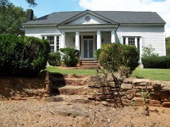 John F. Beavers Houselisted 1984 · 0.3 miles away
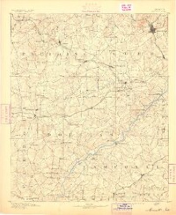
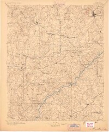
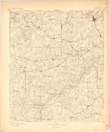
Topographic sheets covering this place
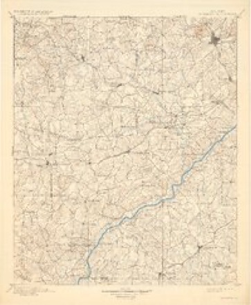
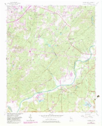
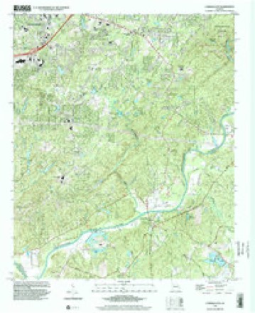
10 surveys from 17 printed sheetsMatched by testing this settlement's coordinate against the published boundary of every sheet in the United States Geological Survey's historical collection. Each opens the scanned sheet at the Survey.
- 1891 USGS Marietta quadrangle1:125000
- 1895 USGS Marietta quadrangle1:125000
- 1897 USGS Marietta quadrangle1:125000
- 1901 USGS Marietta quadrangle1:125000, 4 printings
- 1953 USGS Atlanta quadrangle1:250000, 2 printings
- 1954 USGS Campbellton quadrangle1:24000, 4 printings
- 1957 USGS Atlanta quadrangle1:250000
- 1958 USGS Atlanta quadrangle1:250000
- 1981 USGS Atlanta quadrangle1:100000
- 1999 USGS Campbellton quadrangle1:24000




Fires near this place
108 since 1992Regional context, not property-specific evidence. The federal wildfire occurrence database lists 108 fires within 5 miles of Campbellton between 1992 and 2019, burning about 473 acres in total. 2 started naturally. 36 were recorded as arson. Distance is straight-line from the map coordinates, so a fire counted here may appear on a neighbouring settlement's page as well.
| Reported cause | Fires |
|---|---|
| Debris and open burning | 43 |
| Arson/incendiarism | 36 |
| Misuse of fire by a minor | 8 |
| Equipment and vehicle use | 6 |
| Smoking | 5 |
| Missing data/not specified/undetermined | 5 |
| Recreation and ceremony | 3 |
| Natural | 2 |
The most recent of them, most recent first, with the day each was reported and the service that recorded it.
| Date | Cause | Size | Reported by | Name on the report |
|---|---|---|---|---|
| 7 September 2002 | Misuse of fire by a minor | under an acre | Georgia Forestry Commission | FY2003-DOUGLAS-001 |
| 7 September 1995 | Debris and open burning | under an acre | Georgia Forestry Commission | not named |
| 6 September 2004 | Missing data/not specified/undetermined | under an acre | Georgia Forestry Commission | not named |
| 21 September 2019 | Debris and open burning | 5.0 acres | Georgia Forestry Commission | FY2020FULTON SOUTH003 |
| 16 September 2019 | Natural | 27 acres | Georgia Forestry Commission | FY2020FULTON SOUTH002 |
| 15 September 2010 | Arson/incendiarism | 2.5 acres | Georgia Forestry Commission | FY2011-FULTON SOUTH-001 |
| 13 September 2003 | Recreation and ceremony | 4.0 acres | Georgia Forestry Commission | not named |
| 12 September 1993 | Debris and open burning | 4.5 acres | Georgia Forestry Commission | not named |
Settlements close enough to share some of these fires:
Mines and quarries near this place
7 within 5 milesRegional context, not property-specific evidence. The federal mineral resources record lists 7 workings within 5 miles of Campbellton: 6 producers, 1 past producer. 6 still produce. What was taken out: Sand and Gravel, Construction, Clay. Distance is straight-line from the map coordinates, so a quarry counted here may appear on a neighbouring settlement's page as well.
| Where | Site | Commodity | Status | Recorded |
|---|---|---|---|---|
| Altizer Pit | Clay | Producer | ||
| Douglas County Clay Mine | Clay | Producer | ||
| Anders Dredge | Sand and Gravel, Construction | Producer | ||
| Johnston & Garrett Mine | Sand and Gravel, Construction | Producer | ||
| Stovall Pit | Sand and Gravel, Construction | Past Producer | ||
| Suggs Dredge | Sand and Gravel, Construction | Producer | ||
| Wilson Pit and Dredge | Sand and Gravel, Construction | Producer |
Storms near this place
11 since 2003Regional context, not property-specific evidence. The National Weather Service names Campbellton in 11 storm reports between 2003 and 2025: 6 thunderstorm wind, 2 hail, 2 tornado, 1 flood. No death or injury is recorded in these reports. Each account below is quoted exactly as the forecast office filed it, from the NOAA Storm Events Database, and each date opens the federal record of that event.
| When | Event | Place named | Harm | What the report says |
|---|---|---|---|---|
| March 2018 | Hail | Campbellton | $2,000,000 | An amateur radio operator reported golf ball size hail around the intersection of Campbellton Road and Fulton Industrial Boulevard. |
| March 2018 | Tornado (EF2) | Campbellton | $750,000 | A national Weather Service survey team found that an EF2 tornado with maximum wind speeds of 120 mph and a maximum path width of 315 yards touched down in the South Fulton community between Fairburn and Campbellton. Most of the damage was to two-story homes in the Chestnut Ridge subdivision. More than 50 homes sustained visible damage with at least half sustaining significant damage. The worst damage occurred along Jumpers Trace between Jodhpur Way Suffolk Lane. In this small area, numerous homes had large sections of their roofs removed along with large pieces of the exterior, upstairs, walls. Large trees along the northern and eastern edges of the neighborhood were snapped or uprooted. The tornado continued east for a short distance, ending after crossing Highway 92 just north of Jones Road, but not before it removed part of a roof on a house off of the highway and shingles from the roofs of several houses along Winstar Lane. No injuries were reported. [03/19/18: Tornado #3, County #1/1, EF-2, Fulton, 2018:007]. |
| May 2021 | Tornado (EF1) | Campbellton | $250,000 | A National Weather Service survey determined that an EF1 tornado with maximum winds of 110 MPH and a maximum path width of 400 yards touched down over an industrial area in southwest Fulton County along Fannie Road, just east of the Chattahoochee River. The tornado moved northeast to the area along Westgate Parkway SW and Tradewater Parkway SW, near Fulton Industrial Boulevard SW. In this area, several large warehouses had portions of their roof coverings pulled off. One building had a small part of the northwest facing metal wall blown down. At another warehouse, constructed primarily of brick and sheet metal, the southwest facing wall collapsed with a large portion of its roof ripped off. The tornado crossed Fulton Industrial Boulevard SW near Tradewater Parkway SW and Riverside Road SW, with roof and siding damage to three large warehouses. The tornado continued northeast, moving into more residential areas on either side of Camp Creek Parkway SW. Numerous trees were snapped or uprooted along Plummer Road SW and Reynolds Road SW. Along Boat Rock|Road SW near Binford Place SW, numerous large trees were snapped or uprooted and several houses had trees fall on them. Continuing northeast toward New Hope Road SW, the tornado snapped or uprooted more trees within the Guilford Forest Estates neighborhood and several homes sustained roof and siding damage, again mainly due to falling trees. The tornado weakened as it approached Cascade Road SW and New Hope Road SW, ending north of Cascade Road SW near Burton Trace. [5/3/21: Tornado #2, County #1/1, EF-1, Fulton, 2021:010]. |
| July 2017 | Thunderstorm Wind | Campbellton | $8,000 | The Fulton County 911 center reported trees blown down along Cascade Palmetto Highway from Campbellton Fairburn Road to Rataree Road and West Stubbs Road. |
| June 2025 | Thunderstorm Wind | Campbellton | $1,000 | Report of a tree down near Butner Rd and Margaux Dr. |
| June 2023 | Thunderstorm Wind | Campbellton | $1,000 | The 911 center reported a tree down near Demooney road and Hathcock road. |
| November 2004 | Thunderstorm Wind | Campbellton | $1,000 | The Fulton County 911 Center reported that a large tree fell on a power line and also blocked a portion of Ridge Road just south of Georgia Highway 92. In Palmetto, several large tree limbs were blown down and knocked out an electrical transformer at Cobb and Crawford Streets. |
| April 2025 | Thunderstorm Wind | Campbellton | - | Several trees downed near Holiday Ln. |
| March 2023 | Thunderstorm Wind | Campbellton | - | Report of 10 to 12 trees were downed onto the road at the intersection of Cascade Palmetto Rd and GA-92. |
| July 2008 | Flood | Campbellton | - | Several rounds of thunderstorms tracked across eastern Douglas and southern Fulton county between 6 pm and midnight EDT. Several streets were flooded in the Union City and Fairburn areas. Flooding was observed on Georgia Highway 92 in downtown Fairburn and East Camptbellton, also in downtown Fairburn. Fox 5 Television of Atlanta relayed at least two reports from the public of four or more inches of rain in Union City, and nearly five inches of rain in Fairburn. |
| March 2003 | Hail | Campbellton | - | An off duty National Weather Service employee reported penny size hail on Georgia Highway 92 near the Douglas county line. |
Nearest settlements
The eight closest, with where each one stands in the county. Distances are straight-line, computed from the Geographic Names Information System coordinates.
| Map | Place | Distance | Sheets |
|---|---|---|---|
| Cedar Grove | 1.9 miles | 17 | |
| Mecca (historical) | 2.1 miles | 17 | |
| Corn Creek Cove | 2.3 miles | 17 | |
| Big Creek | 3.3 miles | 19 | |
| Lester | 3.8 miles | 16 | |
| Deep Creek Acres | 4.0 miles | 19 | |
| Tell | 4.0 miles | 19 | |
| Cliftondale | 4.0 miles | 19 |
Provenance
This settlement is recorded in the Geographic Names Information System as feature 331315. The sheet list is computed by point-in-boundary test against the United States Geological Survey's historical topographic inventory. Both are works of the United States government and carry no copyright under 17 U.S.C. 105.
Wildfire. Short, Karen C. 2022. Spatial wildfire occurrence data for the United States, 1992-2020 [FPA_FOD_20221014]. 6th Edition. Fort Collins, CO: Forest Service Research Data Archive. https://doi.org/10.2737/RDS-2013-0009.6 Collected with United States Government funding and usable without additional permissions or fees.
Mines and quarries. USGS Mineral Resources Data System (MRDS) https://mrdata.usgs.gov/mrds/ A work of the United States government, no copyright under 17 U.S.C. 105.
Storms. NOAA National Centers for Environmental Information, Storm Events Database https://www.ncei.noaa.gov/stormevents/ A work of the United States government, no copyright under 17 U.S.C. 105. Narratives are quoted verbatim from the National Weather Service report and are not edited or summarised.