 Block
Cassville, Georgia
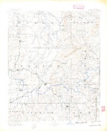
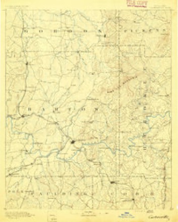
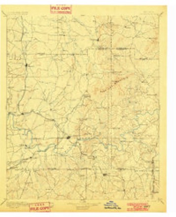
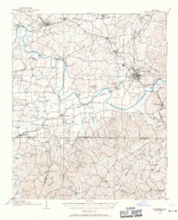
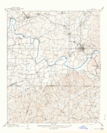
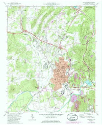
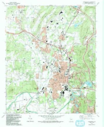
19 topographic sheets cover this place, the earliest surveyed in 1890 and the latest in 1992. It stands in the Cartersville census division. It lies in ZIP code area 30121. It stands on Clear Creek. The Survey maps it on the Cartersville quadrangle. It stands 830 feet above sea level.
On record in Cassville
Buildings and businesses the archive holds for this place. Each opens its own page, with the source record it came from.
On the National Register 3 records
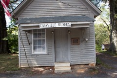 Cassville Post Officelisted 1992
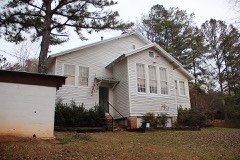 Noble Hill Schoollisted 1987
- Smith and Douglas Family Houseslisted 1999
Topographic sheets covering this place
12 surveys from 19 printed sheetsMatched by testing this settlement's coordinate against the published boundary of every sheet in the United States Geological Survey's historical collection. Each opens the scanned sheet at the Survey.
- 1890 USGS Cartersville quadrangle1:125000
- 1891 USGS Cartersville quadrangle1:125000
- 1896 USGS Cartersville quadrangle1:125000, 4 printings
- 1906 USGS Stilesboro quadrangle1:62500
- 1908 USGS Stilesboro quadrangle1:62500
- 1955 USGS Rome quadrangle1:250000
- 1958 USGS Rome quadrangle1:250000, 3 printings
- 1961 USGS Rome quadrangle1:250000
- 1963 USGS Rome quadrangle1:250000
- 1972 USGS Cartersville quadrangle1:24000, 2 printings
- 1981 USGS Cartersville quadrangle1:100000, 2 printings
- 1992 USGS Cartersville quadrangle1:24000




Fires near this place
361 since 1992Regional context, not property-specific evidence. The federal wildfire occurrence database lists 361 fires within 5 miles of Cassville between 1992 and 2020, burning about 2,170 acres in total. 8 started naturally. 156 were recorded as arson. Distance is straight-line from the map coordinates, so a fire counted here may appear on a neighbouring settlement's page as well.
| Reported cause | Fires |
|---|---|
| Arson/incendiarism | 156 |
| Debris and open burning | 128 |
| Missing data/not specified/undetermined | 20 |
| Equipment and vehicle use | 18 |
| Misuse of fire by a minor | 16 |
| Recreation and ceremony | 8 |
| Natural | 8 |
| Railroad operations and maintenance | 6 |
| Smoking | 1 |
The most recent of them, most recent first, with the day each was reported and the service that recorded it.
| Date | Cause | Size | Reported by | Name on the report |
|---|---|---|---|---|
| 9 September 1997 | Arson/incendiarism | under an acre | Georgia Forestry Commission | not named |
| 8 September 1998 | Debris and open burning | 9.5 acres | Georgia Forestry Commission | not named |
| 8 September 1993 | Equipment and vehicle use | under an acre | Georgia Forestry Commission | not named |
| 7 September 2005 | Misuse of fire by a minor | under an acre | Georgia Forestry Commission | not named |
| 6 September 2002 | Arson/incendiarism | 3.0 acres | Georgia Forestry Commission | FY2003-BARTOW-019 |
| 5 September 1994 | Debris and open burning | under an acre | Georgia Forestry Commission | not named |
| 4 September 1998 | Debris and open burning | 2.1 acres | Georgia Forestry Commission | not named |
| 26 September 2011 | Arson/incendiarism | under an acre | Georgia Forestry Commission | FY2012-BARTOW-027 |
Settlements close enough to share some of these fires:
Mines and quarries near this place
10 of 37 shownRegional context, not property-specific evidence. The federal mineral resources record lists 37 workings within 5 miles of Cassville: 12 past producers, 10 occurrences, 8 unknowns, 7 prospects. None of them still produces. What was taken out: Manganese, Iron, Aluminum, Iron, Manganese. Distance is straight-line from the map coordinates, so a quarry counted here may appear on a neighbouring settlement's page as well.
| Where | Site | Commodity | Status | Recorded |
|---|---|---|---|---|
| Cartersville Quarry | Stone, Crushed/Broken | Past Producer | ||
| Cartervile Distr.-C | Barium-Barite, Manganese | Past Producer | Residual | |
| Felton Mine | Iron, Sulfur | Past Producer | ||
| Georgia Art Pottery Co Pits | Clay | Past Producer | ||
| Vaughn | Manganese, Cobalt | Past Producer | ||
| Ward | Manganese, Cobalt, Nickel | Unknown | Residual | |
| Dysart | Iron, Manganese | Unknown | 1918 | |
| Russell | Iron, Manganese | Unknown | 1954 | |
| Unnamed Barium Deposit | Barium-Barite | Occurrence | ||
| Unnamed Barium Deposit | Barium-Barite | Occurrence |
Storms near this place
24 since 1996Regional context, not property-specific evidence. The National Weather Service names Cassville in 24 storm reports between 1996 and 2026: 15 thunderstorm wind, 5 hail, 2 lightning, 1 tornado. The reports record 27 injuries. Each account below is quoted exactly as the forecast office filed it, from the NOAA Storm Events Database, and each date opens the federal record of that event.
| When | Event | Place named | Harm | What the report says |
|---|---|---|---|---|
| April 2011 | Tornado (EF3) | Cassville | 25 hurt, $15,000,000 | A damage survey conducted by the National Weather Service Forecast Office in Peachtree City and the Cherokee County Emergency Management Director confirmed that a second and stronger EF3 tornado touched down approximately five miles northeast of Kingston, then tracked across extreme northwest Cherokee and into Pickens county, lifting seven miles west of Jasper. This tornado was spawned by the same thunderstorm supercell that had earlier resulted in an EF2 tornado that tracked from Cherokee county, Alabama across northwest Polk, southern Floyd, and into western Bartow county before lifting approximately four miles southwest of Kingston. The total path length of this tornado was 23 miles across the three Georgia counties. Slightly over 15 miles of this path was within Bartow county. The tornado had a maximum path width of 1/2 mile and maximum winds estimated to be 150 mph. Extensive damage was observed across north central and northeast Bartow county to homes. A total of 40 homes were destroyed with 240 others suffering minor damage. Several chicken houses near Interstate-75 were destroyed as well as several outbuildings. Damage was most extensive in the Crowe Springs Road area of Bartow county, approximately five miles northwest of White and north of Cassville. Hundreds of trees and many power lines were also down along the tornado path. Twenty-five injuries were observed in Bartow county, nearly all at the severely damaged or destroyed homes. No fatalities were reported within Bartow county from either tornado.||[04/27-04/28/11: Tornado #6, County #1-3, EF3, Bartow-Cherokee-Pickens, 2011:015]. |
| March 1997 | Thunderstorm Wind | Cassville | 1 hurt, $30,000 | no account filed |
| May 2002 | Lightning | Cassville | 1 hurt, $20,000 | The Cartersville Daily Tribune News reported that a large pine tree was struck outside a mobile home causing the tree to fall on the mobile home. Extensive damage resulted and one person was injured from debris falling inside the mobile home. |
| May 1996 | Thunderstorm Wind | Cassville | $100,000 | no account filed |
| July 2007 | Thunderstorm Wind | Cassville | $10,000 | The Bartow County 911 Center reported that a number of trees and several power lines were down throughout the county, but especially in the Cassville-White Road area between Cartersville and Adairsville. |
| July 2010 | Thunderstorm Wind | Cassville | $4,000 | The Bartow County 911 Center reported that several trees and power lines were down around Cartersville. |
| August 2014 | Thunderstorm Wind | Cassville | $2,000 | The Bartow County 911 Center reported multiple trees down the vicinity of Cassville Road. |
| March 2026 | Thunderstorm Wind | Cassville | $1,000 | Em reports tree down 4400 blk of clear creek rd. |
| May 2025 | Thunderstorm Wind | Cassville | $1,000 | Emergency manager reported a tree down near the intersection of Clear Creek Rd and Pleasant Valley Rd NW. |
| June 2025 | Thunderstorm Wind | Cassville | $1,000 | Report of a tree down in Cassville near Cass White Rd Northwest and Wexford Northwest Circle. |
| July 2024 | Thunderstorm Wind | Cassville | $1,000 | Tree down on power lines along Rudy York Road NW. |
| July 2023 | Thunderstorm Wind | Cassville | $1,000 | Report of power lines were downed on Arbors Way. |
| July 2023 | Thunderstorm Wind | Cassville | $1,000 | Report of power lines were downed on Dogwood Place. |
| July 2023 | Thunderstorm Wind | Cassville | $1,000 | Power lines were downed on Cassville Rd at Fire Tower Rd. |
| July 2016 | Thunderstorm Wind | Cassville | $500 | The Bartow County 911 center reported a tree blown down on Gaddis Road. |
| May 2009 | Lightning | Cassville | $500 | The public reported that lightning struck a tree at a residence on Walker Circle, just east of Cassville, causing the tree to fall. |
| June 1999 | Thunderstorm Wind | Cassville | $500 | The public reported that trees were blown down. |
| March 2025 | Thunderstorm Wind | Cassville | - | Report of siding and awnings blown off of some structures in the town of cassville, as well as several trees down. |
| February 2020 | Flash Flood | Cassville | - | The Emergency Manager reported flooding of Brown Loop Road due to high flow through a nearby creek. Radar estimates indicate that 2.5 to 4 inches of rain have occurred, falling on already wet soils, resulting in flash flooding. |
| June 2006 | Hail | Cassville | - | Channel 11 Television of Atlanta reported that the public had observed penny-sized hail in the Cassville area. |
| March 2005 | Hail | Cassville | - | The public reported penny to quarter-sized hail. |
| April 2003 | Hail | Cassville | - | An amateur radio operator reported quarter-sized hail near Cassville while the public reported penny-sized hail in Cassville. |
| June 2002 | Hail | Cassville | - | The public reported quarter size hail. |
| May 2001 | Hail | Cassville | - | The Bartow county 911 center reported dime size hail. |
Nearest settlements
The eight closest, with where each one stands in the county. Distances are straight-line, computed from the Geographic Names Information System coordinates.
| Map | Place | Distance | Sheets |
|---|---|---|---|
| Country Village | 0.4 miles | 19 | |
| Chunn Estates | 0.7 miles | 19 | |
| Jones Heights | 1.0 miles | 19 | |
| Saddle Ridge Estates | 1.0 miles | 19 | |
| Walker Hills | 1.0 miles | 19 | |
| County Manor | 2.2 miles | 19 | |
| Harvest Estates | 2.3 miles | 19 | |
| Burnt Hickory Hills | 2.5 miles | 19 |
Elsewhere
Matched on this settlement's Geographic Names Information System number rather than its name, so it cannot be a different place of the same name in another state.
| Wikipedia article on Cassville | An encyclopaedic summary. Its text is share-alike, so it is linked here rather than copied. |
| Wikidata item Q1048448 | The structured record the population and elevation above come from. Public domain (CC0). |
Provenance
This settlement is recorded in the Geographic Names Information System as feature 312411. The sheet list is computed by point-in-boundary test against the United States Geological Survey's historical topographic inventory. Both are works of the United States government and carry no copyright under 17 U.S.C. 105.
Wildfire. Short, Karen C. 2022. Spatial wildfire occurrence data for the United States, 1992-2020 [FPA_FOD_20221014]. 6th Edition. Fort Collins, CO: Forest Service Research Data Archive. https://doi.org/10.2737/RDS-2013-0009.6 Collected with United States Government funding and usable without additional permissions or fees.
Mines and quarries. USGS Mineral Resources Data System (MRDS) https://mrdata.usgs.gov/mrds/ A work of the United States government, no copyright under 17 U.S.C. 105.
Storms. NOAA National Centers for Environmental Information, Storm Events Database https://www.ncei.noaa.gov/stormevents/ A work of the United States government, no copyright under 17 U.S.C. 105. Narratives are quoted verbatim from the National Weather Service report and are not edited or summarised.