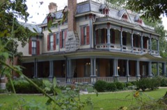
Block
From the record
20 National Register listings published here, 1 of them a National Historic Landmark.
Sources: the National Register database, National Park Service
75 topographic sheets and 11 fire insurance atlases across 2 places.
20 National Register listings published here, 1 of them a National Historic Landmark.
Sources: the National Register database, National Park Service
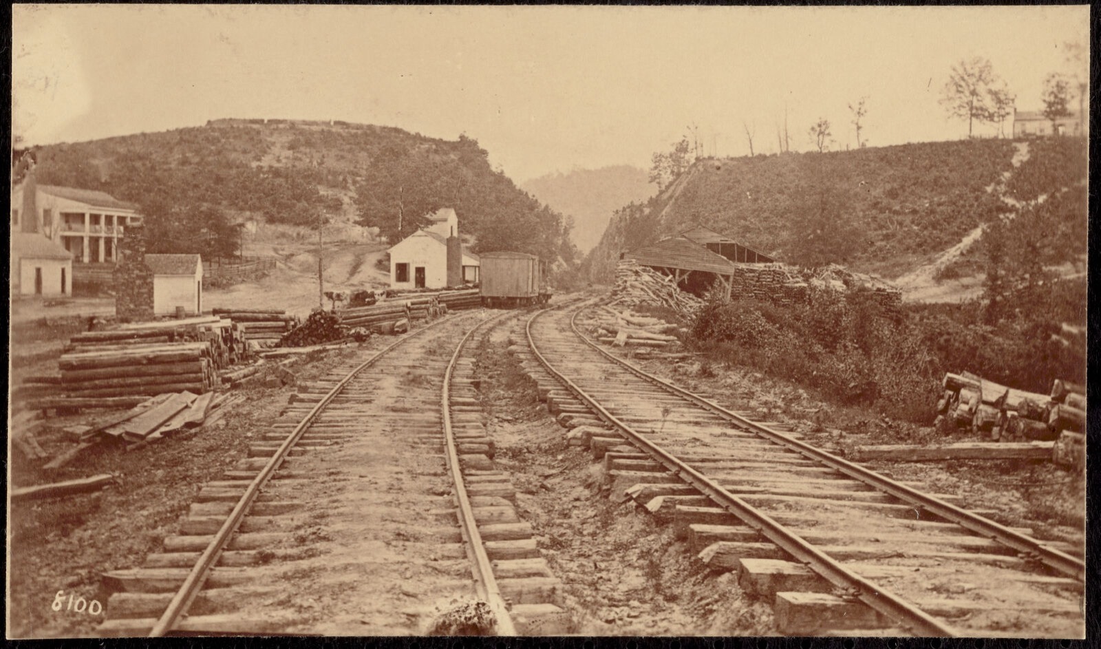
Taken for the Office of War Information and the Farm Security Administration, who photographed the country between 1935 and 1944. Works of United States government photographers, with no known restriction on use. Each opens its catalogue record.
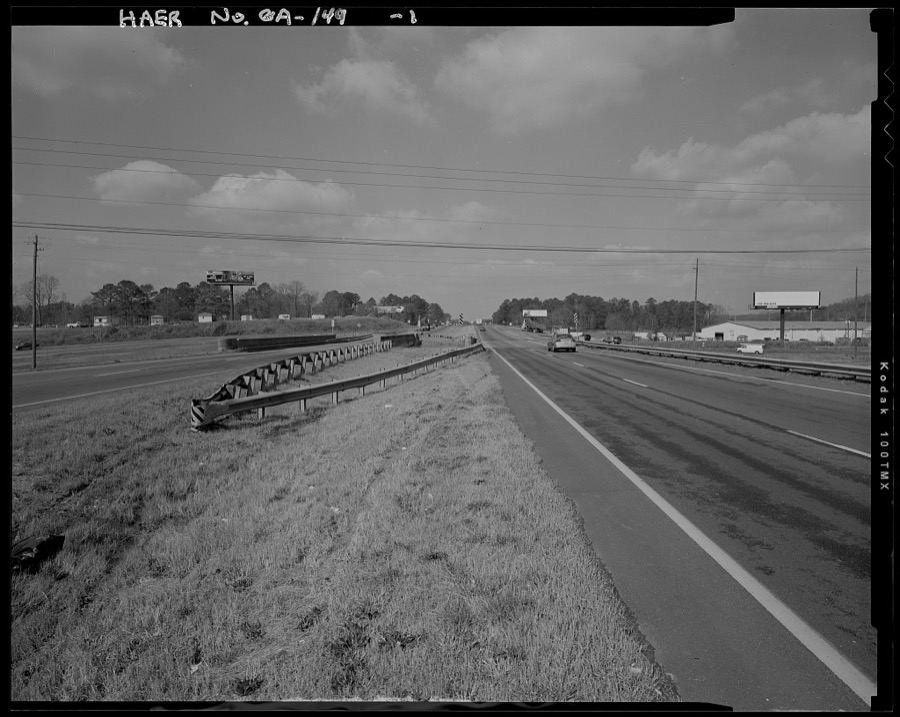
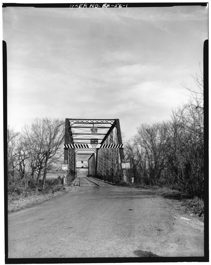
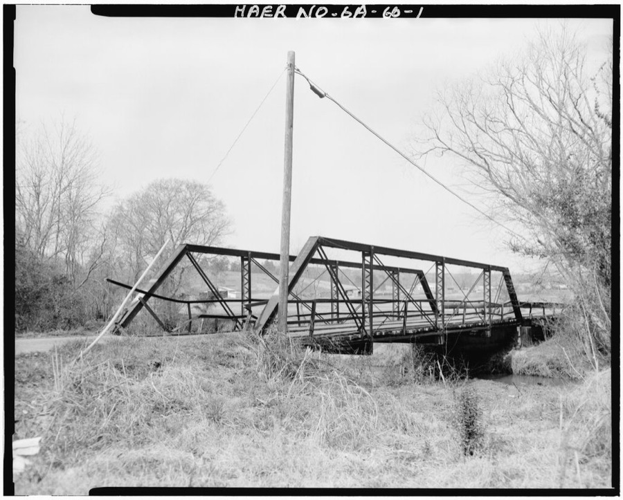
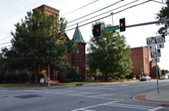
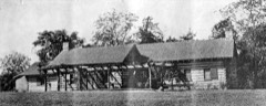
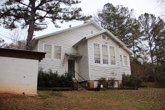
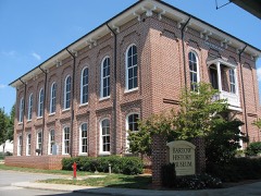
Every property in this county listed on the National Register of Historic Places, with the year it was listed and the federal nomination document.
Selected from the Digital Public Library of America's 6 image records catalogued for this county. Every one shown here carries a public-domain status or a licence that permits reuse on a site that carries advertising; non-commercial, share-alike and restricted images are excluded. The selection is spread across the county's towns (at most eight per town), so no single institution's bulk upload crowds out the rest. Each opens the holding library's record, and the complete set at the Digital Public Library of America is one click away.
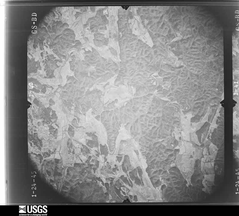
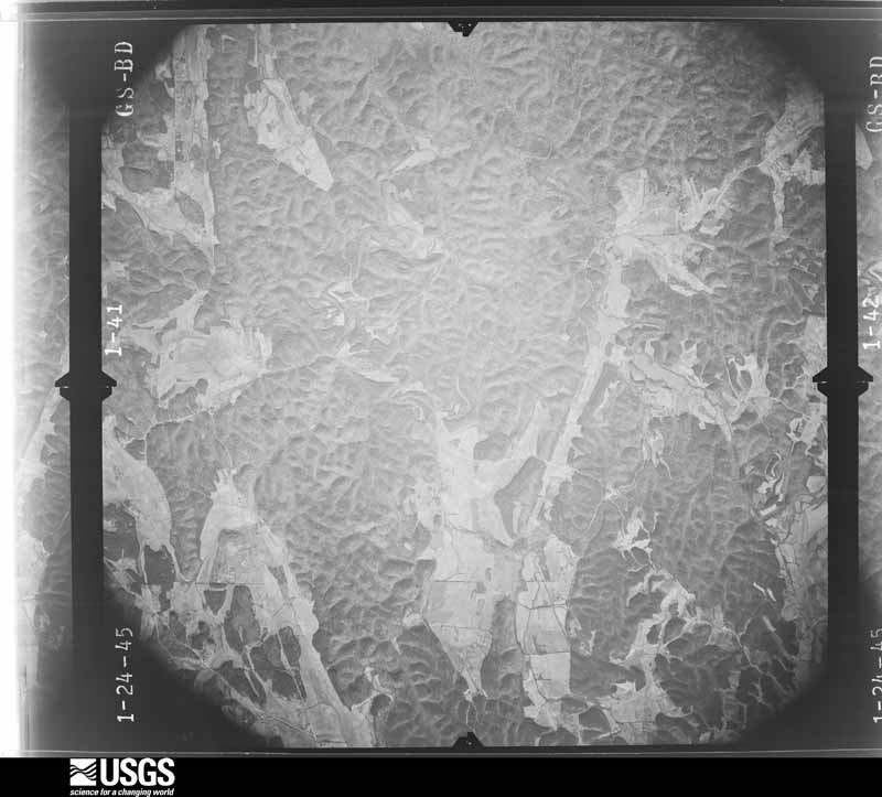
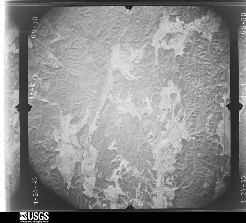
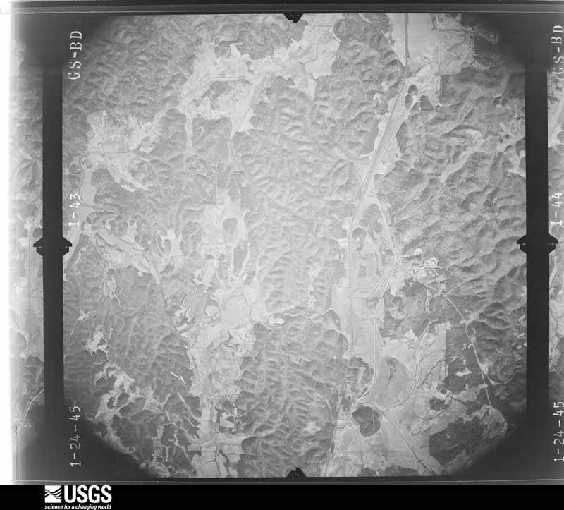
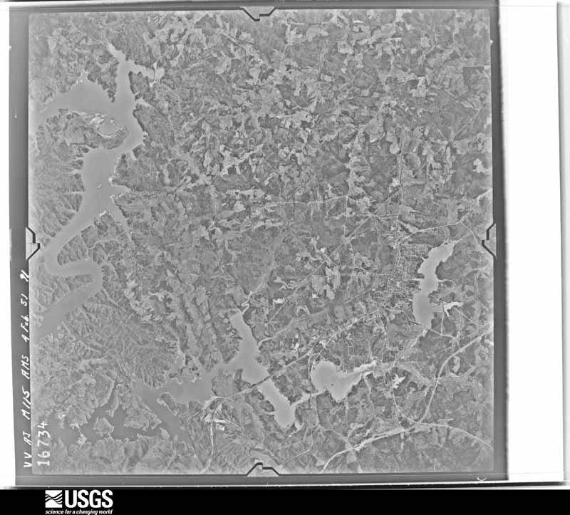
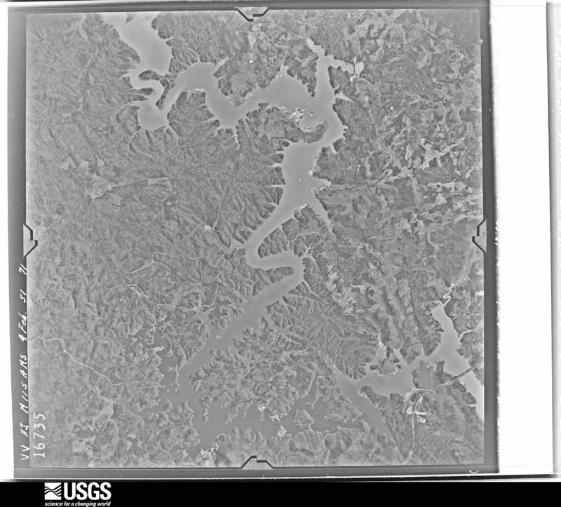
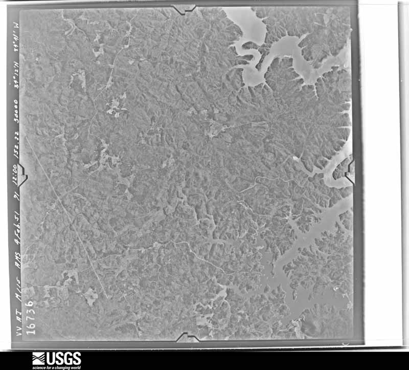
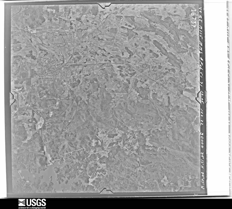
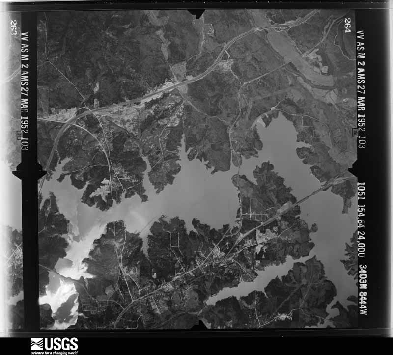
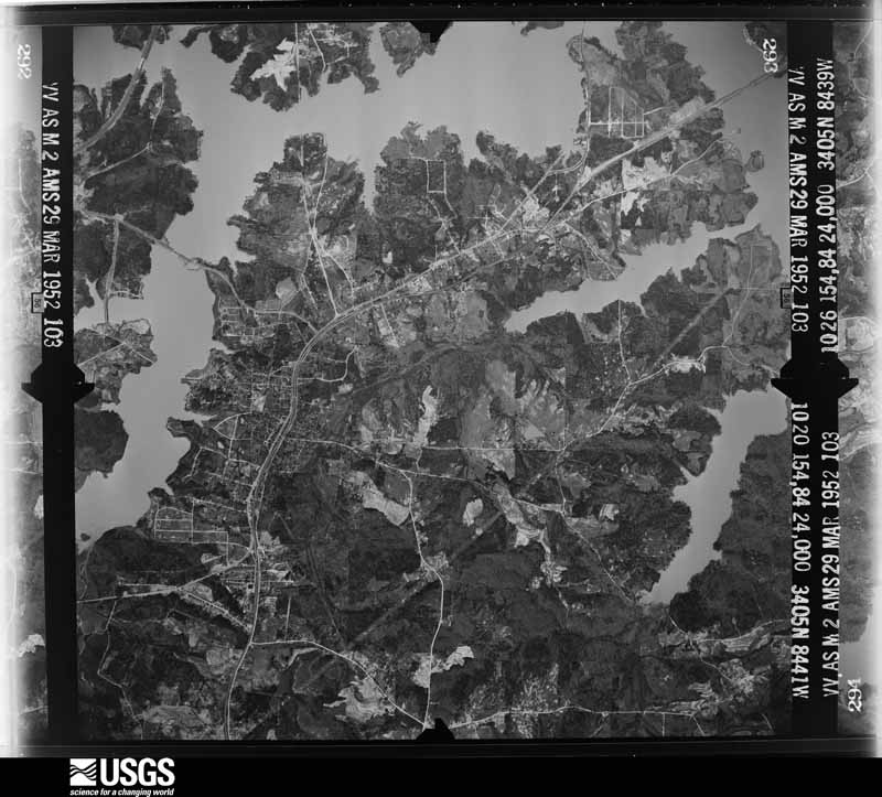
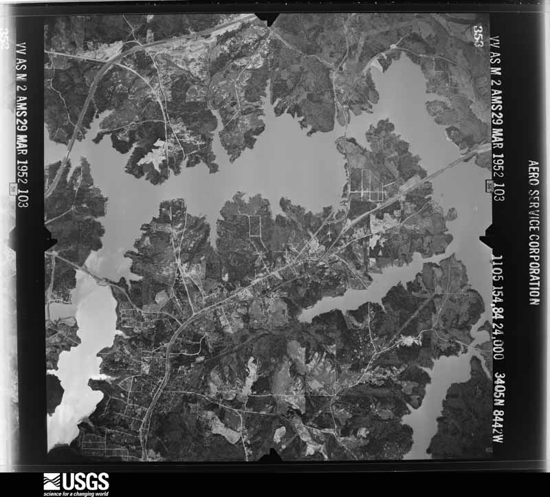
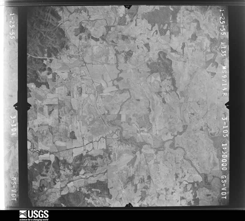
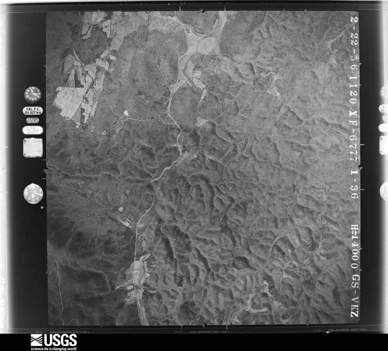
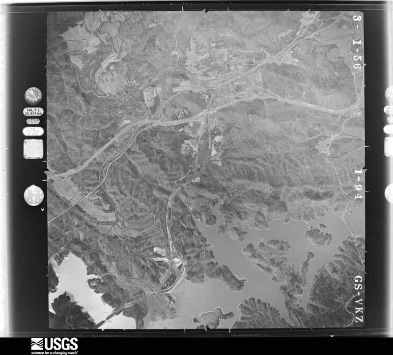
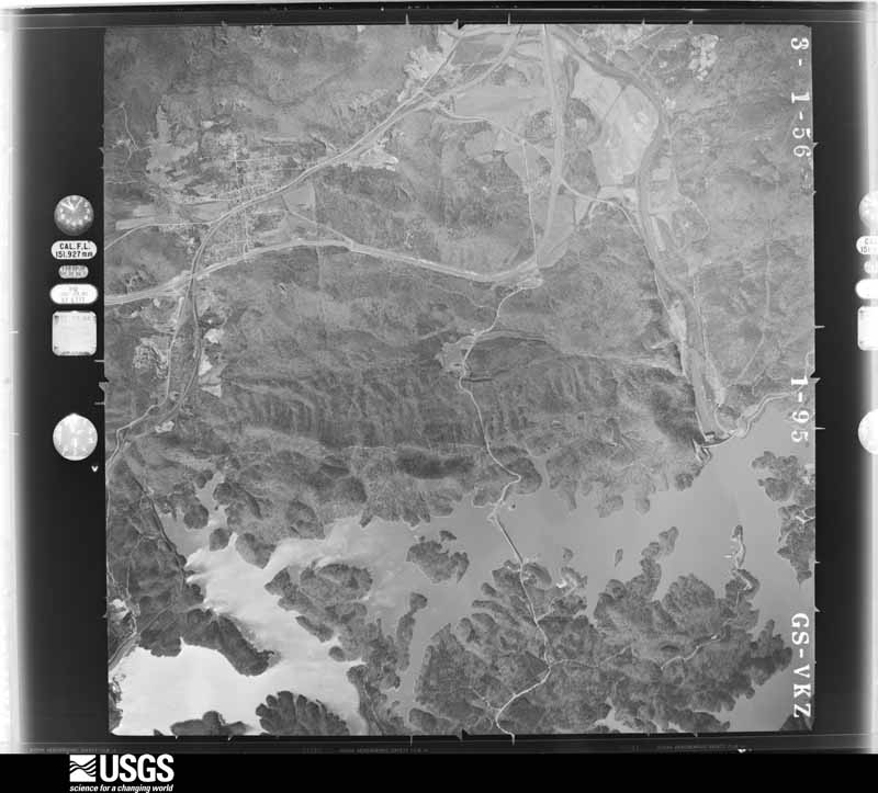
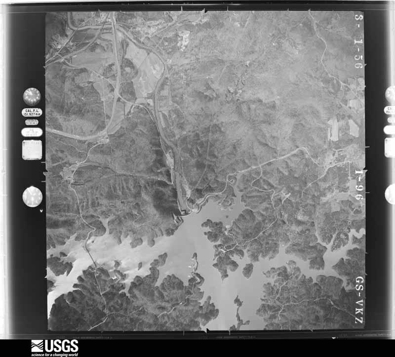
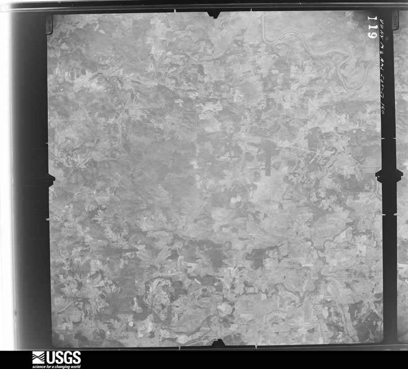
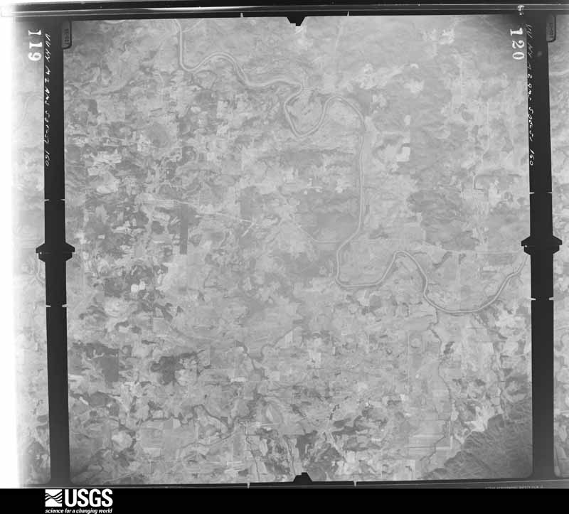
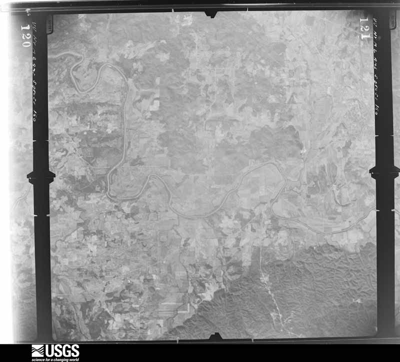
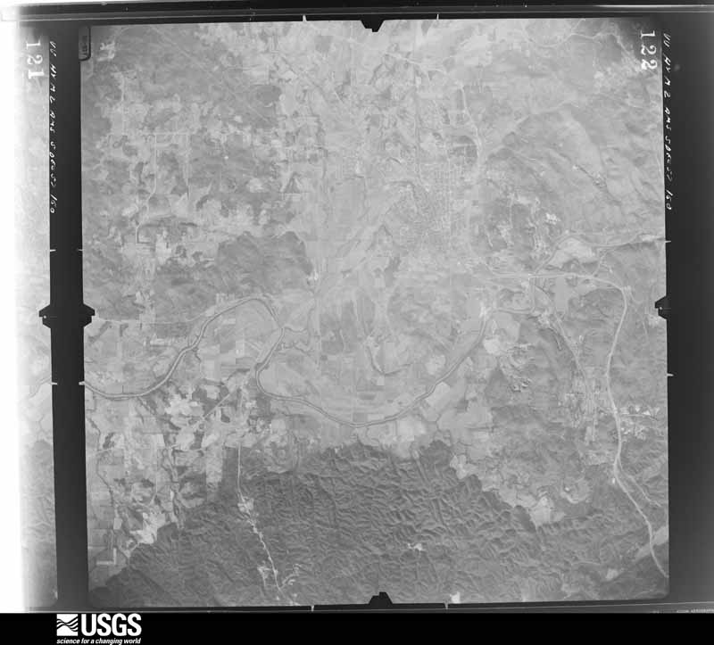
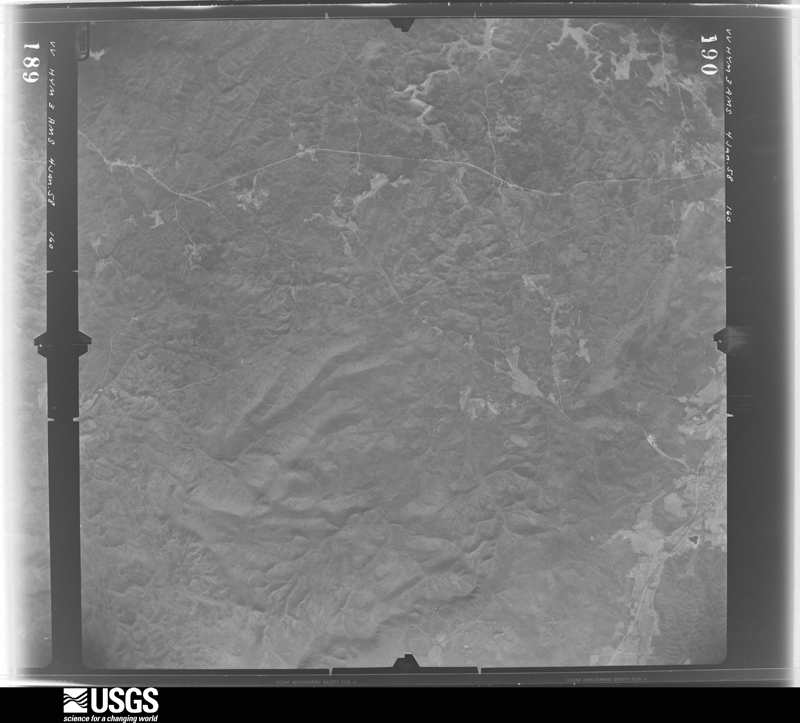
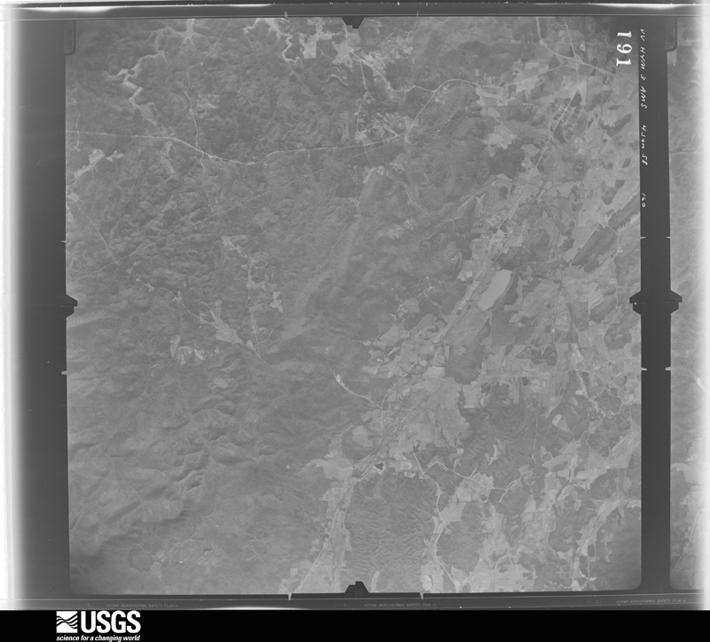
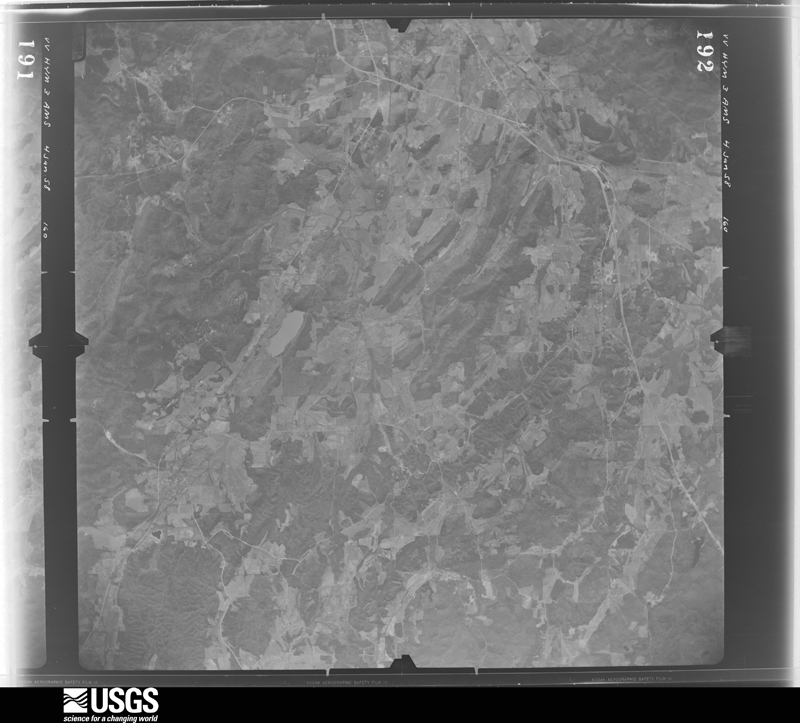
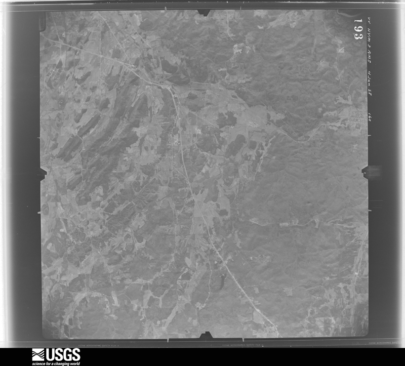
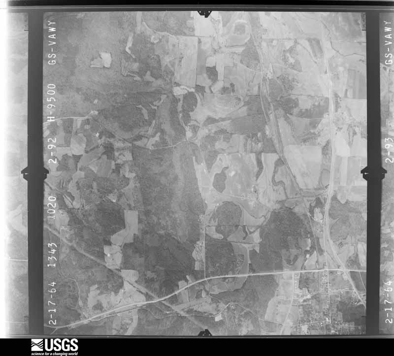
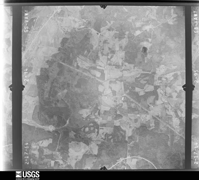
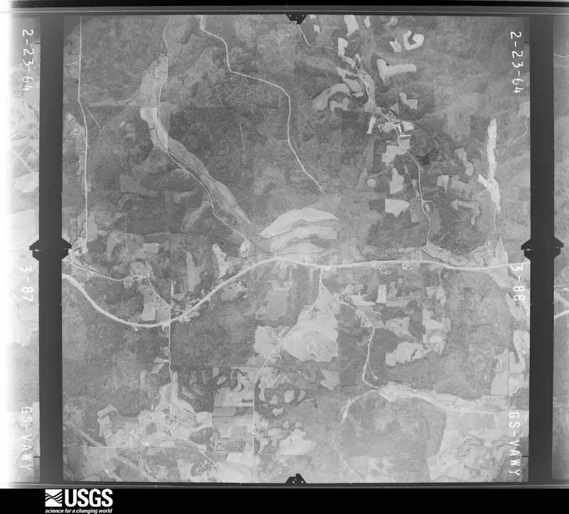
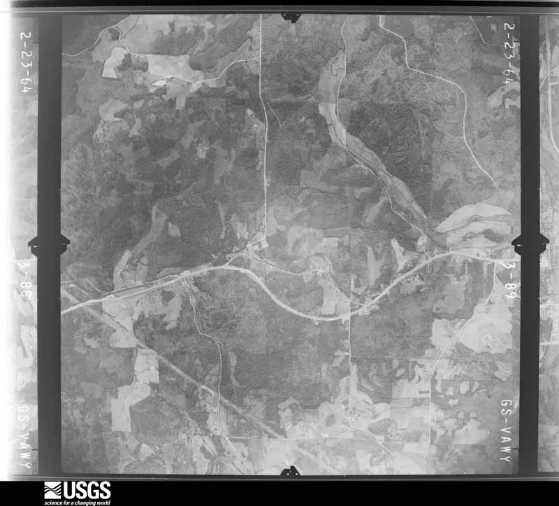
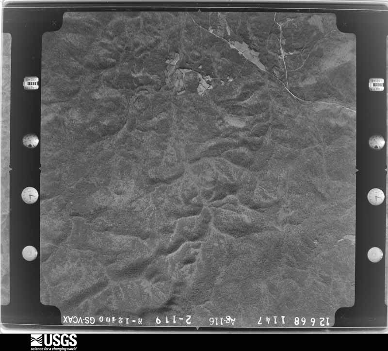
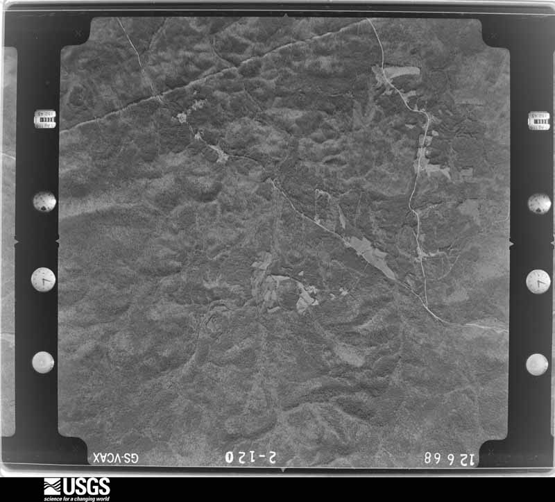
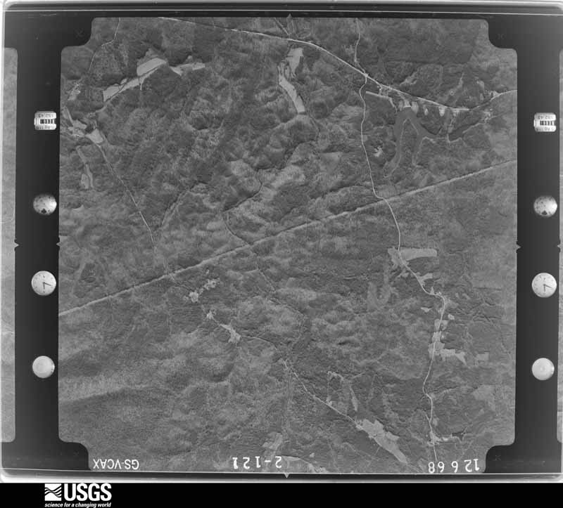
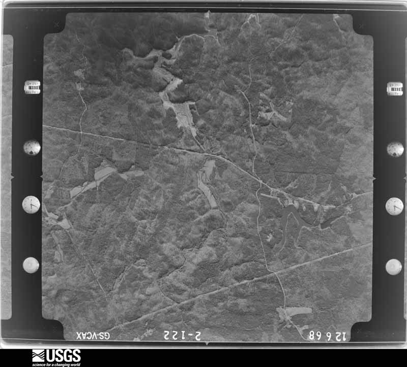
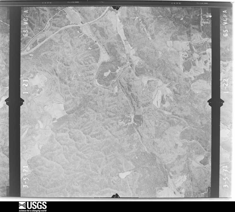
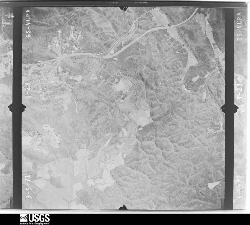
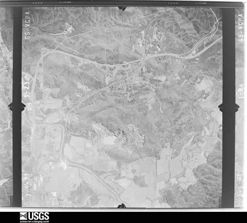
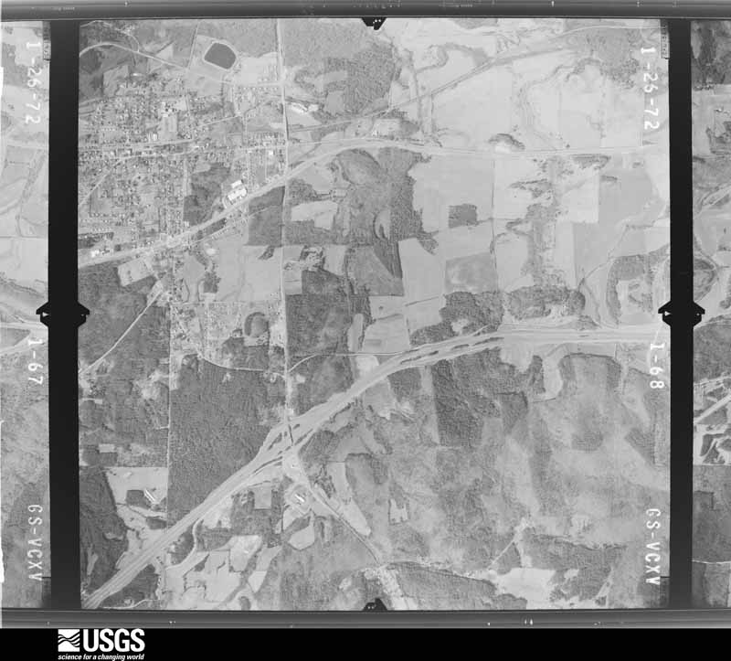
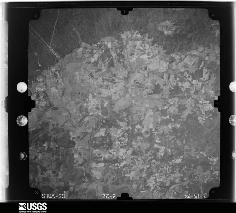
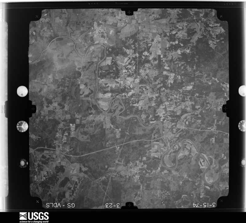
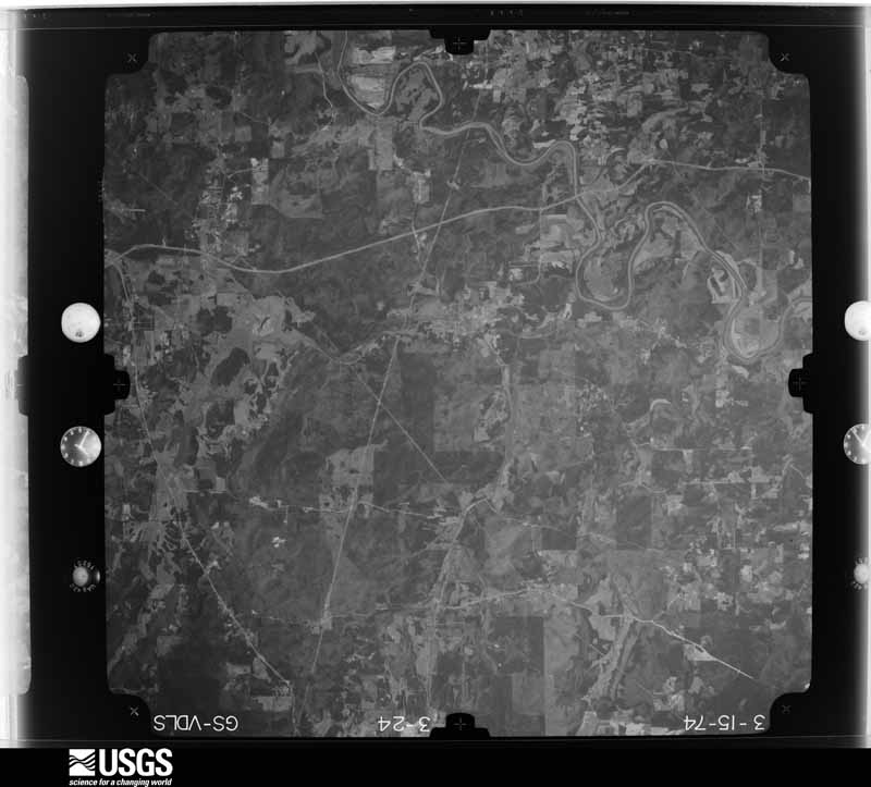
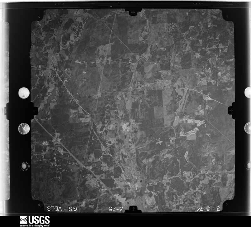
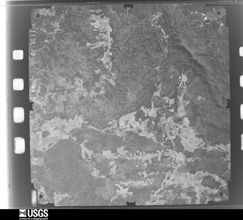
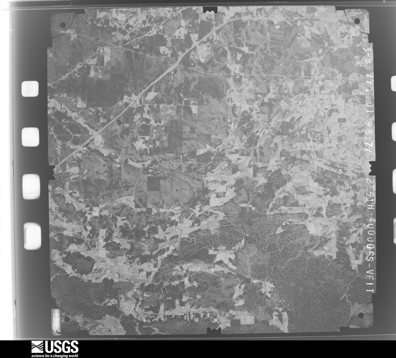
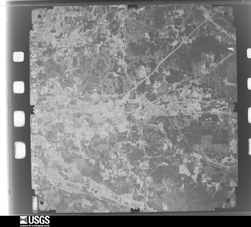
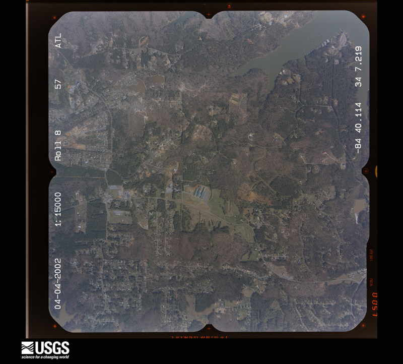
Flown by the U.S. Geological Survey between 1937 and 1989, the Aerial Photo Single Frames collection is the definitive mid-century view of the land: fields, roads and rivers as the camera saw them. The Survey holds 684 frames inside the rectangle that bounds this county; the 48 frames below were taken over the county itself, chosen across the decades of flights (at most four a year from that rectangle), so one flight cannot crowd out the rest. The full set is free to browse and download at EarthExplorer under the dataset Aerial Photo Single Frames.
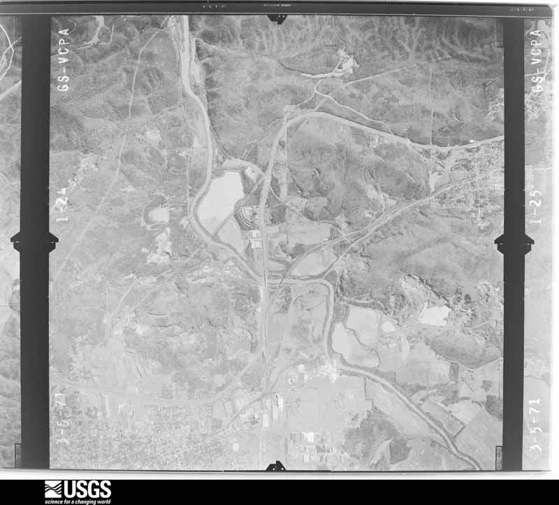
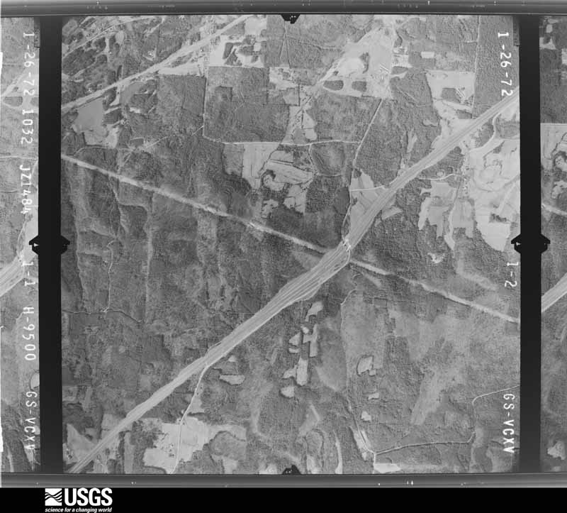
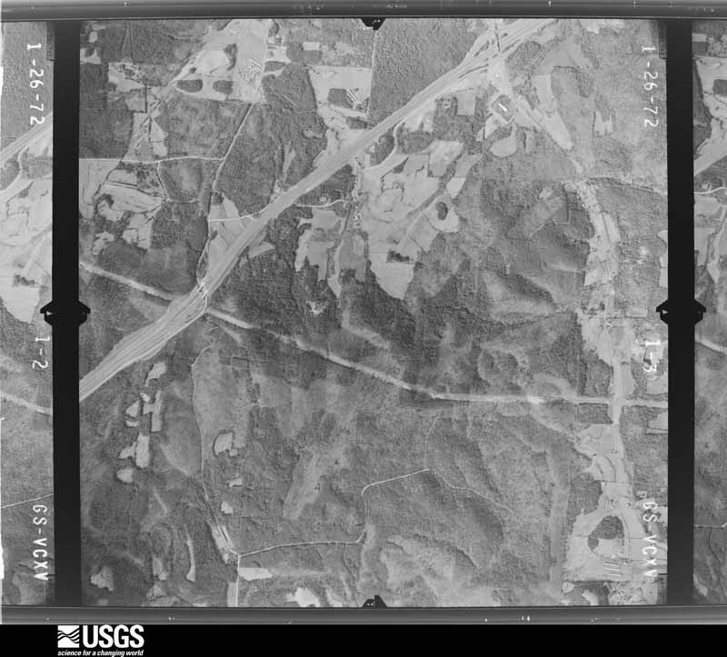
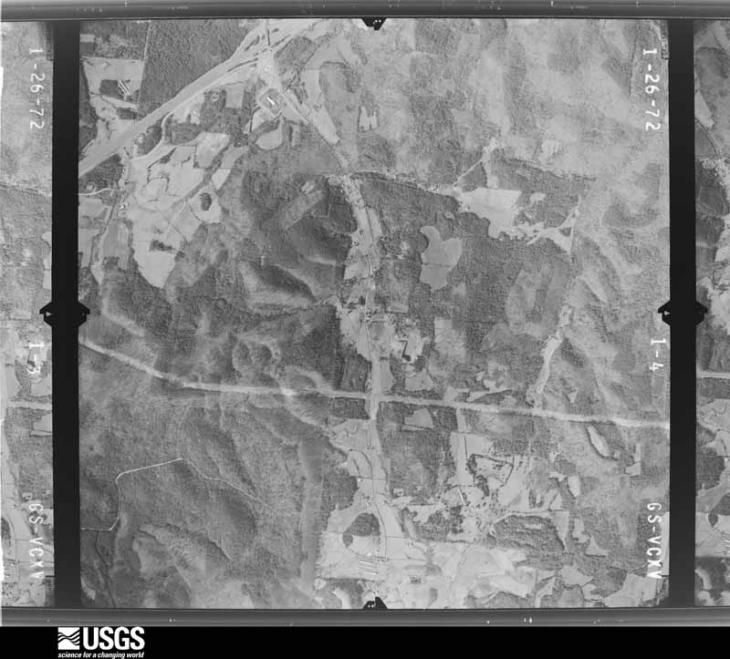
The thermometers that kept this county's weather, and the gages that measured the flow of its streams, as the federal records hold them. The extremes below are measured values from those records, not estimates.
Who lived here in 1950, one enumeration district at a time, as the Census Bureau described each district. Each row opens its official National Archives result, with Population Schedules and ED Maps available there.
Every wildfire the federal occurrence database records inside this county: 2,008 of them, burning about 12,590 acres. 51 started naturally and 967 were recorded as arson. Each settlement page carries the fires within five miles of it.
| Reported cause | Fires |
|---|---|
| Arson/incendiarism | 967 |
| Debris and open burning | 631 |
| Missing data/not specified/undetermined | 98 |
| Equipment and vehicle use | 82 |
| Misuse of fire by a minor | 75 |
| Recreation and ceremony | 65 |
| Natural | 51 |
| Railroad operations and maintenance | 34 |
| Smoking | 5 |
The five largest, by the area the report gives. 7 of them were set deliberately.
| Date | Cause | Size | Reported by | Name on the report |
|---|---|---|---|---|
| 31 March 2006 | Arson/incendiarism | 308 acres | Georgia Forestry Commission | not named |
| 13 March 2004 | Arson/incendiarism | 290 acres | Georgia Forestry Commission | not named |
| 28 July 1993 | Arson/incendiarism | 285 acres | Georgia Forestry Commission | not named |
| 23 March 1995 | Arson/incendiarism | 240 acres | Georgia Forestry Commission | not named |
| 15 October 2016 | Recreation and ceremony | 216 acres | Georgia Forestry Commission | FY2017-BARTOW-019 |
| 23 April 2007 | Arson/incendiarism | 171 acres | Georgia Forestry Commission | BARTOW59 |
| 14 February 2015 | Arson/incendiarism | 127 acres | Georgia Forestry Commission | FY2015-BARTOW-016 |
| 10 March 1993 | Arson/incendiarism | 125 acres | Georgia Forestry Commission | not named |
Every settlement page carries the fires within five miles of it - see the settlement index below.
The NOAA Storm Events Database holds 490 reports for this county, causing 3 deaths, 51 injuries and about $97,118,150 in recorded property damage. Each settlement page carries the reports that name it.
| Kind of event | Reports |
|---|---|
| Thunderstorm Wind | 252 |
| Hail | 139 |
| Flash Flood | 36 |
| Tornado | 26 |
| Lightning | 22 |
| Flood | 7 |
| Funnel Cloud | 4 |
| Heavy Rain | 3 |
| Winter Storm | 1 |
The most serious of them, by death, then injury, then recorded damage. The accounts are quoted exactly as the forecast office filed them.
| When | Event | Place named | Harm | What the report says |
|---|---|---|---|---|
| January 2013 | Tornado (EF3) | Adairsville | 1 killed, 9 hurt, $60,000,000 | A tornado touched down just southwest of Adairsville at approximately 1112 AM EST. The tornado strengthened to high-end EF-3 in Adairsville where dozens of homes were damaged or destroyed. At least 95 structures were damaged, with 31 destroyed, 17 sustaining major damage, and 47 with minor damage. Most of the damage to homes was a result of trees falling on homes in downtown Adairsville. The worst damage was along Highway 140 where a large portion of a manufacturing plant was destroyed. One fatality occurred when a tree fell on a mobile home. Over 100 cars were overturned near exit 306 on Interstate 75.|[01/30/13: Tornado #1, County #1-2, EF3, Bartow-Gordon, 2013:001]. |
| April 2020 | Tornado (EF1) | Ladds | 1 killed, 2 hurt, $100,000 | A National Weather Service survey found that an EF1 tornado with maximum wind speeds of 100 mph and a maximum path width of 250 yards touched down in Bartow County on the southwest side of Cartersville along West Avenue where a fence was blown down and roofing material was peeled off of a small business. The tornado moved northeast along West Avenue with sporadic damage to trees. A very large oak tree was blown down onto a home around Herring Street and Fite Street killing a 34 year old man asleep in a bedroom hit by the tree. The tornado continued moving to the northeast blowing down trees along Bartow Street and West Cherokee Avenue in addition to other areas across downtown Cartersville. The tornado crossed I-75 and Highway 294/20 spur blowing down a few trees. The tornado intensified as it crossed Highway 20 east of I75. Numerous trees were blown down near the end of Black Road Northeast with minor roof damage to a home. Along Bells Ferry Road numerous large trees were snapped and blown down as the tornado reached maximum intensity in this |area. The storm crossed Stamp Creek Road blowing down trees and power lines before entering the Pine Log Wildlife Management Area blowing down 60-70 more trees before lifting. [04/12/20: Tornado #7, County #1/1, EF-1, Bartow, 2020:013]. |
| July 2003 | Thunderstorm Wind | Cartersville | 1 killed, $15,000 | The Atlanta Journal-Constitution reported that a large tree limb fell on a man's car during an early morning thunderstorm. The man was killed instantly during the incident as the car was crushed under the weight of the tree limb. |
| April 2011 | Tornado (EF3) | Cassville | 25 hurt, $15,000,000 | A damage survey conducted by the National Weather Service Forecast Office in Peachtree City and the Cherokee County Emergency Management Director confirmed that a second and stronger EF3 tornado touched down approximately five miles northeast of Kingston, then tracked across extreme northwest Cherokee and into Pickens county, lifting seven miles west of Jasper. This tornado was spawned by the same thunderstorm supercell that had earlier resulted in an EF2 tornado that tracked from Cherokee county, Alabama across northwest Polk, southern Floyd, and into western Bartow county before lifting approximately four miles southwest of Kingston. The total path length of this tornado was 23 miles across the three Georgia counties. Slightly over 15 miles of this path was within Bartow county. The tornado had a maximum path width of 1/2 mile and maximum winds estimated to be 150 mph. Extensive damage was observed across north central and northeast Bartow county to homes. A total of 40 homes were destroyed with 240 others suffering minor damage. Several chicken houses near Interstate-75 were destroyed as well as several outbuildings. Damage was most extensive in the Crowe Springs Road area of Bartow county, approximately five miles northwest of White and north of Cassville. Hundreds of trees and many power lines were also down along the tornado path. Twenty-five injuries were observed in Bartow county, nearly all at the severely damaged or destroyed homes. No fatalities were reported within Bartow county from either tornado.||[04/27-04/28/11: Tornado #6, County #1-3, EF3, Bartow-Cherokee-Pickens, 2011:015]. |
| April 1982 | Tornado (F2) | not stated | 5 hurt, $250,000 | no account filed |
| June 1994 | Tornado (F1) | Adairsville | 2 hurt, $500,000 | A short lived tornado touched down along Old U.S. Highway 41 two miles south of Adairsville. The tornado destroyed three double-wide mobile homes and moderately damage three others. One double-wide trailer, occupied by a sleeping 5 year old female child, was tossed 125 feet which disintegrated on impact. The child was found in the rubble uninjured and still asleep. Twenty other homes received considerable roof and porch damage while several trees and 20 to 30 power lines were downed before the tornado dissipated. A 1000 electric customers were without power and 1900 residents lost telephone service for at least three hours in the Adairsville area. Two minor injuries were reported from wind blown shattered glass. |
| July 1970 | Tornado (F2) | not stated | 2 hurt, $25,000 | no account filed |
| May 2002 | Thunderstorm Wind | Adairsville | 1 hurt, $1,000,000 | The Cartersville Daily Tribune News and emergency management personnel reported that straight line thunderstorm winds estimated at 80 to 100 mph caused widespread damage to trees, power lines, and several structures across the northern part of the county from Adairsville, to Folsom, to Pine Log, to Rydal. Some of the worst damage occurred in Adairsville where a large corporation had a large portion of its roof blown off along with roof mounted ventilation systems. Debris in the form of flying glass injured one midnight shift worker. In addition, a barn was destroyed on Georgia 140 in Folsom, at least 4 roads were blocked and closed, and at least 2,500 were left without power. |
| February 1993 | Tornado (F1) | Cartersville | 1 hurt, $500,000 | A weak and short lived tornado touched down 5 miles east of Cartersville along Georgia Highway 20 in southeast Bartow County. Four to five homes sustained major damage with roofs removed, porches blown off and windows blown out. One double wide mobile home was moved 30 feet off its foundation. |
| March 1997 | Thunderstorm Wind | Cassville | 1 hurt, $30,000 | no account filed |
| May 2002 | Lightning | Cassville | 1 hurt, $20,000 | The Cartersville Daily Tribune News reported that a large pine tree was struck outside a mobile home causing the tree to fall on the mobile home. Extensive damage resulted and one person was injured from debris falling inside the mobile home. |
| March 1997 | Thunderstorm Wind | Cartersville | 1 hurt, $5,000 | no account filed |
| July 2000 | Lightning | Cartersville | 1 hurt | The Atlanta Journal and Constitution reported that a 64 year-old man was struck by lightning while playing golf at the Cartersville Country Club. He sustained a burn on his foot where the lightning bolt exited his body. He spent the night in the hospital and was released. |
| March 2008 | Tornado (EF3) | Taylorsville | $3,000,000 | A storm survey conducted by the National Weather Service Forecast Office in Peachtree City, Georgia in cooperation with the Georgia State Patrol confirmed that the EF3 tornado, that originated in Polk county just east of Seney, and continued across extreme southeast Floyd county, continued into southern Bartow county. The tornado entered the county about 3 1/4 miles west-northwest of Taylorsville and finally lifted about four miles southwest of Cartersville. The tornado tracked approximately 11 miles across southern Bartow county. While no deaths or injuries were reported from the tornado in Bartow county, several mobile homes were heavily damaged and hundreds of trees and several high voltage power transmission lines were knocked down and there was damage to the Georgia Power Plant on Georgia Highway 113. In addition, the Taylorsville Elementary School sustained significant damage.||Several homes sustained roof damage along Popum Road just north of Taylorsville, a number of trees were down along Euharlee Road, and several bulidings, a number of trees, and several street signs were down in the area of Woodland High School about three miles southwest of Cartersville. All together, there were approximately 55 homes damaged, six of which were destroyed, and 30 homes with minor damage. Two schools, as noted above Taylorsville Elementary and Woodland High School suffered heavy damage. Some Georgia Power high transmission towers were also down. |
| April 2009 | Hail | Adairsville | $1,500,000 | Several reports of large hail were received from the public across northern Bartow county from west of Adairsville along the Floyd county line to east of Funkhouser along the Cherokee county line. Baseball-sized hail was observed in the Adairsville area, with 2.0 inch diameter sized-hail west of Adairsville and half-dollar-sized hail near Funkhouser. Windshields of vehicles were broken by the large hail in the Adairsville area. |
| November 2002 | Tornado (F2) | Halls | $1,500,000 | A National Weather Service disaster survey team and the Bartow county Emergency Management Director confirmed a 12 mile long west-east path of damage beginning on Barnsley Garden Road near Barnsley Gardens in northwest Bartow county continuing east to just south of Halls Station crossing U.S. Highway 41, then east across Pleasant Valley Road, to just east of Interstate 75 on Crowe Spring Road. The path of damage, up to 500 yards wide in some area, consisted mostly of damage caused by straight line winds with speeds of 80 to 100 mph, but there was definite evidence of tornadic damage of F2 intensity in an isolated area on Clear Creek Road. This portion of the tornado had a path length of 500 yards with a path width of 100 yards. Tornadic damage of F1 intensity was evident along a secondary segment of the damage path at the intersection of Cedar Creek Road and Hazel Road about 3 miles north of Cassville. This portion of the torando had a path length of 500 yards with a path width of 100 yards. Twelve to 15 residental homes suffered major structural damage, seven chicken houses were destroyed, including 7500 chickens, and a barn was completely destroyed. There were also numerous downed trees and power lines along and near the the damage path. Bartow county was one of five counties declared in a state of emergency by the governor. |
| February 2005 | Hail | Adairsville | $1,000,000 | The public reported hail ranging in size from quarters just north of Adairsville to nearly 2.0 inches in diameter in Adairsville. Extensive damage was reported to vehicles and roofs of homes in the area. |
| March 2012 | Hail | White | $704,000 | The public reported quarter to golf ball size hail that fell for around 15 minutes in multiple locations around White. The ground and roads were covered. |
| April 2016 | Hail | Oakland | $670,000 | A truck driver on I-75 at exit 288 reported hail as big as golf balls. |
| June 2011 | Hail | Cartersville | $667,000 | The Bartow County 911 Center reported golf ball-sized hail near Cartersville and the public observed quarter-sized hail, also near Cartersville. The storm responsible for this hail tracked across the far southern part of the county near the Paulding and Cobb county lines to near Lake Allatoona. |
| April 2009 | Hail | Adairsville | $500,000 | The public observed 2.0 inch diameter hail in the Adairsville area from a second severe thunderstorm that tracked across the northern part of Bartow county. |
| February 2005 | Hail | Cartersville | $500,000 | The public reported hail ranging in size from quarters to golf balls. Extensive damage was reported to vehicles and roofs of buildings and homes in the area. |
| July 2005 | Flash Flood | East Portion | $500,000 | The Bartow County Emergency Management Director reported flash flooding across the eastern portions of the county. From 8 to 10 inches of rain fell in these areas between midnight and noon July 11th. Fifteen roads were washed out and one bridge was washed out in the area from Funkhouser, to Pine Log, to White, to east of Cartersville. Several other roads were flooded that did not receive damage. Minor flood damage was also reported to seven homes, with five homes completely isolated by water during the height of the flooding. Flooding was particularly severe on Green Acre Lane, Grassdale Lane, and near Cass High School. These streets were covered with water for several days after the initial flash flood. Pumpkinvine Creek near the Cobb county line was seven feet above normal level. Water flowed more than 200 yards beyond the banks of the creek. |
| February 1993 | Thunderstorm Wind | Cartersville | $500,000 | Several county buildings sustained damage in Cartersville. A brick retaining wall around the jail was blown down and an edifice on a municipal building was damaged in Cartersville. Several large trees and power lines downed. In Cartersville, 600 electric customers lost power. |
| July 2001 | Flash Flood | Cartersville | $450,000 | The Bartow county Emergency Manager, as well as the local Cartersville Daily Tribune News, reported that anywhere from three to six inches of rain fell in a two to four hour period across the eastern and northeastern parts of Bartow county from Cartersville to Pine Log. Extensive flash flooding resulted, some of the worst flooding in the county's history. Sixteen homes and three mobile homes were flooded and had to be evacuated. Thirty-nine people had to be rescued from homes by boat. Most of the flooding took place in the Pine Log and White areas of northeast Bartow county as the Little Pine Log Creek overflowed. On Nally Road, just west of Pine Log, near the confluence of the Little Pine Log Creek and the Gum Springs Creek, three chicken houses were inundated with water. One of the chicken houses was a total loss and resulted in the loss of 20,000 broiler chickens. Other property at the farm was also damaged by flood waters including a barn and two more houses. Several streets were flooded in Whiteand Pine Log. U.S. Highway 411 was under water at Stamp Creek Road and had to be closed. Local residents reported that this was the first time they had seen this happen in history. In Cartersville, flooding was less severe, but two to three inch rain totals in a two to three hour period resulted in some street flooding and flooding of two businesses. |
| July 2010 | Hail | Adairsville | $437,000 | The Bartow County 911 Center relayed reports of nickel to golf ball-sized hail from the northwest part of the county between Adairsville and the Floyd and Gordon county lines. The large hail broke windows of homes in Adairsville. A couple of trees were also down from thunderstorms winds. One tree was down on Jarrett Loop Road and another on White Road. |
| June 2010 | Hail | Cartersville | $437,000 | The public observed quarter-sized hail near Cartersville ranging up to golf ball-sized hail near and just south of Emerson near the Cobb county bordern. Penny-sized hail was also observed by the public just before this time frame in the White area northeast of Cartersville. |
| March 2021 | Tornado (EF1) | Cass | $400,000 | A National Weather Service survey found that an EF1 tornado with maximum wind speeds of 95 MPH and a maximum path width of 200 yards touched down as it crossed Highway 41 on the north side of Cartersville uprooting some pine trees and toppling a few onto power lines. The storm moved northeast crossing Oakridge Drive and uprooting trees onto homes. The tornado reached its maximum intensity as it crossed onto Greenacre Lane and Ridgedale Road where numerous trees were snapped or uprooted onto and around homes. Several homes also had shingles blown off or portions of their roof peeled back. The tornado continued to the northeast crossing Grassdale Road and moving along Old Grassdale Road where the windows and doors at a gas station were blown out and portions of a wall were blown down. Numerous trees were snapped or uprooted onto or near homes in this area as well. The tornado struck a large metal warehouse peeling large portions of the metal roof and throwing the panels hundreds of yards to the northeast of the building. The tornado continued northeast crossing Peeples Valley Road snapping and uprooting trees on both sides of the road before moving into a largely wooded area and lifting before reaching I-75. [3/25/21: Tornado #3, County #1/1, EF-1, Bartow, 2021:008]. |
| April 2009 | Hail | Cartersville | $400,000 | The public observed golf ball-sized hail just south of Emerson and quarter-sized hail southeast of Cartersville. Radar data suggests that similar-sized hail likely fell from Cartersville to the southeast corner of the county near Lake Allatoona. |
| April 2009 | Hail | Kingston | $400,000 | A number of reports were received from the public of quarter to golf ball-sized hail across the southern half of Bartow county. This was the result of two severe thunderstorms that moved east across the county. The first storm tracked from west of Kingston to near Red Mountain State Park, while the second storm tracked from the Floyd county line west of Euharlee, to the south side of Cartersville, to Lake Allatoona. Although these storms were separate and distinct, they tracked across the same areas within a 10-mile/15-minute period. Golf ball-sized hail was reported near Euharlee decreasing to quarter-sized hail on the south side of Cartersville. |
| July 2010 | Heavy Rain | Cartersville | $300,000 | Fox 5 Television of Atlanta, along with other Atlanta broadcast media and the Cartersville Daily Tribune reported that heavy rain flooded several downtown Cartersville businesses as well as causing a partial roof collapse of the Hobby Lobby store at the Market Square Shopping Center. Three to four inches of rain had fallen in a small area around downtown Cartersville during the previous two hours. Considerable damage was reported to the store building and its contents, many of which were destroyed by rain water. However, no injuries were reported as a result of the incident.||Several other downtown businesses suffered water damage when several inches of water crept into the structures, including Four Way Lunch, Swheat Market, City Cellar, and Moore's Market. Several nearby homes on Herring Street were flooded with 2.5 to 3.0 feet of water. Seven residents of these homes were rescued from the flooded homes. Finally, the Keith Building, a city building, on Leake Street sustained significant water damage when water rose nearly two feet deep in the lower level of the structure. Minor flooding was also observed at the building housing the Cartersville Daily Tribune.||Most of the flooding was determined to be the result of a clogged drainage ditch near the CSX Railroad tracks. This prevented the heavy runoff water from reaching the nearby Etowah River. |
| April 2011 | Tornado (EF1) | Wooleys | $250,000 | A damage survey conducted by the National Weather Service Forecast Office in Peachtree City, Georgia confirmed that the EF2 tornado that originated in Cherokee county, Alabama and continued across northwest Polk and southern Floyd counties in Georgia continued into western Bartow county before lifting. However, the tornado weakened to an EF1 strength before moving into Bartow county. The tornado crossed into Bartow county from Floyd county approximately 6.8 miles southwest of Kingston and continued to a point approximately 4.0 miles southwest of Kingston before lifting. Damage in Bartow county was mostly confined to hundreds of downed trees and several power lines. However, two chicken houses were destroyed in western Bartow county from this tornado. There were no fatalities or injuries reported with this tornado in Bartow county.||It should be noted that the same thunderstorm that spawned this EF2 tornado went on just five minutes later to spawn an EF3 tornado that tracked across northern Bartow, northwestern Cherokee, and into Pickens county, and then later another EF2 tornado that tracked from Lumpkin into White and Rabun counties in the northeast Georgia mountains.||[04/27-04/28/11: Tornado #5, County #3-3, EF2, Polk-Floyd-Bartow, 2011:014]. |
| August 2010 | Lightning | Adairsville | $250,000 | The Bartow County 911 Center reported that seven homes across the county were struck by lightning. Damages ranged from minor to moderate. |
| June 2008 | Lightning | Cartersville | $250,000 | The Daily Tribune of Cartersville reported that lightning struck several homes in the Bishop Road area on the northwest side of Cartersville. Fire emergency crews were dispatched to at least four homes in the area. One home however, sustained significant damage as the fire reignited several hours after being put out. The home was a total loss. No other significant damage was reported at the remaining sites. |
| April 1989 | Tornado (F2) | not stated | $250,000 | no account filed |
| May 1984 | Tornado (F1) | not stated | $250,000 | no account filed |
| December 1983 | Tornado (F1) | not stated | $250,000 | no account filed |
| April 1977 | Tornado (F1) | not stated | $250,000 | no account filed |
| June 2010 | Thunderstorm Wind | Adairsville | $225,000 | The Bartow County 911 Center and the Daily Tribune News of Cartersville reported that more than a dozen trees were down near Adairsville and at least eight trees were down near Red Top Mountain State Park in the far southeast part of the county near Lake Allatoona. Several power lines were also down as a result. The most significant damage was in the Oakland Heights area where several vehicles were damaged from downed trees. A home on Cassville Road was damaged when a tree fell on the structure, which also damaged three adjacent vehicles. The most significant damage was in the Oakland Heights area were several vehicles were damaged from downed trees. In addition, a farm, also on Cassville Road, suffered damage when the roof was blown off a hay barn, several trees were blown down, and at least a couple of cows were injured or killed. |
| August 2007 | Lightning | Euharlee | $200,000 | The Daily Tribune News of Cartersville reported that lightning struck a home on Lazy Water Drive in Euharlee. The attic was set on fire and about 75 to 100 percent of the attic was burned. Other parts of the home also sustained smoke and water damage. A double-wide mobile home was also struck by lightning in Taylorsville on Old Alabama Road. This home was a total loss as a result of the lightning strike. |
| June 2007 | Hail | Rydal | $200,000 | A storm spotter reported golf ball-sized hail in the Rydal area while the public reported nickel-sized hail just southeast of Rydal. |
| June 2006 | Thunderstorm Wind | Cartersville | $200,000 | The Bartow County Emergency Management Director reported that a microburst or downburst of thunderstorm winds caused extensive damage to trees, power lines, homes, and automobiles on Cassville Road in Cartersville. The path of damage was approximately 200 yards wide and one-half mile long. A number of trees and power lines were blown down along the street. Several automobiles were damaged from downed trees and several roofs of homes were damaged. |
| December 2011 | Tornado (EF0) | Adairsville | $150,000 | A damage survey conducted by the National Weather Service Forecast Office in Peachtree City, Georgia confirmed that the EF0 tornado that touched down in extreme northeast Floyd county continued into extreme northwest Bartow county before continuing into Gordon county. The tornado remained at EF0 intensity across extreme northwest Gordon county with a maximum path width of 440 yards. Damage survey members observed and county emergency personnel reported that a number of trees were down along Oak Grove Road just north of Georgia Highway 140. A few homes in this area also sustained minor to moderate damage from downed trees.||[12/22/11: Tornado #2, County #2-3, EF3, Floyd-Bartow-Gordon, 2011:028]. |
| April 2009 | Lightning | Euharlee | $150,000 | The Herald Tribune of Cartersville reported that lightning struck a home on Fairfield Drive and set the structure on fire. The blaze in the two-story home was confined to the attic. |
| June 2006 | Lightning | Cartersville | $150,000 | The Daily Tribune News of Cartersville reported that lightning struck a home on Fossetts Cove. The ensuing fire destroyed 60 percent of the home. |
| June 2005 | Lightning | Cartersville | $150,000 | The Daily News Tribune of Cartersville reported that lightning struck a home on Manor Way setting the home on fire and causing major damage to the roof and the interior of the structure. |
| April 2003 | Lightning | Taylorsville | $150,000 | The Bartow county Emergency Management Director reported that lightning struck a home on Mullinax road northwest of Taylorsville causing extensive damage to the structure. |
| March 2021 | Tornado (EF1) | Taylorsville | $100,000 | A National Weather Service survey found that an EF1 tornado with maximum wind speeds of 95 MPH and a maximum path width of 125 yards touched down along Lanier Drive SW on the northwest side of Taylorsville in southern Bartow County. Trees were uprooted near a small school along Euharlee Street SW and a large tree fell onto a small cabin on the eastern side of the road. The tornado continued moving northeast across an open field where it flipped a large center pivot irrigation system. The tornado then hit a tree line along Euharlee Creek where numerous trees were snapped and uprooted. The storm continued moving northeast along the creek snapping and uprooting trees before ending as it approached Old Alabama Road. [3/25/21: Tornado #1, County #1/1, EF-1, Bartow, 2021:006]. |
| March 2017 | Thunderstorm Wind | Oakland | $100,000 | The Bartow County Emergency Manager reported 2 tractor-trailers blown over on I-75 near exit 288. . |
| September 2008 | Lightning | Emerson | $100,000 | The Bartow County 911 Center reported that lightning struck a home on Colonial Club Drive and started a fire. Specific damages were not provided. |
| June 2007 | Lightning | Allatoona | $100,000 | The Bartow County Emergency Management Director reported that two structural fires occurred as a result of lightning strikes. |
| May 1998 | Lightning | Cartersville | $100,000 | A fire ignited by lightning destroyed a home on Kings Camp Road. |
| May 1996 | Thunderstorm Wind | Cassville | $100,000 | no account filed |
| March 2020 | Thunderstorm Wind | Wooleys | $75,000 | A National Weather Service survey determined that thunderstorm winds gusting up to 80 mph heavily damaged 2 barns and snapped or uprooted numerous trees. The damage began along Boss Road and extended around 1.5 miles east across Macedonia Road to Worthington Road. |
| July 2003 | Thunderstorm Wind | Cartersville | $75,000 | The Daily Tribune News of Cartersville reported that a number of trees were blown down by thunderstorm winds. One tree fell through the roof and part of the Neel Law Firm Building and another tree fell down on the historic Roselawn property. Other trees had been blown down on roads in the area. Trees were also blown down at the court house and the nearby health buliding, as well as in the yards of several residences in the city. Some power lines were down also and several power outages were reported in the county. |
| April 2011 | Thunderstorm Wind | Adairsville | $50,000 | The Bartow County 911 Center reported that dozens of trees were blown down in the Adairsville area. In addition, a large pole barn on Doris Road in Adairsville was flattened by the strong thunderstorm wind gusts. An off duty National Weather Service meteorologist estimated wind gusts to be on the order of 60 mph along Interstate-75 east of Adairsville near mile marker 305. One tree was down near mile marker 306 on Interstate-75 blocking one of the northbound lanes. |
| April 2007 | Lightning | Cartersville | $50,000 | The Daily Tribune News of Cartersville reported that lightning struck a home on Euharlee-Five Forks Road. The resulting fire was quickly contained. Nonetheless, the home sustained moderate damage. |
| May 2003 | Flash Flood | Countywide | $50,000 | A storm spotter and the Bartow county Emergency Management Director reported extensive and major flooding of more than a dozen roadways in the county. Flooding was most notable in the Adairsville area. Some of the roads were more than two feet under water. |
| April 1998 | Thunderstorm Wind | Kingston | $50,000 | Severe thunderstorm winds damaged a few chicken houses near Kingston. Numerous trees were knocked down across northwest Bartow county from Kingston to White blocking some roads. Some 5000 customers lost electricity when a substation was damaged. |
| June 1994 | Thunderstorm Wind | Adairsville | $50,000 | Thunderstorm winds downed several large trees and limbs across United States Highway 41 in Adairsville. Ten homes received roof and glass damage from wind toppled trees along United States Highway on the south side of Adairsville. |
The Survey's mineral resources record lists 478 workings inside this county. 10 still produce and 468 are closed or unrecorded. Each settlement page carries the workings within five miles of it.
| Commodity | Workings |
|---|---|
| Iron | 159 |
| Manganese | 133 |
| Barium-Barite | 55 |
| Iron, Manganese | 51 |
| Aluminum | 37 |
| Gold | 17 |
| Stone, Crushed/Broken | 8 |
| Cobalt, Nickel | 4 |
| Barium-Barite, Manganese | 4 |
| Clay | 3 |
| Sand and Gravel, Construction | 3 |
| Manganese, Iron | 3 |
| Silver | 2 |
| Titanium | 2 |
The least common of them first, because a county's hundredth gravel pit says nothing its first ten did not.
| Where | Site | Commodity | Status | Recorded |
|---|---|---|---|---|
| Barnsley Garden Prospect | Manganese, Aluminum | Prospect | ||
| Bartow No 2 Mine | Graphite, Iron | Past Producer | ||
| Bluff Mine | Iron, Sulfur | Past Producer | ||
| Felton Mine | Iron, Sulfur | Past Producer | ||
| Gemes Mine Cartersville | Cobalt, Manganese | Past Producer | 1908 | |
| Savannah Plant Ti | Titanium, Pigment | Plant | 1955 | |
| Upshire Quarry | Stone | Past Producer | ||
| Vaughn | Manganese, Cobalt | Past Producer | ||
| Allatoona | Titanium | Occurrence | ||
| Allatoona Dam Deposit | Titanium | Occurrence | Ilmenite | |
| Allatoona Vein | Gold, Silver | Past Producer | Vein | |
| Avery Mine | Gold, Silver | Prospect | Vein | |
| Cartersville Operation | Barium-Barite, Calcium | Past Producer | ||
| Cyprus Thompson Weinman Mine | Barium-Barite, Calcium | Past Producer | ||
| Unnamed Graphite Mine | Graphite | Past Producer | ||
| Woodward Prospect | Graphite | Prospect | ||
| Big Spring | Manganese, Iron | Unknown | 1919 | |
| Cherokee Barite | Manganese, Iron | Unknown | 1954 | |
| Funkhouser Co Quarry | Clay | Past Producer | ||
| Georgia Art Pottery Co Pits | Clay | Past Producer | ||
| Jones Mine | Sand and Gravel, Construction, Barium-Barite | Past Producer | ||
| Lots 191 and 242 | Manganese, Iron | Unknown | 1954 | |
| Pumpkinvine Creek Dredge | Sand and Gravel, Construction | Producer | ||
| Pumpkinvine Creek Dredge No. 2 | Sand and Gravel, Construction | Past Producer | ||
| Universal Ceramics Pit | Clay | Producer | ||
| Bearden | Manganese, Cobalt, Nickel | Unknown | Residual | |
| Cartervile Distr.-C | Barium-Barite, Manganese | Past Producer | Residual | |
| Gemes | Manganese, Cobalt, Nickel | Producer | Weathering Residual | |
| Georgia Barium Pocher | Barium-Barite, Manganese | Past Producer | 1917 | |
| Lot 261 | Barium-Barite, Manganese | Unknown | 1954 | |
| Masteller | Manganese, Cobalt, Nickel | Unknown | Residual | |
| R.B. Satterfield Property | Barium-Barite, Manganese | Past Producer | 1917 | |
| Ward | Manganese, Cobalt, Nickel | Unknown | Residual | |
| Adairsville Quarry | Stone, Crushed/Broken | Past Producer | ||
| Cartersville Quarry | Stone, Crushed/Broken | Past Producer | ||
| Conasauga No. 1 Mine | Stone, Crushed/Broken | Past Producer | ||
| Highway Quarry | Stone, Crushed/Broken | Past Producer | ||
| Howard Hydraulic Cement Co Quarry | Stone, Crushed/Broken | Past Producer | ||
| Ladd Lime and Stone Co Quarry | Stone, Crushed/Broken | Past Producer | ||
| Painter Quarry | Stone, Crushed/Broken | Past Producer | ||
| Rob Shinall Quarry | Stone, Crushed/Broken | Producer | ||
| J.J.Howard | Gold | Past Producer | Vein | |
| Unnamed Gold Deposit | Gold | Occurrence | ||
| Unnamed Gold Deposit | Gold | Occurrence | ||
| Unnamed Gold Deposit | Gold | Occurrence | ||
| Unnamed Gold Deposit | Gold | Occurrence | ||
| Unnamed Gold Deposit | Gold | Occurrence | ||
| Unnamed Gold Deposit | Gold | Occurrence | ||
| Unnamed Gold Deposit | Gold | Occurrence | ||
| Unnamed Gold Deposit | Gold | Occurrence | ||
| Unnamed Gold Deposit | Gold | Occurrence | ||
| Unnamed Gold Deposit | Gold | Occurrence | ||
| Unnamed Gold Deposit | Gold | Occurrence | ||
| Unnamed Gold Deposit | Gold | Occurrence | ||
| Unnamed Gold Deposit | Gold | Occurrence | ||
| Unnamed Gold Mine | Gold | Occurrence | ||
| Akin Mine | Aluminum | Past Producer | ||
| Barnsley Mines | Aluminum | Past Producer | ||
| Carroll Prospect | Aluminum | Prospect | ||
| Clemmons Mine | Aluminum | Past Producer | ||
| Conneseena Mine | Aluminum | Past Producer | ||
| Davis 1 Prospect | Aluminum | Prospect | ||
| Davis 2 Prospect | Aluminum | Prospect | ||
| Gilbreath and Other Mines | Aluminum | Past Producer | ||
| Green Prospect | Aluminum | Prospect | ||
| Hawkins Mine | Aluminum | Past Producer | ||
| Holt Mine | Aluminum | Past Producer | ||
| Lot 102 | Aluminum | Prospect | ||
| Lot 109 | Aluminum | Prospect | ||
| Lot 115 | Aluminum | Prospect | ||
| Lot 175 | Aluminum | Prospect | ||
| Lot 37 | Aluminum | Prospect | ||
| Lot 8 | Aluminum | Prospect | ||
| Lot 9 | Aluminum | Prospect | ||
| Mary Mine | Aluminum | Past Producer | ||
| Mcguire Mine | Aluminum | Past Producer | ||
| Mcguire Prospect | Aluminum | Prospect | ||
| Mcmakin Mine | Iron, Aluminum | Past Producer | ||
| Montague Prospect | Aluminum | Prospect | ||
| Morrow Prospect | Aluminum | Prospect | ||
| Scott Prospects | Aluminum | Prospect | ||
| Sheets Mine | Aluminum | Past Producer | ||
| Sullins Prospect | Iron, Aluminum | Occurrence | ||
| Terry-Shaw Mine | Aluminum | Past Producer | ||
| Unnamed Mine | Aluminum | Past Producer | ||
| Unnamed Prospect | Aluminum | Prospect | ||
| Unnamed Prospect | Aluminum | Prospect | ||
| Unnamed Prospect | Aluminum | Prospect | ||
| Unnamed Prospect | Aluminum | Prospect | ||
| Unnamed Prospect | Aluminum | Prospect | ||
| Unnamed Prospect | Aluminum | Prospect | ||
| Unnammed Prospect | Aluminum | Prospect | ||
| Warner Mine | Aluminum | Past Producer | ||
| Abramson | Iron, Manganese | Unknown | 1954 | |
| Alexander | Iron, Manganese | Unknown | 1954 | |
| Allison | Iron, Manganese | Past Producer | 1919 | |
| Apex | Iron, Manganese | Unknown | 1954 | |
| Aubrey | Iron, Manganese | Past Producer | 1918 | |
| Bertha | Iron, Manganese | Unknown | 1954 | |
| Big Bertha | Iron, Manganese | Unknown | 1954 | |
| Boneyard | Iron, Manganese | Past Producer | 1900 | |
| Bufford | Iron, Manganese | Unknown | 1954 | |
| Chumley Hill-Reo Mountain Mines | Iron, Manganese | Past Producer | ||
| Collins | Iron, Manganese | Unknown | 1919 | |
| Conner | Iron, Manganese | Unknown | 1954 | |
| Dobbins Appalachian Mines | Iron, Manganese | Past Producer | ||
| Dupont | Iron, Manganese | Unknown | 1954 | |
| Dysart | Iron, Manganese | Unknown | 1918 | |
| Georgia Minerals | Iron, Manganese | Unknown | 1954 | |
| Greenfield Property | Iron, Manganese | Prospect | 1918 | |
| Hebble Pit | Iron, Manganese | Past Producer | 1917 | |
| Ingram and Evans Property | Iron, Manganese | Past Producer | 1917 | |
| Kerr Property | Iron, Manganese | Prospect | 1919 | |
| Knight | Iron, Manganese | Unknown | 1954 | |
| Krebs | Iron, Manganese | Unknown | 1954 | |
| Little Red | Iron, Manganese | Unknown | 1954 | |
| Lot 118 | Iron, Manganese | Unknown | 1954 | |
| Lot 171 | Iron, Manganese | Past Producer | 1919 | |
| Lot 389 | Iron, Manganese | Unknown | 1954 | |
| Lot 44 | Iron, Manganese | Unknown | ||
| Lot 761 | Iron, Manganese | Prospect | 1954 | |
| Lots 275 and 276 | Iron, Manganese | Unknown | 1954 | |
| Lots 329, 330, and 392 | Iron, Manganese | Past Producer | 1908 | |
| Lots 392 and 393 | Iron, Manganese | Unknown | 1919 | |
| Lots 828, 829, and 830 | Iron, Manganese | Unknown | 1954 | |
| Lumpkin | Iron, Manganese | Past Producer | 1954 | |
| New Chumley | Iron, Manganese | Unknown | 1954 | |
| New Riverside | Iron, Manganese | Unknown | 1954 | |
| Norris Mine | Iron, Manganese | Past Producer | 1917 | |
| Nulsen | Iron, Manganese | Unknown | 1954 | |
| Parrot Springs | Iron, Manganese | Past Producer | 1954 | |
| Pauper Farm | Iron, Manganese | Unknown | 1915 | |
| Peach Tree Mine | Iron, Manganese | Unknown | 1919 | |
| Puckett Property | Iron, Manganese | Past Producer | 1919 | |
| Red | Iron, Manganese | Unknown | 1954 | |
| Red Number 2 | Iron, Manganese | Past Producer | 1954 | |
| Roan | Iron, Manganese | Past Producer | 1954 | |
| Russell | Iron, Manganese | Unknown | 1954 | |
| Section House | Iron, Manganese | Unknown | 1954 | |
| Sugar Hill | Iron, Manganese | Unknown | 1954 | |
| Vaughn | Iron, Manganese | Unknown | 1954 | |
| Vincent Property | Iron, Manganese | Occurrence | 1908 | |
| Virginia Iron, Coal, and Coke Co. | Iron, Manganese | Prospect | 1919 | |
| Wofford Mine | Iron, Manganese | Past Producer | 1895 | |
| Barite Mining Co Mine | Barium-Barite | Past Producer | ||
| Barite Operations Concentrator | Barium-Barite | Past Producer | ||
| Big Creek Mine | Barium-Barite | Past Producer | ||
| Big Tom Mine | Barium-Barite | Past Producer | ||
| Cain Mining Bartow Operations | Barium-Barite | Producer | ||
| Chemical Products Corp Furnace | Barium-Barite | Producer | ||
| Clayton Mine | Barium-Barite | Past Producer | ||
| George E Shropshire Mine | Barium-Barite | Past Producer | ||
| Iron Hill Mine | Barium-Barite | Past Producer | ||
| Larey Mine | Barium-Barite | Prospect | ||
| New Riverside Barite | Barium-Barite, Iron | Producer | 1924 | |
| No Name-Lots 551,552 | Barium-Barite | Unknown | ||
| No Name-Lots 604,605 Mine | Barium-Barite | Unknown | ||
| No Name-Lots 688,753 Mine | Barium-Barite | Unknown | ||
| Paga | Barium-Barite | Producer | 1916 | |
| Paga No 1 Mine | Barium-Barite | Past Producer | ||
| Paga No 2 Mine | Barium-Barite | Past Producer | ||
| Reservoir Hill Mine | Barium-Barite | Past Producer | ||
| Slabhouse Mine | Barium-Barite | Past Producer | ||
| T E Johnsey Mine | Barium-Barite | Past Producer | ||
| Unnamed Barite Deposit | Barium-Barite | Occurrence | ||
| Unnamed Barium Deposit | Barium-Barite | Occurrence | ||
| Unnamed Barium Deposit | Barium-Barite | Occurrence | ||
| Unnamed Barium Deposit | Barium-Barite | Occurrence | ||
| Unnamed Barium Deposit | Barium-Barite | Occurrence | ||
| Unnamed Barium Deposit | Barium-Barite | Occurrence | ||
| Unnamed Barium Deposit | Barium-Barite | Occurrence | ||
| Unnamed Barium Deposit | Barium-Barite | Occurrence | ||
| Unnamed Barium Deposit | Barium-Barite | Past Producer | ||
| Unnamed Barium Deposit | Barium-Barite | Occurrence | ||
| Unnamed Barium Deposit | Barium-Barite | Occurrence | ||
| Unnamed Barium Deposit | Barium-Barite | Occurrence | ||
| Unnamed Barium Deposit | Barium-Barite | Occurrence | ||
| Unnamed Barium Deposit | Barium-Barite | Occurrence | ||
| Unnamed Barium Deposit | Barium-Barite | Occurrence | ||
| Unnamed Barium Deposit | Barium-Barite | Occurrence | ||
| Unnamed Barium Deposit | Barium-Barite | Occurrence | ||
| Unnamed Barium Deposit | Barium-Barite | Occurrence | ||
| Unnamed Barium Deposit | Barium-Barite | Occurrence | ||
| Unnamed Barium Deposit | Barium-Barite | Occurrence | ||
| Unnamed Barium Deposit | Barium-Barite | Occurrence | ||
| Unnamed Barium Deposit | Barium-Barite | Occurrence | ||
| Unnamed Barium Deposit | Barium-Barite | Occurrence | ||
| Unnamed Barium Deposit | Barium-Barite | Occurrence | ||
| Unnamed Barium Deposit | Barium-Barite | Occurrence | ||
| Unnamed Barium Deposit | Barium-Barite | Occurrence | ||
| Unnamed Barium Deposit | Barium-Barite | Occurrence | ||
| Unnamed Barium Deposit | Barium-Barite | Occurrence | ||
| Unnamed Barium Deposit | Barium-Barite | Occurrence | ||
| Unnamed Barium Deposit | Barium-Barite | Occurrence | ||
| Unnamed Barium Deposit | Barium-Barite | Occurrence | ||
| Winterbottom Mine | Barium-Barite | Past Producer | ||
| Appalachian | Manganese | Past Producer | 1949 | |
| Baker Mine | Manganese | Past Producer | ||
| Bell and Little Bell | Manganese | Unknown | 1954 | |
| Black Bank Mine | Manganese | Past Producer | ||
| Blue Ridge | Manganese | Unknown | 1898, 1940 | |
| Blue Ridge Ocher | Manganese | Past Producer | 1859 | |
| Blue Ridge Ocher Co Prospect | Manganese, Iron | Prospect | ||
| C.C. Brown Property | Manganese | Prospect | 1919 | |
| C.N. Smith Property | Manganese | Past Producer | 1917 | |
| Calhoun and Locke Property | Manganese | Prospect | 1917 | |
| Canty | Manganese | Unknown | 1954 | |
| Carterville Area | Manganese | Past Producer | Residual | |
| Copp Property Mine-Lot 102 | Manganese | Past Producer | ||
| Dobbs Estate | Manganese | Unknown | 1918 | |
| Freeman Property | Manganese | Unknown | 1918 | |
| Green | Manganese | Unknown | 1954 | |
| H.L. and P.F. Smith Property | Manganese | Unknown | 1918 | |
| Hogpen | Manganese | Unknown | 1919 | |
| Holcombe Property | Manganese | Prospect | 1919 | |
| Houck Mine | Manganese | Past Producer | ||
| Howard | Manganese | Past Producer | 1900, 1918 | |
| J.E. and W.C. Satterfield Propert | Manganese | Past Producer | 1915 | |
| Jj Bennett Property Mine-Lot 296 | Iron, Manganese | Past Producer | ||
| John W Jones Mine | Manganese, Iron | Past Producer | ||
| Laramore Property | Manganese | Prospect | 1908 | |
| Ligon Mine | Manganese | Occurrence | 1951 | |
| Little Aubrey | Manganese | Unknown | 1954 | |
| Lot 245 | Manganese | Unknown | 1918 | |
| Lot 260 | Manganese | Past Producer | 1916 | |
| Lot 312 | Manganese | Past Producer | 1917 | |
| Lot 465 | Manganese | Unknown | 1900 | |
| Lot 473 | Manganese | Unknown | 1891 | |
| Lot 826 | Manganese | Past Producer | 1892 | |
| Lots 113 and 114 | Manganese | Past Producer | 1890 | |
| Lots 114 and 174 | Manganese | Unknown | 1954 | |
| Lots 185 and 186 | Manganese | Prospect | 1919 | |
| Lots 400 and 401 | Manganese | Unknown | 1919 | |
| Lots 541, 542, 611, 612, 613, And | Manganese | Past Producer | 1908 | |
| Lowry | Manganese | Unknown | 1954 | |
| Milner-Harris | Manganese | Past Producer | 1949 | |
| Moccasin | Manganese | Past Producer | 1919 | |
| Munford | Manganese | Unknown | 1954 | |
| No Name--Lot 389 Mine | Manganese, Iron | Unknown | ||
| No Name-Lot 317 Mine | Iron, Manganese | Past Producer | ||
| No Name-Lot 391 Mine | Manganese | Past Producer | ||
| No Name-Lot 472 Mine | Manganese | Past Producer | ||
| No Name-Lot 903 Mine | Manganese | Prospect | ||
| No Name-Lots 905,906 Mines | Manganese | Occurrence | ||
| Peeples | Manganese | Unknown | 1954 | |
| Pine Hill Mine | Iron, Manganese | Past Producer | ||
| Pitman Property | Manganese | Occurrence | 1919 | |
| Pittsburg-Georgia Mining Company | Manganese | Prospect | 1919 | |
| Quillian | Manganese | Unknown | 1954 | |
| Rhea Property Mine | Manganese, Iron | Past Producer | ||
| Rupert D W Cox Prospect | Iron, Manganese | Past Producer | ||
| Saylor Property | Manganese | Past Producer | 1917 | |
| Sherman Property | Manganese | Past Producer | 1895 | |
| Simpson | Manganese | Past Producer | 1954 | |
| Smith | Manganese | Past Producer | 1917 | |
| South Dobbins | Manganese | Unknown | 1954 | |
| Stephens Property | Manganese | Past Producer | 1917 | |
| Stephenson and Little Stephenson | Manganese | Past Producer | 1915 | |
| Stiles | Manganese | Past Producer | 1900 | |
| Strickland Property | Manganese | Occurrence | 1908 | |
| Tucker Hollow | Manganese | Unknown | 1954 | |
| Unnamed Deposit | Manganese | Occurrence | ||
| Unnamed Manganese Deposit | Manganese | Occurrence | ||
| Unnamed Manganese Deposit | Manganese | Occurrence | ||
| Unnamed Manganese Deposit | Manganese | Occurrence | ||
| Unnamed Manganese Deposit | Manganese | Occurrence | ||
| Unnamed Manganese Deposit | Manganese | Occurrence | ||
| Unnamed Manganese Deposit | Manganese | Occurrence | ||
| Unnamed Manganese Deposit | Manganese | Occurrence | ||
| Unnamed Manganese Deposit | Manganese | Occurrence | ||
| Unnamed Manganese Deposit | Manganese | Occurrence | ||
| Unnamed Manganese Deposit | Manganese | Occurrence | ||
| Unnamed Manganese Deposit | Manganese | Occurrence | ||
| Unnamed Manganese Deposit | Manganese | Occurrence | ||
| Unnamed Manganese Deposit | Manganese | Occurrence | ||
| Unnamed Manganese Deposit | Manganese | Occurrence | ||
| Unnamed Manganese Deposit | Manganese | Occurrence | ||
| Unnamed Manganese Deposit | Manganese | Occurrence | ||
| Unnamed Manganese Deposit | Manganese | Occurrence | ||
| Unnamed Manganese Deposit | Manganese | Occurrence | ||
| Unnamed Manganese Deposit | Manganese | Occurrence | ||
| Unnamed Manganese Deposit | Manganese | Occurrence | ||
| Unnamed Manganese Deposit | Manganese | Occurrence | ||
| Unnamed Manganese Deposit | Manganese | Occurrence | ||
| Unnamed Manganese Deposit | Manganese | Occurrence | ||
| Unnamed Manganese Deposit | Manganese | Occurrence | ||
| Unnamed Manganese Deposit | Manganese | Occurrence | ||
| Unnamed Manganese Deposit | Manganese | Occurrence | ||
| Unnamed Manganese Deposit | Manganese | Occurrence | ||
| Unnamed Manganese Deposit | Manganese | Occurrence | ||
| Unnamed Manganese Deposit | Manganese | Occurrence | ||
| Unnamed Manganese Deposit | Manganese | Occurrence | ||
| Unnamed Manganese Deposit | Manganese | Occurrence | ||
| Unnamed Manganese Deposit | Manganese | Occurrence | ||
| Unnamed Manganese Deposit | Manganese | Occurrence | ||
| Unnamed Manganese Deposit | Manganese | Occurrence | ||
| Unnamed Manganese Deposit | Manganese | Occurrence | ||
| Unnamed Manganese Deposit | Manganese | Occurrence | ||
| Unnamed Manganese Deposit | Manganese | Occurrence | ||
| Unnamed Manganese Deposit | Manganese | Occurrence | ||
| Unnamed Manganese Deposit | Manganese | Occurrence | ||
| Unnamed Manganese Deposit | Manganese | Occurrence | ||
| Unnamed Manganese Deposit | Manganese | Occurrence | ||
| Unnamed Manganese Deposit | Manganese | Occurrence | ||
| Unnamed Manganese Deposit | Manganese | Unknown | ||
| Unnamed Manganese Deposit | Manganese | Occurrence | ||
| Unnamed Manganese Deposit | Manganese | Occurrence | ||
| Unnamed Manganese Deposit | Manganese | Occurrence | ||
| Unnamed Manganese Deposit | Manganese | Occurrence | ||
| Unnamed Manganese Deposit | Manganese | Occurrence | ||
| Unnamed Manganese Deposit | Manganese | Occurrence | ||
| Unnamed Manganese Deposit | Manganese | Occurrence | ||
| Unnamed Manganese Deposit | Manganese | Past Producer | ||
| Unnamed Manganese Deposit | Manganese | Occurrence | ||
| Unnamed Manganese Deposit | Manganese | Occurrence | ||
| Unnamed Manganese Deposit | Manganese | Occurrence | ||
| Unnamed Manganese Deposit | Manganese | Occurrence | ||
| Unnamed Manganese Deposit | Manganese | Occurrence | ||
| Unnamed Manganese Mine Lot 296 | Manganese | Past Producer | ||
| Upshaw | Manganese | Unknown | 1954 | |
| Vaughan Property | Manganese | Unknown | 1917 | |
| Vaughn | Manganese | Unknown | 1954 | |
| Will Lee Mine | Manganese, Iron | Past Producer | ||
| Wyvern Mine | Manganese | Past Producer | 1916 | |
| Zeigler | Manganese | Unknown | 1918 | |
| American Mine | Iron | Past Producer | ||
| Arrington Property | Iron | Past Producer | ||
| Atlantic Steel/ Cartersville, Ga. | Iron | Producer | ||
| Aubrey Mine | Iron | Past Producer | ||
| Bartow Furnace Mine | Iron | Past Producer | ||
| Bartow No 1 Mine | Iron | Past Producer | ||
| Bartow No 3 Mine | Iron | Past Producer | ||
| Bennett Mine | Iron | Past Producer | ||
| Big Mine | Iron | Past Producer | ||
| Big Mountain Mine | Iron | Past Producer | ||
| Bishop Mine | Iron | Past Producer | ||
| Cemetery Hill Iron Mine | Iron | Past Producer | ||
| Chulafinnee Mine-Lot 1050 | Iron | Past Producer | ||
| Cripple Creek Mine | Iron | Past Producer | ||
| Georgia Peruvian Mine | Iron | Past Producer | ||
| Guyton Mine | Iron | Past Producer | ||
| Hodge Mining Co.Mines | Iron | Past Producer | 1897, 1942 | |
| Iron Hill District | Iron | Past Producer | Residual | |
| Kelly Iron Mine | Iron | Past Producer | ||
| Land Lot 1124 | Iron | Past Producer | ||
| Larramore Mine | Iron | Past Producer | ||
| Lyle Mine | Iron | Past Producer | ||
| Mibb Mine | Iron | Past Producer | ||
| Mitchell-Hodge Mine | Iron | Past Producer | ||
| Mumford Mine | Iron | Past Producer | ||
| No Name-Lot 283 Mine | Iron | Past Producer | ||
| No Name-Lot 576 Mine | Iron | Past Producer | ||
| No Name-Lots 506,575 Mine | Iron | Past Producer | ||
| No Name-Lots 578,579 Mine | Iron | Past Producer | ||
| Ore Bank No. 6 | Iron | Past Producer | ||
| Riverside-Hurricane Hollow Mine | Iron | Past Producer | ||
| Sloan Mine-Lot 1039 | Iron | Past Producer | ||
| Unnamed Barium Deposit | Iron | Occurrence | ||
| Unnamed Iron Deposit | Iron | Occurrence | ||
| Unnamed Iron Deposit | Iron | Occurrence | ||
| Unnamed Iron Deposit | Iron | Occurrence | ||
| Unnamed Iron Deposit | Iron | Occurrence | ||
| Unnamed Iron Deposit | Iron | Occurrence | ||
| Unnamed Iron Deposit | Iron | Occurrence | ||
| Unnamed Iron Deposit | Iron | Occurrence | ||
| Unnamed Iron Deposit | Iron | Occurrence | ||
| Unnamed Iron Deposit | Iron | Occurrence | ||
| Unnamed Iron Deposit | Iron | Occurrence | ||
| Unnamed Iron Deposit | Iron | Occurrence | ||
| Unnamed Iron Deposit | Iron | Occurrence | ||
| Unnamed Iron Deposit | Iron | Occurrence | ||
| Unnamed Iron Deposit | Iron | Occurrence | ||
| Unnamed Iron Deposit | Iron | Occurrence | ||
| Unnamed Iron Deposit | Iron | Occurrence | ||
| Unnamed Iron Deposit | Iron | Occurrence | ||
| Unnamed Iron Deposit | Iron | Occurrence | ||
| Unnamed Iron Deposit | Iron | Occurrence | ||
| Unnamed Iron Deposit | Iron | Occurrence | ||
| Unnamed Iron Deposit | Iron | Occurrence | ||
| Unnamed Iron Deposit | Iron | Occurrence | ||
| Unnamed Iron Deposit | Iron | Occurrence | ||
| Unnamed Iron Deposit | Iron | Occurrence | ||
| Unnamed Iron Deposit | Iron | Occurrence | ||
| Unnamed Iron Deposit | Iron | Occurrence | ||
| Unnamed Iron Deposit | Iron | Occurrence | ||
| Unnamed Iron Deposit | Iron | Occurrence | ||
| Unnamed Iron Deposit | Iron | Occurrence | ||
| Unnamed Iron Deposit | Iron | Occurrence | ||
| Unnamed Iron Deposit | Iron | Occurrence | ||
| Unnamed Iron Deposit | Iron | Occurrence | ||
| Unnamed Iron Deposit | Iron | Occurrence | ||
| Unnamed Iron Deposit | Iron | Occurrence | ||
| Unnamed Iron Deposit | Iron | Occurrence | ||
| Unnamed Iron Deposit | Iron | Occurrence | ||
| Unnamed Iron Deposit | Iron | Occurrence | ||
| Unnamed Iron Deposit | Iron | Occurrence | ||
| Unnamed Iron Deposit | Iron | Occurrence | ||
| Unnamed Iron Deposit | Iron | Occurrence | ||
| Unnamed Iron Deposit | Iron | Occurrence | ||
| Unnamed Iron Deposit | Iron | Occurrence | ||
| Unnamed Iron Deposit | Iron | Occurrence | ||
| Unnamed Iron Deposit | Iron | Occurrence | ||
| Unnamed Iron Deposit | Iron | Occurrence | ||
| Unnamed Iron Deposit | Iron | Occurrence | ||
| Unnamed Iron Deposit | Iron | Occurrence | ||
| Unnamed Iron Deposit | Iron | Occurrence | ||
| Unnamed Iron Deposit | Iron | Occurrence | ||
| Unnamed Iron Deposit | Iron | Occurrence | ||
| Unnamed Iron Deposit | Iron | Occurrence | ||
| Unnamed Iron Deposit | Iron | Occurrence | ||
| Unnamed Iron Deposit | Iron | Occurrence | ||
| Unnamed Iron Deposit | Iron | Occurrence | ||
| Unnamed Iron Deposit | Iron | Occurrence | ||
| Unnamed Iron Deposit | Iron | Occurrence | ||
| Unnamed Iron Deposit | Iron | Occurrence | ||
| Unnamed Iron Deposit | Iron | Occurrence | ||
| Unnamed Iron Deposit | Iron | Occurrence | ||
| Unnamed Iron Deposit | Iron | Occurrence | ||
| Unnamed Iron Deposit | Iron | Occurrence | ||
| Unnamed Iron Deposit | Iron | Occurrence | ||
| Unnamed Iron Deposit | Iron | Occurrence | ||
| Unnamed Iron Deposit | Iron | Occurrence | ||
| Unnamed Iron Deposit | Iron | Occurrence | ||
| Unnamed Iron Deposit | Iron | Occurrence | ||
| Unnamed Iron Deposit | Iron | Occurrence | ||
| Unnamed Iron Deposit | Iron | Occurrence | ||
| Unnamed Iron Deposit | Iron | Occurrence | ||
| Unnamed Iron Deposit | Iron | Occurrence | ||
| Unnamed Iron Deposit | Iron | Occurrence | ||
| Unnamed Iron Deposit | Iron | Occurrence | ||
| Unnamed Iron Deposit | Iron | Occurrence | ||
| Unnamed Iron Deposit | Iron | Occurrence | ||
| Unnamed Iron Deposit | Iron | Occurrence | ||
| Unnamed Iron Deposit | Iron | Occurrence | ||
| Unnamed Iron Deposit | Iron | Unknown | ||
| Unnamed Iron Deposit | Iron | Occurrence | ||
| Unnamed Iron Deposit | Iron | Occurrence | ||
| Unnamed Iron Deposit | Iron | Occurrence | ||
| Unnamed Iron Deposit | Iron | Occurrence | ||
| Unnamed Iron Deposit | Iron | Occurrence | ||
| Unnamed Iron Deposit | Iron | Occurrence | ||
| Unnamed Iron Deposit | Iron | Occurrence | ||
| Unnamed Iron Deposit | Iron | Occurrence | ||
| Unnamed Iron Deposit | Iron | Occurrence | ||
| Unnamed Iron Deposit | Iron | Occurrence | ||
| Unnamed Iron Deposit | Iron | Occurrence | ||
| Unnamed Iron Deposit | Iron | Occurrence | ||
| Unnamed Iron Mine | Iron | Past Producer | ||
| Unnamed Ocher Deposit | Iron | Occurrence | ||
| Unnamed Ocher Deposit | Iron | Occurrence | ||
| Unnamed Ocher Deposit | Iron | Occurrence | ||
| Unnamed Ocher Deposit | Iron | Occurrence | ||
| Unnamed Ocher Deposit | Iron | Occurrence | ||
| Unnamed Ocher Deposit | Iron | Occurrence | ||
| Unnamed Ocher Deposit | Iron | Occurrence | ||
| Unnamed Ocher Deposit | Iron | Occurrence | ||
| Unnamed Ocher Deposit | Iron | Occurrence | ||
| Unnamed Ocher Deposit | Iron | Occurrence | ||
| Unnamed Ocher Deposit | Iron | Occurrence | ||
| Unnamed Ocher Deposit | Iron | Occurrence | ||
| Unnamed Ocher Deposit | Iron | Occurrence | ||
| Unnamed Ocher Deposit | Iron | Occurrence | ||
| Unnamed Ocher Deposit | Iron | Occurrence | ||
| Unnamed Ocher Deposit | Iron | Occurrence | ||
| Unnamed Specular Hematite Deposit | Iron | Occurrence | ||
| Unnamed Specular Hematite Deposit | Iron | Occurrence | ||
| Unnamed Specular Hematite Deposit | Iron | Occurrence | ||
| Unnamed Specular Hematite Deposit | Iron | Occurrence | ||
| W I Henderson Prospect | Iron | Past Producer | ||
| Wheeler Mine | Iron | Past Producer | ||
| Wildcat Hollow Group Mines | Iron | Past Producer | ||
| Carterville Distr.-A | Past Producer | Residual | ||
| Carterville Distr.-B | Past Producer | Residual | ||
| Carterville Distr.-D | Past Producer | Residual | ||
| Carterville Distr.-E | Past Producer | Residual | ||
| Hermitage Bauxite | Occurrence | Kaolinite | ||
| Linwood Distr. | Past Producer | Residual | ||
| Linwood Distr.-B | Past Producer | Residual |
Named settlements recorded in the Geographic Names Information System, each with the topographic sheets covering it. Villages, hamlets and abandoned places alike. Each is shown with the nearest named watercourse or landform and the survey quadrangle it falls on. The 2 places that were also surveyed for fire insurance come first, with the number of atlases and photographs held for them.
Adairsville census division · 30103 · Near Penn Hollow · Adairsville quadrangle
18 sheets, 1890 to 1981
Fire insurance: 2 atlases
Cartersville census division · 30120 · Near Reservoir Hill · Cartersville quadrangle
19 sheets, 1890 to 1992
Fire insurance: 9 atlases
Cartersville census division · 30120 · On Satterfield Branch · Cartersville quadrangle
19 sheets, 1890 to 1992
White-Pine Log census division · 30184 · Near Little Red Mountain · White West quadrangle
19 sheets, 1890 to 1981
Kingston census division · 30120 · On Ashpole Creek · Kingston quadrangle
18 sheets, 1890 to 1981
No longer a settlement
Emerson census division · 30121 · Near Signal Mountain · Acworth quadrangle
24 sheets, 1890 to 1992
Cartersville census division · 30121 · Near Bee Mountain · Cartersville quadrangle
19 sheets, 1890 to 1992
White-Pine Log census division · 30171 · On Sugar Hill Creek · White East quadrangle
20 sheets, 1890 to 1997
Cartersville census division · 30120 · On Richland Creek · Cartersville quadrangle
19 sheets, 1890 to 1992
No longer a settlement
Cartersville census division · 30121 · Near Ponders Mountain · Cartersville quadrangle
19 sheets, 1890 to 1992
Cartersville census division · 30120 · Near Peeples Valley · Cartersville quadrangle
19 sheets, 1890 to 1992
Cartersville census division · 30121 · On Clear Creek · Cartersville quadrangle
19 sheets, 1890 to 1992
Cartersville census division · 30121 · On Rowland Spring Creek · Allatoona Dam quadrangle
22 sheets, 1890 to 1997
Kingston census division · 30120 · On Clear Creek · White West quadrangle
19 sheets, 1890 to 1981
Cartersville census division · 30120 · On Nancy Creek · Cartersville quadrangle
19 sheets, 1890 to 1992
White-Pine Log census division · 30184 · On Boston Creek · Allatoona Dam quadrangle
22 sheets, 1890 to 1997
Cartersville census division · 30120 · On Clear Creek · Cartersville quadrangle
19 sheets, 1890 to 1992
Cartersville census division · 30121 · Near Peeples Valley · Cartersville quadrangle
19 sheets, 1890 to 1992
Euharlee-Taylorsville census division · 30178 · Rockmart North quadrangle
17 sheets, 1886 to 1981
Cartersville census division · 30120 · On Nancy Creek · Cartersville quadrangle
19 sheets, 1890 to 1992
White-Pine Log census division · 30184 · White West quadrangle
19 sheets, 1890 to 1981
Cartersville census division · 30121 · On Carter Creek · Allatoona Dam quadrangle
22 sheets, 1890 to 1997
No longer a settlement
Cartersville census division · 30121 · Near Dobbins Mountain · Allatoona Dam quadrangle
22 sheets, 1890 to 1997
Emerson census division · 30137 · Near Signal Mountain · Cartersville quadrangle
19 sheets, 1890 to 1992
Euharlee-Taylorsville census division · 30145 · On Euharlee Creek · Kingston quadrangle
18 sheets, 1890 to 1981
Kingston census division · 30145 · On Toms Creek · Shannon quadrangle
19 sheets, 1886 to 1981
No longer a settlement
White-Pine Log census division · 30103 · On Beaman Branch · Sonoraville quadrangle
19 sheets, 1890 to 1981
Euharlee-Taylorsville census division · 30145 · On Macedonia Slough · Kingston quadrangle
18 sheets, 1890 to 1981
No longer a settlement
White-Pine Log census division · 30139 · Near Johnson Mountain · Fairmount quadrangle
19 sheets, 1890 to 1981
White-Pine Log census division · 30184 · On Big Spring Branch · White West quadrangle
19 sheets, 1890 to 1981
Cartersville census division · 30120 · On Satterfield Branch · Cartersville quadrangle
19 sheets, 1890 to 1992
White-Pine Log census division · 30184 · On Rock Creek · White West quadrangle
19 sheets, 1890 to 1981
Cartersville census division · 30121 · Near Johnson Mountain · Cartersville quadrangle
19 sheets, 1890 to 1992
Kingston census division · 30145 · On Sipsey Creek · Adairsville quadrangle
18 sheets, 1890 to 1981
Cartersville census division · 30184 · On McKaskey Creek · Allatoona Dam quadrangle
22 sheets, 1890 to 1997
Cartersville census division · 30121 · Near Peeples Valley · Cartersville quadrangle
19 sheets, 1890 to 1992
White-Pine Log census division · 30184 · Near Wildcat Ridge · Allatoona Dam quadrangle
22 sheets, 1890 to 1997
Emerson census division · 30102 · On Clark Creek · Acworth quadrangle
24 sheets, 1890 to 1992
Cartersville census division · 30120 · On Ryle Creek · Burnt Hickory Ridge quadrangle
18 sheets, 1890 to 1981
Emerson census division · 30102 · On Clark Creek · Acworth quadrangle
24 sheets, 1890 to 1992
White-Pine Log census division · 30184 · On Big Spring Branch · Cartersville quadrangle
19 sheets, 1890 to 1992
Cartersville census division · 30120 · Cartersville quadrangle
19 sheets, 1890 to 1992
Cartersville census division · 30120 · On Satterfield Branch · Cartersville quadrangle
19 sheets, 1890 to 1992
Kingston census division · 30145 · On Shanty Branch · Kingston quadrangle
18 sheets, 1890 to 1981
Cartersville census division · 30120 · On Nancy Creek · Cartersville quadrangle
19 sheets, 1890 to 1992
Euharlee-Taylorsville census division · 30178 · Wax quadrangle
18 sheets, 1886 to 1981
No longer a settlement
Cartersville census division · 30120 · Near Hodge Mountain · Kingston quadrangle
18 sheets, 1890 to 1981
No longer a settlement
Cartersville census division · 30184 · On Big Spring Branch · White West quadrangle
19 sheets, 1890 to 1981
Euharlee-Taylorsville census division · 30178 · On Floyd Creek · Taylorsville quadrangle
18 sheets, 1890 to 1981
No longer a settlement
Cartersville census division · 30120 · Near Sproull Mountain · Cartersville quadrangle
19 sheets, 1890 to 1992
Cartersville census division · 30120 · Near Quarry Mountain · Cartersville quadrangle
19 sheets, 1890 to 1992
Emerson census division · 30120 · Burnt Hickory Ridge quadrangle
18 sheets, 1890 to 1981
Kingston census division · 30145 · On Toms Creek · Wax quadrangle
18 sheets, 1886 to 1981
No longer a settlement
Cartersville census division · 30120 · On Satterfield Branch · Cartersville quadrangle
19 sheets, 1890 to 1992
Cartersville census division · 30121 · Near Peeples Valley · Cartersville quadrangle
19 sheets, 1890 to 1992
White-Pine Log census division · 30171 · On Maxwell Branch · White East quadrangle
20 sheets, 1890 to 1997
Cartersville census division · 30120 · On Satterfield Branch · Cartersville quadrangle
19 sheets, 1890 to 1992
Cartersville census division · 30121 · Near Ponders Mountain · Cartersville quadrangle
19 sheets, 1890 to 1992
White-Pine Log census division · 30121 · Near Dobbins Mountain · Allatoona Dam quadrangle
22 sheets, 1890 to 1997
White-Pine Log census division · 30121 · On Clear Creek · White West quadrangle
19 sheets, 1890 to 1981
Emerson census division · 30102 · On Clark Creek · Acworth quadrangle
24 sheets, 1890 to 1992
Cartersville census division · 30121 · Near Peeples Valley · Cartersville quadrangle
19 sheets, 1890 to 1992
Cartersville census division · 30120 · On Raccoon Creek · Kingston quadrangle
18 sheets, 1890 to 1981
No longer a settlement
White-Pine Log census division · 30184 · White West quadrangle
19 sheets, 1890 to 1981
Adairsville census division · 30103 · On Snow Springs Mountain · Adairsville quadrangle
18 sheets, 1890 to 1981
White-Pine Log census division · 30184 · White West quadrangle
19 sheets, 1890 to 1981
No longer a settlement
White-Pine Log census division · 30184 · On Pole Bridge Branch · Allatoona Dam quadrangle
22 sheets, 1890 to 1997
No longer a settlement
Euharlee-Taylorsville census division · 30178 · Taylorsville quadrangle
18 sheets, 1890 to 1981
White-Pine Log census division · 30184 · On Little Log Creek · White East quadrangle
20 sheets, 1890 to 1997
No longer a settlement
Adairsville census division · 30103 · Near Cassville Mountain · Adairsville quadrangle
18 sheets, 1890 to 1981
No longer a settlement
Euharlee-Taylorsville census division · 30178 · Taylorsville quadrangle
18 sheets, 1890 to 1981
Cartersville census division · 30120 · On Nancy Creek · Cartersville quadrangle
19 sheets, 1890 to 1992
Cartersville census division · 30120 · On Richland Creek · Burnt Hickory Ridge quadrangle
18 sheets, 1890 to 1981
Cartersville census division · 30121 · Near Johnson Mountain · Cartersville quadrangle
19 sheets, 1890 to 1992
Cartersville census division · 30120 · Near Walker Mountain · Cartersville quadrangle
19 sheets, 1890 to 1992
White-Pine Log census division · 30184 · On Wolfpen Branch · White East quadrangle
20 sheets, 1890 to 1997
Cartersville census division · 30120 · On Satterfield Branch · Cartersville quadrangle
19 sheets, 1890 to 1992
Kingston census division · 30145 · On Connesena Creek · Kingston quadrangle
18 sheets, 1890 to 1981
No longer a settlement
The vanished settlements of Bartow County: the places named above that are no longer on the map.
19 topographic sheets and 9 fire insurance atlases, 1885 to 1945
18 topographic sheets and 2 fire insurance atlases, 1916
The complete index, with nothing left out. Each of these is a separate record with its own page: a federal survey report, or the case file that argued a property on to the National Register. Both are public domain and reproduced word for word.
The vanished settlements of Bartow County, the places these records name that are no longer on the map.