 Block
Centerville, Georgia
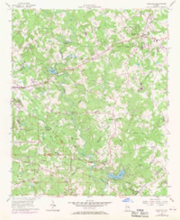
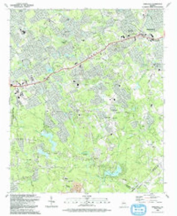
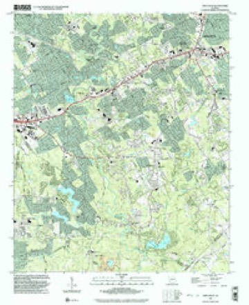
22 topographic sheets cover this place, the earliest surveyed in 1888 and the latest in 1999. It stands in the Snellville-Grayson census division. It lies in ZIP code area 30039. It stands on Do Little Creek. The Survey maps it on the Snellville quadrangle. It stands 925 feet above sea level.
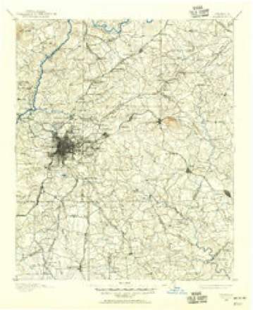
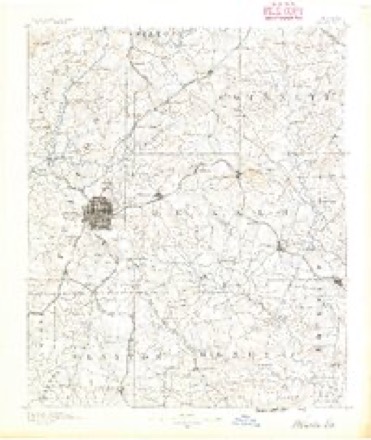
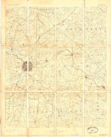
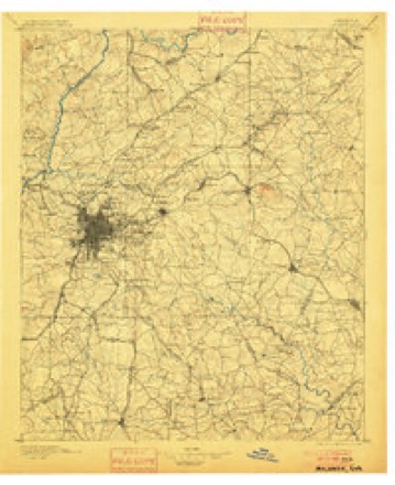
Topographic sheets covering this place
11 surveys from 22 printed sheetsMatched by testing this settlement's coordinate against the published boundary of every sheet in the United States Geological Survey's historical collection. Each opens the scanned sheet at the Survey.
- 1888 USGS Atlanta quadrangle1:125000
- 1890 USGS Atlanta quadrangle1:125000
- 1892 USGS Atlanta quadrangle1:125000
- 1895 USGS Atlanta quadrangle1:125000, 7 printings
- 1953 USGS Atlanta quadrangle1:250000, 2 printings
- 1956 USGS Snellville quadrangle1:24000, 5 printings
- 1957 USGS Atlanta quadrangle1:250000
- 1958 USGS Atlanta quadrangle1:250000
- 1981 USGS Atlanta quadrangle1:100000
- 1992 USGS Snellville quadrangle1:24000
- 1999 USGS Snellville quadrangle1:24000




Fires near this place
101 since 1992Regional context, not property-specific evidence. The federal wildfire occurrence database lists 101 fires within 5 miles of Centerville between 1992 and 2013, burning about 329 acres in total. 6 started naturally. 42 were recorded as arson. Distance is straight-line from the map coordinates, so a fire counted here may appear on a neighbouring settlement's page as well.
| Reported cause | Fires |
|---|---|
| Arson/incendiarism | 42 |
| Debris and open burning | 14 |
| Recreation and ceremony | 12 |
| Misuse of fire by a minor | 9 |
| Smoking | 7 |
| Missing data/not specified/undetermined | 7 |
| Natural | 6 |
| Equipment and vehicle use | 4 |
The most recent of them, most recent first, with the day each was reported and the service that recorded it.
| Date | Cause | Size | Reported by | Name on the report |
|---|---|---|---|---|
| 4 September 1999 | Smoking | under an acre | Georgia Forestry Commission | not named |
| 29 September 2001 | Recreation and ceremony | 1.3 acres | Georgia Forestry Commission | FY2002-DEKALB-001 |
| 2 September 1993 | Natural | under an acre | Georgia Forestry Commission | not named |
| 18 September 2007 | Missing data/not specified/undetermined | under an acre | Georgia Forestry Commission | not named |
| 12 September 2011 | Missing data/not specified/undetermined | 1.0 acres | Georgia Forestry Commission | FY2012-ROCKDALE-003 |
| 31 August 1993 | Arson/incendiarism | 3.9 acres | Georgia Forestry Commission | not named |
| 31 August 1993 | Arson/incendiarism | 2.3 acres | Georgia Forestry Commission | not named |
| 30 August 1997 | Recreation and ceremony | 1.3 acres | Georgia Forestry Commission | not named |
Settlements close enough to share some of these fires:
Mines and quarries near this place
2 within 5 milesRegional context, not property-specific evidence. The federal mineral resources record lists 2 workings within 5 miles of Centerville: 1 past producer, 1 producer. 1 still produces. What was taken out: Granite, Stone, Crushed/Broken. Distance is straight-line from the map coordinates, so a quarry counted here may appear on a neighbouring settlement's page as well.
| Where | Site | Commodity | Status | Recorded |
|---|---|---|---|---|
| Fowler's Quarry | Granite | Past Producer | ||
| Rock Chapel Quarry | Stone, Crushed/Broken | Producer |
Storms near this place
25 since 1995Regional context, not property-specific evidence. The National Weather Service names Centerville in 25 storm reports between 1995 and 2024: 15 thunderstorm wind, 7 hail, 3 lightning. The reports record 1 injury. Each account below is quoted exactly as the forecast office filed it, from the NOAA Storm Events Database, and each date opens the federal record of that event.
| When | Event | Place named | Harm | What the report says |
|---|---|---|---|---|
| July 2016 | Lightning | Centerville | 1 hurt | The Gwinnett County Office of Emergency Management reported a 12 year old girl was struck by lightning as she stood on the back porch of her home. The girl was transported to the hospital with what appeared to be minor injuries, mainly a headache and a tingling sensation. |
| July 2004 | Thunderstorm Wind | Centerville | $500,000 | The Gwinnett Daily Post of Lawrenceville reported that a home on Amy Road was literally destroyed when a large oak tree crashed through the house. The back third of the house was completely destroyed and the house would likely have to be demolished. A home next door was also heavily damaged when a tree fell through one of the bedroom walls. All together, at least five homes were heavily damaged in the Norris Lakes subdivision. The damage was confined to a small area and occurred with a short 5-minute period. It may well have been a microburst or downburst. |
| July 2022 | Lightning | Centerville | $50,000 | House fire on the 4300 block of Amy Road SW caused by lightning. |
| May 1999 | Lightning | Centerville | $10,000 | A newspaper reported fire due to lightning damaged a home on Lenora Road. |
| July 2019 | Thunderstorm Wind | Centerville | $8,000 | The Gwinnett County Emergency Manager reported several trees and power lines blown down, mainly between Lilburn and Snellville, south of Hwy 316. Isolated tree down reports were noted around Peachtree Corners. |
| July 2016 | Thunderstorm Wind | Centerville | $6,000 | The Gwinnett County Emergency Manager reported trees and power lines blown down on Ford Place. |
| April 2021 | Thunderstorm Wind | Centerville | $5,000 | The Gwinnett County Emergency Manager reported trees and power lines blown down between Centerville and Loganville from the 4000 block of Summer Place to the 2700 block of Lenora Road SW. |
| July 2019 | Thunderstorm Wind | Centerville | $2,000 | The Gwinnett County Emergency Manager reported power lines blown down around the intersection of Summer Wood Circle and Harms Way. |
| March 2002 | Thunderstorm Wind | Centerville | $2,000 | The public reported that two trees were blown down which damaged a fence. |
| August 2012 | Thunderstorm Wind | Centerville | $1,500 | The public reported several trees down south of Snellville. |
| February 2024 | Thunderstorm Wind | Centerville | $1,000 | Power lines damaged at the intersection of Xavier Ray Ct SW and Lenna Dr SW. |
| December 2024 | Thunderstorm Wind | Centerville | $1,000 | A power line was downed at the intersection of Annistown Rd and San Antonio Dr. |
| August 2023 | Thunderstorm Wind | Centerville | $1,000 | Tree down in roadway on Juhan Rd and Rockbridge Rd. |
| August 2023 | Thunderstorm Wind | Centerville | $1,000 | Tree down at Revere Cir se and Drum Roll Ln sw . |
| July 2017 | Thunderstorm Wind | Centerville | $1,000 | The Gwinnett County Emergency Manager reported a tree blown down on Zoar Church Road at Centerville Highway. |
| July 1999 | Thunderstorm Wind | Centerville | $1,000 | A spotter reported trees down and street flooding. |
| August 2024 | Thunderstorm Wind | Centerville | - | Tops of trees shorn off in backyard of residence near yellow river park in the 30087 zipcode of smoke rise. a few branches pierced through the wall of house. |
| August 2023 | Thunderstorm Wind | Centerville | - | Emergency manager reported powerlines down south of Lee Rd SW on Lake Dr SW at Amy Rd and Mink Livesy Rd near Bryant Dr. |
| February 2005 | Hail | Centerville | - | The public reported quarter-sized hail. |
| July 2004 | Hail | Centerville | - | The public reported nickel-sized hail. |
| March 2003 | Hail | Centerville | - | Numerous reports of penny to nickel size hail were received from the cities of Centerville, Snellville, and Grayson. One report of quarter size hail and another report of quarter to half-dollar size hail were received from Grayson. |
| May 2003 | Hail | Centerville | - | The public reported that quarter-sized hail fell for up to 10 minutes while a storm spotter reported nickel-sized hail. |
| March 2002 | Hail | Centerville | - | Several reports were received from the public of hail ranging in size from dime to quarter size. In one instance in the Centerville area, the ground was completely covered with hail which fell up to 3 minutes at one location. |
| July 2000 | Hail | Centerville | - | The public reported hail within a wide swath across southern Gwinnett county that stretched from the DeKalb county border west of Centerville to east of Centerville and north to Snellville. One report received from Snellville indicated that the hail lasted for 15 to 20 minutes. |
| June 1995 | Hail | Centerville | - | Off duty National Weather Service employee reported three-quarter inch hail two and one-half miles north of county line near Centerville. |
Nearest settlements
The eight closest, with where each one stands in the county. Distances are straight-line, computed from the Geographic Names Information System coordinates.
| Map | Place | Distance | Sheets |
|---|---|---|---|
| Mason Woods | 0.3 miles | 22 | |
| Monterey Acres | 0.5 miles | 22 | |
| Laurel Creek | 0.6 miles | 22 | |
| Lochwolde | 1.1 miles | 22 | |
| Twin Village | 1.1 miles | 22 | |
| Quinn Ridge | 1.3 miles | 22 | |
| Brandington Forest | 1.4 miles | 22 | |
| Mountain Cove | 1.4 miles | 22 |
Elsewhere
Matched on this settlement's Geographic Names Information System number rather than its name, so it cannot be a different place of the same name in another state.
| Wikipedia article on Centerville | An encyclopaedic summary. Its text is share-alike, so it is linked here rather than copied. |
| Wikidata item Q5060088 | The structured record the population and elevation above come from. Public domain (CC0). |
Provenance
This settlement is recorded in the Geographic Names Information System as feature 312513. The sheet list is computed by point-in-boundary test against the United States Geological Survey's historical topographic inventory. Both are works of the United States government and carry no copyright under 17 U.S.C. 105.
Wildfire. Short, Karen C. 2022. Spatial wildfire occurrence data for the United States, 1992-2020 [FPA_FOD_20221014]. 6th Edition. Fort Collins, CO: Forest Service Research Data Archive. https://doi.org/10.2737/RDS-2013-0009.6 Collected with United States Government funding and usable without additional permissions or fees.
Mines and quarries. USGS Mineral Resources Data System (MRDS) https://mrdata.usgs.gov/mrds/ A work of the United States government, no copyright under 17 U.S.C. 105.
Storms. NOAA National Centers for Environmental Information, Storm Events Database https://www.ncei.noaa.gov/stormevents/ A work of the United States government, no copyright under 17 U.S.C. 105. Narratives are quoted verbatim from the National Weather Service report and are not edited or summarised.