 Block
From the record
18 National Register listings published here.
Sources: the National Register database, National Park Service
129 topographic sheets and 7 fire insurance atlases across 3 places.
18 National Register listings published here.
Sources: the National Register database, National Park Service
Taken for the Office of War Information and the Farm Security Administration, who photographed the country between 1935 and 1944. Works of United States government photographers, with no known restriction on use. Each opens its catalogue record.
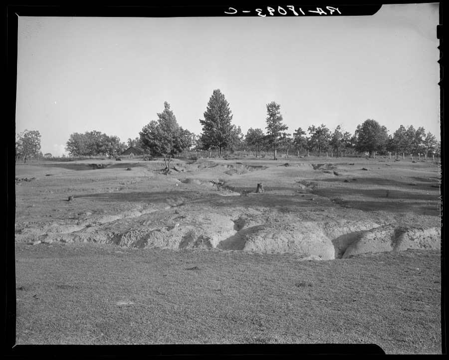
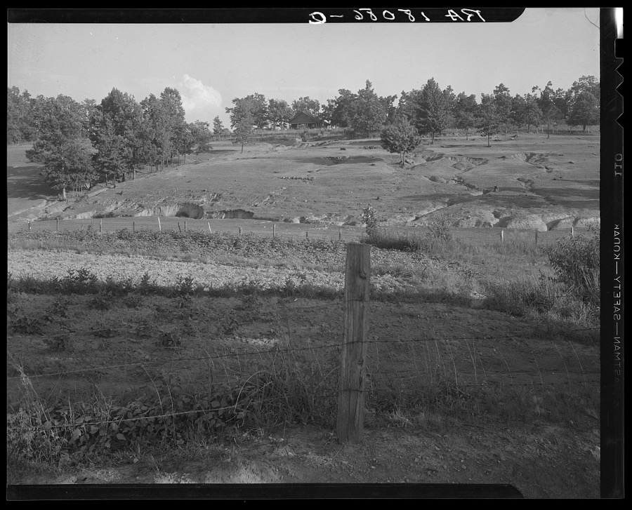
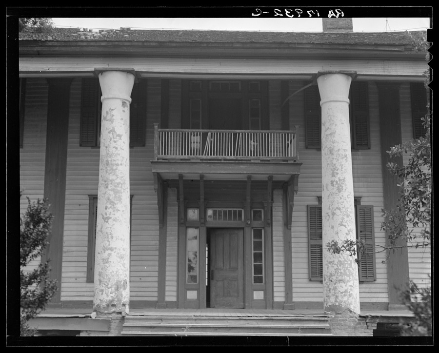
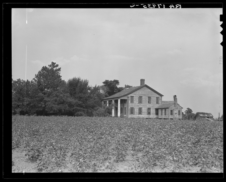
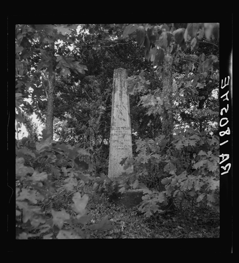
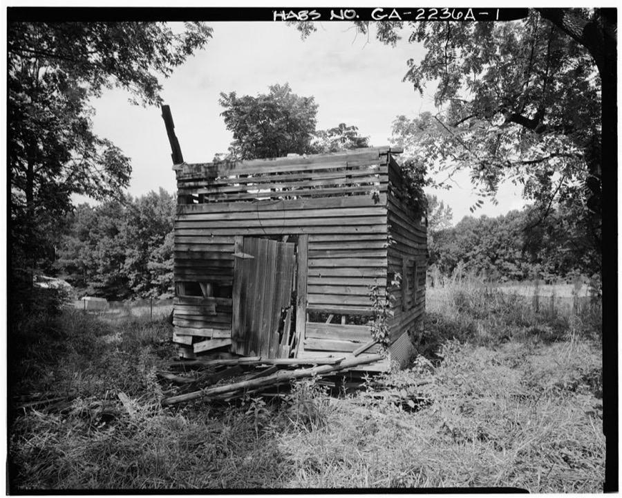
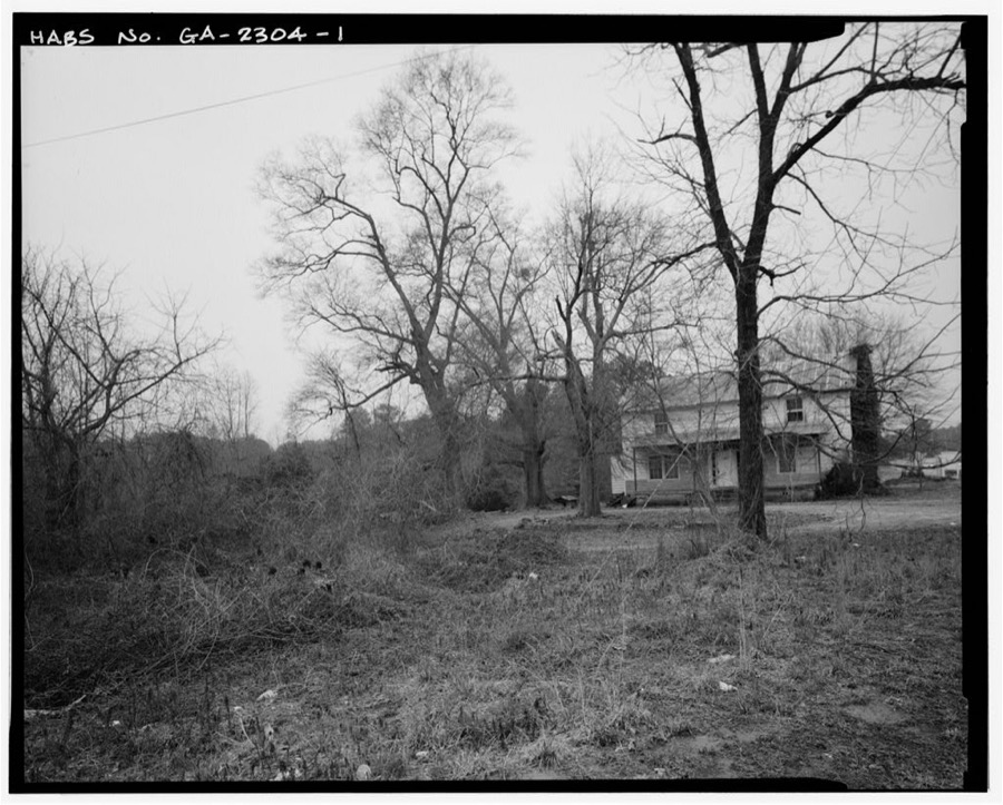
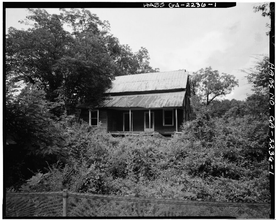
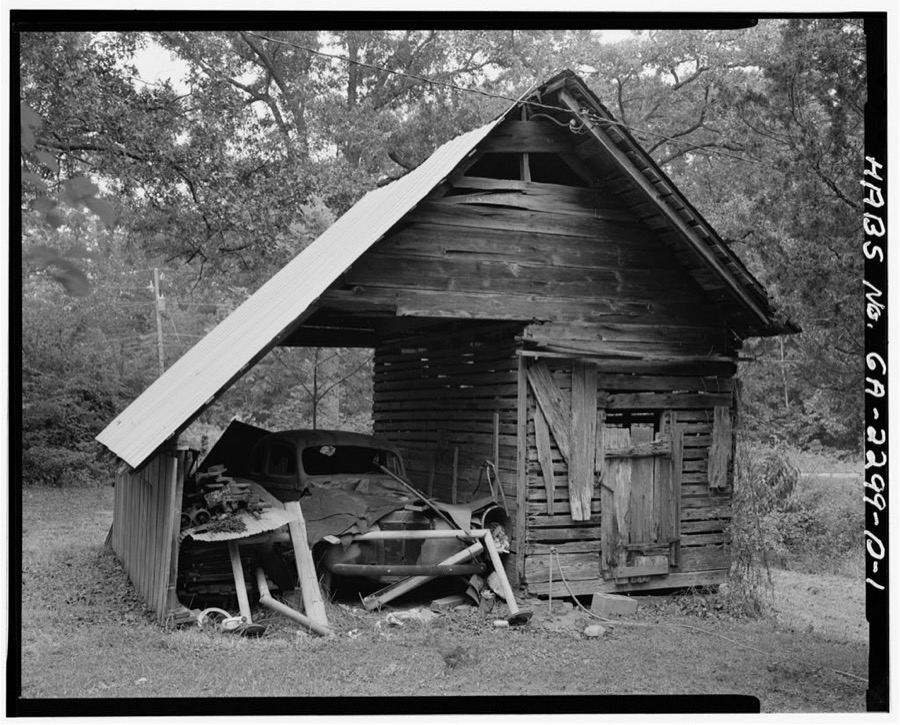
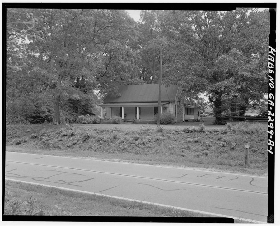
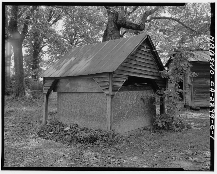
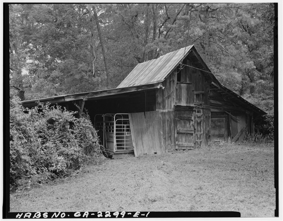
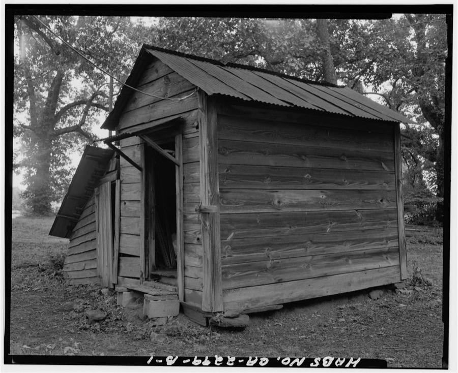
Every property in this county listed on the National Register of Historic Places, with the year it was listed and the federal nomination document.
| Photograph | Property | Type | Listed | Reference |
|---|---|---|---|---|
| Isaac Adair House | building | 2000 | 00001390 | |
 | Alcovy Road Grist Mill | district | 1998 | 98000885 |
 | Bona Allen House | building | 1983 | 83000231 |
 | John Quincy Allen House | building | 1984 | 84001109 |
 | Bona Allen Shoe and Horse Collar Factory | building | 2005 | 04001138 |
| Buford Public School Auditorium | building | 2009 | 09000586 | |
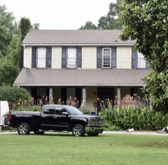 | Robert Craig Plantation | district | 1990 | 90000805 |
 | Gwinnett County Courthouse | building | 1980 | 80001084 |
| Hudson-Nash House and Cemetery | district | 1990 | 89002264 | |
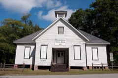 | Mechanicsville School | building | 1980 | 80001085 |
| Norcross Historic District | district | 1980 | 80001086 | |
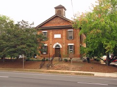 | Old Seminary Building | building | 1970 | 70000206 |
 | Superb, The | structure | 1999 | 98001560 |
| Suwanee Historic District | district | 2013 | 13000966 | |
| William Terrell Homeplace | building | 1982 | 82002423 | |
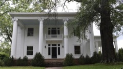 | Clarence R. Ware House | building | 1982 | 82002424 |
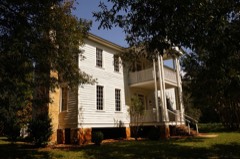 | Elisha Winn House | building | 1979 | 79000728 |
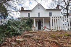 | Thomas Wynne House | building | 1977 | 77000436 |
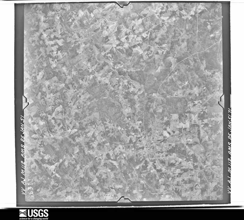
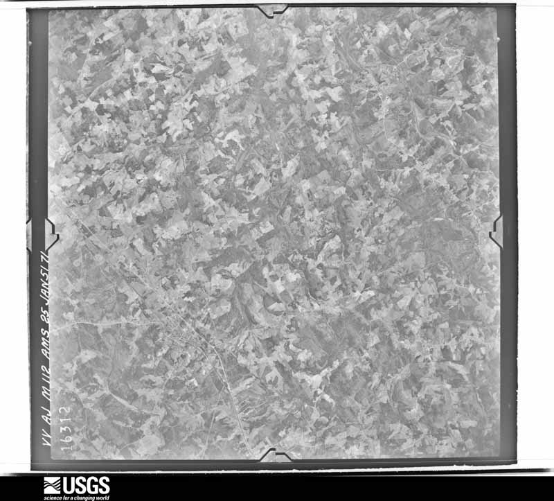
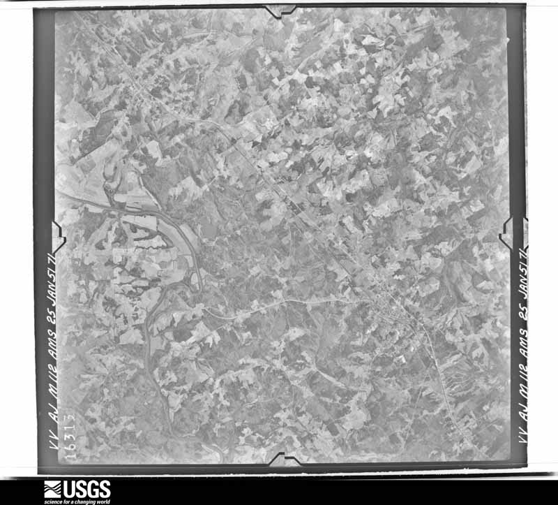
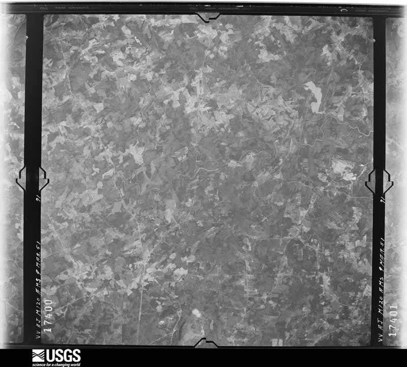
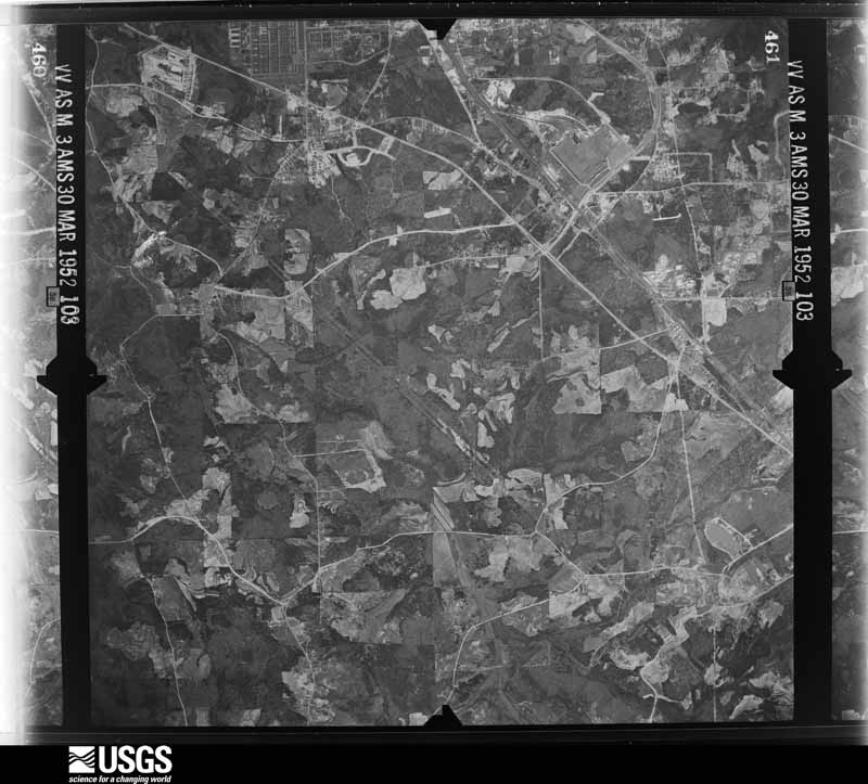
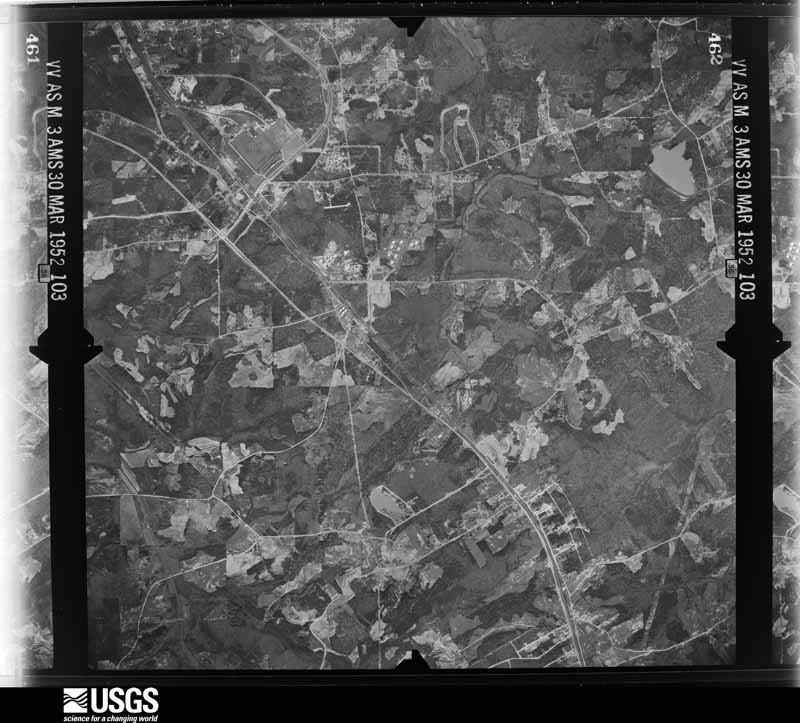
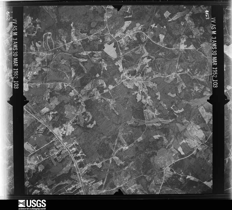
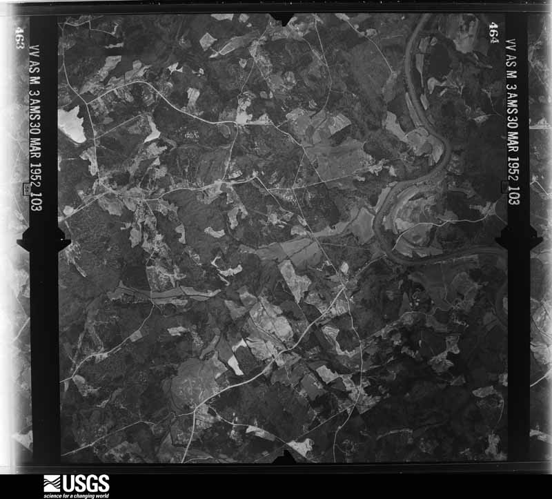
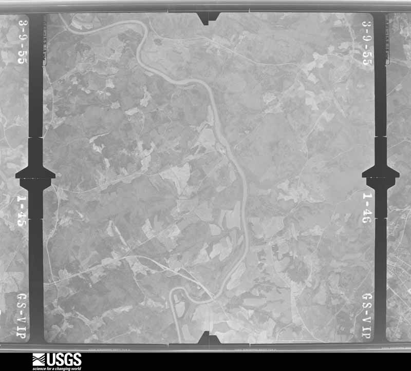
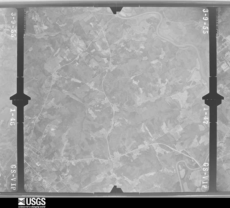
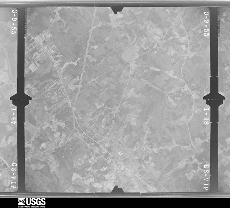
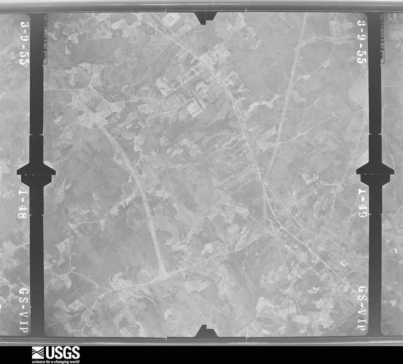
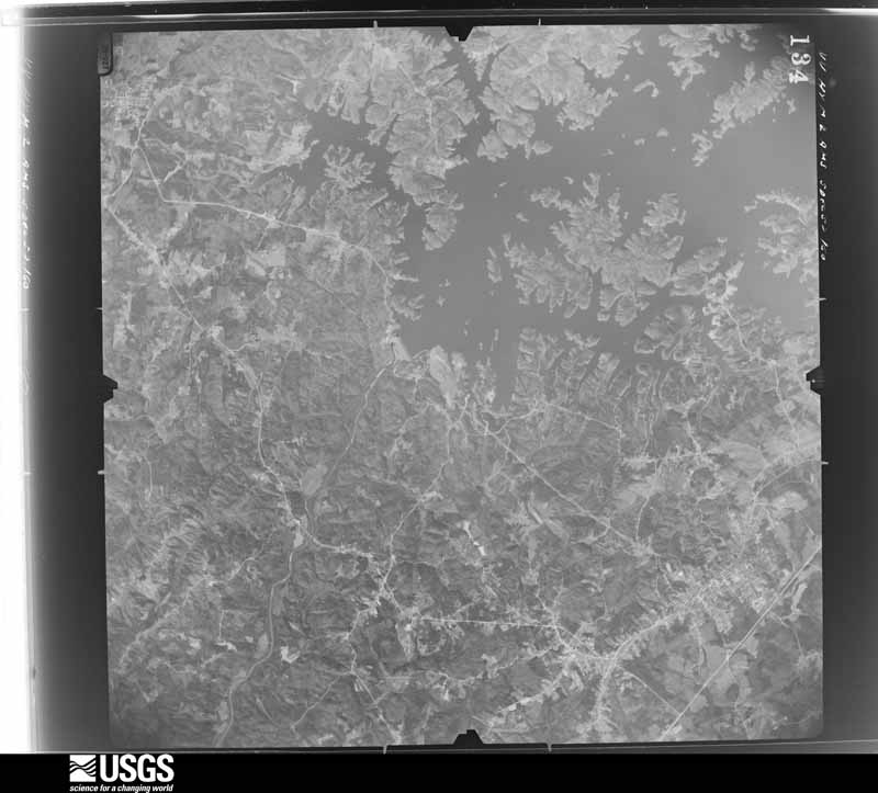
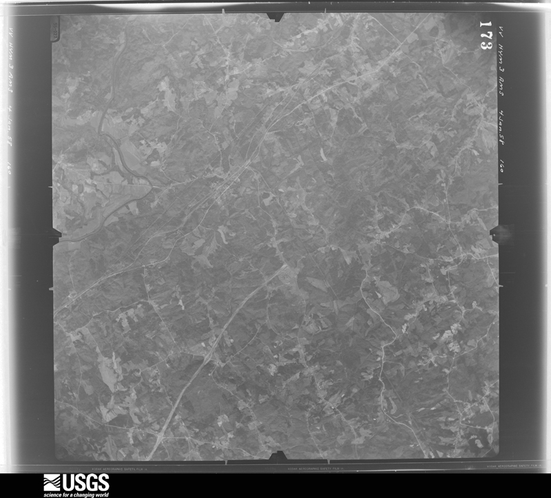
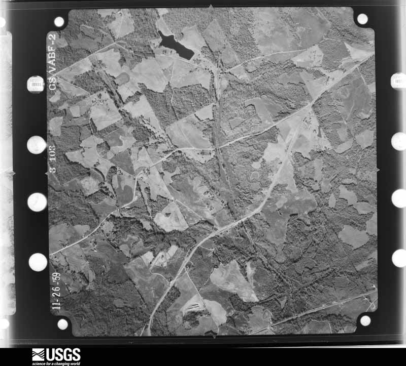
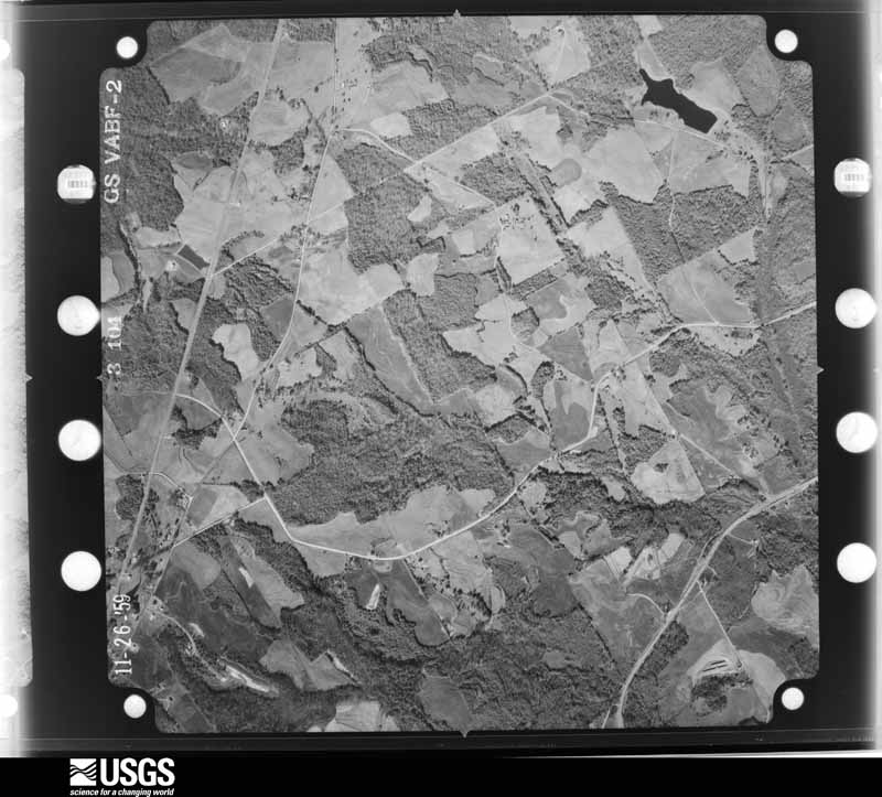
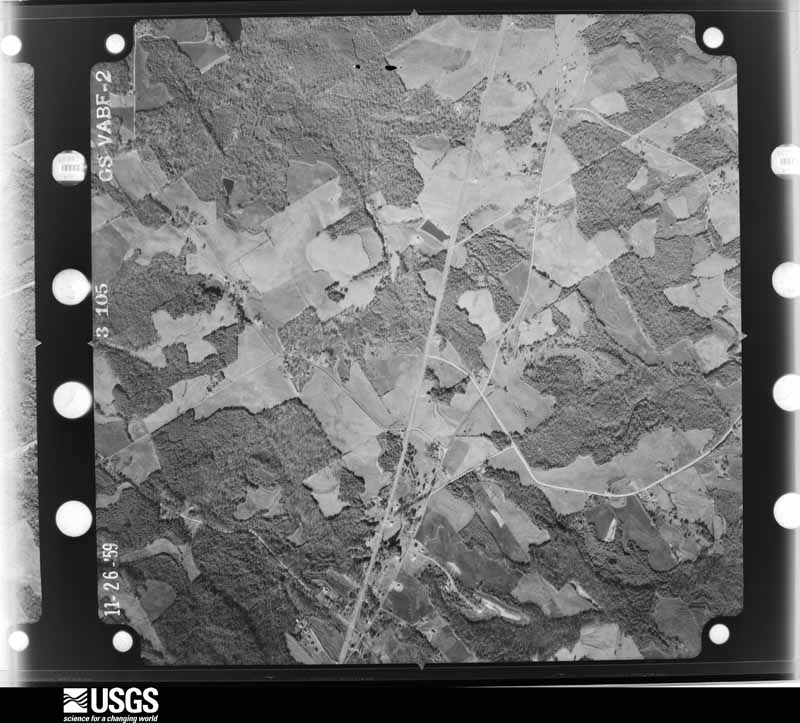
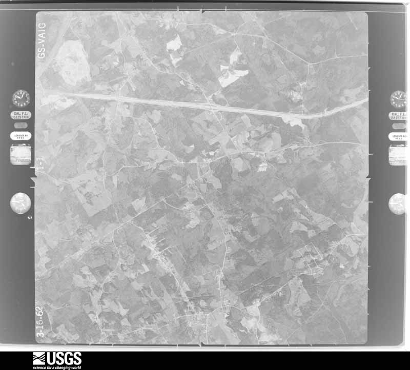
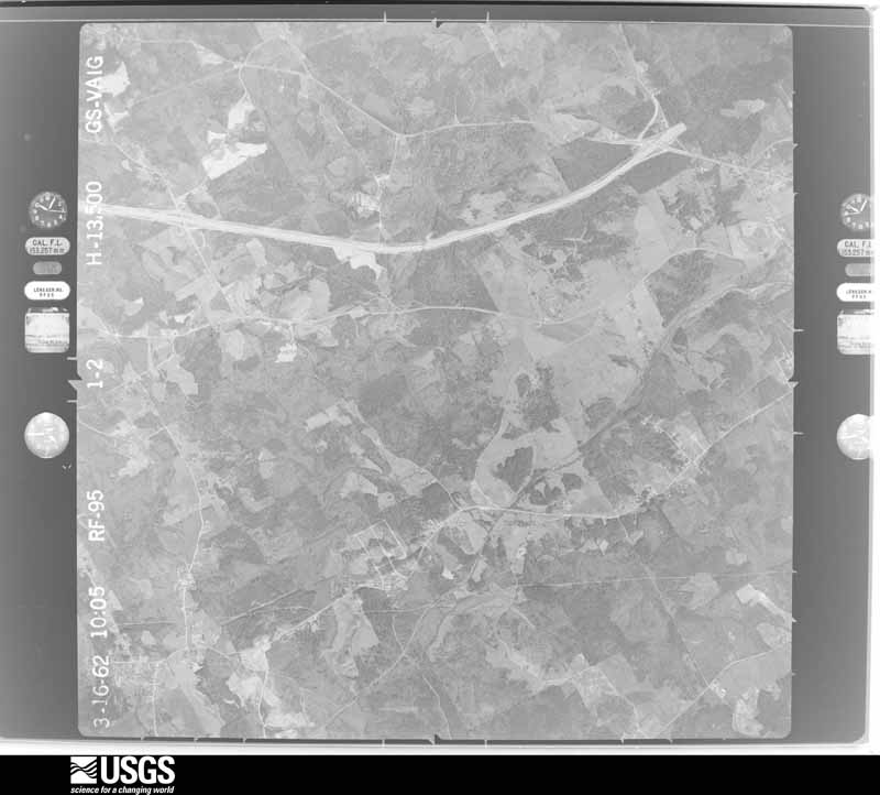
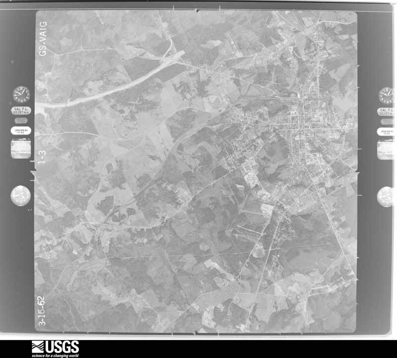
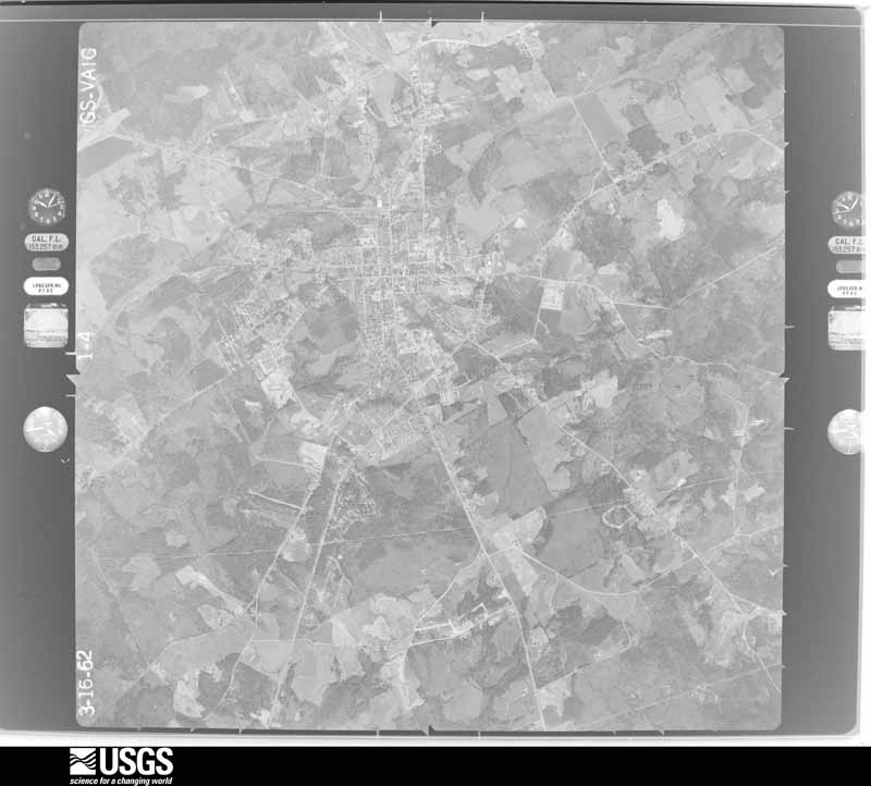
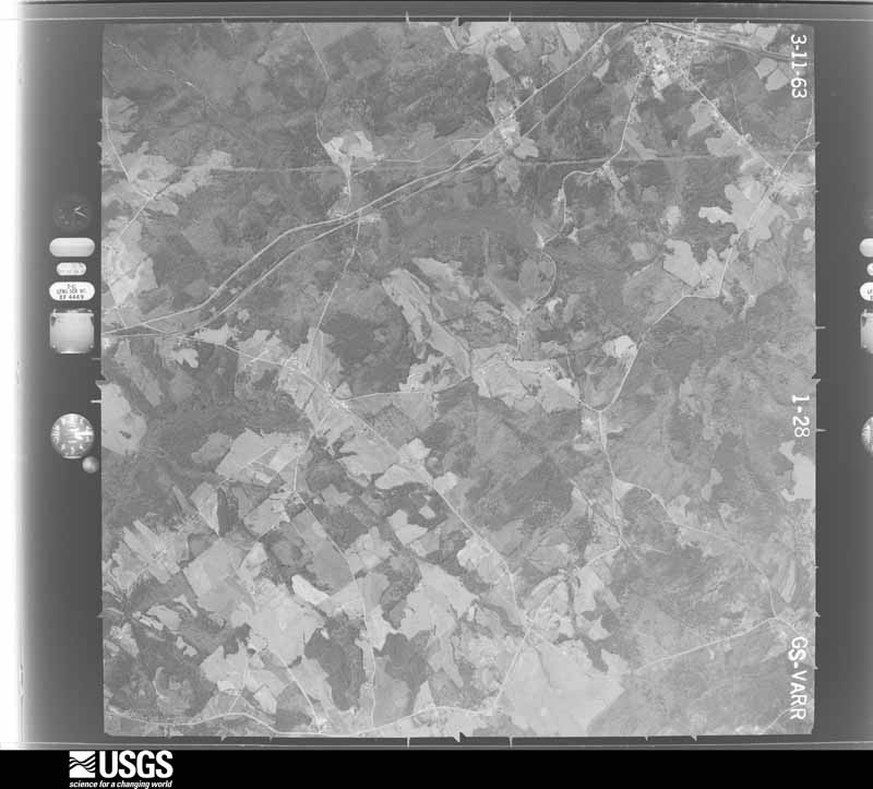
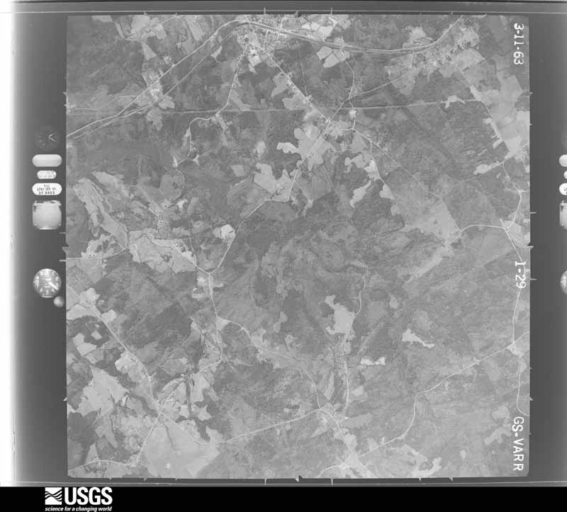
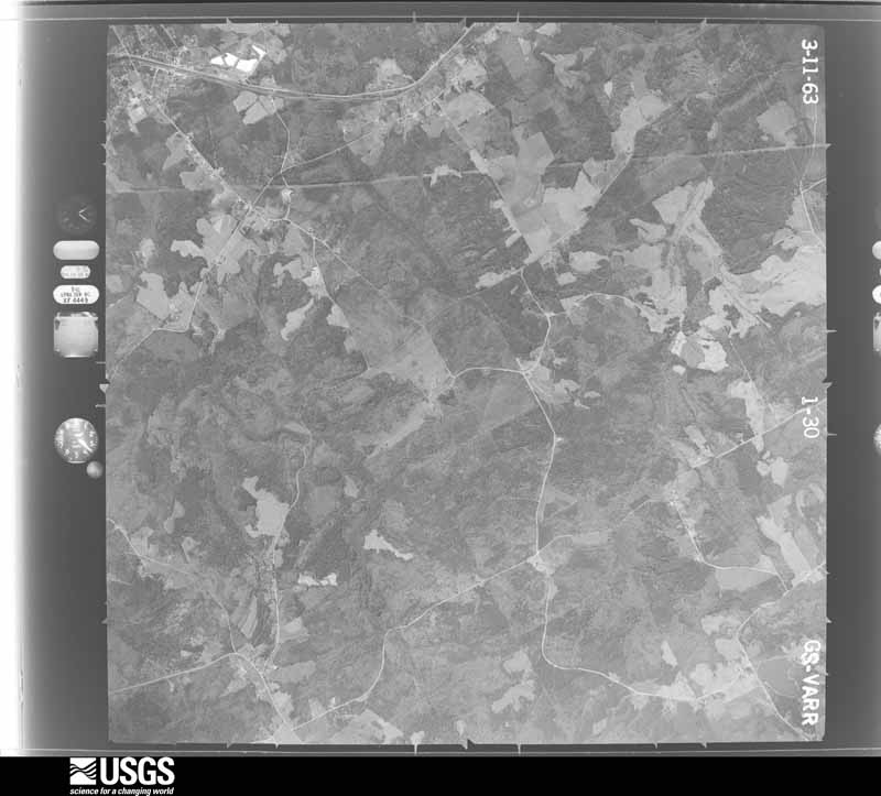
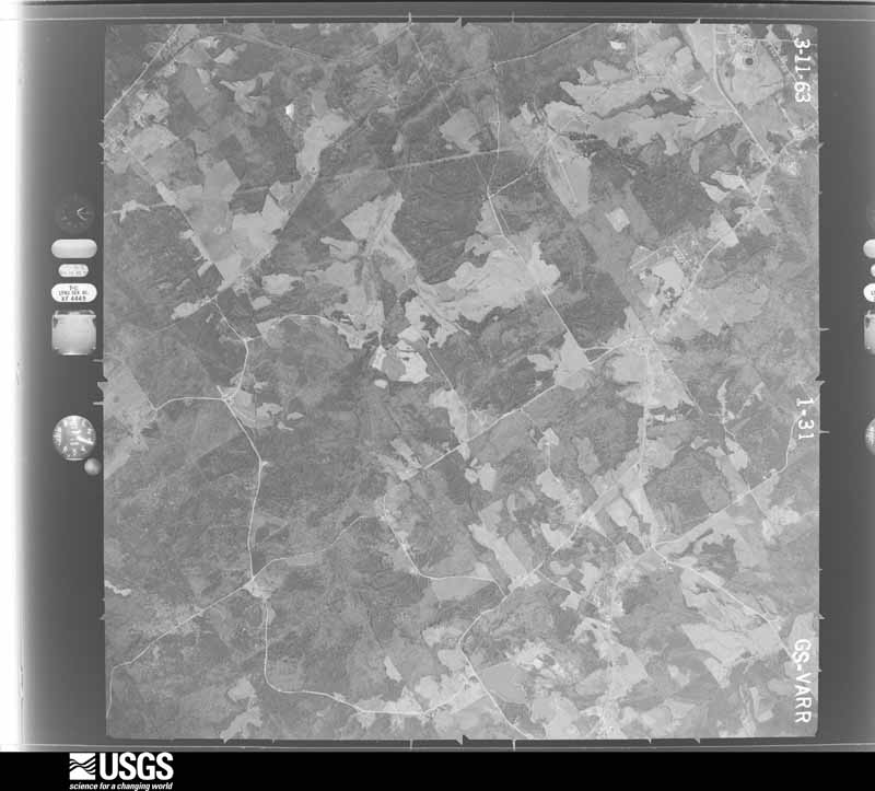
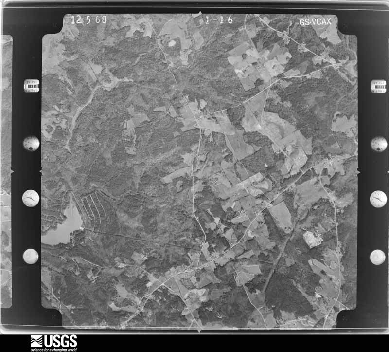
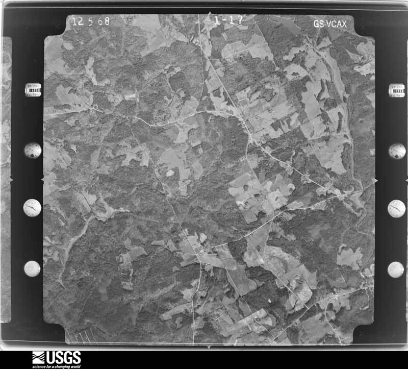
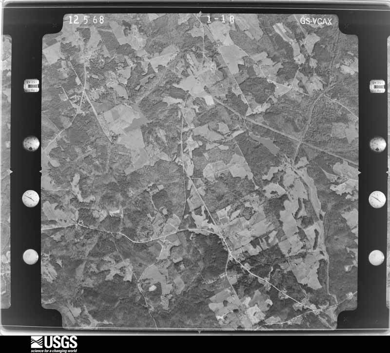
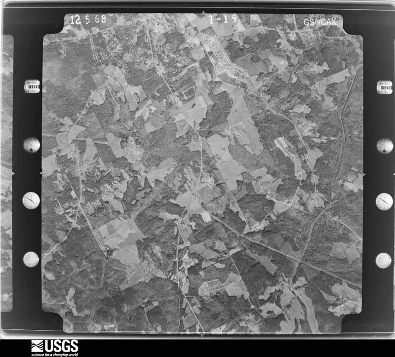
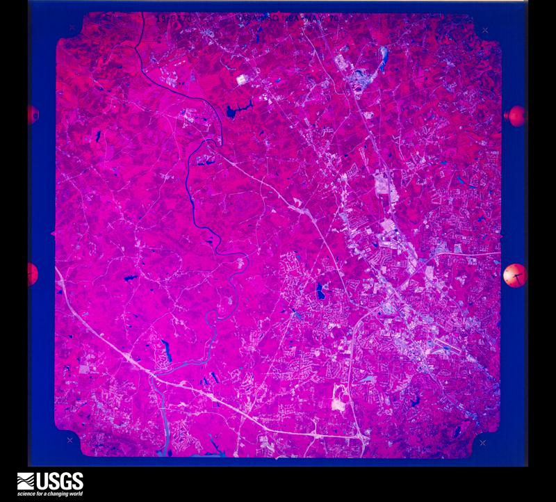
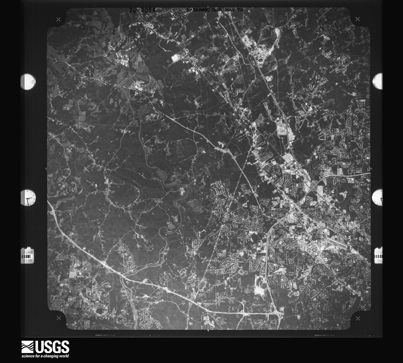
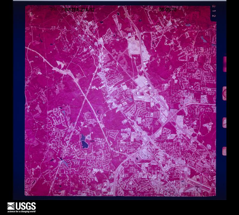
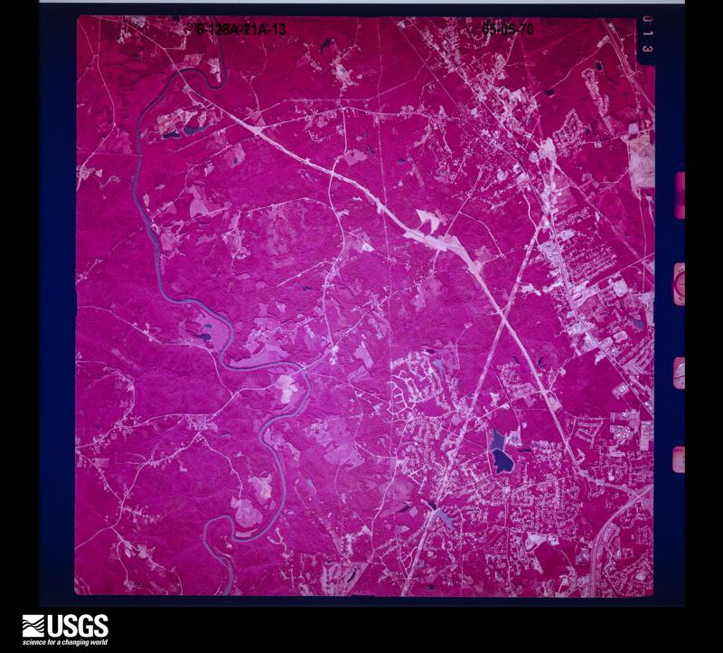
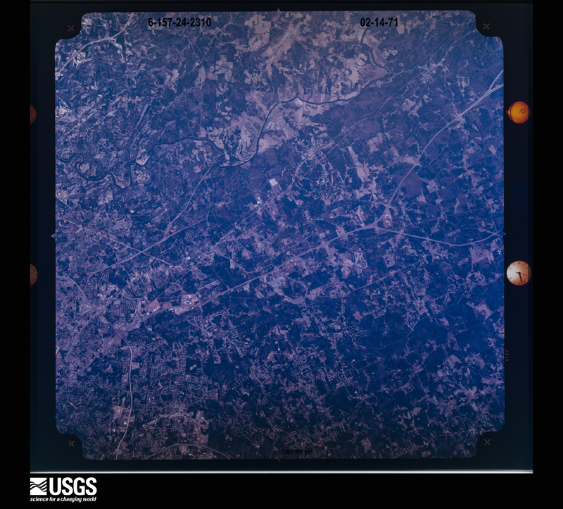
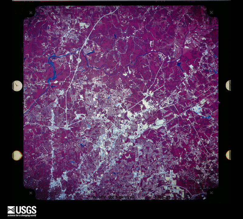
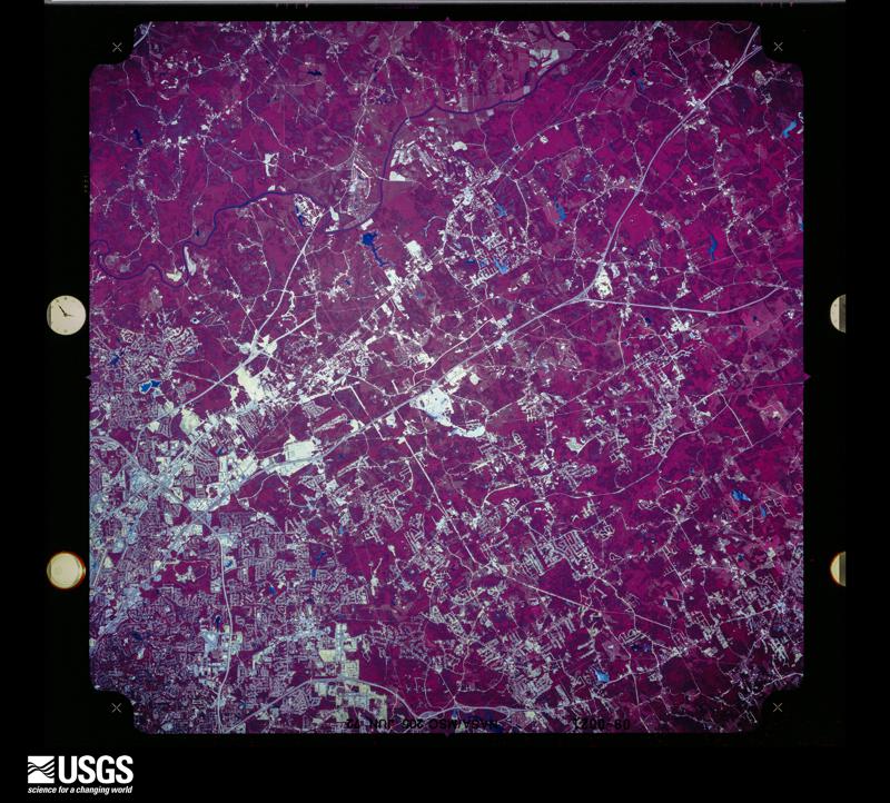
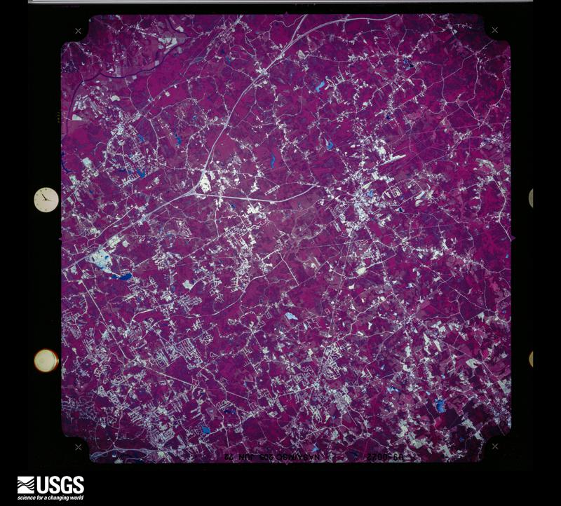
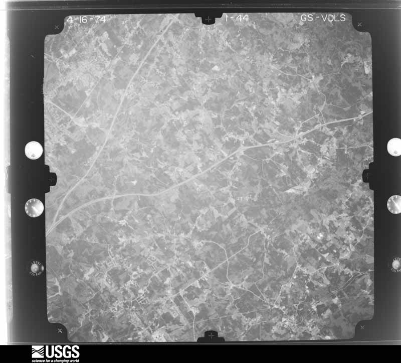
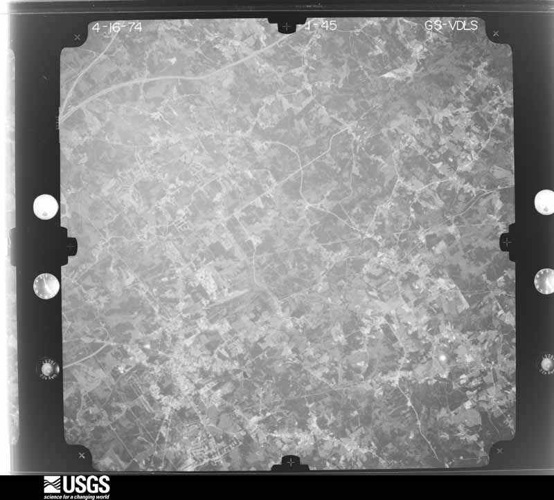
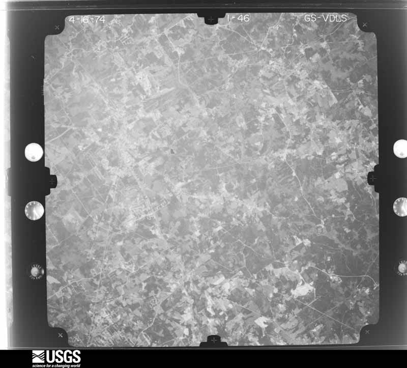
Flown by the U.S. Geological Survey between 1937 and 1989, the Aerial Photo Single Frames collection is the definitive mid-century view of the land: fields, roads and rivers as the camera saw them. The Survey holds 2,531 frames inside the rectangle that bounds this county; the 48 frames below were taken over the county itself, chosen across the decades of flights (at most four a year from that rectangle), so one flight cannot crowd out the rest. The full set is free to browse and download at EarthExplorer under the dataset Aerial Photo Single Frames.
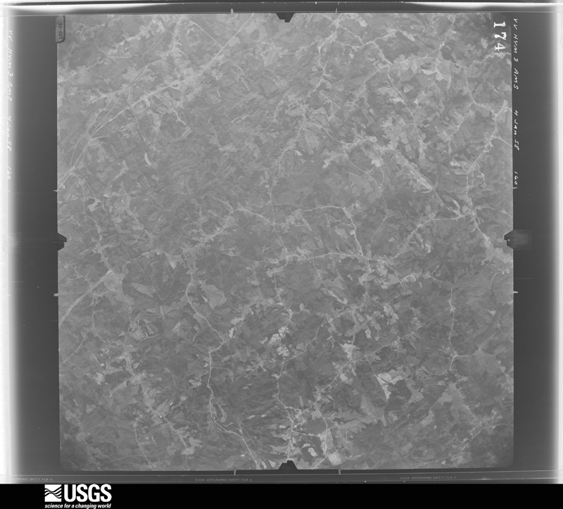
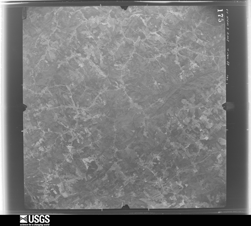
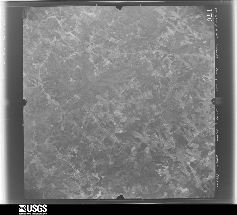
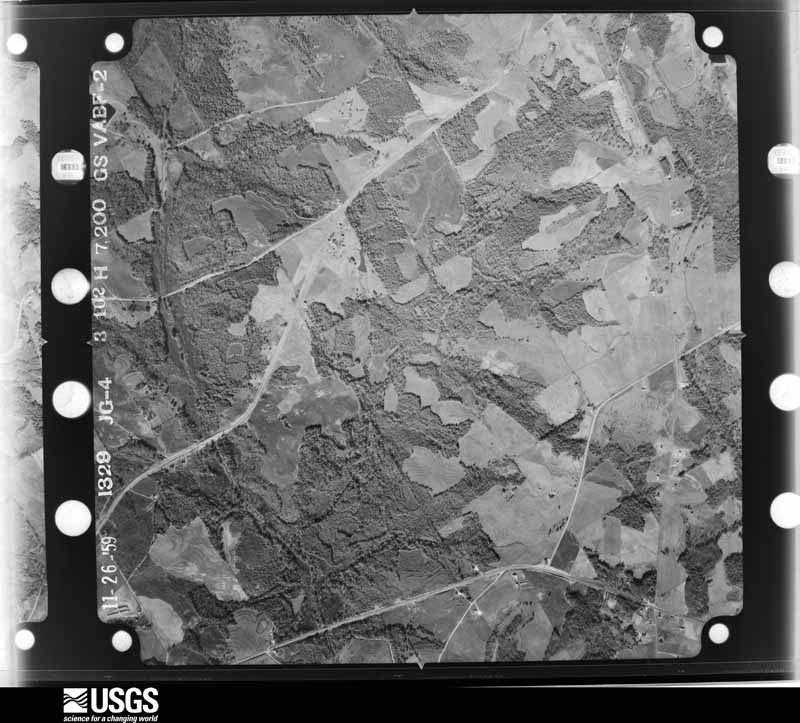




The thermometers that kept this county's weather, and the gages that measured the flow of its streams, as the federal records hold them. The extremes below are measured values from those records, not estimates.
Who lived here in 1950, one enumeration district at a time, as the Census Bureau described each district. Each row opens its official National Archives result, with Population Schedules and ED Maps available there.
Every wildfire the federal occurrence database records inside this county: 515 of them, burning about 1,732 acres. 12 started naturally and 191 were recorded as arson. Each settlement page carries the fires within five miles of it.
| Reported cause | Fires |
|---|---|
| Arson/incendiarism | 191 |
| Debris and open burning | 145 |
| Misuse of fire by a minor | 58 |
| Recreation and ceremony | 39 |
| Missing data/not specified/undetermined | 23 |
| Equipment and vehicle use | 21 |
| Smoking | 20 |
| Natural | 12 |
| Railroad operations and maintenance | 6 |
The five largest, by the area the report gives. Three of them were set deliberately.
| Date | Cause | Size | Reported by | Name on the report |
|---|---|---|---|---|
| 4 March 1994 | Equipment and vehicle use | 34 acres | Georgia Forestry Commission | not named |
| 21 March 1995 | Arson/incendiarism | 28 acres | Georgia Forestry Commission | not named |
| 26 March 1995 | Arson/incendiarism | 27 acres | Georgia Forestry Commission | not named |
| 9 April 1999 | Debris and open burning | 25 acres | Georgia Forestry Commission | not named |
| 8 July 2000 | Arson/incendiarism | 24 acres | Georgia Forestry Commission | FY2001-GWINNETT-001 |
| 28 January 2001 | Misuse of fire by a minor | 23 acres | Georgia Forestry Commission | FY2001-GWINNETT-007 |
| 25 February 2002 | Debris and open burning | 23 acres | Georgia Forestry Commission | FY2002-GWINNETT-029 |
| 30 July 2000 | Misuse of fire by a minor | 22 acres | Georgia Forestry Commission | FY2001-GWINNETT-004 |
Every settlement page carries the fires within five miles of it - see the settlement index below.
The NOAA Storm Events Database holds 717 reports for this county, causing 8 deaths, 47 injuries and about $151,005,550 in recorded property damage. Each settlement page carries the reports that name it.
| Kind of event | Reports |
|---|---|
| Thunderstorm Wind | 327 |
| Hail | 190 |
| Lightning | 129 |
| Flash Flood | 31 |
| Tornado | 12 |
| Flood | 12 |
| Heavy Rain | 12 |
| Funnel Cloud | 4 |
The most serious of them, by death, then injury, then recorded damage. The accounts are quoted exactly as the forecast office filed them.
| When | Event | Place named | Harm | What the report says |
|---|---|---|---|---|
| June 2004 | Lightning | Sugar Hill | 3 killed, 6 hurt, $50,000 | Several Atlanta news media television stations, along with the Atlanta Journal-Constitution reported that three individuals were killed and six were injured at Buford Dam State Park at the south end of Lake Lanier when lightning strikes hit one or more trees under which the individuals were seeking refuge during a strong thunderstorm. The individuals were standing under a tree-lined parkway connecting a parking lot to a beach at the park. Two males, ages 20 and 29, and one female, age 44, were instantly killed by the lightning strike. Six others with the group were injured. The incident occurred at 318 pm EDT. This was not the only lightning related incident in the county, however. Four homes in the county were struck by lightning and set on fire. The fires were contained quickly and damage was minimal. |
| September 1997 | Lightning | Lilburn | 1 killed, 1 hurt | Lightning struck two men as they were roofing a new home. A 17 year old male was injured and a29 yer old male died the next day. |
| June 1994 | Tornado (F2) | Grayson | 1 killed, $5,000,000 | A tornado touched down near Georgia Highway 124, four miles west of Grayson then moved east and tore into the Williums Acres subdivisions near Grayson. Five large homes were destroyed, 20 homes received major damage while another 34 had minor damage inflicted. One large two-story brick home (5300 square feet) took a direct hit in the Greystone subdivision and was reduced to rubble. The only known fatality occurred in the lower bedroom ,of this structure. The tornado threw the second story of the ,house 50 feet off the foundation while the first floor disin,tegrated. Ironically, upon inspection of the dislodged second floor of the home, stuffed animals remained intact and undisturbed on a bedroom window sill. Most of the homes that suffered major or complete damage in the Greystone subdivision were in a clear-cut zone. Those homes that were in wooded areas received the least amount of damage. At Pinehurst Trace road near the Grayson subdivision, another home was lifted and blown across the road were it broke in half. Most of the damage was concentrated near Georgia Highway 84, one mile southwest of Grayson and along Ozora Church Road, two miles southeast of Grayson. Damage estimates to property from this tornado was estimated at nearly 1 million dollars. (F10P) |
| September 2009 | Flash Flood | Norcross | 1 killed, $630,000 | Catastrophic flash flooding began to unfold across portions of Gwinnett county during the early morning hours of the 21st as a secondary area of very heavy rain and thunderstorms began to expand across the eastern Atlanta metropolitan counties. Rainfall exceeded 12 inches in portions of the county during the night and early morning hours. USGS stream gages verified that significant flooding was underway. Crooked Creek at Norcross exceeded its flood stage of 11 feet at 306 am EDT. Pew Creek near Lawrenceville reached its flood stage of 11 feet at 418 am EDT. Many roads became flooded and impassable as they were submerged by several feet of water in some areas. A 39-year old female lost her life as her vehicle was washed off Desiree Drive and she was carried away in the flood waters of a small tributary feeding into the Yellow River. Many homes, apartments, businesses and roads from Norcross to Lawrenceville to Lilburn were flooded during this time frame. Monetary damage to roads and property during this period was estimated to exceed $600,000. |
| July 2003 | Lightning | Snellville | 1 killed | The Atlanta Journal-Constitution reported that a 27-year old male was struck by lightning while mowing a lawn. The thunderstorm was not directly over the location at the time, but was nearby in Lawrenceville. The young man was pronounced dead on arrival at a local medical center. |
| February 1990 | Thunderstorm Wind | not stated | 1 killed | no account filed |
| April 1998 | Tornado (F2) | Norcross | 10 hurt, $50,000,000 | Significant widespread damage continued into Gwinnett county in a path from Norcross through Duluth and Suwanee to north of Lawrenceville. Large trees were knocked down or snapped. Many of them fell on homes and apartments causing damage. Roofs were torn off of houses. At least 5000 homes were affected. Ten people at an apartment complex were treated for minor injuries. |
| November 1984 | Tornado (F2) | not stated | 8 hurt, $2,500,000 | no account filed |
| May 2004 | Thunderstorm Wind | Norcross | 3 hurt | The Gwinnett Daily-Post of Lawrenceville reported that three people were injured at Thrasher Park when a dead tree was blown over onto them by wind gusts associated with a thunderstorm. |
| November 1984 | Thunderstorm Wind | not stated | 3 hurt | no account filed |
| September 2000 | Lightning | Countywide | 2 hurt, $625,000 | The Atlanta Journal and Constitution, along with the Gwinnett Daily Post, reported that lightning struck 19 homes, 2 apartments, an office park, and sparked several grass fires across the county. The office park, located in Lilburn on Beaver Ruin Road, sustained minor damage when the attic was set on fire. Of the 19 homes struck, significant damage was done to one on Cold Springs Drive in Lilburn. The entire attic of the home was engulfed in flames when the firefighters arrived. There were also two lightning related injuries in the county. A 41-year old female was injured while pumping gas at a Texaco station on Five Forks Trickum Road. She was barely able to move her arm for some time thereafter. A 14-year old girl was injured when lightning struck the metal rail on which she was leaning. Immediately, her hands and feet tingled and her head hurt. However, neither of the injuries was reported to be serious as the lightning strikes appeared to be secondary. The fire department reported that they received 97 lightning strike related calls during the 3 1/2 hours of thunderstorm activity. |
| July 2003 | Thunderstorm Wind | Suwanee | 2 hurt, $75,000 | The Gwinnett county SkyWarn network, along with county 911 center and the public reported that a number of trees and tree limbs were blown down from Suwanee, to Lawrenceville, to Snellville. The Lawrenceville area appeared to be among the hardest hit areas. One home was damaged in Suwanee and several power lines were blown down around Lawrenceville. The Forsyth County News reported that a very large tree fell on a home in Barrett Downs and that numerous trees and power lines were down in the area. The newspaper also reported that trees fell on and injured two people, but no fatalities were reported. Tree debris, mailboxes, and garbage cans were found on some streets following the storm. |
| May 2003 | Lightning | Countywide | 1 hurt, $250,000 | The Gwinnett-Daily Post and the public reported that lightning strikes caused a number of problems around the county. In Lawrenceville, a 24-year-old female was struck and injured by lightning. In Loganville, a home was struck by lightning. The attic and the garage were set on fire causing the house to suffer significant damage. In Norcross, the Ashley Run apartment complex suffered moderate damage when they were set on fire by lightning. Finally, the public reported in Grayson that a tree was struck by lightning, causing the tree to fall. |
| June 2018 | Thunderstorm Wind | Luxomni | 1 hurt, $100,000 | The local broadcast media reported a tree blown down onto an apartment building in Lawrenceville. Significant damage occurred to the apartment block and one minor injury was reported. |
| November 2004 | Thunderstorm Wind | Lawrenceville | 1 hurt, $100,000 | The Gwinnett County Emergency Management Director reported that a number of trees and several power lines were down from Lawrenceville to Snellville. Two homes suffered significant damage when large trees fell on the structures. A large hardwood tree fell through a home in Lawrenceville. A woman inside was injured when falling debris struck her in the head. A Chevy Impala and a pickup truck in the driveway were also damaged. Another tree fell on a house in Snellville, causing significant damage to that home as well. Two cars in the garage of that home were also damaged. Around 300 residents in the county were left without power for several hours following the storms. |
| July 2010 | Thunderstorm Wind | Lilburn | 1 hurt, $25,000 | The Gwinnett County 911 Center reported that several power lines were down near Rockbridge Road and Lawrenceville Highway near Lilburn. A large tree fell on a vehicle at the entrance to the Idlewylde Apartments on Boggs Road in Duluth. The adult male inside was pinned in the vehicle and had to be extricated by fire officials. Two power lines were also down on South Old Peachtree Road just east-northeast of Duluth. At least one tree was also down on Princess South, just northeast of Lilburn. |
| July 2008 | Thunderstorm Wind | Lawrenceville | 1 hurt, $25,000 | The Gwinnett Daily Post of Lawrenceville reported that a tree fell on a home in the 850 block of Chandler Road as a result of a downburst associated with a thunderstorm. A woman inside was injured and treated at the scene by paramedics. |
| March 2021 | Thunderstorm Wind | Luxomni | 1 hurt, $12,000 | The Gwinnett County Emergency Manager reported trees blown down, including one onto a home and one onto powerlines, from Harvard Drive NW in Lilburn to Mirandy Way and Granada Place NW near Pleasant Hill. |
| August 2005 | Thunderstorm Wind | Countywide | 1 hurt, $5,000 | The Gwinnett County Emergency Management Director reported several isolated incidents of downed trees and power lines. A tree was blown down on Pleasant Lake Village Lane at the Saratoga Springs Apartments in Duluth. A female nearby was injured when the tree limbs knocked her to the ground. The fallen tree also caused damage to an nearby vehicle. Another tree fell on Sycamore Road, also in Duluth, bringing down power lines and blocking the road. Power lines were also brought down on Old Peachtree Road at Bunten Road in Duluth and Ewing Chapel Road in Dacula. No damage was reported to structures at any of these locations. |
| August 2023 | Thunderstorm Wind | Suwanee | 1 hurt | A portion of a tree fell on a person resulting in minor injuries near the 300 block of Gaines Oak Way. Additional trees reported down on Suwanee Dam Road, nearby. |
| July 2016 | Lightning | Centerville | 1 hurt | The Gwinnett County Office of Emergency Management reported a 12 year old girl was struck by lightning as she stood on the back porch of her home. The girl was transported to the hospital with what appeared to be minor injuries, mainly a headache and a tingling sensation. |
| July 2009 | Lightning | Rosebud | 1 hurt | The Gwinnett Daily Post reported that a woman, at her residence on the Gwinnett county side of Loganville, was injured by a nearby lightning strike. She was just stepping off the back porch of her home in the 4000 block of Beaverton Circle when lightning struck a nearby tree. She was treated and released from the hospital with non-life threatening injuries. |
| August 2009 | Lightning | Pittman | 1 hurt | Fox 5 TV of Atlanta relayed a report from the Gwinnett County Fire and Rescue Department of a lightning-related injury to a 15-year old female. The teenage female was injured by a nearby lightning strike in the 200 block of Club Lakes Parkway of Lawrenceville. The young female suffered numbness to her back and legs as a result of the lightning strike. She was transported to a local medical facility, then treated and released. |
| July 2008 | Lightning | Dacula | 1 hurt | The Gwinnett Daily Post of Lawrenceville reported that a woman was struck by lightning while at outside in Dacula Park during an afternoon thunderstorm. She was transported to the hospital in Lawrenceville and treated for injuries. |
| September 2009 | Flood | Buford | $12,500,000 | Record flooding continued to expand eastern the eastern suburbs of the Atlanta metropolitan area as renewed rounds of showers and thunderstorms with very heavy rain tracked repeatedly over the same areas throughout the day. Portions of hundreds of roads in the county were closed from flooding and washed out bridges and/or culverts. Hundreds of homes, apartments, and businesses sustained significant flood damage. Record flooding was occurring on Suwanee Creek near Suwanee. Some of the most significant flooding occurred in the Stone Mountain area on U.S. Highway 78 from the DeKalb county line to Ross Road. Monetary damage to property and roads during this time frame across Gwinnett county was estimated to be near $12.5 million. |
| September 2009 | Flood | Buford | $5,630,000 | Gwinnett county emergency management personnel and USGS stream gages confirmed that record to catastrophic flooding continued across much of the county. Hundreds of homes, apartments, businesses, and roads sustained damages from flooding. A number of culverts and/or bridges were washed out and several roads were closed. Flood waters began to recede after 830 am EDT on the 22nd. However, many locations remained in major to record flood until 715 am EDT on the 23rd. Monetary damage from flooding continued to mount, with damages exceeding $5.6 million during this time frame. |
| November 2010 | Tornado (EF2) | Hog Mtn | $5,000,000 | A damage survey conducted by the National Weather Service Forecast Office in Peachtree City, Georgia confirmed that an EF2 tornado touched down near Holland Park Drive in east central Gwinnett county, or about five miles northwest of Dacula. The tornado then tracked slightly over two miles to the north-northeast between Mountain View High School and Twin Rivers Middle School before lifting just east of the intersection of Gravel Springs Road and Interstate-85. The tornado was determined to have a path width of 300 yards with maximum wind gusts of 130 mph. Extensive damage was observed to homes mainly in the Kirkstone Subdivision of Buford. A total of 56 homes and one business along the path of the tornado sustained at least minor damage. Of these, 15 to 20 homes sustained major damage or were destroyed and thus were declared uninhabitable. One of these homes collapsed on itself. Damage to homes and property was estimated by the state insurance commissioner to exceed $5 million. |
| September 2009 | Flood | Mechanicsville | $5,000,000 | The Gwinnett County 911 Center reported that significant flooding continued and was expanding into all parts of the county. At least 30 roads were flooded, impassable, and closed throughout the county. Dozens of homes were flooded as well. Monetary damage of at least $5 million was incurred during this time frame. |
| February 2005 | Hail | Norcross | $5,000,000 | The Gwinnett County SkyWarn coordinator reported golf ball-sized hail in Lilburn. The public reported nickel-sized hail in the eastern portions of Norcross/western portions of Lilburn near Interstate-85. The Gwinnett Daily-Post reported that 90 percent of the vehicles parked at the Mall of Georgia were damaged by the hail. |
| July 2018 | Hail | Dacula | $4,500,000 | A report of tennis ball size hail near the intersection of Highway 29 and Highway 316 was received over social media. |
| February 2005 | Hail | Sugar Hill | $3,940,000 | Numerous reports of large hail, ranging in size from pennies to golf balls, were received from the public in the Buford, Sugar Hill, Suwanee, and Dacula areas. Penny to golf ball-sized hail was reported in Suwanee, quarter to golf ball-sized hail in Buford, quarter-sized hail in Sugar Hill, and quarter-sized hail in Dacula. |
| April 2013 | Hail | Pittman | $3,210,000 | Spotters, the public and broadcast media all reported golf ball sized hail from northeast of Norcross to Duluth. |
| April 2011 | Hail | Norcross | $3,150,000 | Amateur radio operators and the public reported hail up to the size of half-dollars and ping-pong balls, possibly some as large as golf balls, across far northwest and north central Gwinnett county from Norcross, to Sugar Hill and Buford. Several reports of penny to quarter-sized hail were also received from this same general area. WSR-88D radar data suggests that the largest hail likely fell near Norcross. |
| July 2018 | Hail | Lawrenceville Arpt | $3,000,000 | A report of golf ball size hail near the Lawrenceville Airport was received on social media. |
| February 2009 | Hail | Lilburn | $2,500,000 | A deputy with the Gwinnett County Sheriff's office observed larger than golf ball-sized hail in the Lilburn area. The Gwinnett County 911 Center relayed reports of quarter-sized hail near Lilburn. Approximately three miles southwest of Snellville, a trained spotter observed quarter-sized hail. Hail up to three inches in diameter was reported just across the border in Loganville in Walton county as the storm continued moving east-southeast. |
| February 1990 | Tornado (F1) | not stated | $2,500,000 | no account filed |
| June 2007 | Hail | Duluth | $2,100,000 | At least a dozen reports of large hail were received from many parts of Gwinnett county. Golf ball-sized hail fell near Lawrenceville and in Snellville. Penny to nickel-sized hail was reported in Duluth and Grayson. Other reports of penny to quarter-sized hail were received from Duluth, to Grayson, to south of Snellville. |
| April 2009 | Hail | Sugar Hill | $2,000,000 | The public observed golf ball-sized hail in the Sugar Hill and Lake Lanier/Buford Dam areas and penny to nickel-sized hail in the far northeast part of the county in the Chateau Elan area. |
| March 2008 | Hail | Duluth | $2,000,000 | Several reports of large damaging hail were received from the public across the northern half of Gwinnett county. Half-dollar to golf ball-sized hail was observed in Duluth, half-dollar-sized hail just south of Suwanee, and quarter-sized hail in the Lawrenceville area. The ground was covered three inches deep in some areas. Many vehicles were damaged. The public noted damage to guttering on some homes as well. The public noted that the hail was up to three inches deep in the Duluth area following the storm. |
| July 2008 | Hail | Dacula | $2,000,000 | Local Atlanta television stations relayed a report of golf ball-sized hail in the Dacula area. Several reports of penny-sized hail were received from the public in the Dacula area. The hail lasted several minutes at some locations. Radar data indicated that this was one of the strongest storms of the day and persisted in the same area for up to 30 minutes. Penny-sized hail was also reported just northwest of Lawrenceville, but this appeared to have been a different thunderstorm cell. In addition, several reports of three to over four inches of rain were received from the Ducula area with this storm. |
| April 2009 | Hail | Lilburn | $1,500,000 | The public observed golf ball-sized hail just west of Snellville and half-dollar-sized hail in the Snellville area. Amateur radio operators reported quarter-sized hail in the Lilburn area. |
| May 2008 | Hail | Lilburn | $1,500,000 | The public observed golf ball-sized hail just south of Lilburn, quarter-sized hail just north of Snellville, and penny-sized hail near Grayson. |
| April 2000 | Tornado (F1) | Lawrenceville | $1,500,000 | Emergency Management and an NWS Storm Survey team reported that a severe thunderstorm produced damage along a 4 mile path from near the intersection of Sever Road and Highway 120, to near the intersection of highways 20 and 124 near the commuinity of Allendale. Most of the damage was due to straight line winds, but there were signs of an intermittent F0-F1 tornado touchdown. Three homes were completely destroyed. Approximately 80 homes were damaged, 15 to 20 of which sustained major damage. In addition, numerous trees and powerlines were reported down, and vehicles were damaged along the storm path. Most of the damage took place in three subdividions; Olde Peachtree Station, which bore the brunt of the damage, Collins Heights, and Jacksons Township. Damage was also reported to the roof of the Motorola Corporation at 1700 Belle Meade Ct. Damage was estimated at $1.5 million. |
| February 2008 | Thunderstorm Wind | Duluth | $1,000,000 | The public reported that from 30 to 40 trees were blown down in George Pierce Park, just east of Suwanee. The Gwinnett Daily Post of Lawrenceville reported that tree and property damage stretched from Duluth to Stone Mountain. Six homes were heavily damaged when trees fell on the structures. Trees were down on homes at Wildwood and Suwanee Creek, Old Peachtree Road and South Scale Road in Duluth, and Caldwell Circle in Suwanee. |
| September 2009 | Flash Flood | Sugar Hill | $630,000 | The Atlanta Journal-Constitution reported that several roads were flooded in the Lawrenceville area from flooded creeks and streams as flooding from repeated thunderstorms with heavy rain began to expand into the southeastern portion of the county. The USGS stream gage along the Alcovy River just southeast of Lawrenceville reached its flood stage of 9 feet at 823 am EDT. Monetary damage to roads in this portion of the county was estimated to exceed $600,000 during this time frame. |
| September 2009 | Flood | Rest Haven | $630,000 | Significant flooding continued across much of Gwinnett county during this period. Several creeks and streams were in at least moderate flood from record rainfall. The USGS stream gage on Shoal Creek near Lawrenceville exceeded its flood stage of 11 feet for several hours, beginning at 459 pm EDT, and the Apalachee River near Dacula exceeded its flood stage of 8 feet for several hours beginning at 604 pm EDT. The Alcovy River, just southeast of Lawrenceville, went into moderate flood during this time period. Additional monetary damage in excess of $600,000, primarily to roads, was estimated to have occurred during this time frame. |
| June 2006 | Lightning | Duluth | $550,000 | The Gwinnett Daily Post reported that lightning strikes caused extensive damage to the Park Colony Apartments in Norcross. Consequently, 26 families were displaced from their homes. In another incident, lightning struck a home on Fairgreen Place in Duluth, causing heavy damage to the attic. |
| July 2002 | Lightning | Duluth | $550,000 | The Gwinnett Daily Post of Lawrenceville reported that at least four homes in Lawrenceville were struck and set on fire by lightning and the garage of another home in Duluth sustained minor damage because of a lightning strike. Literally dozens of lightning related calls were received by Gwinnett county firefighters during the one hour period. Two of the homes in Lawrenceville, one a two-story home, suffered major damage, while the other two sustained minor damage caused by attic fires. There were no injuries or deaths reported with these incidents. |
| June 2018 | Thunderstorm Wind | Lilburn | $500,000 | A National Weather Service survey determined that a strong downburst with maximum winds up to 90 mph swept across central and south Gwinnett County from the Lilburn area to Snellville. Damage was found along a path approximately 6 miles long and 2 miles wide. Hundreds of trees and numerous power lines and power poles were blown down along this path. In total, 38 homes were damaged, including 12 with major damage and 2 that were destroyed. Most of the damage to structures, and much of the damage to power lines, was due to falling trees. Several vehicles were also damaged by falling trees. The worst damage was concentrated in the Killian Hill Manor subdivision along Hale Drive SW and along Cedar Wood Drive SW at the onset of the downburst. No injuries were reported. |
| June 2010 | Lightning | Carolina | $500,000 | The Gwinnett Daily Post of Lawrenceville reported that lightning struck a building at the Sugarloaf Apartments on Meadow Church Road just east of Duluth. Although firefighters were able to contain the resulting fire to the attic of the three-story building, six of the apartments suffered heavy smoke and water damage. Several residents were displaced as a result of the fire. |
| August 2009 | Lightning | Pittman | $500,000 | WSB Television of Atlanta reported that lightning strikes resulted in at least three house fires in the Lawrenceville area. House fires were reported on Wildridge Drive in Duluth and San Marcos Drive and Stonebrook Court in Lawrenceville. Significant damage was reported to the attics of each of the affected homes. |
| July 2004 | Thunderstorm Wind | Centerville | $500,000 | The Gwinnett Daily Post of Lawrenceville reported that a home on Amy Road was literally destroyed when a large oak tree crashed through the house. The back third of the house was completely destroyed and the house would likely have to be demolished. A home next door was also heavily damaged when a tree fell through one of the bedroom walls. All together, at least five homes were heavily damaged in the Norris Lakes subdivision. The damage was confined to a small area and occurred with a short 5-minute period. It may well have been a microburst or downburst. |
| September 2004 | Heavy Rain | Norcross | $500,000 | The Atlanta Journal-Constitution reported that nearly 3 inches of rain fell during the evening hours. Sixteen to 20 apartments that were under renovation were flooded and sustained heavy damage when roof damage allowed water to leak into the apartments. Seventy-five to 100 residents had to evacuate as a result. |
| June 2003 | Flash Flood | Countywide | $500,000 | The Gwinnett county 911 center, as well as the county Skywarn, and local newspapers reported extensive flooding of roads and streets across much of the county. Flash flooding essentially began in the Dacula area as a thunderstorm dumped over one inch of rain per hour between 11 pm EDT Monday the 16th and 130 am EDT Tuesday the 17th. Rainfall of three to five inches was common between midnight EDT and 8 am EDT the 17th across much of the county. By 1251 am EDT, at least 3 inches of water was flowing over Rutherford Road and Superior Road in Dacula, but the road was still passable. By 1:20 am EDT, however, significant flooding was reported on many streets in Dacula as the very heavy rain continued. By 133 am EDT, the intersection of Springdale Road and Georgia Highway 124 in Snellville was four feet under water in Snellville. By 149 am EDT, U.S. Highway 29, Winder Highway, had two feet of water flowing over it and was going to be closed by local law enforcement authorities. Later a 48-inch water line at this location was washed away. A bridge on Hillcrest Road was three feet under water during the height of the storm. In Lilburn, residents of several homes in the Connemara subdivision area at Hillcrest Road and Indian Trail, near Interstate-85, had to be evacuated as flood waters from the Yellow River and Sweetwater Creek stranded them in their neighborhood and threatened their homes. One home in the area reported nearly 2 feet of water flowing through their backyard. A sink hole was reported to have developed on Fence Road in this area. Extensive flooding of roads was also reported in Duluth during the late night and early morning hours. Several homes, about one-quarter mile northeast of U.S. Highway 29 and Sugarloaf Parkway in Lawrenceville, were flooded. All together, 13 roads in the county had to be closed because of flooding. Other structures also suffered damage from the flood waters, including a greenhouse business on Georgia Highway 124, with an estimated loss of $7,000 dollars, and the historic Alcovy River Gristmill dam, on which the upper three feet of the dam were lost from the force of the flood waters. A sewage pump station near U.S. Highway 78 in Snellville was also rendered inoperable for a brief period by flood waters. One vehicle was destroyed and another suffered major damage from the flood waters. A female resident of Dacula had to be rescued from a 2000 Silverado pickup truck when the truck was submerged in flood waters on Brooks Road off Bramlett Shoals Road. Shortly after the rescue, the vehicle was swept away by the flood waters. A 1999 BMW was also damaged when flood waters rose above the tires and water damaged the interior of the car. |
| July 2009 | Lightning | Lawrenceville | $450,000 | The Gwinnett Daily Post reported that lightning struck a two-story home on Castle Royal Drive. The home sustained significant damage from the resulting fire. A family of five was displaced as a result of this lightning-related fire. |
| March 2005 | Lightning | Suwanee | $375,000 | The Gwinnett Daily Post of Lawrenceville reported that lightning struck two homes in the county. At 1:13 pm EST lightning struck a 3500 square foot home on Harrogate Court in Grayson. The home was completely destroyed from the resulting fire. At 1:30 pm EST, lightning struck a second home on Vista Lake Drive in Suwanee causing minor damage to the garage and smoke damage to the remainder of the structure. |
| May 2011 | Thunderstorm Wind | Lilburn | $350,000 | The Gwinnett County 911 Center, WSB Television of Atlanta, and the public reported that at least 30 trees were down across the county, several of which fell on and caused significant damage to homes. Two homes in Snellville were suffered damage from downed trees on the structures, with one additional incident each in Duluth and Norcross. |
| June 2008 | Lightning | Lilburn | $350,000 | The Gwinnett Daily Post of Lawrenceville reported that lightning struck three homes, one in the 5300 block of Candle Berry Drive, another in the 4600 block of Warrior Trail, and a third in the 1500 block of Rivermist Drive. The home on Candle Berry Drive sustained minor to moderate damage to the basement. At the other two locations, damage was confined to detached garages, each sustaining moderate damage. |
| April 2007 | Thunderstorm Wind | Buford | $350,000 | The Gwinnett Daily Post reported that seven homes within the county, mainly in the northwest portion between Duluth and Buford, were damaged by strong straight-line winds. The homes were mainly damaged when large trees fell on the structures. The most significant damage was reported at the Saratoga Spring Apartment Complex in Duluth, where a large tree destroyed four apartment units. |
| January 2001 | Lightning | Lawrenceville | $325,000 | The Atlanta Journal and Constitution reported that lightning set two homes on fire. The first, a four bedroom home, was located on Millhaven Court Cove and was completely destroyed by the ensuing fire. The second home was located on Harbor Bay Drive. Firefighters were able to contain the fire to the attic area of this house. |
The Survey's mineral resources record lists 5 workings inside this county. 4 still produce and 1 is closed or unrecorded. Each settlement page carries the workings within five miles of it.
| Commodity | Workings |
|---|---|
| Stone, Crushed/Broken | 4 |
| Gold | 1 |
The least common of them first, because a county's hundredth gravel pit says nothing its first ten did not.
| Where | Site | Commodity | Status | Recorded |
|---|---|---|---|---|
| Level Creek Gold Mine | Gold | Past Producer | ||
| Grayson Granite Quarry | Stone, Crushed/Broken | Producer | ||
| Grayson Quarry | Stone, Crushed/Broken | Producer | ||
| Norcross Quarry | Stone, Crushed/Broken | Producer | ||
| Norcross Shops | Stone, Crushed/Broken | Producer |
Named settlements recorded in the Geographic Names Information System, each with the topographic sheets covering it. Villages, hamlets and abandoned places alike. Each is shown with the nearest named watercourse or landform and the survey quadrangle it falls on. The 3 places that were also surveyed for fire insurance come first, with the number of atlases and photographs held for them.
Buford-Sugar Hill census division · 30518 · Suwanee quadrangle
20 sheets, 1890 to 1999
Fire insurance: 3 atlases
Lawrenceville census division · 30046 · Lawrenceville quadrangle
18 sheets, 1896 to 1998
Fire insurance: 2 atlases
Suwanee-Duluth census division · 30024 · On Mill Creek · Suwanee quadrangle
20 sheets, 1890 to 1999
Fire insurance: 2 atlases
Snellville-Grayson census division · 30078 · On Williams Creek · Loganville quadrangle
16 sheets, 1896 to 1988
Lawrenceville census division · 30046 · Lawrenceville quadrangle
18 sheets, 1896 to 1998
Suwanee-Duluth census division · 30096 · On Shetley Creek · Norcross quadrangle
21 sheets, 1888 to 1992
Dacula-Rocky Creek census division · 30045 · On Hopkins Creek · Lawrenceville quadrangle
18 sheets, 1896 to 1998
Lawrenceville census division · 30043 · On Wildcat Creek · Lawrenceville quadrangle
18 sheets, 1896 to 1998
Snellville-Grayson census division · 30044 · On Pew Creek · Luxomni quadrangle
21 sheets, 1888 to 1999
Lilburn census division · 30047 · On Bromolow Creek · Norcross quadrangle
21 sheets, 1888 to 1992
Norcross census division · 30071 · Norcross quadrangle
21 sheets, 1888 to 1992
No longer a settlement
Norcross census division · 30096 · On Shetley Creek · Norcross quadrangle
21 sheets, 1888 to 1992
Norcross census division · 30096 · On Shetley Creek · Norcross quadrangle
21 sheets, 1888 to 1992
Lilburn census division · 30047 · On Bromolow Creek · Norcross quadrangle
21 sheets, 1888 to 1992
No longer a settlement
Lawrenceville census division · 30044 · On Beaver Ruin Creek · Luxomni quadrangle
21 sheets, 1888 to 1999
Snellville-Grayson census division · 30039 · On Do Little Creek · Snellville quadrangle
22 sheets, 1888 to 1999
Lawrenceville census division · 30044 · On Pew Creek · Luxomni quadrangle
21 sheets, 1888 to 1999
Snellville-Grayson census division · 30078 · Luxomni quadrangle
21 sheets, 1888 to 1999
Lawrenceville census division · 30046 · On Redland Creek · Luxomni quadrangle
21 sheets, 1888 to 1999
Lilburn census division · 30047 · On Bromolow Creek · Luxomni quadrangle
21 sheets, 1888 to 1999
Dacula-Rocky Creek census division · 30019 · Hog Mountain quadrangle
15 sheets, 1891 to 1992
Lilburn census division · 30087 · Stone Mountain quadrangle
24 sheets, 1888 to 1997
No longer a settlement
Snellville-Grayson census division · 30039 · On Do Little Creek · Snellville quadrangle
22 sheets, 1888 to 1999
Lilburn census division · 30047 · On Hale Creek · Snellville quadrangle
22 sheets, 1888 to 1999
Suwanee-Duluth census division · 30096 · On Knox Branch · Norcross quadrangle
21 sheets, 1888 to 1992
Lawrenceville census division · 30046 · Lawrenceville quadrangle
18 sheets, 1896 to 1998
Suwanee-Duluth census division · 30096 · On Knox Branch · Norcross quadrangle
21 sheets, 1888 to 1992
No longer a settlement
Suwanee-Duluth census division · 30518 · Suwanee quadrangle
20 sheets, 1890 to 1999
Lawrenceville census division · 30044 · On Pew Creek · Luxomni quadrangle
21 sheets, 1888 to 1999
Lilburn census division · 30047 · On Hale Creek · Snellville quadrangle
22 sheets, 1888 to 1999
Snellville-Grayson census division · 30039 · On Do Little Creek · Snellville quadrangle
22 sheets, 1888 to 1999
Norcross census division · 30092 · Chamblee quadrangle
21 sheets, 1888 to 1993
Suwanee-Duluth census division · 30096 · On Little Wildcat Creek · Duluth quadrangle
21 sheets, 1890 to 1999
Lilburn census division · 30047 · Norcross quadrangle
21 sheets, 1888 to 1992
No longer a settlement
Snellville-Grayson census division · 30052 · On Williams Creek · Loganville quadrangle
16 sheets, 1896 to 1988
Snellville-Grayson census division · 30044 · On Pew Creek · Luxomni quadrangle
21 sheets, 1888 to 1999
Lilburn census division · 30087 · On Pounds Creek · Snellville quadrangle
22 sheets, 1888 to 1999
Snellville-Grayson census division · 30045 · Luxomni quadrangle
21 sheets, 1888 to 1999
Lawrenceville census division · 30043 · On Wildcat Creek · Suwanee quadrangle
20 sheets, 1890 to 1999
Snellville-Grayson census division · 30078 · On Watson Creek · Snellville quadrangle
22 sheets, 1888 to 1999
Norcross census division · 30096 · On Shetley Creek · Norcross quadrangle
21 sheets, 1888 to 1992
Snellville-Grayson census division · 30044 · On Pew Creek · Luxomni quadrangle
21 sheets, 1888 to 1999
Snellville-Grayson census division · 30039 · On Pounds Creek · Snellville quadrangle
22 sheets, 1888 to 1999
Dacula-Rocky Creek census division · 30019 · Lawrenceville quadrangle
18 sheets, 1896 to 1998
Snellville-Grayson census division · 30044 · On Pew Creek · Luxomni quadrangle
21 sheets, 1888 to 1999
Snellville-Grayson census division · 30078 · Luxomni quadrangle
21 sheets, 1888 to 1999
Lawrenceville census division · 30043 · On Little Suwanee Creek · Luxomni quadrangle
21 sheets, 1888 to 1999
Snellville-Grayson census division · 30017 · On Williams Creek · Loganville quadrangle
16 sheets, 1896 to 1988
Snellville-Grayson census division · On Sweetwater Creek · Luxomni quadrangle
21 sheets, 1888 to 1999
Lilburn census division · 30047 · Norcross quadrangle
21 sheets, 1888 to 1992
No longer a settlement
Snellville-Grayson census division · 30044 · On Pew Creek · Luxomni quadrangle
21 sheets, 1888 to 1999
Lawrenceville census division · 30046 · Lawrenceville quadrangle
18 sheets, 1896 to 1998
Lawrenceville census division · 30046 · Lawrenceville quadrangle
18 sheets, 1896 to 1998
Suwanee-Duluth census division · 30096 · On Knox Branch · Norcross quadrangle
21 sheets, 1888 to 1992
Lawrenceville census division · 30043 · On Wildcat Creek · Lawrenceville quadrangle
18 sheets, 1896 to 1998
Lawrenceville census division · 30043 · On Singleton Creek · Luxomni quadrangle
21 sheets, 1888 to 1999
Buford-Sugar Hill census division · 30518 · Suwanee quadrangle
20 sheets, 1890 to 1999
Lawrenceville census division · 30044 · On Pew Creek · Luxomni quadrangle
21 sheets, 1888 to 1999
Dacula-Rocky Creek census division · 30548 · Near Pool Mountain · Auburn quadrangle
15 sheets, 1891 to 1993
No longer a settlement
Dacula-Rocky Creek census division · 30519 · On Little Ivy Creek · Hog Mountain quadrangle
15 sheets, 1891 to 1992
Snellville-Grayson census division · 30017 · Lawrenceville quadrangle
18 sheets, 1896 to 1998
Snellville-Grayson census division · 30017 · Lawrenceville quadrangle
18 sheets, 1896 to 1998
Snellville-Grayson census division · 30017 · Lawrenceville quadrangle
18 sheets, 1896 to 1998
Lawrenceville census division · 30043 · On Cedar Creek · Lawrenceville quadrangle
18 sheets, 1896 to 1998
Snellville-Grayson census division · 30078 · Near Lanier Mountain · Snellville quadrangle
22 sheets, 1888 to 1999
Dacula-Rocky Creek census division · 30519 · On Little Ivy Creek · Hog Mountain quadrangle
15 sheets, 1891 to 1992
Lawrenceville census division · 30046 · On Redland Creek · Luxomni quadrangle
21 sheets, 1888 to 1999
Lawrenceville census division · 30044 · On Lee Daniel Creek · Luxomni quadrangle
21 sheets, 1888 to 1999
Buford-Sugar Hill census division · 30518 · Suwanee quadrangle
20 sheets, 1890 to 1999
Buford-Sugar Hill census division · 30518 · Suwanee quadrangle
20 sheets, 1890 to 1999
Dacula-Rocky Creek census division · 30019 · Hog Mountain quadrangle
15 sheets, 1891 to 1992
Norcross census division · 30096 · On Shetley Creek · Norcross quadrangle
21 sheets, 1888 to 1992
Lawrenceville census division · 30044 · On Pew Creek · Luxomni quadrangle
21 sheets, 1888 to 1999
Snellville-Grayson census division · 30039 · On Do Little Creek · Snellville quadrangle
22 sheets, 1888 to 1999
Snellville-Grayson census division · 30039 · On Do Little Creek · Snellville quadrangle
22 sheets, 1888 to 1999
Lawrenceville census division · 30043 · On Wolf Creek · Luxomni quadrangle
21 sheets, 1888 to 1999
Lawrenceville census division · 30044 · On Redland Creek · Luxomni quadrangle
21 sheets, 1888 to 1999
Snellville-Grayson census division · 30052 · Loganville quadrangle
16 sheets, 1896 to 1988
Buford-Sugar Hill census division · 30518 · Buford Dam quadrangle
21 sheets, 1890 to 1999
Buford-Sugar Hill census division · 30518 · Buford Dam quadrangle
21 sheets, 1890 to 1999
Lilburn census division · 30047 · On Pounds Creek · Snellville quadrangle
22 sheets, 1888 to 1999
Lilburn census division · 30047 · On Hale Creek · Stone Mountain quadrangle
24 sheets, 1888 to 1997
Snellville-Grayson census division · 30039 · On Do Little Creek · Snellville quadrangle
22 sheets, 1888 to 1999
Snellville-Grayson census division · 30039 · On Brushy Fork · Snellville quadrangle
22 sheets, 1888 to 1999
Lilburn census division · 30047 · On Beaver Ruin Creek · Luxomni quadrangle
21 sheets, 1888 to 1999
Lilburn census division · 30047 · On Camp Creek · Norcross quadrangle
21 sheets, 1888 to 1992
Snellville-Grayson census division · 30039 · On Do Little Creek · Snellville quadrangle
22 sheets, 1888 to 1999
Lilburn census division · 30047 · On Camp Creek · Luxomni quadrangle
21 sheets, 1888 to 1999
Suwanee-Duluth census division · 30024 · On Bennett Creek · Suwanee quadrangle
20 sheets, 1890 to 1999
Lawrenceville census division · 30043 · On Little Suwanee Creek · Luxomni quadrangle
21 sheets, 1888 to 1999
Snellville-Grayson census division · 30039 · On Do Little Creek · Snellville quadrangle
22 sheets, 1888 to 1999
Snellville-Grayson census division · 30039 · On Jacks Creek · Snellville quadrangle
22 sheets, 1888 to 1999
No longer a settlement
Suwanee-Duluth census division · 30097 · On Singleton Creek · Luxomni quadrangle
21 sheets, 1888 to 1999
Lilburn census division · 30087 · On Centerville Creek · Snellville quadrangle
22 sheets, 1888 to 1999
Snellville-Grayson census division · 30039 · On Jacks Creek · Snellville quadrangle
22 sheets, 1888 to 1999
Snellville-Grayson census division · 30039 · On Centerville Creek · Snellville quadrangle
22 sheets, 1888 to 1999
Lilburn census division · 30047 · On Hale Creek · Stone Mountain quadrangle
24 sheets, 1888 to 1997
Dacula-Rocky Creek census division · 30519 · On Little Mulberry River · Hog Mountain quadrangle
15 sheets, 1891 to 1992
Lawrenceville census division · 30044 · On Redland Creek · Luxomni quadrangle
21 sheets, 1888 to 1999
Lawrenceville census division · 30044 · On Redland Creek · Luxomni quadrangle
21 sheets, 1888 to 1999
Dacula-Rocky Creek census division · 30519 · Hog Mountain quadrangle
15 sheets, 1891 to 1992
Lawrenceville census division · 30045 · On Shoal Creek · Lawrenceville quadrangle
18 sheets, 1896 to 1998
Snellville-Grayson census division · 30039 · On No Business Creek · Snellville quadrangle
22 sheets, 1888 to 1999
Buford-Sugar Hill census division · 30518 · Buford Dam quadrangle
21 sheets, 1890 to 1999
Lawrenceville census division · 30043 · On Wildcat Creek · Suwanee quadrangle
20 sheets, 1890 to 1999
Lawrenceville census division · 30043 · On Little Suwanee Creek · Luxomni quadrangle
21 sheets, 1888 to 1999
Lawrenceville census division · 30046 · Lawrenceville quadrangle
18 sheets, 1896 to 1998
Lawrenceville census division · 30044 · On Wolf Creek · Luxomni quadrangle
21 sheets, 1888 to 1999
Buford-Sugar Hill census division · 30518 · Suwanee quadrangle
20 sheets, 1890 to 1999
Buford-Sugar Hill census division · 30518 · Hog Mountain quadrangle
15 sheets, 1891 to 1992
Norcross census division · 30092 · Norcross quadrangle
21 sheets, 1888 to 1992
No longer a settlement
Lawrenceville census division · 30043 · Suwanee quadrangle
20 sheets, 1890 to 1999
Lawrenceville census division · 30043 · Hog Mountain quadrangle
15 sheets, 1891 to 1992
Snellville-Grayson census division · 30017 · Lawrenceville quadrangle
18 sheets, 1896 to 1998
Norcross census division · 30096 · On Shetley Creek · Norcross quadrangle
21 sheets, 1888 to 1992
Lawrenceville census division · 30044 · On Bromolow Creek · Luxomni quadrangle
21 sheets, 1888 to 1999
Lawrenceville census division · 30044 · On Bromolow Creek · Luxomni quadrangle
21 sheets, 1888 to 1999
Lawrenceville census division · 30043 · On Wolf Creek · Luxomni quadrangle
21 sheets, 1888 to 1999
Snellville-Grayson census division · 30039 · On Jacks Creek · Snellville quadrangle
22 sheets, 1888 to 1999
Snellville-Grayson census division · 30039 · On Weed Branch · Snellville quadrangle
22 sheets, 1888 to 1999
Lawrenceville census division · 30043 · On Wolf Creek · Luxomni quadrangle
21 sheets, 1888 to 1999
Lawrenceville census division · 30044 · On Lee Daniel Creek · Luxomni quadrangle
21 sheets, 1888 to 1999
Buford-Sugar Hill census division · 30518 · Flowery Branch quadrangle
16 sheets, 1891 to 1999
Lawrenceville census division · 30043 · On Wildcat Creek · Hog Mountain quadrangle
15 sheets, 1891 to 1992
Snellville-Grayson census division · 30044 · On Pew Creek · Luxomni quadrangle
21 sheets, 1888 to 1999
Lawrenceville census division · 30043 · On Wolf Creek · Luxomni quadrangle
21 sheets, 1888 to 1999
Snellville-Grayson census division · 30044 · On Sweetwater Creek · Luxomni quadrangle
21 sheets, 1888 to 1999
Snellville-Grayson census division · 30047 · On Turkey Creek · Snellville quadrangle
22 sheets, 1888 to 1999
Dacula-Rocky Creek census division · 30019 · Lawrenceville quadrangle
18 sheets, 1896 to 1998
Snellville-Grayson census division · 30039 · On Centerville Creek · Snellville quadrangle
22 sheets, 1888 to 1999
Buford-Sugar Hill census division · 30519 · Hog Mountain quadrangle
15 sheets, 1891 to 1992
Lawrenceville census division · 30044 · On Lee Daniel Creek · Luxomni quadrangle
21 sheets, 1888 to 1999
Snellville-Grayson census division · 30052 · On Williams Creek · Loganville quadrangle
16 sheets, 1896 to 1988
Snellville-Grayson census division · 30052 · On Brushy Fork · Loganville quadrangle
16 sheets, 1896 to 1988
Snellville-Grayson census division · 30017 · On Williams Creek · Loganville quadrangle
16 sheets, 1896 to 1988
Lawrenceville census division · 30045 · On Shoal Creek · Lawrenceville quadrangle
18 sheets, 1896 to 1998
Lawrenceville census division · 30019 · On Cedar Creek · Hog Mountain quadrangle
15 sheets, 1891 to 1992
Buford-Sugar Hill census division · 30518 · Flowery Branch quadrangle
16 sheets, 1891 to 1999
Lilburn census division · 30047 · On Camp Creek · Norcross quadrangle
21 sheets, 1888 to 1992
Dacula-Rocky Creek census division · 30519 · Hog Mountain quadrangle
15 sheets, 1891 to 1992
Snellville-Grayson census division · 30039 · On Weed Branch · Snellville quadrangle
22 sheets, 1888 to 1999
Suwanee-Duluth census division · 30024 · On Level Creek · Suwanee quadrangle
20 sheets, 1890 to 1999
Snellville-Grayson census division · 30039 · On Jacks Creek · Snellville quadrangle
22 sheets, 1888 to 1999
Snellville-Grayson census division · 30078 · On Snellville Mountain · Snellville quadrangle
22 sheets, 1888 to 1999
Lawrenceville census division · 30043 · Hog Mountain quadrangle
15 sheets, 1891 to 1992
Dacula-Rocky Creek census division · 30519 · Hog Mountain quadrangle
15 sheets, 1891 to 1992
Suwanee-Duluth census division · 30096 · On Knox Branch · Norcross quadrangle
21 sheets, 1888 to 1992
Lawrenceville census division · 30046 · On Redland Creek · Luxomni quadrangle
21 sheets, 1888 to 1999
Snellville-Grayson census division · 30047 · By McDaniels Bluff · Snellville quadrangle
22 sheets, 1888 to 1999
Lilburn census division · 30047 · On Camp Creek · Norcross quadrangle
21 sheets, 1888 to 1992
Snellville-Grayson census division · 30039 · On Do Little Creek · Snellville quadrangle
22 sheets, 1888 to 1999
Lawrenceville census division · 30046 · On Wolf Creek · Luxomni quadrangle
21 sheets, 1888 to 1999
Snellville-Grayson census division · 30078 · On Williams Creek · Loganville quadrangle
16 sheets, 1896 to 1988
Snellville-Grayson census division · 30052 · Loganville quadrangle
16 sheets, 1896 to 1988
Suwanee-Duluth census division · 30024 · On Level Creek · Suwanee quadrangle
20 sheets, 1890 to 1999
Lawrenceville census division · 30044 · On Pew Creek · Luxomni quadrangle
21 sheets, 1888 to 1999
Lilburn census division · 30087 · On Jacks Creek · Snellville quadrangle
22 sheets, 1888 to 1999
Snellville-Grayson census division · 30039 · On Jacks Creek · Snellville quadrangle
22 sheets, 1888 to 1999
Snellville-Grayson census division · 30078 · On Williams Creek · Loganville quadrangle
16 sheets, 1896 to 1988
Lawrenceville census division · 30044 · On Lee Daniel Creek · Luxomni quadrangle
21 sheets, 1888 to 1999
Snellville-Grayson census division · 30039 · Near Lanier Mountain · Snellville quadrangle
22 sheets, 1888 to 1999
Lawrenceville census division · 30045 · Lawrenceville quadrangle
18 sheets, 1896 to 1998
Dacula-Rocky Creek census division · 30519 · Hog Mountain quadrangle
15 sheets, 1891 to 1992
Snellville-Grayson census division · 30039 · Snellville quadrangle
22 sheets, 1888 to 1999
Lawrenceville census division · 30046 · On Cedar Creek · Lawrenceville quadrangle
18 sheets, 1896 to 1998
Snellville-Grayson census division · 30078 · On Williams Creek · Loganville quadrangle
16 sheets, 1896 to 1988
Snellville-Grayson census division · 30017 · Lawrenceville quadrangle
18 sheets, 1896 to 1998
Snellville-Grayson census division · 30046 · Lawrenceville quadrangle
18 sheets, 1896 to 1998
Snellville-Grayson census division · 30078 · Near Snellville Mountain · Snellville quadrangle
22 sheets, 1888 to 1999
Snellville-Grayson census division · 30052 · Loganville quadrangle
16 sheets, 1896 to 1988
Buford-Sugar Hill census division · 30518 · Hog Mountain quadrangle
15 sheets, 1891 to 1992
Lawrenceville census division · 30043 · On Wildcat Creek · Hog Mountain quadrangle
15 sheets, 1891 to 1992
Dacula-Rocky Creek census division · 30019 · Hog Mountain quadrangle
15 sheets, 1891 to 1992
Snellville-Grayson census division · 30047 · On Turkey Creek · Snellville quadrangle
22 sheets, 1888 to 1999
No longer a settlement
Lawrenceville census division · 30046 · On Wolf Creek · Luxomni quadrangle
21 sheets, 1888 to 1999
The vanished settlements of Gwinnett County: the places named above that are no longer on the map.
20 topographic sheets and 3 fire insurance atlases, 1921 to 1944
18 topographic sheets and 2 fire insurance atlases, 1924 to 1950
The complete index, with nothing left out. Each of these is a separate record with its own page: a federal survey report, or the case file that argued a property on to the National Register. Both are public domain and reproduced word for word.
The vanished settlements of Gwinnett County, the places these records name that are no longer on the map.