 Block
Chapel Hill, Georgia
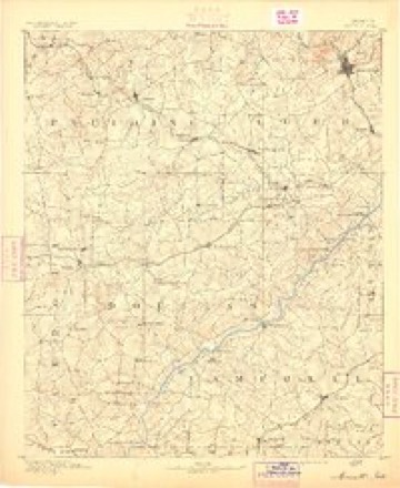
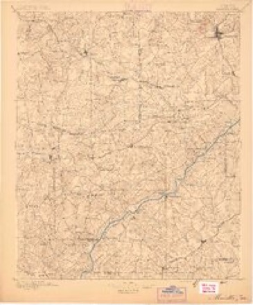
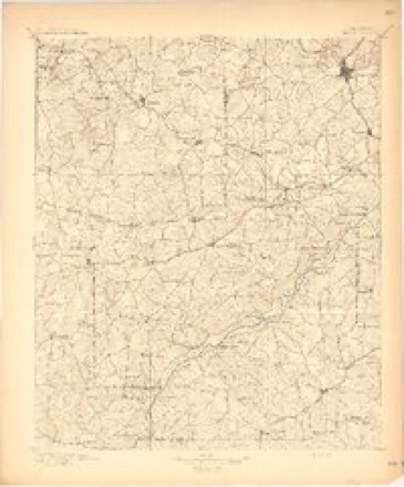
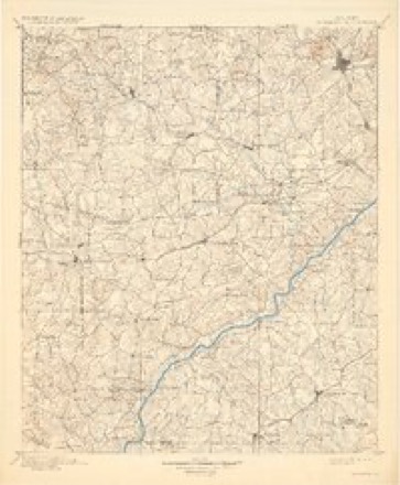
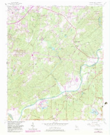
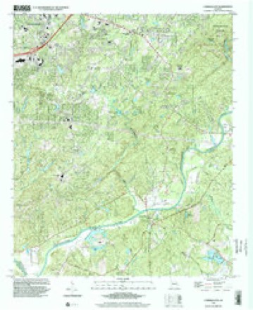
17 topographic sheets cover this place, the earliest surveyed in 1891 and the latest in 1999. It stands in the Bill Arp census division. It lies in ZIP code area 30135. The Survey maps it on the Campbellton quadrangle.
Topographic sheets covering this place
10 surveys from 17 printed sheetsMatched by testing this settlement's coordinate against the published boundary of every sheet in the United States Geological Survey's historical collection. Each opens the scanned sheet at the Survey.
- 1891 USGS Marietta quadrangle1:125000
- 1895 USGS Marietta quadrangle1:125000
- 1897 USGS Marietta quadrangle1:125000
- 1901 USGS Marietta quadrangle1:125000, 4 printings
- 1953 USGS Atlanta quadrangle1:250000, 2 printings
- 1954 USGS Campbellton quadrangle1:24000, 4 printings
- 1957 USGS Atlanta quadrangle1:250000
- 1958 USGS Atlanta quadrangle1:250000
- 1981 USGS Atlanta quadrangle1:100000
- 1999 USGS Campbellton quadrangle1:24000




Fires near this place
88 since 1992Regional context, not property-specific evidence. The federal wildfire occurrence database lists 88 fires within 5 miles of Chapel Hill between 1992 and 2018, burning about 444 acres in total. 1 started naturally. 34 were recorded as arson. Distance is straight-line from the map coordinates, so a fire counted here may appear on a neighbouring settlement's page as well.
| Reported cause | Fires |
|---|---|
| Arson/incendiarism | 34 |
| Debris and open burning | 31 |
| Equipment and vehicle use | 6 |
| Missing data/not specified/undetermined | 5 |
| Misuse of fire by a minor | 5 |
| Smoking | 4 |
| Recreation and ceremony | 2 |
| Natural | 1 |
The most recent of them, most recent first, with the day each was reported and the service that recorded it.
| Date | Cause | Size | Reported by | Name on the report |
|---|---|---|---|---|
| 8 September 1995 | Arson/incendiarism | 2.6 acres | Georgia Forestry Commission | not named |
| 7 September 2002 | Misuse of fire by a minor | under an acre | Georgia Forestry Commission | FY2003-DOUGLAS-001 |
| 6 September 2004 | Missing data/not specified/undetermined | under an acre | Georgia Forestry Commission | not named |
| 5 August 2001 | Debris and open burning | under an acre | Georgia Forestry Commission | FY2002-DOUGLAS-001 |
| 18 August 1995 | Debris and open burning | under an acre | Georgia Forestry Commission | not named |
| 7 July 1995 | Arson/incendiarism | 1.2 acres | Georgia Forestry Commission | not named |
| 4 July 2012 | Natural | 4.0 acres | Georgia Forestry Commission | FY2013-DOUGLAS-001 |
| 4 July 2009 | Equipment and vehicle use | under an acre | Georgia Forestry Commission | not named |
Settlements close enough to share some of these fires:
Mines and quarries near this place
8 within 5 milesRegional context, not property-specific evidence. The federal mineral resources record lists 8 workings within 5 miles of Chapel Hill: 7 producers, 1 past producer. 7 still produce. What was taken out: Sand and Gravel, Construction, Clay, Gold. Distance is straight-line from the map coordinates, so a quarry counted here may appear on a neighbouring settlement's page as well.
| Where | Site | Commodity | Status | Recorded |
|---|---|---|---|---|
| No Name | Gold | Past Producer | Vein | |
| Altizer Pit | Clay | Producer | ||
| Douglas County Clay Mine | Clay | Producer | ||
| Anders Dredge | Sand and Gravel, Construction | Producer | ||
| Circle P Ranch Sand Pit | Sand and Gravel, Construction | Producer | ||
| Johnston & Garrett Mine | Sand and Gravel, Construction | Producer | ||
| Suggs Dredge | Sand and Gravel, Construction | Producer | ||
| Wilson Pit and Dredge | Sand and Gravel, Construction | Producer |
Storms near this place
39 since 2002Regional context, not property-specific evidence. The National Weather Service names Chapel Hill in 39 storm reports between 2002 and 2025: 33 thunderstorm wind, 2 tornado, 2 lightning, 1 hail. The reports record 3 injuries. Each account below is quoted exactly as the forecast office filed it, from the NOAA Storm Events Database, and each date opens the federal record of that event.
| When | Event | Place named | Harm | What the report says |
|---|---|---|---|---|
| March 2008 | Tornado (EF1) | Chapel Hill | 1 hurt, $2,000,000 | A storm damage survey conducted by the National Weather Service Forecast Office in Peachtree City, Georgia concluded that a tornado, with a maximum intensity of EF1, tracked nearly seven miles across eastern Douglas county. Maximum path width was determined to be 100 yards and maximum wind speeds were estimated at 110 mph, near the upper end of the EF1 scale. The tornado, which began as an EF0 tornado, touched down in the 4300 block of Hampton Mill Drive in Chapel Hill, or about 4 miles south-southeast of Douglasville. Damage at this location was confined to minor roof damage and several snapped trees. The tornado continued across Stratford Drive as an EF0 where several more trees were snapped or bent over and a fence was blown down. The tornado then strengthened to an EF1 tornado as it crossed into a shopping center at the intersection of Bomar and Chapel Hill Roads. A Kroger grocery store sustained considerable damage when an air conditioning unit was blown off the roof, causing considerable damage to the roof of the building. An employee of the Kroger store was injured with a broken arm during the tornado. The tornado then continued as an EF1 into the Ashland Subdivision where numerous homes sustained minor roof damage and many trees were either uprooted or snapped. A number of homes in this area also sustained broken windows. A portion of the Kroger grocery store roof was found scattered about this neighborhood. As the EF1 continued on its north-northeastward track from this area, a mobile home was destroyed when a large pine tree fell on the structure. A number of large trees were also uprooted in the area. A trampoline was found up in the trees. The tornado than continued toward Ossabaw Court and Brookhollow, where winds associated with the tornado were estimated to have reached their maximum intensity of 110 mph. Numerous trees were blown down, the north side of a home was destroyed, a garage was damaged, a chimney blown down, and several homes sustained roof damage. As the tornado continued toward Warren and Pope Road, a shed was destroyed, several more large trees were uprooted, and shingles were blown off the roofs of several homes. Debris throughout the area was scattered up to 200 yards from its origin. The tornado continued on its north-northeastward track and began to weaken back to an EF0 as it tracked across Georgia Highway 92 and into the southern portions of the Lithia Springs area. A few large trees were blown down along Georgia Highway 92 just west of Bomar Road. In the southern part of Lithia Springs, several homes on Annette Drive suffered minor roof damage, a fence was blown down, a basketball goal blown over, and several trees were uprooted. The tornado ended near the intersection of Beaver Run Creek Road and Vulcan Drive, where several trees were down.||All together, one mobile home and one site-built home were destroyed, 10 homes sustained major damage, 52 sustained minor damage, 1 business had major damage, and 1 business had minor damage. |
| December 2024 | Tornado (EF1) | Chapel Hill | 1 hurt, $30,000 | A brief EF1 tornado touched down near Britt Rd and Fairburn Rd in far eastern Douglas County traveling northeast just a quarter of a mile. A large tree fell and destroyed a home on Fairburn Rd injuring one of the occupants. Several other homes in this area also had minor to moderate damage from fallen trees. |
| July 2012 | Lightning | Chapel Hill | 1 hurt | The Douglas County Emergency Manager reported that a 59-year-old woman was injured when she was struck by lightning on Chapel Hill Road. |
| July 2010 | Thunderstorm Wind | Chapel Hill | $150,000 | The Douglas County Emergency Management Director reported that several trees were blown down around Chapel Hill. Trees were down on Holland Drive, Central Church Road, and North Shelby Lane. Three trees were down on a home and three vehicles on North Shelby Road. Several power lines were also down across the city and many power outages were reported in the area. At least 1500 people in the county were left without power for several hours. |
| May 2010 | Thunderstorm Wind | Chapel Hill | $75,000 | WSB Television of Atlanta reported that a large tree fell across two homes on North Shelby Lane in Douglasville. One of the homes was heavily damaged. |
| June 2011 | Thunderstorm Wind | Chapel Hill | $20,000 | The Douglas County 911 Center reported that a tree fell on a vehicle on Bomar Road in Chapel Hill. |
| February 2025 | Thunderstorm Wind | Chapel Hill | $10,000 | Numerous trees down in the steward woods area south of douglasville and i20 from bill arp rd to chappel hill rd. |
| August 2016 | Lightning | Chapel Hill | $10,000 | The Douglas County Emergency Manager reported a house fire caused by a lightning strike on Royal Plume. |
| April 2025 | Thunderstorm Wind | Chapel Hill | $5,000 | Multiple trees down in a 5-10 mile radius of long lake dr and reynolds rd. |
| May 2009 | Thunderstorm Wind | Chapel Hill | $5,000 | The Douglas County Sentinel reported that a church, located on Chapel Hill Road, suffered minor damage when a tree fell on the structure during thunderstorm wind gusts. |
| April 2025 | Thunderstorm Wind | Chapel Hill | $3,000 | Em reports several trees down on fairburn rd from riverside pkwy to ridgeland dr. |
| July 2024 | Thunderstorm Wind | Chapel Hill | $2,000 | A tree and power lines were downed in the 5000 block of W Chapel Hill Road. |
| August 2023 | Thunderstorm Wind | Chapel Hill | $2,000 | Tree/powerline down near the intersection of Chapel Hill Rd and Chapel Valley Dr. |
| June 2014 | Thunderstorm Wind | Chapel Hill | $2,000 | The Douglas County 911 Center reported several trees and power lines down along Highways 166 and 5. |
| August 2014 | Thunderstorm Wind | Chapel Hill | $2,000 | The Douglas County 911 Center reported a couple of power lines down in the county along with a couple of house fires from lightning. |
| March 2025 | Thunderstorm Wind | Chapel Hill | $1,000 | Tree down blocking roadway near forest view trail and chapel creek dr. |
| February 2025 | Thunderstorm Wind | Chapel Hill | $1,000 | Em reports tree down on chapel hill at duncan memorial hwy. |
| February 2025 | Thunderstorm Wind | Chapel Hill | $1,000 | Em reports tree down at hwy92 near Victory Dr. |
| April 2025 | Thunderstorm Wind | Chapel Hill | $1,000 | Em reports tree down on chapel hill farms dr and chapel hill rd. |
| January 2024 | Thunderstorm Wind | Chapel Hill | $1,000 | A tree was downed in the 4000 block of Coursey Lake Road. |
| August 2024 | Thunderstorm Wind | Chapel Hill | $1,000 | A tree was downed on fairburn road at riverside drive. |
| August 2024 | Thunderstorm Wind | Chapel Hill | $1,000 | A power line was reported down in the 4200 block of yancey road. |
| August 2024 | Thunderstorm Wind | Chapel Hill | $1,000 | A tree was downed in the 4700 block of ivey lane. |
| July 2024 | Thunderstorm Wind | Chapel Hill | $1,000 | A tree was reported down on Reynolds Road at Mansfield Lane. |
| July 2024 | Thunderstorm Wind | Chapel Hill | $1,000 | A tree and power lines were downed in the 4100 Block of Anneewakee Road. |
| July 2024 | Thunderstorm Wind | Chapel Hill | $1,000 | A tree was downed near the intersection of hwy 166 at Tuscany Drive. |
| July 2023 | Thunderstorm Wind | Chapel Hill | $1,000 | Utility lines were downed at the intersection of Chapel Hill Rd and Forest View Trail. |
| July 2023 | Thunderstorm Wind | Chapel Hill | $1,000 | Report of tree was downed on Chattahoochee Drive. |
| August 2023 | Thunderstorm Wind | Chapel Hill | $1,000 | Tree reported down near the intersection of Old Briar Trail and N Shelby Lane. |
| August 2023 | Thunderstorm Wind | Chapel Hill | $1,000 | Report of tree down on Old Briar Trail. |
| August 2023 | Thunderstorm Wind | Chapel Hill | $1,000 | Tree down across anneewakee rd near Oak Place. |
| April 2022 | Thunderstorm Wind | Chapel Hill | $1,000 | Tree reported down at the intersection of Church Rd and Yancy Rd. |
| April 2005 | Thunderstorm Wind | Chapel Hill | $250 | The public reported that a tree was down along Kings Highway, with several small limbs also down in the area. |
| March 2025 | Thunderstorm Wind | Chapel Hill | - | Tree reported down on a house near the intersection of oliver lane and bagby park. |
| May 2025 | Thunderstorm Wind | Chapel Hill | - | Tree downed onto home on macedin dr. |
| April 2025 | Thunderstorm Wind | Chapel Hill | - | Tree on a house along jims court . |
| August 2023 | Thunderstorm Wind | Chapel Hill | - | Trees and powerlines down between Anneewakee Road and Jan Drive. |
| July 2008 | Heavy Rain | Chapel Hill | - | Fox 5 Television of Atlanta relayed a report from the public of 3.70 inches of rain from the Chapel Hill area of southern Douglas county. Similar rainfall likely fell across much of southern and eastern Douglas county and adjacent areas of Fulton county. No damage or flooding/flash flooding was reported. |
| May 2002 | Hail | Chapel Hill | - | The public reported quarter size hail. |
Nearest settlements
The eight closest, with where each one stands in the county. Distances are straight-line, computed from the Geographic Names Information System coordinates.
| Map | Place | Distance | Sheets |
|---|---|---|---|
| Doublegate | 0.5 miles | 17 | |
| Douglas Estates | 0.9 miles | 17 | |
| Anneewakee | 1.0 miles | 17 | |
| Rebel Trail | 1.1 miles | 17 | |
| Shelby Forest | 1.1 miles | 17 | |
| Holland Manor | 1.2 miles | 17 | |
| The Meadows North | 1.3 miles | 17 | |
| Reynolds Estates | 1.6 miles | 17 |
Elsewhere
Matched on this settlement's Geographic Names Information System number rather than its name, so it cannot be a different place of the same name in another state.
| Wikipedia article on Chapel Hill | An encyclopaedic summary. Its text is share-alike, so it is linked here rather than copied. |
| Wikidata item Q5073001 | The structured record the population and elevation above come from. Public domain (CC0). |
Provenance
This settlement is recorded in the Geographic Names Information System as feature 326217. The sheet list is computed by point-in-boundary test against the United States Geological Survey's historical topographic inventory. Both are works of the United States government and carry no copyright under 17 U.S.C. 105.
Wildfire. Short, Karen C. 2022. Spatial wildfire occurrence data for the United States, 1992-2020 [FPA_FOD_20221014]. 6th Edition. Fort Collins, CO: Forest Service Research Data Archive. https://doi.org/10.2737/RDS-2013-0009.6 Collected with United States Government funding and usable without additional permissions or fees.
Mines and quarries. USGS Mineral Resources Data System (MRDS) https://mrdata.usgs.gov/mrds/ A work of the United States government, no copyright under 17 U.S.C. 105.
Storms. NOAA National Centers for Environmental Information, Storm Events Database https://www.ncei.noaa.gov/stormevents/ A work of the United States government, no copyright under 17 U.S.C. 105. Narratives are quoted verbatim from the National Weather Service report and are not edited or summarised.