 Block
From the record
7 National Register listings published here.
Sources: the National Register database, National Park Service
43 topographic sheets and 6 fire insurance atlases across 1 place.
7 National Register listings published here.
Sources: the National Register database, National Park Service
Taken for the Office of War Information and the Farm Security Administration, who photographed the country between 1935 and 1944. Works of United States government photographers, with no known restriction on use. Each opens its catalogue record.
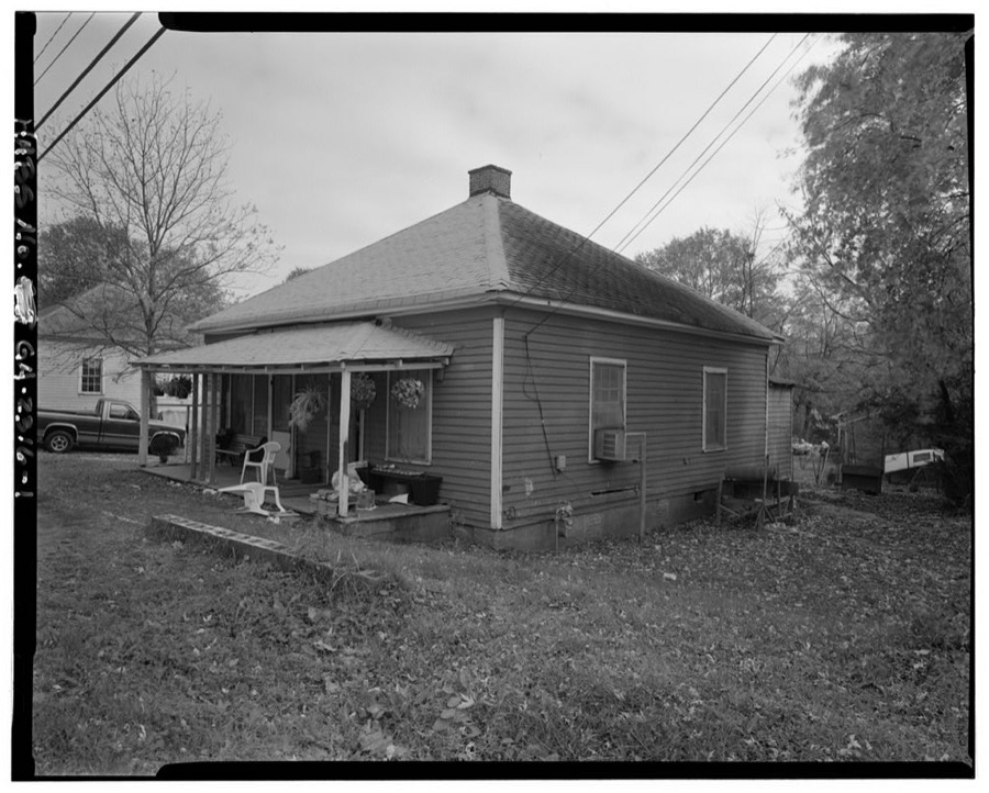
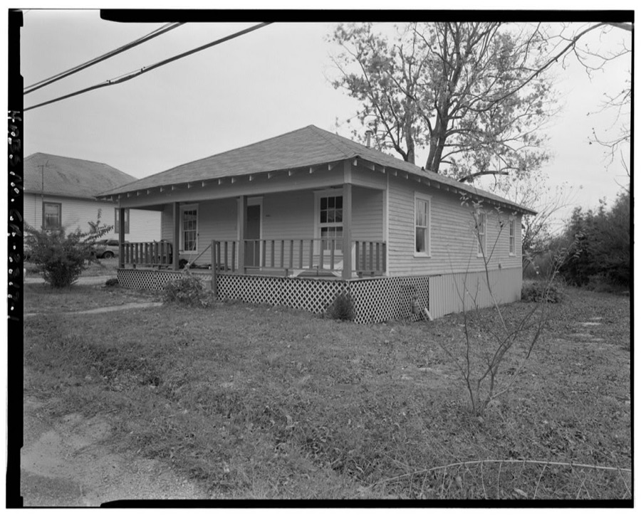
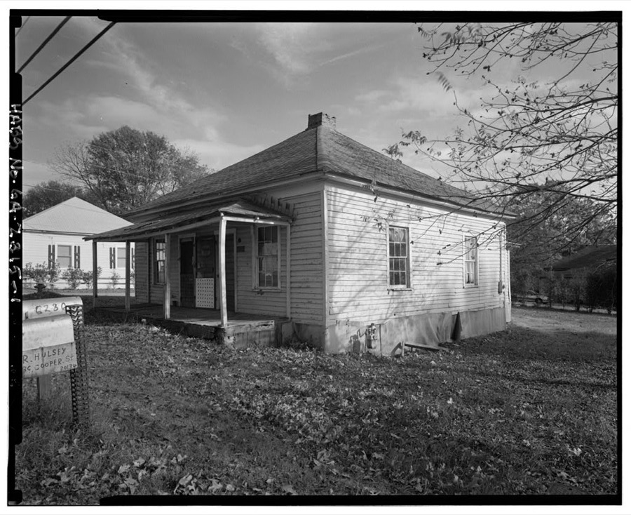
Every property in this county listed on the National Register of Historic Places, with the year it was listed and the federal nomination document.
| Photograph | Property | Type | Listed | Reference |
|---|---|---|---|---|
 | Basket Creek Cemetery | site | 2009 | 09000326 |
 | Beulah Grove Lodge No. 372, Free and Accepted York Masons-Pleasant Grove School | building | 2010 | 09001301 |
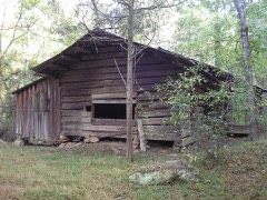 | John Thomas Carnes Family Log House | building | 2001 | 01000762 |
 | Douglas County Courthouse | building | 2002 | 02001216 |
 | Douglasville Commercial Historic District | district | 1989 | 89000850 |
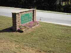 | Pine Mountain Gold Mine | district | 2008 | 08000834 |
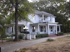 | Col. William T. Roberts House | building | 1989 | 89000153 |
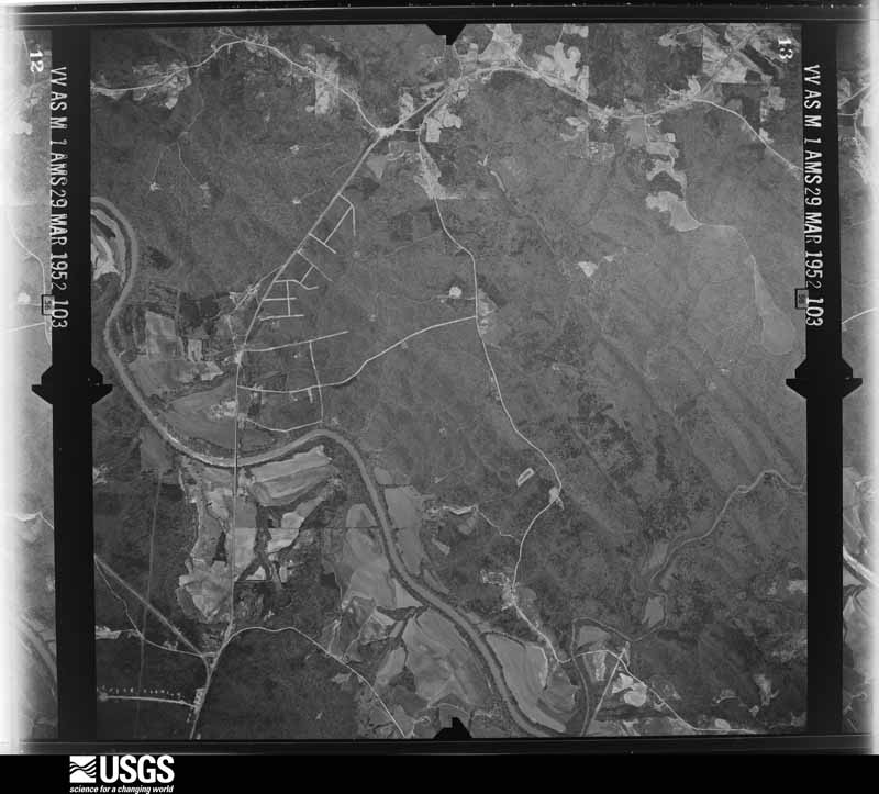
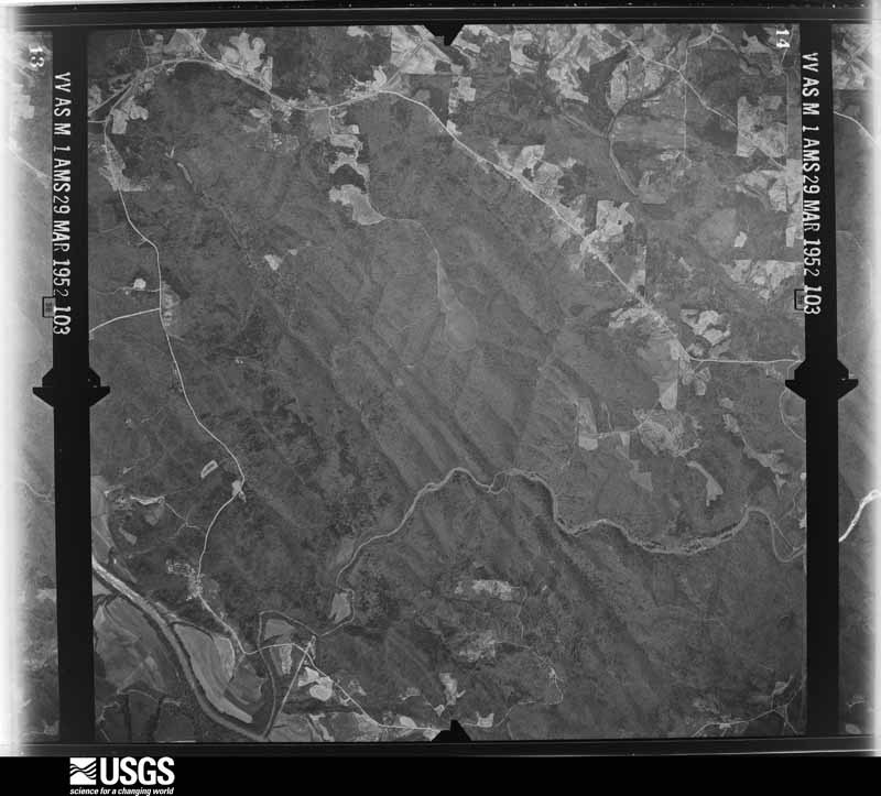
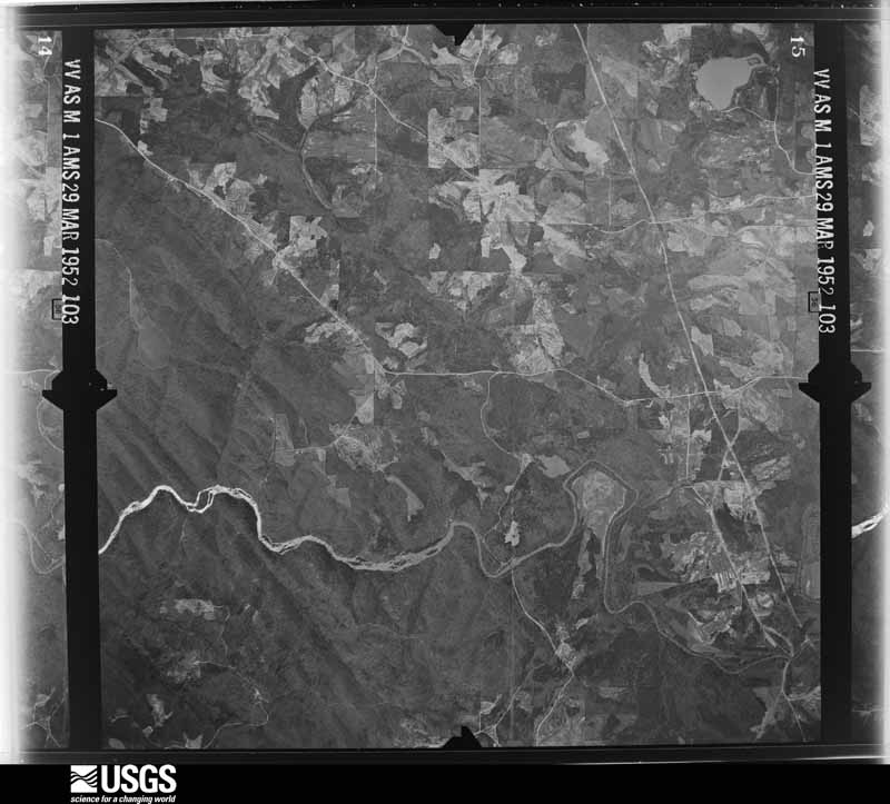
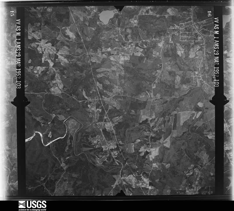
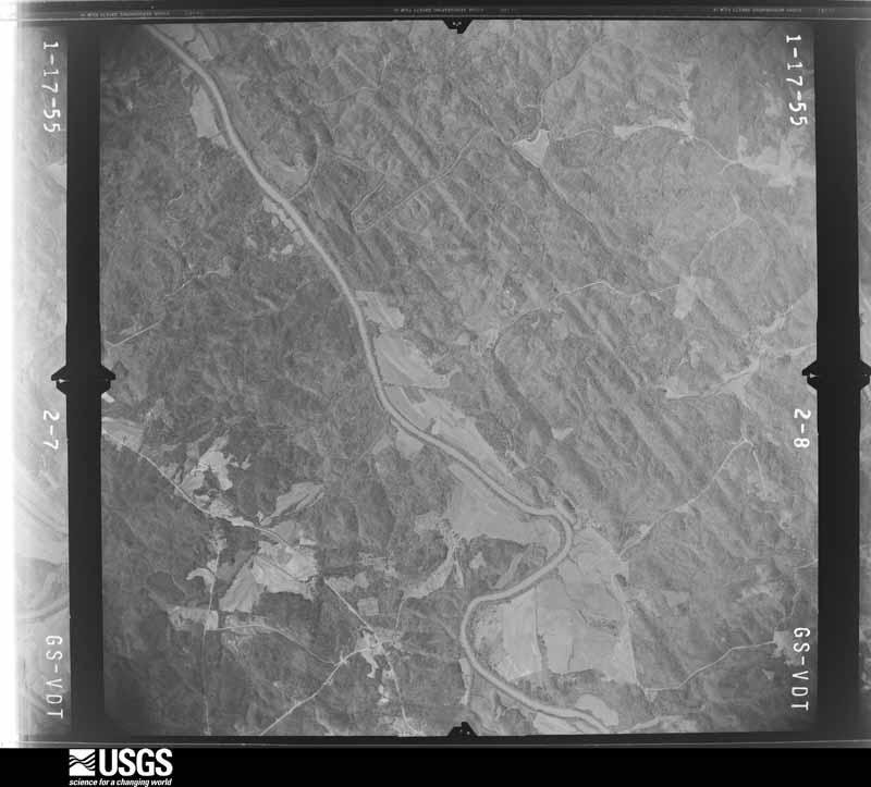
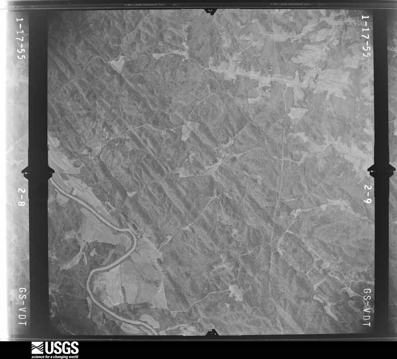
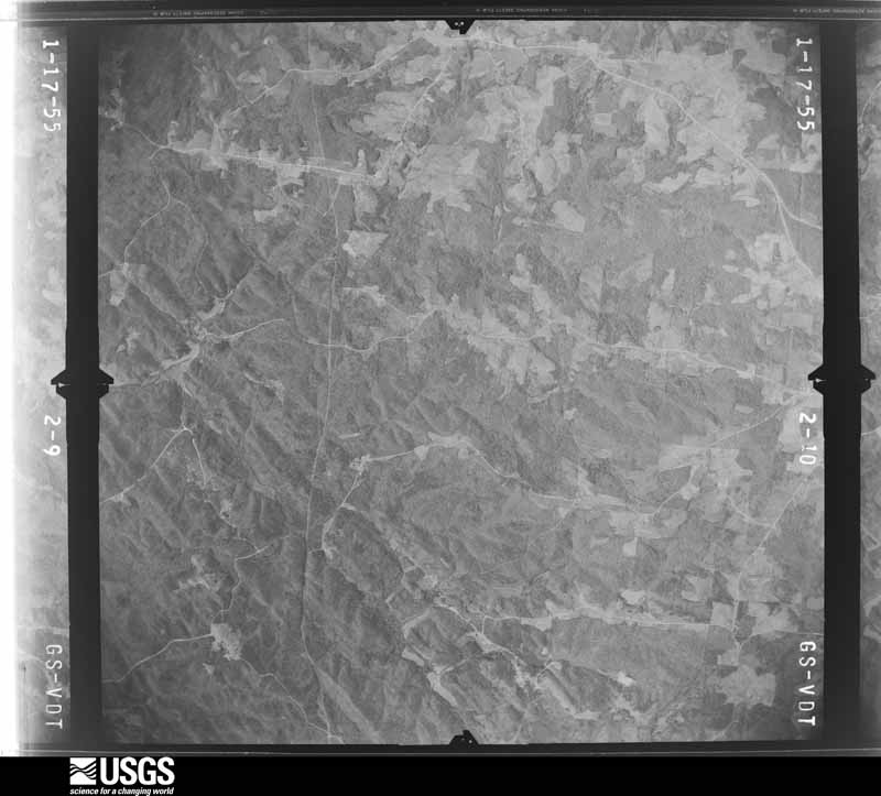
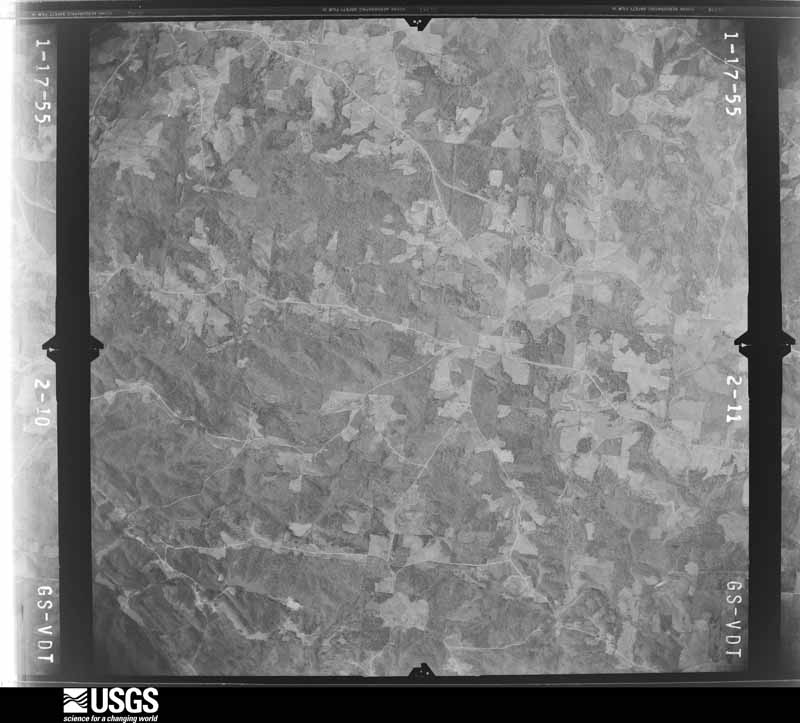
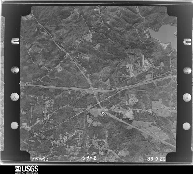
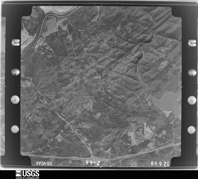
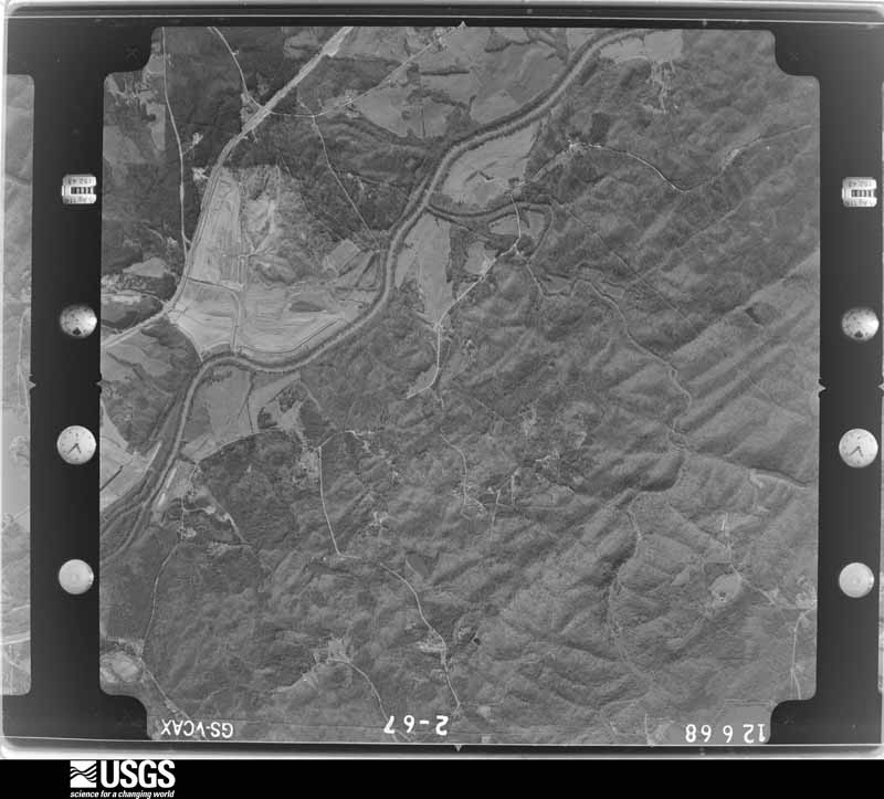
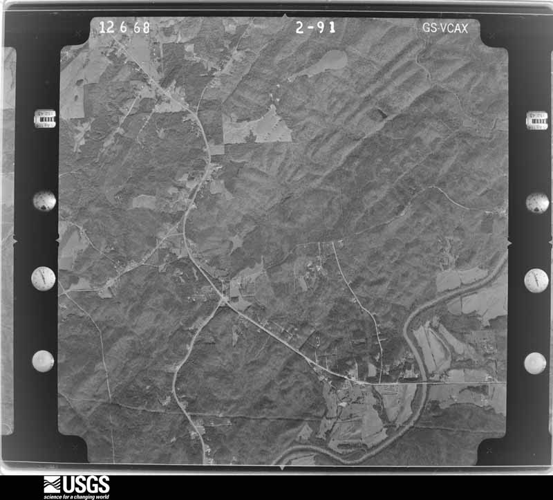
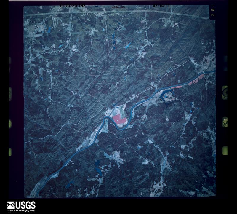
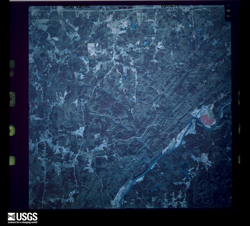
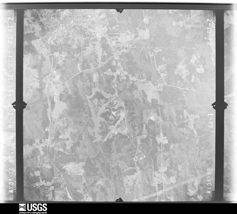
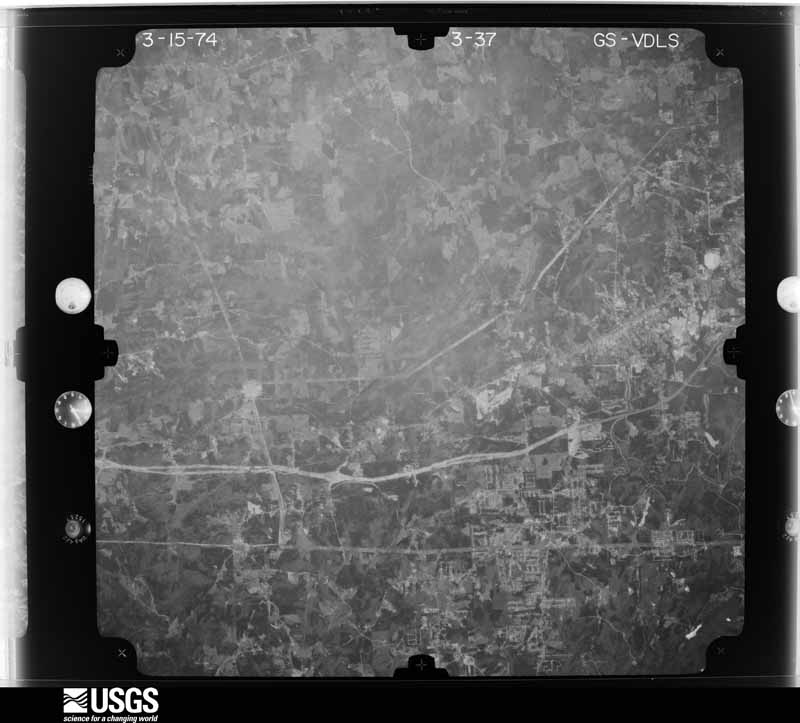
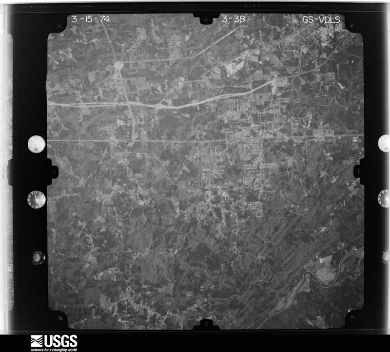
Flown by the U.S. Geological Survey between 1937 and 1989, the Aerial Photo Single Frames collection is the definitive mid-century view of the land: fields, roads and rivers as the camera saw them. The Survey holds 1,007 frames inside the rectangle that bounds this county; the 36 frames below were taken over the county itself, chosen across the decades of flights (at most four a year from that rectangle), so one flight cannot crowd out the rest. The full set is free to browse and download at EarthExplorer under the dataset Aerial Photo Single Frames.













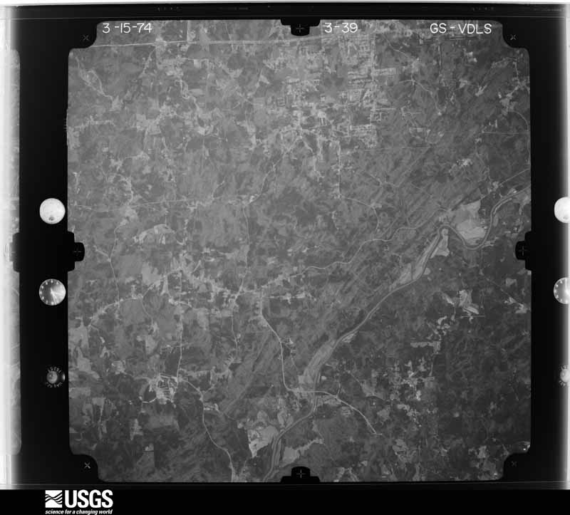
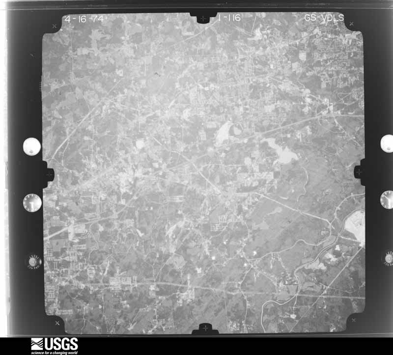
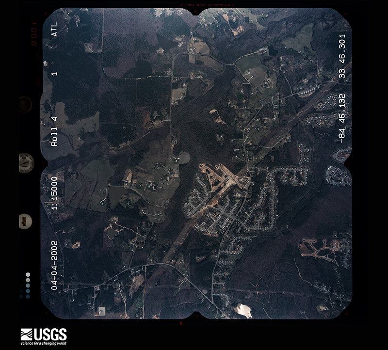
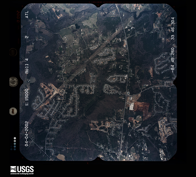


The thermometers that kept this county's weather, and the gages that measured the flow of its streams, as the federal records hold them. The extremes below are measured values from those records, not estimates.
Who lived here in 1950, one enumeration district at a time, as the Census Bureau described each district. Each row opens its official National Archives result, with Population Schedules and ED Maps available there.
Every wildfire the federal occurrence database records inside this county: 306 of them, burning about 1,255 acres. 7 started naturally and 96 were recorded as arson. Each settlement page carries the fires within five miles of it.
| Reported cause | Fires |
|---|---|
| Debris and open burning | 122 |
| Arson/incendiarism | 96 |
| Misuse of fire by a minor | 22 |
| Equipment and vehicle use | 19 |
| Recreation and ceremony | 16 |
| Missing data/not specified/undetermined | 13 |
| Smoking | 9 |
| Natural | 7 |
| Railroad operations and maintenance | 2 |
The five largest, by the area the report gives. Four of them were set deliberately.
| Date | Cause | Size | Reported by | Name on the report |
|---|---|---|---|---|
| 23 March 1995 | Debris and open burning | 89 acres | Georgia Forestry Commission | not named |
| 24 March 1996 | Equipment and vehicle use | 48 acres | Georgia Forestry Commission | not named |
| 12 February 1992 | Arson/incendiarism | 48 acres | Georgia Forestry Commission | not named |
| 23 October 1993 | Arson/incendiarism | 43 acres | Georgia Forestry Commission | not named |
| 21 July 2000 | Missing data/not specified/undetermined | 35 acres | Georgia Forestry Commission | FY2001-DOUGLAS-001 |
| 13 November 2003 | Debris and open burning | 29 acres | Georgia Forestry Commission | not named |
| 27 February 1994 | Arson/incendiarism | 27 acres | Georgia Forestry Commission | not named |
| 3 April 1994 | Arson/incendiarism | 26 acres | Georgia Forestry Commission | not named |
Every settlement page carries the fires within five miles of it - see the settlement index below.
The NOAA Storm Events Database holds 438 reports for this county, causing 7 deaths, 29 injuries and about $79,009,750 in recorded property damage. Each settlement page carries the reports that name it.
| Kind of event | Reports |
|---|---|
| Thunderstorm Wind | 282 |
| Hail | 96 |
| Flash Flood | 22 |
| Lightning | 22 |
| Tornado | 10 |
| Heavy Rain | 2 |
| Flood | 2 |
| Funnel Cloud | 1 |
| Winter Storm | 1 |
The most serious of them, by death, then injury, then recorded damage. The accounts are quoted exactly as the forecast office filed them.
| When | Event | Place named | Harm | What the report says |
|---|---|---|---|---|
| September 2009 | Flash Flood | Dglasvle Pinewood Ar | 6 killed, $870,000 | Numerous emergency management sources, as well as local law enforcement, newspapers, broadcast media, and National Weather Service surveys confirmed that record and catastrophic flash flooding began across Douglas county during this time frame. Repeated rounds of thunderstorms with heavy rain tracked from southwest to northeast. Flash flooding was observed in most parts of the county during this time frame. Up to six inches of rain fell in this area on already saturated ground. Rain continued overnight beyond this time frame, with some parts of the county receiving nearly 22 inches by the afternoon of the 21st. Hundreds of homes and businesses were impacted before the flooding subsided, many totally destroyed. Dozens of roads and bridges were were washed out as well, including some major roads such as Georgia Highway 166. Some roads, including Georgia Highway 166 will be closed for up to a year while washed out bridges are repaired. In addition, Douglas county suffered six flash flood deaths during this event, the most of any county from the historical floods in late September 2009. Flash flood deaths are documented as follows. The first flash flood death occurred at 1030 pm EDT when a 44-year old female was attempting to cross Mobley Creek at Banks Mill Road and was swept away in her Jeep Liberty. The second flash flood death occurred at 1100 pm EDT when a 29-year old male was swept way in his sport utility vehicle while attempting to cross Pool Creek at Poole Mill Road. The third flash flood death was that of a 26-year old female who also was attempting to cross Mobley Creek at Banks Mill Road. The fourth flash flood death was that of a 27-year old male attempting to cross Town Branch Creek at Mann Road. The fifth flash flood death in Douglas county occurred where Stewart's Mill Road crosses Anneewakee Creek when a 49-year old nurse was swept away in her vehicle while attempting to cross the creek. She was on her way to work at the time. The sixth flash flood death in Douglas county was that of a 55-year old male. He was swept away in his Ford Ranger pickup truck while attempting to cross West Bully Creek on North Helton Road. Numerous other high water rescues took place. Many took place via boat to rescue people from flood homes, businesses, and vehicles.||During this time frame, damage was estimated to be close to $1 million. Damages rose into the millions overnight and Monday as the flooding continued and worsened. |
| September 2009 | Flood | Dglasvle Pinewood Ar | 1 killed, $8,700,000 | Earlier flash flooding evolved into record and catastrophic flooding as confirmed by emergency management personnel and USGS stream gages. More than 40 roads across the county were completely washed out, including Post Road just south of Interstate-20. A portion of Interstate-20 near Fairburn Road was closed for nearly 12-hours causing major traffic backups throughout the region. The main line of the Norfolk-Southern railroad near Villa Rica was also washed out. A seventh person in Douglas county fell victim to the raging flood waters. A 29-year old female perished when she was swept away in her vehicle by flood waters from the Dog River at 451 am EDT. Over 1200 residents in the county were left without power as several tress in water logged soils fell on adjacent power lines. This primarily affected areas near and including Arbor Place Mall along Interstate-20 near Fairburn Road. Schools throughout the county were closed because of many impassable and flooded roads. Many homes, businesses, and roads across the county sustained tremendous damage. Washed out bridges will result in some roads being closed for up to a year, including portions of Georgia Highway 166 near Campbellton. Monetary damage to roads and property during this time frame was estimated to be close to $9 million. |
| April 1985 | Tornado (F1) | not stated | 16 hurt, $2,500,000 | no account filed |
| March 1991 | Tornado (F2) | not stated | 2 hurt, $25,000,000 | no account filed |
| February 1975 | Tornado (F1) | not stated | 2 hurt, $250,000 | no account filed |
| April 2025 | Thunderstorm Wind | Winston | 2 hurt | Tree down on car at high point rd near stockmar rd. |
| March 2008 | Tornado (EF1) | Chapel Hill | 1 hurt, $2,000,000 | A storm damage survey conducted by the National Weather Service Forecast Office in Peachtree City, Georgia concluded that a tornado, with a maximum intensity of EF1, tracked nearly seven miles across eastern Douglas county. Maximum path width was determined to be 100 yards and maximum wind speeds were estimated at 110 mph, near the upper end of the EF1 scale. The tornado, which began as an EF0 tornado, touched down in the 4300 block of Hampton Mill Drive in Chapel Hill, or about 4 miles south-southeast of Douglasville. Damage at this location was confined to minor roof damage and several snapped trees. The tornado continued across Stratford Drive as an EF0 where several more trees were snapped or bent over and a fence was blown down. The tornado then strengthened to an EF1 tornado as it crossed into a shopping center at the intersection of Bomar and Chapel Hill Roads. A Kroger grocery store sustained considerable damage when an air conditioning unit was blown off the roof, causing considerable damage to the roof of the building. An employee of the Kroger store was injured with a broken arm during the tornado. The tornado then continued as an EF1 into the Ashland Subdivision where numerous homes sustained minor roof damage and many trees were either uprooted or snapped. A number of homes in this area also sustained broken windows. A portion of the Kroger grocery store roof was found scattered about this neighborhood. As the EF1 continued on its north-northeastward track from this area, a mobile home was destroyed when a large pine tree fell on the structure. A number of large trees were also uprooted in the area. A trampoline was found up in the trees. The tornado than continued toward Ossabaw Court and Brookhollow, where winds associated with the tornado were estimated to have reached their maximum intensity of 110 mph. Numerous trees were blown down, the north side of a home was destroyed, a garage was damaged, a chimney blown down, and several homes sustained roof damage. As the tornado continued toward Warren and Pope Road, a shed was destroyed, several more large trees were uprooted, and shingles were blown off the roofs of several homes. Debris throughout the area was scattered up to 200 yards from its origin. The tornado continued on its north-northeastward track and began to weaken back to an EF0 as it tracked across Georgia Highway 92 and into the southern portions of the Lithia Springs area. A few large trees were blown down along Georgia Highway 92 just west of Bomar Road. In the southern part of Lithia Springs, several homes on Annette Drive suffered minor roof damage, a fence was blown down, a basketball goal blown over, and several trees were uprooted. The tornado ended near the intersection of Beaver Run Creek Road and Vulcan Drive, where several trees were down.||All together, one mobile home and one site-built home were destroyed, 10 homes sustained major damage, 52 sustained minor damage, 1 business had major damage, and 1 business had minor damage. |
| December 2024 | Tornado (EF1) | Chapel Hill | 1 hurt, $30,000 | A brief EF1 tornado touched down near Britt Rd and Fairburn Rd in far eastern Douglas County traveling northeast just a quarter of a mile. A large tree fell and destroyed a home on Fairburn Rd injuring one of the occupants. Several other homes in this area also had minor to moderate damage from fallen trees. |
| July 2012 | Lightning | Chapel Hill | 1 hurt | The Douglas County Emergency Manager reported that a 59-year-old woman was injured when she was struck by lightning on Chapel Hill Road. |
| July 2012 | Lightning | Douglasville | 1 hurt | The Douglas County Emergency Manager reported that a person was struck by lightning and injured on Lake Monroe near Douglasville. |
| March 2011 | Lightning | Douglasville | 1 hurt | The Douglas County Emergency Management Director reported that a middle-aged male was shocked indirectly by a nearby lightning strike while on a riding lawn mower just outside Douglasville. Although fire and emergency medical personnel were dispatched to the scene, no medical treatment was provided. |
| July 2010 | Lightning | Douglasville | 1 hurt | The Douglas County Emergency Manager, the Atlanta broadcast media, and the Douglas County Sentinel reported that a 15-year old male was struck by lightning while working with his father in the garage at their home on Bellemeade Drive off Coursey Lake Road. The teenage boy was apparently pushing the garage door opener button to close the door when the lightning strike occurred. The boy's arm was numb for several hours, but otherwise all injuries appeared to be minor. He was transported to a local hospital, treated, and released. |
| May 2001 | Lightning | Douglasville | 1 hurt | The Douglas county 911 center reported that a woman was struck by lightning. The extent of injury was not provided. |
| September 2009 | Flood | Dglasvle Pinewood Ar | $10,440,000 | Douglas county emergency management personnel and USGS stream gages confirmed that record to catastrophic flooding continued across much of the county. Some of the worst flooding during this event occurred in the Douglas and Cobb county areas. Hundreds of homes, apartments, businesses, and roads sustained damages from flooding. A number of culverts and/or bridges were washed out and many roads were closed. Some will remain closed for months up to a year. Flood waters began to recede after 830 am EDT on the 22nd, but many locations remained in major to record flood until 715 am EDT on the 23rd. Monetary damage from flooding continued to mount, with damage near $10.5 million, just during this time period. |
| March 2008 | Hail | Winston | $5,000,000 | An amateur radio operator relayed a report of baseball-sized hail at Lee Road and Fairburn Road, just south of Interstate 20. The public and reported golf ball to tennis ball-sized hail across northern Douglas county, roughly along and just north of Interstate-20. Golf ball-sized hail was also reported by the public in Winston and west of Winston near Villa Rica. An amateur radio operator reported golf ball-sized just north of Douglasville, and the public observed tennis ball-sized hail east of Douglasville, between Douglasville and Sweetwater State Park. Another amateur radio operator observed nickel to tennis ball-sized hail approximately two miles southwest of the intersection of Interstate-20 and Georgia Highway 92. |
| June 2011 | Hail | Winston | $3,200,000 | Several reports of large damaging hail were received from across the northern half of Douglas county. The public observed baseball-sized hail in Douglasville. An amateur radio operator relayed a report of golf ball-sized hail in the northwest part of the county, near Winston. The public observed half-dollar-sized hail in the eastern part of the county near Lithia Springs. |
| February 1990 | Tornado (F1) | not stated | $2,500,000 | no account filed |
| March 2013 | Hail | Douglasville | $2,290,000 | Ham radio operators relayed reports of golfball sized hail in Douglasville. |
| March 2013 | Hail | Lithia Spgs | $2,290,000 | The Douglas County Emergency Manager reported that golfball sized hail occurred in the Lithia Springs area, damaging vehicles and homes. |
| May 2008 | Thunderstorm Wind | Fairplay | $1,500,000 | A damage survey conducted by the National Weather Service Forecast Office in Peachtree City confirmed that the path of widespread straight-line wind damage that began in Carroll county continued into Douglas county. The wind damage path continued generally along and south of Georgia Highway 166 in the southern part of the county, from west of Fairplay to the Fulton county line south of Chapel Hill. The most extensive damage was observed in the Fairplay area. Numerous trees and power lines were blown down in Fairplay. A total of 121 homes sustained damage in the Fairplay, Chapel Hill, and southern Douglasville areas, including homes on Hannah Road, Tyree Road, South Post Road, Saint Andrews Country Club, East Carroll Road, Shell Road, and Capps Ferry Road. The damage survey concluded all of the wind damage was from strong straight line winds of at least 70 mph and that there was no tornado touch down in Douglas county from this event. |
| April 2009 | Hail | Douglasville | $1,300,000 | The public observed quarter-sized hail in northern Douglas county, north of Douglasville near the Douglas/Paulding county line, penny-sized hail in Douglasville, and golf ball-sized hail in the southeast part of the county near and southeast of Chapel Hill. The public reported that hail completely covered the ground in some areas. Significant damage to vehicles was reported from this area. |
| July 2008 | Lightning | Douglasville | $1,250,000 | The Douglas County Emergency Management Director reported that five homes in the Douglasville area were struck by lightning and set on fire. Three of the homes were completely destroyed and the other two suffered major damage. Most of the homes were located in the Chapel Hill area just off Georgia Highway 92, south of Douglasville. |
| February 2009 | Hail | Bill Arp | $1,000,000 | An amateur radio operator reported golf ball-sized hail near Georgia Highway 166. |
| July 2008 | Hail | Douglasville | $1,000,000 | The public observed quarter to golf ball-sized hail in the Douglasville area. |
| August 1996 | Flash Flood | Douglasville | $1,000,000 | no account filed |
| July 2005 | Flash Flood | East Portion | $750,000 | Some of the worst flash flooding associated with Hurricane Dennis occurred in Douglas county. The public, the Douglas County Emergency Management Director, and the Douglas Neighbor reported extensive flooding along Sweetwater Creek in Lithia Springs. Rainfall of nearly 10 inches had been reported in the area. Sweetwater Creek rose to a record flood stage of 21.8 feet, surpassing the previous record flood stage of 20.0 feet recorded on July 7, 1916. Several homes were flooded in the area and a number of roads were washed out in the Lithia Springs areas, including Lee Road, Brooks Forrest Road, Robin Road, and Wren Circle. Sweetwater Creek had also overflowed onto Mount Vernon Road and Skyview Drive, both of which were closed. Numerous back roads in the eastern portion of the county were flooded, impassable, and closed. All together, ten roads required major repair and seven others were flooded and closed for some period of time. Several residents of the area had to be evacuated. Forty-two trailer homes were either submerged or heavily damaged by flood waters and six site-built homes sustained minor damage from flood waters. Flood waters also caused extensive damage to a Ford dealership on Thornton Road. Both the car lots and the office were flooded. The water caused damage to about 100 used cars and 20-30 new ones. Damage was also reported to the ball fields at Woodrow Wilson Park in Lithia Springs. A number of small creeks were out of their banks, and some lakes had overflowed as well. Several bridges in the county were threatened as well with water up to bridge level. A number of yards were flooded and minor flooding was reported to some homes, mainly basements. Damage across the county was estimated around $6,000,000. |
| June 1998 | Thunderstorm Wind | Douglasville | $700,000 | An NWS survey team verified straight-line wind damage in the Douglasville area. As many as 100 homes were damaged, mostly from numerous falling trees. Shingles were torn from roofs and a few chimneys were damaged. A brick sign at a grocery store was toppled. Most of the damage occurred in a path from the Arbor Station subdivision to Chapel Hill Road just south of I-20. The path was about 200 yards wide and 1/2 mile long. All the trees were laying down in an easterly direction. Winds were estimated at 70 to 80 mph. There were reports of a funnel cloud in the area, but apparently it stayed just above the ground. |
| July 2011 | Lightning | Douglasville | $500,000 | Fox 5 Television of Atlanta reported that there were at least four almost simultaneous lightning-related fires in Douglas county during the evening, as relayed by Douglas County fire officials. One home near Douglasville was a total loss. |
| February 2008 | Thunderstorm Wind | Winston | $500,000 | The Douglas County 911 Center reported that several trees and power lines were blown down across the entire county. The public reported that a portion of the roof covering pumps at a gas station in Lithia Springs, just down the street from the Lithia Springs High School, was torn off by strong winds. Several homes were damaged when trees fell on them. A total of 15,500 residents of the county were left without power for several hours following the storm. |
| July 2002 | Lightning | Douglasville | $485,000 | The Douglas county Emergency Management Director reported that three homes and one outbuilding were set on fire by lightning strikes around the county. One home and its contents were completely destroyed off Georgia Highway 166 south of Douglasville, two other homes suffered major damage, and one outbuilding was destroyed in the Marie's Lake subdivision. |
| December 2015 | Flash Flood | Winston | $478,000 | A USGS stream gauge on the Dog River at Bill Arp Road or Georgia Highway 5 near Fairplay reached flood stage of 13 feet. The river crest at 13.9 feet. Minor flooding occurred in the woodlands and natural flood plain upstream and downstream from the gauge. Several roads and culverts were washed out on tributaries leading to the river. |
| May 2021 | Tornado (EF1) | Bill Arp | $250,000 | A National Weather Service survey determined that an EF1 tornado with maximum winds of 90 MPH and a maximum path width of 250 yards touched down along N. Summers Circle in the Kings Point area, uprooting and snapping a few trees. The tornado intensified as it moved northeast and crossed Kings Highway, snapping and uprooting trees along Plum Crest Road, Cherry Dale Drive, Orchard Road, and Apple Valley Road. At least 10 homes had trees blown down onto them. The tornado turned east crossing Apple Way Court and Yeager Road snapping and uprooting more trees there and along Greenwood Drive and McKoy Trail before ending as it approached Dorset Shoals Road. [5/3/21: Tornado #1, County #1/1, EF-1, Douglas, 2021:009]. |
| March 2017 | Thunderstorm Wind | Dglasvle Pinewood Ar | $250,000 | The Douglas County Emergency Manager reported numerous trees and power lines blown down across the northern and eastern portion of the county. Locations include Bakers Bridge Road at Sweetwater Church Road, Highway 120 at Chapel Hill Road, Lee Road at County Line Road, Brookmont Parkway at Brookhollow Drive, Dallas Highway at Lincoln Street, Fairburn Road, North Helton Road at Watkins Mill Road, Woodcreek Way at Dogwood Way, and many other locations. Many homes and business had damage from falling trees. No injuries were reported. |
| April 2011 | Thunderstorm Wind | Fairplay | $200,000 | The Douglas County Emergency Management Director reported that a roof on a building in downtown Douglasville collapsed because of strong thunderstorm wind gusts. Another building in Lithia Springs along Bankhead Highway also had a good portion of its roof torn off by strong thunderstorm wind gusts. In addition, widespread damage to trees and power lines was observed throughout the county from just northwest of Fairplay to Lithia Springs. |
| March 2013 | Thunderstorm Wind | Lithia Spgs | $175,000 | The Douglas County Emergency Manager reported that numerous trees and power lines were blown down in the Lithia Springs area. Three vehicles and five homes were damaged by falling trees, and several roads were blocked. |
| January 2001 | Lightning | Douglasville | $175,000 | The Douglas county 911 center, and later the Atlanta Journal and Constitution, reported that lightning struck a home in Douglasville. While no one was home at the time of the incident, the lightning started a fire that destroyed the home. In addition, a firefighter suffered a broken ankle battling the blaze. |
| April 2011 | Thunderstorm Wind | Fairplay | $150,000 | The Douglas County Emergency Management Director reported that several trees were down across the county from Fairplay to northeast of Douglasville. The most significant damage appeared to be on the west and north side of Douglasville. Several trees were down near the intersection of Georgia Highway 5 and Riley Road. A large tree caused a roof to cave in on a structure located in the 6600 block of Bankhead Highway just southwest of Douglasville. |
| August 2010 | Lightning | Winston | $150,000 | The Douglas County Emergency Management Director reported that four lightning-related fires occurred across the county between 549 pm EDT and 601 pm EDT as strong thunderstorms tracked from northwest to southeast. |
| July 2010 | Thunderstorm Wind | Chapel Hill | $150,000 | The Douglas County Emergency Management Director reported that several trees were blown down around Chapel Hill. Trees were down on Holland Drive, Central Church Road, and North Shelby Lane. Three trees were down on a home and three vehicles on North Shelby Road. Several power lines were also down across the city and many power outages were reported in the area. At least 1500 people in the county were left without power for several hours. |
| May 2003 | Thunderstorm Wind | Douglasville | $150,000 | Numerous reports of downed trees were received from the public in the Douglasville area, especially between downtown and the Chapel Hill area southwest of Douglasville. Several trees fell on homes south and west of Douglasville along Central Church Road, Daniel Mill Road, Post Road, as well as in the Mirror Lake Country Club just east of Villa Rica. A number of power lines were also blown down or knocked down by fallen trees during this event and a large hotel sign was blown down in Douglasville. An off duty National Weather Service employee estimated that over 100 trees were blown down in just the Chapel Hill area alone. One person reported that his 1996 Toyota Camry was blown off the road, near Thorton Road and Interstate-20, with winds estimated in excess of 60 mph. |
| May 2013 | Thunderstorm Wind | Douglasville | $100,000 | The Douglas County Emergency Manager and 911 Center reported numerous trees down across the county. Several fell on power lines and homes, including on Pilgrims Drive, Windmark Place, David Drive, Greenbrook Drive, McKown Road, Hidden Branch Road, Bomar Road, and South Burnt Hickory Road. |
| October 2010 | Thunderstorm Wind | Douglasville | $100,000 | The Douglas County 911 Center reported that a tree had fallen on a home causing considerable damage to the structure and trapping the family inside. The family was rescued from the damaged home without incident or injury. |
| May 2010 | Thunderstorm Wind | Chapel Hill | $75,000 | WSB Television of Atlanta reported that a large tree fell across two homes on North Shelby Lane in Douglasville. One of the homes was heavily damaged. |
| June 2010 | Thunderstorm Wind | Douglasville | $75,000 | WSB Television of Atlanta and the Douglas County 911 Center reported that several trees were down across the eastern half of the county. Several trees were down along or near Georgia Highway 5, Thornton Road, and Sam Alexander road in Douglasville Some trees were on homes and power lines. Power lines were also down in Lithia Springs. |
| July 2003 | Thunderstorm Wind | Winston | $75,000 | The Douglas county 911 center reported that a number of trees had been blown down throughout the Douglasville area. The public reported that two trees were down near the Douglas/Carroll county border, just east of Villa Rica. The Douglas County Sentinel reported that a home on Hollis Street was partially crushed when a large tree fell on the house. Although the occupant was at home during the event, he did not suffer any injuries. |
| June 1998 | Thunderstorm Wind | Countywide | $75,000 | The Douglas county newspaper reported severe thunderstorm winds knocked tress down countywide.Although lots of damage to homes and vehicles occurred, none of it was heavy according to the sheriff. |
| March 2005 | Thunderstorm Wind | Countywide | $60,000 | The Douglas Enterprise reported that thunderstorms caused considerable damage around the county. A mobile home and adjacent satellite dish were destroyed in the rural part of the county. Several trees and power lines were blown down throughout the county. |
| April 2021 | Thunderstorm Wind | Fairplay | $50,000 | The Douglas County Emergency Manager and the public reported numerous trees blown down in the Fairplay area, generally along Liberty Road from Tyree Road to Banks Mill Road. |
| March 2018 | Thunderstorm Wind | Fairplay | $50,000 | Numerous reports of trees and power lines blown down were received from the Douglas County Emergency Manager and the 911 center. Trees were reported down on North Helton Road, Harvest Hill, and on Oakland Drive where one tree fell onto a house. No injuries were reported. Power lines were blown down along Corn Crib Loop South. |
| May 2010 | Flash Flood | Fairplay | $50,000 | Flash flooding was indicated along the USGS stream gage on Sweetwater Creek at the Interstate-20 bridge where it reached its flood stage of 10.0 feet at 745 am EDT. The creek continued to rise and crested at 11.0 feet at 930 am EDT. The Douglas County Emergency Management Director indicated that a small dam near Post and Liberty roads was breached. A pond on Rose Avenue also overtopped its dam and flooded parts of Rose Avenue with six inches of water. Several roads in the county were closed because of slow drainage. Several homes suffered flooded basements as well. Damages to roads and property were estimated at $50,000. |
| June 2011 | Thunderstorm Wind | Winston | $35,000 | The Douglas County Emergency Management Director reported that at least eight trees were down across the county, including one on a home on Bankhead Road in Lithia Springs. A tree was also down on a power line at Yeager Road near Bear Creek Road. Damage was scattered throughout the county from northwest to southeast. |
| July 2000 | Thunderstorm Wind | Countywide | $35,000 | The Douglasville County Sentinel and the public reported numerous trees down countywide. The county Emergency Management Association estimated that 75 to 100 trees were damaged in the county. A house was significantly damaged in Winston when a tree fell through the roof. There were many reports of trees down on the roofs of homes and on power lines throughout the county. |
| June 2023 | Thunderstorm Wind | Douglasville | $30,000 | The 911 Center reported trees and/or powerlines down at numerous locations within Douglasville, including trees down at Alcris Drive, Cedar Mountain Road, Prestley Mill Road, Strickland Street at Timberlane Road, Rose Avenue, Clark Street at Park Street, Bowden Street at Clark Street, Rose Avenue at Starla Street, Countryside Way, Chicago Avenue, and Springwood Drive and powerlines down at Alcris Drive, Prestley Mill Road, Young Street, Warren Drive, Wenona Street, and Richland Drive. |
| April 2011 | Thunderstorm Wind | Bill Arp | $30,000 | The public reported that a tree was down on a houe and a vehicle in Chapel Hill. The Douglas County 911 Center reported that another tree was down on a power line in Douglasville. |
| July 2008 | Thunderstorm Wind | Douglasville | $30,000 | The Douglas County Emergency Management Director reported that a tree was blown down onto a home causing damage to the structure. When the tree fell, it also brought a power line down with it, which was also lying on the home. |
| June 2003 | Flash Flood | North Portion | $30,000 | The Douglas county Emergency Management Director reported that extensive flooding occurred across the northern portions of the county, especially in the Lithia Springs, Douglasville, and Winston areas. Several homes were flooded and at least eight roads sustained damage, including some with washed out bridges and culverts. The Douglas County Sentinel reported that the Prestley Mill and Slater Mill Road bridges suffered the most damage. Extensive dirt and debris had to be removed from the roadways after the water receded before they could even be used. In addition, the guard rails on the bridge were bent from the force of the rushing water. An off duty National Weather Service employee reported that nearly five inches of rain fell across northern Douglas county between midnight and 5 am EDT. |
| June 1998 | Lightning | Douglasville | $30,000 | A mobile home off Anneewakee Road was burned to the ground after being hit by lightning. A residence on Tall Pines Drive suffered minor damage. |
| August 2021 | Thunderstorm Wind | Lithia Spgs | $25,000 | The Douglas County 911 center reported a few trees blown from Lithia Springs to north of Fairplay. One tree fell onto a house near the intersection of Riley Road and Old Beulah Road. |
| July 2019 | Thunderstorm Wind | Lithia Spgs | $25,000 | The Douglas County Emergency Manager reported several trees and power lines down around the Lithia Springs area, between Temple Street and North Sweetwater Road and Brenda Lane. A tree was also reported down on a house off Linda Drive. Time estimated from radar. |
| January 2012 | Thunderstorm Wind | Douglasville | $25,000 | The Douglas County Emergency Manager reported that signs at a shopping plaza were blown out and others twisted at the intersection of Fairburn Road and Shawnee Trail. Several businesses along Fairburn Road sustained minor structural damage to the roofs, with another sustaining moderate damage. One window was blown out, and several tree limbs were downed. |
The Survey's mineral resources record lists 14 workings inside this county. 7 still produce and 7 are closed or unrecorded. Each settlement page carries the workings within five miles of it.
| Commodity | Workings |
|---|---|
| Gold | 3 |
| Sand and Gravel, Construction | 3 |
| Iron-Pyrite | 2 |
| Clay | 2 |
| Stone, Crushed/Broken | 2 |
| Sulfur | 2 |
| Gold, Copper | 1 |
| Copper, Zinc | 1 |
| Cobalt, Nickel | 1 |
The least common of them first, because a county's hundredth gravel pit says nothing its first ten did not.
| Where | Site | Commodity | Status | Recorded |
|---|---|---|---|---|
| Keaten-Thomas Prospect | Iron-Pyrite, Gold, Copper | Occurrence | Gossan | |
| Villa Rica | Iron-Pyrite, Copper, Zinc, Cobalt, Nickel | Occurrence | Stratabound Concordant Massive Sulfide | |
| Douglas County Clay Mine | Clay | Producer | ||
| Douglas Mine | Clay | Producer | ||
| Douglasville Quarry | Stone, Crushed/Broken | Producer | ||
| Keaton-Thomas Prospect | Sulfur | Prospect | ||
| Lithia Springs Quarry | Stone, Crushed/Broken | Producer | ||
| Villa Rica Mine | Sulfur | Past Producer | ||
| Anders Dredge | Sand and Gravel, Construction | Producer | ||
| Circle P Ranch Sand Pit | Sand and Gravel, Construction | Producer | ||
| No Name | Gold | Past Producer | Vein | |
| No Name, Lot 77 2nd Dist. | Gold | Past Producer | Stream Placer | |
| Pine Mt. Mine | Gold | Past Producer | Stratabound Disseminated Sulfide | |
| Suggs Dredge | Sand and Gravel, Construction | Producer |
Named settlements recorded in the Geographic Names Information System, each with the topographic sheets covering it. Villages, hamlets and abandoned places alike. Each is shown with the nearest named watercourse or landform and the survey quadrangle it falls on. The 1 place that was also surveyed for fire insurance comes first, with the number of atlases and photographs held for them.
Douglasville-Lithia Springs census division · 30134 · Austell quadrangle
20 sheets, 1891 to 1999
Fire insurance: 6 atlases
Bill Arp census division · 30135 · On Mobley Creek · Winston quadrangle
17 sheets, 1891 to 1981
Bill Arp census division · 30135 · On Yellow Rock Creek · Winston quadrangle
17 sheets, 1891 to 1981
Douglasville-Lithia Springs census division · 30134 · Campbellton quadrangle
17 sheets, 1891 to 1999
Douglasville-Lithia Springs census division · 30122 · Austell quadrangle
20 sheets, 1891 to 1999
Bill Arp census division · 30135 · On Tanyard Branch · Campbellton quadrangle
17 sheets, 1891 to 1999
Douglasville-Lithia Springs census division · 30135 · On Crooked Creek · Campbellton quadrangle
17 sheets, 1891 to 1999
Douglasville-Lithia Springs census division · 30134 · On Slater Mill Creek · Campbellton quadrangle
17 sheets, 1891 to 1999
Douglasville-Lithia Springs census division · 30122 · Austell quadrangle
20 sheets, 1891 to 1999
Fairplay census division · 30135 · On Cardinal Creek · Rico quadrangle
17 sheets, 1891 to 1981
Douglasville-Lithia Springs census division · 30122 · On Dry Creek · Austell quadrangle
20 sheets, 1891 to 1999
Douglasville-Lithia Springs census division · 30134 · Austell quadrangle
20 sheets, 1891 to 1999
Douglasville-Lithia Springs census division · 30135 · On Slater Mill Creek · Campbellton quadrangle
17 sheets, 1891 to 1999
Douglasville-Lithia Springs census division · 30122 · Austell quadrangle
20 sheets, 1891 to 1999
Douglasville-Lithia Springs census division · 30122 · On Buttermilk Creek · Austell quadrangle
20 sheets, 1891 to 1999
Douglasville-Lithia Springs census division · 30135 · Campbellton quadrangle
17 sheets, 1891 to 1999
Douglasville-Lithia Springs census division · 30122 · On Dry Creek · Austell quadrangle
20 sheets, 1891 to 1999
Douglasville-Lithia Springs census division · 30122 · Austell quadrangle
20 sheets, 1891 to 1999
Douglasville-Lithia Springs census division · 30134 · Austell quadrangle
20 sheets, 1891 to 1999
Douglasville-Lithia Springs census division · 30135 · On Slater Mill Creek · Campbellton quadrangle
17 sheets, 1891 to 1999
Douglasville-Lithia Springs census division · 30135 · On Little Anneewakee Creek · Campbellton quadrangle
17 sheets, 1891 to 1999
Douglasville-Lithia Springs census division · 30135 · On Crooked Creek · Campbellton quadrangle
17 sheets, 1891 to 1999
Douglasville-Lithia Springs census division · 30122 · On Dry Creek · Campbellton quadrangle
17 sheets, 1891 to 1999
Douglasville-Lithia Springs census division · 30135 · On Slater Mill Creek · Austell quadrangle
20 sheets, 1891 to 1999
Douglasville-Lithia Springs census division · 30134 · Austell quadrangle
20 sheets, 1891 to 1999
Douglasville-Lithia Springs census division · 30135 · Austell quadrangle
20 sheets, 1891 to 1999
Douglasville-Lithia Springs census division · 30135 · Austell quadrangle
20 sheets, 1891 to 1999
Bill Arp census division · 30135 · On Anneewakee Creek · Campbellton quadrangle
17 sheets, 1891 to 1999
Fairplay census division · 30187 · On Billy Creek · Winston quadrangle
17 sheets, 1891 to 1981
Douglasville-Lithia Springs census division · 30122 · On Dry Creek · Austell quadrangle
20 sheets, 1891 to 1999
Douglasville-Lithia Springs census division · 30135 · Campbellton quadrangle
17 sheets, 1891 to 1999
Douglasville-Lithia Springs census division · 30135 · On Crooked Creek · Campbellton quadrangle
17 sheets, 1891 to 1999
Douglasville-Lithia Springs census division · 30134 · Campbellton quadrangle
17 sheets, 1891 to 1999
Bill Arp census division · 30135 · On Crooked Creek · Campbellton quadrangle
17 sheets, 1891 to 1999
Bill Arp census division · 30135 · On Tanyard Branch · Campbellton quadrangle
17 sheets, 1891 to 1999
Douglasville-Lithia Springs census division · 30134 · On Slater Mill Creek · Austell quadrangle
20 sheets, 1891 to 1999
Douglasville-Lithia Springs census division · 30134 · Austell quadrangle
20 sheets, 1891 to 1999
Douglasville-Lithia Springs census division · 30134 · Austell quadrangle
20 sheets, 1891 to 1999
Winston census division · 30180 · Near Andy Mountain · Winston quadrangle
17 sheets, 1891 to 1981
Bill Arp census division · 30135 · On Little Anneewakee Creek · Campbellton quadrangle
17 sheets, 1891 to 1999
Douglasville-Lithia Springs census division · 30122 · Austell quadrangle
20 sheets, 1891 to 1999
Bill Arp census division · 30135 · On Tanyard Branch · Campbellton quadrangle
17 sheets, 1891 to 1999
Douglasville-Lithia Springs census division · 30135 · Campbellton quadrangle
17 sheets, 1891 to 1999
Winston census division · 30180 · Near Pine Mountain · Villa Rica quadrangle
17 sheets, 1891 to 1981
Douglasville-Lithia Springs census division · 30122 · Austell quadrangle
20 sheets, 1891 to 1999
Douglasville-Lithia Springs census division · 30134 · Austell quadrangle
20 sheets, 1891 to 1999
Bill Arp census division · 30135 · On Little Bear Creek · Winston quadrangle
17 sheets, 1891 to 1981
Bill Arp census division · 30187 · On Pool Creek · Winston quadrangle
17 sheets, 1891 to 1981
Douglasville-Lithia Springs census division · 30135 · On Crooked Creek · Campbellton quadrangle
17 sheets, 1891 to 1999
Douglasville-Lithia Springs census division · 30122 · Austell quadrangle
20 sheets, 1891 to 1999
Bill Arp census division · 30135 · On Little Anneewakee Creek · Campbellton quadrangle
17 sheets, 1891 to 1999
Douglasville-Lithia Springs census division · 30134 · Austell quadrangle
20 sheets, 1891 to 1999
Douglasville-Lithia Springs census division · 30134 · Austell quadrangle
20 sheets, 1891 to 1999
Douglasville-Lithia Springs census division · 30135 · On Camp Creek · Campbellton quadrangle
17 sheets, 1891 to 1999
Bill Arp census division · 30135 · On Little Anneewakee Creek · Campbellton quadrangle
17 sheets, 1891 to 1999
Fairplay census division · 30135 · On Cardinal Creek · Rico quadrangle
17 sheets, 1891 to 1981
Douglasville-Lithia Springs census division · 30135 · On Little Anneewakee Creek · Campbellton quadrangle
17 sheets, 1891 to 1999
Bill Arp census division · 30135 · On Pool Creek · Winston quadrangle
17 sheets, 1891 to 1981
Bill Arp census division · 30135 · On Little Anneewakee Creek · Campbellton quadrangle
17 sheets, 1891 to 1999
Douglasville-Lithia Springs census division · 30134 · Austell quadrangle
20 sheets, 1891 to 1999
Douglasville-Lithia Springs census division · 30122 · Austell quadrangle
20 sheets, 1891 to 1999
Bill Arp census division · 30135 · On Baldwin Creek · Winston quadrangle
17 sheets, 1891 to 1981
Douglasville-Lithia Springs census division · 30122 · On Dry Creek · Austell quadrangle
20 sheets, 1891 to 1999
Douglasville-Lithia Springs census division · 30134 · Austell quadrangle
20 sheets, 1891 to 1999
Douglasville-Lithia Springs census division · 30168 · On Buttermilk Creek · Austell quadrangle
20 sheets, 1891 to 1999
Douglasville-Lithia Springs census division · 30122 · On Dry Creek · Austell quadrangle
20 sheets, 1891 to 1999
Douglasville-Lithia Springs census division · 30122 · On Dry Creek · Austell quadrangle
20 sheets, 1891 to 1999
Douglasville-Lithia Springs census division · 30134 · Nebo quadrangle
17 sheets, 1891 to 1981
Fairplay census division · 30187 · On Mill Creek · Rico quadrangle
17 sheets, 1891 to 1981
Douglasville-Lithia Springs census division · 30122 · Austell quadrangle
20 sheets, 1891 to 1999
Bill Arp census division · 30135 · On Little Anneewakee Creek · Campbellton quadrangle
17 sheets, 1891 to 1999
Douglasville-Lithia Springs census division · 30134 · Austell quadrangle
20 sheets, 1891 to 1999
Douglasville-Lithia Springs census division · 30134 · Austell quadrangle
20 sheets, 1891 to 1999
Douglasville-Lithia Springs census division · 30134 · Austell quadrangle
20 sheets, 1891 to 1999
Fairplay census division · 30135 · On Cardinal Creek · Rico quadrangle
17 sheets, 1891 to 1981
Douglasville-Lithia Springs census division · 30122 · Campbellton quadrangle
17 sheets, 1891 to 1999
Douglasville-Lithia Springs census division · 30134 · Austell quadrangle
20 sheets, 1891 to 1999
Douglasville-Lithia Springs census division · 30134 · On Slater Mill Creek · Austell quadrangle
20 sheets, 1891 to 1999
Douglasville-Lithia Springs census division · 30134 · On Slater Mill Creek · Austell quadrangle
20 sheets, 1891 to 1999
Douglasville-Lithia Springs census division · 30134 · Nebo quadrangle
17 sheets, 1891 to 1981
Douglasville-Lithia Springs census division · 30122 · On Buttermilk Creek · Austell quadrangle
20 sheets, 1891 to 1999
Douglasville-Lithia Springs census division · 30122 · Austell quadrangle
20 sheets, 1891 to 1999
Bill Arp census division · 30135 · On Yellow Rock Creek · Winston quadrangle
17 sheets, 1891 to 1981
Bill Arp census division · 30135 · On Baldwin Creek · Winston quadrangle
17 sheets, 1891 to 1981
Douglasville-Lithia Springs census division · 30134 · Austell quadrangle
20 sheets, 1891 to 1999
Douglasville-Lithia Springs census division · 30122 · On Dry Creek · Austell quadrangle
20 sheets, 1891 to 1999
Douglasville-Lithia Springs census division · 30134 · Austell quadrangle
20 sheets, 1891 to 1999
Douglasville-Lithia Springs census division · 30134 · Austell quadrangle
20 sheets, 1891 to 1999
Bill Arp census division · 30135 · On Crooked Creek · Campbellton quadrangle
17 sheets, 1891 to 1999
Bill Arp census division · 30135 · On Little Anneewakee Creek · Campbellton quadrangle
17 sheets, 1891 to 1999
Fairplay census division · 30135 · On Cardinal Creek · Rico quadrangle
17 sheets, 1891 to 1981
Douglasville-Lithia Springs census division · 30122 · Austell quadrangle
20 sheets, 1891 to 1999
Douglasville-Lithia Springs census division · 30135 · On Slater Mill Creek · Campbellton quadrangle
17 sheets, 1891 to 1999
Fairplay census division · 30187 · On Mill Creek · Rico quadrangle
17 sheets, 1891 to 1981
Douglasville-Lithia Springs census division · 30134 · Campbellton quadrangle
17 sheets, 1891 to 1999
Bill Arp census division · 30135 · On Baldwin Creek · Winston quadrangle
17 sheets, 1891 to 1981
Douglasville-Lithia Springs census division · 30135 · On Slater Mill Creek · Campbellton quadrangle
17 sheets, 1891 to 1999
Bill Arp census division · 30135 · On Little Anneewakee Creek · Campbellton quadrangle
17 sheets, 1891 to 1999
Douglasville-Lithia Springs census division · 30122 · On Dry Creek · Austell quadrangle
20 sheets, 1891 to 1999
Douglasville-Lithia Springs census division · 30122 · Austell quadrangle
20 sheets, 1891 to 1999
Douglasville-Lithia Springs census division · 30122 · Campbellton quadrangle
17 sheets, 1891 to 1999
Douglasville-Lithia Springs census division · 30122 · Campbellton quadrangle
17 sheets, 1891 to 1999
Douglasville-Lithia Springs census division · 30134 · Austell quadrangle
20 sheets, 1891 to 1999
Douglasville-Lithia Springs census division · 30135 · On Crooked Creek · Campbellton quadrangle
17 sheets, 1891 to 1999
Bill Arp census division · 30135 · Campbellton quadrangle
17 sheets, 1891 to 1999
Douglasville-Lithia Springs census division · 30122 · Austell quadrangle
20 sheets, 1891 to 1999
Douglasville-Lithia Springs census division · 30134 · Austell quadrangle
20 sheets, 1891 to 1999
Douglasville-Lithia Springs census division · 30135 · On Slater Mill Creek · Austell quadrangle
20 sheets, 1891 to 1999
Fairplay census division · 30135 · On Flyblow Creek · Winston quadrangle
17 sheets, 1891 to 1981
Douglasville-Lithia Springs census division · 30122 · Austell quadrangle
20 sheets, 1891 to 1999
Douglasville-Lithia Springs census division · 30135 · Campbellton quadrangle
17 sheets, 1891 to 1999
Bill Arp census division · 30135 · On Crooked Creek · Campbellton quadrangle
17 sheets, 1891 to 1999
Fairplay census division · 30187 · On Nancy Long Creek · Winston quadrangle
17 sheets, 1891 to 1981
Douglasville-Lithia Springs census division · 30134 · On Mill Creek · Austell quadrangle
20 sheets, 1891 to 1999
Douglasville-Lithia Springs census division · 30135 · On Slater Mill Creek · Campbellton quadrangle
17 sheets, 1891 to 1999
Douglasville-Lithia Springs census division · 30122 · Austell quadrangle
20 sheets, 1891 to 1999
Douglasville-Lithia Springs census division · 30134 · Austell quadrangle
20 sheets, 1891 to 1999
Douglasville-Lithia Springs census division · 30135 · On Slater Mill Creek · Campbellton quadrangle
17 sheets, 1891 to 1999
Douglasville-Lithia Springs census division · 30134 · Campbellton quadrangle
17 sheets, 1891 to 1999
Douglasville-Lithia Springs census division · 30134 · Nebo quadrangle
17 sheets, 1891 to 1981
Douglasville-Lithia Springs census division · 30134 · Austell quadrangle
20 sheets, 1891 to 1999
Douglasville-Lithia Springs census division · 30135 · On Slater Mill Creek · Campbellton quadrangle
17 sheets, 1891 to 1999
Douglasville-Lithia Springs census division · 30122 · Austell quadrangle
20 sheets, 1891 to 1999
Winston census division · 30134 · Near Cedar Mountain · Winston quadrangle
17 sheets, 1891 to 1981
Winston census division · 30187 · Near Andy Mountain · Winston quadrangle
17 sheets, 1891 to 1981
Bill Arp census division · 30135 · On Yellow Rock Creek · Winston quadrangle
17 sheets, 1891 to 1981
Douglasville-Lithia Springs census division · 30134 · On Mill Creek · Austell quadrangle
20 sheets, 1891 to 1999
20 topographic sheets and 6 fire insurance atlases, 1895 to 1942
The complete index, with nothing left out. Each of these is a separate record with its own page: a federal survey report, or the case file that argued a property on to the National Register. Both are public domain and reproduced word for word.