 Block
Cherokee, Georgia
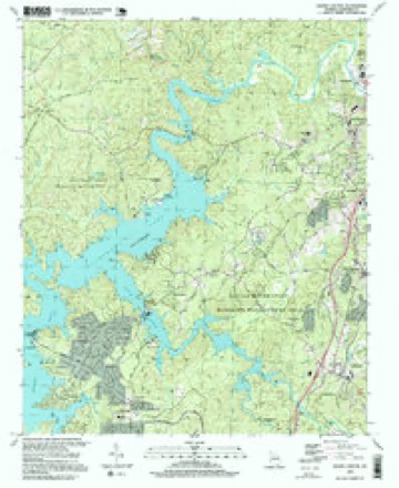
22 topographic sheets cover this place, the earliest surveyed in 1890 and the latest in 1997. It stands in the Holly Springs census division. It lies in ZIP code area 30114. It stands on Blankets Creek. The Survey maps it on the South Canton quadrangle.
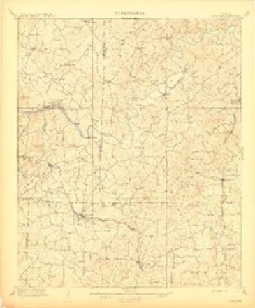
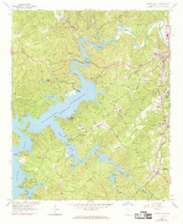
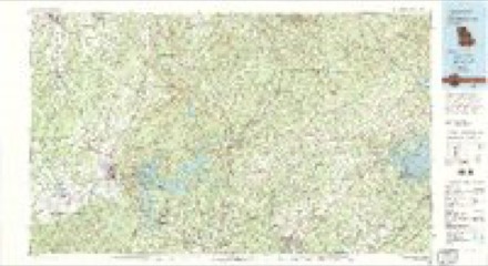
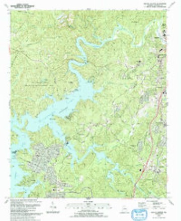
Topographic sheets covering this place
13 surveys from 22 printed sheetsMatched by testing this settlement's coordinate against the published boundary of every sheet in the United States Geological Survey's historical collection. Each opens the scanned sheet at the Survey.
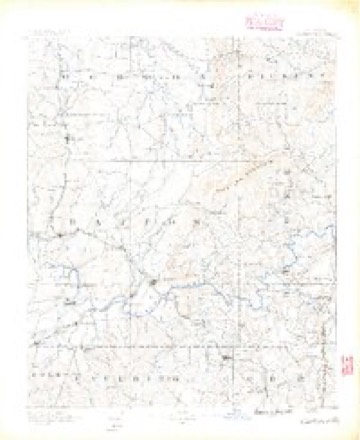
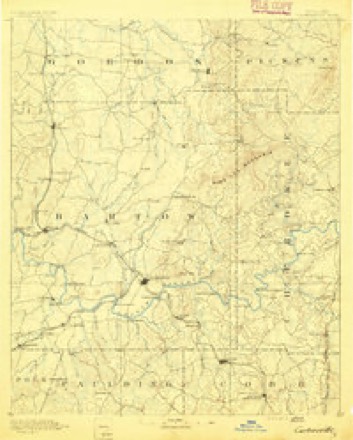
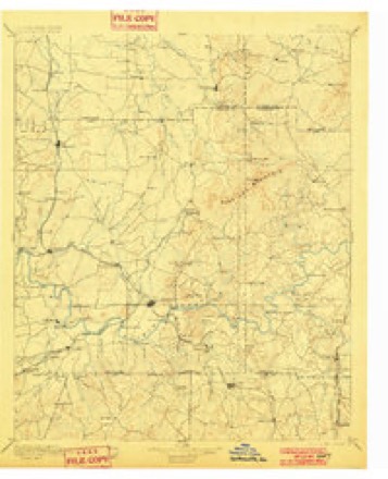
- 1890 USGS Cartersville quadrangle1:125000
- 1891 USGS Cartersville quadrangle1:125000
- 1896 USGS Cartersville quadrangle1:125000, 4 printings
- 1907 USGS Acworth quadrangle1:62500
- 1909 USGS Acworth quadrangle1:62500
- 1955 USGS Rome quadrangle1:250000
- 1958 USGS Rome quadrangle1:250000, 3 printings
- 1961 USGS Rome quadrangle1:250000
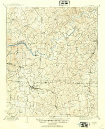
- 1961 USGS South Canton quadrangle1:24000, 4 printings
- 1963 USGS Rome quadrangle1:250000
- 1981 USGS Cartersville quadrangle1:100000, 2 printings
- 1993 USGS South Canton quadrangle1:24000
- 1997 USGS South Canton quadrangle1:24000




Photographs
1 photograph,Taken for the Office of War Information and the Farm Security Administration, who photographed the country between 1935 and 1944. Works of United States government photographers, with no known restriction on use. Each opens its catalogue record.
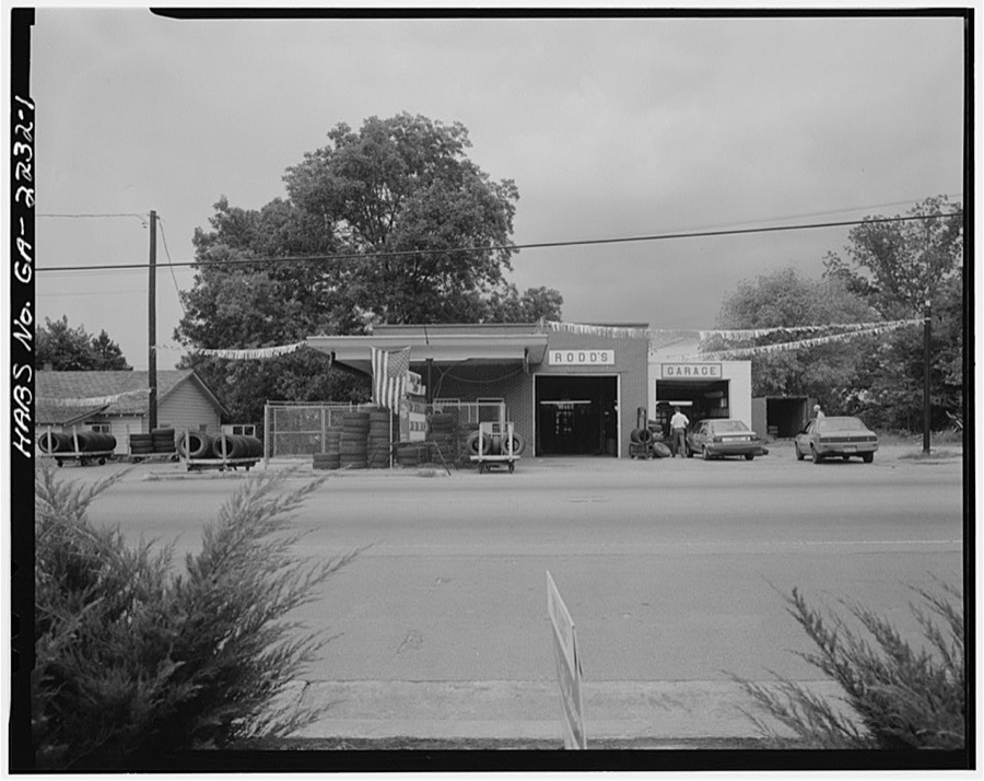
Photographer not recorded. Library of Congress
Fires near this place
381 since 1992Regional context, not property-specific evidence. The federal wildfire occurrence database lists 381 fires within 5 miles of Cherokee between 1992 and 2018, burning about 1,062 acres in total. 5 started naturally. 109 were recorded as arson. Distance is straight-line from the map coordinates, so a fire counted here may appear on a neighbouring settlement's page as well.
| Reported cause | Fires |
|---|---|
| Arson/incendiarism | 109 |
| Debris and open burning | 107 |
| Misuse of fire by a minor | 47 |
| Railroad operations and maintenance | 35 |
| Missing data/not specified/undetermined | 29 |
| Equipment and vehicle use | 19 |
| Recreation and ceremony | 19 |
| Smoking | 11 |
| Natural | 5 |
The most recent of them, most recent first, with the day each was reported and the service that recorded it.
| Date | Cause | Size | Reported by | Name on the report |
|---|---|---|---|---|
| 6 September 1997 | Missing data/not specified/undetermined | 1.7 acres | Georgia Forestry Commission | not named |
| 5 September 1997 | Arson/incendiarism | 1.1 acres | Georgia Forestry Commission | not named |
| 5 September 1997 | Arson/incendiarism | under an acre | Georgia Forestry Commission | not named |
| 28 September 2007 | Missing data/not specified/undetermined | under an acre | Georgia Forestry Commission | not named |
| 27 September 2000 | Debris and open burning | under an acre | Georgia Forestry Commission | FY2001-CHEROKEE-025 |
| 26 September 2005 | Misuse of fire by a minor | under an acre | Georgia Forestry Commission | not named |
| 23 September 2005 | Arson/incendiarism | under an acre | Georgia Forestry Commission | not named |
| 21 September 2010 | Misuse of fire by a minor | 1.0 acres | Georgia Forestry Commission | FY2011-CHEROKEE-005 |
Settlements close enough to share some of these fires:
Mines and quarries near this place
10 of 28 shownRegional context, not property-specific evidence. The federal mineral resources record lists 28 workings within 5 miles of Cherokee: 14 past producers, 14 prospects. None of them still produces. What was taken out: Gold, Mica, Iron, Manganese. Distance is straight-line from the map coordinates, so a quarry counted here may appear on a neighbouring settlement's page as well.
| Where | Site | Commodity | Status | Recorded |
|---|---|---|---|---|
| Bell-Star Mine | Iron, Manganese | Prospect | 1918 | |
| Dean Mine | Mica | Past Producer | ||
| Delay Prospect | Mica | Prospect | ||
| Hause Mines | Mica | Past Producer | ||
| J D Hillhouse Mines | Mica | Past Producer | ||
| R M Reece Prospect | Mica | Prospect | ||
| Wacaster Mine | Mica | Past Producer | ||
| Bell-Star | Gold | Past Producer | Vein | |
| Casteel Mine | Gold | Prospect | Vein | |
| Cherokee Mine | Gold | Past Producer | Vein |
Storms near this place
16 since 1998Regional context, not property-specific evidence. The National Weather Service names Cherokee in 16 storm reports between 1998 and 2026: 9 thunderstorm wind, 6 hail, 1 lightning. No death or injury is recorded in these reports. Each account below is quoted exactly as the forecast office filed it, from the NOAA Storm Events Database, and each date opens the federal record of that event.
| When | Event | Place named | Harm | What the report says |
|---|---|---|---|---|
| May 2008 | Hail | Cherokee | $5,000,000 | The Cherokee County Emergency Management Director observed baseball-sized hail fell just south of Holly Springs. The public reported penny-sized hail in Woodstock. Ping-pong ball-sized hail fell near the Bartow/Cherokee county line west of Cherokee. Radar supported that large hail, nickel-size or larger, fell across a large swath of the southern half of Cherokee county from near Lake Allatoona across Holly Springs, Lebanon, and Woodstock. |
| March 2008 | Hail | Cherokee | $5,000,000 | Numerous reports of large damaging hail were received from the Cherokee County Emergency Management Director and the public from southern and eastern Cherokee county. The hail began in the southwest part of the county between Canton and Cherokee, where the Emergency Manager reported quarter-sized hail. Shortly thereafter, the Emergency Manager and the public reported golf ball-sized hail in the Holly Springs area. As the thunderstorm continued on its east-northeastward track, hail up to the size of baseballs was reported by the Emergency Manager from the Buffington and Free Home areas. |
| February 2008 | Thunderstorm Wind | Cherokee | $330,000 | The Cherokee County Emergency Management Director reported that straight-line winds of 60 to 70 mph accompanied a line of thunderstorms that moved across the county. While damage was scattered across many areas of the central and southern parts of the county, there were two more concentrated areas of damage in the southern part of the county. In southwest Cherokee near the intersection of Georgia Highway 92 and Woodstock Roads. Many trees were blown down in this general area with a number of large trees down on the parking lot of the Oak Grove Elementary School. One house was hit by a falling tree and windows were blown out of a business office at the Rolling Hills Cemetery. About two miles further to the northeast at the Shadowood Mobile Home Park, four mobile homes were destroyed and 12 were heavily damaged. Numerous trees and power lines were reported down across the southern portion of the county and power outages were widespread. |
| May 1998 | Hail | Cherokee | $75,000 | Large hail as big as softballs was reported across southern Cherokee county causing damage to cars and RVs. Skylights and glass panels were damaged and destroyed at a hardware store in Woodstock. |
| August 2023 | Thunderstorm Wind | Cherokee | $5,000 | Multiple trees were reported down in the area of Knox Bridge Road at Fields Landing Road. |
| June 2025 | Thunderstorm Wind | Cherokee | $4,000 | The Emergency Manager reported a tree down at a location on Downing Creek Trail, as well as trees and wires down along Pope Drive. |
| August 2023 | Thunderstorm Wind | Cherokee | $3,000 | Trees down along Bells Ferry Road and Holly Street, also near Preston Glen Circle. |
| May 1999 | Hail | Cherokee | $2,500 | The public reported golf ball size hail damaged cars on Interstate 75 near Lake Allatoona. |
| March 2026 | Thunderstorm Wind | Cherokee | $1,000 | Em reports tree down at wooten dr and bells ferry rd. |
| July 2018 | Lightning | Cherokee | $1,000 | The Cherokee County Emergency Manager reported a house struck by lightning on Bridge Mill Avenue. |
| March 2025 | Thunderstorm Wind | Cherokee | - | Report of a tree on a house on the 1800 block of ridge rd. |
| June 2025 | Thunderstorm Wind | Cherokee | - | Several trees down between Oak Grove and Ashley Forest with one on a home just north of Holly St and Ridge St. |
| July 2022 | Thunderstorm Wind | Cherokee | - | Trees down at Sixes Road and Marble Quarry Road. |
| July 2022 | Thunderstorm Wind | Cherokee | - | Report of multiple trees and powerlines down. |
| April 2008 | Hail | Cherokee | - | The Cherokee County Emergency Management Director reported that quarter-sized hail was observed south of Canton. Radar data supported that hail of this size or larger continued across from Red Top Mountain in southeast Bartow county into southwest Cherokee county earlier as the storm was weakening rapidly as it moved south of Canton. |
| May 2006 | Hail | Cherokee | - | The public reported nickel-sized hail. |
Nearest settlements
The eight closest, with where each one stands in the county. Distances are straight-line, computed from the Geographic Names Information System coordinates.
| Map | Place | Distance | Sheets |
|---|---|---|---|
| Little River Landing | 0.6 miles | 22 | |
| Fields Landing | 2.0 miles | 22 | |
| Victoria Landing | 2.9 miles | 22 | |
| Victoria | 3.0 miles | 22 | |
| Southfork | 3.3 miles | 23 | |
| The Arbors | 3.3 miles | 23 | |
| Heritage Place | 3.3 miles | 23 | |
| Kellogg Creek North | 3.6 miles | 23 |
Provenance
This settlement is recorded in the Geographic Names Information System as feature 331382. The sheet list is computed by point-in-boundary test against the United States Geological Survey's historical topographic inventory. Both are works of the United States government and carry no copyright under 17 U.S.C. 105.
Wildfire. Short, Karen C. 2022. Spatial wildfire occurrence data for the United States, 1992-2020 [FPA_FOD_20221014]. 6th Edition. Fort Collins, CO: Forest Service Research Data Archive. https://doi.org/10.2737/RDS-2013-0009.6 Collected with United States Government funding and usable without additional permissions or fees.
Mines and quarries. USGS Mineral Resources Data System (MRDS) https://mrdata.usgs.gov/mrds/ A work of the United States government, no copyright under 17 U.S.C. 105.
Storms. NOAA National Centers for Environmental Information, Storm Events Database https://www.ncei.noaa.gov/stormevents/ A work of the United States government, no copyright under 17 U.S.C. 105. Narratives are quoted verbatim from the National Weather Service report and are not edited or summarised.