 Block
From the record
9 National Register listings published here.
Sources: the National Register database, National Park Service
92 topographic sheets and 3 fire insurance atlases across 1 place.
9 National Register listings published here.
Sources: the National Register database, National Park Service
Taken for the Office of War Information and the Farm Security Administration, who photographed the country between 1935 and 1944. Works of United States government photographers, with no known restriction on use. Each opens its catalogue record.
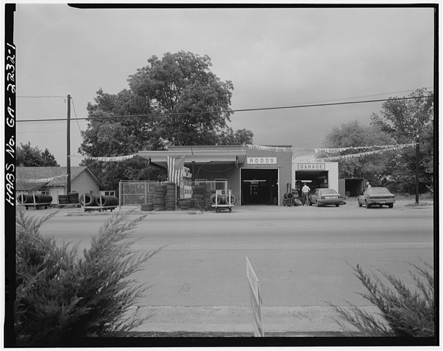

Every property in this county listed on the National Register of Historic Places, with the year it was listed and the federal nomination document.
| Photograph | Property | Type | Listed | Reference |
|---|---|---|---|---|
 | Ball Ground Historic District | district | 2009 | 09001057 |
 | Canton Commercial Historic District | district | 1984 | 84000962 |
 | Canton Cotton Mills No. 2 | building | 2002 | 02000293 |
 | Canton Historic District | district | 2010 | 10000803 |
 | Canton Wholesale Company Building | building | 1997 | 97001421 |
 | Cherokee County Courthouse | building | 1981 | 81000198 |
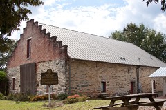 | Crescent Farm | building | 1989 | 89002032 |
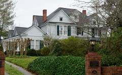 | Alfred W. Roberts House | building | 1985 | 85002313 |
 | Woodstock Depot | building | 1995 | 95000736 |
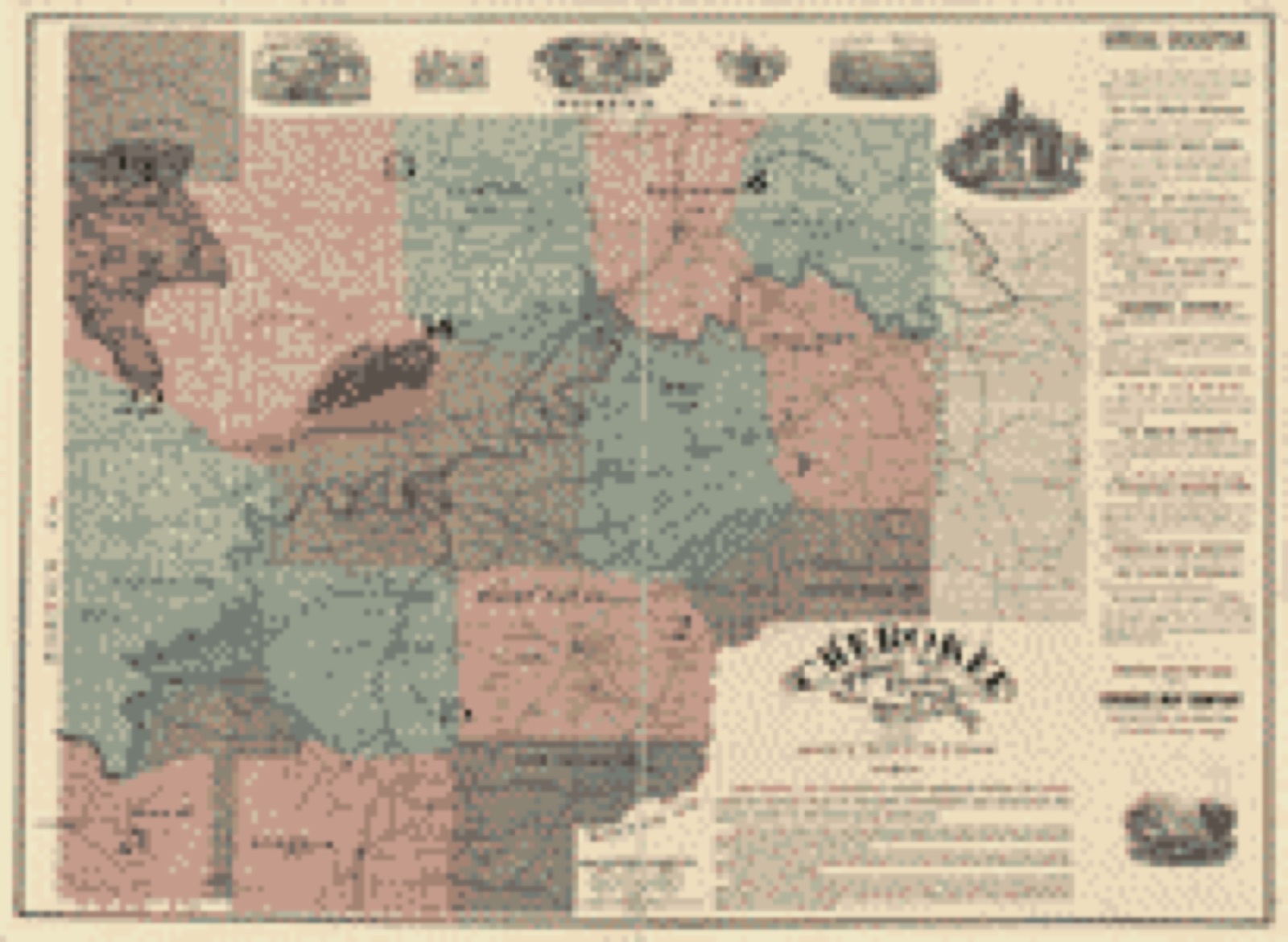
Drawn when these were printed as single large sheets: the town seen from the air, and the county divided into its farms with every owner named. Each opens the original at the Library of Congress.
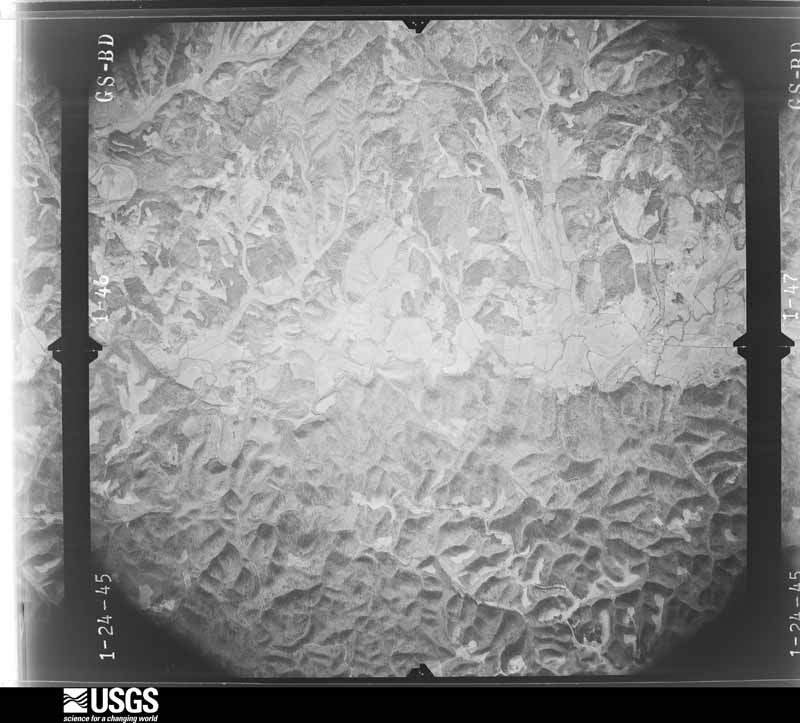
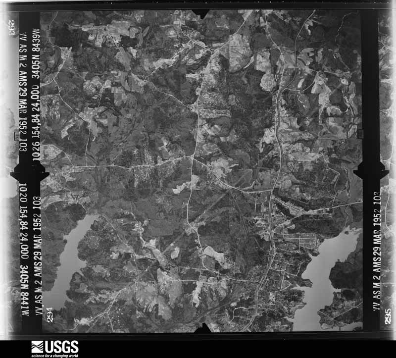
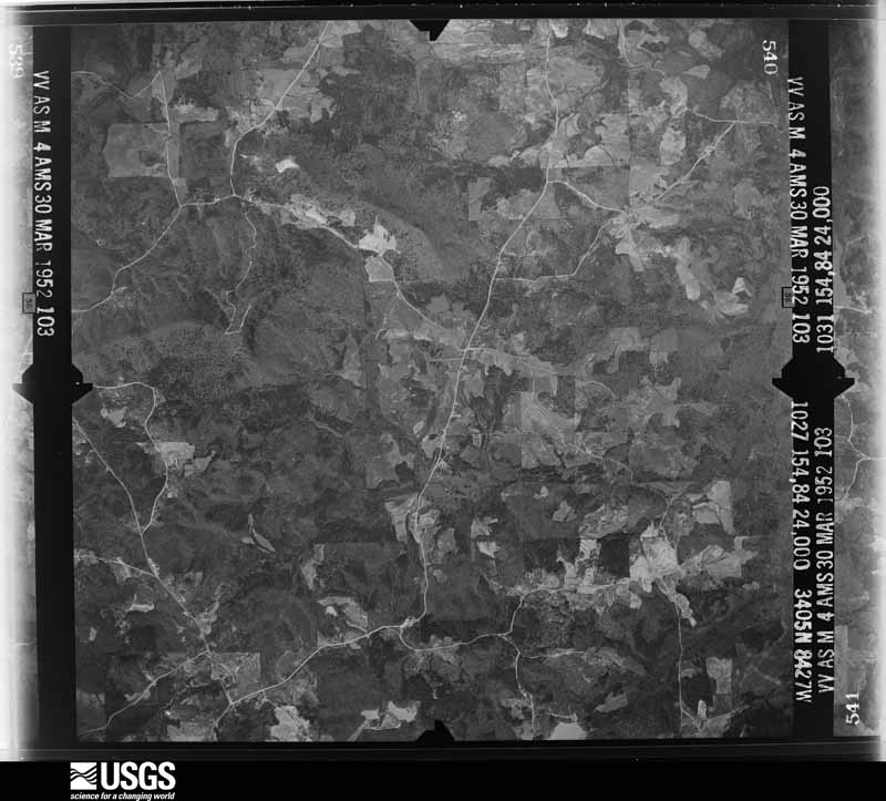
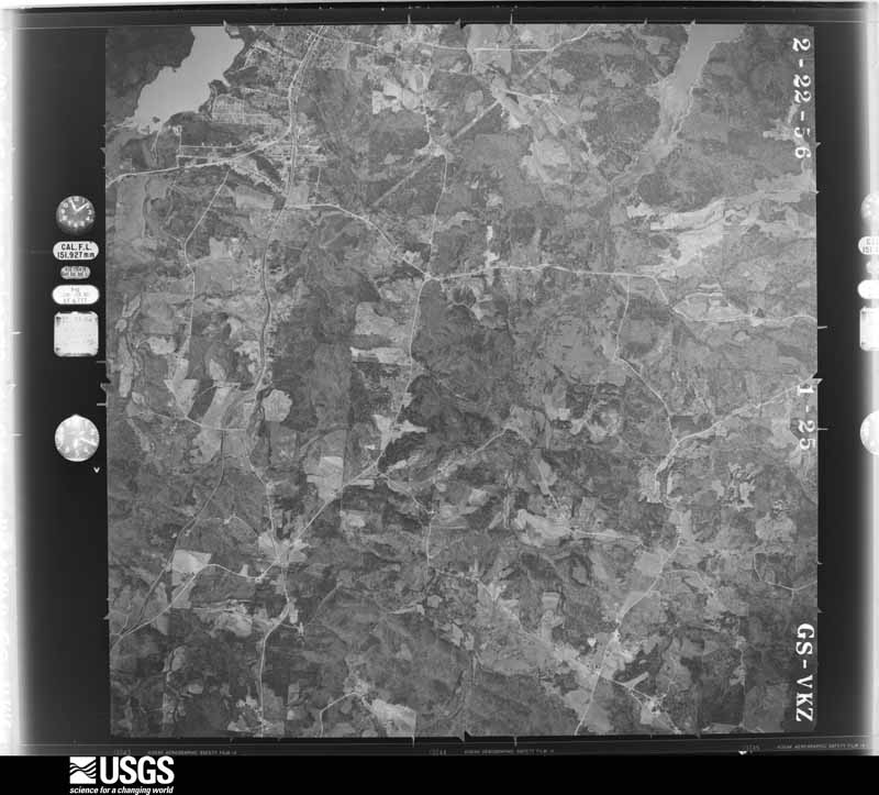
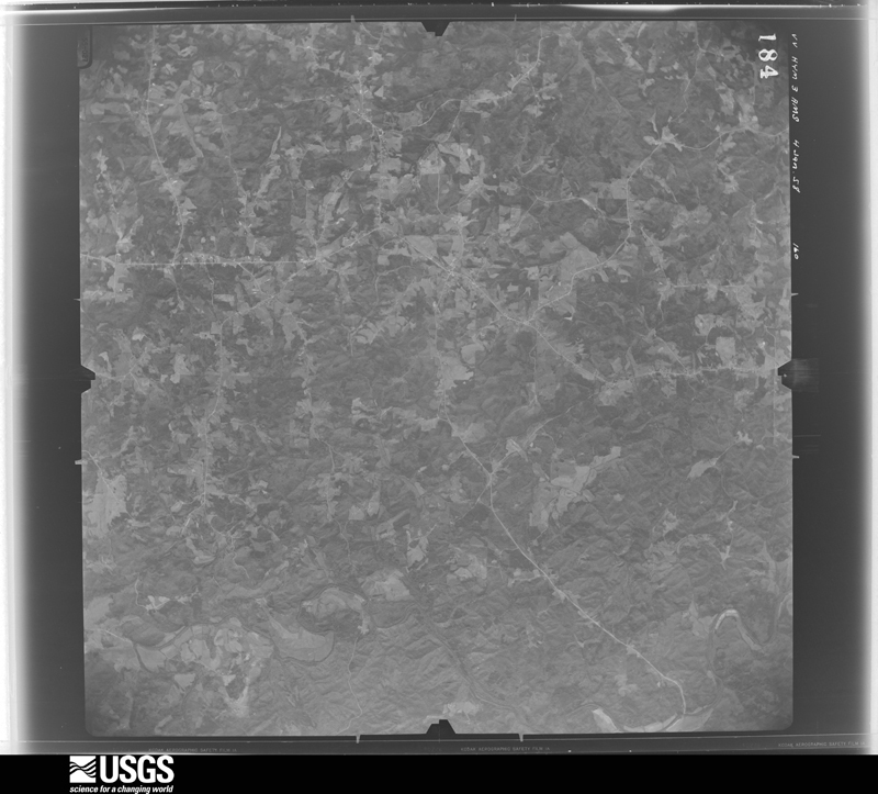
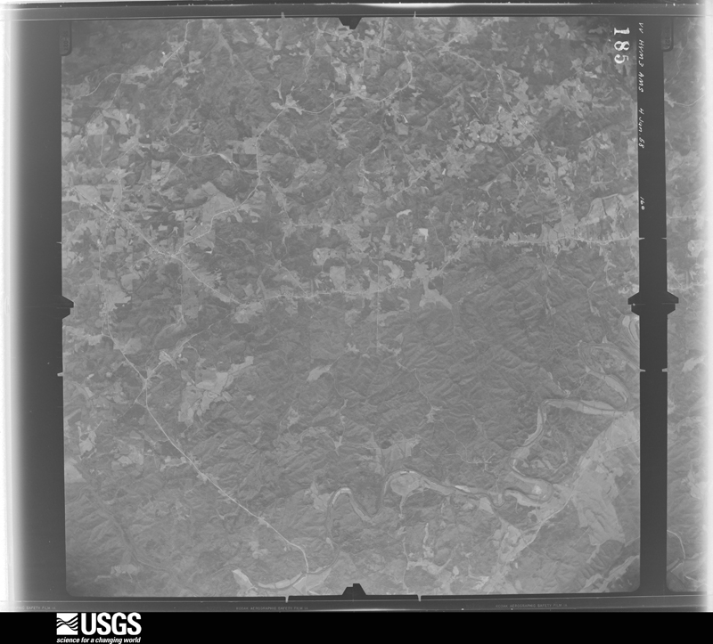
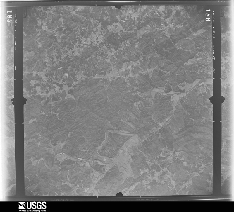
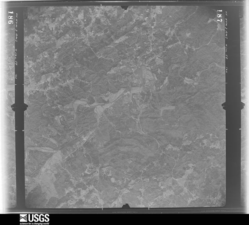
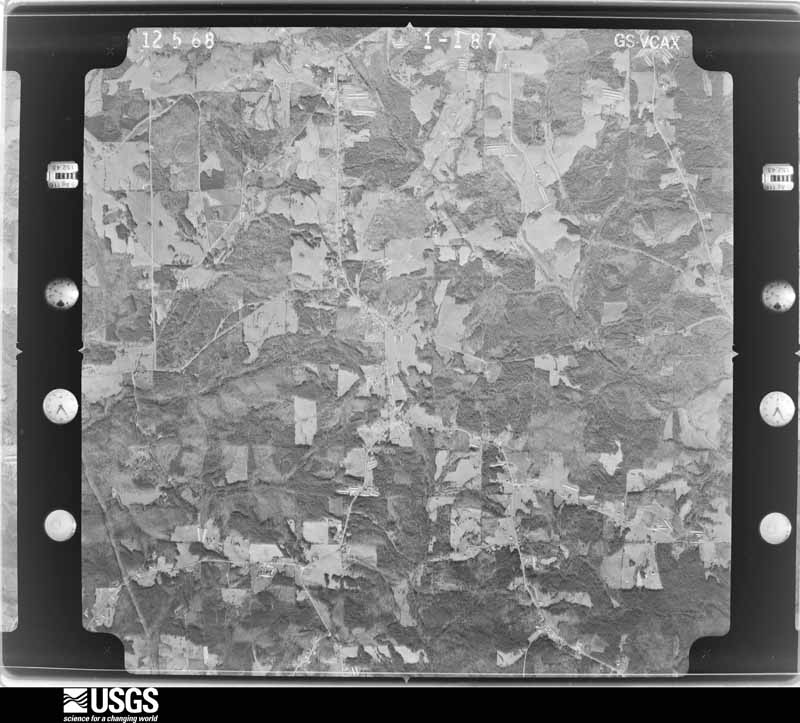
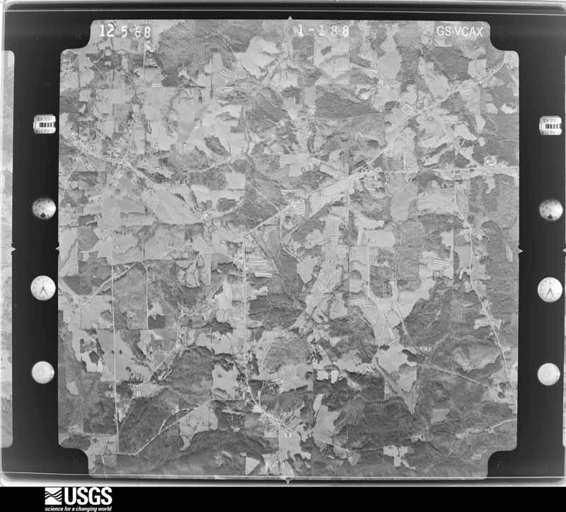
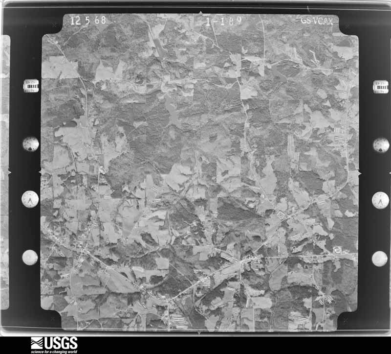
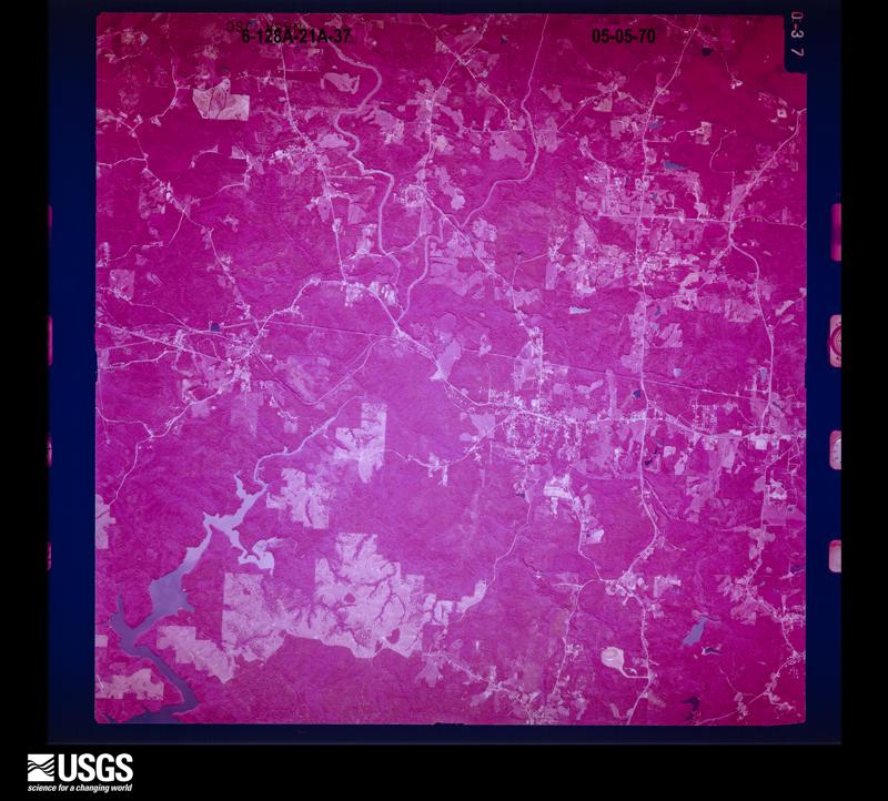
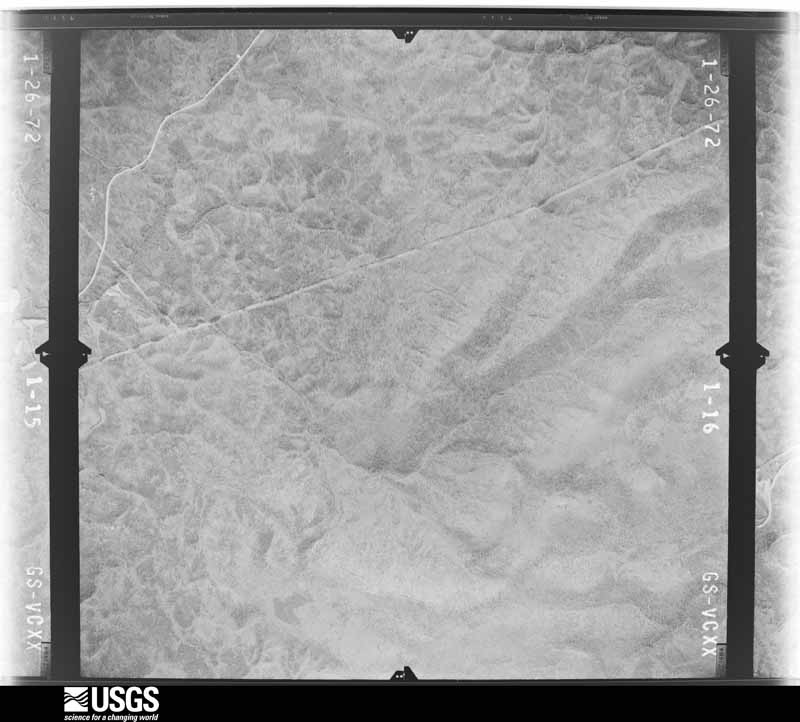
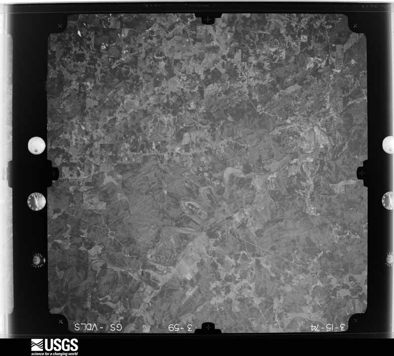
Flown by the U.S. Geological Survey between 1937 and 1989, the Aerial Photo Single Frames collection is the definitive mid-century view of the land: fields, roads and rivers as the camera saw them. The Survey holds 873 frames inside the rectangle that bounds this county; the 48 frames below were taken over the county itself, chosen across the decades of flights (at most four a year from that rectangle), so one flight cannot crowd out the rest. The full set is free to browse and download at EarthExplorer under the dataset Aerial Photo Single Frames.
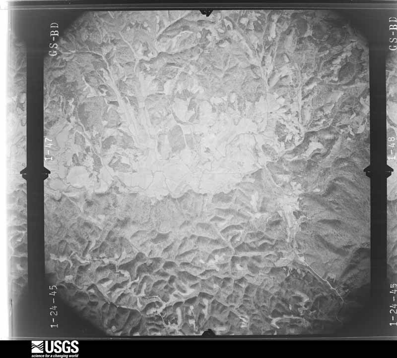
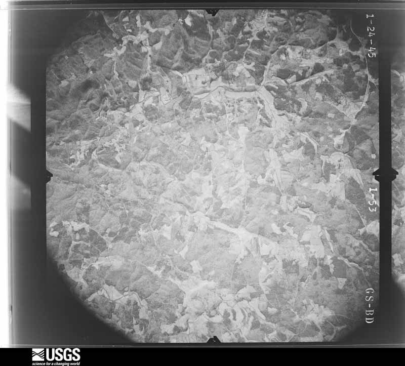
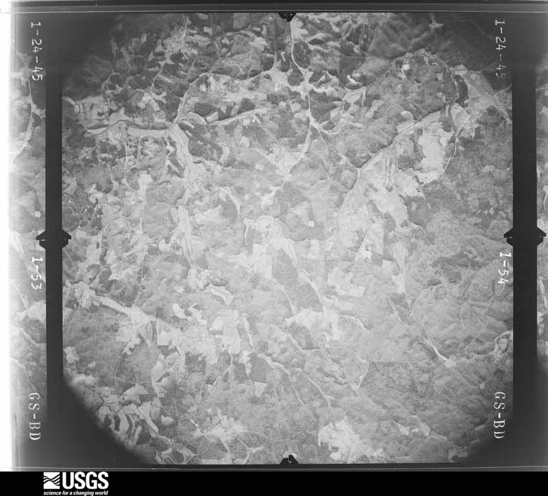



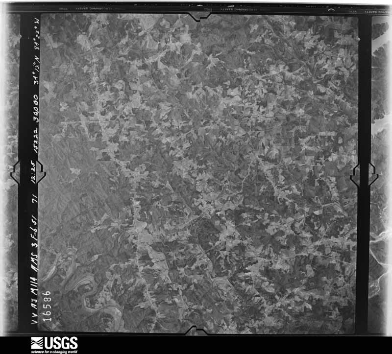


















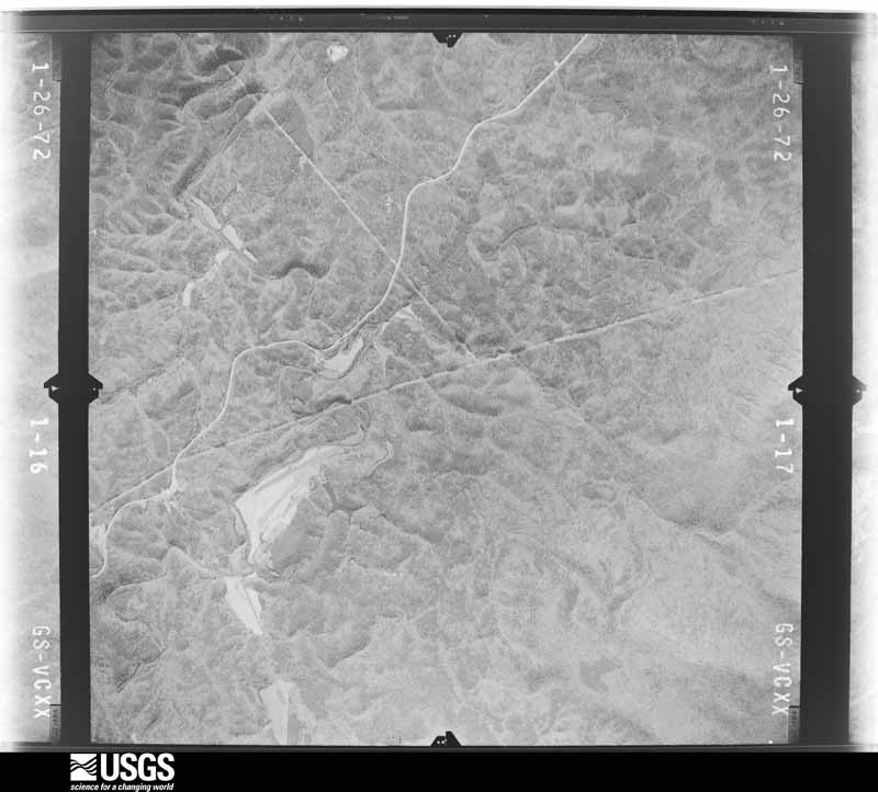
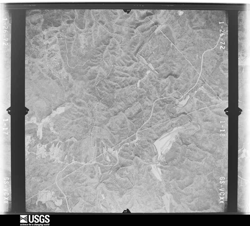
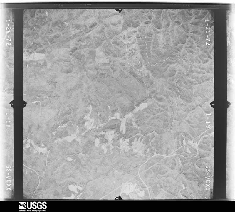

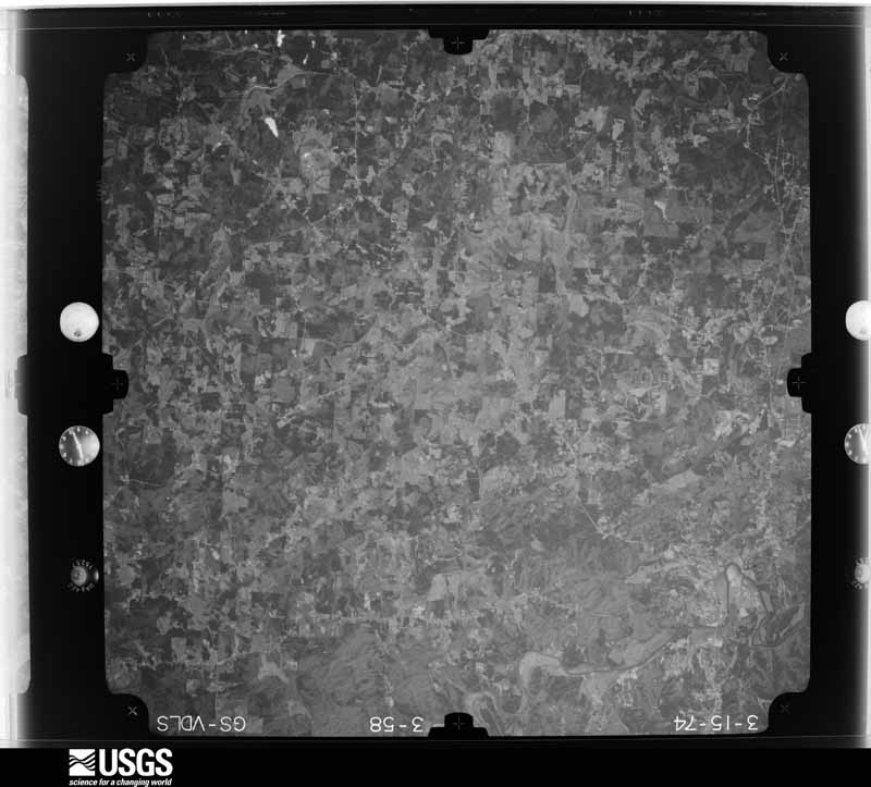




The thermometers that kept this county's weather, and the gages that measured the flow of its streams, as the federal records hold them. The extremes below are measured values from those records, not estimates.
Who lived here in 1950, one enumeration district at a time, as the Census Bureau described each district. Each row opens its official National Archives result, with Population Schedules and ED Maps available there.
Every wildfire the federal occurrence database records inside this county: 1,627 of them, burning about 4,118 acres. 30 started naturally and 451 were recorded as arson. Each settlement page carries the fires within five miles of it.
| Reported cause | Fires |
|---|---|
| Debris and open burning | 659 |
| Arson/incendiarism | 451 |
| Misuse of fire by a minor | 132 |
| Missing data/not specified/undetermined | 111 |
| Equipment and vehicle use | 69 |
| Recreation and ceremony | 60 |
| Smoking | 58 |
| Railroad operations and maintenance | 57 |
| Natural | 30 |
The five largest, by the area the report gives. Four of them were set deliberately.
| Date | Cause | Size | Reported by | Name on the report |
|---|---|---|---|---|
| 10 April 2007 | Debris and open burning | 126 acres | Georgia Forestry Commission | not named |
| 20 January 1997 | Arson/incendiarism | 67 acres | Georgia Forestry Commission | not named |
| 28 March 1998 | Arson/incendiarism | 66 acres | Georgia Forestry Commission | not named |
| 6 April 2003 | Debris and open burning | 65 acres | Georgia Forestry Commission | not named |
| 10 December 1996 | Arson/incendiarism | 64 acres | Georgia Forestry Commission | not named |
| 12 March 1998 | Misuse of fire by a minor | 53 acres | Georgia Forestry Commission | not named |
| 4 September 1997 | Arson/incendiarism | 50 acres | Georgia Forestry Commission | not named |
| 23 March 2011 | Missing data/not specified/undetermined | 49 acres | Georgia Forestry Commission | FY2011-CHEROKEE-025 |
Every settlement page carries the fires within five miles of it - see the settlement index below.
The NOAA Storm Events Database holds 631 reports for this county, causing 2 deaths, 51 injuries and about $180,907,400 in recorded property damage. Each settlement page carries the reports that name it.
| Kind of event | Reports |
|---|---|
| Thunderstorm Wind | 344 |
| Hail | 170 |
| Lightning | 54 |
| Tornado | 29 |
| Flash Flood | 18 |
| Flood | 7 |
| Funnel Cloud | 6 |
| Winter Storm | 2 |
| Heavy Rain | 1 |
The most serious of them, by death, then injury, then recorded damage. The accounts are quoted exactly as the forecast office filed them.
| When | Event | Place named | Harm | What the report says |
|---|---|---|---|---|
| April 1989 | Thunderstorm Wind | not stated | 1 killed, 1 hurt | no account filed |
| July 2024 | Thunderstorm Wind | Hickory Flat | 1 killed, $1,000 | Tree down on vehicle along Vaughn Road, 0.2 miles south of Millstone Way. |
| November 1992 | Tornado (F4) | not stated | 12 hurt, $2,500,000 | no account filed |
| August 2000 | Lightning | Woodstock | 6 hurt, $30,000 | The Atlanta Journal and Constitution reported that lightning injured six people and set one house on fire. One person was injured in his Woodstock house when a lightning bolt traveled through the electrical wiring of a lamp located on the piano he was playing. He was knocked unconscious for some time. Two women boating on Lake Allatoona were struck and injured by lightning. Finally, a house was set on fire and three people were injured in the Woodstock area when lightning struck the house. Damage to the house was confined mainly to the roof and attic. All of the injured were treated and released. None of the injuries were reported to be life-threatening. |
| May 2008 | Tornado (EF1) | Lebanon | 4 hurt, $46,000,000 | A damage survey conducted by the National Weather Service Forecast Office in Peachtree City, Georgia concluded that an EF1 tornado touched down near the intersection of Interstate-575 and Sixes Road and traveled on the ground approximately 5-6 miles ending near the intersection of Georgia Highway 92 and Wigley Road. The maximum path width of the tornado was approximately one mile wide with maximum winds estimated to be 95 mph. The Falton Lakes Mobile Home Park sustained significant damage with substantial damage to many site-built homes also observed in the East Cherokee Drive Area.||Overall damage consisted of 60 destroyed homes, 35 of which were site-built and 25 were mobile. Twenty-five additional mobile homes sustained minor damage. In addition to the 35 destroyed site-built homes, 391 additional homes sustained major damage and 588 sustained minor damage. Ten multi-family homes also received minor damage. Minor damage occurred to ten commercial buildings. Four school district buildings sustained major damage as well as 16 mobile school instructional units. Hundreds of trees were down in the area and many power lines were down as well. One indirect death to a 24-year old male and an indirect injury to a female occurred on May 29th when two very large trees fell on two vehicles. These trees were weakened from the tornado that occurred on May 20th. |
| September 2004 | Tornado (F1) | Orange | 4 hurt, $300,000 | The Cherokee County Emergency Management Director reported that a brief F1 tornado occurred at the end of a path of extensive damage caused by strong straight-lined winds. The tornado touched down near Georgia Highway 20, also known as Cumming Highway, near the town of White City about 8 miles east of Canton. The tornado continued north to north-northwest, roughly centered along Jack Page Lane, for about 1 mile before lifting. The damage path was determined to be approximately 400 yards wide. Dozens of trees were blown down in this area in a convergent pattern. Four people were injured on Georgia Highway 20 when trees fell on their vehicles during the tornado. North of Georgia Highway 20 and mostly west of Jack Page Lane, six homes suffered extensive damage, mostly from fallen trees. |
| February 2001 | Thunderstorm Wind | Woodstock | 4 hurt, $35,000 | The Cherokee county Emergency Management Director reported that glass was blown out of a building in Woodstock injuring four people. Two trees were blown down on a car, and numerous other trees were blown down in the Woodstock area, many on power lines. An amateur radio operator reported that traffic signals were blown down on Georgia Highway 92 at Interstate 575. Much of the damage occurred near Georgia Highway 92. |
| November 1988 | Thunderstorm Wind | not stated | 3 hurt | no account filed |
| April 2009 | Tornado (EF1) | Woodstock | 2 hurt, $5,000,000 | A damage survey conducted by the National Weather Service Forecast Office in Peachtree City, Georgia confirmed that an EF1 tornado touched down in far southeast Cherokee county near the Cobb county line in the Woodstock area. The tornado touched down near the intersection of Georgia Highway 92 and Dial Drive, then continued north-northeast along Dial Drive crossing a large section of Coleman's Bluff. The tornado lifted just south of the intersection of Windcrest Court and River Chase Drive. The total path length of the tornado was 1.5 miles with a maximum path width of 1/2 mile or 880 yards. Maximum winds were estimated to be 90 mph. EF1 tornado damage to trees and structures was observed along a 3/4 mile-long path paralleling Dial Drive beginning just north of its intersection with Georgia Highway 92. Damage was observed to 120 homes along the path of the tornado, 12 of which were completely destroyed. The majority of the damage took place in the Coleman's Bluff area. Most of the damage was the result of large trees falling on the structures. Two residents of the affected homes were injured by debris. |
| September 2004 | Flash Flood | Countywide | 2 hurt, $1,000,000 | The Cherokee County Emergency Management Director, as well as many reports from the public, indicated that extensive and widespread flooding was occurring throughout much of Cherokee county as rainfall on the order of 10 inches or more fell throughout the county during the afternoon and early evening hours. Many roads were flooded and closed. Several roads were washed out and rendered impassable. Several homes and businesses were flooded as well. A car was swept 250 yards down an un-named creek flowing under Water Tank Road. The creek rose over 10 feet out of its banks. The creek is usually only about one foot deep. The single occupant of the vehicle was rescued by emergency personnel without injury. In another incident, a Sherrif's Deputy narrowly escaped from her patrol vehicle as it was swept down a swollen stream. She was attempting to set up a road block because of road flooding. She was able to escape through one of the windows and to the safety of a tree. Major flooding was observed on the upper branch of Town Creek in Canton. Several buildings were washed into the road by the creek as it reached its 100-year flood plain extent. Two residents of the county were injured during the flash floods. |
| June 2013 | Tornado (EF1) | Waleska | 2 hurt, $60,000 | A National Weather Service storm survey team determined that an EF-1 tornado touched down near the intersection of Patriot Trail and Rampley Trail, causing mainly tree damage as it headed southeast toward Canton. Along Marietta Road and Hickory Flat Highway, a Chevron gas station sustained roof damage, and a gas pump was blown over. Dozens of trees were snapped or uprooted. The tornado then headed south-southeast causing additional tree damage, lifting near the intersection of New Light Road and Hickory Road. Two minor injuries occurred in Canton as a result of trees falling.|[06/13/13: Tornado #1, County #1-1, EF1, Cherokee, 2013:011]. |
| January 2014 | Thunderstorm Wind | Oak Grove | 2 hurt, $50,000 | The Cherokee County Emergency Manager reported that several trees were blown down in an area west of Woodstock. One tree fell on a home, trapping and injuring two occupants. |
| September 2011 | Tornado (EF1) | Woodstock | 1 hurt, $17,000,000 | A damage survey conducted by the National Weather Service Forecast Office in Peachtree City, Georgia and the Cherokee County Emergency Manager confirmed that an EF1 tornado, spawned by strong shear associated with the remnants of Tropical Storm Lee, touched down in southern Cherokee county, just south of the Dixie Speedway, or just west of Woodstock, then tracked north-northeast across eastern Cherokee county before moving into southeastern Pickens county near the city of Nelson. The tornado, with a semi-continuous path nearly 24 miles long across Cherokee county, had a maximum path width of 1/4 mile and maximum wind gusts of 90 mph. The tornado caused extensive damage to homes and business across eastern Cherokee county. The Brookshire and Town Lake Hills South subdivisions sustained much of the structural damage within the county. The Dixie Speedway, just west of Woodstock, suffered extensive damage as well. A number of recreational vehicles and boats were parked at the facility in anticipation of an event. Dozens of these were overturned and destroyed by the tornado. Over 600 single-family homes sustained some form of structural damage, with seven of these homes completely destroyed. One injury was confirmed at one of the heavily damaged homes. A total of 148 homes sustained major damage and 269 sustained minor damage. In addition, six apartment units sustained damage, with three of these classified as having major damage. Twenty commercial businesses were affected by the tornado, three of which were destroyed. Sixteen of these businesses suffered major damage. Finally, three churches sustained damage, two of which suffered major damage. In addition to the structural damage, hundreds of trees were damaged or destroyed by the tornado, many of which subsequently caused damage to adjacent structures and dozens of vehicles.||[09/05/11: Tornado #1, County #1-2, EF1, Cherokee-Pickens, 2011:025]. |
| February 2011 | Thunderstorm Wind | Waleska | 1 hurt, $500,000 | The Cherokee County Emergency Management Director reported that dozens of trees were down across the county from strong straight-line thunderstorm winds, including areas around Waleska, Ball Ground, Canton, and Woodstock. A total of 15 homes across the county were damaged from downed trees, including two with major damage and four others with moderate damage. A middle-aged female was injured at one of the badly damaged homes when a large pine tree fell on her home. Amateur radio operators reported that the back wall of a building on Cherokee Drive in Ball Ground was blown down. Widespread power outages were also observed, especially in the Woodstock area. |
| July 2004 | Lightning | Canton | 1 hurt, $400,000 | The Cherokee Tribune reported that a male was struck by lightning. The man was treated and released. Elsewhere in the county, lightning struck three homes as well as the building which houses the 911 center and jail. The 911 center and jail suffered major damage when lightning struck the facility. Damages to these facilities alone was estimated at $200,000. A house on Shotwell Drive was struck by lightning and the attic set on fire. Another home on Bradshaw Club Drive suffered major damage to the roof and second floor from a lightning strike and resulting fire. A third home on Tribal Trail took a direct hit from lightning. The garage suffered considerable damage when it was set on fire. Much of Canton was without power for several hours during the intense lightning storm. |
| August 2008 | Lightning | Canton | 1 hurt, $350,000 | The Cherokee County Emergency Management Director reported that an individual was struck by lightning seven miles southwest of Canton and sustained non life-threatening injuries. In addition, two homes in the southwest and southern part of the county were struck by lightning and set on fire, One of the homes was in the Towne Lake Subdivision on Players Court and was totally destroyed. The Cherokee Tribune reported that up to 134 homes in the area sustained at least minor damage from wind and/or lightning. |
| August 2008 | Thunderstorm Wind | Canton | 1 hurt, $150,000 | The Cherokee County Emergency Management Director reported that thunderstorm downburst winds blew down dozens of trees on the east and north side of Lake Allatoona. A number of trees were also down between the eastern side of Lake Allatoona and Woodstock as well. Several campers were damaged at the Sweetwater Campground and one person at the campground sustained non-life threatening injuries when a large tree fell on their tent. In addition, playground equipment was damaged at a park in Woodstock from a large downed tree. Several roads were blocked from downed trees and many power lines and also down in the area. Up to 25,000 people in the area were left without power for several hours following the storm. The Cherokee Tribune reported that up to 134 homes in the area sustained at least minor damage from wind and/or lightning. |
| September 2014 | Thunderstorm Wind | Canton | 1 hurt, $2,000 | The Cherokee County Emergency Manager reported a tree blown down on a house on Killian Road with one minor injury to an occupant of the house. |
| June 2022 | Thunderstorm Wind | Victoria | 1 hurt | One minor injury was reported when a tree fell onto a mobile home off of Victoria Rd near Bells Ferry Rd. |
| August 2002 | Lightning | Waleska | 1 hurt | The Cherokee county 911 center reported that lightning struck near a security guard. While it was not a direct hit, the lightning was in close enough proximity to cause the man to become weak, have a rapid heart beat, and have difficulty breathing. |
| August 2000 | Lightning | Holly Spgs | 1 hurt | An Atlanta television station meteorologist, as well as the Atlanta Journal and Constitution, reported that a 19-year old male was injured by lightning while talking on the telephone. The surge of electricity burned the teenager's hands and feet, but the injuries were not reported to be serious. |
| September 2009 | Flood | Greeley | $44,520,000 | Cherokee county emergency management personnel and USGS stream gages confirmed that major to record flooding continued across much of the county. Hundreds of homes, apartments, businesses, and roads sustained damages from flooding. A number of culverts and/or bridges were washed out and several roads were closed, including portions of Interstate-575 near Woodstock. Flood waters began to recede after 830 am EDT on the 22nd, but many locations remained in major to record flood through 830 am EDT on the 23rd. Monetary damage from flooding continued to mount, with damages exceeding $44.5 million during this time frame, one of the highest flood damage amounts reported during this period of historical flooding. |
| September 2009 | Flood | Greeley | $8,480,000 | USGS stream gages on Settingdown Creek near Free Home and on Sharp Mountain Creek near Ballground both exceeded their flood stages of 13 and 18 feet, respectively. The former occurred at 441 pm EDT and the later at 825 pm EDT. Significant flooding was reported throughout the county, impacting roads, homes, apartments, and businesses. Monetary damage was estimated to be near $9 million during this time frame. |
| May 2008 | Hail | Cherokee | $5,000,000 | The Cherokee County Emergency Management Director observed baseball-sized hail fell just south of Holly Springs. The public reported penny-sized hail in Woodstock. Ping-pong ball-sized hail fell near the Bartow/Cherokee county line west of Cherokee. Radar supported that large hail, nickel-size or larger, fell across a large swath of the southern half of Cherokee county from near Lake Allatoona across Holly Springs, Lebanon, and Woodstock. |
| March 2008 | Hail | Cherokee | $5,000,000 | Numerous reports of large damaging hail were received from the Cherokee County Emergency Management Director and the public from southern and eastern Cherokee county. The hail began in the southwest part of the county between Canton and Cherokee, where the Emergency Manager reported quarter-sized hail. Shortly thereafter, the Emergency Manager and the public reported golf ball-sized hail in the Holly Springs area. As the thunderstorm continued on its east-northeastward track, hail up to the size of baseballs was reported by the Emergency Manager from the Buffington and Free Home areas. |
| February 2005 | Hail | Canton | $4,500,000 | The Cherokee County Emergency Management Director, along with numerous reports from the public, confirmed that a wide swath of large and very damaging hail fell across much of the central portion of Cherokee county from three miles west of Canton to Hickory Flat, southeast of Canton. There were many reports of hail better than 2.0 inches in diameter, with measured hail stones of 2.75 inches from residents along Georgia Highway 140 near Lower Burris Road in Canton. So much large hail fell, that even 15 hours after the event, hail still lined some streets in the Canton area. The public works department had to be called out to clear ice from roadways. Extensive damage to roofs, vegetation, and automobiles were reported throughout the area. On Liberty Boulevard in the northern section of Canton, three very large car dealerships reported that their entire inventory had been damaged with damages in this area alone around $3.0 million. Over 100 privately owned vehicles were damaged at a Wal Mart parking lot located near this location. The city of Canton Police Department reported damages to their vehicles exceeding $40,000. Total damage estimate to homes, vehicles, and vegetation in the area was $4.5 million. This event ranked as the second most costly hail storm in Cherokee County's history. |
| July 2008 | Thunderstorm Wind | Victoria | $3,000,000 | The Cherokee County Emergency Management Director conducted a survey of extensive thunderstorm wind damage across south central Cherokee county in the Towne Lake area, just west and northwest of Woodstock. The damage area, oriented from northwest to southeast, was bounded on the northwest by Eagle Watch Drive and Running Deer Parkway on the southeast, or about one mile west Interstate 75. It was concluded that the damage was caused by thunderstorm downburst winds between 58 and 65 mph. Damage was very extensive with 800 to 100 trees either blown down or snapped in half. Many of the trees fell on residential homes causing significant damage. All together, 196 homes were damaged, 14 sustaining major damage and 132 with minor damage. |
| April 1989 | Tornado (F2) | not stated | $2,500,000 | no account filed |
| April 1985 | Tornado (F2) | not stated | $2,500,000 | no account filed |
| June 2015 | Hail | North Canton | $2,300,000 | The Cherokee County Emergency Manager reported golf ball sized hail at Reinhardt College Parkway and North Etowah Drive. |
| September 2015 | Hail | Woodstock | $2,300,000 | The Woodstock Police Department reported quarter to golf ball sized hail at Towne Lake Parkway and Running Deer Parkway. |
| March 2021 | Hail | South Canton | $2,000,000 | The Cherokee County Emergency manager reported hail the size of golf balls 3 miles southwest of Canton. |
| November 2002 | Tornado (F2) | Waleska | $1,800,000 | A National Weather Service disaster survey team and the Cherokee county Emergency Manager Director observed a 6-mile long path of damage, beginning near Beasley Gap in northwest Cherokee county, then continuing east-northeast toward the town of Worley Crossroads on the Pickens county border. While much of the damage along the path was determined as straight line wind damage with speeds of at least 70 mph, there was definite indication of a multi-segmented tornado. The most significant tornado damage occurred on Salacoa Road near Beasley Gap, where the tornado damage was classified as F2. The damage path was approximately 627 yards wide at its widest point, but the tornadic portion of this damage was limited to around 100 yards wide. Two homes were completely destroyed, three were severely damaged, and six were moderately damaged. Numerous trees and power lines were down along and near the damage path as well. Some livestock was also killed during the event. Cherokee county was one of five counties declared in a state of emergency by the governor. |
| May 2001 | Hail | Countywide | $1,800,000 | Numerous reports of hail ranging in size from dime to baseball were received from the public and the Cherokee county 911 center. This information was later confirmed in an extensive report issued by the Cherokee County Emergency Management Director. Most of the hail fell in the western and northern half of the county and affected the cities of Holly Springs, Waleska, Ball Ground, and Canton. The largest hail fell in a swath across the northern portions of the county from Waleska to Ball Ground, from which numerous reports of golf ball to baseball size hail were received. At Waleska, golf ball to baseball size hail was said to have been 1 1/2 feet deep during the height of the storm. Extensive damage to the roofs of homes and business, as well as vehicles, was reported. |
| November 2004 | Thunderstorm Wind | Canton | $1,700,000 | The Cherokee County Emergency Management Director and associated personnel conducted a damage survey and found a broken path of extensive damage to trees, power lines, structures, and vehicles across central Cherokee county from 6 miles west of Canton to 2.5 miles east of Canton, mostly along and near Georgia Highway 20. Most of the damage was consistent with strong straight-lined winds, with the possible exception of one small area in downtown Canton along Chamblee Street where possible F0 tornado damage was observed. The damage path began near the intersection of Fields Chapel Road and Sweet Water Creek Trail west of Canton where mostly tree damage was observed The damage path continued through the Field Stone Subdivision, where extensive damage to homes and trees was observed. Many homes in this area suffered major damage when large oak trees fell on the structures. Siding was blown off some of the homes and several vehicles in the area were destroyed when large trees fell on them. The damage path then continued eastward along Oak Dale Road in Canton, where several more homes, vehicles, and out buildings were damaged and a number of trees were blown down. In addition, the softball facility at the Cherokee County High School Complex suffered major damage when the roof of the dugout was blown off and 200 feet of a chain link fence was flattened. The damage then continued to Main Street and Brown Street in Canton, where a large downed tree crushed and destroyed 11 vehicles. Shortly beyond this point is where the possible F0 tornado occurred. The damage then continued east of Canton terminating in the Brooke Park Development, where again dozens of large trees were blown down onto homes and vehicles. All together, 115 homes sustained damage, 10 of which incurred major damage, 13 vehicles were destroyed, three others sustained some damage, and 8 outbuildings were damaged, of which four were destroyed. |
| July 2005 | Flash Flood | Woodstock | $1,600,000 | The Cherokee County Emergency Manager reported that flash flooding associated with Noonday Creek, just west of Woodstock, caused extensive damage to the Walden-Chase apartments. Residents of the apartment complex had to be evacuated from the area by boat. Water was up to the first floor level of many of the apartments of the complex. Damages to just one apartment complex alone were estimated at $1,400,000. Businesses and hotels were flooded along Interstate 575 near Georgia Highway 92. At least 15 homes sustained significant damage from flooding. Dozens of cars were completely submerged by the flood waters. A record flood stage of 16.3 feet at 2 pm EDT was observed on Noonday creek at Shallowford Road near Woodstock. This exceeded the previous record stage of 13.8 feet recording on September 17, 2004 during Hurricane Ivan. General flooding was also reported across much of the remainder of the county, especially the western areas. Several roads were under water and at least one road was closed because of flooding. |
| April 2009 | Hail | Woodstock | $1,500,000 | Several reports of large hail were received from southern Cherokee county. The public observed penny to quarter-sized hail from southwest Cherokee county approximately six miles west-northwest of Woodstock into the city of Woodstock. Golf ball-sized hail was observed by the public in the southeast corner of the county, or about five miles east-southeast of Woodstock. The Fulton County EMA Director was in the area at the time and estimated wind gusts of 60 mph. However, no tree, power line, or structural damage was reported. |
| June 2007 | Hail | Waleska | $1,400,000 | The Cherokee County Emergency Management Director reported golf ball-sized hail. |
| August 2000 | Lightning | Canton | $1,400,000 | The Atlanta Journal and Constitution and the Cherokee county Sheriff's department reported that eight homes were set on fire by lightning. The fires were concentrated in Canton, Holly Springs, and Cherokee. Three of the homes were so badly damaged that they were declared to be uninhabitable. |
| April 2000 | Tornado (F1) | Hickory Flat | $1,100,000 | A survey by the Cherokee County Emergency Management Agency and a National Weather Service Disaster Survey Team showed that an F0 - F1 tornado traveled along a path almost 7 miles long through southeast Cherokee county. The damage path began just west of the intersection of Highway 140 and Pinyan Rd. It crossed the intersection of East Cherokee Dr. and Bart Manous Road, where it was 252 feet wide. It then tracked northeast across Thomas Road, where it was 500 feet wide, across Union Hill Road where it was 590 feet wide, and ended 204 yards north of Collect Drive where it was 235 feet wide. Almost 30 homes were hit, with 3 houses sustaining extensive damage, and nine outbuildings were destroyed. Large trees were uprooted along the path and 7 roads in the county had to be closed because of fallen trees and debris. Total estimated damage was $1.1 million. |
| August 2008 | Hail | Waleska | $1,000,000 | WSB TV of Atlanta relayed a report of golf ball-sized hail from northwest Cherokee county, northwest of Waleska. The Waleska Fire and Rescue Department as well as the public observed penny, nickel, and quarter-sized hail across northwest and west central Cherokee county, from northwest to southwest of Waleska and west of Canton. Multiple thunderstorm cells tracked across the western two-thirds of the county during this time frame. |
| April 2006 | Thunderstorm Wind | Canton | $650,000 | The Cherokee County Emergency Management Director reported that 35 homes sustained minor to moderate damage along a 2-mile wide path from downtown Woodstock to seven miles east of Woodstock. Two additional homes were damaged southwest of Canton, where a substantial portion of the roof was blown off one home seven miles southwest of Canton. Debris from the damaged homes near Woodstock was found on Interstate-575 at Exit 16, causing the interstate to be closed until the debris could be cleared from the roadway. |
| June 1994 | Thunderstorm Wind | Canton | $500,000 | Thunderstorm winds caused extensive damage to six to eight cottages and downed numerous pine trees along the shores of Lake Allatoona. |
| October 2010 | Tornado (EF0) | Univeter | $425,000 | A damage survey conducted by the Cherokee County Emergency Management Director confirmed that a weak EF0 tornado had touched down approximately four miles east-southeast of Holly Springs. The tornado first touched down on Oak Meadow Drive in a well populated residential neighborhood, then tracked east-northeast approximately 3/4 mile before lifting near the intersection of Waters Road and East Cherokee Drive. The maximum path width was determined to be 75 yards wide with maximum wind gusts estimated to be 75 mph. Numerous trees were snapped or uprooted along the path of the tornado. A number of trees fell on homes resulting in major damage to three homes and minor damage to another 10 homes. Three outbuildings and three vehicles were destroyed by the fallen trees. |
| February 2008 | Thunderstorm Wind | Waleska | $400,000 | The Cherokee County Emergency Management Director reported that thunderstorm straight-line winds of 58 to 65 mph caused extensive damage across many parts of Cherokee county, but especially the central and southern sections of the county. Numerous trees and power lines were down, especially in the central and southern areas of the county. One home was destroyed when a large pine tree crashed through the home, three other homes had moderate damage, and five sustained minor damage. A barn also suffered moderate damage and two automobiles were destroyed when trees fell on the vehicles. |
| June 2001 | Flash Flood | Canton | $400,000 | The Cherokee County Emergency Management Director, as well as the Atlanta Journal-Constitution and the Cherokee Tribune newspapers, reported that repeated slow-moving thunderstorms dumped excessive rainfall of over 4 inches in a 2 hour period across northern Cherokee County. The rain began around 9 pm EDT and continued until just after midnight, with the heaviest rain occurring between 9:30 pm EDT and midnight. The excessive rain caused flooding of creeks and several roads from Canton to Waleska. Puckett Creek flooded and washed out Shoal Creek Road, the only access road to the Rock Creek Estates subdivision in Canton, along with a six inch water main. Residents were left without water and no vehicle access to their subdivision for over 24 hours. In Waleska, residents on Sardis Road were left without drinking water for over 24 hours as yet another 6-inch water main was ruptured by the flood waters of a nearby creek. Other roads damaged include Fate Conn Road, with major damage to the shoulder, and Hickory Nut Road near Georgia Highway 140, with damage to the shoulder and drainage pipe. Debris caused by high water was also observed on several roads including Land, Worley, Smith, Long, Puckett Creek, Soap Creek, and Damascus Roads. |
| April 2011 | Tornado (EF2) | Greeley | $350,000 | A damage survey conducted by the National Weather Service Forecast Office in Peachtree City, Georgia and the Cherokee County Emergency Management Director confirmed that the EF3 tornado that first touched down in northern Bartow county, apprxoimately five miles northeast of Kingston, continued across extreme northwest Cherokee county before moving northeast further into western Pickens county. This tornado only impacted a very small portion of Cherokee county, slightly over one mile in length. The overall path length of the tornado was 23 miles. While the tornado was an EF3 in much of Bartow and again for a small path in Pickens, it had weakened to an EF2 rating as it crossed through Cherokee county. The maximum path width was determined to be 1/2 mile with maximum winds of 150 mph. Within Cherokee county, damage was mostly confined to hundreds of trees that were snapped or uprooted along the short path of the tornado. However, 11 structures suffered major damage and another 10 sustained minor damage for a total of 21 affected structures.||[04/27-04/28/11: Tornado #6, County #2-3, EF3, Bartow-Cherokee-Pickens, 2011:015]. |
| February 2008 | Thunderstorm Wind | Cherokee | $330,000 | The Cherokee County Emergency Management Director reported that straight-line winds of 60 to 70 mph accompanied a line of thunderstorms that moved across the county. While damage was scattered across many areas of the central and southern parts of the county, there were two more concentrated areas of damage in the southern part of the county. In southwest Cherokee near the intersection of Georgia Highway 92 and Woodstock Roads. Many trees were blown down in this general area with a number of large trees down on the parking lot of the Oak Grove Elementary School. One house was hit by a falling tree and windows were blown out of a business office at the Rolling Hills Cemetery. About two miles further to the northeast at the Shadowood Mobile Home Park, four mobile homes were destroyed and 12 were heavily damaged. Numerous trees and power lines were reported down across the southern portion of the county and power outages were widespread. |
| August 2010 | Thunderstorm Wind | Canton | $300,000 | The Cherokee County Emergency Management Director reported that three commercial buildings in the John T. Pettit Drive area sustained roof damage. One of the buildings lost nearly its entire roof. The other two only sustained minor shingle damage. Eight residential structures sustained minor damage. The garage of one home suffered major damage when a large tree fell on the structure. One vehicle was also destroyed by a large downed tree. Dozens of large old hardwood trees were snapped off in the downtown Canton area, including several near Canton City Hall and on the grounds of the Board of Education Administrative Complex. Many other small trees and tree limbs were also down in the area. Widespread power outages were observed. Much of the city of Canton was left without power. The damage was the clearly the result of a pulse thunderstorm downburst. |
| August 2010 | Lightning | Canton | $300,000 | The Cherokee County Emergency Management Director reported that three homes in unincorporated Cherokee county were struck by lightning and sustained minor to moderate damage. The public reported that a 60 foot live oak tree at the Department of Education building was struck by lightning. The lightning strike caused the tree to fall on an adjacent Nissan Xterra, crushing the vehicle. |
| August 2009 | Lightning | Greeley | $300,000 | The Cherokee Tribune reported that lightning struck a home on Barron Road in the Salacoa Valley area north of Waleska. The fire burned the kitchen and attic. The remainder of the home suffered extensive smoke, heat, and water damage. The contents of the home were ruined. No injuries were reported, however. |
| February 2001 | Lightning | Holly Spgs | $300,000 | The Canton Cherokee Tribune reported that lightning struck the Costume Cabinet Shop on Industrial Way off Univeter Road causing $300,000 in damage to the structure and its contents. |
| April 2020 | Tornado (EF1) | Greeley | $250,000 | A National Weather Service survey found that an EF1 tornado with maximum wind speeds of 90 mph and a maximum path width of 100 yards touched down in northwest Cherokee County blowing down 250-300 trees along Garland Mountain Trail, blocking the road in several places and narrowly missing a few large homes. [04/12/20: Tornado #8, County #1/1, EF-1, Cherokee, 2020:014]. |
| March 2017 | Thunderstorm Wind | Greeley | $250,000 | The Cherokee County Emergency Manager reported hundreds of trees and power lines blown down literally across the entire county from Waleska to Woodstock, Holy Springs, Canton, Ball Ground, Lathemtown and Hickory Flat. Numerous trees fell on homes and businesses as well as several on cars. Many roads were blocked by fallen trees and several traffic accidents resulted. No serious injuries were reported. |
| July 2008 | Lightning | Victoria | $250,000 | The Cherokee County Emergency Management Director reported that seven homes, mostly in the Towne Lake area west of Woodstock, were struck by lightning. While most of the resulting fires caused minor damage, one home was completely destroyed as a result of the fire started by the lightning strike. |
| June 2005 | Lightning | Waleska | $250,000 | The Cherokee Tribune reported that a two-story home on Little Refuge Road near Lake Arrowhead in northwest Cherokee county was completely destroyed as a result of a fire started by a lightning strike. |
| July 2005 | Lightning | Woodstock | $250,000 | The Cherokee Tribune reported that lightning struck and set a home on fire. The home was located on Cardinal Cove near Mountain Park and the Fulton county line. One third of the roof was completely destroyed and the remainder of the home suffered extensive fire, smoke, and water damage making it uninhabitable. |
| July 2003 | Flash Flood | Countywide | $250,000 | The Cherokee county Emergency Management Director reported that extensive flooding of roads occurred across the county. The worst situation was in Canton, where in some cases, several feet of water was flowing over the roads. Nearly three feet of water was reported on Georgia Highway 5 at Interstate-575. Nearby on Riverton Parkway at Interstate-575, several vehicles became trapped in three to four foot deep flood waters covering the roads. Thus, several people had to be rescued from their vehicles. In the Salacoa Community in the far northwest part of the county, flash flooding damaged a drainage pipe and roadway, while in the Hickory Flat community, about six miles southeast of Canton, a small creek rose over 14 feet out of its banks destroying part of Epperson Road and an associated concrete drainage structure. Local storm spotters reported 3 inches of rain in this area within 30 minutes. |
| June 2001 | Lightning | Canton | $250,000 | The Marietta Daily Journal reported that lightning struck and ignited a home on Oakdale road. The home was completely destroyed by the ensuing fire. |
| January 1982 | Tornado (F1) | not stated | $250,000 | no account filed |
The Survey's mineral resources record lists 115 workings inside this county. 2 still produce and 113 are closed or unrecorded. Each settlement page carries the workings within five miles of it.
| Commodity | Workings |
|---|---|
| Gold | 63 |
| Mica | 21 |
| Iron | 14 |
| Sand and Gravel, Construction | 4 |
| Marble, Dimension | 3 |
| Barium-Barite | 3 |
| Iron-Pyrite | 2 |
| Copper | 1 |
| Copper, Iron-Pyrite | 1 |
| Cobalt, Copper | 1 |
| Sulfur-Pyrite | 1 |
| Lead, Zinc | 1 |
| Iron, Manganese | 1 |
| Talc-Soapstone | 1 |
The least common of them first, because a county's hundredth gravel pit says nothing its first ten did not.
| Where | Site | Commodity | Status | Recorded |
|---|---|---|---|---|
| Bell-Star Mine | Iron, Manganese | Prospect | 1918 | |
| Brady Mine | Talc-Soapstone | Past Producer | ||
| Cochran Mine | Mica, Beryllium | Past Producer | ||
| Creighton Mine | Gold, Cobalt | Past Producer | ||
| Dickens Prospect | Copper, Iron-Pyrite | Past Producer | Massive Sulfide | |
| Evalee Richards Prospect | Zinc, Copper, Lead | Prospect | ||
| Franklin-Creighton Mine | Gold, Cobalt, Copper | Past Producer | 1841, 1909 | |
| Rich Mine | Sulfur-Pyrite, Lead, Zinc | Past Producer | ||
| Rich Mine (Canton Mine) | Copper, Iron-Pyrite | Occurrence | Chalcopyrite | |
| Smith Prospect | Iron-Pyrite | Occurrence | Vein | |
| Iron Hill Mine | Barium-Barite | Past Producer | ||
| Lot 296 | Marble, Dimension | Occurrence | ||
| Marble Deposit Unnamed | Marble, Dimension | Occurrence | ||
| Mrs Stearne's Property | Marble, Dimension | Occurrence | ||
| Thompson-Weinman and Satterfield | Barium-Barite | Past Producer | ||
| White Property | Barium-Barite | Occurrence | ||
| Blankenship Sand Dredge | Sand and Gravel, Construction | Past Producer | ||
| Blankenship Sand Dredge | Sand and Gravel, Construction | Producer | ||
| Lawson & Quarles Sand | Sand and Gravel, Construction | Producer | ||
| Sand & Gravel Division | Sand and Gravel, Construction | Past Producer | ||
| Andrew Satterfield Prospect | Iron | Prospect | ||
| Chattahoochee Iron Property | Iron | Past Producer | ||
| Cherokee Iron Mine | Iron | Past Producer | Residual | |
| Cherokee Iron Mine | Iron | Past Producer | ||
| G.I.Teasley Property | Iron | Occurrence | ||
| G.P. Mcfarland Property | Iron | Occurrence | ||
| Grady Holbert Property | Iron | Past Producer | Residual | |
| Grady Holbert Property | Iron | Past Producer | ||
| Hematite/Oredell Mine | Iron | Past Producer | Residual | |
| James Higgins Property | Iron | Occurrence | ||
| James M.Quarles Property | Iron | Occurrence | ||
| L.L. Spence Property | Iron | Past Producer | Residual | |
| L.L.Spence Property | Iron | Unknown | ||
| Unnamed, Chattahoochee Fe Property | Iron | Past Producer | Residual | |
| Amphlett Mine | Mica | Past Producer | ||
| Bennett Mine | Mica | Past Producer | ||
| Cook Mine | Mica | Past Producer | ||
| Dean Mine | Mica | Past Producer | ||
| Delay Prospect | Mica | Prospect | ||
| F M Williams Prospect | Mica | Prospect | ||
| Hause Mines | Mica | Past Producer | ||
| J B Wheeler Prospect | Mica | Prospect | ||
| J D Hillhouse Mines | Mica | Past Producer | ||
| J F Hillhouse Prospects | Mica | Prospect | ||
| J T Haley Mine | Mica | Past Producer | ||
| J V Ledford Mine | Mica | Past Producer | ||
| Kuykendall Prospect | Mica | Prospect | ||
| M M Cole Mine | Mica | Past Producer | ||
| R M Reece Prospect | Mica | Prospect | ||
| Revis Deposit | Mica | Occurrence | ||
| S S Densmore Prospect | Mica | Prospect | ||
| South Amphlett Prospect | Mica | Prospect | ||
| Wacaster Mine | Mica | Past Producer | ||
| Waltz & Bates Mines | Mica | Past Producer | ||
| Bailey Property | Gold | Past Producer | 1840 | |
| Bell-Star | Gold | Past Producer | Vein | |
| Burty No. 2 | Gold | Prospect | Vein | |
| Burty No.1 | Gold | Past Producer | Stream Placer | |
| Casteel Mine | Gold | Prospect | Vein | |
| Cherokee Mine | Gold | Past Producer | Vein | |
| Cherokee Mine | Gold | Past Producer | ||
| Chester (Turner) Prospect | Gold | Past Producer | Vein | |
| Clarkson Mine | Gold | Past Producer | ||
| Coggins | Gold | Prospect | Vein | |
| Coggins Mine | Gold | Past Producer | ||
| Cox | Gold | Prospect | Vein | |
| Cox Prospect | Gold | Prospect | ||
| Culp Mine | Gold | Prospect | Vein | |
| Davis Mine | Gold | Past Producer | ||
| Davis Mine (Owl Hollow) | Gold | Past Producer | Vein | |
| Eiseman | Gold | Prospect | Vein | |
| Evans | Gold | Prospect | Vein | |
| F. Burt's | Gold | Prospect | Vein | |
| Farrar Mine | Gold | Prospect | Vein | |
| Frank Burt Prospect | Gold | Prospect | ||
| Georgiana Mine | Gold | Past Producer | Vein | |
| Georgiana Mine | Gold | Past Producer | ||
| Granville | Gold | Prospect | Vein | |
| Haynes No. 2 | Gold | Prospect | Vein | |
| J. C. Casteel Prospect | Gold | Prospect | ||
| Kelogg Mine | Gold | Past Producer | Stream Placer | |
| Kitchens Property | Gold | Past Producer | Placer | |
| La Belle Mine | Gold | Past Producer | ||
| Labelle Mine | Gold | Prospect | Vein | |
| Latham (Chester) | Gold | Past Producer | Vein | |
| Latham Mine | Gold | Past Producer | ||
| Lot 208 Shaft | Gold | Past Producer | ||
| M.D. Smith | Gold | Past Producer | Stream Placer | |
| Mcgill | Gold | Prospect | Vein | |
| Morgan | Gold | Prospect | Placer | |
| Old Bell Cut | Gold | Past Producer | Placer | |
| Putnam Mine | Gold | Past Producer | ||
| Richards | Gold | Prospect | Placer | |
| Richards Mine | Gold | Past Producer | ||
| Robertson | Gold | Prospect | Vein | |
| Rudicil Mine | Gold | Past Producer | Stream Placer | |
| Rudicil Mine | Gold | Past Producer | ||
| S. R. Smith Mine | Gold | Past Producer | ||
| Sandow Mine | Gold | Past Producer | Vein | |
| Sandow Mine | Gold | Past Producer | ||
| Sixes Mine | Gold | Past Producer | ||
| Sixes Mine | Gold | Prospect | Vein | |
| Stansill | Gold | Prospect | Vein | |
| T. N. Westbrook Mine | Gold | Past Producer | ||
| T.N.Westbrook's | Gold | Past Producer | Stream Placer | |
| Three-O-One Mine | Gold | Past Producer | ||
| Tripp | Gold | Prospect | Vein | |
| Tripp Mine | Gold | Past Producer | ||
| Unnamed Gold Deposit | Gold | Occurrence | ||
| Unnamed Gold Deposit | Gold | Occurrence | ||
| W. Poor's | Gold | Prospect | Vein | |
| W.M. Going | Gold | Prospect | Vein | |
| Williams | Gold | Past Producer | Placer | |
| Worley Mine | Gold | Past Producer | Vein | |
| Worley Mine | Gold | Past Producer |
Named settlements recorded in the Geographic Names Information System, each with the topographic sheets covering it. Villages, hamlets and abandoned places alike. Each is shown with the nearest named watercourse or landform and the survey quadrangle it falls on. The 1 place that was also surveyed for fire insurance comes first, with the number of atlases and photographs held for them.
Canton census division · 30114 · On Canton Creek · Canton quadrangle
20 sheets, 1890 to 1992
Fire insurance: 3 atlases
Woodstock census division · 30102 · On Owl Creek · Kennesaw quadrangle
23 sheets, 1890 to 1992
Holly Springs census division · 30188 · On Badger Creek · Canton quadrangle
20 sheets, 1890 to 1992
Woodstock census division · 30188 · On Mill Creek · Mountain Park quadrangle
23 sheets, 1890 to 1992
Woodstock census division · 30189 · On Posey Branch · Kennesaw quadrangle
23 sheets, 1890 to 1992
Ball Ground census division · 30107 · Ball Ground West quadrangle
22 sheets, 1890 to 1997
Woodstock census division · 30189 · On Posey Branch · Kennesaw quadrangle
23 sheets, 1890 to 1992
Waleska census division · 30183 · Near Garland Mountain · Waleska quadrangle
20 sheets, 1890 to 1997
Woodstock census division · 30188 · On Avery Creek · Mountain Park quadrangle
23 sheets, 1890 to 1992
Woodstock census division · 30188 · On Posey Branch · Kennesaw quadrangle
23 sheets, 1890 to 1992
Ball Ground census division · 30114 · Ball Ground West quadrangle
22 sheets, 1890 to 1997
Woodstock census division · 30188 · On Posey Branch · Kennesaw quadrangle
23 sheets, 1890 to 1992
Lathemtown census division · 30115 · Canton quadrangle
20 sheets, 1890 to 1992
Woodstock census division · 30102 · On Kellogg Creek · Acworth quadrangle
24 sheets, 1890 to 1992
Ball Ground census division · 30107 · Ball Ground East quadrangle
21 sheets, 1890 to 1999
No longer a settlement
Woodstock census division · 30188 · Mountain Park quadrangle
23 sheets, 1890 to 1992
Holly Springs census division · 30114 · On Blankets Creek · South Canton quadrangle
22 sheets, 1890 to 1997
Woodstock census division · 30188 · On Rocky Creek · Mountain Park quadrangle
23 sheets, 1890 to 1992
Woodstock census division · 30188 · On Rocky Creek · Mountain Park quadrangle
23 sheets, 1890 to 1992
Woodstock census division · 30188 · On Rocky Creek · Mountain Park quadrangle
23 sheets, 1890 to 1992
Woodstock census division · 30188 · On Mill Creek · Kennesaw quadrangle
23 sheets, 1890 to 1992
Holly Springs census division · 30188 · Mountain Park quadrangle
23 sheets, 1890 to 1992
Lathemtown census division · 30107 · On Settingdown Creek · Ball Ground East quadrangle
21 sheets, 1890 to 1999
No longer a settlement
Woodstock census division · 30188 · On Rubes Creek · Kennesaw quadrangle
23 sheets, 1890 to 1992
Woodstock census division · 30188 · On Badger Creek · Mountain Park quadrangle
23 sheets, 1890 to 1992
Woodstock census division · 30188 · Mountain Park quadrangle
23 sheets, 1890 to 1992
Woodstock census division · 30102 · On Kellogg Creek · Acworth quadrangle
24 sheets, 1890 to 1992
Woodstock census division · 30188 · On Avery Creek · Mountain Park quadrangle
23 sheets, 1890 to 1992
Canton census division · 30114 · On Sweetwater Creek · South Canton quadrangle
22 sheets, 1890 to 1997
Canton census division · 30107 · On Sharp Mountain Creek · Ball Ground West quadrangle
22 sheets, 1890 to 1997
Waleska census division · 30183 · Near Salacoa Valley · Fairmount quadrangle
19 sheets, 1890 to 1981
Woodstock census division · 30102 · On Owl Creek · Kennesaw quadrangle
23 sheets, 1890 to 1992
Holly Springs census division · 30115 · South Canton quadrangle
22 sheets, 1890 to 1997
Woodstock census division · 30188 · On Rocky Creek · Mountain Park quadrangle
23 sheets, 1890 to 1992
Woodstock census division · 30189 · On Posey Branch · Kennesaw quadrangle
23 sheets, 1890 to 1992
Woodstock census division · 30188 · On Posey Branch · Kennesaw quadrangle
23 sheets, 1890 to 1992
Woodstock census division · 30188 · On Posey Branch · Kennesaw quadrangle
23 sheets, 1890 to 1992
Woodstock census division · 30102 · On Owl Creek · Kennesaw quadrangle
23 sheets, 1890 to 1992
Woodstock census division · 30102 · On Owl Creek · Kennesaw quadrangle
23 sheets, 1890 to 1992
Woodstock census division · 30189 · On Posey Branch · Kennesaw quadrangle
23 sheets, 1890 to 1992
Woodstock census division · 30189 · On Posey Branch · Kennesaw quadrangle
23 sheets, 1890 to 1992
Woodstock census division · 30189 · On Posey Branch · Kennesaw quadrangle
23 sheets, 1890 to 1992
Canton census division · 30184 · On Nally Branch · Allatoona Dam quadrangle
22 sheets, 1890 to 1997
Woodstock census division · 30102 · On Owl Creek · Kennesaw quadrangle
23 sheets, 1890 to 1992
Woodstock census division · 30189 · On Posey Branch · Kennesaw quadrangle
23 sheets, 1890 to 1992
Holly Springs census division · 30115 · On Little River · South Canton quadrangle
22 sheets, 1890 to 1997
Woodstock census division · 30188 · On Badger Creek · Mountain Park quadrangle
23 sheets, 1890 to 1992
Holly Springs census division · 30114 · On Rose Creek · South Canton quadrangle
22 sheets, 1890 to 1997
Woodstock census division · 30188 · On Badger Creek · Mountain Park quadrangle
23 sheets, 1890 to 1992
Woodstock census division · 30188 · On Badger Creek · Mountain Park quadrangle
23 sheets, 1890 to 1992
Woodstock census division · 30188 · On Badger Creek · Mountain Park quadrangle
23 sheets, 1890 to 1992
Woodstock census division · 30188 · On Rocky Creek · Mountain Park quadrangle
23 sheets, 1890 to 1992
Canton census division · 30114 · On Puckett Creek · Canton quadrangle
20 sheets, 1890 to 1992
Woodstock census division · 30188 · On Badger Creek · Mountain Park quadrangle
23 sheets, 1890 to 1992
Woodstock census division · 30188 · On Badger Creek · Mountain Park quadrangle
23 sheets, 1890 to 1992
Woodstock census division · 30188 · On Posey Branch · Kennesaw quadrangle
23 sheets, 1890 to 1992
Woodstock census division · 30188 · Mountain Park quadrangle
23 sheets, 1890 to 1992
Woodstock census division · 30188 · On Rocky Creek · Mountain Park quadrangle
23 sheets, 1890 to 1992
Woodstock census division · 30188 · On Rocky Creek · Mountain Park quadrangle
23 sheets, 1890 to 1992
Waleska census division · 30183 · On Little Creek · Ludville quadrangle
19 sheets, 1890 to 1981
Woodstock census division · 30188 · On Posey Branch · Kennesaw quadrangle
23 sheets, 1890 to 1992
Canton census division · 30114 · On Canton Creek · South Canton quadrangle
22 sheets, 1890 to 1997
Woodstock census division · 30188 · On Badger Creek · Mountain Park quadrangle
23 sheets, 1890 to 1992
Woodstock census division · 30189 · On Owl Creek · Kennesaw quadrangle
23 sheets, 1890 to 1992
Woodstock census division · 30188 · On Badger Creek · Mountain Park quadrangle
23 sheets, 1890 to 1992
Woodstock census division · 30189 · Kennesaw quadrangle
23 sheets, 1890 to 1992
Woodstock census division · 30188 · On Rocky Creek · Mountain Park quadrangle
23 sheets, 1890 to 1992
Woodstock census division · 30189 · On Owl Creek · South Canton quadrangle
22 sheets, 1890 to 1997
Woodstock census division · 30189 · On Kellogg Creek · South Canton quadrangle
22 sheets, 1890 to 1997
Waleska census division · 30183 · On Moore Creek · Waleska quadrangle
20 sheets, 1890 to 1997
Woodstock census division · 30188 · On Rocky Creek · Mountain Park quadrangle
23 sheets, 1890 to 1992
Woodstock census division · 30188 · On Rocky Creek · Mountain Park quadrangle
23 sheets, 1890 to 1992
Woodstock census division · 30188 · On Posey Branch · Kennesaw quadrangle
23 sheets, 1890 to 1992
Woodstock census division · 30188 · On Posey Branch · Kennesaw quadrangle
23 sheets, 1890 to 1992
Woodstock census division · 30189 · On Posey Branch · Kennesaw quadrangle
23 sheets, 1890 to 1992
The vanished settlements of Cherokee County: the places named above that are no longer on the map.
20 topographic sheets and 3 fire insurance atlases, 1921 to 1930
The complete index, with nothing left out. Each of these is a separate record with its own page: a federal survey report, or the case file that argued a property on to the National Register. Both are public domain and reproduced word for word.
The vanished settlements of Cherokee County, the places these records name that are no longer on the map.