 Block
Crest, Georgia
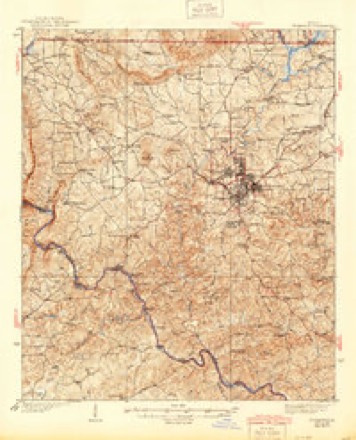
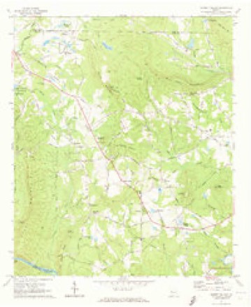
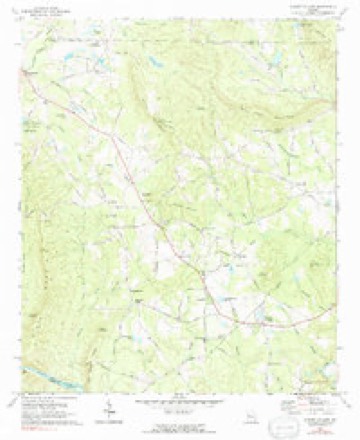
12 topographic sheets cover this place, the earliest surveyed in 1935 and the latest in 1981. It stands in the Sunset Village census division. It lies in ZIP code area 30286. It lies near McGraw Mountain. The Survey maps it on the Sunset Village quadrangle.
Topographic sheets covering this place
8 surveys from 12 printed sheetsMatched by testing this settlement's coordinate against the published boundary of every sheet in the United States Geological Survey's historical collection. Each opens the scanned sheet at the Survey.
- 1935 USGS Thomaston quadrangle1:48000
- 1939 USGS Thomaston quadrangle1:62500, 3 printings
- 1955 USGS Phenix City quadrangle1:250000, 3 printings
- 1957 USGS Phenix City quadrangle1:250000
- 1958 USGS Phenix City quadrangle1:250000
- 1971 USGS Sunset Village quadrangle1:24000
- 1971 USGS Sunset Village quadrangle1:24000
- 1981 USGS Thomaston quadrangle1:100000

Fires near this place
397 since 1992Regional context, not property-specific evidence. The federal wildfire occurrence database lists 397 fires within 5 miles of Crest between 1992 and 2020, burning about 3,403 acres in total. 14 started naturally. 71 were recorded as arson. Distance is straight-line from the map coordinates, so a fire counted here may appear on a neighbouring settlement's page as well.
| Reported cause | Fires |
|---|---|
| Debris and open burning | 249 |
| Arson/incendiarism | 71 |
| Equipment and vehicle use | 18 |
| Misuse of fire by a minor | 16 |
| Missing data/not specified/undetermined | 15 |
| Natural | 14 |
| Recreation and ceremony | 12 |
| Smoking | 2 |
The most recent of them, most recent first, with the day each was reported and the service that recorded it.
| Date | Cause | Size | Reported by | Name on the report |
|---|---|---|---|---|
| 9 September 2006 | Debris and open burning | under an acre | Georgia Forestry Commission | not named |
| 9 September 1996 | Smoking | under an acre | Georgia Forestry Commission | not named |
| 8 September 2002 | Debris and open burning | 4.7 acres | Georgia Forestry Commission | FY2003-UPSON-012 |
| 6 September 1997 | Debris and open burning | under an acre | Georgia Forestry Commission | not named |
| 5 September 1999 | Equipment and vehicle use | 75 acres | Georgia Forestry Commission | not named |
| 5 September 1997 | Missing data/not specified/undetermined | 4.7 acres | Georgia Forestry Commission | not named |
| 4 September 2019 | Debris and open burning | under an acre | Georgia Forestry Commission | FY2020UPSON003 |
| 30 September 2019 | Debris and open burning | 2.3 acres | Georgia Forestry Commission | FY2020UPSON014 |
Settlements close enough to share some of these fires:
Mines and quarries near this place
1 within 5 milesRegional context, not property-specific evidence. The federal mineral resources record lists 1 working within 5 miles of Crest: 1 prospect. None of them still produces. What was taken out: Mica. Distance is straight-line from the map coordinates, so a quarry counted here may appear on a neighbouring settlement's page as well.
| Where | Site | Commodity | Status | Recorded |
|---|---|---|---|---|
| D C Eller Bee Prospect | Mica | Prospect |
Storms near this place
12 since 2010Regional context, not property-specific evidence. The National Weather Service names Crest in 12 storm reports between 2010 and 2026: 6 thunderstorm wind, 5 hail, 1 tornado. No death or injury is recorded in these reports. Each account below is quoted exactly as the forecast office filed it, from the NOAA Storm Events Database, and each date opens the federal record of that event.
| When | Event | Place named | Harm | What the report says |
|---|---|---|---|---|
| March 2013 | Thunderstorm Wind | Crest | $120,000 | The Upson County 911 Center reported that trees and power lines were blown down county-wide, especially in the Yatesville area. A mobile home was destroyed by a falling tree on Manley Road. A vacant residence on Johnston Drive was damaged by a falling tree, and another home on Tom McKinley Road sustained roof and structural damage from a falling tree. Numerous homes had shingle damage. Farm equipment was blown over at The Rock Ranch. Two to three chicken houses were blown apart. A hangar door was blown off its tracks at the Thomaston-Upson airport. |
| March 2026 | Thunderstorm Wind | Crest | $4,000 | The emergency manager relayed a report of multiple trees down along pickard road between firetower road and burkett road. |
| June 2023 | Thunderstorm Wind | Crest | $4,000 | Several trees down in nw Upson county, incl Dripping Rock Rd, Smyrna Church Rd, Hickman Fork Rd, 1300 N Old Alabama Rd. time approx by radar with 2 waves for strong wind gusts through the area. |
| March 2026 | Tornado (EF0) | Crest | - | Tornado damage was first observed on Hendricks Church Road where a few small pine trees were snapped. Damage continued across Hurricane Creek where approximately 20-30 trees were knocked down or uprooted in private farmland. The path continues with damage to a small outbuilding before reaching Ellerbeetown Rd where some additional tree damage was noted. The track continues eastward towards the intersection of McCard Rd and 74 where additional tree damage was observed as well as some minor structural damage to a home. After crossing Womble Creek, the|tornado uprooted trees along Thurston School Rd before continuing east where it caused some minor tree and outhouse damage near the intersection of Butts Rd and Pickard Rd. From there, the path ends and the tornado appears to have lifted. This damage was in line with the estimated maximum wind speed of 78 mph and an|EF0 rating. |
| March 2026 | Thunderstorm Wind | Crest | - | The emergency manager relayed a report of an above ground pool destroyed by a down tree on jeff davis road near firetower road. |
| August 2022 | Thunderstorm Wind | Crest | - | Hendricks Church Rd is closed due to multiple downed trees and utility poles. |
| August 2022 | Thunderstorm Wind | Crest | - | Report of a power pole with electrical lines and tree down. |
| March 2011 | Hail | Crest | - | A storm spotter observed nickel-sized hail in western Upson county between Crest and Thomaston. WSR-88D radar data suggests that penny to quarter-sized hail likely continued eastward to Redbones Crossroads. |
| March 2011 | Hail | Crest | - | An amateur radio operator relayed a report of quarter-sized hail on the south side of Thomaston. WSR-88D radar data suggests that hail of this size, possibly larger, likely fell from Sprewell Bluff State Park on the Talbot county border to just southeast of Thomaston. |
| March 2011 | Hail | Crest | - | The Upson County 911 Center relayed reports of widespread quarter-sized hail across the southern part of the county. The hail lasted from 10 to 15 minutes across the southern sections from Sprewell Bluff State Park, to south of Thomaston, to east of Logtown, near the Crawford county line. This hail occurred with a separate thunderstorm cell from the one which produced, nickel-sized hail across the northern part of the county earlier. |
| March 2011 | Hail | Crest | - | The Upson County Emergency Management Director reported quarter-sized hail near Roland in west central Upson county to nickel-sized hail in east central Upson county, just south of Logtown. |
| May 2010 | Hail | Crest | - | The Upson County Emergency Management Director reported nickel-sized hail west of Thomaston near the Sunnyside community. |
Nearest settlements
The eight closest, with where each one stands in the county. Distances are straight-line, computed from the Geographic Names Information System coordinates.
| Map | Place | Distance | Sheets |
|---|---|---|---|
| Barker Spring | 0.8 miles | 12 | |
| Hendricks | 1.3 miles | 12 | |
| Ellerbeetown | 1.6 miles | 12 | |
| Pickard | 1.8 miles | 12 | |
| Hickman Forks | 1.9 miles | 12 | |
| Glencliff | 2.0 miles | 12 | |
| Sunset Village | 3.2 miles | 12 | |
| Jones Settlement | 3.8 miles | 12 |
Provenance
This settlement is recorded in the Geographic Names Information System as feature 331476. The sheet list is computed by point-in-boundary test against the United States Geological Survey's historical topographic inventory. Both are works of the United States government and carry no copyright under 17 U.S.C. 105.
Wildfire. Short, Karen C. 2022. Spatial wildfire occurrence data for the United States, 1992-2020 [FPA_FOD_20221014]. 6th Edition. Fort Collins, CO: Forest Service Research Data Archive. https://doi.org/10.2737/RDS-2013-0009.6 Collected with United States Government funding and usable without additional permissions or fees.
Mines and quarries. USGS Mineral Resources Data System (MRDS) https://mrdata.usgs.gov/mrds/ A work of the United States government, no copyright under 17 U.S.C. 105.
Storms. NOAA National Centers for Environmental Information, Storm Events Database https://www.ncei.noaa.gov/stormevents/ A work of the United States government, no copyright under 17 U.S.C. 105. Narratives are quoted verbatim from the National Weather Service report and are not edited or summarised.