 Block
From the record
7 National Register listings published here.
Sources: the National Register database, National Park Service
23 topographic sheets and 9 fire insurance atlases across 1 place.
7 National Register listings published here.
Sources: the National Register database, National Park Service
Taken for the Office of War Information and the Farm Security Administration, who photographed the country between 1935 and 1944. Works of United States government photographers, with no known restriction on use. Each opens its catalogue record.



Every property in this county listed on the National Register of Historic Places, with the year it was listed and the federal nomination document.
| Photograph | Property | Type | Listed | Reference |
|---|---|---|---|---|
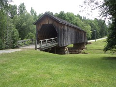 | Auchumpkee Creek Covered Bridge | structure | 1975 | 75000614 |
 | Sydney Barron House | building | 1994 | 94000526 |
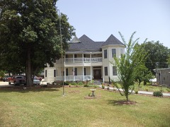 | W. A. Harp House | building | 1990 | 90000636 |
| John and Effie McDaniel House | building | 2021 | 100006662 | |
| Rose Hill Mill and House | district | 1980 | 80001250 | |
| Silvertown Historic District | district | 2021 | 100006336 | |
 | Upson County County Courthouse | building | 1980 | 80001251 |
Upson County has 1 covered bridge on the National Register. Each is a listed structure with a federal nomination on file.
| Auchumpkee Creek Covered Bridge | Listed 1975 |
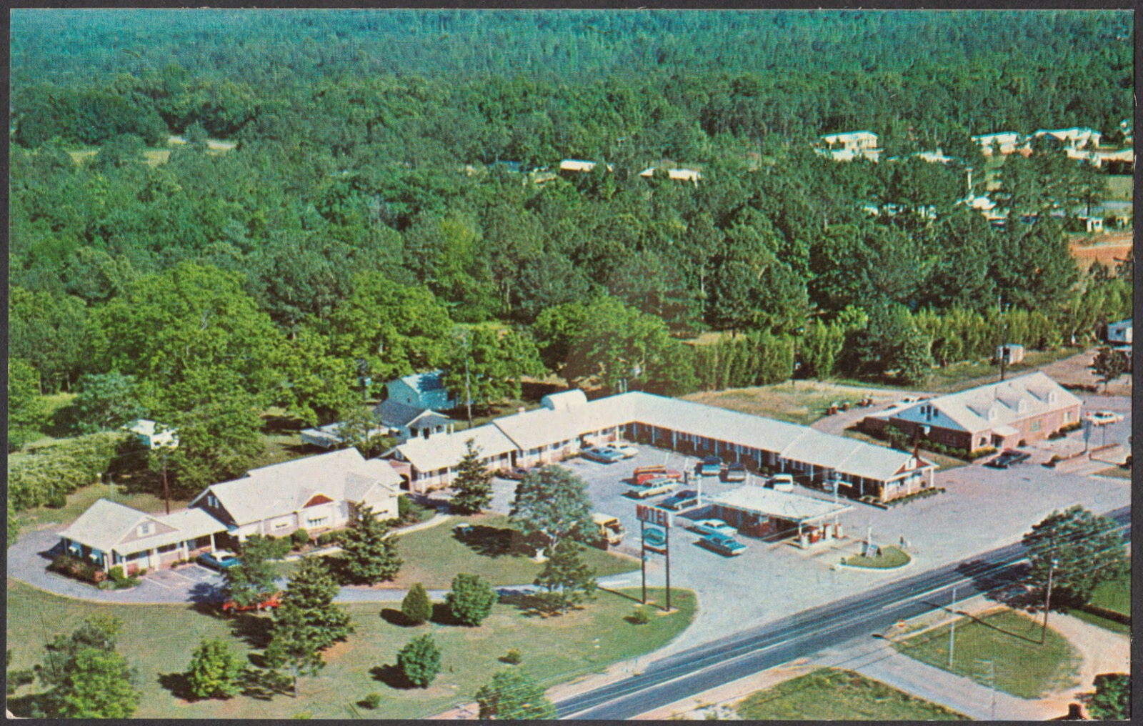
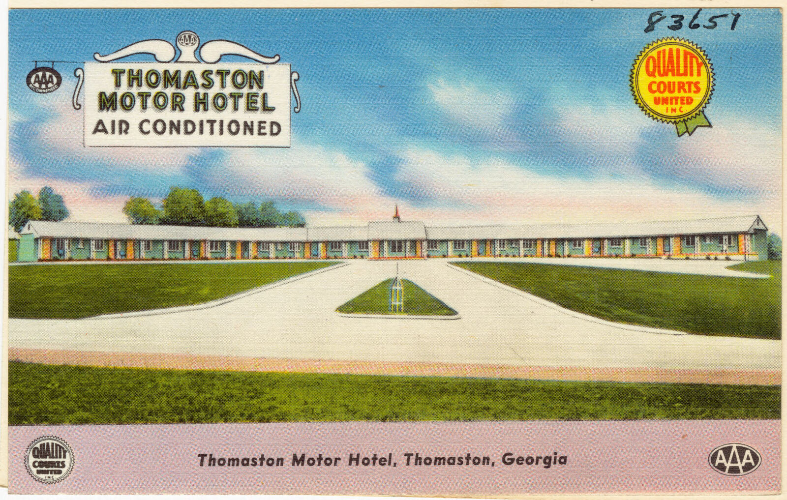
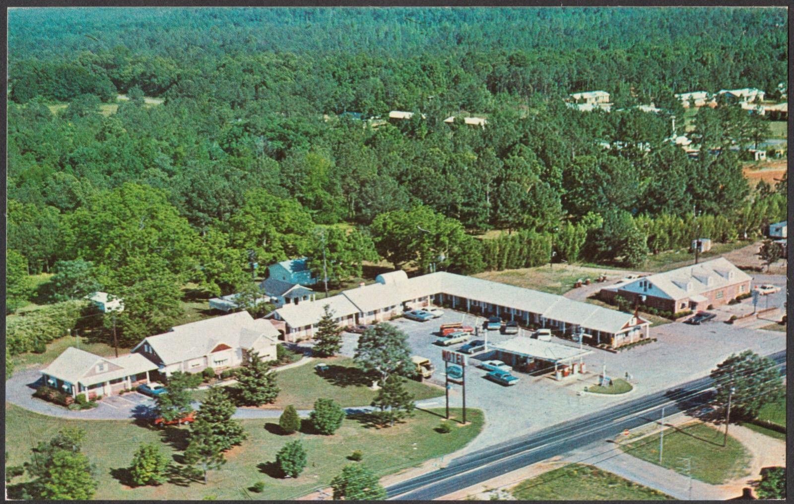
Selected from the Digital Public Library of America's 3 image records catalogued for this county. Every one shown here carries a public-domain status or a licence that permits reuse on a site that carries advertising; non-commercial, share-alike and restricted images are excluded. The selection is spread across the county's towns (at most eight per town), so no single institution's bulk upload crowds out the rest. Each opens the holding library's record, and the complete set at the Digital Public Library of America is one click away.
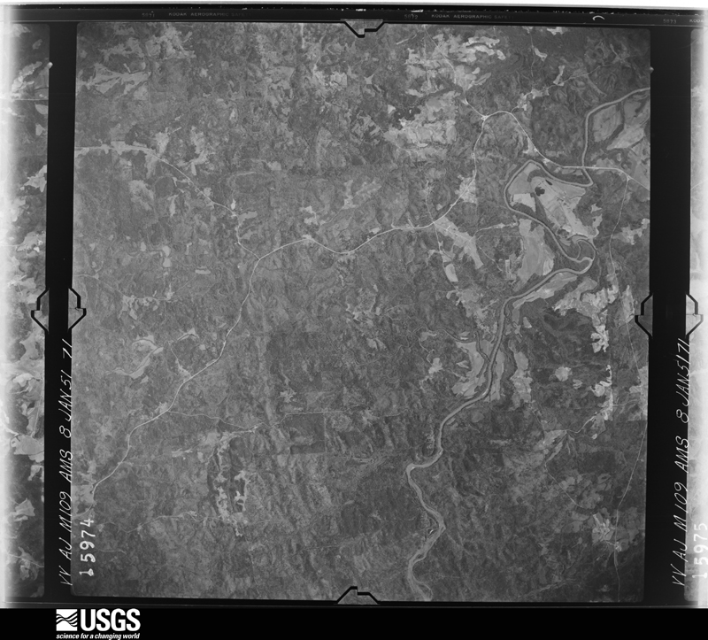
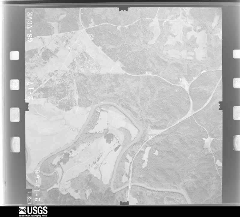
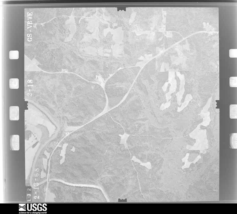
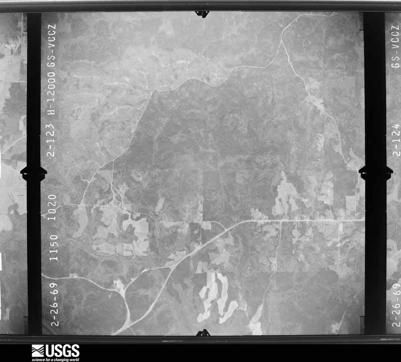
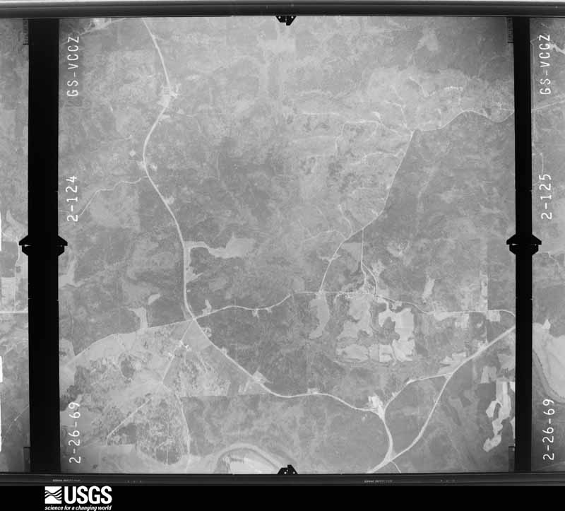
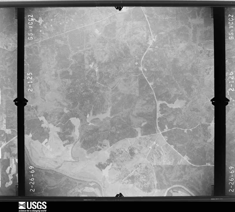
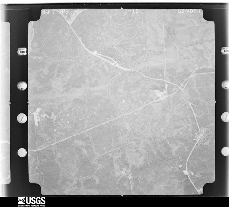
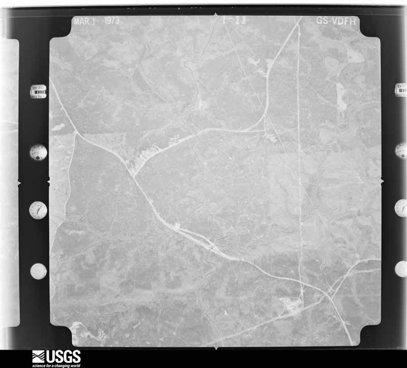
Flown by the U.S. Geological Survey between 1937 and 1989, the Aerial Photo Single Frames collection is the definitive mid-century view of the land: fields, roads and rivers as the camera saw them. The Survey holds 639 frames inside the rectangle that bounds this county; the 28 frames below were taken over the county itself, chosen across the decades of flights (at most four a year from that rectangle), so one flight cannot crowd out the rest. The full set is free to browse and download at EarthExplorer under the dataset Aerial Photo Single Frames.




















The thermometers that kept this county's weather, and the gages that measured the flow of its streams, as the federal records hold them. The extremes below are measured values from those records, not estimates.
Who lived here in 1950, one enumeration district at a time, as the Census Bureau described each district. Each row opens its official National Archives result, with Population Schedules and ED Maps available there.
Every wildfire the federal occurrence database records inside this county: 1,380 of them, burning about 7,016 acres. 61 started naturally and 207 were recorded as arson. Each settlement page carries the fires within five miles of it.
| Reported cause | Fires |
|---|---|
| Debris and open burning | 818 |
| Arson/incendiarism | 207 |
| Equipment and vehicle use | 99 |
| Missing data/not specified/undetermined | 83 |
| Misuse of fire by a minor | 62 |
| Natural | 61 |
| Recreation and ceremony | 36 |
| Smoking | 12 |
| Railroad operations and maintenance | 2 |
The five largest, by the area the report gives. One of them was set deliberately.
| Date | Cause | Size | Reported by | Name on the report |
|---|---|---|---|---|
| 16 July 2000 | Debris and open burning | 401 acres | Georgia Forestry Commission | FY2001-UPSON-006 |
| 24 May 2011 | Debris and open burning | 356 acres | Georgia Forestry Commission | FY2011-UPSON-079 |
| 29 March 2008 | Arson/incendiarism | 348 acres | Georgia Forestry Commission | TATUM SHOALS |
| 5 June 2000 | Natural | 202 acres | Georgia Forestry Commission | FY2000-UPSON-068 |
| 22 March 2016 | Debris and open burning | 168 acres | Georgia Forestry Commission | FY2016-UPSON-013 |
| 19 August 1999 | Natural | 142 acres | Georgia Forestry Commission | not named |
| 26 March 2005 | Equipment and vehicle use | 115 acres | Georgia Forestry Commission | not named |
| 9 April 1996 | Debris and open burning | 103 acres | Georgia Forestry Commission | not named |
Every settlement page carries the fires within five miles of it - see the settlement index below.
The NOAA Storm Events Database holds 273 reports for this county, causing no deaths, 10 injuries and about $5,634,650 in recorded property damage. Each settlement page carries the reports that name it.
| Kind of event | Reports |
|---|---|
| Thunderstorm Wind | 137 |
| Hail | 60 |
| Flash Flood | 24 |
| Tornado | 21 |
| Lightning | 21 |
| Flood | 4 |
| Funnel Cloud | 3 |
| Heavy Rain | 3 |
The most serious of them, by death, then injury, then recorded damage. The accounts are quoted exactly as the forecast office filed them.
| When | Event | Place named | Harm | What the report says |
|---|---|---|---|---|
| February 1990 | Tornado (F1) | not stated | 2 hurt, $250,000 | no account filed |
| May 1997 | Thunderstorm Wind | Thomaston | 2 hurt, $15,000 | One whole tree and several large limbs fell on power lines. A metal shelter attached to a nursing home was ripped off the building. Two nursing home employees were knocked down by the wind gust as it blew through the door. |
| July 2001 | Lightning | Thunder | 2 hurt | The Upson County ARC reported that 2 boy scouts were struck by lightning while at the Thunder Scout Reservation in the extreme northwest part of the county northwest of Hendricks near the Flint River. The victims were transported to the Upson Regional Medical Center Emergency Room, treated, and released. The injuries were not serious. |
| July 2005 | Flash Flood | Countywide | 1 hurt, $700,000 | The Upson County Emergency Management Director reported that excessive rain had resulted in several roads being washed out and closed. Even others that were not washed out were under water for many hours. Four roads were washed out, including Old Alabama Road, West County Road, Bradshaw Road, and the bridge over Tobler Creek on Triune Mill Road. A motorist drove his sport utility vehicle onto a portion of Old Alabama Road that had been washed out by Basin Creek. The vehicle was subsequently swept down the creek. The driver of the vehicle was extremely lucky to have been rescued from his vehicle in the swollen creek. He sustained some injuries from the incident. Estimated damages to repair the roads were between $500,000 and $700,000. |
| July 2008 | Lightning | The Rock | 1 hurt | The Upson County Emergency Management Director reported that lightning struck a 57 year-old male while in the kitchen of his home. The individual sustained minor injuries as a result. |
| March 2001 | Lightning | Thomaston | 1 hurt | The Upson County Sheriff's Department reported that a Sheriff's Deputy was struck by lightning while on duty at the scene of an accident on the Barnesville Highway, approximately 2 miles northeast of Thomaston. He was still conscious and alert, but reported tingling sensations in his extremities. He was transported to a local hospital. |
| March 1984 | Hail | not stated | 1 hurt | no account filed |
| April 2011 | Tornado (EF2) | Hendricks | $500,000 | A survey conducted by the National Weather Service Forecast Office in Peachtree City, Georgia confirmed that the EF2 tornado that first touched down in northeast Harris county around 1155 pm EDT continued across southern Meriwether and into far northwest Upson county before finally lifting approximately nine miles northwest of Thomaston. The tornado had a path length of just over four miles within Upson county, while the total tornado path length was on the order of 24 miles. The maximum path width was 880 yards or less at this point with maximum winds estimated to be 130 mph. Within Upson county, the tornado traveled through a mostly rural forested area and as such structural damage was minimal. However, two structures were destroyed, four suffered major damage, and 6 others sustained minor damage. Thousands of trees were damaged or destroyed, along with several power lines. Some outbuildings were also damaged or destroyed. There were no fatalities or injuries reported from this tornado along its path, including Upson county. It should be noted, however, that this same thunderstorm spawned yet another tornado in Lamar county upstream that killed two people.||[04/27-04/28/11: Tornado #10, County #3-3, EF2, Harris-Meriwether-Upson, 2011:019]. |
| April 2020 | Tornado (EF3) | Lincoln Park | $300,000 | A National Weather Service survey found that an EF3 tornado with maximum wind speeds of 140 mph and a maximum path width of 1200 yards developed south of Thomaston in Upson County near Gordon School Road east of Old Talbotton Road. The tornado moved northeast narrowly missing the densely populated Lincoln Park area but hitting the Southern Crescent Technical College and Raintree Golf and Country Club on Highway 19 with winds of 70 to 85 mph. The tornado intensified as it passed Triune Mill Road on a path parallel to and just south of Yatesville Highway, where homes and cars were damaged from falling trees. As the tornado reached Trice Cemetery Road, it broadened to over 2/3 of a mile wide. An unoccupied mobile home was rotated 90 degrees and rolled on its side. The tornado reached its maximum intensity as reached Trinity road where a single story frame home had most of its roof blown off and every tree within a 1/8 mile radius was snapped. One house was lifted off of its foundation and deposited several yards away in the roadway on Highway 74. The tornado slowly began to weaken as it continued northeast through the northeastern corner of Upson County and into far southeastern Lamar County. In total, 159 structures were affected. thirty eight homes had minor damage, 20 major damage and 7 were destroyed. [04/12/20: Tornado #11, County #1/2, EF-3, Upson, 2020:017]. |
| March 2005 | Lightning | Thomaston | $250,000 | The Upson County Emergency Manager reported that two homes were struck by lightning. The roof of one home was set on fire and the home was completely destroyed. The other home suffered major damage. |
| May 2003 | Thunderstorm Wind | Thomaston | $250,000 | The Upson county 911 center, and the Thomaston newspaper reported that numerous trees were blown down causing major damage in the city. Several of the trees landed on homes and even some vehicles causing minor to moderate structural damage. Others brought down power lines, telephone lines, and cable TV lines. |
| March 1991 | Tornado (F1) | not stated | $250,000 | no account filed |
| October 2002 | Flash Flood | North Portion | $225,000 | The Upson county Emergency Management Director reported that thunderstorm rains of five to seven inches in a three hour period resulted in significant flooding in the north central and northeast part of the county. Seven roads were washed out as the result of the heavy rain which washed out bridges and/or culverts on these roads. Sprewell Bluff Road west of Thomaston experienced major damage and was closed indefinitely. Willis Road off Georgia Highway 36 northeast of Thomaston also sustained major damage and was closed indefinitely. There were five other roads in the northern part of the county with minor damage. In addition, an apartment complex just northeast of Thomaston also experienced minor flooding. |
| January 2020 | Tornado (EF1) | Hendricks | $200,000 | A National Weather Service survey team found that an EF-1 tornado with peak winds of 90 mph and a maximum path width of 100 yards began along the Flint River on the Meriwether-Upson County line south-southeast of Woodbury. The tornado traveled about a third of a mile along the north shore of the river in Upson County with no damage on the Meriwether County side of the river. Approximately 100 trees and several power poles were snapped or blown down. A camper was blown over and a boat was blown into a tree. A home along the river was knocked off of its stilts and destroyed by a large tree falling on it. At least one other home sustained damage from falling trees. [01/11/20: Tornado #3, County #1/1, EF-1, Upson, 2020:003]. |
| January 2017 | Tornado (EF2) | Ellerbeetown | $200,000 | A National Weather Service survey team found that the EF2 tornado with maximum winds of 115 MPH and a maximum path width of 300 yards which began in Talbot County just east of Highway 36 near the Flint River and moved north-northeast into Upson County near the Riverbend Restaurant along Riverbend Road snapping trees and power lines. The tornado continued north-northeast along Highway 36 crossing Roland Road continuing to down trees and power lines. As the path of the tornado reached the Sunnyside Road and Holman Road area several homes sustained severe roof damage. A second tornado crossed the path of this tornado in this vicinity just minutes later. The path continued north-northeast along Sunnyside Road causing damage to the roofs of several homes before crossing Crest Highway and Pickard Road and downing numerous additional trees before ending in the vicinity of Old Alabama Road. [1/21/17: Tornado #6, County #2/2, EF1, Talbot-Upson, 2017:007]. |
| June 2008 | Thunderstorm Wind | Thomaston | $200,000 | The Upson County 911 Center reported that a thunderstorm downburst resulted in one to two dozen trees being blown down in the Sunset Village area just north of Georgia Highway 74 along and west of Sunnyside Road. One home sustained considerable damage when several trees fell on the structure. A pool house was blown over on Lucille Drive and a flag pole was also bent over. |
| March 1996 | Tornado (F1) | Thomaston | $200,000 | no account filed |
| May 2020 | Hail | Pickard | $150,000 | The public reported hail the size of golf balls on Sandy Brook Circle. |
| July 2008 | Lightning | Thomaston | $150,000 | The Upson County Emergency Management Director reported that lightning struck and set a house on fire just north of Thomaston. |
| June 1998 | Thunderstorm Wind | Thomaston | $150,000 | Thunderstorm winds knocked trees down on houses between Thomaston and Crest. Six chicken houses and farm buildings were destroyed or damaged and several house roofs were damaged in the Yatesville area. The city of Yatesville lost power. |
| March 2013 | Thunderstorm Wind | Crest | $120,000 | The Upson County 911 Center reported that trees and power lines were blown down county-wide, especially in the Yatesville area. A mobile home was destroyed by a falling tree on Manley Road. A vacant residence on Johnston Drive was damaged by a falling tree, and another home on Tom McKinley Road sustained roof and structural damage from a falling tree. Numerous homes had shingle damage. Farm equipment was blown over at The Rock Ranch. Two to three chicken houses were blown apart. A hangar door was blown off its tracks at the Thomaston-Upson airport. |
| February 2016 | Thunderstorm Wind | Mc Kinney | $100,000 | A NWS survey team found a path of wind damage stretching about 7 miles from around 3 miles east of Thomaston to 2 miles east of The Rock. Numerous trees were blown down or snapped along this path as well as isolated incidents of structural damage. Near the intersection of Highway 74 and Rualmaine Road, the front porch was blown off of a house. The bolts securing the metal posts holding up the porch were sheared off from the concrete pad. In this same area the tin roof of a medium-sized barn was ripped off and several trees were snapped. The most concentrated damage occurred along Rock Hill School Road where as many as 50 trees were snapped or up-rooted. This is where the maximum wind speed of 80 MPH was estimated to have occurred. A few more trees were found blown down along Fambro Road east of The Rock. No further damage was found downstream along the path of this storm. |
| April 2003 | Lightning | Thomaston | $100,000 | The Thomaston Times reported that a chicken house was struck and completely destroyed by lightning, including 15,000 two-and-a-half-year-old chickens. The local power company determined that the lightning struck a power transformer behind the building and started a fire at every electrical outlet in the structure. |
| January 2017 | Tornado (EF1) | Ellerbeetown | $75,000 | A National Weather Service survey team found that an EF1 tornado with maximum winds of 95 MPH and a maximum path width of 200 yards began in western Upson County near Roland Road south of Highway 36. In this area numerous trees were snapped or uprooted, power lines were downed and a home sustained significant roof damage. The tornado moved northeast Crossing Reid Place Road and snapping or uprooting more trees. Just before crossing Highway 36 near the intersection with Goshen Road the tornado blew the porch off of a house and continued to down trees and power lines as it moved into the western side of Thomaston. More trees and power lines were downed across western parts of Thomaston along Peachbelt Road and in the Highway 74 and West Main Street areas where the tornado ended. [01/21/17: Tornado #7, County #1/1, EF1, Upson, 2017:008]. |
| June 2004 | Thunderstorm Wind | Countywide | $60,000 | The Upson County Emergency Manager reported that a number of trees had been blown down in various areas throughout the county. A number of power lines had also been brought down by the fallen trees. Structural damage was reported to the roofs of several homes and some businesses and one vehicle was damaged. Several thousand people in the county were left without power for a few hours following the storm. |
| April 2011 | Thunderstorm Wind | Silvertown | $50,000 | Amateur radio operators relayed reports of two trees down within the city of Thomaston. Both trees fell on homes causing damage to the structures. |
| August 2008 | Lightning | Thomaston | $50,000 | The Upson County Emergency Management Director reported a structural fire as a result of a lightning strike. Specific damages were not provided. |
| August 2008 | Thunderstorm Wind | The Rock | $50,000 | The Upson County Emergency Management Director reported that more than a dozen trees were down in The Rock area, some causing damage to homes and vehicles. |
| August 2007 | Lightning | Pickard | $50,000 | The Upson County Emergency Management Agency reported that a home was struck and set on fire by lightning in the far western part of the county. |
| January 2017 | Tornado (EF1) | Ellerbeetown | $40,000 | A National Weather Service survey team found that the EF1 tornado that began in Talbot County moved into Upson County with maximum winds of 105 MPH and a maximum path width of 300 yards. The tornado crossed the Flint River into Upson County in the Sprewell Bluff State Park where it snapped and uprooted trees and overturned a small outbuilding. At this point the tornado, which had been moving northeast, turned more easterly crossing Double Bridges Road, where at least 3 dozen trees were downed across the roadway, before crossing Roland Road north of Highway 36 downing more trees and damaging the roof a home. Further east the tornado crossed Hollman Drive and Sunnyside Road where it crossed the path of another tornado that had passed just minutes before. The tornado ended near Highway 36 just northeast of Roland. This tornado followed a path nearly 10 miles long across Talbot and Upson Counties. [01/21/17: Tornado #4, County #2/2, EF1, Talbot-Upson, 2017:005]. |
| November 2014 | Tornado (EF0) | Birdsong Xrds | $40,000 | A NWS storm survey team found that an EF-2 tornado, with maximum wind speeds of 130 MPH, touched down in Upson County on the west side of Thomaston around the intersection of State Highway 74 and W. Main Street. The tornado tracked northeast around 8.5 miles mile before crossing into Lamar County near north of Mud Bridge Road and Rocky bottom Road. Numerous hardwood and softwood trees were uprooted or snapped along the path of the tornado. The tornado reached its peak intensity northwest of Thomaston where it moved through a residential subdivision at Del Ray Road and Tyler Lane. A small residential leasing office was destroyed at this location with the exterior walls blown away. [11/23/14: Tornado #5, County #1-2, EF2, Upson-Lamar, 2014:022]. |
| March 2023 | Flash Flood | Thunder | $30,000 | Public reported flooding in the area of McCrary Road. Jones Road was washed out due to high water on Woodall Branch, and McCrary Road was washed out near Turner Lake Road due to high water on a nearby lake. In addition to the 1 inch of rain that fell the previous day, radar estimates indicate that 6 to 8 inches fell on March 26, resulting in the flash flooding. |
| October 2021 | Flash Flood | Salem | $30,000 | The Emergency Manager reported two culvert washouts along Pleasant Grove Road resulted in its closing between Kendall Road and Logtown Road. Radar estimates indicate that 3 to 6 inches of rain occurred over the area, resulting in the flash flooding. |
| April 2017 | Tornado (EF0) | Barker Spg | $30,000 | A National Weather Service survey team found that an EF-0 tornado with maximum wind speeds of 70 MPH and a maximum path width of 75 yards occurred in south-central Upson County. The tornado briefly touched down south of Thomaston along John B Gordon road snapping a few trees then moved northeast crossing US Highway 19 following along New Harmony Church Road were several trees were snapped or uprooted. Minor roof damage was noted to some homes along Samuel Atwater Road. The tornado ended along New Harmony Church Road before crossing Wolf Creek. No injuries were reported. [04/03/17: Tornado #11 County #1/1, EF-0, Upson, 2017:043]. |
| April 2011 | Thunderstorm Wind | Atwater | $30,000 | The Upson County Emergency Management Director reported that dozens of trees and power lines were down throughout the county. Power outages were widespread. Four structures in the county suffered minor damage from either downed trees and/or wind damage. Georgia Highway 36 was blocked at the railroad track because of a large tree down across the track. |
| June 2004 | Thunderstorm Wind | The Rock | $30,000 | The Upson County Emergency Management Director reported that an apparent microburst or downburst associated with a strong thunderstorm in the area caused extensive damage to trees and structures in a small area in far northeast Upson county just northeast of The Rock. At least 12-15 large one to two foot diameter trees were blown down, several across Georgia Highway 36. Trees also fell on and damaged several homes in the area, a couple of chicken houses, The Rock Post Office, a vacant manufacturing plant, and several automobiles. |
| May 2018 | Flash Flood | Hannah Mill | $25,000 | Emergency Manager reported homes along Williams Way Road were experiencing flooding as a result of Tenmile Creek rising out of its banks. Radar estimates indicate that 5 to 6 inches of rain had fallen over the Hannah Mill area. |
| May 2008 | Thunderstorm Wind | Thomaston | $25,000 | The AWOS, located four miles northeast of Thomaston, at the Thomaston-Upson County Airport recorded a wind gusts of 61 mph. The Upson County 911 Center reported that several trees and power lines were blown down from the north side of Thomaston to Yatesville as thunderstorms with these wind gusts swept through the north ern and eastern part of the county. |
| July 2006 | Thunderstorm Wind | Thomaston | $25,000 | The Upson County Emergency Management Director reported that a couple of trees were down on homes at two different locations, one in downtown Thomaston and another just southeast of Thomaston. |
| July 2004 | Lightning | Pickard | $25,000 | The Upson County Emergency Management Director and a storm spotter for the National Weather Service reported that three homes were struck by lightning in the western part of the county. Two of the homes only suffered minor electrical damage to appliances. The third home was struck on a gable end. A small fire was ignited in the attic as a result. Damage was minimal. All of the incidents occurred in the Thurston community, 5 to 10 miles west of Thomaston. |
| July 2002 | Lightning | Atwater | $25,000 | The Upson county 911 Emergency Management Director and the Thomaston Times Newspaper reported that two homes were struck by lightning and set on fire. At one home the lightning traveled on the electrical system causing a short and resultant fire in a lamp. Damage to the room with the lamp was extensive, but the fire was quickly put out before further damage to the house occurred. At the other home, the lightning once again traveled in on the electrical line, but damage to the house was very minor. At the 911 center in Thomaston, a power surge, caused by a nearby lightning strike, disabled the communications equipment. Lightning was also believed to have caused a gas surge at a gas pumping station in Thomaston. Numerous reports of lightning related damage were received from all over the county, such as electrical sockets being blown out of walls, electrical panels and meters blown out, and many computer and modem related damage calls. |
| October 2002 | Lightning | Thomaston | $25,000 | The Thomaston Times reported that lightning struck an 85-year old home. The fire smoldered for about half-a-day, then ignited into flames. The house suffered moderate damage, but most of the contents were saved. |
| March 1980 | Tornado (F1) | not stated | $25,000 | no account filed |
| January 1963 | Tornado (F2) | not stated | $25,000 | no account filed |
| June 2019 | Thunderstorm Wind | Hannah Mill | $20,000 | The Upson County Emergency Manager reported trees blown down the Hannahs Mill area, where six large pecan trees were downed damaging a barn and 2 campers, to The Rock. |
| January 2017 | Tornado (EF0) | Hannah Mill | $20,000 | A National Weather Service survey team found that a brief EF0 tornado with maximum winds of 75 MPH and a maximum path width of 100 yards began in northern Upson County along Baker Britt Road southwest of Hannahs Mill. Numerous trees were snapped or uprooted as the tornado moved northwest for less than a mile before ending along Basin Creek northeast of Kings Mountain. [01/21/17: Tornado #8, County #1/1, EF0, Upson, 2017:009]. |
| April 2017 | Lightning | Salem | $20,000 | The Upson County Emergency Manager reported a structure fire at a residence on Kendall Drive. Lightning struck a transformer outside the home causing the fire. |
| January 2017 | Tornado (EF1) | Delray | $20,000 | A National Weather Service survey team found that a brief EF1 tornado with maximum winds of 100 MPH and a maximum path width of 175 yards began in northern Upson County near Del Ray Road northeast of Hannahs Mill. Numerous trees were snapped or uprooted as the tornado moved north close to two miles before ending along Jug Town Road. [01/21/17: Tornado #9, County #1/1, EF1, Upson, 2017:010]. |
| April 2017 | Tornado (EF1) | Barker Spg | $20,000 | A National Weather Service survey team found that an EF-1 tornado with maximum wind speeds of 90 MPH and a maximum path width of 150 yards occurred in eastern Upson County. This tornado developed out of the same storm that produced a short-track tornado south of Thomaston 6 minutes earlier. The tornado touched down west of Birdsong Road snapping a few trees and continued east along Waymanville Road where numerous trees were snapped and uprooted. The tornado path turned more northeasterly and crossed Kendall Drive uprooting several trees before crossing Logtown Road at the intersection with Traylor drive where several trees were snapped or uprooted and minor damage to a church occurred. The tornado continued northeast crossing Kendall Road several times as it traveled essentially parallel to it, snapping a few trees along the way. The tornado crossed Pleasant Grove Road snapping and uprooting a few trees before lifting in a wooded area east of that location before crossing into Monroe County. No injuries were reported. [04/03/17: Tornado #12, County #1/1, EF-1, Upson, 2017:044]. |
| January 2000 | Thunderstorm Wind | Thomaston | $20,000 | Upson county 911 reported a large tree down on a house on the north side of Thomaston. A newspaper clipping showed the house was knocked off its foundation and sustained roof damage. Several other trees were knocked down in Thomaston and across the county. |
| June 2019 | Thunderstorm Wind | Blacksboro | $16,000 | The Upson County Emergency Manager reported trees and power lines blown down across the eastern end of the county from around The Rock to around Logtown. Several trees were blown down and a home received structural damage near the intersection of The Rock Road and Rock School Hill Road and a tree was blown down across Waymanville Road near Logtown Road. |
| April 2025 | Thunderstorm Wind | Topeka Jct | $15,000 | More than 10 trees down along barnesville road north of yatesville. |
| February 2019 | Thunderstorm Wind | Atwater | $15,000 | The Upson County Emergency Manager reported numerous trees and power lines blown down across the far northern part of the county from around the intersection of Weems Road and Smyrna Church Road to Highway 19 near the Pike County line, Rocky Bottom Road, and Piedmont and Mud Bridge Roads in The Rock. |
| June 2018 | Thunderstorm Wind | Hannah Mill | $15,000 | The Upson County Emergency Manager reported trees blown down from the Hannahs Mill area on West County Road and on Waverly Way to northwest of Yatesville along Boyt Road around Green Forest Road. One tree struck a house at the West County Road location. No injuries were reported. |
| June 2017 | Thunderstorm Wind | Blacksboro | $15,000 | The Upson County Emergency Manager reported a barn and a camper damaged along Rock Hill School Road. Portions of the barn's tin roof and some siding on the north side of the building were blown off. |
| June 2016 | Thunderstorm Wind | Hannah Mill | $15,000 | The Upson County 911 center reported several trees blown down including around the intersection of Hannahs Mill Road and Jeff Davis Road and on Pineview Drive where a tree fell on a house. |
| December 2015 | Tornado (EF0) | Salem | $15,000 | An NWS storm survey team confirmed an EF-0 tornado, with maximum wind speeds of 80 MPH and a maximum path width of 180 yards, touched down just west of Mt. Carmel Road and traveled .2 miles east northeast, crossing Mt. Carmel Road before lifting. Several trees were snapped or uprooted on either side of Mt. Carmel Road and a small shed was destroyed. [12/24/15: Tornado #1, County #1-1, EF0, Upson, [2015:014]. |
| July 2005 | Thunderstorm Wind | The Rock | $15,000 | The public reported that an apparent microburst or downburst from a small, yet strong thunderstorm blew down five large trees causing damage to one home. A bedroom window was broken and a workshop detached from the house was flattened. The downed trees were at least 100 years old. |
| August 2003 | Flash Flood | Thomaston | $15,000 | The Upson county 911 center reported that persistent thunderstorms with heavy rain had resulted in considerable flooding in the Thomaston area. Eleven roads had to be closed because of flooding, and one remained closed for a few hours even after the rain had ended. Flood waters rose into several homes. Three homes had to be evacuated because of flooding in a low-lying area of the city. In addition, water was flowing over the dam of a small pond northwest of Thomaston, forcing the closure of the road below the dam. |
| February 2016 | Thunderstorm Wind | Mc Crary Settlement | $12,000 | The Upson County 911 Center reported trees and power lines blown down from around Highway 74 and Lawrence road in the Lawrence Mill area to Pleasant Valley Road in the Hendricks area and Lanier Road in the Redbone Crossroads area. |
The Survey's mineral resources record lists 59 workings inside this county. None of them still produces: all are closed or unrecorded. Each settlement page carries the workings within five miles of it.
| Commodity | Workings |
|---|---|
| Mica | 59 |
| Gemstone | 3 |
The least common of them first, because a county's hundredth gravel pit says nothing its first ten did not.
| Where | Site | Commodity | Status | Recorded |
|---|---|---|---|---|
| Adams Mine | Mica, Gemstone | Past Producer | ||
| Blount No. 1 Mine | Mica, Gemstone | Past Producer | ||
| Herron Mine | Mica, Gemstone | Past Producer | ||
| B S Gibson Prospects | Mica | Prospect | ||
| Barron Mine | Mica | Past Producer | ||
| Bennie Barron Mine | Mica | Past Producer | ||
| Bentley Prospect | Mica | Prospect | ||
| Boyt Mine | Mica | Past Producer | ||
| Brown Mine | Mica | Past Producer | ||
| Carter Mine | Mica | Past Producer | ||
| Charlie Nims Mine | Mica | Past Producer | ||
| Cliff Middlebrooks Deposit | Mica | Occurrence | ||
| Colbert Mine | Mica | Past Producer | ||
| Corley Mine | Mica | Past Producer | ||
| Corley Prospects | Mica | Prospect | ||
| Cumbie Prospects | Mica | Prospect | ||
| Cunningham Prospect | Mica | Prospect | ||
| D C Eller Bee Prospect | Mica | Prospect | ||
| Duke Mine | Mica | Past Producer | ||
| Emmit Trice Prospect | Mica | Prospect | ||
| F M Thompson Property | Mica | Prospect | ||
| F.E.Thompson Prospect | Mica | Prospect | ||
| Grace Prospect | Mica | Prospect | ||
| Helen Mcdonald Prospect | Mica | Prospect | ||
| J J Reeves Prospect | Mica | Prospect | ||
| J M Bevel Deposit | Mica | Occurrence | ||
| J.A.Partridge Mine | Mica | Past Producer | ||
| Joe McKinley Prospect | Mica | Prospect | ||
| Joe Person Mine | Mica | Past Producer | ||
| Johnson Mine | Mica | Past Producer | ||
| Kelly O'Neil Prospects | Mica | Prospect | ||
| King & Thurston Mine | Mica | Past Producer | ||
| L.M.Brooks Prospect | Mica | Prospect | ||
| Mauldin Mine | Mica | Past Producer | ||
| Mauldin Road Prospect | Mica | Prospect | ||
| Maze Prospects | Mica | Prospect | ||
| Mitchell Creek Mine | Mica | Past Producer | ||
| Nottingham Prospects | Mica | Prospect | ||
| Partridge Mine | Mica | Past Producer | ||
| Pennyman Mine | Mica | Past Producer | ||
| R.S.Gibson Prospect | Mica | Prospect | ||
| Reynolds Mine | Mica | Past Producer | ||
| S.P.Cronheim Prospect | Mica | Prospect | ||
| Short-Mitchell Mine | Mica | Past Producer | ||
| Stevens-Rock Mine | Mica | Past Producer | ||
| The Miles Brown Mine | Mica | Past Producer | ||
| The Old Atwater Mine | Mica | Past Producer | ||
| The Old Bell Mine | Mica | Past Producer | ||
| The W.M.Dallas Mine | Mica | Past Producer | ||
| The W.M.Dallas Prospect | Mica | Prospect | ||
| Thompson Prospect | Mica | Prospect | ||
| Tomlin Mine | Mica | Past Producer | ||
| Triune Mills No. 1 Prospect | Mica | Prospect | ||
| Unnamed Mica Prospect | Mica | Prospect | ||
| Walker Prospect | Mica | Prospect | ||
| Watson Mine | Mica | Past Producer | ||
| Wheeless Mine | Mica | Past Producer | ||
| Young Mine | Mica | Past Producer | ||
| Zorn Mine | Mica | Past Producer |
Named settlements recorded in the Geographic Names Information System, each with the topographic sheets covering it. Villages, hamlets and abandoned places alike. Each is shown with the nearest named watercourse or landform and the survey quadrangle it falls on. The 1 place that was also surveyed for fire insurance comes first, with the number of atlases and photographs held for them.
Thomaston census division · 30286 · Thomaston quadrangle
12 sheets, 1935 to 1981
Fire insurance: 9 atlases
Sunset Village census division · 30286 · Near McGraw Mountain · Sunset Village quadrangle
12 sheets, 1935 to 1981
Salem census division · 30286 · On Wolf Creek · Lincoln Park quadrangle
12 sheets, 1935 to 1981
The Rock-Yatesville census division · 30286 · Thomaston quadrangle
12 sheets, 1935 to 1981
No longer a settlement
Sunset Village census division · 30286 · Near McGraw Mountain · Sunset Village quadrangle
12 sheets, 1935 to 1981
The Rock-Yatesville census division · 30285 · On Bunkley Woods Branch · Thomaston quadrangle
12 sheets, 1935 to 1981
Sunset Village census division · 30286 · On Hurricane Creek · Sunset Village quadrangle
12 sheets, 1935 to 1981
Sunset Village census division · 30286 · Near Brooks Mountain · Sunset Village quadrangle
12 sheets, 1935 to 1981
Thomaston census division · 30286 · On Norris Creek · Thomaston quadrangle
12 sheets, 1935 to 1981
Sunset Village census division · 30286 · On Andrews Branch · Sunset Village quadrangle
12 sheets, 1935 to 1981
Sunset Village census division · 30286 · On Hurricane Creek · Sunset Village quadrangle
12 sheets, 1935 to 1981
Sunset Village census division · 30286 · On Woodall Branch · Sunset Village quadrangle
12 sheets, 1935 to 1981
Salem census division · 30286 · On Kendall Branch · Logtown quadrangle
10 sheets, 1951 to 1981
Sunset Village census division · 30258 · On Woodall Branch · Sunset Village quadrangle
12 sheets, 1935 to 1981
Thomaston census division · 30286 · On Red River · Thomaston quadrangle
12 sheets, 1935 to 1981
Thomaston census division · 30286 · On Drake Branch · Thomaston quadrangle
12 sheets, 1935 to 1981
Sunset Village census division · 30286 · Near Brooks Mountain · Sunset Village quadrangle
12 sheets, 1935 to 1981
The Rock-Yatesville census division · 30286 · On Fourth Branch · Lincoln Park quadrangle
12 sheets, 1935 to 1981
The Rock-Yatesville census division · 30286 · Yatesville quadrangle
10 sheets, 1951 to 1981
Sunset Village census division · 30286 · On Womble Creek · Roland quadrangle
12 sheets, 1935 to 1981
Thomaston census division · 30286 · On Tenmile Creek · Thomaston quadrangle
12 sheets, 1935 to 1981
Sunset Village census division · 30286 · Near Brooks Mountain · Sunset Village quadrangle
12 sheets, 1935 to 1981
The Rock-Yatesville census division · 30285 · On Weatherford Branch · Yatesville quadrangle
10 sheets, 1951 to 1981
The Rock-Yatesville census division · 30285 · Yatesville quadrangle
10 sheets, 1951 to 1981
The Rock-Yatesville census division · 31097 · Yatesville quadrangle
10 sheets, 1951 to 1981
The vanished settlements of Upson County: the places named above that are no longer on the map.
12 topographic sheets and 9 fire insurance atlases, 1885 to 1947