 Block
Decatur, Georgia
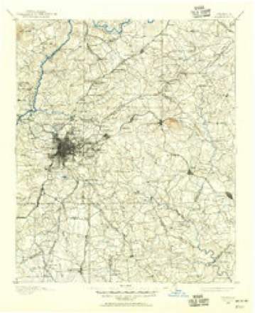
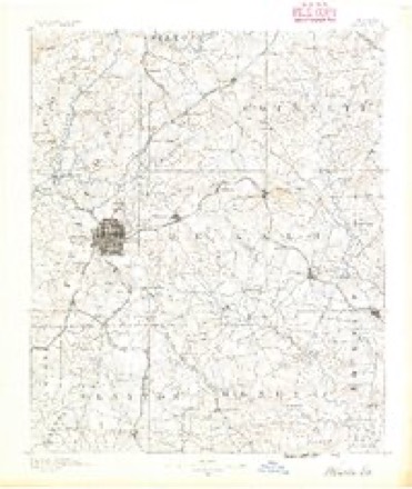
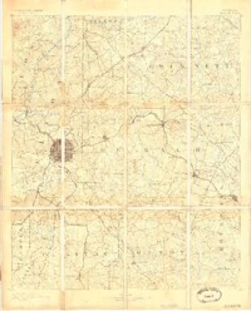
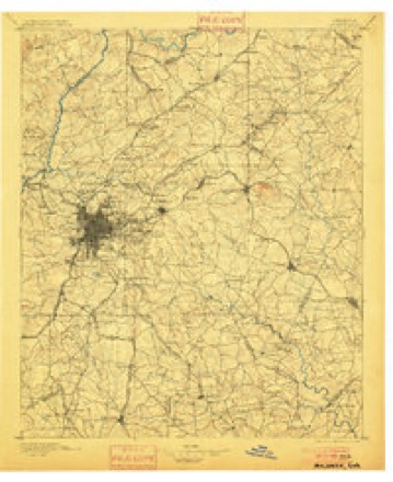
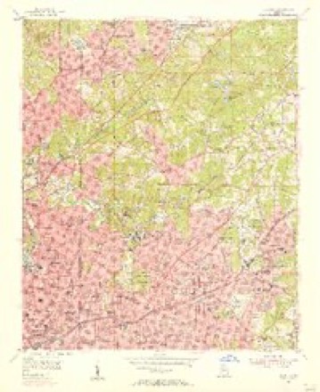
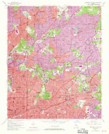
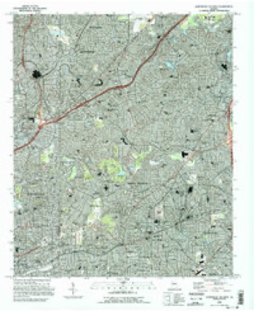
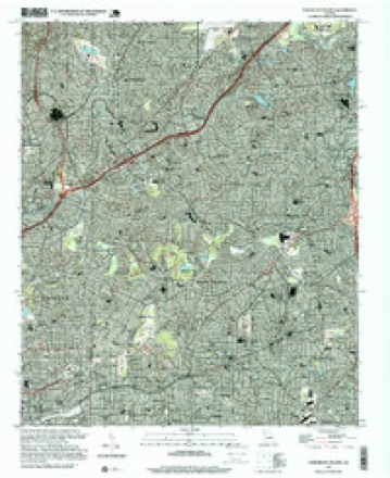
21 topographic sheets cover this place, the earliest surveyed in 1888 and the latest in 1997. It stands in the Atlanta-Decatur census division. It lies in ZIP code area 30030. It stands on Wolfpack Creek. The Survey maps it on the Northeast Atlanta quadrangle. 24,928 people lived here at the 2020 count. It stands 1,043 feet above sea level.
On record in Decatur
Buildings and businesses the archive holds for this place. Each opens its own page, with the source record it came from.
On the National Register 12 of 24 shown
 Blair-Rutland Buildinglisted 2002
 Decatur Cemeterylisted 1997
 Decatur Waterworkslisted 2006
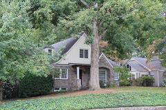 Emory Grove Historic Districtlisted 2000
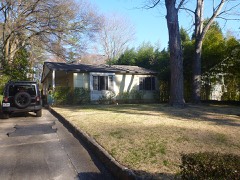 Neville and Helen Farmer Lustron Houselisted 1996
 Mary Gay Houselisted 1975
 Cora Beck Hampton Schoolhouse and Houselisted 1992
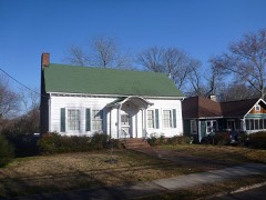 Agnes Lee Chapter House of the United Daughters of the Confederacylisted 1985
 Old DeKalb County Courthouselisted 1971
 William and Minnie Pearce Houselisted 2012
 Ponce de Leon Court Historic Districtlisted 2011
 Pythagoras Lodge No. 41, Free and Accepted Masonslisted 1982
Population over time
2 figuresDecatur grew from 19,335 to 24,928 between 2010 and 2020. These are the recorded population figures Wikidata holds for this place, reached through the Geographic Names Information System number this page is keyed on rather than by name, so they belong to this place and not to another of the same name. Most are census counts, but not all are: an early figure may be a founding or settlement estimate, and an estimate published within five years of a census is left out. The change column is computed, and is left blank where more than 20 years separate a figure from the one before it, because a gap that long is not a change between two counts.
| Year | People | Change |
|---|---|---|
| 2010 | 19,335 | |
| 2020 | 24,928 | +5,593 (+29%) |
Topographic sheets covering this place
12 surveys from 21 printed sheetsMatched by testing this settlement's coordinate against the published boundary of every sheet in the United States Geological Survey's historical collection. Each opens the scanned sheet at the Survey.
- 1888 USGS Atlanta quadrangle1:125000
- 1890 USGS Atlanta quadrangle1:125000
- 1892 USGS Atlanta quadrangle1:125000
- 1895 USGS Atlanta quadrangle1:125000, 7 printings
- 1953 USGS Atlanta quadrangle1:250000, 2 printings
- 1954 USGS Decatur quadrangle1:24000
- 1954 USGS Northeast Atlanta quadrangle1:24000, 3 printings
- 1957 USGS Atlanta quadrangle1:250000
- 1958 USGS Atlanta quadrangle1:250000
- 1981 USGS Atlanta quadrangle1:100000
- 1993 USGS Northeast Atlanta quadrangle1:24000
- 1997 USGS Northeast Atlanta quadrangle1:24000




Fires near this place
11 since 1993Regional context, not property-specific evidence. The federal wildfire occurrence database lists 11 fires within 5 miles of Decatur between 1993 and 2001, burning about 13 acres in total. None started naturally. 8 were recorded as arson. Distance is straight-line from the map coordinates, so a fire counted here may appear on a neighbouring settlement's page as well.
| Reported cause | Fires |
|---|---|
| Arson/incendiarism | 8 |
| Misuse of fire by a minor | 2 |
| Equipment and vehicle use | 1 |
The most recent of them, most recent first, with the day each was reported and the service that recorded it.
| Date | Cause | Size | Reported by | Name on the report |
|---|---|---|---|---|
| 10 September 1993 | Arson/incendiarism | under an acre | Georgia Forestry Commission | not named |
| 16 August 1995 | Misuse of fire by a minor | under an acre | Georgia Forestry Commission | not named |
| 15 July 1993 | Arson/incendiarism | under an acre | Georgia Forestry Commission | not named |
| 25 May 1995 | Arson/incendiarism | under an acre | Georgia Forestry Commission | not named |
| 14 April 1999 | Misuse of fire by a minor | 2.0 acres | Georgia Forestry Commission | not named |
| 9 March 1993 | Equipment and vehicle use | under an acre | Georgia Forestry Commission | not named |
| 20 March 1994 | Arson/incendiarism | 1.6 acres | Georgia Forestry Commission | not named |
| 14 March 1994 | Arson/incendiarism | 3.1 acres | Georgia Forestry Commission | not named |
Settlements close enough to share some of these fires:
Storms near this place
31 since 1996Regional context, not property-specific evidence. The National Weather Service names Decatur in 31 storm reports between 1996 and 2024: 11 hail, 9 thunderstorm wind, 5 flash flood, 3 lightning. The reports record 4 injuries. Each account below is quoted exactly as the forecast office filed it, from the NOAA Storm Events Database, and each date opens the federal record of that event.
| When | Event | Place named | Harm | What the report says |
|---|---|---|---|---|
| June 2004 | Lightning | Decatur | 4 hurt, $25,000 | The Atlanta Journal-Constitution reported that lightning struck and knocked over a large tree onto the Emory Wood Nursing Center on Oxford Road near Emory University. Four residents were trapped in the structure as a result and required hospitalization following the incident. One of the residents was wedged between a back wall and the tree where it had fallen on the nursing home. Later in the evening, all 38 residents of the home were evacuated. Lightning also struck a number of power lines and transformers in the area leaving a number of people without power during the evening. |
| July 2021 | Lightning | Decatur | $20,000 | The DeKalb County 911 center reported a house fire caused by lightning in the Manor Walk neighborhood. |
| September 2000 | Flash Flood | Decatur | $15,000 | The Atlanta Journal and Constitution reported that 3 to 4 inches of rain in a 2 to 3 hour period resulted in significant flooding. Forty-eight families had to be evacuated from an apartment complex on Memorial Drive in Decatur when water from Sugar Creek spilled over its banks and into the apartments. Flash flooding was also reported in Decatur. Road closures were required on Commerce Drive at Clairmont Road and College Avenue at Candler Road. On Electric Avenue, an unoccupied car was found with flood waters clear up to the roof. At Agnes Scott College in Decatur, East College Avenue was flooded as well. |
| August 2008 | Thunderstorm Wind | Decatur | $10,000 | The DeKalb County 911 Center reported that dozens of trees were down in the western part of the county near Decatur. |
| June 2019 | Thunderstorm Wind | Decatur | $7,000 | The DeKalb Emergency Manager reported trees blown down across the northwest portion of the county. |
| July 2005 | Flash Flood | Decatur | $5,000 | The DeKalb County 911 Center reported that several rounds of thunderstorms had dumped between four and six inches of rain across much of the county. Significant street flooding was reported in the Decatur area. Flooding was reported along both the north and south forks of Peachtree Creek in DeKalb county near the Fulton county border. The North Fork of Peachtree Creek crested at 13.4 feet at 1230 am EDT, which is 1.4 feet above flood stage. The South Fork of Peachtree Creek crested at 13.9 feet at 1230 am EDT, which is 1.9 feet above flood stage. Both branches of Peachtree Creek are in the western portion of the county as they flow into Peachtree Creek which continues into Fulton county. The main branch of Peachtree Creek rose to 19 feet at 115 am EDT, well above its flood stage of 17 feet. Several roadways, a golf course, and low lands along these creeks are flooded in these situations, but no serious damage resulted from this flooding. |
| November 1997 | Flash Flood | Decatur | $5,000 | no account filed |
| May 2005 | Thunderstorm Wind | Decatur | $2,000 | The Decatur Police Department reported that a number of trees were blown down. |
| July 2004 | Thunderstorm Wind | Decatur | $2,000 | A storm spotter for the National Weather Service reported that a number of large arm-sized, three-inch, branches were down, including several which had brought down power lines in the area. Power was out to a rather large area of the North Druid Hills and Decatur areas, including the North DeKalb Mall. |
| July 1997 | Flash Flood | Decatur | $2,000 | Nancy Creek was over its banks during the early morning hours. Minor street flooding was reported. |
| July 2024 | Thunderstorm Wind | North Decatur | $1,000 | A tree was downed on Longshore Cove . |
| July 2024 | Thunderstorm Wind | North Decatur | $1,000 | Tree down across road at intersection of Redan Rd and Holcombe Rd. |
| June 2015 | Thunderstorm Wind | Decatur | $1,000 | An Atlanta television news station reported a tree blown down at the Glenwood Elementary School in Decatur. |
| August 2014 | Thunderstorm Wind | Decatur | $1,000 | The DeKalb County 911 Center reported a few trees down across the county. |
| June 1999 | Thunderstorm Wind | Decatur | $500 | North Georgia Power company reported at least 3 trees were down. |
| April 2015 | Hail | Decatur | - | The public reported quarter size hail fell for approximately 5 minutes in Decatur. |
| May 2012 | Hail | Decatur | - | A Decatur Fire Department employee reported dime sized hail in downtown Decatur. |
| April 2009 | Hail | Decatur | - | The public observed penny to nickel to quarter-sized hail in the Decatur area. |
| August 2005 | Hail | Decatur | - | The Chief Meteorologist of Fox 5 television of Atlanta reported penny to quarter-sized hail. |
| June 2004 | Heavy Rain | Decatur | - | The Atlanta Journal-Constitution reported that heavy rain had caused street flooding on Memorial Drive at Columbia Drive. Two cars were stranded in high standing water near the intersection, forcing officials to reroute traffic around the flooded area. |
| April 2003 | Hail | Decatur | - | The public reported golf ball-sized hail in Decatur and Tucker. |
| May 2003 | Hail | Decatur | - | The public reported penny to quarter sized-hail. |
| December 2002 | Flash Flood | North Decatur | - | National Weather Service official river gage readings showed a rise of Peachtree Creek at Northside Drive from less than 10 feet to 17 feet in a 1 to 2 hour time frame. Flood stage is 17.0 feet. This was the result of rainfall up to 2.5 inches in 6 hours or less throughout this general area. Only minor nuisance flooding of low lying areas near the creek were observed, with no monetary damage reported. Nuisance flooding in low lying areas was also observed on Nancy Creek, which flows through the same general area. |
| March 2002 | Hail | Decatur | - | The public reported nickel size hail. |
| May 2002 | Hail | Decatur | - | The public reported quarter size hail. |
| June 2002 | Flood | Decatur | - | An amateur radio operator reported street flooding during a thunderstorm. The rainfall rate was reported to be at least 1 inch per hour at the time. |
| June 2001 | Lightning | Decatur | - | The Atlanta Journal and Constitution reported that two homes were struck by lightning and set on fire. The extent of damage was unknown and not reported. No injuries were reported. |
| October 2000 | Flood | Decatur | - | The Decatur Champion newspaper reported street flooding on Trinity Place. |
| April 1998 | Hail | Decatur | - | no account filed |
| July 1998 | Hail | Decatur | - | no account filed |
| May 1996 | Hail | Decatur | - | no account filed |
Nearest settlements
The eight closest, with where each one stands in the county. Distances are straight-line, computed from the Geographic Names Information System coordinates.
| Map | Place | Distance | Sheets |
|---|---|---|---|
| Clairmont Park | 0.5 miles | 21 | |
| Comfort Hill | 1.0 miles | 21 | |
| Oakhurst | 1.1 miles | 21 | |
| North Decatur | 1.2 miles | 21 | |
| Chelsea Heights | 1.3 miles | 21 | |
| Emory Estates | 1.4 miles | 21 | |
| Emory Highlands | 1.5 miles | 21 | |
| Avondale Estates | 1.6 miles | 21 |
Elsewhere
Matched on this settlement's Geographic Names Information System number rather than its name, so it cannot be a different place of the same name in another state.
| Wikipedia article on Decatur | An encyclopaedic summary. Its text is share-alike, so it is linked here rather than copied. |
| Wikidata item Q986200 | The structured record the population and elevation above come from. Public domain (CC0). |
Provenance
This settlement is recorded in the Geographic Names Information System as feature 331532. The sheet list is computed by point-in-boundary test against the United States Geological Survey's historical topographic inventory. Both are works of the United States government and carry no copyright under 17 U.S.C. 105.
Wildfire. Short, Karen C. 2022. Spatial wildfire occurrence data for the United States, 1992-2020 [FPA_FOD_20221014]. 6th Edition. Fort Collins, CO: Forest Service Research Data Archive. https://doi.org/10.2737/RDS-2013-0009.6 Collected with United States Government funding and usable without additional permissions or fees.
Storms. NOAA National Centers for Environmental Information, Storm Events Database https://www.ncei.noaa.gov/stormevents/ A work of the United States government, no copyright under 17 U.S.C. 105. Narratives are quoted verbatim from the National Weather Service report and are not edited or summarised.