Block
From the record
56 National Register listings published here.
Sources: the National Register database, National Park Service
69 topographic sheets and 6 fire insurance atlases across 2 places.
56 National Register listings published here.
Sources: the National Register database, National Park Service
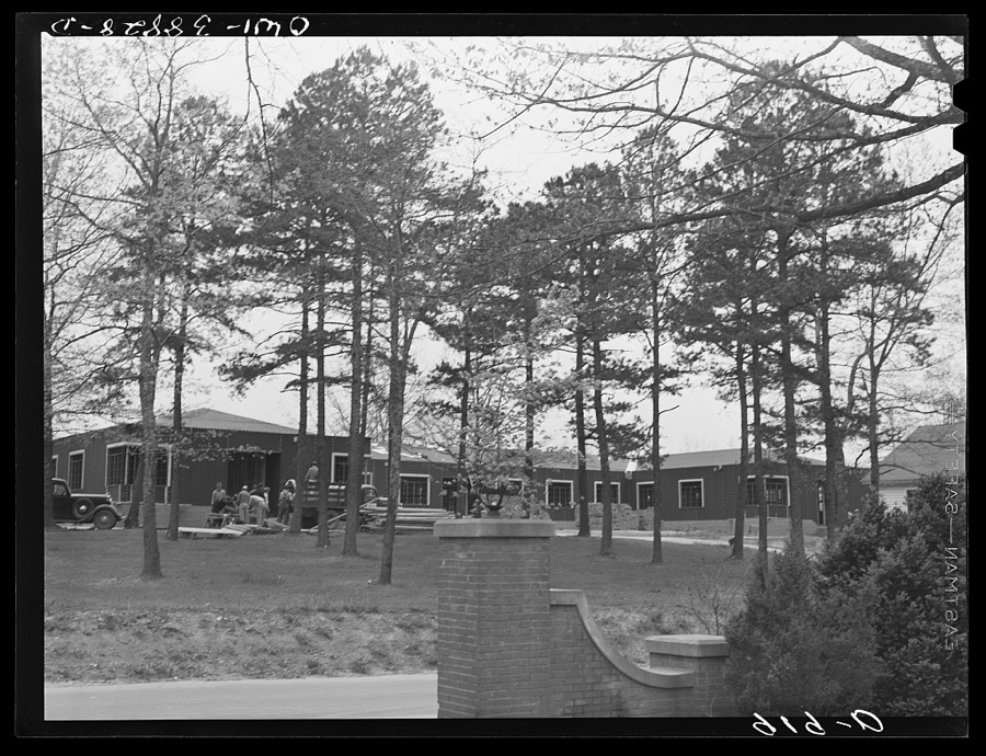
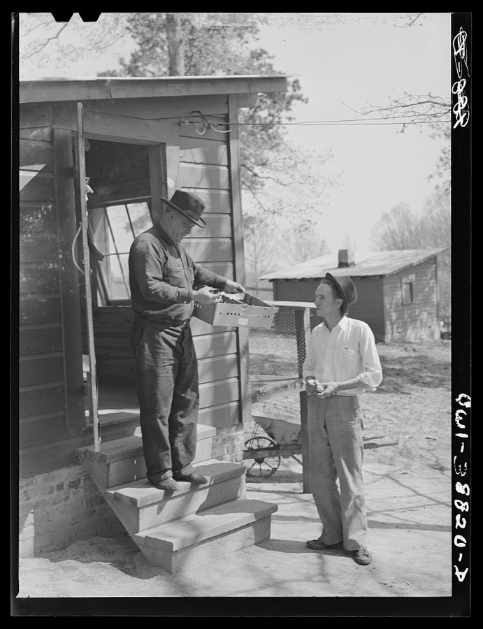
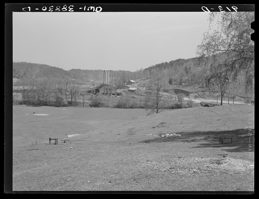
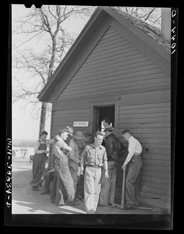
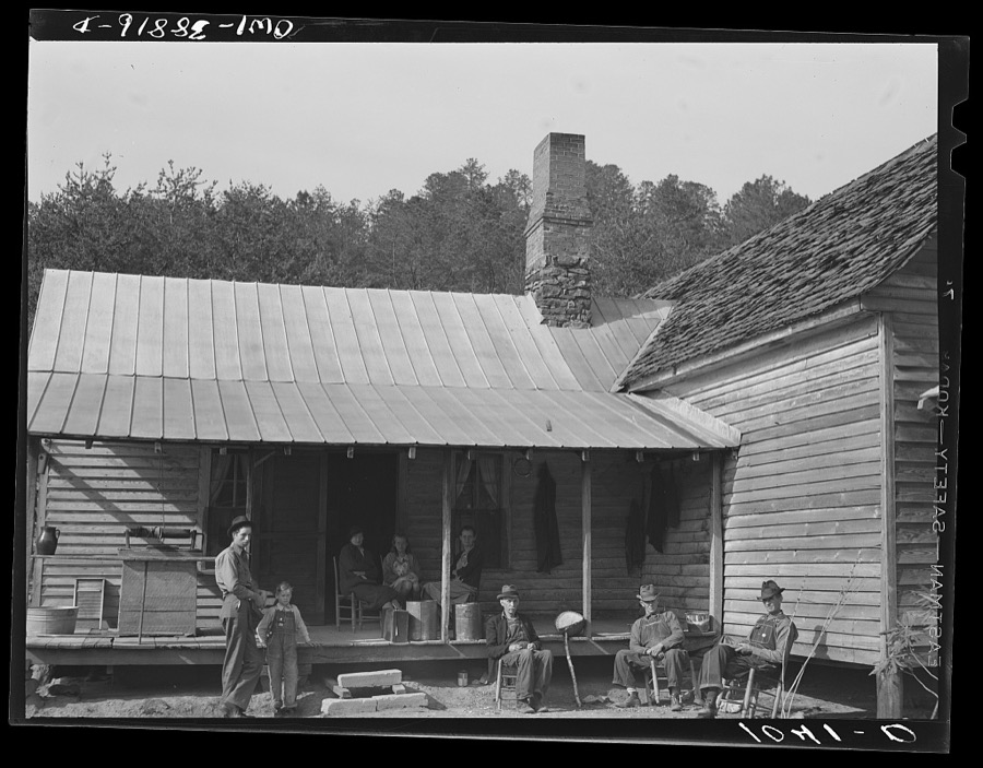
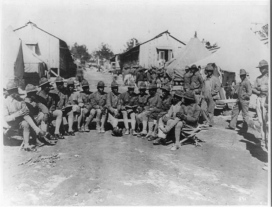
Taken for the Office of War Information and the Farm Security Administration, who photographed the country between 1935 and 1944. Works of United States government photographers, with no known restriction on use. Each opens its catalogue record.


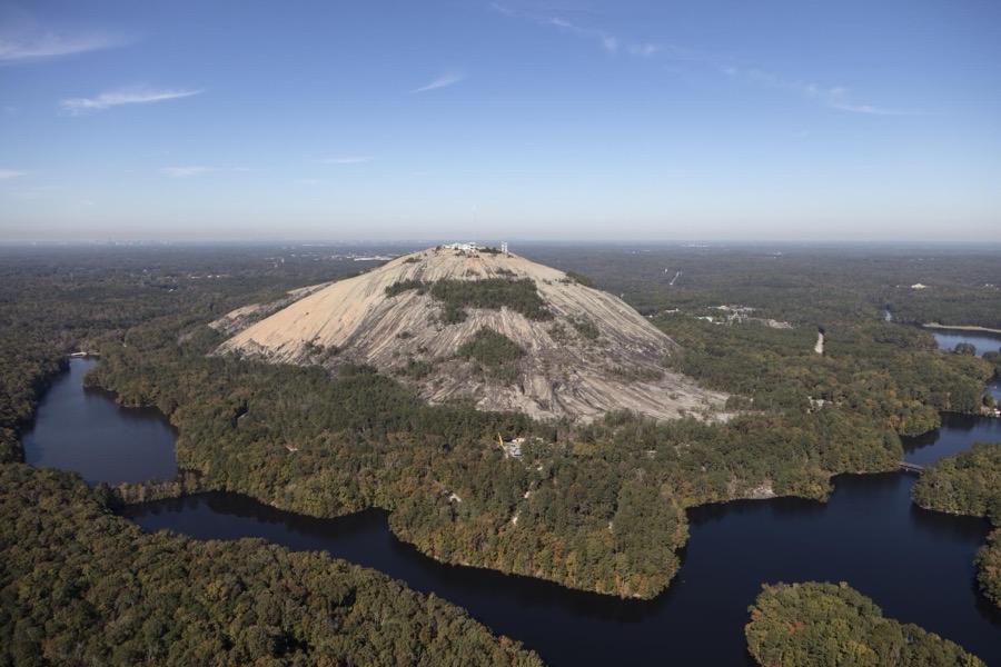
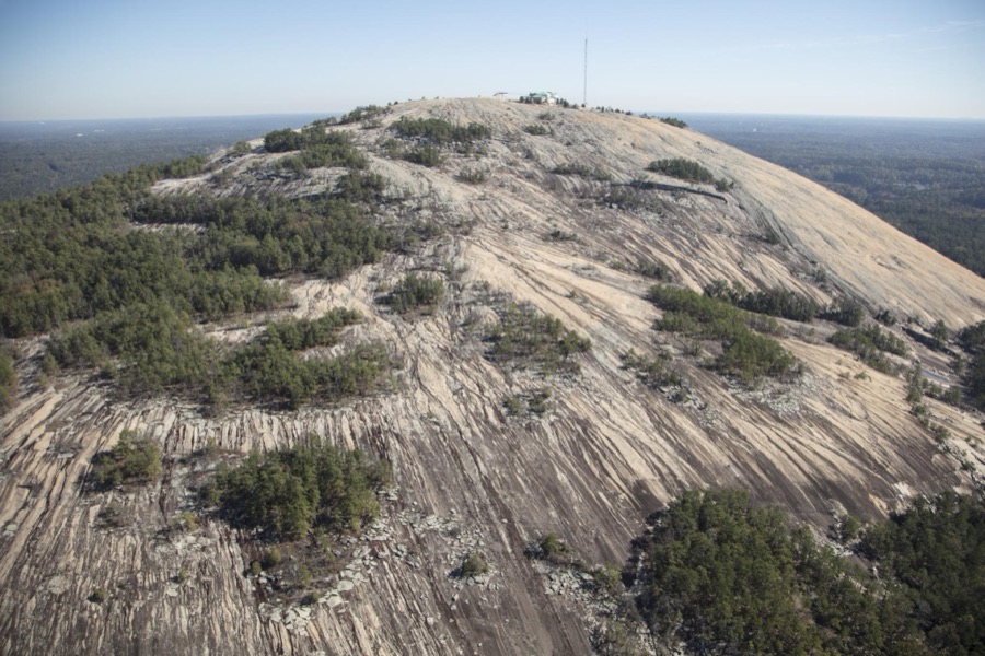

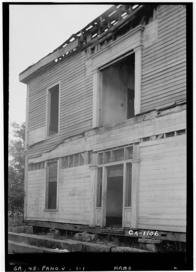
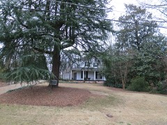
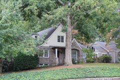
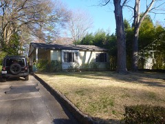
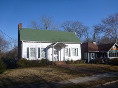
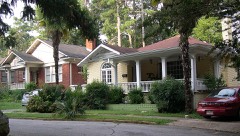
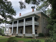
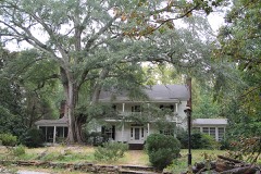
Every property in this county listed on the National Register of Historic Places, with the year it was listed and the federal nomination document.
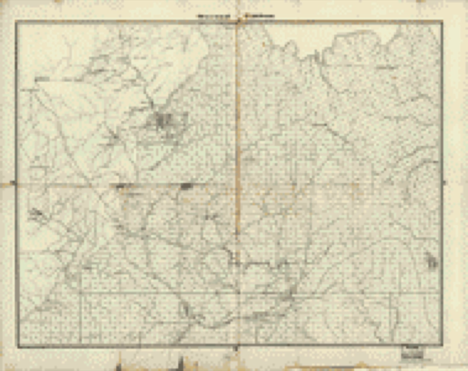
Drawn when these were printed as single large sheets: the town seen from the air, and the county divided into its farms with every owner named. Each opens the original at the Library of Congress.


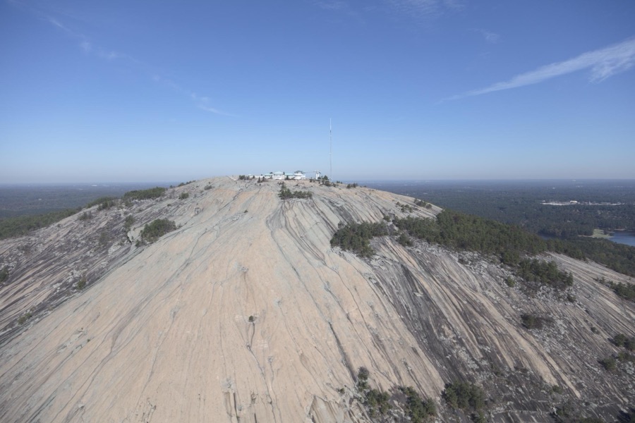
Selected from the Digital Public Library of America's 2 image records catalogued for this county. Every one shown here carries a public-domain status or a licence that permits reuse on a site that carries advertising; non-commercial, share-alike and restricted images are excluded. The selection is spread across the county's towns (at most eight per town), so no single institution's bulk upload crowds out the rest. Each opens the holding library's record, and the complete set at the Digital Public Library of America is one click away.


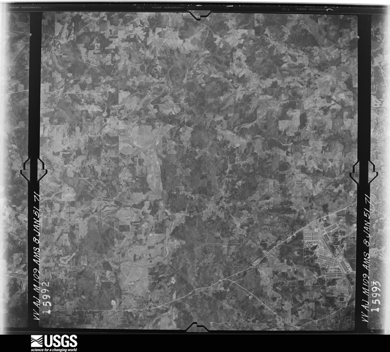
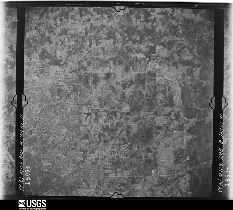
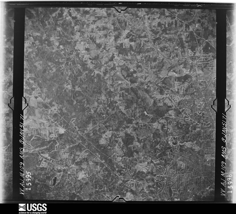
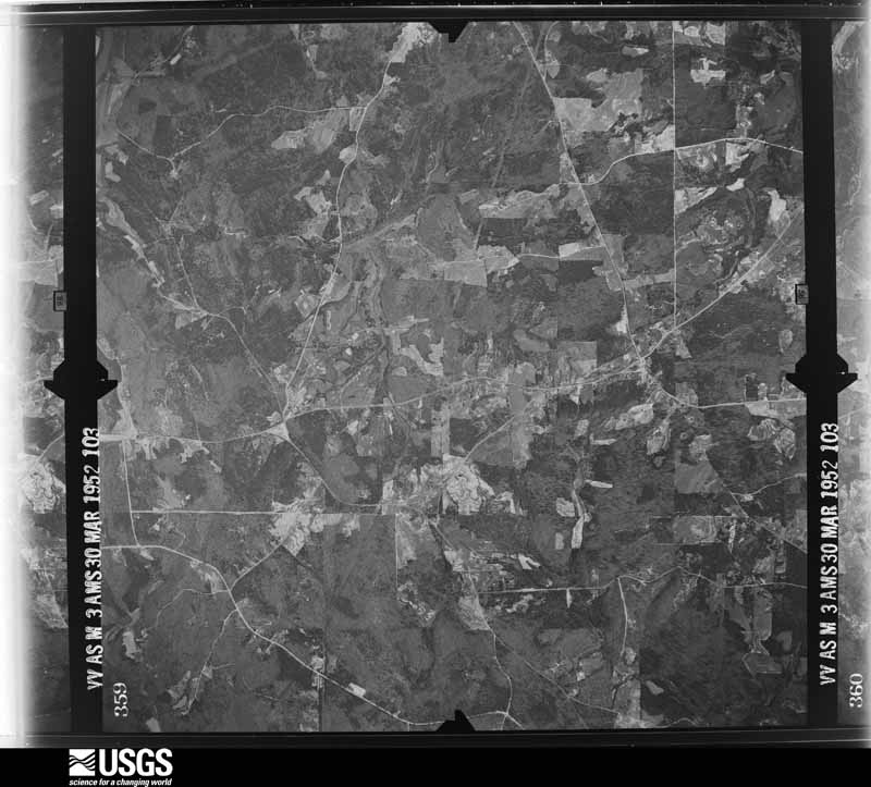
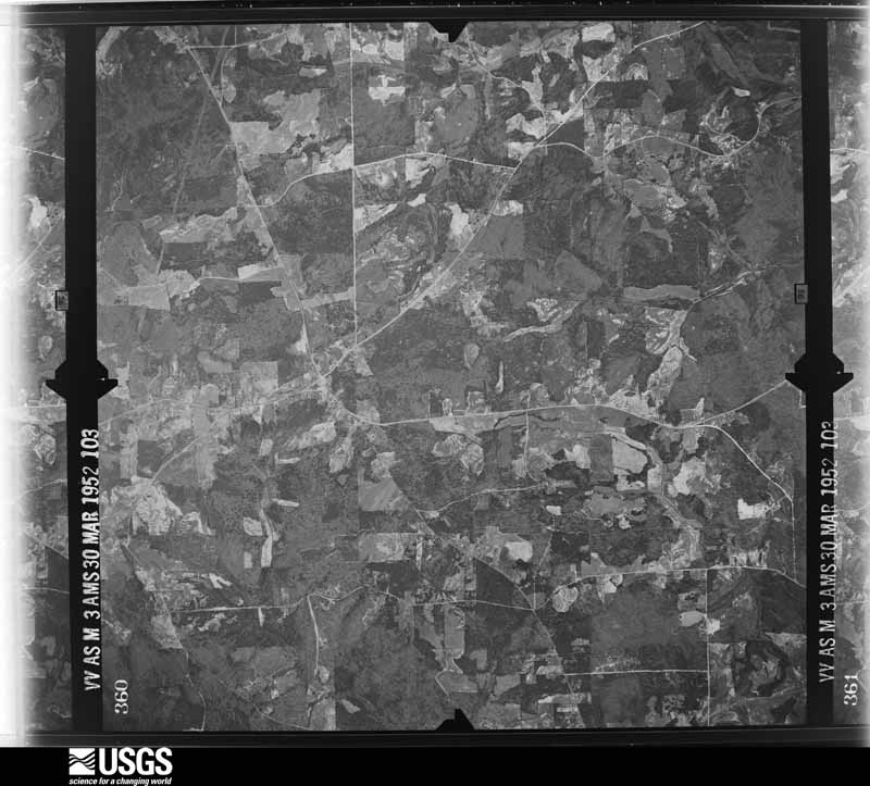
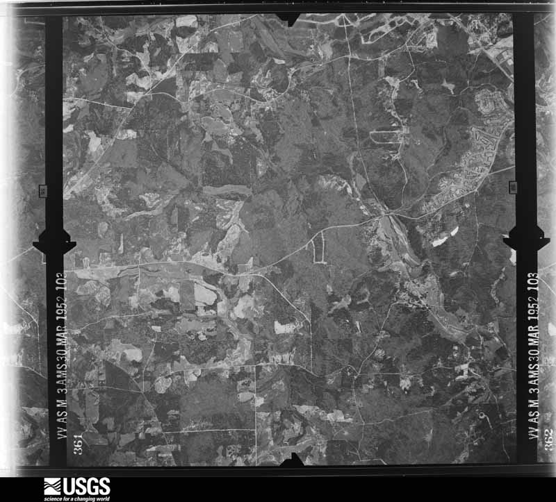
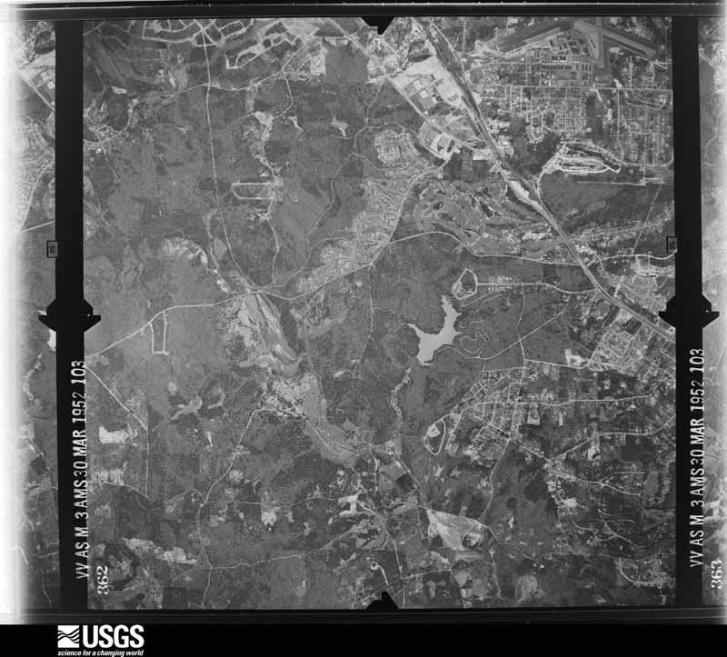
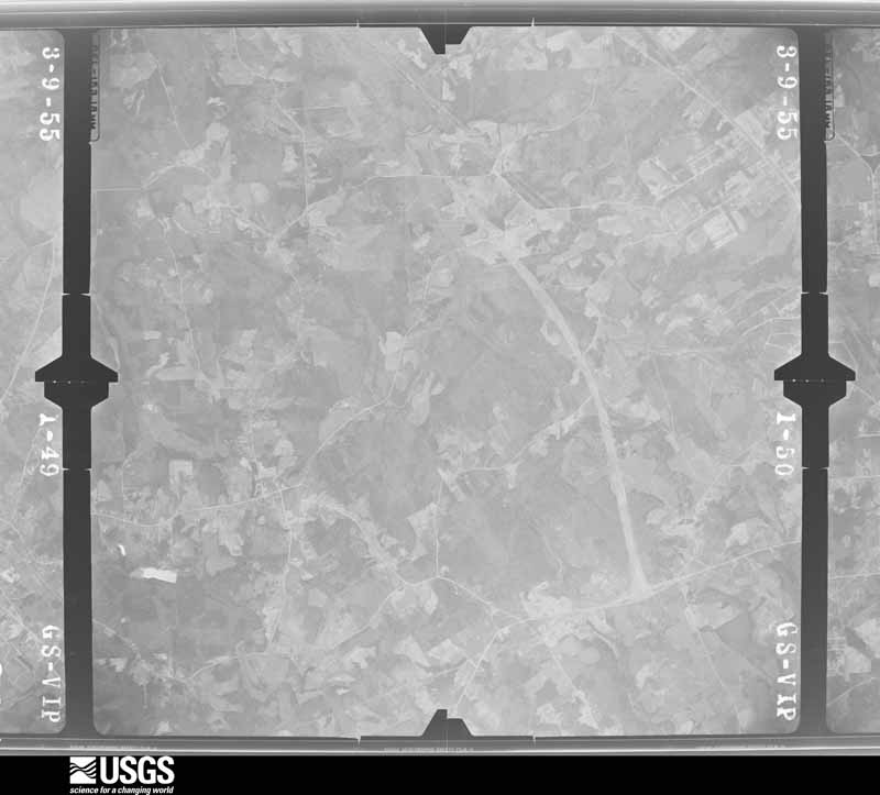
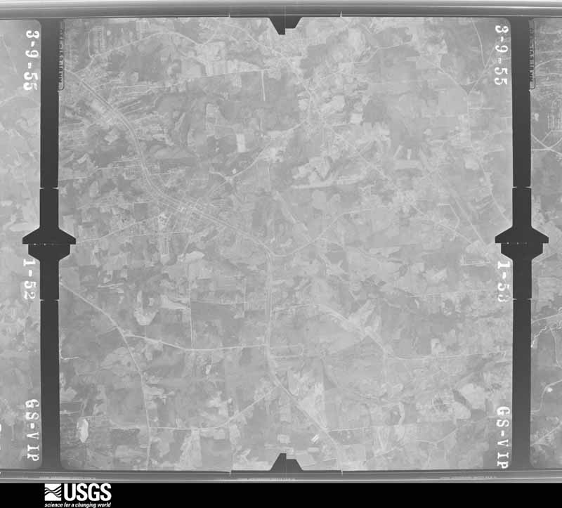
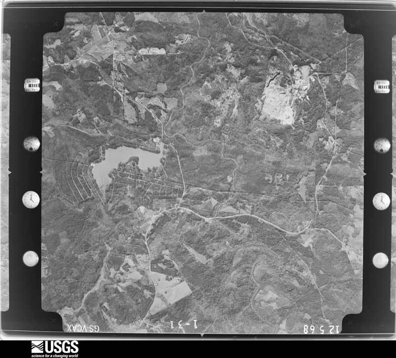
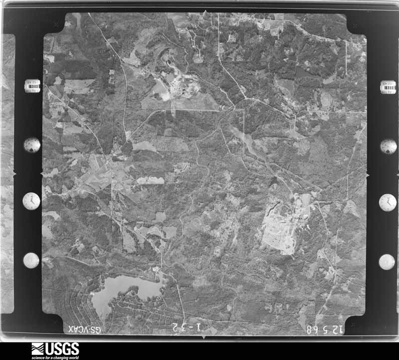
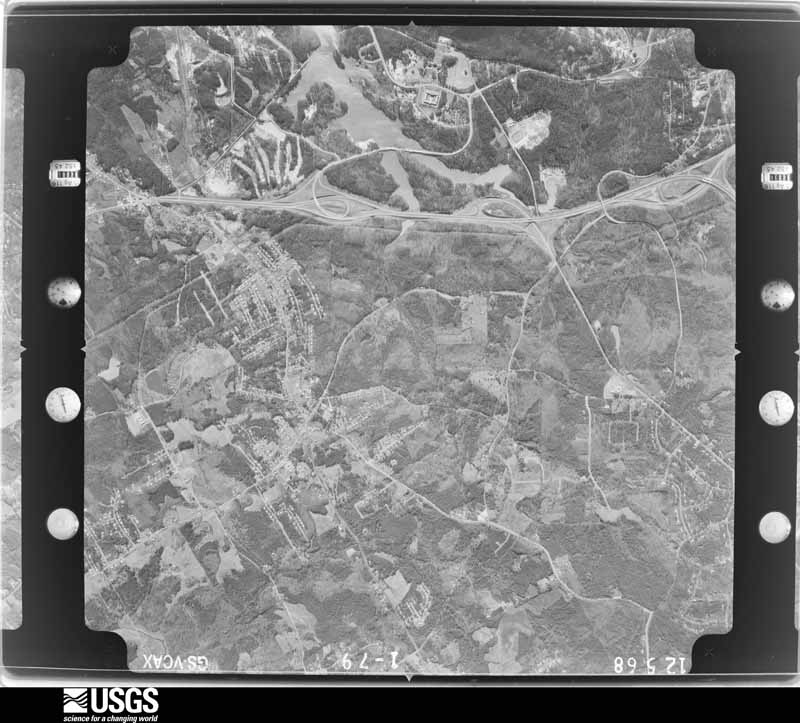
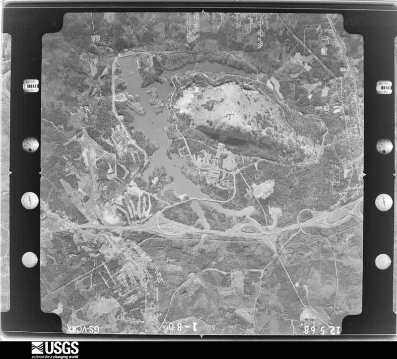
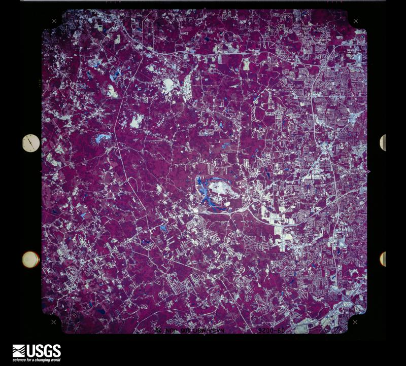
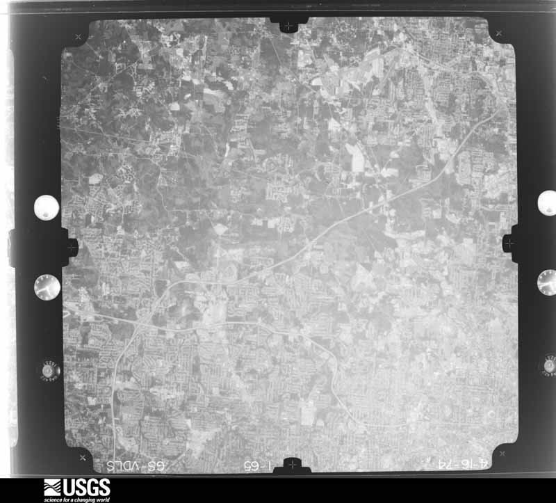
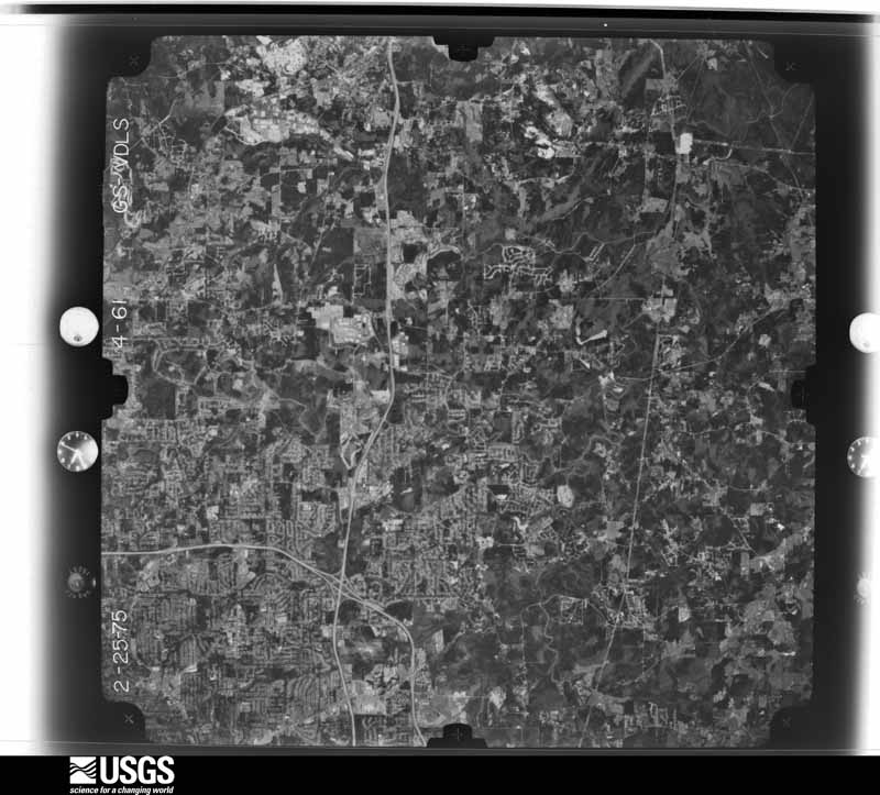
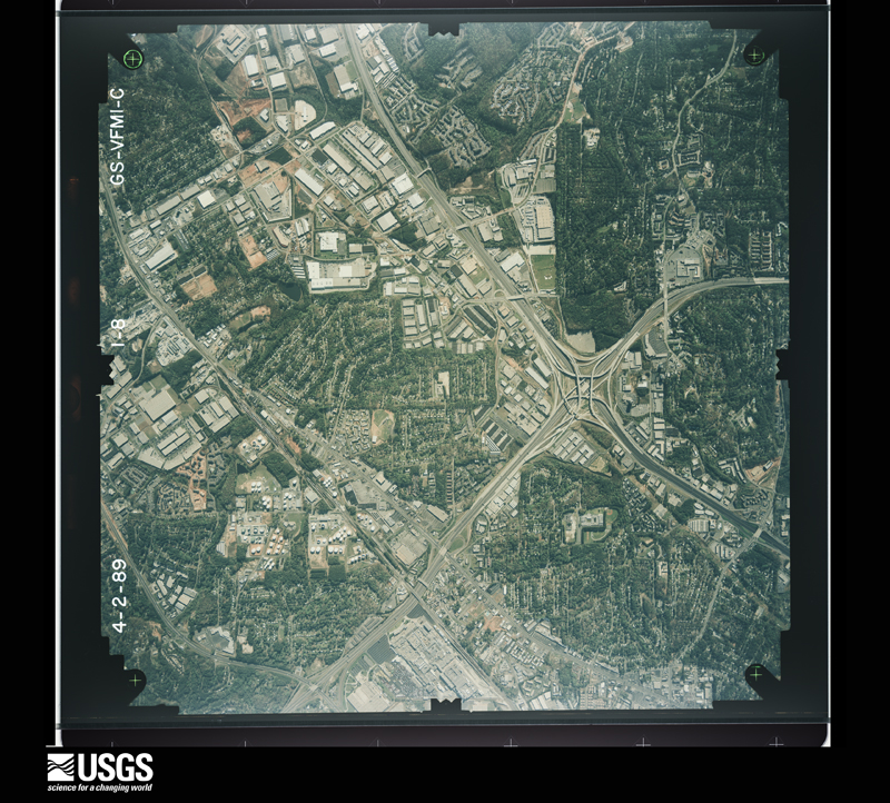
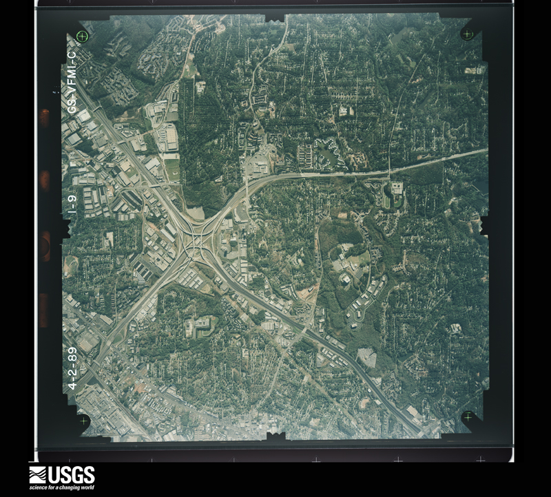
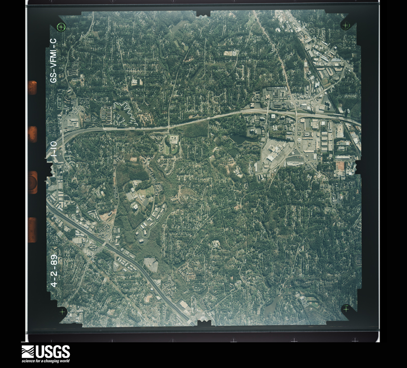
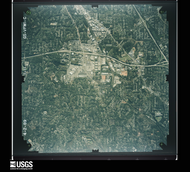
Flown by the U.S. Geological Survey between 1937 and 1989, the Aerial Photo Single Frames collection is the definitive mid-century view of the land: fields, roads and rivers as the camera saw them. The Survey holds 2,110 frames inside the rectangle that bounds this county; the 48 frames below were taken over the county itself, chosen across the decades of flights (at most four a year from that rectangle), so one flight cannot crowd out the rest. The full set is free to browse and download at EarthExplorer under the dataset Aerial Photo Single Frames.



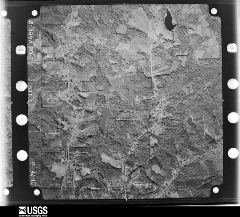
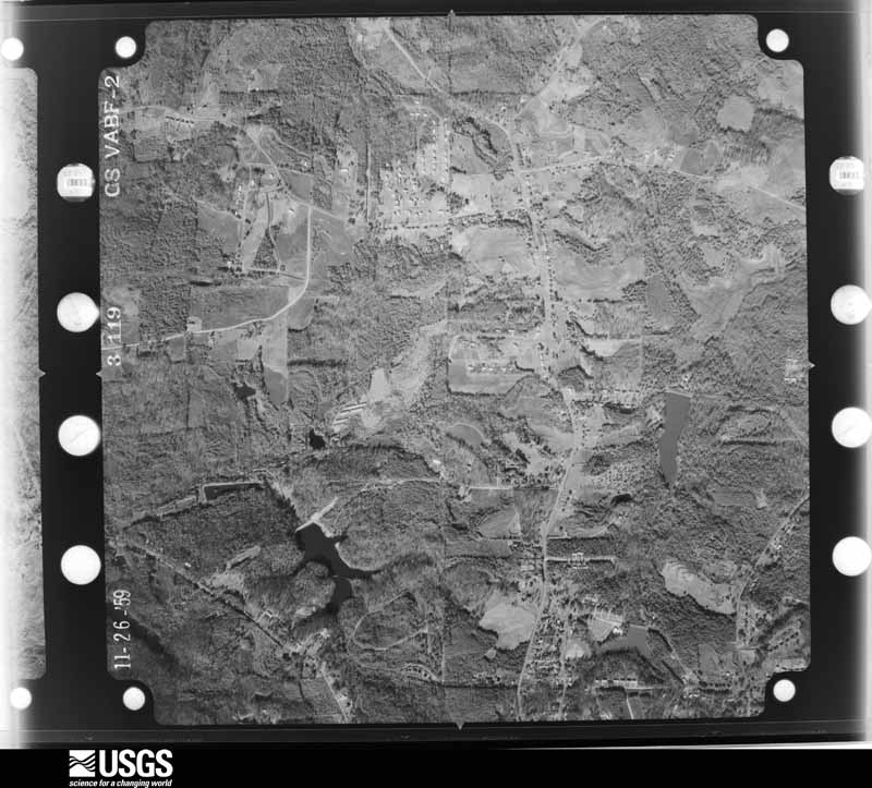
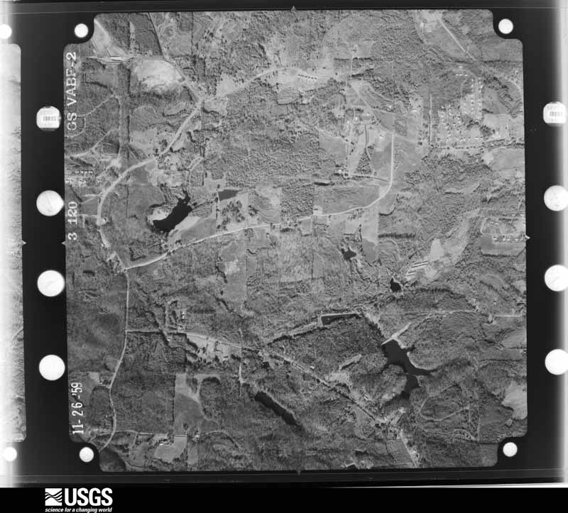
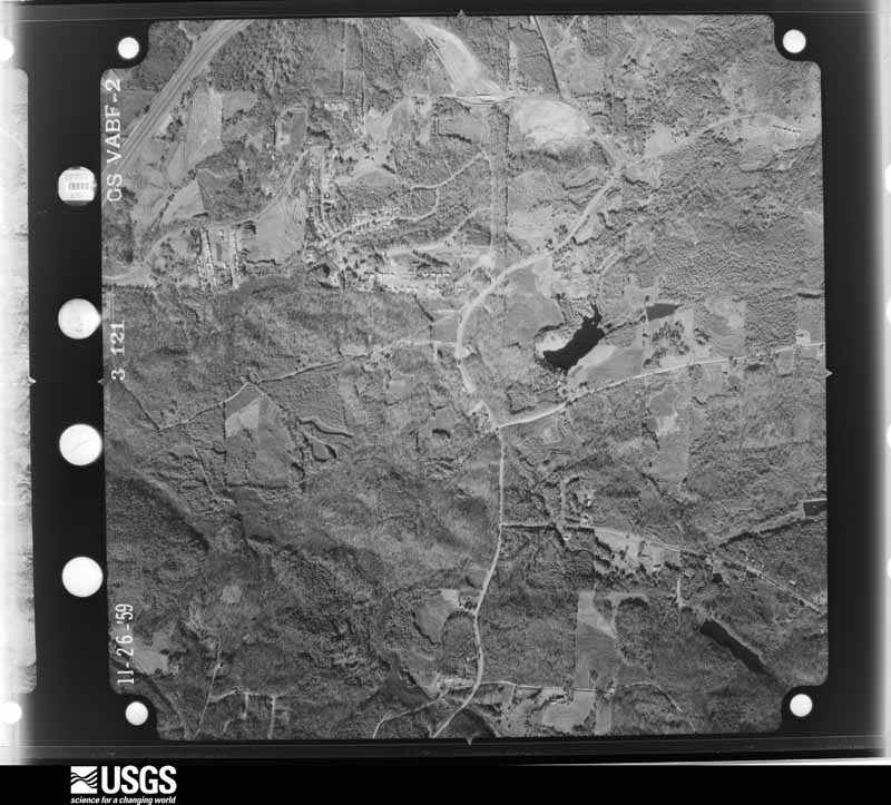
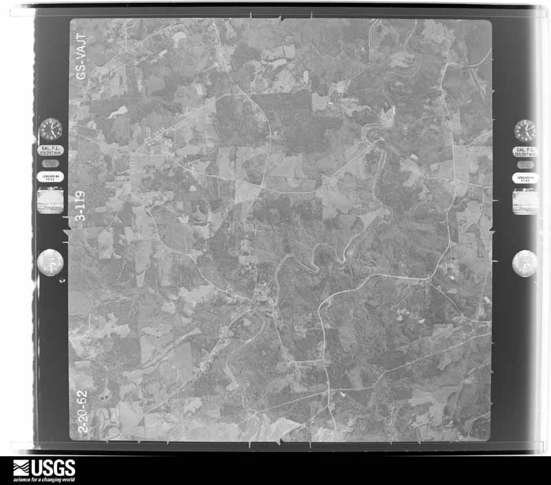
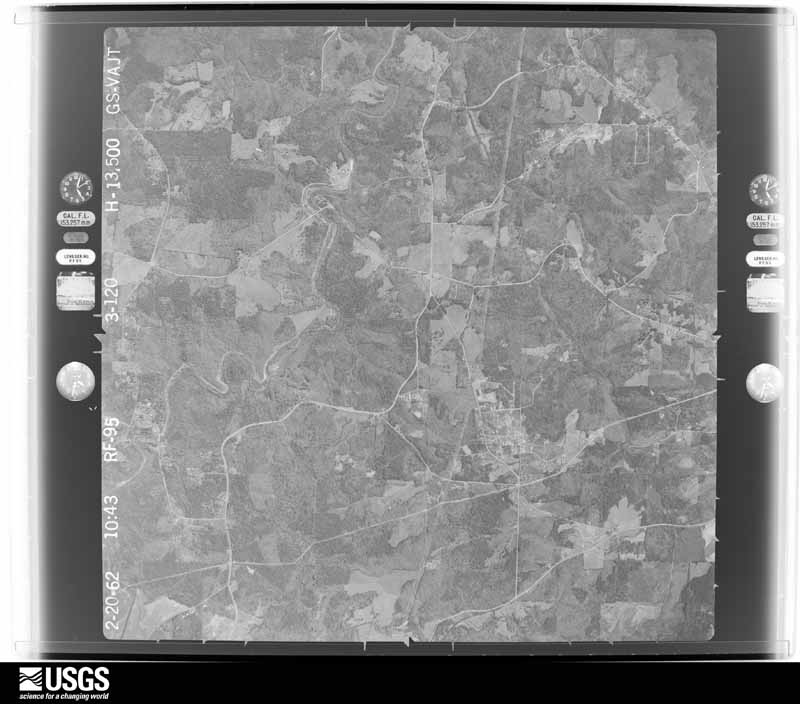
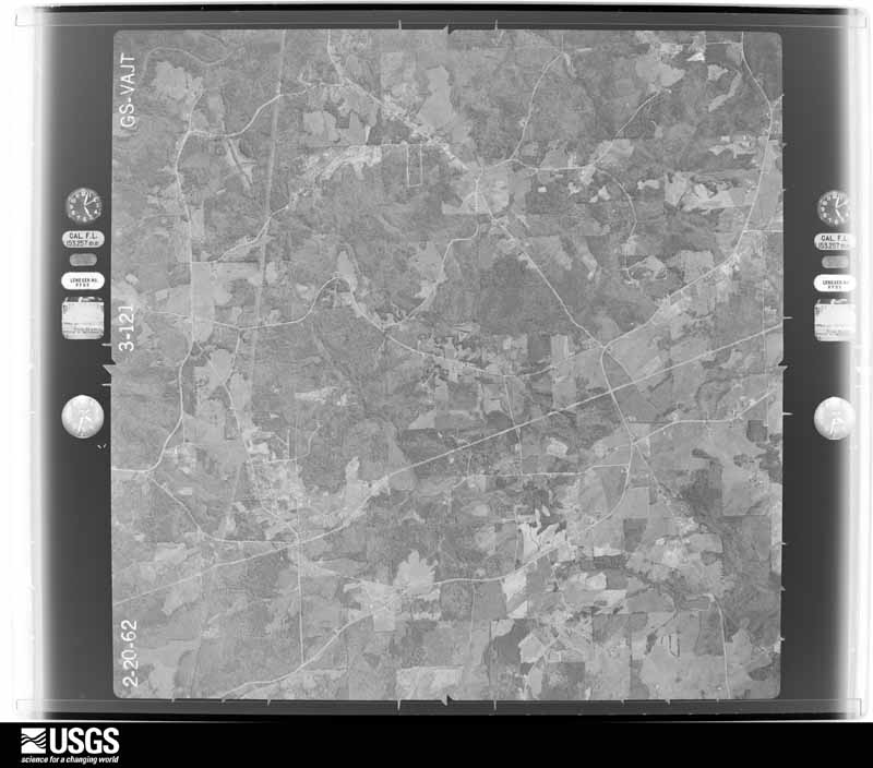
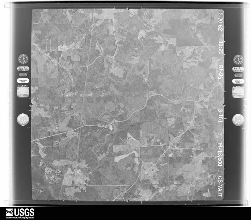

















The thermometers that kept this county's weather, and the gages that measured the flow of its streams, as the federal records hold them. The extremes below are measured values from those records, not estimates.
Who lived here in 1950, one enumeration district at a time, as the Census Bureau described each district. Each row opens its official National Archives result, with Population Schedules and ED Maps available there.
Every wildfire the federal occurrence database records inside this county: 158 of them, burning about 541 acres. 4 started naturally and 75 were recorded as arson. Each settlement page carries the fires within five miles of it.
| Reported cause | Fires |
|---|---|
| Arson/incendiarism | 75 |
| Recreation and ceremony | 17 |
| Debris and open burning | 17 |
| Misuse of fire by a minor | 14 |
| Missing data/not specified/undetermined | 13 |
| Smoking | 9 |
| Equipment and vehicle use | 9 |
| Natural | 4 |
The five largest, by the area the report gives. Four of them were set deliberately.
| Date | Cause | Size | Reported by | Name on the report |
|---|---|---|---|---|
| 19 March 1994 | Debris and open burning | 37 acres | Georgia Forestry Commission | not named |
| 6 March 2005 | Misuse of fire by a minor | 31 acres | Georgia Forestry Commission | not named |
| 12 March 1994 | Arson/incendiarism | 26 acres | Georgia Forestry Commission | not named |
| 26 December 1994 | Arson/incendiarism | 19 acres | Georgia Forestry Commission | not named |
| 29 March 2000 | Debris and open burning | 18 acres | Georgia Forestry Commission | FY2000-DEKALB-007 |
| 7 April 1995 | Arson/incendiarism | 18 acres | Georgia Forestry Commission | not named |
| 14 February 1996 | Arson/incendiarism | 16 acres | Georgia Forestry Commission | not named |
| 8 October 2016 | Debris and open burning | 16 acres | Georgia Forestry Commission | FY2017-DEKALB-001 |
Every settlement page carries the fires within five miles of it - see the settlement index below.
The NOAA Storm Events Database holds 521 reports for this county, causing 2 deaths, 15 injuries and about $68,597,700 in recorded property damage. Each settlement page carries the reports that name it.
| Kind of event | Reports |
|---|---|
| Thunderstorm Wind | 292 |
| Hail | 127 |
| Flash Flood | 55 |
| Lightning | 17 |
| Tornado | 16 |
| Flood | 9 |
| Heavy Rain | 4 |
| Winter Storm | 1 |
The most serious of them, by death, then injury, then recorded damage. The accounts are quoted exactly as the forecast office filed them.
| When | Event | Place named | Harm | What the report says |
|---|---|---|---|---|
| May 2004 | Lightning | Dunwoody | 1 killed, 1 hurt | The Atlanta-Journal/Constitution reported that a 34-year old man of Douglasville, who was installing a pool at a private residence, was struck and killed by lightning while leaning against a truck outside at the site. The bolt of lightning struck the ground about 30 feet from where the individual was located at the time. Another individual with the same construction crew had his back singed during the time of this same lightning strike. |
| April 1998 | Tornado (F2) | Dunwoody | 1 killed, $25,000,000 | The damage path began just northeast of Perimeter Mall in Dunwoody and extended well into Gwinnett county. There was significant widespread damage to trees and homes. One person was killed when a tree fell on his home. DeKalb College's north campus was closed after several buildings sustained major damage. |
| June 2004 | Lightning | Decatur | 4 hurt, $25,000 | The Atlanta Journal-Constitution reported that lightning struck and knocked over a large tree onto the Emory Wood Nursing Center on Oxford Road near Emory University. Four residents were trapped in the structure as a result and required hospitalization following the incident. One of the residents was wedged between a back wall and the tree where it had fallen on the nursing home. Later in the evening, all 38 residents of the home were evacuated. Lightning also struck a number of power lines and transformers in the area leaving a number of people without power during the evening. |
| August 2012 | Thunderstorm Wind | Oglethorpe Universit | 2 hurt, $75,000 | Broadcast Media relayed reports of several trees down in northern DeKalb County, especially toward the Dunwoody area. One tree fell on a home on Mendell Circle, injuring a man and his elderly aunt. |
| June 1966 | Tornado (F1) | not stated | 1 hurt, $250,000 | no account filed |
| August 2007 | Lightning | Lithonia | 1 hurt, $150,000 | The DeKalb County 911 Center reported that a home was struck and set on fire by lightning. One person in the area was also injured from a lightning strike. |
| March 1996 | Thunderstorm Wind | Lithonia | 1 hurt, $30,000 | no account filed |
| May 1976 | Tornado (F1) | not stated | 1 hurt, $25,000 | no account filed |
| June 1950 | Tornado (F1) | not stated | 1 hurt, $25,000 | no account filed |
| February 2020 | Thunderstorm Wind | North Atlanta | 1 hurt, $15,000 | The broadcast media reported a tree blown down onto I-285 westbound near Ashford-Dunwoody Road. The tree fell onto a car on I-285 with at least 1 injury reported. |
| June 2018 | Thunderstorm Wind | Oak Grove | 1 hurt, $15,000 | The DeKalb County Emergency Manager reported trees blown down from around the intersection of Sycamore Street and East Ponce De Leon Avenue to Sams Street and Shadowmoor Drive at South Columbia Drive. One tree fell onto a house at the Sycamore Street location with one person injured. No information was available concerning the extent of their injuries. |
| November 1984 | Thunderstorm Wind | not stated | 1 hurt | no account filed |
| September 2009 | Flood | Dunwoody | $6,100,000 | Record, and in some cases catastrophic, flooding continued to expand across the northern and western portions of the Atlanta metropolitan area as renewed rounds of showers and thunderstorms with very heavy rain tracked repeatedly over the same areas throughout the day. Portions of hundreds of roads in the county were closed from flooding and washed out bridges and/or culverts. Hundreds of homes, apartments, and businesses sustained significant flood damage. Record flooding was occurring on Peachtree Creek, the North Fork of Peachtree Creek, and Nancy Creek in northeast Atlanta. The interchange of Interstate-285 and Interstate-85 in northeast DeKalb county, known as Spaghetti Junction was completely shut down for nearly an hour early on the 21st because of flooding. Major traffic backups occurred as a result. A mud slide blocked two westbound lanes of U.S. Highway 78 at Hugh Howell Road. Other mud slides were reported within the county. These are just some of the more significant examples of flood damage in the county. Monetary damage during this time frame across DeKalb county was estimated to exceed $6 million. |
| September 2004 | Flash Flood | Countywide | $5,000,000 | Numerous reports were received from the DeKalb County Emergency Manager, the media, and the public of extensive flooding across much of the Atlanta metropolitan area, especially the northern parts of the county. Widespread flooding of roads, streets, and highways was reported throughout the county, several of which had to be closed. Many homes, businesses, property and vehicles across the county were flooded during this event. Major flooding was reported in many areas of the central and northern parts of the county, specifically between Interstates 20 and 285. Some of these areas experienced catastrophic and historical flooding, with some of the worst flooding observed in nearly 100 years. National Weather Service river gages showed that Peachtree Creek and Nancy Creek quickly rose to record flood levels during the late evening hours. Peachtree Creek rose above its flood stage of 17 feet at 545 pm EDT, then went into record flood stage at 845 pm EDT, then fell below flood stage between 5 and 6 am EDT September 17th. The river crested at 22.7 feet, which is 5.7 feet above flood stage and 1.5 feet above the record flood stage of 21.1 feet, previously reached in 1990. The river gage on Peachtree Creek was washed away during this event. Hundreds of residents along and near Peachtree Creek had to be evacuated, some by boat. Twenty-five to 50 homes and several apartment complexes, including the Peachtree Apartments, were impacted by the flood waters, many sustaining significant and extensive damage. Record flooding was also observed on Nancy Creek, which reached its 11 foot flood stage at 600 pm EDT, reached a record flood stage of 15 feet at 1130 pm EDT, then fell below flood stage around 4 am EDT September 17th. The impact in this area was similar to that near Peachtree Creek, with dozens of homes flooded and many residents having to be evacuated. In Decatur, one home was devastated when the waters of Peavine Creek rose over two feet in the basement of one home. A number of sinkholes were left in the county after the flooding receded, the largest being a 65 by 25 foot sinkhole on Durret Way in Dunwoody. |
| February 2005 | Hail | Druid Hills | $4,600,000 | An employee of the DeKalb County Water Department reported that hail ranging in size from pennies to greater than golf ball, on the order of 2.0 inches in diameter fell. |
| June 2007 | Hail | Stone Mtn | $4,500,000 | Several reports of large hail were received from the public across eastern DeKalb county from just south of Stone Mountain to the Rockdale county line south of Lithonia. Quarter-sized hail reports in the Lithonia area were common, with one report of golf ball to tennis ball-sized hail. |
| April 2021 | Hail | Deerwood Park | $4,000,000 | The public reported hail as large as golf balls in the East Lake area. |
| September 2009 | Flood | Dunwoody | $3,180,000 | DeKalb county emergency management personnel and USGS stream gages confirmed that major to record flooding continued to expand into all parts of the county. Hundreds of homes, apartments, businesses, and roads sustained damages from flooding. A number of culverts and/or bridges were washed out and several roads were closed. Flood waters began to recede after 830 am EDT on the 22nd, however, many areas remained in major to record flood through 715 am EDT on the 23rd. Monetary damage from flooding continued to mount, with damage near $3.2 million during this time frame. |
| February 2009 | Hail | Chamblee | $2,500,000 | The public reported nickel to golf-ball sized hail across northern DeKalb county from Chamblee to Tucker. |
| May 1978 | Tornado (F2) | not stated | $2,500,000 | no account filed |
| April 2009 | Hail | Tucker | $2,000,000 | The public observed penny-sized hail in the Tucker area and penny to golf ball-sized hail in the Stone Mountain area. Radar data suggests that large hail likely fell from Tucker to Stone Mountain and points just to the east. |
| March 2008 | Hail | Panthersville | $1,500,000 | The public observed golf ball-sized hail across the central and southeast portions of DeKalb county from west of Decatur to Lithonia. |
| September 2004 | Flash Flood | Northwest Portion | $1,000,000 | The DeKalb County Emergency Management Director reported major flooding was once again observed along Peachtree and Nancy Creeks across the northern portion of Atlanta. This information was confirmed by National Weather Service river gages on these creeks. The creek was within two feet of the record stage reached just 10 days earlier during the remnants of Hurricane Ivan. Major flooding affected many roads and homes, many of which were the same ones affected just 10 days prior. The Peachtree Apartments were flooded. Several evacuations and rescues were required. All of this flooding was the result of heavy rain which persisted on the northwest side of the remnants of Hurricane Jeanne as it moved through East Central Georgia. |
| September 2009 | Flash Flood | Dunwoody | $760,000 | Several USGS stream gages showed significant flooding commencing during this time frame across DeKalb county as thunderstorms with heavy rain, which had been west of the area most of the night, began to edge east-northeast and develop across Fulton, DeKalb, and Gwinnett counties. The South Fork of Peachtree Creek at Johnson Road reached its flood stage of 12.0 feet at 128 am EDT. The North Fork of Peachtree Creek at Buford Highway reached its flood stage of 12.0 feet at 201 am EDT. Many homes, apartments, and businesses began to experience significant flooding during this time frame, especially in the vicinity of the flooded creeks. A number of roads also became flooded, impassable, and were closed. Monetary damage to roads and property during this time frame was estimated to exceed $750,000. |
| June 2003 | Flash Flood | North Portion | $500,000 | Fox 5 News of Atlanta reported that extensive flooding was occurring in the Brookhaven area. Several hundred people in Brookhaven had to be rescued from their apartments. This flooding was attributed to the rapid rise of Peachtree Creek. In some places the water was 10 feet deep. Several other roads across the northern portion of the county were also flooded, including Clairmont Road and Buford Highway. One resident on Drew Valley Road in Decatur reported that her neighbor's play set washed into her yard over an 8 foot fence. |
| August 2009 | Lightning | Doraville | $300,000 | WSB Television of Atlanta reported that lightning strikes resulted in two house fires in the Chamblee and Tucker area of northern DeKalb county. A two story home on Beacon Court and another two-story home on Laurel Post Court both suffered extensive damage from lightning-related fires. |
| October 2020 | Tornado (EF0) | Glen Haven | $250,000 | A National Weather Service survey team found that an EF0 tornado with maximum wind speeds of 80 mph and a maximum path width of 250 yards travelled 1.7 miles across a portion of south central DeKalb County. The tornado touched down just north of I-20 near Wesley Chapel Road and Cross Lane, snapping several small trees and pulling a few shingles off of roofs. The tornado moved north northwest causing more extensive damage between Lindsey Drive and Oak Valley Road. In this residential area, including Sherwood Avenue and Hanes Drive, multiple large trees were snapped or uprooted with several falling on homes and taking down utility/power lines. The tornado weakened as it continued north northwest with several additional small trees snapped along its path over Belvedere Square and just across Covington Highway along South Indian Creek Drive. No injuries were reported. [10/10/20: Tornado #6, County #1/1, EF-0, DeKalb, 2020:033]. |
| May 2003 | Flash Flood | North Atlanta | $250,000 | Very heavy rain forced Peachtree Creek in North Atlanta to rise quickly to flood stage. The creek crested at 18.5 feet around 4 am EDT, 1.5 feet above the flood stage of 17.0 feet. Flooding of nearby roads, including Hanover West Drive, resulted. The lower levels of several apartments nearby were flooded as well as yards of homes near the creek. Nancy Creek, which flows into Peachtree Creek, was also in flood as a result of the heavy rain. |
| July 1978 | Tornado (F1) | not stated | $250,000 | no account filed |
| January 1972 | Tornado (F3) | not stated | $250,000 | no account filed |
| August 1969 | Tornado (F1) | not stated | $250,000 | no account filed |
| August 2006 | Thunderstorm Wind | Stone Mtn | $225,000 | The Stone Mountain Public Safety Office reported that a thunderstorm downburst caused extensive damage to trees, campers, and vehicles in part of the Stone Mountain Park. More than 50 trees were blown down. A number of the downed trees fell on campers and vehicles in the area, some of which were destroyed when the large trees fell on the property. |
| December 2024 | Tornado (EF0) | Dunwoody | $200,000 | An EF0 tornado damaged approximately 10 homes and one apartment unit where the roof was partially ripped off of a three story building. About 50 to 100 large trees and several power poles were snapped or uprooted falling on several homes two of which had significant damage. No injuries have been reported. |
| July 2007 | Lightning | Chamblee | $200,000 | Local Atlanta broadcast media reported that a house was set on fire by a lightning strike on Oakland Trace near Oglethorpe University. |
| July 1999 | Lightning | Clarkston | $200,000 | Lightning sparked fires at the Highland Villa apartments on Brockett Way and at the Park on Candler apartments. Two firemen were injured when the building collapsed on them at the Candler Road fire. At least 2 other fires in DeKalb county were caused by lightning strikes. |
| December 2015 | Flash Flood | Doraville | $150,000 | A USGS stream gauge on North Fork Peachtree Creek at Buford Highway or Georgia Highway 13 near Atlanta reached flood stage of 13 feet. The creek crest at 14.8 feet. Significant flooding occurred upstream and downstream from the gauge. Large portions of the backyards of residential homes on Victory Drive...Dunwoody Place and Converse Drive flooded with around two feet of water. A portion of the Sun Tan Center parking lot near the gauge flooded. A few roads and culverts in the area were damaged or washed out. |
| December 2015 | Flash Flood | North Druid Hills | $150,000 | A USGS stream gauge on the South Fork Peachtree Creek at Johnson road near Atlanta reached flood stage of 13 feet. The creek crest at 13.9 feet. Minor flooding occurred upstream and downstream from the gauge Portions of backyards of residential homes on Noble Drive...Helen Drive and Kay Lane were flooded with around one foot of water. A few roads and culverts were damaged or washed out in the area. |
| May 2011 | Thunderstorm Wind | Gresham Park | $150,000 | WSB Television of Atlanta reported that a number of trees were down across DeKalb county. Two very large oak trees fell through the second story of a home on Mountain Oaks Parkway in Stone Mountain causing major damage to the structure. The second floor of the home was virtually completely destroyed. |
| March 2017 | Thunderstorm Wind | North Druid Hills | $100,000 | The DeKalb County Emergency Manager reported several trees blown down from North Druid Hills to Clarkston. Trees were blown down on cars and houses on Verona Drive and Tanner Drive and a large tree fell on a home on Coralwood Drive. No injuries were reported. |
| August 2012 | Thunderstorm Wind | Vista Grove | $80,000 | Broadcast Media relayed reports of several trees down across northeast Atlanta, including on Iverson Avenue, Hardee Street and Sinclair Avenue. A tree fell on Fox Brothers Barbeque on DeKalb Avenue. No one was injured. |
| June 2013 | Thunderstorm Wind | North Atlanta | $70,000 | A National Weather Service storm survey team determined that the tree damaged caused in northern DeKalb County was a result of strong thunderstorm winds. Several trees were snapped or uprooted along Ashford Dunwoody Road Northeast, especially near Murphey Candler Park. Some trees were down on houses. Additional trees were snapped and uprooted off Lanier Drive Northeast, and a large tree was blown down across Peachtree Road Northeast not far from the Peachtree-Ashford Dunwoody intersection. |
| August 2012 | Thunderstorm Wind | Redan | $70,000 | The DeKalb County police department reported that a tree was blown down on a house along Rockmoor Drive. |
| August 2019 | Thunderstorm Wind | Pittsburg | $60,000 | The DeKalb County Emergency Manager and the local broadcast media reported dozens of trees and a few power lines blown down in the Embry Hills area along Embry Hills Drive. A wind gust of 57 mph was measured by Georgia DOT equipment in this area as well. Some trees fell onto homes and automobiles. |
| November 2015 | Tornado (EF0) | Rehoboth | $60,000 | A NWS survey team determined that a very brief EF0 tornado touched down just northeast of the Mountain Industrial Blvd exit north of the Stone Mountain Pkwy near Tucker. Structural damage occurred at two locations along Hammermill Road. The front part of a north-facing wall was ripped apart at one location while across the street part of the roof and metal siding on the front of another building was peeled back. Just behind the first building, two pine trees were uprooted. Maximum wind speeds were estimated at 75 MPH. [11/18/15: Tornado #3, County #1-1, EF0, DeKalb, 2015:013]. |
| April 2016 | Thunderstorm Wind | Oglethorpe Universit | $50,000 | The broadcast media reported trees blown onto power lines on Windsor Parkway near Osbourne Road and a large tree blown down onto a home with extensive roof damage on Westminster Way NE. |
| January 2015 | Thunderstorm Wind | (Pdk)Dekalb Peachtre | $50,000 | A NWS survey team found thunderstorm wind damage in north DeKalb County. Damage was first noted to trees along Shallowford Road near the North Fork of Peachtree Creek. Several trees were downed along Cosmos Drive N.E. with some damage to homes due to falling limbs. A large tree was downed on a home on Hawthorne Place with several other trees down surrounding the home. Trees were also downed along Jasmine Court and Canna Ridge. Extensive tree and home damage was noted along Braithwood Road and Applewood Court where numerous trees were downed on homes. All damage noted to structures was due to falling trees or branches. |
| June 2011 | Thunderstorm Wind | Henrico | $50,000 | The DeKalb County 911 Center reported that at least two large trees and more than six power lines were down across the county. At least one home on Dahlia Drive, three miles east-southeast of Decatur, sustained damage from a fallen tree. Power lines were down on McClendon Drive and a tree was down on U.S. Highway 78 near Mountain Industrial Boulevard. A trained spotter recorded a wind gust of 60 mph at 415 pm EDT near Gresham Park. |
| June 2011 | Thunderstorm Wind | Chamblee | $50,000 | The public reported that thunderstorm winds blew a large tree down onto a home near Chamblee causing damage to the home and an adjacent truck. |
| May 2010 | Flash Flood | Dunwoody | $50,000 | Several creeks across DeKalb county reached and exceeded flood stage during this period. This was verified by USGS stream gages. On the South Fork of the Peachtree Creek at Johnson Road, the flood stage of 12.0 feet was reached at 640 am EDT. The creek continued to rise and crested at 14.1 feet at 815 am EDT. The North Fork of Peachtree Creek at Buford Highway reached its flood stage of 12.0 feet at 710 am EDT, then crested at 15.1 feet at 130 pm EDT. On Snapfinger Creek in the southern part of the county, the flood stage of 12.0 feet was reached at 740 am EDT. The creek continued to rise to 12.7 feet at 915 pm EDT. The DeKalb County Emergency Management Director reported that flood waters from the upper South Fork of Peachtree Creek flooded the crawl spaces of several apartments on Lansbury Village Drive. Forty-five people had to be evacuated until the buildings were inspected and cleared of structural problems related to the flood waters. Damages from the flash floods in DeKalb county were estimated to be $50,000. |
| March 2008 | Tornado (EF1) | Vista Grove | $50,000 | A ground and aerial survey conducted by the National Weather Service Forecast Office in Peachtree City, Georgia in cooperation with the Atlanta Police Department confirmed that the EF2 tornado, that tracked through the heart of downtown Atlanta in Fulton county, continued into extreme western DeKalb county as an EF1 tornado before lifting. The tornado tracked approximately one mile into DeKalb county, entering the county near the intersection of Moreland Avenue and Glenwood Avenue and lifting just west of Interstate 20 near the intersection of Josephine Avenue Southeast and Braeburn Street. Damage within DeKalb county was generally confined to spotty tree and roof damage. Within DeKalb county the tornado had a maximum path width of 100 yards. |
| July 2003 | Thunderstorm Wind | North Druid Hills | $50,000 | The public reported that a number of trees had been blown down. Atlanta TV Channel 46 reported that one tree fell on a church on Clairmont road in Chamblee, causing damage to the structure. The county 911 center later reported that some power lines were down in the Stone Mountain area. The Atlanta Journal-Constitution reported that in Decatur, a very large oak tree fell on and crushed a car with two occupants inside. However, no injuries were reported with this incident. |
| May 1999 | Hail | Druid Hills | $50,000 | Numerous public reports indicated large hail ranging from golf ball size up to as large as 2 inches in diameter fell across Dekalb county. Damage to vehicles occurred. |
| May 1994 | Thunderstorm Wind | Lithonia | $50,000 | Several power lines and large trees were downed by thunder- storm winds throughout county with Lithonia hardest hit. |
| May 1994 | Thunderstorm Wind | Marietta | $50,000 | Several large trees and power line were toppled by thunderstorm winds near the I-75/I-285 interchange. At Naval Air Station - Atlanta, located in Marietta, thunderstorm winds also ripped a tent from its moorings which damaged the tail section of a B-52 bomber. Over 200 Cobb county residents were without power for at least three hours from downed trees on power lines. |
| August 2014 | Flash Flood | Constitution | $30,000 | The public reported minor flooding of residential yards along portions of Snapfinger, Cobb, Shoal, Intrenchment and Stone Mountain Creeks in portions of central and south DeKalb County. The overflow of water from Snapfinger Creek flooded several cars in the Redan Village Apartments complex off of Redan Road. |
| August 2024 | Thunderstorm Wind | Henrico | $25,000 | Numerous trees down in and around the ellenwood community near linecrest rd. Several homes and cars damaged severely by falling trees. |
| January 2020 | Thunderstorm Wind | Druid Hills | $25,000 | The DeKalb County Emergency Manager and local broadcast media reported several trees and power lines blown down from Brookhaven to Decatur. One tree fell onto a home in Brookhaven, no injuries were reported. |
| June 2017 | Flash Flood | Buchanan | $25,000 | Heavy rainfall resulted in flash flooding across northern DeKalb county, especially in areas along Nancy and Peachtree Creeks. The Emergency Manager reported residential water rescues occurred at locations on Warrenhall Lane along Nancy Creek. Flood waters also covered Bamby Lane along North Fork Peachtree Creek, and Cove Circle and Burch Circle in the Drew Valley Neighborhood. A smaller creek flowed out of its banks and inundated Dresden Road. A person was rescued near the intersection of Oakcliff Road and Pleasantdale Road after their vehicle stalled in approximately two feet of water. Portions of South Fork Peachtree Creek flooded, eroding the area around Plantation Park Apartments, resulting in a partial collapse of the foundation. No injuries were reported. Rainfall estimates indicate that widespread 3 to 6 inches of rain occurred over northern DeKalb county. |
| April 2011 | Thunderstorm Wind | Druid Hills | $25,000 | The DeKalb County 911 Center reported that a large tree fell on a home in North Druid Hills causing significant damage to the structure. |
| July 2009 | Thunderstorm Wind | Emory University | $25,000 | WSB TV of Atlanta reported that a large tree fell across two vehicles on La Vista Road near Decatur. No injuries were reported. |
The Survey's mineral resources record lists 15 workings inside this county. 9 still produce and 6 are closed or unrecorded. Each settlement page carries the workings within five miles of it.
| Commodity | Workings |
|---|---|
| Granite | 9 |
| Stone, Crushed/Broken | 4 |
| Sand and Gravel, Construction | 1 |
| Mica | 1 |
The least common of them first, because a county's hundredth gravel pit says nothing its first ten did not.
| Where | Site | Commodity | Status | Recorded |
|---|---|---|---|---|
| Lawson Sand & Gravel | Sand and Gravel, Construction | Producer | ||
| Vaughn Deposit | Mica | Occurrence | ||
| Big Ledge Quarry | Stone, Crushed/Broken | Producer | ||
| Lithonia Quarry | Stone, Crushed/Broken | Unknown | ||
| Pine Mountain Quarry | Stone, Crushed/Broken | Producer | ||
| Rock Chapel Quarry | Stone, Crushed/Broken | Producer | ||
| Banks Quarry | Granite | Past Producer | ||
| Barber's Quarry | Granite | Producer | ||
| Fowler's Quarry | Granite | Past Producer | ||
| North Georgia Quarry | Granite | Producer | ||
| Pine Mountain Quarry | Granite | Producer | ||
| Pine Mountain Quarry | Granite | Past Producer | ||
| Pine Mountain Quarry | Granite | Past Producer | ||
| Reagin Quarry | Granite | Producer | ||
| Stone Mountain Quarry | Granite | Producer |
Named settlements recorded in the Geographic Names Information System, each with the topographic sheets covering it. Villages, hamlets and abandoned places alike. Each is shown with the nearest named watercourse or landform and the survey quadrangle it falls on. The 2 places that were also surveyed for fire insurance come first, with the number of atlases and photographs held for them.
Lithonia census division · 30058 · Near Pine Mountain · Conyers quadrangle
21 sheets, 1888 to 1999
Fire insurance: 5 atlases
Stone Mountain census division · 30087 · On Crooked Creek · Snellville quadrangle
22 sheets, 1888 to 1999
Atlanta-Decatur census division · 30002 · Northeast Atlanta quadrangle
21 sheets, 1888 to 1997
Lithonia census division · 30058 · On Barbashela Creek · Redan quadrangle
23 sheets, 1888 to 1999
Atlanta-Decatur census division · 30032 · On Shoal Creek · Northeast Atlanta quadrangle
21 sheets, 1888 to 1997
Atlanta-Decatur census division · 30034 · On Panthers Branch · Redan quadrangle
23 sheets, 1888 to 1999
Lithonia census division · 30087 · On Crooked Creek · Snellville quadrangle
22 sheets, 1888 to 1999
Atlanta-Decatur census division · 30288 · On Sugar Creek · Southeast Atlanta quadrangle
21 sheets, 1888 to 1993
Atlanta-Decatur census division · 30294 · On Sugar Creek · Southeast Atlanta quadrangle
21 sheets, 1888 to 1993
Stone Mountain census division · 30087 · On Little Stone Mountain Creek · Stone Mountain quadrangle
24 sheets, 1888 to 1997
Atlanta-Decatur census division · 30034 · On Shoal Creek · Southeast Atlanta quadrangle
21 sheets, 1888 to 1993
Atlanta-Decatur census division · 30034 · On Conley Creek · Redan quadrangle
23 sheets, 1888 to 1999
Stone Mountain census division · 30083 · Stone Mountain quadrangle
24 sheets, 1888 to 1997
Chamblee-Doraville census division · 30319 · Northeast Atlanta quadrangle
21 sheets, 1888 to 1997
Lithonia census division · 30038 · Near Elijah Mountain · Conyers quadrangle
21 sheets, 1888 to 1999
Atlanta-Decatur census division · 30316 · Near Leggetts Hill (historic) · Southeast Atlanta quadrangle
21 sheets, 1888 to 1993
Chamblee-Doraville census division · Chamblee quadrangle
21 sheets, 1888 to 1993
No longer a settlement
Atlanta-Decatur census division · 30038 · On Panthers Branch · Redan quadrangle
23 sheets, 1888 to 1999
Chamblee-Doraville census division · 30338 · Chamblee quadrangle
21 sheets, 1888 to 1993
Chamblee-Doraville census division · 30340 · Chamblee quadrangle
21 sheets, 1888 to 1993
Atlanta-Decatur census division · 30288 · Southeast Atlanta quadrangle
21 sheets, 1888 to 1993
Atlanta-Decatur census division · 30288 · Southeast Atlanta quadrangle
21 sheets, 1888 to 1993
Atlanta-Decatur census division · 30288 · Southeast Atlanta quadrangle
21 sheets, 1888 to 1993
Atlanta-Decatur census division · 30034 · On Panthers Branch · Redan quadrangle
23 sheets, 1888 to 1999
Atlanta-Decatur census division · 30034 · On Panthers Branch · Redan quadrangle
23 sheets, 1888 to 1999
Atlanta-Decatur census division · 30307 · On Wolfpack Creek · Northeast Atlanta quadrangle
21 sheets, 1888 to 1997
Atlanta-Decatur census division · 30288 · On Intrenchment Creek · Southeast Atlanta quadrangle
21 sheets, 1888 to 1993
Atlanta-Decatur census division · 30034 · On Shoal Creek · Redan quadrangle
23 sheets, 1888 to 1999
Atlanta-Decatur census division · 30294 · On Clarks Creek · Redan quadrangle
23 sheets, 1888 to 1999
Chamblee-Doraville census division · 30360 · Chamblee quadrangle
21 sheets, 1888 to 1993
Atlanta-Decatur census division · 30294 · On Conley Creek · Redan quadrangle
23 sheets, 1888 to 1999
Atlanta-Decatur census division · 30030 · On Morse Creek · Northeast Atlanta quadrangle
21 sheets, 1888 to 1997
Atlanta-Decatur census division · 30021 · Stone Mountain quadrangle
24 sheets, 1888 to 1997
Atlanta-Decatur census division · 30307 · Near Leggetts Hill (historic) · Northeast Atlanta quadrangle
21 sheets, 1888 to 1997
Lithonia census division · 30058 · Near Pine Mountain · Conyers quadrangle
21 sheets, 1888 to 1999
Atlanta-Decatur census division · 30030 · On Shoal Creek · Northeast Atlanta quadrangle
21 sheets, 1888 to 1997
Atlanta-Decatur census division · 30034 · On Shoal Creek · Southeast Atlanta quadrangle
21 sheets, 1888 to 1993
Atlanta-Decatur census division · 30316 · On Intrenchment Creek · Southeast Atlanta quadrangle
21 sheets, 1888 to 1993
Atlanta-Decatur census division · 30033 · On Stewart Creek · Northeast Atlanta quadrangle
21 sheets, 1888 to 1997
Atlanta-Decatur census division · 30034 · On Shoal Creek · Redan quadrangle
23 sheets, 1888 to 1999
Atlanta-Decatur census division · 30038 · On Panthers Branch · Redan quadrangle
23 sheets, 1888 to 1999
Chamblee-Doraville census division · 30360 · Chamblee quadrangle
21 sheets, 1888 to 1993
Atlanta-Decatur census division · 30030 · On Wolfpack Creek · Northeast Atlanta quadrangle
21 sheets, 1888 to 1997
Atlanta-Decatur census division · 30034 · On Panthers Branch · Redan quadrangle
23 sheets, 1888 to 1999
Atlanta-Decatur census division · 30034 · On Panthers Branch · Redan quadrangle
23 sheets, 1888 to 1999
Chamblee-Doraville census division · 30340 · On Northwoods Creek · Chamblee quadrangle
21 sheets, 1888 to 1993
Atlanta-Decatur census division · 30307 · On Lullwater Creek · Northeast Atlanta quadrangle
21 sheets, 1888 to 1997
Chamblee-Doraville census division · 30338 · Chamblee quadrangle
21 sheets, 1888 to 1993
Chamblee-Doraville census division · 30338 · Chamblee quadrangle
21 sheets, 1888 to 1993
Chamblee-Doraville census division · 30338 · Chamblee quadrangle
21 sheets, 1888 to 1993
Chamblee-Doraville census division · 30338 · Chamblee quadrangle
21 sheets, 1888 to 1993
Chamblee-Doraville census division · 30338 · Chamblee quadrangle
21 sheets, 1888 to 1993
Atlanta-Decatur census division · 30316 · Near Leggetts Hill (historic) · Southeast Atlanta quadrangle
21 sheets, 1888 to 1993
Atlanta-Decatur census division · 30294 · On Conley Creek · Redan quadrangle
23 sheets, 1888 to 1999
Atlanta-Decatur census division · 30317 · On Shoal Creek · Northeast Atlanta quadrangle
21 sheets, 1888 to 1997
Atlanta-Decatur census division · 30317 · On Shoal Creek · Northeast Atlanta quadrangle
21 sheets, 1888 to 1997
Atlanta-Decatur census division · 30316 · Southeast Atlanta quadrangle
21 sheets, 1888 to 1993
Atlanta-Decatur census division · 30307 · Near Leggetts Hill (historic) · Northeast Atlanta quadrangle
21 sheets, 1888 to 1997
Tucker census division · 30341 · On Northwoods Creek · Chamblee quadrangle
21 sheets, 1888 to 1993
Atlanta-Decatur census division · 30307 · On Lullwater Creek · Northeast Atlanta quadrangle
21 sheets, 1888 to 1997
Atlanta-Decatur census division · 30307 · On Wolfpack Creek · Northeast Atlanta quadrangle
21 sheets, 1888 to 1997
Atlanta-Decatur census division · 30307 · On Lullwater Creek · Northeast Atlanta quadrangle
21 sheets, 1888 to 1997
Chamblee-Doraville census division · 30360 · Chamblee quadrangle
21 sheets, 1888 to 1993
Atlanta-Decatur census division · 30034 · On Doolittle Creek · Southeast Atlanta quadrangle
21 sheets, 1888 to 1993
Atlanta-Decatur census division · 30035 · On Barbashela Creek · Redan quadrangle
23 sheets, 1888 to 1999
Atlanta-Decatur census division · 30032 · On Shoal Creek · Southeast Atlanta quadrangle
21 sheets, 1888 to 1993
Chamblee-Doraville census division · 30319 · Northeast Atlanta quadrangle
21 sheets, 1888 to 1997
No longer a settlement
Atlanta-Decatur census division · 30316 · Southeast Atlanta quadrangle
21 sheets, 1888 to 1993
Tucker census division · 30341 · On Northwoods Creek · Norcross quadrangle
21 sheets, 1888 to 1992
Chamblee-Doraville census division · 30360 · Chamblee quadrangle
21 sheets, 1888 to 1993
Atlanta-Decatur census division · 30288 · On Intrenchment Creek · Southeast Atlanta quadrangle
21 sheets, 1888 to 1993
Chamblee-Doraville census division · 30341 · Chamblee quadrangle
21 sheets, 1888 to 1993
No longer a settlement
Stone Mountain census division · 30083 · Stone Mountain quadrangle
24 sheets, 1888 to 1997
Chamblee-Doraville census division · 30341 · On North Fork Nancy Creek · Chamblee quadrangle
21 sheets, 1888 to 1993
Atlanta-Decatur census division · 30002 · On Stewart Creek · Northeast Atlanta quadrangle
21 sheets, 1888 to 1997
Stone Mountain census division · 30087 · On Little Stone Mountain Creek · Stone Mountain quadrangle
24 sheets, 1888 to 1997
Atlanta-Decatur census division · 30035 · On Barbashela Creek · Redan quadrangle
23 sheets, 1888 to 1999
Atlanta-Decatur census division · 30034 · On Panthers Branch · Redan quadrangle
23 sheets, 1888 to 1999
Atlanta-Decatur census division · 30317 · Near Leggetts Hill (historic) · Northeast Atlanta quadrangle
21 sheets, 1888 to 1997
Lithonia census division · 30038 · On Stephenson Creek · Redan quadrangle
23 sheets, 1888 to 1999
Atlanta-Decatur census division · 30329 · On Peavine Creek · Northeast Atlanta quadrangle
21 sheets, 1888 to 1997
Atlanta-Decatur census division · 30034 · On Fowler Branch · Redan quadrangle
23 sheets, 1888 to 1999
Atlanta-Decatur census division · 30035 · On Fowler Branch · Redan quadrangle
23 sheets, 1888 to 1999
Atlanta-Decatur census division · 30294 · On Conley Creek · Southeast Atlanta quadrangle
21 sheets, 1888 to 1993
Chamblee-Doraville census division · 30338 · Chamblee quadrangle
21 sheets, 1888 to 1993
Chamblee-Doraville census division · 30338 · Chamblee quadrangle
21 sheets, 1888 to 1993
Atlanta-Decatur census division · 30294 · Southeast Atlanta quadrangle
21 sheets, 1888 to 1993
Atlanta-Decatur census division · 30084 · Stone Mountain quadrangle
24 sheets, 1888 to 1997
Atlanta-Decatur census division · 30034 · On Shoal Creek · Redan quadrangle
23 sheets, 1888 to 1999
Chamblee-Doraville census division · 30338 · Chamblee quadrangle
21 sheets, 1888 to 1993
Chamblee-Doraville census division · 30338 · Chamblee quadrangle
21 sheets, 1888 to 1993
Chamblee-Doraville census division · 30319 · Northeast Atlanta quadrangle
21 sheets, 1888 to 1997
Atlanta-Decatur census division · 30033 · On Stewart Creek · Northeast Atlanta quadrangle
21 sheets, 1888 to 1997
Atlanta-Decatur census division · 30033 · On Morse Creek · Northeast Atlanta quadrangle
21 sheets, 1888 to 1997
Atlanta-Decatur census division · 30329 · Near Druid Hill · Northeast Atlanta quadrangle
21 sheets, 1888 to 1997
Atlanta-Decatur census division · 30307 · Near Leggetts Hill (historic) · Northeast Atlanta quadrangle
21 sheets, 1888 to 1997
Chamblee-Doraville census division · 30338 · Chamblee quadrangle
21 sheets, 1888 to 1993
Chamblee-Doraville census division · 30338 · Chamblee quadrangle
21 sheets, 1888 to 1993
Chamblee-Doraville census division · 30341 · On Henderson Mill Creek · Chamblee quadrangle
21 sheets, 1888 to 1993
Atlanta-Decatur census division · 30316 · On Intrenchment Creek · Southeast Atlanta quadrangle
21 sheets, 1888 to 1993
No longer a settlement
Atlanta-Decatur census division · 30033 · Near Druid Hill · Northeast Atlanta quadrangle
21 sheets, 1888 to 1997
Stone Mountain census division · 30083 · Stone Mountain quadrangle
24 sheets, 1888 to 1997
Atlanta-Decatur census division · 30030 · On Wolfpack Creek · Northeast Atlanta quadrangle
21 sheets, 1888 to 1997
Atlanta-Decatur census division · 30294 · On Snapfinger Creek · Redan quadrangle
23 sheets, 1888 to 1999
Atlanta-Decatur census division · 30034 · On Doolittle Creek · Southeast Atlanta quadrangle
21 sheets, 1888 to 1993
Stone Mountain census division · 30087 · Stone Mountain quadrangle
24 sheets, 1888 to 1997
Stone Mountain census division · 30083 · Stone Mountain quadrangle
24 sheets, 1888 to 1997
Lithonia census division · 30038 · Near Arabia Mountain · Conyers quadrangle
21 sheets, 1888 to 1999
Atlanta-Decatur census division · 30034 · On Shoal Creek · Redan quadrangle
23 sheets, 1888 to 1999
Tucker census division · 30340 · On Lucky Shoals Creek · Norcross quadrangle
21 sheets, 1888 to 1992
Chamblee-Doraville census division · 30345 · On Henderson Mill Creek · Northeast Atlanta quadrangle
21 sheets, 1888 to 1997
Atlanta-Decatur census division · 30034 · On Shoal Creek · Redan quadrangle
23 sheets, 1888 to 1999
Atlanta-Decatur census division · 30038 · On Snapfinger Creek · Redan quadrangle
23 sheets, 1888 to 1999
Atlanta-Decatur census division · 30294 · On Sugar Creek · Southeast Atlanta quadrangle
21 sheets, 1888 to 1993
Atlanta-Decatur census division · 30294 · On Conley Creek · Redan quadrangle
23 sheets, 1888 to 1999
Atlanta-Decatur census division · 30034 · On Conley Creek · Redan quadrangle
23 sheets, 1888 to 1999
Atlanta-Decatur census division · 30034 · On Shoal Creek · Southeast Atlanta quadrangle
21 sheets, 1888 to 1993
Lithonia census division · 30058 · On Rock Chapel Mountain · Snellville quadrangle
22 sheets, 1888 to 1999
Atlanta-Decatur census division · 30034 · On Doolittle Creek · Southeast Atlanta quadrangle
21 sheets, 1888 to 1993
Atlanta-Decatur census division · 30294 · On Clarks Creek · Redan quadrangle
23 sheets, 1888 to 1999
Atlanta-Decatur census division · 30038 · On Panthers Branch · Redan quadrangle
23 sheets, 1888 to 1999
Chamblee-Doraville census division · 30338 · Chamblee quadrangle
21 sheets, 1888 to 1993
Atlanta-Decatur census division · 30079 · On Stewart Creek · Northeast Atlanta quadrangle
21 sheets, 1888 to 1997
Atlanta-Decatur census division · 30038 · On Panthers Branch · Redan quadrangle
23 sheets, 1888 to 1999
Stone Mountain census division · 30087 · On Little Stone Mountain Creek · Stone Mountain quadrangle
24 sheets, 1888 to 1997
Atlanta-Decatur census division · 30294 · On Sugar Creek · Southeast Atlanta quadrangle
21 sheets, 1888 to 1993
Stone Mountain census division · 30087 · Stone Mountain quadrangle
24 sheets, 1888 to 1997
Atlanta-Decatur census division · 30034 · On Panthers Branch · Redan quadrangle
23 sheets, 1888 to 1999
Atlanta-Decatur census division · 30317 · Near Leggetts Hill (historic) · Northeast Atlanta quadrangle
21 sheets, 1888 to 1997
Chamblee-Doraville census division · 30338 · Chamblee quadrangle
21 sheets, 1888 to 1993
Tucker census division · 30084 · On Lucky Shoals Creek · Stone Mountain quadrangle
24 sheets, 1888 to 1997
Stone Mountain census division · 30083 · Stone Mountain quadrangle
24 sheets, 1888 to 1997
Stone Mountain census division · 30083 · On Stone Mountain · Stone Mountain quadrangle
24 sheets, 1888 to 1997
Atlanta-Decatur census division · 30038 · On Panthers Branch · Redan quadrangle
23 sheets, 1888 to 1999
Atlanta-Decatur census division · 30034 · On Shoal Creek · Southeast Atlanta quadrangle
21 sheets, 1888 to 1993
Atlanta-Decatur census division · 30294 · On Sugar Creek · Southeast Atlanta quadrangle
21 sheets, 1888 to 1993
Atlanta-Decatur census division · 30329 · On Peavine Creek · Northeast Atlanta quadrangle
21 sheets, 1888 to 1997
Chamblee-Doraville census division · 30338 · Chamblee quadrangle
21 sheets, 1888 to 1993
Chamblee-Doraville census division · 30338 · Chamblee quadrangle
21 sheets, 1888 to 1993
Chamblee-Doraville census division · 30338 · Chamblee quadrangle
21 sheets, 1888 to 1993
Chamblee-Doraville census division · 30338 · Chamblee quadrangle
21 sheets, 1888 to 1993
Atlanta-Decatur census division · 30329 · On Peavine Creek · Northeast Atlanta quadrangle
21 sheets, 1888 to 1997
No longer a settlement
Atlanta-Decatur census division · 30294 · On Sugar Creek · Southeast Atlanta quadrangle
21 sheets, 1888 to 1993
Atlanta-Decatur census division · 30316 · On Intrenchment Creek · Southeast Atlanta quadrangle
21 sheets, 1888 to 1993
Atlanta-Decatur census division · 30034 · On Panthers Branch · Redan quadrangle
23 sheets, 1888 to 1999
Atlanta-Decatur census division · 30034 · On Panthers Branch · Redan quadrangle
23 sheets, 1888 to 1999
Atlanta-Decatur census division · 30288 · On Sugar Creek · Southeast Atlanta quadrangle
21 sheets, 1888 to 1993
Atlanta-Decatur census division · 30294 · Southeast Atlanta quadrangle
21 sheets, 1888 to 1993
Atlanta-Decatur census division · 30324 · On Peavine Creek · Northeast Atlanta quadrangle
21 sheets, 1888 to 1997
Atlanta-Decatur census division · 30038 · On Panthers Branch · Redan quadrangle
23 sheets, 1888 to 1999
The vanished settlements of DeKalb County: the places named above that are no longer on the map.
21 topographic sheets and 5 fire insurance atlases, 1895 to 1932
The complete index, with nothing left out. Each of these is a separate record with its own page: a federal survey report, or the case file that argued a property on to the National Register. Both are public domain and reproduced word for word.
The vanished settlements of DeKalb County, the places these records name that are no longer on the map.