 Block
Doles, Georgia
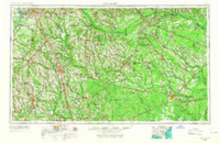
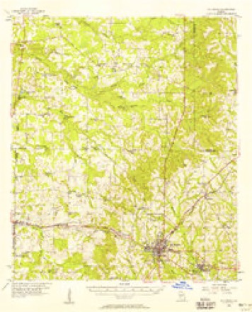
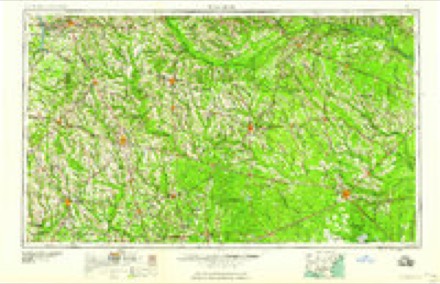
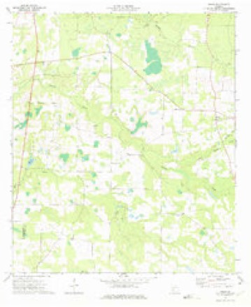
9 topographic sheets cover this place, the earliest surveyed in 1953 and the latest in 1988. It stands in the Warwick census division. It lies in ZIP code area 31796. It stands on Red Oak Branch. The Survey maps it on the Doles quadrangle.
Topographic sheets covering this place
6 surveys from 9 printed sheetsMatched by testing this settlement's coordinate against the published boundary of every sheet in the United States Geological Survey's historical collection. Each opens the scanned sheet at the Survey.
- 1953 USGS Waycross quadrangle1:250000, 2 printings
- 1956 USGS Sylvester quadrangle1:62500, 2 printings
- 1958 USGS Waycross quadrangle1:250000, 2 printings
- 1973 USGS Doles quadrangle1:24000
- 1981 USGS Cordele quadrangle1:100000
- 1988 USGS Waycross quadrangle1:250000
Fires near this place
206 since 1992Regional context, not property-specific evidence. The federal wildfire occurrence database lists 206 fires within 5 miles of Doles between 1992 and 2020, burning about 1,280 acres in total. 9 started naturally. 26 were recorded as arson. Distance is straight-line from the map coordinates, so a fire counted here may appear on a neighbouring settlement's page as well.
| Reported cause | Fires |
|---|---|
| Debris and open burning | 132 |
| Equipment and vehicle use | 28 |
| Arson/incendiarism | 26 |
| Natural | 9 |
| Smoking | 3 |
| Misuse of fire by a minor | 3 |
| Missing data/not specified/undetermined | 3 |
| Recreation and ceremony | 2 |
The most recent of them, most recent first, with the day each was reported and the service that recorded it.
| Date | Cause | Size | Reported by | Name on the report |
|---|---|---|---|---|
| 4 September 1995 | Equipment and vehicle use | under an acre | Georgia Forestry Commission | not named |
| 4 September 1995 | Equipment and vehicle use | under an acre | Georgia Forestry Commission | not named |
| 4 September 1995 | Equipment and vehicle use | under an acre | Georgia Forestry Commission | not named |
| 4 September 1995 | Equipment and vehicle use | under an acre | Georgia Forestry Commission | not named |
| 4 September 1995 | Equipment and vehicle use | under an acre | Georgia Forestry Commission | not named |
| 4 September 1995 | Equipment and vehicle use | under an acre | Georgia Forestry Commission | not named |
| 4 September 1995 | Equipment and vehicle use | under an acre | Georgia Forestry Commission | not named |
| 4 September 1995 | Equipment and vehicle use | under an acre | Georgia Forestry Commission | not named |
Settlements close enough to share some of these fires:
Storms near this place
50 since 1993Regional context, not property-specific evidence. The National Weather Service names Doles in 50 storm reports between 1993 and 2025: 41 thunderstorm wind, 3 hail, 3 flash flood, 2 tornado. No death or injury is recorded in these reports. Each account below is quoted exactly as the forecast office filed it, from the NOAA Storm Events Database, and each date opens the federal record of that event.
| When | Event | Place named | Harm | What the report says |
|---|---|---|---|---|
| January 2017 | Thunderstorm Wind | Doles | $100,000 | Damage on Highway 32 East consisted of roof damage, pool damage, outbuilding damage, and vehicle damage. Damage cost was estimated. |
| December 2018 | Tornado (EF1) | Doles | $25,000 | A tornado touched down just south of Hobby Hill Rd and moved northeast across Medders Rd and Hilltop Rd before dissipating at Highway 33. The storm caused minor damage to a couple of manufactured homes and more significant damage to outbuildings. EF1 level damage to several stands of pine trees was noted with maximum winds estimated at 105 mph. |
| December 2004 | Thunderstorm Wind | Doles | $25,000 | Several roofs were damaged, with shredded tin wrapped around trees. Trees and power lines were toppled. Reported by Worth County 911. |
| June 2016 | Thunderstorm Wind | Doles | $20,000 | Trees and power lines were blown down along with some damage to homes and sheds near Hilltop Road and Green Valley Road. A picture was posted on social media showing two pine trees snapped and structural debris lofted into power lines. One woman reported significant roof damage. Damage was estimated. |
| January 2017 | Thunderstorm Wind | Doles | $15,000 | A roof was blown off a farm house on Cleo Boyd Road. Damage cost was estimated. |
| January 2017 | Thunderstorm Wind | Doles | $10,000 | Structural damage was reported at the Charity Grove Church. Damage cost was estimated. |
| January 2017 | Thunderstorm Wind | Doles | $10,000 | Trees were blown down with roof damage on Howard Drive. Damage cost was estimated. |
| February 2009 | Thunderstorm Wind | Doles | $10,000 | A roof was lifted off a home on Gleaton Road. |
| May 2021 | Thunderstorm Wind | Doles | $3,000 | Trees and power lines were blown down throughout Worth county. |
| January 2017 | Thunderstorm Wind | Doles | $3,000 | Trees and power lines were blown down on Ausby Road. |
| January 2017 | Thunderstorm Wind | Doles | $3,000 | Trees and power lines were blown down on Sawyer Road. |
| January 2017 | Thunderstorm Wind | Doles | $3,000 | Trees and power lines were blown down on Blue Springs Road from Church Road to Jewel Crowe Road. |
| January 2017 | Thunderstorm Wind | Doles | $3,000 | A tree was blown down onto a power line on Highway 33 South of Gleaton Road. |
| January 2017 | Thunderstorm Wind | Doles | $3,000 | Damage occurred to a shop on Highway 313 North. Damage cost was estimated. |
| June 2007 | Thunderstorm Wind | Doles | $500 | Several downed trees reported in Doles. |
| March 1993 | Thunderstorm Wind | Doles | $500 | Thunderstorm winds downed several large tree limbs onto power lines which caused scattered power outages throughout northern Worth County. |
| March 2025 | Thunderstorm Wind | Doles | - | A tree was blown down near the intersection of Hamilton Hill Road and Jodie Hobby Road. |
| June 2025 | Flash Flood | Doles | - | Water was reported over the roadway on Highway 313. |
| January 2024 | Thunderstorm Wind | Doles | - | A tree was blown down across Highway 33N at Long Lonesome Road. |
| September 2024 | Flash Flood | Doles | - | Calhoun Road east of Jodie Hobby Road was flooded. |
| July 2023 | Thunderstorm Wind | Doles | - | A tree was blown down in the Medders and Meadowood area. |
| August 2023 | Thunderstorm Wind | Doles | - | Numerous trees were blown down across Worth county. |
| June 2023 | Thunderstorm Wind | Doles | - | A church steeple was blown into the roadway on Highway 32 about one mile west of Doles. |
| June 2023 | Thunderstorm Wind | Doles | - | Multiple pine trees were blown down on Highway 313 just north of Highway 32. |
| June 2023 | Flash Flood | Doles | - | Highway 313 near Medders Road was flooded. |
| May 2022 | Thunderstorm Wind | Doles | - | A tree was blown down across Highway 313. |
| June 2020 | Thunderstorm Wind | Doles | - | A power line was blown down on Highway 32W. Hail was also noted, but the size was unknown. |
| March 2020 | Flood | Doles | - | Cuffie Town Road was closed due to flooding. |
| June 2019 | Thunderstorm Wind | Doles | - | A tree was blown down on Highway 313 at Medders. |
| July 2018 | Thunderstorm Wind | Doles | - | Trees were blown down on Camp Osborn Road. |
| December 2018 | Thunderstorm Wind | Doles | - | Trees were snapped north of Medders Road. |
| December 2018 | Thunderstorm Wind | Doles | - | A couple of trees were blown down. |
| January 2017 | Thunderstorm Wind | Doles | - | A tree was blown down on Highway 33 south of Highway 32. |
| April 2017 | Thunderstorm Wind | Doles | - | Trees were blown down on Highway 33N. |
| April 2017 | Tornado (EF0) | Doles | - | Video relayed by WALB-TV showed a weak tornado over farmland near Doles. No damage was reported. |
| January 2017 | Thunderstorm Wind | Doles | - | Trees were blown down on Jodie Hobby Road. |
| January 2017 | Thunderstorm Wind | Doles | - | Numerous trees were blown down on Highway 313. |
| January 2017 | Thunderstorm Wind | Doles | - | Trees were blown down on Eric Alred Road. |
| January 2017 | Thunderstorm Wind | Doles | - | Trees were blown down on Abrams Road. |
| January 2017 | Thunderstorm Wind | Doles | - | Trees were blown down on Red Oak Road. |
| July 2017 | Thunderstorm Wind | Doles | - | A tree was blown down near Egypt and Fiveash Roads. |
| July 2015 | Thunderstorm Wind | Doles | - | A tree was blown down at Highway 33 near Rocky Mount Church Road. |
| July 2015 | Thunderstorm Wind | Doles | - | Trees were blown down on Highway 33 North. |
| January 2009 | Thunderstorm Wind | Doles | - | A few trees were blown down in Cuffietown. |
| August 2008 | Thunderstorm Wind | Doles | - | A few trees were down near the intersection of State Roads 32 and 33. |
| May 2008 | Thunderstorm Wind | Doles | - | A few trees were blown down on State Highway 32. |
| August 2008 | Thunderstorm Wind | Doles | - | Several trees down in the Camp Osborn area, including Blue Spring and Sheephole Hill Roads. |
| June 2007 | Hail | Doles | - | Golfball sized hail was reported in Doles. |
| November 1997 | Hail | Doles | - | Golfball to baseball size hail covering the ground along Georgia Highway 33 five miles northeast of Doles. |
| November 1997 | Hail | Doles | - | Dime size hail in Doles. |
Nearest settlements
The eight closest, with where each one stands in the county. Distances are straight-line, computed from the Geographic Names Information System coordinates.
| Map | Place | Distance | Sheets |
|---|---|---|---|
| Aultmans (historical) | 2.4 miles | 9 | |
| Blue Spring (historical) | 2.5 miles | 9 | |
| Cuffietown | 4.4 miles | 10 | |
| Davis Mill | 4.5 miles | 7 | |
| Pindertown (historical) | 6.6 miles | 7 | |
| Camp Sherwood | 7.1 miles | 9 | |
| Oakfield | 7.1 miles | 7 | |
| Acorn Pond | 7.8 miles | 7 |
Provenance
This settlement is recorded in the Geographic Names Information System as feature 326247. The sheet list is computed by point-in-boundary test against the United States Geological Survey's historical topographic inventory. Both are works of the United States government and carry no copyright under 17 U.S.C. 105.
Wildfire. Short, Karen C. 2022. Spatial wildfire occurrence data for the United States, 1992-2020 [FPA_FOD_20221014]. 6th Edition. Fort Collins, CO: Forest Service Research Data Archive. https://doi.org/10.2737/RDS-2013-0009.6 Collected with United States Government funding and usable without additional permissions or fees.
Storms. NOAA National Centers for Environmental Information, Storm Events Database https://www.ncei.noaa.gov/stormevents/ A work of the United States government, no copyright under 17 U.S.C. 105. Narratives are quoted verbatim from the National Weather Service report and are not edited or summarised.