 Block
From the record
8 National Register listings published here.
Sources: the National Register database, National Park Service
29 topographic sheets and 3 fire insurance atlases across 1 place.
8 National Register listings published here.
Sources: the National Register database, National Park Service
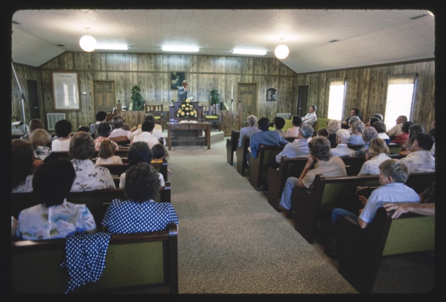
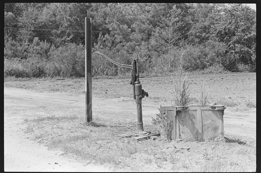
Taken for the Office of War Information and the Farm Security Administration, who photographed the country between 1935 and 1944. Works of United States government photographers, with no known restriction on use. Each opens its catalogue record.





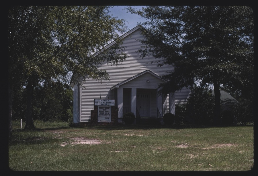









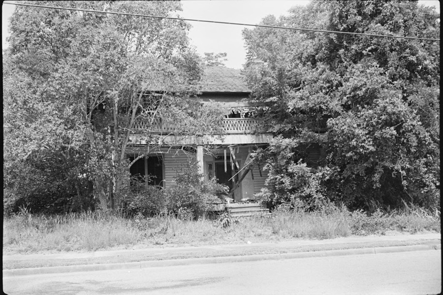



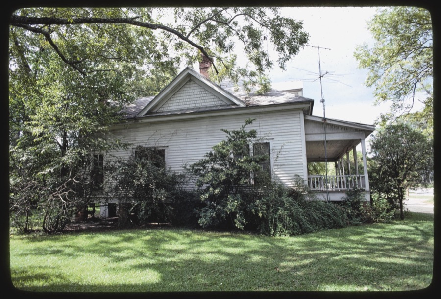


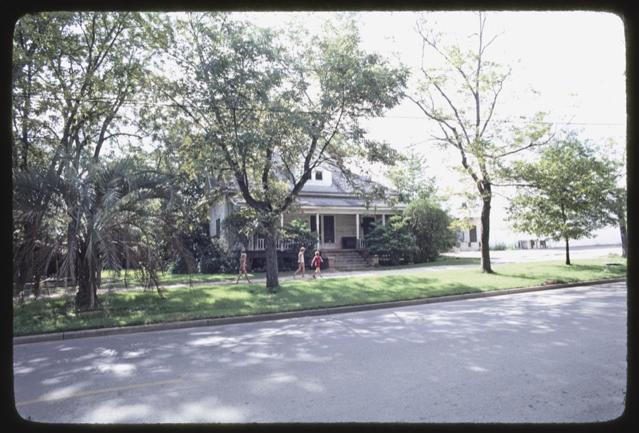
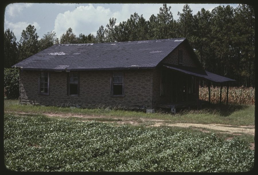

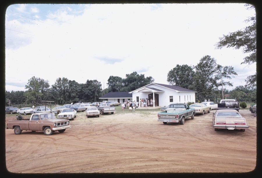


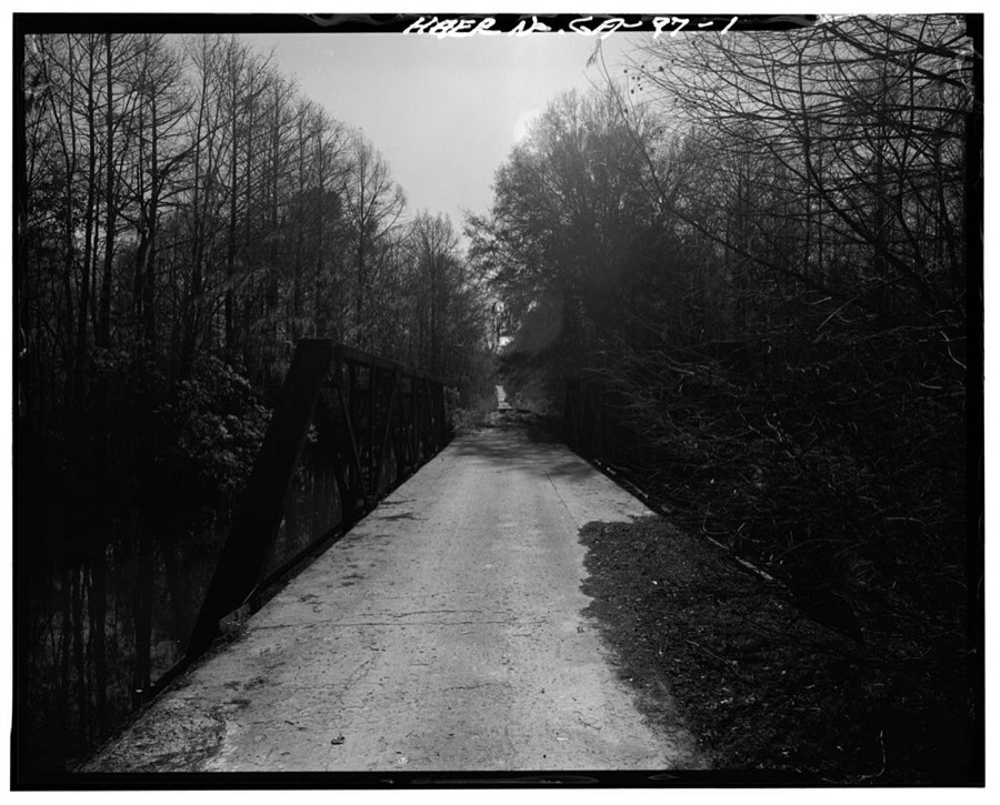

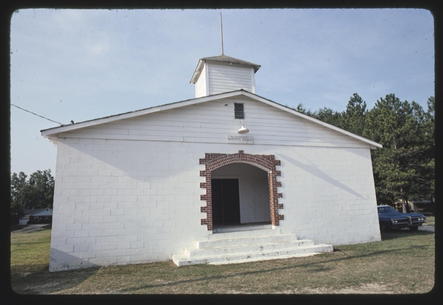
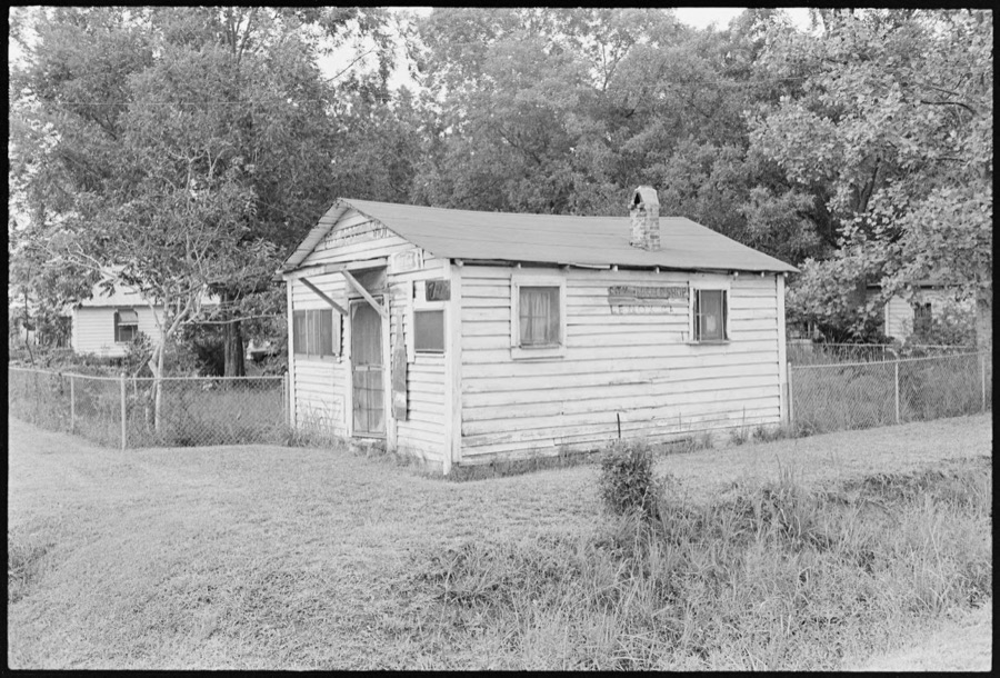


Every property in this county listed on the National Register of Historic Places, with the year it was listed and the federal nomination document.
| Photograph | Property | Type | Listed | Reference |
|---|---|---|---|---|
 | Possum Poke | building | 1982 | 82002499 |
 | Poulan Library | building | 2003 | 03000679 |
 | Sumner High School | building | 1996 | 96001035 |
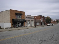 | Sylvester Commercial Historic District | district | 1987 | 87001153 |
| Sylvester Commercial Historic District (Boundary Increase) | district | 2002 | 02000454 | |
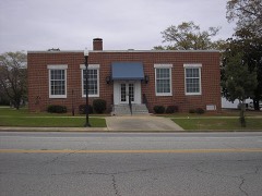 | US Post Office- Sylvester | building | 1996 | 96000735 |
 | Worth County Courthouse | building | 1980 | 80001268 |
 | Worth County Local Building | building | 1980 | 80001269 |
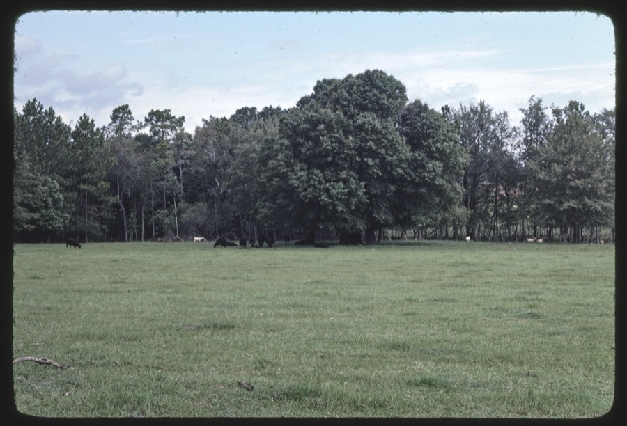
Selected from the Digital Public Library of America's 2 image records catalogued for this county. Every one shown here carries a public-domain status or a licence that permits reuse on a site that carries advertising; non-commercial, share-alike and restricted images are excluded. The selection is spread across the county's towns (at most eight per town), so no single institution's bulk upload crowds out the rest. Each opens the holding library's record, and the complete set at the Digital Public Library of America is one click away.


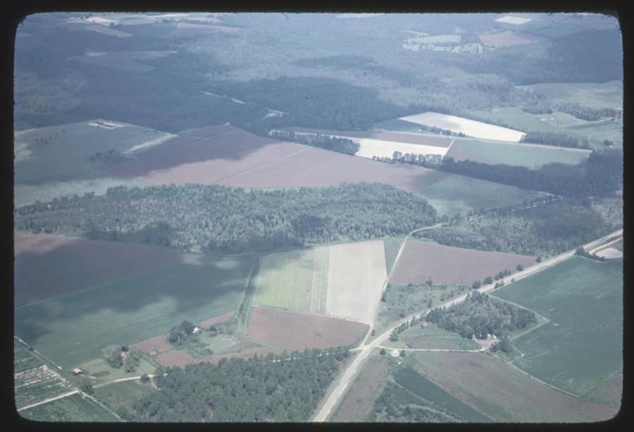
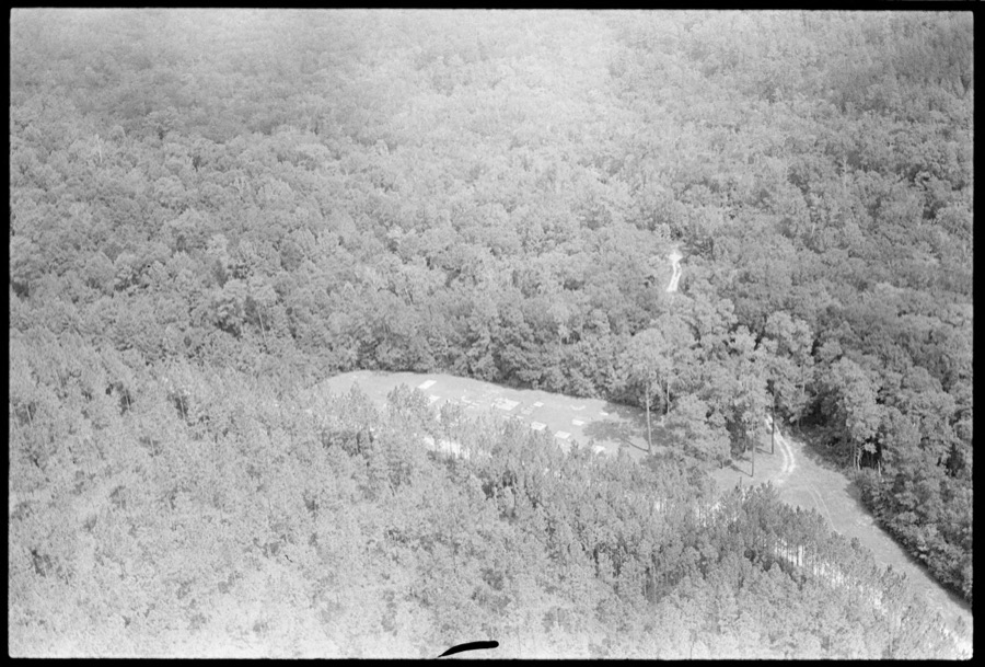
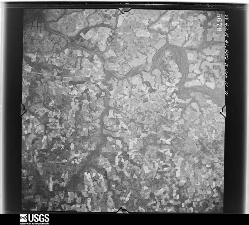
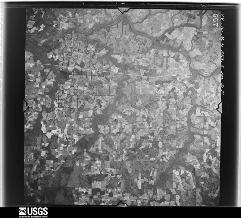
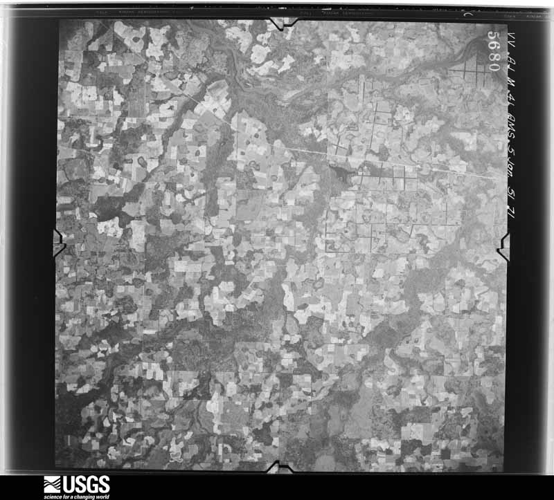
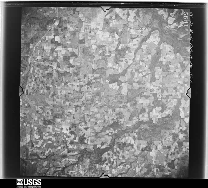
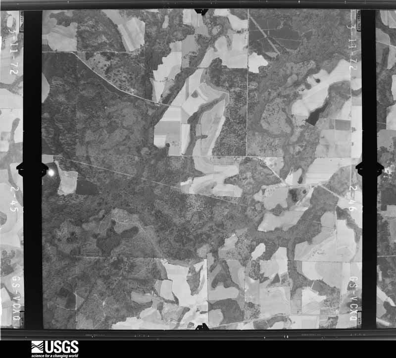
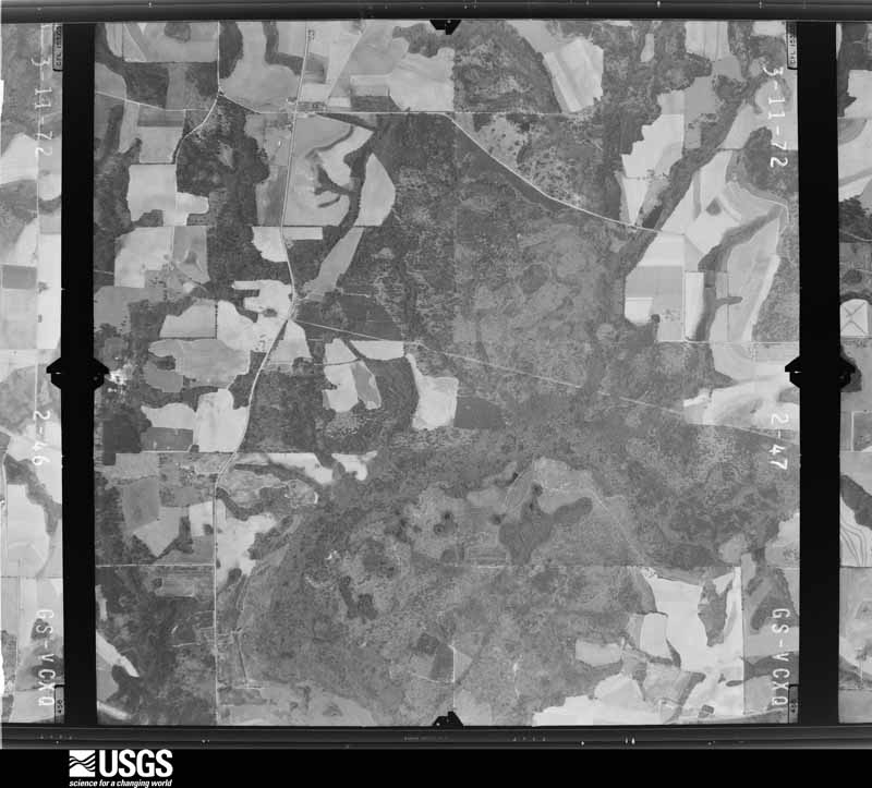
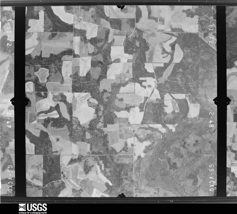
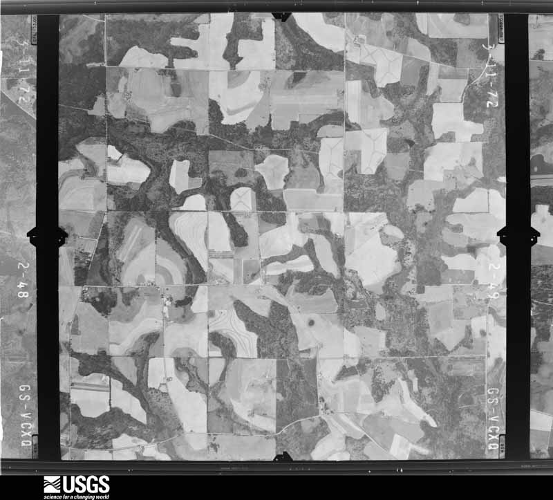
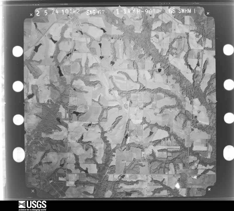
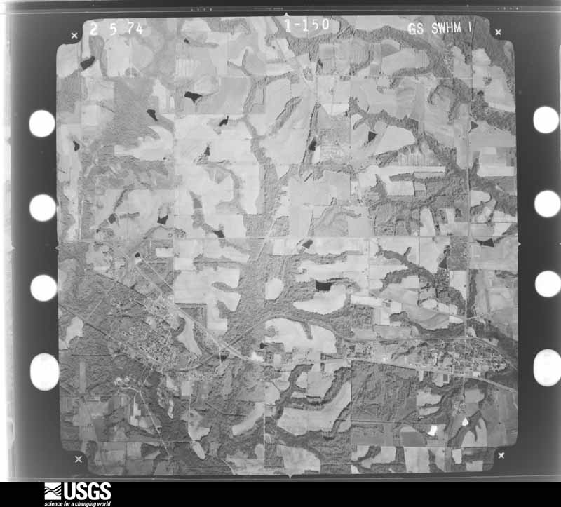
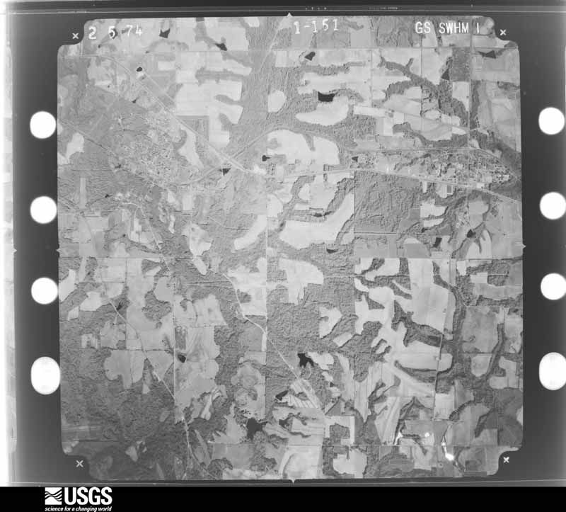
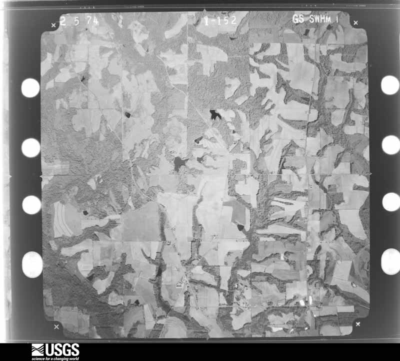
Flown by the U.S. Geological Survey between 1937 and 1989, the Aerial Photo Single Frames collection is the definitive mid-century view of the land: fields, roads and rivers as the camera saw them. The Survey holds 605 frames inside the rectangle that bounds this county; the 12 frames below were taken over the county itself, chosen across the decades of flights (at most four a year from that rectangle), so one flight cannot crowd out the rest. The full set is free to browse and download at EarthExplorer under the dataset Aerial Photo Single Frames.
The thermometers that kept this county's weather, and the gages that measured the flow of its streams, as the federal records hold them. The extremes below are measured values from those records, not estimates.
Who lived here in 1950, one enumeration district at a time, as the Census Bureau described each district. Each row opens its official National Archives result, with Population Schedules and ED Maps available there.
Every wildfire the federal occurrence database records inside this county: 1,784 of them, burning about 9,311 acres. 48 started naturally and 269 were recorded as arson. Each settlement page carries the fires within five miles of it.
| Reported cause | Fires |
|---|---|
| Debris and open burning | 1182 |
| Arson/incendiarism | 269 |
| Equipment and vehicle use | 142 |
| Missing data/not specified/undetermined | 50 |
| Natural | 48 |
| Railroad operations and maintenance | 35 |
| Misuse of fire by a minor | 22 |
| Recreation and ceremony | 20 |
| Smoking | 16 |
The five largest, by the area the report gives. Two of them were set deliberately.
| Date | Cause | Size | Reported by | Name on the report |
|---|---|---|---|---|
| 22 March 2017 | Arson/incendiarism | 262 acres | Georgia Forestry Commission | FY2017-WORTH-051 |
| 17 June 1993 | Arson/incendiarism | 246 acres | Georgia Forestry Commission | not named |
| 1 May 2011 | Debris and open burning | 151 acres | Georgia Forestry Commission | FY2011-WORTH-085 |
| 30 April 1992 | Debris and open burning | 142 acres | Georgia Forestry Commission | not named |
| 20 February 2014 | Debris and open burning | 136 acres | Georgia Forestry Commission | FY2014-WORTH-007 |
| 27 March 2004 | Debris and open burning | 126 acres | Georgia Forestry Commission | not named |
| 28 February 2007 | Railroad operations and maintenance | 113 acres | Georgia Forestry Commission | not named |
| 26 January 2001 | Debris and open burning | 111 acres | Georgia Forestry Commission | FY2001-WORTH-048 |
Every settlement page carries the fires within five miles of it - see the settlement index below.
The NOAA Storm Events Database holds 426 reports for this county, causing 2 deaths, 52 injuries and about $22,278,050 in recorded property damage. Each settlement page carries the reports that name it.
| Kind of event | Reports |
|---|---|
| Thunderstorm Wind | 279 |
| Hail | 52 |
| Tornado | 38 |
| Flood | 33 |
| Flash Flood | 22 |
| Heavy Rain | 2 |
The most serious of them, by death, then injury, then recorded damage. The accounts are quoted exactly as the forecast office filed them.
| When | Event | Place named | Harm | What the report says |
|---|---|---|---|---|
| March 2003 | Tornado (F2) | Bridgeboro | 2 killed, $750,000 | The F2 tornado traveled northeast from northeast Mitchell County into southwest Worth County. It damaged a few dozen homes and destroyed several others. Two persons were killed when their mobile home was destroyed. Numerous trees and power lines were down. A state of emergency was declared for Worth County. Reported by the Worth County EMA and CAP/NWS aerial survey team. |
| January 2017 | Tornado (EF3) | Red Rock | 31 hurt, $5,000,000 | The EF3 tornado from Dougherty county continued all the way across Worth county into Turner county as an EF3 tornado with max winds estimated near 150 mph. In Worth County, it caused extensive damage to homes along Jewel Crowe Road. This was consistent with EF3 damage. Damage to homes and outbuildings consistent with EF2 damage was observed along Camp Osborn Road. A concrete block church on Zion Church Road was completely destroyed, justifying an EF3 rating at that point. Damage cost was estimated. |
| November 1992 | Tornado (F1) | not stated | 9 hurt, $25,000 | no account filed |
| February 1973 | Tornado (F2) | not stated | 5 hurt, $250,000 | no account filed |
| December 1964 | Tornado (F2) | not stated | 3 hurt, $250,000 | no account filed |
| December 2005 | Tornado (F1) | Sylvester | 2 hurt, $750,000 | A tornado touched down just southwest of downtown Sylvester, and moved east along Kelly Street where most of the damage occurred. Nineteen businesses, two houses, three county buildings, and two non-profit organizations were damaged. Two people were slightly injured by flying glass. A half dozen power poles were snapped at the intersection of Livingston and West Streets. Numerous trees were toppled. Several vehicles were damaged. Damage survey was provided by the NWS Tallahassee WCM, with additional reports by the Worth County EMA. |
| March 2007 | Tornado (EF2) | Sylvester | 2 hurt, $275,000 | This tornado, rated EF-2, was spawned from the same supercell thunderstorm that produced the earlier tornado in Worth County. It touched down near McCarty Road. A brick frame house sustained severe roof damage with a couple of exterior walls collapsing. Two vehicles parked outside were carried into a nearby field. Large oak trees were uprooted, with one falling on a house. One mobile home was flipped over and rolled into a nearby tree. The tornado then moved northeast into a forest and uprooted hundreds of pines. It flattened a house, causing two minor injuries, before lifting just west of State Highway 33. |
| March 1996 | Tornado (F2) | Red Rock | $6,000,000 | no account filed |
| February 2013 | Flood | Warwick | $1,000,000 | Persistent moderate to heavy rainfall over a long duration led to significant flooding across the county. Several dozen roads were closed across the county, and water affected several homes on Willow Road in the western part of the county near Ponds. The water was about 1.5 feet up the skirting of the house porches. Monetary damage was estimated. |
| December 2007 | Tornado (EF0) | Sylvester | $750,000 | A weak tornado touched down just north of U.S. Highway 82, then raced northeast through the Isabella community. Along its path, the tornado damaged 29 homes and overturned several irrigation pivots. One peanut warehouse was damaged. |
| January 2017 | Tornado (EF1) | Red Rock | $500,000 | An EF1 tornado touched down just inside the Dougherty County line along Cordele Road before moving east northeast into Worth County. The tornado lifted just east of Highway 313. A strongly convergent signature was noted in the tree damage which supports the designation as a tornado. There was significant damage to the Camp Osborn area in far western Worth county where a group of boy scouts were staying overnight. Although thousands of trees were blown down with several buildings in the forest destroyed due to falling trees, the boy scouts remained safe due to receiving the warning with sufficient lead time to take shelter in a safer building. Max winds were estimated around 105 mph. Damage cost was estimated. |
| February 2013 | Flood | Sylvester | $500,000 | Persistent moderate to heavy rain over a greater than 6 hour period led to significant flooding across portions of Worth county. There were up to 30 road closures in Sylvester with an additional 15 county roads closed and 4 roads closed in Poulan. 18 houses flooded in Sylvester with an additional 2 houses flooded in the county. Monetary damage was estimated. |
| March 2007 | Tornado (EF2) | Sumner | $500,000 | An EF-2 tornado touched down on Sumner Lakes Road just south of Sumner. One mobile home was completely destroyed, with the debris blown several hundred yards away. The four occupants inside received warning of the approaching tornado and promptly vacated the home for a reinforced shelter. Of the two dozen structures that were damaged, half were heavily damaged. Numerous utility poles and trees in the path of the tornado were snapped. |
| July 1994 | Thunderstorm Wind | Acree | $500,000 | Straightline winds moved a trailer off of its base and knocked down numerous trees along Deer Valey Drive. Initially EMA officials reported this as a tornado, however they later downgraded it to straightline winds based on a storm survey. |
| September 1998 | Thunderstorm Wind | Central Portion | $350,000 | Thunderstorms winds damaged several residences across Central Worth County. Numerous power outages as trees fell onto utility lines at Liberty Hill, Anderson City, Sylvester, Spring Flats Rd, Sumner, Ty Ty, Massey Airport Rd, and Gordy. In Anderson City, a barn was destroyed on Brooks Rd and a mobile home was blown off its foundation on Evergreen Rd. High winds overturned a school bus on GA 33 one mile south of Sylvester. |
| September 1998 | Tornado (F1) | Isabella | $300,000 | An F1 tornado briefly touched down on GA 520 between Poulan and Ty Ty. It skipped over and descended on the 850-acre Boy Scout Camp Osborn outside Isabella causing extensive damage to the dining hall and pool facilities. The tornado uprooted more than 1,000 trees. |
| April 2020 | Tornado (EF2) | Bridgeboro | $250,000 | Tornado touched down just west of the Mitchell/Worth County line along South County Line Road, damaging a mobile home. The tornado continued northeast, impacting several single family homes along Highway 112 and York Road. Damage to a home on York Road was consistent with an EF2 tornado wind peak winds around 120 mph. The tornado lift shortly after crossing York Road, with no additional damage noted. |
| May 2006 | Thunderstorm Wind | Countywide | $250,000 | Thunderstorm winds peeled the top off the Warwick water tower. The storm prompted county health officials to issue a boil water order. The winds also bent the police department's antenna to a 90-degree angle. Downed trees damaged a few vehicles and homes. There were some utility poles knocked down as well. Reported by the Worth County Sheriff. |
| February 2000 | Thunderstorm Wind | Sumner | $250,000 | A mobile home was destroyed and four homes damaged. Numerous downed trees and power lines. A recreational vehicle overturned. Reported by the Worth County Sheriff. |
| May 1990 | Tornado (F1) | not stated | $250,000 | no account filed |
| March 1984 | Tornado (F1) | not stated | $250,000 | no account filed |
| May 1983 | Tornado (F1) | not stated | $250,000 | no account filed |
| April 1974 | Tornado (F1) | not stated | $250,000 | no account filed |
| May 1966 | Tornado (F2) | not stated | $250,000 | no account filed |
| February 2007 | Thunderstorm Wind | Sylvester | $175,000 | The Worth County EMA reported numerous downed trees and power lines. Several houses were damaged, and a barn was destroyed. |
| March 2007 | Tornado (EF2) | Bridgeboro | $175,000 | The EF-2 tornado moved into western Worth County from southeastern Dougherty County. It uprooted trees and damaged several mobile homes north of Bridgeboro before lifting. |
| December 2004 | Thunderstorm Wind | Sylvester | $150,000 | Several homes suffered major damage. Numerous road signs, trees and utility poles were blown down. Reported by Worth County 911. |
| April 2020 | Tornado (EF1) | Sumner | $100,000 | A brief tornado touched down just southwest of Highway 82, west of Ty Ty, GA where there was minor structural damage as well as widespread trees being uprooted and snapped. The tornado moved northeast and crossed Highway 82 where a member of the public reported seeing it. It then continued northeast with damage reported on Little River Road and Whiddon Mill Road which was consistent with radar signatures. Thank you to Worth County GA Emergency Management officials in their help in collecting damage points and pictures. |
| January 2017 | Thunderstorm Wind | Sylvester | $100,000 | Trees were blown down onto some houses in Sylvester. Damage cost was estimated. |
| January 2017 | Thunderstorm Wind | Doles | $100,000 | Damage on Highway 32 East consisted of roof damage, pool damage, outbuilding damage, and vehicle damage. Damage cost was estimated. |
| January 2017 | Thunderstorm Wind | Sylvester-Worth Arpt | $100,000 | There was widespread damage between Highway 82 and Highway 32. Trees were down on houses and over road with power outages. |
| April 2009 | Thunderstorm Wind | Sumner | $100,000 | Trees, power lines and road signs were blown down. Some homes sustained minor roof damage along U.S. Highway 82. |
| May 1999 | Flash Flood | Sylvester | $100,000 | Stationary cluster of thunderstorms produced nearly four inches of rain within a two-hour period. Worth County S.O. reported flash flooding on Red Rock Rd. and two residences damaged by flood waters. |
| October 1997 | Thunderstorm Wind | Sylvester | $100,000 | Severe thunderstorm winds damaged one business and residence just south of Sylvester. |
| April 2017 | Thunderstorm Wind | Sylvester | $50,000 | Tree and power lines were blown down with reports of some trees falling on homes. Damage cost was estimated. |
| July 2015 | Thunderstorm Wind | Sylvester | $50,000 | Numerous trees down across the county including some trees on homes. Damage was estimated. |
| February 2014 | Thunderstorm Wind | Pritchetts | $50,000 | Sporadic tree damage occurred across parts of southern Worth County, with a more concentrated area of damage in the southwest part of the county along and just west of Highway 133. Specifically, the more substantial damage was near the following roads near Hwy 133: Toni Lee, Carlton, Chil Redge, and Liberty Hill. The damage extended approximately 1 mile in a north-south direction and 1 mile in a west-east direction, with most debris blown to the northeast. The circular nature of the area of concentrated damage and consistent nature of the directionality of the damage suggests that it was caused by a small downburst known as a microburst. Much of the damage was consistent with wind gusts of 65-70 mph. However, two residences near the intersection of Carlton Rd and Chil Redge Lane received more significant damage. Several large tree limbs were snapped off. Siding was ripped from the homes, as well as some shingles. A metal shed and metal porch overhang had some material removed and strewn downstream as much as 100 yards. Some wood 2x4s were also blown northeast from the shed and one punctured a screened patio. This sort of damage is consistent with peak gusts in the 80-85 mph range. Monetary damage was estimated. |
| December 2002 | Thunderstorm Wind | Countywide | $50,000 | Straight-line winds knocked down numerous trees and power lines, and peeled the roof of a home. Many residents along the South Georgia Parkway and Cordele Highway were without power for several hours. Reported by the Worth County EMA. |
| June 1999 | Thunderstorm Wind | Sylvester | $50,000 | Sylvester P.D. reported power transformers blown down. Several motorists trapped in their vehicles by fallen trees. |
| May 1994 | Thunderstorm Wind | not stated | $50,000 | Thunderstorm winds toppled several large trees and downed numerous large limbs. One home was severely damaged by a fallen tree blown over by thunderstorm winds. |
| June 1994 | Thunderstorm Wind | Sylvestor | $50,000 | One home was moderately damaged from a large tree downed by thunderstorm winds. Several large trees were also downed in the vicinity along Georgia Highway 33. |
| June 2009 | Tornado (EF0) | Liberty Hill | $35,000 | A brief EF0 tornado damaged the roofs of three mobile homes along Bridgeboro Anderson City Road. |
| April 2007 | Tornado (EF1) | Warwick | $30,000 | A tornado touched down south of Warwick and traveled northeast. Along its path, numerous downed trees and power lines blocked several roads including State Road 313. Also, a home and several silos were damaged. The tornado then crossed from northern Worth County into southwestern Crisp County (see Storm Data for Georgia, Central, for more information). |
| December 2018 | Tornado (EF1) | Doles | $25,000 | A tornado touched down just south of Hobby Hill Rd and moved northeast across Medders Rd and Hilltop Rd before dissipating at Highway 33. The storm caused minor damage to a couple of manufactured homes and more significant damage to outbuildings. EF1 level damage to several stands of pine trees was noted with maximum winds estimated at 105 mph. |
| January 2017 | Thunderstorm Wind | Isabella | $25,000 | Three trees were blown down onto a house near Sylvester. Damage cost was estimated. |
| April 2015 | Thunderstorm Wind | Sylvester | $25,000 | Several large trees were blown down in Sylvester. One tree fell on a house causing damage. |
| February 2009 | Thunderstorm Wind | Sumner | $25,000 | A few roofs were blown off homes and trees were down on Ty Ty Sycamore Road. |
| December 2004 | Thunderstorm Wind | Doles | $25,000 | Several roofs were damaged, with shredded tin wrapped around trees. Trees and power lines were toppled. Reported by Worth County 911. |
| June 1999 | Thunderstorm Wind | Countywide | $25,000 | Numerous downed trees and power lines blocking several county roads reported by the Worth County EMA. |
| January 1991 | Tornado (F1) | not stated | $25,000 | no account filed |
| March 1991 | Tornado (F0) | not stated | $25,000 | no account filed |
| May 1978 | Tornado (F1) | not stated | $25,000 | no account filed |
| January 1975 | Tornado (F2) | not stated | $25,000 | no account filed |
| August 1974 | Tornado (F1) | not stated | $25,000 | no account filed |
| November 1968 | Tornado (F3) | not stated | $25,000 | no account filed |
| May 1966 | Tornado (F2) | not stated | $25,000 | no account filed |
| March 1961 | Tornado (F1) | not stated | $25,000 | no account filed |
| April 1961 | Tornado (F2) | not stated | $25,000 | no account filed |
| January 1952 | Tornado (F2) | not stated | $25,000 | no account filed |
| January 2017 | Flood | Alfords | $20,000 | Heavy rainfall fell over a 2 day period across Worth county, resulting in Porters Corner Road washing out between Ben Peavy Road and Gwines Road. |
Named settlements recorded in the Geographic Names Information System, each with the topographic sheets covering it. Villages, hamlets and abandoned places alike. Each is shown with the nearest named watercourse or landform and the survey quadrangle it falls on. The 1 place that was also surveyed for fire insurance comes first, with the number of atlases and photographs held for them.
Sylvester census division · 31791 · On Hog Heaven Branch · Sylvester quadrangle
9 sheets, 1953 to 1988
Fire insurance: 3 atlases
Warwick census division · 31796 · On Rattlesnake Branch · Pateville quadrangle
7 sheets, 1953 to 1988
Sylvester census division · 31791 · Acree quadrangle
10 sheets, 1953 to 1988
No longer a settlement
Warwick census division · 31772 · On Little Abrams Creek · Doles quadrangle
9 sheets, 1953 to 1988
No longer a settlement
Warwick census division · 31772 · On Little Abrams Creek · Doles quadrangle
9 sheets, 1953 to 1988
No longer a settlement
Warwick census division · 31796 · On Johnson Branch · Warwick quadrangle
7 sheets, 1953 to 1988
Sylvester census division · 31705 · Bridgeboro quadrangle
10 sheets, 1953 to 1988
No longer a settlement
Bridgeboro census division · 31705 · Bridgeboro quadrangle
10 sheets, 1953 to 1988
Bridgeboro census division · 31705 · Bridgeboro quadrangle
10 sheets, 1953 to 1988
No longer a settlement
Warwick census division · 31772 · On Jones Creek · Warwick quadrangle
7 sheets, 1953 to 1988
No longer a settlement
Poulan census division · 31791 · On Briar Branch · Tempy quadrangle
10 sheets, 1953 to 1988
Sylvester census division · 31791 · Sylvester quadrangle
9 sheets, 1953 to 1988
No longer a settlement
Poulan census division · 31791 · On Tiger Thicket Creek · Tempy quadrangle
10 sheets, 1953 to 1988
Warwick census division · 31796 · On Mill Branch · Warwick quadrangle
7 sheets, 1953 to 1988
Sylvester census division · 31791 · Acree quadrangle
10 sheets, 1953 to 1988
No longer a settlement
The vanished settlements of Worth County: the places named above that are no longer on the map.
9 topographic sheets and 3 fire insurance atlases, 1911 to 1941
The complete index, with nothing left out. Each of these is a separate record with its own page: a federal survey report, or the case file that argued a property on to the National Register. Both are public domain and reproduced word for word.
The vanished settlements of Worth County, the places these records name that are no longer on the map.