 Block
Druid Hills, Georgia
21 topographic sheets cover this place, the earliest surveyed in 1888 and the latest in 1997. It stands in the Atlanta-Decatur census division. It lies in ZIP code area 30307. It stands on Lullwater Creek. The Survey maps it on the Northeast Atlanta quadrangle. 9,429 people lived here at the 2020 count. It stands 912 feet above sea level.
On record in Druid Hills
Buildings and businesses the archive holds for this place. Each opens its own page, with the source record it came from.
On the National Register within a mile 10 records
The National Register names another town for these. They stand within one mile of this settlement's coordinate.
 Druid Hills Historic Districtlisted 1979 · 0.3 miles away
 Druid Hills Parks and Parkwayslisted 1975 · 0.5 miles away
 Callanwoldelisted 1973 · 0.6 miles away
 Briarcliff-Normandy Apartmentslisted 2003 · 0.6 miles away
 Briarclifflisted 1988 · 0.7 miles away
 Candler Park Historic District (Boundary Increase)listed 2005 · 0.8 miles away
 Smith-Benning Houselisted 1982 · 0.9 miles away
- Cameron Court Districtlisted 1982 · 0.4 miles away
- Callanwolde (Boundary Increase)listed 2003 · 0.6 miles away
- Villa MiraFloreslisted 2016 · 0.7 miles away
Population over time
2 figuresDruid Hills fell from 14,568 to 9,429 between 2010 and 2020. These are the recorded population figures Wikidata holds for this place, reached through the Geographic Names Information System number this page is keyed on rather than by name, so they belong to this place and not to another of the same name. Most are census counts, but not all are: an early figure may be a founding or settlement estimate, and an estimate published within five years of a census is left out. The change column is computed, and is left blank where more than 20 years separate a figure from the one before it, because a gap that long is not a change between two counts.
| Year | People | Change |
|---|---|---|
| 2010 | 14,568 | |
| 2020 | 9,429 | -5,139 (-35%) |
Topographic sheets covering this place
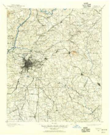
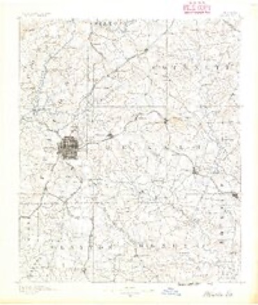
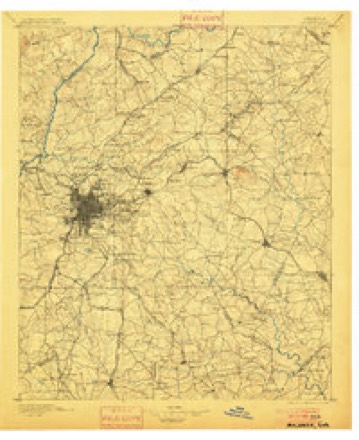
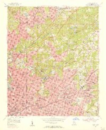
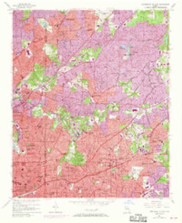
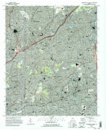
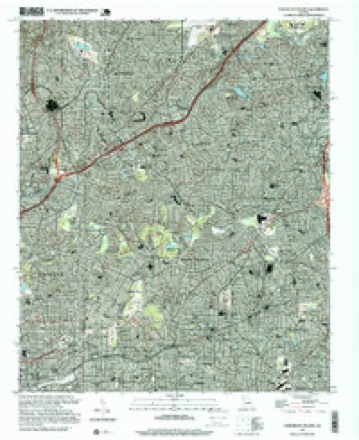
12 surveys from 21 printed sheetsMatched by testing this settlement's coordinate against the published boundary of every sheet in the United States Geological Survey's historical collection. Each opens the scanned sheet at the Survey.
- 1888 USGS Atlanta quadrangle1:125000
- 1890 USGS Atlanta quadrangle1:125000
- 1892 USGS Atlanta quadrangle1:125000
- 1895 USGS Atlanta quadrangle1:125000, 7 printings
- 1953 USGS Atlanta quadrangle1:250000, 2 printings
- 1954 USGS Decatur quadrangle1:24000
- 1954 USGS Northeast Atlanta quadrangle1:24000, 3 printings
- 1957 USGS Atlanta quadrangle1:250000
- 1958 USGS Atlanta quadrangle1:250000
- 1981 USGS Atlanta quadrangle1:100000
- 1993 USGS Northeast Atlanta quadrangle1:24000
- 1997 USGS Northeast Atlanta quadrangle1:24000





Fires near this place
3 since 1993Regional context, not property-specific evidence. The federal wildfire occurrence database lists 3 fires within 5 miles of Druid Hills between 1993 and 1999, burning about 4 acres in total. None started naturally. 1 was recorded as arson. Distance is straight-line from the map coordinates, so a fire counted here may appear on a neighbouring settlement's page as well.
| Reported cause | Fires |
|---|---|
| Arson/incendiarism | 1 |
| Misuse of fire by a minor | 1 |
| Equipment and vehicle use | 1 |
The most recent of them, most recent first, with the day each was reported and the service that recorded it.
| Date | Cause | Size | Reported by | Name on the report |
|---|---|---|---|---|
| 14 April 1999 | Misuse of fire by a minor | 2.0 acres | Georgia Forestry Commission | not named |
| 9 March 1993 | Equipment and vehicle use | under an acre | Georgia Forestry Commission | not named |
| 22 March 1998 | Arson/incendiarism | 1.5 acres | Georgia Forestry Commission | not named |
Settlements close enough to share some of these fires:
Storms near this place
25 since 1997Regional context, not property-specific evidence. The National Weather Service names Druid Hills in 25 storm reports between 1997 and 2024: 14 thunderstorm wind, 7 hail, 3 flash flood, 1 flood. No death or injury is recorded in these reports. Each account below is quoted exactly as the forecast office filed it, from the NOAA Storm Events Database, and each date opens the federal record of that event.
| When | Event | Place named | Harm | What the report says |
|---|---|---|---|---|
| February 2005 | Hail | Druid Hills | $4,600,000 | An employee of the DeKalb County Water Department reported that hail ranging in size from pennies to greater than golf ball, on the order of 2.0 inches in diameter fell. |
| December 2015 | Flash Flood | North Druid Hills | $150,000 | A USGS stream gauge on the South Fork Peachtree Creek at Johnson road near Atlanta reached flood stage of 13 feet. The creek crest at 13.9 feet. Minor flooding occurred upstream and downstream from the gauge Portions of backyards of residential homes on Noble Drive...Helen Drive and Kay Lane were flooded with around one foot of water. A few roads and culverts were damaged or washed out in the area. |
| March 2017 | Thunderstorm Wind | North Druid Hills | $100,000 | The DeKalb County Emergency Manager reported several trees blown down from North Druid Hills to Clarkston. Trees were blown down on cars and houses on Verona Drive and Tanner Drive and a large tree fell on a home on Coralwood Drive. No injuries were reported. |
| July 2003 | Thunderstorm Wind | North Druid Hills | $50,000 | The public reported that a number of trees had been blown down. Atlanta TV Channel 46 reported that one tree fell on a church on Clairmont road in Chamblee, causing damage to the structure. The county 911 center later reported that some power lines were down in the Stone Mountain area. The Atlanta Journal-Constitution reported that in Decatur, a very large oak tree fell on and crushed a car with two occupants inside. However, no injuries were reported with this incident. |
| May 1999 | Hail | Druid Hills | $50,000 | Numerous public reports indicated large hail ranging from golf ball size up to as large as 2 inches in diameter fell across Dekalb county. Damage to vehicles occurred. |
| January 2020 | Thunderstorm Wind | Druid Hills | $25,000 | The DeKalb County Emergency Manager and local broadcast media reported several trees and power lines blown down from Brookhaven to Decatur. One tree fell onto a home in Brookhaven, no injuries were reported. |
| April 2011 | Thunderstorm Wind | Druid Hills | $25,000 | The DeKalb County 911 Center reported that a large tree fell on a home in North Druid Hills causing significant damage to the structure. |
| February 2008 | Thunderstorm Wind | Druid Hills | $7,000 | The DeKalb County 911 Center reported that a number of trees and power lines were blown down across the county. |
| September 2014 | Flash Flood | Druid Hills | $5,000 | The stage height of a USGS stream gage east of Atlanta on the North Fork Peachtree Creek at Buford Highway reached flood stage of 13 feet. The creek crest at 15.2 feet. Moderate flooding occurred along the creek. Large portions of the backyards of residential homes on Victory Drive...Dunwoody Place and Converse Drive flooded with around two feet of water. A portion of the Sun Tan Center parking lot near the gage flooded. |
| May 2009 | Thunderstorm Wind | Druid Hills | $5,000 | The DeKalb County 911 Center reported that at least 20 trees were blown down across the county. While no specific locations were provided, radar data indicated that 50 knot or greater winds primarily affected areas from Druid Hills northeast to Tucker. |
| April 2020 | Thunderstorm Wind | North Druid Hills | $2,000 | Report of a tree and lines down at the 1800 block of Ravenwood Way. |
| August 2012 | Flash Flood | Druid Hills | $2,000 | Social media sites provided a video of flash flooding in the North Druid Hills area. Small streams were overflowing and flooding yards and roads up to two feet deep. |
| April 2015 | Thunderstorm Wind | North Druid Hills | $1,500 | The public reported 5 trees blown down near the intersection of Clairmont Road and Briarcliff Road along with pea to dime size hail. |
| July 2024 | Thunderstorm Wind | North Druid Hills | $1,000 | A tree was downed near the intersection of Spring Creek Road and Creekwood Drive. |
| July 2024 | Thunderstorm Wind | North Druid Hills | $1,000 | A tree was downed in the 2000 block of Galahad Drive. |
| March 2018 | Thunderstorm Wind | North Druid Hills | $1,000 | The DeKalb County Emergency Manager reported a tree blown down around the intersection of Clairmont Road and Lavista Road. |
| July 2005 | Thunderstorm Wind | Druid Hills | $500 | The public reported that a few trees were down in the Virginia Highlands area. |
| August 2023 | Thunderstorm Wind | North Druid Hills | - | Tree on a house along Kirkland Drive . |
| January 2023 | Thunderstorm Wind | North Druid Hills | - | Report of a tree down near the intersection of Oak Grove and Crestline Dr NE. |
| May 2012 | Hail | North Druid Hills | - | The public reported that dime to nickel sized hail in the North Druid Hills area, near Emory. |
| April 2010 | Hail | Druid Hills | - | The public observed penny-sized hail near East Lake in west central DeKalb county. Most of the hail was pea size. |
| August 2007 | Hail | Druid Hills | - | The public observed nickel to quarter-sized hail in the North Druid Hills and Druid Hills area. |
| July 2005 | Hail | Druid Hills | - | The public reported quarter-sized hail in the Virginia Highlands area. |
| July 2002 | Flood | Druid Hills | - | An amateur radio operator reported street flooding at the Interstate 85 and Shallowford/Clairmont Road exits in the Briarcliff community area. |
| April 1997 | Hail | Druid Hills | - | no account filed |
Nearest settlements
The eight closest, with where each one stands in the county. Distances are straight-line, computed from the Geographic Names Information System coordinates.
| Map | Place | Distance | Sheets |
|---|---|---|---|
| Emory | 1.0 miles | 21 | |
| Chelsea Heights | 1.0 miles | 21 | |
| Emory Highlands | 1.1 miles | 21 | |
| Clifton | 1.3 miles | 21 | |
| Edgewood | 1.3 miles | 21 | |
| Emory Estates | 1.3 miles | 21 | |
| North Kirkwood | 1.3 miles | 21 | |
| Turner Village | 1.5 miles | 21 |
Elsewhere
Matched on this settlement's Geographic Names Information System number rather than its name, so it cannot be a different place of the same name in another state.
| Wikipedia article on Druid Hills | An encyclopaedic summary. Its text is share-alike, so it is linked here rather than copied. |
| Wikidata item Q2939694 | The structured record the population and elevation above come from. Public domain (CC0). |
Provenance
This settlement is recorded in the Geographic Names Information System as feature 331589. The sheet list is computed by point-in-boundary test against the United States Geological Survey's historical topographic inventory. Both are works of the United States government and carry no copyright under 17 U.S.C. 105.
Wildfire. Short, Karen C. 2022. Spatial wildfire occurrence data for the United States, 1992-2020 [FPA_FOD_20221014]. 6th Edition. Fort Collins, CO: Forest Service Research Data Archive. https://doi.org/10.2737/RDS-2013-0009.6 Collected with United States Government funding and usable without additional permissions or fees.
Storms. NOAA National Centers for Environmental Information, Storm Events Database https://www.ncei.noaa.gov/stormevents/ A work of the United States government, no copyright under 17 U.S.C. 105. Narratives are quoted verbatim from the National Weather Service report and are not edited or summarised.