 Block
Evans, Georgia
24 topographic sheets cover this place, the earliest surveyed in 1892 and the latest in 1988. It stands in the Evans census division. It lies in ZIP code area 30809. The Survey maps it on the Evans quadrangle. 34,536 people lived here at the 2020 count. It stands 417 feet above sea level.
Research this city
Population over time
2 figuresEvans grew from 29,011 to 34,536 between 2010 and 2020. These are the recorded population figures Wikidata holds for this place, reached through the Geographic Names Information System number this page is keyed on rather than by name, so they belong to this place and not to another of the same name. Most are census counts, but not all are: an early figure may be a founding or settlement estimate, and an estimate published within five years of a census is left out. The change column is computed, and is left blank where more than 20 years separate a figure from the one before it, because a gap that long is not a change between two counts.
| Year | People | Change |
|---|---|---|
| 2010 | 29,011 | |
| 2020 | 34,536 | +5,525 (+19%) |
Topographic sheets covering this place
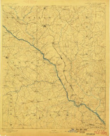
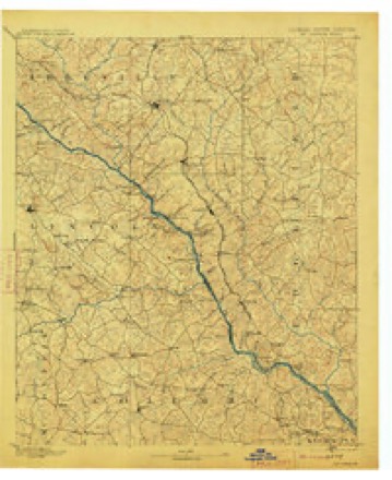
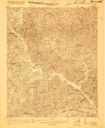
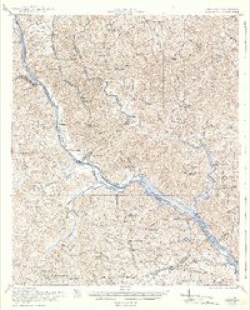
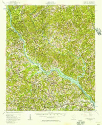
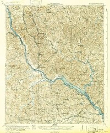
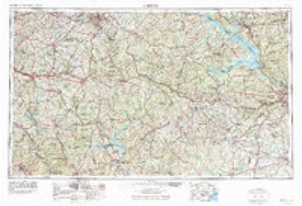
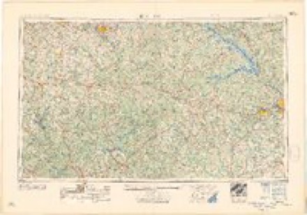
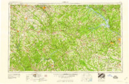
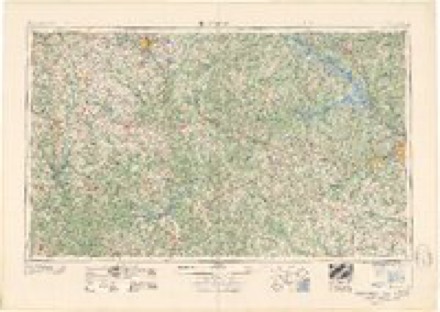
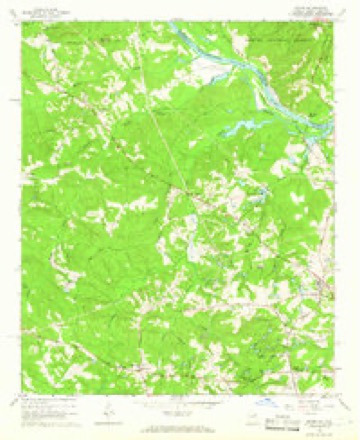
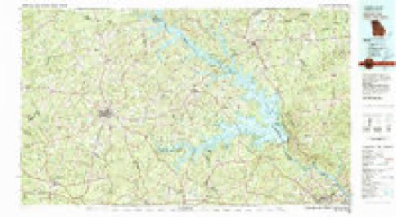
13 surveys from 24 printed sheetsMatched by testing this settlement's coordinate against the published boundary of every sheet in the United States Geological Survey's historical collection. Each opens the scanned sheet at the Survey.
- 1892 USGS Mc Cormick quadrangle1:125000, 5 printings
- 1912 USGS Mc Cormick quadrangle1:125000
- 1920 USGS Clarks Hill quadrangle1:48000
- 1921 USGS Clarks Hill quadrangle1:62500, 3 printings
- 1941 USGS Clarks Hill quadrangle1:62500, 2 printings
- 1942 USGS Clarks Hill quadrangle1:62500
- 1953 USGS Athens quadrangle1:250000, 3 printings
- 1958 USGS Athens quadrangle1:250000
- 1959 USGS Athens quadrangle1:250000
- 1963 USGS Athens quadrangle1:250000
- 1964 USGS Evans quadrangle1:24000, 3 printings
- 1980 USGS Clark Hill Lake quadrangle1:100000
- 1988 USGS Athens quadrangle1:250000
Fires near this place
158 since 1992Regional context, not property-specific evidence. The federal wildfire occurrence database lists 158 fires within 5 miles of Evans between 1992 and 2019, burning about 345 acres in total. 7 started naturally. 36 were recorded as arson. Distance is straight-line from the map coordinates, so a fire counted here may appear on a neighbouring settlement's page as well.
| Reported cause | Fires |
|---|---|
| Debris and open burning | 62 |
| Arson/incendiarism | 36 |
| Missing data/not specified/undetermined | 20 |
| Misuse of fire by a minor | 18 |
| Natural | 7 |
| Recreation and ceremony | 5 |
| Equipment and vehicle use | 5 |
| Smoking | 4 |
| Power generation/transmission/distribution | 1 |
The most recent of them, most recent first, with the day each was reported and the service that recorded it.
| Date | Cause | Size | Reported by | Name on the report |
|---|---|---|---|---|
| 9 September 2011 | Debris and open burning | under an acre | Georgia Forestry Commission | FY2012-COLUMBIA-010 |
| 9 September 2007 | Missing data/not specified/undetermined | 4.3 acres | Georgia Forestry Commission | not named |
| 8 September 2002 | Debris and open burning | under an acre | Georgia Forestry Commission | FY2003-RICHMOND-016 |
| 26 September 2010 | Debris and open burning | under an acre | Georgia Forestry Commission | FY2011-COLUMBIA-004 |
| 23 September 2019 | Debris and open burning | under an acre | Georgia Forestry Commission | FY2020COLUMBIA002 |
| 20 September 2002 | Arson/incendiarism | under an acre | Georgia Forestry Commission | FY2003-RICHMOND-023 |
| 2 September 1993 | Missing data/not specified/undetermined | under an acre | Georgia Forestry Commission | not named |
| 16 September 1999 | Debris and open burning | 1.0 acres | Georgia Forestry Commission | not named |
Settlements close enough to share some of these fires:
Mines and quarries near this place
1 within 5 milesRegional context, not property-specific evidence. The federal mineral resources record lists 1 working within 5 miles of Evans: 1 occurrence. None of them still produces. What was taken out: Sand and Gravel, Construction. Distance is straight-line from the map coordinates, so a quarry counted here may appear on a neighbouring settlement's page as well.
| Where | Site | Commodity | Status | Recorded |
|---|---|---|---|---|
| Barton Chaple Pit | Sand and Gravel, Construction | Occurrence |
Storms near this place
60 of 62 shownRegional context, not property-specific evidence. The National Weather Service names Evans in 62 storm reports between 1995 and 2025: 28 thunderstorm wind, 21 hail, 9 flash flood, 2 heavy rain. No death or injury is recorded in these reports. Each account below is quoted exactly as the forecast office filed it, from the NOAA Storm Events Database, and each date opens the federal record of that event.
| When | Event | Place named | Harm | What the report says |
|---|---|---|---|---|
| May 2005 | Thunderstorm Wind | Evans | $350,000 | EM reported numerous trees down on homes, one home split in half, in the Country Place subdivision. Trees were laid out in a typical fan shape microburst pattern. |
| June 2010 | Thunderstorm Wind | Evans | $80,000 | Emergency Manager reported trees and powerlines down in the Evans and Martinez areas. Several trees fell on homes producing minor to moderate damage. |
| April 1997 | Thunderstorm Wind | Evans | $73,000 | no account filed |
| May 2005 | Thunderstorm Wind | Evans | $50,000 | EM reported docks moved 70 feet and damaged along with minor damage to several boats. Eight to ten trees were down and a roof was damaged. |
| July 2013 | Flash Flood | Evans | $44,000 | EM reported 3 homes flooded on Biltmore Drive and Colonial Road. Several people had to be rescued. A sinkhole also resulted from the flooding on Biltmore drive. |
| July 2013 | Flash Flood | Evans | $40,000 | EM reported 5 driveways washed out on Shallowford Place off of Columbia Road. |
| April 2011 | Hail | Evans | $30,000 | Public reported golfball size hail in Evans. |
| July 2013 | Flash Flood | Evans | $24,000 | Emergency Manager reported Jones, Fox, and Forest Creeks out of their banks with several roads flooded and closed. Water was also up to the foundations of a couple of homes. |
| October 2011 | Thunderstorm Wind | Evans | $20,000 | Tree down on truck in the Spring Lakes Subdivision. |
| August 2013 | Flood | Evans | $14,000 | EM reported 2 to 4 inches of rain fell in a couple of hours causing flooding in low lying areas in the Crawford Creek Subdivision in Evans. |
| April 2011 | Thunderstorm Wind | Evans | $14,000 | HAM radio reported many trees and powerlines down in Evans. |
| July 2015 | Thunderstorm Wind | Evans | $12,000 | WAGT TV reported Blanchard Road near Paxton Way was impassable due to trees and powerlines down. |
| January 2010 | Thunderstorm Wind | Evans | $5,000 | SKYWARN spotter reported powerlines down along Old Wheeler Road near the county line. |
| December 2021 | Hail | Evans | $10 | Public reported, via social media, pea sized hail near Evans. Time estimated. |
| August 2020 | Hail | Evans | $10 | Pea sized hail reported. |
| May 2025 | Flash Flood | Evans | - | Columbia County EM reported water rising in the yard of a residence approaching the home. |
| May 2025 | Flash Flood | Evans | - | Social media report with video showing significant flooding of property in back yard of residence from Mt Enna Branch out of its banks. Swiftly moving water level was up to the jumping surface of a trampoline (around 4 ft). |
| June 2025 | Thunderstorm Wind | Evans | - | Columbia County Dispatch reported trees down along Columbia Rd at Old Belair Rd. Time estimated by radar. |
| May 2024 | Hail | Evans | - | HAM Radio Operator reported dime size hail near the intersections of Highway 383 and S. Belair Road and Highway 232 and Columbia Road. |
| July 2024 | Flash Flood | Evans | - | Augusta Media reported a pond overflowing into property along Farmington Dr in Evans. |
| September 2024 | Flash Flood | Evans | - | Trained spotter reported flooding across N Old Belair Rd near Columbia Rd. |
| August 2024 | Thunderstorm Wind | Evans | - | Columbia County dispatch reported a tree fell on a residence along Creekview Cir in Evans. No injuries reported. |
| September 2023 | Hail | Evans | - | Amateur radio operator forwarded a report of dime sized hail at Owens Road and Belair Road. Time estimated by radar. |
| August 2021 | Thunderstorm Wind | Evans | - | Photo received from Broadcast Media of a tree down at a business located off of Belair Road. |
| March 2019 | Tornado (EF2) | Evans | - | Numerous hardwood and softwood trees were uprooted and snapped along the path of the tornado. Extensive damage occurred to a home along Magnolia Lane. This included roof damage, damage to windows, a garage door and two vehicles. As the tornado continued to the NE, it produced damage in the Summerhill Neighborhood. Significant |damage occurred to a wooden fence and a small shed. One home lost a significant amount of siding on one side and other homes had damage to shingled roofs and fascia board. Additionally, two air conditioning compressor units were damaged and overturned. The tornado then crossed William Few Pkwy and produced extensive tree damage in the Knob Hill Neighborhood, especially near the playground. |
| June 2018 | Thunderstorm Wind | Evans | - | Columbia County Sherriff Dispatch reported multiple trees down across the county, radar indicated strongest winds in the Evans, Martinez, and Grovetown communities. |
| July 2017 | Thunderstorm Wind | Evans | - | Columbia Co GA Sheriff's Dept reported trees down near the intersection of Washington Rd and Kroger Rd. |
| July 2017 | Thunderstorm Wind | Evans | - | Columbia Co GA Sheriff's Dept reported trees down near the intersection of Morris Rd and Wrightsboro Rd. |
| July 2017 | Thunderstorm Wind | Evans | - | Columbia Co GA Sheriff's Dept reported trees down blocking the roadway on Stonington Dr in Martinez. |
| July 2016 | Thunderstorm Wind | Evans | - | Dispatch reported trees down at Meadow Lane and Hereford Farm Road. |
| June 2014 | Thunderstorm Wind | Evans | - | Public reported small to medium tree limbs down. They also measured a 56 mph wind gust on their personal weather station. |
| July 2013 | Heavy Rain | Evans | - | Crawford Creek Water Plant closed to do flooding across access roads. |
| July 2013 | Heavy Rain | Evans | - | County weather observer at Shadowmoor Ct. in Martinez reported 3 inches of rain within 2 hours. |
| July 2012 | Hail | Evans | - | COCORAHS Observer reported dime to nickel size hail near Evans. |
| July 2012 | Hail | Evans | - | Public reported half dollar size hail. |
| July 2012 | Hail | Evans | - | SKYWARN spotter reported nickel to quarter size hail on Hereford Farm Road between Washington and Columbia Roads. |
| October 2011 | Hail | Evans | - | Pea to penny size hail was reported in Evans. |
| October 2011 | Thunderstorm Wind | Evans | - | Trees down on powerlines near Oakley Pirkle Rd. Reported by the Public through WRDW. |
| April 2009 | Hail | Evans | - | SKYWARN spotter reported golf ball size hail. |
| May 2008 | Hail | Evans | - | Emergency Manager reported golf ball size hail from Harlem to Grovetown to Martinez and Evans. Damage to vehicles, plants, and trees was reported and also that a couple of trees were down. |
| July 2008 | Thunderstorm Wind | Evans | - | Sheriff reported trees down at Washington and Tubman roads. |
| June 2007 | Thunderstorm Wind | Evans | - | Emergency manager, Sheriff, and SKYWARN HAMs reported numerous trees and powerlines down, some on homes and vehicles from an intense downburst. Hardest hit areas were Rivershyre and Stratford subdivisions in and around Evans. |
| June 2007 | Hail | Evans | - | Spotter reported penny to nickel size hail in Stratford subdivision. |
| May 2006 | Hail | Evans | - | Emergency manager reported penny size hail. |
| June 2006 | Thunderstorm Wind | Evans | - | SKYWARN spotter reported several large trees down on the local golf course. |
| August 2006 | Thunderstorm Wind | Evans | - | Sheriff reported trees down along Cobbham road. |
| August 2006 | Hail | Evans | - | Public reported penny size hail. |
| August 2006 | Thunderstorm Wind | Evans | - | SKYWARN spotter reported large limbs down on hwy 28 and a semi truck overturned on Bobby Jones Expressway due to heavy rain. |
| April 2005 | Thunderstorm Wind | Evans | - | WAGT TV reported trees down in Evans. |
| July 2005 | Thunderstorm Wind | Evans | - | Sheriff reported trees, powerlines, and traffic lights out from Martinez to Evans. |
| June 2005 | Hail | Evans | - | Public reported nickel size hail and lawn chairs blown over. |
| May 2005 | Hail | Evans | - | EM reported nickel size hail. |
| August 2004 | Thunderstorm Wind | Evans | - | Post Office reported some trees down just west of Evans. |
| March 2002 | Hail | Evans | - | Spotter reported 1 inch hail in Evans. |
| March 2002 | Hail | Evans | - | TV 26 meteorologist reported 2 inch hail. |
| May 2001 | Hail | Evans | - | HAM operator reported dime size hail. |
| April 1998 | Hail | Evans | - | SKYWARN spotter reports 1 inch hail. |
| June 1998 | Hail | Evans | - | SKYWARN spotter reported 3/4 inch hail. |
| September 1998 | Flash Flood | Evans | - | EPD reported flash flooding along several streams. Some residents were evacuated and several streets were closed. |
| March 1998 | Flash Flood | Evans | - | Reed Creek spilled out of its banks and approached the foundation of some homes. EPD reported no water made it into any homes but it was close. |
Nearest settlements
The eight closest, with where each one stands in the county. Distances are straight-line, computed from the Geographic Names Information System coordinates.
| Map | Place | Distance | Sheets |
|---|---|---|---|
| Camelot | 0.4 miles | 24 | |
| Jamaica Estates | 0.4 miles | 25 | |
| Evans Mill | 0.5 miles | 25 | |
| Idylwilde | 0.8 miles | 24 | |
| Country Place | 0.9 miles | 24 | |
| Maysville (historical) | 1.0 miles | 25 | |
| Chimney Hill | 1.0 miles | 24 | |
| Evanston | 1.2 miles | 24 |
Elsewhere
Matched on this settlement's Geographic Names Information System number rather than its name, so it cannot be a different place of the same name in another state.
| Wikipedia article on Evans | An encyclopaedic summary. Its text is share-alike, so it is linked here rather than copied. |
| Wikidata item Q2437337 | The structured record the population and elevation above come from. Public domain (CC0). |
Provenance
This settlement is recorded in the Geographic Names Information System as feature 355729. The sheet list is computed by point-in-boundary test against the United States Geological Survey's historical topographic inventory. Both are works of the United States government and carry no copyright under 17 U.S.C. 105.
Wildfire. Short, Karen C. 2022. Spatial wildfire occurrence data for the United States, 1992-2020 [FPA_FOD_20221014]. 6th Edition. Fort Collins, CO: Forest Service Research Data Archive. https://doi.org/10.2737/RDS-2013-0009.6 Collected with United States Government funding and usable without additional permissions or fees.
Mines and quarries. USGS Mineral Resources Data System (MRDS) https://mrdata.usgs.gov/mrds/ A work of the United States government, no copyright under 17 U.S.C. 105.
Storms. NOAA National Centers for Environmental Information, Storm Events Database https://www.ncei.noaa.gov/stormevents/ A work of the United States government, no copyright under 17 U.S.C. 105. Narratives are quoted verbatim from the National Weather Service report and are not edited or summarised.