 Block
From the record
2 National Register listings published here.
Sources: the National Register database, National Park Service
65 topographic sheets cover 105 settlements here, and 2 properties are on the National Register of Historic Places.
2 National Register listings published here.
Sources: the National Register database, National Park Service
Every property in this county listed on the National Register of Historic Places, with the year it was listed and the federal nomination document.
| Photograph | Property | Type | Listed | Reference |
|---|---|---|---|---|
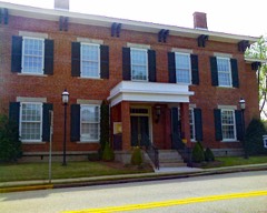 | Columbia County Courthouse | building | 1980 | 80001005 |
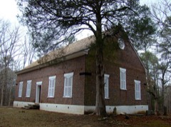 | Kiokee Baptist Church | building | 1978 | 78000976 |
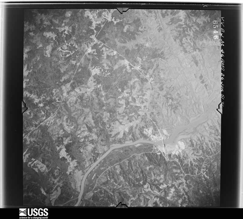
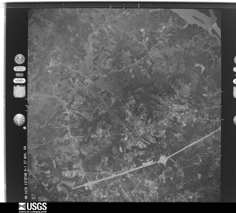
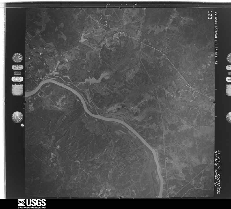
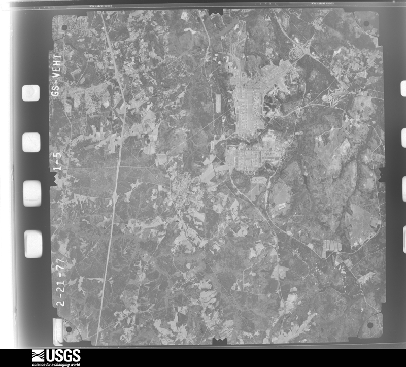
Flown by the U.S. Geological Survey between 1937 and 1989, the Aerial Photo Single Frames collection is the definitive mid-century view of the land: fields, roads and rivers as the camera saw them. The Survey holds 724 frames inside the rectangle that bounds this county; the 21 frames below were taken over the county itself, chosen across the decades of flights (at most four a year from that rectangle), so one flight cannot crowd out the rest. The full set is free to browse and download at EarthExplorer under the dataset Aerial Photo Single Frames.

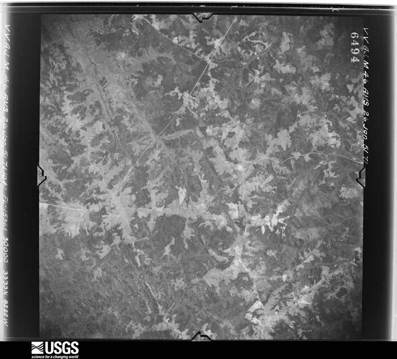
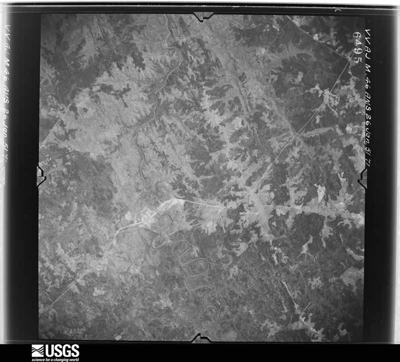














The thermometers that kept this county's weather, and the gages that measured the flow of its streams, as the federal records hold them. The extremes below are measured values from those records, not estimates.
Who lived here in 1950, one enumeration district at a time, as the Census Bureau described each district. Each row opens its official National Archives result, with Population Schedules and ED Maps available there.
Every wildfire the federal occurrence database records inside this county: 614 of them, burning about 1,637 acres. 33 started naturally and 85 were recorded as arson. Each settlement page carries the fires within five miles of it.
| Reported cause | Fires |
|---|---|
| Debris and open burning | 305 |
| Arson/incendiarism | 85 |
| Missing data/not specified/undetermined | 62 |
| Misuse of fire by a minor | 40 |
| Equipment and vehicle use | 38 |
| Natural | 33 |
| Recreation and ceremony | 25 |
| Smoking | 23 |
| Railroad operations and maintenance | 3 |
The five largest, by the area the report gives. None of them was recorded as arson.
| Date | Cause | Size | Reported by | Name on the report |
|---|---|---|---|---|
| 8 March 2015 | Debris and open burning | 60 acres | Georgia Forestry Commission | FY2015-COLUMBIA-010 |
| 25 February 1996 | Debris and open burning | 35 acres | Georgia Forestry Commission | not named |
| 4 August 2008 | Natural | 32 acres | Georgia Forestry Commission | not named |
| 4 September 2014 | Natural | 32 acres | Georgia Forestry Commission | FY2015-COLUMBIA-002 |
| 21 November 1999 | Debris and open burning | 32 acres | Georgia Forestry Commission | not named |
| 10 March 1993 | Misuse of fire by a minor | 29 acres | Georgia Forestry Commission | not named |
| 16 January 1999 | Recreation and ceremony | 28 acres | Georgia Forestry Commission | not named |
| 9 November 1999 | Debris and open burning | 26 acres | Georgia Forestry Commission | not named |
Every settlement page carries the fires within five miles of it - see the settlement index below.
The NOAA Storm Events Database holds 386 reports for this county, causing no deaths, 8 injuries and about $6,600,620 in recorded property damage. Each settlement page carries the reports that name it.
| Kind of event | Reports |
|---|---|
| Thunderstorm Wind | 215 |
| Hail | 106 |
| Flash Flood | 39 |
| Tornado | 8 |
| Heavy Rain | 6 |
| Lightning | 4 |
| Flood | 4 |
| Funnel Cloud | 2 |
| Winter Storm | 2 |
The most serious of them, by death, then injury, then recorded damage. The accounts are quoted exactly as the forecast office filed them.
| When | Event | Place named | Harm | What the report says |
|---|---|---|---|---|
| May 1999 | Thunderstorm Wind | Appling | 2 hurt, $150,000 | EOC and damage survey found trees down all across northern Columbia county. A downburst 8 miles wide with a 4 mile focus took down many trees and damaged a few homes. An abandoned mobile home was totaled. |
| March 2008 | Tornado (EF1) | Winfield | 2 hurt, $140,000 | Several mobile homes had moderate damage and one was destroyed. Numerous trees and powerlines were down along path. Two people had minor injuries. |
| April 2017 | Thunderstorm Wind | Leah | 2 hurt | Significant damage was done to a dock, 20 boats were destroyed, and another|20 to 30 boats suffered extensive damage, at Pointes West Army Resort in the Fort Gordon Recreational Area on Clarks Hill Lake. Several pine trees were also snapped, all facing easterly. 2 persons, who were on the dock at the time, suffered minor injuries as the dock overturned. |
| June 2016 | Thunderstorm Wind | Leah | 1 hurt | Downburst winds from a thunderstorm produced an area of significant damage to trees and property. The event occurred at Mistletoe State Park in northern Columbia County, GA. Nearly 200 trees had limb damage, were uprooted or snapped. There was a mixture of hardwood and softwood trees, however softwood trees made up most of the trees in this area of the park. There were approximately 10 vehicles that suffered significant damage. There were 10 to 15 campers that suffered significant damage with one overturned. The overturned camper was a pop-up camper. The wind being channeled into a couple of the coves may have produced some of the strongest winds with the event. The diameter of the trees damaged ranged from around 6 inches up to 2 feet. The damage stretched from the park ranger residence northward to the end of the point where the campground is located. This distance is approximately one half mile. There was one injury associated with this event. A 5 year old female child inside one of the campers that was struck by a fallen tree suffered a broken arm. About $25,000 in damage was done to the cabins at the park. Damage estimates for the vehicles and campers is unknown. |
| December 1983 | Thunderstorm Wind | not stated | 1 hurt | no account filed |
| May 1978 | Tornado (F1) | not stated | $2,500,000 | no account filed |
| April 2009 | Tornado (EF2) | Pumpkin Center | $1,000,000 | A supercell tornado tracked across Columbia county from northeast of Harlem through Grovetown damaging many homes and taking down numerous trees and powerlines. Several vehicles were crushed and there were about a dozen minor injuries. |
| May 2005 | Thunderstorm Wind | Evans | $350,000 | EM reported numerous trees down on homes, one home split in half, in the Country Place subdivision. Trees were laid out in a typical fan shape microburst pattern. |
| February 2003 | Tornado (F2) | Appling | $310,000 | A combination of an intense microburst and a tornado produced winds estimated at 120-130mph. A barn and camper trailer. Moderate damage was done to 4 homes with minor damage to 34 other homes. Debris from the barn was found a mile downstream. The microburst width was 1/8-1/4 mile wide with the vortex circulation about 50 yds wide. |
| August 2012 | Flash Flood | Martinez | $280,000 | Sheriff reported 3 1/2 feet of wather covering Habersham Road in the Watervale subdivision. |
| April 2022 | Lightning | Harlem | $200,000 | Media reported a fire to a home on Wells Dr in Harlem that was caused by a lightning strike. The home sustained major damage. No injuries reported. |
| May 2010 | Thunderstorm Wind | Leah | $200,000 | A severe thunderstorm produced a microburst in the western end of Columbia County early this morning around 12:30 a.m. downing numerous trees and power lines. Quarter size hail was also reported in the affected area. ||Columbia County Roads & Bridges crews have been out since 2am clearing the trees from the roadways. The supervisor advised me at 7:45 a.m. that they were near finished clearing the fallen trees from the roadways.||One of the affected residents on Old Lincolnton Road in Appling advised me this morning that her family had been awakened by the loud boom of thunder and then saw the rain blowing sideways, followed by the large hail pounding on her home. Thats when a70-foot tall pine tree was blown over onto her home. ||All of the downed trees are laying in the same direction, indicating the microburst and not a tornado. However, the howling fierceness of the wind in a microburst is very much like a tornadojust in a straight line.||Below is a list of locations of reports of trees down, power lines down, and property damage:||Trees Down:||1. 104/Waters Edge Ln. |2. Crawford Place Dr/Ray Owens Rd.|3. Ridge Rd/104.|4. Cobbham Rd/Ray Owens Rd.|5. Ray Owens/Tom Bartles Rd.|6. Full Moon Dr/Keg Creek.|7. 3262 Ray Owens Rd.|8. Eubanks Rd/(104/Ray Owens).|9. Cobbham/Gales intersection. |10. Old Lincolnton Road/Tommy Shaw Drive.|11. 6400 block of Ridge Road.|12. Keg Creek/Full Moon Drive.|13. 6514 Washington Road.|14. Ridge Road/Bohler Drive.||Power Lines Down:||1. 3262 Ray Owens Rd.|2. Full Moon Dr/Keg Creek.|3. Ridge Rd/Ray Owens received @ 4am.|4. Eubanks Rd(104/Ray Owens).|5. Keg Creek/Full Moon.|6. 6514 Washington Road.||Property Damage:||1. 6633 Eubanks Dr.|2. Eubanks Dr./Suan Dr.|3. 4219 Old Lincolnton Road. |
| April 2011 | Thunderstorm Wind | Grovetown | $180,000 | Numerous trees and powerlines down across the county with several homes sustaining severe damage. |
| June 2013 | Flash Flood | Martinez | $120,000 | Columbia county dispatch reported 3 feet of water on Saddletree Lane. Water was up to several mail boxes and also washed out portions of Stevens Creek road. |
| August 2009 | Flash Flood | Martinez | $120,000 | EM reported flooding of streams over roads and into homes trapping some vehicles and causing some damage to homes. |
| June 2001 | Flash Flood | Appling | $98,000 | Emergency manager reported flooding on Ray Owens road and other areas of central Columbia county. |
| June 2010 | Thunderstorm Wind | Evans | $80,000 | Emergency Manager reported trees and powerlines down in the Evans and Martinez areas. Several trees fell on homes producing minor to moderate damage. |
| April 1997 | Thunderstorm Wind | Evans | $73,000 | no account filed |
| February 2012 | Thunderstorm Wind | Grovetown | $50,000 | EM reported numerous trees and powerlines down across the southeast portions of the county. A couple of trees fell on vehicles. |
| May 2005 | Thunderstorm Wind | Evans | $50,000 | EM reported docks moved 70 feet and damaged along with minor damage to several boats. Eight to ten trees were down and a roof was damaged. |
| June 2013 | Flood | Snead | $48,000 | Emergency Manager reported heavy rains during the afternoon resulted in flooding in the Evans area where 2 to 6 inches of rain fell. One to three feet of water flooded the Mitchell Park area and the Windmill Subdivision. |
| July 2013 | Flash Flood | Evans | $44,000 | EM reported 3 homes flooded on Biltmore Drive and Colonial Road. Several people had to be rescued. A sinkhole also resulted from the flooding on Biltmore drive. |
| July 2013 | Flash Flood | Evans | $40,000 | EM reported 5 driveways washed out on Shallowford Place off of Columbia Road. |
| July 2013 | Lightning | Martinez | $40,000 | EM reported lightning struck a home and did moderate damage. |
| July 2010 | Thunderstorm Wind | Appling | $32,000 | COOP reported trees down in Appling, one was on a home that did moderate damage to it. |
| April 2011 | Hail | Evans | $30,000 | Public reported golfball size hail in Evans. |
| July 2010 | Lightning | Martinez | $30,000 | Lightning struck a home in the 4100 block of Quail Springs Circle. |
| June 2009 | Thunderstorm Wind | Martinez | $25,000 | County paper reported many trees and powerlines down. Trees were down on Old Evans and Old Petersburg roads, one fell on a home. Cable and powerlines were down on Dent, Mears, and Padrick Streets. |
| April 1957 | Tornado (F2) | not stated | $25,000 | no account filed |
| April 1957 | Tornado (F2) | not stated | $25,000 | no account filed |
| July 2013 | Flash Flood | Evans | $24,000 | Emergency Manager reported Jones, Fox, and Forest Creeks out of their banks with several roads flooded and closed. Water was also up to the foundations of a couple of homes. |
| July 2012 | Hail | Grovetown | $20,000 | A SKYWARN spotter reported golfball size hail on Columbia Road just north of I-20. |
| October 2011 | Thunderstorm Wind | Evans | $20,000 | Tree down on truck in the Spring Lakes Subdivision. |
| April 2011 | Hail | Grovetown | $20,000 | Public reported half dollar size hail in Grovetown. |
| July 2013 | Thunderstorm Wind | Winfield | $18,000 | EM reported power lines and poles down along the lake shore in Winfield Hill area of northwest Columbia County. Several trees were also down. |
| November 2014 | Thunderstorm Wind | Martinez | $16,000 | Columbia County EM reported tree on vehicle on Hampstead Place. |
| October 2011 | Thunderstorm Wind | Martinez | $15,000 | Trees and large limbs down along Old Petersburg Rd. reported by the Augusta Chronicle. |
| August 2013 | Flood | Evans | $14,000 | EM reported 2 to 4 inches of rain fell in a couple of hours causing flooding in low lying areas in the Crawford Creek Subdivision in Evans. |
| April 2011 | Thunderstorm Wind | Evans | $14,000 | HAM radio reported many trees and powerlines down in Evans. |
| July 2015 | Thunderstorm Wind | Evans | $12,000 | WAGT TV reported Blanchard Road near Paxton Way was impassable due to trees and powerlines down. |
| November 2014 | Thunderstorm Wind | Appling | $12,000 | Sheriff reported multiple trees down across the county. |
| July 2013 | Flash Flood | Martinez | $12,000 | EM reported streams out of their banks flooding neighborhoods in the Martinez area. |
| August 2016 | Flash Flood | Grovetown | $10,000 | Columbia County, GA Dispatch reported Robinson Avenue in Grovetown was washed out due to heavy rainfall. |
| March 2011 | Thunderstorm Wind | Grovetown | $10,000 | EM reported a semi trailer overtured from wind gusts associated with a thunderstorm. The semi was in the rest area along I-20. |
| September 2008 | Flash Flood | Phinizy | $10,000 | DOT reported secondary dirt roads washed out from flash flooding that will have to be re-excavated. |
| December 1997 | Flash Flood | Martinez | $10,000 | Flash flooding along several creeks flooded several highways. G.R. Tucker road was washed out. |
| April 1997 | Hail | Grovetown | $10,000 | no account filed |
| June 2011 | Thunderstorm Wind | Pollards Corner | $8,000 | Public reported trees down in the Martinez and Evans areas and over towards Grovetown. |
| April 2013 | Thunderstorm Wind | Harlem | $7,000 | SKYWARN HAM and Emergency Manager reported trees and Powerlines in Harlem and areas to the east. |
| November 2014 | Thunderstorm Wind | Martinez | $6,000 | Columbia EM reported damaged railroad crossing arms at the intersection of Old Evans Road and Martinez Blvd. |
| August 2014 | Thunderstorm Wind | Appling | $6,000 | Sheriff reported multiple trees down in Appling and on I-20. |
| June 2009 | Thunderstorm Wind | Harlem | $6,000 | SKYWARN spotters reported trees down on Bell street, Trippe street, and Hecks streat. |
| September 2020 | Flash Flood | Martinez | $5,000 | Reed Creek flooded due to heavy rain. This caused The Pass, between Boulder Trail and Bakers Ferry Trail to become flooded. Furys Ferry Rd near Reed Creek Park was also flooded. |
| February 2012 | Hail | Harlem | $5,000 | Emergency Manager reported 1 inch hail in Harlem and Grovetown. |
| January 2010 | Thunderstorm Wind | Evans | $5,000 | SKYWARN spotter reported powerlines down along Old Wheeler Road near the county line. |
| September 2007 | Thunderstorm Wind | Appling | $5,000 | Saturday night on Ray Owens Rd., Appling, a microburst uprooted an old oak tree, the tops of trees were clipped off, limbs everywhere. Tin roof off a trailor, tin off a shed found across a field, and debre everywhere. |
| June 1994 | Thunderstorm Wind | Appling | $5,000 | Numerous trees and power lines were downed by thunderstorm winds. |
| November 2014 | Thunderstorm Wind | Martinez | $4,000 | Columbia County EM reported trees down on CSX railroad tracks at the intersection of Hightower Drive and Robers Road. |
| July 2012 | Thunderstorm Wind | Winfield | $4,000 | Sheriff dispatch reported trees down just west of Appling. |
| November 2010 | Thunderstorm Wind | Pollards Corner | $4,000 | Sheriff reported trees and powerlines down on Petersburg rd. |
The Survey's mineral resources record lists 5 workings inside this county. 2 still produce and 3 are closed or unrecorded. Each settlement page carries the workings within five miles of it.
| Commodity | Workings |
|---|---|
| Stone, Crushed/Broken | 2 |
| Brick Clay | 1 |
| Clay | 1 |
| Magnesite, Chromium | 1 |
The least common of them first, because a county's hundredth gravel pit says nothing its first ten did not.
| Where | Site | Commodity | Status | Recorded |
|---|---|---|---|---|
| Campania Mine | Clay | Producer | ||
| Campania Pit | Brick Clay | Occurrence | ||
| The Dixie Mountain Serpentine Dep | Magnesite, Chromium | Past Producer | Surface | |
| Dogwood Quarry | Stone, Crushed/Broken | Producer | ||
| Grovetown Quarry | Stone, Crushed/Broken | Past Producer |
Named settlements recorded in the Geographic Names Information System, each with the topographic sheets covering it. Villages, hamlets and abandoned places alike. Each is shown with the nearest named watercourse or landform and the survey quadrangle it falls on.
Evans census division · 30813 · On Sadie Morris Creek · Grovetown quadrangle
20 sheets, 1922 to 1988
Grovetown-Harlem census division · 30813 · On Spring Creek · Harlem quadrangle
16 sheets, 1922 to 1988
Grovetown-Harlem census division · 30813 · On Sadie Morris Creek · Grovetown quadrangle
20 sheets, 1922 to 1988
Evans census division · 30907 · On Reed Creek · Martinez quadrangle
25 sheets, 1892 to 1988
Evans census division · 30809 · On Mount Enna Branch · Evans quadrangle
24 sheets, 1892 to 1988
Appling census division · 30802 · Appling quadrangle
20 sheets, 1892 to 1988
No longer a settlement
Evans census division · 30809 · On Mount Enna Branch · Evans quadrangle
24 sheets, 1892 to 1988
Evans census division · 30809 · On Mount Enna Branch · Evans quadrangle
24 sheets, 1892 to 1988
Evans census division · 30809 · On Mount Enna Branch · Evans quadrangle
24 sheets, 1892 to 1988
Appling census division · 30802 · On Kelly Branch · Appling quadrangle
20 sheets, 1892 to 1988
No longer a settlement
Appling census division · 30802 · On Keg Creek · Leah quadrangle
20 sheets, 1892 to 1988
No longer a settlement
Evans census division · 30809 · On Walton Branch · Evans quadrangle
24 sheets, 1892 to 1988
Evans census division · 30809 · On Bettys Branch · Martinez quadrangle
25 sheets, 1892 to 1988
Grovetown-Harlem census division · 30813 · Grovetown quadrangle
20 sheets, 1922 to 1988
No longer a settlement
Appling census division · 30802 · On Harris Branch · Appling quadrangle
20 sheets, 1892 to 1988
Grovetown-Harlem census division · 30813 · Grovetown quadrangle
20 sheets, 1922 to 1988
Evans census division · 30809 · On Long Branch · Evans quadrangle
24 sheets, 1892 to 1988
Evans census division · 30813 · On Mill Branch · Grovetown quadrangle
20 sheets, 1922 to 1988
Evans census division · 30809 · Martinez quadrangle
25 sheets, 1892 to 1988
No longer a settlement
Grovetown-Harlem census division · 30909 · On Sadie Morris Creek · Grovetown quadrangle
20 sheets, 1922 to 1988
Appling census division · 30802 · On Burns Branch · Evans quadrangle
24 sheets, 1892 to 1988
Evans census division · 30809 · On Bettys Branch · Martinez quadrangle
25 sheets, 1892 to 1988
Evans census division · 30907 · Near Ninety Nine Islands · Martinez quadrangle
25 sheets, 1892 to 1988
Evans census division · 30907 · Near Ninety Nine Islands · Martinez quadrangle
25 sheets, 1892 to 1988
Evans census division · 30907 · On Reed Creek · Martinez quadrangle
25 sheets, 1892 to 1988
Evans census division · 30907 · On Reed Creek · Martinez quadrangle
25 sheets, 1892 to 1988
Evans census division · 30907 · Near Ninety Nine Islands · Martinez quadrangle
25 sheets, 1892 to 1988
Evans census division · 30907 · Near Ninety Nine Islands · Martinez quadrangle
25 sheets, 1892 to 1988
Evans census division · 30809 · On Delph Branch · Evans quadrangle
24 sheets, 1892 to 1988
Appling census division · 30802 · Near Mount Carmel · Winfield quadrangle
20 sheets, 1892 to 1988
Evans census division · 30809 · On Mount Enna Branch · Evans quadrangle
24 sheets, 1892 to 1988
The vanished settlements of Columbia County: the places named above that are no longer on the map.