 Block
Fish, Georgia
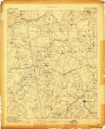
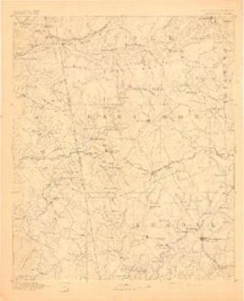
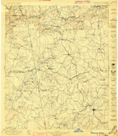
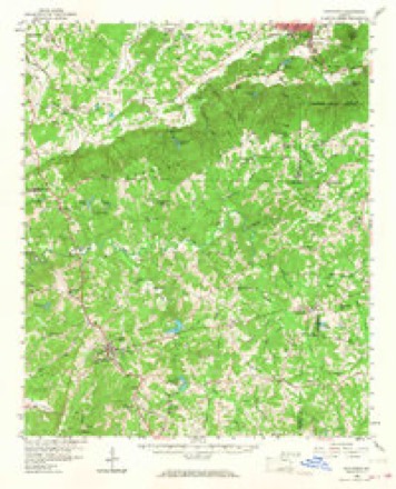
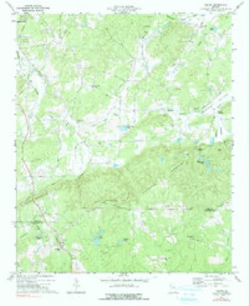
16 topographic sheets cover this place, the earliest surveyed in 1889 and the latest in 1981. It stands in the Rockmart census division. It lies in ZIP code area 30153. The Survey maps it on the Felton quadrangle.
Topographic sheets covering this place
9 surveys from 16 printed sheetsMatched by testing this settlement's coordinate against the published boundary of every sheet in the United States Geological Survey's historical collection. Each opens the scanned sheet at the Survey.
- 1889 USGS Tallapoosa quadrangle1:125000
- 1892 USGS Tallapoosa quadrangle1:125000
- 1897 USGS Tallapoosa quadrangle1:125000, 4 printings
- 1953 USGS Atlanta quadrangle1:250000, 2 printings
- 1957 USGS Atlanta quadrangle1:250000
- 1958 USGS Atlanta quadrangle1:250000
- 1958 USGS Buchanan quadrangle1:62500, 2 printings
- 1973 USGS Felton quadrangle1:24000, 2 printings
- 1981 USGS Anniston quadrangle1:100000, 2 printings



Fires near this place
661 since 1992Regional context, not property-specific evidence. The federal wildfire occurrence database lists 661 fires within 5 miles of Fish between 1992 and 2019, burning about 2,614 acres in total. 7 started naturally. 426 were recorded as arson. Distance is straight-line from the map coordinates, so a fire counted here may appear on a neighbouring settlement's page as well.
| Reported cause | Fires |
|---|---|
| Arson/incendiarism | 426 |
| Debris and open burning | 170 |
| Missing data/not specified/undetermined | 22 |
| Equipment and vehicle use | 15 |
| Recreation and ceremony | 10 |
| Misuse of fire by a minor | 8 |
| Natural | 7 |
| Smoking | 2 |
| Railroad operations and maintenance | 1 |
The most recent of them, most recent first, with the day each was reported and the service that recorded it.
| Date | Cause | Size | Reported by | Name on the report |
|---|---|---|---|---|
| 9 September 2016 | Debris and open burning | under an acre | Georgia Forestry Commission | FY2017-POLK-010 |
| 8 September 2016 | Debris and open burning | under an acre | Georgia Forestry Commission | FY2017-POLK-008 |
| 7 September 2008 | Arson/incendiarism | 1.0 acres | Georgia Forestry Commission | not named |
| 7 September 2008 | Arson/incendiarism | 1.0 acres | Georgia Forestry Commission | not named |
| 6 September 2002 | Arson/incendiarism | 3.0 acres | Georgia Forestry Commission | FY2003-POLK-026 |
| 5 September 2006 | Arson/incendiarism | 1.0 acres | Georgia Forestry Commission | not named |
| 4 September 1998 | Arson/incendiarism | 1.5 acres | Georgia Forestry Commission | not named |
| 4 September 1998 | Arson/incendiarism | 1.2 acres | Georgia Forestry Commission | not named |
Settlements close enough to share some of these fires:
Mines and quarries near this place
10 of 12 shownRegional context, not property-specific evidence. The federal mineral resources record lists 12 workings within 5 miles of Fish: 11 past producers, 1 producer. 1 still produces. What was taken out: Iron, Clay. Distance is straight-line from the map coordinates, so a quarry counted here may appear on a neighbouring settlement's page as well.
| Where | Site | Commodity | Status | Recorded |
|---|---|---|---|---|
| Rockmart Shale Quarry | Clay | Producer | ||
| Grady Mine No. 2 | Iron | Past Producer | ||
| Grady Mine No.1 | Iron | Past Producer | 1879 | |
| Green Bank | Iron | Past Producer | Residual | |
| H.E.Lucas Property | Iron | Past Producer | 1915 | |
| J K Davis Mine | Iron | Past Producer | ||
| Simpson Mine | Iron | Past Producer | Residual | |
| W.A. Camp & L. Clark Banks | Iron | Past Producer | Residual | |
| W.A.Camp & L.Clark Ore Bank-B | Iron | Past Producer | Residual | |
| Fish Creek Distr.-A | Past Producer | Residual |
Storms near this place
18 since 2001Regional context, not property-specific evidence. The National Weather Service names Fish in 18 storm reports between 2001 and 2025: 14 thunderstorm wind, 2 hail, 2 flash flood. No death or injury is recorded in these reports. Each account below is quoted exactly as the forecast office filed it, from the NOAA Storm Events Database, and each date opens the federal record of that event.
| When | Event | Place named | Harm | What the report says |
|---|---|---|---|---|
| March 2021 | Thunderstorm Wind | Fish | $250,000 | A National Weather Service survey determined that a downburst with maximum wind speeds of 105 MPH struck the southern and eastern side of Cedartown. The path was around 3 to 3.5 miles long and about 1 to 1.5 miles wide. The center of the downburst was located in a heavily wooded area east of Main Street and south of Highway 278. Numerous downed trees south of Highway 27 along Tuck Street were snapped or blown down facing south, away from the center of the downburst area. Numerous trees were snapped or uprooted along East Point Road north of Highway 278 facing north or northwest, away from the center of the downburst. The strong winds continued in the area east and southeast of Highway 27, snapping and uprooting trees along Lees Chapel Road, Friendly Baptist Road and Coaling Road in a east to northeast direction. Numerous homes in the area sustained structural damage to their roofs, mainly due to downed trees or shingle damage from the strong winds. |
| July 2018 | Flash Flood | Fish | $30,000 | Polk County Emergency Management reported road closures across Cedartown due to flash flooding. Several yards experienced extreme erosion, and at least two cars were submerged to their windows in flood waters. Flooded roadways included, but were not limited to, Columbia Avenue between College Street and Essex Street, North Cave Spring Street between Jule Peek Ave and John Hand Road, Sixth Street at Girard, East John Hand near the railroad tracks, Furnace Street, East Queen Street, and Charles Street. Radar estimates indicate rainfall amounts of 4 to 5 inches occurred over a large portion of central and western Polk County. |
| May 2003 | Thunderstorm Wind | Fish | $5,000 | The Polk county Fire Department reported that a number of trees and some power lines were down in the Fish Creek area. |
| July 2020 | Thunderstorm Wind | Fish | $3,000 | The Polk County 911 center reported a few trees blown down in the Cedartown area. |
| July 2017 | Thunderstorm Wind | Fish | $3,000 | The Polk County 911 center reported trees blown down from Sam Hutchins Road southwest of Cedartown to Antioch Road at Hightower Falls Road southeast of Cedartown. |
| June 2016 | Thunderstorm Wind | Fish | $3,000 | The Polk County Emergency Manager reported several trees blown down north of the city of Cedartown. |
| March 2011 | Flash Flood | Fish | $3,000 | The Polk County Emergency Management Director reported that two county roads were flooded caused by nearby streams and drainage ditches. The roads were just of U.S. Highway 27 near the Haralson county line. Damage was confined to minor debris removal. |
| February 2024 | Thunderstorm Wind | Fish | $2,000 | Trees reported down near the intersection of N 6th Street and Seab Green Rd. |
| June 2016 | Thunderstorm Wind | Fish | $2,000 | The Polk County Emergency Manager reported several trees blown down north of the city of Cedartown. |
| May 2024 | Thunderstorm Wind | Fish | $1,000 | Tree down at the intersection of Prior Station Road and Edwards Road. |
| July 2023 | Thunderstorm Wind | Fish | $1,000 | Tree down near the intersection of Potash Rd and Branch Rd. |
| July 2023 | Thunderstorm Wind | Fish | $1,000 | Emergency manager reported a tree down near the intersection of Cave Springs Rd and Summerwind Dr. |
| November 2022 | Thunderstorm Wind | Fish | $1,000 | Tree down on Valley Grove Rd at cave spring Rd near Cedartown. |
| April 2025 | Hail | Fish | - | Golf ball size hail reported along michael boulevard. |
| January 2023 | Thunderstorm Wind | Fish | - | Trees and powerlines downed near the intersection of Pine St and W Girard Ave. |
| June 2023 | Thunderstorm Wind | Fish | - | Emergency manager reported trees and powerlines down along Prior Station Rd to the west of Mississippi Dr. |
| June 2023 | Thunderstorm Wind | Fish | - | Emergency manager reported multiple trees and powerlines down along Seab Green Rd with one tree going through home. |
| June 2001 | Hail | Fish | - | The Polk County 911 center and an amateur radio operator reported dime to golf ball size hail from near Fish and Fish Creek west to Cedartown. The golf ball size hail was confined to the Cedartown area. |
Nearest settlements
The eight closest, with where each one stands in the county. Distances are straight-line, computed from the Geographic Names Information System coordinates.
| Map | Place | Distance | Sheets |
|---|---|---|---|
| Fish Creek | 0.9 miles | 19 | |
| Grady (historical) | 1.5 miles | 19 | |
| Brewers (historical) | 1.8 miles | 17 | |
| Antioch | 3.3 miles | 16 | |
| Van Wert | 5.2 miles | 16 | |
| Rockmart | 5.3 miles | 17 | |
| Ravenel (historical) | 5.5 miles | 17 | |
| Aragon | 5.5 miles | 17 |
Provenance
This settlement is recorded in the Geographic Names Information System as feature 331710. The sheet list is computed by point-in-boundary test against the United States Geological Survey's historical topographic inventory. Both are works of the United States government and carry no copyright under 17 U.S.C. 105.
Wildfire. Short, Karen C. 2022. Spatial wildfire occurrence data for the United States, 1992-2020 [FPA_FOD_20221014]. 6th Edition. Fort Collins, CO: Forest Service Research Data Archive. https://doi.org/10.2737/RDS-2013-0009.6 Collected with United States Government funding and usable without additional permissions or fees.
Mines and quarries. USGS Mineral Resources Data System (MRDS) https://mrdata.usgs.gov/mrds/ A work of the United States government, no copyright under 17 U.S.C. 105.
Storms. NOAA National Centers for Environmental Information, Storm Events Database https://www.ncei.noaa.gov/stormevents/ A work of the United States government, no copyright under 17 U.S.C. 105. Narratives are quoted verbatim from the National Weather Service report and are not edited or summarised.