 Block
From the record
9 National Register listings published here.
Sources: the National Register database, National Park Service
64 topographic sheets and 12 fire insurance atlases across 2 places.
9 National Register listings published here.
Sources: the National Register database, National Park Service
Taken for the Office of War Information and the Farm Security Administration, who photographed the country between 1935 and 1944. Works of United States government photographers, with no known restriction on use. Each opens its catalogue record.
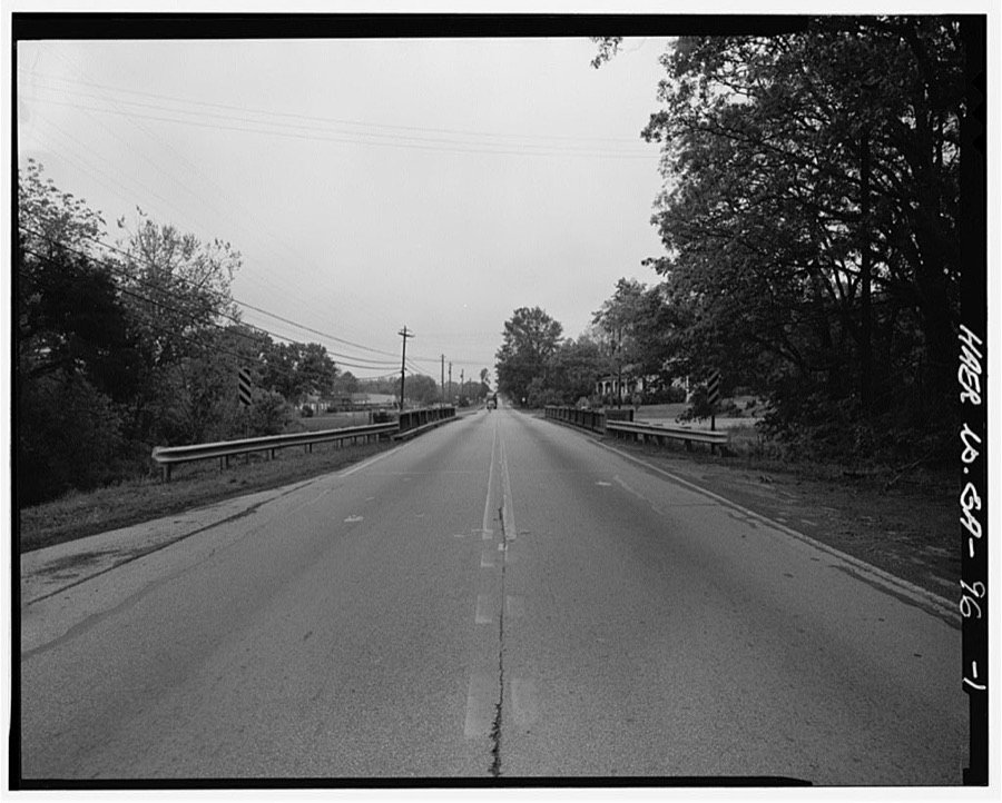
Every property in this county listed on the National Register of Historic Places, with the year it was listed and the federal nomination document.
| Photograph | Property | Type | Listed | Reference |
|---|---|---|---|---|
 | Cedartown Commercial Historic District | district | 1992 | 92001715 |
 | Cedartown Waterworks-Woman's Building-Big Spring Park Historic District | district | 2000 | 00001475 |
| Euharlee Elementary School | building | 2026 | 100012652 | |
 | Hawkes Children's Library | building | 1980 | 80001223 |
| Northwest Cedartown Historic District | district | 2008 | 08000354 | |
| Rockmart Downtown Historic District | district | 2009 | 09000458 | |
 | Rockmart Woman's Club | building | 1995 | 95000738 |
| South Philpot Street Historic District | district | 2011 | 11000776 | |
| St. James' Episcopal Church | building | 2019 | 100004293 |
Selected from the Digital Public Library of America's 1 image records catalogued for this county. Every one shown here carries a public-domain status or a licence that permits reuse on a site that carries advertising; non-commercial, share-alike and restricted images are excluded. The selection is spread across the county's towns (at most eight per town), so no single institution's bulk upload crowds out the rest. Each opens the holding library's record, and the complete set at the Digital Public Library of America is one click away.

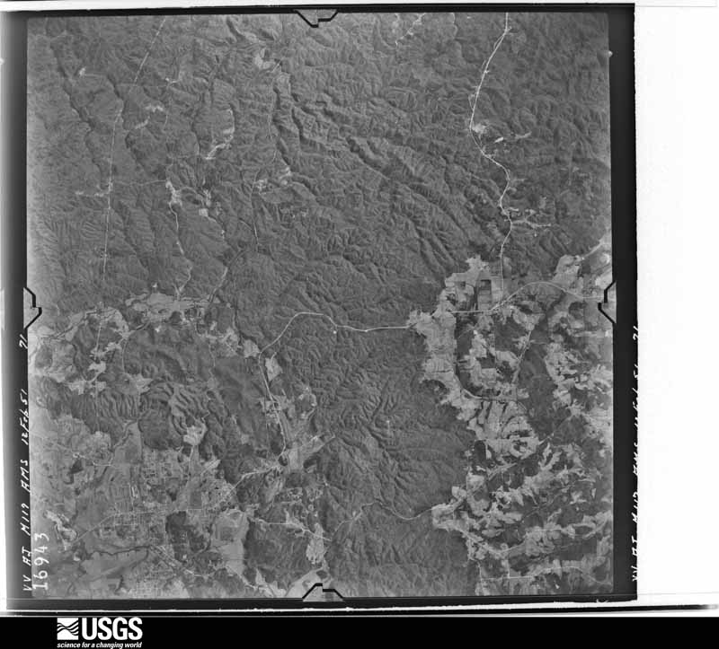
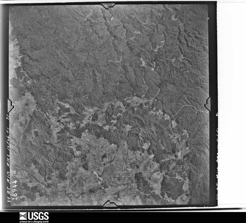
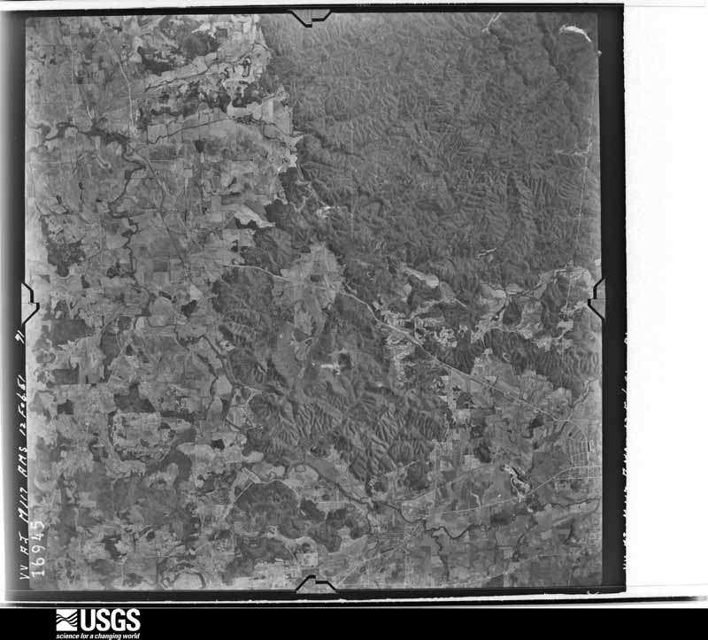
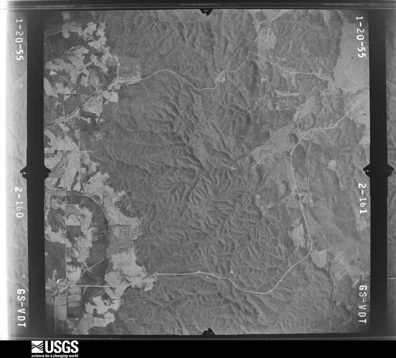
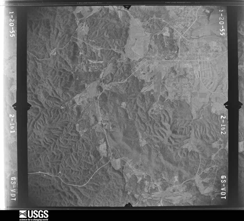
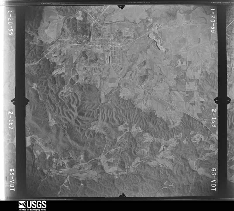
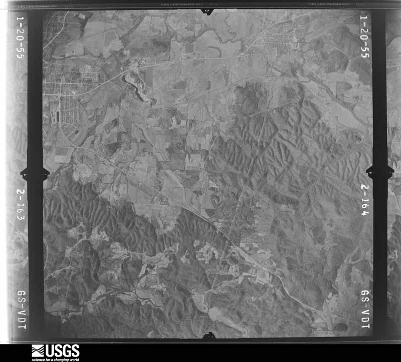
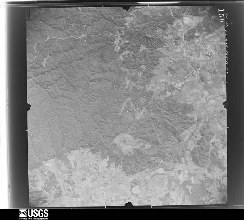
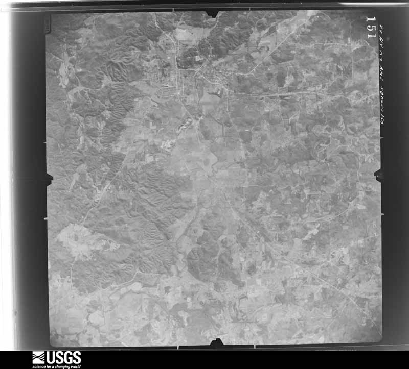
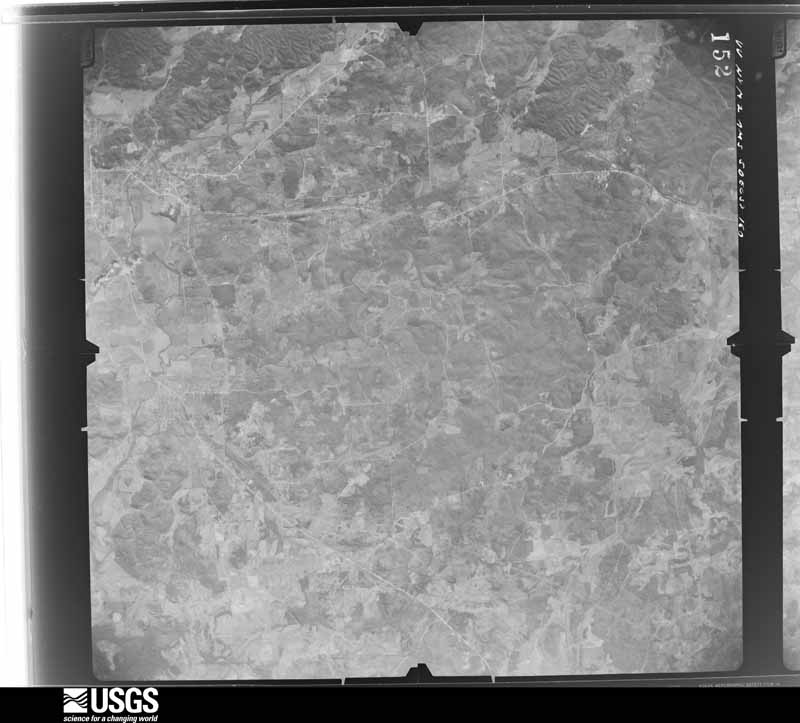
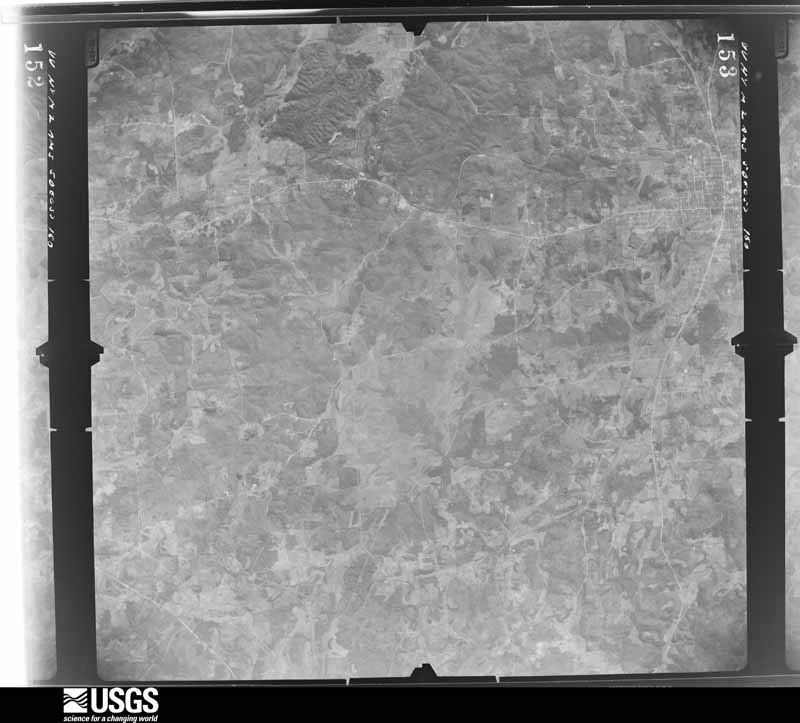
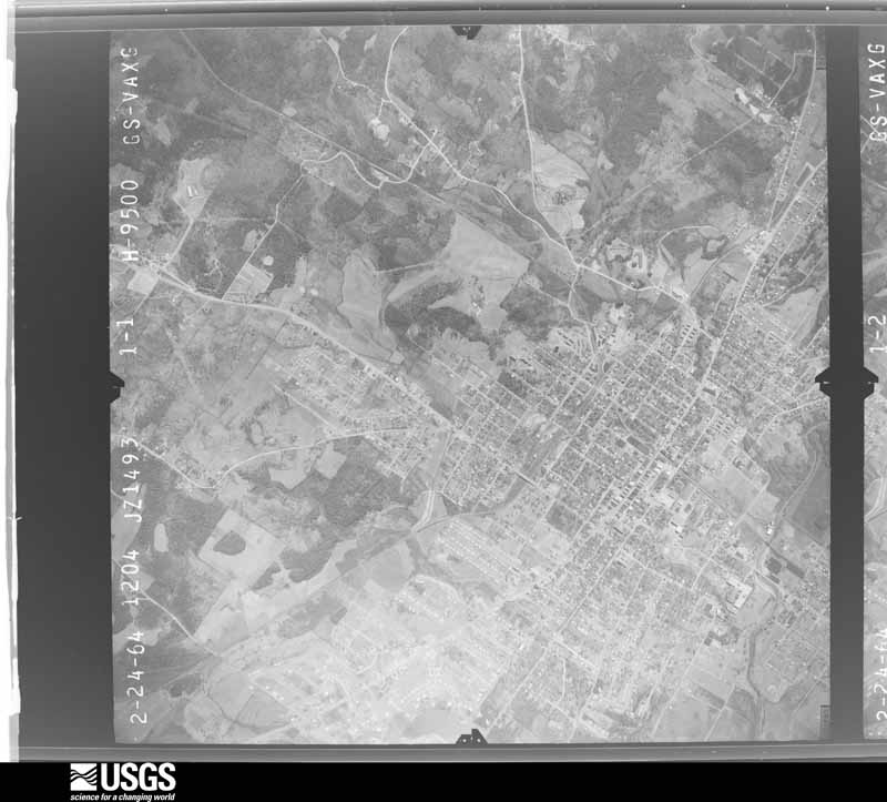
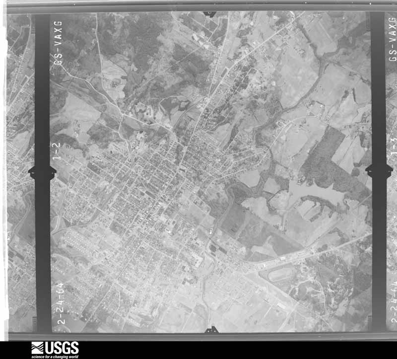
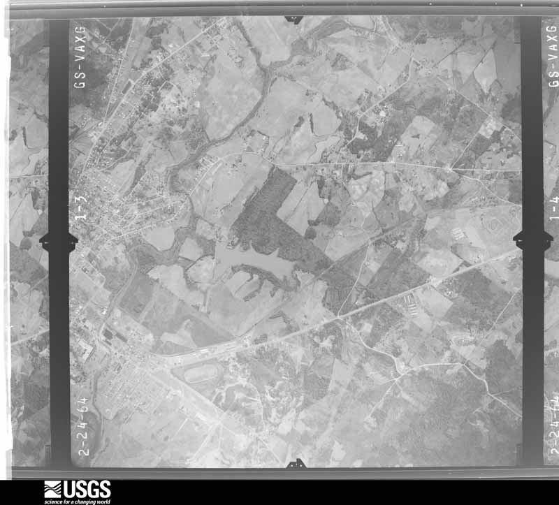
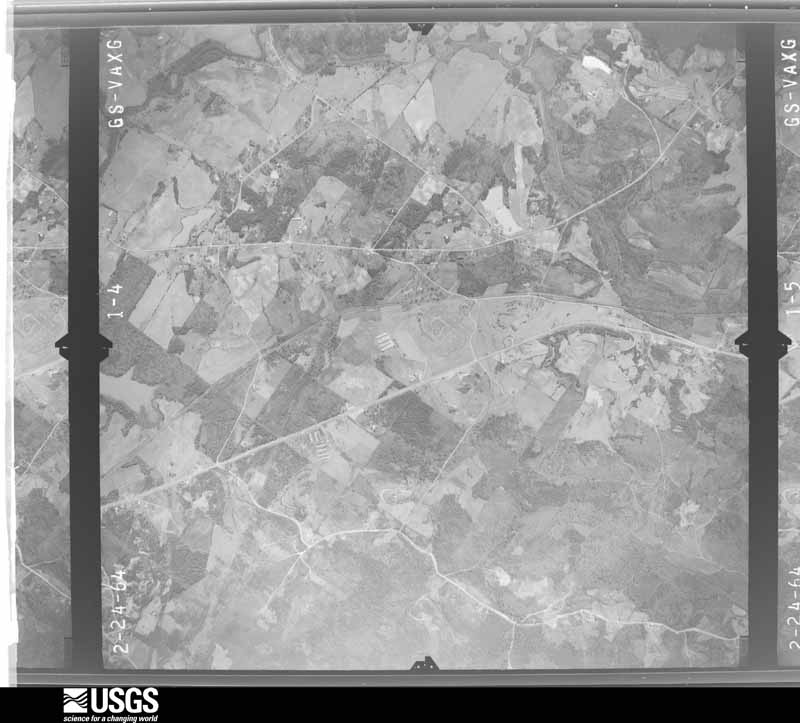
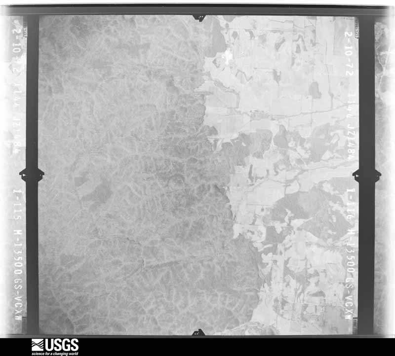
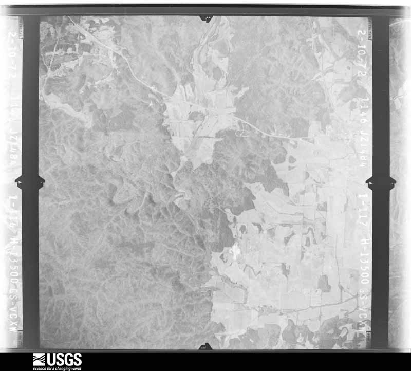
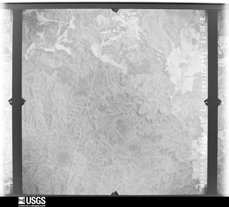
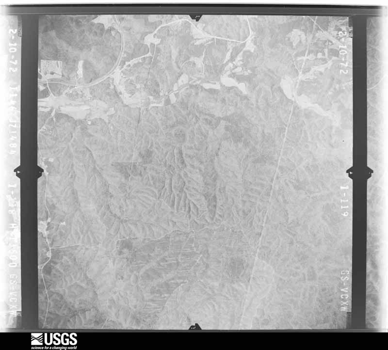
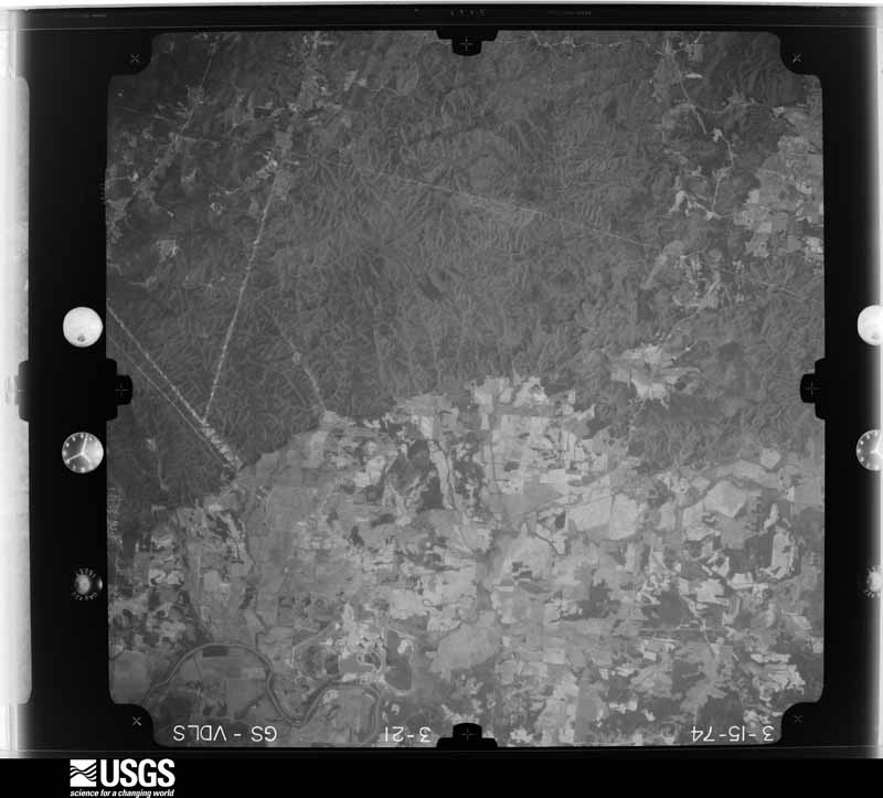
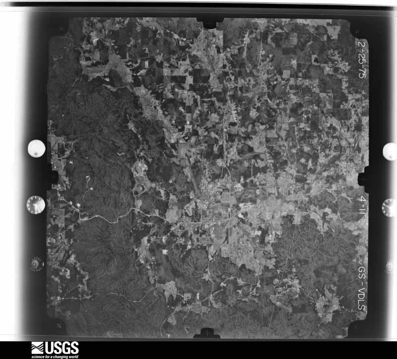
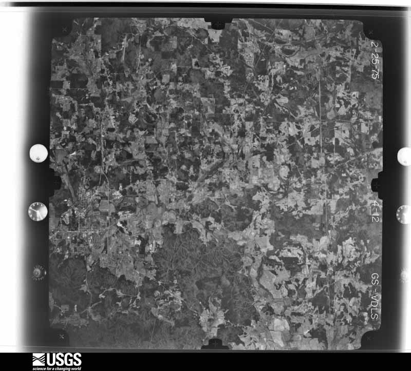
Flown by the U.S. Geological Survey between 1937 and 1989, the Aerial Photo Single Frames collection is the definitive mid-century view of the land: fields, roads and rivers as the camera saw them. The Survey holds 684 frames inside the rectangle that bounds this county; the 33 frames below were taken over the county itself, chosen across the decades of flights (at most four a year from that rectangle), so one flight cannot crowd out the rest. The full set is free to browse and download at EarthExplorer under the dataset Aerial Photo Single Frames.











The thermometers that kept this county's weather, and the gages that measured the flow of its streams, as the federal records hold them. The extremes below are measured values from those records, not estimates.
Who lived here in 1950, one enumeration district at a time, as the Census Bureau described each district. Each row opens its official National Archives result, with Population Schedules and ED Maps available there.
Every wildfire the federal occurrence database records inside this county: 2,231 of them, burning about 13,900 acres. 38 started naturally and 1,359 were recorded as arson. Each settlement page carries the fires within five miles of it.
| Reported cause | Fires |
|---|---|
| Arson/incendiarism | 1359 |
| Debris and open burning | 608 |
| Missing data/not specified/undetermined | 67 |
| Equipment and vehicle use | 60 |
| Natural | 38 |
| Misuse of fire by a minor | 34 |
| Recreation and ceremony | 31 |
| Railroad operations and maintenance | 23 |
| Smoking | 11 |
The five largest, by the area the report gives. 6 of them were set deliberately.
| Date | Cause | Size | Reported by | Name on the report |
|---|---|---|---|---|
| 18 July 2000 | Arson/incendiarism | 690 acres | Georgia Forestry Commission | FY2001-POLK-010 |
| 14 February 2015 | Debris and open burning | 234 acres | Georgia Forestry Commission | FY2015-POLK-019 |
| 8 August 1999 | Arson/incendiarism | 205 acres | Georgia Forestry Commission | not named |
| 19 November 2016 | Arson/incendiarism | 165 acres | Georgia Forestry Commission | FY2017-POLK-053 |
| 5 July 2012 | Arson/incendiarism | 151 acres | Georgia Forestry Commission | FY2013-POLK-007 |
| 18 August 2007 | Natural | 145 acres | Georgia Forestry Commission | BEN HUDSON FIRE |
| 24 March 2000 | Arson/incendiarism | 140 acres | Georgia Forestry Commission | FY2000-POLK-149 |
| 12 March 1997 | Arson/incendiarism | 124 acres | Georgia Forestry Commission | not named |
Every settlement page carries the fires within five miles of it - see the settlement index below.
The NOAA Storm Events Database holds 329 reports for this county, causing 3 deaths, 50 injuries and about $27,453,200 in recorded property damage. Each settlement page carries the reports that name it.
| Kind of event | Reports |
|---|---|
| Thunderstorm Wind | 180 |
| Hail | 91 |
| Flash Flood | 25 |
| Lightning | 12 |
| Tornado | 11 |
| Flood | 5 |
| Funnel Cloud | 3 |
| Heavy Rain | 2 |
The most serious of them, by death, then injury, then recorded damage. The accounts are quoted exactly as the forecast office filed them.
| When | Event | Place named | Harm | What the report says |
|---|---|---|---|---|
| February 1993 | Tornado (F3) | Esom Hill to | 1 killed, 35 hurt, $5,000,000 | A tornado touched down near Esom Hill in extreme southwest Polk County near the Alabama/Georgia border. The tornado traveled 9 miles and destroyed 500 homes, 40 businesses, and 14 churches, mobile homes, and downed trees. Damage path was approximately 0.5 mile wide. Nearly the entire town of Cedartown was without power due to downed power lines which included 15,000 homes and businesses. Most industries in the Cedartown Industrial Park were damaged by the tornado including HON Industries which had the back half of its office furniture manufacturing plant blown off by the storm. The tornado also damaged the Star Manufacturing building, Zartic Inc. frozen food processing plant, Rome Plow County plant, Coca Cola distribution warehouse, Arrow Shirt Factory, and Cedar Valley Container Corp. A fatality occurred when the tornado lifted and destroyed a mobile home, killing its occupant. (M31M) |
| March 2008 | Tornado (EF3) | Seney | 1 killed, 1 hurt, $3,500,000 | A ground and aerial survey conducted by the National Weather Service Forecast Office in Peachtree City, GA in cooperation with the Georgia State Patrol and local emergency managers confirmed that an EF3 tornado had touched down in extreme north central Polk county, just east of the town of Seney near the intersection of Georgia Highway 101 and the Floyd county line. The tornado then tracked approximately 16 miles across extreme northeast Polk, extreme southeast Floyd, and into southern Bartow county before lifting southwest of Cartersville. The tornado had a maximum path width of 1/2 mile with maximum wind speeds estimated at 150 mph. EF3 damage was noted at three locations along the path of the tornado as it tracked across the three counties. The tornado made an approximate 3-mile track across far northern Polk county.||Within Polk county, four homes were destroyed, two sustained major damage, five had minor damage, and 5 others were minimally impacted. All of these were in the far north central and northeast part of the county between Georgia Highway 101 and the Floyd county line where Bon Loop Road intersects the Floyd county line. One fatality and one injury occurred on Bon Loop Road where a home was destroyed. In addition, several county outbuildings, barns, shops, vehicles, one motor home, one travel trailer, one dog kennel business, several fences were heavily damaged. Several livestock were either injured or killed. Hundreds of trees and power lines were down in the area, including several high tension power lines support structures, which were heavily damaged. |
| March 2013 | Thunderstorm Wind | Cedartown | 1 killed, 1 hurt, $15,000 | The Polk County 911 Center relayed numerous reports of trees blown down or snapped with multiple power outages in the Cedartown area. One tree fell on a car, injuring both occupants, one fatally. |
| April 2000 | Tornado (F2) | Esom Hill | 6 hurt, $1,000,000 | Survey of damage by NWS personnel indicated that an F1 - F2 tornado, 50 - 100 yards wide, touched down in the Potash community at approximately 2:00 am EDT near Harmony Road. The tornado traveled approximately 6 miles with the terminating point just southwest of Cedartown. The tornado snapped off and uprooted several trees at its touchdown point on Harmony Road and caused a poultry house to lean as well as blowing off some of its tin roof. Next, a house on Blair Road was severely damaged and numerous trees were felled. Further downstream, several mobile homes and numerous trees were hit on Branch Road, Cornelius Road, and Highway 278 between Cornelius Road and Berry Road. The most severe damage was on Berry Road where two mobile homes were totally destroyed and 3 people seriously injured. The Polk county EMA director reported that a total a 6 people were injured, 2 seriously, and a total of 20 homes were destroyed or damaged. In addition, a roof was blown off a fruit/vegetable stand on Highway 27 south of Cedartown, but this did not appear to be related to the tornado. In excess of 1 million dollars damage was caused by the tornado. |
| April 2006 | Tornado (F2) | Rockmart | 1 hurt, $450,000 | A survey conducted by the National Weather Service in Peachtree City, GA concluded that a second tornado, this one an F2, touched down one mile northwest of Rockmart and traveled to the east approximately three miles, terminating at a point around two miles east-northeast of Rockmart. Over two dozen homes along the path of the tornado were destroyed. A young child was injured at one of the damaged homes when sheet rock and rafters fell on the couch where he was sleeping. Over three dozen outbuildings were also heavily damaged or destroyed. A carport was blown off one home northwest of Rockmart and five coal cars were completely blown off a railroad track in the Rockmart area and left lying on their side, while an 18-wheel truck trailer was also blown over in the same general area. Finally, minor damage was reported to the roof of the Rockmart Highschool and especially to the athletic fields. Hundreds of trees and dozens of power lines were blown down along the path of the tornado. A total of 700 residents were left without power for many hours following the storm. The tornado was determined to have a path length of approximately 3.0 miles with a path width of 50 to 100 yards.Overall tornado damage from the two tornadoes in Polk county netted:30 homes with minor damage.2 homes destroyed.60 outbuildings heavily damaged or destroyed.Minor damage to the Rockmart Highschool and athletic facility.700 customers without power.Extensive loss to timber in the area |
| April 2006 | Tornado (F0) | Cedartown | 1 hurt, $350,000 | A survey conducted by the National Weather Service Forecast Office in Peachtree City, GA, concluded that an F0 tornado had touched down four miles south of Cedartown and tracked southeast to a point five miles southeast of Cedartown. About a dozen homes were damaged along the path of the tornado, mostly from downed trees. A female at a doublewide mobile home south of Cedartown suffered a broken hand when a tree fell through the home. Several power lines were also down in the area. In addition, several outbuildings were damaged, including a greenhouse, and porches were blown off two homes five miles southeast of Cedartown. Much of the damage occurred in the vicinity of Young Farms Road, Aragon Road, and between Georgia Highway 100 and Antioch Road. This tornado was rated an F0 with an approximate path length of 5.0 miles and a path width of 50 to 100 yards. |
| July 2004 | Lightning | Fish Creek | 1 hurt, $50,000 | A storm spotter reported that an 18-year old male was struck and injured by lightning while standing by a tree. In addition, two homes in the same general area were struck by lightning. |
| August 2014 | Thunderstorm Wind | Rockmart | 1 hurt, $10,000 | The 911 Center reported numerous trees down in the eastern part of the county, especially near Rockmart. The Emergency Manager reported a tree down on a house. The occupant of the house suffered a head injury and was transported to the hospital. Another house had its roof partially blown off. A subdivision on Lakeview Drive had numerous trees and power lines down. |
| June 1994 | Tornado (F0) | Rockmart | 1 hurt, $500 | A weak and short-lived tornado touched down along U.S. Highway 278 three miles west of Rockmart. A few pine trees were uprooted or snapped half-way up from the crown. The one injury resulted from wind blown debris. |
| July 2005 | Lightning | Rockmart | 1 hurt | The Cedartown Standard reported that a 13-year old boy was injured when lightning struck at his father's home while he was typing on a computer. The boy was treated and released at a local hospital. |
| June 2005 | Lightning | Cedartown | 1 hurt | A 16-year old boy was injured when lightning struck the house while he opened the refrigerator in his home. Lightning apparently entered through the kitchen window and struck the boy in the leg. He was treated and released from the Floyd Medical Center in Rome. |
| April 2011 | Tornado (EF2) | Hematite | $7,000,000 | A damage survey conducted by the National Weather Service Forecast Office in Peachtree City, Georgia confirmed that the fifth tornado of the major tornado outbreak of April 27th and 28th once again entered Georgia from Alabama and affected Polk, Floyd, and Bartow counties in Georgia. This tornado was an EF2 and entered Polk county from Cherokee county Alabama. It was a long-lived well tracked supercell and was likely the same supercell which spawned the EF5 tornado that destroyed Tuscaloosa, Alabama. The tornado only tracked across a small portion of extreme northwest Polk county before moving into south west Floyd county, just south of Cave Spring. The total tornado path length was 26 miles, but the tornado was only on the ground in Polk county for a little over four miles. The path width of the tornado was determined to be 1/2 mile with maximum winds of 125 mph. Within Polk county, the majority of the damage was to a chicken farm, where at least eight chicken houses were completely destroyed, including all of the contents and poultry. However, nearly two dozens structures were destroyed with several dozen more suffering minor to moderate damage. There were no fatalities or injuries within Polk county.||Total damages in Polk county from this tornado consist of 23 destroyed homes and/or businesses, 34 with major damage, and 49 with minor damage for a total of 106 affected structures.||[04/27-04/28/11: Tornado #5, County #1-3, EF2, Polk-Floyd-Bartow, 2011:014]. |
| April 2019 | Flash Flood | Cedartown | $5,000,000 | Polk County Police Department posted video footage to social media of flash flooding over a roadway at the entrance to Cedartown High School. The flooding resulted from two to three inches of rain that quickly fell over the area, overwhelming a small creek and drainage systems in the area. Water also inundated some ball fields on the campus. |
| April 2013 | Hail | Van Wert | $1,206,000 | Amateur radio operators and the public reported baseball sized hail across the Rockmart area. |
| April 2019 | Hail | Cedartown | $315,000 | The Polk County 911 center reported golf ball size hail on Johnson Lake Road near Highway 278. |
| June 2011 | Hail | Fish Creek | $311,000 | The Polk County 911 Center reported golf ball-sized hail near Rockmart. |
| May 2012 | Hail | Youngs | $307,000 | The Polk County 911 Center and the public reported that large hail fell southeast of Cedartown, generally between Cedartown and Felton along U.S. Highway 27. The hail began as quarter size, lasting for several minutes, increasing to golf ball size before it ended. |
| April 2011 | Thunderstorm Wind | Cedartown | $300,000 | The Polk County 911 Center reported that dozens of trees and power lines were down from south of Cedartown in the central part of the county to the northwest part of the county along the Floyd county line near Cave Spring. Several homes sustained minor to moderate damage near and especially just south of Cedartown. WSR-88D SRM velocity data suggests that a tornado occurred in this area, but no evidence was found of such during subsequent damage surveys. The strong tornadic-indicative circulation continued northeast across much of Bartow county. |
| March 2021 | Thunderstorm Wind | Fish | $250,000 | A National Weather Service survey determined that a downburst with maximum wind speeds of 105 MPH struck the southern and eastern side of Cedartown. The path was around 3 to 3.5 miles long and about 1 to 1.5 miles wide. The center of the downburst was located in a heavily wooded area east of Main Street and south of Highway 278. Numerous downed trees south of Highway 27 along Tuck Street were snapped or blown down facing south, away from the center of the downburst area. Numerous trees were snapped or uprooted along East Point Road north of Highway 278 facing north or northwest, away from the center of the downburst. The strong winds continued in the area east and southeast of Highway 27, snapping and uprooting trees along Lees Chapel Road, Friendly Baptist Road and Coaling Road in a east to northeast direction. Numerous homes in the area sustained structural damage to their roofs, mainly due to downed trees or shingle damage from the strong winds. |
| June 2008 | Lightning | Cedartown | $250,000 | The Polk County 911 Center reported that several structural fires were set in the county by lightning. Radar shows that the strongest reflectivity affected the western half of the county. Exact damage amounts were not able to be determined. |
| April 1978 | Tornado (F2) | not stated | $250,000 | no account filed |
| April 2009 | Hail | Cedartown | $200,000 | Several reports of golf ball-sized hail were received from the Polk County Emergency Management Director from east of Cedartown to Rockmart, including Aragon. |
| February 2009 | Lightning | Rockmart | $150,000 | The Rockmart Journal reported that lightning struck an unoccupied historic Victorian structure located at 120 Catherine Street. The interior of the structure was damaged from the resulting fire. |
| January 2014 | Thunderstorm Wind | Cedartown | $110,000 | A National Weather Service Storm Survey determined that straight-line winds of 80 MPH struck the Floyd-Polk Medical Center in Cedartown. The winds lifted the vinyl awning off the hospital entrance and pulled some of the metal support beams from the concrete base. These metal support beams punctured the roof and allowed the rain to enter the building through the holes. This water caused damage to the interior of the structure. In addition, some of the debris hit cars parked near the building and damaged six vehicles. A small portion of the metal roof on a nearby building was peeled back. A few limbs were down near the medical center and two business signs nearby were damaged. |
| March 2021 | Thunderstorm Wind | Cedartown | $100,000 | A National Weather Service survey determined that a downburst with maximum wind speeds of 90 MPH struck the eastern side of Cedartown around the same time as the larger downburst on the south and east side of town. The path was around 1 to 1.5 miles long and about a half of a mile wide. This second, smaller downburst began to the west of Cedartown High School and north of East Avenue. Trees were uprooted facing east to northeast throughout the school property and several air conditioning systems were moved on the roof of the administration building. In addition, numerous trees were uprooted or snapped in the Northview Cemetery facing southeast away from the center of the downburst. |
| June 2005 | Lightning | Cedartown | $100,000 | The Cedartown Standard reported that lightning struck a home setting it on fire. The living room was totally destroyed and the rest of the home sustained smoke damage. |
| August 2021 | Flash Flood | Grady | $50,000 | The Emergency Manager reported vehicles were trapped in floodwaters in the parking lot of the Polk County Medical Center. Radar estimates indicate that 2 to 3 inches of rain occurred over the area, causing the flash flooding. |
| March 2008 | Thunderstorm Wind | Lake Creek | $50,000 | The Polk County Sheriff's Department reported that several trees had been blown down onto homes in the Lake Creek area of far northern Polk county. At that time it was reported to have been a possible tornado. A damage survey conducted by the National Weather Service Forecast Office in this area concluded that the damage was caused by a microburst and not a tornado. |
| August 2007 | Lightning | Rockmart | $50,000 | The Polk County Fire & Rescue Department reported that lightning struck and set on fire a home on Old Cedartown Road at Morgan Valley Road. One tree was also blown down three miles east-southeast of Rockmart along Springdale Road. |
| August 2005 | Tornado (F1) | Cedartown | $50,000 | A National Weather Service Damage Survey Team confirmed that an F1 tornado touched down approximately two miles east of Cedartown and traveled on a northwesterly track terminating at a point about two miles north of Cedartown. The damage path was 2.8 miles long and 50 yards wide. The most significant damage was to a Chevron gas station, which sustained a damaged portico, and several brick storage units, which were flattened. In addition, a large billboard on U.S. Highway 27 was bent to the ground by the tornadic winds. A number of trees and power lines were also blown down in a small area along the path of the tornado. Minor damage was also reported to a Wal Mart store on the east side of Cedartown and a power transformer apparently burned when a power line was blown down. |
| August 2021 | Flash Flood | Cedartown Arpt | $40,000 | The Emergency Manager reported high water near Collard Valley Road and Fish Creek Road that submerged vehicles. Radar estimates indicate that 2 to 3 inches of rain occurred over the area, causing the flash flooding. |
| May 2008 | Hail | Etna | $40,000 | The Polk County Emergency Management Director relayed a report of golf ball-sized hail from far western Polk county near the Alabama border and the town of Etna near Prior Station Road. |
| November 2004 | Thunderstorm Wind | Fish Creek | $35,000 | The Polk County 911 Center reported that at least 50 trees were down in the Rockmart area, with several more down to the west of Rockmart in the Fish and Fish Creek areas. At least three homes were damaged in the Fish Creek area from fallen trees. In Rockmart, one barn collapsed from the strong winds and several others were damaged. Several power lines were also down in the area. |
| August 2021 | Flash Flood | Cedartown Arpt | $30,000 | The Emergency Manager reported a pond dam failed, washing out Richard Pullen Road. Radar estimates indicate that 2 to 3 inches of rain occurred over the area, causing the flash flooding. |
| July 2018 | Flash Flood | Fish | $30,000 | Polk County Emergency Management reported road closures across Cedartown due to flash flooding. Several yards experienced extreme erosion, and at least two cars were submerged to their windows in flood waters. Flooded roadways included, but were not limited to, Columbia Avenue between College Street and Essex Street, North Cave Spring Street between Jule Peek Ave and John Hand Road, Sixth Street at Girard, East John Hand near the railroad tracks, Furnace Street, East Queen Street, and Charles Street. Radar estimates indicate rainfall amounts of 4 to 5 inches occurred over a large portion of central and western Polk County. |
| June 2016 | Thunderstorm Wind | Cedartown | $30,000 | The broadcast media, Polk County 911 center and the public reported numerous trees blown down from around Highway 27 and Davis Road to Pine Pitch Road and Burkhalter Roads and the Meadow Lakes Golf Course. The corrugated metal roof was partially blown off at the WalMart shopping center near the corner of Highway 27 and Davis Road. ||TREES DOWN ON BURKHALTER ROAD AND PINE PITCH ROAD. |
| July 2015 | Lightning | Ravenel | $30,000 | The Polk County Emergency Manager reported a house fire caused by lightning on Waddell Circle in Aragon. |
| May 2011 | Thunderstorm Wind | Esom Hill | $30,000 | The Polk County Fire and Rescue Department reported that many trees and several power lines were down across the county. Some of the worst damage was in the Rockmart area, where three homes sustained minor to moderate damage from downed trees. |
| January 2020 | Thunderstorm Wind | Cedartown | $25,000 | The local print media reported several trees blown down from the Cedartown area to Rockmart. A portion of the metal roof was peeled off of a motel in Cedartown. |
| March 2003 | Flash Flood | Cedartown | $25,000 | The Polk county Emergency Management Director and the county fire chief reported that a trailer park along Georgia Highway 27 at Georgia Avenue in Cedartown was flooded as a result of Big Cedar Creek. The creek overflowed its banks and crested over one foot above flood stage. Water from one to two feet deep was reported in some of the homes in the trailer park. Consequently, several people had to be evacuated from their homes. Rainfall of 3 inches or more was common throughout the area in a 3 to 4 hour period during the morning. |
| February 2001 | Thunderstorm Wind | Countywide | $25,000 | The Polk county Emergency Management Director reported that numerous trees were blown down on power lines and phone lines throughout the county. |
| February 2001 | Lightning | Rockmart | $25,000 | The Polk county Emergency Management Directory reported that lightning set a house on fire. The specific amount of damage was unknown. |
| July 2000 | Thunderstorm Wind | Countywide | $25,000 | The Polk county 911 center and the Rome News Tribune reported trees and power lines down countywide. |
| August 2000 | Thunderstorm Wind | Cedartown | $25,000 | The Rome News Tribune reported numerous trees and up to eight power lines down. One of the utility poles and some trees fell on a house at Herbert and Park streets. |
| December 1961 | Tornado (F1) | not stated | $25,000 | no account filed |
| August 2021 | Flash Flood | Caseyville | $20,000 | The Emergency Manager reported a road washed out near the intersection of Culp Lake Road and Johnson Lake Road. Radar estimates indicate that 2 to 3 inches of rain occurred over the area, causing the flash flooding. |
| August 2021 | Flash Flood | Cedartown Arpt | $20,000 | The Emergency Manager reported a culvert washed out on David Price Road. Radar estimates indicate that 2 to 3 inches of rain occurred over the area, causing the flash flooding. |
| August 2021 | Flash Flood | Grady | $20,000 | The Emergency Manager reported a washed out roadway at JLG Road and Hutto Road. Radar estimates indicate that 2 to 3 inches of rain occurred over the area, causing the flash flooding. |
| June 2014 | Thunderstorm Wind | Cedartown | $20,000 | The Polk County 911 Center reported that six trees were blown down, one on a house, in Cedartown. |
| February 1999 | Thunderstorm Wind | Cedartown | $20,000 | Polk county 911 reported several trees blown down. A tree was knocked onto a church on Antioch Road in Cedartown. A HAM radio operator reported many trees down on Davis Road near Rockmart. |
| June 1998 | Thunderstorm Wind | Aragon | $20,000 | Polk county 911 reported trees down on houses and cars and across roads. Power lines were also knocked down. |
| April 2013 | Tornado (EF0) | Don | $15,000 | A National Weather Service storm survey determined that a second brief tornado touched down associated with the same supercell thunderstorm as the Haralson County tornado. The tornado touched down near railroad tracks just south of Coots Lake Road where some trees were uprooted. From this point the tornado traveled to the north-northeast. The most damage occurred in a wooded area 0.3 miles north of where the tornado touched down. At this point approximately 50 trees were snapped and about 25 trees were uprooted. The tornado dissipated in an open area just short of a residence. Damage was confined to trees.|[04/11/13: Tornado #2, County #1-1, EF1, Polk, 2013:006]. |
| April 2011 | Thunderstorm Wind | Esom Hill | $15,000 | The Polk County 911 Center reported widespread damage to trees and power lines throughout the county. No structural damage was reported. |
| September 2009 | Flood | Seney | $15,000 | The USGS stream gage on Euharlee Creek near Rockmart indicated that minor flooding was occuurring. Some roads and adjacent property near the creek experienced flooding as a consequence for several hours. Monetary damage, mainly in the form of debris removal, was estimated at $15,000. |
| February 2008 | Thunderstorm Wind | Rockmart | $15,000 | The Polk County Emergency Management Director reported that a tree fell on a house on Maple Street. The house sustained moderate damage as a result. |
| June 2006 | Thunderstorm Wind | Prior | $15,000 | The Polk County Fire and Rescue Department reported that two trees fell on a home. |
| May 1996 | Thunderstorm Wind | Cedartown | $15,000 | no account filed |
| April 2016 | Hail | Cedartown | $12,000 | Trained spotters reported quarter size hail in Cedartown and just south of Cedartown. The spotter in Cedartown reported that the hail covered the ground and dented cars. |
| August 2023 | Thunderstorm Wind | Antioch | $10,000 | Emergency manager reported multiple trees downed along Everett Mountain Road at several locations. |
| June 2023 | Lightning | Grady | $10,000 | House fire along the 400 block of Knight Rd due to possible lightning strike. |
The Survey's mineral resources record lists 86 workings inside this county. 7 still produce and 79 are closed or unrecorded. Each settlement page carries the workings within five miles of it.
| Commodity | Workings |
|---|---|
| Iron | 40 |
| Manganese | 14 |
| Aluminum | 10 |
| Stone, Crushed/Broken | 5 |
| Clay | 4 |
| Nickel, Cobalt | 3 |
| Manganese, Cobalt | 2 |
| Arsenic, Lead, Molybdenum, Zinc | 1 |
| Nickel | 1 |
| Bloating Material | 1 |
| Stone | 1 |
| Sand and Gravel, Construction | 1 |
| Cobalt, Manganese | 1 |
| Iron, Manganese | 1 |
The least common of them first, because a county's hundredth gravel pit says nothing its first ten did not.
| Where | Site | Commodity | Status | Recorded |
|---|---|---|---|---|
| Alabama Company Property | Iron, Manganese | Past Producer | 1874, 1918 | |
| Mccollum Prospect Cave Spring | Cobalt, Manganese | Occurrence | ||
| Rockmart | Bloating Material | Producer | Sedimentary | |
| Rockmart Cement Mill | Stone | Producer | ||
| Shiloh Church Prospect | Arsenic, Lead, Molybdenum, Zinc, Nickel | Occurrence | 1970 | |
| Silica Quarry No. 2 | Sand and Gravel, Construction | Producer | ||
| Callahan Property Cave Spring | Manganese, Cobalt | Past Producer | ||
| Penland Hill | Manganese, Cobalt | Occurrence | ||
| Callahan | Manganese, Nickel, Cobalt | Unknown | Residual | |
| Mccollum | Manganese, Nickel, Cobalt | Unknown | Residual | |
| Penland Hill | Manganese, Nickel, Cobalt | Producer | Residual | |
| Ladd Lime and Stone Co Pits | Clay | Past Producer | ||
| Rockmart Shale Quarry | Clay | Producer | ||
| Rockmart Shale Quarry | Clay | Past Producer | ||
| Taylorsville Mine | Clay | Past Producer | ||
| Braswell Quarry | Stone, Crushed/Broken | Producer | ||
| Galite #1 | Stone, Crushed/Broken | Producer | ||
| Piedmont Portland Cement Co Quarry | Stone, Crushed/Broken | Past Producer | ||
| Rockmart Quarry | Stone, Crushed/Broken | Past Producer | ||
| Southern States Portland Cmnt Co Qy | Stone, Crushed/Broken | Past Producer | ||
| Broadaway Mine | Aluminum | Past Producer | ||
| Cave Spring Bauxite | Aluminum | Past Producer | Weathering Residual | |
| Drummond Prospect | Aluminum | Prospect | ||
| Fite Prospect | Aluminum | Prospect | ||
| Hampton Mines | Aluminum | Past Producer | ||
| Lot 1158 | Aluminum | Prospect | ||
| Lot 1230 | Aluminum | Prospect | ||
| Lot 56 | Aluminum | Prospect | ||
| Lot 973 | Aluminum | Prospect | ||
| Reese Mines | Aluminum | Past Producer | ||
| Ach Property | Manganese | Occurrence | 1908 | |
| Bader Property | Manganese | Occurrence | 1908 | |
| Campbell Property | Manganese | Past Producer | 1908 | |
| Carver Property | Manganese | Occurrence | 1908 | |
| Dempsey Property | Manganese | Occurrence | 1908 | |
| Hampton Property | Manganese | Occurrence | 1908 | |
| Hopper Property | Manganese | Occurrence | 1908 | |
| Sanders Property | Manganese | Occurrence | 1908 | |
| Scarbaugh Lot | Manganese | Occurrence | 1908 | |
| Shaw Property | Manganese | Occurrence | 1908 | |
| Southerlin Property | Manganese | Occurrence | 1908 | |
| Albea and York Mine | Iron | Past Producer | 1892 | |
| C.A.Wood Property | Iron | Past Producer | ||
| Cedartown Mine No. 2 | Iron | Past Producer | ||
| Cedartown Mine No.1 | Iron | Past Producer | ||
| Charlie Fite Mine No. 1 | Iron | Past Producer | ||
| Charlie Fite Mine No.2 | Iron | Past Producer | 1943 | |
| Clemmons Hill Mine | Iron | Past Producer | 1940 | |
| Deaton Ore Bank | Iron | Past Producer | Residual | |
| E H Alred Mine | Iron | Past Producer | ||
| Edward Graves Prospect | Iron | Occurrence | ||
| Esom Hill Area | Iron | Past Producer | Residual | |
| G M Leslie Mine | Iron | Past Producer | ||
| Grady Mine No. 2 | Iron | Past Producer | ||
| Grady Mine No.1 | Iron | Past Producer | 1879 | |
| Green Bank | Iron | Past Producer | Residual | |
| H.E.Lucas Property | Iron | Past Producer | 1915 | |
| Hematite Mine | Iron | Past Producer | ||
| Hightower Bank & James Young | Iron | Past Producer | Residual | |
| J D Waddell Mine | Iron | Past Producer | ||
| J F Hill Prospect | Iron | Occurrence | ||
| J K Davis Mine | Iron | Past Producer | ||
| John Purcell Mine | Iron | Past Producer | ||
| Lary Mine | Iron | Past Producer | ||
| Ledbetter Mine Et Al. | Iron | Past Producer | Residual | |
| Oredell Mine | Iron | Past Producer | 1876 | |
| Peek Mine | Iron | Past Producer | ||
| Red-Ore Bank | Iron | Past Producer | Residual | |
| Reed Mine | Iron | Past Producer | ||
| Reed Mine--Cedartown District | Iron | Past Producer | Residual | |
| S.K. Hoge Ore Bank | Iron | Past Producer | Residual | |
| Shiloh Church Property | Iron | Past Producer | ||
| Simpson Mine | Iron | Past Producer | Residual | |
| T H Randall Mine | Iron | Past Producer | ||
| T J Woodard Mine | Iron | Past Producer | ||
| The Georgia Loan & Trust Co. Mine | Iron | Past Producer | ||
| W.A. Camp & L. Clark Banks | Iron | Past Producer | Residual | |
| W.A.Camp & L.Clark Ore Bank-B | Iron | Past Producer | Residual | |
| Wood Mine--Cedartown District | Iron | Past Producer | Residual | |
| Woodstock Mine | Iron | Past Producer | ||
| Wray Mine | Iron | Past Producer | Residual | |
| Aragon Distr.-B | Past Producer | Residual | ||
| Aragon District-A | Past Producer | Residual | ||
| Fish Creek Distr.-A | Past Producer | Residual | ||
| Fish Creek Distr.-B | Past Producer | Residual | ||
| Fish Creek Distr.-C | Past Producer | Residual |
Named settlements recorded in the Geographic Names Information System, each with the topographic sheets covering it. Villages, hamlets and abandoned places alike. Each is shown with the nearest named watercourse or landform and the survey quadrangle it falls on. The 2 places that were also surveyed for fire insurance come first, with the number of atlases and photographs held for them.
Cedartown census division · 30125 · Cedartown West quadrangle
18 sheets, 1886 to 1981
Fire insurance: 10 atlases
Cedartown census division · 30125 · Near Potato Hill · Benedict quadrangle
14 sheets, 1889 to 1981
Aragon census division · 30104 · On Fish Creek · Rockmart North quadrangle
17 sheets, 1886 to 1981
Cedartown census division · 30125 · On Pumpkin Pile Creek · Benedict quadrangle
14 sheets, 1889 to 1981
Rockmart census division · 30153 · Rockmart North quadrangle
17 sheets, 1886 to 1981
No longer a settlement
Cedartown census division · 30125 · Cedartown East quadrangle
19 sheets, 1886 to 1981
No longer a settlement
Cedartown census division · 30125 · Near Casey Mountain · Benedict quadrangle
14 sheets, 1889 to 1981
Aragon census division · 30104 · Rockmart North quadrangle
17 sheets, 1886 to 1981
No longer a settlement
Aragon census division · 30153 · Near Signal Mountain · Taylorsville quadrangle
18 sheets, 1890 to 1981
No longer a settlement
Cedartown census division · 30125 · On Etna Mountain · Indian Mountain quadrangle
18 sheets, 1886 to 1981
Cedartown census division · 30125 · Near Etna Mountain · Indian Mountain quadrangle
18 sheets, 1886 to 1981
No longer a settlement
Cedartown census division · 30125 · Near Casey Mountain · Benedict quadrangle
14 sheets, 1889 to 1981
Cedartown census division · 30125 · Cedartown East quadrangle
19 sheets, 1886 to 1981
No longer a settlement
Cedartown census division · 30125 · Benedict quadrangle
14 sheets, 1889 to 1981
No longer a settlement
Aragon census division · 30104 · Rockmart North quadrangle
17 sheets, 1886 to 1981
No longer a settlement
Aragon census division · 30178 · Rockmart North quadrangle
17 sheets, 1886 to 1981
No longer a settlement
Cedartown census division · 30125 · Near Etna Mountain · Indian Mountain quadrangle
18 sheets, 1886 to 1981
Aragon census division · 30104 · Rockmart North quadrangle
17 sheets, 1886 to 1981
No longer a settlement
Rockmart census division · 30153 · On Fish Creek · Rockmart North quadrangle
17 sheets, 1886 to 1981
No longer a settlement
Rockmart census division · 30153 · Near Morgan Valley · Rockmart North quadrangle
17 sheets, 1886 to 1981
Cedartown census division · 30125 · On Treat Mountain · Benedict quadrangle
14 sheets, 1889 to 1981
No longer a settlement
Rockmart census division · 30153 · Near White Bottom · Rockmart South quadrangle
16 sheets, 1889 to 1981
Cedartown census division · 30125 · On Lime Branch · Benedict quadrangle
14 sheets, 1889 to 1981
No longer a settlement
Cedartown census division · 30113 · Near Dugdown Mountain · Felton quadrangle
16 sheets, 1889 to 1981
No longer a settlement
Cedartown census division · 30125 · On Little Cedar Creek · Felton quadrangle
16 sheets, 1889 to 1981
The vanished settlements of Polk County: the places named above that are no longer on the map.
18 topographic sheets and 10 fire insurance atlases, 1885 to 1945
0 topographic sheets and 2 fire insurance atlases, 1923 to 1945
The complete index, with nothing left out. Each of these is a separate record with its own page: a federal survey report, or the case file that argued a property on to the National Register. Both are public domain and reproduced word for word.
The vanished settlements of Polk County, the places these records name that are no longer on the map.