 Block
Forest Park, Georgia
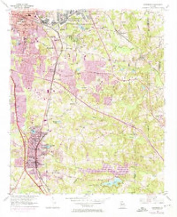
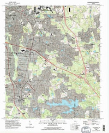
21 topographic sheets cover this place, the earliest surveyed in 1888 and the latest in 1993. It stands in the Forest Park-Morrow census division. It lies in ZIP code area 30297. The Survey maps it on the Jonesboro quadrangle. 19,932 people lived here at the 2020 count. It stands 988 feet above sea level.
Population over time
2 figuresForest Park grew from 18,468 to 19,932 between 2010 and 2020. These are the recorded population figures Wikidata holds for this place, reached through the Geographic Names Information System number this page is keyed on rather than by name, so they belong to this place and not to another of the same name. Most are census counts, but not all are: an early figure may be a founding or settlement estimate, and an estimate published within five years of a census is left out. The change column is computed, and is left blank where more than 20 years separate a figure from the one before it, because a gap that long is not a change between two counts.
| Year | People | Change |
|---|---|---|
| 2010 | 18,468 | |
| 2020 | 19,932 | +1,464 (+8%) |
Topographic sheets covering this place
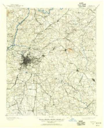
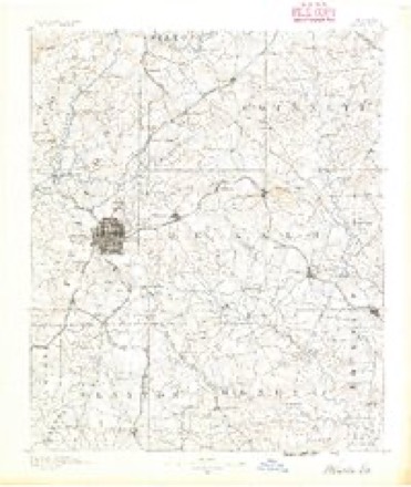
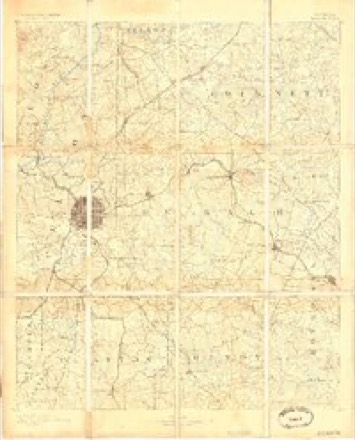
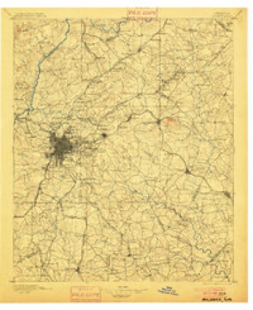
10 surveys from 21 printed sheetsMatched by testing this settlement's coordinate against the published boundary of every sheet in the United States Geological Survey's historical collection. Each opens the scanned sheet at the Survey.
- 1888 USGS Atlanta quadrangle1:125000
- 1890 USGS Atlanta quadrangle1:125000
- 1892 USGS Atlanta quadrangle1:125000
- 1895 USGS Atlanta quadrangle1:125000, 7 printings
- 1953 USGS Atlanta quadrangle1:250000, 2 printings
- 1954 USGS Jonesboro quadrangle1:24000, 5 printings
- 1957 USGS Atlanta quadrangle1:250000
- 1958 USGS Atlanta quadrangle1:250000
- 1981 USGS Atlanta quadrangle1:100000
- 1993 USGS Jonesboro quadrangle1:24000




Fires near this place
83 since 1992Regional context, not property-specific evidence. The federal wildfire occurrence database lists 83 fires within 5 miles of Forest Park between 1992 and 2016, burning about 240 acres in total. None started naturally. 32 were recorded as arson. Distance is straight-line from the map coordinates, so a fire counted here may appear on a neighbouring settlement's page as well.
| Reported cause | Fires |
|---|---|
| Arson/incendiarism | 32 |
| Misuse of fire by a minor | 19 |
| Debris and open burning | 14 |
| Missing data/not specified/undetermined | 6 |
| Smoking | 6 |
| Recreation and ceremony | 5 |
| Equipment and vehicle use | 1 |
The most recent of them, most recent first, with the day each was reported and the service that recorded it.
| Date | Cause | Size | Reported by | Name on the report |
|---|---|---|---|---|
| 7 September 2010 | Recreation and ceremony | 1.0 acres | Georgia Forestry Commission | FY2011-CLAYTON-002 |
| 6 September 2010 | Arson/incendiarism | 2.0 acres | Georgia Forestry Commission | FY2011-CLAYTON-001 |
| 22 September 1993 | Smoking | under an acre | Georgia Forestry Commission | not named |
| 17 August 1995 | Arson/incendiarism | under an acre | Georgia Forestry Commission | not named |
| 15 August 1999 | Misuse of fire by a minor | 10 acres | Georgia Forestry Commission | not named |
| 15 August 1995 | Misuse of fire by a minor | under an acre | Georgia Forestry Commission | not named |
| 1 August 1995 | Arson/incendiarism | under an acre | Georgia Forestry Commission | not named |
| 1 August 1993 | Arson/incendiarism | under an acre | Georgia Forestry Commission | not named |
Settlements close enough to share some of these fires:
Mines and quarries near this place
1 within 5 milesRegional context, not property-specific evidence. The federal mineral resources record lists 1 working within 5 miles of Forest Park: 1 producer. All of them still produce. What was taken out: Stone, Crushed/Broken. Distance is straight-line from the map coordinates, so a quarry counted here may appear on a neighbouring settlement's page as well.
| Where | Site | Commodity | Status | Recorded |
|---|---|---|---|---|
| Forest Park Quarry | Stone, Crushed/Broken | Producer |
Storms near this place
20 since 1998Regional context, not property-specific evidence. The National Weather Service names Forest Park in 20 storm reports between 1998 and 2025: 9 thunderstorm wind, 7 hail, 2 lightning, 1 tornado. The reports record 10 injuries. Each account below is quoted exactly as the forecast office filed it, from the NOAA Storm Events Database, and each date opens the federal record of that event.
| When | Event | Place named | Harm | What the report says |
|---|---|---|---|---|
| January 2001 | Tornado (F0) | Forest Park | 8 hurt, $2,500,000 | A damage survey, conducted by National Weather Service personnel from the Peachtree City, Georgia office, determined that an F0 tornado briefly touched down at the Forest Square Shopping Center on Georgia Highway 54, Jonesboro Road, near the southwest corner of Fort Gillem. This is about 3 miles southeast of Atlanta's Hartsfield International Airport. Six buildings sustained considerable damage, mainly to roofs, windows, and to exteriors. A pawnshop in the shopping center lost part of its roof and a Pizza Hut, immediately next door, lost all of its windows. Several other buildings in the area lost windows from flying debris. A nearby Pep Boys Auto Parts store lots a large portion of its roof and exterior awnings. The flying debris from the roof of the damaged buildings, particularly the Pep Boys store, caused damage to 15 to 20 cars parked nearby. Many of the cars had their rear windows shattered out and appeared as if they had been hit with a major hailstorm, although no hail was reported in the area. It is believed that rock pebbles from the roofs of the damaged buildings were largely responsible for this occurrence. The flying debris and glass caused injury to 8 people. The injuries were described as being mainly cuts and bruises, although one person suffered a broken arm. Power lines were also reported down in the same area. |
| February 2005 | Heavy Rain | Forest Park | 1 hurt, $50,000 | The News Daily of Jonesboro reported that heavy rain caused a partial roof collapse at the SP Recycling Corporation. The weight of the rain water that collected on the roof caused one of the building support columns to collapse. A female night shift worker suffered injuries to her leg during the roof collapse. |
| January 2001 | Lightning | Forest Park | 1 hurt | The Clayton county Emergency Management Director reported that a person was struck by lightning. The injured person was treated and released at a local hospital. |
| April 2021 | Thunderstorm Wind | Forest Park | $50,000 | The Clayton County Emergency Manager and the general public reported numerous trees and power lines blown down from the Forest Park area to Morrow. |
| June 2000 | Lightning | Forest Park | $50,000 | A McDonough newspaper reported lightning struck the Heritage Bank's Forest Park branch, setting it on fire and destroying the top floor of the building. Three fire firefighters suffered heat and smoke trauma while fighting the fire. |
| June 2006 | Thunderstorm Wind | Forest Park | $7,000 | The Clayton County 911 Center reported that a couple of trees were blown down. One tree fell on and caused damage to a home while the other was down across a road. |
| April 2011 | Thunderstorm Wind | Forest Park | $5,000 | The Clayton County Emergency Management Director reported that several trees and power lines were down across the county, but mostly in the Jonesboro and northeast part of the county. |
| January 2007 | Thunderstorm Wind | Forest Park | $3,000 | The Clayton County 911 Center reported that several trees were blown down throughout the county. Trees were also down at the intersection of Elliot Road and Concle Road and Flint River Road and Glenwood Drive. Approximately 1000 residents, mostly in the Morrow area, were left without power during the storm. |
| August 2014 | Thunderstorm Wind | Forest Park | $1,500 | The Clayton County 911 Center reported several trees down in the northern portion of the county. |
| June 1999 | Thunderstorm Wind | Forest Park | $1,500 | Clayton county 911 reported pine trees blown down. One fell on a car. |
| July 2005 | Thunderstorm Wind | Forest Park | $750 | The Forest Park Police reported that two trees were blown down between Forrest Park and Morrow and the Clayton County 911 Center reported that one tree was blown down in Jonesboro. |
| July 1999 | Thunderstorm Wind | Forest Park | $200 | Clayton county 911 reported a few small trees down in Forest Park and Morrow. |
| June 2025 | Hail | Forest Park | - | Public reports quarter-sized hail in Forest Park. |
| August 2023 | Thunderstorm Wind | Forest Park | - | Multiple reports of tree down south of Forest Park. One tree on house, one tree on vehicle, and multiple trees taking down utility lines or in roads. |
| February 2009 | Hail | Forest Park | - | A police officer reported damage to his vehicle from hail. Hail size and location were estimated based on radar data since specific information was not provided. |
| July 2002 | Hail | Forest Park | - | Two reports of quarter size hail in Forest Park were received from FOX 5 TV of Atlanta, while numerous reports of hail, ranging in size from dimes to golf balls, were received from the public in Forest Park. FOX 5 TV also relayed a report of quarter size hail on Aviation Parkway on the south side of the Atlanta Hartsfield International Airport near the intersection of Georgia Highway 139 and Georgia Highway 314. In addition, nickel size hail was reported by the public at Riverdale. |
| May 1999 | Hail | Forest Park | - | The public reported quarter size hail. |
| May 1999 | Hail | Forest Park | - | The public reported ping pong ball size hail. |
| June 1999 | Hail | Forest Park | - | The public reported dime size hail. |
| April 1998 | Hail | Forest Park | - | no account filed |
Nearest settlements
The eight closest, with where each one stands in the county. Distances are straight-line, computed from the Geographic Names Information System coordinates.
| Map | Place | Distance | Sheets |
|---|---|---|---|
| Manor Ridge Park | 0.7 miles | 21 | |
| Woodland Park | 1.0 miles | 21 | |
| Mountain View Plaza | 1.1 miles | 21 | |
| Ridgewood | 1.1 miles | 21 | |
| Rock Spring | 1.2 miles | 21 | |
| Tara Heights | 1.4 miles | 21 | |
| Maxwelton | 1.5 miles | 23 | |
| Millrun | 1.6 miles | 21 |
Elsewhere
Matched on this settlement's Geographic Names Information System number rather than its name, so it cannot be a different place of the same name in another state.
| Wikipedia article on Forest Park | An encyclopaedic summary. Its text is share-alike, so it is linked here rather than copied. |
| Wikidata item Q3261685 | The structured record the population and elevation above come from. Public domain (CC0). |
Provenance
This settlement is recorded in the Geographic Names Information System as feature 331743. The sheet list is computed by point-in-boundary test against the United States Geological Survey's historical topographic inventory. Both are works of the United States government and carry no copyright under 17 U.S.C. 105.
Wildfire. Short, Karen C. 2022. Spatial wildfire occurrence data for the United States, 1992-2020 [FPA_FOD_20221014]. 6th Edition. Fort Collins, CO: Forest Service Research Data Archive. https://doi.org/10.2737/RDS-2013-0009.6 Collected with United States Government funding and usable without additional permissions or fees.
Mines and quarries. USGS Mineral Resources Data System (MRDS) https://mrdata.usgs.gov/mrds/ A work of the United States government, no copyright under 17 U.S.C. 105.
Storms. NOAA National Centers for Environmental Information, Storm Events Database https://www.ncei.noaa.gov/stormevents/ A work of the United States government, no copyright under 17 U.S.C. 105. Narratives are quoted verbatim from the National Weather Service report and are not edited or summarised.