 Block
From the record
4 National Register listings published here.
Sources: the National Register database, National Park Service
53 topographic sheets and 7 fire insurance atlases across 1 place.
4 National Register listings published here.
Sources: the National Register database, National Park Service
Every property in this county listed on the National Register of Historic Places, with the year it was listed and the federal nomination document.
| Photograph | Property | Type | Listed | Reference |
|---|---|---|---|---|
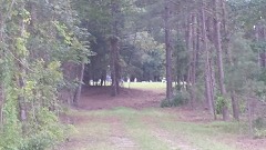 | Crawford-Dorsey House and Cemetery | building | 1984 | 84000972 |
| Jonesboro Historic District | district | 1972 | 72000381 | |
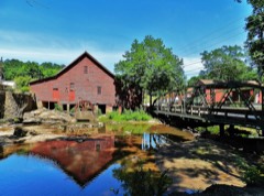 | Rex Mill | building | 1979 | 79000712 |
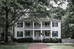 | Stately Oaks | building | 1972 | 72000382 |
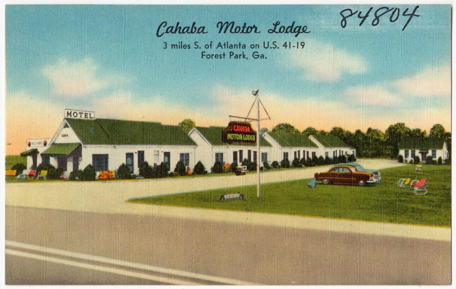
Selected from the Digital Public Library of America's 1 image records catalogued for this county. Every one shown here carries a public-domain status or a licence that permits reuse on a site that carries advertising; non-commercial, share-alike and restricted images are excluded. The selection is spread across the county's towns (at most eight per town), so no single institution's bulk upload crowds out the rest. Each opens the holding library's record, and the complete set at the Digital Public Library of America is one click away.
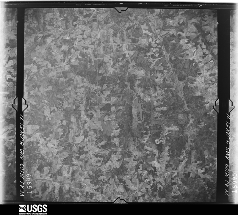
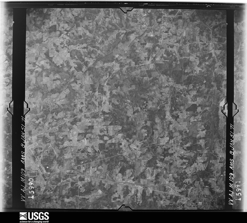
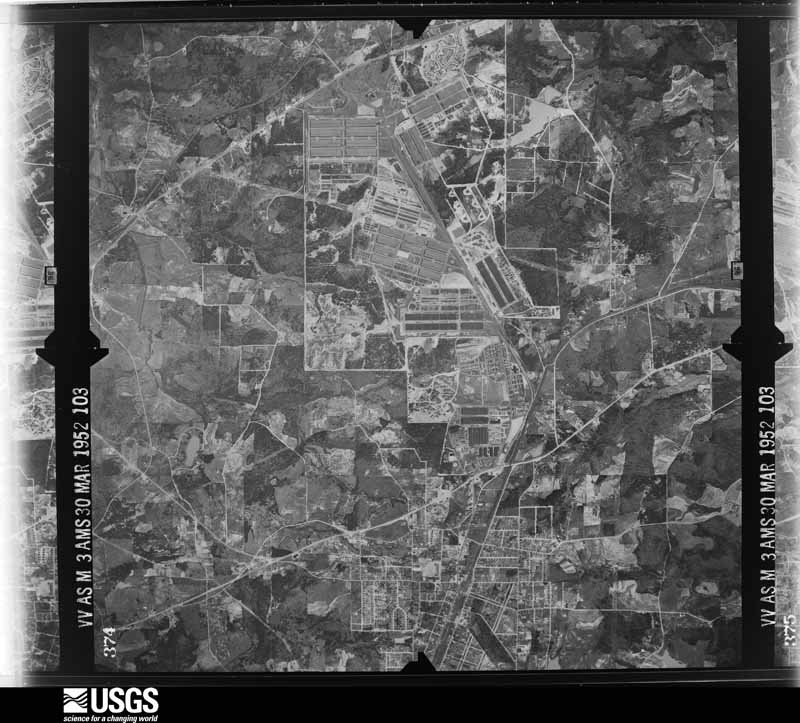
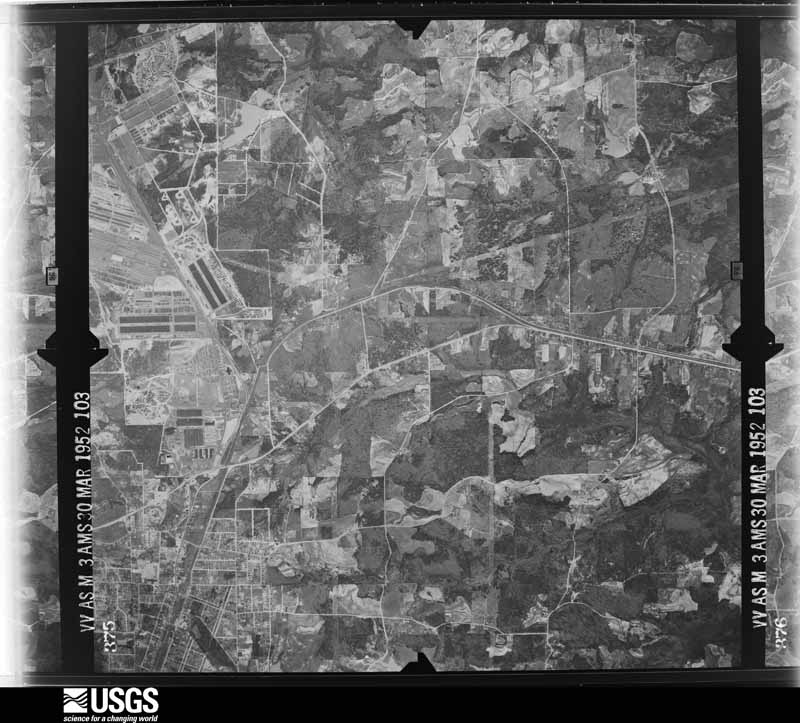
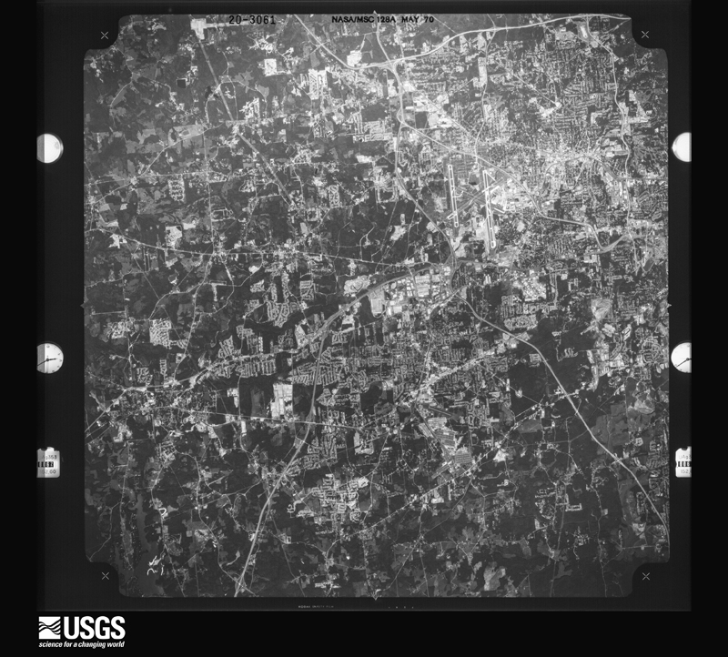
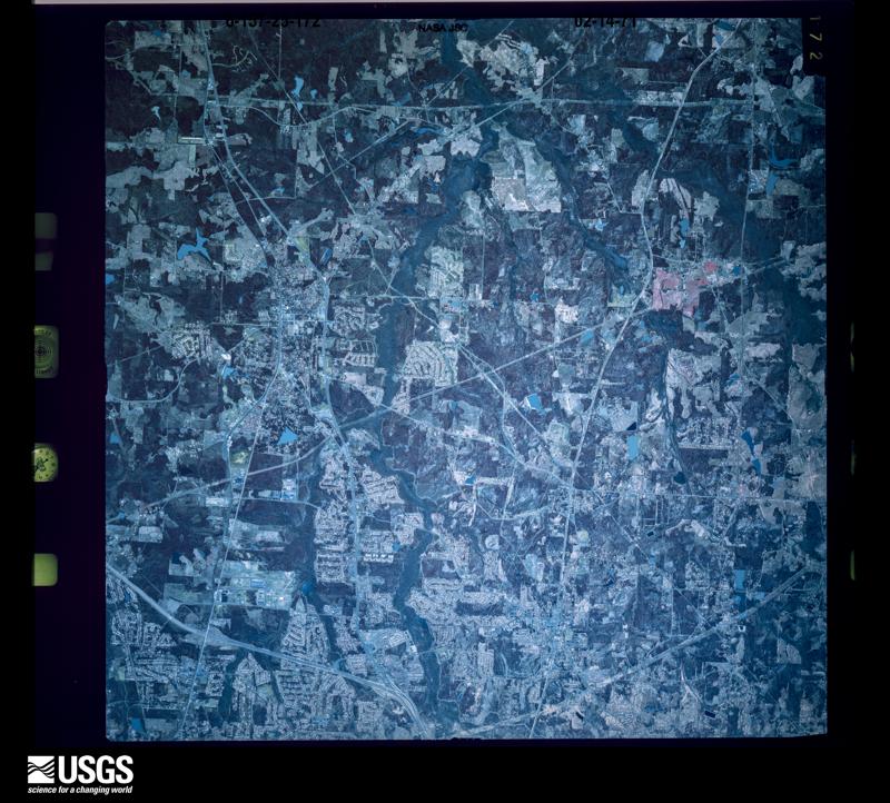
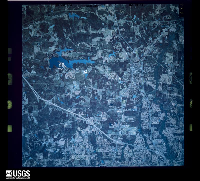
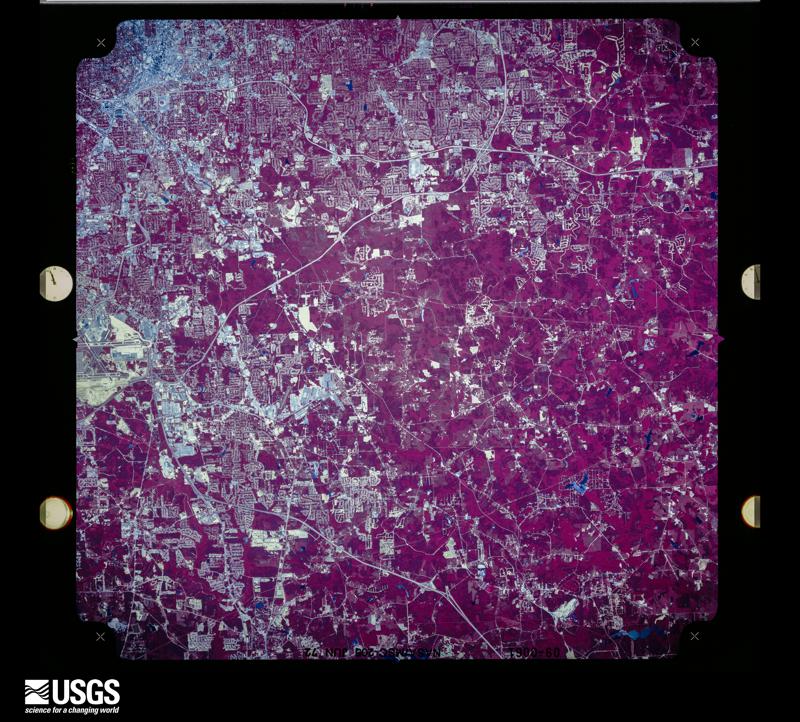
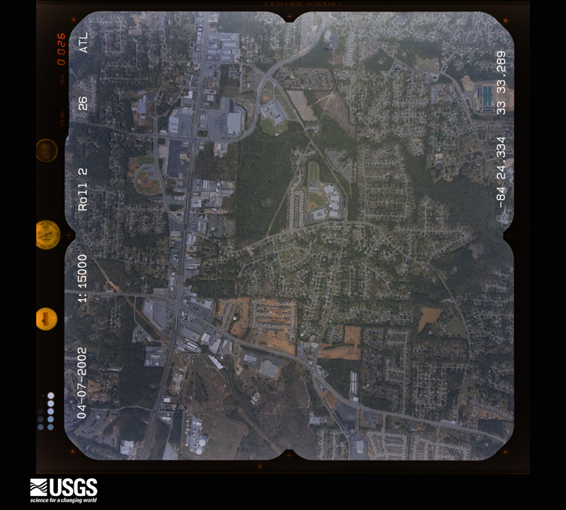
Flown by the U.S. Geological Survey between 1937 and 1989, the Aerial Photo Single Frames collection is the definitive mid-century view of the land: fields, roads and rivers as the camera saw them. The Survey holds 1,073 frames inside the rectangle that bounds this county; the 40 frames below were taken over the county itself, chosen across the decades of flights (at most four a year from that rectangle), so one flight cannot crowd out the rest. The full set is free to browse and download at EarthExplorer under the dataset Aerial Photo Single Frames.


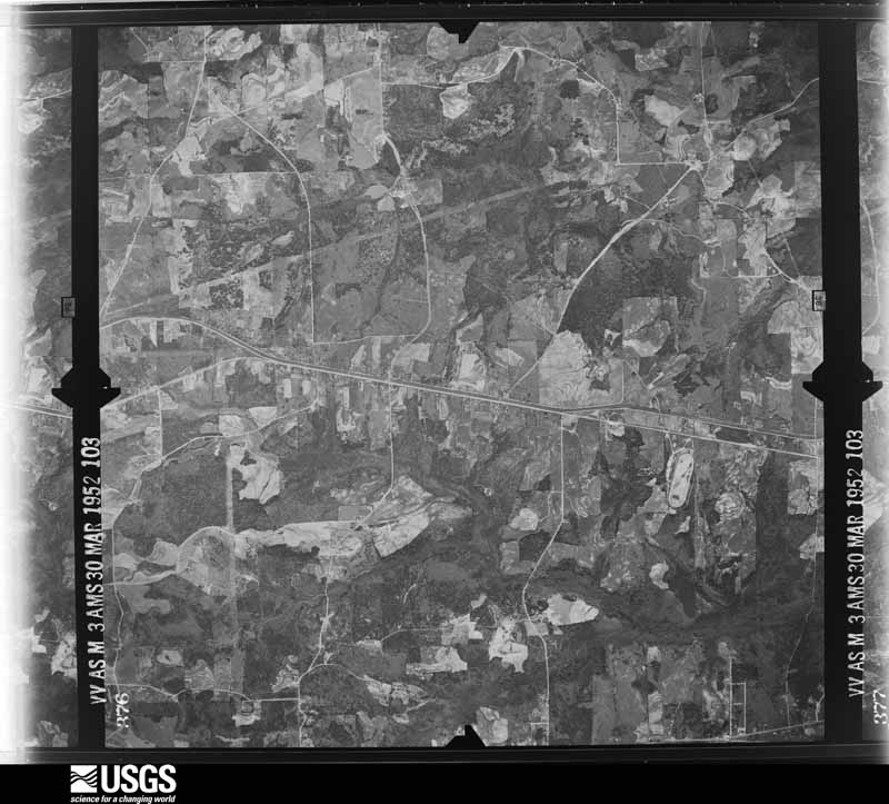
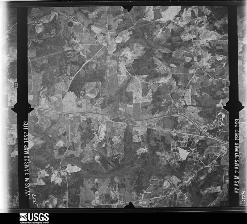
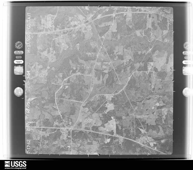
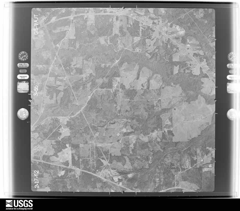
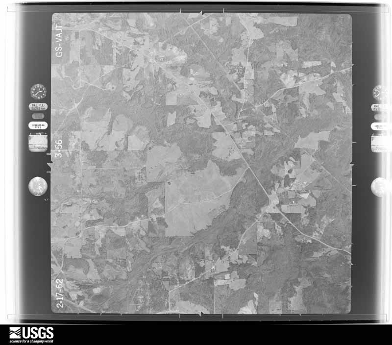
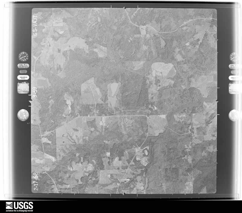
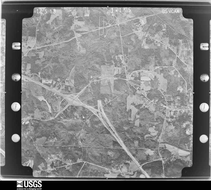
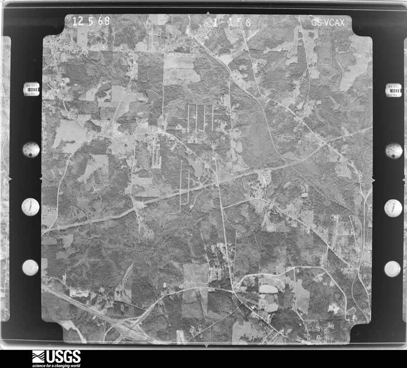
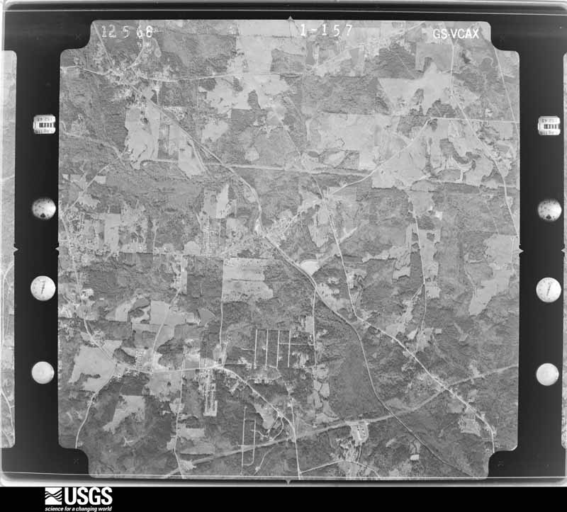
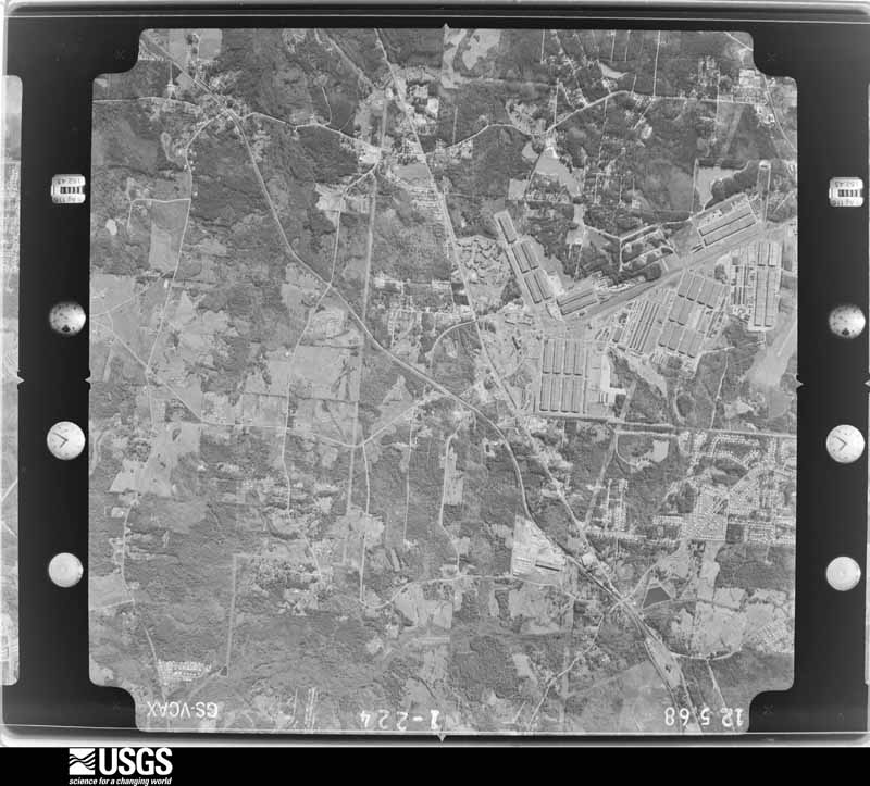
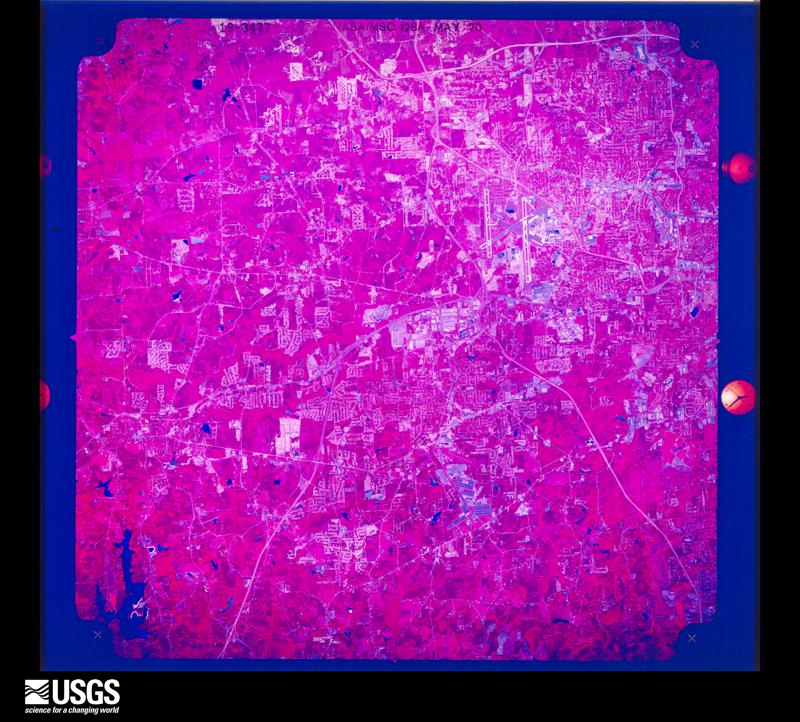

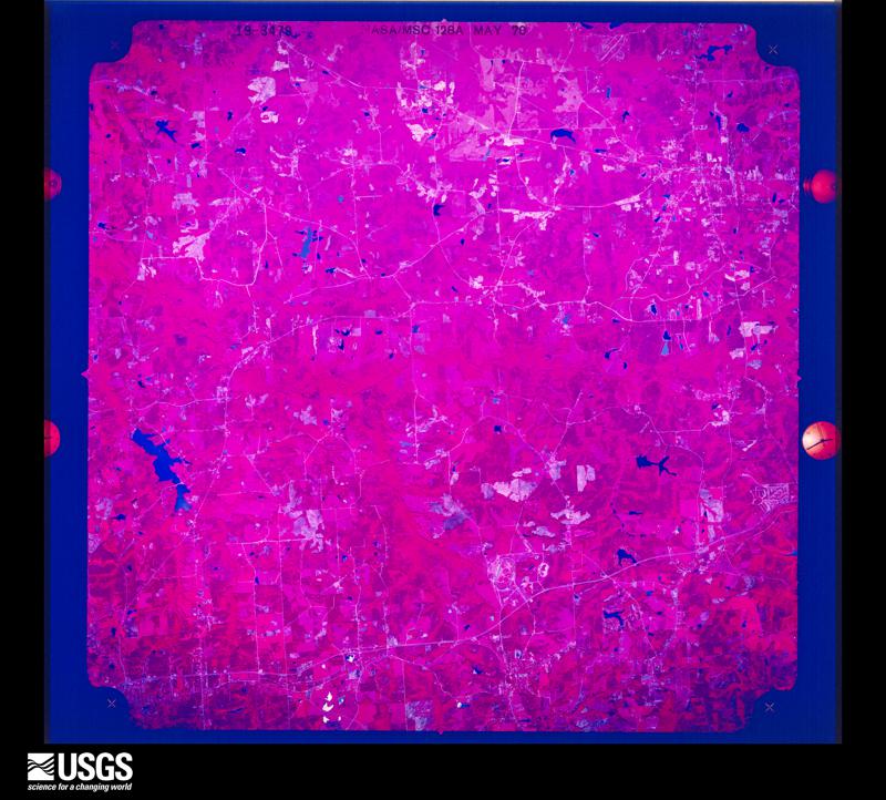



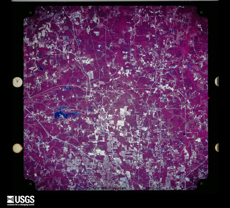

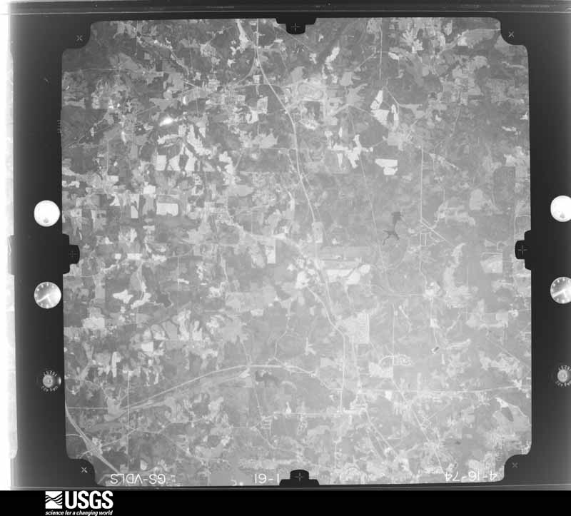
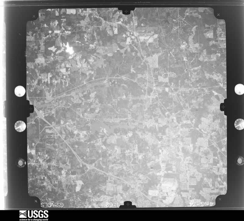
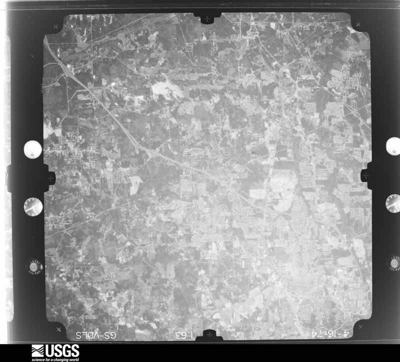
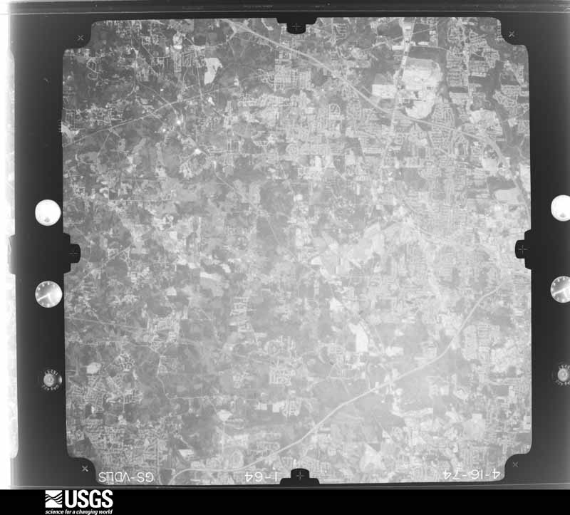
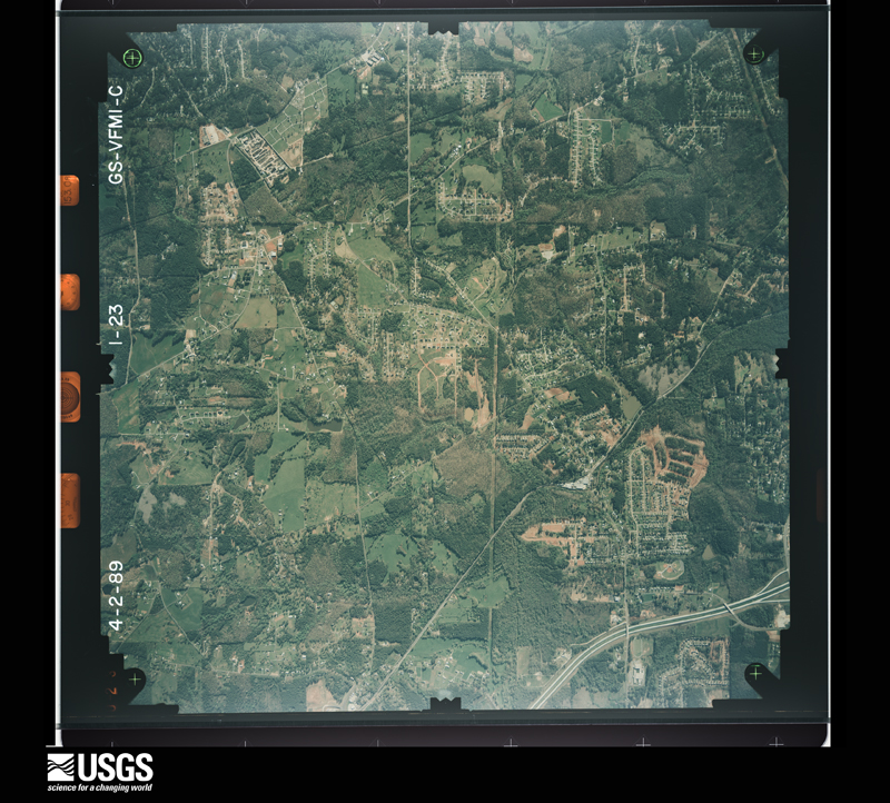
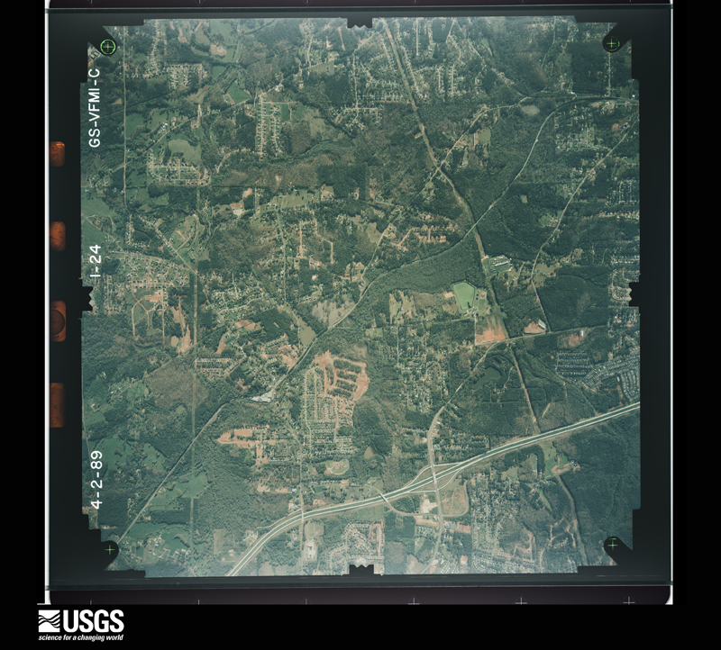
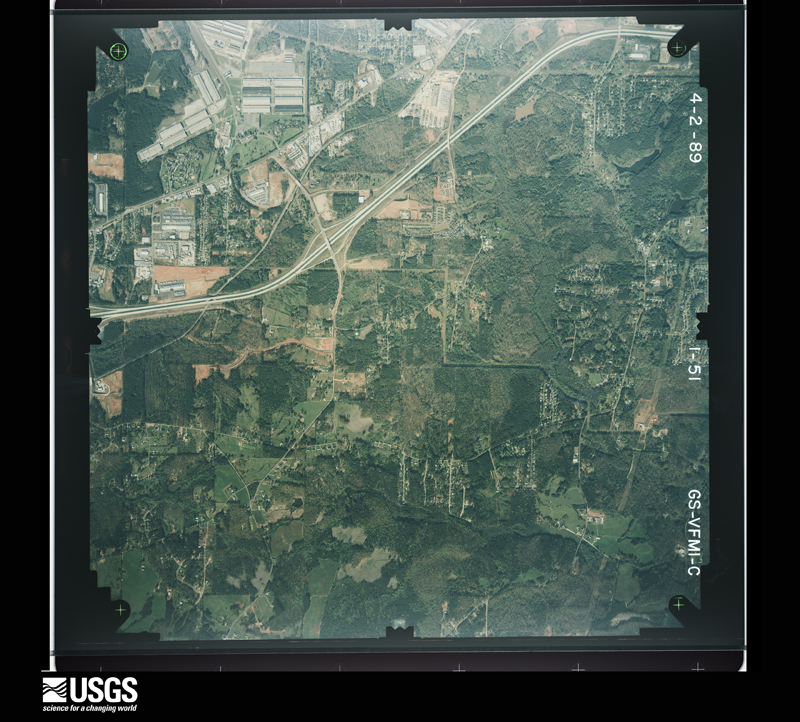
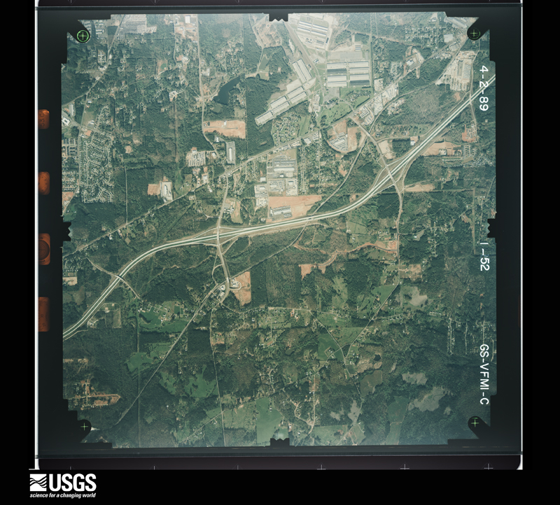
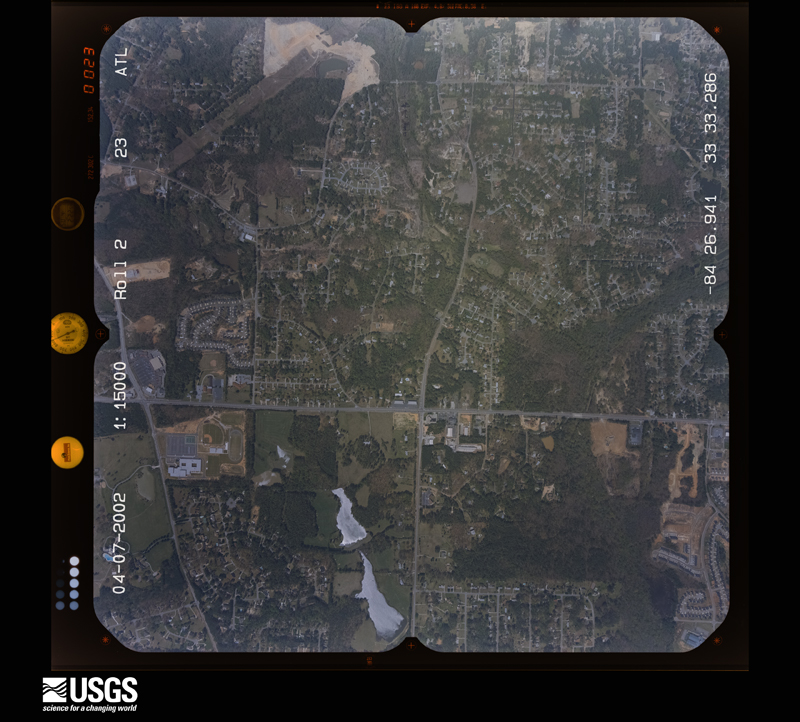
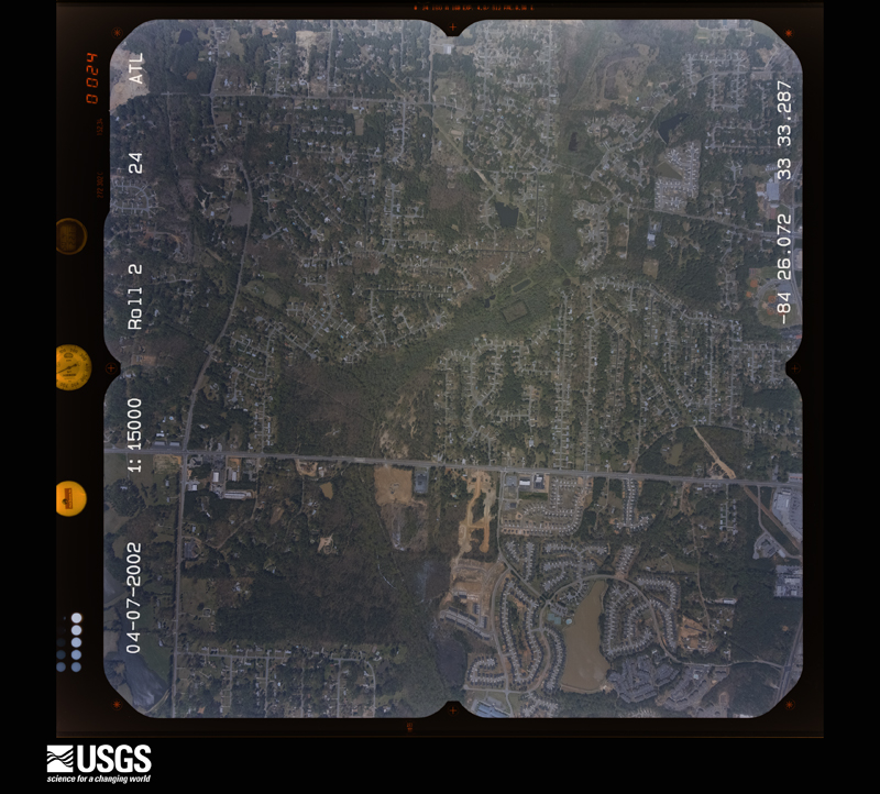
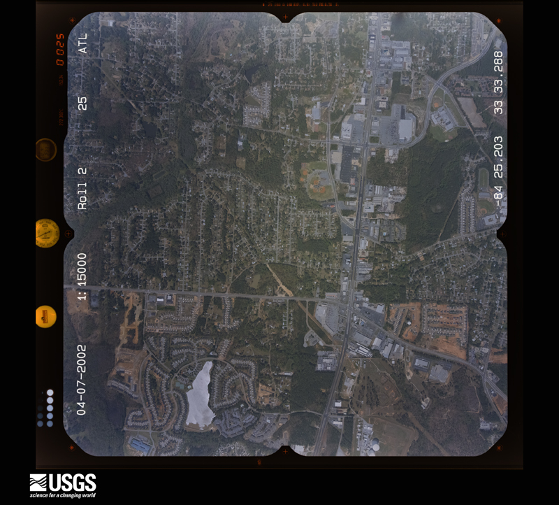
The thermometers that kept this county's weather, and the gages that measured the flow of its streams, as the federal records hold them. The extremes below are measured values from those records, not estimates.
Who lived here in 1950, one enumeration district at a time, as the Census Bureau described each district. Each row opens its official National Archives result, with Population Schedules and ED Maps available there.
Every wildfire the federal occurrence database records inside this county: 213 of them, burning about 705 acres. 2 started naturally and 70 were recorded as arson. Each settlement page carries the fires within five miles of it.
| Reported cause | Fires |
|---|---|
| Arson/incendiarism | 70 |
| Misuse of fire by a minor | 57 |
| Debris and open burning | 48 |
| Recreation and ceremony | 14 |
| Smoking | 10 |
| Missing data/not specified/undetermined | 6 |
| Equipment and vehicle use | 5 |
| Natural | 2 |
| Railroad operations and maintenance | 1 |
The five largest, by the area the report gives. Two of them were set deliberately.
| Date | Cause | Size | Reported by | Name on the report |
|---|---|---|---|---|
| 16 January 1999 | Smoking | 38 acres | Georgia Forestry Commission | not named |
| 27 March 2001 | Debris and open burning | 29 acres | Georgia Forestry Commission | FY2001-CLAYTON-012 |
| 16 March 1994 | Misuse of fire by a minor | 28 acres | Georgia Forestry Commission | not named |
| 19 December 1997 | Arson/incendiarism | 25 acres | Georgia Forestry Commission | not named |
| 14 April 1992 | Arson/incendiarism | 24 acres | Georgia Forestry Commission | not named |
| 17 March 2006 | Misuse of fire by a minor | 18 acres | Georgia Forestry Commission | not named |
| 19 October 2010 | Debris and open burning | 15 acres | Georgia Forestry Commission | FY2011-CLAYTON-003 |
| 18 July 2000 | Smoking | 15 acres | Georgia Forestry Commission | FY2001-CLAYTON-006 |
Every settlement page carries the fires within five miles of it - see the settlement index below.
The NOAA Storm Events Database holds 271 reports for this county, causing 2 deaths, 22 injuries and about $297,934,050 in recorded property damage. Each settlement page carries the reports that name it.
| Kind of event | Reports |
|---|---|
| Thunderstorm Wind | 138 |
| Hail | 80 |
| Lightning | 19 |
| Flash Flood | 16 |
| Tornado | 13 |
| Funnel Cloud | 2 |
| Flood | 2 |
| Heavy Rain | 1 |
The most serious of them, by death, then injury, then recorded damage. The accounts are quoted exactly as the forecast office filed them.
| When | Event | Place named | Harm | What the report says |
|---|---|---|---|---|
| March 2021 | Thunderstorm Wind | Riverdale | 1 killed, $15,000 | The local print media reported a large limb fell onto a truck outside of a home on Lakeview Drive. A man getting into the truck was struck and killed by the falling limb. |
| January 2024 | Thunderstorm Wind | Jonesboro Arpt | 1 killed, $1,000 | Tree fell onto a vehicle along hwy 54 near Jenni Lane. |
| January 2001 | Tornado (F0) | Forest Park | 8 hurt, $2,500,000 | A damage survey, conducted by National Weather Service personnel from the Peachtree City, Georgia office, determined that an F0 tornado briefly touched down at the Forest Square Shopping Center on Georgia Highway 54, Jonesboro Road, near the southwest corner of Fort Gillem. This is about 3 miles southeast of Atlanta's Hartsfield International Airport. Six buildings sustained considerable damage, mainly to roofs, windows, and to exteriors. A pawnshop in the shopping center lost part of its roof and a Pizza Hut, immediately next door, lost all of its windows. Several other buildings in the area lost windows from flying debris. A nearby Pep Boys Auto Parts store lots a large portion of its roof and exterior awnings. The flying debris from the roof of the damaged buildings, particularly the Pep Boys store, caused damage to 15 to 20 cars parked nearby. Many of the cars had their rear windows shattered out and appeared as if they had been hit with a major hailstorm, although no hail was reported in the area. It is believed that rock pebbles from the roofs of the damaged buildings were largely responsible for this occurrence. The flying debris and glass caused injury to 8 people. The injuries were described as being mainly cuts and bruises, although one person suffered a broken arm. Power lines were also reported down in the same area. |
| November 1981 | Tornado (F1) | not stated | 5 hurt, $2,500,000 | no account filed |
| April 1991 | Thunderstorm Wind | not stated | 3 hurt | no account filed |
| June 1999 | Lightning | Jonesboro | 2 hurt | Two workers were treated when lightning struck near the construction site for the new Clayton county jail and courthouse. They were not hit directly by the lightning, but were stunned.One was treated at the scene, while the other was taken to the hospital and released. |
| June 2013 | Thunderstorm Wind | Riverdale | 1 hurt, $80,000 | The Clayton County 911 Center reported at least 10 trees down county wide. One tree fell on a car, injuring a woman inside. Another tree fell on a house. |
| February 2005 | Heavy Rain | Forest Park | 1 hurt, $50,000 | The News Daily of Jonesboro reported that heavy rain caused a partial roof collapse at the SP Recycling Corporation. The weight of the rain water that collected on the roof caused one of the building support columns to collapse. A female night shift worker suffered injuries to her leg during the roof collapse. |
| August 2003 | Lightning | Hastings | 1 hurt | The Fayette county Emergency Management Director reported that Fayette County Medical and Fire Personnel responded to the lightning-related injury of a construction worker at the River's Edge Subdivision, just across the county border in Clayton county. The worker was treated and released with minor injuries. |
| January 2001 | Lightning | Forest Park | 1 hurt | The Clayton county Emergency Management Director reported that a person was struck by lightning. The injured person was treated and released at a local hospital. |
| March 1973 | Tornado (F2) | not stated | $250,000,000 | no account filed |
| May 2008 | Tornado (EF2) | Morrow | $7,500,000 | A survey conducted by the National Weather Service Forecast Office in Peachtree City, Georgia confirmed that an EF2 tornado with maximum winds of 130 mph touched down in far northeast Clayton county, approximately four miles northeast of Morrow, and tracked on the ground for nearly 19 miles from northeast Clayton into northern Henry, southern Rockdale, and into western Newton county before finally lifting. Within Clayton county the tornado path was about 2.75 miles long with a maximum path width of 100 yards. Shortly after touchdown, the tornado caused extensive and significant damage within a 2.5 square mile area of the Ellenwood community. There were 185 private dwellings damaged, 53 of which were destroyed or left uninhabitable. At least 500 residents were displaced from their homes. Numerous trees and power lines were also down in the area. By far, the worst damage caused by this tornado occurred within Clayton county as the tornado weakened as it tracked further east into Henry, Rockdale, and Newton county. Despite the extensive damage, no injuries were reported. |
| February 2009 | Hail | Jonesboro | $6,000,000 | The public and an off-duty National Weather Service employee reported very large hail across Clayton county. This was from the same parent thunderstorm that produced the 3.0 to 4.0 inch diameter hail in northeast Coweta and northern Fayette counties. Three-inch diameter hail was observed just southwest of Jonesboro in the Irongate subdivision and golf ball-sized hail fell elsewhere from just south of Jonesboro to Lovejoy. |
| July 2000 | Thunderstorm Wind | Riverdale | $4,000,000 | The Atlanta Journal and Constitution, along with the Clayton county 911 center, ham radio operators, and the public reported strong thunderstorm winds caused widespread destruction of trees across northern Clayton county. The damage path continued from southern Fulton county near College Park through Riverdale to Forest Park and Morrow in Clayton county. The area from College Park to Riverdale along Georgia Highway 314 bore the brunt of the storm. Hundreds of trees were down on homes and power lines. Parts of Bethsaida Road and Cheryl Lee Road had to be closed because they were blocked by trees. |
| September 2004 | Flash Flood | North Portion | $2,500,000 | The Clayton County Emergency Manager reported major flooding occurred at the headwaters of the Flint River and various creeks which lead into the Flint river, all in far northern Clayton county near the Atlanta Hartsfield-Jackson International Airport. At least six homes in the Springs Subdivision just south of Jonesboro sustained extensive damage from flood waters. Over a dozen homes sustained major damage along the Roxbury Drive. In addition, The Tara Mobile Home Park and Edmonson Mobile Home Parks were flooded. Several businesses along Upper Riverdale and Arrowhead Boulevard were flooded and sustained significant damage. The County Emergency Management Office had to evacuate 37 people by boat in the area between Georgia Highway 138 and Upper Riverdale Road. Upper Riverdale Road was flooded with one to two feet of water flowing over the road, blocking an entrance to Southern Regional Hospital. In the southern end of the county, River's Edge Golf Course sustained significant damage from flood waters and several homes were flooded near Harbour Town Road and Place. |
| April 1980 | Tornado (F1) | not stated | $2,500,000 | no account filed |
| May 1978 | Tornado (F2) | not stated | $2,500,000 | no account filed |
| March 2013 | Hail | Hastings | $2,100,000 | The public reported 1 to 2 inch hail across southern Clayton County. |
| March 2013 | Hail | Atlanta Hartsfield I | $2,100,000 | The Fulton County Emergency Manager as well as airline and federal employees at Hartsfield-Jackson Atlanta International Airport reported quarter to golfball sized hail at the airport. Numerous windshields were broken on Interstate 85 south. |
| January 2006 | Hail | Riverdale | $2,000,000 | Numerous reports of large hail were received from the public in Jonesboro, Morrow, Rex, and Lovejoy. Golf ball-sized hail was reported by a storm spotter and also by the Clayton County 911 Center in Jonesboro. The public reported quarter-sized hail in Morrow and Jonesboro. A storm spotter reported quarter-sized hail in the Rex area near the intersection of U.S. Highway 23 and Interstate-675 and the public reported quarter-sized hail in Lovejoy. Another individual reported observing penny-sized hail on Interstate-285 just south of Hartsfield-Jackson International Airport. |
| January 1996 | Thunderstorm Wind | Jonesboro | $2,000,000 | no account filed |
| July 2005 | Tornado (F1) | Lovejoy | $1,500,000 | This tornado is a continuation of the F2 tornado that began near the Atlanta Motor Speedway just west of Hampton in Henry county, then continued north-northwest passing just east of Lovejoy in Clayton county, then across the Edgar Blalock Raw Water Reservation, at which point it turned northwest and finally entered Clayton county just west of the Edgar Blalock Raw Water Reservation. The tornado traveled approximately one mile to the north-northwest in Clayton county, finally lifting near Jodeco Road southeast of Lake Spivey. The tornado had weakened and narrowed by the time it entered Clayton county. However, it was still rated as an F1 with a path width of about 100 yards. The Clayton County Emergency Management Director reported that 50 homes in the Kade Cove subdivision of Lovejoy sustained damage, 20 of which had major structural damage. Many trees and power lines were down in the area. Power was also out to much of the county. |
| April 2009 | Hail | Atlanta Hartsfield I | $1,000,000 | Several reports of large hail were received from the public across Clayton county as a slow moving severe thunderstorm tracked from the northwest to the east central part of the county. The ASOS observer at the Atlanta Hartsfield-Jackson International Airport observed penny to quarter-sized hail off and on for a period of 46 minutes. Golf ball-sized hail was reported from the public in Forest Park and Morrow, while penny to quarter-sized hail fell near Rex, east of Morrow, and northeast of Jonesboro as the storm began to weaken slightly as it approached the eastern border of the county. In addition, the wind gusted to 42 knots at Atlanta's Hartsfield-Jackson International Airport during the hailstorm. Frequent to continuous cloud-to-ground lightning was also observed at the airport during the thunderstorm. |
| March 2008 | Hail | Atlanta Hartsfield I | $1,000,000 | The public reported penny to golf ball-sized hail in the far northwestern part of Clayton county, just south of Atlanta Hartsfield-Jackson International Airport, near U.S. 29 Highway, Roosevelt Highway, and Georgia Highway 279, Old National Highway. |
| March 2008 | Hail | Atlanta Hartsfield I | $1,000,000 | The public observed half-dollar to golf ball-sized hail across northern Clayton county from just south of Atlanta Hartsfield-Jackson International Airport in the College Park area to northeast of Morrow. One-half inch diameter hail was observed at the airport. |
| March 2008 | Hail | Morrow | $1,000,000 | The public reported hail, larger in size than golf balls, but smaller in size then tennis balls in the Morrow area. |
| May 2008 | Hail | Morrow | $1,000,000 | A storm survey conducted by the National Weather Service Forecast Office in Peachtree City, Georgia concluded that golf ball-sized hail had fallen across northeast Clayton county, especially in the Morrow and Ellenwood areas. |
| July 2007 | Lightning | Jonesboro | $300,000 | An amateur radio operator relayed a report of two lightning-related house fires. The Clayton County Emergency Management Director reported that one of the homes suffered substantial damage when lightning started a fire in the drop ceiling of the basement when it struck a panel box outside of the home. |
| March 2021 | Tornado (EF1) | Riverdale | $250,000 | A National Weather Service survey determined that an EF1 tornado with maximum wind speeds of 90 MPH and a maximum path width of 100 yards briefly touched down in Clayton County. Damage was first surveyed along Bethsaida Road near the intersection with Lakefield Forrest Drive where several trees were uprooted or snapped and several power lines were blown down. The tornado moved southeast reaching its maximum intensity as it crossed West Fayetteville Road snapping or uprooting numerous trees, including several which fell onto homes along Bethaven Road and Zebulon Court. The tornado continued southeast along Bethaven Road, lifting before it reached the intersection of Bethaven road and Monarch Drive. [3/1/21: Tornado #1, County #1/1, EF-1, Clayton, 2021:005]. |
| August 2009 | Lightning | Riverdale | $250,000 | The Clayton County 911 Center reported that lightning strikes resulted in two house fires in the Riverdale area. Specific damages were not provided. One tree was also blown down by thunderstorm winds. |
| July 2005 | Flash Flood | Riverdale | $250,000 | The Clayton County Emergency Management Director reported significant flooding in three different areas within the county. One area was along Jester's Creek just north of Jonesboro where an entire trailer community was flooded. Fourteen of the mobile homes in the community were damaged beyond repair by the flood waters and had to be evacuated. Fifty-two residents of the community had to be moved to shelters. Flooding was also reported to several homes in Jonesboro along River Road. Water was reported to have been two feet deep in some of these homes. In Riverdale, several homes were flooded along Mockingbird Trail and Roxsbury drive. Flooding was generally limited to the basements of these site-built homes. Flooding was also reported at several homes in Lovejoy as well. All in all, the county received 44 calls of home flooding during the early morning hours of July 11th. A bridge near the Southern Regional Medical Center was flooded from the Flint River, causing emergency vehicles to have to be rerouted. Lovejoy Creek rose above its flood stage of 12.0 feet at 7 am EDT and rose to a record 18.9 feet later that evening at 11 pm EDT as all of the flood waters upstream drained into the creek. This was the second highest crest at this location, only surpassed by a reading of 23.6 feet on July 5, 1994 during Tropical Storm Alberto. Rainfall of 8-10 inches was recorded across much of the county, especially the western sections. |
| August 2007 | Lightning | Morrow | $200,000 | Local Atlanta television stations reported that lightning struck and set on fire a home in Morrow. The event was being covered live via a television helicopter. The Daily Herald of McDonough reported that lightning struck the steeple of Dixon Grove Baptist Churchon Fielder Street in Jonesboro. There was a small fire at the base of the steeple where it connected to the roof. In addition, lightning knocked out power to the Clayton State University Campus causing cancellation of all classes for the remainder of the day. |
| December 2015 | Flash Flood | Riverdale | $150,000 | A USGS stream gauge on the Flint River at North Bridge Road or 4 miles west to southwest of Lovejoy reached flood stage of 12 feet. The river crest at 16.9 feet. Significant flooding affected the basements of numerous homes along Roxbury Drive...Rambo Court...and Mockingbird Road. Several mobile homes were flooded along Museum Circle. The flooding of Upper Riverdale Road cut off access to Southern Regional Hospital. Several roads were flooded including Upper Riverdale Road...Arrowhead Boulevard...Mockingbird Road...Museum Circle...Turner Road...Harbour Town and North Bridge Road. |
| August 2000 | Lightning | Jonesboro | $150,000 | The Jonesboro Daily News reported that lightning struck and destroyed a home near Jonesboro on Wright's Way. The lightning started a fire in the attic which quickly spread to the garage and upstairs bedrooms. The home was gutted and its roof burned away. No one was home at the time, hence no injuries were reported. |
| June 2006 | Thunderstorm Wind | Jonesboro | $100,000 | The News Daily of Jonesboro reported that a downed tree caused a chain reaction which resulted in two other trees falling, the third of which caused extensive damage to a home. A resident of the home was trapped for 30 minutes in her home. Later analysis shows that the home may have to be demolished. |
| June 1999 | Lightning | Riverdale | $100,000 | A newspaper report indicated lightning may have been responsible for a fire which started in the attic and nearly destroyed a church on Sullivan Road near Riverdale Road. |
| April 2021 | Thunderstorm Wind | Forest Park | $50,000 | The Clayton County Emergency Manager and the general public reported numerous trees and power lines blown down from the Forest Park area to Morrow. |
| June 2010 | Lightning | Lake Tara | $50,000 | The News Daily of Jonesboro reported that lightning struck a home on Fieldgreen Drive. The resulting fire to the attic caused extensive damage to the home. |
| September 2009 | Flood | Riverdale | $50,000 | The Clayton County 911 Center reported that several roads were flooded throughout the county, especially the northern sections near the Atlanta Hartsfield-Jackson International Airport, Jonesboro, Riverdale, and Forest Park. However, no roads were reported to have been closed during this time frame. Some homes and apartments suffered minor flooding, especially in the Riverdale area. Monetary damage was estimated to be $50,000. |
| June 2005 | Lightning | Morrow | $50,000 | WSB Television of Atlanta reported that lightning struck a tree adjacent to a home igniting a fire in an adjacent fuse box in the laundry room. An adjacent carport and stored 1957 Ford Fairane were also destroyed by fire. |
| November 2004 | Thunderstorm Wind | Hastings | $50,000 | The public reported that the damage path to trees and homes that began in eastern Fayette county to two subdivisions along Jeff Davis Drive southeast of Fayetteville, continued into Clayton county. Strong straight-lined winds blew down dozens of trees and damaged some homes in a subdivision near the Flint River along North Bridge/Hampton Road. Other damage was reported to trees along Heritage and Panhandle Drives. At least 10 trees were blown down just within one block. The gutters were ripped off another house by the strong winds. |
| July 2003 | Thunderstorm Wind | Jonesboro | $50,000 | The public reported that at least five medium-sized trees were blown down. One of the trees landed on a brand new pickup truck and boat. The Atlanta Journal-Constitution reported that power lines were blown down across cars on Tara Boulevard in the Morrow area. |
| June 2000 | Lightning | Forest Park | $50,000 | A McDonough newspaper reported lightning struck the Heritage Bank's Forest Park branch, setting it on fire and destroying the top floor of the building. Three fire firefighters suffered heat and smoke trauma while fighting the fire. |
| July 1999 | Lightning | Morrow | $50,000 | Lightning started a fire at the Lake Harbin Apartments, causing significant damage to the roof and attic. |
| May 1994 | Thunderstorm Wind | not stated | $50,000 | Numerous trees, street signals and power lines were downed by thunderstorm winds throughout the county with Jonesboro the,hardest hit. |
| June 2019 | Flash Flood | Jonesboro | $45,000 | A local official reported that water had flooded a roadway in a Jonesboro neighborhood, impacting cars and houses. Radar estimates indicate that rainfall amounts of 6 to 6.5 inches occurred over the area in a short period of time. |
| October 2020 | Tornado (EF0) | Morrow | $40,000 | A National Weather Service survey team found that an EF0 tornado with maximum wind speeds of 75 mph and a maximum path width 150 yards travelled 0.6 miles across a portion of east Clayton County near Morrow. The tornado touched down near Maddox Road south of Mt. Zion Boulevard between Morrow and Allendale Heights in northeast Clayton County. The tornado moved north northwest, snapping a few trees and pulling some roof materials and siding off a home, before lifting just before Mt. Zion Boulevard. No injuries were reported. [10/10/20: Tornado #5, County #1/1, EF-0, Clayton, 2020:032]. |
| August 2018 | Flash Flood | Riverdale | $40,000 | Emergency Manager reported flash flooding in Riverdale, including portions of Upper Riverdale Road. Water was also flowing over Garden Walk Boulevard, resulting in a portion of the road being washed out. A culvert at Windsor Drive was washed out from high flow from Jester Creek. Radar estimates indicate that rainfall amounts of 3 to 4 inches, with locally higher amounts, occurred over the area in a short period of time. |
| August 2020 | Flash Flood | Riverdale | $35,000 | The Emergency Manager reported part of Jesters Creek Trail washed out near Comerce Road. Additionally, first responders reported apartments off Sheldon Court were flooded with at least half a foot of water. A portion of a road collapsed at a third location off Garden Walk Boulevard. Radar estimates indicate that more than 3 inches of rain occurred in a 2 hour period, resulting in the flash flooding. |
| July 2000 | Thunderstorm Wind | Conley | $35,000 | The public reported trees down from in Conley and Morrow. At one residence in Morrow, the trees were reported to be down on a van and across the side of the house. |
| March 1996 | Thunderstorm Wind | Conley | $30,000 | no account filed |
| February 2019 | Tornado (EF0) | Riverdale | $25,000 | A National Weather Service survey team found that a brief, EF0 tornado with a maximum winds speed of 75 mph and a maximum path width of 100 yards occurred in northern Clayton County. The tornado touched down along Highway 85 between Forest Park and Riverdale where trees were blown down or snapped on either side of the highway just south of Orr Road. The tornado ripped shingles off the roof of an apartment building and downed several trees around the apartment complex as it moved east-northeast. The tornado crossed I-75 and downed trees along Pineridge Drive between Virginia Circle and Ash Street before lifting along School Lane just northwest of Forest Park High School where it blew down several large limbs onto the roof of a home. No injuries were reported. [02/12/19: Tornado #2, County #1/1, EF-0, Clayton, 2019:002]. |
| July 2005 | Flash Flood | Countywide | $25,000 | The Rockdale Citizen reported that several roads were washed out in the county. Rainfall across the county ranged from two to four inches during the evening hours. |
| July 2005 | Thunderstorm Wind | Countywide | $25,000 | The Clayton County 911 Center reported that several trees, probably more than a dozen, were down across the county. |
| July 2003 | Thunderstorm Wind | Jonesboro | $25,000 | An amateur radio operator reported that one tree was blown down on a house in downtown Jonesboro and another tree was blown down on a car. |
| June 2003 | Flash Flood | Jonesboro | $25,000 | The Clayton county 911 center reported that flash flooding had occurred in the Briargate Subdivision as a result of Briar Creek flooding the local area. Up to eight homes had to be evacuated on Winding Way in the subdivision. |
| July 2002 | Lightning | Riverdale | $25,000 | The News Daily of Jonesboro reported that lightning struck a home setting fire to the structure. Quick action of the homeowner limited the amount of damage. Nonetheless, damage was extensive enough that repairs were expected to take two to three months. Nearly 7000 residents of the county were without power much of the evening either because of cloud-to-ground lightning strikes or wind damage. |
| July 2000 | Lightning | Jonesboro | $25,000 | A Jonesboro newspaper reported two homes were struck by lightning. One home on Camanche Court was set on fire, while only smoke was found at the other house on Lull Water Circle. |
| May 1995 | Thunderstorm Wind | Riverdale | $25,000 | Thunderstorm winds knocked down several trees just south of the post office off King Road and also on Valley Road in Riverdale. A chimney was knocked off on Taylor Road. In Forest Park, several homes sustained roof damage when large tree limbs fell on them. Two homes under construction in Jonesboro were completely blown over. |
| February 1997 | Thunderstorm Wind | Jonesboro | $25,000 | no account filed |
The Survey's mineral resources record lists 1 working inside this county. It still produces. Each settlement page carries the workings within five miles of it.
| Commodity | Workings |
|---|---|
| Stone, Crushed/Broken | 1 |
The least common of them first, because a county's hundredth gravel pit says nothing its first ten did not.
| Where | Site | Commodity | Status | Recorded |
|---|---|---|---|---|
| Forest Park Quarry | Stone, Crushed/Broken | Producer |
Named settlements recorded in the Geographic Names Information System, each with the topographic sheets covering it. Villages, hamlets and abandoned places alike. Each is shown with the nearest named watercourse or landform and the survey quadrangle it falls on. The 1 place that was also surveyed for fire insurance comes first, with the number of atlases and photographs held for them.
Jonesboro census division · 30236 · On Little Rum Creek · Jonesboro quadrangle
21 sheets, 1888 to 1993
Fire insurance: 7 atlases
Forest Park-Morrow census division · 30260 · On Rocky Creek · Jonesboro quadrangle
21 sheets, 1888 to 1993
Forest Park-Morrow census division · 30273 · On Upton Creek · Jonesboro quadrangle
21 sheets, 1888 to 1993
Forest Park-Morrow census division · 30273 · On Sweetgum Creek · Jonesboro quadrangle
21 sheets, 1888 to 1993
Riverdale census division · 30296 · On Cater Creek · Riverdale quadrangle
21 sheets, 1888 to 1993
Riverdale census division · 30296 · On Cater Creek · Riverdale quadrangle
21 sheets, 1888 to 1993
Riverdale census division · 30274 · On Kendrick Waters · Riverdale quadrangle
21 sheets, 1888 to 1993
Jonesboro census division · 30236 · On Brown Rock Bottom Creek · Jonesboro quadrangle
21 sheets, 1888 to 1993
Jonesboro census division · 30228 · On Geese Chant Creek · Brooks quadrangle
9 sheets, 1953 to 1979
Riverdale census division · 30296 · On Thornton Creek · Riverdale quadrangle
21 sheets, 1888 to 1993
Riverdale census division · 30296 · On Thornton Creek · Riverdale quadrangle
21 sheets, 1888 to 1993
Forest Park-Morrow census division · 30260 · On Angel Creek · Jonesboro quadrangle
21 sheets, 1888 to 1993
Forest Park-Morrow census division · 30294 · On Sweetgum Creek · Jonesboro quadrangle
21 sheets, 1888 to 1993
Jonesboro census division · 30238 · On Castor Creek · Hampton quadrangle
11 sheets, 1953 to 1999
Forest Park-Morrow census division · 30273 · On Rocky Creek · Jonesboro quadrangle
21 sheets, 1888 to 1993
Riverdale census division · 30236 · On Jester Creek · Riverdale quadrangle
21 sheets, 1888 to 1993
Riverdale census division · 30296 · On Cater Creek · Riverdale quadrangle
21 sheets, 1888 to 1993
Riverdale census division · 30296 · On Cater Creek · Riverdale quadrangle
21 sheets, 1888 to 1993
Forest Park-Morrow census division · 30236 · On Jester Creek · Riverdale quadrangle
21 sheets, 1888 to 1993
Riverdale census division · 30296 · On Thornton Creek · Riverdale quadrangle
21 sheets, 1888 to 1993
Riverdale census division · 30296 · On Eagles Brook · Riverdale quadrangle
21 sheets, 1888 to 1993
Forest Park-Morrow census division · 30273 · On Rocky Creek · Jonesboro quadrangle
21 sheets, 1888 to 1993
Forest Park-Morrow census division · 30260 · On Trammel Creek · Jonesboro quadrangle
21 sheets, 1888 to 1993
College Park census division · 30349 · On Eagles Brook · Riverdale quadrangle
21 sheets, 1888 to 1993
Riverdale census division · 30296 · On Eagles Brook · Riverdale quadrangle
21 sheets, 1888 to 1993
Riverdale census division · 30296 · On Thornton Creek · Riverdale quadrangle
21 sheets, 1888 to 1993
Jonesboro census division · 30236 · On Jester Creek · Jonesboro quadrangle
21 sheets, 1888 to 1993
Riverdale census division · 30236 · On Jester Creek · Riverdale quadrangle
21 sheets, 1888 to 1993
College Park census division · 30349 · On Eagles Brook · Riverdale quadrangle
21 sheets, 1888 to 1993
Forest Park-Morrow census division · 30297 · On Mud Creek · Jonesboro quadrangle
21 sheets, 1888 to 1993
Riverdale census division · 30274 · Riverdale quadrangle
21 sheets, 1888 to 1993
Forest Park-Morrow census division · 30260 · On Angel Creek · Jonesboro quadrangle
21 sheets, 1888 to 1993
Forest Park-Morrow census division · 30288 · Southeast Atlanta quadrangle
21 sheets, 1888 to 1993
Forest Park-Morrow census division · 30274 · On Jester Creek · Riverdale quadrangle
21 sheets, 1888 to 1993
Forest Park-Morrow census division · 30354 · On Thames Creek · Southwest Atlanta quadrangle
23 sheets, 1888 to 1997
Jonesboro census division · 30273 · On Rocky Creek · Jonesboro quadrangle
21 sheets, 1888 to 1993
Forest Park-Morrow census division · 30273 · On Rocky Creek · Jonesboro quadrangle
21 sheets, 1888 to 1993
Riverdale census division · 30274 · On Jester Creek · Riverdale quadrangle
21 sheets, 1888 to 1993
Forest Park-Morrow census division · 30260 · On Rocky Creek · Jonesboro quadrangle
21 sheets, 1888 to 1993
Forest Park-Morrow census division · 30260 · On Trammel Creek · Jonesboro quadrangle
21 sheets, 1888 to 1993
Riverdale census division · 30274 · On Thornton Creek · Riverdale quadrangle
21 sheets, 1888 to 1993
Jonesboro census division · 30236 · On Lowland Creek · Jonesboro quadrangle
21 sheets, 1888 to 1993
Forest Park-Morrow census division · 30236 · On Mud Creek · Jonesboro quadrangle
21 sheets, 1888 to 1993
Forest Park-Morrow census division · 30288 · On Veterans Creek · Southeast Atlanta quadrangle
21 sheets, 1888 to 1993
Forest Park-Morrow census division · 30294 · Jonesboro quadrangle
21 sheets, 1888 to 1993
Riverdale census division · 30296 · On Thornton Creek · Riverdale quadrangle
21 sheets, 1888 to 1993
Jonesboro census division · 30236 · On Brown Rock Bottom Creek · Jonesboro quadrangle
21 sheets, 1888 to 1993
Jonesboro census division · 30236 · On Lowland Creek · Jonesboro quadrangle
21 sheets, 1888 to 1993
Riverdale census division · 30296 · On Thornton Creek · Riverdale quadrangle
21 sheets, 1888 to 1993
Jonesboro census division · 30236 · On Log Cabin Pond Brook · Jonesboro quadrangle
21 sheets, 1888 to 1993
Forest Park-Morrow census division · 30297 · Jonesboro quadrangle
21 sheets, 1888 to 1993
Riverdale census division · 30274 · On Jester Creek · Riverdale quadrangle
21 sheets, 1888 to 1993
Forest Park-Morrow census division · 30273 · On Sweetgum Creek · Jonesboro quadrangle
21 sheets, 1888 to 1993
Riverdale census division · 30296 · On Thornton Creek · Riverdale quadrangle
21 sheets, 1888 to 1993
Riverdale census division · 30238 · On Cleburnes Creek · Riverdale quadrangle
21 sheets, 1888 to 1993
Riverdale census division · 30274 · On Kendrick Waters · Riverdale quadrangle
21 sheets, 1888 to 1993
Riverdale census division · 30296 · On Cater Creek · Riverdale quadrangle
21 sheets, 1888 to 1993
Riverdale census division · 30296 · On Cater Creek · Riverdale quadrangle
21 sheets, 1888 to 1993
Forest Park-Morrow census division · 30260 · On Rocky Creek · Jonesboro quadrangle
21 sheets, 1888 to 1993
Riverdale census division · 30274 · On Team Stream · Riverdale quadrangle
21 sheets, 1888 to 1993
Riverdale census division · 30238 · On Beaverdam Creek · Riverdale quadrangle
21 sheets, 1888 to 1993
Forest Park-Morrow census division · 30260 · On Rocky Creek · Jonesboro quadrangle
21 sheets, 1888 to 1993
Jonesboro census division · 30228 · On Castor Creek · Hampton quadrangle
11 sheets, 1953 to 1999
Forest Park-Morrow census division · 30260 · On Trammel Creek · Jonesboro quadrangle
21 sheets, 1888 to 1993
Jonesboro census division · 30273 · On Rocky Creek · Jonesboro quadrangle
21 sheets, 1888 to 1993
Riverdale census division · 30296 · On Cater Creek · Riverdale quadrangle
21 sheets, 1888 to 1993
Forest Park-Morrow census division · 30297 · On Mud Creek · Jonesboro quadrangle
21 sheets, 1888 to 1993
Forest Park-Morrow census division · 30297 · On Mud Creek · Jonesboro quadrangle
21 sheets, 1888 to 1993
Riverdale census division · 30296 · On Eagles Brook · Riverdale quadrangle
21 sheets, 1888 to 1993
Forest Park-Morrow census division · 30273 · On Sweetgum Creek · Jonesboro quadrangle
21 sheets, 1888 to 1993
Riverdale census division · 30296 · On Thornton Creek · Riverdale quadrangle
21 sheets, 1888 to 1993
Jonesboro census division · 30236 · On Hidden Springs Brook · Jonesboro quadrangle
21 sheets, 1888 to 1993
Jonesboro census division · 30238 · On Castor Creek · Hampton quadrangle
11 sheets, 1953 to 1999
Jonesboro census division · 30238 · On Swamp Creek · Hampton quadrangle
11 sheets, 1953 to 1999
Riverdale census division · 30296 · On Thornton Creek · Riverdale quadrangle
21 sheets, 1888 to 1993
Jonesboro census division · 30236 · On Little Rum Creek · Jonesboro quadrangle
21 sheets, 1888 to 1993
Forest Park-Morrow census division · 30273 · On Upton Creek · Jonesboro quadrangle
21 sheets, 1888 to 1993
Riverdale census division · 30238 · On Beaverdam Creek · Riverdale quadrangle
21 sheets, 1888 to 1993
Riverdale census division · 30296 · On Cater Creek · Riverdale quadrangle
21 sheets, 1888 to 1993
Jonesboro census division · 30260 · On Rocky Creek · Jonesboro quadrangle
21 sheets, 1888 to 1993
Jonesboro census division · 30236 · On Roberts Brook · Jonesboro quadrangle
21 sheets, 1888 to 1993
Jonesboro census division · 30236 · On Botanical Bend Creek · Hampton quadrangle
11 sheets, 1953 to 1999
Forest Park-Morrow census division · 30260 · On Angel Creek · Jonesboro quadrangle
21 sheets, 1888 to 1993
Jonesboro census division · 30236 · On Mossflorinstone Creek · Jonesboro quadrangle
21 sheets, 1888 to 1993
Jonesboro census division · 30236 · On Vaughn Branch · Jonesboro quadrangle
21 sheets, 1888 to 1993
Jonesboro census division · 30236 · On Jester Creek · Jonesboro quadrangle
21 sheets, 1888 to 1993
College Park census division · 30337 · Riverdale quadrangle
21 sheets, 1888 to 1993
Riverdale census division · 30296 · On Cater Creek · Riverdale quadrangle
21 sheets, 1888 to 1993
Riverdale census division · 30296 · On Eagles Brook · Riverdale quadrangle
21 sheets, 1888 to 1993
Riverdale census division · 30238 · On Cleburnes Creek · Riverdale quadrangle
21 sheets, 1888 to 1993
Riverdale census division · 30296 · On Eagles Brook · Riverdale quadrangle
21 sheets, 1888 to 1993
Forest Park-Morrow census division · 30297 · On Thames Creek · Southeast Atlanta quadrangle
21 sheets, 1888 to 1993
Jonesboro census division · 30273 · On Rocky Creek · Jonesboro quadrangle
21 sheets, 1888 to 1993
Riverdale census division · 30238 · On Kendrick Waters · Riverdale quadrangle
21 sheets, 1888 to 1993
Forest Park-Morrow census division · 30354 · On Thames Creek · Southwest Atlanta quadrangle
23 sheets, 1888 to 1997
Forest Park-Morrow census division · 30273 · On Upton Creek · Jonesboro quadrangle
21 sheets, 1888 to 1993
Forest Park-Morrow census division · 30288 · Southeast Atlanta quadrangle
21 sheets, 1888 to 1993
Jonesboro census division · 30274 · On Jester Creek · Riverdale quadrangle
21 sheets, 1888 to 1993
Forest Park-Morrow census division · 30260 · On Angel Creek · Jonesboro quadrangle
21 sheets, 1888 to 1993
Forest Park-Morrow census division · 30354 · On Thames Creek · Southwest Atlanta quadrangle
23 sheets, 1888 to 1997
Forest Park-Morrow census division · 30297 · On Thames Creek · Southeast Atlanta quadrangle
21 sheets, 1888 to 1993
Jonesboro census division · 30238 · On Beaverdam Creek · Fayetteville quadrangle
10 sheets, 1953 to 1979
Forest Park-Morrow census division · 30260 · On Trammel Creek · Jonesboro quadrangle
21 sheets, 1888 to 1993
Forest Park-Morrow census division · 30354 · On Thames Creek · Southwest Atlanta quadrangle
23 sheets, 1888 to 1997
Forest Park-Morrow census division · 30354 · On Thames Creek · Southwest Atlanta quadrangle
23 sheets, 1888 to 1997
Jonesboro census division · 30260 · On Rocky Creek · Jonesboro quadrangle
21 sheets, 1888 to 1993
Forest Park-Morrow census division · 30297 · On Veterans Creek · Southeast Atlanta quadrangle
21 sheets, 1888 to 1993
Riverdale census division · 30274 · On Team Stream · Riverdale quadrangle
21 sheets, 1888 to 1993
Jonesboro census division · 30236 · On Rocky Creek · Jonesboro quadrangle
21 sheets, 1888 to 1993
Jonesboro census division · 30236 · On Log Cabin Pond Brook · Jonesboro quadrangle
21 sheets, 1888 to 1993
Jonesboro census division · 30238 · On Castor Creek · Hampton quadrangle
11 sheets, 1953 to 1999
Riverdale census division · 30296 · On Thornton Creek · Riverdale quadrangle
21 sheets, 1888 to 1993
Forest Park-Morrow census division · 30260 · On Trammel Creek · Jonesboro quadrangle
21 sheets, 1888 to 1993
Forest Park-Morrow census division · 30297 · On Angel Creek · Jonesboro quadrangle
21 sheets, 1888 to 1993
College Park census division · 30349 · On Eagles Brook · Riverdale quadrangle
21 sheets, 1888 to 1993
Forest Park-Morrow census division · 30273 · On Upton Creek · Jonesboro quadrangle
21 sheets, 1888 to 1993
Forest Park-Morrow census division · 30260 · On Trammel Creek · Jonesboro quadrangle
21 sheets, 1888 to 1993
Forest Park-Morrow census division · 30297 · On Veterans Creek · Southeast Atlanta quadrangle
21 sheets, 1888 to 1993
Forest Park-Morrow census division · 30288 · Southeast Atlanta quadrangle
21 sheets, 1888 to 1993
Riverdale census division · 30274 · On Jester Creek · Riverdale quadrangle
21 sheets, 1888 to 1993
Forest Park-Morrow census division · 30273 · On Sweetgum Creek · Jonesboro quadrangle
21 sheets, 1888 to 1993
Forest Park-Morrow census division · 30297 · Southeast Atlanta quadrangle
21 sheets, 1888 to 1993
Riverdale census division · 30274 · On Team Stream · Riverdale quadrangle
21 sheets, 1888 to 1993
Riverdale census division · 30274 · On Team Stream · Riverdale quadrangle
21 sheets, 1888 to 1993
Forest Park-Morrow census division · 30297 · On Veterans Creek · Southeast Atlanta quadrangle
21 sheets, 1888 to 1993
Forest Park-Morrow census division · 30288 · Southeast Atlanta quadrangle
21 sheets, 1888 to 1993
Forest Park-Morrow census division · 30294 · On Sweetgum Creek · Jonesboro quadrangle
21 sheets, 1888 to 1993
Riverdale census division · 30274 · On Team Stream · Riverdale quadrangle
21 sheets, 1888 to 1993
Riverdale census division · 30296 · On Cater Creek · Riverdale quadrangle
21 sheets, 1888 to 1993
Riverdale census division · 30296 · On Cater Creek · Riverdale quadrangle
21 sheets, 1888 to 1993
Riverdale census division · 30296 · On Thornton Creek · Riverdale quadrangle
21 sheets, 1888 to 1993
Forest Park-Morrow census division · 30236 · Jonesboro quadrangle
21 sheets, 1888 to 1993
Riverdale census division · 30274 · On Team Stream · Riverdale quadrangle
21 sheets, 1888 to 1993
Riverdale census division · 30296 · On Thornton Creek · Riverdale quadrangle
21 sheets, 1888 to 1993
Forest Park-Morrow census division · 30297 · On Veterans Creek · Southeast Atlanta quadrangle
21 sheets, 1888 to 1993
Riverdale census division · 30274 · On Jester Creek · Riverdale quadrangle
21 sheets, 1888 to 1993
Forest Park-Morrow census division · 30294 · On Trammel Creek · Jonesboro quadrangle
21 sheets, 1888 to 1993
Forest Park-Morrow census division · 30297 · On Mud Creek · Jonesboro quadrangle
21 sheets, 1888 to 1993
Forest Park-Morrow census division · 30294 · On Sweetgum Creek · Jonesboro quadrangle
21 sheets, 1888 to 1993
Riverdale census division · 30238 · On Jester Creek · Riverdale quadrangle
21 sheets, 1888 to 1993
Riverdale census division · 30296 · On Cater Creek · Riverdale quadrangle
21 sheets, 1888 to 1993
Riverdale census division · 30296 · On Thornton Creek · Riverdale quadrangle
21 sheets, 1888 to 1993
Forest Park-Morrow census division · 30260 · On Trammel Creek · Jonesboro quadrangle
21 sheets, 1888 to 1993
Forest Park-Morrow census division · 30273 · On Rocky Creek · Jonesboro quadrangle
21 sheets, 1888 to 1993
Riverdale census division · 30238 · On Jester Creek · Riverdale quadrangle
21 sheets, 1888 to 1993
Forest Park-Morrow census division · 30297 · On Veterans Creek · Southeast Atlanta quadrangle
21 sheets, 1888 to 1993
Forest Park-Morrow census division · 30297 · On Thames Creek · Southeast Atlanta quadrangle
21 sheets, 1888 to 1993
Riverdale census division · 30274 · On Jester Creek · Riverdale quadrangle
21 sheets, 1888 to 1993
Jonesboro census division · 30236 · On Jester Creek · Jonesboro quadrangle
21 sheets, 1888 to 1993
Jonesboro census division · 30238 · On Botanical Bend Creek · Hampton quadrangle
11 sheets, 1953 to 1999
Riverdale census division · 30238 · On Kendrick Waters · Riverdale quadrangle
21 sheets, 1888 to 1993
Riverdale census division · 30296 · On Eagles Brook · Riverdale quadrangle
21 sheets, 1888 to 1993
Jonesboro census division · 30236 · On Botanical Bend Creek · Jonesboro quadrangle
21 sheets, 1888 to 1993
Jonesboro census division · 30236 · On Log Cabin Pond Brook · Jonesboro quadrangle
21 sheets, 1888 to 1993
Riverdale census division · 30274 · On Jester Creek · Riverdale quadrangle
21 sheets, 1888 to 1993
Riverdale census division · 30296 · On Eagles Brook · Riverdale quadrangle
21 sheets, 1888 to 1993
Forest Park-Morrow census division · 30260 · On Trammel Creek · Jonesboro quadrangle
21 sheets, 1888 to 1993
Riverdale census division · 30296 · On Eagles Brook · Riverdale quadrangle
21 sheets, 1888 to 1993
Riverdale census division · 30296 · On Thornton Creek · Riverdale quadrangle
21 sheets, 1888 to 1993
Forest Park-Morrow census division · 30297 · On Angel Creek · Jonesboro quadrangle
21 sheets, 1888 to 1993
Jonesboro census division · 30238 · On Castor Creek · Hampton quadrangle
11 sheets, 1953 to 1999
Riverdale census division · 30238 · On Cleburnes Creek · Riverdale quadrangle
21 sheets, 1888 to 1993
Riverdale census division · 30296 · On Thornton Creek · Riverdale quadrangle
21 sheets, 1888 to 1993
Jonesboro census division · 30236 · On Log Cabin Pond Brook · Jonesboro quadrangle
21 sheets, 1888 to 1993
Forest Park-Morrow census division · 30236 · On Jester Creek · Jonesboro quadrangle
21 sheets, 1888 to 1993
College Park census division · 30349 · On Eagles Brook · Riverdale quadrangle
21 sheets, 1888 to 1993
Jonesboro census division · 30238 · On Swamp Creek · Hampton quadrangle
11 sheets, 1953 to 1999
Riverdale census division · 30296 · On Thornton Creek · Riverdale quadrangle
21 sheets, 1888 to 1993
Riverdale census division · 30296 · On Thornton Creek · Riverdale quadrangle
21 sheets, 1888 to 1993
Riverdale census division · 30296 · On Thornton Creek · Riverdale quadrangle
21 sheets, 1888 to 1993
Forest Park-Morrow census division · 30273 · On Rocky Creek · Jonesboro quadrangle
21 sheets, 1888 to 1993
Forest Park-Morrow census division · 30297 · Southeast Atlanta quadrangle
21 sheets, 1888 to 1993
Forest Park-Morrow census division · 30273 · On Sweetgum Creek · Jonesboro quadrangle
21 sheets, 1888 to 1993
Forest Park-Morrow census division · 30260 · On Angel Creek · Jonesboro quadrangle
21 sheets, 1888 to 1993
21 topographic sheets and 7 fire insurance atlases, 1890 to 1934