 Block
Garden Lakes, Georgia
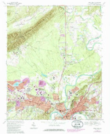
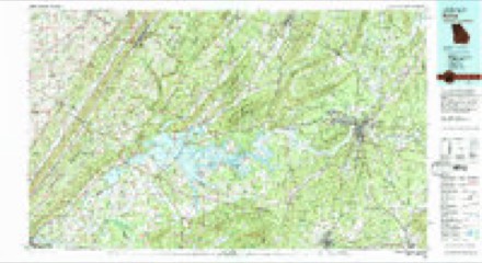
18 topographic sheets cover this place, the earliest surveyed in 1886 and the latest in 1981. It stands in the Rome census division. It lies in ZIP code area 30165. The Survey maps it on the Rome North quadrangle.
Topographic sheets covering this place
10 surveys from 18 printed sheetsMatched by testing this settlement's coordinate against the published boundary of every sheet in the United States Geological Survey's historical collection. Each opens the scanned sheet at the Survey.
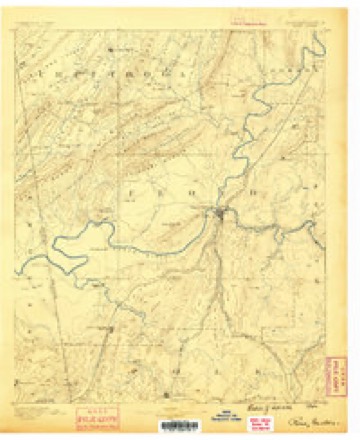
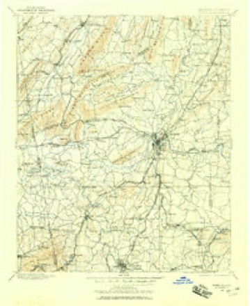
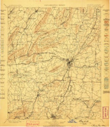
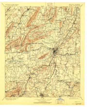
- 1886 USGS Rome quadrangle1:125000
- 1898 USGS Rome quadrangle1:125000
- 1899 USGS Rome quadrangle1:125000
- 1904 USGS Rome quadrangle1:125000, 4 printings
- 1955 USGS Rome quadrangle1:250000
- 1958 USGS Rome quadrangle1:250000, 3 printings
- 1961 USGS Rome quadrangle1:250000
- 1963 USGS Rome quadrangle1:250000
- 1967 USGS Rome North quadrangle1:24000, 3 printings
- 1981 USGS Rome quadrangle1:100000, 2 printings




Fires near this place
218 since 1992Regional context, not property-specific evidence. The federal wildfire occurrence database lists 218 fires within 5 miles of Garden Lakes between 1992 and 2019, burning about 770 acres in total. 7 started naturally. 84 were recorded as arson. Distance is straight-line from the map coordinates, so a fire counted here may appear on a neighbouring settlement's page as well.
| Reported cause | Fires |
|---|---|
| Arson/incendiarism | 84 |
| Debris and open burning | 81 |
| Recreation and ceremony | 12 |
| Missing data/not specified/undetermined | 10 |
| Misuse of fire by a minor | 10 |
| Equipment and vehicle use | 9 |
| Natural | 7 |
| Smoking | 5 |
The most recent of them, most recent first, with the day each was reported and the service that recorded it.
| Date | Cause | Size | Reported by | Name on the report |
|---|---|---|---|---|
| 6 September 2004 | Arson/incendiarism | under an acre | Georgia Forestry Commission | not named |
| 6 September 2004 | Debris and open burning | under an acre | Georgia Forestry Commission | not named |
| 6 September 2004 | Arson/incendiarism | under an acre | Georgia Forestry Commission | not named |
| 30 September 2016 | Debris and open burning | under an acre | Georgia Forestry Commission | FY2017-FLOYD-018 |
| 30 September 1997 | Debris and open burning | 2.5 acres | Georgia Forestry Commission | not named |
| 3 September 2002 | Arson/incendiarism | 1.5 acres | Georgia Forestry Commission | FY2003-FLOYD-007 |
| 27 September 2014 | Debris and open burning | 1.8 acres | Georgia Forestry Commission | FY2015-FLOYD-005 |
| 27 September 2014 | Debris and open burning | 1.7 acres | Georgia Forestry Commission | FY2015-FLOYD-006 |
Settlements close enough to share some of these fires:
Mines and quarries near this place
7 within 5 milesRegional context, not property-specific evidence. The federal mineral resources record lists 7 workings within 5 miles of Garden Lakes: 3 past producers, 2 producers, 2 unknowns. 2 still produce. What was taken out: Clay, Aluminum, Iron, Stone, Crushed/Broken. Distance is straight-line from the map coordinates, so a quarry counted here may appear on a neighbouring settlement's page as well.
| Where | Site | Commodity | Status | Recorded |
|---|---|---|---|---|
| Barnsley Mines | Aluminum | Past Producer | ||
| Rome Quarry Fla Rock Indus | Stone, Crushed/Broken | Producer | ||
| Unnamed | Iron | Unknown | ||
| Berry School Shale Pit | Clay | Past Producer | ||
| Bickerstaff Clay Products | Clay | Unknown | ||
| Martin Mine | Clay | Producer | ||
| Rome City Shale Quarry | Clay | Past Producer |
Storms near this place
22 since 2010Regional context, not property-specific evidence. The National Weather Service names Garden Lakes in 22 storm reports between 2010 and 2026: 17 thunderstorm wind, 4 flash flood, 1 lightning. No death or injury is recorded in these reports. Each account below is quoted exactly as the forecast office filed it, from the NOAA Storm Events Database, and each date opens the federal record of that event.
| When | Event | Place named | Harm | What the report says |
|---|---|---|---|---|
| June 2010 | Lightning | Garden Lakes | $30,000 | The Rome News Tribune reported that lightning struck a tree adjacent to a home on Brookwood Avenue in northwest Rome. The tree fell on the home causing the laundry room to cave in. |
| July 2023 | Flash Flood | Garden Lakes | $20,000 | The Emergency Manager reported a home flooded along the 300 block of Greenwood Avenue due to floodwaters from an overwhelmed storm drain. Radar estimates indicate that between 3.5 and 4.5 inches of rain occurred over the area, resulting in the flash flooding. |
| June 2018 | Thunderstorm Wind | Garden Lakes | $20,000 | The Floyd County Emergency Manager and the 911 center reported multiple trees snapped which brought down powerlines off Westhaven Drive, west of Rome. An RV Camper was also damaged at this location. |
| March 2017 | Thunderstorm Wind | Garden Lakes | $20,000 | The Floyd County Emergency Manager reported several large trees blown down in and around Rome including one on the grounds of the NWGHA high rise, a tree donw on a house on Armstrong Avenue and a tree down on a trailer in Cherokee Acres. |
| August 2019 | Thunderstorm Wind | Garden Lakes | $15,000 | The Floyd County 911 center reported numerous trees and several power lines blown down across the western half of the county from near Rome to north of Cave Spring. Some locations included Park Avenue SE, Salem Drive NW, Pinecrest Drive NW, Barker Road SW, Blacks Bluff Road SW near the intersection with Livingston Road SW, and Blacks Bluff Road SW near Fosters Mill Road SW. |
| May 2013 | Flash Flood | Garden Lakes | $15,000 | The emergency manager reported numerous drainage branches and small creeks in the Rome area overflowed their banks. This affected low lying portions of 15 roads which caused temporary road closures. |
| April 2017 | Thunderstorm Wind | Garden Lakes | $12,000 | The Floyd County Emergency Manager reported numerous trees and power lines blown down from Garrard Avenue NW to Darlington Way SW. |
| June 2017 | Thunderstorm Wind | Garden Lakes | $10,000 | The Floyd County Emergency Manager reported numerous trees blown down across north Rome from Technology Parkway to Robin Street and Mahogany Street. |
| May 2019 | Thunderstorm Wind | Garden Lakes | $8,000 | Dispatch reported multiple power lines down along Bent Creek Drive, just northwest of Rome. |
| June 2016 | Thunderstorm Wind | Garden Lakes | $8,000 | A trained spotter reported an aluminum carport blown from its footings and tossed several yards away. |
| June 2015 | Thunderstorm Wind | Garden Lakes | $7,000 | The Floyd County Emergency Manager reported trees blown down onto power lines on Harrison road. |
| April 2023 | Thunderstorm Wind | Garden Lakes | $3,000 | Reports of multiple trees down along Technology Pkwy. |
| March 2026 | Thunderstorm Wind | Garden Lakes | $2,000 | Emergency call center reported two trees down on west side of Rome near Highland Boulevard and Horseleg Creek Rd. |
| March 2021 | Thunderstorm Wind | Garden Lakes | $2,000 | The Floyd County Emergency Manager reported a few trees blown down along Burnett Ferry Road near the Alto Park Recreation Center. |
| July 2024 | Thunderstorm Wind | Garden Lakes | $1,000 | Tree down at Burnett Circle SW and Burnett Ferry Road SW. |
| April 2023 | Thunderstorm Wind | Garden Lakes | $1,000 | Report of tree down across Barker Rd. |
| June 2023 | Thunderstorm Wind | Garden Lakes | $1,000 | Tree down near intersection of Gray Rock Rd NW and Green Leaf Trail. |
| August 2023 | Thunderstorm Wind | Garden Lakes | $1,000 | Tree down in 100 block of Rollingwood Circle. |
| April 2023 | Thunderstorm Wind | Garden Lakes | - | Report of powerlines down at Mathis Dr and Longmeadow Dr. |
| March 2023 | Thunderstorm Wind | Garden Lakes | - | Report of a barn collapse along Avery Rd. |
| July 2021 | Flash Flood | Garden Lakes | - | The Emergency Manager reported the closure of Garden Lakes Parkway near Beech Creek due to flooding. Radar estimates indicate that 1 to 2.5 inches of rain fell over the area, on top of the 1 to 3 inches that fell the day prior. These amounts, falling on the already saturated soils, produced flash flooding. |
| April 2020 | Flash Flood | Garden Lakes | - | The Emergency Manager reported that Albion Drive was closed due to flooding from a tributary downstream of the Rices Springs Lake dam. Radar estimates indicate that 2 to 3 inches of rain occurred quickly over the area, causing the flash flooding. |
Nearest settlements
The eight closest, with where each one stands in the county. Distances are straight-line, computed from the Geographic Names Information System coordinates.
| Map | Place | Distance | Sheets |
|---|---|---|---|
| West Rome | 0.7 miles | 18 | |
| Huffaker | 0.8 miles | 18 | |
| Rollingwood | 1.2 miles | 17 | |
| Cherokee Acres | 1.4 miles | 18 | |
| Beech Creek Homes | 1.5 miles | 17 | |
| Westwood | 1.5 miles | 18 | |
| Sunset Acres | 1.7 miles | 18 | |
| Fair Oaks | 1.8 miles | 18 |
Elsewhere
Matched on this settlement's Geographic Names Information System number rather than its name, so it cannot be a different place of the same name in another state.
| Wikidata item Q122542107 | The structured record the population and elevation above come from. Public domain (CC0). |
Provenance
This settlement is recorded in the Geographic Names Information System as feature 353690. The sheet list is computed by point-in-boundary test against the United States Geological Survey's historical topographic inventory. Both are works of the United States government and carry no copyright under 17 U.S.C. 105.
Wildfire. Short, Karen C. 2022. Spatial wildfire occurrence data for the United States, 1992-2020 [FPA_FOD_20221014]. 6th Edition. Fort Collins, CO: Forest Service Research Data Archive. https://doi.org/10.2737/RDS-2013-0009.6 Collected with United States Government funding and usable without additional permissions or fees.
Mines and quarries. USGS Mineral Resources Data System (MRDS) https://mrdata.usgs.gov/mrds/ A work of the United States government, no copyright under 17 U.S.C. 105.
Storms. NOAA National Centers for Environmental Information, Storm Events Database https://www.ncei.noaa.gov/stormevents/ A work of the United States government, no copyright under 17 U.S.C. 105. Narratives are quoted verbatim from the National Weather Service report and are not edited or summarised.