 Block
Gloster, Georgia
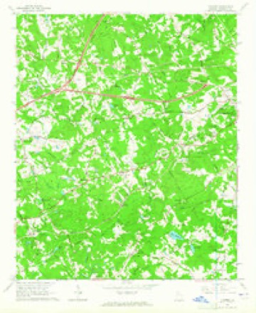
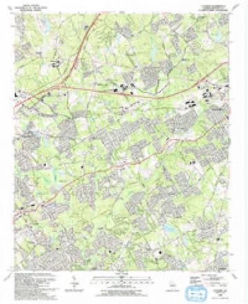
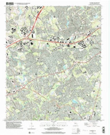
21 topographic sheets cover this place, the earliest surveyed in 1888 and the latest in 1999. It stands in the Lawrenceville census division. It lies in ZIP code area 30044. It stands on Pew Creek. The Survey maps it on the Luxomni quadrangle.
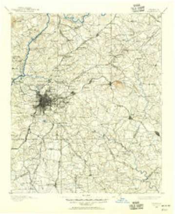
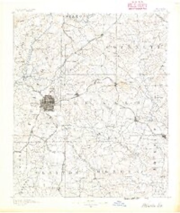
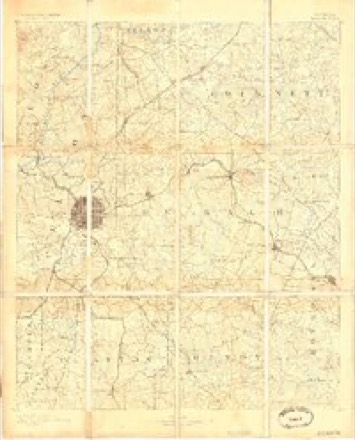
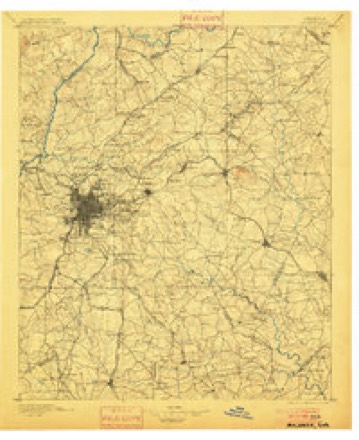
Topographic sheets covering this place
11 surveys from 21 printed sheetsMatched by testing this settlement's coordinate against the published boundary of every sheet in the United States Geological Survey's historical collection. Each opens the scanned sheet at the Survey.
- 1888 USGS Atlanta quadrangle1:125000
- 1890 USGS Atlanta quadrangle1:125000
- 1892 USGS Atlanta quadrangle1:125000
- 1895 USGS Atlanta quadrangle1:125000, 7 printings
- 1953 USGS Atlanta quadrangle1:250000, 2 printings
- 1957 USGS Atlanta quadrangle1:250000
- 1958 USGS Atlanta quadrangle1:250000
- 1963 USGS Luxomni quadrangle1:24000, 4 printings
- 1981 USGS Atlanta quadrangle1:100000
- 1992 USGS Luxomni quadrangle1:24000
- 1999 USGS Luxomni quadrangle1:24000




Fires near this place
79 since 1992Regional context, not property-specific evidence. The federal wildfire occurrence database lists 79 fires within 5 miles of Gloster between 1992 and 2017, burning about 205 acres in total. None started naturally. 39 were recorded as arson. Distance is straight-line from the map coordinates, so a fire counted here may appear on a neighbouring settlement's page as well.
| Reported cause | Fires |
|---|---|
| Arson/incendiarism | 39 |
| Debris and open burning | 13 |
| Misuse of fire by a minor | 11 |
| Recreation and ceremony | 5 |
| Missing data/not specified/undetermined | 4 |
| Smoking | 3 |
| Equipment and vehicle use | 3 |
| Railroad operations and maintenance | 1 |
The most recent of them, most recent first, with the day each was reported and the service that recorded it.
| Date | Cause | Size | Reported by | Name on the report |
|---|---|---|---|---|
| 9 September 1993 | Arson/incendiarism | under an acre | Georgia Forestry Commission | not named |
| 9 September 1993 | Arson/incendiarism | under an acre | Georgia Forestry Commission | not named |
| 8 September 1993 | Arson/incendiarism | under an acre | Georgia Forestry Commission | not named |
| 7 September 1993 | Arson/incendiarism | under an acre | Georgia Forestry Commission | not named |
| 22 August 1993 | Arson/incendiarism | 14 acres | Georgia Forestry Commission | not named |
| 2 August 1995 | Debris and open burning | under an acre | Georgia Forestry Commission | not named |
| 16 August 1995 | Arson/incendiarism | under an acre | Georgia Forestry Commission | not named |
| 4 July 1996 | Recreation and ceremony | under an acre | Georgia Forestry Commission | not named |
Settlements close enough to share some of these fires:
Storms near this place
15 since 2003Regional context, not property-specific evidence. The National Weather Service names Gloster in 15 storm reports between 2003 and 2024: 10 thunderstorm wind, 3 lightning, 2 hail. No death or injury is recorded in these reports. Each account below is quoted exactly as the forecast office filed it, from the NOAA Storm Events Database, and each date opens the federal record of that event.
| When | Event | Place named | Harm | What the report says |
|---|---|---|---|---|
| July 2010 | Lightning | Gloster | $150,000 | The Gwinnett County Emergency Management Director reported that lightning struck a two-story wood frame home on Mill Bend Drive in Lawrenceville. Firefighters found the attic and a bedroom on fire when they arrived. |
| August 2010 | Lightning | Gloster | $100,000 | The Gwinnett Daily Post reported that lightning struck the chimney of a home on Congress Parkway in Lawrenceville. The chimney suffered moderate damage and a subsequent fire caused damage to the first and second floors of the home, mostly from smoke. |
| June 2018 | Thunderstorm Wind | Gloster | $50,000 | The local broadcast media reported several trees blown down in the Lawrenceville area. One tree fell onto a house on Garden Grove Drive causing extensive damage and another fell onto a house on Sydney Pond Circle causing a hole in the roof. No injuries were reported at either location. |
| August 2009 | Thunderstorm Wind | Gloster | $50,000 | WSB Television of Atlanta reported at least seven trees were down in the Lawrenceville and Grayson areas as a small, yet intense, thunderstorm moved through that area. A home on Oak Ridge Way in Lawrenceville suffered extensive damage when a tree fell on the structure. At least six trees were down in the vicinity of Birch Lane in Lawrenceville. |
| August 2021 | Thunderstorm Wind | Gloster | $30,000 | The Gwinnett County Emergency Manager reported numerous trees blown down across the north and west side of Lawrenceville. Several trees fell onto a home and vehicles on Stone Forest Drive near Tyler Trace. No injuries were reported. |
| September 2009 | Lightning | Gloster | $25,000 | The Atlanta Journal-Constitution reported that lightning struck a home in the 2700 block of Maple Vista Lane. The resulting fire caused minor damage to the structure. |
| July 2017 | Thunderstorm Wind | Gloster | $15,000 | The Gwinnett County Emergency Manager reported a tree blown down on a house on Canterbury Court. No injuries were reported. |
| June 2016 | Thunderstorm Wind | Gloster | $10,000 | An amateur radio operator reported trees and power lines blown down on Bethesda Church Road north of the Ronald Reagan Parkway. |
| June 2018 | Thunderstorm Wind | Gloster | $4,000 | The public reported several trees blown down from Five Forks Trickum Road to Moon Place Road. |
| July 2018 | Thunderstorm Wind | Gloster | $3,000 | The Gwinnett County Emergency Manager reported a tree blown down in a yard of a home on Hidden Lake Drive. The tree brought down power lines, damaging the siding of the house where the power line entered the house. |
| July 2024 | Thunderstorm Wind | Gloster | $1,000 | Tree down on roadway at Old Norcross Road and Oakland Road. |
| April 2017 | Thunderstorm Wind | Gloster | $1,000 | The Gwinnett County Emergency Manager reported a tree blown down near the intersection of Castle Drive and Gloster Road. |
| January 2023 | Thunderstorm Wind | Gloster | - | Report of tree on building near intersection of Lawrenceville Hwy and Amberwood Dr NW. |
| April 2021 | Hail | Gloster | - | The public reported hail the size of quarters at Emerald Forest Circle SW and Five Forks Trickum Road SW. |
| May 2003 | Hail | Gloster | - | The public reported quarter-sized hail. |
Nearest settlements
The eight closest, with where each one stands in the county. Distances are straight-line, computed from the Geographic Names Information System coordinates.
| Map | Place | Distance | Sheets |
|---|---|---|---|
| Ansley Brook | 0.5 miles | 21 | |
| Coopers Pond | 0.6 miles | 21 | |
| River Bridge | 0.7 miles | 21 | |
| Sweet Water | 1.1 miles | 21 | |
| Cricket Hill | 1.1 miles | 21 | |
| Bethesda | 1.3 miles | 21 | |
| Emerald Forest | 1.3 miles | 21 | |
| River Oak | 1.5 miles | 21 |
Elsewhere
Matched on this settlement's Geographic Names Information System number rather than its name, so it cannot be a different place of the same name in another state.
| Wikipedia article on Gloster | An encyclopaedic summary. Its text is share-alike, so it is linked here rather than copied. |
| Wikidata item Q60767447 | The structured record the population and elevation above come from. Public domain (CC0). |
Provenance
This settlement is recorded in the Geographic Names Information System as feature 331822. The sheet list is computed by point-in-boundary test against the United States Geological Survey's historical topographic inventory. Both are works of the United States government and carry no copyright under 17 U.S.C. 105.
Wildfire. Short, Karen C. 2022. Spatial wildfire occurrence data for the United States, 1992-2020 [FPA_FOD_20221014]. 6th Edition. Fort Collins, CO: Forest Service Research Data Archive. https://doi.org/10.2737/RDS-2013-0009.6 Collected with United States Government funding and usable without additional permissions or fees.
Storms. NOAA National Centers for Environmental Information, Storm Events Database https://www.ncei.noaa.gov/stormevents/ A work of the United States government, no copyright under 17 U.S.C. 105. Narratives are quoted verbatim from the National Weather Service report and are not edited or summarised.