 Block
Hickory Flat, Georgia
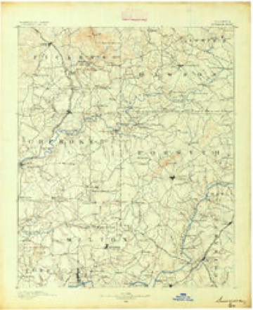
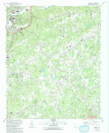
20 topographic sheets cover this place, the earliest surveyed in 1890 and the latest in 1992. It stands in the Holly Springs census division. It lies in ZIP code area 30115. The Survey maps it on the Canton quadrangle.
Topographic sheets covering this place
9 surveys from 20 printed sheetsMatched by testing this settlement's coordinate against the published boundary of every sheet in the United States Geological Survey's historical collection. Each opens the scanned sheet at the Survey.
- 1890 USGS Suwanee quadrangle1:125000
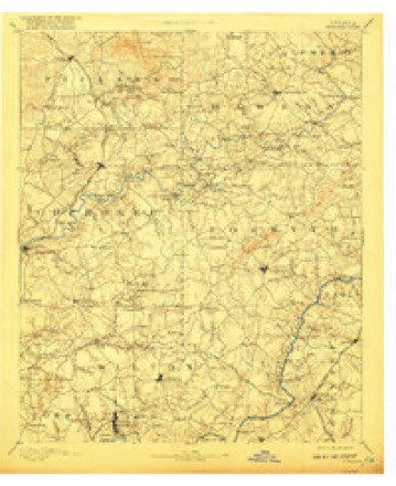
- 1894 USGS Suwanee quadrangle1:125000, 6 printings
- 1955 USGS Rome quadrangle1:250000
- 1958 USGS Rome quadrangle1:250000, 3 printings
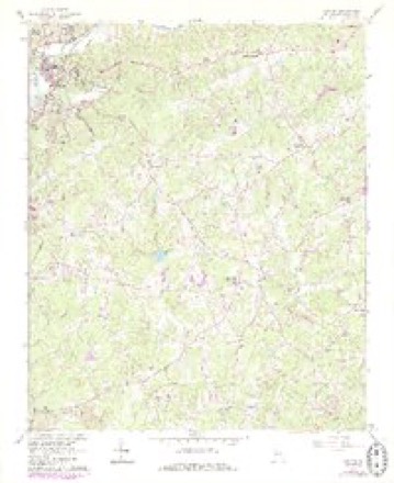
- 1961 USGS Canton quadrangle1:24000, 4 printings
- 1961 USGS Rome quadrangle1:250000
- 1963 USGS Rome quadrangle1:250000
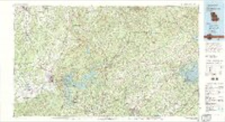
- 1981 USGS Cartersville quadrangle1:100000, 2 printings
- 1992 USGS Canton quadrangle1:24000




Fires near this place
295 since 1992Regional context, not property-specific evidence. The federal wildfire occurrence database lists 295 fires within 5 miles of Hickory Flat between 1992 and 2019, burning about 459 acres in total. 5 started naturally. 60 were recorded as arson. Distance is straight-line from the map coordinates, so a fire counted here may appear on a neighbouring settlement's page as well.
| Reported cause | Fires |
|---|---|
| Debris and open burning | 145 |
| Arson/incendiarism | 60 |
| Railroad operations and maintenance | 26 |
| Misuse of fire by a minor | 16 |
| Missing data/not specified/undetermined | 15 |
| Equipment and vehicle use | 15 |
| Smoking | 8 |
| Recreation and ceremony | 5 |
| Natural | 5 |
The most recent of them, most recent first, with the day each was reported and the service that recorded it.
| Date | Cause | Size | Reported by | Name on the report |
|---|---|---|---|---|
| 8 September 1997 | Debris and open burning | under an acre | Georgia Forestry Commission | not named |
| 5 September 1997 | Debris and open burning | under an acre | Georgia Forestry Commission | not named |
| 29 September 1997 | Arson/incendiarism | under an acre | Georgia Forestry Commission | not named |
| 29 September 1997 | Arson/incendiarism | under an acre | Georgia Forestry Commission | not named |
| 27 September 1997 | Arson/incendiarism | under an acre | Georgia Forestry Commission | not named |
| 25 September 2004 | Missing data/not specified/undetermined | under an acre | Georgia Forestry Commission | not named |
| 22 September 1999 | Debris and open burning | under an acre | Georgia Forestry Commission | not named |
| 22 September 1998 | Debris and open burning | under an acre | Georgia Forestry Commission | not named |
Settlements close enough to share some of these fires:
Mines and quarries near this place
10 of 15 shownRegional context, not property-specific evidence. The federal mineral resources record lists 15 workings within 5 miles of Hickory Flat: 11 past producers, 4 prospects. None of them still produces. What was taken out: Gold, Mica. Distance is straight-line from the map coordinates, so a quarry counted here may appear on a neighbouring settlement's page as well.
| Where | Site | Commodity | Status | Recorded |
|---|---|---|---|---|
| Cook Mine | Mica | Past Producer | ||
| J B Wheeler Prospect | Mica | Prospect | ||
| R M Reece Prospect | Mica | Prospect | ||
| Wacaster Mine | Mica | Past Producer | ||
| Bailey Property | Gold | Past Producer | 1840 | |
| Chester (Turner) Prospect | Gold | Past Producer | Vein | |
| Davis Mine (Owl Hollow) | Gold | Past Producer | Vein | |
| Mcgill | Gold | Prospect | Vein | |
| Morgan | Gold | Prospect | Placer | |
| Rudicil Mine | Gold | Past Producer | Stream Placer |
Storms near this place
13 since 1997Regional context, not property-specific evidence. The National Weather Service names Hickory Flat in 13 storm reports between 1997 and 2026: 8 thunderstorm wind, 2 hail, 1 lightning, 1 tornado. The reports record 1 death. Each account below is quoted exactly as the forecast office filed it, from the NOAA Storm Events Database, and each date opens the federal record of that event.
| When | Event | Place named | Harm | What the report says |
|---|---|---|---|---|
| July 2024 | Thunderstorm Wind | Hickory Flat | 1 killed, $1,000 | Tree down on vehicle along Vaughn Road, 0.2 miles south of Millstone Way. |
| April 2000 | Tornado (F1) | Hickory Flat | $1,100,000 | A survey by the Cherokee County Emergency Management Agency and a National Weather Service Disaster Survey Team showed that an F0 - F1 tornado traveled along a path almost 7 miles long through southeast Cherokee county. The damage path began just west of the intersection of Highway 140 and Pinyan Rd. It crossed the intersection of East Cherokee Dr. and Bart Manous Road, where it was 252 feet wide. It then tracked northeast across Thomas Road, where it was 500 feet wide, across Union Hill Road where it was 590 feet wide, and ended 204 yards north of Collect Drive where it was 235 feet wide. Almost 30 homes were hit, with 3 houses sustaining extensive damage, and nine outbuildings were destroyed. Large trees were uprooted along the path and 7 roads in the county had to be closed because of fallen trees and debris. Total estimated damage was $1.1 million. |
| May 1997 | Lightning | Hickory Flat | $60,000 | The owner of the house reported seeing smoke and then fire in an electrical outlet shortly after an electrical storm passed through the area. The fire spread through the living room and garage. Extensive damage was caused by a delayed explosion which firefighters believed was the result of mixing magnesium (common in motors of lawn mowers) and water. |
| August 2016 | Thunderstorm Wind | Hickory Flat | $25,000 | The Cherokee County Emergency Manager reported numerous trees and some power lines blown down across southeastern portions of the county. Some locations include Gaddis Road at Arbor Hill Road, East Cherokee Drive at Epperson Road, Creek Hollow Drive at Neil Court and Liberty Grove Road at Union Hill Road. |
| March 2026 | Thunderstorm Wind | Hickory Flat | $20,000 | Em reported multiple trees down along tamarack trail near canton. One tree fell on a house with pictures showing significant damage to a home. No injuries reported. |
| July 2015 | Thunderstorm Wind | Hickory Flat | $20,000 | The Cherokee County Emergency Manager reported numerous trees down across the county. One tree fell on a house on Wilkie Road. Trees were also blown down on Union Hill Road, Land Road and on Birmingham Highway. Power lines were blown down on Fields landing Drive. |
| December 2005 | Hail | Hickory Flat | $15,000 | The public reported golf ball-sized hail in Woodstock and quarter-sized hail on the south side of Canton near Hickory Flat. |
| June 2025 | Thunderstorm Wind | Hickory Flat | $3,000 | The Emergency Manager relayed a report of several trees down at Little Road and Vaughn Road. |
| July 2004 | Thunderstorm Wind | Hickory Flat | $3,000 | A trained spotter reported that numerous large limbs and several trees, some around six inches in diameter, were down along the road and in the yards of some homes in the Carmichael Crossroads to Union Hill area northeast of Georgia Highway 140 at Hickory Flat. |
| April 2023 | Thunderstorm Wind | Hickory Flat | $1,000 | Report of trees down at Hickory Flat Hwy and Charles Cox Dr. |
| March 2026 | Thunderstorm Wind | Hickory Flat | - | Public reported damage to roof, fence and outdoor furniture at a location near hickory road and stringer road. |
| February 2020 | Flash Flood | Hickory Flat | - | The Emergency Manager reported high flow on the Little River inundated a bridge on Clarity Road. Radar estimates indicate that 3 to 5 inches of rain occurred over the area, falling on already wet soils and resulting in flash flooding. |
| April 2011 | Hail | Hickory Flat | - | Several reports of quarter-sized hail were received from the public and the Cherokee County Emergency Management Director from Union Hill, in the southeast part of Cherokee county, north-northeastward to east of Buffington, near Lathemtown, northward to approximately 3 miles north-northwest of Lathemtown. |
Nearest settlements
The eight closest, with where each one stands in the county. Distances are straight-line, computed from the Geographic Names Information System coordinates.
| Map | Place | Distance | Sheets |
|---|---|---|---|
| Avery | 1.8 miles | 20 | |
| Batesville | 2.4 miles | 20 | |
| Union Hill | 2.8 miles | 20 | |
| Carmichael Crossroads | 3.2 miles | 20 | |
| Hunters Mill | 3.7 miles | 23 | |
| Bluff Creek | 3.7 miles | 23 | |
| Creek Hollow South | 3.8 miles | 23 | |
| Tomahawk | 3.8 miles | 23 |
Elsewhere
Matched on this settlement's Geographic Names Information System number rather than its name, so it cannot be a different place of the same name in another state.
| Wikipedia article on Hickory Flat | An encyclopaedic summary. Its text is share-alike, so it is linked here rather than copied. |
| Wikidata item Q5751144 | The structured record the population and elevation above come from. Public domain (CC0). |
Provenance
This settlement is recorded in the Geographic Names Information System as feature 315361. The sheet list is computed by point-in-boundary test against the United States Geological Survey's historical topographic inventory. Both are works of the United States government and carry no copyright under 17 U.S.C. 105.
Wildfire. Short, Karen C. 2022. Spatial wildfire occurrence data for the United States, 1992-2020 [FPA_FOD_20221014]. 6th Edition. Fort Collins, CO: Forest Service Research Data Archive. https://doi.org/10.2737/RDS-2013-0009.6 Collected with United States Government funding and usable without additional permissions or fees.
Mines and quarries. USGS Mineral Resources Data System (MRDS) https://mrdata.usgs.gov/mrds/ A work of the United States government, no copyright under 17 U.S.C. 105.
Storms. NOAA National Centers for Environmental Information, Storm Events Database https://www.ncei.noaa.gov/stormevents/ A work of the United States government, no copyright under 17 U.S.C. 105. Narratives are quoted verbatim from the National Weather Service report and are not edited or summarised.