 Block
Kenwood, Georgia
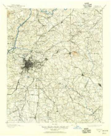
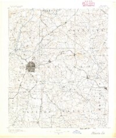
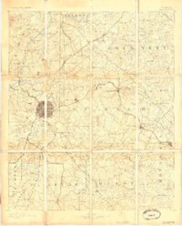
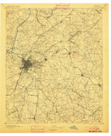
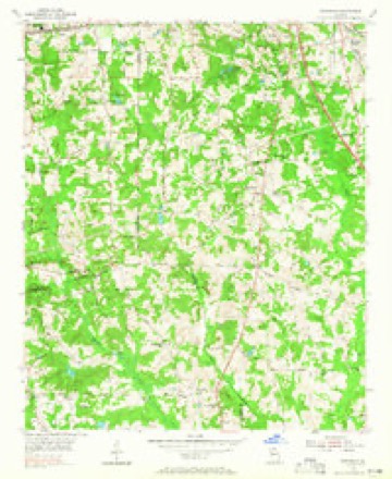
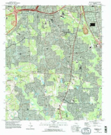
21 topographic sheets cover this place, the earliest surveyed in 1888 and the latest in 1993. It stands in the Fayetteville census division. It lies in ZIP code area 30214. The Survey maps it on the Riverdale quadrangle.
Topographic sheets covering this place
10 surveys from 21 printed sheetsMatched by testing this settlement's coordinate against the published boundary of every sheet in the United States Geological Survey's historical collection. Each opens the scanned sheet at the Survey.
- 1888 USGS Atlanta quadrangle1:125000
- 1890 USGS Atlanta quadrangle1:125000
- 1892 USGS Atlanta quadrangle1:125000
- 1895 USGS Atlanta quadrangle1:125000, 7 printings
- 1953 USGS Atlanta quadrangle1:250000, 2 printings
- 1954 USGS Riverdale quadrangle1:24000, 5 printings
- 1957 USGS Atlanta quadrangle1:250000
- 1958 USGS Atlanta quadrangle1:250000
- 1981 USGS Atlanta quadrangle1:100000
- 1993 USGS Riverdale quadrangle1:24000




Fires near this place
103 since 1992Regional context, not property-specific evidence. The federal wildfire occurrence database lists 103 fires within 5 miles of Kenwood between 1992 and 2019, burning about 196 acres in total. 1 started naturally. 44 were recorded as arson. Distance is straight-line from the map coordinates, so a fire counted here may appear on a neighbouring settlement's page as well.
| Reported cause | Fires |
|---|---|
| Arson/incendiarism | 44 |
| Debris and open burning | 28 |
| Misuse of fire by a minor | 16 |
| Recreation and ceremony | 7 |
| Smoking | 3 |
| Equipment and vehicle use | 2 |
| Missing data/not specified/undetermined | 2 |
| Natural | 1 |
The most recent of them, most recent first, with the day each was reported and the service that recorded it.
| Date | Cause | Size | Reported by | Name on the report |
|---|---|---|---|---|
| 9 September 2019 | Recreation and ceremony | 1.0 acres | Georgia Forestry Commission | FY2020FAYETTE001 |
| 8 September 1997 | Arson/incendiarism | under an acre | Georgia Forestry Commission | not named |
| 2 September 1997 | Arson/incendiarism | 8.6 acres | Georgia Forestry Commission | not named |
| 29 August 1993 | Arson/incendiarism | under an acre | Georgia Forestry Commission | not named |
| 22 August 1993 | Arson/incendiarism | under an acre | Georgia Forestry Commission | not named |
| 1 August 1995 | Arson/incendiarism | under an acre | Georgia Forestry Commission | not named |
| 8 July 1995 | Misuse of fire by a minor | 1.2 acres | Georgia Forestry Commission | not named |
| 8 July 1993 | Debris and open burning | under an acre | Georgia Forestry Commission | not named |
Settlements close enough to share some of these fires:
Storms near this place
14 since 1999Regional context, not property-specific evidence. The National Weather Service names Kenwood in 14 storm reports between 1999 and 2025: 9 thunderstorm wind, 3 lightning, 1 hail, 1 heavy rain. No death or injury is recorded in these reports. Each account below is quoted exactly as the forecast office filed it, from the NOAA Storm Events Database, and each date opens the federal record of that event.
| When | Event | Place named | Harm | What the report says |
|---|---|---|---|---|
| May 2011 | Lightning | Kenwood | $250,000 | The Fayette County 911 Center reported that lightning struck a home in Newton Plantation in far north Fayette county near the Clayton county line, just south of the intersection of Georgia Highway 314 and Georgia Highway 138. The home was set on fire and sustained at least moderate damage. |
| June 1999 | Thunderstorm Wind | Kenwood | $175,000 | Severe thunderstorm winds began causing damage in northern Fayette county around 8 PM local time, where there was damge to a house and trees were down. The storm produced damage south along highway 85 and in Fayetteville, where most of the damage occurred. Roofs were torn off buildings, trees were uprooted and fell onto cars, and power lines were strewn over roads and yards. One woman was trapped in her car as debris from a roof fell onto her vehicle and power lines were downed around the scene. She was not injured. A church on Courthouse Square in Fayetteville was hit by a falling tree as well. The face of the clock tower on the square was cracked slightly. Roof damage to the Fayetteville pharmacy was estimated at $55,000 to $65,000, with another $15,000 damage inside the store. The computer store next door suffered water damage due to a damaged roof allowing water to leak in. Two Fayetteville police officers reported seeing a funnel cloud north of Fayetteville. |
| July 2004 | Lightning | Kenwood | $100,000 | The Citizen newspaper of Fayette county reported that lightning struck Evander Holyfield's guest house off Georgia Highway 279 near the Clayton county line, setting it on fire and causing an estimated $80,000 in damage. In another incident, ongoing simultaneously, lightning struck a home on Westbridge Road and set the attic on fire. |
| June 2010 | Lightning | Kenwood | $47,500 | The Fayette County Emergency Management Director reported that six lightning strike incidents occurred during evening thunderstorms. No damage was reported with two of the lightning strikes. On Brogdon Road, north of Fayetteville, a storage shed was struck causing $2500 in damages. On Deer Cove, just north of Fayetteville, lightning struck a home and resulted in $5000 in damages. In downtown Fayetteville on Church Street, a church was struck resulting in $30,000 in damages to the structure. Finally, on Shamrock Drive, just south of Fayetteville, a home suffered $5000 in damages from a lightning strike. |
| June 2017 | Thunderstorm Wind | Kenwood | $5,000 | The Fayette County 911 center reported trees blown around the intersection of Westbridge Road and Old Ford Road as well as on Kenwood Road near Thornton Road. Multiple powerlines were reported down in the area as well. |
| July 2024 | Thunderstorm Wind | Kenwood | $3,000 | Several trees down on powerlines at Brogdon and New Hope Road. |
| August 2023 | Thunderstorm Wind | Kenwood | $3,000 | Several trees down near Thornton Dr and Kenwood Rd. |
| July 2024 | Thunderstorm Wind | Kenwood | $1,000 | Utility wires were downed on Westbridge Rd near Old Jonesboro Rd. |
| July 2024 | Thunderstorm Wind | Kenwood | $1,000 | Wires were downed on Magmar Lane . |
| August 2023 | Thunderstorm Wind | Kenwood | $1,000 | Trees down near Kenwood Rd and New Hope Rd. |
| July 2005 | Thunderstorm Wind | Kenwood | $500 | The Fayette County 911 Center reported that a couple of trees were blown down in the northeast part of the county. |
| June 2025 | Thunderstorm Wind | Kenwood | - | Public reported a tree down on a house on Wilmington Lane. |
| June 2017 | Heavy Rain | Kenwood | - | The USGS precipitation gage located at the Morningside Creek on Westbridge Road in north Fayetteville, reported 5.79 inches of rain for the 24-hour period ending at 9:30 PM EST. |
| July 2002 | Hail | Kenwood | - | An amateur radio operator reported dime size hail at the intersection of Georgia Highways 314 and 279. |
Nearest settlements
The eight closest, with where each one stands in the county. Distances are straight-line, computed from the Geographic Names Information System coordinates.
| Map | Place | Distance | Sheets |
|---|---|---|---|
| Gamma | 0.3 miles | 21 | |
| Carnegie Place | 0.5 miles | 21 | |
| Kenwood Forest | 0.7 miles | 21 | |
| Morning Creek Estates | 0.8 miles | 21 | |
| Helmer | 1.0 miles | 21 | |
| North Fayette Estates | 1.1 miles | 21 | |
| Princeton Chase | 1.3 miles | 21 | |
| Bethesda Woods South | 1.4 miles | 21 |
Elsewhere
Matched on this settlement's Geographic Names Information System number rather than its name, so it cannot be a different place of the same name in another state.
| Wikipedia article on Kenwood | An encyclopaedic summary. Its text is share-alike, so it is linked here rather than copied. |
| Wikidata item Q6392497 | The structured record the population and elevation above come from. Public domain (CC0). |
Provenance
This settlement is recorded in the Geographic Names Information System as feature 332142. The sheet list is computed by point-in-boundary test against the United States Geological Survey's historical topographic inventory. Both are works of the United States government and carry no copyright under 17 U.S.C. 105.
Wildfire. Short, Karen C. 2022. Spatial wildfire occurrence data for the United States, 1992-2020 [FPA_FOD_20221014]. 6th Edition. Fort Collins, CO: Forest Service Research Data Archive. https://doi.org/10.2737/RDS-2013-0009.6 Collected with United States Government funding and usable without additional permissions or fees.
Storms. NOAA National Centers for Environmental Information, Storm Events Database https://www.ncei.noaa.gov/stormevents/ A work of the United States government, no copyright under 17 U.S.C. 105. Narratives are quoted verbatim from the National Weather Service report and are not edited or summarised.