 Block
From the record
4 National Register listings published here.
Sources: the National Register database, National Park Service
47 topographic sheets and 2 fire insurance atlases across 1 place.
4 National Register listings published here.
Sources: the National Register database, National Park Service
Taken for the Office of War Information and the Farm Security Administration, who photographed the country between 1935 and 1944. Works of United States government photographers, with no known restriction on use. Each opens its catalogue record.
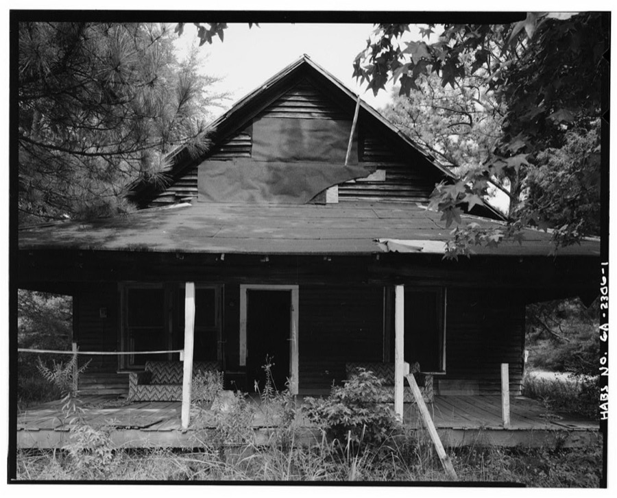
Every property in this county listed on the National Register of Historic Places, with the year it was listed and the federal nomination document.
| Photograph | Property | Type | Listed | Reference |
|---|---|---|---|---|
 | Fayette County Courthouse | building | 1980 | 80001020 |
| Reuben Gay Place | district | 2022 | 100007866 | |
 | Holliday-Dorsey-Fife House | building | 2008 | 08000263 |
| Railroad Street Historic District | district | 2026 | 100012528 |
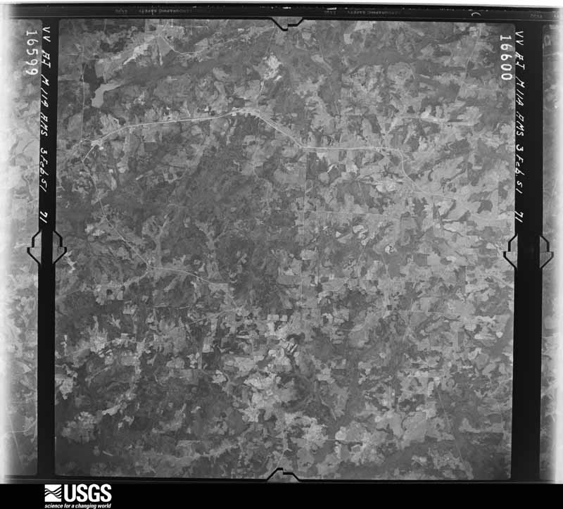
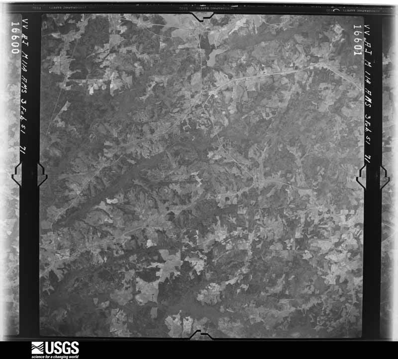
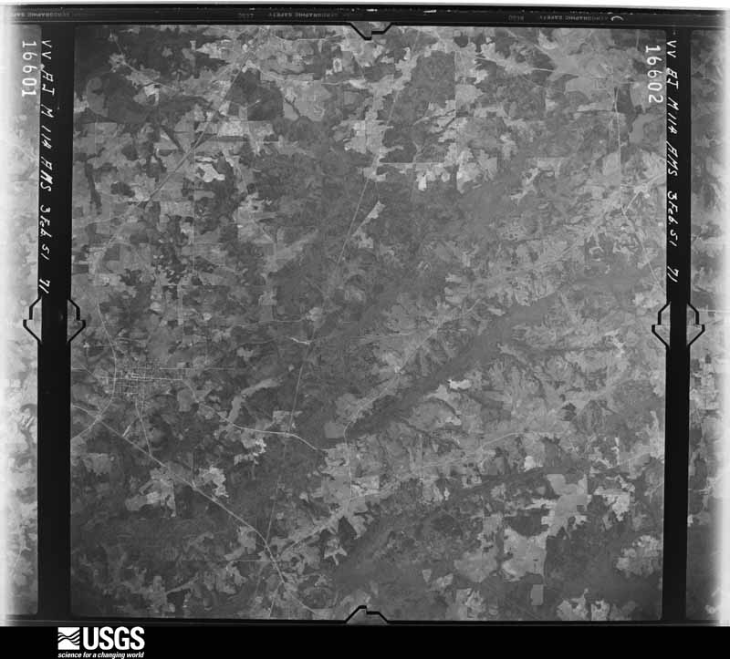
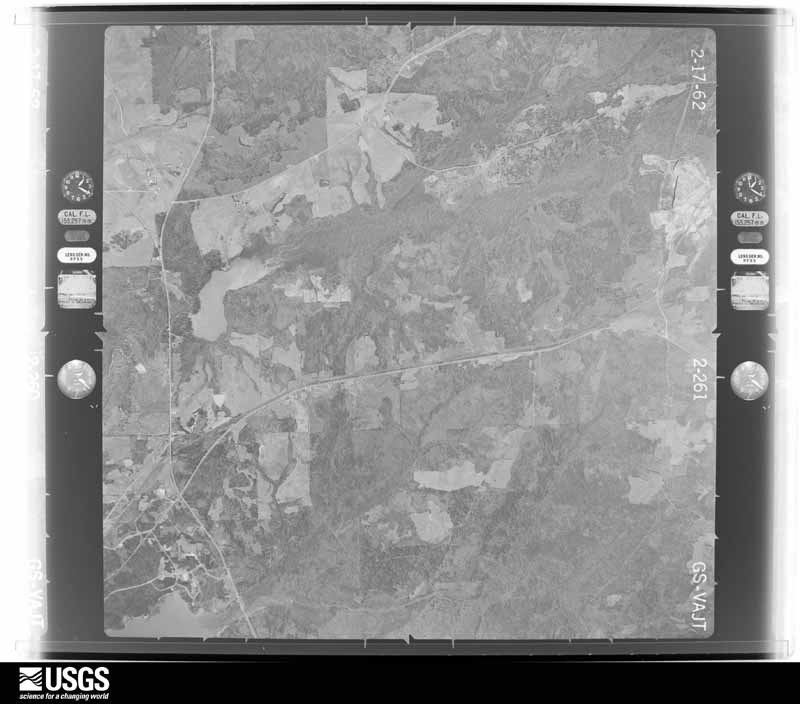
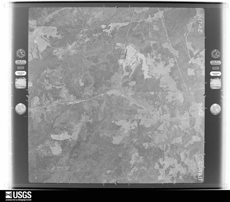
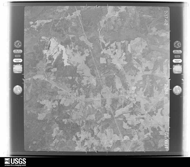
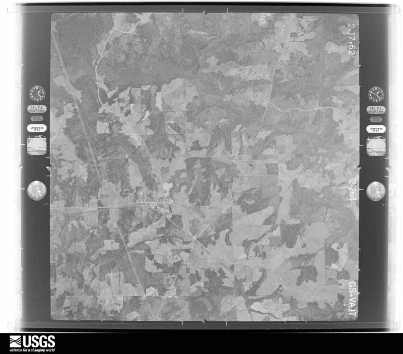
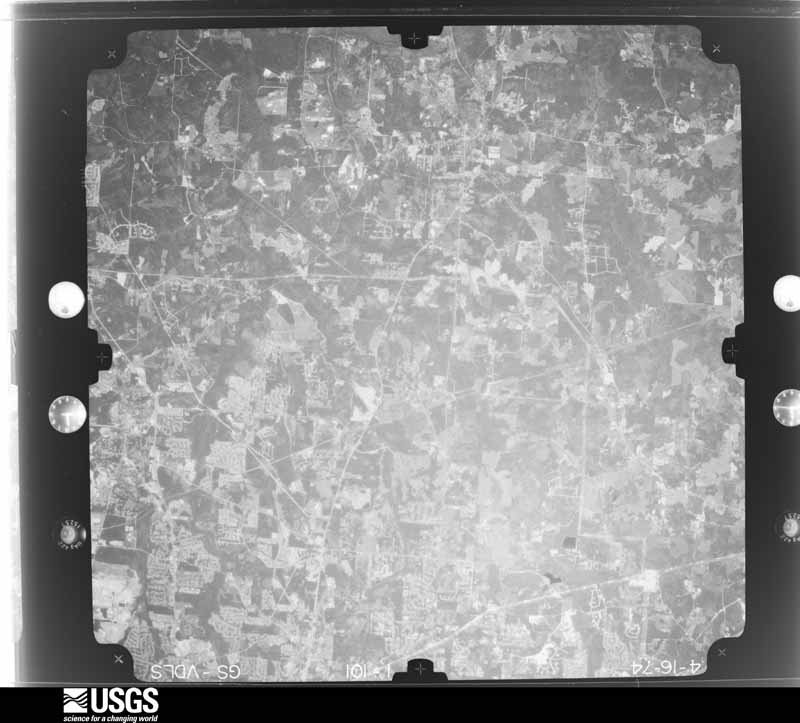
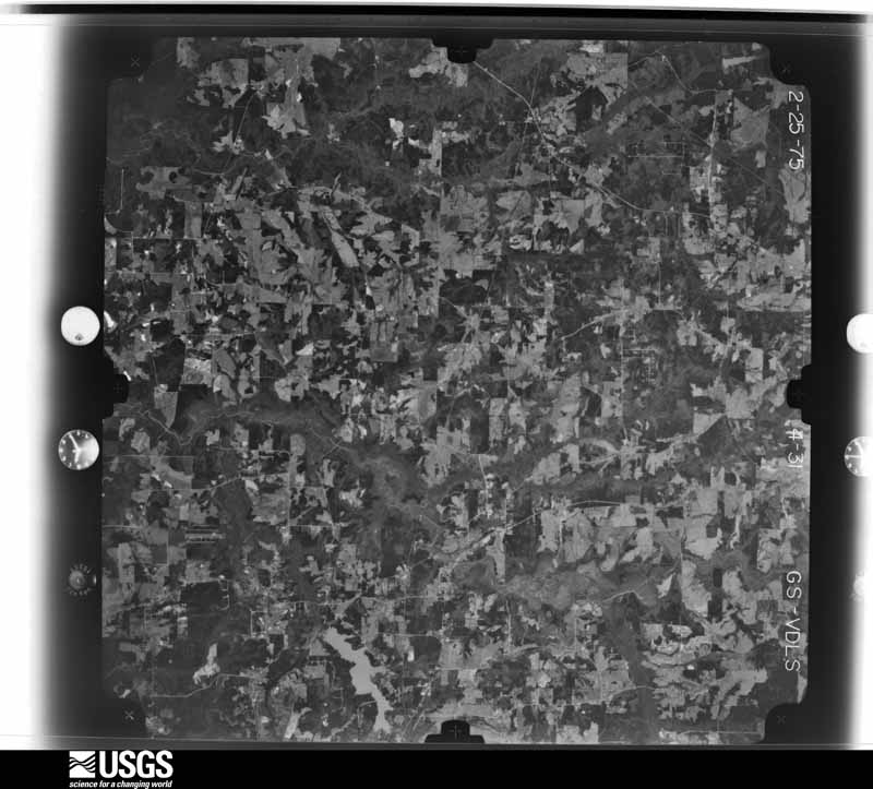
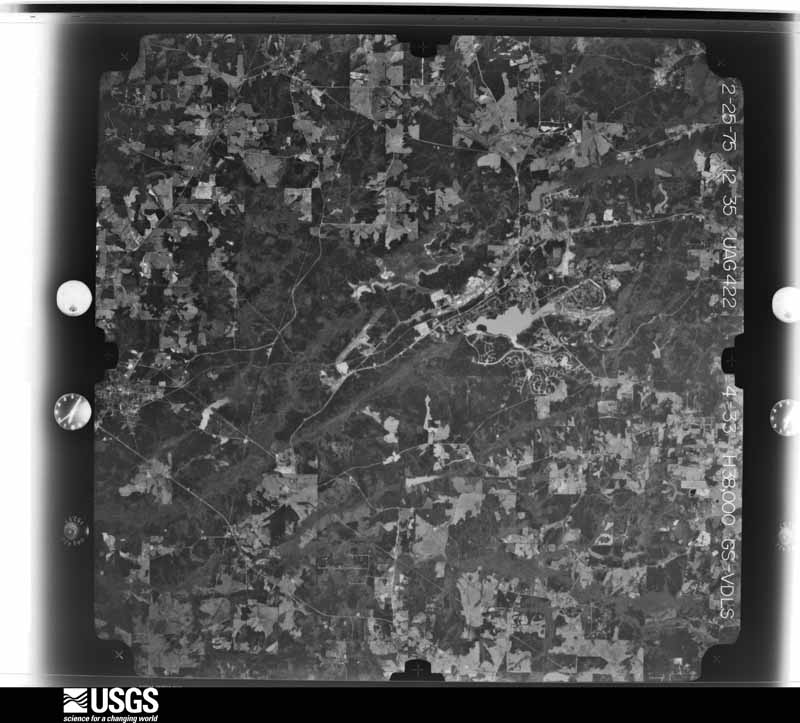
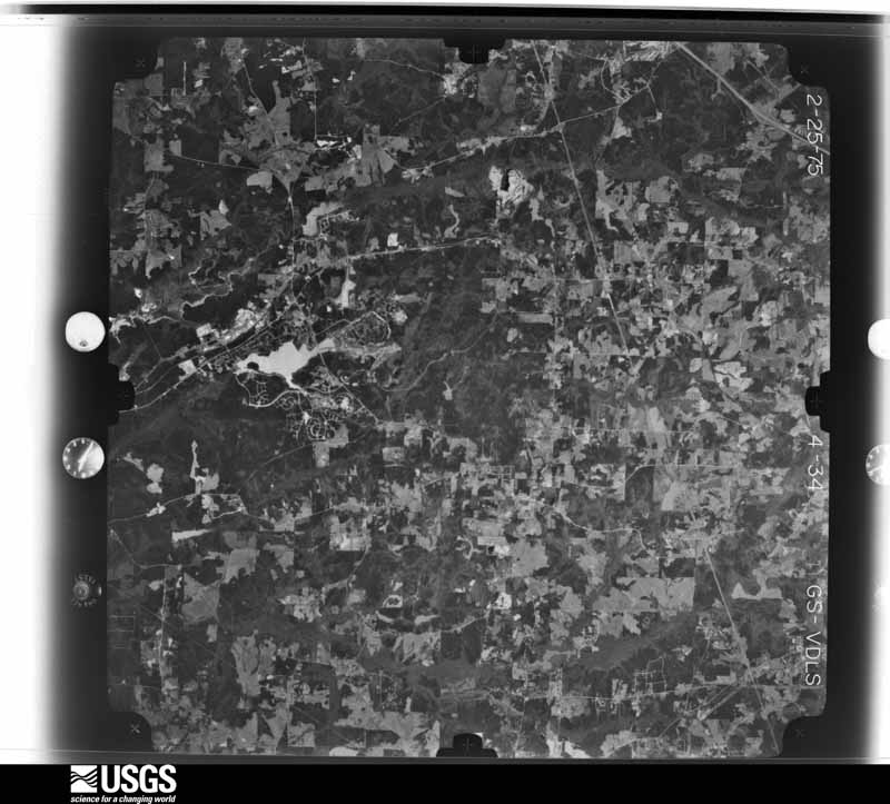
Flown by the U.S. Geological Survey between 1937 and 1989, the Aerial Photo Single Frames collection is the definitive mid-century view of the land: fields, roads and rivers as the camera saw them. The Survey holds 892 frames inside the rectangle that bounds this county; the 43 frames below were taken over the county itself, chosen across the decades of flights (at most four a year from that rectangle), so one flight cannot crowd out the rest. The full set is free to browse and download at EarthExplorer under the dataset Aerial Photo Single Frames.

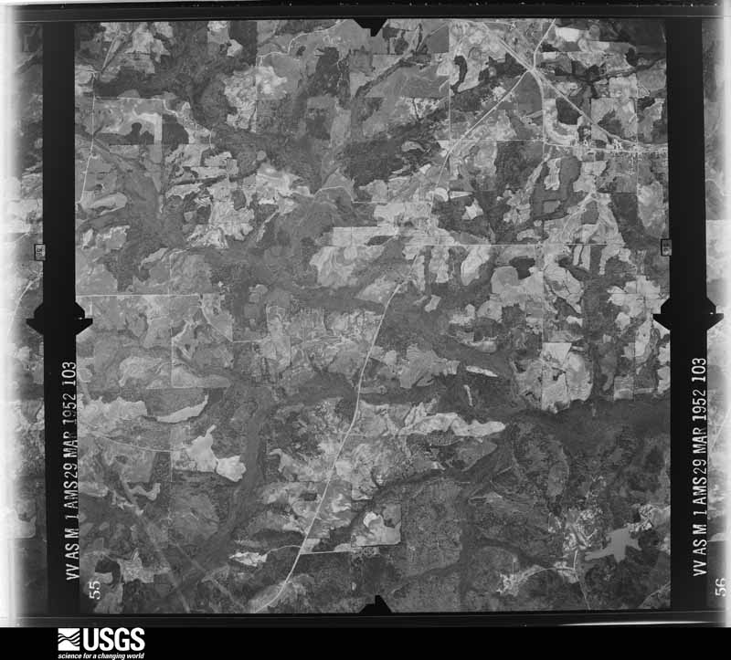
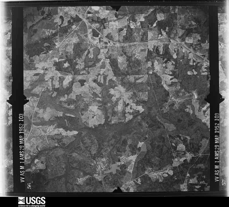
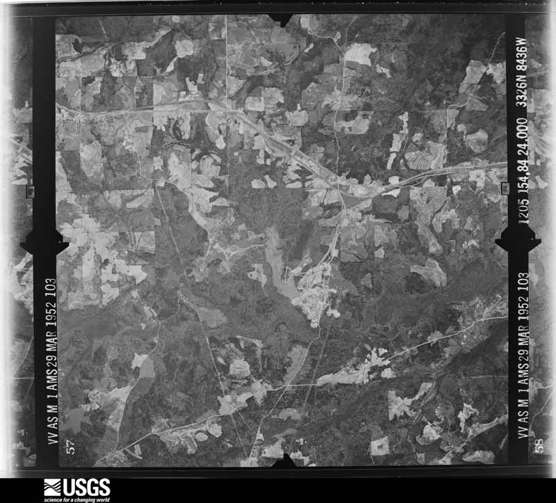
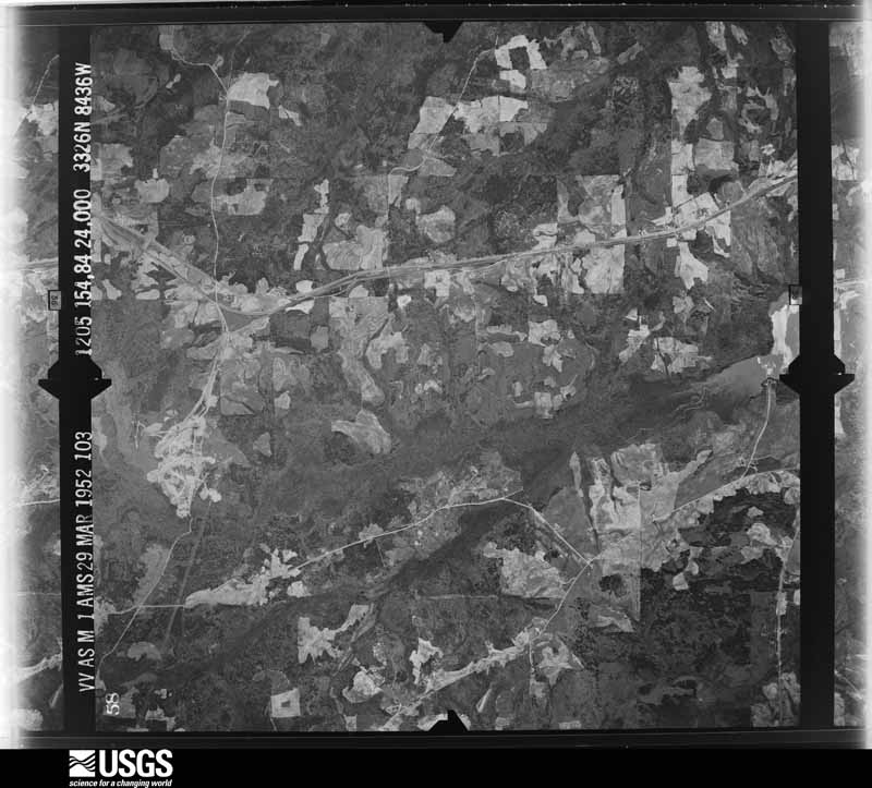
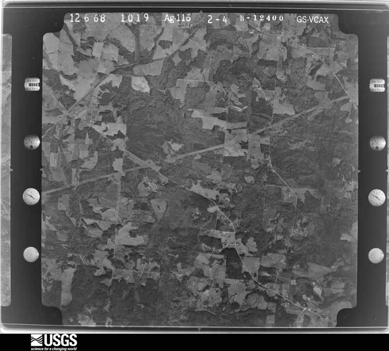
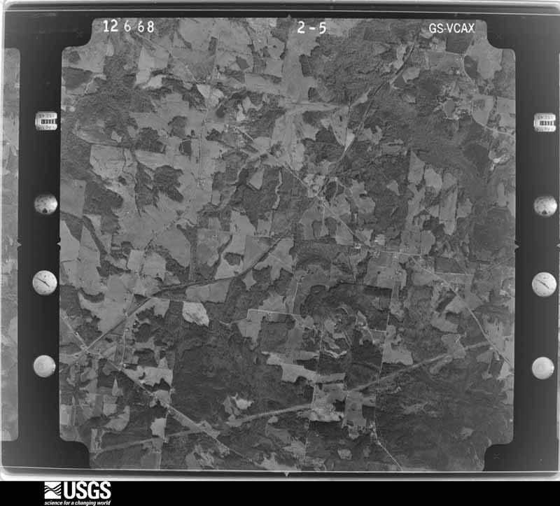
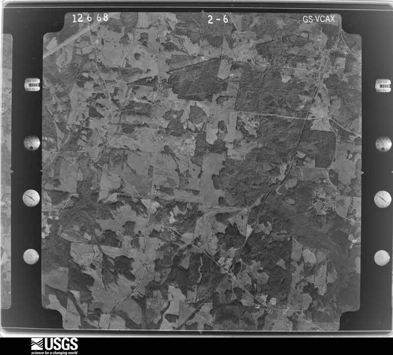
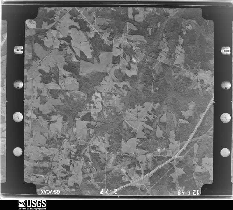















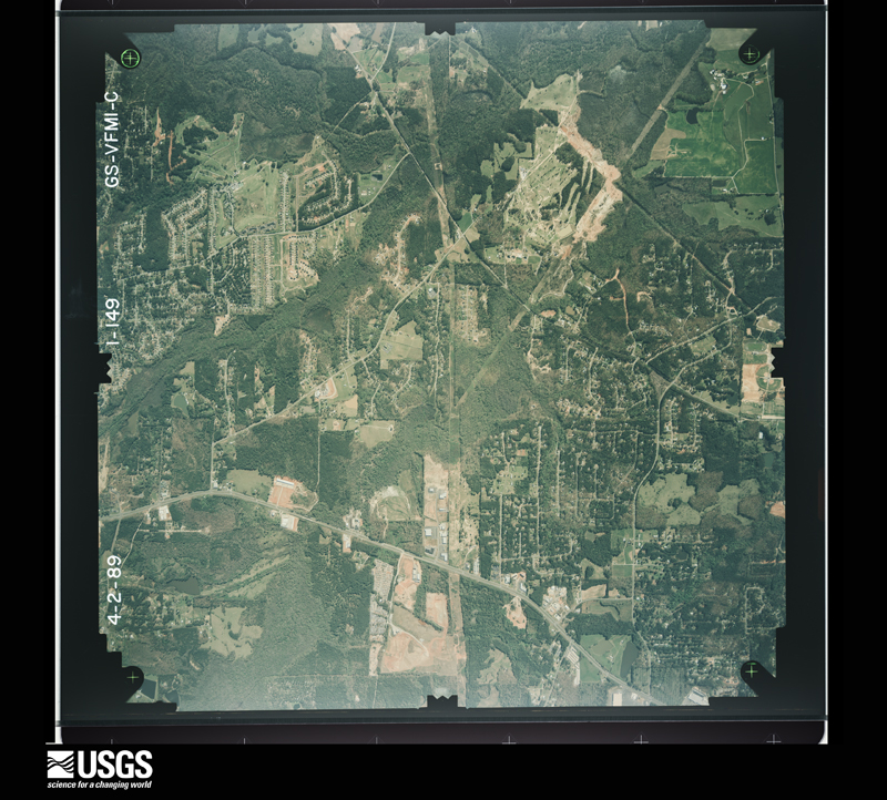
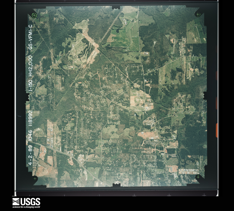
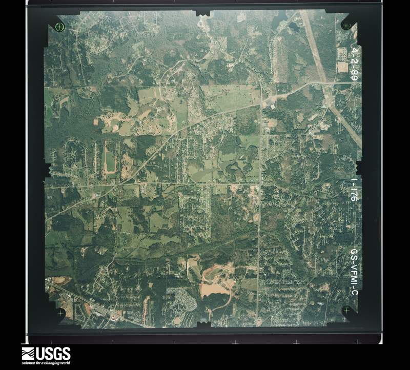
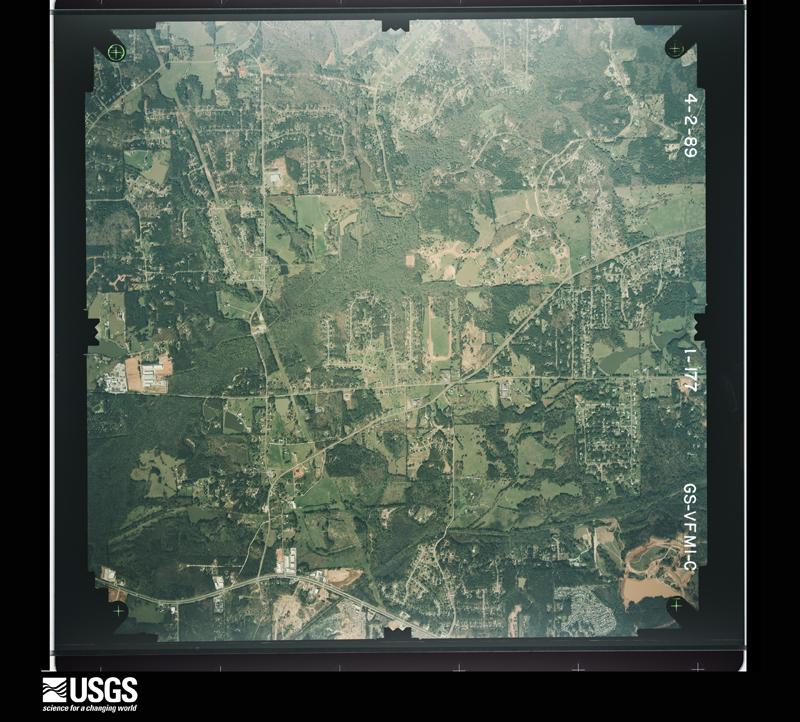
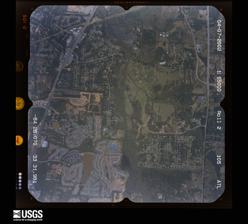
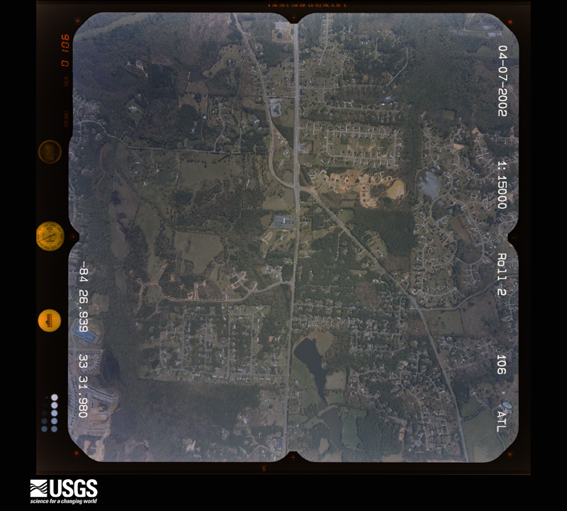
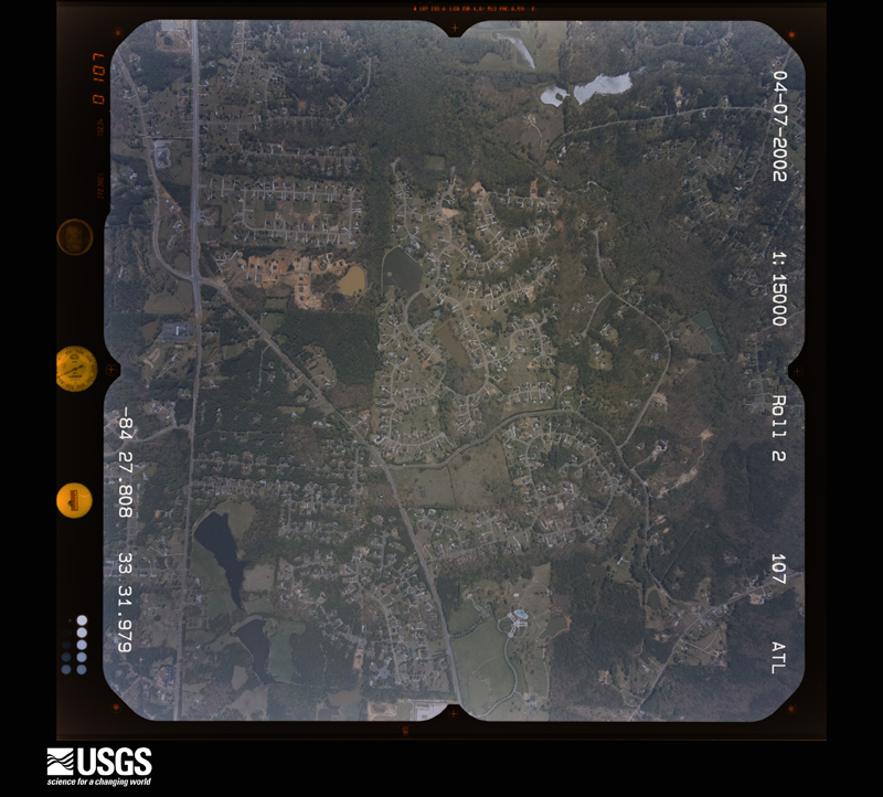
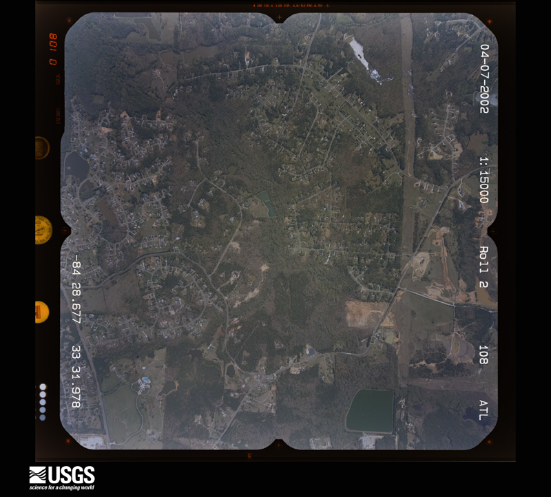
The thermometers that kept this county's weather, and the gages that measured the flow of its streams, as the federal records hold them. The extremes below are measured values from those records, not estimates.
Who lived here in 1950, one enumeration district at a time, as the Census Bureau described each district. Each row opens its official National Archives result, with Population Schedules and ED Maps available there.
Every wildfire the federal occurrence database records inside this county: 192 of them, burning about 594 acres. 10 started naturally and 35 were recorded as arson. Each settlement page carries the fires within five miles of it.
| Reported cause | Fires |
|---|---|
| Debris and open burning | 86 |
| Arson/incendiarism | 35 |
| Misuse of fire by a minor | 22 |
| Recreation and ceremony | 15 |
| Smoking | 11 |
| Natural | 10 |
| Missing data/not specified/undetermined | 6 |
| Equipment and vehicle use | 4 |
| Railroad operations and maintenance | 3 |
The five largest, by the area the report gives. One of them was set deliberately.
| Date | Cause | Size | Reported by | Name on the report |
|---|---|---|---|---|
| 20 January 2014 | Debris and open burning | 43 acres | Georgia Forestry Commission | FY2014-FAYETTE-002 |
| 21 March 1994 | Smoking | 34 acres | Georgia Forestry Commission | not named |
| 20 January 2014 | Debris and open burning | 30 acres | Georgia Forestry Commission | FY2014-FAYETTE-003 |
| 26 January 2001 | Debris and open burning | 22 acres | Georgia Forestry Commission | FY2001-FAYETTE-002 |
| 9 February 1996 | Debris and open burning | 22 acres | Georgia Forestry Commission | not named |
| 21 May 1992 | Railroad operations and maintenance | 20 acres | Georgia Forestry Commission | not named |
| 18 February 1996 | Debris and open burning | 14 acres | Georgia Forestry Commission | not named |
| 30 August 1993 | Arson/incendiarism | 14 acres | Georgia Forestry Commission | not named |
Every settlement page carries the fires within five miles of it - see the settlement index below.
The NOAA Storm Events Database holds 396 reports for this county, causing 2 deaths, 19 injuries and about $32,922,400 in recorded property damage. Each settlement page carries the reports that name it.
| Kind of event | Reports |
|---|---|
| Thunderstorm Wind | 215 |
| Hail | 94 |
| Lightning | 50 |
| Flash Flood | 14 |
| Tornado | 12 |
| Heavy Rain | 5 |
| Flood | 4 |
| Funnel Cloud | 1 |
| Winter Storm | 1 |
The most serious of them, by death, then injury, then recorded damage. The accounts are quoted exactly as the forecast office filed them.
| When | Event | Place named | Harm | What the report says |
|---|---|---|---|---|
| July 2012 | Lightning | Peachtree City | 1 killed, 1 hurt | Peachtree City Police reported that one man was killed and another was injured due to a lightning strike at the Batter Way docks on Peachtree Lake. The men were fishing on the lake and when they saw the storms coming in, they puled their boat out of the water and took shelter from a storm underneath a tree that was struck by lightning. |
| July 2005 | Flash Flood | Peachtree City | 1 killed, $163,000 | The Fayette County Emergency Management Director reported that flash flooding occurred in some areas of Peachtree City in particular. Rainfall of five inches or more was common across much of the county between 7 pm and 10 pm EDT, especially the western and northern sections. Several homes were flooded in Peachtree City as well as in unincorporated rural areas of Fayette county between Peachtree City and Fayetteville. An 18-year old male was swept to his death in a flooded drainage ditch in Peachtree City near the Tinsley Mills apartments just east of the intersection of Georgia Highways 54 and 74. The Atlanta Journal-Constitution reported that several motorists became stranded on some streets in Peachtree City and Fayetteville as roads became flooded and impassable. |
| August 2012 | Lightning | Harp | 8 hurt, $1,000 | The Fayette County Emergency Manager relayed a report of a house being struck by lightning on Hilo Road. The house was damaged in the small fire that resulted. The family was sitting under an awning, and eight people were transported to the hospital with minor injuries. |
| February 1997 | Thunderstorm Wind | Fayetteville | 4 hurt, $600,000 | no account filed |
| July 2007 | Lightning | Peachtree City | 1 hurt, $250,000 | The Fayette County Emergency Management Director reported that lightning struck two homes, one in Peachtree City on Smokey Way and another in Fayetteville on Chateau Drive. Moderate damage resulted to both structures. In addition, a person was struck and injured by lightning on Winter Valley Court in Fayetteville. |
| May 1995 | Thunderstorm Wind | Fayetteville/Peachtre | 1 hurt, $125,000 | Thunderstorm winds snapped several large trees in all of the above named communities. Several areas were without power for a couple of hours. A Brooks man was hospitalized after being struck by lightning. Two homes caught fire after being struck by lightning, a dog in one of the homes died. |
| June 2005 | Lightning | Starrs Mill | 1 hurt, $10,000 | The Fayette County Emergency Management Director reported that lightning struck a home in the Lone Oak Estates subdivision of Padgett Road in the far southeast portion of the county. The home suffered minor damage. In addition, one person in the home was injured by the lightning strike and was transported to the hospital with minor injuries. |
| June 2005 | Lightning | Fayetteville | 1 hurt, $5,000 | The Fayette County Emergency Managment Director reported that lightning struck a poplar tree adjacent to a home on Old Mill Court off Georgia Highway 54 west of Fayetteville. The lightning travelled from the tree to an alarm clock that a man was holding in the adjacent house at the time. The man was rendered unconcsious as a result. While no fire resulted, there was damage to electrical equipment in the home. |
| June 1999 | Thunderstorm Wind | Peachtree City | 1 hurt, $1,000 | The 911 center reported a tree down on 2 cars at a soccer field, causing an injury.The public reported 2 trees down in a yard. |
| February 1997 | Thunderstorm Wind | Peachtree City | 1 hurt, $1,000 | no account filed |
| February 2009 | Hail | Tyrone | $8,000,000 | Numerous reports of very large hail were received from the Fayette County Emergency Management Director, the public, and off-duty National Weather Service employees across the northern part of the county from Tyronne, across the Sandy Creek and Lees Mill area, east-southeast toward Fayetteville, and to just east-southeast of Fayetteville. Most of the hail ranged in size from 2.75 to 3.0 inches throughout this area. Extensive damage was observed to the roofs and windows of homes and automobiles along the path of the supercell thunderstorm. The Fayette County Emergency Management Director reported that at least $250,000 in damages along was observed to county school skylights and windows. The public reported extensive damage to the roofs and windows of homes across the northern portion of the county. |
| March 2013 | Hail | Fayetteville | $4,330,000 | The Fayette County Emergency Manager and a storm chaser reported quarter to tennis ball sized hail in Fayetteville. |
| April 1980 | Tornado (F1) | not stated | $2,500,000 | no account filed |
| January 2006 | Tornado (F2) | Lees Mill | $2,000,000 | A damage survey conducted by the National Weather Service in Peachtree City Georgia and the Fayette County Emergency Management Director concluded that the F2 tornado, which originally developed in far south Fulton county just east of Palmetto continued into extreme northwest Fayette county. The overall tornado path length was seven miles, of which approximately three miles occurred within Fayette county. The maximum path width was 1/4 mile. The most significant damage associated with the tornado occurred in Fayette county. The tornado entered the county just south of Fairburn and just west of Georgia Highway 74 (Senoia Road) near Milam Road. In this area the tornado destroyed a small apartment home and rolled a hay baler approximately 15 yards from its origin. A number of trees were uprooted or snapped off in this area as well. The storm then skipped across Georgia Highway 74 just south of the Wendell Coffee Golf Center into the River Oaks Subdivision. A home on Westbourne Drive next to the Golf Center was damaged with trees down on the structure. A metal awning was also torn off the home. Further down the street, also in the River Oaks Subdivision, a large home was damaged beyond repair and about six others sustained minor to moderate damage, mainly to the roofs of the structures. While one family was trapped in their home during the event, they were rescued without injury. The tornado ended in the 600 block of Westbourne Drive in the River Oaks Subdivision. |
| July 2005 | Tornado (F0) | Fayetteville | $1,950,000 | A National Weather Service damage survey team determined that an F0 tornado touched down approximately two miles southeast of Fayetteville near Hilo Road and traveled on the ground approximately one mile to the north, terminating near Jeff Davis in southeast Fayetteville. Hundreds of trees were blown down, twisted, and uprooted along the path of the tornado, many causing damage to dozens of homes and vehicles. Trees fell through the roof of several homes. A couple of businesses in southeast Fayetteville reported extensive damage, with the roof blown off one building on Highway 85 Parkway. The tornado combined with other thunderstorm wind events in the county during the evening resulted in up to 50 percent of the county being without power for several hours during the evening. The tornado path length was determined to be one mile and the path width one-quarter mile. |
| March 2008 | Hail | Peachtree City | $1,500,000 | The public observed golf ball-sized hail at the intersection of Redwine Road and Peachtree Parkway on the east side of Peachtree City. Half-dollar-sized hail was observed at the National Weather Service Forecast Office on the south side of Peachtree City at Falcon Field. Penny to nickel-sized hail was observed south of Fayetteville in the Starrs Mill and Brooks areas. |
| December 2015 | Flash Flood | Aberdeen | $1,000,000 | A USGS stream gage on Whitewater Creek at Starrs Mill Park reached flood stage of 10 feet. The creek crest at 15.9 feet. Significant flooding occurred in the woodlands and fields along the creek downstream from the Starrs Mill Dam to Line Creek. Most of Starrs Mill Park was under 4 to 6 feet of water. The flood waters hit the bottom of the mill. Several roads and culverts were washed out due to the rapidly flowing flood waters. The flood waters of Cherry Branch damaged a condo in Tinsley Mill Village off Flat Creek Road. |
| November 2004 | Thunderstorm Wind | Countywide | $1,000,000 | The Fayette County Emergency Management Director reported widespread and extensive damage to trees, power lines, homes and vehicles as a result of straight-lined winds or possibly a microburst. Wind gusts were estimated to be at least 70 mph in some parts of the county. This information was confirmed by other sources, including the public, the county 911 center, and observations of employees at the National Weather Service Forecast Office in Peachtree City, as well as a followup aerial survey. Dozens of large trees, many of which were pines, were either uprooted or blown down all across the county, causing damage to homes, vehicles, power lines, and blocking several roads. The most extensive damage occurred across the southern and eastern parts of the county, from the south end of Peachtree City, to Starrs Mill, to Woolsey. At least 30 homes sustained extensive damage when large trees, mostly pine, fell on the structures. A number of roads were blocked, including portions of Georgia Highway 74 in Peachtree City, Georgia Highway 92 south of Fayetteville, and portions of McBride, Redwine, and County Line Roads. Power lines were brought down all over the county leaving many residents of the county without power for 12 or more hours. Peachtree City suffered the most monetary damage with well over $325,000 in damage to homes. Two subdivisions, Clearbrook Estates and Bonaventure Estates, on the southeast side of Fayetteville along Jeff Davis Drive, sustained over $250,000 in damages. The Rebecca Lakes subdivision in Fayetteville sustained another $245,000 in damages, with over $100,000 in unincorporated Fayette county (mostly in the Starrs Mill to Woolsey area), and around $36,000 in the city of Fayetteville. In addition, a portion of a roof and door of a hanger at Falcon Field Airport in Peachtree City also sustained substantial damage. |
| July 2007 | Lightning | Peachtree City | $800,000 | The Fayette Citizen reported that lightning struck a home in the Wood Creek subdivision just south of the Peachtree City city limits. Damage to the home was significant. In addition, three fire fighters sustained minor injuries while fighting the fire. The Fayette County Emergency Management Director reported that lightning also struck a home on Stone Haven Drive about 5 miles southwest of Fayetteville. The home was a total loss from the resulting fire. Another home in the High Grove subdivision near by suffered minor damage from a lightning strike. |
| August 2007 | Lightning | Fayetteville | $775,000 | The Fayette County Emergency Management Director reported that at least two homes and a work shop sustained damage from lightning strikes and related fires. A home in the Lakemont Subdivision southwest of Fayetteville on Wind Ridge Dr was a total loss with $450,000 in damages. Another home on Creek View Trail northwest of Fayetteville was also a total loss with $250,000 in damages. In addition, a workshop on the east side of the county on Morgan Mill Road was destroyed with $75,000 in damages. |
| August 2006 | Lightning | Fayetteville | $665,000 | The Fayette County Emergency Management Director reported that lightning struck two homes and set them on fire, one southeast of Fayetteville on Wyonia Way of Hilo Road and the other northwest of Fayetteville on Bankstown Road. Both homes were declared a total loss. Two other homes were also struck by lightning, but no damage was reported. At least one transformer fire resulted as a result of a lightning strike and several power outages were reported in the Fayetteville area as a result of lightning strikes. |
| July 2009 | Lightning | Fytville Mccombs Arp | $600,000 | The Fayette County Emergency Management Director reported that a large home on Surrey Park Drive, just south of Fayetteville, was struck by lightning and set on fire. The home was completely destroyed by the resulting large fire. The residents of the home were not home at the time of the incident. |
| June 2003 | Flash Flood | Fayetteville | $600,000 | The Fayette county 911 center and Emergency Management Director reported that extensive flooding of roads and homes was occurring just west and just north of downtown Fayetteville. At Georgia Highway 85 and Georgia Highway 314, just north of Fayetteville, the road had two feet of water over it. Just west of Fayetteville off Georgia Highway 54 near Gingercake Creek, water rose several feet up on homes causing extensive damage to a number of homes. One home had a portion of a lower wall cave in from the weight and rush of the flood waters. The dam on Pye Lake, also just west of Fayetteville, was also breached from the flood waters. Consequently, several homes in the LaFayette Gardens Home subdivision were flooded and several residents in the Cornwallis and Wetherly Drive area of this subdivision had to be evacuated. At least five vehicles were damaged or destroyed by the flood waters as driveways collapsed and the vehicles fell into or were submerged by the flood waters. Several roads in downtown Fayetteville and nearby adjacent areas, especially to the west and north, sustained significant damage, Portions of the roads were washed out and extensive repairs were required. |
| May 1998 | Hail | Peachtree City | $500,000 | Large hail from a severe thunderstorm was reported in several areas of Fayette county. The largest hail was across the southern part of the county. An off-duty NWS meteorologist reported 2 inch hail covering the ground near Peachtree city. Numerous other reports from Peachtree City indicated silver dollar size, tennis ball size and as large as 3 inch hail. There were many cars and house roofs damaged. The hail broke a window at the number 5 fire station and caused a roof to collapse on Greenville Road. Quarter size to golf ball size hail was reported in Fayetteville and other parts of Fayette county. |
| July 2002 | Lightning | Brooks | $450,000 | The Fayette county Emergency Management Director reported that lightning struck a large two-story home near Brooks on Crabapple Road. The home was completely destroyed by the resulting fire. |
| August 2007 | Lightning | Lees Mill | $400,000 | The Fayette County Emergency Management Director reported that at least three homes and one business were struck by lighting resulting in fires and minor to moderate damage to the structures. A home on New Castle Drive in Fayetteville was a total loss and suffered $275,000 in damages. Another home on Georgia Highway 314 suffered $100,000 in damages, another on Buckeye Lane $10,000, and minor damage to a business at the Fayette Pavilion Shopping Center about two miles north of Fayetteville. There were several other lightning related calls to the fire department that evening, but no damage was reported at the other locations. |
| June 2011 | Lightning | Fytville Mccombs Arp | $300,000 | The Fayette County Emergency Manager reported that lightning struck a large home on Isleworth Way in Whitewater Creek Estates on the south side of Fayetteville. The structure suffered extensive damage from the resulting fire. |
| July 2011 | Lightning | Harp | $300,000 | The Fayette County Emergency Management Director reported that lightning struck a home on Littlefield Court on the east side of Fayetteville. The home was considered a total loss from the resulting fire. |
| July 2005 | Flash Flood | Countywide | $300,000 | The Fayette County Emergency Management Director reported extensive flooding and flash flooding across the county. Rainfall of 10 to 12 inches had fallen across much of the county during the 18 hour period ending at 7 am EDT. A portion of West Bridge Road was washed out and many roads around the county were under deep flowing water. The historic Starrs Mill in south Fayette county was inundated and water rose to the bridge level on McDonough Road at the Clayton county line in eastern Fayette county. In addition, there was a dam breach on Lake Fowler near Fayetteville. Estimated damages from flash flooding in the county were set at $300,000. Many basements across the county were also flooded from ground water. In addition, Line Creek along the western border of the county with Coweta county rose above its flood stage of 9.0 feet at 625 am EDT and crested at 16.8 feet later in the evening at 8 pm. This was the second highest crest observed on this creek, only surpassed by a reading of 20.1 feet on July 5, 1994 during the Tropical Storm Alberto. Many areas of the county had seen up to 15 inches of rain since the beginning of the month, with Hurricane Dennis following just four days after Tropical Storm Cindy. |
| May 2011 | Lightning | Kenwood | $250,000 | The Fayette County 911 Center reported that lightning struck a home in Newton Plantation in far north Fayette county near the Clayton county line, just south of the intersection of Georgia Highway 314 and Georgia Highway 138. The home was set on fire and sustained at least moderate damage. |
| July 2005 | Lightning | Peachtree City | $250,000 | The Fayette Daily News reported that a home was struck in the Kedron Hills area of Peachtree City. The ensuing fire destroyed 40 percent of the home. In another incident, the Peachtree City Police reported that a home was struck by lightning and set on fire in the Wynnmeade area of west Peachtree City near the Coweta County line. |
| July 2005 | Heavy Rain | Fayetteville | $250,000 | The Fayette County Emergency Management Director reported that heavy rain caused the roof of a rotunda on a home to collapse causing extensive damage to the structure. A gas station canopy on Georgia Highway 54 also collapsed because of the weight from heavy rain. Heavy rain also resulted in a sewage spill from a manhole in the Willowbend area near Peachtree City's city hall. |
| May 2003 | Thunderstorm Wind | Peachtree City | $175,000 | The Fayette county Emergency Management Director reported that a number of trees, and at least four power lines were blown down in the Fayetteville and Peachtree City area. One very large oak tree fell on a home in Fayetteville causing major damage to the structure. At least a dozen roads were blocked by fallen trees and the power was out for several hours in the Peachtree City area. A public works employee was injured later when a tree limb fell out of a tree while he was clearing a roadway. |
| July 2000 | Lightning | Peachtree City | $175,000 | The Fayette Citizen reported that a house was struck by lightning on Valley View in the Braelinn Green subdivision. The house suffered extensive fire and water damage. No one was home at the time of the incident and no one was injured. |
| June 1999 | Thunderstorm Wind | Kenwood | $175,000 | Severe thunderstorm winds began causing damage in northern Fayette county around 8 PM local time, where there was damge to a house and trees were down. The storm produced damage south along highway 85 and in Fayetteville, where most of the damage occurred. Roofs were torn off buildings, trees were uprooted and fell onto cars, and power lines were strewn over roads and yards. One woman was trapped in her car as debris from a roof fell onto her vehicle and power lines were downed around the scene. She was not injured. A church on Courthouse Square in Fayetteville was hit by a falling tree as well. The face of the clock tower on the square was cracked slightly. Roof damage to the Fayetteville pharmacy was estimated at $55,000 to $65,000, with another $15,000 damage inside the store. The computer store next door suffered water damage due to a damaged roof allowing water to leak in. Two Fayetteville police officers reported seeing a funnel cloud north of Fayetteville. |
| July 2007 | Lightning | Peachtree City | $150,000 | A storm spotter, amateur radio operator, and the Peachtree Citizen reported that lightning struck and set on fire a home in the Honeysuckle Ridge Subdivision near Georgia Highway 74 and Kedron Drive. A minor fire in the crawlspace resulted. Another home on Azalea Drive in Peachtree City suffered minor damage when lightning struck a nearby tree and jumped to a handrail and into the house. Damage was confined to a portion of an interior wall. |
| June 2004 | Lightning | Fayetteville | $150,000 | The Fayette County Emergency Management Director reported that a lightning strike set on fire a large and very expensive home in the Whitewater Creek Subdivision off Redwine road. The Fire Department confined the damage to the large, very expensive home to the attic and one upstairs room. |
| March 2001 | Lightning | Fayetteville | $150,000 | The Fayette Daily News reported that lightning struck and set on fire a brick, ranch-style house at 110 Sharon Drive. The fire destroyed a good portion of one end of the house including the attic, kitchen, and the dining room. No one was home at the time and no injuries were reported. |
| October 2008 | Tornado (EF0) | Fayetteville | $125,000 | A survey conducted by the National Weather Service Forecast Office in Peachtree City, Georgia confirmed that a very brief EF0 tornado had touched down in the northeast part of the Fayette Pavilion Shopping center, just north of downtown Fayetteville located between Georgia Highways 314 and 85. The tornado caused the back wall of the two-story Christian Bookstore to buckle outward. An air conditioning unit was also blown off the roof pad of the adjacent Marshalls Department store. A few trees behind these buildings were also blown down. Minor damage was also observed to the facade and utility lines of adjacent buildings. The tornado path length was 150 yards long with a maximum path width of 50 yards. |
| August 2012 | Thunderstorm Wind | Fayetteville | $120,000 | The Fayette County Emergency Manager reported that numerous power lines were blown down along Highway 85. Roofs were blown off five buildings at a U-Haul facility in the 1500 block of North Highway 85. Vehicles in the parking lot were also damaged. |
| June 2015 | Thunderstorm Wind | Tyrone | $100,000 | An NWS survey team determined that a downburst knocked 25 to 30 large pine trees down onto several mobile homes in the Whispering Pines Mobile Home Park off of Senoia Road. |
| August 2012 | Lightning | Fayetteville | $100,000 | The Fayette County Emergency Manager reported a lightning fire at a home along Woodbyne Drive, causing extensive damage. |
| June 2008 | Lightning | Harp | $100,000 | The Fayette County Emergency Management Director reported that lightning struck and set on fire a 4000 square foot home in the Harbor Lakes subdivision off Antioch Road, approximately three miles south-southeast of Fayetteville. The fire was contained before the home was completely destroyed. |
| July 2004 | Lightning | Kenwood | $100,000 | The Citizen newspaper of Fayette county reported that lightning struck Evander Holyfield's guest house off Georgia Highway 279 near the Clayton county line, setting it on fire and causing an estimated $80,000 in damage. In another incident, ongoing simultaneously, lightning struck a home on Westbridge Road and set the attic on fire. |
| March 2012 | Lightning | Fayetteville | $80,000 | The Fayetteville FIre Department reported that a vacant home off Jasmine Court was struck by lightning and subsequently set on fire. The home sustained moderate damage. |
| March 2021 | Tornado (EF0) | Aberdeen | $50,000 | A National Weather Service survey determined that an EF0 tornado with maximum wind speeds 75 MPH and a maximum path width of 800 yards occurred in Fayette County. The Heard-Coweta County tornado moved east-northeast into Fayette County and northern Peachtree City crossing Line Creek east of Minix Road. It snapped a few trees near MacDuff Parkway where new homes were being constructed. Portable restrooms and light construction materials were also blown around. A few trees were downed on the CSX railroad tracks near Senoia Road and along Highway 74 near Kedron Drive. Large trees blocked the entrance to the Kedron Hills neighborhood at Loring Lane and Peachtree Parkway. The tornado finally ended near Astoria Lane at the northeast end of Kedron Hills in Peachtree City. [3/25/21: Tornado #2, County #3/3, EF-0, Heard, Coweta, Fayette, 2021:007]. |
| August 2006 | Lightning | Peachtree City | $50,000 | The Peachtree City Police Department reported that lightning struck a home in the Planterra Ridge subdivision setting it on fire and causing damage to the structure. |
| July 2005 | Lightning | Peachtree City | $50,000 | The Newnan Times-Herald reported that the attic of a home on Southfield Court in the Woodstream subdivision of Peachtree City suffered extensive damage when the structure was struck by lightning and set on fire. |
| November 2002 | Thunderstorm Wind | Brooks | $50,000 | The Fayette county Emergency Management Director reported that thunderstorm winds blew a tree down on a house in Fayetteville causing considerable damage to the structure. |
| July 2000 | Lightning | Fayetteville | $50,000 | The Fayette county Emergency Management Director reported that lightning started a fire to a gas station/grocery store in far northwest Fayette county on Georgia Highway 92 near the Fulton county line. |
| June 1998 | Thunderstorm Wind | Peachtree City | $50,000 | A squall line continued from Carroll, Heard, and Troup counties eastward through Coweta into Fayette county. It passed the Weather Service Forecast Office at Falcon Field in Peachtree City between 1230 and 1236 AM EDT. 2 planes were flipped over. The ASOS wind sensor was broken by the wind. It last measured 41 knots, but winds were estimated at 60 knots. A sign from a nearby building was blown into the parking lot. Trees were blown down in Peachtree city and in Fayetteville, damaging a house and an apartment. |
| June 2010 | Lightning | Kenwood | $47,500 | The Fayette County Emergency Management Director reported that six lightning strike incidents occurred during evening thunderstorms. No damage was reported with two of the lightning strikes. On Brogdon Road, north of Fayetteville, a storage shed was struck causing $2500 in damages. On Deer Cove, just north of Fayetteville, lightning struck a home and resulted in $5000 in damages. In downtown Fayetteville on Church Street, a church was struck resulting in $30,000 in damages to the structure. Finally, on Shamrock Drive, just south of Fayetteville, a home suffered $5000 in damages from a lightning strike. |
| March 2020 | Thunderstorm Wind | Aberdeen | $45,000 | Local law enforcement, National Weather Service employees and the public reported numerous trees and power lines blown down across the county. |
| May 2011 | Thunderstorm Wind | Peachtree City | $35,000 | The Fayette County 911 Center reported that several dozen trees and power lines were down across the entire county. Up to 45,000 residents of the county were left without power for several hours, in some cases well into the next morning. The 911 Center estimated that 70 percent of the damage was across the northern part of the county with 30 percent in the southern part. Several roads were blocked from downed trees as well, including parts of Georgia Highways 85 and 92 near and just south of Fayetteville. There were no reports of structural damage, however. |
| June 1999 | Lightning | Fayetteville | $35,000 | Fires caused by lightning strikes damaged the attic of one home, destroyed an outbuilding at another, and caused minor damage at a couple of other places. |
| April 2011 | Thunderstorm Wind | Tyrone | $30,000 | The Fayette County 911 Center reported that over two dozen trees were down across the north end of the county, especially in the Sandy Creek, Kenwood, and west Fayetteville areas. Trees were down on along Georgia Highway 92 near the Fulton County line, on Sandy Creek Road, Gingercake Lane, and Kenwood Road. The Fayette County Emergency Management Director reported that a suspected microburst caused caused damage to the roof of Fire Station No. 3 in Tyrone. |
| June 1998 | Thunderstorm Wind | Peachtree City | $30,000 | An off-duty NWS employee reported 2 pine trees were knocked down in Planterra Ridge subdivision. A newspaper reported the frame of a house under construction in the Lakeside on Redwine subdivision was blown down. |
| February 2005 | Lightning | Peachtree City | $30,000 | no account filed |
| December 2011 | Tornado (EF1) | Woolsey Rust Arpt | $25,000 | A damage survey conducted by the National Weather Service Forecast Office in Peachtree City, Georgia confirmed that a brief and weak EF1 tornado touched down in far southeast Fayette county along the northeast shore of Lake Horton. The tornado first touched down near the end of Woolsey Creek Trail just west of Georgia Highway 92. The tornado then moved northeast a total of 1.6 miles, lifting just north of the end of Mudbridge Road and just shy of the Clayton county line. Intermittent tree damage was observed along the path of the tornado with a total of 35 trees snapped or downed. Two homes sustained minor roof damage and two outbuildings, including a large barn, were destroyed.||[12/22/11: Tornado #5, County #1-1, EF1, Fayette, 2011:031]. |
| December 2011 | Tornado (EF0) | Lees Mill | $25,000 | A damage survey conducted by the National Weather Service Forecast Office in Peachtree City confirmed that a brief EF0 tornado affected far north Fayette county. The tornado touched down near Lees Mill Road just west of Georgia Highway 92 and traveled northeast about one mile before lifting just northeast of the end of Hill Road. Approximately 50 trees and six power poles were downed or snapped along the path of the tornado, especially along Hill Road. One home on Hill Road lost several shingles, a few gutters, and a portion of the flashing on its roof. A wooden fence was also destroyed at the same property from downed trees. WSR-88D also indicated that the circulation that spawned this tornado was likely associated with the same circulation that earlier spawned an EF1 tornado in Coweta county.||[12/22/11: Tornado #6, County #1-1, EF0, Fayette, 2011:032]. |
The Survey's mineral resources record lists 4 workings inside this county. 2 still produce and 2 are closed or unrecorded. Each settlement page carries the workings within five miles of it.
| Commodity | Workings |
|---|---|
| Stone, Crushed/Broken | 2 |
| Mica | 1 |
| Marble, Dimension | 1 |
The least common of them first, because a county's hundredth gravel pit says nothing its first ten did not.
| Where | Site | Commodity | Status | Recorded |
|---|---|---|---|---|
| A.J. Mcelwaney Quarry | Marble, Dimension | Past Producer | ||
| Porter Prospect | Mica | Prospect | ||
| Tyrone Quarry | Stone, Crushed/Broken | Producer | ||
| Tyrone Quarry | Stone, Crushed/Broken | Producer |
Named settlements recorded in the Geographic Names Information System, each with the topographic sheets covering it. Villages, hamlets and abandoned places alike. Each is shown with the nearest named watercourse or landform and the survey quadrangle it falls on. The 1 place that was also surveyed for fire insurance comes first, with the number of atlases and photographs held for them.
Fayetteville census division · 30214 · Fayetteville quadrangle
10 sheets, 1953 to 1979
Fire insurance: 2 atlases
Peachtree City-Tyrone census division · 30269 · On Flat Creek · Senoia quadrangle
9 sheets, 1953 to 1979
Peachtree City-Tyrone census division · 30269 · Tyrone quadrangle
9 sheets, 1953 to 1979
Peachtree City-Tyrone census division · 30269 · Senoia quadrangle
9 sheets, 1953 to 1979
No longer a settlement
Fayetteville census division · 30214 · Riverdale quadrangle
21 sheets, 1888 to 1993
Fayetteville census division · 30214 · On Sandy Creek · Fayetteville quadrangle
10 sheets, 1953 to 1979
Fayetteville census division · 30214 · Fayetteville quadrangle
10 sheets, 1953 to 1979
Peachtree City-Tyrone census division · 30269 · Tyrone quadrangle
9 sheets, 1953 to 1979
Peachtree City-Tyrone census division · 30269 · Tyrone quadrangle
9 sheets, 1953 to 1979
Peachtree City-Tyrone census division · 30290 · On Trickum Creek · Tyrone quadrangle
9 sheets, 1953 to 1979
Fayetteville census division · 30215 · On Nash Creek · Fayetteville quadrangle
10 sheets, 1953 to 1979
Peachtree City-Tyrone census division · 30215 · On Pelham Creek · Tyrone quadrangle
9 sheets, 1953 to 1979
Fayetteville census division · 30215 · On Sandy Creek · Fayetteville quadrangle
10 sheets, 1953 to 1979
Peachtree City-Tyrone census division · 30290 · On Kedron Creek · Tyrone quadrangle
9 sheets, 1953 to 1979
Peachtree City-Tyrone census division · 30269 · Tyrone quadrangle
9 sheets, 1953 to 1979
Peachtree City-Tyrone census division · 30269 · Senoia quadrangle
9 sheets, 1953 to 1979
Peachtree City-Tyrone census division · 30269 · Tyrone quadrangle
9 sheets, 1953 to 1979
Peachtree City-Tyrone census division · 30269 · Tyrone quadrangle
9 sheets, 1953 to 1979
Fayetteville census division · 30215 · Fayetteville quadrangle
10 sheets, 1953 to 1979
Fayetteville census division · 30215 · On Nash Creek · Fayetteville quadrangle
10 sheets, 1953 to 1979
Peachtree City-Tyrone census division · 30269 · Tyrone quadrangle
9 sheets, 1953 to 1979
Peachtree City-Tyrone census division · 30269 · Tyrone quadrangle
9 sheets, 1953 to 1979
Peachtree City-Tyrone census division · 30269 · Tyrone quadrangle
9 sheets, 1953 to 1979
Peachtree City-Tyrone census division · 30290 · On Kedron Creek · Tyrone quadrangle
9 sheets, 1953 to 1979
Fayetteville census division · 30215 · On Ginger Cake Creek · Fayetteville quadrangle
10 sheets, 1953 to 1979
Peachtree City-Tyrone census division · 30269 · Tyrone quadrangle
9 sheets, 1953 to 1979
Peachtree City-Tyrone census division · 30269 · On Shoal Creek · Senoia quadrangle
9 sheets, 1953 to 1979
Fayetteville census division · 30215 · On Gay Creek · Fayetteville quadrangle
10 sheets, 1953 to 1979
Fayetteville census division · 30215 · On Sandy Creek · Fayetteville quadrangle
10 sheets, 1953 to 1979
Fayetteville census division · 30214 · Fayetteville quadrangle
10 sheets, 1953 to 1979
Peachtree City-Tyrone census division · 30269 · Tyrone quadrangle
9 sheets, 1953 to 1979
Fayetteville census division · 30214 · Fayetteville quadrangle
10 sheets, 1953 to 1979
Peachtree City-Tyrone census division · 30214 · On Kedron Creek · Tyrone quadrangle
9 sheets, 1953 to 1979
Fayetteville census division · 30214 · Fayetteville quadrangle
10 sheets, 1953 to 1979
Peachtree City-Tyrone census division · 30269 · Tyrone quadrangle
9 sheets, 1953 to 1979
Peachtree City-Tyrone census division · 30269 · Tyrone quadrangle
9 sheets, 1953 to 1979
Fayetteville census division · 30214 · On Sandy Creek · Fayetteville quadrangle
10 sheets, 1953 to 1979
Fayetteville census division · 30214 · On Sandy Creek · Fayetteville quadrangle
10 sheets, 1953 to 1979
Peachtree City-Tyrone census division · 30269 · On Flat Creek · Senoia quadrangle
9 sheets, 1953 to 1979
Peachtree City-Tyrone census division · 30269 · On Gin Branch · Tyrone quadrangle
9 sheets, 1953 to 1979
Peachtree City-Tyrone census division · 30269 · On Gin Branch · Tyrone quadrangle
9 sheets, 1953 to 1979
Peachtree City-Tyrone census division · 30269 · On Gin Branch · Tyrone quadrangle
9 sheets, 1953 to 1979
Fayetteville census division · 30215 · On Ginger Cake Creek · Fayetteville quadrangle
10 sheets, 1953 to 1979
Peachtree City-Tyrone census division · 30269 · Senoia quadrangle
9 sheets, 1953 to 1979
Peachtree City-Tyrone census division · 30215 · On Sandy Creek · Tyrone quadrangle
9 sheets, 1953 to 1979
Fayetteville census division · 30214 · Fayetteville quadrangle
10 sheets, 1953 to 1979
Fayetteville census division · 30214 · On Tar Creek · Riverdale quadrangle
21 sheets, 1888 to 1993
Fayetteville census division · 30214 · Fayetteville quadrangle
10 sheets, 1953 to 1979
Peachtree City-Tyrone census division · 30269 · Senoia quadrangle
9 sheets, 1953 to 1979
Fayetteville census division · 30215 · On Nash Creek · Fayetteville quadrangle
10 sheets, 1953 to 1979
Brooks census division · 30215 · On Gay Creek · Fayetteville quadrangle
10 sheets, 1953 to 1979
Peachtree City-Tyrone census division · 30269 · Tyrone quadrangle
9 sheets, 1953 to 1979
Brooks census division · 30215 · Near Jones Hill · Brooks quadrangle
9 sheets, 1953 to 1979
Peachtree City-Tyrone census division · 30269 · On Flat Creek · Senoia quadrangle
9 sheets, 1953 to 1979
Fayetteville census division · 30215 · Fayetteville quadrangle
10 sheets, 1953 to 1979
Peachtree City-Tyrone census division · 30269 · On Shoal Creek · Senoia quadrangle
9 sheets, 1953 to 1979
Peachtree City-Tyrone census division · 30290 · On Trickum Creek · Tyrone quadrangle
9 sheets, 1953 to 1979
Fayetteville census division · 30214 · Riverdale quadrangle
21 sheets, 1888 to 1993
Peachtree City-Tyrone census division · 30269 · Tyrone quadrangle
9 sheets, 1953 to 1979
Peachtree City-Tyrone census division · 30269 · Tyrone quadrangle
9 sheets, 1953 to 1979
Fayetteville census division · 30214 · On Sandy Creek · Fayetteville quadrangle
10 sheets, 1953 to 1979
Peachtree City-Tyrone census division · 30215 · On Sandy Creek · Tyrone quadrangle
9 sheets, 1953 to 1979
Fayetteville census division · 30214 · On Tar Creek · Fairburn quadrangle
19 sheets, 1891 to 1999
Peachtree City-Tyrone census division · 30290 · Tyrone quadrangle
9 sheets, 1953 to 1979
Fayetteville census division · 30214 · On Sandy Creek · Fayetteville quadrangle
10 sheets, 1953 to 1979
Fayetteville census division · 30214 · On Tar Creek · Fairburn quadrangle
19 sheets, 1891 to 1999
Peachtree City-Tyrone census division · 30269 · Tyrone quadrangle
9 sheets, 1953 to 1979
Fayetteville census division · 30215 · On Ginger Cake Creek · Fayetteville quadrangle
10 sheets, 1953 to 1979
Fayetteville census division · 30215 · Fayetteville quadrangle
10 sheets, 1953 to 1979
Fayetteville census division · 30215 · Fayetteville quadrangle
10 sheets, 1953 to 1979
Peachtree City-Tyrone census division · 30269 · On Flat Creek · Senoia quadrangle
9 sheets, 1953 to 1979
Fayetteville census division · 30214 · Riverdale quadrangle
21 sheets, 1888 to 1993
Fayetteville census division · 30214 · Riverdale quadrangle
21 sheets, 1888 to 1993
Fayetteville census division · 30214 · Riverdale quadrangle
21 sheets, 1888 to 1993
Peachtree City-Tyrone census division · 30269 · On Gin Branch · Tyrone quadrangle
9 sheets, 1953 to 1979
Peachtree City-Tyrone census division · 30269 · On Shoal Creek · Senoia quadrangle
9 sheets, 1953 to 1979
Peachtree City-Tyrone census division · 30269 · On Gin Branch · Tyrone quadrangle
9 sheets, 1953 to 1979
Peachtree City-Tyrone census division · 30269 · Tyrone quadrangle
9 sheets, 1953 to 1979
Peachtree City-Tyrone census division · 30269 · Tyrone quadrangle
9 sheets, 1953 to 1979
Peachtree City-Tyrone census division · 30269 · Tyrone quadrangle
9 sheets, 1953 to 1979
Peachtree City-Tyrone census division · 30269 · On Gin Branch · Tyrone quadrangle
9 sheets, 1953 to 1979
Peachtree City-Tyrone census division · 30269 · Tyrone quadrangle
9 sheets, 1953 to 1979
Brooks census division · 30215 · Near Jones Hill · Brooks quadrangle
9 sheets, 1953 to 1979
Fayetteville census division · 30215 · On Ginger Cake Creek · Fayetteville quadrangle
10 sheets, 1953 to 1979
Peachtree City-Tyrone census division · 30269 · Tyrone quadrangle
9 sheets, 1953 to 1979
Fayetteville census division · 30215 · Fayetteville quadrangle
10 sheets, 1953 to 1979
No longer a settlement
Fayetteville census division · 30214 · On Tar Creek · Fairburn quadrangle
19 sheets, 1891 to 1999
Peachtree City-Tyrone census division · 30269 · Tyrone quadrangle
9 sheets, 1953 to 1979
Peachtree City-Tyrone census division · 30269 · Tyrone quadrangle
9 sheets, 1953 to 1979
Fayetteville census division · 30215 · On Ginger Cake Creek · Fayetteville quadrangle
10 sheets, 1953 to 1979
Peachtree City-Tyrone census division · 30269 · On Gin Branch · Tyrone quadrangle
9 sheets, 1953 to 1979
Peachtree City-Tyrone census division · 30269 · Tyrone quadrangle
9 sheets, 1953 to 1979
Peachtree City-Tyrone census division · 30269 · Tyrone quadrangle
9 sheets, 1953 to 1979
Peachtree City-Tyrone census division · 30214 · Tyrone quadrangle
9 sheets, 1953 to 1979
Peachtree City-Tyrone census division · 30214 · Fairburn quadrangle
19 sheets, 1891 to 1999
Peachtree City-Tyrone census division · 30269 · Tyrone quadrangle
9 sheets, 1953 to 1979
Peachtree City-Tyrone census division · 30269 · On Gin Branch · Tyrone quadrangle
9 sheets, 1953 to 1979
Fayetteville census division · 30214 · Fayetteville quadrangle
10 sheets, 1953 to 1979
Peachtree City-Tyrone census division · 30214 · Tyrone quadrangle
9 sheets, 1953 to 1979
Peachtree City-Tyrone census division · 30269 · On Gin Branch · Tyrone quadrangle
9 sheets, 1953 to 1979
Peachtree City-Tyrone census division · 30269 · On Gin Branch · Tyrone quadrangle
9 sheets, 1953 to 1979
Peachtree City-Tyrone census division · 30269 · Tyrone quadrangle
9 sheets, 1953 to 1979
Peachtree City-Tyrone census division · 30215 · On Camp Creek · Senoia quadrangle
9 sheets, 1953 to 1979
Peachtree City-Tyrone census division · 30269 · Tyrone quadrangle
9 sheets, 1953 to 1979
Peachtree City-Tyrone census division · 30269 · On Gin Branch · Tyrone quadrangle
9 sheets, 1953 to 1979
Peachtree City-Tyrone census division · 30269 · Senoia quadrangle
9 sheets, 1953 to 1979
Peachtree City-Tyrone census division · 30269 · Tyrone quadrangle
9 sheets, 1953 to 1979
Peachtree City-Tyrone census division · 30269 · Tyrone quadrangle
9 sheets, 1953 to 1979
Peachtree City-Tyrone census division · 30269 · On Shoal Creek · Senoia quadrangle
9 sheets, 1953 to 1979
Peachtree City-Tyrone census division · 30269 · Tyrone quadrangle
9 sheets, 1953 to 1979
Peachtree City-Tyrone census division · 30269 · Senoia quadrangle
9 sheets, 1953 to 1979
Peachtree City-Tyrone census division · 30269 · On Flat Creek · Senoia quadrangle
9 sheets, 1953 to 1979
Peachtree City-Tyrone census division · 30269 · Tyrone quadrangle
9 sheets, 1953 to 1979
Peachtree City-Tyrone census division · 30290 · On Kedron Creek · Tyrone quadrangle
9 sheets, 1953 to 1979
Peachtree City-Tyrone census division · 30269 · Tyrone quadrangle
9 sheets, 1953 to 1979
Fayetteville census division · 30215 · On Nash Creek · Fayetteville quadrangle
10 sheets, 1953 to 1979
Peachtree City-Tyrone census division · 30269 · Tyrone quadrangle
9 sheets, 1953 to 1979
Peachtree City-Tyrone census division · 30290 · On Trickum Creek · Tyrone quadrangle
9 sheets, 1953 to 1979
Peachtree City-Tyrone census division · 30290 · Tyrone quadrangle
9 sheets, 1953 to 1979
Peachtree City-Tyrone census division · 30269 · On Flat Creek · Senoia quadrangle
9 sheets, 1953 to 1979
Fayetteville census division · 30214 · On Morning Creek · Fayetteville quadrangle
10 sheets, 1953 to 1979
Fayetteville census division · 30215 · Fayetteville quadrangle
10 sheets, 1953 to 1979
Brooks census division · 30215 · On Shoal Creek · Senoia quadrangle
9 sheets, 1953 to 1979
Peachtree City-Tyrone census division · 30269 · Tyrone quadrangle
9 sheets, 1953 to 1979
Peachtree City-Tyrone census division · 30269 · Tyrone quadrangle
9 sheets, 1953 to 1979
Fayetteville census division · 30215 · Fayetteville quadrangle
10 sheets, 1953 to 1979
Fayetteville census division · 30214 · Fayetteville quadrangle
10 sheets, 1953 to 1979
Peachtree City-Tyrone census division · 30269 · Tyrone quadrangle
9 sheets, 1953 to 1979
The vanished settlements of Fayette County: the places named above that are no longer on the map.
10 topographic sheets and 2 fire insurance atlases, 1923
The complete index, with nothing left out. Each of these is a separate record with its own page: a federal survey report, or the case file that argued a property on to the National Register. Both are public domain and reproduced word for word.
The vanished settlements of Fayette County, the places these records name that are no longer on the map.