 Block
Ladds, Georgia
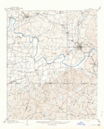
19 topographic sheets cover this place, the earliest surveyed in 1890 and the latest in 1992. It stands in the Cartersville census division. It lies in ZIP code area 30120. It stands on Nancy Creek. The Survey maps it on the Cartersville quadrangle.
Topographic sheets covering this place
12 surveys from 19 printed sheetsMatched by testing this settlement's coordinate against the published boundary of every sheet in the United States Geological Survey's historical collection. Each opens the scanned sheet at the Survey.
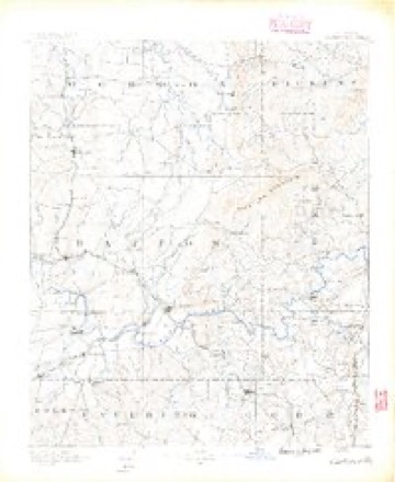
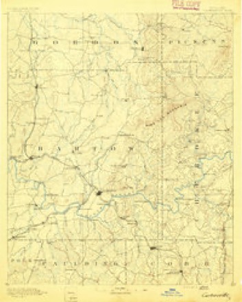
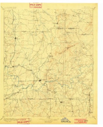
- 1890 USGS Cartersville quadrangle1:125000
- 1891 USGS Cartersville quadrangle1:125000
- 1896 USGS Cartersville quadrangle1:125000, 4 printings
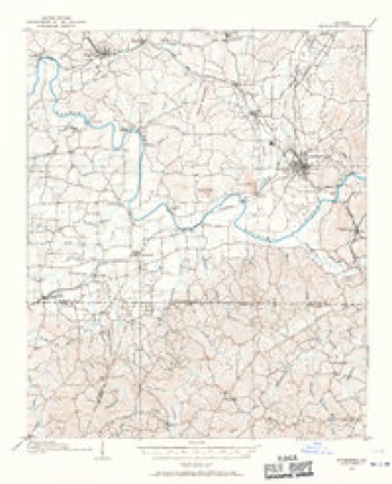
- 1906 USGS Stilesboro quadrangle1:62500
- 1908 USGS Stilesboro quadrangle1:62500
- 1955 USGS Rome quadrangle1:250000
- 1958 USGS Rome quadrangle1:250000, 3 printings
- 1961 USGS Rome quadrangle1:250000
- 1963 USGS Rome quadrangle1:250000
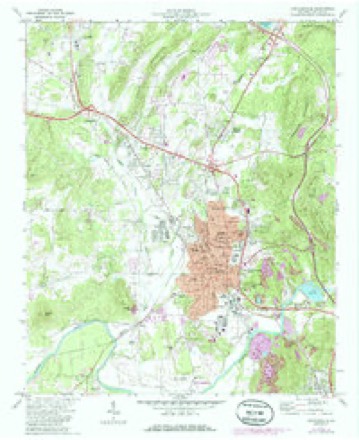
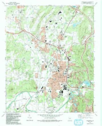
- 1972 USGS Cartersville quadrangle1:24000, 2 printings
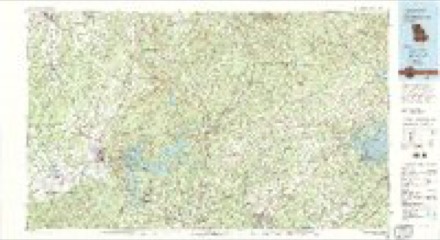
- 1981 USGS Cartersville quadrangle1:100000, 2 printings
- 1992 USGS Cartersville quadrangle1:24000




Fires near this place
292 since 1992Regional context, not property-specific evidence. The federal wildfire occurrence database lists 292 fires within 5 miles of Ladds between 1992 and 2020, burning about 1,109 acres in total. 7 started naturally. 120 were recorded as arson. Distance is straight-line from the map coordinates, so a fire counted here may appear on a neighbouring settlement's page as well.
| Reported cause | Fires |
|---|---|
| Arson/incendiarism | 120 |
| Debris and open burning | 95 |
| Missing data/not specified/undetermined | 19 |
| Misuse of fire by a minor | 18 |
| Recreation and ceremony | 13 |
| Equipment and vehicle use | 10 |
| Railroad operations and maintenance | 10 |
| Natural | 7 |
The most recent of them, most recent first, with the day each was reported and the service that recorded it.
| Date | Cause | Size | Reported by | Name on the report |
|---|---|---|---|---|
| 9 September 1997 | Arson/incendiarism | under an acre | Georgia Forestry Commission | not named |
| 8 September 2005 | Railroad operations and maintenance | under an acre | Georgia Forestry Commission | not named |
| 8 September 1999 | Railroad operations and maintenance | 3.3 acres | Georgia Forestry Commission | not named |
| 8 September 1993 | Equipment and vehicle use | under an acre | Georgia Forestry Commission | not named |
| 30 September 2016 | Debris and open burning | 21 acres | Georgia Forestry Commission | FY2017-BARTOW-007 |
| 3 September 1997 | Arson/incendiarism | 4.0 acres | Georgia Forestry Commission | not named |
| 27 September 1998 | Debris and open burning | 11 acres | Georgia Forestry Commission | not named |
| 17 September 1998 | Arson/incendiarism | under an acre | Georgia Forestry Commission | not named |
Settlements close enough to share some of these fires:
Mines and quarries near this place
10 of 180 shownRegional context, not property-specific evidence. The federal mineral resources record lists 180 workings within 5 miles of Ladds: 96 occurrences, 49 past producers, 24 unknowns, 7 prospects. 4 still produce. What was taken out: Iron, Barium-Barite, Manganese, Iron, Manganese. Distance is straight-line from the map coordinates, so a quarry counted here may appear on a neighbouring settlement's page as well.
| Where | Site | Commodity | Status | Recorded |
|---|---|---|---|---|
| Felton Mine | Iron, Sulfur | Past Producer | ||
| Gemes Mine Cartersville | Cobalt, Manganese | Past Producer | 1908 | |
| Georgia Art Pottery Co Pits | Clay | Past Producer | ||
| Jones Mine | Sand and Gravel, Construction, Barium-Barite | Past Producer | ||
| Ladd Lime and Stone Co Quarry | Stone, Crushed/Broken | Past Producer | ||
| Cartersville Operation | Barium-Barite, Calcium | Past Producer | ||
| Cherokee Barite | Manganese, Iron | Unknown | 1954 | |
| Cyprus Thompson Weinman Mine | Barium-Barite, Calcium | Past Producer | ||
| Lots 191 and 242 | Manganese, Iron | Unknown | 1954 | |
| Abramson | Iron, Manganese | Unknown | 1954 |
Storms near this place
9 since 2007Regional context, not property-specific evidence. The National Weather Service names Ladds in 9 storm reports between 2007 and 2024: 6 thunderstorm wind, 1 flood, 1 tornado, 1 lightning. The reports record 1 death and 2 injuries. Each account below is quoted exactly as the forecast office filed it, from the NOAA Storm Events Database, and each date opens the federal record of that event.
| When | Event | Place named | Harm | What the report says |
|---|---|---|---|---|
| April 2020 | Tornado (EF1) | Ladds | 1 killed, 2 hurt, $100,000 | A National Weather Service survey found that an EF1 tornado with maximum wind speeds of 100 mph and a maximum path width of 250 yards touched down in Bartow County on the southwest side of Cartersville along West Avenue where a fence was blown down and roofing material was peeled off of a small business. The tornado moved northeast along West Avenue with sporadic damage to trees. A very large oak tree was blown down onto a home around Herring Street and Fite Street killing a 34 year old man asleep in a bedroom hit by the tree. The tornado continued moving to the northeast blowing down trees along Bartow Street and West Cherokee Avenue in addition to other areas across downtown Cartersville. The tornado crossed I-75 and Highway 294/20 spur blowing down a few trees. The tornado intensified as it crossed Highway 20 east of I75. Numerous trees were blown down near the end of Black Road Northeast with minor roof damage to a home. Along Bells Ferry Road numerous large trees were snapped and blown down as the tornado reached maximum intensity in this |area. The storm crossed Stamp Creek Road blowing down trees and power lines before entering the Pine Log Wildlife Management Area blowing down 60-70 more trees before lifting. [04/12/20: Tornado #7, County #1/1, EF-1, Bartow, 2020:013]. |
| October 2007 | Thunderstorm Wind | Ladds | $10,000 | The Daily Tribune News of Cartersville reported that a thunderstorm wind gust caused a pavillion, under construction, to be blown down at the Trinity United Methodist Church on West Avenue. |
| July 2015 | Thunderstorm Wind | Ladds | $8,000 | The Bartow County 911 Center reported numerous trees blown down across the county. The greatest impact was around Cartersville. |
| August 2024 | Lightning | Ladds | $5,000 | Lightning strike caused fire at church near intersection of old mill rd near etowah village apartments. |
| July 2024 | Thunderstorm Wind | Ladds | $2,000 | A tree was downed onto power lines on Mission Rd SW at Road 2 SW. |
| July 2023 | Thunderstorm Wind | Ladds | $1,000 | Report of powerline down on 600 block of Henderson Dr. |
| January 2009 | Flood | Ladds | $1,000 | The Daily Tribune News of Cartersville reported that four roads in the county were closed because of flooding. These included Parr Wade Bishop and Old Grassdale Roads in Cartersville, Puckett Road in Emerson, and Euharlee Road in the Mission Ridge Subdivision. The later of which was a result of a collapsed retaining wall. Damage was limited to minor debris removal. |
| August 2023 | Thunderstorm Wind | Ladds | - | Trees down on powerlines along Ehuarlee Road at Carlie Pass SW. |
| July 2023 | Thunderstorm Wind | Ladds | - | Report of power lines were downed on Euharlee Road. |
Nearest settlements
The eight closest, with where each one stands in the county. Distances are straight-line, computed from the Geographic Names Information System coordinates.
| Map | Place | Distance | Sheets |
|---|---|---|---|
| Deerfield Estates | 0.7 miles | 19 | |
| Terrell Heights | 1.0 miles | 19 | |
| Conyers Estates | 1.2 miles | 19 | |
| Mission Hills | 1.5 miles | 19 | |
| Cartersville | 1.9 miles | 19 | |
| Mission Estates | 2.1 miles | 19 | |
| Atco | 2.3 miles | 19 | |
| Junta | 2.3 miles | 19 |
Provenance
This settlement is recorded in the Geographic Names Information System as feature 332163. The sheet list is computed by point-in-boundary test against the United States Geological Survey's historical topographic inventory. Both are works of the United States government and carry no copyright under 17 U.S.C. 105.
Wildfire. Short, Karen C. 2022. Spatial wildfire occurrence data for the United States, 1992-2020 [FPA_FOD_20221014]. 6th Edition. Fort Collins, CO: Forest Service Research Data Archive. https://doi.org/10.2737/RDS-2013-0009.6 Collected with United States Government funding and usable without additional permissions or fees.
Mines and quarries. USGS Mineral Resources Data System (MRDS) https://mrdata.usgs.gov/mrds/ A work of the United States government, no copyright under 17 U.S.C. 105.
Storms. NOAA National Centers for Environmental Information, Storm Events Database https://www.ncei.noaa.gov/stormevents/ A work of the United States government, no copyright under 17 U.S.C. 105. Narratives are quoted verbatim from the National Weather Service report and are not edited or summarised.