 Block
Lawrenceville, Georgia
18 topographic sheets cover this place, the earliest surveyed in 1896 and the latest in 1998. It stands in the Lawrenceville census division. It lies in ZIP code area 30046. The Survey maps it on the Lawrenceville quadrangle. 30,629 people lived here at the 2020 count. It stands 1,066 feet above sea level.
Research this city
On record in Lawrenceville
Buildings and businesses the archive holds for this place. Each opens its own page, with the source record it came from.
On the National Register 6 records
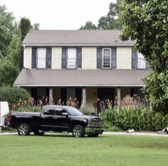 Robert Craig Plantationlisted 1990
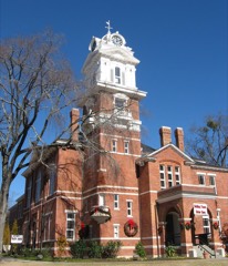 Gwinnett County Courthouselisted 1980
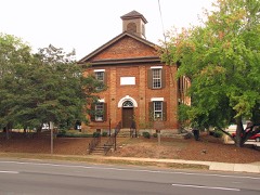 Old Seminary Buildinglisted 1970
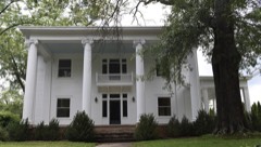 Clarence R. Ware Houselisted 1982
- Isaac Adair Houselisted 2000
- William Terrell Homeplacelisted 1982
Surveyed buildings and structures 6 records
- Craft Farm, Barn, 1912 North Brown Road, Lawrencevillefederal building survey, 2 photographs
- Craft Farm, House, 1912 North Brown Road, Lawrencevillefederal building survey, 10 photographs
- Craft Farm, Shed, 1912 North Brown Road, Lawrencevillefederal building survey, 2 photographs
- Craft Farm, Smokehouse, 1912 North Brown Road, Lawrencevillefederal building survey, 2 photographs
- Craft Farm, Well House, 1912 North Brown Road, Lawrencevillefederal building survey, 2 photographs
- Landers-Cain House, 915 Pleasant Hill Road, Lawrencevillefederal building survey, 23 photographs
Population over time
2 figuresLawrenceville grew from 28,546 to 30,629 between 2010 and 2020. These are the recorded population figures Wikidata holds for this place, reached through the Geographic Names Information System number this page is keyed on rather than by name, so they belong to this place and not to another of the same name. Most are census counts, but not all are: an early figure may be a founding or settlement estimate, and an estimate published within five years of a census is left out. The change column is computed, and is left blank where more than 20 years separate a figure from the one before it, because a gap that long is not a change between two counts.
| Year | People | Change |
|---|---|---|
| 2010 | 28,546 | |
| 2020 | 30,629 | +2,083 (+7%) |
Topographic sheets covering this place
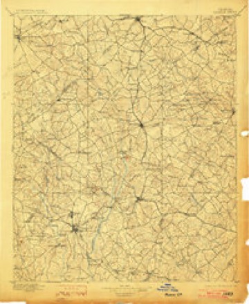
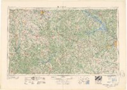
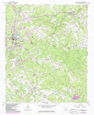
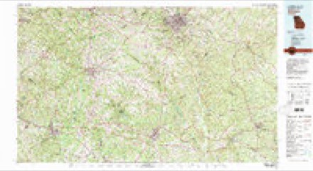
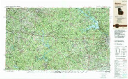
10 surveys from 18 printed sheetsMatched by testing this settlement's coordinate against the published boundary of every sheet in the United States Geological Survey's historical collection. Each opens the scanned sheet at the Survey.
- 1896 USGS Monroe quadrangle1:125000, 5 printings
- 1953 USGS Athens quadrangle1:250000, 3 printings
- 1958 USGS Athens quadrangle1:250000
- 1959 USGS Athens quadrangle1:250000
- 1963 USGS Athens quadrangle1:250000
- 1964 USGS Lawrenceville quadrangle1:24000, 2 printings
- 1980 USGS Athens quadrangle1:100000, 2 printings
- 1988 USGS Athens quadrangle1:250000
- 1992 USGS Lawrenceville quadrangle1:24000
- 1998 USGS Lawrenceville quadrangle1:24000
Photographs
8 of 9 photographs shown, 1937 to 2020Taken for the Office of War Information and the Farm Security Administration, who photographed the country between 1935 and 1944. Works of United States government photographers, with no known restriction on use. Each opens its catalogue record.
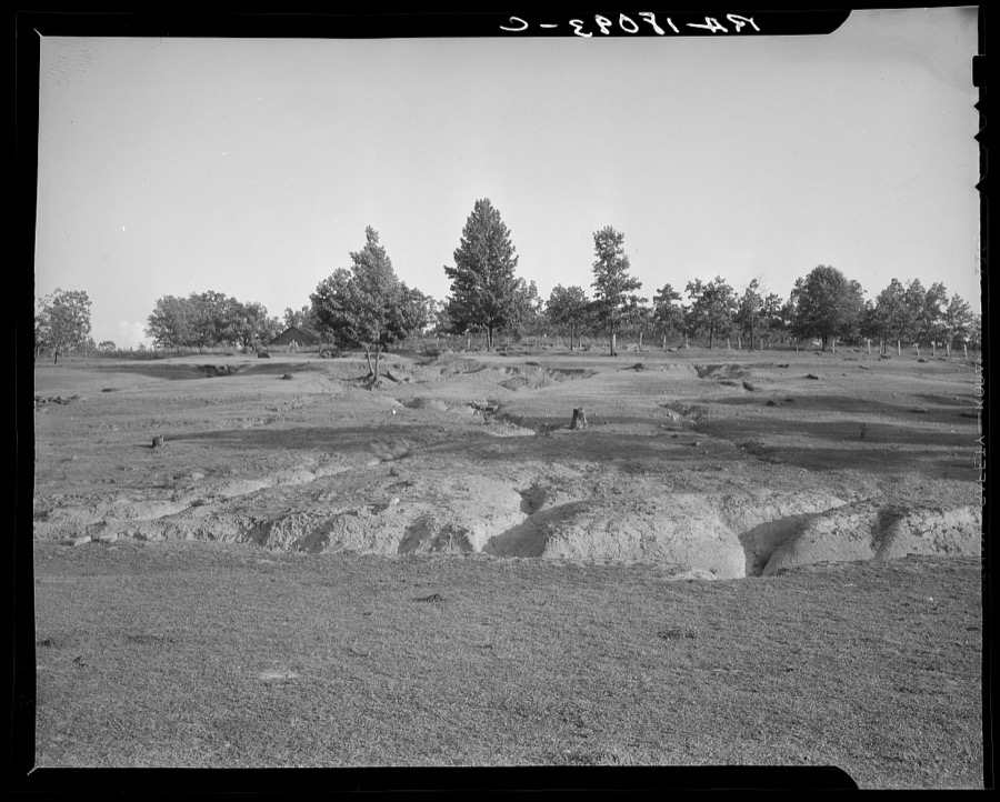
Lange, Dorothea, photographer, 1937. Library of Congress
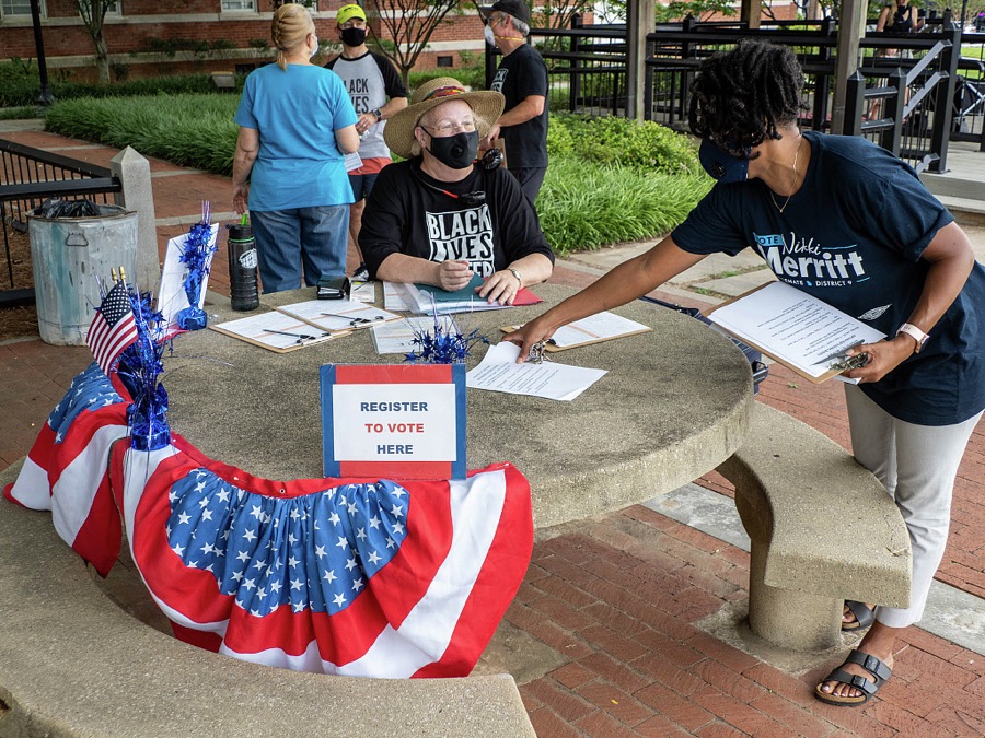
Ramspott, John, photographer, 2020. Library of Congress
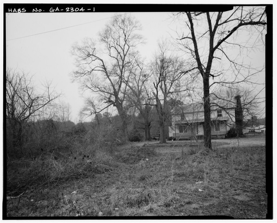
Photographer not recorded. Library of Congress
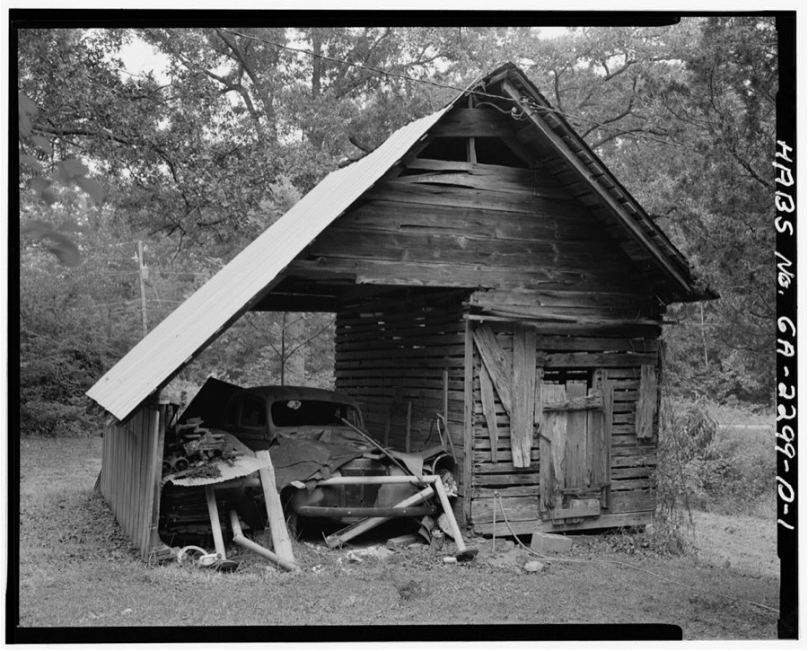
Photographer not recorded. Library of Congress
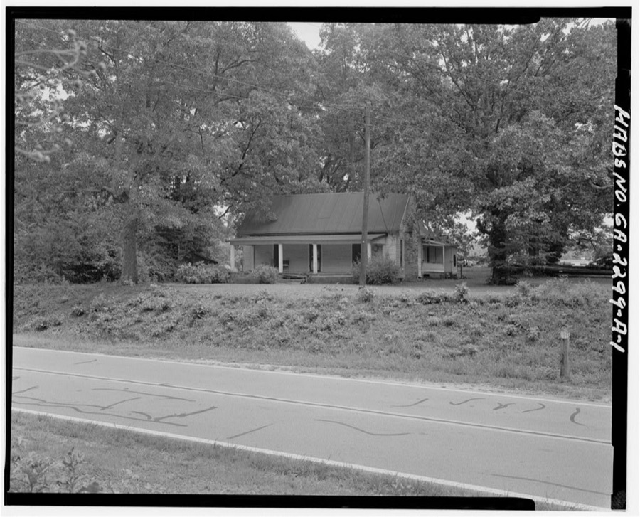
Photographer not recorded. Library of Congress
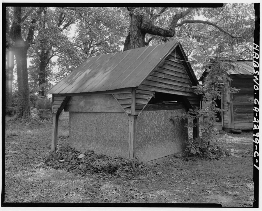
Photographer not recorded. Library of Congress
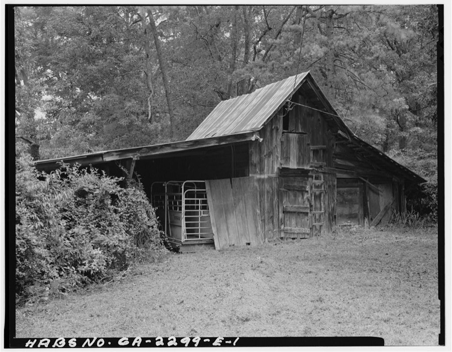
Photographer not recorded. Library of Congress
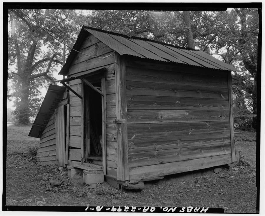
Photographer not recorded. Library of Congress
Every photograph of Gwinnett County
Fires near this place
95 since 1992Regional context, not property-specific evidence. The federal wildfire occurrence database lists 95 fires within 5 miles of Lawrenceville between 1992 and 2017, burning about 317 acres in total. 1 started naturally. 43 were recorded as arson. Distance is straight-line from the map coordinates, so a fire counted here may appear on a neighbouring settlement's page as well.
| Reported cause | Fires |
|---|---|
| Arson/incendiarism | 43 |
| Debris and open burning | 23 |
| Misuse of fire by a minor | 13 |
| Recreation and ceremony | 6 |
| Missing data/not specified/undetermined | 5 |
| Railroad operations and maintenance | 2 |
| Equipment and vehicle use | 2 |
| Natural | 1 |
The most recent of them, most recent first, with the day each was reported and the service that recorded it.
| Date | Cause | Size | Reported by | Name on the report |
|---|---|---|---|---|
| 4 August 1992 | Arson/incendiarism | 4.4 acres | Georgia Forestry Commission | not named |
| 20 August 1993 | Debris and open burning | 1.2 acres | Georgia Forestry Commission | not named |
| 2 August 1995 | Debris and open burning | under an acre | Georgia Forestry Commission | not named |
| 16 August 1995 | Arson/incendiarism | under an acre | Georgia Forestry Commission | not named |
| 6 July 1996 | Misuse of fire by a minor | 3.4 acres | Georgia Forestry Commission | not named |
| 6 July 1996 | Misuse of fire by a minor | under an acre | Georgia Forestry Commission | not named |
| 24 July 1995 | Arson/incendiarism | under an acre | Georgia Forestry Commission | not named |
| 19 July 1993 | Arson/incendiarism | under an acre | Georgia Forestry Commission | not named |
Settlements close enough to share some of these fires:
Mines and quarries near this place
2 within 5 milesRegional context, not property-specific evidence. The federal mineral resources record lists 2 workings within 5 miles of Lawrenceville: 2 producers. All of them still produce. What was taken out: Stone, Crushed/Broken, Granite. Distance is straight-line from the map coordinates, so a quarry counted here may appear on a neighbouring settlement's page as well.
| Where | Site | Commodity | Status | Recorded |
|---|---|---|---|---|
| Dixie Blue Quarry | Granite | Producer | ||
| Galite #1 | Stone, Crushed/Broken | Producer |
Storms near this place
60 of 75 shownRegional context, not property-specific evidence. The National Weather Service names Lawrenceville in 75 storm reports between 1995 and 2024: 25 thunderstorm wind, 22 hail, 22 lightning, 3 heavy rain. The reports record 2 injuries. Each account below is quoted exactly as the forecast office filed it, from the NOAA Storm Events Database, and each date opens the federal record of that event.
| When | Event | Place named | Harm | What the report says |
|---|---|---|---|---|
| November 2004 | Thunderstorm Wind | Lawrenceville | 1 hurt, $100,000 | The Gwinnett County Emergency Management Director reported that a number of trees and several power lines were down from Lawrenceville to Snellville. Two homes suffered significant damage when large trees fell on the structures. A large hardwood tree fell through a home in Lawrenceville. A woman inside was injured when falling debris struck her in the head. A Chevy Impala and a pickup truck in the driveway were also damaged. Another tree fell on a house in Snellville, causing significant damage to that home as well. Two cars in the garage of that home were also damaged. Around 300 residents in the county were left without power for several hours following the storms. |
| July 2008 | Thunderstorm Wind | Lawrenceville | 1 hurt, $25,000 | The Gwinnett Daily Post of Lawrenceville reported that a tree fell on a home in the 850 block of Chandler Road as a result of a downburst associated with a thunderstorm. A woman inside was injured and treated at the scene by paramedics. |
| April 2000 | Tornado (F1) | Lawrenceville | $1,500,000 | Emergency Management and an NWS Storm Survey team reported that a severe thunderstorm produced damage along a 4 mile path from near the intersection of Sever Road and Highway 120, to near the intersection of highways 20 and 124 near the commuinity of Allendale. Most of the damage was due to straight line winds, but there were signs of an intermittent F0-F1 tornado touchdown. Three homes were completely destroyed. Approximately 80 homes were damaged, 15 to 20 of which sustained major damage. In addition, numerous trees and powerlines were reported down, and vehicles were damaged along the storm path. Most of the damage took place in three subdividions; Olde Peachtree Station, which bore the brunt of the damage, Collins Heights, and Jacksons Township. Damage was also reported to the roof of the Motorola Corporation at 1700 Belle Meade Ct. Damage was estimated at $1.5 million. |
| July 2009 | Lightning | Lawrenceville | $450,000 | The Gwinnett Daily Post reported that lightning struck a two-story home on Castle Royal Drive. The home sustained significant damage from the resulting fire. A family of five was displaced as a result of this lightning-related fire. |
| January 2001 | Lightning | Lawrenceville | $325,000 | The Atlanta Journal and Constitution reported that lightning set two homes on fire. The first, a four bedroom home, was located on Millhaven Court Cove and was completely destroyed by the ensuing fire. The second home was located on Harbor Bay Drive. Firefighters were able to contain the fire to the attic area of this house. |
| August 2012 | Lightning | Lawrenceville | $300,000 | Gwinnett police and the Broadcast Media relayed reports of three house fires; one on Stoneforest Drive, one on Georgian Point Drive, and another on Lake Lucerne Drive. All three homes were heavily damaged. |
| June 2010 | Lightning | Lawrenceville | $250,000 | The Gwinnett Daily Post of Lawrenceville reported that lightning struck a home on Sydney Crest Lane. The resulting fire caused moderate damage to an exterior wall and the attic. The entire home suffered extensive smoke damage. The fire appeared to start when the lightning struck the incoming electrical line to the home. The family of four was displaced as a result of the incident. |
| July 2007 | Lightning | Lawrenceville | $200,000 | The Gwinnett Daily Post and local Atlanta broadcast media reported that lightning struck a home on Paden Mill Trace and set the home on fire. A portion of the roof and burned and extensive damage resulted to much of the second floor of the home. The occupants were displaced from their home. |
| August 2006 | Lightning | Lawrenceville | $200,000 | The Gwinnett Daily Post reported that lightning struck a home on Waverly Drive. The home was destroyed by the resulting fire. A firefighter sustained minor injuries when he fell through the floor of the burning home. Four adults and two children escaped without injury, but were displaced as a result of the home loss. Two dogs survived the fire, but two cats did not. |
| August 2007 | Lightning | Lawrenceville | $150,000 | The Gwinnett Daily Post of Lawrenceville reported that lightning struck and set on fire a home on Primrose Place. |
| June 2007 | Lightning | Lawrenceville | $150,000 | The Gwinnett Daily Post reported that lightning struck a home on Beeblossom Trail. The resulting fire caused heavy damage to the attic and significant damage to the second floor of the home. |
| May 2008 | Lightning | Lawrenceville | $100,000 | The Gwinnett Daily Post of Lawrenceville reported that a two-story home was struck and set on fire by lightning on Freshman Drive. Damage was confined mostly to the attic. |
| October 2002 | Thunderstorm Wind | Lawrenceville | $100,000 | The Gwinnett county Emergency Management Director reported that thunderstorm winds in the form of a downburst or microburst, also likely a result of the remains of Pacific Hurricane Kenna moving through the area, caused considerable damage to four to five buildings on the downtown square. Glass facades were blown out of the fronts of the buildings, portions of the roof were peeled back on at least one business, and several signs were blown down. Several tree limbs were also blown down in the historic courthouse square. The most significant damage occurred to the Scotland Yard Antiques store, which sustained significant roof and facade damage. Part of a brick wall on one end of the building also collapsed. The damaged roof allowed water to come inside the store, which resulted in damage to some irreplaceable antiques. |
| May 1998 | Lightning | Lawrenceville | $75,000 | A home off Old Norcross Road near Lawrenceville was gutted by fire after being struck by lightning. |
| January 2013 | Thunderstorm Wind | Lawrenceville | $50,000 | Amateur radio relayed a report of a tree down on a house in Lawrenceville. |
| May 2007 | Lightning | Lawrenceville | $50,000 | The Gwinnett Daily Post of Lawrenceville reported that lightning struck a home on Kylee Dawn Circle setting the attic on fire. The attic sustained minor to moderate damage as a result. |
| June 2007 | Lightning | Lawrenceville | $50,000 | The Gwinnett Daily Post reported that lightning struck a home on Vicksburg Drive. The resulting fire caused considerable damage to the attic. |
| May 2004 | Lightning | Lawrenceville | $50,000 | The Gwinnett Daily-Post of Lawrenceville reported that lightning struck a home on Larchmont Circle setting the attic on fire. The fire was contained to the attic. No injuries were reported during the incident. |
| May 2006 | Thunderstorm Wind | Lawrenceville | $30,000 | The Gwinnett County Emergency Management Director reported that thunderstorm wind gusts blew down two to three large trees onto one unit of a quadraplex on Patterson Court. A mother and small child inside escaped uninjured. However, the roof and one bedroom in the unit sustained considerable damage. |
| March 2008 | Thunderstorm Wind | Lawrenceville | $25,000 | The Gwinnett County Emergency Management Director reported that a tree was blown down onto a school bus on Fence Road in the Lawrenceville area. |
| December 2002 | Lightning | Lawrenceville | $25,000 | The Gwinnett Daily Post reported that lightning struck the rear of a home on Spring Rose Glen causing slight fire damage, but extensive wiring damage. The family had to be relocated because all power had to be shut off to the home until repairs were made. However, no injuries were reported as a result of the incident. |
| July 2003 | Lightning | Lawrenceville | $15,000 | The Gwinnett Daily Post of Lawrenceville reported that lightning struck a home in Lawnreceville on Green Oak Circle putting a hole in the roof and setting the home on fire. The fire was exinguished within 30 minutes. |
| April 2006 | Lightning | Lawrenceville | $10,000 | The Gwinnett Daily Post of Lawrenceville reported that lightning struck two homes in the county. The first home was struck on Maltdie Court in Lawrenceville causing moderate damage to the chimney. The second home struck was in Dacula on Mapmaker Drive. Minor damage was reported to this residence. |
| June 2002 | Lightning | Lawrenceville | $10,000 | The Gwinnett Daily Post Newspaper reported that lightning struck a two-story home. The lightning set a receptacle on fire in the basement. The fire was quickly put out, but caused minimal burn damage to one room in the basement. The remainder of the home suffered minor smoke damage. The homeowner was treated and released at a local hospital for smoke inhalation as he tried to fight the fire himself. |
| May 1999 | Lightning | Lawrenceville | $10,000 | A newspaper report indicated 3 homes were struck by lightning in the Lawrenceville and Duluth areas. Details were unknown. |
| August 2020 | Thunderstorm Wind | Lawrenceville | $5,000 | The Gwinnett County Emergency Manager reported trees and power lines blown down from Lawrenceville to Dacula. |
| June 2010 | Lightning | Lawrenceville | $5,000 | The Gwinnett Daily Post reported that lightning struck a home on Silvertop Drive resulting in minor damage to the structure. No specific details were provided. |
| May 2006 | Lightning | Lawrenceville | $5,000 | The Gwinnett Daily Post of Lawrenceville reported that lightning struck a home on Winder Highway ruptering a gas line and setting a hot water heater closet on fire. The fire was contained to the closet. |
| July 2005 | Heavy Rain | Lawrenceville | $5,000 | The Gwinnett Daily-Post of Lawrenceville reported that heavy rain, associated with the remnants of Tropical Storm Cindy, caused a sinkhole to form under a driveway at a private residence. The driveway subsequently collapsed. |
| April 2003 | Lightning | Lawrenceville | $5,000 | The Gwinnett Daily Post of Lawrenceville reported that lightning struck a home on Cheyenne Lane. The lightning started a fire in the wall of the house. However, the fire was quickly extinguished and damage to the house was minimal. |
| June 2003 | Lightning | Lawrenceville | $5,000 | The Gwinnett Daily Post reported that lightning struck a home on Meadow Walk Lane setting the attic on fire. However, firefighters were able to minimize the damage from the fire. |
| August 2003 | Thunderstorm Wind | Lawrenceville | $5,000 | The public reported that thunderstorm winds caused minor property damage at one residence consisting of an awning blown off, six feet of facia siding on the roof edge peeled back, a shutter blown off, the top of one large tree and two smaller pear trees broken off, and a mailbox blown over. Numerous other items were also scattered about in the lawn including lawn furniture, garbage cans, plants and planters, and a full gas grill cylinder which was moved 10 feet. |
| May 1998 | Hail | Lawrenceville | $5,000 | Several public reports indicated dime to golf ball size hail from west of Lawrenceville through the Snellville area to near the Walton county line. There was a report of tornado sounds near Snellville. |
| March 1996 | Thunderstorm Wind | Lawrenceville | $5,000 | no account filed |
| May 2013 | Thunderstorm Wind | Lawrenceville | $3,000 | Local newspaper reported that several trees and power lines were blown down in the Lawrenceville area. |
| August 2014 | Thunderstorm Wind | Lawrenceville | $2,000 | The Emergency Manager reported power lines down at Archer High School and on Rafington Drive at Simonton Road. |
| June 2004 | Thunderstorm Wind | Lawrenceville | $2,000 | The public reported that a large tree was blown down at a residence onto a wooden fence. The fence was destroyed as a result. |
| April 2002 | Thunderstorm Wind | Lawrenceville | $2,000 | The public reported that some tree limbs, blown down by thunderstorm winds, fell on a car, causing damage to the vehicle. |
| July 1997 | Thunderstorm Wind | Lawrenceville | $2,000 | Several trees and limbs were knocked down by thunderstorm winds. |
| June 1997 | Thunderstorm Wind | Lawrenceville | $2,000 | Several power lines were snapped. |
| March 1997 | Thunderstorm Wind | Lawrenceville | $2,000 | no account filed |
| August 1996 | Thunderstorm Wind | Lawrenceville | $2,000 | no account filed |
| July 2001 | Thunderstorm Wind | Lawrenceville | $1,500 | The public reported that four trees were blown down at a private residence. Some of the guttering on the house was damaged as the trees fell. |
| August 2024 | Thunderstorm Wind | Lawrenceville | $1,000 | Tree down on building along the 600 block of fernstone trail sw. |
| August 2023 | Thunderstorm Wind | Lawrenceville | $1,000 | Report of tree down in roadway on Somerset Rd. |
| August 2023 | Thunderstorm Wind | Lawrenceville | $1,000 | Tree down on Plantation Blvd SW and Carmen Way SW. |
| June 1995 | Thunderstorm Wind | Lawrenceville | $1,000 | Thunderstorm winds knocked down numerous trees between Liliburn and Lawrenceville. |
| July 1999 | Thunderstorm Wind | Lawrenceville | $200 | The public reported hail from small up to golf ball size. There was also a report of large limbs blown down. |
| January 2023 | Thunderstorm Wind | Lawrenceville | - | Report of tree and powerlines down near the intersection of Lexington Dr and Monfort Rd. |
| January 2023 | Thunderstorm Wind | Lawrenceville | - | Powerlines down at intersection of Marble Arch Ave SE and Corley Brook Way SW. |
| June 2022 | Hail | Lawrenceville | - | Report of quarter size hail in downtown Lawrenceville. |
| April 2017 | Flash Flood | Lawrenceville | - | A USGS stream gage on Pew Creek on Patterson Road SW in Lawrenceville quickly reached flood stage of 11 feet. The creek crest at 11.37 feet at 4:45 PM EST. Minor flooding occurred in the natural floodplain upstream and downstream from the gage. The parking lot of the Saratoga Swim and Tennis Club downstream from the river gage experienced flooding. |
| June 2016 | Hail | Lawrenceville | - | An amateur radio operator reported quarter sized hail on Highway 316 between Highway 120 and Collins Hill Road. |
| March 2011 | Hail | Lawrenceville | - | The public observed quarter-sized hail in the Lawrenceville area. WSR-88D radar data suggests that most of this occurred south and southeast of Lawrenceville. |
| August 2007 | Hail | Lawrenceville | - | A storm spotter observed nickel-sized hail at Georgia Highway 316 and Patricks Mill Road in Lawrenceville. The Gwinnett County 911 Center observed penny-sized hail in Lawrenceville. Storm spotters estimated that the winds in the area were 50 mph. |
| June 2006 | Hail | Lawrenceville | - | The public reported penny-sized hail. |
| February 2005 | Hail | Lawrenceville | - | Numerous reports of hail, ranging in size from pennies to quarters, were received from the public. Nickel-sized hail was reported in Lawrenceville with quarter-sized hail in Grayson and Snellville. |
| August 2005 | Funnel Cloud | Lawrenceville | - | The leader of the Gwinnett County Skywarn reported a funnel cloud in the Lawrenceville area. A possible tornado touchdown was also reported. However, no damage was ever confirmed in this area. There was a definite mesocyclone indicated on National Weather Service Doppler Radar. |
| June 2004 | Heavy Rain | Lawrenceville | - | The coordinator for the Gwinnett County SkyWarn reported minor flooding on several creeks in the central and eastern portion of Gwinnett county from Lawrenceville, to Snellville, to the Walton county line near Loganville. Several creeks in these areas were out of their banks by as much as 10-15 feet. These included but were not limited to Alcovy Creek, Trebble Mill Creek, and Shannon Creek |
| June 2004 | Hail | Lawrenceville | - | Trained Skywarn spotters, along with the public and amateur radio operators reported hail, ranging in size from pennies to quarters, in Lawrenceville and from Duluth to Suwanee. Penny to nickel-sized hail fell in Duluth, penny to quarter-sized hail fell in Suwanee, and penny-sized hail fell in Lawrenceville. |
Nearest settlements
The eight closest, with where each one stands in the county. Distances are straight-line, computed from the Geographic Names Information System coordinates.
| Map | Place | Distance | Sheets |
|---|---|---|---|
| Sandlewood | 0.8 miles | 18 | |
| Acadia Woods | 1.0 miles | 18 | |
| Regal Estates | 1.1 miles | 21 | |
| Forest Hills | 1.2 miles | 18 | |
| Forest East | 1.3 miles | 18 | |
| Hanarry Estates | 1.4 miles | 21 | |
| Village Gate | 1.4 miles | 18 | |
| Yorktown | 1.9 miles | 21 |
Elsewhere
Matched on this settlement's Geographic Names Information System number rather than its name, so it cannot be a different place of the same name in another state.
| Wikipedia article on Lawrenceville | An encyclopaedic summary. Its text is share-alike, so it is linked here rather than copied. |
| Wikidata item Q970174 | The structured record the population and elevation above come from. Public domain (CC0). |
Provenance
This settlement is recorded in the Geographic Names Information System as feature 316699. The sheet list is computed by point-in-boundary test against the United States Geological Survey's historical topographic inventory. Both are works of the United States government and carry no copyright under 17 U.S.C. 105.
Wildfire. Short, Karen C. 2022. Spatial wildfire occurrence data for the United States, 1992-2020 [FPA_FOD_20221014]. 6th Edition. Fort Collins, CO: Forest Service Research Data Archive. https://doi.org/10.2737/RDS-2013-0009.6 Collected with United States Government funding and usable without additional permissions or fees.
Mines and quarries. USGS Mineral Resources Data System (MRDS) https://mrdata.usgs.gov/mrds/ A work of the United States government, no copyright under 17 U.S.C. 105.
Storms. NOAA National Centers for Environmental Information, Storm Events Database https://www.ncei.noaa.gov/stormevents/ A work of the United States government, no copyright under 17 U.S.C. 105. Narratives are quoted verbatim from the National Weather Service report and are not edited or summarised.